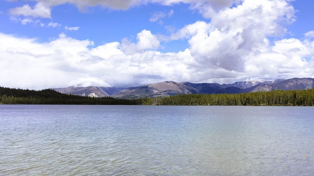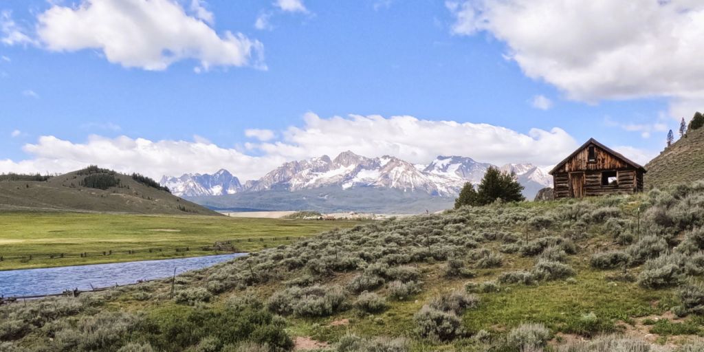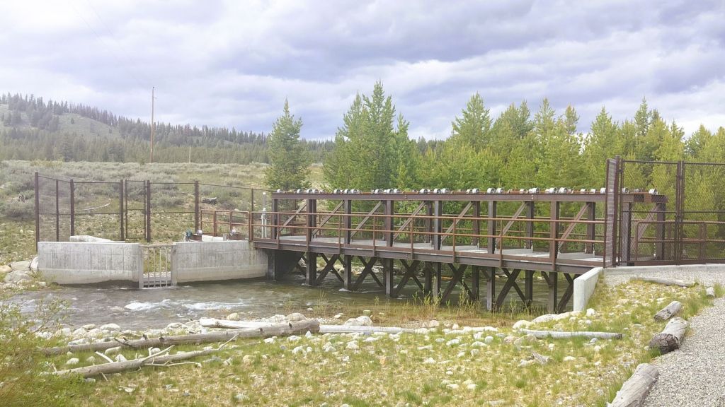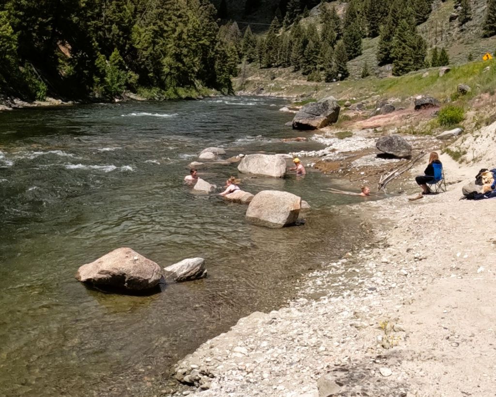

(2026 Wild West Wander Ep 13)
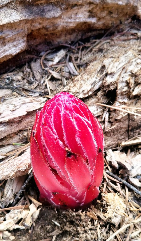
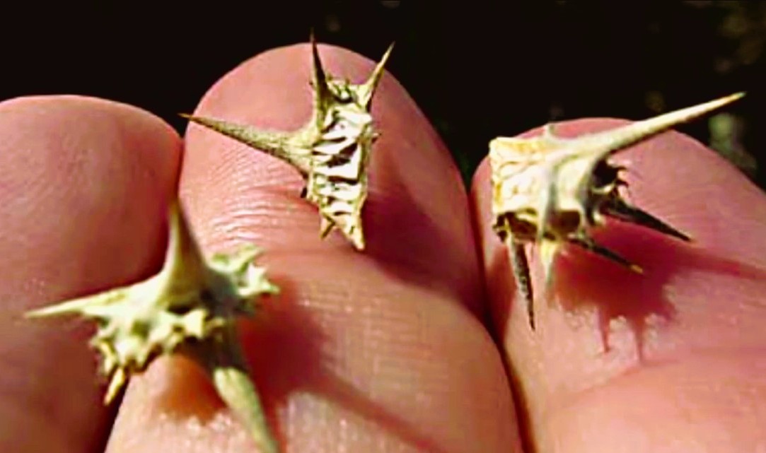
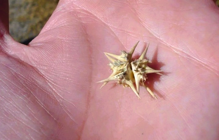
Goatheads are big.
They’re spiky and hard.
They’re like sandspurs on steroids and easily puncture bike tires
Before sharing the unfortunate ‘Tale of the Goatheads’, here is a quick travel update.
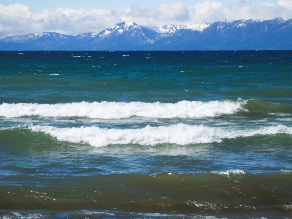
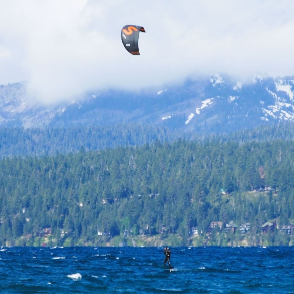
Missoula’s Endless Wave
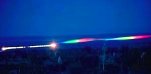
We camped behind a business in downtown Missoula, MT, and the next morning we stopped at a city park on the Clark Fork River. The river bisects the small city, with the University of Montana (home of the Grizzlies) across the river from downtown. What caught our attention was on the river itself.
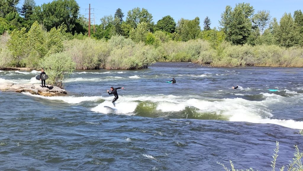
The swift-flowing river crosses a series of turbulent shoals, one of which swirls to create an endless wave three-to-five feet tall. From the park’s viewing area, we watched wetsuit clad surfers hastily paddle to the center of the river, stand and ride the wave. After dipping back and forth several minutes, each surfer floated downstream to give the next surfer a chance. Surfer friends (you know who you are), take note of this next time you are in Montana!
Hiking and Biking Coeur d’Alene
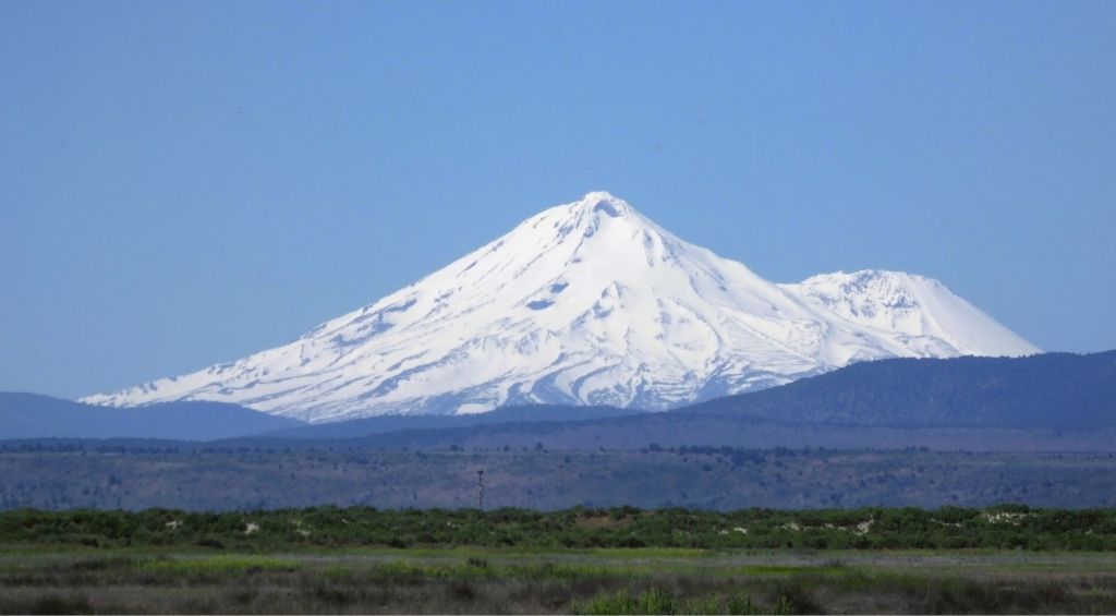
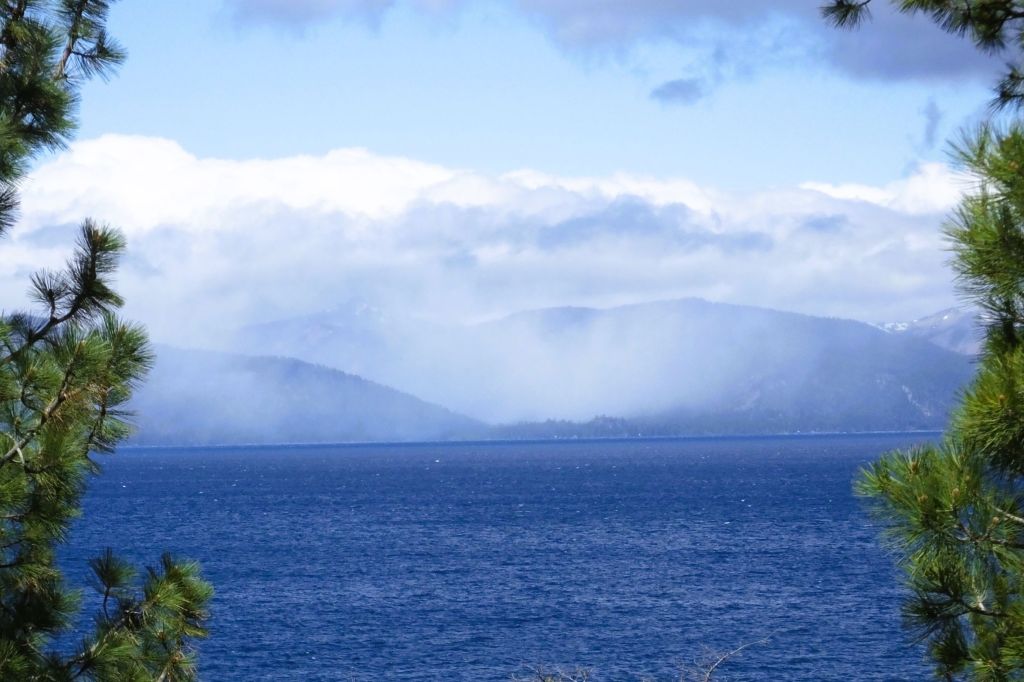
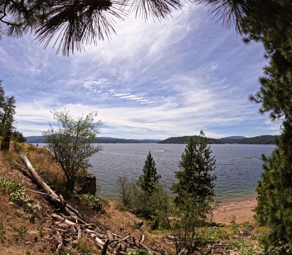
We drove westward through the Bitterroot Mountains and arrived at Coeur d’Alene, ID.
CDA, as it is called by locals, is a beautiful tourist town on Lake Coeur d’Alene.
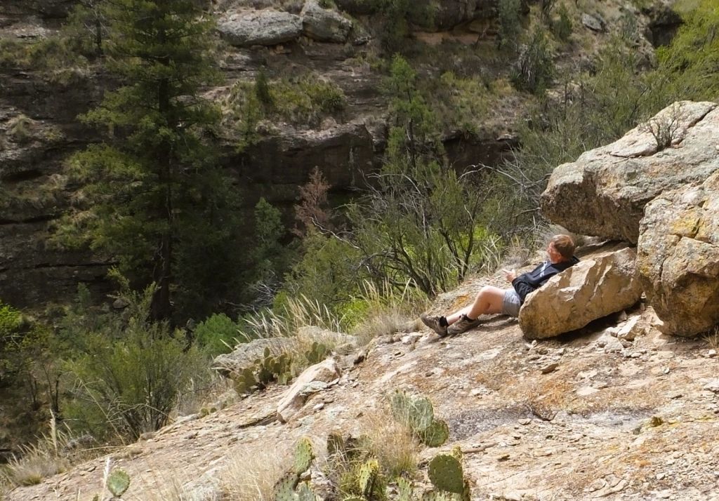
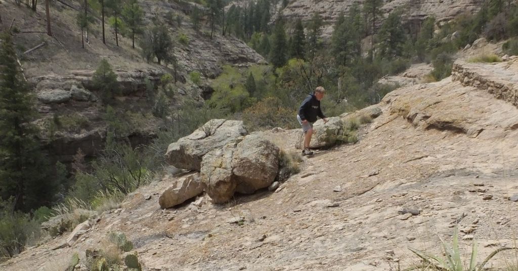
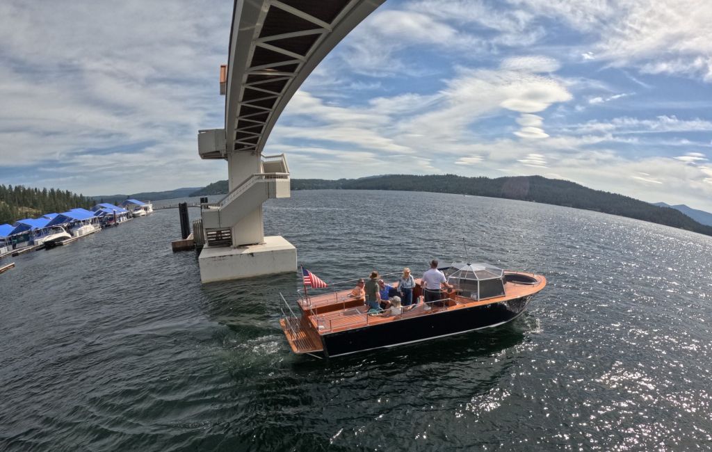
An inviting park on the lake’s edge in CDA was crowded during our weekday visit. Nearby, we followed an interesting scenic walk around a large marina with an elevated pedestrian walkway over the entrance/exit to the marina. Adjacent to the park and marina, we hiked in Tubbs Hill Park, with its challenging trails around and to the top of the 400-foot hill. The view of the lake and distant hills from the top was beautiful.
Spokane – Gateway to the Pacific Northwest
The Spokane River exits the lake and flows westward to (you guessed it) Spokane, WA. Spokane is the second largest city in the state, with more than a half million people living in the Spokane metro area – it was the largest city we visited in more than a month.
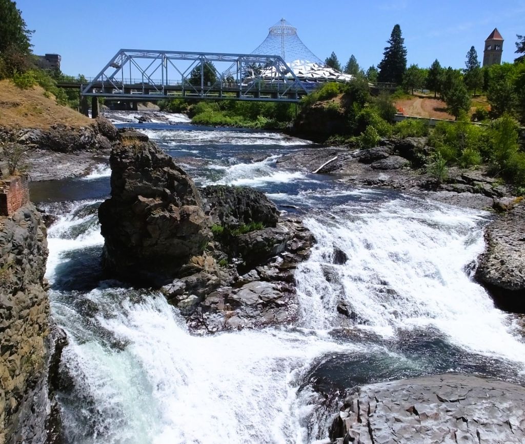
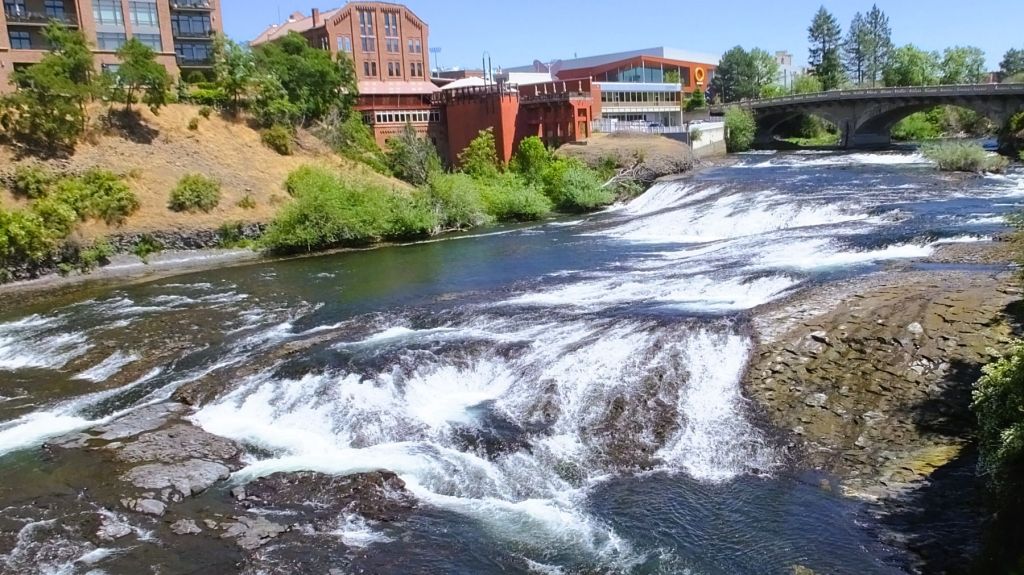
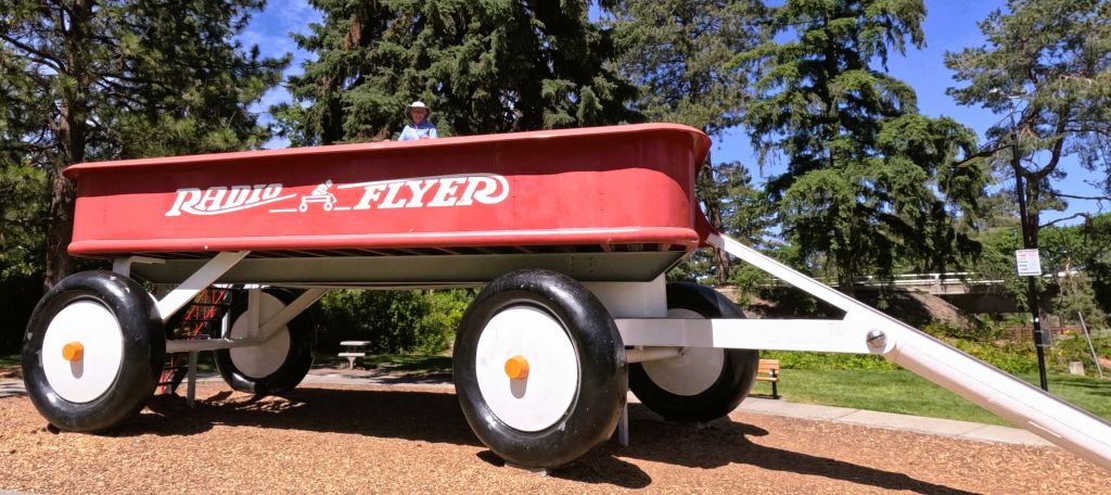
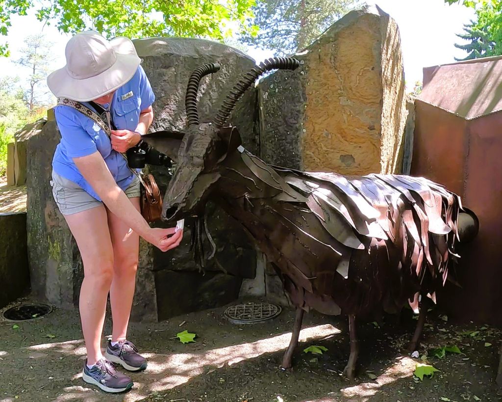
There are several scenic waterfalls on the river near downtown Spokane. We were surprised to learn that Spokane hosted the World’s Fair in 1974. There are several structures, fountains, outdoor artwork and even a garbage eating metal goat that are reminders of the fair.
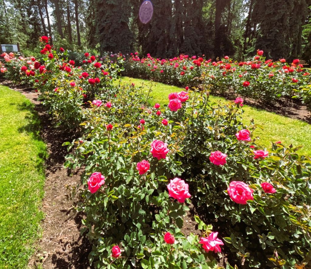
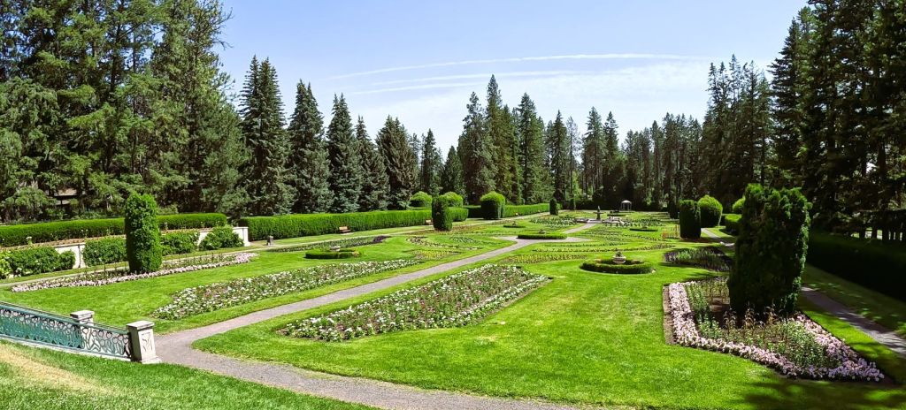
We visited Spokane’s Manito Park, a free botanical garden, and enjoyed the remarkable rose garden, Japanese garden, expansive Victorian garden, colorful perennial garden and several greenhouses.
Bike Trails and Sore…
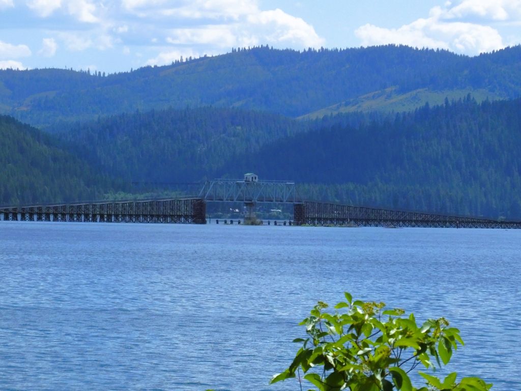
About an hour south of CDA we bicycled a portion of the Trail of the Coeur d’Alenes, a rail trail that follows the shore of Lake Coeur d’Alene.
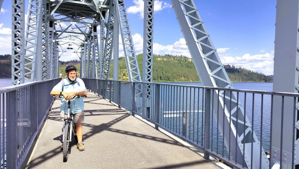
We rode eight, mostly flat miles to Harrison for lunch and as we returned, we discovered that parts of our anatomy were rather sore from the long ride.
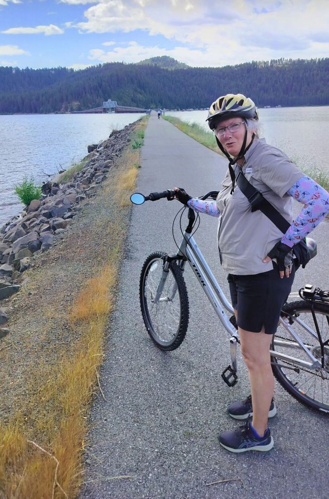
The lakeside ride was to prepare us for an epic rail-trial ride planned for the next day when we left CDA for Montana.
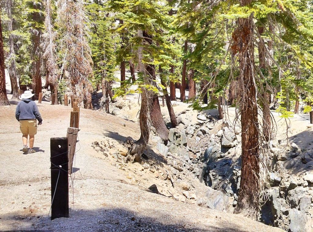
Trail of the Hiawatha
Completed in 1909, the Chicago, Milwaukee, St Paul and Pacific Railroad (aka Milwaukee Road) expanded westward through the rugged Bitterroot Mountains between Montana and Idaho. The Milwaukee Road offered intercontinental freight and passenger service, including the Olympian Hiawatha, a high-speed passenger train.
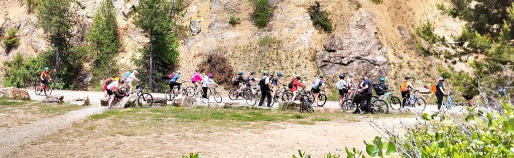
After much of the rail line was abandoned by 1980, portions were subsequentially converted to a rail trail, and in 1998, the 15-mile mostly downhill ‘Trail of the Hiawatha’ was opened.
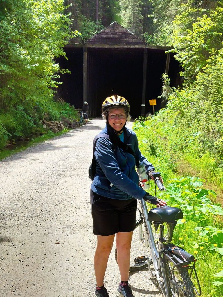
The bike trail includes ten tunnels, including the 1.6-mile St Paul Pass Tunnel, and seven sky-high wooden trestles. At the end of the trail, a shuttle returns riders to the tunnel which they ride through to return to the start of the trail.
A LONG Tunnel and Amazing Vistas
As Pat and I started on the trail, we rode through the St Paul Pass Tunnel. Handlebar-mounted lights guided us through the very dark, cold and wet tunnel. In the middle of the 20-minute tunnel ride, we crossed the state line between Montana and Idaho. We also crossed from the Mountain to the Pacific time zones.
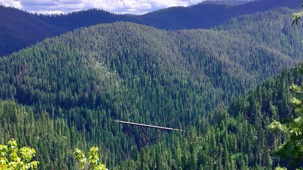
We emerged from the tunnel to expansive views of the Bitterroot Mountains. Ahead were several long trestles we would eventually cross during our downhill journey.
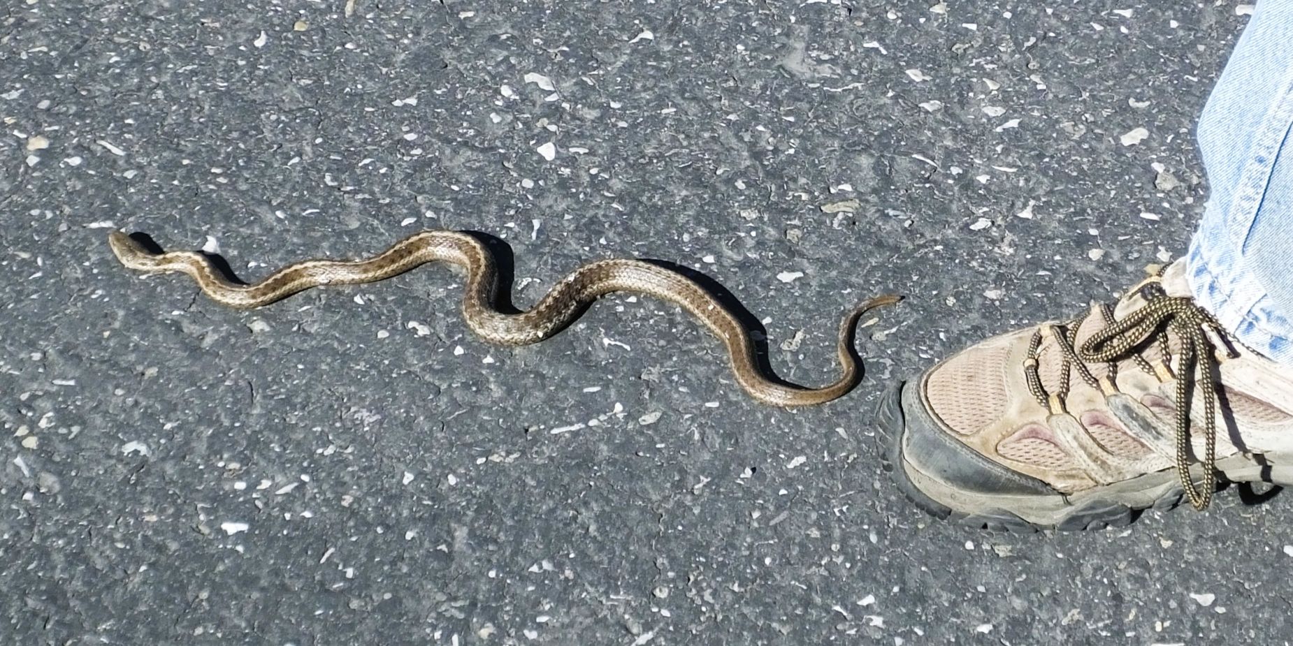
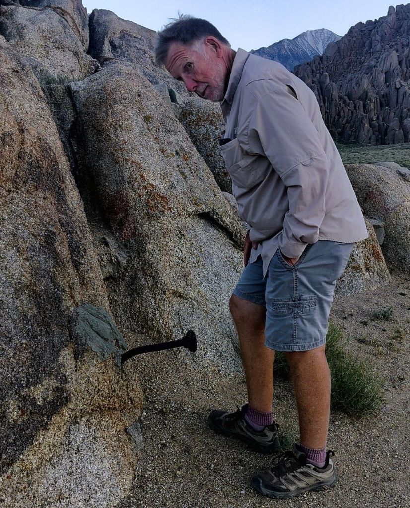
Tale of the Goathead
After 10 miles or so, the Trail of the Hiawatha became the Tale of the Goathead.
My rear tire started losing air and eventually went flat. I tried to reinflate the tire but it quickly deflated. My tire was the victim of a goathead!
We weren’t sure of the time and feared we might miss the shuttle at the end of the trail, so Pat rode ahead to get help. I walked my bike along as quickly as possible.
Pat learned a truck would sweep the trail to pick up riders with bike problems. After walking nearly five miles, the rescue truck finally picked me up – just a quarter mile from the end!
We were shuttled back to the long tunnel, and after my tire was repaired, we rode back through the dark, cold and wet tunnel to the start of our journey.
In 2018, as we returned from Alaska, we BOTH suffered goathead-inflicted flats while riding a trail near Boise. We had to walk several miles back to the campground.
We eventually replaced our tires with knobby new tires, but they didn’t protect me eight years later.
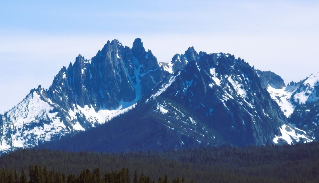
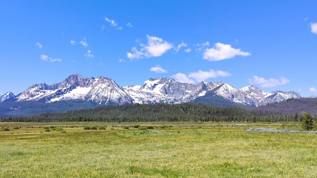
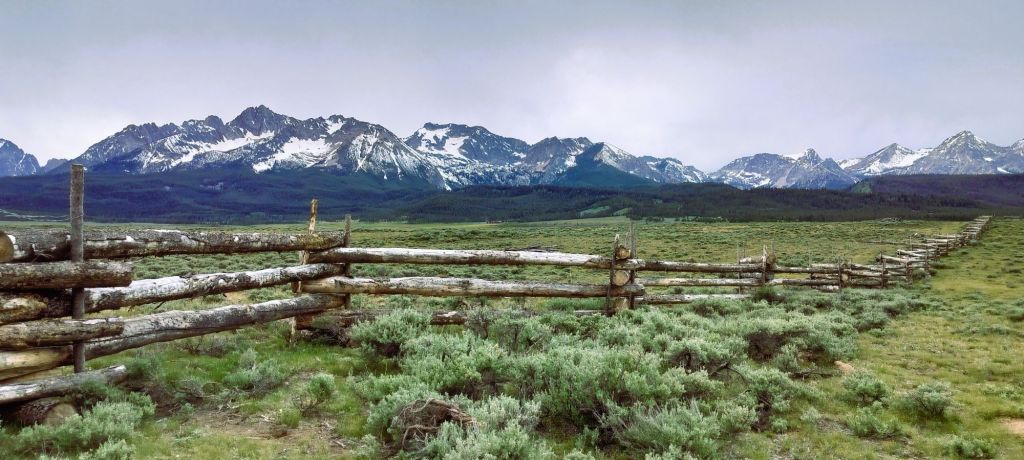
Should we visit Idaho in the future, we’ll hike, not bike – to avoid a third Tale of the Goatheads!
Next Week
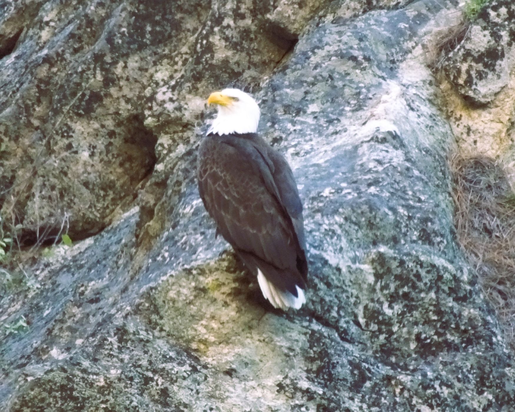
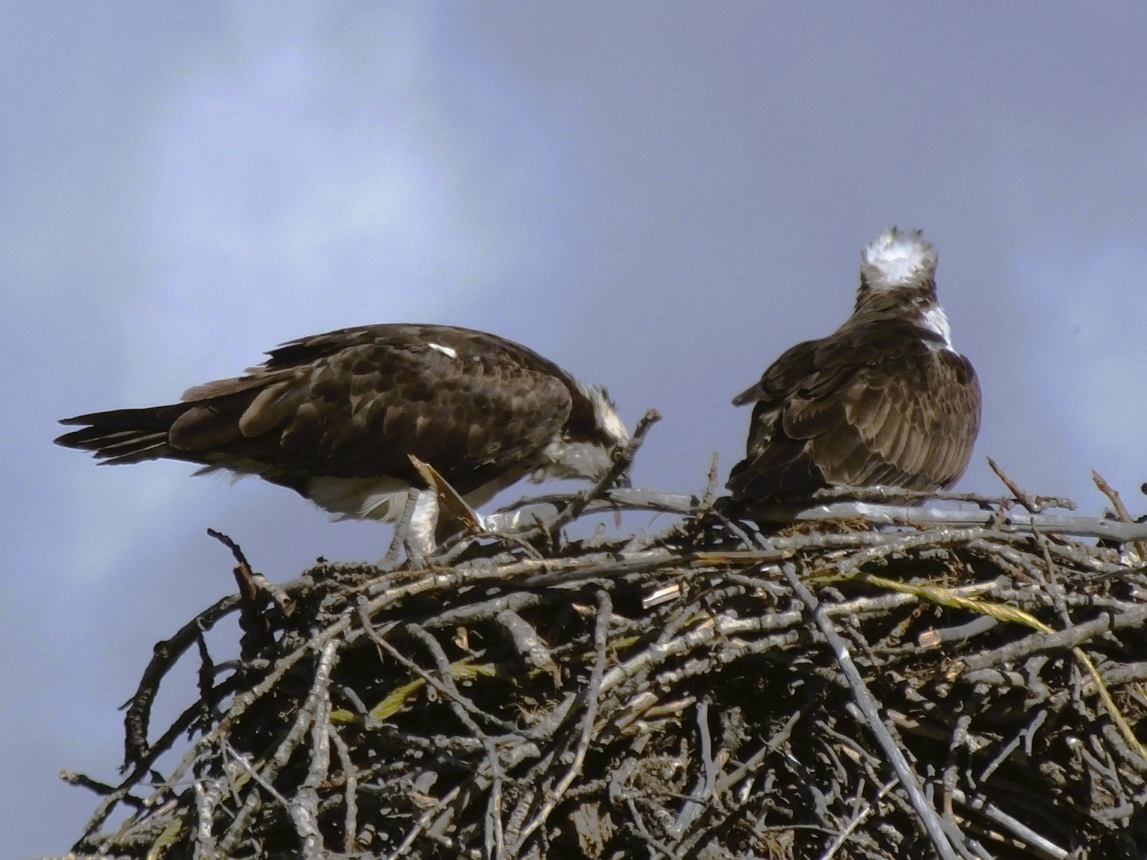
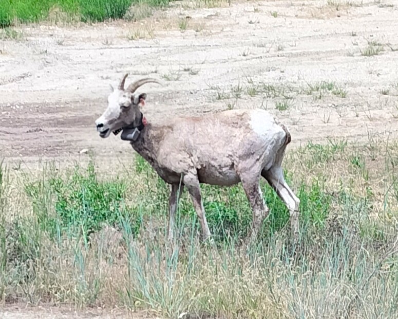
There are few RabbiTRAILS better than the mountains, rivers, thermal features and wildlife in Yellowstone.