(2025 Wild West Wander Ep 10)
How do you plan your travels?
When we plan RabbiTRAILS, we look for special destinations to serve as our travel anchor points. We call those our BIG ROCKS.
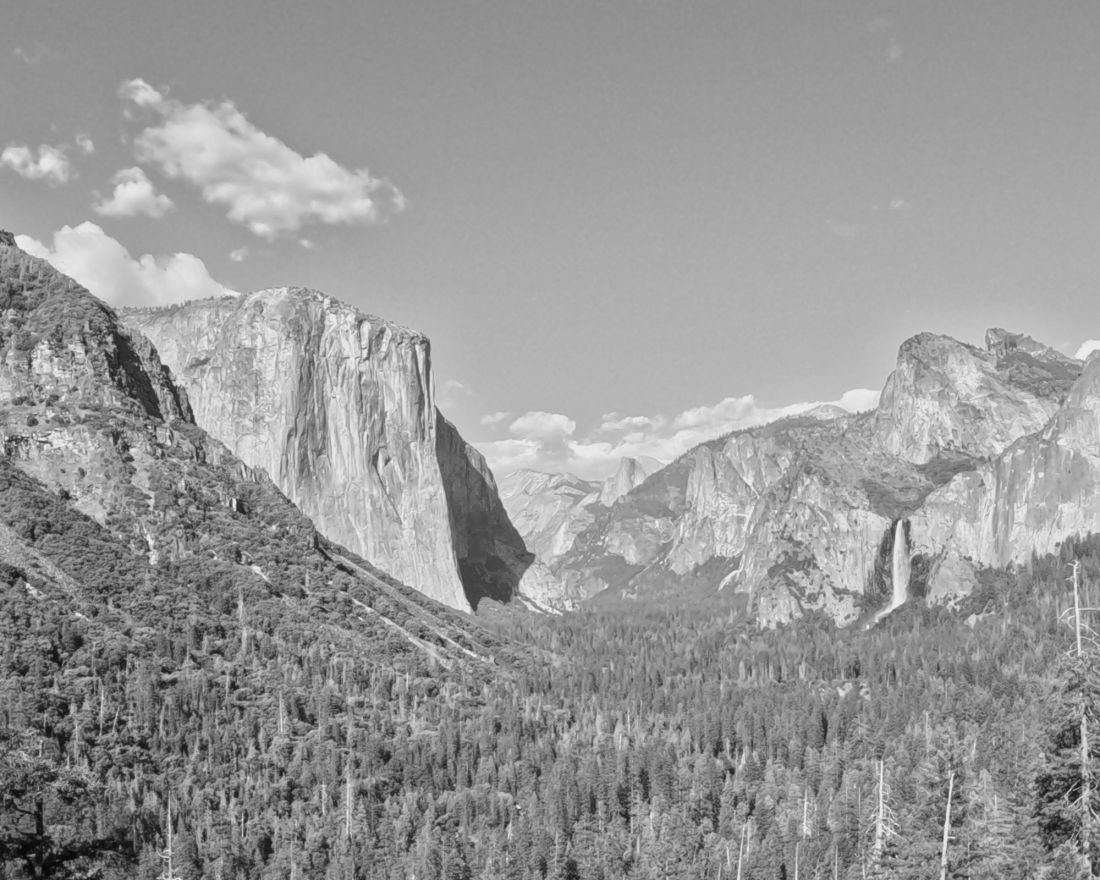
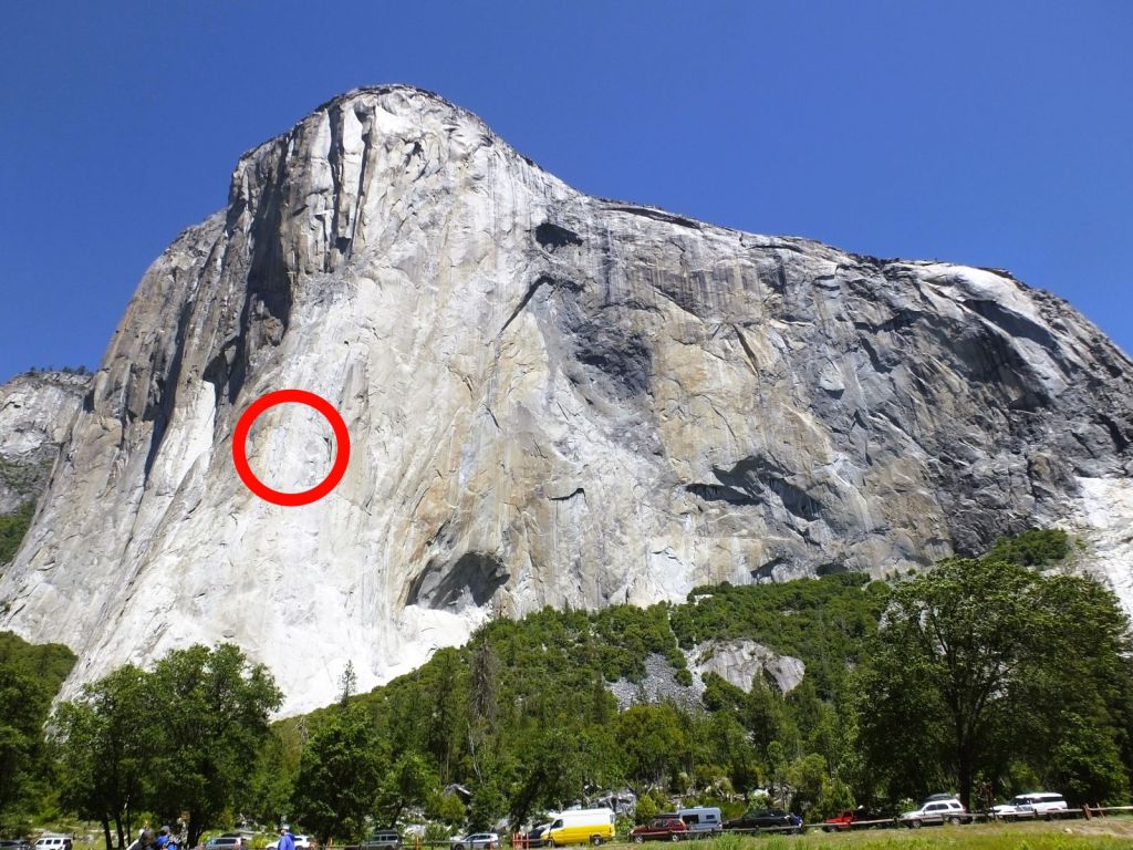
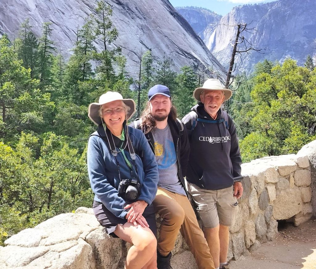
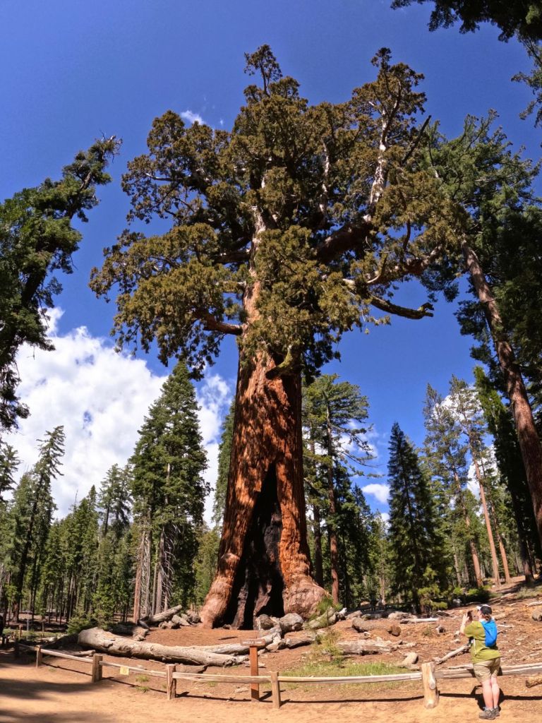
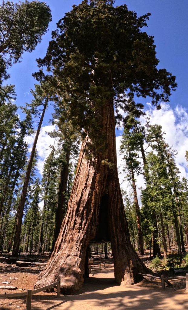
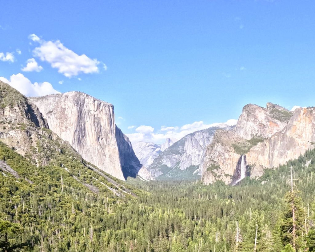
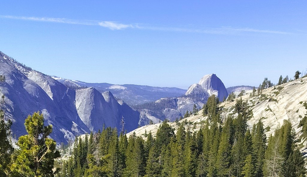
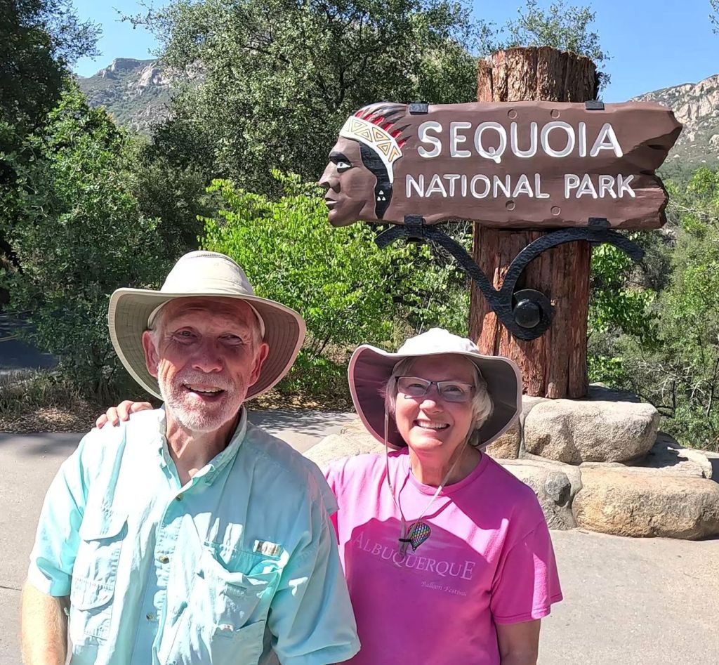
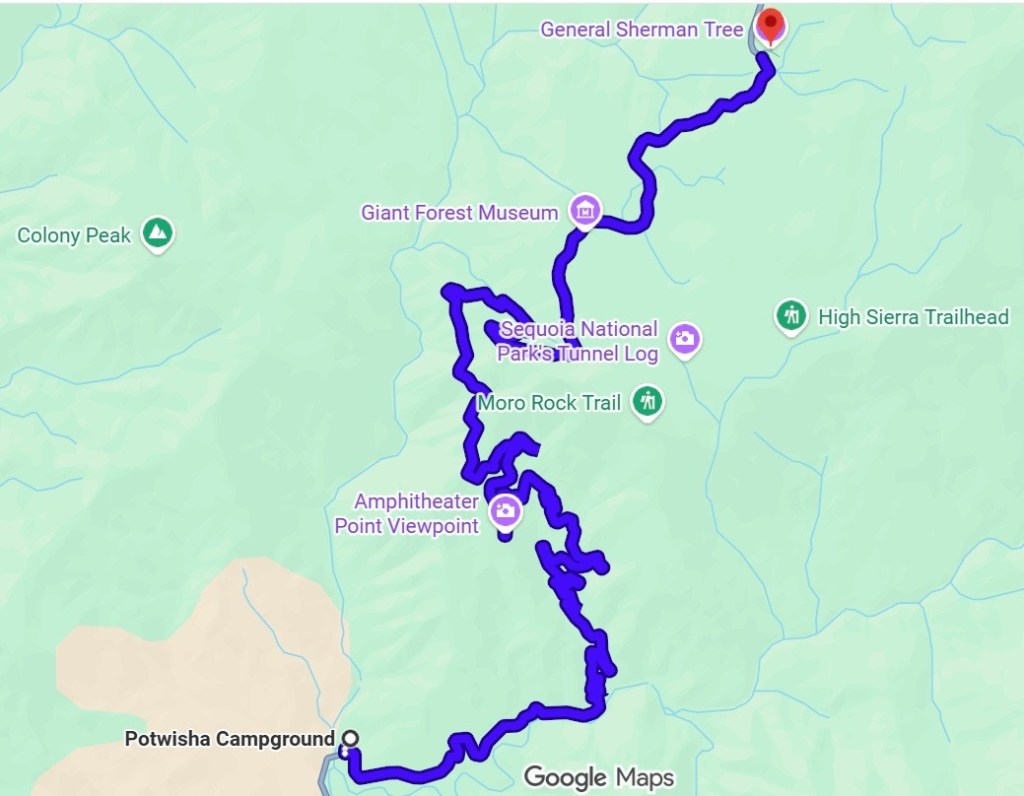
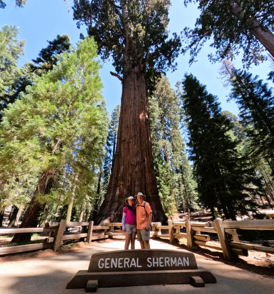
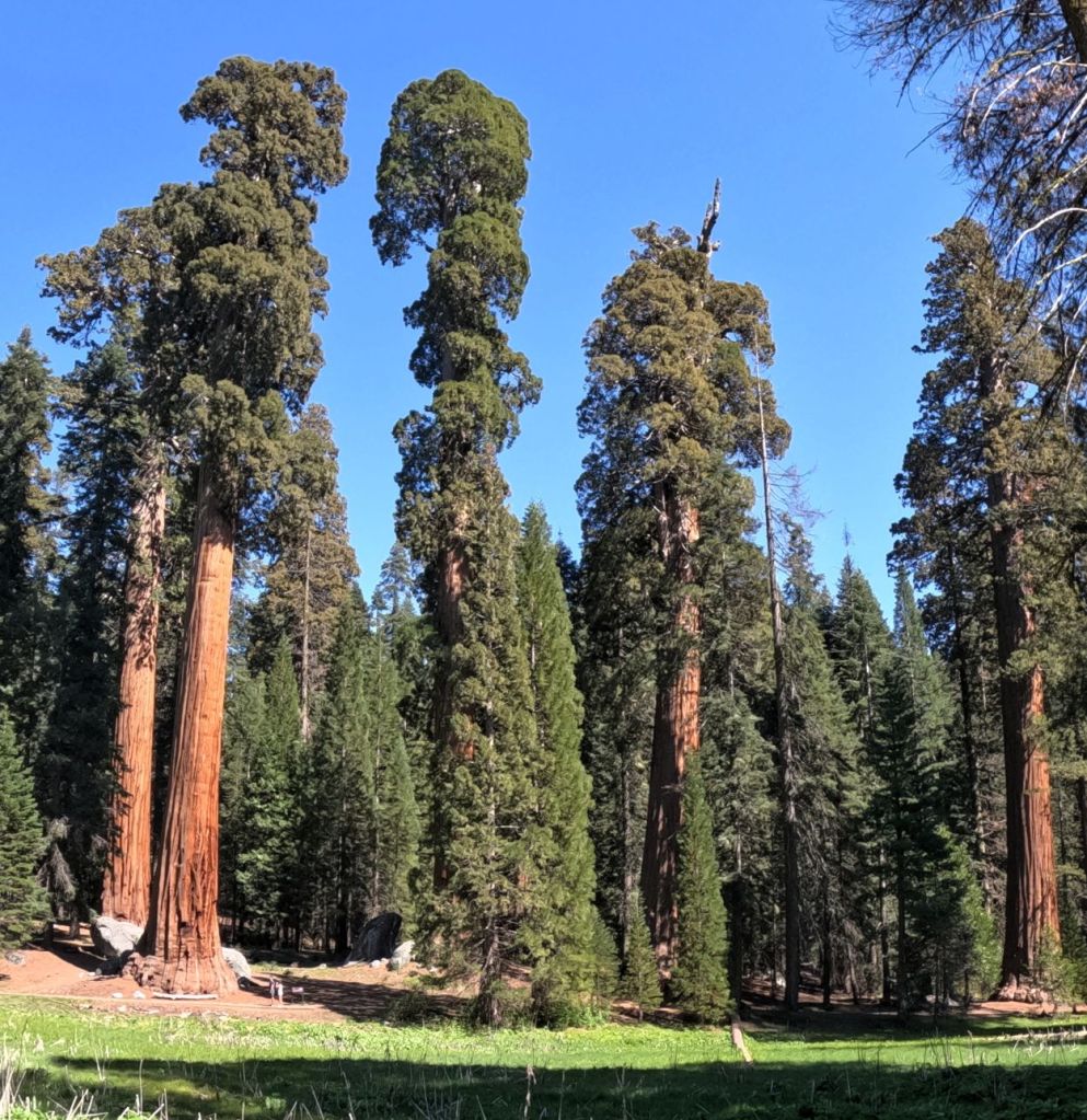
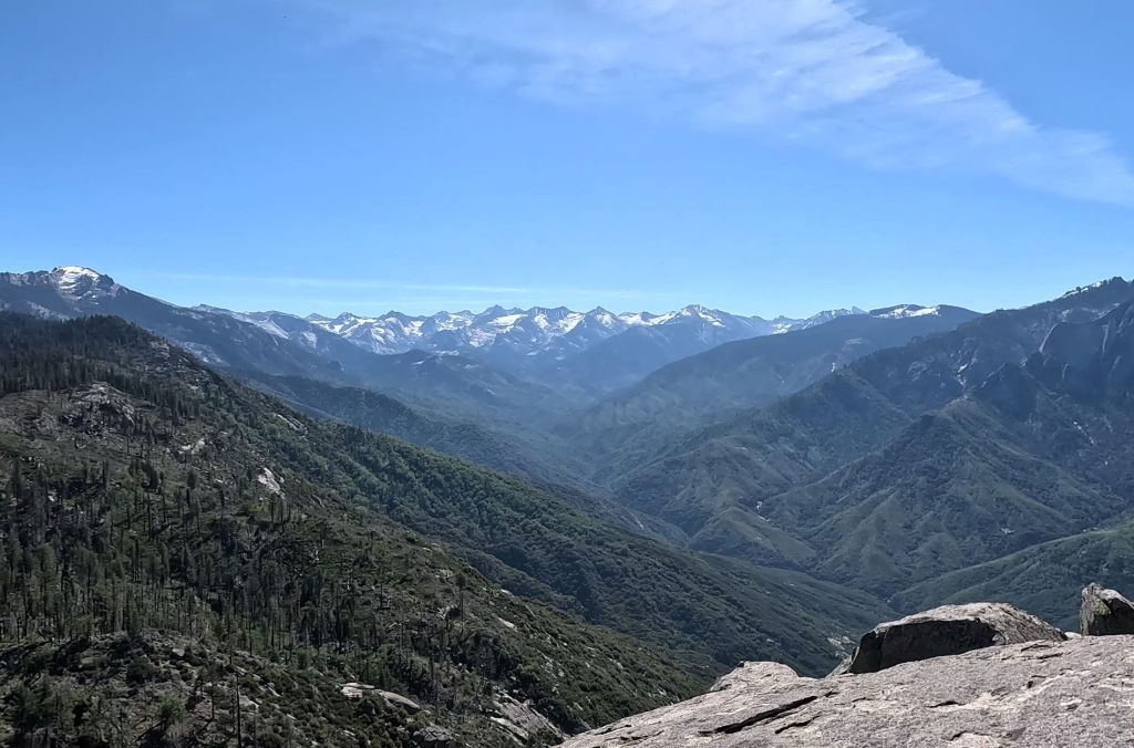
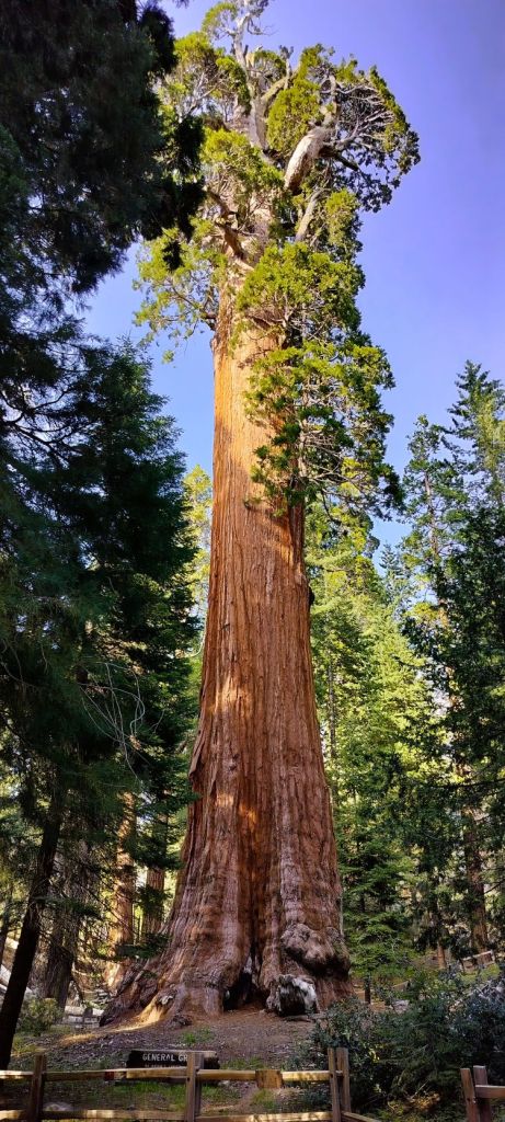
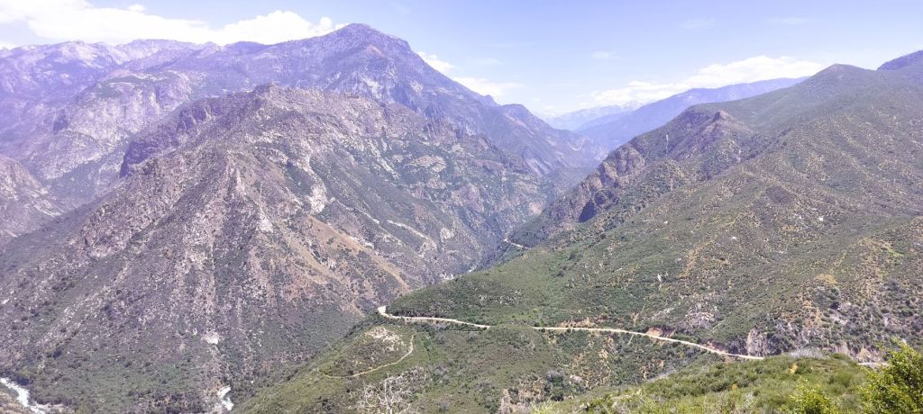
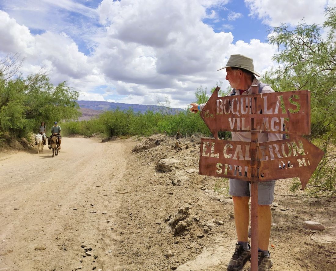
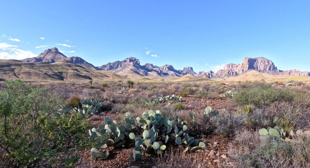
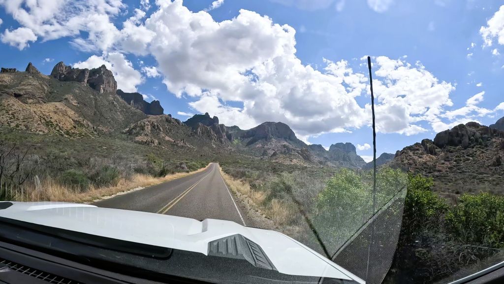
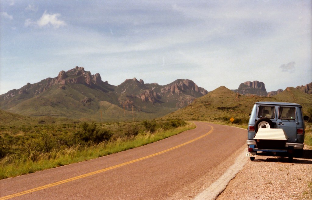
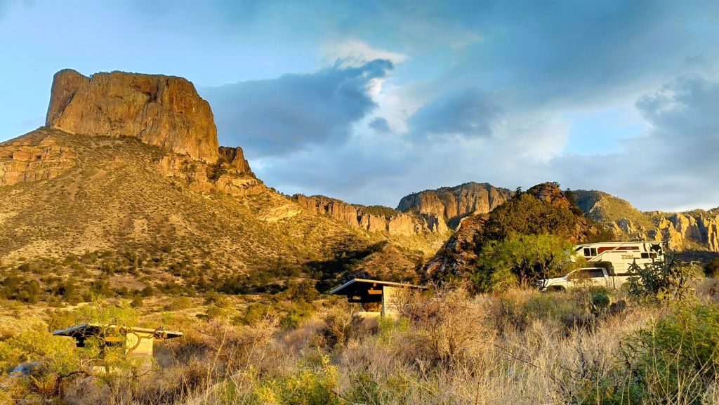
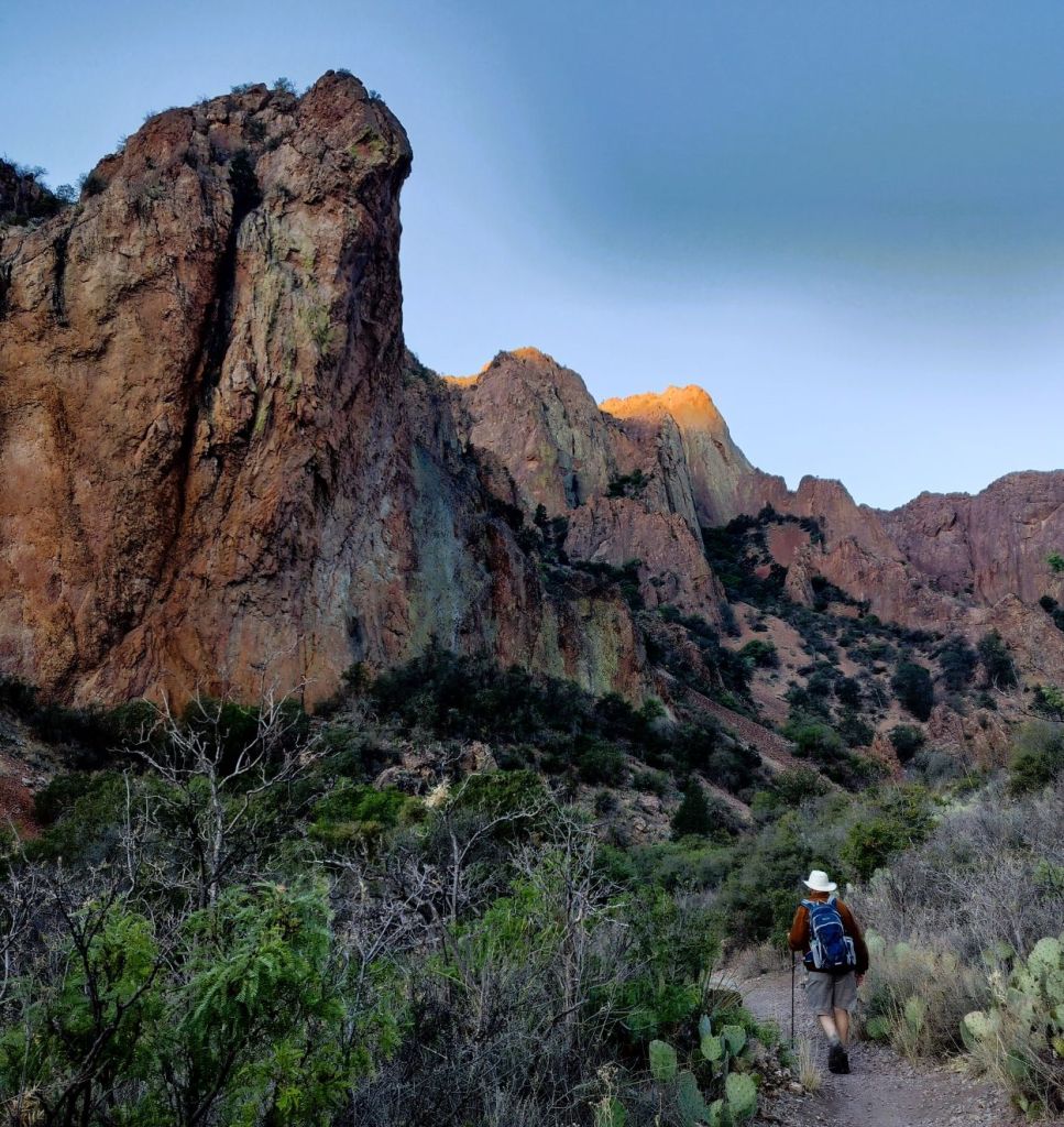
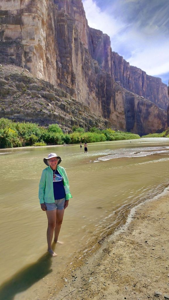
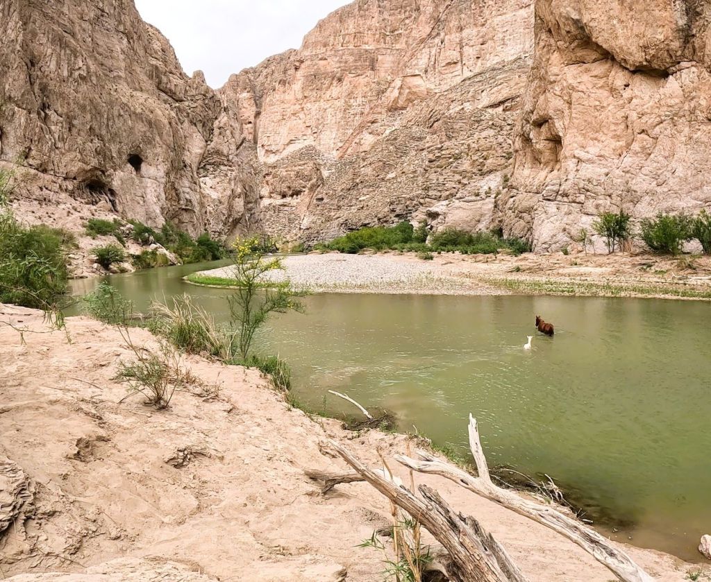
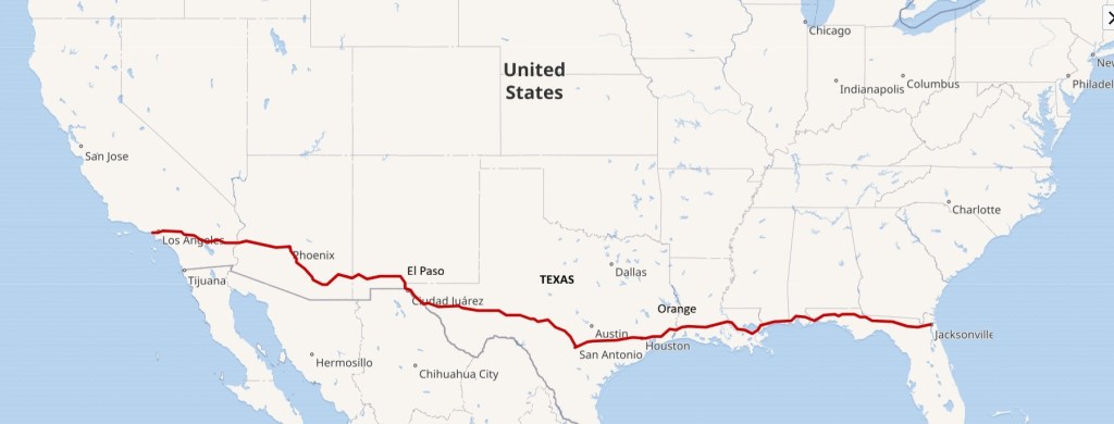
For the Wild West Wander series, BIG ROCKS have included Big Bend, Death Valley, Sequoia and Kings Canyon and Yosemite.
Our next BIG ROCK is Idaho’s Sawtooth Mountains and the Salmon River.
We fill in the gaps between the BIG ROCKS with LITTLE ROCKS.
LITTLE ROCKS are interesting stops and destinations that make our travels more meaningful and fun.
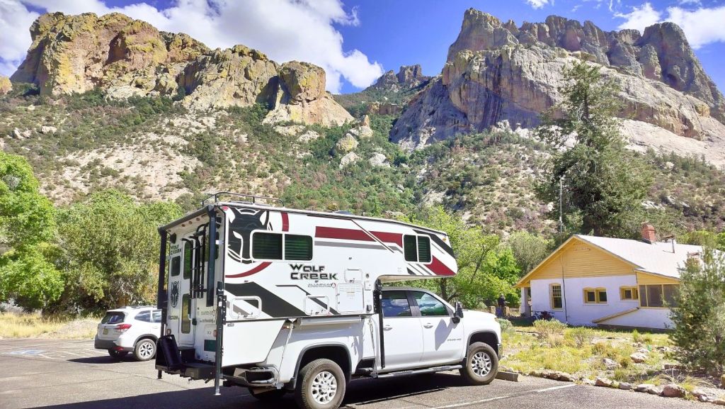
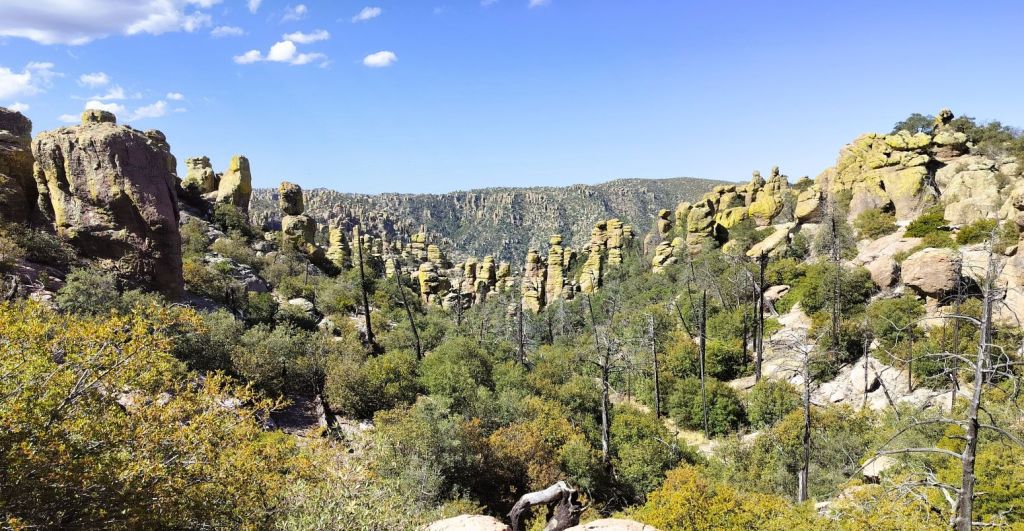
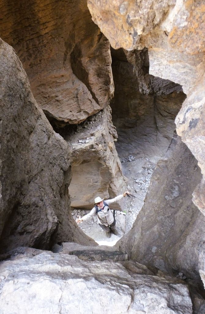
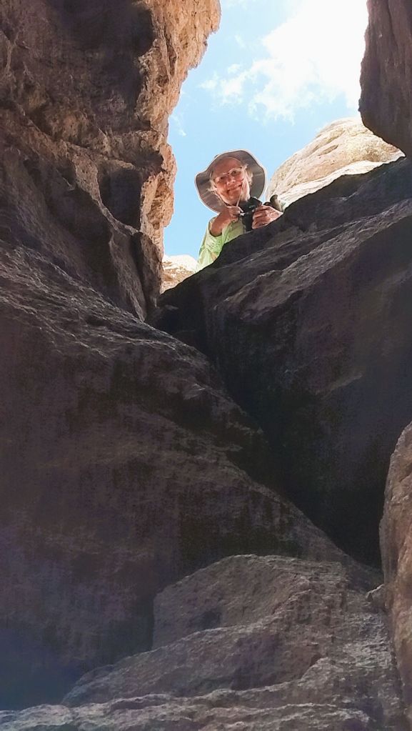
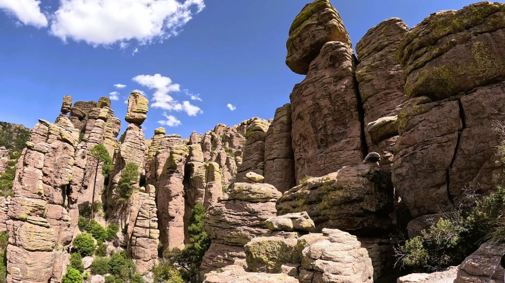
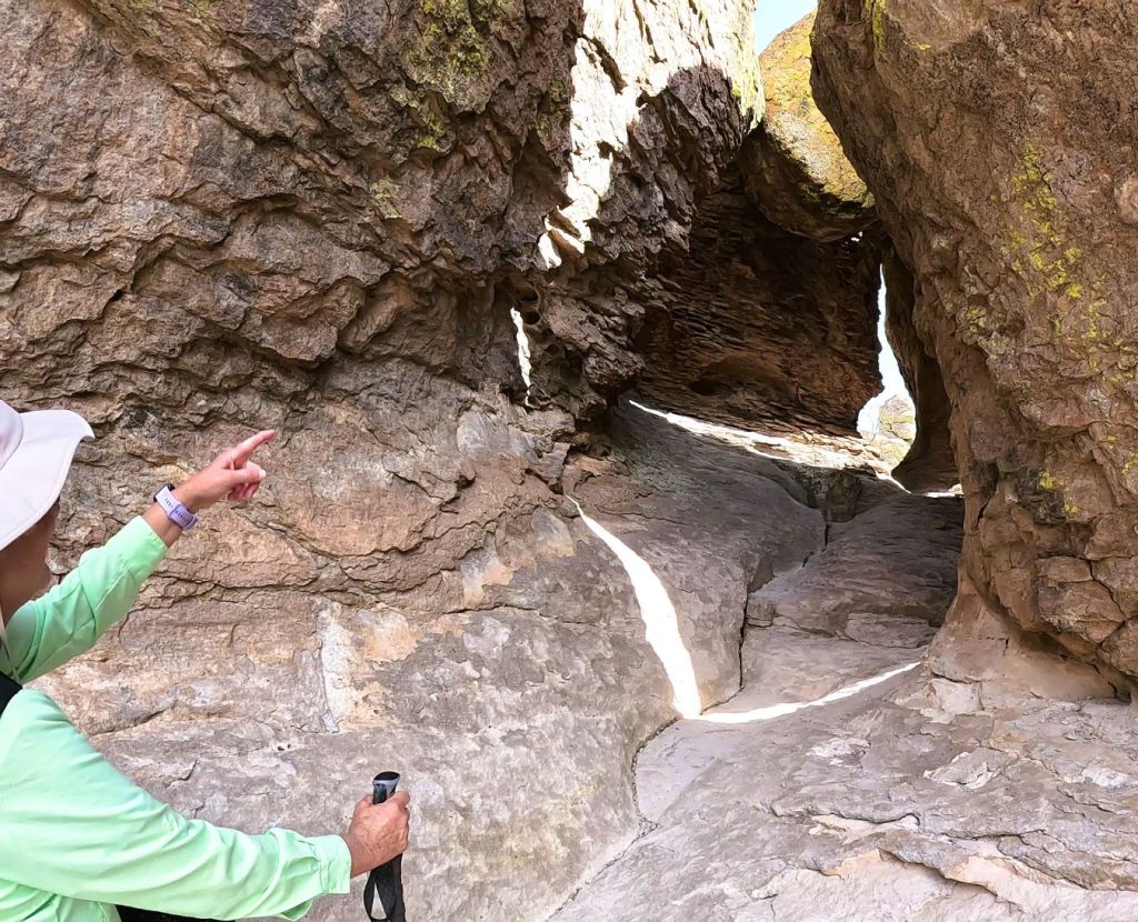
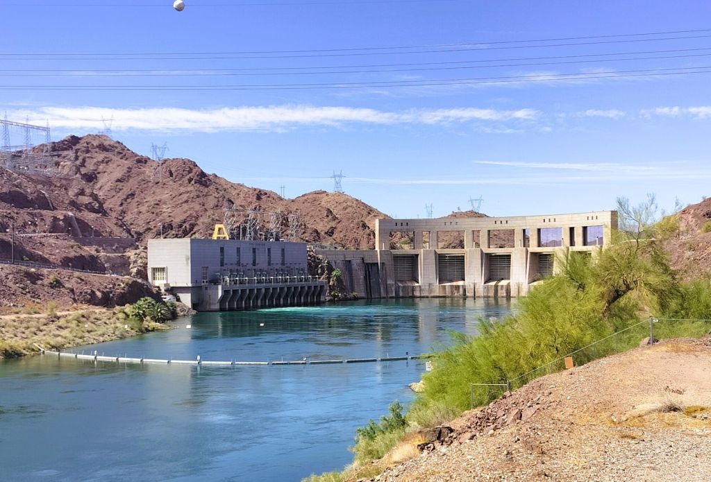
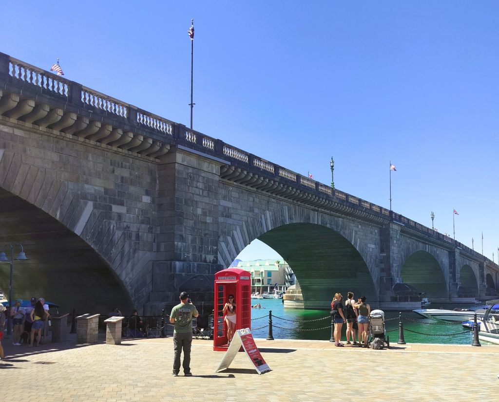
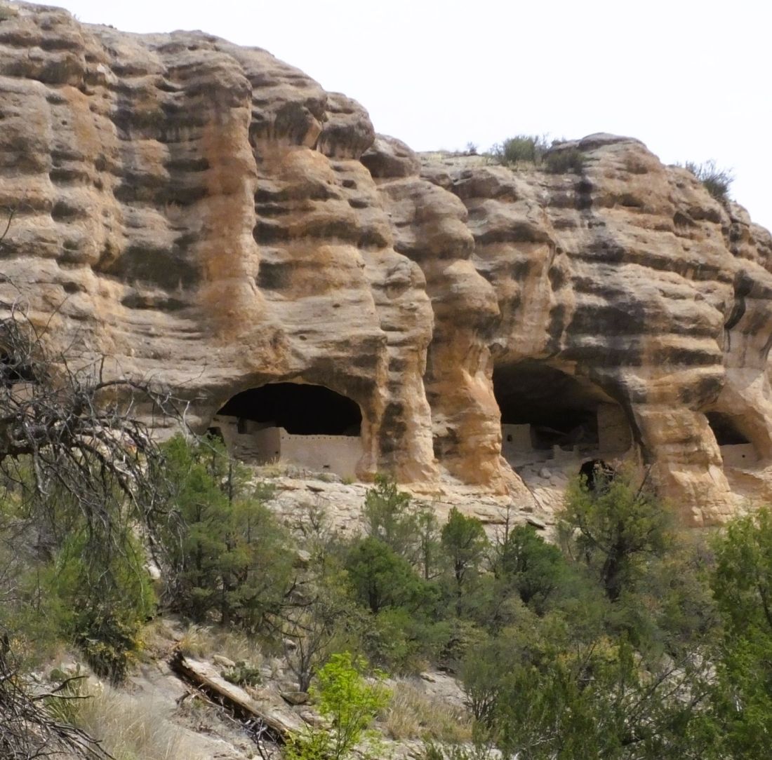
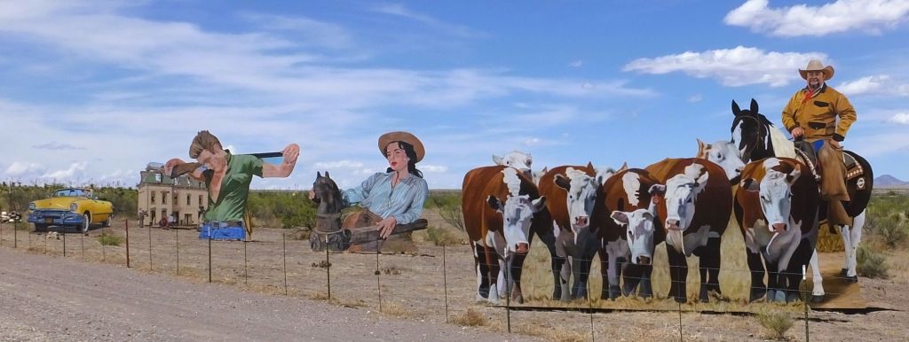
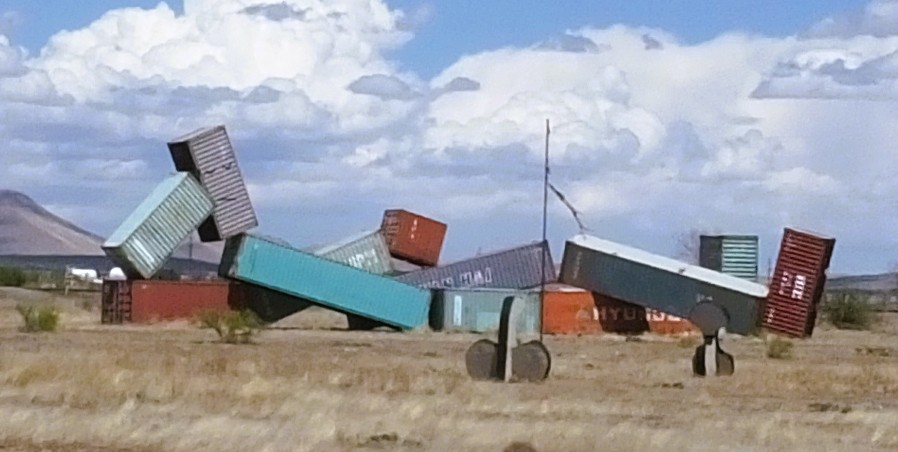
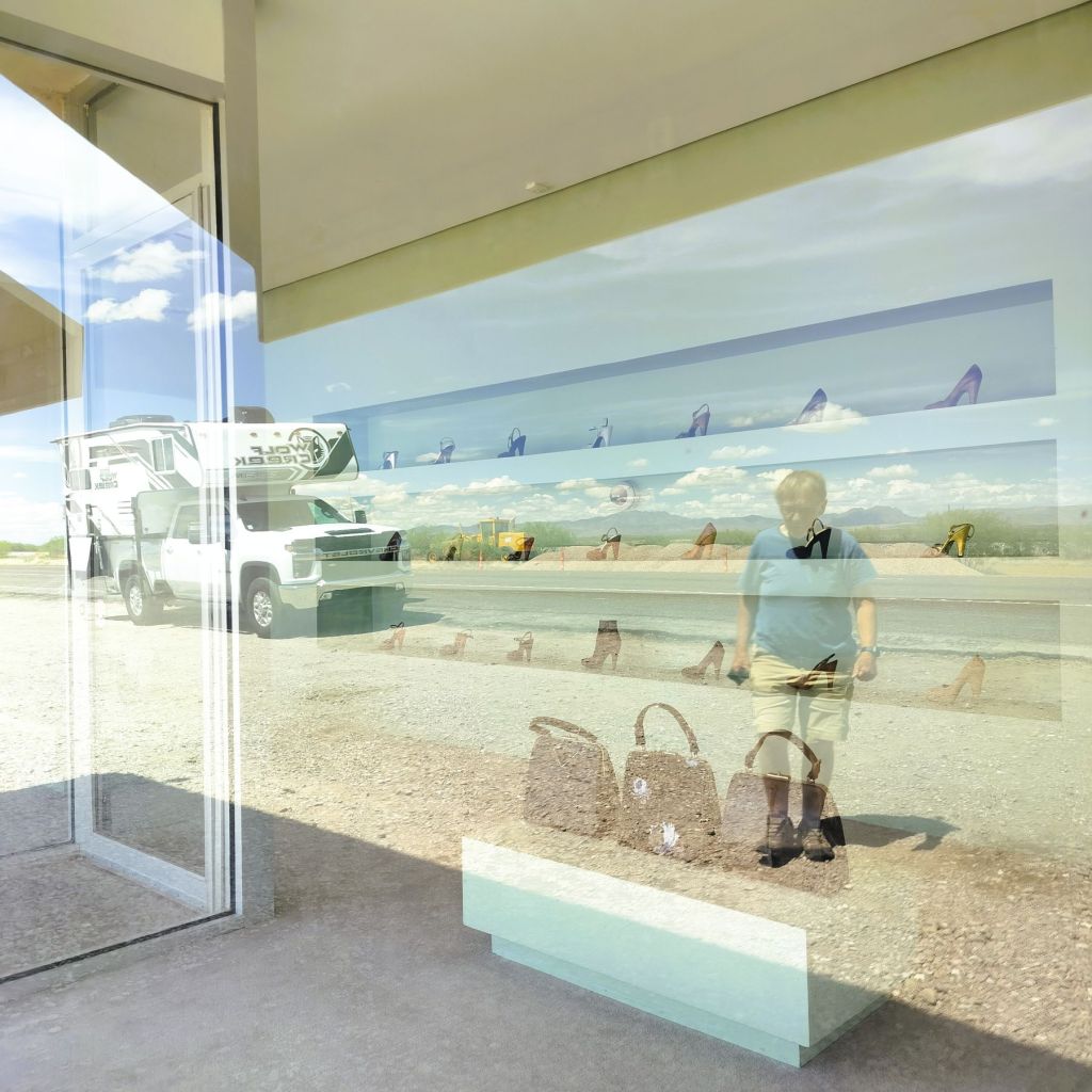
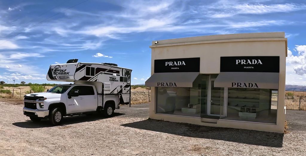
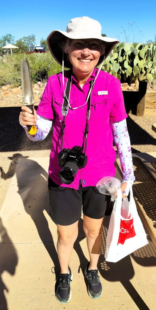
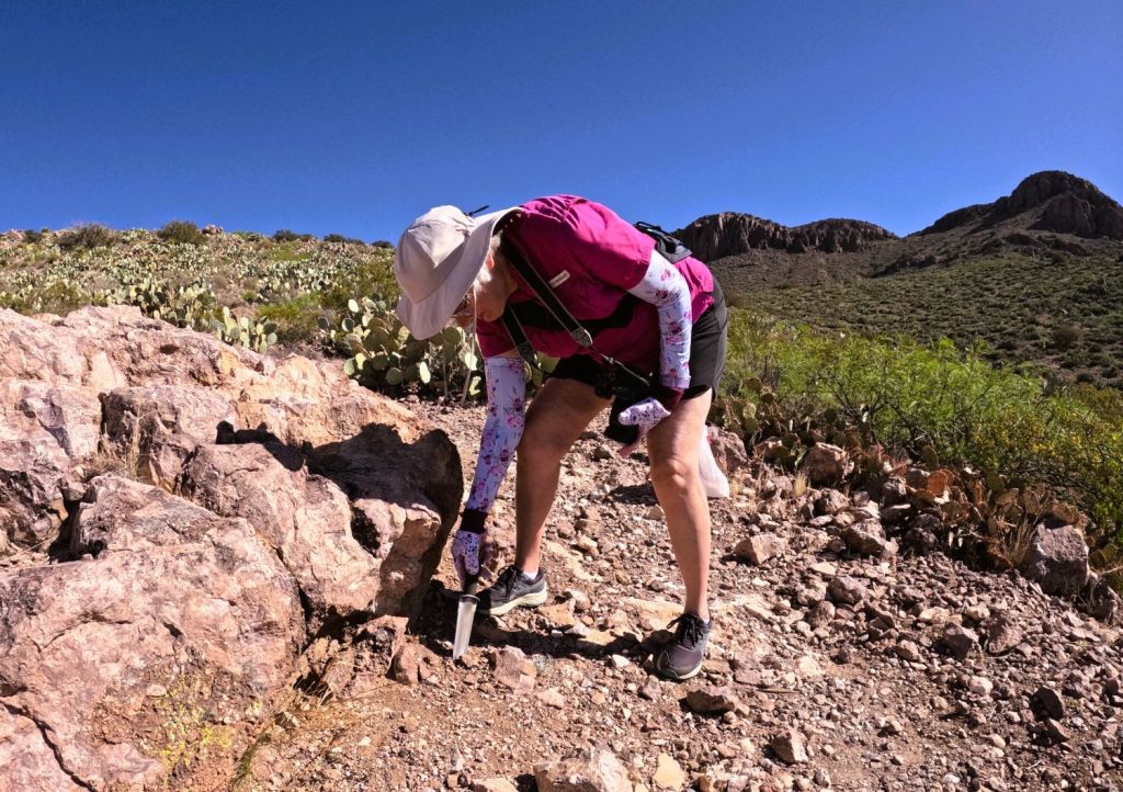
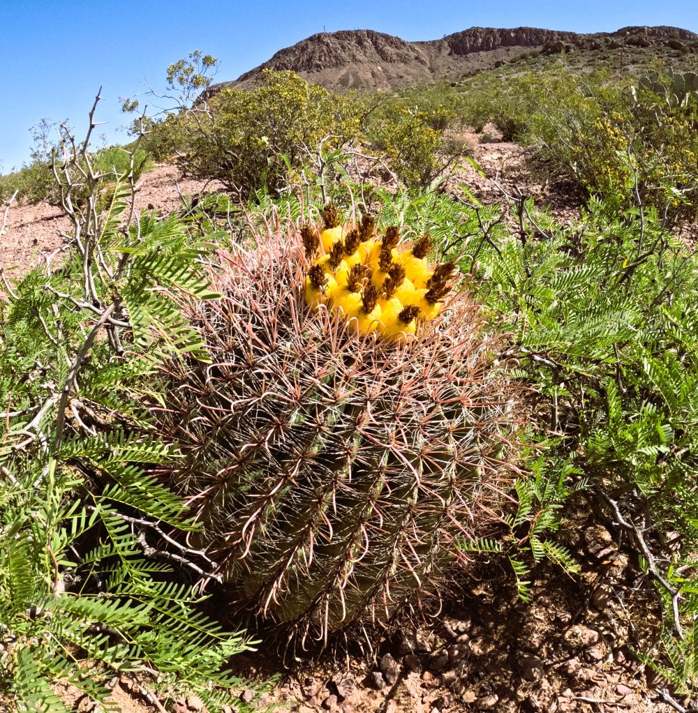
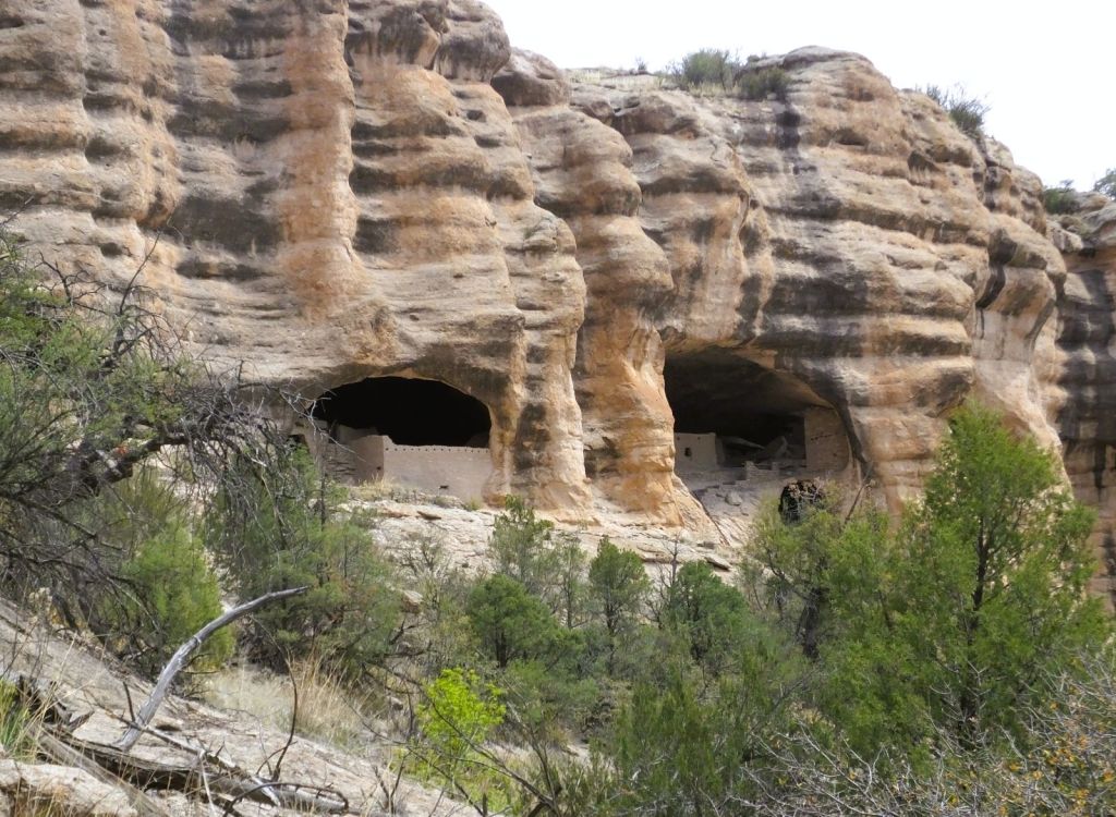
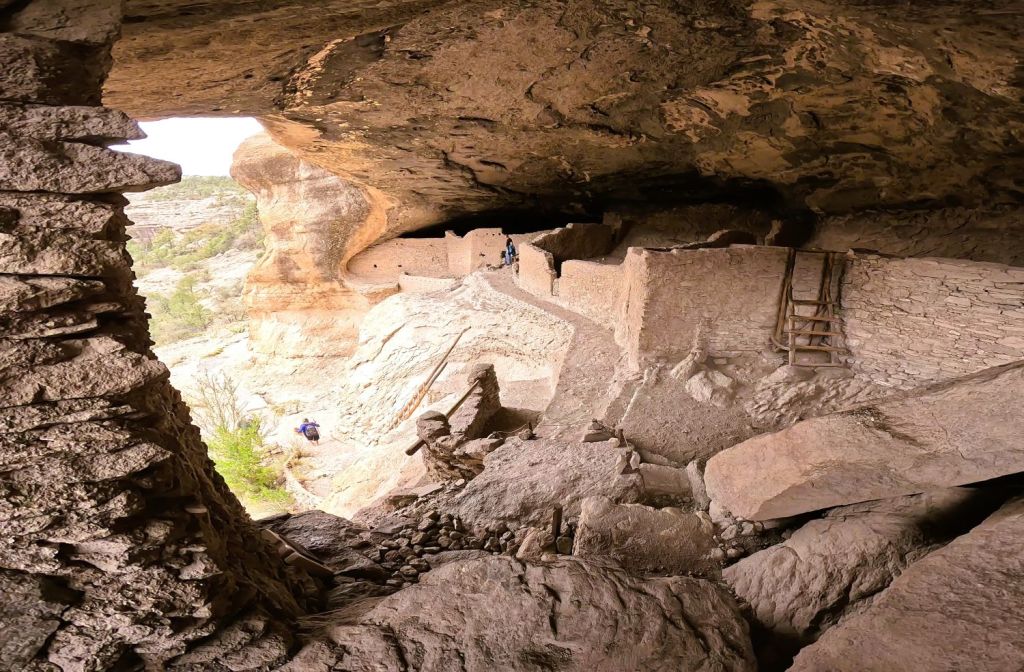
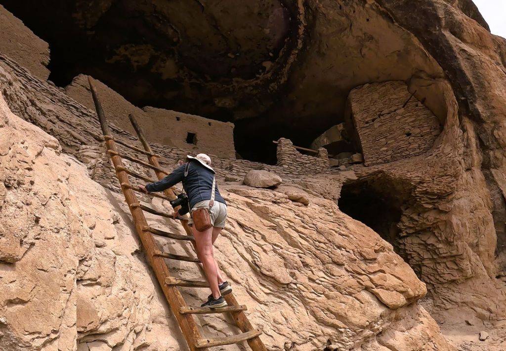
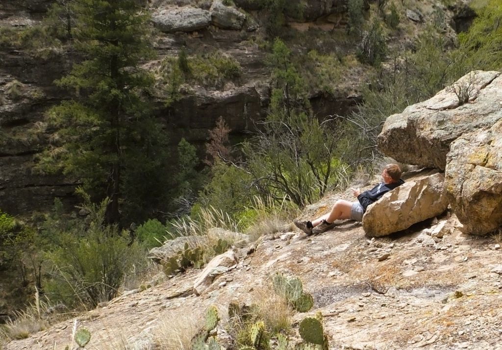
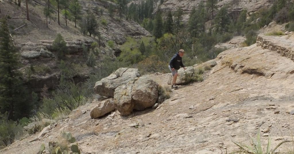
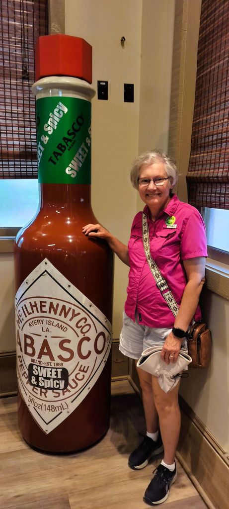
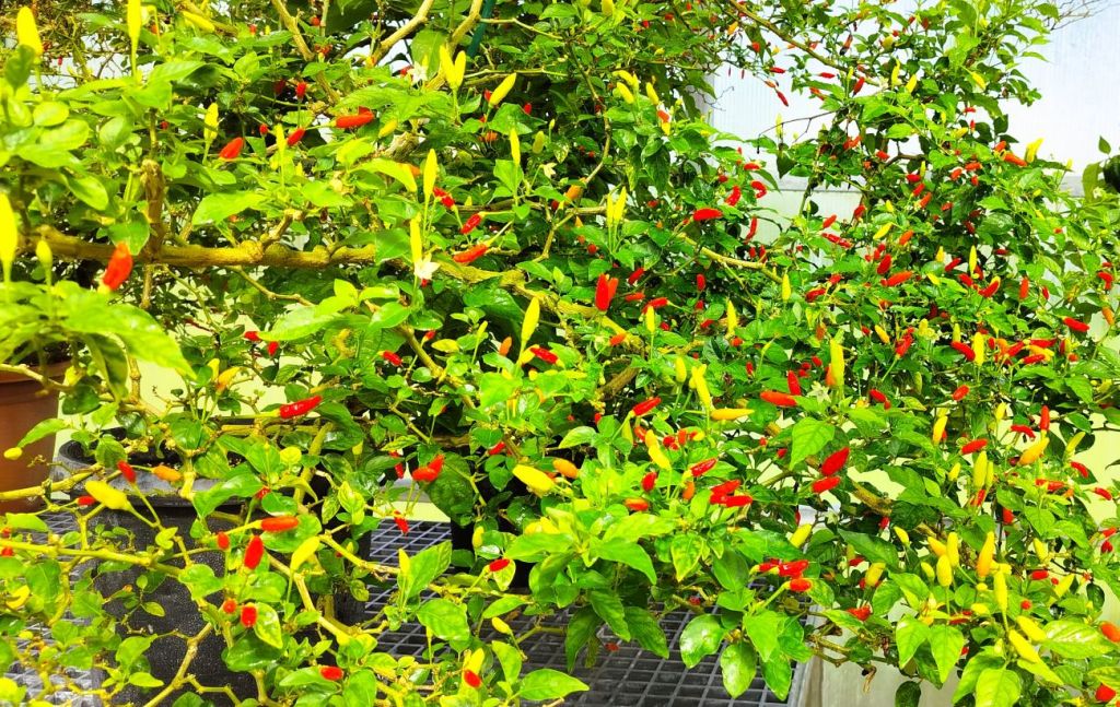
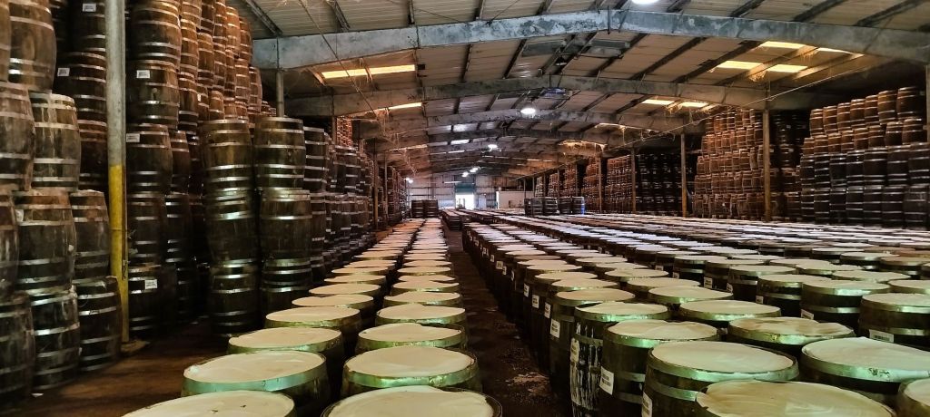
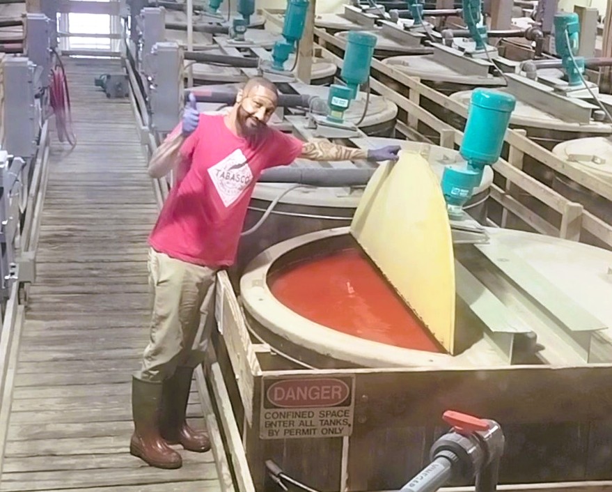
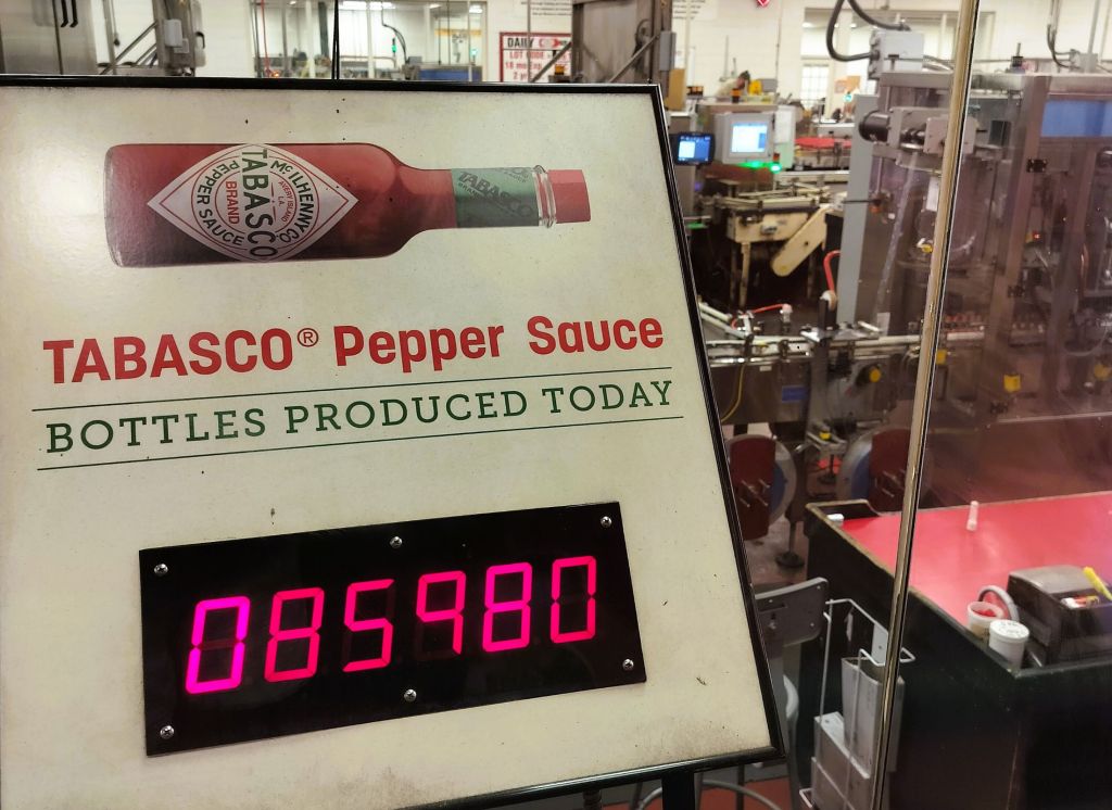
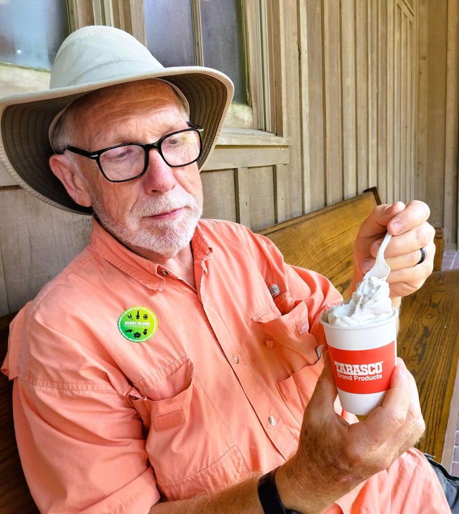
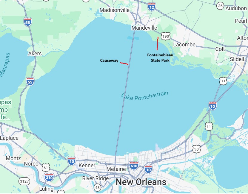
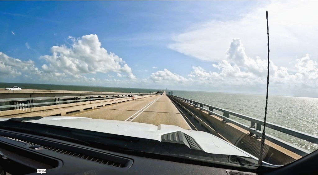
A few of the LITTLE ROCKS in our current series include the Lake Pontchartrain Bridge and home of Tabasco Sauce in Louisiana, Rockhound State Park and Gila Cliff Dwellings in New Mexico, Cave Creek and Chiricahua and Lake Havasu in Arizona. There are lots of other LITTLE ROCKS, of course.
This and next week’s episodes will be about our LITTLE ROCK destinations between Yosemite and Idaho.
Lake Crowley
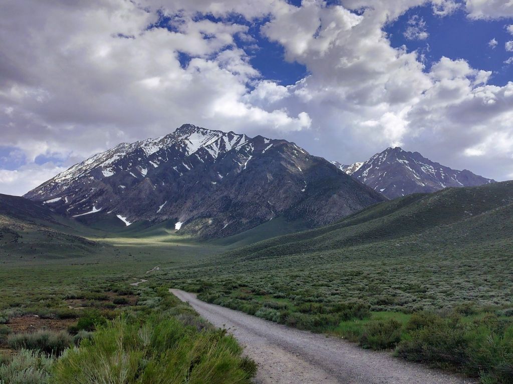
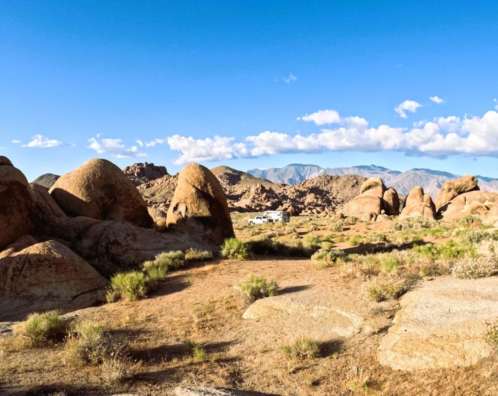
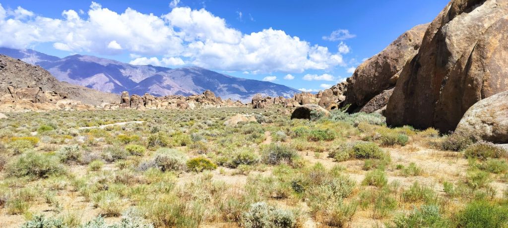
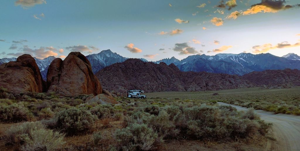
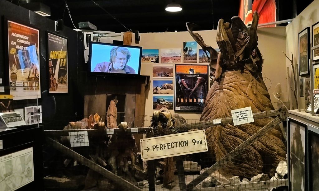
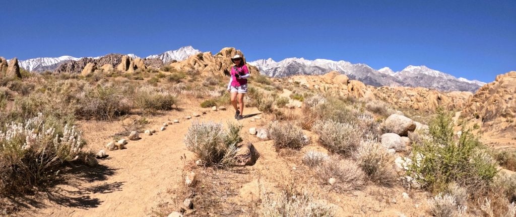
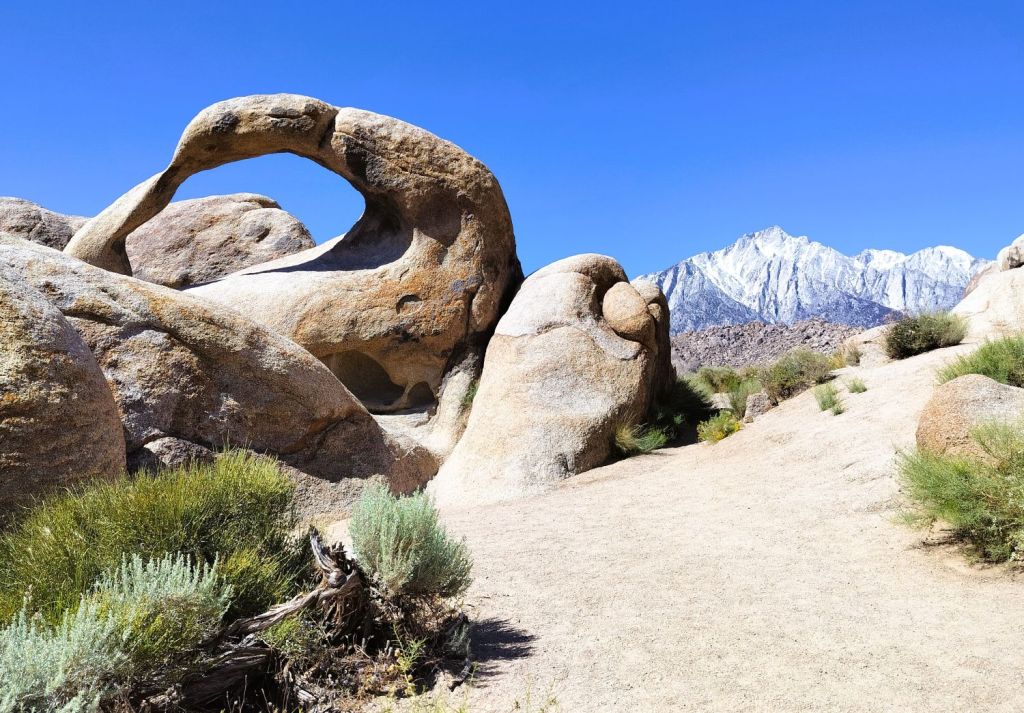
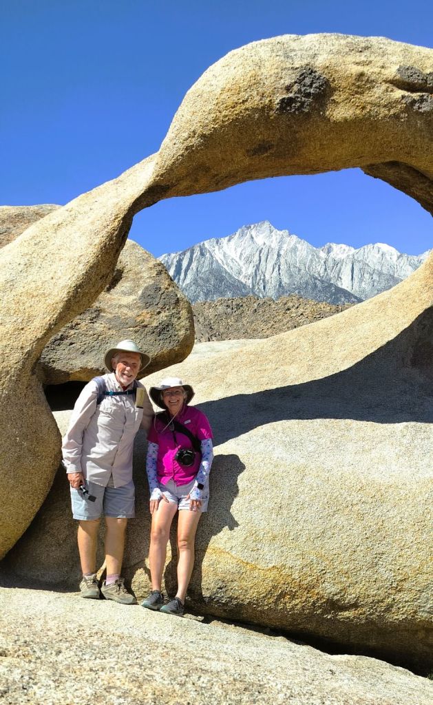
We crossed the Sierra Nevada Mountains via Yosemite’s Tioga Pass and descended to the eastern side of California. Alabama Hills (see Wild West Wander Ep 7) is located a couple hours south and Lake Tahoe is a similar distance to the north.
We camped at a Bureau of Land Management campground that overlooks Crowley Lake. The lake and other water resources in the area supply water to Los Angeles, nearly 300 miles to the south.
There are a number of lakes located at the base of the Sierras including Mammoth Lakes (also a ski area) and June Lake. Both are popular tourist destinations.
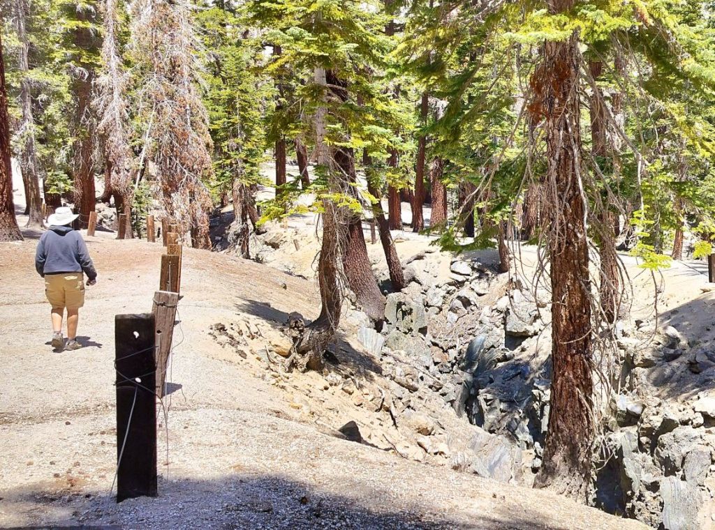
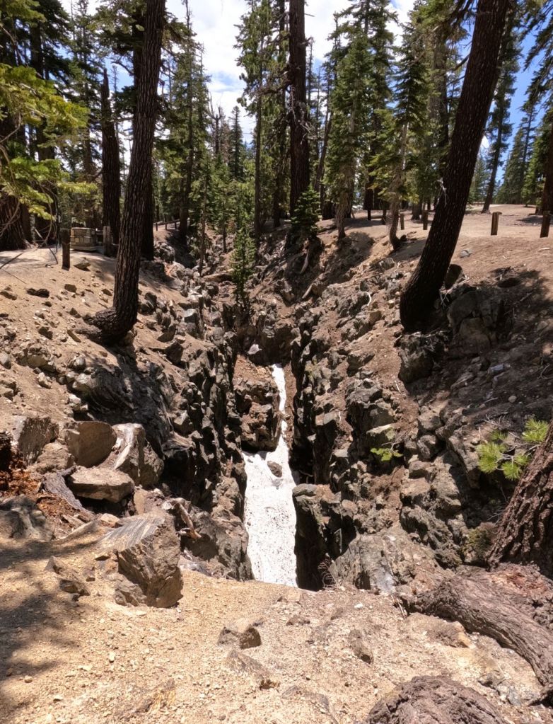
A Crack in the Earth
Near Mammoth Lakes we hiked the short Earthquake Fault Trail. The fault, actually a fissure that cuts through volcanic rock, is 10-20 feet wide, up to 60 feet deep and several hundred yards long. It is believed to have been created around 550-650 years ago when there was a lot of volcanic activity in the area.
The bottom of the fissure stays cool through the summer and was used Native Americans to store food.
The trail follows both sides of the fissure and then crosses via steep steps to the bottom and up the other side. Thank goodness we weren’t swallowed up!
Not Quite Yellowstone
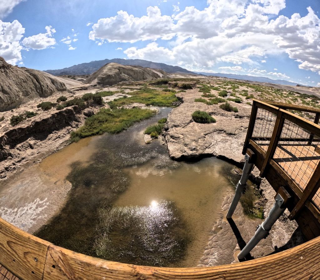
Not far away we visited Hot Creek Geologic Site, an area some call California’s Little Yellowstone.
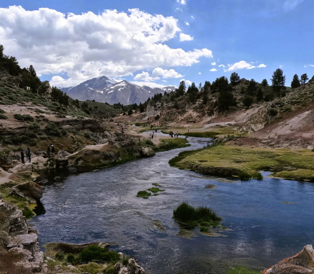
Mammoth Creek, a cold stream fed by snow melt in the Mammoth Lakes area, flows into Hot Creek Gorge where it comes in contact with hot springs and other thermal features, producing aqua pools, bubbling mud pots and clouds of steam. There are even random geysers from time to time, but we didn’t see any in action during our visit.
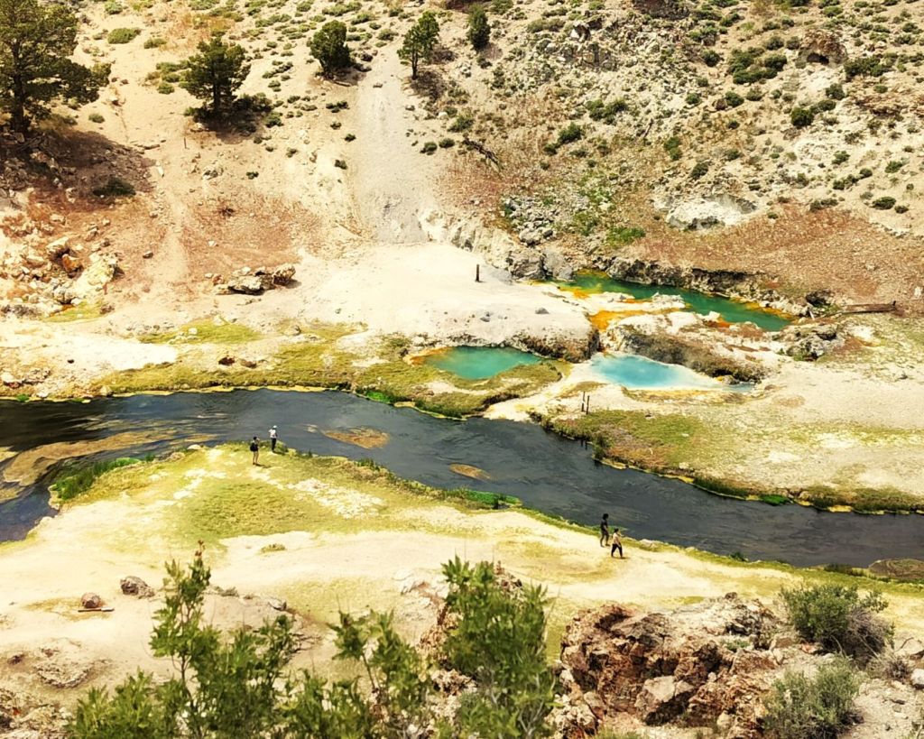
Although Hot Creek is not quite Yellowstone, it is an interesting place to visit none-the-less.
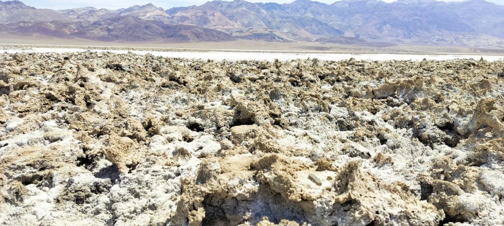
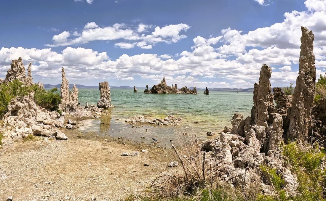
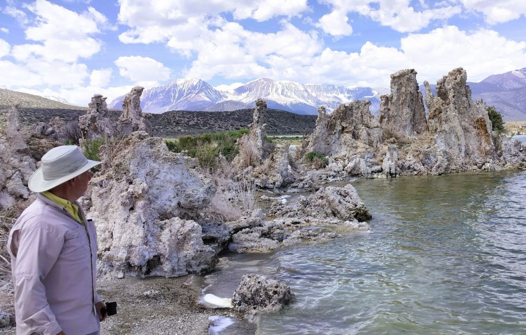
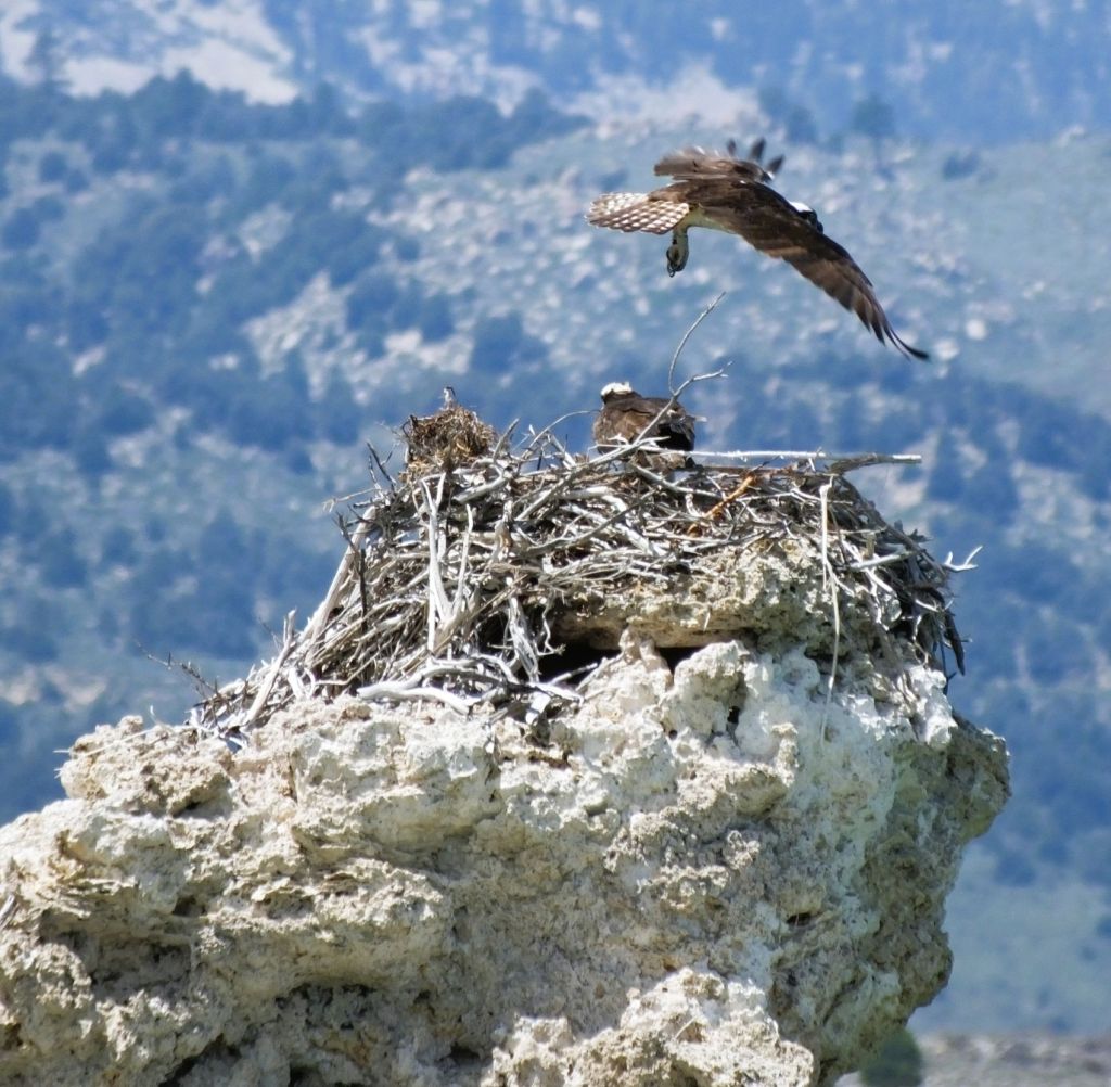
Mono Lake Tufas
We stopped at Mono Lake, a 70-square mile salt lake several miles to the north. The lake, four times as salty as ocean water, has no outlets, similar to Utah’s Great Salt Lake.
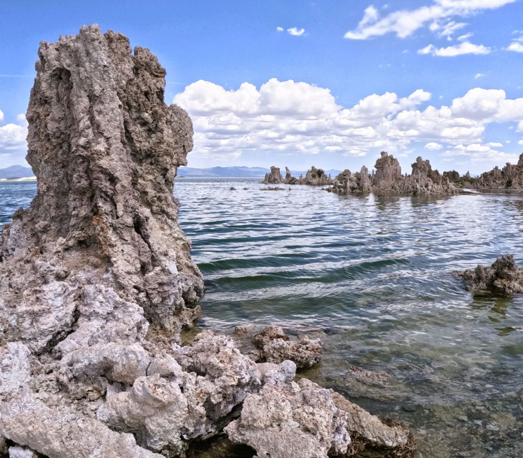
On the lake’s southern shore, we walked among tufas. picturesque limestone spires and columns formed when calcium-laden spring water mixes with alkaline lake water. The resulting calcium carbonate is deposited around the mouth of the spring. Over time a tufa tower gradually forms under the surface of the water.
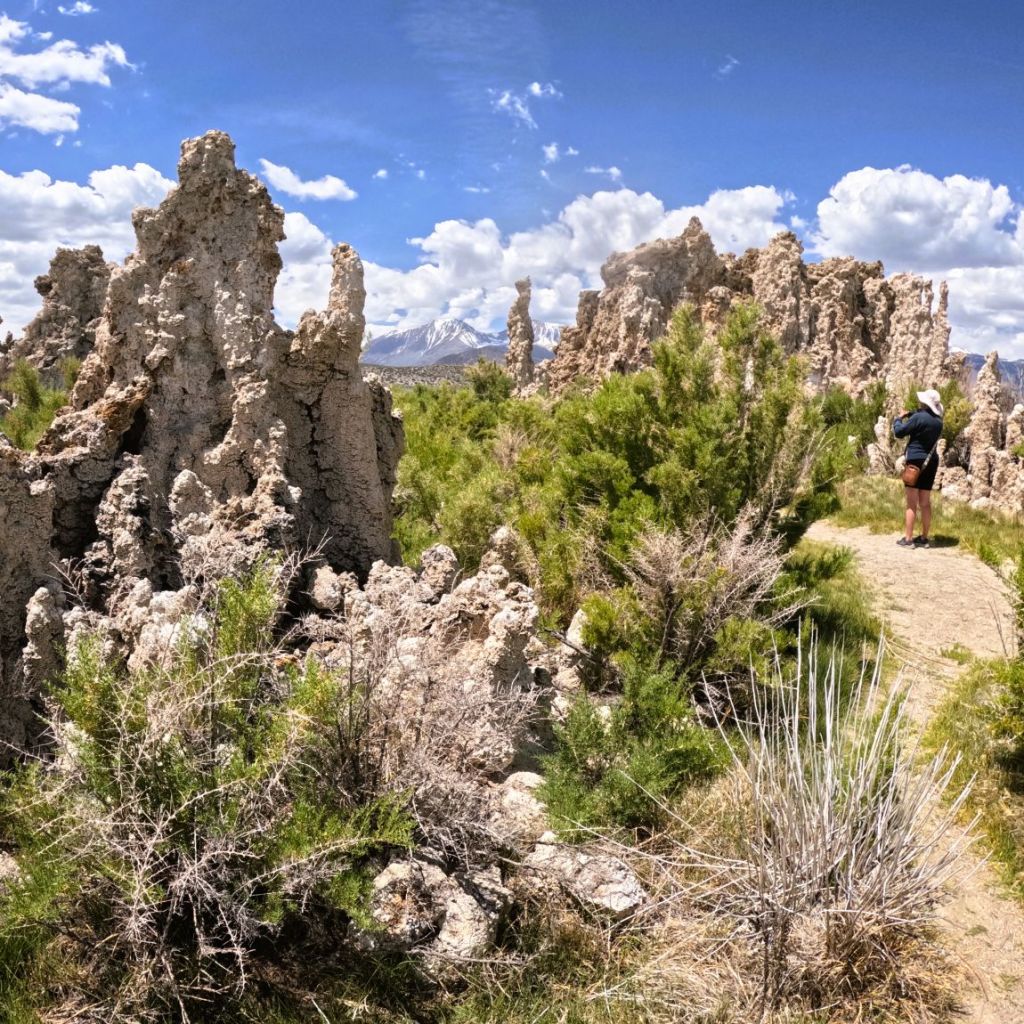
The level of Mono Lake has dropped in recent years exposing many of these other-worldly formations. The fragile tufas stop growing once exposed and are subject to erosion.
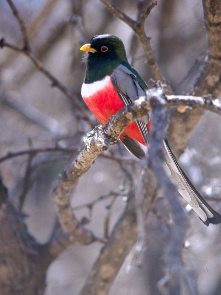
We also saw lots of birds during our visit. Mono Lake is a stopover for millions of migratory birds who feast on the brine shrimp and alkali flies in the lake.
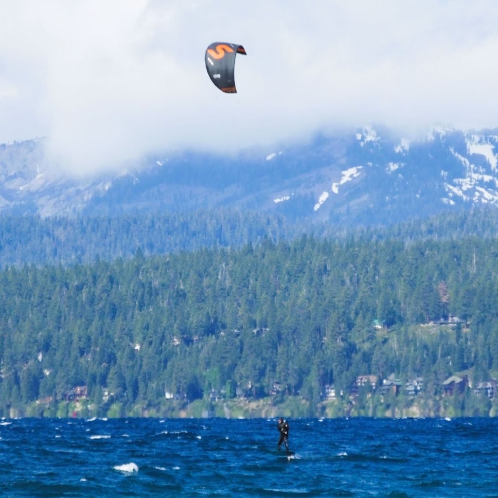
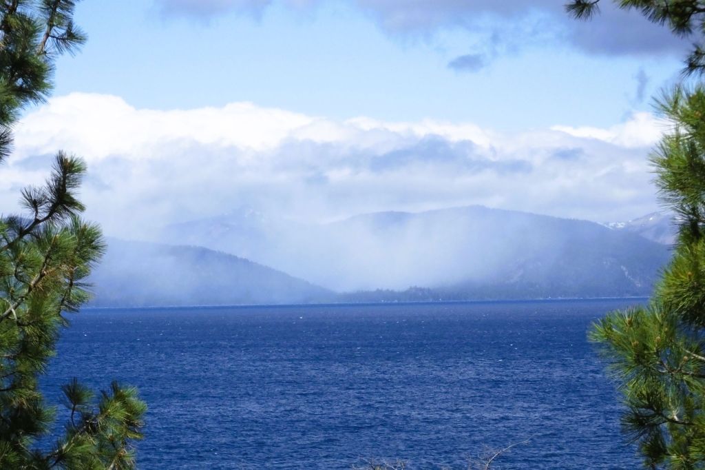
We Abandon Lake Tahoe
A hasty visit to Lake Tahoe is this week’s final LITTLE ROCK.
The lake, about 22 miles long and 12 miles wide, straddles California and Nevada. Tahoe’s deep blue waters are the second deepest in the U.S. Only Crater Lake in Oregon is deeper.
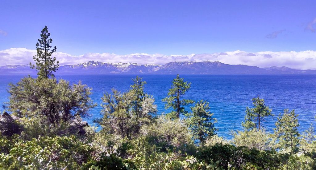
From our campground near Tahoe City on the lake’s west side, we drove clockwise on the 72-mile drive around the lake. We enjoyed views of the magnificent lake and distant snowcapped mountains.
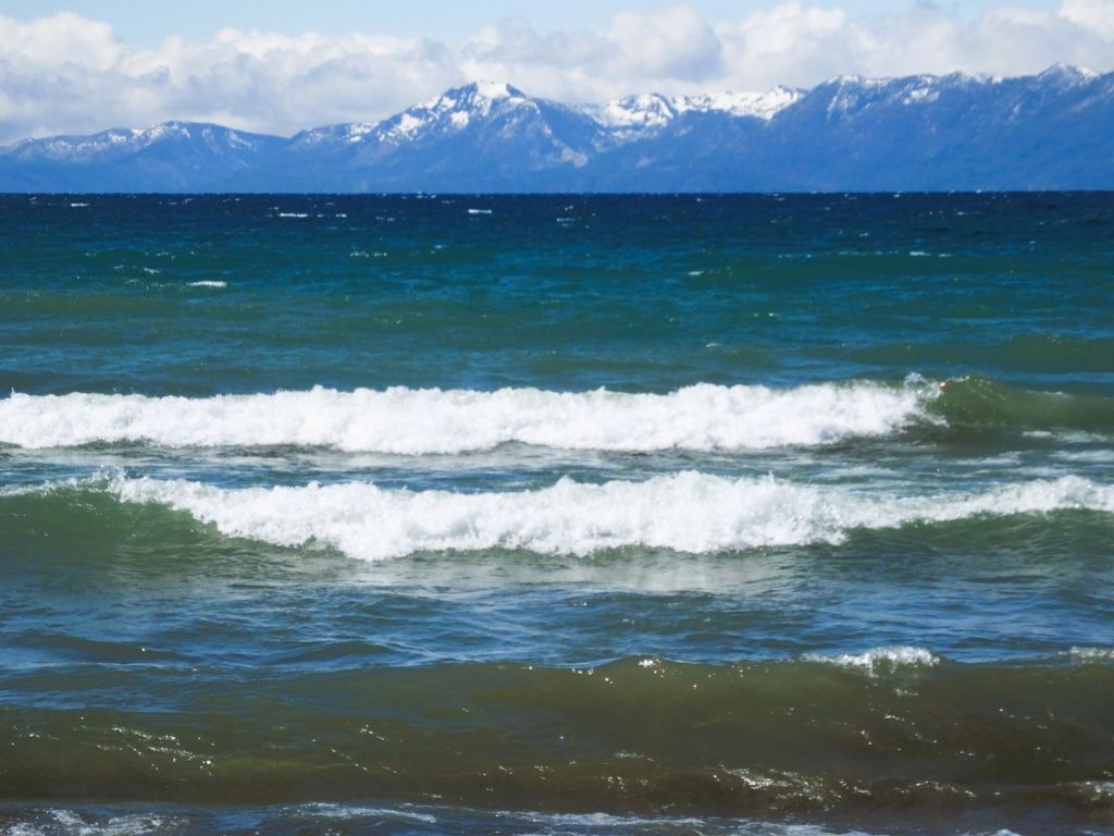
Unfortunately, it was VERY windy and cold, and by the time we neared Emerald Bay, a popular must-see area near our starting point, it started to snow. We returned to our camp cold and wet!
The weather forecast was for freezing temps and more snow.
So, we did what most typical RVers from Florida would do – we left the next morning for someplace warmer north of Sacramento!
Next Week
More LITTLE ROCKS. Our RabbiTRAILS include volcanoes, painted hills, model trains and more!