
Yellowstone – An Amazing Idea!

Featured
(2026 Wild West Wander Ep 14)

Here at the junction of the Firehole and Gibbon Rivers on September 19, 1870, members of the Washburn-Langford-Doane Expedition gathered around a campfire the last evening of their historic exploration of the Yellowstone country and discussed the astounding natural wonders they had seen. There emerged an idea, expressed by Cornelius Hedges, that there should be no private ownership of these wonders but that the area should be preserved for public enjoyment. Others shared these views and on March 1, 1872, President Ulysses S. Grant signed the Act establishing Yellowstone as the world’s first National Park. In the century since, 1200 national parks and equivalent preserves have been established by more than 90 nations. (from a plaque in Yellowstone National Park)

Our wild west wandering continued.

We left Idaho with its nasty goatheads and headed toward Yellowstone National Park.  Although Yellowstone was not in our original travel plans, several last-minute campground cancellations and our flexible truck camper allowed us to spend several days in America’s first national park.

2.4 Million Bricks
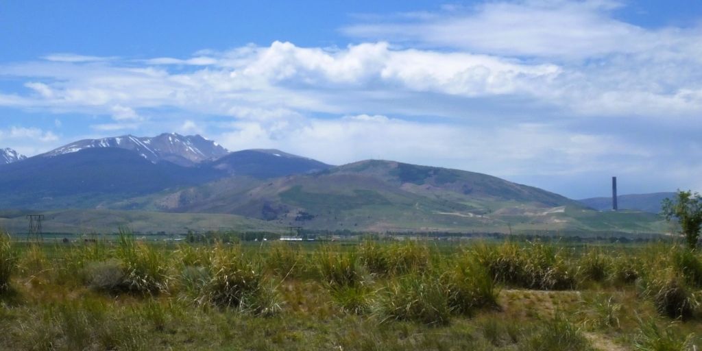
The unusual column on the horizon was used for copper smelting

Pat spotted a very unusual tall column jutting up in front of mountains west of Billings, Montana.  The column was a 585-foot smokestack used by the Anaconda Copper Mining Company from 1919 – 1980.  Nearly as tall one-and-one-half SpaceX Starships and taller than the Washington Monument, the stack contains more than 2.4 million bricks.

A closeup of the 585-foot brick smokestack
Standing in an ore bucket used for copper smelting near the Anaconda smokestack

Summer in Yellowstone = Crowds

That night, we camped just outside Yellowstone National Park in West Yellowstone.  When we entered the park at 7 the next morning, there was a quarter mile line of cars and RVs waiting at the entrance gate.  We learned an important lesson that we would relearn numerous times over the next three days – Yellowstone is unbelievably crowded during the summer months.

This was our sixth visit to Yellowstone.  We never tire of the park’s mountains, valleys, rivers, geysers and thermal areas.  Add to that abundant wildlife – bison, grizzly and black bears, deer, mountain goats, bighorn sheep, wolves and more. It is easy to understand why the park is a major bucket list destination for Americans and international travelers alike.
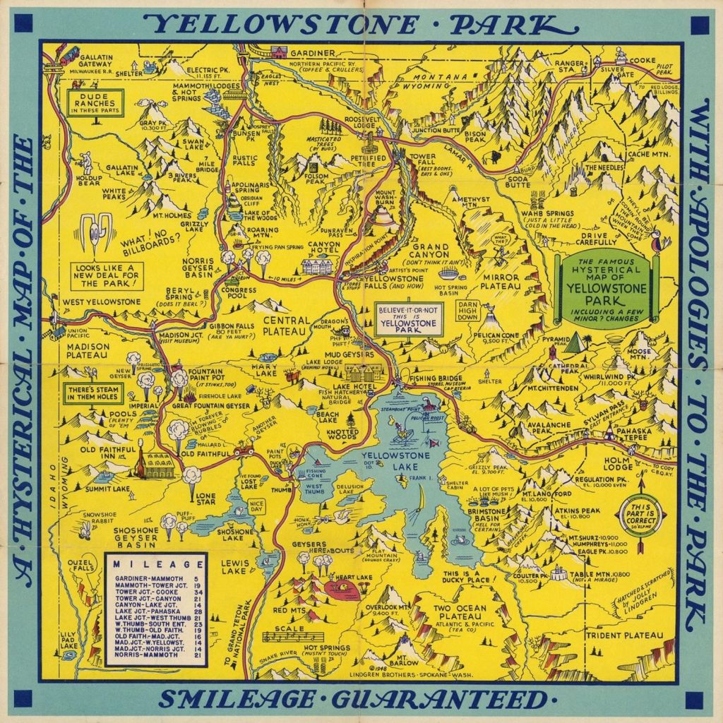
Whimsical map of Yellowstone National Park

Yellowstone is huge – 63 miles north to south and 54 miles east to west.  At 2.2 million acres, it’s larger than Rhode Island and Delaware combined.  We knew we couldn’t see everything in three days, so we decided to visit several parts of the park that we were less familiar with along with some of the favorite places we’ve visited before.

Day 1 – Norris Geyser Basin and Mammoth Hot Springs
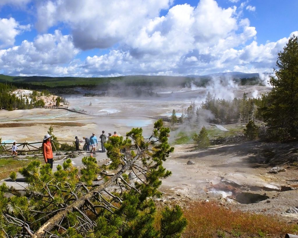
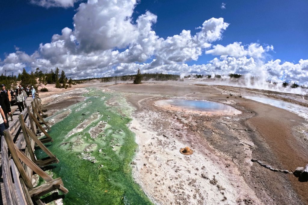
Trails and boardwalks lead to dozens of hot springs, fumaroles and geysers in the Norris Geyser Basin
Hot springs and outflows are colored by bacteria
These colorful mineral hot springs are part of the Porcelain Basin area in Norris
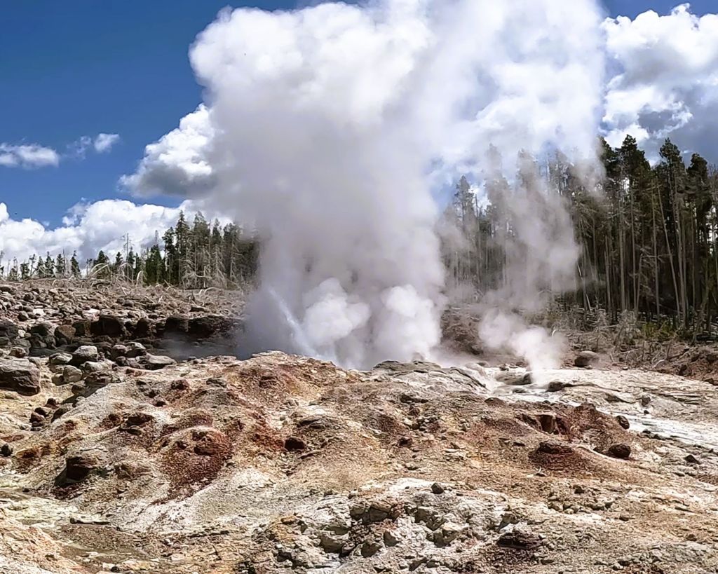
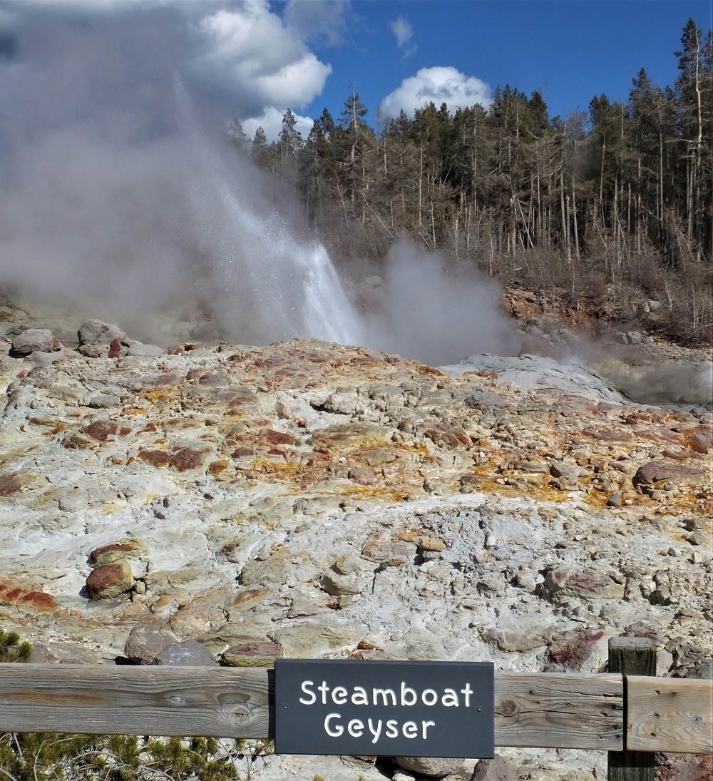
Steamboat Geyser is the world’s tallest active geyser, reaching 300 feet!
Eruptions are unpredictable and infrequent – the last major eruption was on February 27, 2026.
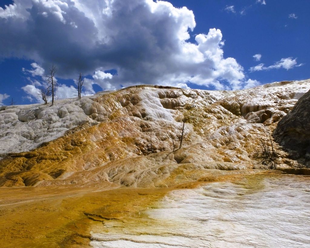
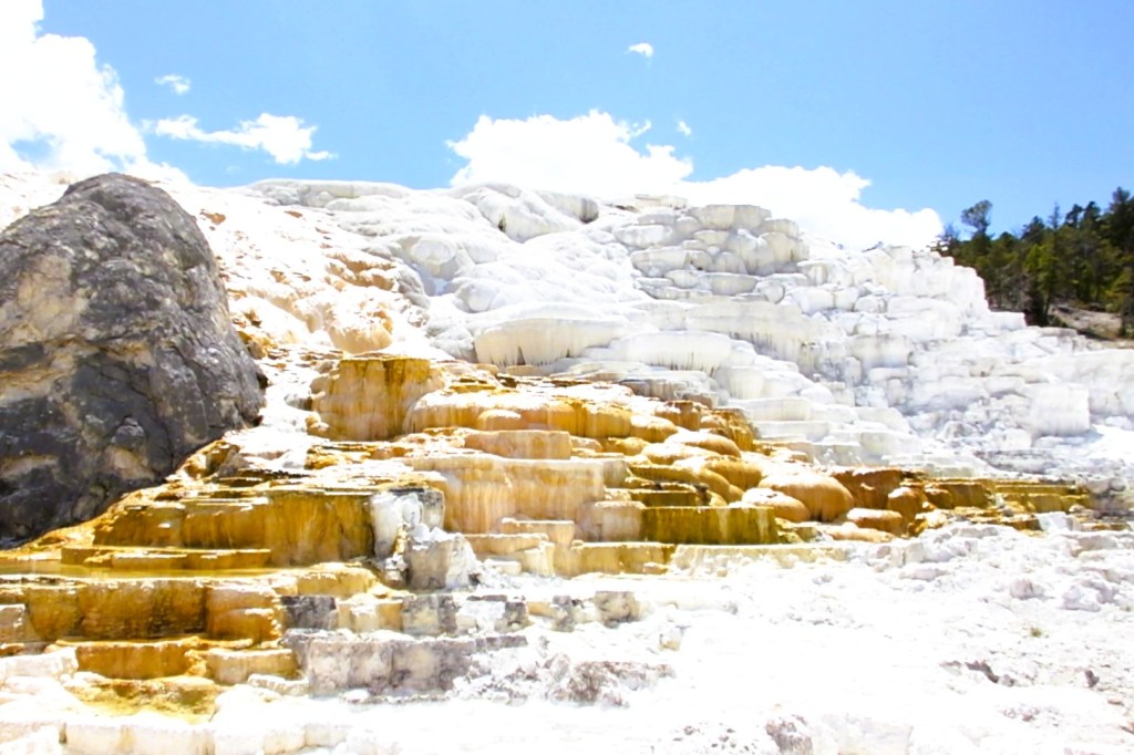
In the northwest corner of Yellowstone, Mammoth Hot Springs is a large area of travertine terraces that are continually changing
We hiked a short trail for another view of Mammoth Hot Springs

Day 2 – Old Faithful, Grand Prismatic Spring, Fairy Falls
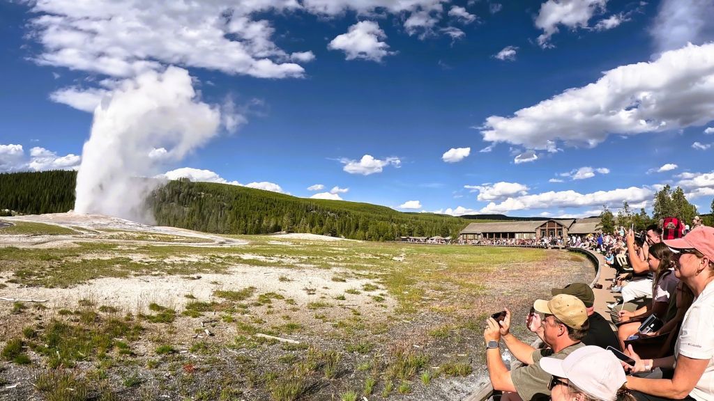
Hundreds of people gather for Old Faithful’s eruption (approximately) every hour
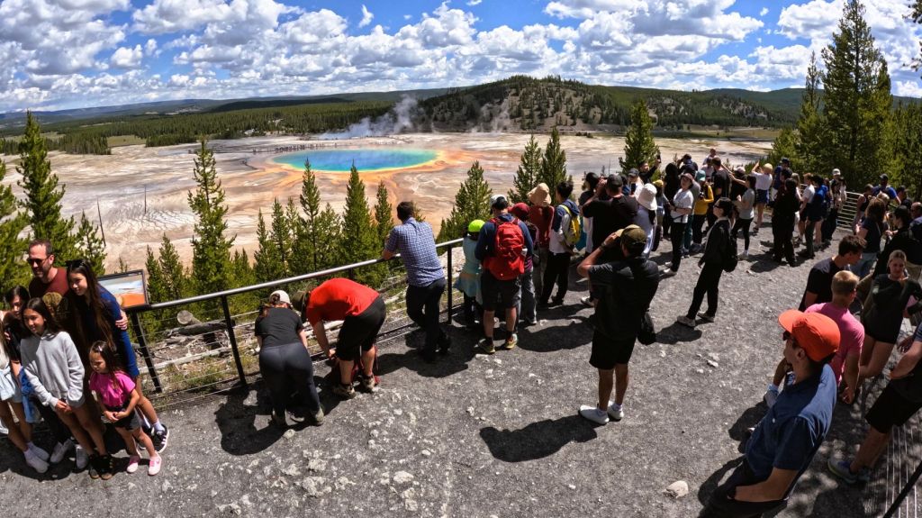
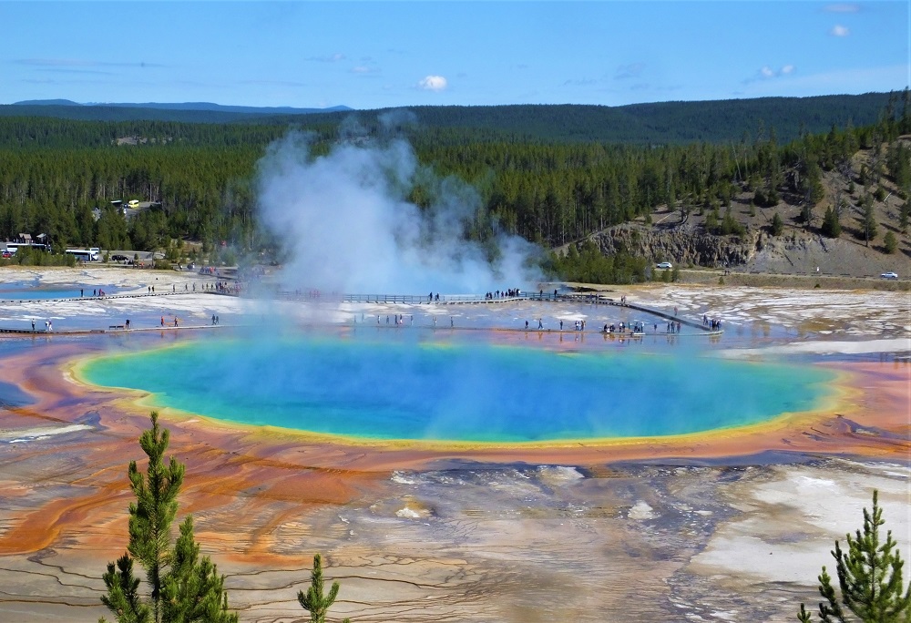
Colorful Grand Prismatic Spring
A short hike leads to an elevated view of the spring; the trail and viewpoint was crowded
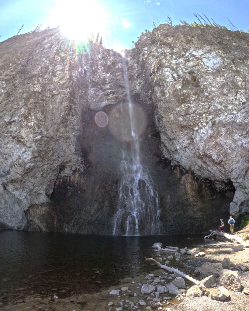
Our first hike to Fairy Falls didn’t disappoint
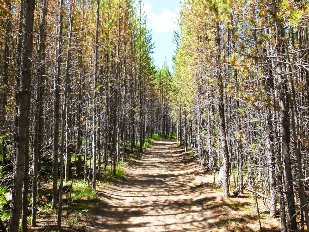
Trees along the Fairy Falls Trail have regrown since the devastating Yellowstone fires in 1988; it is hard to pass through some areas of dense regrowth

Day 3 – Mud Geyser, Hayden Valley, Yellowstone River, Yellowstone Falls

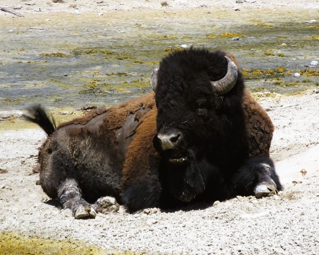
Several bison were lounging around the thermal lakes in the Mud Volcano area
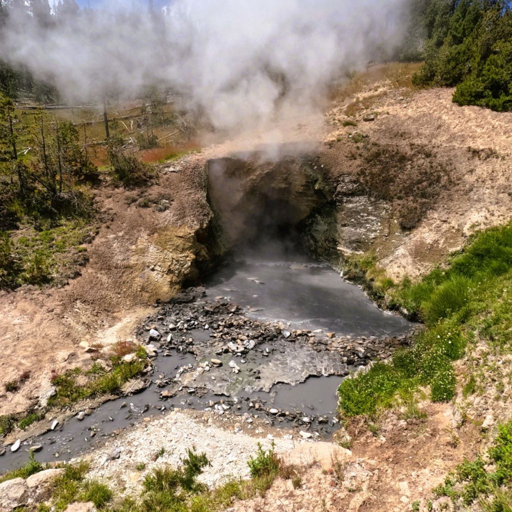
The Dragon’s Mouth Spring roared as it belched sulfurous clouds of steam
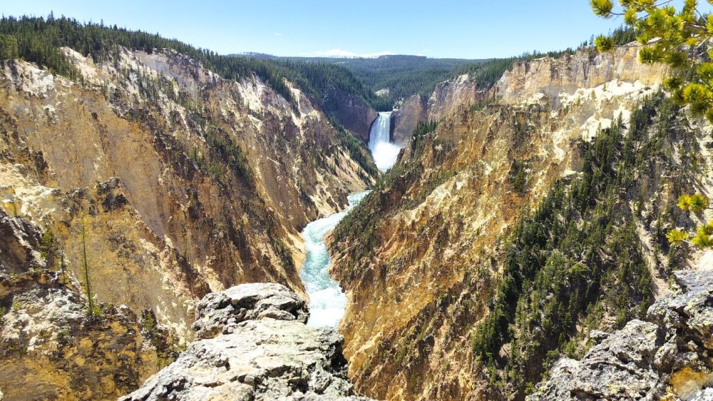
Iconic view of Yellowstone Falls and the Grand Canyon of the Yellowstone from Artist Point – the viewing area was VERY crowded
We hiked down 600 feet to the brink of the 308-foot Lower Yellowstone Falls
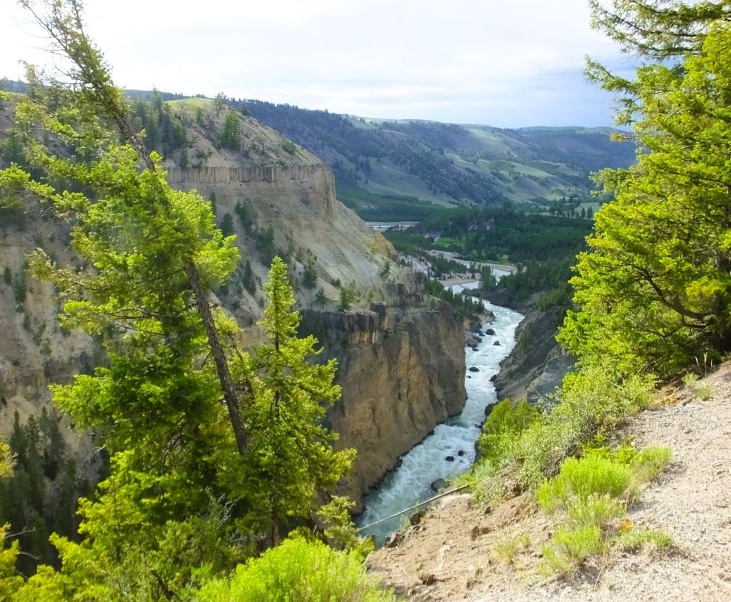
Big horn sheep and eagles are often seen along this portion of the Yellowstone River

On our last morning, we drove through the Lamar Valley in the northeast corner of Yellowstone.  The bison must have been having a convention – from the highway we saw several herds, each with dozens of the majestic animals. 

Bison dot the landscape in Yellowstone’s Lamar Valley

Goats and a Grizzly

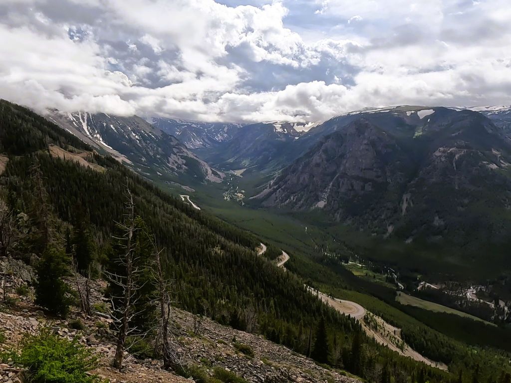
View of the Beartooth Highway as it zig-zags to the valley far below
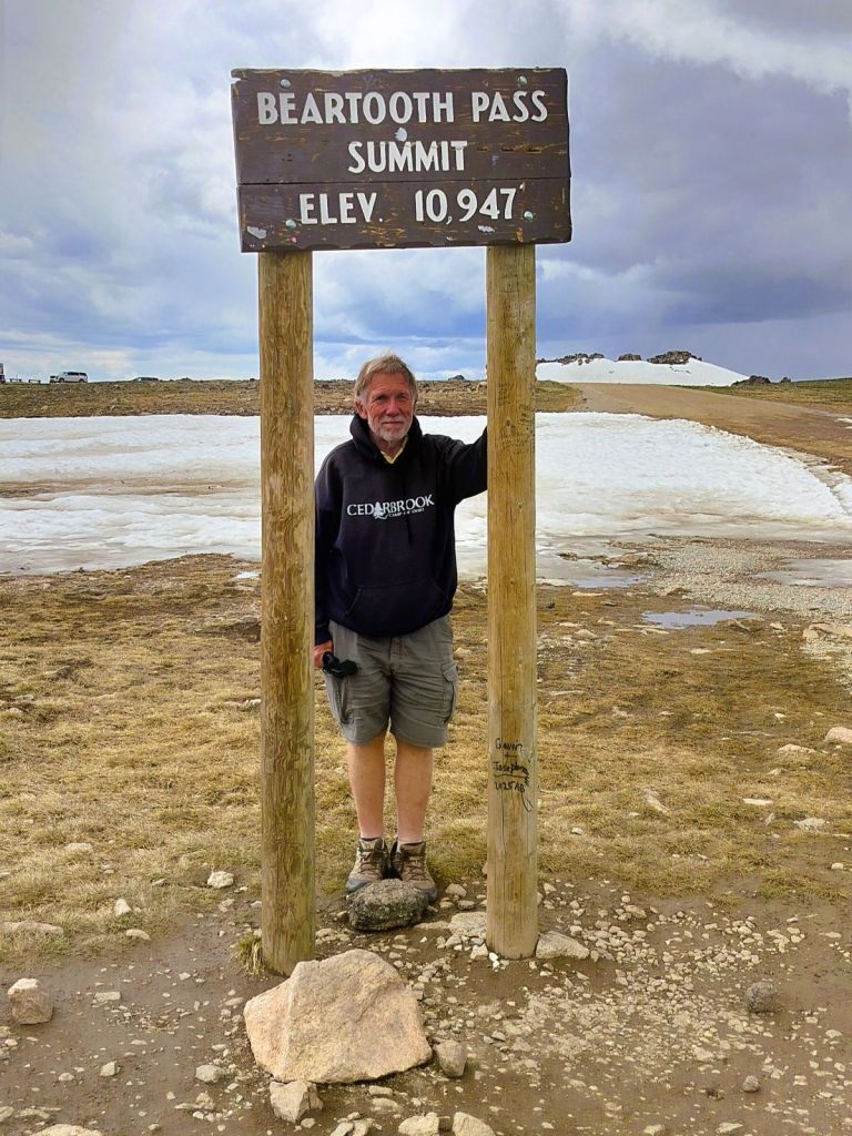
We drove the Beartooth Highway on June 24 – most of the snow at the pass was gone
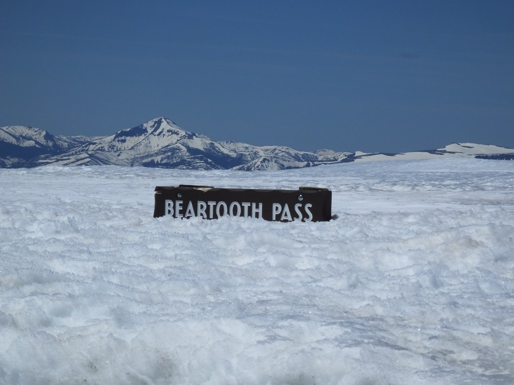
Snow almost covers the same sign when we drove in Beartooth Highway on June 3, 2018

That afternoon we descended the scenic Beartooth Highway toward Red Lodge, Montana, and came upon a large herd of mountain goats crossing the highway.  Traffic stopped and drivers got out of their vehicles to watch the scruffy critters pass.
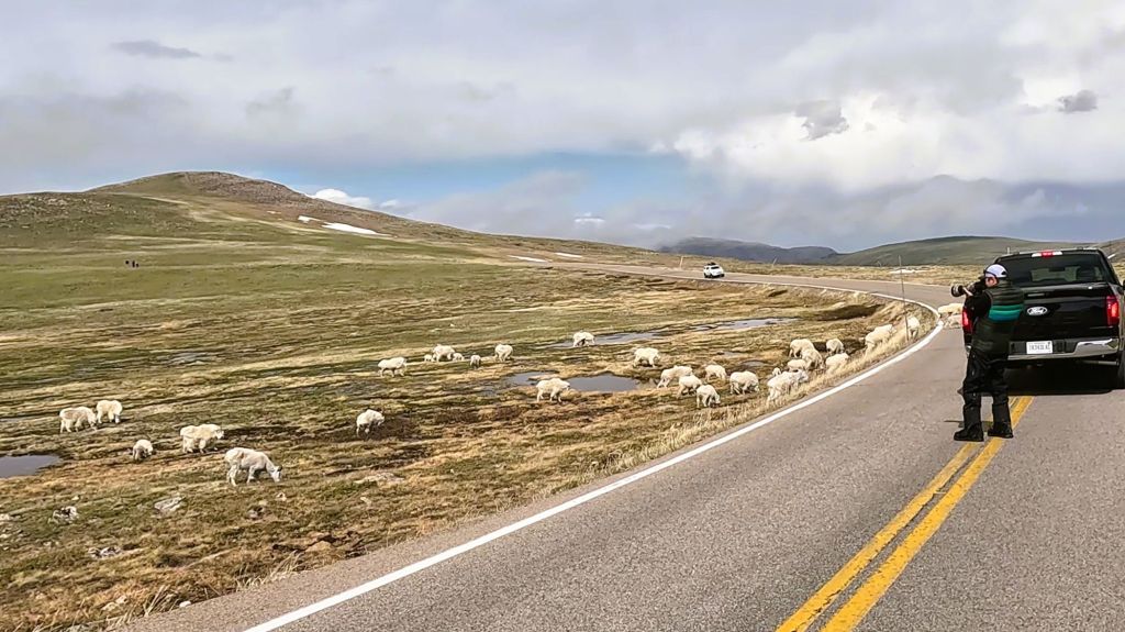
Stopping to see a goat herd cross the Beartooth Highway
Several of the scruffy mountain goats

We camped near Red Lodge at a National Forest campground and during breakfast the next morning, we were surprised when a grizzly bear walked directly behind our camper in search of its morning meal.  It was good to be safely inside Pap and not part of the bear’s repast.
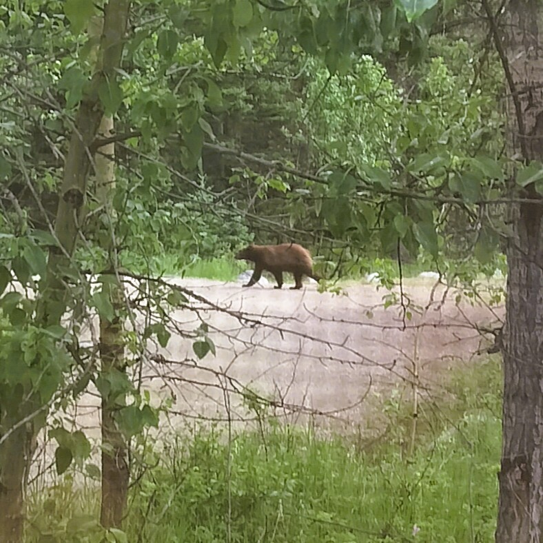
This grizzly bear passed by our campsite in search of breakfast

Next Week

Visits to Montana’s Little Big Horn Battlefield National Monument for the 150th anniversary of the Battle of the Greasy Grass and the Black Mountains in South Dakota.
Yellowstone NP: While in the Neighborhood…

(2019 Grand Teton Ep 15)

Yellowstone National Park is north of the Tetons.  Although we have visited Yellowstone a half dozen times in the past (including more than a week in 2018), we decided to visit again while we were in the neighborhood.

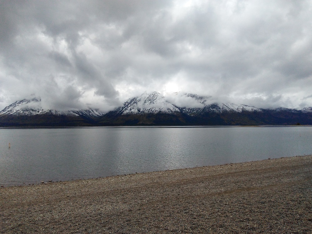
From Gros Ventre, we headed north a few miles to camp at Colter Bay (map point 10), still within Grand Teton National Park.  Colter Bay is on the eastern shore of Jackson Lake.  The Tetons rise majestically beyond the western shore of the lake.  Unfortunately the weather turned cold and rainy, and we were unable to hike or take boat tours available in the area.  Instead we did our laundry and toured the visitor center.

Colter Bay
Snow-dusted Tetons across from Colter Bay

Two mornings later, we left for Flagg Ranch (map point 11) as the weather cleared.   The tops of the mountains were dusted with fresh snow, a sign that winter was on its way.

Flagg Ranch is between Grand Teton and Yellowstone national parks, along the John D Rockefeller Jr Memorial Parkway.  We decided we would camp at the ranch for three nights and take day trips into Yellowstone.

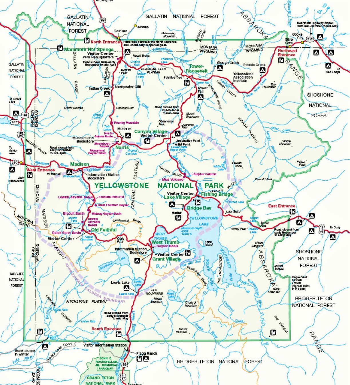
Yellowstone National Park Map
Map of the Teton-Yellowstone area

Our Yellowstone visit bypassed most of the places we visited in 2018 – Old Faithful, Mud Volcano, several other groups of geysers and many of the viewpoints of Yellowstone Falls.   Instead we focused on areas we had not visited during recent trips or ever before.

We decided to go to Tower Fall in the northeast corner of the park.  En route we drove past Fishing Bridge, a Yellowstone River crossing just south of Yellowstone Lake.   The bridge has been rebuilt since 2018 and is now MUCH smoother.  Other road construction continues in the area and Fishing Bridge Campground will remain closed until sometime in 2021 (as an aside, Fishing Bridge is the only campground in the park with water and electric hookups).

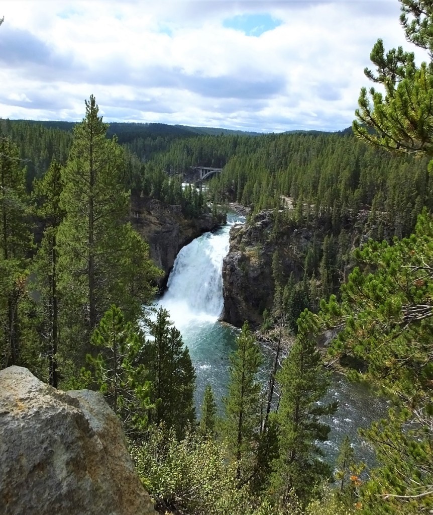
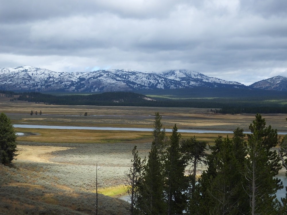
It was strange not see herds of bison as we drove through the Hayden Valley.  They had migrated to other parks of the park.  We took a short detour along the south rim drive to see the Upper Falls on the Yellowstone River from Uncle Tom’s Trail.  The trail was closed for redevelopment during our 2018 visit.

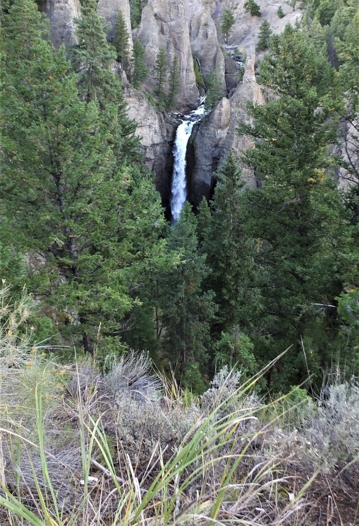
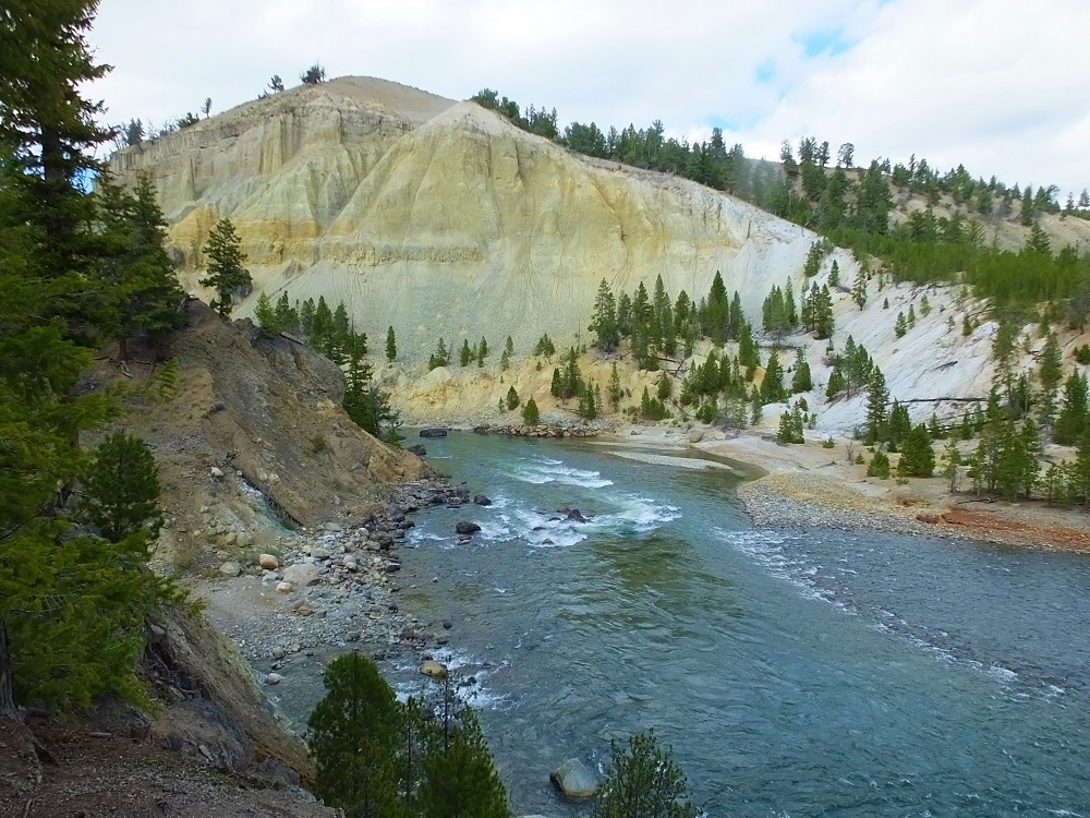
About an hour later we arrived at Tower Fall, a 132-foot cascade along Tower Creek just before it merges with the Yellowstone River.  We viewed the falls at the start of a one-third mile trail that winds down 225 feet to the river.  At the bottom there is an interesting view of the multicolored canyon carved by the river.

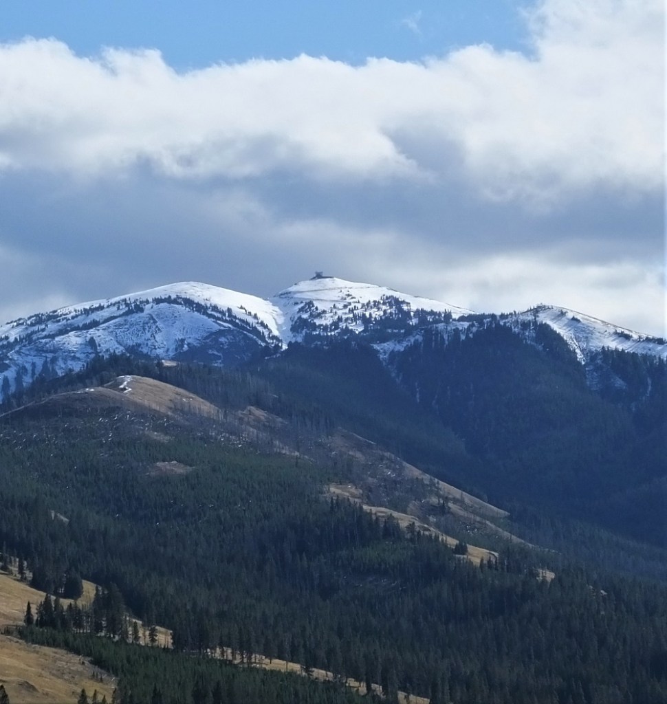
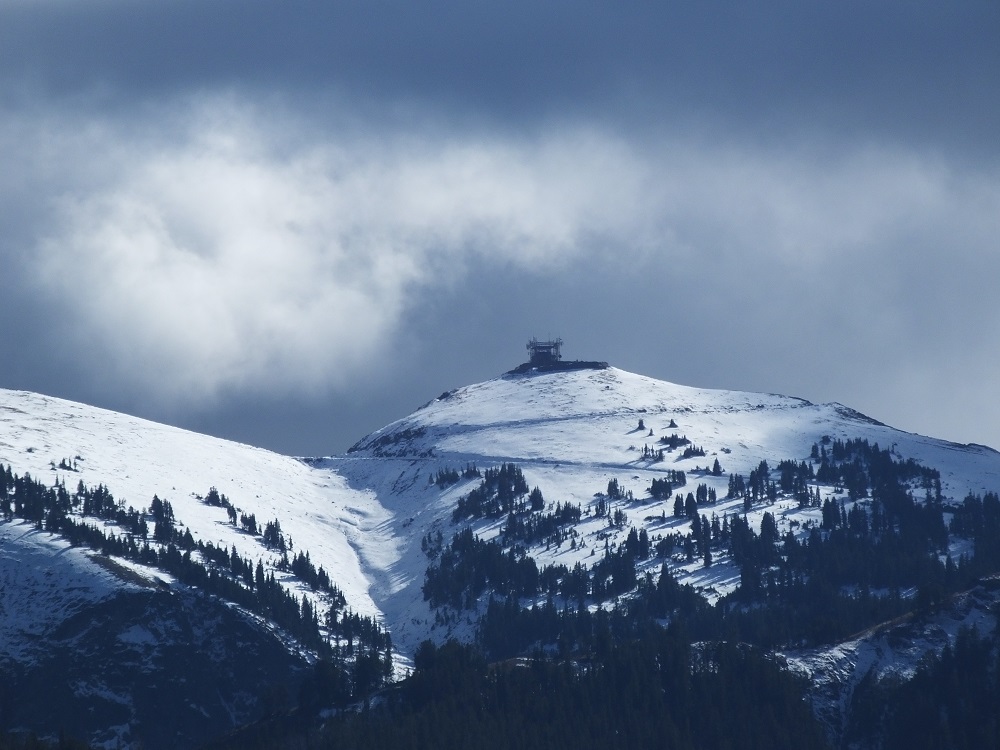
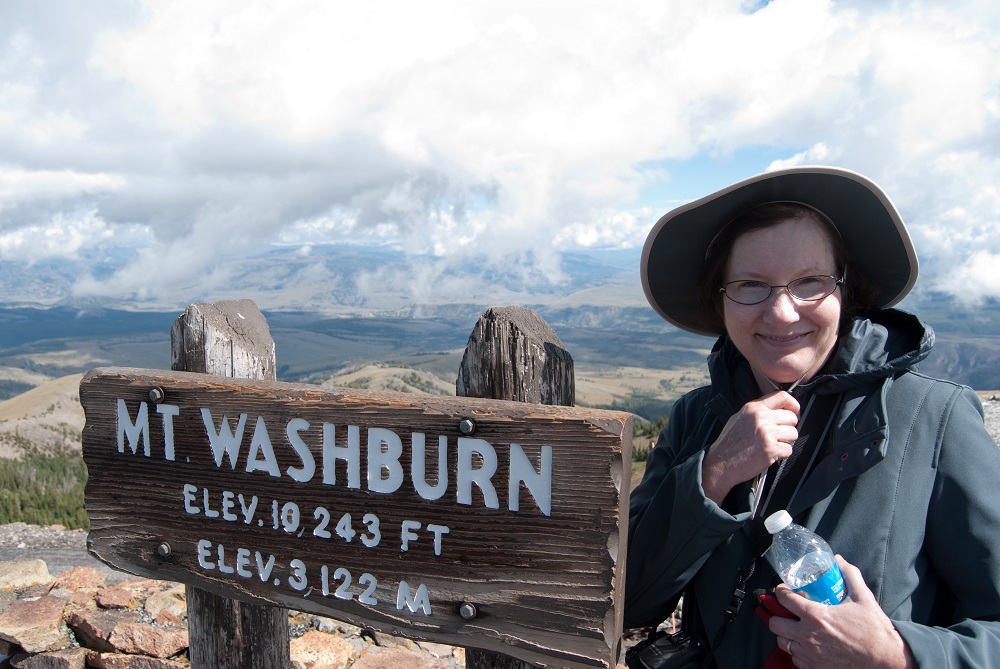
As we returned to Flagg Ranch, we stopped to photograph snow-covered Mt. Washburn.  Pat and I (kind of) enjoyed a hike to the top of the mountain in September 2014 – breathless from the views and the 1400 foot climb to the peak!

Washburn Panorama
Mt Washburn Panorama 2014

The next morning we drove to the west side of Yellowstone to hike the Grand Prismatic Overlook Trail.  Parking at the trailhead was very crowded and we shared the trail with many others as we hiked one mile to the overlook.  We took our turn enjoying the view of the colorful spring.

Grand Prismatic Spring
Grand Prismatic Spring from Overlook

Later in the day we visited the Norris Geyser Basin to see Steamboat Geyser.  Steamboat is the world’s tallest currently-active geyser and has been in an active phase since March 2018, with 71 eruptions through our visit in late September.  The erupting geyser plume is more than 300 foot high and usually lasts between three and 40 minutes.

A worker at the adjacent National Park bookstore told us Steamboat eruptions were very load.  “It roars like a locomotive,”  he said.

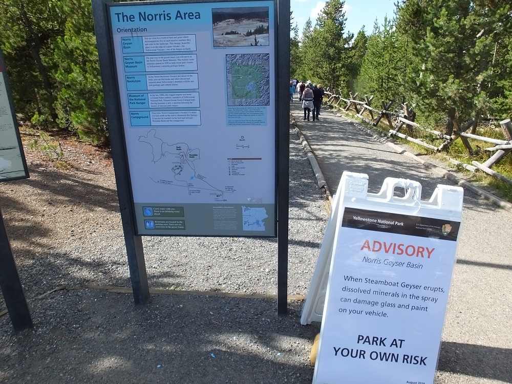
Signs in the nearby parking lot warned vehicle paint could be damaged by fallout from the geyser.  Some area workers even had covers on their cars.

The geyser did not erupt during our visit.  We had to settle for spritzes of about 15-20 feet.  Our truck was unaffected.

Steamboat Geyser
Little action at Steamboat Geyser
Steamboat Warning
Warning: Park at your Own Risk

After more than a week in the Teton/Yellowstone area, it was time to start heading home.  We had a decision to make – head north to Montana and the Dakotas, or south to canyon country in Utah.  We’ll let you know the outcome next week.