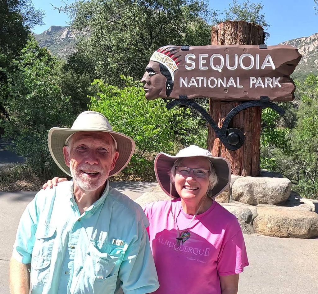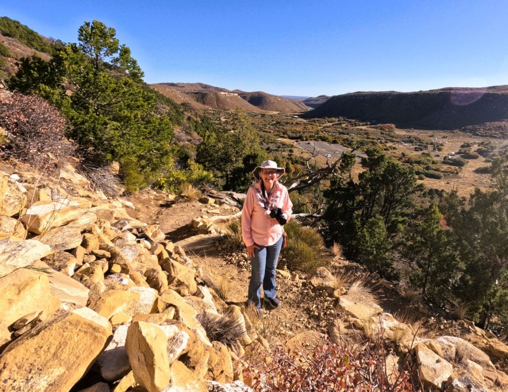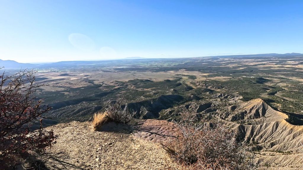
(2025 Wild West Wander Ep 9)
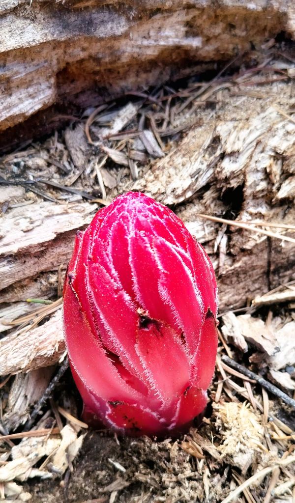
Yosemite’s natural beauty can be found in things big and small, from towering granite cliffs and giant sequoias to diminutive wildflowers.
The words above are from the National Park Service visitor handout. They capture the essence of Yosemite, a special place like none other. Multiple WOW moments left us with an appreciation of God’s magnificent creation, of the natural forces that shape the landscape and of the foresight of those who preserved Yosemite for us and future generations.
The WOW Moments Took Some Getting There
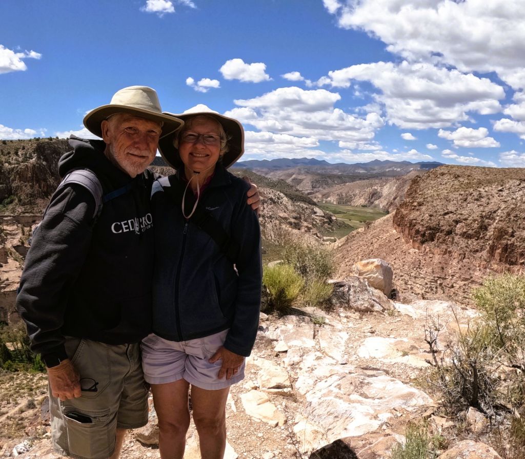
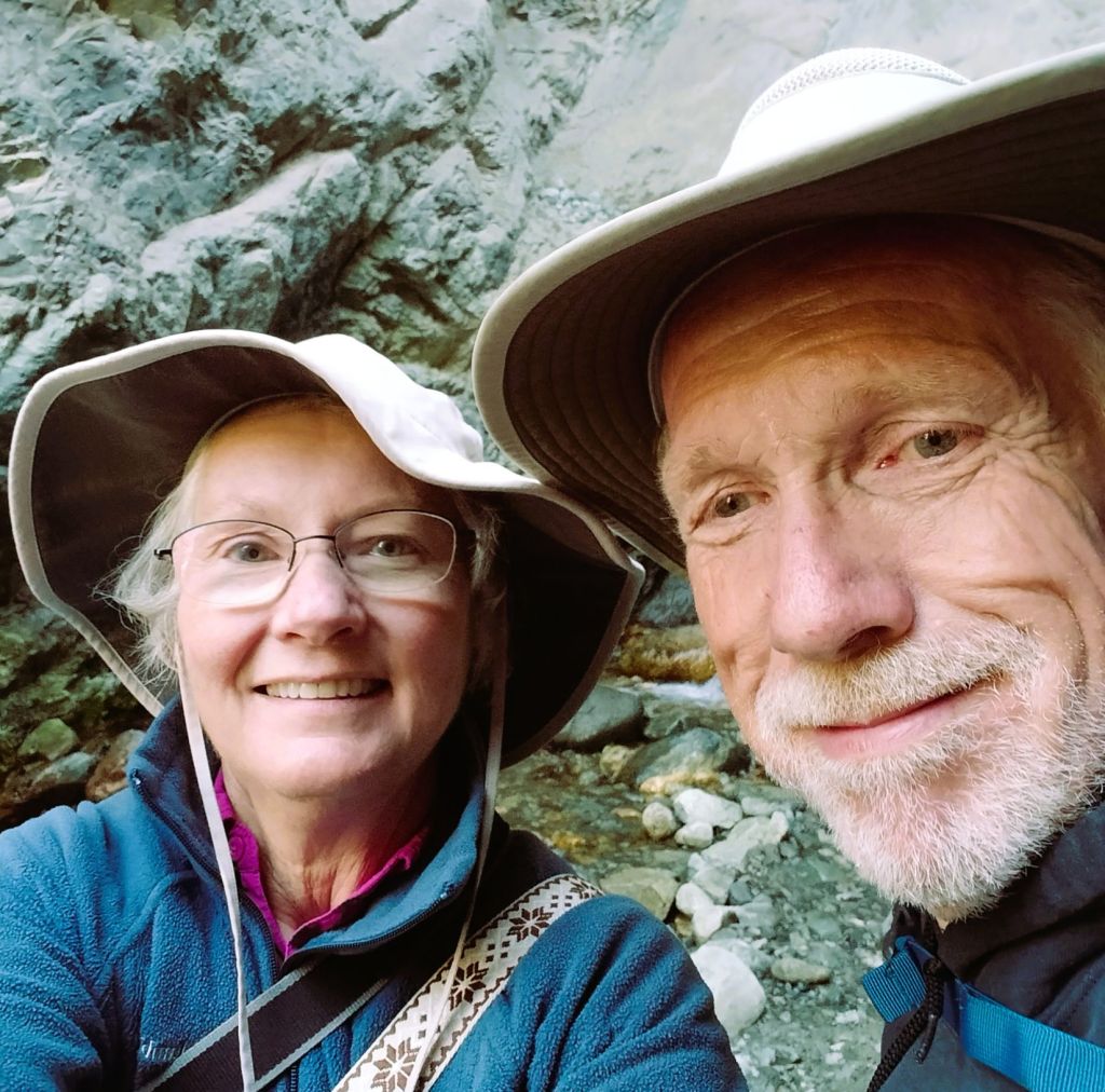
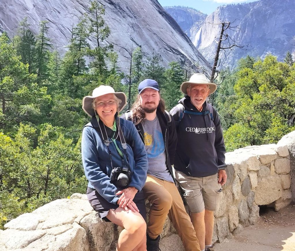
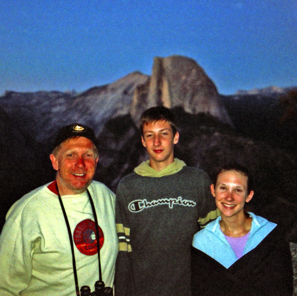
Our son, Phil, joined us for a couple days.
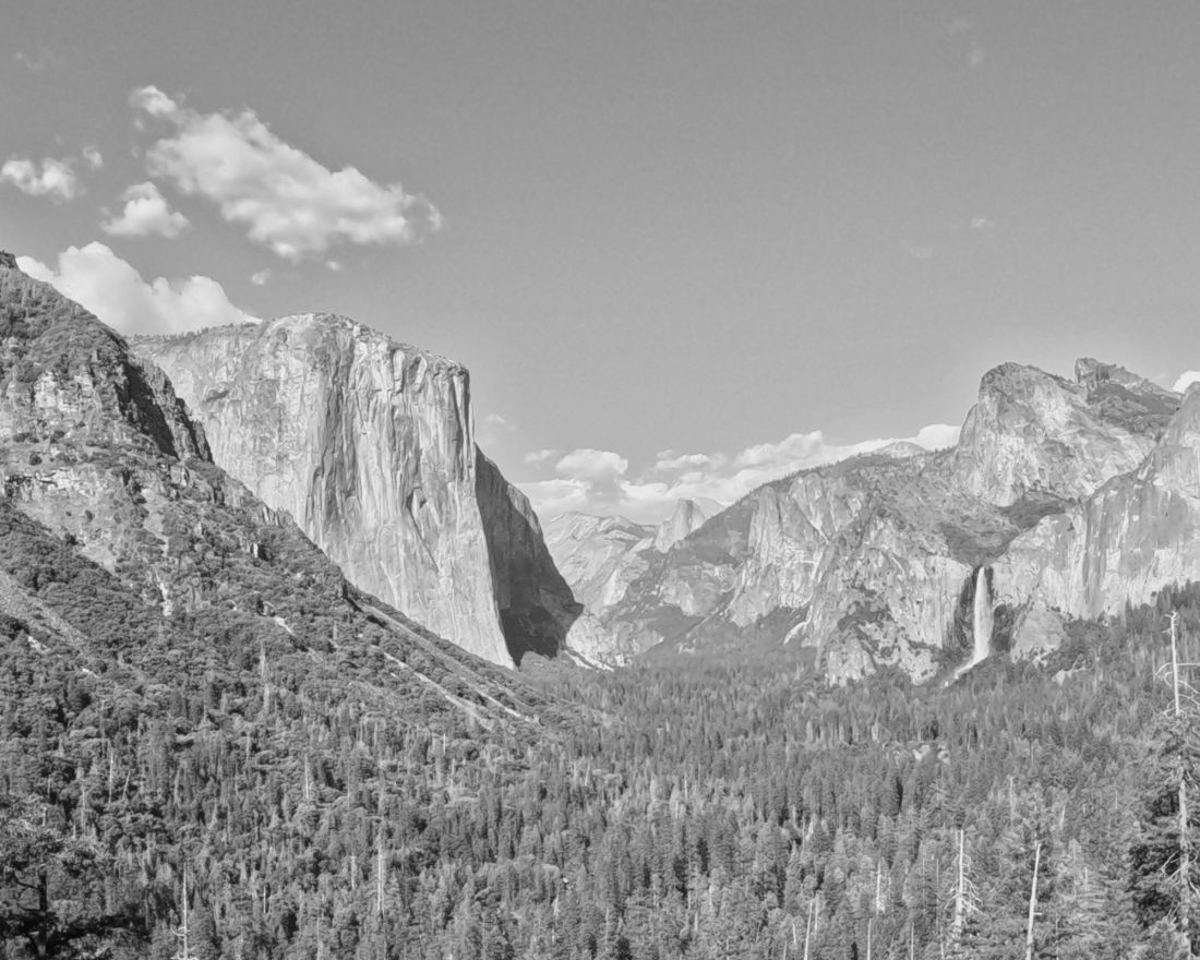
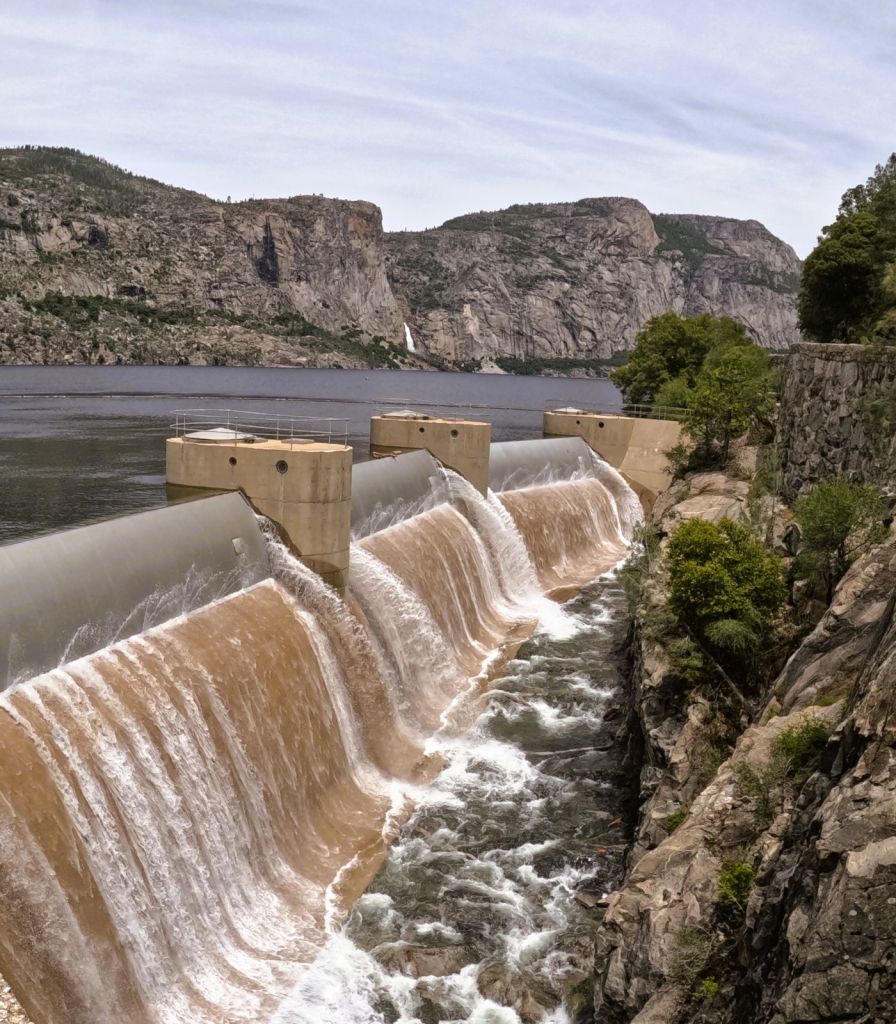
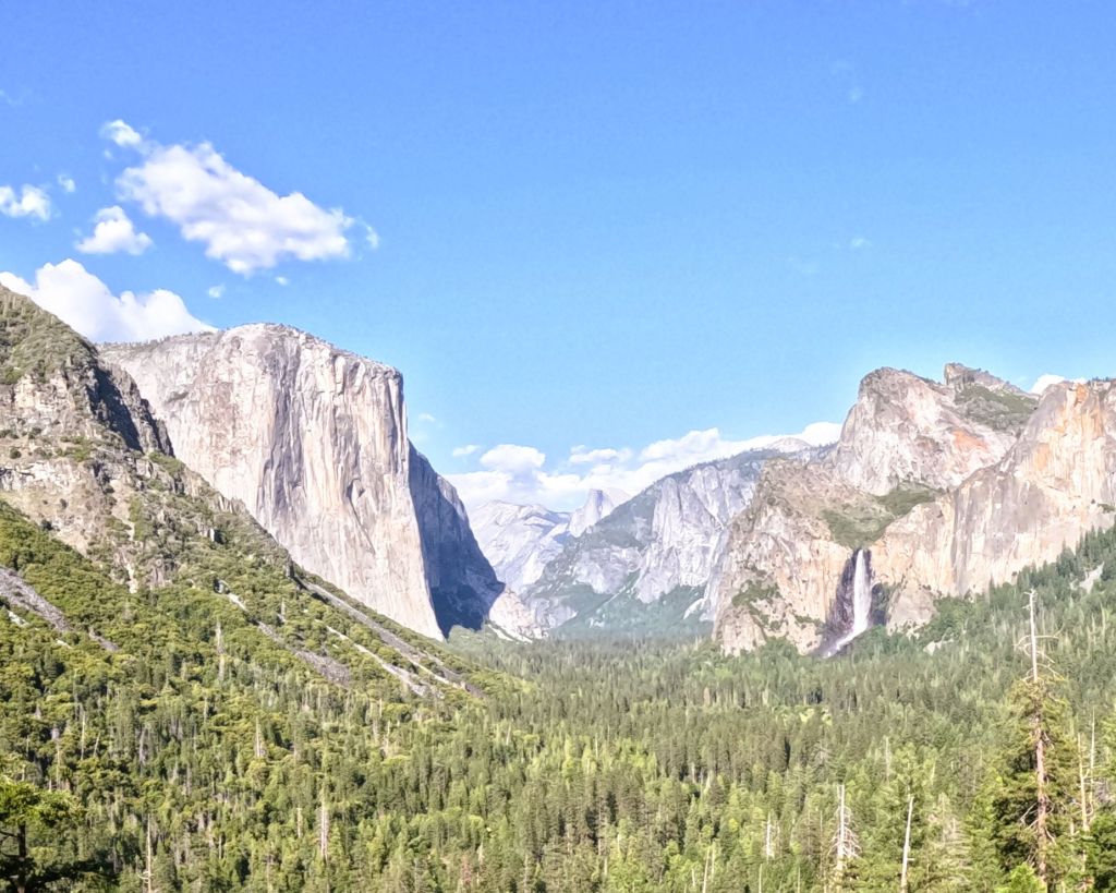
We drove a half hour from where we were staying in nearby Groveland to the park entrance and another 20 minutes or so to the Yosemite Valley. The valley is seven miles long and a mile wide, surrounded by 3000-foot walls and high granite summits such as Half Dome and El Capitan.
Tall Falls
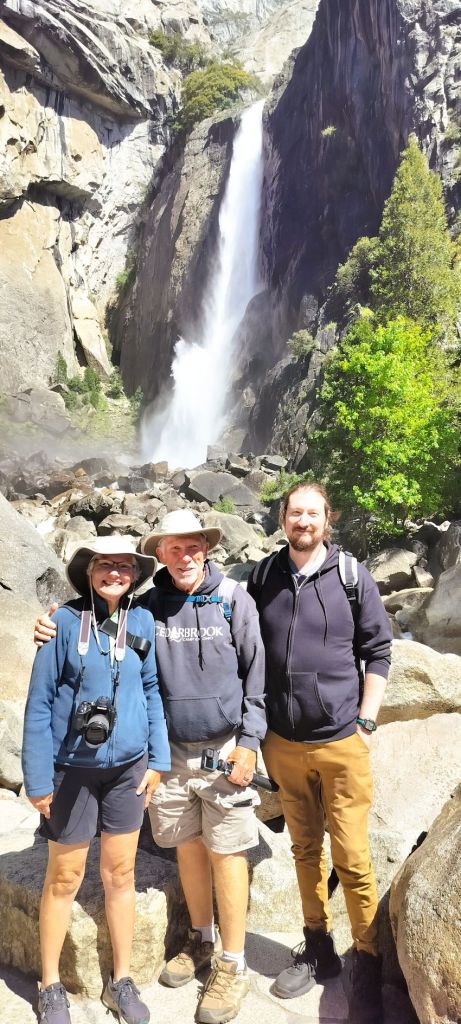
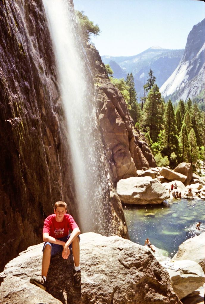
Our first WOW moment came as we approached Yosemite Falls. The falls three-tiered plunge of 2425 feet are the tallest waterfall in North America. As we posed for a photo in front of the lower falls, I recollected our 2001 family visit to Yosemite and Phil’s scramble up the rocks at the base of the falls for a memorable photo. Times change and you can’t scramble up the rocks anymore, but the falls are still breathtaking.
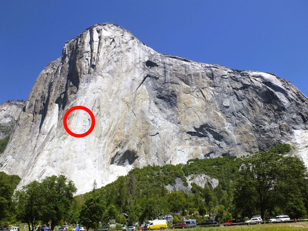
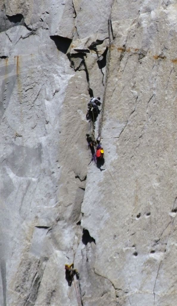
Brave Climbers on El Capitan
Further along, we stood near the base of El Capitan and watched climbers ascend the 3000-foot-high granite monolith. The world-famous location is frequented by big wall climbers who choose from dozens of routes up the rock face. Although most climbers use aids like steel anchors and ropes for their ascent, a few have free climbed El Capitan, an amazing feat of skill, endurance and bravery.
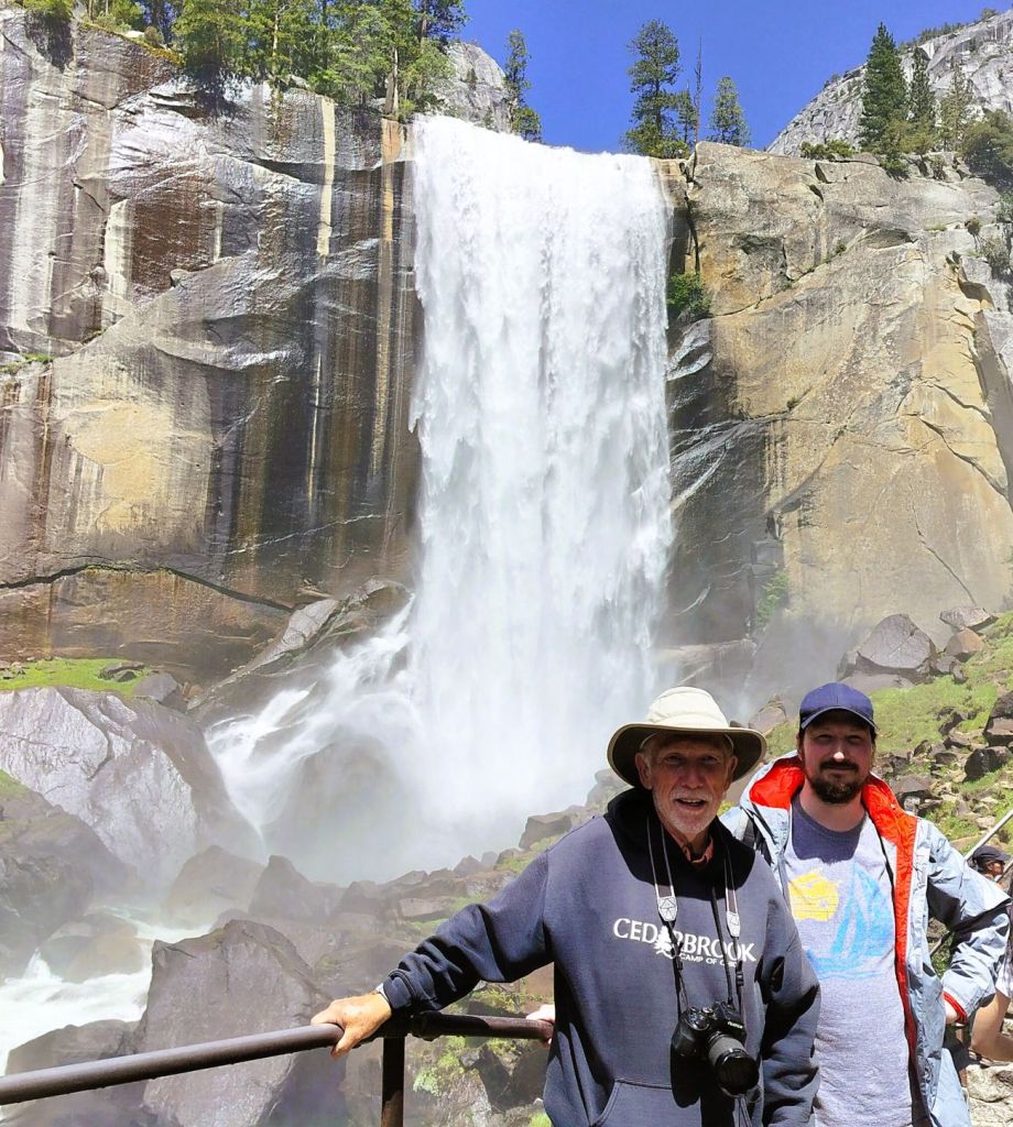
A Safer Climb to Vernal Falls
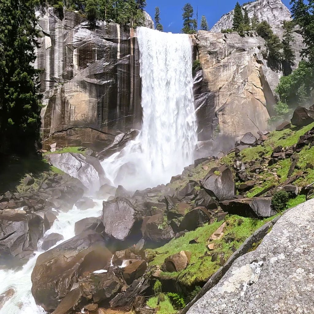
That afternoon we hiked a steep trail to the Vernal Falls Footbridge. Phil and I continued up the Mist Trail and after climbing hundreds of steep granite steps we came to a vantage point near the base of 317-foot Vernal Falls. The view was amazing – a great payoff on the trail that we would rate five-out-of-five boots.
The trail continued to Nevada Falls, nearly twice as high as Vernal Falls. Phil and I had already ascended more than 700 feet and the trail ahead was wet and slippery, so we decided to carefully make our way back down the wet granite steps and steep trail back to the parking lot.
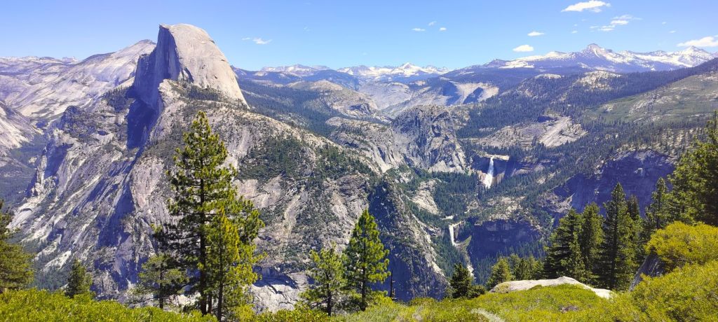
A View Like None Other
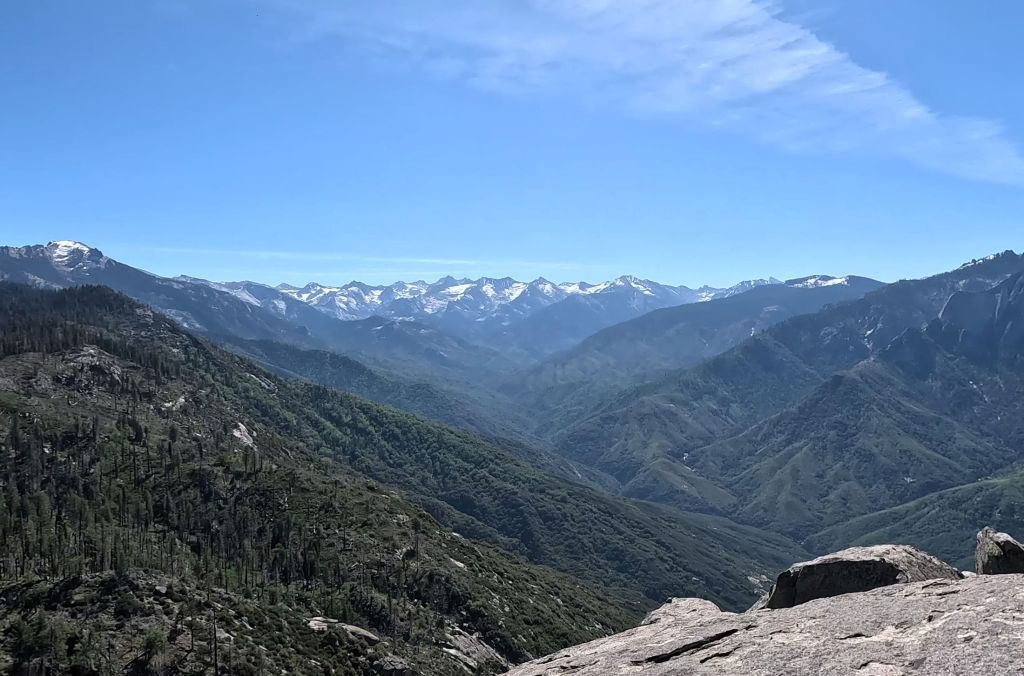
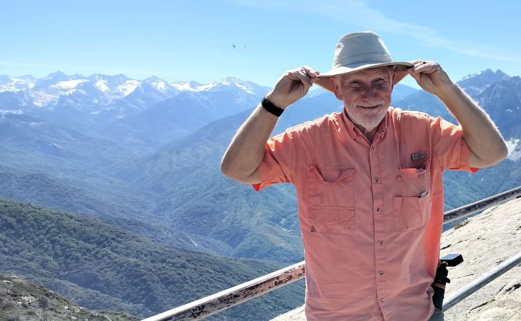
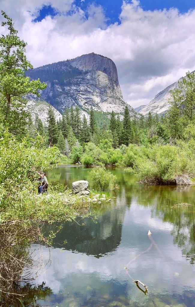
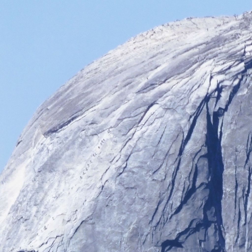
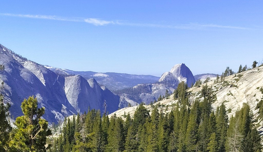
The next morning, we skipped the valley and instead drove the steep, winding road to Glacier Point. We had another WOW moment as we viewed the broad landscape of snow-covered Sierra Nevada Mountains, several waterfalls including Vernal and Nevada falls, and Yosemite Valley 3000 feet below. We could also see ant-sized climbers on Half Dome, another well-known granite monolith across the valley.
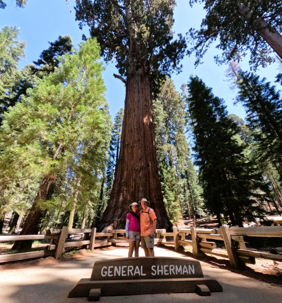
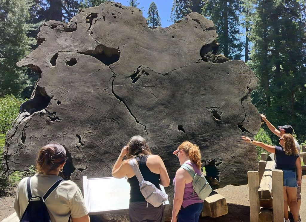
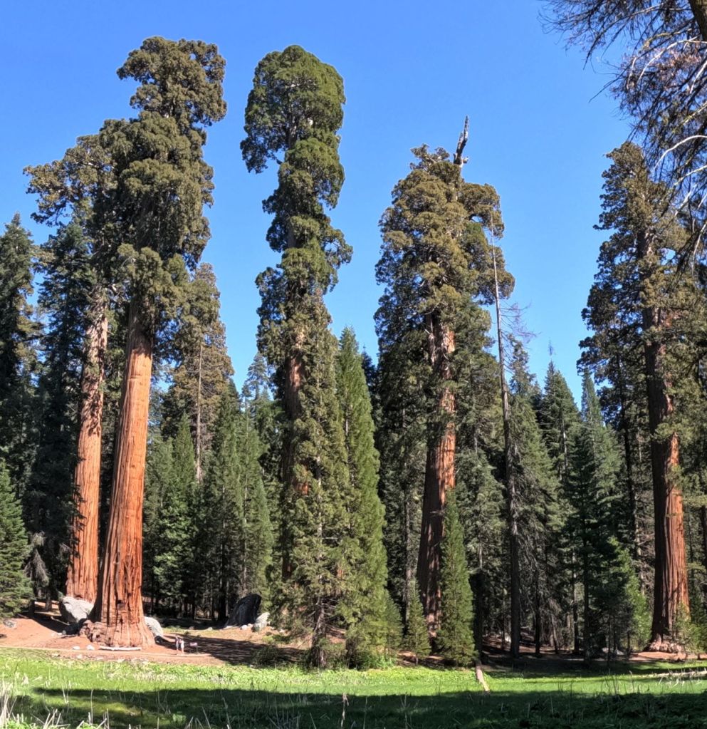
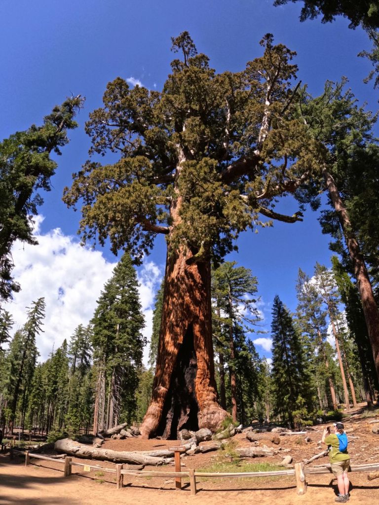
More Big Trees
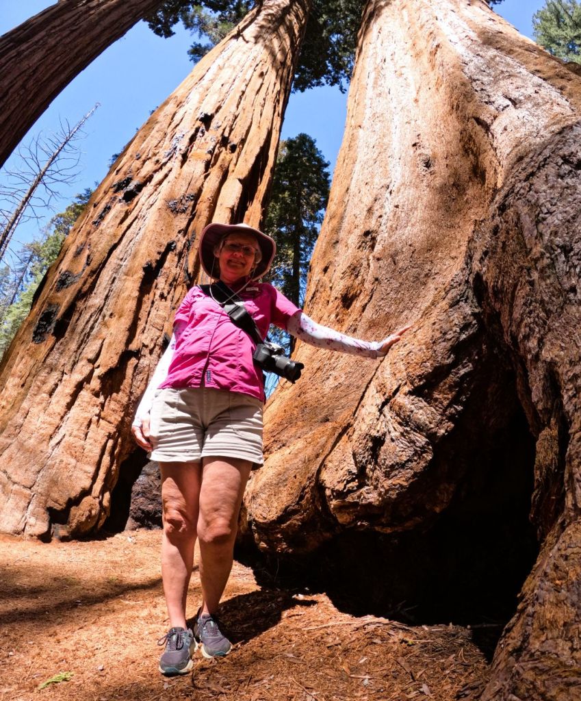
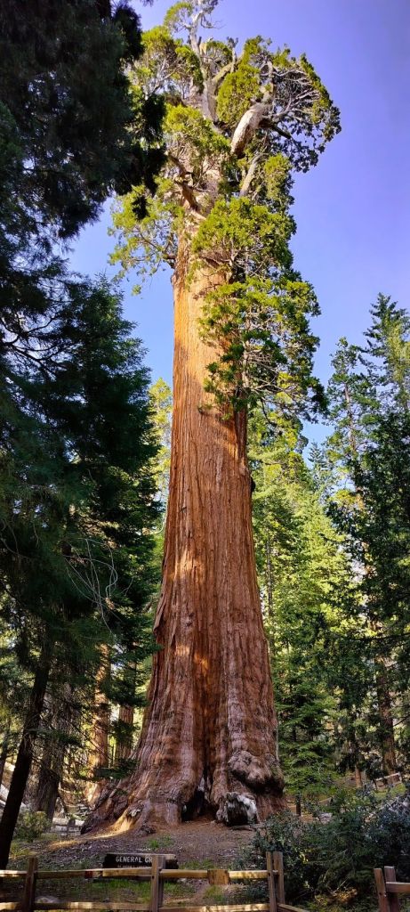
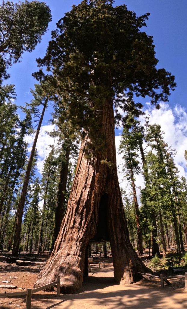
From Glacier Point, we continued to Mariposa Sequoia Grove where we hiked a short trail to see the Grizzly Giant and California Tunnel Tree, two of Yosemite’s famed sequoias. The Grizzly Giant is 210-feet tall with a circumference of 92 feet. It’s the 25th largest tree in the world. The massive tree is between 1900-2400 years old – the oldest tree in the grove.
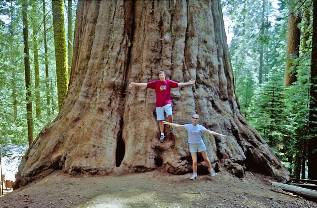
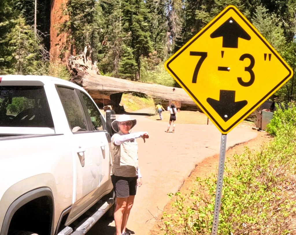
A short distance away, we walked through the Tunnel Tree. An auto-sized hole was carved at the base of the tree in 1895 and it functioned as a drive-thru attraction until 1932. The hole is definitely too narrow for our truck!
A Final WOW Moment
As we returned to Groveland, we had our final WOW moment when we emerged from the nearly mile-long Wawona Tunnel. We stopped to experience one of the most famous views of Yosemite Valley that showcases El Capitan, Half Dome, Sentinel Rock and Bridalveil Fall.
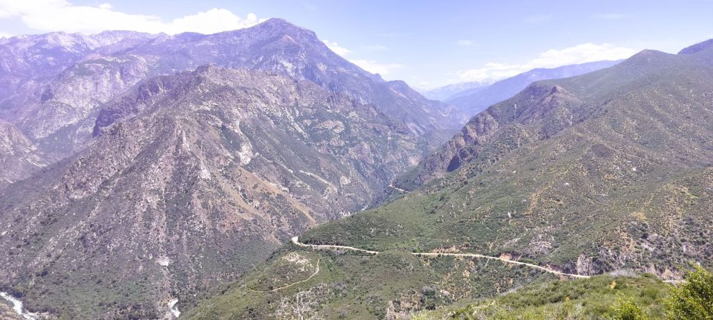
Our visit to Yosemite came to a close as we passed through the high country of Yosemite. We stopped at Olmstead Point to get another view of Half Dome and then crossed the eastern Sierras via Tioga Pass. At 9945 feet, Tioga is the highest mountain pass in California. Although some years the road doesn’t open until June due to deep snow, we were glad it opened earlier in May and that most of the snow was gone.
Planning to Visit Yosemite?
Yosemite’s amazing splendor makes it a VERY popular destination.
No campsites were available in the park when we tried to reserve in March and the park was somewhat crowded during our visit in mid-May. Summer crowds often result in long waits to enter the park and to visit the various places mentioned in this episode.
We recommend parking as quickly as possible after entering the valley and using free bus transportation provided by the park service to get to the various valley destinations.
Better yet, visiting earlier in the spring or later in the fall may also help, although some services may be closed for the season.
Next Two Weeks
Cold weather catches up with us in northern California as we follow several interesting RabbiTRAILS on the way to the Sawtooth Mountains in Idaho. It will take two episodes to share our wanderings.