RabbiTRAILS is now AD FREE We hope you enjoy the less-cluttered format!
Balloons…
We spent three nights in the Albuquerque area during the Balloon Fiesta (2025 Balloons and Beyond Ep 6, Ep 7, Ep 8). Despite several balloon launches and glows cancelled due to rain, Friday was a perfect day with a spectacular morning ascension and wonderful evening glow-flicker, drone show and fireworks. It was the highlight of our trip!
And Beyond!
We left Albuquerque headed east on I-40 and spent the night in Tucumcari, NM.
We ate lunch at Clines Corners, a gas station/kitschy tourist store a couple hours east of Albuquerque on I-40In addition to souvenir T-shirts, caramel nuts and toy slingshots, Clines Corners has several old-fashioned fortune-telling vending machines like Love Tester and Zoltar. Zoltar’s advice? Don’t drive truck campers through tunnels!
Tucumcari was once a major stop for travelers on Route 66, America’s Mother Road. On the edge of town there’s a whimsical Route 66 monument with a sloped sandstone base inscribed with tires and serpentine two-lane highway. It is topped with stylized sixes atop a 1950s tail fin and lights.
Tucumcari’s monument to Route 66, the Mother RoadMany towns have welcome murals like this one in Tucumcari
There are lots of small motels with names like Palomino Motel, Roadrunner Lodge, Relax Inn, Motel Safari, Pow Wow Inn and Buckaroo Motel that are closed or repurposed. A few remain open to offer lodging to nostalgic travelers.
Tucumcari also has a variety of curio shops
Cambodian Donut Cartel?
At Tucumcari Donuts we learned an interesting piece of the American story.
Tucumcari Donuts – part of the Cambodian Donut cartel?
A young Asian man served us donuts and coffee and told us his family was from Cambodia. At similar donut shops in Missouri, Colorado and east Texas we learned the employees were also of Cambodian descent.
This friendly fellow with Cambodian heritage poses with amazing donuts!
Cambodian-owned donut shops are a huge part of the American donut scene, many stemming from refugees finding opportunity in America in the 1980s. The shops were pioneered by Cambodian Ted Ngoy (the Doughnut King), who helped fellow refugees start their own businesses.
Not Up to the Challenge
Trucks and cars zipped by us on Texas I-40. We poked along at 60 mphA long windmill blade traveling along I-40 will be added to one of the thousands of already-installed windmills on the Texas panhandle
We continued east to the Texas panhandle. The flat terrain was punctuated with THOUSANDS of Texas-sized spinning windmills.
Like the omnipresent Buc-ee’s signs on interstate highways elsewhere, there were frequent signs encouraging a stop at The Big Texan Steak Ranch in Amarillo. The steakhouse is home of the world famous 72-ounce steak challenge: eat a 4½ pound steak and fixings in less than an hour and it’s free. Otherwise, the belly-busting meal will set you back $72!
Eat the 72-ounce steak at the Big Texan Steak Ranch in less than an hour and it’s free!
We weren’t up to the challenge. Full of our mid-morning donut snack, we passed by and turned south toward the second largest canyon in the United States.
Palo Duro Canyon
Nicknamed “The Grand Canyon of Texas” both for its size and dramatic multicolored rock layers and steep mesa walls, Palo Duro is about 40 miles long, six miles wide (20 miles wide at places) and 800 feet deep.
Liz, Phil and Pat during a 1999 visit to Palo Duro Canyon.2025 view of Palo Duro Canyon from same rock wall as 1999 family photo
Much of the canyon is contained within a Texas state park. The visitor center at the canyon’s rim has sweeping canyon views and in 1999 I took the family photo above as we enjoyed our first view of the canyon. How time flies!
From the viewpoint, the road quickly descends to the bottom of the canyon. The layered and multicolored canyon framed the road as we drove to the campground where we would stay for the next two nights.
Photographing the colorful layered canyon wall at Palo Duro State Park
We were greeted by Bullet (his real name), a campground host originally from Amarillo. He was a rodeo cowboy in his teens and later owned an Amarillo copier service business. Now retired, he has been a fulltime volunteer at three different Texas state parks for more than a dozen years.
He helped us set up and provided useful details about the campground and things to do in the park.
Pat carefully hikes into a low area along the Lighthouse TrailZoom this photo to see people on the ledge between the two formations – the Lighthouse is on the right
Six miles = Muscle Aches?
We decided to hike three miles to the iconic Lighthouse formation, prominently displayed in park promotional brochures. The mostly flat trail weaves through several canyons before the steep quarter-mile climb to the Lighthouse. After a precarious scramble to the base of the formation, we had great views of the broad canyon.
Sweeping view of Palo Duro Canyon from the Lighthouse
The hike was worth a few minor muscle aches!
Balloons and Beyond – Wrap-up
Palo Duro was our first Texas state park during our fall 2025 Balloons and Beyond travels. Next episode we wrap up the series with visits to five more Texas state parks as we cross the state on our way home.
Don’t forget to LIKE our blog posts and to SUBSCRIBE for future updates
We left Black Canyon of the Gunnison bound for Mesa Verde, several hours away in southwest Colorado. Our route took us near Telluride, a former mining town that is now a popular tourist destination and ski resort, and across several mountain passes, where the Rocky Mountain fall colors were on full display.
Rocky Mountain fall colors
Brief Reunion
Pat’s brother, James, met us for the night near Cortez, CO. We enjoyed dinner outdoors and compared our travel experiences since parting ways in Wyoming several weeks prior. He was returning to Florida after traveling further west in Wyoming and Idaho.
The day ended with a beautiful fiery sunset over the San Juan Mountains.
Pat’s brother, James, met us as he returned to FloridaSunset near Cortez, CO
Green Table
At Mesa Verde National Park the next morning, we stopped at the visitor center to check on tours of the park’s ancient cliff dwellings. The park rangers were unsure how the US government shutdown would affect the three tours we booked during our stay. They said it was even possible we might have to leave the park.
The Mesa Verde entrance road zigzags up iconic Point Lookout on the way to the pueblos and cliff dwellings
While setting up at the national park campground, we took Pap off Percy. We often do this when staying two or more nights as it is easier to maneuver and park the truck without its piggyback friend. The gas mileage also is much better.
It takes fewer than 15 minutes to lower Pap’s four side legs so the camper is above the truck bed, drive the truck from beneath the camper and then lower it about halfway to the ground onto four screw jacks. In case you were wondering, putting Pap back onto Percy takes about 30 minutes.
That evening we drove the 15-mile narrow and winding road to the mesa top and cliff dwelling areas. From the park’s highest point, we could see how Mesa Verde got its name. Ahead of us was a relatively flat expanse covered with green pinyon pines and junipers. It looked like a green table – translated to Mesa Verde in Spanish.
Spruce Tree House has about 130 roomsSquare Tower House, is a four story, 27-foot-tall structure surrounded by 24 rooms
We viewed the Spruce Tree House and Square Tower House cliff dwellings from the mesa top and wondered, like many visitors, about the ancient Puebloans that built and lived in the structures. How did they get from the mesa tops and canyon valleys to the dwellings? Where did they get water and food? Why was the area abandoned around 700 years ago?
We hoped to learn answers to these and other questions during the tours.
Mesa Nada
Unfortunately, the tours were not to be.
We rose the next morning before sunrise and drove to the meeting location of the Square Tower House tour. Almost there, we were stopped by a gate with road closed signs. We learned the US government had indeed shut down. All of the Mesa Verde’s historic sites were closed and our tours were cancelled.
From past travels we’ve learned that changed plans often yield unexpected surprises and blessings.
We were thrilled to see lots of mule deer and four black bears in the campground area.
A couple of the many mule deer near the campgroundA mama black bear and her two cubs seen on an early morning drive
Later, we hiked to the top of Point Lookout, the iconic geological formation that towers above the park entrance. From the point, we were rewarded with views of the distant San Juan Mountains and valleys below.
Climbing the steep and rocky trail to Point LookoutView of valley and distant mountains from Point Lookout – we were right on the edge!
Answers to the questions above?
Most of the pueblos and cliff dwellings started around 600 AD were abandoned by 1300 AD following prolonged drought and social upheavals. The residents subsisted by growing maize on the mesa tops and by hunting. Narrow, steep trails connected the pueblos and cliff dwellings to the mesa top and sources of water.
Perhaps we’ll learn more complete details during a future visit to Mesa Verde. That is, of course, if the US government isn’t shut down!
The original auto route to Mesa Verde’s mesa and cliff dwellings was described as a knife edge
Onward to the Balloon Fiesta
We left Mesa Verde a week before the Albuquerque Balloon Fiesta. We ate lunch in Farmington, a sizeable town in northern New Mexico with a HUGE Walmart, and continued southwest to a remote Harvest Host location.
Navajo Mission
The Navajo Brethren in Christ Mission ministers to Navajo communitiesNumerous buildings and a small church are part of the Mission
Our stay at the Navajo Brethren in Christ Mission revealed various ways the mission reaches out to Navajo residents in the area. The mission offers food, clothing, education assistance and the hope of Christ through their church ministry and fellowship programs. We camped a quarter mile from the Mission where the quiet sagebrush and cactus covered camping area was interrupted by passing water trucks, squeaking oil well grasshoppers and mooing cows.
Cows and oil wells from our remote campsite
Abiquiu and the Georgia O’Keefe Connection
Our travels continued.
We camped several nights at a Corps of Engineers dam near Abiquiu, NM. Our campsite had a great view of the Abiquiu Reservoir and the red rock canyons and mountains in the distance.
Abiquiu Reservoir and distant red rock canyons and mountains
Abiquiu is best known for its connection with artist Georgia O’Keefe, where she had a home and studio. Her work was inspired by colorful and dramatic landscapes in the area that include the Abiquiu Reservoir and Ghost Ranch, a nearby education and retreat center.
My Front Yard Summer by Georgia O’Keefe (1941) captures the beautiful landscapes near AbiquiuWe hiked to a beautiful lookout overlooking Ghost Ranch. The flat top mountain in the background is in the painting aboveA daunting reminder of the wilderness around Ghost RanchGhost Ranch locations have been used in many movies including City Slickers (1991), Cowboys vs Aliens (2011) and Oppenheimer (2024). This cabin was used in City Slickers.
Santa Fe and Meow Wolf
Our final night before the Balloon Fiesta was in Santa Fe (click to see RabbiTRAILS Ep 6 / Ep 7 / Ep 8). During prior visits we walked around the historic downtown square and toured nearby Los Alamos and Bandolier National Monument. We’ll save those for future RabbiTRAILS blogs should we visit again.
Meow Wolf is an unusual attraction in Santa Fe
This time, however, we wanted to visit Meow Wolf, an unusual attraction formed in 2008 as part of an art collective of more than 135 local artists. The venue is a 20,000 square foot immersive art experience, where visitors wander through dozens of rooms and secret passages, attempting to unravel the mysterious disappearance of a family that experimented with interdimensional travel to bring back a deceased family member. (crazy, huh!)
Meow Wolf can be described as a combination of huge escape room and Disney Imagineering. It has been replicated in Las Vegas, Dallas, Houston and Denver. Each location has a distinct theme and narrative.
We visited many unique roomsLots of Pats in a mirror roomWe weren’t quite sure about the meaning of this and several other roomsPat prepares to go through the refrigerator portal to another room. There were also fireplace and dryer portals.
An interesting robot in the Meow Wolf parking lot
Next Week
From Santa Fe’s immersive Meow Wolf experience and Albuquerque’s colorful Balloon Fiesta, our route turns eastward to six state parks in Texas. As we cross the Lone Star State, the RabbiTRAILS vary from deep canyons to mountaintop telescopes to big thicket swamps. And one with a creepy tarantula that crossed our path just before sunset!
(Don’t forget to LIKE our blog posts and to SUBSCRIBE for future updates)
As September came to a close, we left Great Sand Dunes National Park and the Colorado alligators for Black Canyon of the Gunnison National Park, a lesser-known national park about a half day’s drive away.
Lots of 5 Bs BBQ – we split a lunch special
We stopped in Gunnison, CO to resupply and to refuel Percy. Lunch was at 5 Bs BBQ, named for members of the Brown family who started a Gunnison catering business in 1991, expanded to a food trailer, moved into a gas station and settled into their current building in 2022. Their restaurant story is as great as the Q they serve!
Tummies, truck and pantry full, we discovered our route through town was blocked off for a high school homecoming parade. After a quick detour, we were back on the road.
Crawford Camping
We endured more than 30 miles of winding highway and finally arrived at Crawford State Park, our campsite for the next three nights while we explored Black Canyon of the Gunnison National Park.
Colorado’s Big Four
Colorado’s Big Four
Utah’s big five national parks are on many travelers’ bucket lists. Zion, Bryce Canyon, Capitol Reef, Arches and Canyonlands are not to be missed!
Colorado has its own bucket list combination of four national parks that are more diverse than those in Utah: Rocky Mountain, with incredible views at the top of the Rocky Mountains, Great Sand Dunes, with the tallest dunes in North America, Mesa Verde, the location of antient Puebloan cliff dwellings, and Black Canyon of the Gunnison, where the Gunnison River has carved a deep and narrow slit in the earth.
North Rim of the Black Canyon
We visited the remote north rim of the canyon, a dozen miles from the campground. The clear and cool weather couldn’t have been any better as we undertook a 3.2-mile round trip hike to Exclamation Point.
First view of the Black Canyon
Starting at the ranger station, our first view of the canyon came after hiking about a half mile along the mostly level trail. The trail continued along side arms of the main canyon. We finally reached a viewpoint where we could see the Gunnison River, a tiny ribbon nearly 2000 feet below!
Full canyon view with the Gunnison River far below
Fourteen of the canyon’s 48 miles are located within the park. Varying from 1750 to 2700 feet in depth, the canyon has been carved by the Gunnison River as it falls an average of 95 feet per mile. No other canyon combines the depth, narrowness and sheerness of Black Canyon.
The Gunnison River was FAR below
Trails to the bottom of the canyon, called wilderness routes, are steep, unmarked and unmaintained scrambles. We wisely continued hiking the trail at the top of the canyon.
Selfie on the way to Exclamation Point
After posing for a selfie at a sign pointing us to Exclamation Point, we continued to a broad rock outcropping where the rugged canyon was visible from three sides. We found shade under a pinyon pine and enjoyed the view as we ate our backpack lunch.
Interesting rock layers on canyon wallsBlack Canyon with the Gunnison River far below
The next morning, we returned to the park’s North Rim Road where several short trails took us to breathtaking views of the canyon. At one overlook we could see people, buses and cars on the south rim of the canyon, just .2 miles away!
Visitors on the South Rim of the canyonCloseup of visitors
Next Week
We travel to our fourth national park in Colorado, Mesa Verde NP, anticipating ranger-led tours of several cliff dwellings. Unfortunately, our plans had to change due to the US government shut down.
(Don’t forget to LIKE our blog posts and to SUBSCRIBE for future updates)
Bad weather and early snows behind us, we continued south through central Colorado. We spent the night and did laundry in the small town of Buena Vista, where we were awed by incredible views of the Collegiate Peaks. Princeton, Yale and Harvard are three of fifteen 14ers (mountains over 14,000 feet) in the range across the valley.
We had a true Buena Vista (good view).
Great Sand Dunes from afar
Alligators in Colorado?
The next morning, we drove Colorado route 17 southward toward the cutoff for Great Sand Dunes National Park and Preserve. To our left were the jagged peaks of the Sangre de Cristo mountains. We saw a brownish blur at the base of the mountains and realized it was the dunes – more than 30 miles away.
A road sign caught our attention, and we turned around for a closer look.
How could there be gators in Colorado? A tunnel from the Everglades? Holdovers from prehistoric times?
Nope.
The gator haven, located north of Alamosa, CO, started as a tilapia farm in 1977. In 1987, 100 one-year old gators were purchased to dispose of fish-processing waste. The fish (and gators) flourished in the 87-degree water from a 2050 foot deep geothermal well, and as the gators grew, visitors wanted to see them.
Gators in the snow (from Reptile Park website)
The farm, now the Colorado Gators Reptile Park, was opened to the public in 1990 and has become a home of unwanted, abused and even dangerous gators and other reptiles.
Great Sand Dunes
An hour or so later we arrived at Great Sand Dunes National Park and Preserve.
The dunes were just beyond our campsiteA beautiful sunset
From our campsite we could see the dunes, the tallest sand dunes in North America, some as high as 750 feet!
The dunes were formed from sediments from surrounding mountains blown by southwest winds toward the base of the Sangre de Cristo mountains. The dunefield is approximately 30 square miles in size!
We started our dune hike along the top of a ridge
The next morning we hiked a half mile to the dunes. In the spring and early summer, the Medano Creek flows along the base of the dunes and visitors must wade across the shallow creek to reach the dunes. It was late September during our visit, and the sandy creek bed was dry as we began our hike.
Pat surveys the dunes
We hiked up several ridges and spotted tiny Pap and Percy far off in the campground. As we topped each dune, still higher dunes appeared. People above us were making their way to the top.
Continuing along a higher dune ridgeAlthough we had climbed nearly 300 feet, it was still a long way to the top
During a visit to the park in 2004, our son, Phil, took some beautiful pictures from the top of the dunes. The dunes are best photographed in the early morning and late afternoon when the shadows make the dunes stand out from the tall mountains beyond.
A photo from the top of the dunes taken by our son, Phil. in 2004
Viva Zapata!
A ranger at the visitor center recommended a nearby hike to Zapata Falls. The falls’ Spanish name refers to a settlement in the San Luis Valley started by Mexican families in 1864.
Wading the cold waters of South Zapata Creek
We hiked a half mile up a steep and rocky trail to South Zapata Creek. For the final 75 yards, we scrambled over rocks and waded through the VERY cold creek.
Taking a video of the rugged gorge and fallsZapata Falls
The marvelous 30-foot falls are hidden in a narrow, shaded gorge.
We thought about how refreshing the falls must be on a hot summer day and how stunningly beautiful they must be when frozen during winter.
Pat makes her way downstream
Our main concerns, however, were carefully hiking down the creek from the falls and thawing our feet when we changed from water shoes back to hiking boots.
Pat’s feet were pink from the VERY cold waterHappy to have warm feet as we returned to the parking lot
Next Week
We visit Black Canyon National Park, a deep and narrow gorge in central Colorado.
(Don’t forget to LIKE our blog posts and to SUBSCRIBE for future updates)
With the Fiesta balloons packed and ready for future hot air events, we return to the beyond portion of the RabbiTRAILS 2025 Balloons and Beyond series. We continue to Rocky Mountain National Park.
Rocky Mountain National Park
The park is about two hours northwest of Denver, CO in the Rocky Mountains. It is one of the most visited US National Parks, featuring rugged mountains often covered with snow, alpine lakes and abundant wildlife.
Our Harvest Host location on the east side of Rocky Mountain National Park
After a night at a Harvest Host location near Estes Park near the park entrance, we bypassed the popular east side of the park that we have visited before and drove the Trail Ridge Road toward the western side of the park instead.
There was little snow at higher elevations, but approaching rain clouds would change that
White Knuckles on the Trail ridge Road
Low walls along the Trail Ridge Road resulted in white-knuckled driving
The 48-mile Trail Ridge Road is the highest continuous paved road in North America, reaching an elevation of 12,183 feet. It is above the tree line in the upper elevations. I nervously gripped the steering wheel because the road is narrow, the guardrails are low or non-existent, the winds are strong, and it is a LONG way to the bottom! Despite this, the drive is wonderfully beautiful!
Elk herd in an alpine meadow at the top of the Rockies
We stopped at the Alpine Visitor Center near the top of the drive to eat lunch and enjoy the mountain views. It was windy and cold, and storm clouds were approaching from the west.
In an alpine valley we spotted a bull elk with massive antlers and his harem of nearly a dozen elk cows. The alpine ground cover had hues of yellow, orange and red, indicating fall had arrived and winter would soon follow.
Fall colors in the Rockies
On the west side of the park the road quickly descends. We soon arrived at Timber Creek Campground, our home for several nights.
Colorado River at its headwaters in western Rocky Mountain National Park
Bugle Calls Across the Colorado
After setting up, we followed a nearby trail to a small creek no more than 20 feet wide. Imagine our surprise to learn that we were at the headwaters of the mighty Colorado, the river that goes through the Grand Canyon and over Hoover Dam!
A woman whipped a flyfishing line back and forth, gently landing a small, feathered fly in the stream. She had no bites or strikes.
The fish were quiet but a nearby bull elk wasn’t. Although he was hidden in the undergrowth, we could hear him bugle hauntingly beautiful whistle sounds to call his elk lady friends. It was the elk rut.
Getting ready for a bugle call
We quietly waited in waist high grass as the bull elk called again and again. The bushes on the far side of the Colorado began to shake and out stepped the magnificent elk. Behind him followed several elk cows.
Two of the bull elk’s harem
Rain and Snow on the Way
The weather changed. Passing clouds produced cold rain showers. Rain was forecast the next day with snow expected in the upper elevations. The park announced the Trail Ridge Road would be closed after 6 pm.
Snow caught up with us at Freemont Pass as we drove south
With that, we decided to leave a day early for Great Sand Dunes National Park to the south. One unexpected challenge was ahead – as we crossed Freemont Pass between Copper Mountain (a big ski resort on I-70) and Leadville, the rain turned to snow. Fortunately, the roads over the 11,316 foot pass were clear, but wet snow was accumulating on the trees, bushes and hillsides. It was a beautiful sight, but we were ready for warm, clear weather.
Next Week
Nestled up to the base of Colorado’s Sangre de Cristo mountains are massive dunes more than 700 feet tall. They can be seen from more than 30 miles away!
We explore the dunes and then hike to Zapata Falls nearby where we wade through frigid waters to view an unexpected double chasm.
Today was the final day of the 2025 Albuquerque International Balloon Fiesta.
Friday’s mass ascension
From an elevated vantage point several miles east of the Fiesta grounds, we could see the cloud-covered Sandia Mountains to the east of Albuquerque and occasional shafts of sunlight peeking through to the ground.
A light rain was falling at the balloon launch area, so the final event of the Balloon Fiesta was a scrub.
A Perfect Friday
We are thankful to have enjoyed a perfect Balloon Fiesta day on Friday. We got up close and personal to the balloon crews as they inflated and launched their balloons, something that makes the Albuquerque Balloon Fiesta unique and special.
Here are photos of a few more of the specially shaped balloons. Let us know in the comments your favorites of the 30+ specially shaped balloons we posted.
Guests for Breakfast and Church
We were invited to a special Balloon Fiesta breakfast and outdoor church service at Rio Rancho New Life Church near Albuquerque. By the time the service ended, the skies had cleared, and we enjoyed the beautiful day as we left for Texas.
We were welcomed to a Balloon Fiesta breakfast and outdoor service at New Life Church
A New Hobby?
Because we enjoyed the Balloon Fiesta so much, we’re considering a new hobby. What do you think?
Next Week
We pick up where we left off on the 2025 Balloons and Beyond blog timeline. Having overcome the flu, cold temperatures and high altitude in Wyoming, we continue south to Rocky Mountain National Park.
Specially shaped balloons are a favorite of Balloon Fiesta attendees. Balloons shaped like animals, cartoon characters and even a concrete truck capture spectators’ attention and bring smiles to their faces.
We hope some of the following balloons do the same for you!
Fantastic Fiesta Friday
Yesterday (Friday) was a great day at the Fiesta. Weather conditions for the morning’s mass ascension were perfect, and we were awestruck as hundreds of balloons were launched in clear and calm skies.
The evening program included a balloon glow/flicker, drone show and fireworks. We were glad the weather was great considering Thursday’s evening program was rained out!
During the glow/flicker, hundreds of balloons were fully inflated but not launched. They stood tall across the Fiesta grounds.
Balloons glow and blink
As thousands of attendees counted down, the balloon pilots responded with coordinated bursts of flaming propane that made the balloons glow. Some countdowns were followed by short propane bursts that made the balloons flicker.
We were impressed with the images created during the drone show
The glow/flicker was followed by a drone show. We were impressed with how well the 500+ drones flew in formation to create various images – images that moved, changed color and told a story.
Friday’s fireworks finale from two sides of the Fiesta grounds
The drone show morphed into a spectacular firework finale for the evening – from the north and west sides of the Fiesta grounds.
Today (Saturday) Required Flexibility
This morning, we woke to raindrops tapping on our camper roof. Although the Dawn Patrol and mass ascension were cancelled, attendees were treated to a static balloon display instead. Balloons were fully inflated but not launched like a balloon glow/flicker. Seeing hundreds of balloons on the field during the daytime was interesting, much different than the normal mass ascension when balloons are inflated and launched in groups.
Saturday’s static display – balloons didn’t launch due to rainFiesta attendees enjoying Saturday’s static displayMore shapes seen during Saturday’s static display
Check Out – Pap and Percy on the Move
Our time at the Fiesta campground ended Saturday morning. We left to spend Saturday night at a church several miles away with an elevated view of the Fiesta grounds.
Saturday Evening Flexibility
This evening, we watched from afar as balloon pilots performed candlestick burns. Winds were too strong to set up and inflate the balloons for the glow/flicker, so pilots ignited their propane burners from their upright gondolas casting tall flaming flumes into the sky.
Tomorrow
We will be joining members of the church for breakfast as the final mass ascension of the 2025 Balloon Fiesta takes place. We’ll let you know tomorrow evening how things go as we wrap up the balloons portion of this RabbiTRAILs Balloons and Beyond series.
We interrupt this week’s RabbiTRAILS blog to take you live (almost) to the 53rd Albuquerque International Balloon Fiesta in New Mexico! It’s Balloon Fiesta time!
AIBF is the largest celebration of hot air ballooning in the world with more than 600 traditional and special shape balloons participating in this year’s fiesta that runs from Sat, Oct 4 – Sun, Oct 12.
This is our second balloon fiesta. It is a unique event – we and thousands of other spectators can get within a few feet of balloons as they are inflated and launched.
Fiesta Camping – Close to the Action
We arrived the afternoon of Thurs, Oct 9 and set up in the West VIP camping area that is on AIBF grounds, right next to the International Balloon Museum. After a short wait to check in, we were guided to our campsite – a small patch of asphalt normally part of the museum parking lot.
We’re camping rally style, a highfalutin way of saying no hookups (electricity, water or sewer) and parking so close to other RVs that the drone of their generators is soothing white noise. Generators must be turned off during quiet time (10 pm – 3:30 am) so there is a tiny bit of quiet relief!
Despite the noise and crowded conditions, we are a five-minute walk from where the balloon events take place.
RVs line up to check in at one of the AIBF campgroundsRally style camping – close together with no hookups
Mass Ascensions, Glows and Flickers
Events during the fiesta include daily mass ascensions during which hundreds of balloons launch just after sunrise, to evening balloon glows/flickers where balloons are inflated but not launched shortly after sunset. The balloons glow and blink as pilots ignite the propane jets that fill the balloons with hot air. It is quite a spectacle!
Seek Shelter – Rain Is Coming!
As we wandered the grounds after getting set up, we saw balloon chase crew help was needed. We signed up and were eagerly anticipating an interesting experience during the Thursday evening glow.
An ominous rain cloud approached the fiesta grounds as we waited for our balloon pilot to arrive. The evening events were cancelled, and our balloon crew experience was not to be. And we got soaked as we hastily made our way to a protected area.
Things are Looking Up!
This (Friday) morning we were up at 5:15 for the mass ascension.
Dawn Patrol balloons check out wind currents before the mass ascension of hundreds of balloons
At 6 am, the Dawn Patrol was launched. Six balloons took off beneath a nearly full moon to check wind currents for the hundreds of balloons set to launch an hour later. The wind currents and morning weather were perfect!
How to Launch 600 Hot Air Balloons
Balloon crews are assigned where to launch on the massive AIBF grounds. The grounds are laid out in a grid of 193 locations, each large enough to launch several balloons.
These trucks ready for balloon launch
From balloon support vehicles/trailers, balloons, gondolas, fans and other items are unloaded. Large tarps are spread at each launch location and balloons are removed from bags more than four feet in diameter and spread out on the tarps.
Each balloon is carefully spread out over a large tarp
High powered fans connected to gasoline motors are started, and the balloons are inflated with cold air.
Large fans are used to fill the balloons with cold air
A gondola tipped on its side is attached to each balloon. When the balloon is fully inflated, the pilot ignites a propane jet at the top of the gondola to shoot VERY hot air into the balloon. The propane is ignited in three-to-four second bursts so as not to melt/burn the balloon fabric.
Once filled with cold air, propane jets fill balloons with hot air
The balloon rises in a matter of minutes as it fills with hot air, and the gondola is eventually tipped upright to be ready for launch. The pilot and passengers climb on board.
Hot air causes a balloon to rise and the gondola is raised to an upright position
The launch sequence of each balloon is controlled by zebras, persons dressed in special striped clothing, who communicate with the launch controller and give each balloon pilot several whistle blasts to let them know when it is time to launch.
Zebras control the sequence of balloon launches
Each pilot continues with propane bursts until their gondola starts to lift. A tether line is then released and the balloon takes off!
This balloon is ready for launchThe balloon rises into the sky
A chase crew is then dispatched to follow and retrieve the balloon, pilot and passengers when the balloon lands.
An Unforgettable Spectacle
Watching hundreds of balloons launching and soaring into the sky is amazing. Below are some views of this morning’s (October 10) mass ascension.
Tomorrow
The RabbiTRAILS balloon fiesta blog continues with photos of the balloon glow/flicker event this evening, photos of the amazing special balloon shapes, and more.
Leaving the hills, mesas and pioneer landmarks of western Nebraska behind, we arrived in Wyoming. There were broad vistas and mountains to the southwest as we passed Cheyenne and Laramie.
Lincoln Monument in Wyoming?
We continued west on I-80, stopping at the Summit Rest Area a few miles from Laramie.
Wyoming’s Lincoln Monument
There we found the Abraham Lincoln Memorial Monument, erected in 1959 to mark the president’s 150th birthday. The monument is a 13.5 ft bronze bust of Lincoln created by Wyoming artist Robert Russin. It sits atop a 35-foot granite pedestal.
The monument was originally located nearby on US 30. Better known as the Lincoln Highway, US 30 was the first transcontinental highway. It was completed in 1923 and ran 3389 miles coast to coast – from Times Square to the Golden Gate Bridge.
The monument was moved to its current location on I-80 in 1969 when the Interstate was completed.
Exploring Medicine Bow
West of Laramie, we camped in Saratoga, a small town near the Snowy Range Scenic Byway and Medicine Bow National Forest.
Saratoga is known for Hobo Hot Springs along the North Platte River. Unfortunately, we were unable to enjoy the springs.
Perhaps you remember Medicine Bow as the fictional town and setting of the Virginian, a 1960s television series that focused on the activities at the Shiloh Ranch in the late 19th century.
(The Medicine Bow area actually got its name from Native Americans who came to the area to cut mountain mahogany, water birch and juniper for making bows)
James poses with his Jeep and the Snowy Range
We decided to explore the area. James skillfully drove his Jeep up narrow gravel roads as we ascended into Medicine Bow National Forest. We drove through an area devastated by the East Troublesome Fire in October 2020. Amidst the charred stalks of once robust pine and fir trees were low bushes and small aspen trees. It will take many years for the forest to recreate itself.
Our route took us through an area devastated by a forest fire in 2020Aspens growing in the burned areas displayed amazing fall colors
We followed a route suggested by Google and started up a steep, narrow road that became impassible. We backtracked and asked three camouflaged elk hunters for directions.
Backtracking along a narrow road as we made our way across the Medicine Bow National Forest
We eventually made it to Centennial WY where we turned back toward Saratoga on the Snowy Range Scenic Byway. We crossed the Snowy Range pass at 10847 ft and were breathless – from the elevation and from an amazing view of the Snowy Range. The tops of the mountains were covered with fresh snow from the prior evening.
Snowy Range view 1Snowy Range view 2. Medicine Bow Peak is the tallest mountain on the right
The tallest mountain in the range is Medicine Bow Peak. At 12018 ft, it is the highest point in southern Wyoming.
Happy Birthday, James!
That evening we celebrated James’ birthday!
Flu Pains
That night I (Ed) awoke with severe chills and fever. This repeated for two more evenings along with nearly a week of dry coughing spells. Although Pat was spared from flu symptoms, she felt the effects of a bad cold. We extended our stay in Saratoga to six days as we finally began to recover.
We said goodbye to James as he continued to Jackson WY and Grand Teton NP.
The next day we finally made our way up the Snowy Range Scenic Byway to spend a chilly night at Sugarloaf Campground. The campground is situated near three lakes at the base of the Snowy Range and Sugarloaf Mountain. At 10800 ft, the campground is one of the highest in the United States.
High altitude camping at Sugarloaf Campground with the Snowy Range in the background
We took it easy, limiting ourselves to several short hikes. The effects of the flu, cold temperatures and high elevations would linger with us for more than another week.
Critter Count
Our biggest critter surprise was along the Snowy Range Scenic Byway. As we neared a parking area for a short hike, a bull moose and cow were hastily crossing a field beyond the parking area. As we parked, another moose cow was making her way through the woods toward the other two moose. This was the first Bullwinkle (our name for a bull moose) we have seen in all our travels including Alaska and Newfoundland!
After nearly three weeks and more than 2500 miles, we were joined near Kansas City by Pat’s brother, James. He is also a truck camper owner who brings his Jeep along.
James’ truck camper and JeepWe enjoyed dinner outdoors one pleasant Nebraska evening
As we have done on several past trips, we visited Pat’s and James’ aunt and uncle in Shawnee, KS, near Kansas City. We enjoyed catching up with them and agreed connecting with family is an important part of travelling.
We had an enjoyable visit with Aunt Martha and Uncle David near Kansas city
A Strategic Visit
Leaving Kansas, we toured the Strategic Air Command Museum near Omaha, NE. The museum has extensive aircraft and other exhibits on display. The SAC, formed in 1946, was responsible for the US strategic bomber and intercontinental ballistic missile forces that were intended to deter aggressors and, if necessary, execute strategic nuclear attacks. In 1992 the SAC was disbanded, and its various functions were transferred to other military commands.
Entrance to the Strategic Air Command Museum near Omaha, NEDozens of planes are on display in the SAC Museum, including a SR-71 Blackbird supersonic reconnaissance aircraft
Cabbage, Really?
We were hungry after visiting the Kool-Aid Museum in Hastings, NE (see last week Ep 3), so we decided to lunch on a Nebraska staple – a runza. Originating from German and Russian cuisine, a runza is a baked bread pocket sandwich filled with seasoned ground beef, onions and cabbage. Our savory runzas were delicious.
Runzas are yum-za!Cabbage on a ground beef-filled pocket sandwich makes for a savory combination
North Platte – Tanks and Trains
Tankers on the North Platte River (from Google)
Continuing west in Nebraska, we spent the night in North Platte, a sizeable town not far from the river of the same name. We hoped to go tanking, where we would float a few miles down the river in a large livestock water tank. We were disappointed when we learned the tanking season was over for the year. Perhaps on a future trip…
Leaving North Platte, we visited the Golden Spike Tower and Visitor Center. From the tower we could see the Union Pacific Bailey Yard, said to be largest rail yard in the world. The rail yard is an interesting spectacle with dozens of locomotives and more than a thousand rail cars all moving at once on miles of rail lines!
Organized chaos – the Union Pacific Bailey Rail Yard bustled with activityAerial view of Union Pacific Bailey Yard from a museum exhibit – the rail yard is the largest in the world
Chewy Seafood
Later that day we stopped at Ole’s Big Game Steakhouse and Lounge in Paxton, NE. Rosser O. Herstedt, otherwise known as Ole, was a big game hunter who collected the more than 200 big game trophies that adorn the restaurant walls. The trophies include moose, elk, a polar bear, a jackelope and MANY more.
Beneath a large elk, we sampled a local seafood appetizer, otherwise known as Rocky Mountain Oysters. We tried not to think of the source of the crispy breaded and deep-fried meat filets as we dipped them in ketchup and chewed/swallowed them quickly.
Awaiting our Rocky Mountain seafood appetizer and lunch entreesRocky Mountain Oysters – once is MORE than enough!
Truck Campers Ho!
Continuing west, Nebraska’s flat endless fields of corn became rolling hills covered with grass, and then distant rocky mesas. Like 1800s pioneers following the Oregon Trail, we watched for Chimney Rock, a significant landmark that rises more than 300 feet above the surrounding landscape.
Getting ready to get a closer view of Chimney RockAt more than 300 feet, Chimney Rock can be seen for miles. It was a landmark followed by pioneers on the Oregon Trail (and by us!)
Next Week
From Chimney Rock, we continue westward to Wyoming, looking forward to the Cowboy State’s rugged, untamed beauty.
Do you have childhood memories of bread slathered with layers of peanut butter and jelly, downed with glasses of icy cold cherry Kool-Aid? Our red mustaches revealed what our tastebuds were feeling: ‘Ooh Yeah’!
Ooh Yeah!
But First…
We made it through another week and nearly 1000 miles in the beyond portion of our trip with no Pap mishaps. For those of you who don’t know my bride, the title photo of Pat with a thumbs down scowl isn’t like her at all (unless I do something like drive Pap through a narrow tunnel).
Signs, Signs and More Signs
A genie greets us at the entrance to Cincinnati’s American Sign Museum
Our continued route west took us thru Cincinnati OH. The area is memorable to us as we had the only flat tire of our trip to Alaska in 2018 with Max and Pancake. We visited the Ark Encounter attraction and the Creation Museum nearby in northern Kentucky.
This time we continued to the west side of Cincinnati for a tour of the American Sign Museum. The museum holds more than 800 signs and other objects spanning over 100 years of American history.
Recognize any of these signs?More signs along the museum’s sign avenueOver 99 billion sold – that’s a lot of hamburgers!
We walked along the museum’s cleverly designed indoor central avenue and were overwhelmed by a barrage of blinking bulbs, flashing lights, and bright colors: McDonalds, Holiday Inn, Phillips 66, Goodyear Tires, Frisch’s Big Boy, Rock City and many more.
Camp Washington or Skyline?
Getting ready for lunch at Camp Washington Chili
Near the museum we spotted our lunch stop for the day – Camp Washington Chili.
We ordered bowls of spaghetti noodles, topped with meaty chili and cheddar cheese. They added diced onions to mine, and gave us each several small bags of oyster crackers as a garnish.
Yummy lunch – no Tums needed
Our selections were delicious – the chili was mild and the proportions of toppings were perfect!
Now we have an unfortunate dilemma: friends from Cincinnati in our church fellowship group served Skyline chili several times over the years when our group joined them for dinner. Skyline chili is said to be a little different, more saucy with a mild undertone of cinnamon.
Apparently, there is a big fan base for each style of chili. How will we explain that we may have gone over to the chili dark side?
Covered Bridges and ‘Gorge’ous Hikes
In Indiana, we camped several nights near Rockville.
A typical small-town courthouse is surrounded by stores and restaurants in the center of Rockville
Different ways of visiting Rockville – motor cycles at the Thirty Six Saloon and an Amish family on their way to town
The area is noted for 31 covered bridges. We learned while walking around the town’s central square that more than two million people attend the town’s 10-day Covered Bridge Festival in October. We could not fathom the crowds as thousands of covered-bridge geeks follow established routes through the countryside to see the bridges.
Some of the covered bridges near Rockville
We visited three bridges and found them to be interesting relics of the past. They are nicely restored and in very good condition. The overhead clearance of the bridges is about 10 feet. With Pap being 12 feet tall, this was definitely a NADA moment.
Nada Means NADA!
The next day we visited Turkey Run SP.
Kayakers on Sugar Creek paddling through Turkey Run SP
The highlight of our visit was hiking a couple of the beautiful trails that follow sandstone cliffs along Sugar Creek and traverse deep side ravines. The park has 11 trails from .5 mile to 3 miles that range from easy to very rugged.
Ed leads the way through a ravineWaiting for others to climb the second of three ladders on our challenging hike. Notice the worn footboards!Pat surveys the rugged ravine walls
We hiked a 1.7 mile very rugged trail that included lots of ups and downs, three 20-foot ladders, hundreds of steps and a final slippery descent down a stream bed back to Sugar Creek.
We were tired after the hikes, and have an appreciation of the beauty of the area.
Our westward quest yielded a couple interesting RabbiTRAILS not far off our planned route.
Chillicothe Baking Company – location of America’s first sale of pre-sliced bread!
Sliced Bread
On July 7, 1928, sliced bread was first offered for sale in Chillicothe, MO when Chillicothe Baking Company began using a bread slicing machine invented by Otto Rohwedder. The pre-sliced bread was placed on the bakery’s shelves and instantly changed the way consumers bought bread. The five feet long and two feet high machine was turned down by numerous bakeries before being offered to the Chillicothe bakery’s owner, Frank Bench.
Today, the building pictured is a museum and visitor center, and was unfortunately closed on the day of our visit.
Ooh Yeah – It’s Kool-Aid!
We continued to Hastings, NE where we visited the Hastings Museum of Natural and Cultural History. There, among buggies and cars, guns and a large variety of animal and bird displays, we found what we had come to see – the Kool-Aid: Discover the Dream exhibit.
Kool-Aid merch
Hastings is the birthplace of Kool-Aid. The wonderfully sweet fruit-flavored soft drink that kids (of all ages!) enjoy was the brainchild of Edwin Perkins. Pursuing his dream through hard work and ingenious marketing. Perkins created and sold many products, but in 1927 he developed Kool-Aid.
Fruit Smack was a predecessor to Kool-Aid. The little Kool-Aid packets we all know and love were one of Edwin Perkin’s ingenious ideas
Perkins created an earlier version of Kool-Aid, called Fruit Smack, in his mother’s kitchen. Once in production, it was corked and sold in bottles, which was very messy. A powdered drink was more appealing to consumers, and in 1927 Perkins’ company created Kool-Ade, later renamed Kool-Aid.
Next Week
Pat’s brother joins us in Missouri. After visiting their aunt and uncle near Kansas City, we spend five days following RabbiTRAILS across Nebraska before arriving in Saratoga, WY.
Our travels include the Strategic Air Command, runzas, Golden Spike rail yard, Chimney Rock and some Rocky Mountain seafood.
With a name like Nada, we (Ed actually) should have known better. And a caution from a passing pickup driver should have been MORE than enough warning.
More on this in a bit, but first things first…
Driving in to the Moonlite drive-in
Movies at the Moonlite
Not too many years ago, baby boomers packed their kids and snacks in the car, and headed to the local drive-in theatre for the latest double feature.
There were once thousands of drive in theatres across the nation. Our hometown, Lake City, FL, had two. Our first date was at the Lake City Drive-in where we saw Roger Moore as James Bond in The Spy who Loved Me.
Fewer than 300 drive in theatres are still operating today.
On our way to New River Gorge NP in West Virginia, we learned there is an active drive in theatre that is also a Harvest Host location. So we booked a site, arrived in the late afternoon and set up Pap. That evening we watched Jurassic World Rebirth, the latest installment in the Jurassic Park movie series, and a special 50th Anniversary version of Jaws.
Ready for the movies – we listened on Pap’s FM radio
We watched dinosaurs and sharks scurry and swim from the comfort of our truck camper. Our second drive in theatre date was very memorable!
Grand view of the New River
New River and Coal Country
Our travels continued northward and from a campsite in Beckley WV, we made day trips to nearby New River Gorge National Park and Preserve. At Grandview, we overlooked the New River 1400 feet below as it makes a broad curve within the five-year-old park.
US 19 bridge across the New RiverPanorama of New River Bridge and river far belowCrossing the New River with a view of the New River Gorge Bridge above
A few miles away we visited the US 19 bridge where it crosses the New River Gorge. We marveled at the 3,030-foot steel arch span that is 876 feet above the river. Consider this – if you placed two Statues of Liberty on top of the Washington Monument there would be 20 feet to spare!
The historic Thurmond trail station is also an Amtrak stop Abandoned downtown Thurmond buildings are just a few feet from the train tracks
Railroad tracks follow the river through the gorge. Early in the 20th century coal mining towns were all along the river. Trains were frequent – there were five or more passenger trains daily and a freight train every 15 minutes.
We drove to the bottom of the gorge to see historic Thurmond, a once bustling coal mining town that is now mostly abandoned. The four remaining residents of the town are trying to preserve the town’s interesting legacy.
Our coal mine tour guide, Gerald, points to a layer of coal as he explains how coal was extracted and loaded onto ore wagonsWagons full of coal followed rails to the surface
Back in Beckley, we toured a coal mine. Gerald, a coal miner for more than 40 years, drove us in a coal car more than a quarter mile underground through the dark passages of a vintage coal mine. He explained historic and modern coal mining methods and equipment.
Gerald pointed to a sign labeled “Brad Paisley / The Medicine Will / May 4, 2023.” The popular country performer made a music video in the mine that is a moving story of coal mining communities dealing with various addictions, and their attempts to work together to overcome those challenges. The video is worth watching.
Hillbilly Heartburn
From Beckley, we traveled through the West Virginia mountains and passed Charleston, where we saw the gold domed state capital building from the highway.
Hillbilly Hot Dogs serves flavorful hot dogs amidst funky yard treasures
We stopped for lunch at Hillbilly Hot Dogs, a quirky roadside eatery made famous by Guy Fieri on Diners, Drive-ins and Dives. HHD, as it is otherwise known, recently celebrated 25 years of Love and Weenies.
Their menu includes the homewrecker (a 15-inch one-pound weenie with two pounds of toppings) and the widowmaker (a 30-inch two-pound weenie with four pounds of toppings). We eyed the homewrecker challenge – finish in less than 12 minutes to get a special t-shirt / beat the record and it’s free.
Hillbilly feast to be followed by Tums
Not wanting to risk eternal heartburn, we opted for a hillbilly dog (deep fried weenie, chili sauce, mustard and onions), a West Virginia dog (weenie, chili sauce, mustard, onions and cole slaw) and onion rings. These were well within the acid neutralizing power of a few Tums.
Pondering at the Nada Tunnel entrance
Nada Means NADA
We left West Virginia bound for an overnight stop near Lexington, KY. We detoured through the Red River Gorge, a National Wild and Scenic River in Daniel Boone National Forest, to drive through the Nada Tunnel, an old railroad tunnel that is reported to be 12 foot wide, 13 foot tall and 900 foot long.
Pap is a bit over 8 feet wide, 11 feet 9 inches tall and 24 feet long, so we figured we could drive through the tunnel with plenty of room to spare. Although the pickup driver recommended taking a bypass around the tunnel, I thought we would easily fit.
As we approached the tunnel it looked to be plenty tall. It did appear to be a little narrower than 12 feet, however. We continued on, entering the tunnel and driving VERY slowly while carefully watching our mirrors to avoid hitting the sides of the tunnel.
This is when we learned an unfortunate lesson: old tunnels are not uniform or square. Some parts are taller, some shorter, some wider and some narrower.
Creeping along, we heard a grinding noise as Pap scraped the side of the tunnel. This was not good!
So we slowed even more and made our way out of the tunnel with no further contact.
Traffic backup at the other end of the Nada Tunnel
Exiting the tunnel we stopped to check things out. There was a three-foot scrape along Pap’s passenger side roof rail. The roof material was wrinkled and cut in several spots.
That evening we performed emergency repairs with a special RV roof sealant. Additional repairs will be needed when we get home.
For hard-headed and unnecessary risk takers like me (Ed), it was a painful lesson.
Going forward, we’ll keep Pap out of railroad tunnels on narrow roads and (hopefully) avoid other risky endeavors. And, Pat will remind me that Nada means NADA!
Pat says Nada means NADA!
Next Week
Skyline or Fort Washington chili? Cincinnati natives have their favorite way chili is served over spaghetti with shredded cheese and other toppings. After checking out Cincinnati’s American Sign Museum with its multitude of vintage signs that are truly Americana, we stopped for lunch to determine our own chili preferences.
Speaking of Americana, our travels continued to an area west of Indianapolis known for lots of covered bridges. We visited a few and also hiked some interesting trails in Turkey Run State Park.
After enduring brutal summer heat in Florida, we left home on a rainy Saturday to visit family in Georgia. We often do this when we travel.
We enjoyed visits with Henry, Josh, Emilia and Liz, and with my sister, Kitty, and her husband, Mike.
Christmas in July. Breakfast for dinner. October in August?
Family visits behind us, we were surprised the next morning with brisk temps (50 degrees) as we camped in Cherokee National Forest near Knoxville, TN. We fired up Pap’s furnace, arose and cooked breakfast to begin the day. Out came our jackets!
From our remote campsite on the North River we moved to Indian Boundary Campground, just 16 miles away, for the next three nights. On the way, we stopped to enjoy Baby Falls and Bald River Falls, and later rode our bicycles around Indian Boundary Lake. We continued to wear jackets in the cool October in August weather!
Bald River Falls in Cherokee National Forest
Pick a Parkway
Perhaps you have driven the Blue Ridge Parkway, a 469-mile scenic highway that winds through the Appalachian Mountains in North Carolina and Virginia, or perhaps the Skyline Drive as it continues another 105 miles from the end of the Parkway through Shenandoah National Park, just 70 miles west of Washington DC.
How about the Cherohala Skyway? It connects Tellico Plains, TN and Robbinsville, NC through Cherokee NF in Tennessee and Nantahala NF in North Carolina. The 43-mile scenic road rises to more than a mile high with mountain vistas, numerous overlooks and sweeping curves popular with motorcycle riders! (it’s very close to the well-known Tail of the Dragon motorcycle route)
Pat views the small waterfall after our steep downhill descent
At one overlook, we hiked three miles to a small waterfall. Nearing the falls, we tightly held onto tree branches, roots and rocks as we descended the final quarter mile. We ate lunch to the sounds of rushing water and gave thanks for God’s wonderful creation!
Cades Cove
The Cable mill and homestead area in Cades Cove includes a blacksmith demonstration
The next day we left for a two-day visit to Cades Cove in Great Smoky Mountains National Park. The Cove is known for its 11-mile loop road with historic homesites and churches, and diverse wildlife (see Critter Count below).
A misty early morning sunrise along the Cades Cove Loop Road
We have visited and camped at the Cove several times in the past, and although the loop road and campground were busy this time with Labor Day visitors, we enjoyed our two drives around the loop road.
A number of historic cabins and houses (above) and barns (below) can be toured in Cades Cove
Critter Count
Deer – 8 Black bear – 2 (plus a couple other we just missed as evidenced by two bear jams) Turkeys – 10 Glow worms (bioluminescent larvae of fungus gnats) – lots (faintly glowing on the ground at North River Campground)
Deer and black bear were among the critters we saw in Cades Cove
Next Week
Our travels continue to a deep and very ancient gorge, and we watch dinosaurs and sharks under the moonlight.
It is hard to believe that it has been nearly nine months since the last episode of RabbiTRAILS.
Catching Up
We finished our 2024 Heartland series in December. The series included serving at Christian youth camps in Texas and Ohio, visiting four of the five Greal Lakes, and hiking and camping in New York, New Hampshire and on the backbone of Appalachians in Virginia and North Carolina.
We returned home in September just in time for heavy rains, soggy floors and Hurricane Helene.
Helene’s winds caused considerable damage in Florida and south-central Georgia before devastating communities in the North Carolina mountains. Pat and I did hurricane relief work with Samaritan’s Purse in Perry (Florida) and Valdosta (Georgia).
Earlier this year, we saddled up Percy and Pap for a short camping trip with friends at two central Florida State Parks in January. A month later we traveled to south Florida, camping at two state parks in the Florida Keys, Everglades National Park and Big Cypress National Preserve. We had an international travel trip in April/May, and served at the Texas camp in June. More on these travels in upcoming RabbiTRAILS episodes!
Forward to August 2025
It’s hot.
It’s humid.
It’s time to get on the road to find cooler temps and cool RabbiTRAILS!
Balloons…
We’re bound for the Albuquerque International Balloon Fiesta.
Imagine more than 500 colorful hot air balloons ascending at dawn into the New Mexico sky.
From just a few feet away, hear and feel rushing hot air as bustling crews use propane burners to fill balloons for launch.
And then they’re off, rising quickly and following air currents to the horizon.
We’ll be camping on the Fiesta grounds where we hope to capture the amazing experience.
Talk about cool!
…and Beyond
We’re planning lots of RabbiTRAILS before and after the Fiesta:
New River Gorge NP
Our travels will take us to Georgia for family visits, Tennessee to hike in Cades Cove in Smoky Mountains NP, West Virginia to admire vistas at New River Gorge NP, and Kansas City for another family visit. We’ll be on the watch for runzas and tanking as we cross Nebraska, and then continue on to the Medicine Bow Mountains in southern Wyoming.
Medicine Bow Mountains
We’ll then travel south to the western side of Rocky Mountain NP and continue to Mesa Verde NP where we will explore iconic Ancestral Puebloan cliff dwellings.
Cliff Dwellings in Mesa Verde NP
After the Fiesta, we’ll return east to Texas to visit Palo Duro Canyon SP, the second largest canyon in the US, and get really remote at Big Bend NP. Our trip will end with a stop in the Ozark and Ouachita Mountains in Arkansas.
Palo Duro CanyonBig Bend NP
Taking the Long Road…
As you can see from the itinerary above, RabbiTRAILS involve more miles and days than expected. They are NEVER direct (or dull).
That’s the fun and challenge of taking the long road!
We left New England enjoying the warm, hazy days and cool nights of mid-August.
We endured several days of heavy rainfall as we crossed Vermont and New York. While camping on the St. Lawrence River, we watched big ships and wondered if any would be traveling nearly 2500 miles across the Great Lakes to Duluth, MN, a stop we made earlier this summer.
Camping on the St Lawrence River. The far shore is Ontario, Canada.
The next night we camped close to where the St Lawrence flows out of Lake Ontario. Our campground was covered with large puddles and the ground was squishy everywhere. We left our shoes on the back step of Pap to avoid tracking mud into the camper!
Fishes and Falls
The next morning, we visited a fish hatchery nearby on the Salmon River. The hatchery was opened in 1981 to raise king and silver salmon and trout.
Salmon River Fish hatchery: stream where fish are directed to fish ladder, room where eggs and milt are harvested, developing fish are raised in indoor tanks and then transferred to outdoor tanks before being released
Millions of eggs are collected from adult fish, hatched, raised and released throughout New York’s Great Lakes and the rest of the state. Egg harvesting takes place in the spring and fall, so it was quiet during our visit (mid-August). We were reminded of hatcheries visited on past trips to Alaska and Oregon.
The Salmon River Falls were nearby, and we decided to check them out.
Salmon River Falls, swollen by the recent heavy rains
The falls were amazing! Swollen from the recent rains, we could hear the falls nearly a mile away. We carefully walked down a steep trail towards the base of the 110-foot falls but had to turn back to avoid being soaked by the falls’ mist cloud!
Salmon River Falls at normal water levels
More Waterfalls
Our travels continued south into Pennsylvania, enroute to Ricketts Glen State Park.
Percy and Pap posing at Tunkhannock Creek ViaductAerial view of the viaduct (image from Google)
Passing through Nicholson, PA, we stopped at the Tunkhannock Creek Viaduct. Completed in 1915, the half-mile long viaduct was the largest concrete bridge in the world at the time and regarded by some as the ninth wonder of the world. The impressive structure is nearly 300 feet tall and still in use by Norfolk Southern freight trains.
22 Falls at Ricketts Glen
If you have a wish to see waterfalls, Ricketts Glen SP is the place for you. In just over five miles of rocky, steep trails you can view 22 named waterfalls. At 94 feet, the park’s tallest waterfall isn’t the size of Niagara (or Salmon River) Falls, but it and the other falls are beautiful.
Waterfall hiking at Ricketts Glen
Our 3.5-mile waterfall hike went past 18 of the falls (the others are on a side trail that we didn’t take). It was raining when we started, so we carefully descended nearly 500 feet down steep slick stairs and across large boulders. The falls were various sizes, and we stopped at each to enjoy the peaceful tranquility.
Various photos of our hike to 18 waterfalls at Ricketts Glen SP
The rain had stopped by the time we reached the bottom of our descent. We paused for a snack and enjoyed talking with other hikers, comparing the falls and reviewing trail conditions.
Stopping to look at another beautiful waterfall
The return part of the trail was a little easier. Conditions were drier and, for us anyway, it always seems easier to climb a steep trail and stairs than the opposite.
The park has other trails and a nice lake. It is well worth a visit if you travel through central Pennsylvania.
Harper’s Ferry
We drove southward from Pennsylvania into Maryland, then a tiny bit of Virginia and finally West Virginia.
Harpers Ferry, WV (image from Google)
We visited Harpers Ferry National Historic Park at Harpers Ferry, WV. The town is at the confluence of the Potomac and Shenandoah Rivers where Maryland, Virginia and West Virginia meet. It is interesting looking around the well-preserved historic area.
We learned the town was the northernmost point of the Confederacy during the Civil War. It is also where abolitionist John Brown led a raid on the federal armory in 1859, hoping to start a slave rebellion.
1993 Visit to Big Meadows with Pat’s sister and family
Driving the Shenandoah Skyline
Some of our favorite vacations over the years have been driving the Skyline Drive in Virginia’s Shenandoah National Park and the Blue Ridge Parkway in Virginia and North Carolina.
This trip we camped several nights at Matthew’s Arm campground at the northern end of the drive. We hiked several short trails that took us along the Appalachian Trail. The views of nearby valleys and distant mountains were nice, but not spectacular due to haze from fires in the far west.
Pat examines a band imprinted with trail information
This hazy view of the valley and distant mountains was still beautiful
We stopped for lunch at Big Meadows, midway on the drive, as we continued south. Maintained by periodic burning, the 136-acre meadow is the largest open area in the park. It is covered with a variety of flowering plants as well as blueberry and blackberry bushes.
Making blueberry jam at Big Meadows in 1989
We recalled a trip with our children 35 (!) years ago when we picked blueberries and made jam at our campsite.
Bearfence rock scramblers, 1993
Further along we passed the trail to Bearfence. Over the years we scrambled over large, exposed boulders to a magnificent view of the distant mountains and Shenandoah Valley. One rock scaling adventure in 1993 is captured above with a photo of our children and nieces.
We spent a night at Lewis Mountain Campground, a new campground to us. The next day we ended our tour of the Skyline Drive with a hike to Turk Mountain. The 2.2-mile trail was steep with a 690-foot elevation gain. It ended with a short rock scramble to an outcropping with wonderful valley views. We caught up with a group of college students who passed us earlier and learned about their plans for the future. One of them took our picture to prove we made it all the way!
Photos taken at Turk Mountain viewpoint
Skylines to Blue Ridges
At the end of the 105-mile Skyline Drive the 469-mile Blue Ridge Parkway begins.
Iconic Mabry Mill at MP 176 on the Blue Ridge Parkway
We stopped at several favorite landmarks as we drove south on the parkway and made an early morning stop at picturesque Mabry Mill. The iconic landmark was built more than 100 years ago and was both a sawmill and grist mill. It is one of the most visited sites on the parkway.
Our final stop on the parkway was at Puckett Cabin. We marveled at the story of “Aunt” Orelena Hawks Puckett, who lived in the cabin during the latter half of her 102-year life. She had a long career of midwifery, where she assisted at the births of more than 1000 babies. What an impact she had on the people in that area!
Puckett’s Cabin at MP 189 on the Blue Ridge Parkway
A few miles beyond the cabin, we left the parkway to begin the two-day trip home.
Our original plans were to spend more time in New England before returning home in late September or early October. Because of hazy conditions throughout the east, we moved more quickly than expected though.
Accustomed to longer trips, we wondered if we were going home early for some reason. We found out soon enough.
A few days after our return, intense weather struck our area.
After two evenings of considerable rainfall, the small creek in our back year rose above its banks. The creek flooded our backyard and continued to rise until it crossed the road next to our house. This has happened only one other time in nearly 40 years.
Although the rising creek never hit the house, rising groundwater began to seep into our semi-basement downstairs room. The sump pump we installed years ago (and tested right before our trip) had failed.
After an emergency late evening trip to Lowes to purchase a drill-powered pump, we drained the sump pit and began the timely process of drying out the room over the next week.
Had we not returned earlier than expected, water would have covered floor of the room. Carpet and furniture would have been damaged, and we would likely have had to deal with mold and mildew.
Giving Thanks
We are thankful!
God is our refuge and fortress in whom we trust for safety and protection – during our 2024 Heartland travels, trips in the past and journeys yet to come!
After crossing Vermont and New Hampshire, we stopped near the coast to visit a longtime friend, Norm MacLean. More than 40 years ago, we worked in the same Prudential department, ate lunch together and played racquetball with several other guys. Norm was even an usher at our wedding in 1980. His friendship and spiritual mentoring have profoundly affected my life.
Norm moved to Massachusetts, and then New Hampshire, in the ‘90s. We have enjoyed several visits with him over the years.
Evening photo on the Squamscott
We took a short walk from Norm’s apartment to downtown Exeter. The small village is situated on the Squamscott River, a few miles from Portsmouth. We passed Jailhouse Spring, where several locals were filling water jugs from the historied spring.
George Washington was entertained in this building on November 4, 1879. Watching YouTube by candlelight?
We admired several historic churches in the center of the town and Norm pointed out the prestigious Phillips Exeter Academy several blocks away. The school is the alma mater of three Nobel Prize winners and Meta (Facebook) founder and CEO Mark Zuckerberg.
Incident in Exeter
In addition to the numerous colonial-era landmarks in the area, Exeter was the location of one of the best-documented and publicized UFO sightings that occurred in 1965. Today, the town hosts an annual UFO festival that marks the incident and raises funds for several children’s charities in the area. Unfortunately, we were too early for this year’s festival that occurred at the end of August.
Norm was our tour guide for the day and took us to a variety of nearby attractions.
Norm hangs ten in the chilly NH surf!
We stopped at Jenness State Beach, where wetsuit-adorned Norm surfs from time to time, and continued along the scenic coast, passing through Portsmouth and into Maine. We stopped at Chauncey Creek Lobster Pier for lunch and watched several frisky lobsters skittering around a small tank. We decided on fish and shrimp instead, enjoying our meals at an outdoor picnic table overlooking the creek.
It was a warm and sunny day to enjoy lunch at Chauncey CreekBanded lobsters waiting to be someone’s dinner
A while later we walked a short trail around Steedman’s Woods. We accessed it via Wiggly Bridge, a short span that crosses a swift flowing arm of Barrell’s Millpond. The bridge is said to be the smallest suspension bridge in the world. Regardless, it is definitely wiggly!
From there, we made a late afternoon stop at Nubble Lighthouse (photo at top of blog post). Sitting atop a tiny island near York, ME, the 41-foot lighthouse was built in 1879.
The Bush Compound at Kennebunkport
Our day came to an end as we passed through Kennebunk, ME bound for Blowing Cave Park. Beyond the park’s crashing waves and misty sea spray, is Walker’s Point Estate, summer retreat of the Bush family. It was the home of George HW (#41) and Barbara Bush.
Several vehicles were parked in front of the house. We wondered if George W (#43) and Laura Bush were visiting.
Covered Bridges
There are LOTS of beautiful covered bridges throughout New England. They are reminders of quieter and simpler times. We wonder if there is a blog dedicated to covered bridges that includes a route to the best bridges in New England.
Today, some of the bridges have been closed to vehicle traffic. Others have been rebuilt. There are even new covered bridges that resemble the old bridges. Our journey took us by (and across) several of them. We had to detour several times because Pap was too tall!
Enjoy our covered bridge photos below.
White Horse Villa
White Horse Villa in 1930 (from an old post card)
In 1954 my dad retired from the US Navy and purchased the White Horse Villa in North Conway, NH.
The Villa was built in the 1800s. It is located near White Horse Ledge, a glacier-carved 800-foot granite cliff, and an oxbow on the swift-flowing Saco River.
My dad, mom and brothers spent the next six years renovating the old place. I was born in 1957.
The house was sold in 1960 to a ski club from the Boston area (they still own the property) and our family moved to Florida.
White Horse Villa (from a family photo)White Horse Villa in 2024
Best Cinnamon Buns in Exeter
Before embarking on our coastal tour, Norm took us to two delightful cafes in downtown Exeter to sample their cinnamon buns.
St. Anthony’s is a classic kind of place, with friendly staff and great coffee. We split our fresh flaky bun three ways, enjoying the nice cinnamon flavor and rich frosting.
A few blocks away, Me and Ollies has a more modern coffee shop vibe, where they serve up specialty coffees and baked goods. Their bun had soft and pillowy coils of a biscuit-like dough with icing drizzled on top.
The buns were unique and very good – 4s on a scale of 5!
Next Week
Our 2024 Heartland blog series wraps up with stops in Pennsylvania, West Virginia and Virginia.
We returned home several weeks earlier than originally planned. The timing was perfect, however.
(It’s been a rather eventful month since we returned home. We’ve endured Helene and Milton, two major hurricanes, and seepage in our downstairs, when our sump pump failed during heavy rains before the storms. Dried out and thankful for minimal impact from the severe weather, we hope you’ll join us as we keep those affected in prayer)
Following our second week of summer camp, we stopped in nearby Madison, Ohio to catch up on laundry and to start the drive east toward New Hampshire. We planned to visit a close friend in Exeter, NH and to continue to Conway, NH where Ed was born and where we would visit the White Horse Villa, an old boarding house that Ed’s parents once owned.
We camped that night in a parking area behind Warren Free Methodist Church in Warren, PA.
Pat and Pap pose under the Baby Arch in Warren, PA
Baby Arch
During a grocery run to a nearby Walmart, we stopped to see the 14-foot Baby Arch erected to recognize area workers who fabricated the stainless-steel pieces used to construct the Gateway Arch in St Louis, MO. They intricately measured, cut and ground wedge-shaped pieces to fit with other segments of the arch. The pieces were shipped via trains and semi-trucks to St Louis where the 630-foot arch contains more than 900 tons of stainless steel.
Pat takes a photo under the St Louis Gateway Arch in August 2021
After church the next morning, we continued north to New York.
Upper Falls and Genesee Bridge at Letchworth State Park
At Letchworth State Park, we hiked to three waterfalls on the Genesee River as it winds through a canyon that is up to 550 feet deep. Letchworth is renowned as the Grand Canyon of the East.
Middle Falls at Letchworth State ParkLetchworth’s Grand Canyon of the East is up to 550 feet deep
The next afternoon we toured Mt Morris Dam, several miles downriver from the waterfalls. The dam, 1028 feet long and 230 foot above the riverbed, does not have a reservoir. Instead, it is the largest concrete gravity flood control structure east of the Mississippi River. It holds excess flows of the Genesee River to prevent flooding of agricultural land and the city of Rochester, NY, 35 miles away.
Genesee River floods are prevented by the Mt Morris Dam
The visitor center at the dam has photos of repeated floods of Rochester before the dam was completed in 1954. In 1972, flood waters from Hurricane Agnes nearly crested the dam as it protected Rochester from serious flooding. We found that amazing considering the height of the dam!
Debby’s track was just to the east of where we were camped in western New York
In the Path of Debby
Fast forward to 2024. We learned that Hurricane Debby had struck the Big Bend area of Florida and was headed up the east coast toward us. With a forecast of heavy rain and gusty winds and a track somewhat near where we were camped, we decided to stay in the Finger Lakes area in western New York for a few days to let the storm pass.
Hurricanes and RabbiTRAILS
Since retiring in 2018 have our travels distanced us from the threat of hurricanes? Nope.
Hurricane Michael struck Panama City, FL in 2018 as we returned from Alaska. We took multiple trips to the Florida Panhandle to help with Samaritan’s Purse relief efforts.
Two years later, our travels were affected by two hurricanes – by Delta, as we camped near Roanoke, VA, and a few weeks later, by Zeta north of Atlanta, GA.
In 2022, we were stranded with truck engine problems in North Sydney, Nova Scotia as Hurricane Fiona approached from the south. We escaped just in time to a safe campground a couple hundred miles away in New Brunswick. Then, after returning home, we again worked with Samaritan’s Purse in Ft. Meyers after it was devastated by Hurricane Ian.
If you’re from Florida, dealing with hurricanes is how it rolls.
Western New York – Gardens and Locks
Our New York travels continued with a visit to the Buffalo Botanical Gardens. The gardens, competed at the end of the 19th century, include a magnificent glass covered conservatory that houses tropical and other plant species and several small ponds of colorful koi fish.
We also visited locks on the Erie Canal in nearby Lockport. During a sunny afternoon cruise, we learned the history of the locks and 363 mile canal that goes from the Hudson River westward to Buffalo and Lake Erie. Completed in 1825, the canal, sometimes called our nation’s first superhighway, was 40 foot wide and four foot deep. Today, the enlarged canal is mainly used by recreational watercraft.
There are two sets of locks at Lockport – to the right is the Flight of Five, five narrow locks originally on the canal. Those locks were replaced by two wider and taller locks in 1918.
Taughannock Falls
We enjoyed a short walk to Taughannock Falls. The falls plunge 215 feet over rocky cliffs that tower nearly 400 feet above the gorge.
Thankful for moderate rainfall and no strong winds from Debby, we continued east through Vermont and New Hampshire.
Our first view of mountains in Vermont – likely spectacular during October’s fall colorsWe enjoyed a cool Saturday afternoon at a roadside flea market in New Hampshire
Next Week
Visits to old bridges, an old house and a friend of more than 45 years in the Granite State.
(We’ve been taking a break from blogging to return home and recover from our travels. Rested and nearly caught up on everything, we return to our 2024 Heartland journey…)
Arriving at CCO for a second week of camp
As July came to an end, we arrived at Madison, Ohio for a week on staff at Cedarbrook Camp of Ohio.
This was our second week at a Cedarbrook camp this summer. There are a dozen Cedarbrook camps across the US that seek to provide a Christ-centered, safe and fun camping experience.
We served at the Land o’ Sunshine (Florida) Camp Cedarbrook for more than 25 years and began serving at other Cedarbrook camps after the Florida camp was discontinued in 2016.
Cedarbrook Camps
Like many other summer camps, Cedarbrook camps offer various activities like archery, riflery, camping skills, nature, crafts, swimming, canoeing and lots more. What attracts us to Cedarbrook camps is their emphasis on Christian principles in all aspects of camp and the development of practical life skills for campers. The camps are staffed by adult volunteers who view camp as personal ministry.
Scenes from CCO – waterfront area used for swimming, canoeing, kayaking and fishing, archery targets, and getting a watermelon ready for a fun game of greased watermelon football at the lake!
Similar…
Cedarbrook camps have many similarities. All have individual morning devotions and counselor-led Bible studies. Evening programs include fun age-specific and all-camp activities followed by singing and an evening campfire/talk. Singing ranges from traditional fun camp songs to worship and praise songs. One evening each week cabin groups cook their evening meal over a campfire.
And many Cedarbrook camps offer intense multi-year counselor leadership training for older campers.
…And Different
There are some interesting differences in the camps as well.
Heat and humidity are a challenge at camp in Texas, so the cabins and other camp buildings are air conditioned. Evening programs don’t always include a campfire.
At Ohio camp, days are mostly pleasant and nighttime temps can even get chilly (at least by Florida/Texas standards). There is no air conditioning and floor fans are sufficient.
Daily flag raising
Like Texas camp, Ohio has a morning flag raising ceremony with traditional bugle calls (played on a trumpet and saxophone), the Pledge of Allegiance and the national anthem.
Peaceful waterfall at the bottom of the glen
The Ohio camp uses facilities at Stony Glen Camp located 35 miles east of Cleveland. The large site is situated along the Grand River. There is a nice pond for swimming and fishing, and several ravines offering challenging hikes to scenic waterfalls.
Cabin groups eat their meals family-style (Texas meals are served cafeteria-style), and, in addition to the dinner cookout each week, Ohio campers cook their breakfast over a campfire. Canned-biscuit donuts cooked in hot oil and rolled in sugar are a favorite!
Fresh-cooked donuts are a favorite at the morning cookout
Ohio camp is held for four weeks, with three weeks for girls and one week for boys.
Practicing fire building skills in a string-burning contest
How We Served
Pat and I taught fire-building and outdoor cooking to third/fourth grade boys, assisted with other activities and helped close camp for the summer.
We were blessed to serve at Texas and Ohio camps this summer, and hope to return in the future.
The Friday night campfire was a highlight of the week
Next Week
We head east from Ohio, with stops in Pennsylvania and New York, and hunker down for a couple days to allow Hurricane Debby to pass.
As our travels across the north shore of Lake Superior came to a close, we made a brief overnight trip across the US-Canada border to Sault Ste. Marie, Michigan. There, we purchased gas and groceries because they were much less expensive than in Canada.
We returned to Canada and continued across the top of Lake Huron, the second largest of the great lakes.
Some Great Lakes geography (see map):
Lake Superior, at 21 feet higher elevation, flows into Lake Huron via the St Mary’s River at Sault Ste. Marie. Lake Huron and Lake Michigan are the same level connected by the five-mile-wide Straits of Mackinac. Some consider the two lakes to be a single lake.
Lake Huron flows south into Lake Erie via the St. Clair River near Detroit. Lake Erie empties into Lake Ontario via the Niagara River, and Lake Ontario continues on to the Atlantic Ocean via the St Lawrence River.
Back to the USA!
We cut our Lake Huron tour in half by taking a ferry across Lake Huron to Tobermory, Ontario. At nearby Wiarton, we hiked to Bruce’s Cave burrowed underneath the Niagara Escarpment. The escarpment runs from Wisconsin to New York and is the same formation associated with Niagara Falls.
Bruce’s Cave, near Wiarton, Ontario
Our escarpment hike included hiking through narrow passages and rock scrambling amidst interesting rock layers
We drove south to Port Huron, Michigan and Ohio. It was about a week before our second planned week on staff at Cedarbrook Camp of Ohio, so we decided to visit the Air Force Museum near Dayton, Ohio.
Our Ada, Ohio chicken ambassadors laid multicolored eggs
Eggs and Footballs in Ada
Halfway to Dayton, we spent the night at a Harvest Host location in Ada, Ohio. Our host’s home was located a mile out of town, surrounded by soybean and corn fields. The owner had several laying hens, and we purchased a dozen multicolored farm fresh eggs that we enjoyed for breakfast over the next several mornings.
The colorful eggs tasted the same to us.
Touring the football production facilities in Ada
Eggs aside, Ada has the interesting distinction of having a Wilson Sporting Goods factory where every leather official-size NFL football has been handcrafted since 1955.
Super Bowl footballs on display, including one from Super Bowl XXXIX
We toured the busy football manufacturing plant, watching large pieces of leather being cut into four-piece football-shaped stacks. The stacks are sewn together with a special liner. An inflatable bladder is then inserted into each ball before it is stitched, and various lettering and logos are applied. Each football includes an RFID chip used to track the ball’s location during NFL games.
Pat examines an inside-out football; as each ball is turned right-side out, an inflatable bladder is inserted and the ball is stitched
National Museum of the US Air Force
From Ada, we traveled to Dayton, Ohio where we spent two days touring the amazing National Museum of the US Air Force.
Two days are hardly enough to walk through the museum that is housed in four large hangars on Wright-Patterson Air Force Base. Hundreds of planes, helicopters, drones, missiles, a space shuttle mockup and more are displayed.
One hangar is dedicated to the history of air flight from the Wright Brothers to WWII
The museum is divided into four main sections – history of flight from the Wright Brothers to WWII, Korea and Vietnam, the Cold War era and the modern Air Force.
WWII bombers including the B-17 Memphis Belle and a B-25 Mitchell
For more than 60 years, the B-52 Stratofortress has been the backbone of the US strategic bomber force; a B-52 cockpit is filled with levers and instruments
The C-130 Hercules is a medium-sized multi-role transport aircraft that supports military operations world-wide; Josh, our son-in-law, and James, Pat’s brother, worked on these aircraft at Warner-Robins AFB in GeorgiaA 1960s prototype of the supersonic XB-70 Valkyrie; B1 and B2 stealth aircraft are also on display
The museum includes displays of an assortment of Air Force missiles and rockets
The museum included a 1950s prototype VZ-9AV Avrocar; it resembled ‘flying saucers’ from movies of that time period
Several airplanes used by US presidents were on display, including the customized Boeing 707 that was in service when Lyndon Johnson was sworn into office following the assassination of President John F. Kennedy on November 22, 1963.
SAM26000, the customized Boeing 707 used by several US Presidents, was in service thru 1990
Next Week
We spend our second week on staff at Cedarbrook Camp of Ohio, about an hour east of Cleveland.
Our earlier overnight stops along Lake Superior provincial parks were at Sleeping Giant, where we attempted a challenging hike to the top of the giant and learned about a silver mine on a tiny island in the lake. At Rainbow Falls, we viewed a nice waterfall and hiked several short trails to nice vistas above the lake.
Signs warned us of moose – we never saw any!Beach view at Neys Provincial Park
A Superior POW Camp
Our travels continued eastward to Neys Provincial Park, midway across the top of Lake Superior. Much of the park is at lake level with scenic sandy beaches and a rocky shoreline.
We learned Neys was the site of a prisoner of war camp during WWII – one of 26 POW camps in Canada during the war. The first POWs were German Officers transferred from Britain starting in January 1941. Captured enemy merchant seamen were at the camp from November 1941 to December 1943, and high-level Nazi sympathizers were there thru the end of war.
A fourth group of Japanese Canadians were housed at the camp after the war as they were repatriated into Canadian communities.
A park ranger tells us about the WWII POW Camp at Neys; metal pieces from a water tower are what little remains of the camp
A park ranger led us on a short hike where she told us about the camp and pointed out the locations of buildings and other camp facilities. Camp buildings were removed after the camp closed in 1946 and, except for displays and artifacts at the visitor center, there are few remains that reflect the unique history of the park.
White River, Ontario is where Winnie-the-Pooh began
Winnie-the Pooh and Ed Too
At White River, a small town on the Lake Superior north shore drive, we visited a larger-than-life monument to Winnie-the-Pooh.
In 1914 an army lieutenant on his way overseas purchased a small back bear and named it after Winnipeg, his hometown. He left Winnie at the London Zoo during WWI, and the beloved bear became the basis for the Winnie-the-Pooh story by A.A. Milne in 1926.
Enjoying an elevated view of Lake Superior at Pukaskwa National Park
Pukaskwa National Park
We spent two nights at Pukaskwa National Park where we hiked two challenging (and shorter) trails that climbed to amazing views of Lake Superior. We were reminded of some of the beautiful coastline and islands in Maine and Newfoundland and kept expecting to see whales breeching. There are no whales in the fresh water of Lake Superior we reminded ourselves!
Islands in Lake Superior, reminiscent of Maine and Newfoundland
In case you were wondering, Pukaskwa is pronounced like Arkansas (e,g, puck-a-shaw).
We often stopped at Tim Hortons for coffee and donuts; Ed was perplexed by the reminder ‘Always Fresh’ above a men’s room urinal at one location
Pap Becomes a Tripod
Shortly after leaving Pukaskwa we heard something dragging under the truck. We quickly stopped and found the rear driver side camper jack leg dragging on the road. The jack motor was continuing to operate, pushing the rear end of the camper and truck higher and higher. I scrambled to cut the power to the jack.
The jack leg was bent and could not be retracted. It took several minutes to figure out how to remove the jack from the side of Pap.
Pap’s injured leg
Camper jack control box – the loose power connector was at the bottom left (+12 VDC); the power connector was snipped when installed
The cause: the ‘hot’ wire on the box that controls the camper jacks slipped off a loose screw and directly contacted the connector for the rear driver side jack.
We are thankful the only apparent damage was to the jack itself. And we praise God for His protection because had we been going at regular speed the entire back corner of the camper could have been ripped off!
A new camper leg is waiting for us at home. This will be Pap’s second leg replacement. :>(
Next Week
Colored eggs, footballs and an impressive collection of flying things.
We left the North Shore Scenic Drive and Grand Portage behind and crossed the border into Canada, looking forward to nine nights at several provincial parks and a national park on the north shore of Lake Superior. It would prove to be a memorable experience in several ways.
The sleeping giant. From left, legs, torso, Adams apple and head. We didn’t wake him up!
Letting the Sleeping Giant Lie
After a restful night at Sleeping Giant Provincial Park, we undertook an ambitious hike to the top of the sleeping giant the next morning.
Who would think a little fly could create such grief
Minutes after starting out we were SWARMED by black flies. We hastily pulled out the Deep Woods Off, spraying it generously on our legs, hands and faces (we were wearing long sleeve shirts thankfully).
The bug juice helped…some.
In all our travels we experienced worse bugs only one time – last summer when driving to Chena Hot Springs in Alaska. When we stopped to take a short hike, the mosquitoes were so bad we got back in our truck and kept going!
That wasn’t an option this time, so we kept moving, swishing and swatting as we moved along.
We hiked up and down a series of hills for nearly three miles and came to a junction with two trails to the top of the giant. We were told one trail was extremely steep and the other was slightly longer but not nearly as steep. We chose the second one.
Pat carefully crosses a creek as we ascend to see the sleeping giant
The trail narrowed and followed a small creek. We crossed the creek several times, hopping across rocks attempting to keep our feet dry. The trail was very steep in places and at mile five, we reached the final junction to the trail to the top. Ahead was a boulder field that we would have to scramble to keep going.
Stopped by a boulder field and steep climb!
We were covered with bug bites and already weary from the hike, so we let the sleeping giant lie and turned back. :<(
One of the small rocky islands beyond the Silver Islet General Store contained a thousand foot deep silver mine
The World’s Richest Silver Mine
We finally reached the parking lot, climbed into our truck and drove to Silver Islet, a small town near the park. We were in search of something to comfort our sore feet and aching muscles.
At Silver Islet General Store, we purchased a couple of their ‘famous’ cinnamon buns (review below) and learned about the Silver Islet mine.
In 1868, a silver vein was discovered on a barren rock just offshore from the store. A mine shaft more than 1000 feet beneath the ice waters of Lake Superior was constructed, and more than $3.25 million (nearly $75 million today) in silver was extracted before the mine was closed in 1884. It was the richest silver mine in the world at the time.
Rocky shoreline of Lake Superior
Later, we redeemed ourselves a bit with a shorter hike to the Sea Lion formation on the edge of Lake Superior. The formation, which resembled a sea lion at one time, was formed by an intrusion of molten rock through thick layers of sedimentary rock.
A successful hike to the Sea Lion formationOuimet Canyon
1000 Kilometers Deep?
The next morning, we followed a RabbiTRAIL to Ouimet Canyon, a provincial park not far from Sleeping Giant. The canyon is an impressive gorge, cut into the rock of Lake Superior’s northern shore by ice, wind and rain.
A sign at one of the canyon viewing platforms claims it is more than 1000 kilometers to the canyon’s bottom.
Although the actual depth is about 100 meters, the sign refers to the climate at the canyon’s bottom. The steep canyon walls protect the bottom from sun and weather, and Arctic plants found there closely resemble those at Hudson Bay, nearly 1000 kilometers to the north!
We found the rugged 150 meter wide and two kilometer long canyon to be quite stunning!
Upper portion of Rainbow Falls
Rainbow Falls
Our bug bites began to heal, and we continued our journey along Lake Superior arriving at Rainbow Falls Provincial Park. The park is named for a series of waterfalls that flow across colorful rock layers to Lake Superior.
Getting ready to descend a short rock face using a rappelling rope
We hiked a couple trails to several beautiful vistas of the lake. Although the bugs were not as bad as at Sleeping Giant, Pat did not take any chances. She wore a head covering that protected her from the bugs any time she was outside the camper!
A Tesla Cybertruck in the wild
At the end of one hike we had our first close encounter with a Tesla Cybertruck. The EV is as large as Percy, our pickup. We wondered about the vehicle’s range and the location of the closest charging station!
A ‘eastern’ style cinnamon bun
Cinnamon Bun Review
The Silver Islet General Store doesn’t ice their buns – they sprinkle them with sugar. We were told this is ‘eastern’ style. The buns resembled coiled biscuits which made them a little dry. They had good cinnamon flavor however.
Our preference is iced buns with pillowy (raised?) dough.
Score – 3 out of 5. Braeburn Lodge has nothing to be worried about.
Next Week
A POW camp and leg injury – our Lake Superior park travels continue.
We left Duluth on a crisp Sunday morning bound for Canada and the north shore of Lake Superior. Our route was Minnesota Highway 61 and the North Shore Scenic Drive with its 154 miles of lake views, waterfalls, historic sites, a donut shop that makes lofty claims and much more.
Shoreline view of Lake Superior
We stood on the rocky shore a few miles from Duluth and were awed by the size of Lake Superior. As Floridians, a body of water that large should be salty, with seashells, sharks, jellyfish and other such things.
Lake Superior IS Superior
Consider these amazing stats:
Lake Superior is 350 miles long and 160 miles wide and borders two countries and three states. It covers 31,700 square miles, about the size of South Carolina.
The lake contains 10% of the world’s fresh water – 440 trillion cubic feet. That’s enough to fill more than one BILLION Olympic swimming pools. Superior has enough water to fill the other four Great Lakes combined!
The average depth is 439 feet (deepest is 1333 feet) with an average temperature of 40F. The lake rarely freezes over completely – only twice in the last 100 years, 1973 and 1996 did this occur.
The lake has seen waves over 40 feet and through the years about 550 shipwrecks have occurred with over 1000 lives lost.
The Ojibwe name for the lake is gichi-gami meaning ‘great sea.’ Longfellow used this name as ‘gitche gumee’ in the poem ‘The Song of Hiawatha,’ as did Gordon Lightfoot in his ballad ‘The Wreck of the Edmund Fitzgerald.’
Falling Waters
The rivers that flow into Lake Superior have beautiful waterfalls. There are at least ten spectacular falls worth seeing on the drive.
Two of the five waterfalls at Gooseberry Falls State Park
We stopped at Gooseberry Falls State Park about an hour from Duluth and hiked to four of the five falls in the park. The water, muddy from recent rains, cascaded over several large drops and down steep inclines. We moved quickly, trying to avoid being breakfast for hungry mosquitoes and blackflies. This was a hint of what was to come in Canada.
Rugged High Falls at Grand Portage State Park
That afternoon, we hiked to magnificent High Falls in Grand Portage State Park. At 120 feet, they are Minnesota’s tallest waterfall. Located on the Pigeon River on the US-Canada Border, they can be seen from several great viewpoints along the trail.
The Great Carrying Place – Grand Portage
A few miles from the US-Canada border, we stopped to learn about the fascinating history of Grand Portage at the Grand Portage National Monument.
The Heritage Center at Grand Portage NM has live demonstrations of the North West Company operations and the Voyageurs and Montrealers who exchanged goods at the annual Rendezvous. The wall that surrounded the company buildings was for protection from the traders, NOT the native peoples nearby!
In the closing years of the 18th century, fur-trading companies labored to meet European demand for beaver skins. Fur covered hats were all the rage.
Late each spring French-Canadian Voyageurs traded for furs from native peoples living west of the Great Lakes. Using large birchbark canoes, they paddled eastward to the North West Company headquarters on Lake Superior. Trade goods and supplies were paddled westward across the Great Lakes by men from Montreal.
To construct a birchbark canoe, strips of birchbark are attached to a wooden frame and made watertight with pitch
At an annual mid-summer Rendezvous in Grand Portage, furs and goods were exchanged, with the furs bound for Montreal and the goods and supplies for the native peoples.
The routes of the Voyageurs totaled nearly 3000 miles and included around 100 portages. None were more than 13 miles in length. The final or ‘Grand Portage’ to the Rendezvous was 8.5 miles, requiring the Voyageurs to make several trips carrying 90-pound packs. The portage was necessary due to waterfalls like High Falls and other rapids on the Pigeon River.
Samples of various animal furs exchanged in the compound
With the depletion of beavers and introduction of silk covered hats in Europe, the North West Company ceased operations in 1803.
What could be better than a maple bacon long john?
World’s Best Donuts?
At Grand Marais, midway along scenic drive, we waited in line to see if this was true.
The verdict? The donuts are good but not the world’s best.
You must admit, however, they have a great marketing scheme!
Name a place ‘Joe’s Donuts’ and you’ll get the usual traffic of people seeking something sweet to have with coffee. But name it ‘World’s Best Donuts’ and people (like us and dozens of others) will come from afar and wait in line to see if the claim is true.
Next Week
Lake Superior’s north shore – black flies, sore feet and the world’s richest silver mine.
Our route took us across the American heartland from south to north, through Kansas, Missouri, Iowa and Minnesota. The rolling landscape was covered with corn, beans and hay fields. There weren’t many farmers and mechanical implements to be seen, however, as it was between planting and harvest.
Des Moines
We came to Des Moines, Iowa, a small (population 225,000) city somewhat in the center of the heartland and the capitol of Iowa. Friends of ours, Steve and Audra, chronicled their visit to Des Moines in 2023 on their YouTube channel. Based on their positive review, we decided to spend a couple days looking around.
The Des Moines River bisects the city and was near flood stage during our visit due to heavy rains to the north. We saw numerous signs about road closures due to flooding in low areas.
Gold in the Sky
Iowa’s gold-domed state capitol is covered with 100 ounces of 23-karat gold leaf and is replaced about every 30 years
The Iowa capitol building has a magnificent gold covered dome. Inside, the view upward into the dome is equally as impressive.
A view inside the dome. It rises more than 275 feet above us!
We joined a group touring the building and learned essential facts about Iowa state government and the building itself. Completed in 1886, the capitol has two ornate main chambers – one for Iowa’s 50 senators and the other for their 100 representatives. Another chamber for the state supreme court is no longer in use with completion of a nearby judicial branch building in 2003.
All was quiet in the ornate senate chamber – the Iowa state legislature is in session January-April.
Our tour took us to various other parts of the building, including the Iowa state law library with its intricate ‘Victorian’-style architecture and spiral staircases at each end of the library.
One of two spiral staircases in the Iowa state law library.
We also ascended a steep circular staircase to the whisper chamber high up in the dome. There, we could clearly hear our guide’s whispered comments all the way across the dome.
Botanical Gardens
Pat surveys Des Moines’ tropical garden
From the capitol building we drove several minutes to the Des Moines Botanical Garden. Inside a large dome structure was an assortment of tropical plants that included various types of palms, orchids, ferns and many other tropical plants. We have some of the same plants in our yard at home!
The garden includes outdoor sculptures and sitting areas amidst native plants, shade trees and several water features
There are various nicely landscaped garden areas and water features outside as well, with plenty of shaded benches to enjoy the setting. The Des Moines River is adjacent to the gardens.
Better Sculptures, Better Art…Pappajohn!
Two of the sculptures with Des Moines city buildings in the background
Our Des Moines visit ended with a walk through the Pappajohn Sculpture Park. Opened in 2009, the 4.4-acre park has more than 30 sculptures by world-celebrated artists and was made possible by the generosity of John and Mary Pappajohn and other donors.
Some of the sculptures were inspiring. Others were difficult to understand and appreciate!
Riding the Trestle Bridge
High trestle bridge across the Des Moines River
We left Des Moines the next morning and detoured a few miles to ride a portion of the High Trestle Rail Trail.
The highlight of the trail is a nearly half-mile long converted trestle railroad bridge 13 stories above the Des Moines River. The bridge, originally built in the 1970s and retired in the early 2000s, has a series of decorative rotating rectangle structures.
Pat takes a sunny ride above the Des Moines River
Trouble on the Horizon
During our drive north toward Minneapolis, the sky darkened. We drove through heavy rain showers and Pat spotted a small funnel cloud. We were thankful the funnel quickly disappeared.
Duluth
We rode along Lake Superior and were rewarded with a great view of Duluth
Before continuing north to Canada and the north side of Lake Superior, we stopped at Duluth, Minnesota for a couple nights. Percy was due for an oil change and tire rotation – road trips are not always sunshine and rainbows!
Duluth’s iconic aerial lift bridge was partially lifted so a small sailboat could pass
From downtown Duluth, we rode several miles along the shore of Lake Superior and returned to Canal Park, home of the Aerial Lift Bridge, which raises for ships entering the harbor area from Lake Superior. A schedule with information about daily arrivals and departures of the nearly 1000 vessels that use the canal each year is posted at the Lake Superior Maritime Visitor Center.
We didn’t see any large ships during our visit but were told a 1000-ft ship passing through the canal is quite a spectacle.
Next Week
The world’s best donuts and spectacular waterfalls along the Lake Superior North Shore Highway. Is Lake Superior really all that superior?
Our journey shifted to the five weeks between the Texas and Ohio Cedarbrook camps. We traveled through the American heartland and took time to do important things close to our hearts.
Visiting Family in Boerne
We headed west to Boerne, a small town about 30 minutes from San Antonio. There, we would visit Jim and Bobbi, my brother and his wife, and Dawn, our niece.
It was good to catch up on life since our last visit two years ago.
Visiting the Thompsons in Boerne
We camped nearby at Guadalupe River State Park. The river snakes 230 miles from the Texas Hill Country near Boerne to the Gulf of Mexico. In the park, there are swift flowing rapids and calm water stretches surrounded by steep limestone bluffs.
Images from Guadalupe River State Park
Seeking relief from the relentless Texas heat, people waded and swam in the cool water. Nearby, twisted cypress trees grew along both sides of the river.
Revisiting Favorites
My brother and wife used to own a B&B and wine tour business in nearby Fredericksburg, so we’ve visited the area numerous times. We returned to some of our favorite places:
Old Tunnel State Park – millions of Mexican freetail bats live in an abandoned railroad tunnel between Fredericksburg and Comfort. They exit each summer evening to consume millions of insects. From a viewing area at the top of a hill, we hiked down to see the tunnel. Inside, there were hundreds of bats flying about in the tunnel, presumably getting ready for their evening flight.
A view of the Old Tunnel, an abandoned railroad tunnel between Comfort and FredericksburgAt sunset during summer months, millions of Mexican freetail bats exit the Old Tunnel, swirling upward from the dark area in the center of this photo
Alamo SpringsCafe – we were disappointed the restaurant adjacent to the tunnel was closed that day. We were craving the best jalapeno burgers in Texas (so we think). We considered driving to Llano, north of Fredericksburg, for amazing Texas BBQ at Cooper’s Old-Time Pit Bar-B-Que, but the round trip was more than 100 miles and our time was short.
So, at the enthusiastic recommendation of a friend, we tried Mary’s Tacos in Boerne. Mary’s street tacos are amazingly fresh and delicious.
Mary’s Tacos – best street tacos in Boerne
We now have a new restaurant to revisit on our next Texas visit.
Rustlin’ Robs – a visit to Fredericksburg wouldn’t be complete without grazing RR’s free samples of jellies, salsas and sauces spooned on little crackers.
There’s lots more to see and do in the area, but this is all we had time for this time around.
More Family Visits
Our next stop would be near Tulsa, Oklahoma for a visit with Pat’s cousins and their families. We haven’t seen them for more than 20 years,
We continued north to the Kansas City area to visit Pat’s aunt and uncle, whom we saw last year on our trip to Alaska. Married more than 71 years, they have an enduring testimony.
Visits with Pat’s cousins and families in Claremore, OK and Pat’s Aunt and Uncle in Shawnee, Kansas
We try to make reconnecting with family a priority. Each visit has proven to be an incredible blessing to us both!
Harvest Hosts – Camping in the Heartland
We often stop at Harvest Hosts locations during our travels. Hosts are homeowners, farms, vineyards, churches, museums and more that make their properties available for travelers to camp overnight, often free or for a small fee.
Various Harvest Hosts we have stopped at during our Heartland travels
We’ve stayed on dairy farms, vineyards, several museums and even a flower farm! Gracious homeowners have allowed us to stay on their properties, where we enjoyed getting to know each other.
A couple hours north of Kansas City, we stopped at one HH location in Missouri, where we visited with hosts Ken and Robin for nearly two hours. We learned we have much in common as Christ-followers and RVers, and enjoyed Robin’s fresh cookies as we learned about interesting things to do in the area.
Mail Delivery Across the West
Pony Express monument in downtown St Joseph
At their suggestion, we detoured the next morning to St Joseph, MO, location of the Pony Express Museum and starting point of the Pony Express. Starting in April 1860, Pony Express riders carried mail nearly 2000 miles from St Joseph to Sacramento, California. They exchanged horses at relay stations every 10-15 miles and new riders took over every 75-100 miles. Mail could be delivered in 10 days for $5, a considerable price at that time.
Detailed map of the Pony Express route from St Joseph, Missouri to Sacramento, California, nearly 2000 miles
A bold and storied part of the American past, the Pony Express existed for only 18 months – it was replaced by the telegraph.
Quick RabbiTRAILS
As we drove America’s heartland, there were plenty of interesting stops. Here are a few:
World’s largest Bowie knife in Bowie, Texas – it stands 20 ft 6 inches. That’s bigger than Pap!Will Rogers birthplace near Claremore, Oklahoma. We wondered if he made use of the privy…We sampled a cherry limeade Frostie soda at the Pops 66 roadside attraction on Route 66 near Oklahoma City; the soda bottle in background is 66 foot tall!Hundreds of huge windmills can be seen throughout the heartland – each can power up to 940 homes at a cost of $2-4 millionHere’s Johnny! Johnny Carson’s birthplace at Corning, Iowa – October 23, 1925
Next Week
We visit Des Moines, Iowa, in the heart of the heartland.
Our travels got underway the second Sunday in June. We visited Liz and Josh and our two grands, Henry and Emilia, near Warner Robins, GA, where we moochdocked in their driveway. Like most grandparents, we marveled at how quickly they are growing up.
A peaceful view after a thunderstorm at Blackwater River SP
We left Georgia and continued to the western part of the Florida panhandle, where we spent the night at Blackwater River SP. A thundershower grumbled in the distance, so we quickly set up camp.
Once we were confident the storm was not getting closer, we followed a path to view the tea-colored river. It twisted and turned with numerous sandbars on both sides of the flow. The water in one backflow area was mirror-smooth, reflecting the sun and clouds.
We continued across Alabama, Mississippi and Louisiana, where we camped two nights in the bayou state. We drove Louisiana Route 8 westward and neared the Sabine River, the border between Louisiana and Texas. Ahead, a yellow sign warned the clearance of the bridge was 12 foot 3 inches. Images of the tops of campers and trucks smashing into low bridges came to mind, so we quickly flipped down our passenger side windshield visor.
Checking our height before a low bridge crossing between Louisiana and Texas
When riding on Percy, Pap is 12 foot 0 inches high. To be safe, we slowed considerably as we crossed the bridge and passed into Texas with three inches to spare! Whew!
Views from our campsite on Steinhagen Reservoir in eastern Texas – a sunset and passing gator
Our two final nights before camp were spent at a Corps of Engineers campground on Steinhagen Reservoir near Jasper, TX. Our campsite was right on the lake, and we enjoyed two beautiful sunsets.
Anchored in Truth
For the next week Pat and I were on staff with Camp Cedarbrook Texas, a Christ-centered, Bible-based camp near Huntsville, TX. More than 100 campers arrived on Sunday, and for the next six days and nights we modeled and taught about God’s truths of grace, forgiveness and new life for those who believe in Jesus.
CCT offers campers a broad outdoor program that includes horsemanship and riding, archery, riflery, canoeing and kayaking, swimming, survival skills and lots more. Pat and I led ‘Fire and Food’ activity, where we taught campers how to build and cook over a fire. Pat worked with younger girls, and I taught younger boys.
We joined our cabin groups at a cookout one evening
Whoo (CCT staff) shows third/fourth grades campers a model rocket he built as they work on their own model rockets
Campers receive mail from the CCT ‘Pony Express’ (horsemanship activity)Evening worship included skits, and fun and worship songs
We enjoyed dining hall meals, evening worship times and nightly outdoor programs.
50 and 1 Stars
Following devotions and breakfast each morning, all campers and staff attended a flag raising ceremony. When presenting the colors, it was interesting that the Texas state flag, with its single white star, was proudly displayed.
Flag raising ceremony
These were Texans after all!
Next Week
We say goodbye to CCT campers and staff friends, and continue west toward San Antonio for a visit with my brother and his family.
In recent years we have made several late-winter/early-spring camping trips to the Florida Keys. This year’s trip has some interesting surprises.
Robert is Here has an amazing selection of local and exotic fruits and vegetables
Robert is Here!
Fist-sized green Emu eggs would make a rather pricey omelet!
Our Florida Keys journey began with a stop at Robert is Here, an amazing fruit stand near Homestead at the start of the Keys. Dozens of local and exotic fruits and vegetables, and amazing fresh fruit-flavored milkshakes, can be purchased.
The attraction was named for a sign Robert’s dad made to get the attention of people passing by his six-year-old son’s small fruit stand in 1959. That day all of his produce was sold by noon and Robert’s lifelong fruit stand business was born!
On to the Keys and John Pennekamp State Park
From Florida City on the Florida mainland to its end in Key West, the Overseas Highway counts down 126 miles. There’s lots to see and do all along the drive!
Our first stop was at mile marker 102.5 near Key Largo to spend a week at John Pennekamp Coral Reef State Park. The park is known for coral reefs located several miles off the ocean side of the island. Excursion boats carry snorkelers who view the coral and various sea life, and scuba divers who swim to a well-known underwater statue of Christ.
Underwater statue of Christ at John Pennekamp SP (from Fla State Park website)
Due to choppy sea conditions, we opted for a glass bottom boat tour. Unfortunately, the reefs were seriously damaged by high water temperatures last summer (as high as 101.1 F) and the reef views were disappointing. One can only hope the reefs will recover with more normal ocean temperatures.
We did enjoy bicycling and hiking several short trails in the park and nearby. A highlight of our visit was kayaking some very interesting ‘water trails’ in the park mangroves.
Pat kayaking in the mangrove canals at John Pennekamp SP
Crocs, Gators and More in the Everglades
We took two day trips to Everglades National Park. At the northern boundary of the park, we bicycled the 15-mile Shark Valley loop road, passing herons, egrets and numerous alligators. The highlight of the ride was a viewing tower from which we could see expansive grasslands and hammocks. The tower reminded us of a similar structure at Clingman’s Dome in Great Smoky Mountains National Park.
Viewing tower at Shark Valley in Everglades NP
Shark valley views – biking, birds and trailside gators
The next day we drove to Flamingo, a developed area deep in the heart of the national park. They have an excellent visitor center, campground, other accommodations and marina.
Snarly-toothed crocodile at Flamingo
At the marina boat landing, a park ranger kept curious visitors at a safe distance from two large snarly-toothed crocodiles that were sunning themselves. We learned the Everglades has crocodiles AND alligators – both are rather ominous! Meanwhile, several manatees swam at boat docks not too far away.
We hiked along an overgrown canal to Florida Bay; the tall white feathered fellow blocked the path
Later, we hiked along an overgrown canal trail to a viewpoint of the Florida Bay. We saw many birds, including one rather tall white egret that blocked the trail for a bit, and a number of stealthy alligators trying to hide nearby.
Elevation 3 feet – the Everglades are flat!
As we exited the park that afternoon, we stopped at Rock Reef Pass, elevation 3 foot. The Everglades are remarkably flat, indeed!
We tried a cinnamon bun at Doc’s Diner in Key Largo – it was 4+ (out of 5) sweet goodness
On to Bahia Honda State Park
Bahia Honda sunset seen from the campground
From Pennekamp SP we continued on the Overseas Highway past the busy towns of Islamorada and Marathon, and across the seven-mile bridge to Bahia Honda State Park, mile marker 37.8. The park is one of our favorite places to camp.
We bicycled to see the remains of a railroad bridge built by Henry Flagler. The railroad to Key West was an amazing engineering feat for its time. Completed in 1912, trains made the trip for 23 years before the bridges and rail lines were seriously damaged by the Labor Day Hurricane of 1935. The railway was turned over to the state and converted to an automobile highway in the following years.
There are beaches on both sides of the island – an oceanside beach faces the Strait of Florida and Cuba, and a gulf-side beach faces Florida Bay and distant Everglades. There are places to camp on both sides of the island.
Construction workers and supplies were staged on Pigeon Key during construction of the 7 Mile railroad bridge
Pigeon Key – A Tiny Island with a Big Story
One day we visited Pigeon Key, a small island visible from the seven-mile bridge. We took a tram nearly three miles on the original Bahia Honda bridge to the island that was used as a work camp when the original railroad bridge was built. Photos and relics in Pigeon Key buildings give an interesting history about the railroad.
Ouch! Pap has a bent leg
Pap Gets A Bent Leg
We have been blessed with relatively few issues with our vehicles and campers as we have traveled over the years.
We had an unfortunate accident when arriving at Bahia Honda. As we entered the campground, the front camper jack hit a post that protected the campground entry keypad. The jack, used to raise the camper, was significantly bent. Pap had to stay on Percy until we got home and the jack was replaced. It was an unfortunate and expensive lesson.
Next Week
Our heartland journey begins as we travel to Huntsville, TX for a week at Camp Cedarbrook Texas.
Welcome to RabbiTRAILS as we get underway with our summer 2024 travels.
After an epic 2023 journey to Alaska, we are staying (much) closer to home this year.
Why 2024 Heartland?
Much of our trip this year will be traveling through the central United States heartland from Texas to Minnesota. We’re bound to see oilwells, windmills, cattle herds, cicadas and miles of cornfields. Hopefully we won’t encounter tornadoes and hailstorms!
Other affairs of the heart will be at play as we travel: catching up with family in Texas, Oklahoma, Kansas and possibly Connecticut, and a visit with a close friend in New Hampshire.
We top it all off with something near and dear to our hearts: two weeks serving at Camp Cedarbrook camps in Texas and Ohio. As we connect all of this together, we’ll be on the lookout for interesting RabbiTRAILS to follow and share with you.
Before things get underway, there’s some catching up needed since our last blog post in December: 2023 Alaska Revisited Recap.
Catching Up, Part 1
Earlier this year Percy, Pap and a new addition carried us on a couple trips.
When we travel closer to home, Pat and I enjoy kayaking in addition to biking. There’s no easy way to take kayaks with our current setup, so we purchased a small utility trailer and configured it to haul two kayaks, our bikes and assorted other camping gear. Introducing Junior, Percy and Pap’s first cousin!
Junior, our little utility trailer, joins Percy and Pap
Our travels included Tomoka and Manatee Springs State Parks in Florida
Tomoka State Park
In January, we camped with longtime friends, John and Carol, at Tomoka State Park a few miles north of Daytona Beach. Located on the Tomoka River, the park includes the site of an ancient Timucuan Indian village and a large statue of Timucuan Chief Tomokie. The monument is a reminder that the area was populated by Native Americans for centuries before Europeans arrived.
Chief Tomokie statue in Tomoka State Park
For several days we kayaked, biked and took several local side trips. We toured nearby Bulow Plantation Ruins Historic State Park. Developed in 1821, the plantation was once the largest plantation in East Florida where indigo, cotton, rice and sugarcane were cultivated. The plantation was destroyed in the Seminole War of 1836, and, although many of the original plantation structures no longer exist, sizeable remnants of a large sugar mill can still be seen. The plantation is an interesting part of Florida history.
Ruins of the sugar mill at Bulow Ruins Historic State Park
Aunt Catfish’s Cinnamon Bun
We stopped for lunch at Aunt Catfish’s on the River restaurant in Port Orange. The menu offerings were what one would expect at a southern-style seafood restaurant. We learned they served homemade cinnamon buns and it was game on! Although the buns were smaller than the ginormous buns we sampled on our 2023 Alaska Revisited journey, they were wonderfully sweet and cinnamony. We had to have more than one to satisfy our bun craving!
Manatee Springs State Park
We left Tomoka and crossed the state, where we camped at Manatee Springs State Park.
Manatee Springs is a first magnitude (e.g. large) spring that flows into the Suwannee River. A boardwalk extends nearly a quarter mile from the spring through a swampy area with tall Spanish moss-covered cypress trees. The boardwalk ends at a small pier on the Suwannee River.
A quarter mile boardwalk runs from Manatee Springs to the Suwannee River
One morning we kayaked the run and along the Suwannee for several miles, where we enjoyed the sunny, cool and quiet surroundings.
Pat and Carol kayaking near Manatee Springs
When we returned to the spring, we were delighted to find several manatees swimming near the boat launch area. We paused for several minutes to watch the large potato-shaped animals swim about and surface from time to time. I used my GoPro camera to capture some underwater photos of the spectacle.
Manatee and reflection at Manatee Springs SP
As we walked along the boardwalk one evening, we noticed the cypress trees surrounding the spring run were filled with hundreds of large, American black vultures. It was a rather Gothic spectacle in the evening twilight.
Hundreds of vultures watched us from cypress trees near the springs
Our Manatee Springs stay included visits to Cedar Key, where we rode our bicycles around the small Gulf Coast community, and Fanning Springs, where we admired a remnant of an old bridge that crossed the Suwannee River inscribed with the title of Stephen Foster’s memorable song, “Way Down Upon the Suwannee River!”
One of four spans from the bridge that crossed the Suwannee River at Fanning Springs has been preserved. The bridge was built in 1934.
Henry Turns 6
Our trip ended near Macon, GA with a sixth birthday celebration for our grandson, Henry.
Son-in-law Josh, daughter Liz, and grandkids, Emilia and Henry; Henry celebrates his birthday
Next Week
Catching Up (part 2): Florida Keys and Everglades National Park
We’ve come to the end of our 2023 Alaska Revisited blog series. It was a blessing to have you follow us for over six months and 30 episodes, and your encouraging comments were really appreciated!
This final episode provides some stats and interesting details, along with related photos.
In addition, Pat and I answer various questions about the trip (favorite campground, best hike and so forth) – from when we left home thru Vancouver, BC, and then north thru Canada and Alaska until we returned home.
Finally, we reveal our favorite cinnamon bun of the trip!
Route of 2023 Alaska Revisited trip
Part 1 – By The Numbers
190 days – total length of trip. 185 days were camping 137 – places we camped. The longest single stay was four days at Whitehorse, Yukon. $21.93 – average cost per night. The most paid was $65 at Rincon Beach, California. 37 – free nights at pull offs, moochdocking, Walmart and Cracker Barrel. $303/$413 – cost of laundry and propane.
Q&A – Home thru Vancouver – March 25 thru June 6
Rincon Beach, CA
Favorite campground
(Pat) Rincon Parkway Campground, CA – epic camping right on the Pacific. Magnificent sunset! (Ed) Organ Pipe Cactus NP – remote, quiet and many types of beautiful cacti
Tonto NM and desert super bloom
Favorite place visited
(P) Driving the Pacific Coast Highway: coastline, classic bridges and elephant seals. Enjoyed the whole thing! (E) Tonto National Monument desert super bloom – surprise detour with steep uphill hike to cliff dwelling among yellow, gold, white and blue desert flowers
Cave hiking in Pinnacles NP
Best hike
(P) Tonto National Monument desert super bloom – see above (E) Lower Bear Gulch Cave Trail, Pinnacles NP, CA – hike along creek in deep crevasse and up rocky stairs to a small reservoir. We thought we saw a California condor in the nearby peaks.
Fish and chips for two in Tofino
Favorite Meal
(P) Fresh Harvest Cafe, Florence. OR – Mother’s Day breakfast, a lot of food that we really enjoyed. (E) Big Daddy’s Fish Fry, Tofino, BC – fish and chips in a cozy little restaurant on Vancouver Island, the two-piece order was enough for us both!
The Spruce Goose spans the entire museum building
Favorite Attraction
(P) Evergreen Aviation and Space Museum, McMinnville, OR – in addition to lots of interesting planes and space displays, we got to go inside the Spruce Goose and sit in Howard Hughes’ pilot seat. (E) Redwoods – we had a ‘wow’ reaction every time we walked among the big trees.
Sandstone waves in Valley of Fire SP
Favorite National or State/Provincial Park
(P) Humboldt Redwood State Park, CA – we camped in a Redwood grove. (E) Valley of Fire SP near Las Vegas, NV – desert camping and hiking amid weather-etched sandstone. We also watched big horn sheep butt horns just a few yards from our campsite.
Bixby Bridge on Pacific Coast Highway near Big Sur
Most Amazing View
(P) Super bloom of desert flowers in Arizona – beyond Tonto NM, desert blooms cast distant hills in yellow and orange. (E) Pacific Coast Highway near Big Sur – see Pat’s favorite place visited above.
Tire swap at the Alaska border
Part 2 – By The Numbers
21785 – total miles driven $8438 – total gas cost ($ 2.87/gal – lowest price at Murphy/Walmart in Warner Robins, GA, $6.31/gal – highest at Bob’s Welding, Inuvik NWT) 3 – Percy oil changes 2 – flat tires – at the Alaska border and on the Dempster Highway 8 – US/Canada Border Crossings 14 – ferry rides to Vancouver Island and across the Yukon, Mackenzie, and Peel Rivers, all in Canada
Q&A – North thru Canada and Alaska thru Home – June 7 thru October 1
Alaska Range view on the Denali Highway
Favorite place camped
(P) Boondocking near Arctic Circle on Dempster Highway – remote pullout where we enjoyed fall colors of the tundra and picked blueberries (E) Milepost 96 on the Denali Highway – we hiked under a rainbow with views of Alaska Range in the distance. We were all alone!
Percy poses at the Arctic Ocean, nearly 5000 miles from home
Favorite place visited
(P/E) Dempster Highway and the Arctic Ocean: 1000 miles of dirt road and a once in a lifetime experience.
Fireweed and distant mountains on the Denali Park Road
Best hike
(P/E) Denali NP near Teklanika Campground – the park bus dropped us off at Sable Ridge and we walked several miles along the road. We enjoyed phenomenal mountain views and dodged a road-hogging caribou!
Fresh salmon and chocolate-frosted cake – a delicious way to celebrate Ed’s 66th birthday!
Favorite Meal
(P) Burger Bus in Kenai – fish/chips and a cheeseburger combo on a cold and rainy day. It brought back fond memories of Burger Bus meals on our 2018 Alaska trip.
(E) Pat’s dinner for my 66th birthday: fresh salmon caught in an adjacent lagoon and a homemade cake. Wow!
Lu-lu Belle approaching Columbia Glacier, expertly piloted by Captain Fred
Favorite Attraction
(P/E) Lu-lu Belle glaciers and wildlife cruise near Valdez – ten-hour cruise to see seals, puffins, whales, goats, and the Columbia Glacier. It was amazing!
Bugling elk in Jasper NP
Favorite National or State/Provincial Park
(P) Denali NP – four days of great views, hikes, and camping. (E) Jasper/Banff NP – bugling elk and spectacular Rocky Mountain views
Peyto Lake view in Banff NP
Most Amazing View
(P) Peyto Glacier and Lake Overlook, Banff NP – we were rewarded after a VERY steep hike to the overlook. The blue color of the lake was beautiful. (E) Denali Airflight – we flew through rugged mountains near Denali and landed on a glacier!
Checking the daily schedule….
Part 3 – By The Numbers
18 – moose, all mamas and babies, no Bullwinkles. 30 – bears, 14 grizzly and 16 black bears. Billions and billions – hungry mosquitoes. 3 and 2 – Star Trek-themed attractions and Gorns. 100,002+ – signs in the Watson Lake signpost forest, including two of ours. 320 feet, 11 inches – wingspan of the Spruce Goose H-4 Hercules 20310 feet – elevation of the Great One, Denali 22 hours, 6 mins – length of day on June 27 at Chena Hot Springs near Fairbanks 7/15/23 10:48 pm – 7.2 magnitude earthquake for which we received scary cell phone evacuation alerts. 20 – frozen toes that dipped into the Arctic Ocean at Tuktoyaktuk, NWT. 13 – Cinnamon buns eaten (countless calories) (doesn’t include cinnamon bun-flavored cookies and popcorn).
Best Cinnamon Bun
And now, the big reveal you have been waiting for.
It wasn’t an easy choice, but we agreed our trip’s BEST cinnamon bun was at Braeburn Lodge, an unostentatious restaurant an hour north of Whitehorse, Yukon.
Best bun from Braeburn
We split a huge, pillowy, cinnamon, deliciously-iced bun – bun perfection by any measure!
Looking Ahead to 2024
In the new year we will explore new RabbiTRAILs at a couple north Florida state parks in January and then camp in the Florida Keys in February. We’ll have other travel plans to announce as the year unfolds.
See you in 2024. Have a blessed Christmas and Happy New Year!
Our trip home included visits to two national parks.
Theodore Roosevelt National Park
After the death of his wife and mother on Valentine’s Day 1884, Teddy Roosevelt sought solitude and healing in the North Dakota Badlands. The rugged landscape and strenuous life that he experienced there helped shape the conservation policy we benefit from today.
The rugged badlands at Theodore Roosevelt National Park in North Dakota
His ranch and two nearby areas are now part of Theodore Roosevelt National Park.
The Little Missouri River winds through the park
We spent three days in the park and marveled at the weathered landscape and the Little Missouri River that winds through the park. Two scenic drives provided plenty of viewing opportunities of deep, layered canyons that cut into the grassed prairie and a wide variety of Great Plains wildlife, including bison, pronghorn antelope, elk, bighorn sheep and wild horses.
God owns bison on a thousand hills… (Psalm 50:10 paraphrase)This brute eyed us from atop a drop-off. We kept our distance!
We hiked two miles along a small canyon to hard packed bottom land. The trail passed small dirt piles with a few prairie dogs scurrying about. We were at the prairie dog suburbs.
Ahead, we came to many, many more dirt piles and hundreds of the yapping terrier-sized critters that announced our arrival. Some scurried in and out of holes, and others sat or sprawled lazily, watching us closely. This was TRNP’s prairie dog city!
Citizens of TRNP prairie dog city
Later we saw a number of unusual cannonball-shaped rocks along the base of an eroded canyon wall. These were spherical concretions formed by mineral deposits dripping through gaps in the sediment.
Unusual cannonballs jut out of the eroded hillsides, some more than four foot in diameter
A Close Encounter of the Bison Kind
We saw telltale evidence of bison throughout the park. Individuals and small groups wandered up and down the hills and valleys, including one group of nearly a dozen bison that walked in the middle of one of the scenic drives. Several passed within feet of our truck!
Several bison walked on the road right by our truck
Our mid-September visit to TRNP was enjoyable: the scenic drives and trails weren’t crowded, campsites were available in the park and the weather was pleasant. If you pass through North Dakota on Interstate 94, the park is a great stop.
We visited the monument of the Lakota Indian holy man and leader Sitting Bull. It is located on a remote bluff above the Missouri River near Mobridge, South Dakota.
From TRNP, we continued south, visiting many of the roadside attractions mentioned recently in RabbiTRAILS episode 27 and episode 28.
Mammoth Cave National Park
Closer to home, we visited Mammoth Cave National Park in south-central Kentucky. Explorers have surveyed and mapped 426 miles of the cave, making it the world’s longest known cave system.
Our last visit to the cave was in 1991, when we took several ranger-guided cave tours with Liz and Phil, our (now) adult children. 32 years later, our tours included the Extended Historic Modified Tour and Violet City Lantern Tour.
Percy and Pap would easily fit in some Mammoth Cave passagesSomething to ponder: when does graffiti become a historic artifact?Mammoth Cave’s bottomless pit is actually 105 feet deep
We hiked a steep trail down to the cave entrance where we entered the cool cave and walked nearly two underground miles on the two-hour Extended Historic Modified Tour. The tour included many of the historic areas that originally made the cave famous – visits to huge rooms that gave Mammoth Cave its name and much tighter places deep inside the cave. We endured the narrow passage through fat man’s misery and welcomed theunderground restrooms in great relief hall that followed. The tour also included a side trip to the site of the 1840s Mammoth Cave experiment to treat consumption.
Getting ready for the big squeeze on the way to great relief hall
The next morning’s Violet City Lantern Tour was exclusively by lantern light. For nearly three hours, we followed the dimly lit three-mile trail as it wound through huge, broad tunnels. We climbed and descended several steep hills on our way to the cave exit. The exit was several miles from the original cave entrance and a bus took us back to the visitor center
The three-hour tour was illuminated with kerosene lanterns
Mammoth Cave has few flowstone formations typically seen in caves. The formations above are at Wondering Woods Cave, a separate cave a few miles from the main cave
Pat walks the mat to save a bat. At the end of each cave tour, we walked across a bio-security mat that kills fungus spores that cause white-nose syndrome fatal to cave bats
Mammoth Cave tours are moderately strenuous. Some of the trails include series of stairs and a few steep climbs. The rangers do a great job providing interesting historical and geologic details. Before visiting, we recommend researching the cave tours and buying tickets in advance, as many tours sell out during the busier late-spring and summer months.
Critter Count
bison – many pronghorn antelope – 36 wild turkey – 11 deer – 16 wild horses – 20 sandhill cranes – 2 prairie dogs – many snakes – 3 skunk – at least 1 (by the smell)
Next week
We wrap up our 2023 Alaska Revisited trip with a by-the-numbers recap. Pat and I will compare our answers to several questions that include best trip experiences, favorite places camped and most amazing views.
And we will reveal our pick of the best cinnamon bun of the trip!
We hope you are enjoying our roadtrip RabbiTRAILS. They helped make the long trip home fun and interesting. Apart from Matchstick Marvels below, all of the places we visited were free.
A good source of information to plan your own roadtrip to uniquely odd tourist attractions is the Roadside America website.
Matchsticks by the Millions
When I was (much) younger, I shaved the heads off matches and packed them into a copper tube with a flattened end to make a rocket engine of sorts. After a few (very) low orbit flights of my not-quite-SpaceX booster, I was challenged with what to do with the headless matchsticks.
We’re not sure if Iowa artist Patrick Acton got his start shaving matchsticks to fuel homemade rockets, but he definitely found a use for matchsticks.
Millions of them.
We stopped at Matchstick Marvels, a small museum in Gladbrook, Iowa. There, we were amazed by the detailed scale models Acton has created using millions of two-inch-long matchsticks over the last 44+ years.
US Capitol model made from thousands of matchsticksThe details of the Notre Dame Cathedral model were phenomenal!
There was an amazing lighted model of the US Capitol and an intricate model of Notre Dame Cathedral. A huge Apollo 11 complete with the Saturn V rocket engine and command module soared above us.
A variety of models are on display in the small museum, from a Space Shuttle poised for takeoff and the USS Forrestal aircraft carrier, along with other ships, several types of planes, dinosaurs and other animals.
A model of Hill Valley from Back to the Future even included a time traveling DeLorean
A particularly interesting creation was of Hill Valley, the fictional town from the Back to the Future trilogy. The matchstick town was complete with various buildings, courthouse, clock tower and even a DeLorean.
Acton’s creations can be seen in a number of Ripley’s Believe it or Not! Museums throughout North America, Europe and Asia. They have been featured on numerous television programs and in various publications.
Plowing the Prairie and Feeding the World
As we drove along the gently rolling hills of Minnesota and Iowa, Pat and I were fascinated by rugged farm machinery plowing fields and harvesting crops. Quite often the equipment was green and yellow and emblazed with the well-known John Deere logo.
John Deere Tractor and Engine Museum in Waterloo, Iowa
We visited the John Deere Tractor and Engine Museum to learn about the history and products of the John Deere company. The museum includes dozens of restored tractors and other farm machines, various artifacts, and hands-on exhibits.
The John Deere Model D tractor was produced from 1923 to 1953, longest model run of any John Deere tractorThe John Deere 4010 tractor was the first of a new generation of tractors produced from 1960 to 1963. The John Deere 4020 model that followed is regarded as the most popular tractor ever produced by the company
Farming equipment on display ranged from plows and early tractors to an ultramodern air-conditioned tractor with a GPS guidance system.
What an impact John Deere and other farm machinery manufacturers have had on producing food for a hungry world!
We Get Spammed
As we prepare for RabbiTRAILS journeys we often purchase a can of SPAM in case we are somewhere where groceries aren’t available.
Pat claims SPAM is most palatable when thinly sliced and cooked until crispy. We’ve tried various flavors, including hickory smoke, maple, hot and spicy, and bacon. They pretty much taste the same. Suffice it to say SPAM is not our favorite menu choice.
Our greeters as we entered the SPAM museum
Although we had already satisfied our ‘one can of SPAM per trip’ allotment, we stopped at Hormel’s SPAM Museum in Austin MN, to learn all about SPAM!
Bright and interactive displays in the SPAM Museum
Introduced in 1937 as an affordable source of protein during the Great Depression and way to sell pork shoulder, SPAM was named by the brother of a Hormel Foods executive, allegedly the contraction of ‘spiced ham.’ More than 150 million pounds of the pink stuff were consumed by US soldiers during World War II. They also used SPAM grease to lubricate their guns and waterproof their boots!
SPAM has been celebrated and maligned over the years as ‘specially processed American meat’, ‘spoiled ham’, ‘stuff posing as meat’, and ‘scientifically processed animal matter’. Who can forget the Monty Python skit with Vikings chanting ‘SPAM, SPAM, SPAM… ‘, that eventually became the source of the word ‘spam’ to describe unwanted emails.
In case you were wondering, SPAM contains just six ingredients: pork shoulder, water, salt, potato starch, sugar, and sodium nitrite. A portion of the international SPAM exhibits
Fifteen flavors of SPAM are currently sold in more than 44 countries. There are international SPAM-related cultural displays and recipes, including exhibits from the Philippines, South Korea, Japan and Hong Kong, where the canned meat is particularly popular.
Lovin’ It in Hawaii – SPAM, scrambled eggs and rice (from YouTube)
Overall, the US consumes the most SPAM. Hawaiians have the highest per capita consumption in the US, averaging more than five cans a year per person. SPAM is even available in many McDonald’s locations in the Aloha state.
205 Years from Now
Earlier in our trip we visited Vasquez Rocks Natural Area near Los Angeles (2023 Alaska Revisited Ep 7), where several episodes of Star Trek were filmed. Last week, we blogged (Ep 27) about our visit to Vulcan, Alberta, home of a Star Trek tourist center and numerous Star Trek and Spock-themed displays around the small town.
We thought it fitting to make another with Star Trek-related RabbiTRAIL stop, this time at the future birthplace of Star Trek’s James T. Kirk in Riverside, Iowa. The Enterprise captain will start his life trek on Saturday, March 22, 2228.
Riverside, a small town in southeast Iowa near the Amana Colonies and Amish community of Kolona, has erected a monument that establishes the town as Kirk’s future birthplace. Banners on light poles throughout the town proclaim the town is “Where the Trek Begins.”
Star Trek-themed banners seen throughout the town; we wondered if the Enterprise obeyed the posted speed limit
A Star Trek museum wouldn’t be complete without Gorn; the future Captain Kirk even has his own bronze statue
We stepped inside the Voyage Home History Center just around the corner from the plaque to peruse their Star Trek displays and memorabilia. We learned during the last weekend of June next year the town will host their 39th Trekfest, celebrating all things Star Trek with special guest speakers, costume contests, sports events, a large parade, fireworks and more.
Pat was still trying to beam herself home
One of Riverside’s taverns used to claim to be the location where Captain Kirk was conceived. Guess we won’t know for sure for another 205 years.
This Enterprise float is part of Riverside’s Trekfest parade each June
Cinnamon Bun Review/Critter Count
None to report this week. Check back in the next RabbiTRAILS episode!
Next Week
After many miles and several mid-west roadtrip RabbiTRAILS, we visit two National Parks as we near completion of our 2023 Alaska Revisited travels.
It’s been a while since the last RabbTRAILS update.
Since getting home four weeks ago, we’ve been playing catchup after six months of Alaska Revisited travels: deep cleaning Percy and Pap, maintaining our home including some minor repairs to plumbing and sprinkler heads, reconnecting with family and friends, and visiting doctors, dentists and barbers.
Over the next several weeks we will wrap up our 2023 Alaska Revisited blog.
The LONG Long Roadtrip Home
As we left the majestic mountains, roaring rivers and wonderful wildlife of Banff and Jasper NP, we faced the daunting reality that we were more than 2700 miles from home!
To make the trip a bit more interesting, we decided to visit fun and often kitschy roadside attractions on the way home.
We hope you enjoy our roadtrip rambles as much as we did!
Live Long and Prosper
As we headed east, the Canadian Rockies gave way to gently rolling corn and wheat fields that extended to the horizon. Several hours later we arrived at Canada’s Start Trek capital: Vulcan, Alberta.
Our stop in Vulcan was a follow up to an earlier visit to Vasquez Rocks near Los Angeles, where several original Star Trek episodes were filmed (see RabbiTRAILS 2023 Alaska Revisited Ep 7).
Vulcan, Alberta – Star Trek Capital of Canada
At the edge of town, we admired a large model of the Starship Enterprise and then visited the Vulcan Tourism and Trek Station, the town’s Star Trek-themed visitor center that includes an extensive, curated memorabilia collection, interactive costume displays on the holodeck and a gift shop filled with vintage Star Trek items.
Vulcan’s Trek Station, complete with restrooms!
The town has a fun and interesting Star Trek-related identity, from Enterprise models on light poles to crosswalks painted with Star Trek emblems. On Vulcan Street, you can stay at the Vulcan Inn, buy groceries at the Vulcan Market, and even eat at the Vulcan Sushi Restaurant, before visiting a bronze bust of Spock and Leonard Nimoy handprint, and a variety of Star Trek-themed murals that adorn the town.
Vulcan’s streets are decked out in the Star Trek motif.Spock bust and Leonard Nimoy handprint – Live Long and Prosper!
Vulcan’s interesting street murals, including doctors on various Star Trek shows and a Spock-themed ice cream shop!
Pat hoped to beam herself home…
Pat stepped into a streetside transporter, hoping to shorten the trip home. Although it didn’t work for her, you might want to beam into town in 2024 for a weekend of Star Trek events during the town’s VULCON convention next July!
Passing by the decked-out Corn Palace
A Palace of Corn?
Perhaps you’ve heard of Corn Palace in Mitchell, South Dakota.
Originally built in 1892, the façade of the palace is decorated with murals made from different types of naturally colored corn, grains and native grasses. The murals reflect a different theme chosen each year and are made by cutting ears of corn in half lengthwise and nailing them in place. It costs $130,000 to decorate the Palace each year!
A closer view of one of the “Under the Big Top” themed murals
Inside, we were expecting an agriculture museum of some sort, with lots of information about corn and various farm implements.
The Corn Palace is used for sports and entertainment events
Instead, the palace is a sports and entertainment facility, with bleachers, foldaway basketball nets and an open floor area for graduations, concerts and other events. It is the home of the Dakota Wesleyan University Tiger and Mitchel High School Kernel basketball teams.
The Jolly Green Giant towers over the fields of southeast Minnesota
A Jolly Green Ho, ho, Ho
He’s the purveyor of canned cream corn and squishy little green peas. Hands are on his huge green hips, his sly grin seems to imply, “You can’t have dessert until you finish your vegetables.”
Suppressing childhood memories of holding my nose and trying not to gag, I was favorably impressed by the tall Jolly Green Giant that stands along I-90 in Blue Earth, MN. Built in 1978, the 55 ½ foot tall fiberglass statue is the symbol of the B&G foods and vegetable farmers in the area.
Interesting memorabilia in the Green Giant Museum
We visited the Green Giant Welcome Center and Museum, a mere 10 giant steps across the parking lot. The museum has an interesting collection of Green Giant memorabilia and displays about the company’s history.
About that dessert…isn’t there a place with cinnamon buns coming up?
Sprout has sprouted a beard…
They Say It’s The World’s Largest Truck Stop
If Buc-ee’s was a truck stop, The Iowa 80, World’s Largest Truck Stop is what the result would be. The truck stop is 75 acres big, with 150 fuel pumps and parking for more than 900 semi-trucks, dozens of RVs and plenty of cars.
After setting up at our asphalt campsite (er, parking lot) next to other RVs, we made our way to the truck stop retail building. The building has a large area with general tourist type items (t-shirts, magnets and the like) and a separate floor with trucker gear. There is also a food-court area with several fast food restaurants and a separate sit down restaurant.
The truck stop has more than two acres of retail space
Need to get a haircut, take a shower or have your back adjusted? No problem! Those services are offered on upper floors of the truck stop. You can also watch a movie, visit a dentist, wash your dirty laundry and more! You won’t find those services at Buc-ee’s.
That night we were serenaded by the growls of semis coming and going from the truck stop. We missed the quiet solitude of Alaska!
Critter Count
Gorn – 1 Jolly Green Giant – 1 Sprout – 1
Gorn, Star Trek’s lizard man, on display at the Vulcan Trek museum
Cinnamon Bun Review
There were no cinnamon buns to be found after we left the Canadian Rockies.
We were desperate.
When we came across cinnamon roll-flavored popcorn at the Corn Palace, we HAD to give it a try. The crunchy popcorn had the cinnamony, sweet taste of breakfast buns. We didn’t down the exploded kernels with coffee, however!
Bun score – 1 out of 5 (great taste but nothing beats a REAL cinnamon bun!)
Next Week
We get spammed, visit another Star Trek attraction and more, as our roadtrip rambles continue.
Canada’s Banff and Jasper National Parks are a common stopover for those driving to or from Alaska. After nearly two months in Alaska and several weeks in Yukon and Northwest Territories, we decided to check out these parks as we headed home.
The parks encompass the Canadian Rockies, with Jasper NP (and the town of Jasper) to the north and Banff NP (and town of Banff) to the south. The 143-mile Icefields Parkway, one of the world’s most scenic highways, connects the two parks.
Getting There
From Dawson Creek and the end of the Alaska Highway, we drove southeast past large wheat and hay fields at first, then across rolling hills with dense forests, and finally through low mountains. We expected to see rugged and tall mountains along the route, but thick forest fire smoke kept them mostly hidden.
The mountains were shrouded in rain and smoke when we arrived at Jasper NP
Jasper National Park
It was drizzling when we arrived at Jasper NP and set up camp. Near freezing nighttime temps with snow flurries were forecast, so we splurged on a campsite with electricity and water. That night, we were thankful for the tiny electric heater that kept us warm.
We were awakened by the eerie bugle calls of nearby elk the next morning. We couldn’t see them but knew they were there! We opened Pap’s window shades and were elated to see sunshine and the tall mountains surrounding the campground.
A magnificent elk bugles during our trail encounter
An Elk Encounter of the Jasper Kind
After breakfast, we hiked a short trail around Annette Lake. We stopped to watch an elk rubbing its huge antlers against a small tree. The tree shook back and forth, no match for the big animal. The elk eyed us warily, so we made plans to take cover in a thick stand of trees nearby should the elk came toward us. Fortunately, he walked away from us toward the lake and emitted a shrill bugle call, as if to warn us not to follow!
Narrow Maligne Canyon with a small creek nearly 100 foot belowThe Maligne Canyon widens as side creeks join the main flow
Later that day we took a longer and muddier hike along the Maligne Canyon, where a small creek flows through a deep fissure in the rocks. We crossed several bridges as the trail followed the creek downstream. Other creeks joined the flow and we were soon following a swiftly flowing river.
We had dinner in Jasper, a town similar to Gatlinburg, TN and Estes Park, CO. The streets and businesses weren’t busy. We were told the busy summer tourist season had ended a few days earlier.
Icefields Parkway
The next day we started south on the Icefields Parkway.
Turbulent Athabasca Falls
Our first stop was at Athabasca Falls, a beautiful and powerful waterfall that cascades 75 feet through narrow rock outcroppings on the Athabasca River. The river starts at the toe of the Athabasca Glacier and eventually to the Arctic Ocean via the Mackenzie River.
Athabasca GlacierSnow coaches and visitors on the Athabasca Glacier
A few miles south we stopped at the Columbia Icefield Discovery Centre. To the west we could see the Athabasca Glacier extending downward from the Columbia Icefield. The icefield is the largest in North America’s Rocky Mountains. Big-wheeled snow coaches were taking visitors up a steep road for a short walk on the glacier (a neat experience we enjoyed in September 2014).
Banff National Park
The next day, we continued along the parkway and stopped mid-morning to hike up a steep 1.5-mile trail to Peyto Lake Viewpoint. At the end of the trail, we stepped onto a crowded platform for a magnificent view of turquoise Peyto Lake far below framed by the rugged mountains.
A view of Peyto Lake and the Canadian Rockies
Our drive ended in the town of Banff, where we enjoyed touring the town during our two-night stay in the area. Parking in the area is very crowded and expensive, so we purchased day passes for public buses that go to most of the local points of interest. It was nice not to drive for a couple of days!
Suspended walkway in Johnston Canyon and Lower Johnston Falls
We hiked along narrow suspended walkways to Johnston Lower Falls and later visited a nice waterfall on the Bow River very close to the town of Banff. The Bow River flows from the Columbia Icefield/Athabasca Glacier as it makes its way to the Columbia River and Pacific Ocean.
Banff is a very walkable town, with much of the downtown area closed to auto traffic
(You may find it interesting that rivers originating from the Columbia Icefield flow into the Atlantic, Pacific and Arctic oceans! Besides the two rivers mentioned above, a third, the Saskatchewan River, eventually reaches the Atlantic Ocean via Lake Winnipeg and Hudson Bay)
Banff is Canada’s first national park. Combined with Jasper and other national parks in the Canadian Rockies, they offer amazing opportunities to see beautiful mountains and rivers, and abundant wildlife.
Like Yellowstone NP in the US, many persons visit the parks and roads/parking lots/trails/viewpoints are often crowded, even during the mid-September ‘shoulder’ season when we visited. We recommend advance planning and making reservations for the best experience!
Our four-day visit was not sufficient to see all Banff and Jasper parks have to offer. We hope to visit the area again in the future.
Critter Count
Deer – 5 Elk – 23 Canadian Geese – lots, especially in Jasper Campground Grouse – 1 Bighorn Sheep – 6
Big horn sheep near entrance to Jasper NP; Canadian geese left unsavory calling cards in the campground
Bow Lake
Cinnamon Bun Review
We stopped at Bow Lake to view the towering mountains beyond the lake. Our walk took us past Hanging Glacier Cafe where a sign indicated they had fresh baked sticky buns.
We had to give one a try.
Although not technically a ‘cinnamon bun,’ the sticky bun had nice flavor with a very slight cinnamon taste. The pastry was topped with salt crystals that gave each bite a salty, sweet crunch. Outside, we shared the bun and enjoyed the magnificent view.
Sticky bun and coffee at Hanging Glacier Cafe
Bun score – 4+ out of 5
Next week:
From Banff NP, it was still nearly 2800 miles home. We came up with a plan to make the long trip a little more interesting.
We completed the amazing and grueling 1000+-mile journey on the Dempster Highway and made our way to Whitehorse, where we caught up on more than a week’s worth of laundry and pressure washed the dirt and mud off of Percy and Pap.
Before: Percy and Pap were covered with a thick layer of Dempster dirt and mudAfter: spiffy clean and ready to continue
World’s Smallest Desert?
Catch-up chores completed, we continued south on the Alaska Highway. We detoured a few miles to see the Carcross Desert. Said to be the world’s smallest, the desert is a series of sand dunes about a square mile in size.
Desert dunes in Canada?
Actually, the area is too humid to be a true desert. The dunes were left behind by dried-up glacial lakes.
Smoky Roads
Smoky conditions along the Alaska Highway
That night we camped about an hour outside Watson Lake, and arose the next morning to the smell of smoke. The smoke was from large forest fires further south in British Columbia. At the junction to the Cassiar Highway, the route we drove up to the Yukon in June, the road was closed due to the fires.
Pat locates our 2023 RabbiTRAILS sign
At Watson Lake, we checked on our two signs in the smoky sign post forest – we found them amidst the 100,000+ other signs on display!
Beautiful mountains and lakes were hidden by the smoke
The next 250 miles of the Alaska Highway are perhaps the most scenic and remote of the entire route. Unfortunately, the mountains and lakes were almost entirely obscured by the thick wildfire smoke.
Critter Sightings
The wildlife was abundant however.
A large herd of wood bison along the Alaska Highway
One morning, we stopped to watch several large groups of wood bison grazing along the road. There were a lot of frisky calves running about and a few adults with obvious attitudes. We hoped they wouldn’t head butt our truck or camper.
(In case you were wondering, Canadian wood bison are larger than their US cousins. Males can reach six feet at the shoulder and weigh more than 2000 pounds)
The bison seemed unaffected by passing vehicles; this brute passed just a few feet away
We saw several black bears foraging along the road. Small groups of caribou crossed in front of us as well.
Grazing on the roadside flowersThese caribou dodged vehicles and went back and forth several times
At Liard Hot Springs, park officials have taken significant efforts to keep bears away from visitors. The campground and parking areas are surrounded with electric fencing and the entry gate looks like a secure border crossing!
It occurred to us the bears might be enjoying seeing all of the people captive within the fences!
Liard Hot Springs visitors were safe within the electric fenceLiard Hot Springs bathing area, great for a late summer swim
A Must-See Museum of Alaska Highway Artifacts
The next morning we spent a couple hours at the Ft Nelson Heritage Museum. Marl Brown, the museum founder, collected and preserved an amazing assortment of displays and artifacts that fill more than eight museum buildings.
The museum includes a number of vintage cars and trucks, recreated trapper’s cabin, general store, post office, small church, telephone switchboard, large oil derrick, all kinds of tools and much more. Charles Hattenstein, Pat’s dad and a collector of an assortment of interesting items, would have really enjoyed the museum.
The museum includes dozens of vintage vehicles like these and a collection of signs and garage items
The museum is an interesting ‘must see’ for those traveling the Alaska Highway.
The final 250 miles of the Alaska Highway (going south) are generally less scenic, passing through gently rolling hills covered with dense forests and across several large rivers. Oil and gas are produced in the region and the result is a lot of heavy equipment and pickup truck traffic.
Finishing the Alaska Highway
Beginning and end signposts on the Alaska Highway
Our 2023 trip on the Alaska Highway came to an end at Dawson Creek. Technically, the Alaska Highway starts with milepost 0 at Dawson Creek and ends at milepost 1422 at Delta Junction in Alaska.
Regardless of the direction traveled, the road is long and memorable. We’ve been blessed to have driven it twice!
Critter Count
Red fox – 2 Swans – 6 Black bears – 9 Wood bison – 100+ Caribou -10 Grouse – 1 Rabbit – 1 Coyote – 1 Sassy Raven – 1 (hung out on Pat’s side mirror)
Cinnamon Bun Review
A couple hours north of Ft Nelson, we stopped at Tetsa River Lodge to try their famed cinnamon rolls. Each bun was reasonably sized (unlike the family of four-sized buns we previously reviewed), so Pat and I each had our own bun (and coffee, of course).
As we pulled off and ate pieces, sweet and gooey cinnamon oozed from between the coiled layers of our fresh-baked buns. Each warm piece had a bit of icing that had melted into a perfect glaze.
Cinnamon bun perfection at Tetsa River Lodge
The buns were as good as their reputation!
Bun score – 5 out of 5
Next Week
A visit to scenic Jasper and Banff National Parks, our final RabbiTRAILS in Canada.
1000+ miles of dust and mud on a remote bone-jarring, tire-grinding dirt roads. Just to dip our toes in the Arctic Ocean.
You betcha!
This journey was a RabbiTRAIL of a lifetime. For us, anyway.
Drive to the Arctic?
There are two roads to the Arctic Ocean in North America.
Alaska’s Dalton Highway – from Livengood (north of Fairbanks) to Prudhoe Bay
The Dalton Highway, constructed in the 1970s for the Alaska Oil Pipeline, runs 414 miles from Livengood (north of Fairbanks) to Prudhoe Bay. It follows the oil pipeline as it crosses several mountain ranges and a wide expanse of the Arctic tundra.
2018 – Our First Arctic Opportunity
In August 2018, we left Pancake in Fairbanks and followed the Dalton northward across the Yukon River, past the Arctic Circle, and camped in the back of Max at a BLM campground a few miles north of Coldfoot. It was a cold night. The tops of the nearby mountains were dusted with snow when we awoke the next morning.
Camping on the Dalton Highway – our home away from home away from home…
Our overnight stop was still 230 rugged miles from Prudhoe Bay, and special arrangements were needed to visit the Arctic Ocean due to security at the oil production facilities. So, we decided to turn back to Fairbanks.
By the end of the trip Max was covered with thick mud from the slushy (mostly) gravel highway. We’re pretty sure several pounds of Dalton Highway mud were still imbedded in the truck when we sold it earlier this year!
2023 – A Second Chance!
Canada’s Dempster Highway – from a road junction near Dawson City to Inuvik extending on to Tuktoyaktuk
This year we had another chance to visit the Arctic Ocean – this time via Canada’s Dempster Highway.
The 500+ mile dirt road starts a few miles from Dawson City as it goes north through Canada’s Yukon and Northwest Territories. Although the Dempster officially ends at Inuvik, there is an extension to Tuktoyaktuk (Tuk), a small town on the Arctic Ocean.
Views along the Dempster near Tombstone Territorial Park
We camped the first night at Tombstone Territorial Park (mile 46). The gravel road wasn’t too bad, but we could see what was ahead.
Vehicles starting the trip, like ours, were just a little dirty. Those finishing were COVERED with dust and mud.
The Dempster can be very dusty or very muddy, depending on the weather. It was BOTH for us!
Percy and Pap were mostly clean at the start of the DempsterOur trip continued through the mountains north of Tombstone Territorial Park
A Welcome Stop at Eagle Plains
The next morning, we drove along a creek with unusual pumpkin orange water. It was Engineer Creek (mile 107).
We thought it might be some sort of industrial runoff. The water was totally natural, however, rust colored from surface iron deposits upstream.
Pat examines the rust colored water in Engineer Creek
The road continued to Eagle Plains (mile 227), first services on the highway that included gas at $6.03 a gallon, a garage, restaurant, motel and campground. We were grateful they allowed us to connect to their wifi to check on things back home.
Selfie at the Arctic Circle sign
A few miles north, we took a selfie at the Arctic Circle marker (mile 251). We were surrounded by valleys and distant mountains covered with short yellow bushes. It was a sign that fall had arrived.
Fall colors along the DempsterThe next morning we were greeted with rain and fog as we entered Northwest TerritoriesFoggy reminder we still had a long way to go
More views along the Dempster: wet and windy road through the mountains; we slowed often for large trucks hauling fuel and supplies to Inuvik and Tuk
The next morning we endured 40 miles of the roughest roads thus far, often driving at less than 20 mph to dodge potholes and rough washboard.
Fortunately, when we crossed into Northwest Territory (mile 290), road conditions improved. We were told and it was evident that NWT spends more to maintain their portion of the Dempster.
Getting ready to board the small ferry that would take us across the Peel River
At mile 337, we crossed the Peel River on a small cable-guided ferry and continued until our first major hurdle of our Dempster trip – a flat tire.
A Roadside Tire Swap and Unexpected Connection
We hastily stopped on the side of the narrow gravel road, thankful Percy’s TPMS alerted us before the hissing tire went flat.
We performed the previously rehearsed tire swap routine with one big change (emphasis added): raise the camper, loosen the tire lugs, jack up the truck, lower and install the spare, and CAREFULLY lower the camper ensuring the connecting wire is not underneath!
Passing drivers stopped to offer help. One driver noticed the ‘In God We Trust’ slogan on our Florida license tag. We learned he was a Christ-follower from Edmonton working on a government fiber project along the road. What a neat and unexpected way to connect with another believer!
Tire replaced, we continued, checking the TPMS often for additional tire leaks.
We crossed the Mackenzie, the largest North American river that flows into the Arctic Ocean
A few miles later we crossed the broad Mackenzie River on a second ferry (mile 380) and spent the night in Inuvik (mile 456), the largest community along the Dempster.
Dempster view – Inuvik was less than 50 miles away
We discovered most businesses in Inuvik are closed on Sunday, so we had to wait until Monday to have our flat repaired. We attended Lighthouse Community Church where we were warmly greeted by the pastor and his wife. The service included heartfelt testimonies from several teenagers who just returned from a church camp on Vancouver Island. We were reminded of the many fond memories we have of Camp Cedarbrook.
We wondered whether our tires could handle the rough gravel roads ahead. This was our second flat of this trip. New tires would be very expensive and might take a week or more to be delivered if not available in Inuvik. We prayed for wisdom and patience.
On Monday, the tire was repaired and we learned the flat was caused by a four-inch-long metal tube the diameter of a drinking straw. The repairman said the tires were fine, otherwise. Praises and thanks!
On to the Arctic
From Inuvik, it was still 90 miles to Tuk and the Arctic Ocean. We opted to leave Pap at the campground and drive the round trip to Tuk on Tuesday.
The next morning we drove along the tundra, past dozens of lakes. Eventually we had a treeless view to the horizon. The roads were the worst of the trip and it took more than three hours to reach Tuk.
Land of the Pingos
Nearing Tuk, we noticed a number of unusual hills in the distance. They appeared to be about 100-foot tall and several hundred yards in diameter.
The hills were pingos, ice-cored mounds pushed up from the permafrost.
Hills like that above are pingos – large ice mounds pushed up from the permafrost
In Tuk, we climbed to the top of a pingo for an elevated view of the small town and distant Arctic Ocean.
A viewing of Tuk and the Arctic Ocean from atop a pingo
Sitting in red Canada Parc chairs and a sign welcoming visitors to Tuk – both with a pingo in the background
We drove to the end of the road where a large blue sign informed us we had arrived at the Arctic Ocean. The skies were overcast and the surprisingly calm ocean was gray.
We walked along the stony shoreline, took off our shoes and socks, and carefully waded into the water. It was windy and cold, so we didn’t linger.
Dipping our toes in the chilly Arctic Ocean
The Long Return Trip to Smoother Roads
We returned to Inuvik and began driving the 500+ mile LONG ROAD south the next morning.
Roadside camping near the Arctic Circle with a backdrop of golden fall colors
Our return was uneventful.
We camped alongside the road near the Arctic Circle where we carefully walked through the tundra and picked more blueberries. Near Engineer Creek, a grizzly bear was walking on the road. We stopped and the large sandy-brown bear passed within a dozen feet of us!
A grizzly encounter of the Dempster kind!
Dempster Reflections
Reflecting on our eight day LONG ROAD trip to the Arctic Ocean, Pat and I marvel at the remoteness and beauty of the Dempster, and give thanks for safe travels and blessings of the various amazing experiences that culminated with dipping our toes into the Arctic Ocean. We especially appreciate the numerous kind people we met who helped make the trip interesting, positive and fun.
And finally, like others before us, our truck and camper were covered with mud and dirt, distinctions of the long and interesting Dempster RabbiTRAIL!
Desperate for a C-A-R-W-A-S-H!
Critter Count
Grizzly bears – 1 Coyote – 1 Porcupine – 1 Canada geese – many Grouse – 26+ Eagles, Owls – 1 each Grouse – 26+ Swans – 45+ Sandhill canes – 15+ Open range horses – many
Cinnamon Bun Review
Cinnamon buns weren’t to be found along the Dempster.
So we tried thinking outside the bun. We tried some cinnamon bun-flavored Oreos from a small store in Inuvik. Each crunchy cookie had a sweet cinnamon-flavored center.
Bun score – 0 out of 5. Oreo score – 5 out of 5!
Fortunately, we didn’t abandon our bun quest.
After completing the Dempster, we continued south to Whitehorse (on paved roads, yeah!). A few miles from our destination, we stopped at Braeburn Lodge to try one of their famous cinnamon buns.
The Braeburn bun is not a snack – it’s an experience!
The owner brought a fresh-baked bun from the kitchen where the magic happens and placed it in front of Pat. We were awestruck by the the paper-plate-sized bun. Its pillowy soft coils were layered with gooey cinnamon and raisins, and drizzled with a generous amount of white icing. Oh my!
My hun holds a bun!
We struggled to finish the four-person bun (someone had to do it!), washing down the delicious bites with fresh coffee.
A visit to the Yukon wouldn’t be complete without a visit to Dawson City, location of the historic Klondike Gold Rush. Before leaving Alaska, we stopped at quirky Chicken, and then continued to Dawson City via the Top of the World Highway.
Chicken, Alaska
Downtown Chicken
Chicken is a surviving Alaska gold rush town with a year-round population of 17. There’s a historic gold dredge, gas station, campground, a couple gift shops, café and saloon, and, of course, a large chicken statue.
In 1902, town founders planned to name the community Ptarmigan. However, due to disagreement on the spelling, they named it Chicken instead.
Visitors are greeted by a big metal chicken!
After walking around the town and checking out the gift shops (which didn’t take long), we stopped in the café for, you guessed it, a cinnamon bun and coffee. See our cinnamon bun review below to find out the results.
Crossing into Canada at the Top of the World
Pat surveys the top of the world view; smoke from several small forest fires can be seen
We continued on the Top of the World Highway, a 106-mile winding, gravel road between Chicken and Dawson City. Trees became more and more scarce as the road climbed to over 4500 feet, and by the time we crossed the border into Canada at mile 40, there were amazing treeless views in all directions. We were reminded of similar views along the Blue Ridge Parkway in North Carolina.
Crossing the Yukon River on the small George Black Ferry
Dawson City
We camped along the Yukon River across from Dawson City. A 10-minute ferry ride brought us across the swift flowing river into the town. Most of the town consists of gold-rush era buildings and aside from the paved main street, all other streets are dusty/muddy dirt with wooden sidewalks throughout.
Downtown Dawson City
After looking through several shops and eating lunch at Sourdough Joe’s, we visited the small Jack London Heritage Museum.
Several of London’s best known short stories (To Know Fire) and novels (Call of the Wild, White Fang) are based on his experiences during the Klondike gold rush in 1897, when he spent a year in the Yukon. The museum includes a replica of a cabin he lived in while in the Yukon, built with half of the logs from his original cabin. The other half are in a museum in Oakland, CA, London’s hometown.
Recreated Jack London cabin
Can-cans and sourtoes: not our thing!
We decided to pass on a couple of well known Dawson City attractions: Diamond Tooth Gertie’s Gambling Hall, a small casino with bawdy can-can shows each evening, and the sourtoe cocktail at the Downtown Hotel. The toe-tally bizarre cocktail features a shot of Yukon Jack whiskey garnished with a dehydrated human toe. Yuck!
Klondike Gold Fever
Outside and inside views of Gold Dredge #4
Later that day we drove several miles out of town through an active gold mining area to Historic Gold Dredge #4, a Canada National Parks National Historic Site. The dredge and others like it scooped up and filtered tons of dirt and rocks to extract millions of dollars of gold. An unfortunate result of such mining are the rocky tailing mounds throughout the area.
Gold dredge tailings seen from Midnight Dome
There’s a public-accessible gold mining claim not far from the dredge where Pat and I panned for gold, seeking our fortunes or at least enough to pay for our next cinnamon bun. Using pans borrowed from the Dawson City visitor center, we crouched by an icy creek where we added water to a small scoop of dirt in each of our pans. We pulled out larger rocks and swirled away sand and finer grit, hoping to find yellow flakes glistening at the bottom of our pans. The result? A few specs of something, perhaps gold or (more likely) pyrite, otherwise known as fool’s gold.
Klondike Ed pans for gold (yellow cat litter bucket added for effect)
Midnight Dome
View of the Yukon River and Dawson City from the Midnight Dome
The next day we visited Midnight Dome, a lookout atop a 2911-foot mountain above the town. People gather on the dome on the summer solstice (June 21) to watch the sun drop below the horizon and rise a few minutes later. The sun didn’t set during our daytime visit, but we did see the town far below, as well as where the winding Klondike River flows into the Yukon. The Ogilvie Mountains, where we drove the Top of the World Highway several days before, was visible in the distance.
Paddlewheel Graveyard
Riverboat relics in the Paddlewheel Graveyard
On our final evening we walked a half-mile along the banks of the Yukon River to explore the paddlewheel graveyard. There we saw the collapsed and decaying hulls and paddlewheels of several boats, once the primary method of transportation on the Yukon and other rivers in the area. As air transport became more common and the road connecting Dawson City to Whitehorse was completed in 1953, the need for such boats diminished and several were drydocked along the river.
Critter Count
One severed toe (which we didn’t actually see and will spare you a picture of) All of the other critters were hiding this week
Cinnamon Bun Review
Who would think a tiny café in a remote Alaska town would have amazing cinnamon buns!
We stepped into the small Chicken Creek Café and there they were, cinnamon buns fresh from the oven and lined up on the counter, ready for us to consume and review!
Fresh baked cinnamon buns (and more) in the Chicken Creek Cafe
Each pillowy bun was the size of two fists, golden brown, and covered with a thick layer of icing. We cut our bun into smaller pieces, and washed down the cinnamony, sweet morsels with fresh brewed coffee. The cream cheese icing was unusually good.
Our tummies were bloated when we finished. It was the best bun thus far in our trip.
Experiencing Denali, or the Great One, is high on the bucket list of many Alaska visitors. It was high on ours as well, so we experienced Denali in three ways.
Experience 1: Camping in Denali National Park
After touring Alaska for more than six weeks we arrived at Denali NP, anticipating camping four days in the park. Our first night was at Riley Campground, at the park entrance, where we caught up on laundry, filled Pap’s fresh water tank and dumped our gray and black tanks. We were ready for a three-day stay at Teklanika (Tek) Campground.
Denali area map
Before continuing, here’s some information about Denali NP. The park was established as Mt McKinley NP in 1917 to protect a dwindling dal sheep population. It wasn’t until 1980 that the park was enlarged to include Denali, the mountain, and renamed to Denali NP.
Much of the park is remote and rarely visited. From the entrance, there is a 92-mile road (see map above) that extends east-west into the park to Kantishna, a historical gold mining area. After a major landslide in 2021, the road is now open only to mile 43.
The first 15 miles of the road are paved and can be driven by visitors. After mile 15, the road is dirt and visitors must take a bus to get to the temporary end at mile 43. Those camping at Tek can drive to mile 29. They must stay a minimum of three days and cannot drive further into the park or back to the park entrance until they leave. That’s three days with no electricity, limited fresh water, no way to dump tanks and no cell service.
The remoteness and wild beauty are what attracted us to Tek.
Teklanika River, near our campground
From our campsite we walked along the ribboned channels of the Teklanika River, surrounded by beautiful mountains.
The next day we hopped a park bus for a ride to mile 43.
Denali park bus pauses for several willow ptarmigan
The bus groaned as it climbed the narrow, winding road up and down several mountains. The driver shared interesting facts about the park until someone shouted ‘caribou at 2 o’clock.’ The bus stopped and everyone crowded to the right side to see a large caribou walking on the tundra about 50 yards away. After a few minutes we continued until the next animal was spotted.
Sections of the Denali park road are closed each hour to allow dal sheep to cross the road. As Ed checks his watch, we wondered how the sheep know what time it is
We saw a number of caribou, some with antlers more than three foot long, mama grizzly bears and their cubs, a gangly moose cow, dozens of willow ptarmigan, arctic squirrels and even a couple dal sheep. Some were on distant hillsides and others were just off the side of the road.
There were plenty of animals along the Denali park road
Fireweed and distant mountains along the Denali park road
Later, we asked to be dropped off to walk several miles along the road. We carried water and snacks, a couple ponchos and bear spray just in case. We took our time to enjoy views of the mountains and deep valleys.
A Caribou Encounter of the Denali Kind
A caribou struts down the center of the park road
We stopped to pick blueberries and noticed a large animal about 100 yards away, walking toward us along the road. It was a caribou. On one side of the road there was a steep upward slope and on the other a substantial drop off. We stood close to the drop off, waved our arms and made loud noises. Did the animal get the hint and turn aside? Nope. He strutted down the middle of the road and didn’t miss a step as he passed less than 15 feet from us!
A taste of Denali – we picked enough blueberries to make wild blueberry pancakes!
A hike along the untamed Savage River near the Teklanika Campground
Our Tek camping experience was one of the highlights of our trip!
Experience 2: Denali By Air
We left the park and drove a couple hours south to Talkeetna for a two-hour flight to see Denali, the mountain, up close. We flew above immense glaciers and hung on as the pilot made a bumpy landing on Ruth Glacier. Snow covered mountains towered all around us. After a white-knuckled take off, the pilot flew through several mountain passes and near incredible cliff faces thousands of feet tall. We saw the base and mid-elevations of Denali, but the peak was hidden by rain clouds and fog.
Cockpit view during Denali flight takeoffCircling the mountains and glaciers near DenaliAnother view of glaciers near DenaliLanded on Ruth GlacierA chilly pose on Ruth Glacier
Experience 3: The Denali Highway
Our speed was closer to 30 mph as we drove the rugged dirt portion of the Denali Highway
Since 1971, most people visit Denali NP via the Parks Highway between Anchorage and Fairbanks (route 3 on above map). Before then, the park could only be reached via the Denali Highway, a remote 135-mile road that goes east-west along the Alaska Mountain Range (route 8 above).
Nearly 100 miles of highway is pot-holed and muddy/dusty, depending on the weather. We drove slowly and carefully, and after 40 miles, we camped at a pull off with a view of the mountains to the north. We picked more blueberries, stepping carefully to avoid ankle-deep wet areas in the boggy tundra, and we later hiked up a nearby hill to enjoy a rainbow produced by a passing rain shower.
It was a nice end to our Denali experience.
Under a rainbow on the Denali Highway
Cinnamon Bun Review
Our Denali experiences were nearly cinnamon bun-less. Stopping for groceries at Three Bears Alaska in Tok, we decided to try a couple of their grocery store cinnamon buns.
The buns were covered with an enticing thick layer of icing. The icing was yummy, but the bun was dry with little flavor.
Bun score – 2 out of 5
Lesson learned? Put enough icing on just about anything (even liver) and it would earn a score of 2!
Three Bears – Alaska’s version of Buc-ees with groceries, hardware and more; a nicely iced cinnamon bun
Critter Count
Moose – 6 Willow Ptarmigan – 60+ Dal sheep – 2 Vole – 1 Swans – 6 Beavers – 4 Porcupine – 1 Caribou – 18 Grizzlies – 9 (including a mama griz and her three cubs) Ground squirrels, jays, magpies, seagulls – lots
Next week:
Our Alaska journey comes to a close and we continue on to Canada, looking forward to new RabbiTRAILS ahead!
As our time in Alaska came to a close, several RabbiTRAILS gave us a sense of how wild and remote the 49th state can be. This week we visit the Kennecott Copper Mines nestled on the western side of the Wrangell Mountains in southeast Alaska. Next week our RabbiTRAILS take us to remote campsites in Denali National Park and along the Denali Highway, where we see amazing sights and wildlife.
The efforts that humans use to obtain valued resources are amazing. At the turn of the 20th century, thousands of fortune-seeking prospectors came to Alaska in search of gold. In the 1970s, an 800-mile oil pipeline was built from Prudhoe Bay to Valdez to help satisfy America’s need for black gold and energy independence.
Today’s RabbiTRAIL is about another quest for resources: copper and the Kennecott Mines in a remote area several hours north of Valdez.
Leaving Valdez
We traveled north from Valdez on the Richardson Highway through scenic mountains and along wide rivers, and turned east on the highway that would take us 92 miles east to McCarthy and the Kennecott Mines.
We were surprised to see a herd of yaks as we drove toward Kennecott. They are being raised at the Circle F Ranch
To the northeast were ghostly silhouettes of the Wrangell Mountains, hard to see due to smoke from fires in central Canada. Several of the mountains are nearly as tall as Denali, and on a clear day we were told the view is spectacular.
Smoke-shrouded Wrangell Mountains
The Wrangell and St Elias mountains are part of America’s largest national park. During our drive to Alaska in June we visited Canada’s Kluane National Park on the other (eastern) side of these mountains. Together they make up the largest international protected area in the world.
The Kennecott Mines are a special historic district within the Wrangell-St Elias NP.
Alaska natives use fish wheels to harvest salmon on the Copper River. The fishwheels resemble a porch swing, says Pat
Kennecott Bound
We dry camped at a state park on the banks of the Copper River, about a third of the way to the Kennecott Mines. Copper River salmon are prized for their distinctive taste.
The highway is not paved past the Copper River Bridge and quite rough and dusty as it follows an old railroad bed. We were warned that railroad spikes occasionally surface, and not wanting to risk a flat tire, we decided to take a shuttle to the Kennecott instead.
A lone cyclist braves the bumps and dust along the road to KennecottA portion of the road to Kennecott follows the CR&NW railroad bed, including the 525-foot Kuskulana Bridge built in 1910. It is 238 feet above the river and cost more than a million dollars in 1910You must cross a footbridge to get to McCarthy and Kennecott; the turbulent grey river outflows from the Kennicott Glacier
After nearly three hours, we arrived at the Kennicott River where we walked across a narrow footbridge that spans the river. The Kennecott Mines were still five miles away, so we rode a second shuttle past McCarthy on our way to the mines.
Kennecott Mining District, with gravel-covered ice mounds of the Kennicott Glacier and Wrangell Mountains beyond
As we neared the mines, we could see the Root Glacier extending from the distant mountains and a broad area of gravel mounds adjacent to the mining area. Although the gravel piles might appear to be tailings from the mine, they are actually on top of a thick layer of ice, part of the Kennicott Glacier.
14-story Kennecott Concentration Mill
The Kennecott Mining District has informative displays that explain the history of the area along with more than two dozen restored and well-preserved buildings, including the prominent concentration mill, machine shops, a general store, living quarters for laborers and skilled workers, several houses for senior staff on a hill overlooking the district (known as Silk Stocking Row), a hospital and more.
Pat holds a couple copper ore samples. Ore from Kennecott was desired because of a high concentration of copper
During a two-hour tour we walked through the mining district, where we learned that copper ore was extracted from five mines near the top of the nearby mountains (from 77+ miles of tunnels) and transported via several tramways to the red concentration mill.
Hardhats on and getting ready to descend into the Kennecott Concentration Mill
Our guide Patrick explains after the copper ore was crushed, it was shaken and sifted on multiple tables like these. Ore with a higher concentration of copper settled to the bottom
At the top of the 14-story concentration mill, we donned hard hats and descended several sets of steep stairs to various levels where copper ore was crushed, shaken and sifted numerous times and in different ways. After non-copper particles were removed, the resulting 72+ percent copper mix was put into 140-lb bags and shipped by the Copper River and Northwestern (CR&NW) railroad to Cordova, Alaska. From there, the ore was transported by ship to Tacoma, Washington, where copper smelting took place.
Advancements yielded an increasing percent of copper in processed ore to more than 95%. What might appear as a brewery is actually an ammonia leaching plant for copper extraction
The CR&NW railway itself has an interesting history. Engineers had to overcame significant challenges of rivers, glaciers, canyon crossings and weather. Each spring portions of the 196-mile railway had to be rebuilt. Reflecting the impact of the challenges, some referred to the CR&NW as the Can’t Run and Never Will railway.
By the early 1930s the highest grades of ore at the Kennecott Mines were largely depleted, and open pit mines in Utah and Nevada began to produce more copper at a lower cost. The last train left Kennecott on November 10, 1938.
The mines operated from 1909 to 1938, processing over 4.6 billion tons of ore containing nearly 1.2 billion pounds of copper. Total cost of operations was nearly $200 million with a net profit of more than $100 million.
Cinnamon Bun Review
No cinnamon bun bakeries in the wild. Perhaps next week…
Critter Count
Moose – 3 Yaks – 50+ Coyotes – not seen, but heard in the Chitina Campground Eagles – 10 Black bear – 1
Next Week:
Remote camping in Denali NP and along the Denali Highway.
After nearly four weeks on the Kenai Peninsula, it was time to move on. The summer was more than half over and there’s lots more Alaska to see. On to Valdez!
Views at Anchor Point – Mt Redoubt Volcano from our campsite; North America’s most western highway point
Anchor Point
We stopped for the night at Anchor Point, 30 minutes north of Homer. Anchor Point has the distinction of being North America’s most westerly highway point.
We camped in Kyllonen’s RV Park, the same campground we enjoyed in 2018. Our campsite overlooked a broad expanse of low bushes and small trees bordered by the Anchor River and snowy Mt Redoubt volcano across the Cook Inlet. Imagine my surprise to see a mama moose and her calf grazing their way across the thicket as the sun was setting. It was after 10:30 pm and I watched them for nearly an hour!
Late evening moose mama and baby grazing amidst the cow parsnip
Bound for Valdez, our route took us past Soldotna, Williwaw, Turnagain Arm and Anchorage, earlier stops on our travels. We took our time, camping several nights before we neared our destination.
Thompson Pass views near Valdez – Blueberry Lake and Worthington Glacier
Valdez
The highway crosses 2678-foot Thompson Pass as it descends to Valdez. We camped at Blueberry Lake, a small campground near the pass surrounded by the rugged Chugach Mountains. Our hikes in the area were fruitless – there were no blueberries to be found!
Beautiful mountains frame Valdez; a distant black bear seen during a hike
Alaska Oil pipeline and oil terminal across from Valdez
Valdez is a small town of around 2000 persons with a number of interesting distinctives: the town was moved several miles to is current location after being destroyed by the 1964 Alaska earthquake, it is near the end of the 800-mile long Trans-Alaska crude-oil pipeline, and area fishing and wildlife rival those found in Seward and Homer.
Solomon Gulch Fish Hatchery; a seagull seems to comment on a sea lion’s fresh salmon catch
Solomon Gulch Fish Hatchery
Across the bay from Valdez, we visited Solomon Gulch Fish Hatchery, the largest single-species salmon hatchery in North America, where millions of pink and Coho salmon are incubated and released each year. As the salmon return each July and August, some swim up a fish ladder to renew the incubation cycle. Many more are feasted upon by sea lions, seals and bears.
We watched as several rotund sea lions near the fish ladder dipped their heads underwater and pulled up wriggling salmon. Nearby, seagulls picked up fish pieces from the beach. Only the bears were absent.
Carts with halibut and rock fish at the Valdez Marina; FedEx will even ship fish (hopefully on time)!
One evening we walked to the Valdez marina where we saw a large crowd watching fisherman wheel carts full of halibut, salmon and other fish to metal tables, where they were cleaned and filleted. It is amazing how many large fish were part of the day’s catch.
A Day on the Lu-Lu Belle
In 2018 we enjoyed a wildlife and glacier cruise in Seward with our son, Phil. Several people told us about a similar, not-to-be-missed cruise in Valdez on the Lu-Lu Belle.
The Lu-Lu Belle; Captain Fred at the helm
Captain Fred Rodolf and his crew greeted us as we boarded the boat on a sunny, pleasant Sunday morning. It was actually our second time on the Lu-Lu Belle – we attended a Chapel of the Sea church service on the boat earlier that day.
We saw otters in Valdez Bay – a sign of a healthy environment; beached seal lions a few miles away were active and noisy!
Captain Fred piloted the nose of the Lu-Lu Belle into rocky alcoves in search of nesting puffins
We were soon underway on the nearly 10-hour cruise. Captain Fred provided continuous commentary as he guided the boat past seals, fishing boats pulling in nets full of salmon, a beach crowded with hundreds of barking sea lions, and several narrow cliff alcoves with nesting puffins. We later followed a pair of orcas for nearly an hour as they surfaced, flipped their tails and even dove under the boat.
An Orca whale surfaces as we followed for more than an hour; mountain goat seen near Columbia Glacier
The cold didn’t seem to bother harbor seals that were riding on floating ice chunks near the glacier
That afternoon Captain Fred piloted the Lu-Lu Belle to Columbia Glacier, the second largest tidewater glacier in America. A few small icebergs gave way to more numerous and much larger icebergs, some bigger than a bus.
As the Lu-Lu Belle zig-zagged between the ice obstacles, the 84-year-old captain pointed out how far the glacier extended when he first started the glacier and wildlife cruises in the late 1970s. The Columbia Glacier has retreated more than ten miles up the bay in the last 45 years.
Views as we approached Columbia Glacier
Captain Fred guides the Lu-Lu Belle through ice filled waters as we approached the glacier
A helicopter gives scale to the glacier face; Pat with a glacier souvenir
Carefully cruising near the face of the glacier
We stopped about a quarter mile from the glacier, surrounded by large and small chucks of ice. We were a Lu-Lu Belle slushie of sorts. As we watched, a huge chunk of ice calved from the face of the glacier, producing a big splash and mini tsunami.
A large piece of ice calves from the face of the glacier
We dozed a bit during our late evening return to Valdez, tired from the long day seeing amazing wildlife and the immense Columbia Glacier. We were thankful for the knowledge and skills of the captain and his crew.
Cinnamon Bun Review
Valdez is a cinnamon bun desert – no suitable buns to review this week!
Critter Count
Salmon – lots (alive and eaten) Harbor seals and otters – hundreds Sea lions – 500+ noisy barkers, zero quiet ones Eagles – 24 Moose – 2 Weasel – 2 Swans – 10 Black bear – 1 Dall sheep – 2 Puffins – more than a dozen Mountain goats – 15 Orca whales – 4 Ducks and ducklings, seagulls – many
Next Week:
Our first of four experiences in the Alaska wild: Copper River and the Kennecott Copper Mine
Before moving on to Homer, here is a little geography information about the ‘Kenai.’ The various references to Kenai can be confusing.
Kenai Peninsula? Town? River? Lake? Yes!
The Kenai Peninsula extends south of Anchorage. It is approximately 90 miles top to bottom and 70 miles wide. It is rather mountainous, with big mountains extending southwest across the peninsula.
Seward is on the southeast side of the range, Homer, Soldotna and the town ofKenai are on the west side. The Kenai River, with its multitude of fisherman, runs from Kenai Lake in the center of the peninsula westward past Soldotna and the town of Kenai, before flowing into the Cook Inlet.
Volcanoes along Cook Inlet: Mt Redoubt and Mt Iliamna
Broad view of both volcanoes across Cook Inlet
Volcanoes and Views
From the town of Kenai and Soldotna, we drove south toward Homer. Homer has its own fishing frenzy – for salmon AND halibut. In fact, Homer claims to be the Halibut Capital of the World.
The highway runs along the west side of the Kenai Peninsula, where there are amazing views of the Cook Inlet and three volcanoes – Mt Redoubt, Mt Iliamna and Mt Spurr. Mt Redoubt, the tallest at 10197 ft, last erupted with steam and ash clouds in 2009.
Homer welcome sign; View of Kenai Mountains, Kachemak Bay and Homer Spit
As we neared Homer, we stopped to view the Cook Inlet, Kachemak Bay and the Kenai Mountains. We could also see Homer Spit, a narrow sliver of land that extends about five miles into the bay toward the mountains. This is where a lot of the fishing takes place.
Salmon fishing at the Homer Spit Fishing Hole
Home, Home on the (Homer) Spit
The spit was our home for three nights. Our campsite overlooked the Fishing Hole, a sizeable tidal lagoon where dozens of persons could be seen salmon fishing just about any time of the day or night. The fishing was surprisingly good, as evidenced by stringers of 18+ inch fish being carried up to a fish cleaning shed not far from where were camped.
Cleaning fish on the spit – halibut, salmon and more
The shed was busy. Salmon, rockfish and halibut caught on boats and salmon from the lagoon were placed on metal tables, where they were deftly cleaned, fileted and stored in coolers. Fish carcasses were dumped into a tall blue bin, where they would eventually be hauled away and made into fertilizer.
Jeff masterfully filets a large halibut
I met Jeff as he cleaned an assortment of fish caught that morning from his boat. Originally from Soldotna, he, his wife and teenaged children fly from Minnesota for two weeks each summer to visit family and to fish. He skillfully filleted several large halibut, starting with the white underside and continuing with the gray-brown top of the fish. I found it interesting that both eyes of mature halibut are on the top side of the fish!
Jeff freezes the fillets, and when the family flies home, they are packed in coolers and sent as checked ‘baggage.’
As Jeff worked, we talked about a variety of things. I learned that he works in construction and his wife is a school psychologist. They are Christians who homeschool their children. I encouraged him to be steadfast as the spiritual leader of his home and to value their family times in Alaska each summer. Time flies quickly and their Alaska fishing trips will all-to-soon be treasured memories.
Sunny day on Kachemak Bay
Riding the Spit
The days were sunny and pleasant, and we explored the spit on our bikes. We rode past a large marina, several seafood processing buildings and the Alaska Maritime auto ferry dock, where drivers can ferry to Kodiak or all the way to Washington state. There were halibut fishing charter boats and water taxis that cross the bay to Kachemak Bay State Park and the small town of Seldovia. In 2018, we crossed the bay for an interesting day hike to Grewingk Glacier.
Pat cooked a phenomenal birthday dinner – pan-seared salmon and chocolate frosted cake
The spit also has numerous small tourist shops and restaurants. Our plans were to try halibut and chips while on the spit, but when a camping neighbor from Oregon gave us a fresh salmon filet, Pat pan-seared it with a wonderful butter, soy and lemon sauce. She also baked a small cake in Pap’s oven. These were a delicious way to celebrate my birthday!
Vegetables and Alaska weather rocks for sale at the Homer Farmers Market
A Trip into Homer
One morning we drove into town, where we visited the Homer Farmers Market. Locally grown vegetables, such as lettuce, carrots, radishes and green onions, were for sale, along with jams and jellies, baked goods, soaps and crafts, and even Alaskan weather rocks.
We stopped at Two Sisters Bakery to try a cinnamon bun and coffee. The bakery was recommended to us by Brad, the fellow traveler we met at several different stops earlier this trip (see 2023 Alaska Revisited Ep 17). Check out our bun review below.
Views of the beach in Homer
From the bakery, we walked a short distance to the beach. The tide was out and we carefully crossed a shallow inlet to the water’s edge. The wind was blowing fog across the beach and, just like that, the fog lifted and it was clear!
We visited the Alaska Maritime National Wildlife Refuge Visitor Center where we learned about the history and conservation projects in the Aleutian Islands, and before returning to our campsite, we watched several float planes take off and land.
Homer is the furthest that we will be from home – nearly 4900 miles. When we left we were essentially heading home.
But the LONG ROAD beckons with lots of new RabbiTRAILS as our travels continue.
Cinnamon Bun Review
The pastry part of our Two Sisters cinnamon bun was amazing – fresh, flaky and flavorful. However, the icing was okay.
Better iced, we would have given the bun a perfect 5.0 score. Bun score – a solid 4.5 out of 5.
Critter Count
Otters – 2 Eagles – 1 Seagulls – lots Salmon, rockfish and halibut – lots, most being ‘processed’
Nesting seagulls and their chicks
Next week
We stop at Anchor Point for a night and then continue to Valdez, a town with scenic mountains, a beautiful seashore and the end point of the Alaska oil pipeline.
From Williwaw and Whittier, we drove 90 miles to the west side of the Kenai Peninsula. The route took us through lush, green valleys between rugged mountains that were topped with remains of winter snows, and along swift flowing rivers turquoise with glacial silt.
A view along the Kenai highway
We learned what most everyone was up to in Soldotna and Kenai. It is best summarized by one obvious word.
It is obvious along the Kenai River, where aluminum walkways extend more than a mile along the river.
It is obvious in the large sporting goods departments in Walmart, Fred Meyer and other area stores.
It is obvious along the Russian River, one of the Kenai’s major tributaries.
Wall-to-wall tents and RVs in the mosquito infested woods along the Kenai River
It is obvious by all the traffic and vehicles carrying an assortment of equipment, and by campgrounds packed with tents and RVs.
The word? FISHING!
After a year or more at sea, huge numbers of salmon return each summer to the Kenai River and its tributaries to spawn before they die. Five types of Alaskan salmon arrive at different times, joining other fish, like steelhead and trout, already in the waterways.
Considerable efforts are spent catching all those fish!
Crowded fishing on the Kenai River
Combat Fishing on the Kenai
Rain-filled potholes in the campground
In Soldotna, we followed a boardwalk from the packed city campground to the Kenai River. It had rained the previous day, the roads had huge potholes and the mosquitoes were hungry!
Along the water’s edge fishermen (and fisherwomen) cast into the swift flowing river, some using fiberglass rods with open-faced reels and others using fly rods. They reeled in their lines attempting to ‘catch’ salmon by snagging the fish in their mouths. Those snagged in a fin or elsewhere had to be thrown back.
With fishermen often less than 10 feet apart, crossed lines and tangles were inevitable. Some waded into the river while others fished from the aluminum walkways. Fish were cleaned and fileted on large metal tables along the river and waste parts were thrown back into the river.
Kenai’s Burger Bus; Pat places her order and our lunchtime feast!
Burger Bus
All that fishing made us hungry, so we decided to have lunch at the Burger Bus in Kenai. One of our favorite lunch stops from our trip in 2018, burgers, sandwiches and other items are cooked in a converted school bus and eaten on picnic tables outside. It was cold and rainy so we decided to eat inside Pap. Pat ordered a bus burger with cheese. My order? Fish and chips, of course!
Dip-netting at the mouth of the Kenai River
Dip-netting
Later, we visited the mouth of the Kenai River where hundreds of people were camped on both sides of the river. They waded into the river, extending 10+ foot long poles with netted aluminum hoops at the ends into the water. Salmon caught in the 4 to 5-foot diameter dip-nets were quickly dragged onto the beach.
Dip-netters head home with a cooler full of salmon
We watched as one woman carried a 24-inch salmon to a friend. The fish was quickly ‘processed’ and placed in a cooler. Fish remains were collected in a bucket and returned to the water. Hundreds of nearby seagulls were having a feast.
Kenai dip-netting only lasts a few weeks each summer as salmon start their trip upstream. Such fishing is open only to Alaska citizens with limits on the numbers of fish that can be caught. We learned the fish are an important source of protein during the long Alaskan winter.
Salmon Frenzy (from Alaska Missions website)
A Different Kind of Fishing
A short distance up the beach, Alaska Missions and Retreats was giving away free hot dogs and water. The strategy of this local ministry is to break down walls so people can turn from apathy to curiosity about Christ and find HIM irresistible. We met two young volunteers from Hawaii and Texas helping with the ministry’s Salmon Frenzy outreach.
They were engaged in a different kind of fishing.
Tsunami Warning!
One evening while camping near Kenai we were almost asleep when a loud emergency alert sounded on my phone. The alert was like lost person alerts you might have received.
I found my phone and the message abruptly woke me up. It was a tsunami warning. A magnitude 7.2 earthquake had occurred several minutes earlier about 70 miles south of Sand Point, AK and evacuation was advised from low lying areas along the Cook Inlet.
Questions raced through my mind: Where is Sand Point? (it is on a Aleutian island, about 650 miles from Kenai) Were we in an area that should evacuate? (no, we were more than a mile inland) Assured that we would not have to sleep with life jackets, we eventually went to sleep.
We were thankful a tsunami did not strike the coast.
Cinnamon Bun Review
When we couldn’t find a suitable coffee shop in Soldotna or Kenai, we made our own cinnamon buns. Pat baked a batch of Pillsbury Cinnamon Rolls. The freshly baked buns were basically canned biscuits with small pieces of cinnamon on top. The icing was pretty good, however. Bun score: 2.5 out of 5.
From Denali State Park where we viewed the Great One, we continued to Anchorage, Alaska’s biggest city. Anchorage has a typical big city feel, with multiple lane highways, urban sprawl, tall downtown buildings, shopping districts with the same chain stores found in the lower 48, and a sizeable homeless population.
Anchorage also has wonderful parks and bike trails, and a beautiful backdrop of tall mountains in Chugach State Park.
Patriotic 4th of July at Anchorage’s Delaney Park
We spent July 4th in the city, opting to visit the patriotic celebration at Delaney Park. While kilted bagpipers performed in a field of American flags and suited dignitaries gave speeches, the sizeable crowd enjoyed carnival rides and festival foods that included several types of salmon, halibut and chips, and reindeer sausage.
Unlike the sunny and very warm (80s) July 4th celebration we attended in 2018, this year’s event was overcast and sweatshirt cool. We enjoyed the festivities but decided not to come back for the fireworks. They were scheduled at midnight after the (very) late evening sunset in Anchorage.
A view across Turnagain Arm showing broad low tide mud flats; tidal bore wave as the sea rapidly flowed up Bird Creek
Turnagain Arm
We left the city for the Kenai Peninsula and our route took us along Turnagain Arm, a 40-mile-long bay southeast of Anchorage with 30-foot tidal fluctuations. Broad mudflats and deep mud canyons are revealed at low tide.
We walked a half mile from our campsite at Bird Creek SP and watched the tidal bore come up Bird Creek. The wave, at times several feet tall, moved quickly.
Kenai Views: hiking above Summit Lake and a shoreside view of turquoise Kenai Lake
Norwegian Spirit departing the Seward Harbor; at first, fog and low clouds blocked the view from our campsite
Waterfront Camping in Seward
We drove on to Seward, a small town on the Prince William Sound. From Seward, cruise ship passengers can journey by train to Anchorage, Denali and Fairbanks. Others take day trips to Kenai Fjords National Park to see tidewater glaciers, whales, seals and sea lions, and a variety of coastal birds. Many go on fishing charter boats as well.
We camped at a city campground on the waterfront. It was raining when we arrived and the mountains that surround the town were shrouded in fog and rain. The weather slowly cleared over the next day and a half. By mid-day thick morning fog burned off and we could see the bottom half of the mountains across the inlet. Finally, the entire mountains were visible the next morning, framed by the beautiful sky. The wait was worth it!
After fog and low clouds cleared, we enjoyed this amazing view
Typical of many campgrounds in Alaska, our campground was a gravel parking lot with deep potholes everywhere. There were few amenities. Other campers were just a few feet away.
Despite these shortcomings, the location was amazing. We enjoyed magnificent mountain views, rode our bikes throughout the town, and discussed our Alaska experiences with other campers.
We met a dad, mom and teenaged son from Bend, Oregon camped in a small teardrop camper next to us. Dad was between jobs and mom, a schoolteacher, was free for the summer. They were excited to visit Alaska for the first time.
Brad, another camper from Washington, stopped by to say hello. It was the fourth time we met during this trip. He, his wife and two golden retrievers were camping at a Yukon Provincial Park in June when we first met. We later connected at Whitehorse and Tok. It’s very possible we may meet again!
Exit Glacier and outwash river in Kenai Fjords NP
The next morning, we visited Kenai Fjords NP, a few miles outside Seward. Our hike up a short trail to view the base of Exit Glacier was delayed 30 minutes as we endured a Moose Encounter of the Kenai Kind (photos below).
The restless moose wandered around the parking lot and nature center, while park staff kept visitors at a safe distance. She snacked on grass and tree branches, and even examined the center activity board before knocking it over. When she finally wandered into the woods, we were able to continue our hike.
From a viewpoint at the end of the trail, we could see the blue ice of the glacier well above the valley floor. It extends downward from the massive Harding Ice Field at the top of the mountains. We later explored the broad rocky outwash plain below the glacier, where we were amazed at how much meltwater continually flows from the glacier and icefield.
Williwaw and Whittier
The weather was clear when we left Seward after three days. We decided to detour a few miles to visit Williwaw Campground and Portage Glacier, and to drive to Whittier via a 2.5-mile tunnel. We endured heavy rains in 2018 at both stops and were looking forward to clearer weather this time.
Byron Glacier has retreated to the upper left area of the valley
From the campground, we rode our bikes to Portage Glacier Visitor Center. Located on a beautiful lake beneath the glacier, the center has interesting natural history and geology exhibits. Outside, it was clear, breezy and cool, and after eating a sack lunch, we secured our bikes and hiked to Byron Glacier. Like most of the glaciers in the region, the melting glacier is quickly retreating up the valley.
Narrow entrance to 2.5 mile single lane tunnel to Whittier; trains and vehicles share the tunnel
That afternoon we drove through the long and narrow tunnel to Whittier.
Views of Whittier and Begich Towers; exploring the abandoned Buckner Building nearby
Whittier is a working town, with stacks of cargo containers, loading cranes, ships and a railroad yard. Many of Whittier’s residences, business offices and city services are housed in Begich Towers, a 14-story building that overlooks the port area.
The Buckner Building, an abandoned military ‘city under one roof’ is nearby. It was completed in 1949 and abandoned in 1966. There is also a cruise ship dock, along with a few restaurants and souvenir shops. All are situated along a narrow fjord that is surrounded by tall mountains.
Our 2023 tour of Whittier was much better than the rainy and cold visit in 2018. It took two visits for us to finally agree with local expression: “Things are prettier in Whittier!“
Bun Report: Lazy Otter Cafe
While in Whittier, we stopped at Lazy Otter Café for coffee and a cinnamon bun. The warmed bun, baked earlier that day, had a familiar taste and appearance. We think it was a grocery store Grands cinnamon roll! Although the bun tasted good and was nicely iced, it was nothing remarkable. Our bun score: 3.5 out of 5.
Enjoying a cinnamon bun and coffee, along with the view of the Whittier harbor and mountains
Critter count
Moose – 1
Otters – 2
Eagles – 10+
Seagulls – lots
A curious moose checks the daily activity board at Exit Glacier Nature Center before knocking it over
Photo of eagle taken from our campsite
Next week:
Find out what one word best describes the Kenai River and Soldotna!
With repairs completed on our leaking tire and frayed wires, we left Tok for Fairbanks.
The roads were very good, unlike those near the US-Canada border that had frost heaves, potholes and road construction. We were thankful for the smoother ride.
Monument marking end of Alaska Highway; Alaska-sized mosquitoes
Midway between Tok and Fairbanks we visited Delta Junction, the original ending of the 1390-mile Alaska Highway (the highway was originally 1422 miles). From there, the highway continues northwest to Fairbanks or south toward Anchorage. We drove past broad, swift-flowing rivers filled with snowmelt from distant mountains. A strong, chilly wind rocked Percy and Pap as the skies cleared.
Tanana River with snow capped mountains in the distance – a common Alaska landscapeWalmart parking lot at 12:19 am – the sun wouldn’t set for another 30 minutes
We ‘wallydocked’ (overnighted) at the Fairbanks Walmart, where we replenished our supplies. Sleep was a challenge – the sun rose before 3 am and set after 12:30 am. And after the sun set, it never really got DARK.
We visited Creamer’s Dairy, a one-time dairy farm that is now a migrating bird sanctuary. Hundreds of sandhill cranes foraged in the fields along with many other birds.
Other stops in the Fairbanks area include Pioneer Park, an amusement park with interesting historical and cultural displays, the Museum of the North, a natural history museum at the University of Alaska, and the Alaska oil pipeline. We visited these during our 2018 trip to Alaska.
At the recommendation of a friend, we drove two hours from Fairbanks to visit Chena Hot Springs.
We hoped to camp a night or two on the way to the springs but our plans quickly changed when we stopped for a short hike. The cool, wet weather had resulted in an outbreak of hungry Alaska mosquitoes that descended on us in thick swarms. We were reminded of the mosquito-infested hardwood hammocks in the Florida Everglades.
Pat and I soak in the outdoor pool at Chena Hot Springs
We decided to continue to the springs, where we enjoyed an early morning soak in a warm outdoor pool. Chena is an interesting destination, with a lodge, campground and hiking, biking and ATV trails. Hot water from deep wells in the area is used to generate electricity and heat large greenhouses where tomatoes, lettuce and other vegetables are grown all year round.
Chena greenhouses use geothermal energy to produce vegetables
Ice museum exterior along with an elevated DC6 (future hotel); Pat wore a heavy parka to keep warm; inside the ice museum
Chilling in the Chena Ice Museum
We donned heavy parkas to see sculptures in the Chena Ice Museum. The museum includes an altar for wedding ceremonies and rooms where the brave of heart can spend the night.
Not us however – we opted for our nice warm camper instead!
One of several elaborate ice sculptures in the museum; interesting items in ice
Nenana
Leaving Chena and Fairbanks, we turned south toward Anchorage on the Parks Highway.
At Nenana, a small town on the Alaska railway where the train and cruise buses stop, we toured the original train station that houses an interesting assortment of train relics. It’s the kind of place Pat’s dad would have really enjoyed.
Nenana is known for the Nenana Ice Classic, said by some to be Alaska’s best guessing game.
Each winter since 1917 a tall wooden structure has been placed on the frozen Tanana River adjacent to the town. Ticket purchasers predict when the structure will fall through the ice during the spring thaw and the person whose prediction is closest to the actual fall receives a sizeable jackpot.
The 2023 prize was $222,101 and the winning time was 4:01 PM AST on May 8. Money raised by the event is used to fund college scholarships for local students.
Views of The Great One
The Parks Highway took us past the entrance to Denali National Park. We plan to return in August for five nights of camping and hiking in the park.
An early morning view of Denali, the Great One
A few miles further we visited Denali State Park, where we were rewarded with a spectacular view of Denali early the next morning. The Great One is North America’s tallest mountain at 20,310 ft. Later that day we hiked a steep trail for a better view of Denali and the Alaska Range.
The Alaska Range; Denali is covered in a layer of clouds
Denali is often covered with clouds and only 1 in 3 visitors see the mountain. We were thankful for clear weather and the great view.
Mary Carey’s Cinnamon Buns
Mary Carey’s McKinley View Lodge near Denali State Park offers a phenomenal view of Denali from their back patio. When we learned the lodge sells cinnamon buns using Mary’s recipe from nearly 50 years ago, we had to try one.
Warmed in the microwave, the pillowy bun had a nice cinnamon flavor. It was topped with thick, sweet icing dusted with additional cinnamon.
It was the best bun so far in our travels. We’d give it a bun score of 4 out of 5.
McKinley View Lodge; Mary Carey was a true Alaska legend – check out her interesting story.
Critter Count
Moose – 4 (cows and babies, no bulls)
Grizzly bears – 2
Sandhill cranes – many
Swans (8), eagles (4) and other birds
Sandhill cranes at Creamer’s Dairy in Fairbanks; a watchful mama moose and her baby
Next week:
We visit Alaska’s biggest city, Anchorage, and continue to the scenic Kenai peninsula.
Last week’s RabbiTRAILS included a photo of the sign that welcomed us to Alaska. There is a nearby stone marker that is on the actual border with Canada. We found it interesting that there is a wide cleared area that extends to the north and south from the marker showing where the border is. We wondered if the clearing extends for the thousands of miles of border between the US and Canada.
Ed is in Canada, Pat is in the US; the border clearing extends to the horizon (and beyond!)
A few miles further, we stopped at the border checkpoint for entry into the US. The checkpoint is remote – 20 miles from Beaver Creek in the Yukon and 100 miles from Tok, Alaska.
US border checkpoint
We pulled up to the checkpoint and handed the border control agent our passports. She asked the standard questions: where are you from (Florida), why are you traveling to Alaska (vacation), do you have any firearms (no) or illegal substances (no). We’ve heard they sometimes ask about and confiscate food (eggs and produce mainly) and some travelers have even been detained while their vehicles were searched. I guess we look like we are honest or we don’t pose a threat. We were cleared to proceed with no issues.
TPMS alert!
Well almost.
As we pulled away Pat pointed out a message on Percy’s dashboard. A TPMS alert indicated the front passenger tire was at 41 lbs PSI, not the normal 65 lbs. We pulled into a parking spot just past the checkpoint, presumably where vehicles are searched. I inspected the tire, verified the PSI, and used our tire inflator to add air.
We continued on, keeping an eye on the TPMS. Almost immediately the pressure started dropping – it was clear we had a leak. At the Tetlin National Wildlife Refuge Visitor Center, 20 miles from the border, the pressure had fallen by nearly 10 psi. We decided to put on the spare.
Calling for roadside assistance wasn’t an option – we were outside the cell service area (not uncommon on the Alaska Highway) and even if we were able to reach someone, it could have been hours before they arrived to swap the tire. So we let a ranger at the visitor center know we would be swapping our tire in their parking lot.
Percy is jacked up as Ed works on a parking lot tire swap
Such an endeavor is a challenge with a truck camper. We raised the camper a few inches off the bed of the truck to lessen the weight on the jack. Then we lowered the spare from under the back of the truck, loosened the lug nuts, jacked up the right front, removed the tire, put on the spare and finally stowed the bad tire back under the truck. In case you are wondering, an 18-in truck tire is heavy!
Loosening and removing the tire lugs before putting on the HEAVY spare
Spare tire installed, we lowered the camper back onto the truck. It was at this point we made a BIG MISTAKE. We did not notice we lowered the camper on the wire that connects the camper to the truck.
We arrived in Tok and as we were setting up for the evening, we noticed there was no power in the camper. I started troubleshooting. After unplugging the camper from the truck, I verified the camper battery. It was OK, so I thought perhaps there was a blown fuse or flipped breaker.
It was late afternoon, so we decided to connect the camper to shore power, hoping it would work, and to troubleshoot the power problem later.
Shore power worked – everything powered on as normal. So, I disconnected shore power and everything still worked! Hmmm, perhaps there was some sort of power transfer/relay issue.
The next morning, we were preparing to leave and to have our tire checked out at a nearby garage. When I plugged camper into the truck I heard an arcing noise and noticed a cloud of smoke at the rear of the camper.
THAT WAS NOT GOOD! I quickly disconnected the camper plug.
Pat and I discussed what might be going on. We realized that when we lowered the camper after swapping the tire, we didn’t check the location of the connection wire. We raised the camper and it was obvious we had lowered the camper on top of the wire. Several of the wires were rubbed bare and there was a silver dollar-sized hole melted into the rubber mat under the camper.
Frayed wires (and nerves); repaired wires, almost as good as new
Although Tok is a very small, remote town, they have a NAPA auto parts store. We purchased some wire connectors and sleeves, and after removing the frayed portions, we repaired and tested the wires.
Later that morning our leaky tire (caused by a small piece of metal) was repaired and reinstalled, and we were on our way to Fairbanks.
Pat and I praise God for His protection and provision.
Protection from a remote roadside breakdown or even an accident.
Provision for a safe place to swap the tire on a paved, level parking lot and a tire that only needed to be repaired and not replaced.
Protection from shorted, frayed wires that could have damaged our camper or truck (or even caused a fire).
Provision for a relatively simple repair and for the needed parts that were locally available.
One final provision: it was lunchtime as we swapped our tire. One of the rangers was grilling something on the deck behind the visitor center. He stopped by the truck to check our tire-swap progress and handed us a plate with grilled halibut and vegetables.
We thanked the ranger and praised God. Lunch never tasted so good!
Next week:
We arrive in Fairbanks, battle mosquitoes on the way to Chena Hot Springs and see The Great One. Critter counts and cinnamon bun reviews will also resume.
After adding our sign to the Watson Lake Sign Post Forest, we were ready to continue across the Yukon Territory to Alaska!
Crossing the Yukon
The Yukon Territory is in the far northwest of Canada, extending from the top of British Columbia to the Arctic Ocean. A few roads crisscross the territory, with the Alcan, or Alaska Highway, being the main route to Alaska.
The Milepost – essential for any driving trip to Alaska
Detailed roadmaps or GPS devices are not essential for directions. The Milepost is essential, however. The thick book provides mile-by-mile (kilometer-by-kilometer?) information about highways in the region with plenty of recommendations for interesting stops along the way.
We enjoyed evening campfires – in Yukon the firewood is free and the mosquitoes are plentiful
That night we camped at a scenic lakeside territorial park between Watson Lake and Whitehorse and enjoyed sitting by the campfire.
The next morning, we took a short walk to Rancheria Falls and watched two fly fishermen try their luck on the beautiful river.
Rancheria Falls
Alcan Cinnamon Buns
Later that morning we stopped at Johnson’s Crossing Lodge for what they claimed to be the world’s best cinnamon buns. The coffee was hot and the buns were sweet, cinnamon goodness. But they weren’t fresh (baked the previous day) and contained raisins, not our favorite ingredient for such buns. Our eval: good but not the world’s best. Bun score: 3 out of 5.
(Like Nanaimo Bars on Vancouver Island, fresh coffee and homemade cinnamon buns lure travelers all along the Alaska Highway. Many places claim to have the world’s best cinnamon buns. As a public service, we’ll give them a try and provide our somewhat objective cinnamon bun score!)
On to Whitehorse
Our destination was Whitehorse, the capital and largest town in the territory (population 35,000). A few miles before Whitehorse, however, we stopped to take the photo below.
We couldn’t pass up this photo op!
Whitehorse
Whitehorse was busy, with lots of RVers and others refueling and restocking for the final drive to Alaska. The town is located on the banks of the broad and swift-flowing Yukon River.
Views of the historic Klondike sternweeler
We toured the S.S. Klondike, a 210-ft long shallow draft sternwheeler that transported passengers and cargo 500 miles downriver to Dawson City, Yukon until 1950. More than 250 sternwheelers plied the treacherous 2000-mile-long Yukon from the late-1800s gold rush days until the mid-1950s. Massive wood lots along the river provided fuel for the steam-powered vessels, with boats like the Klondike using up to a cord of wood an hour.
Whitehorse Dam and wooden fish ladder
The next day we rode our bicycles on a five-mile trail along the river, stopping at the Whitehorse Dam, whose hydroelectric generators produce power for the town. We were fascinated by a wood fish ladder that provides chinook salmon returning more than 2000 miles from the Pacific access to spawning grounds further up the Yukon. At 1200 feet, it’s the longest wooden fish ladder in the world.
We planned to celebrate Pat’s birthday at the Klondike Ribs and Salmon Restaurant, but were disappointed to learn the restaurant had recently closed. So we settled for a nice rib-less dinner at the nearby Woodcutter’s Blanket.
Interesting window reflections on the Haines Junction Visitor Information Center – Kluane Mountains and a large tent set up for National Indigenous Peoples Day
Lunch in Haines Junction
After four nights, we left Whitehorse and stopped several hours later for a free lunch of stew and bannock at the Haines Junction Visitor Information Centre. It was National Indigenous Peoples Day, a celebration of the history, heritage, resilience and diversity of native people across Canada. We learned a little about the Tlingit and other native people in the area and enjoyed their hospitality.
Views of Kluane NP
Kluane (Rhymes with Suwannee)
That night we camped at Kluane NP. The park is rugged and beautiful, with snowcapped mountains and glaciers to the west. When combined with the Wrangell-St Elias NP in the US, the region is the largest international protected area in the world.
Any references to Kluane (and Alaska as well) should include mention of clouds of large and hungry mosquitoes. We’ve learned the mosquitoes are having a big year in 2023 unlike our mostly mosquito-free 2018 trip!
After leaving Kluane NP, our route took us back through Haines Junction. We stopped at Village Bakery for coffee, and learned they, too, had cinnamon buns. The buns were slightly better (a little fresher with great frosting) than those we tried earlier. Bun score: 3.5.
The roads were rough between Haines Junction and Tok, Alaska, with numerous construction delays
Arriving In Alaska (Finally)
After one final night at the same Yukon territorial campground we stayed at in 2018, we reached the Alaska border, almost three months and 11000 miles since leaving home on March 25.
Posing for our welcome to Alaska!Memorable first view of Alaska – we were excited to arrive (again)
At the border we experienced two challenges that were amazing reminders of God’s protection and provision. More on these next week as our 2023 Alaska Revisited journeys continue.
We returned to Washington after a week on Vancouver Island to pick up an Amazon order delivered to our friend’s house and to have a minor upgrade made to Percy’s suspension. We’re confident that air shocks and overload spring sway stops will improve the ride and safety of our Percy-Pap combination!
After an uneventful border crossing back into Canada, we continued north past Vancouver and up the Sea-to-Sky Highway.
Lake view along the Sea-to-Sky Highway
The highway took us past the location of several of the events of the 2010 Winter Olympics and across several mountain passes. Lush green and heavily forested western slopes gave way to drier, sparse eastern slopes.
At Lillooet, we stopped for lunch overlooking the Fraser River. The area is sometimes referred to as the Arizona of Canada because of extreme summer temperatures – during a 2021 heatwave, the temperature in Lillooet reached 116.2 F and temps at five other nearby towns ranged from 113 F – 121.3 F. We are thankful our visit was a lot more pleasant!
The First Nation village of Gitanyow has an impressive totem pole display at the start of the Cassiar
Cassiar Highway
Continuing toward Alaska, we camped at several British Columbia provincial park campgrounds and finally reached the Cassiar Highway, a 450-mile highway that connects central British Columbia to the Alaska Highway in the Yukon Territory. The highway is remote, somewhat narrow at times, with few services along the way.
It was rainy and foggy when we drove the Cassiar in 2018 as we returned from our first trip to Alaska. We didn’t see much. This time was different – beautiful snow-capped mountains, scenic lakes and wildlife were visible all along the route.
Roadside view on the Cassiar HighwayBear Glacier along Stewart highway, it has receded since our 2018 visit
A Side Trip to Salmon Glacier (Almost)
We took a side trip to Stewart, a small town near the Pacific Coast and continued to Hyder, Alaska, an even smaller town in a remote corner of Alaska just two miles away. The Fish Creek Wildlife Observation Site is near Hyder, frequented by bears when the salmon are spawning during the late summer. No salmon this time but there were bears nearby, waiting, perhaps, for the salmon to arrive.
Arriving and leaving Hyder, Alaska (note small Canada entry station in second photo)
In 2018 we drove almost 20 miles from Hyder up a rutted, bumpy road to view the spectacular Salmon Glacier. This time we hoped to camp at the glacier overlook, but after driving almost 15 miles we discovered the road was covered with snow and could go no further.
Ed surveys snow bank blocking the road to Salmon Glacier
We did have a view of the toe of Salmon Glacier however.
Toe of Salmon Glacier
While we took in the view, a massive, earth roamer-style vehicle arrived. It was being driven by a couple from Switzerland who had been on the road since early January after their vehicle was shipped from Europe to eastern Canada. We took comfort knowing that even earth roamer vehicles had to turn around! See RabbiTRAILS blog post from 2018 with Salmon Glacier view
Even Earth Roamers had to turn around (note mosquito above mountains)
Cassiar Lakeside Camping
We spent three nights at several provincial parks along the Cassiar. where we camped just a few feet from the water’s edge of several beautiful lakes. We enjoyed mountain views and calm, mirror-smooth water each morning. Loons and their eerie, beautiful calls, as well as bugling elk, could be heard in the distance. Our peace was interrupted only by clouds of hungry mosquitoes seeking their next meal (us)!
Lake camping along the Cassiar Highway
Three beautiful lakes along the Cassiar – Meziadin Lake, Boya Lake and Kinaskan Lake
Watson Lake and the Sign Post Forest
Our Cassiar drive concluded with a night at Watson Lake, a small town on the Alaska Highway known for its sign post forest.
Our two signs are among 100,000+ signs at the Watson Lake Sign Post Forest
During the Alaska Highway Project in 1942, a US soldier was ordered to repair the directional signposts in the town, and while completing the job, he added a sign with the direction and mileage to his hometown. Others added similar signs, and for 80+ years, travelers from around the world have been posting signs from their hometowns. Nearly 100,000 signs have been posted, including two RabbiTRAILS signs!
Our 2023 and 2018 signs at the Watson Lake Sign Post Forest
Critter Count
Moose – 1 cow
Black Bear – 5 (including 2 babies)
Highland cattle – 3
Bald eagle – 1
Ducks, swans, squirrels, rabbits, chipmunks, vole
Critters along the Cassiar – momma and baby bears, and a fleeing moose
Next week:
We visit Whitehorse, capital of Yukon Territory, camp in Kluane NP and have a memorable arrival in Alaska.
From Grand Coulee Dam, our travels took us to North Cascades NP, where we camped before continuing to northwest Washington.
Crossing the North Cascades
We visited Pat’s cousin in Sedro-Wooley, northeast of Seattle, and a Florida camp friend in nearby Lynden, ‘moochdocking’ in their driveways for the night. Their gracious hospitality was very much appreciated.
Enjoyable visits with family and friends
There are large berry farms near Lynden. It’s too bad we were too early to enjoy the blueberries, blackberries, raspberries and more that will be ripe later in the season.
Picture Lake near Mt Baker
Snow-covered Mt. Baker dominates the eastern skyline and our camp friend and her little dog Bentley took us on an afternoon drive a ways up the mountain, where we visited often photographed Picture Lake and attempted a slippery hike on the snow.
Ferry Crossing to Vancouver Island
The next day we rose at 4:30 for early border crossing into Canada and a two-hour ferry to Nanaimo, a town on Vancouver Island. The island, off the west coast of Canada, is 250 miles long and 50 miles wide, with snow covered mountains, waterfalls and rugged beaches.
Our plans were to explore the island for a week, and we started with a visit with the Burians, also friends from camp. We spent a day in the Parksville area driving to the scenic Little Mountain Lookout and touring the North Island Wildlife Recovery and Discovery Center.
Visiting with the Burians
All’s Fine in Tofino
From Parksville, we bypassed Victoria, a beautiful city on the southern tip of the island, and instead crossed the island midway to Tofino. The small town is on the Pacific side of the island and is said to be the surfing capital of Canada.
Surfers in the cold Pacific near Tofino
We didn’t surf but did enjoy fish and chips at a small boardwalk eatery and a couple Nanaimo bars at a coffee shop. That evening we camped in Pacific Rim NP where we walked along Long Beach and watched wetsuit-clad surfers ride the waves.
A single serving of fish and chips was enough for both of us, but we had to have our own Nanaimo Bars!
Nanaimo Bars
In case you haven’t heard of them, three-layer Nanaimo bars are a yummy dessert named after the local town. They have a base of graham crackers and shredded coconut, a middle of butter icing and hardened chocolate on the top. For those who can’t get enough, more than three dozen Nanaimo businesses serve up their version of the dessert on the Nanaimo Bar Trail!
Tall trees in the Cathedral Grove
Tall Trees and Goats on the Roof
From Tofino, we drove back across the island and stopped to see Cathedral Grove, a magnificent stand of huge old growth cedar and fir trees, many several hundred feet tall. From there, we had to stop to see the goats on the grass-topped roof of Old Country Market. Inside the charming market is an assortment of groceries and gifts, and wonderful fresh donuts!
Goats on the roof of the Old Country Market; photo of two old goats
A Waterfall Suspension Bridge
At Campbell River, a half day north, we camped at Elk Falls Provincial Park. Although no elk were to be seen, we did visit the falls. The falls plunge 75 feet into a deep pool and can be viewed from a suspension bridge overhead. The trail also includes a nice view of the bottom of the falls.
Elk River Falls (suspension bridge at top of right photo)
Pat was all smiles when she finished crossing the bouncy suspension bridge above Elk Falls
Before leaving Campbell River, we made our first stop of this trip at Tim Horton’s, Canada’s ubiquitous coffee and donut chain. ‘Timmy H’ brought back tasty memories of our visit to Newfoundland last year.
Our visit concluded with another early morning ferry ride back to the mainland. We will have fond memories of our time visiting family and friends in the area, and touring Vancouver Island.
(Since leaving the island, we learned that the road across the island to Tofino has been closed for nearly two weeks due to a forest fire near the Cathedral Grove. As the only road across the island, Tofino residents and visitors are stranded until the road reopens. Had we visited a week later, we would probably still be there! We praise God for the timing of our visit and pray the road will reopen soon!)
Next week:
North to the Cassiar Highway and the Watson Lake Sign Forest.
(We’re playing catch up in this week’s RabbiTRAILS. Like many other blogs, RabbiTRAILS lags behind ‘real’ time. We’re currently in Stewart, British Columbia near the Cassiar Highway. Later this week we will be in Watson Lake, the location of the famous traveler sign post forest (see our 2018 sign). Meanwhile, we return to ‘blog time’…)
Views of the southern Oregon coast
Oregon Coast
From the towering California redwoods, we continued to the Oregon coast. We enjoyed the wonderful views and less expensive gas!
At Harris Beach SP, we hiked down a steep rocky trail to where the waves crashed against tall rocks. Further along, there was a long flat beach where the tide was quickly coming in. We had to step quickly to avoid getting our shoes wet!
Late afternoon view of rugged rocks and beach from overlook
We ascended a trail to an overlook high above the rugged shoreline to get a better view of the rocks and beach. What a view!
Near Cape Perpetua, we scrambled across rocks to get a view of Thor’s Well, an interesting tidal pool
We turned inland from the coast, returning to Portland for a warranty repair on Pap and a suspension upgrade for Percy.
A Big Wooden Plane
Spruce Goose in the Evergreen Aviation and Space Museum
We stopped overnight at the Evergreen Aviation and Space Museum, the home of the famous Hughes Flying Boat, better known as the ‘Spruce Goose.’
The Goose is a huge plane made entirely of wood by Howard Hughes. It was intended to transport heavy equipment and up to 400 soldiers to Europe during WWII. With a wingspan of 321 feet (more than a football field) and length of 219 feet, the plane was the largest ever made for many years. It was completed in 1947, and flown by Hughes for just one 30-second flight in Long Beach, CA before being ‘mothballed.’ With the end WWII, it was no longer needed.
Inside the Goose – rear seating and storage in tail, and pilot’s seat
The plane was acquired by Evergreen in 1992 and is now the centerpiece of the museum. It is surrounded by many other aircraft from early planes to modern miliary jets. Experimental planes and helicopters are also on display.
During our visit, a guide gave us a special tour of the Goose and we got to sit in the cockpit seats. Ed is sitting in the seat where Howard Hughes piloted the Goose for its one and only flight!
An adjacent space museum has displays from early rocket launches through the Space Shuttle.
The museum is a nice one-day stop on any trip to the area.
We arrived in Portland, completed our repairs and camped at Milo McIver SP, just a few miles outside the city. For the first time on this trip, Pap spent three nights at the campsite while we explored the local area.
Musical Fish
Inside the park, we visited a chinook salmon and steelhead hatchery on a tributary of the Clackamas River. Dan, a ranger at the hatchery, explained how the Clackamas Hatchery hatches and releases 1.2 million juvenile salmon annually.
Clackamas Fish Hatchery where millions of fingerlings are being raised for eventual release
From just a few hundred of the several thousand salmon that return to hatchery each year, eggs are ‘harvested’ and fertilized. The fertilized eggs are transported to another hatchery several miles away where they are hatched and raised. Young salmon that are two inches or more in length (called fingerlings) are transported back to Milo McIver, where, in two months, they grow to five inches and are released. In a year or two they return to the hatchery and the cycle is repeated.
Meanwhile, fertilized eggs from the other hatchery are trucked to Milo McIver where they are hatched, raised and eventually returned to the other hatchery where they too are released.
Confused about the reason for the fish musical chairs? We were. Pathogens in the water at Milo McIver harm the developing fish, so they are transported to the other hatchery to give the young fish a better chance of survival.
We watched as Erika landed a magnificent steelhead on the Clackamas near the fish hatchery
This is an example of the considerable efforts being taken throughout the Pacific northwest, Alaska and Canada to ensure the various salmon species survive and thrive.
Stonehenge Memorial near the Columbia River Gorge
Fish stories aside, we continued northeast through central Washington. We visited ‘Stonehenge,’ an interesting memorial to WWI veterans on a bluff high above the Columbia River Gorge that resembles the famous stone formation in England. Talk about a RabbiTRAIL!
Dry Falls, the World’s Largest Waterfall
Dry falls, largest waterfall in the world
A few hours away we observed the once largest waterfall in the world, Dry Falls.
Huh?
In a past ice age, huge ice sheets covered eastern Washington, Montana and southern Canada. Tremendous flows of melt water raged across the area during a period of warming, carving out a huge waterfall near Coulee City, WA. The now dry waterfall was the biggest ever in the world at 400 feet tall and 3 1/2 miles wide. The falls would dwarf today’s 165-foot Niagara Falls.
Although the falls no longer exist, there are several small lakes at the base of Dry Falls with lots of hungry mosquitoes!
Grand Coulee Dam
Grand Grand Coulee Dam
From Dry Falls we traveled to the site of a ‘man-made’ waterfall, the Grand Coulee Dam. The dam is 550 feet high and almost a mile long and was completed in 1942. It is the largest hydroelectric dam in the US, powering more than 4.2 million homes!
The water flow over the dam was impressive, enlarged by the spring snow runoff upriver.
—
While in central Washington, we reached the two month point of our Alaska travels. Warmer weather meant it was time to begin traveling north through Canada to Alaska.
Coming Soon: the 2023 Alaska Revisited CRITTER COUNT
Next Week:
We visit Pat’s cousin and several camp friends north of Seattle, and check out Vancouver Island before beginning the final leg of our journey to Alaska.
Our redwood travels began with Humboldt State Park, located in northern California, more inland and south of Redwoods National Park. With more than 17,000 acres of ancient coast redwoods, the park protects the largest remaining old-growth redwood forest in the world.
Driving between redwoods on the Avenue of the Giants
We drove the 32-mile Avenue of the Giants, surrounded by the immense trees, some just a few feet from the road. After setting up camp for the evening, we walked a short ways to the Founders Grove.
Camping in the redwoods of Humboldt SP
We saw our first ‘up close’ view of a redwood, the Founder’s Tree, towering more than 346 feet above us, with a diameter of almost 13 feet and circumference of 30 feet.
It’s BIG – skyward view of the Founders Tree
Although we visited the redwoods twice before, we were once again awestruck and could only say ‘WOW!’
It is hard to describe the ‘feel’ of the redwood forest. The air is still, sounds are muted and the lighting subdued. Time seems to stand still.
Perhaps this is the closest place on earth to what it’s like to be in God’s presence.
The original redwood forests must have been amazing. Only 5% of the original redwood forests remain – many are in redwood groves where the giant trees are preserved and protected for us and future generations.
Pat examines the redwood ‘Travel-Log’, a RV, of sorts, used to promote redwood preservation
In 1917, prominent visitors to the area found the trees were not protected. They formed the Save the Redwoods League and in 1921 the first grove was purchased by the League in what is now Humboldt Redwoods State Park. Since then, the League has raised millions of dollars to protect more than 170,000 acres of redwood land in 35 California state parks, and Redwood and Sequoia National Parks.
From Humboldt SP we drove several hours north to Redwoods NP.
The world’s tallest tree is at Redwoods NP: nicknamed Hyperion, it stands more than 380 foot tall. Although the tree’s location is secret and not open to public viewing, there are other huge trees that can be visited.
Above: A huge redwood starts with an olive-sized cone, ferns and a smaller tree sprout from decaying redwood trunks, Ed standing in a hollowed out and still very much alive redwood
We camped in Jedediah Smith Redwoods SP, where the redwoods are co-managed by California and the National Park Service.
Morning view of redwoods in Stout Grove, Redwoods NP
In the Stout Grove, we both stood at the base of one tree, with arms extended and fingertips touching. We didn’t come close to covering the face of the tree.
Pat and the root ball of a fallen redwood
Nearby, fallen redwoods extended for hundreds of feet across the forest floor. They take many years to decompose. Pat was dwarfed by the roots of one fallen tree.
All signs point to the Big Tree
A few miles away, we camped at Prairie Creek Redwoods SP and visited the Big Tree Redwood Grove along the Nathan B Drury Parkway. The trees can be viewed after a very short walk from the parking area. The Big Tree is a mere 286 feet tall, shorter than other redwoods we visited, but still tall indeed!
Critters in the redwoods – Big Roosevelt Elk and tiny banana slug
From the campground we enjoyed another impressive site – a herd of Roosevelt Elk casually grazing on a nearby field. At the advice of rangers, we maintained a safe distance from the large animals.
We learned it is hard, if not impossible, to adequately photograph a redwood tree. When standing at the base and looking upward, the trees seem to touch the sky.
Bigfoot Sighting
When we finished the Pacific Coast Highway and neared the redwoods, we came upon this:
Legend of Bigfoot – a MUST STOP near the redwoods
We passed this tourist trap in 1995 while on vacation and a large wooden bigfoot statue next to the road caught our attention. Twenty-eight years later we learned the old, decayed bigfoot had been removed and will be replaced with a new bigfoot. I guess Bigfoot ages like the rest of us.
Meanwhile we had to settle for a smaller bigfoot.
Bigfoot and friend
10 Weeks of RabbiTRAILS
We’re nearly finished wandering the west and will soon continue north to Alaska.
Our circuitous route through 10 episodes of RabbiTRAILS
Next Week:
RabbiTRAILS in Oregon and central Washington, including magnificent coastal views, the biggest waterfall in the world and an impressive dam.
(Keep reading for the new names of our truck and truck camper)
We’ve been ‘trailer’ campers for a long time.
We purchased our first trailer, an Apache pop-up camper, in 1988.
Apache camper, 1988-2011
Twenty-three years later we upgraded to Pancake, a 19-foot travel trailer with a small side slide. We took Pancake on our 23000-mile trip to Alaska.
Pancake – 2011-2019
In 2019, our rig grew to a 24-foot travel trailer with rear slide that we took on trips out west, Michigan, the Blue Ridge Parkway and Newfoundland. Oscar was great, with lots of room to spread out in, ample space to store everything, a front bedroom with walk around bed and a real bathroom with decent-sized shower.
Oscar, 2019-2023
But now we are ‘truck camper’ campers. We’ve downsized and simplified our mode of camping.
Wolf Creek 890 truck camper, 2023-?
One of our neighbors at home has predicted we won’t be happy with the new, smaller footprint and will sell the camper within six months. Time will tell…
Clearly, every camping rig has tradeoffs. After eight weeks and more than 5000 miles, here is the good, the bad and the ugly of truck camping with our Chevrolet 3500HD truck and Wolf Creek 890 TC.
The Good
Setup and take down is MUCH simpler than our previous trailers. No hitching, no tires to wear out or go flat, no axles to bend, no bearings to go bad and no slides to rebuild. It is easier to ‘dry’ camp without water/electric connections, and when we do use hookups, we can quickly disconnect and be on our way.
Moving about. Getting into gas stations and parking lots, backing up and finding a right length campsite is pretty much a no-brainer. Our TC is slightly longer and just a little wider than a full length pickup. Our TC is 11.5 feet high, so we have to watch overhead clearances and tree limbs, however.
Big dinette with great view. We really like the four person dinette in our TC. It has windows on three sides.
Dinette – with wrap around windows
Nimble and flexible. Our TC setup gives us greater flexibility. We can take our ‘home’ with us and more easily prepare meals and even shower during stops while on the road. Boondocking and moochdocking are much easier and we can take the TC off the back of the truck to use it as a base camp when we explore an area.
Better power options. We have a lithium battery and built-in generator that add to the flexibility. We can camp without connections in remote locations.
Kitchen – lots of counter space
Great use of space. Our TC is smaller than Oscar and about the same size as Pancake. Space is used very efficiently. There are lots of drawers, cabinets and storage nooks, inside and out. There are even four closets in the sleeping area! All three RVs had a queen-size bed. The kitchen area is really useable in our TC, with much more counter space than our previous trailers.
Sleeping area – with four closets
The Bad
Small bathroom. Our TC bathroom is small. It has a ‘wet bath’ with a shower, toilet and small sink combined in one small compartment, whereas Pancake had a small bathroom with tight corner shower and Oscar had a nice-sized bathroom and large (for an RV) shower.
Small wet bath – it gets the job done
Leveling can be challenging. RV refrigerators require the camper to be reasonably level to work correctly. It is harder to level our TC than it was to level any of our past trailers. We’re getting better at leveling, however.
‘Fluid’ capacity is less. Every two to three days we have to fill fresh water and dump wastewater tanks. Pancake was about the same. Oscar had larger tanks that gave us an additional day.
And the Ugly
Wind. Wind affects both TCs and travel trailers. I think our steering wheel cover has permanent grooves from gripping the steering wheel so tightly while driving in high winds.
Costly suspension upgrades. Our TC rests entirely on the truck frame and suspension, and we have experienced rear end ‘squat.’ We added air bags to reduce the squat, but sway (rocking back and forth) increased. It will take a few more adjustments to get things right. Unfortunately, such adjustments are pricey.
Fuel Costs. It takes a very large (one-ton) truck and a LOT of gas to carry our rig up mountains, across plains, etc. We average a little over 10 miles per gallon. Do the math: 23000 miles driving / 10 MPG * $x.xx gallon = total cost of gas. We expect gas will be our biggest expense during this trip. Fortunately our MPG is actually slightly better than it was with Max and Oscar.
Things break. Our rig has been excellent overall. Two items have been repaired under warranty and we have made a few other minor repairs.
On a very cold morning near Flagstaff, we pressed the button to start the generator. When nothing happened, I feared the worst. I looked things over and discovered a cable had slipped out of its battery connector. We installed a new connector, and the generator was working again.
Then the fridge quit working. The control panel flashed a repeating pattern of five red blinks. We reset the power to restart the fridge. Unfortunately, the problem continued to occur. A gas valve was replaced in Tucson and the fridge is now working fine.
A couple weeks ago we found a significant crack in the back doorstep landing. Northwood, our TC manufacturer, quickly replaced the defective landing.
Oscar and Pancake had to have repairs as well. Time-consuming maintenance and costly repairs are an ugly reality of owning an RV.
Do you have any RV good-bad-ugly questions for us? Post them in the comments and we’ll do our best to provide an answer.
The Big Name Announcement
We asked for your suggestions of names for our truck and TC. Thanks to all who sent such great (and interesting) ideas.
Max, Pancake and Oscar will now have named siblings.
With no further ado, here are the names we have chosen:
(drumroll please)
We’ve named our Chevy 3500HD PERCY, in part to honor Pat’s dad, Charles PERCY Hattenstein, and because we just liked the name!
Jan Farmer, a friend from Camp Cedarbrook Texas, suggested naming our Wolf Creek 890 TC PAPOOSE. We loved the suggestion and shortened it a bit to PAP.
In the east, Florida A1A follows the Atlantic coastline. The highway offers wonderful seashore views and engaging stops in scenic small towns and several large cities.
A1A’s counterpart in the far west is California 1 or the Pacific Coast Highway. The PCH hugs the Pacific Coast for many of its 656 miles – starting between San Diego and Los Angeles in the south, continuing northward to San Francisco, and finally ending in the north California town of Leggett.
Truck campers in Simi Valley soon to part company
We said goodbye to Pat’s brother, James, after more than a week of camping across Arizona and southern California. It was drizzling as we left and headed south on CA 23 across the Santa Monica Mountains. After a dozen miles of twisty-turny mountain roads, we reached the coast and clear skies.
Thus, our nine day journey on the PCH began.
We bypassed the southern 100 miles or so of the PCH that goes through Los Angeles, and started near Malibu instead. On our left there were spectacular views of the Pacific Ocean and the rocky shoreline, and on the right we saw grassy hillsides and occasional vineyards.
The highway turned inland for a few miles and we passed fields of strawberries and other crops around Oxnard and Port Hueneme. When I was young, my parents spoke of these places that were near where my dad was stationed while serving in the US Navy.
Oceanfront at Rincon Beach
Camping at Rincon Beach. What a view!RVs were parked for more than a mile, some very close to the waves
A few miles north, between Ventura and Mussel Beach, we passed a long line of RVs parked along an old section of the PCH. It was Rincon Beach, a ‘campground’ that overlooks the ocean.
We joined them for the night and slept to the sounds of crashing waves and occasional passing Amtrak trains. Rising the next morning, we could see the Channel Islands a few miles offshore, as well as several oil-drilling platforms near Santa Barbara.
Sunset at Rincon Beach
Pismo Beach and A Story to Tell
We continued along the coast to Pismo Beach where I met a man with a story to tell.
Chris, a ranger at Oceano/Pismo Beach State Park told me when he was young he lived in the Florida Keys. I asked him what brought him to California. The bearded, 50-year-old explained that he moved often over the years and ended up in California. For years he was consumed by drug and alcohol addictions and two years ago, after a third addiction-caused coma, he awoke with no desire for drugs or alcohol. He credits Jesus for changing his life and has been a Christ-follower since. What a story of God’s goodness and redemptive power!
Wetsuit-wearing surfer at Pismo and a daunting Tsunami warning sign
South of Big Sur – Elephant Seals
After leaving Pismo, we learned a 30-mile section of the PCH was closed near Big Sur as a result of intense weather earlier this year. We drove as far north as possible to Ragged Point and then returned south a few miles to detour east to Pinnacles NP.
We stopped at Elephant Seal Vista Point and endured the cold coastal rain for an amazing sight. From a bluff overlooking the rugged coast and crashing waves, we saw HUNDREDS of elephant seals. Their rotund gray bodies were lying next to and atop one another. Some seals scooted along with their flippers. Others seemed to be having grumpy arguments with one another.
Elephant seals south of Big Sur
The detour took us inland past fertile farmland. There were immense fields of green and red leaf lettuce, vineyards and other fruit tree orchards. It was interesting to see where our produce comes from.
Pinnacles NP and an Amazing Connection
California Condor?
We camped the next two nights at Pinnacles NP. The remote park has interesting rock formations and is a habitat for dozens of California condors reintroduced in recent years. We hiked a mile up the steep Condor Gulch trail to a viewpoint where we hoped to see a condor. Several other condor-watchers were there also. We saw several large birds soaring in the distance but are uncertain if they were condors. The hike was worth it anyway.
We also hiked to Bear Gulch Cave where we used our cell phone flashlights to find our way through the cave. Dripping water fell from the ceiling and collected into runoffs in various spots. We climbed a slick stairwell out of the cave and up more steep, rocky stairs to the Bear Gulch Reservoir.
Exploring Bear Gulch Cave and ascending narrow stairs to a reservoirPlacid Bear Gulch Reservoir
As we returned to the parking lot, we realized we had not seen Moses Spring, another scenic point along the trail.
We backtracked a bit and met two hikers also searching for the spring. We learned one of the hikers, Julie, is from the same city we are from in Florida. We asked what part town she lives in and discovered we go to the same church! Then we recognized the other hiker, Kok-Tow, who used to attend our church and now lives in another city closer to her daughter and grandchildren. They were on a two-week tour of California.
Our amazing God had arranged encouraging fellowship in a remote part of California more than 3000 miles from home!
Julie, Kok-Tow, Pat and Ed fellowshipping in Pinnacles NP
North of Big Sur and Monterey
From Pinnacles NP, we returned to the coast where we camped several nights near Monterey. One day we drove south on the PCH to Big Creek Vista Point where the road was closed. Along the way we drove across several iconic PCH bridges. The coastline views were magnificent.
Views of the Bixby and Big Creek bridges on the PCH north of Big Sur
Back in Monterey, we enjoyed the 17-mile Drive at Pebble Beach. We passed by the windswept Pebble Beach Golf Course and stopped along the rugged coast where we saw otters, sea lions, elephant seals, lots of birds and a few golfers.
Sights along Monterey’s 17 Mile Drive
San Francisco and the Golden Gate Bridge
We continued north past Santa Cruz and neared San Francisco. The PCH became increasingly busy. After an hour or so of heavy city traffic, we crossed the Golden Gate Bridge and from a vista near the northern end of the bridge, we could see the world-renowned bridge, the San Francisco skyline and Alcatraz Island.
Sights of San Francisco
Finishing the PCH
The final 200 miles of the PCH from San Francisco north to Leggett follow coastal contours as they rise and fall, and zigzag around never-ending curves. The road turns west for the final 40 miles, crossing several mountain ranges and ending a few miles from the redwood parks.
Google shows a twisted route ahead
We drove this section of the PCH in 1995 while on a family camping vacation and were told it would take 2-3 hours to go 45 miles. I thought that had to be an error but became a believer after enduring the road. The road is no straighter or quicker today!
Our final night on the PCH was spent a few miles from Ft Bragg, where we camped near the ocean and walked a long boardwalk to Laguna Point. A few seals were swimming in the turbulent waves near the rocks. It was a beautiful ending to this chapter our Alaska journey.
Final photos from our PCH travels – ocean view, parked bikes as we watched the sunset and colorful ice plant flowers along the cliff’s edge
Next week:
Thoughts on ‘downsizing’ to a truck camper plus we reveal the names of our truck and camper!

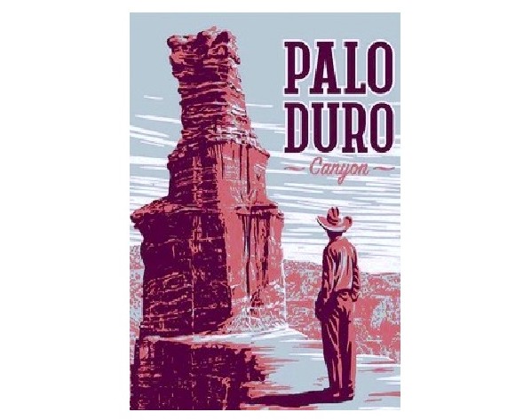
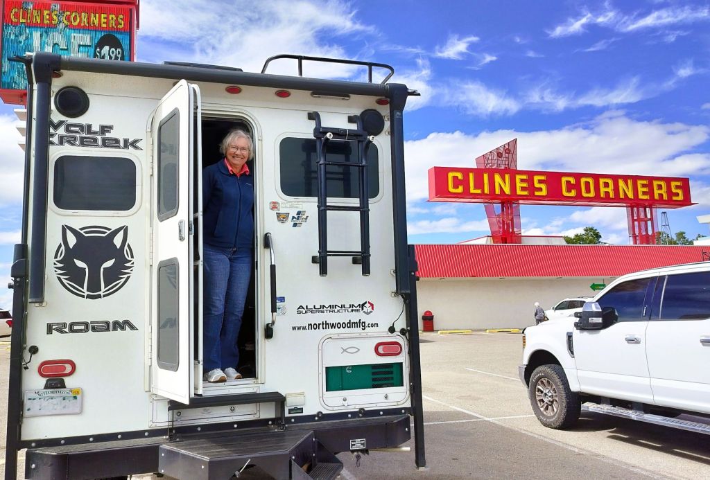
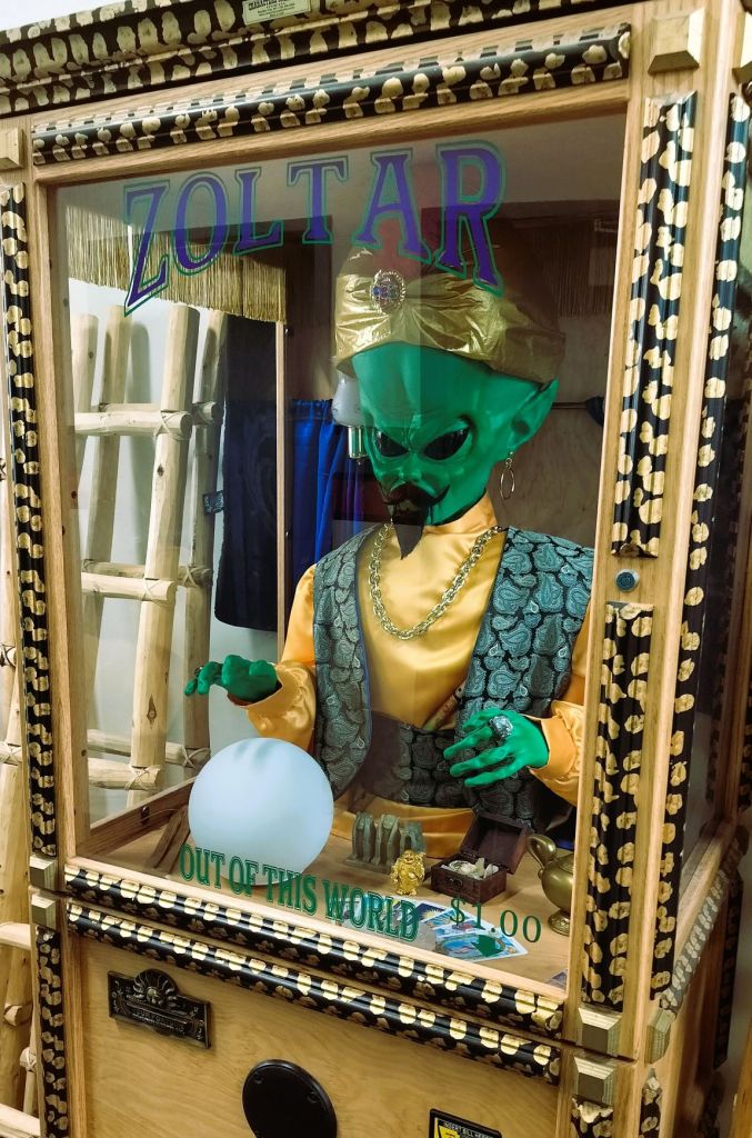
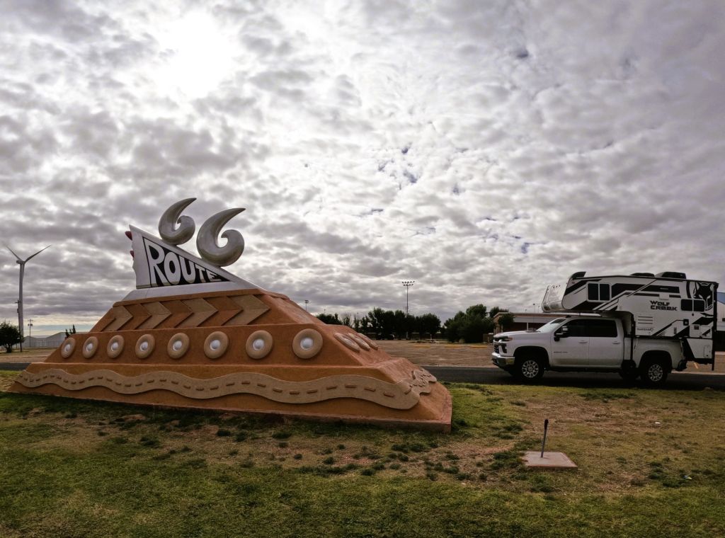
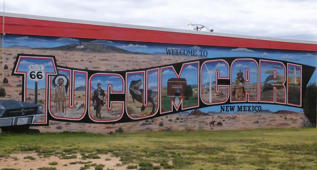
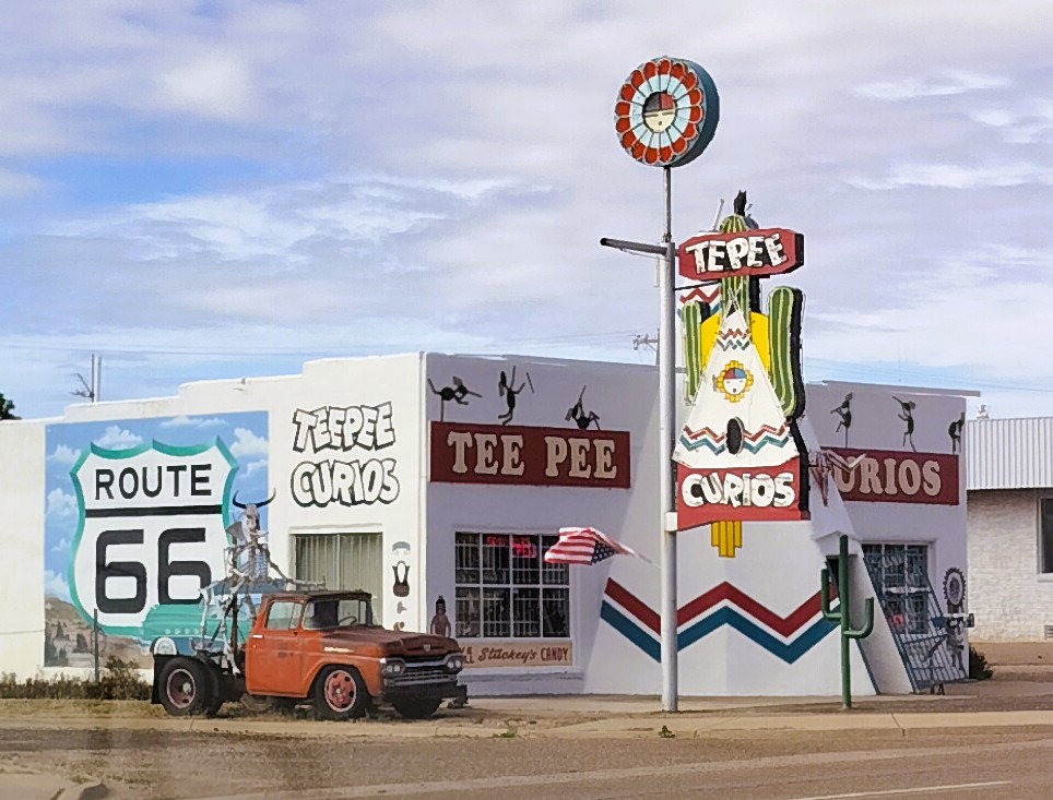
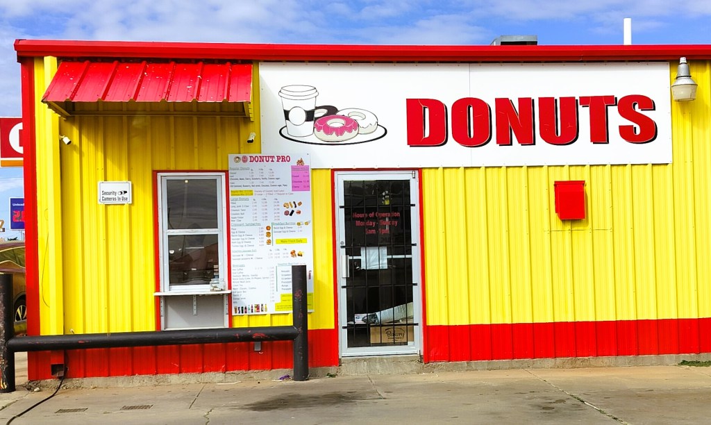
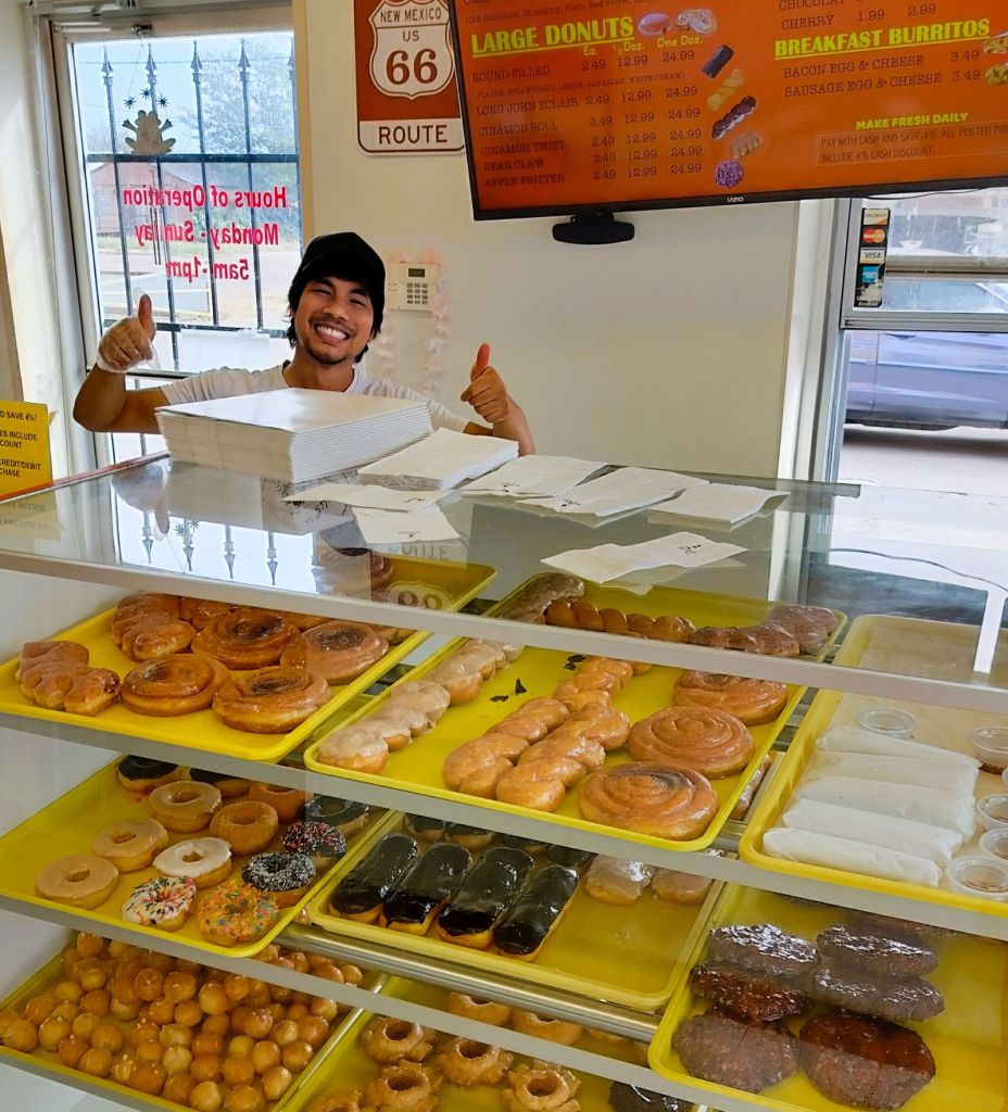
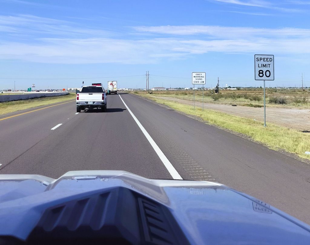
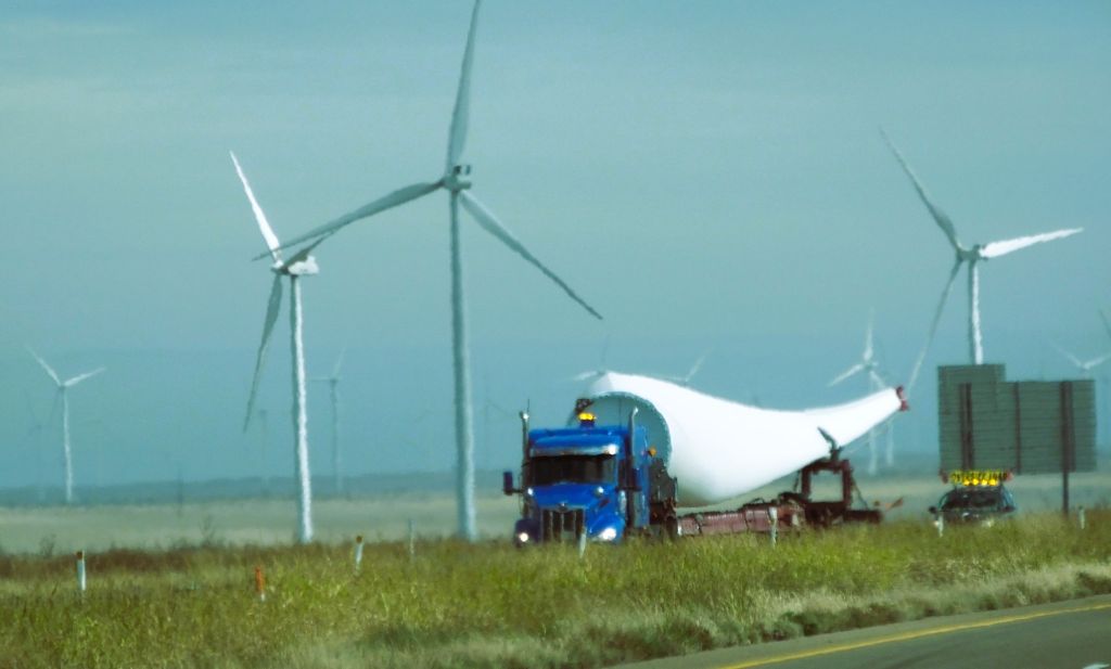
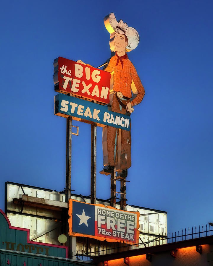
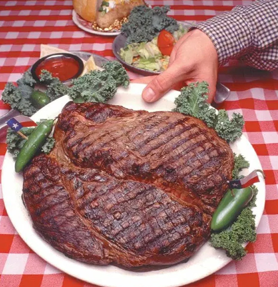
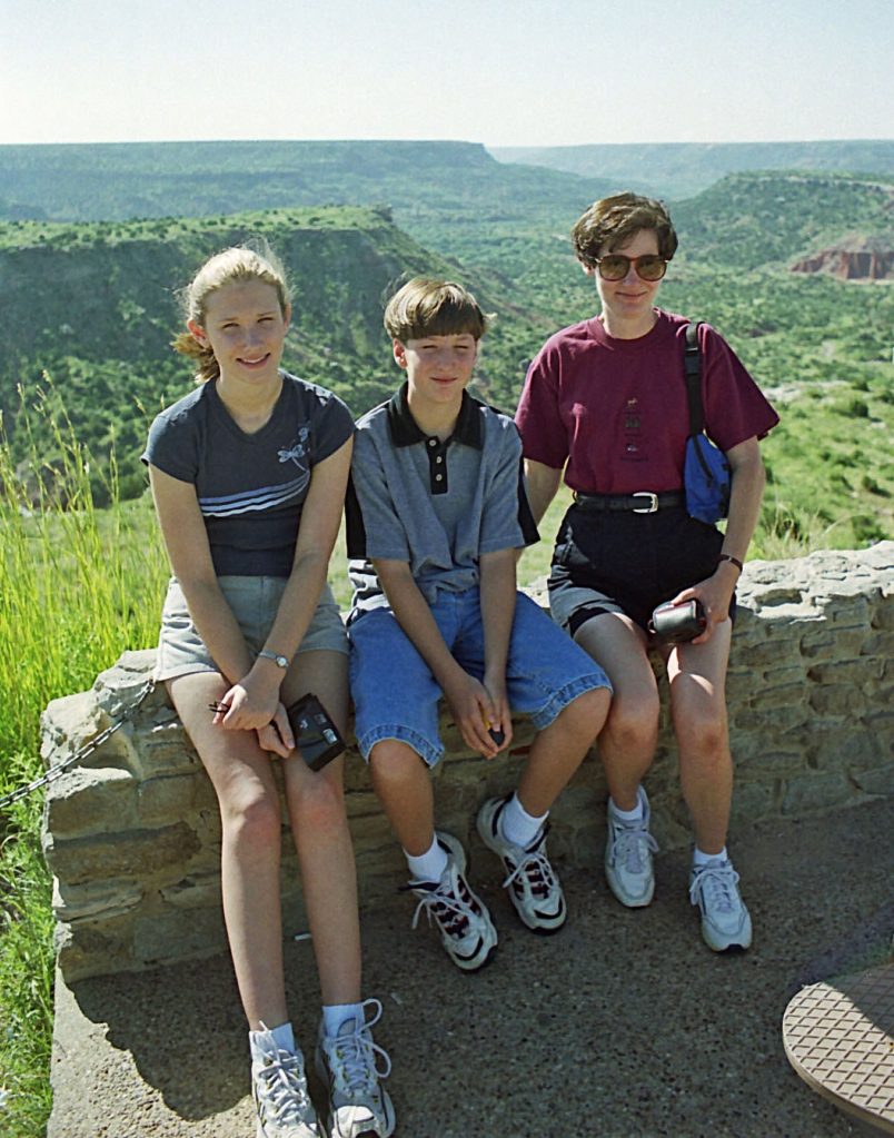
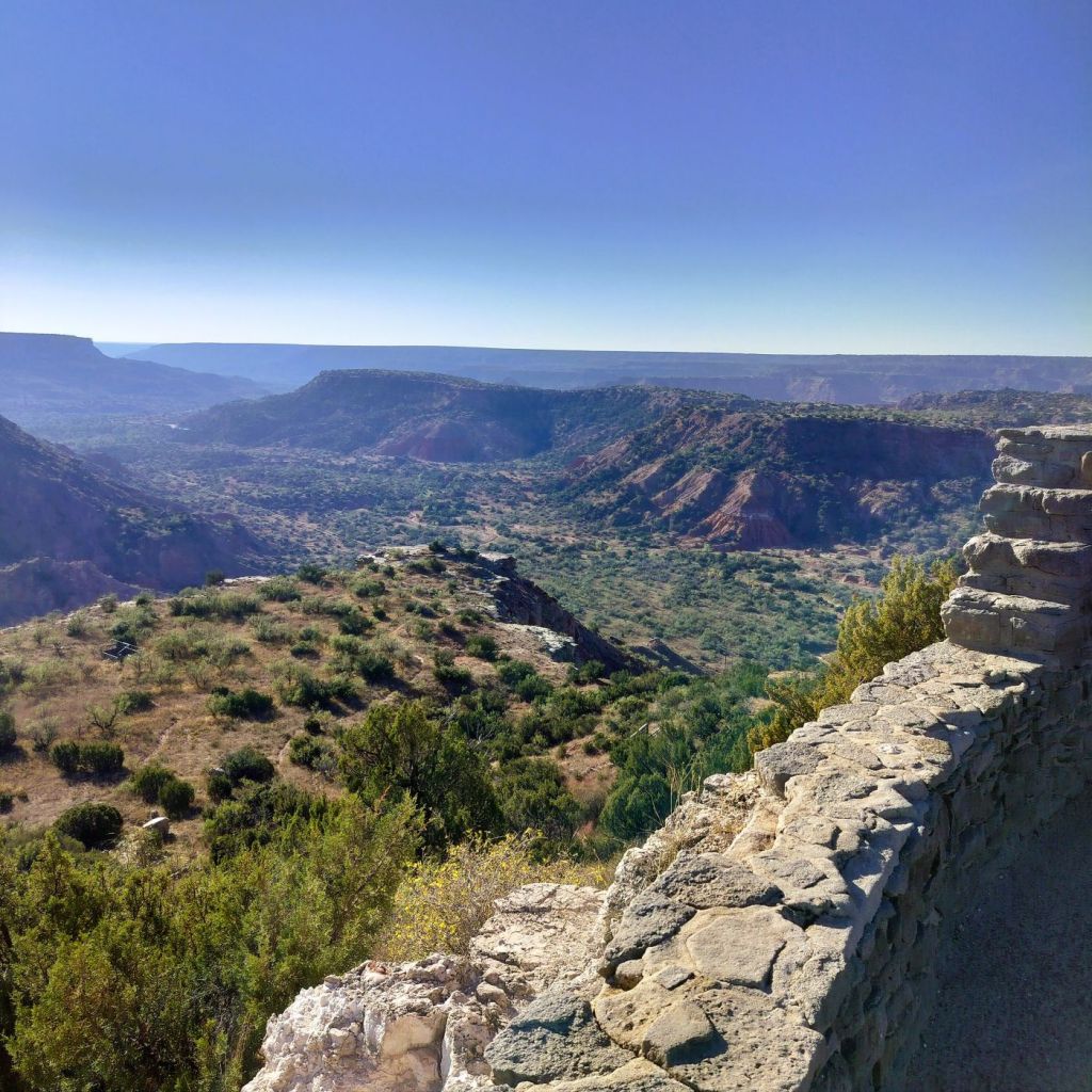
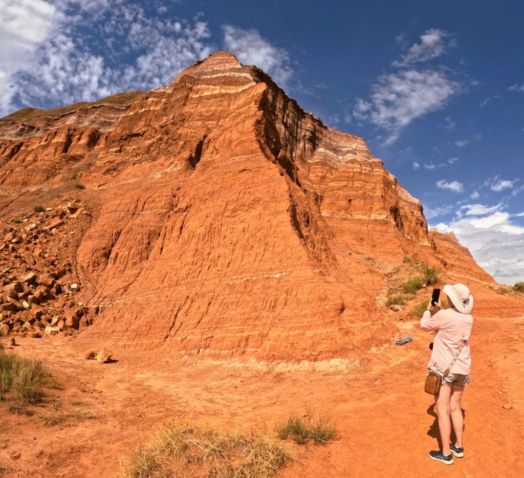
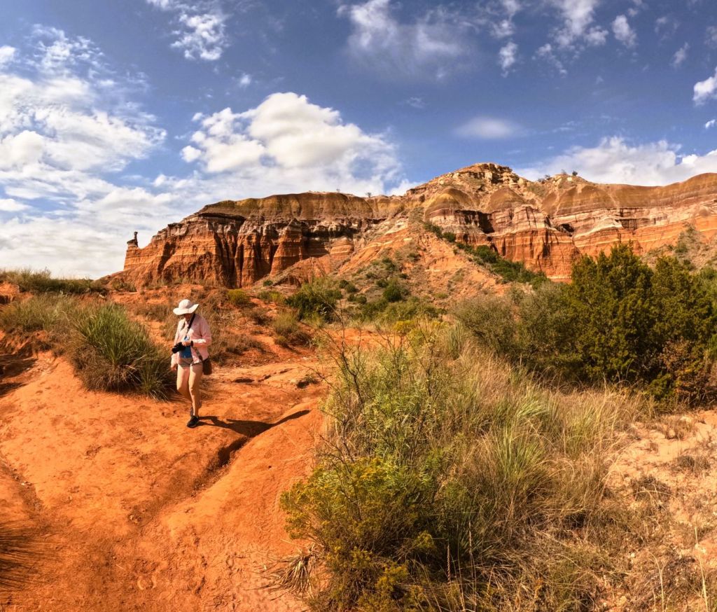
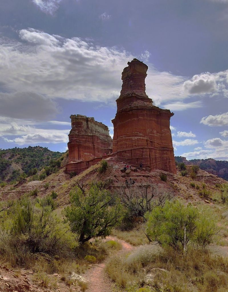
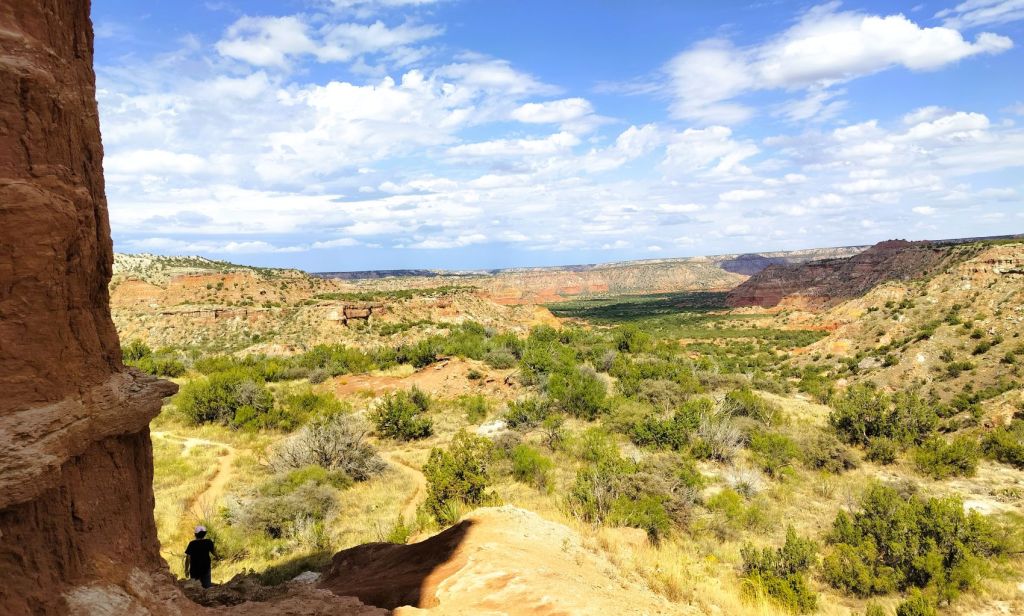
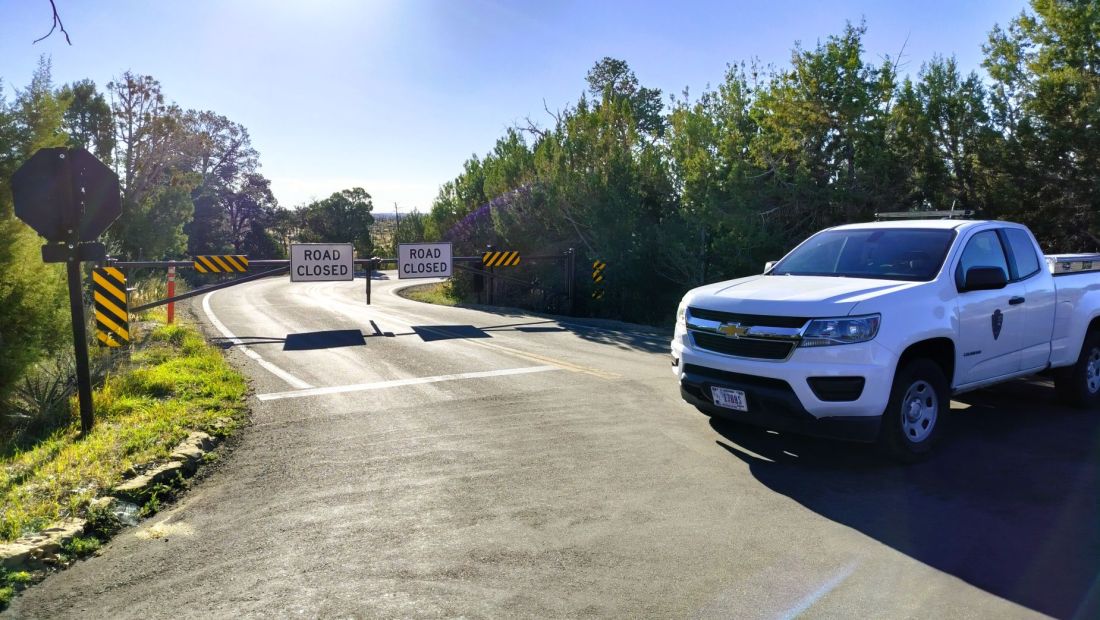
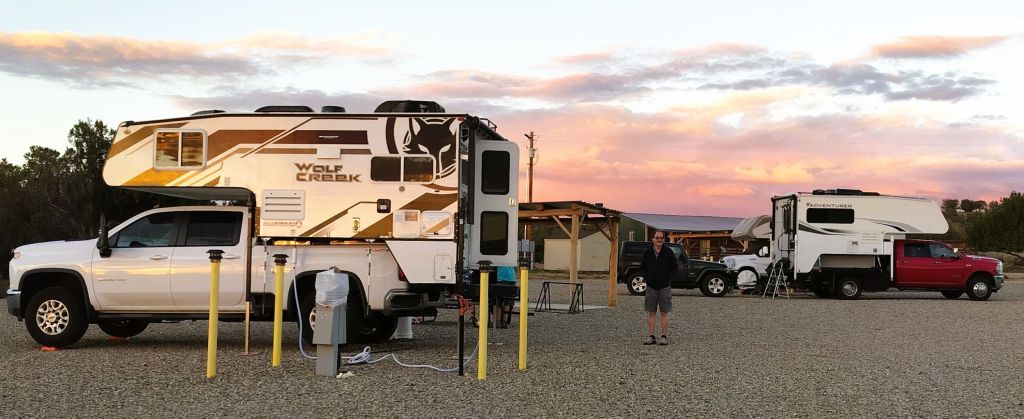
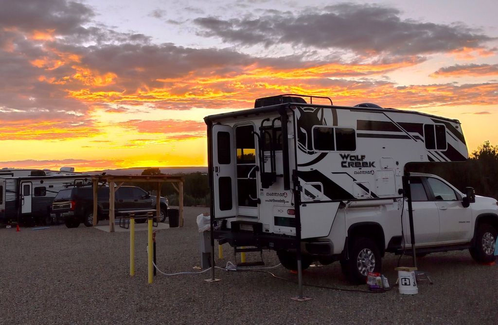
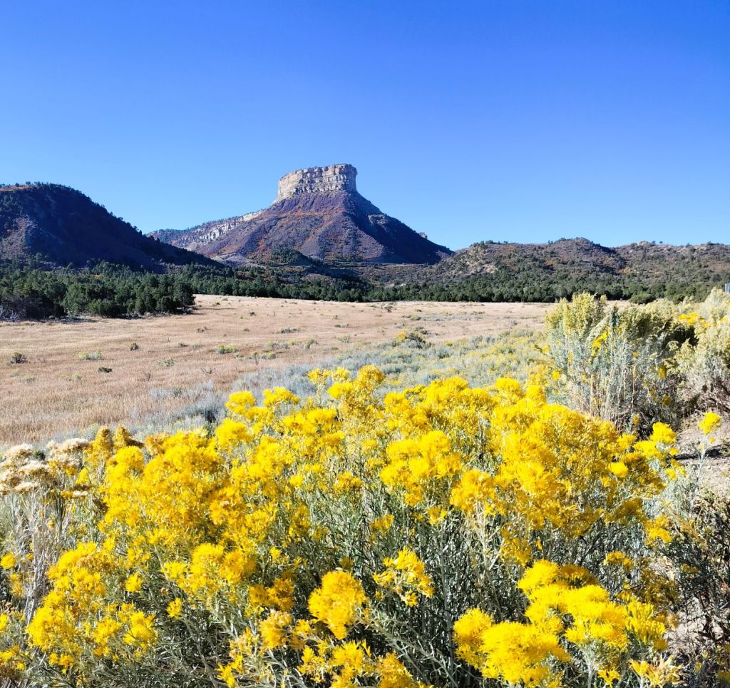
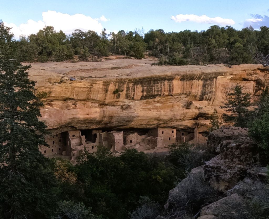
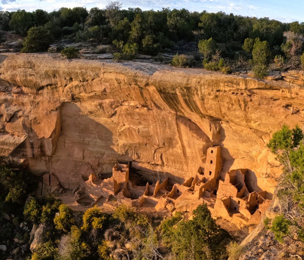
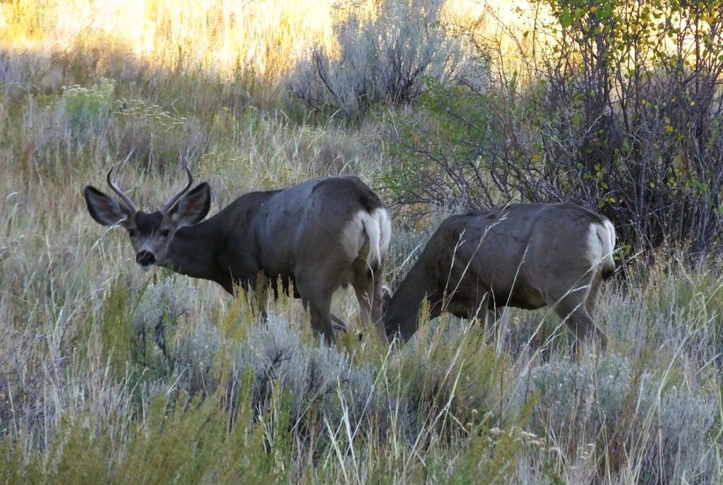
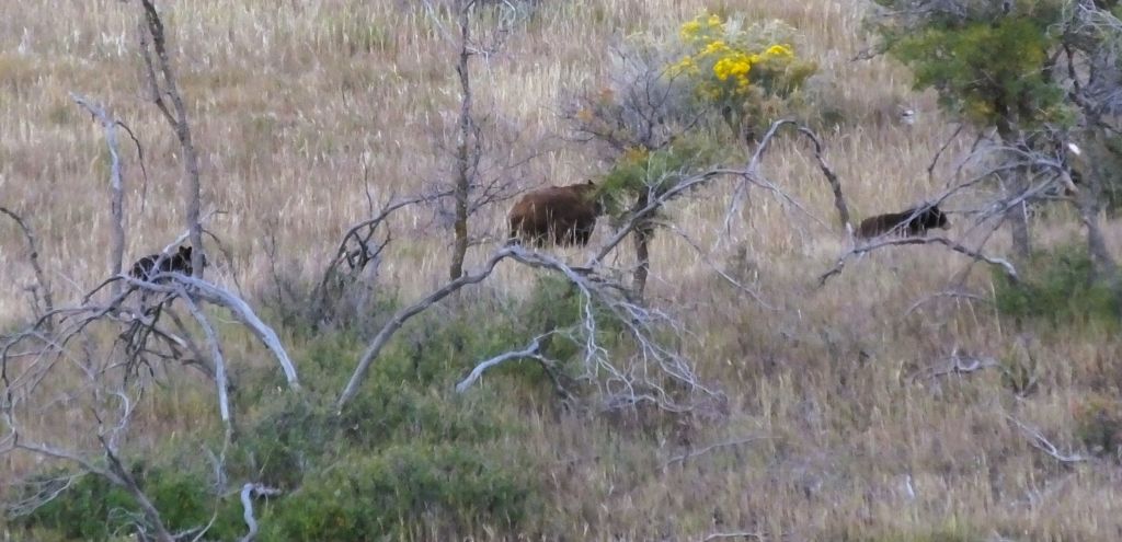
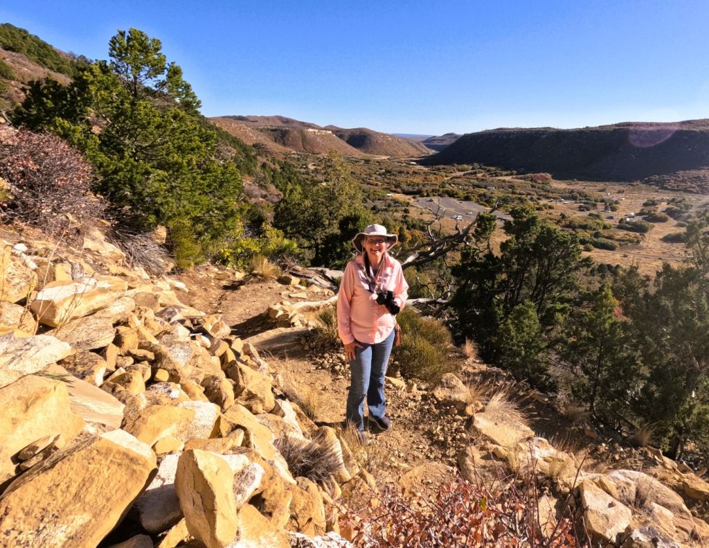
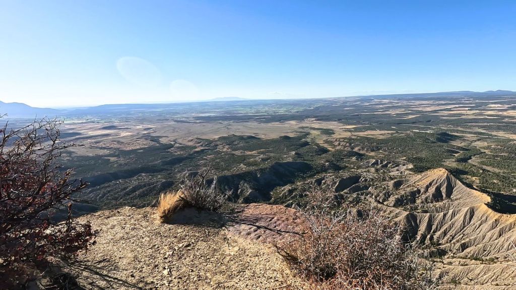
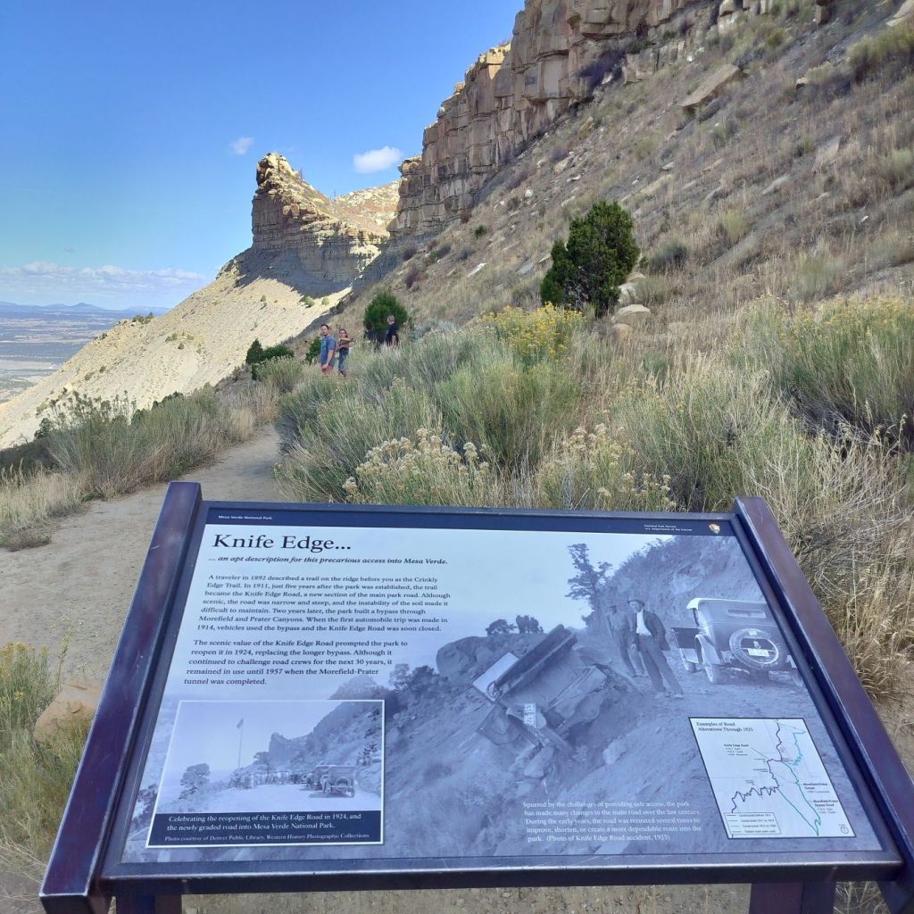
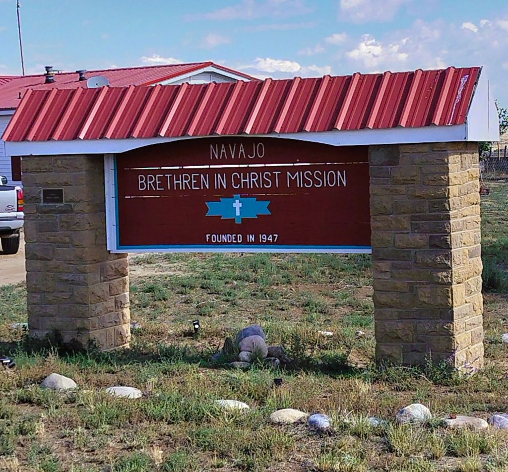
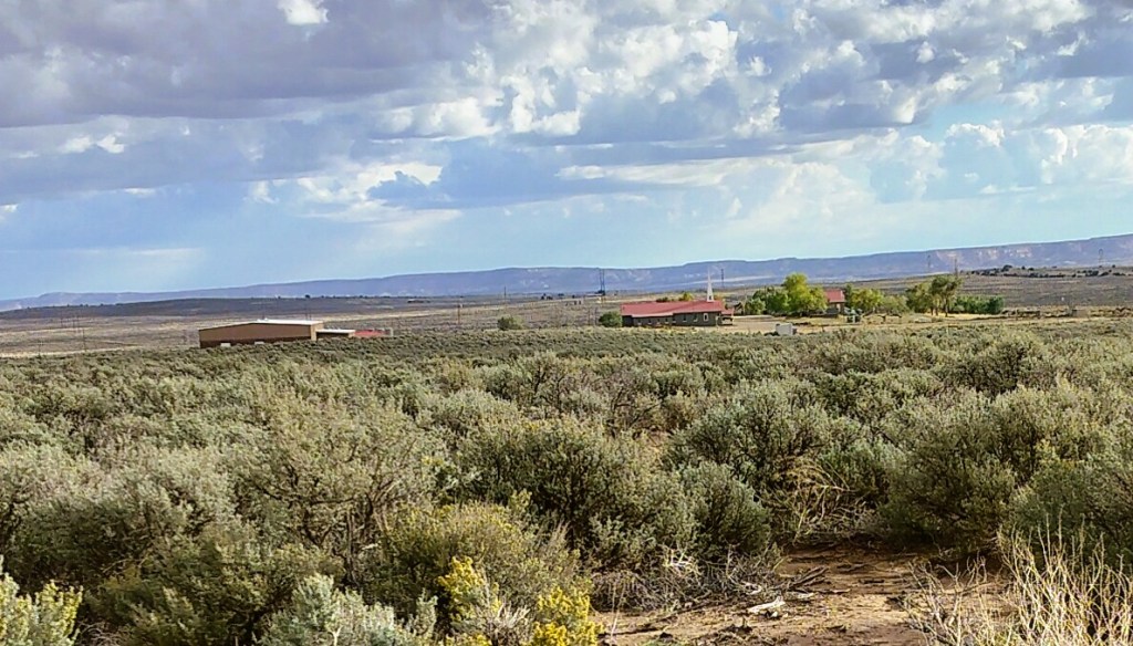
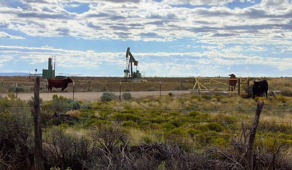
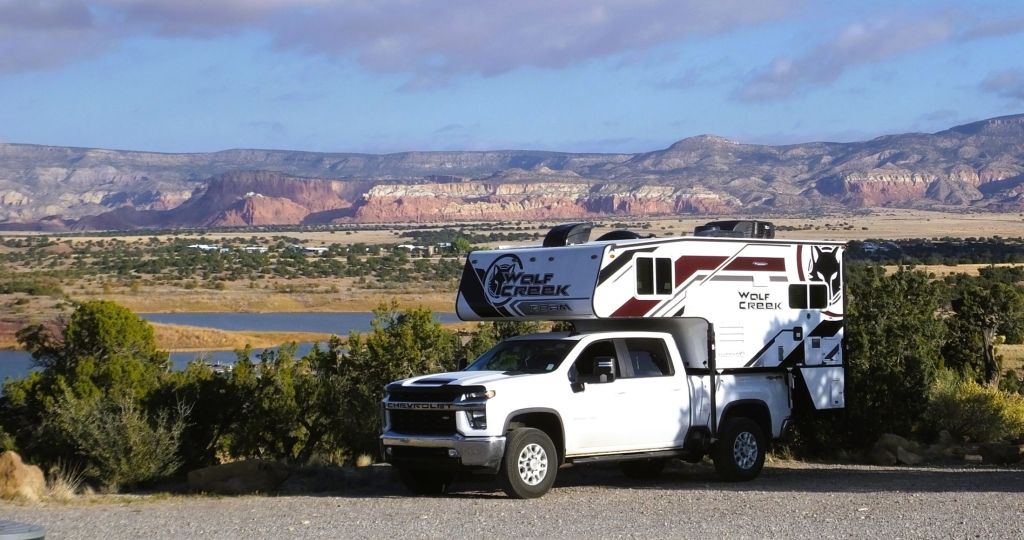
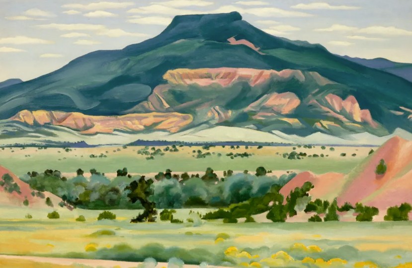
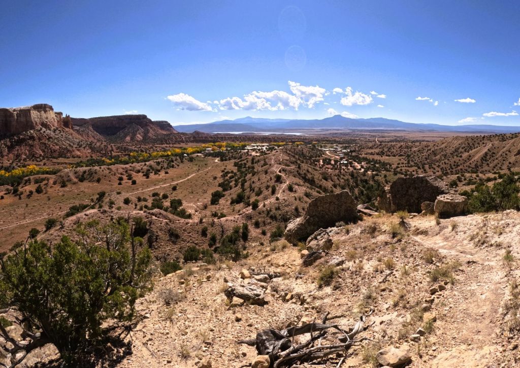
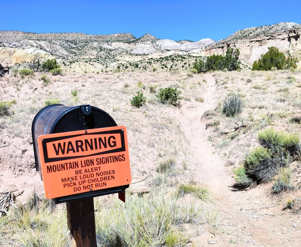
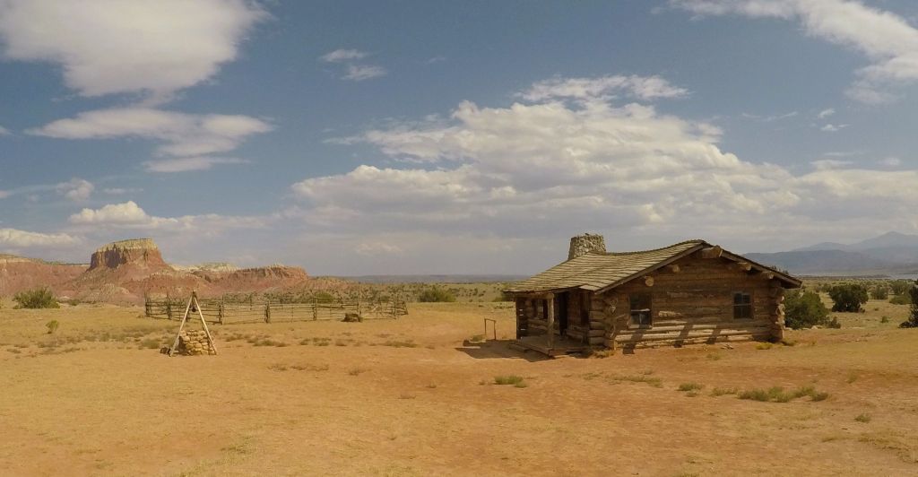
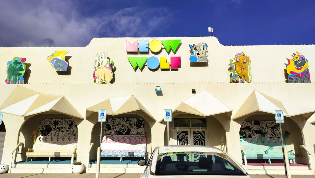
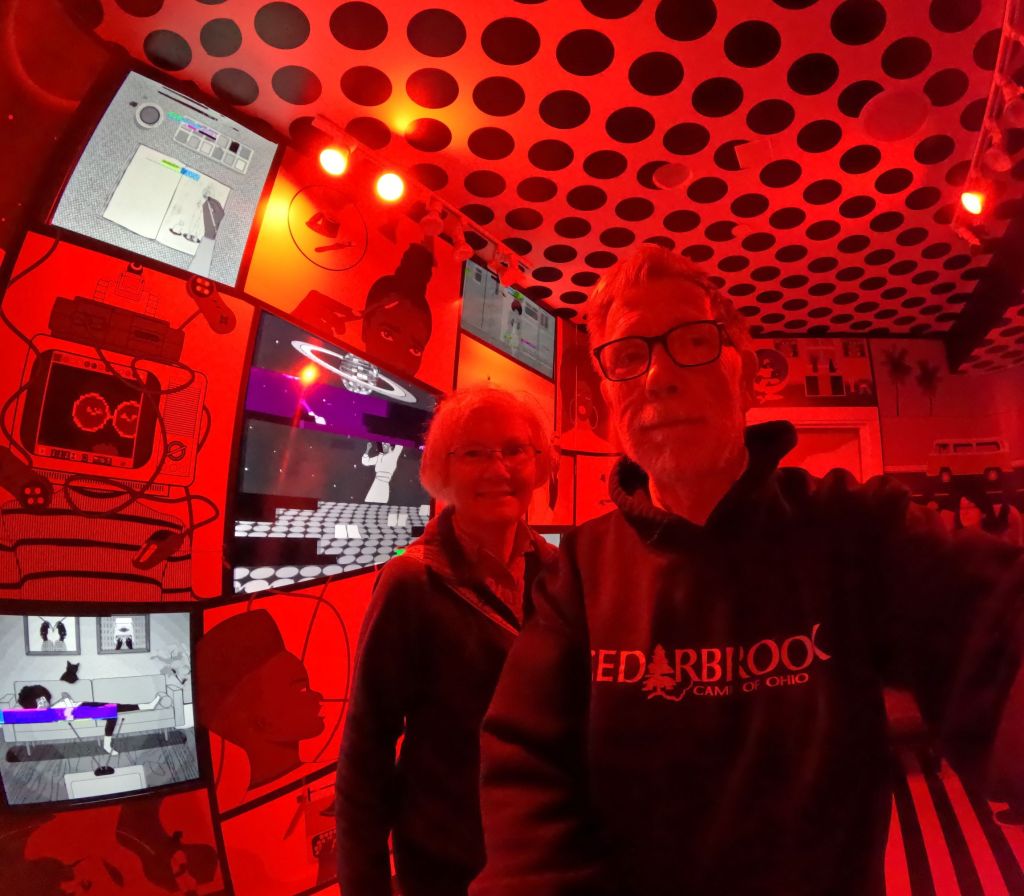
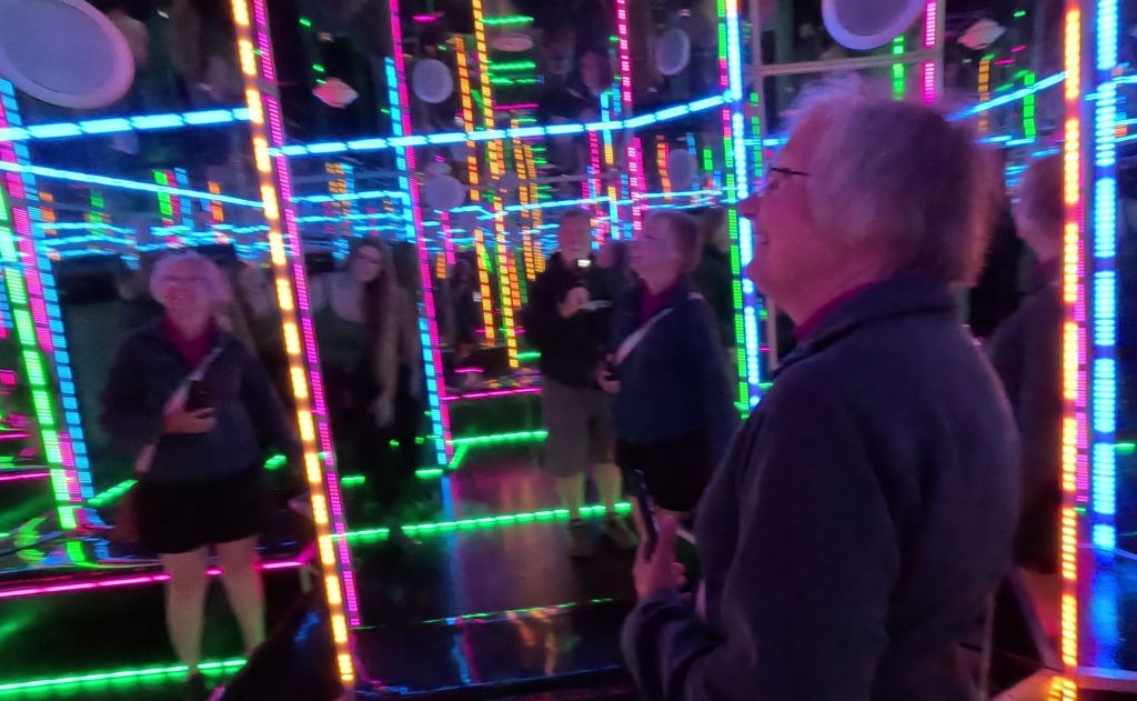
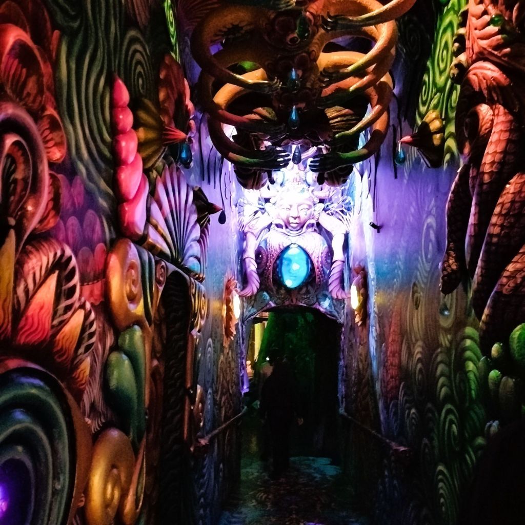
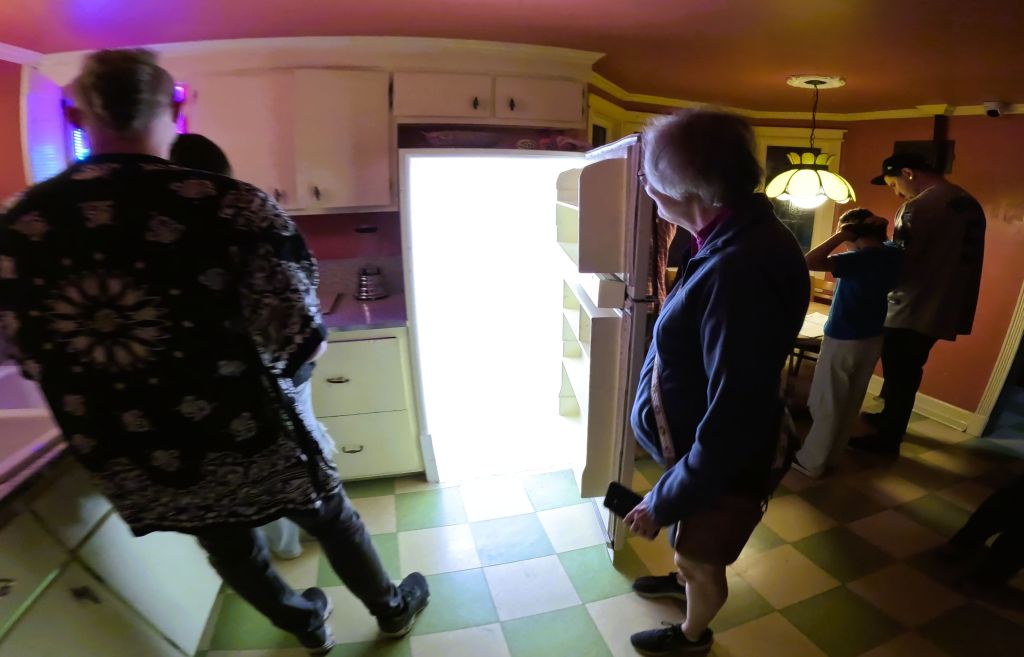
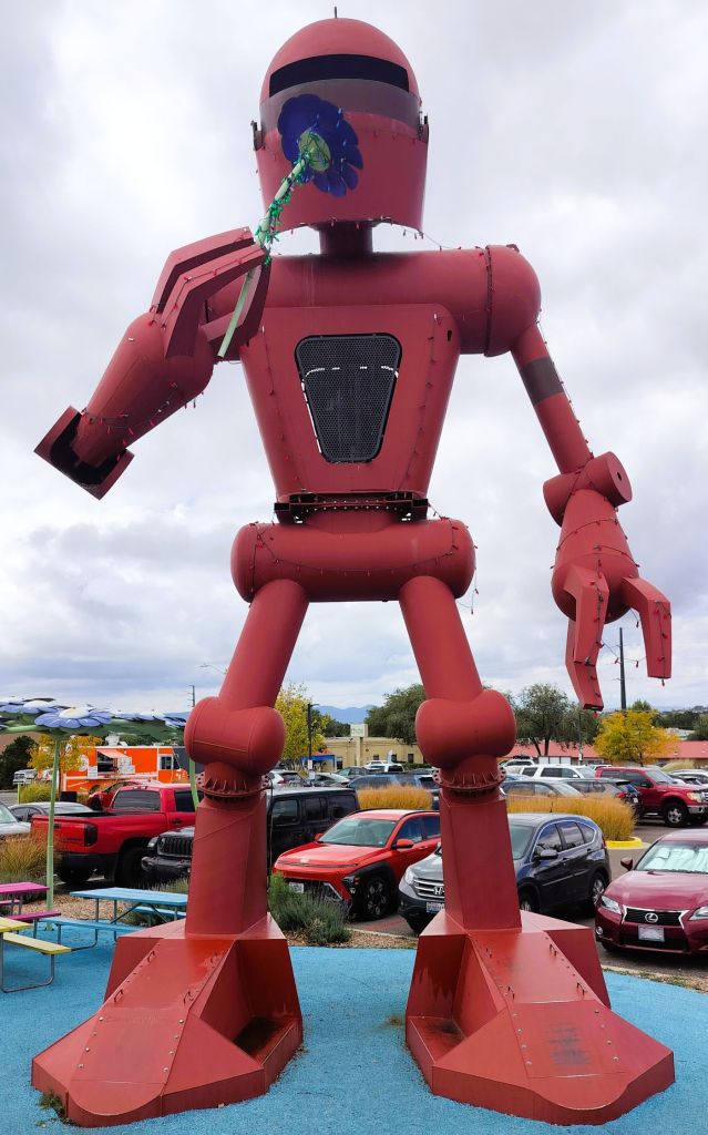
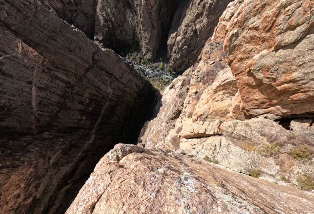
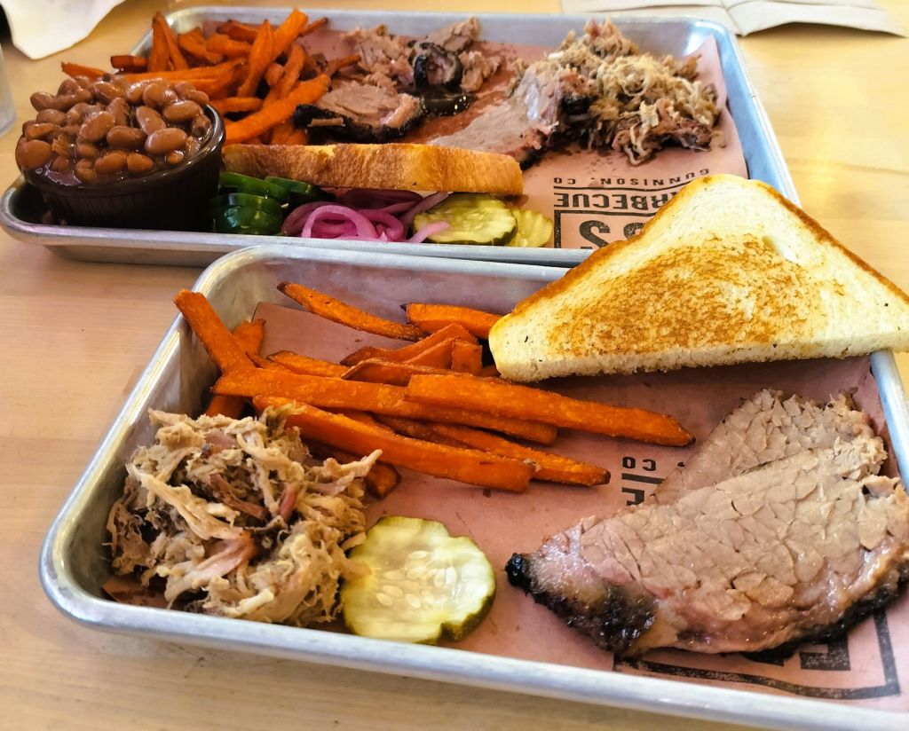
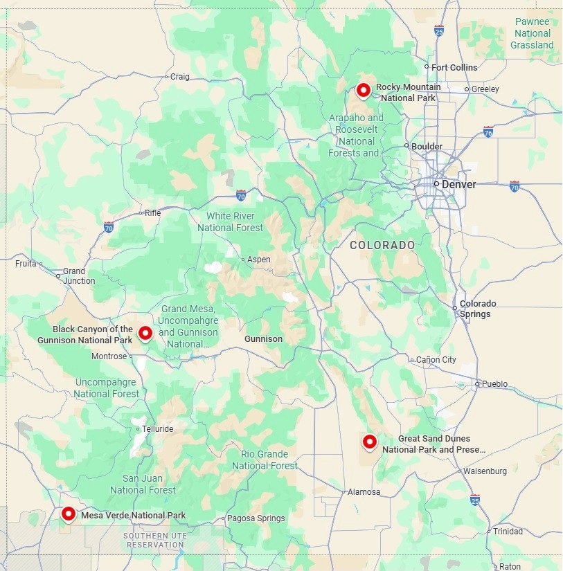
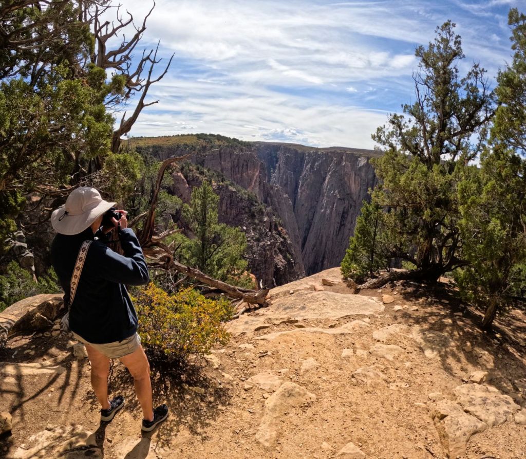
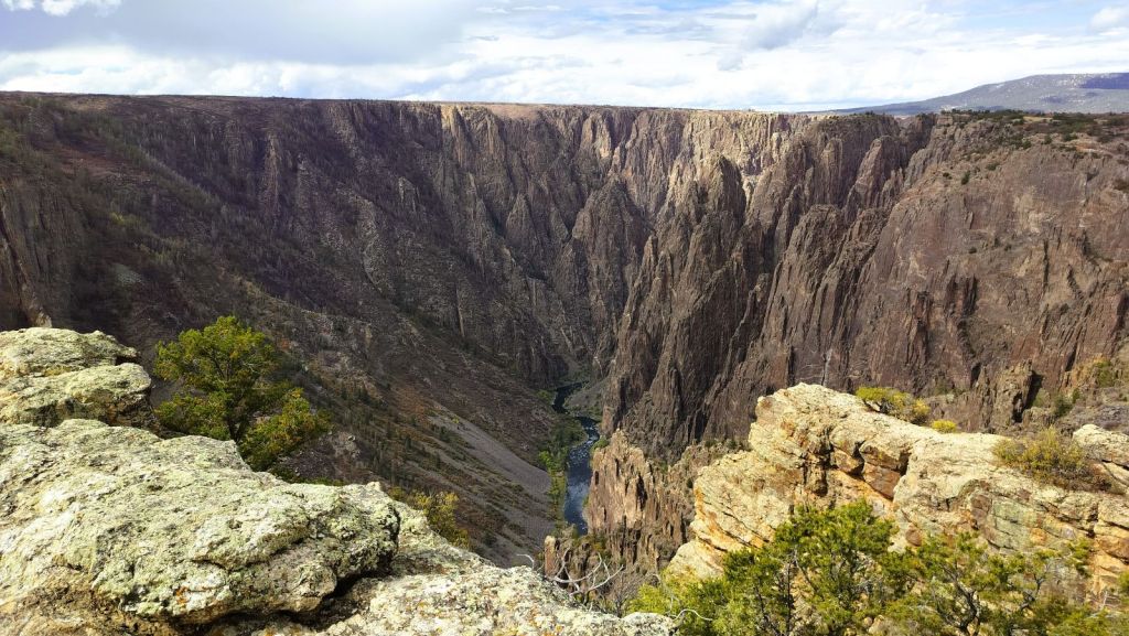
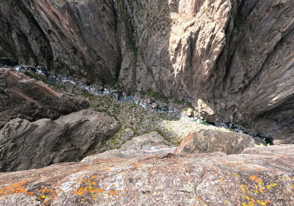
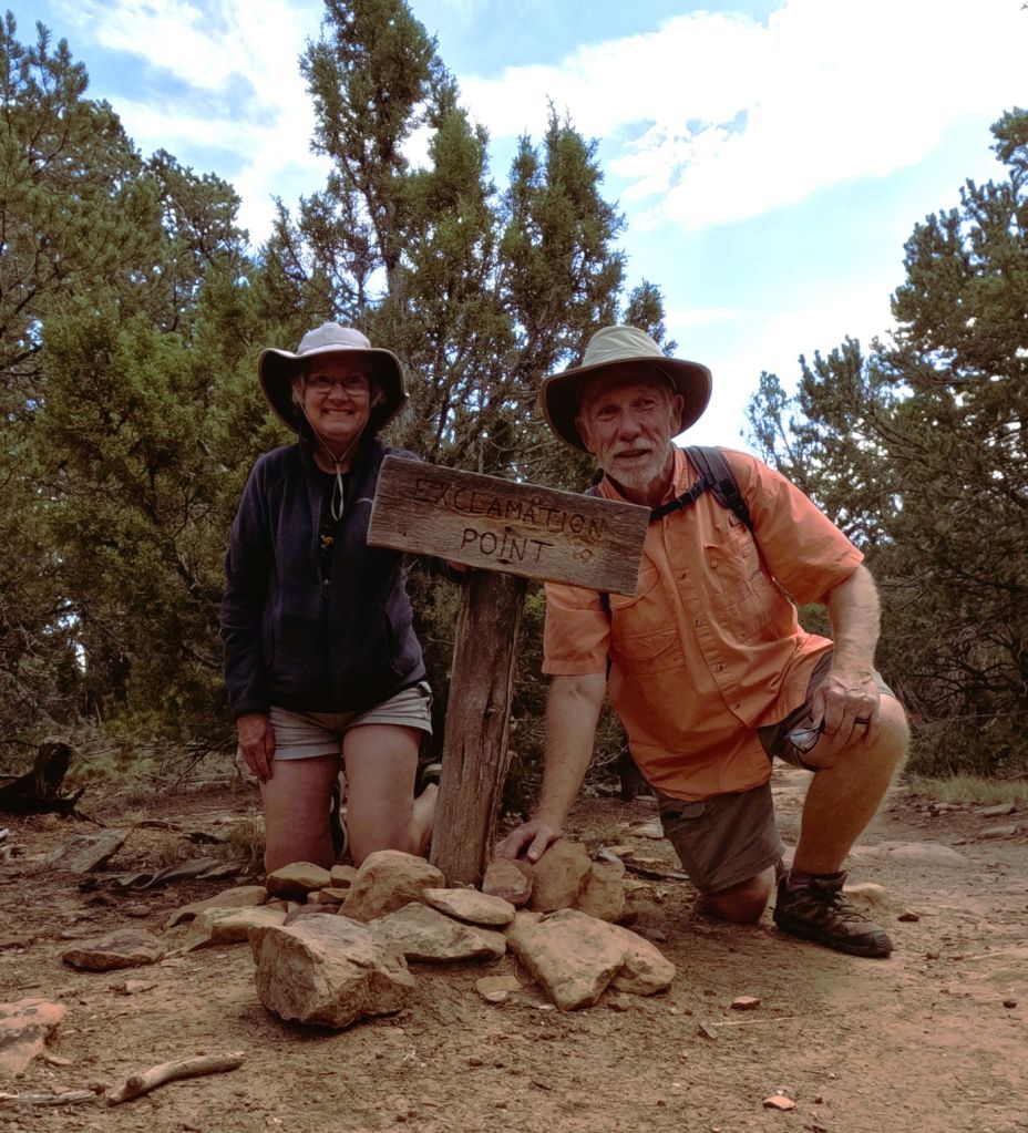
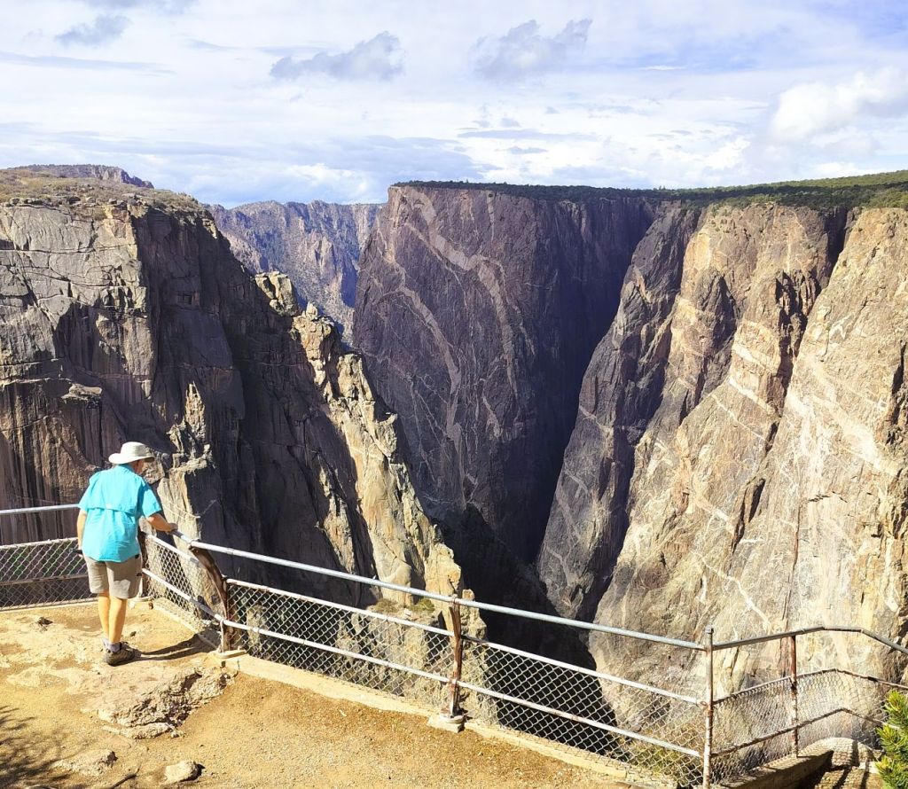
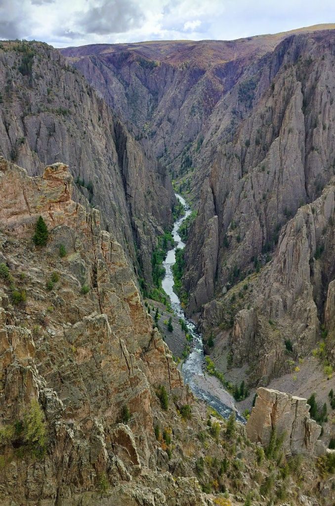
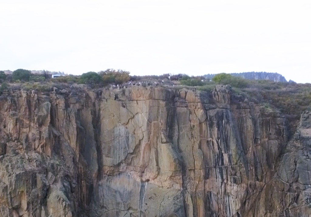
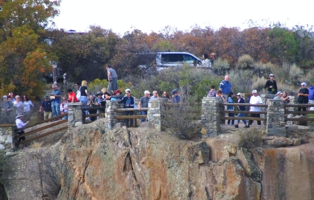
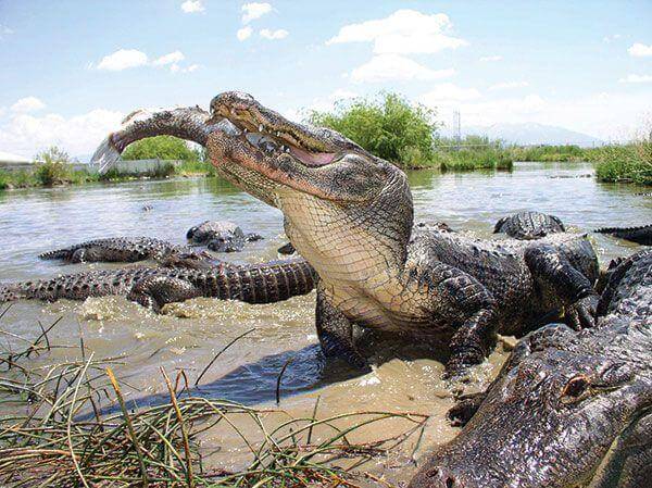
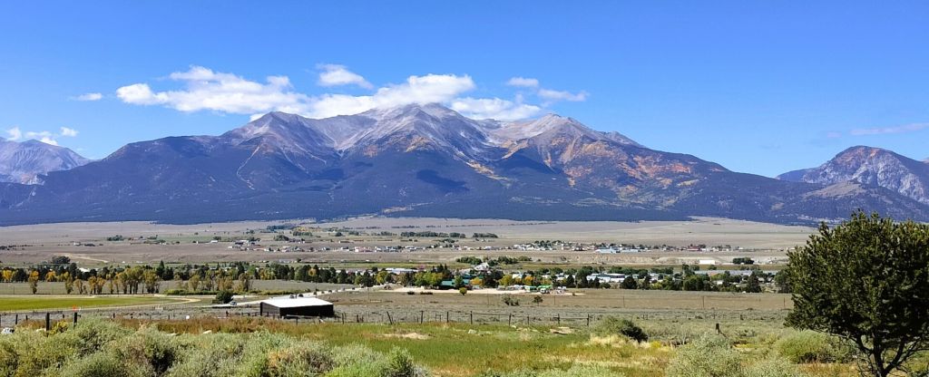

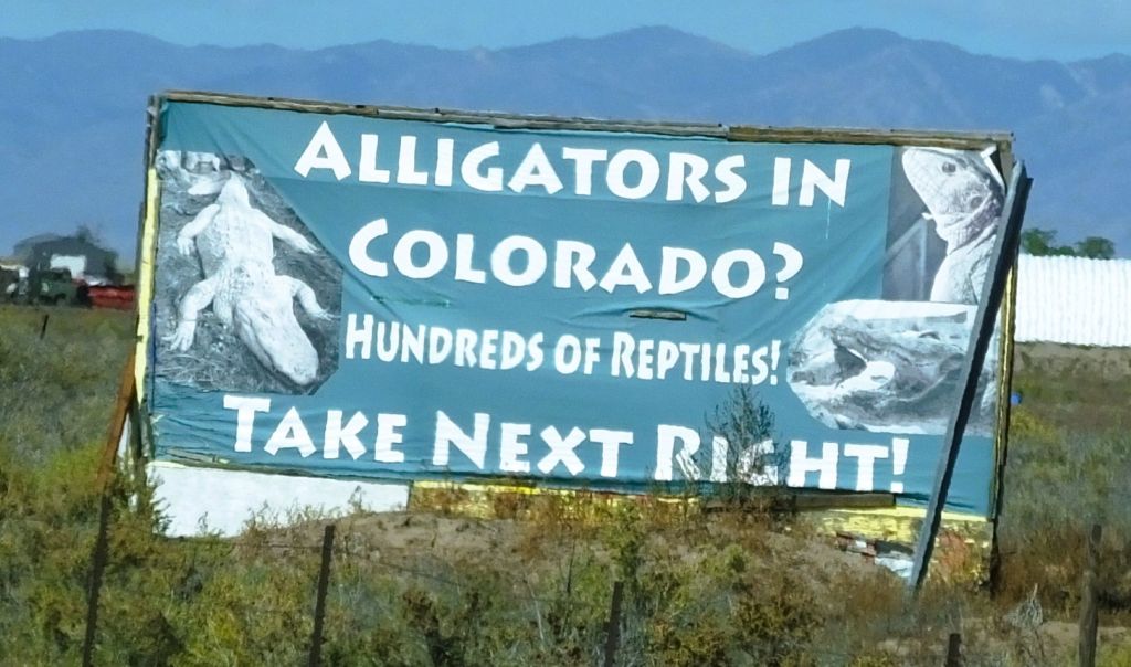
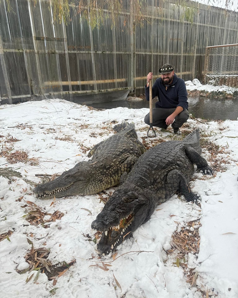
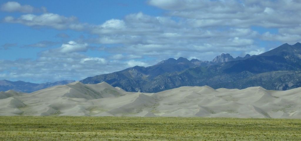
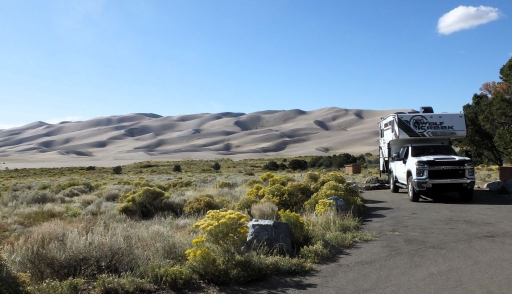
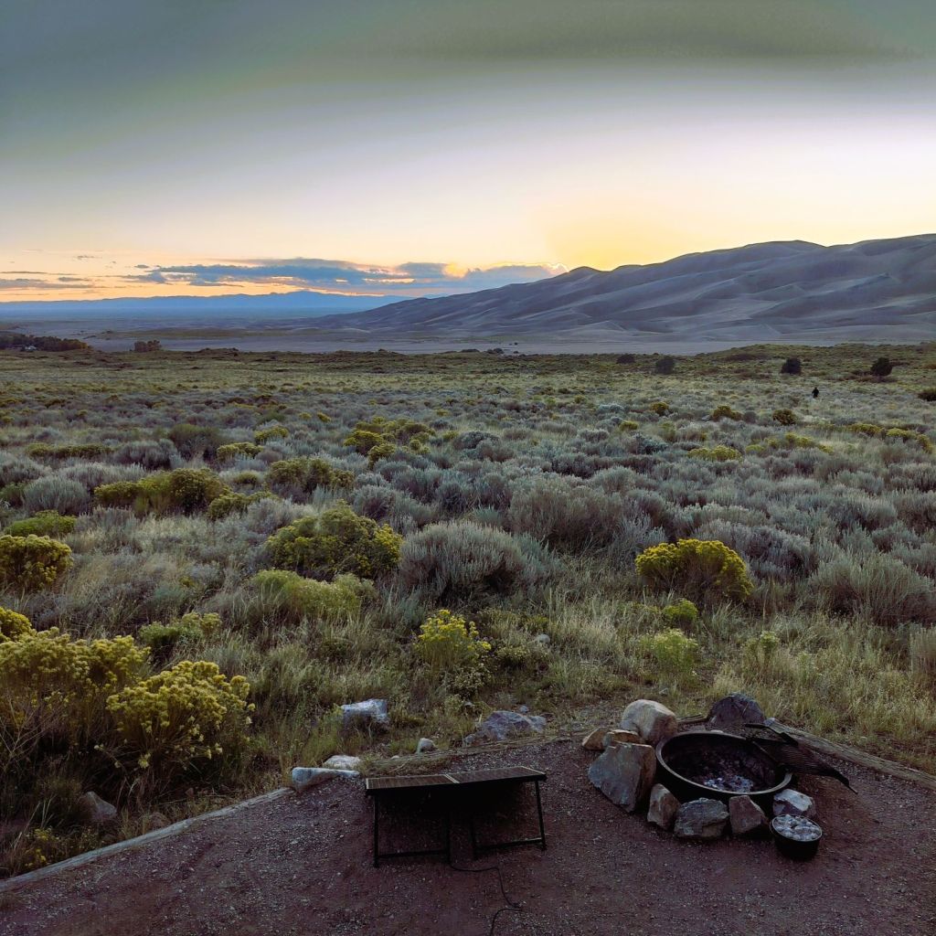
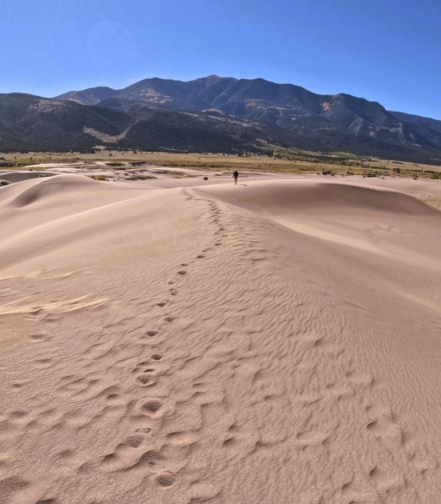
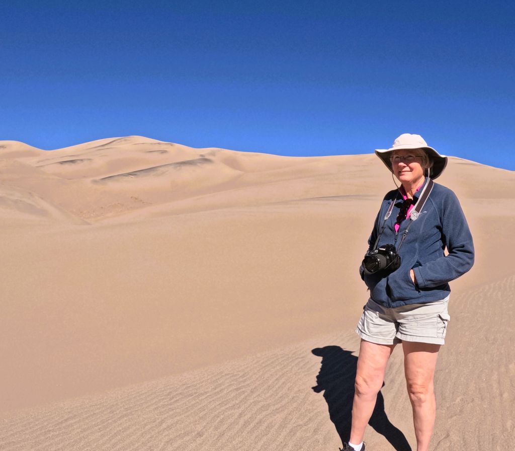
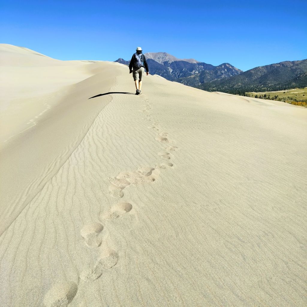
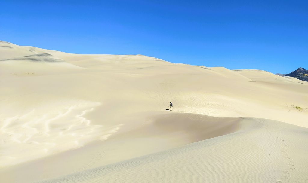
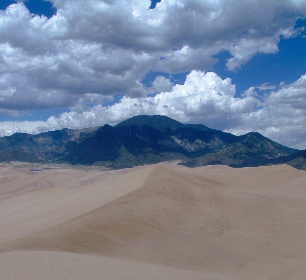
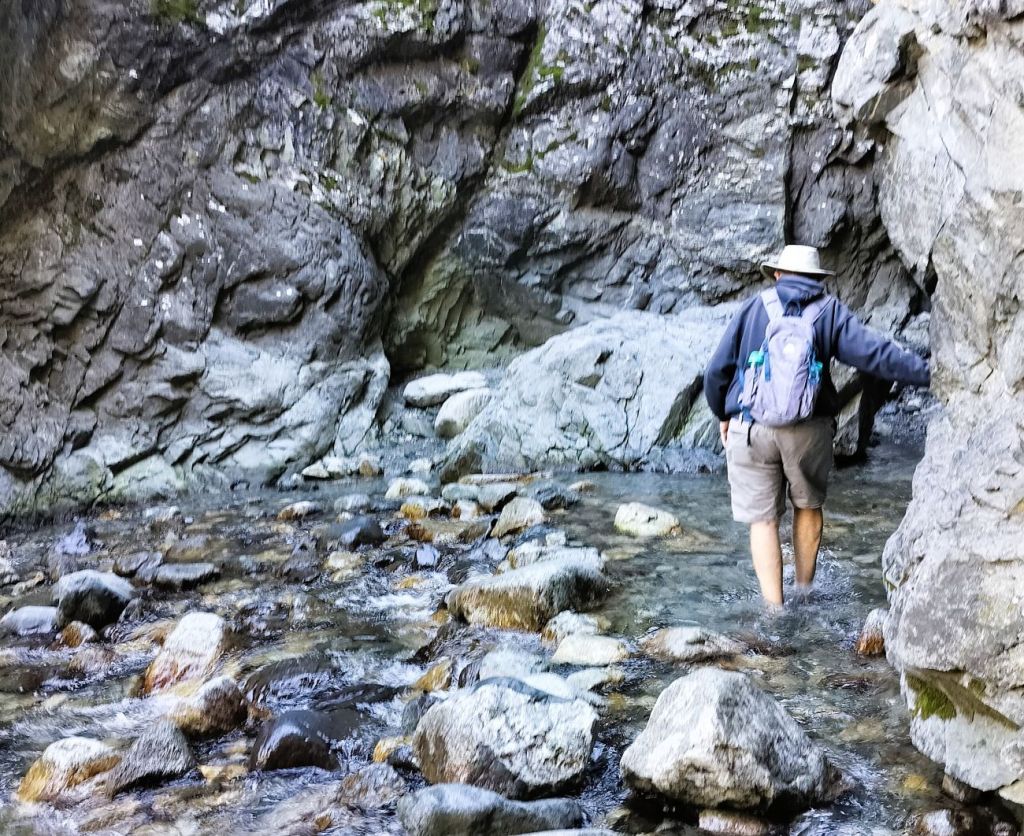
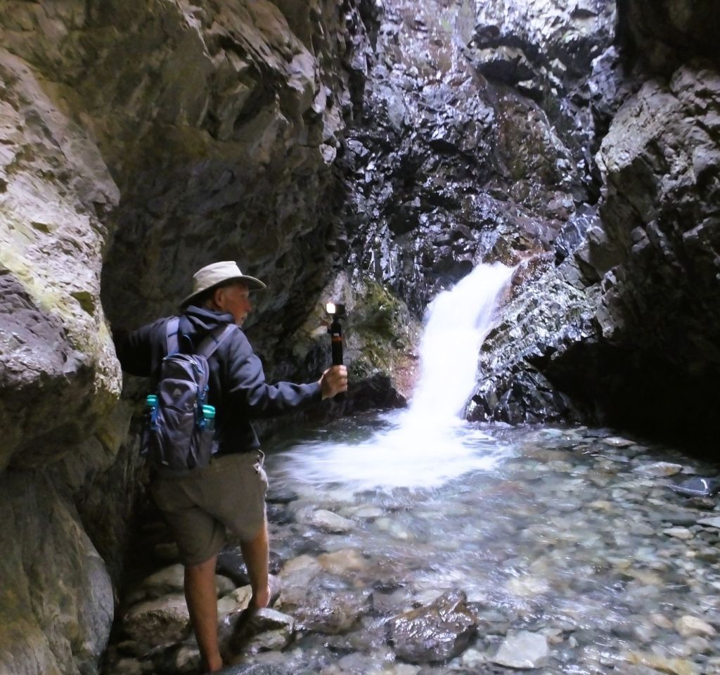
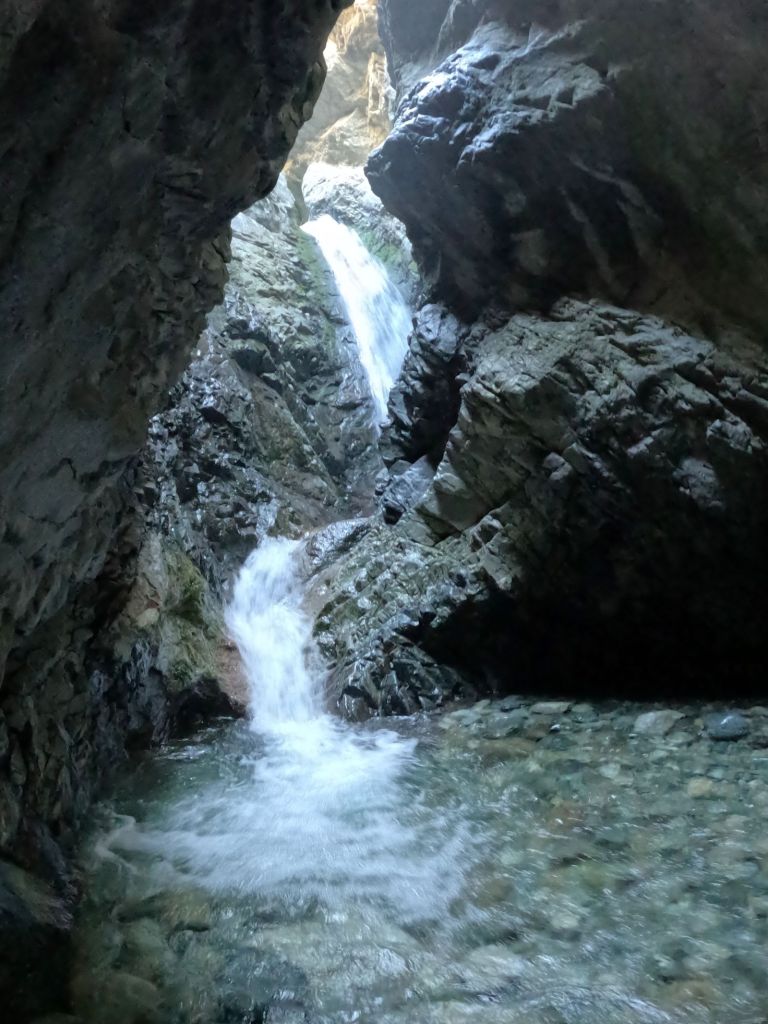
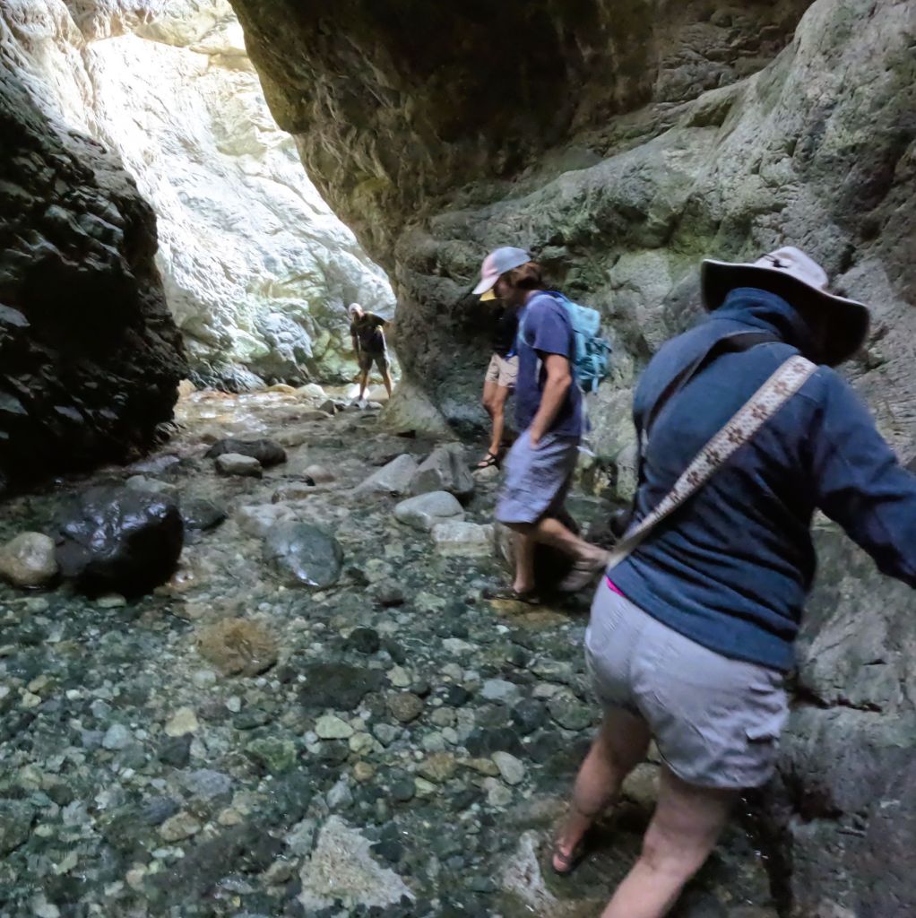
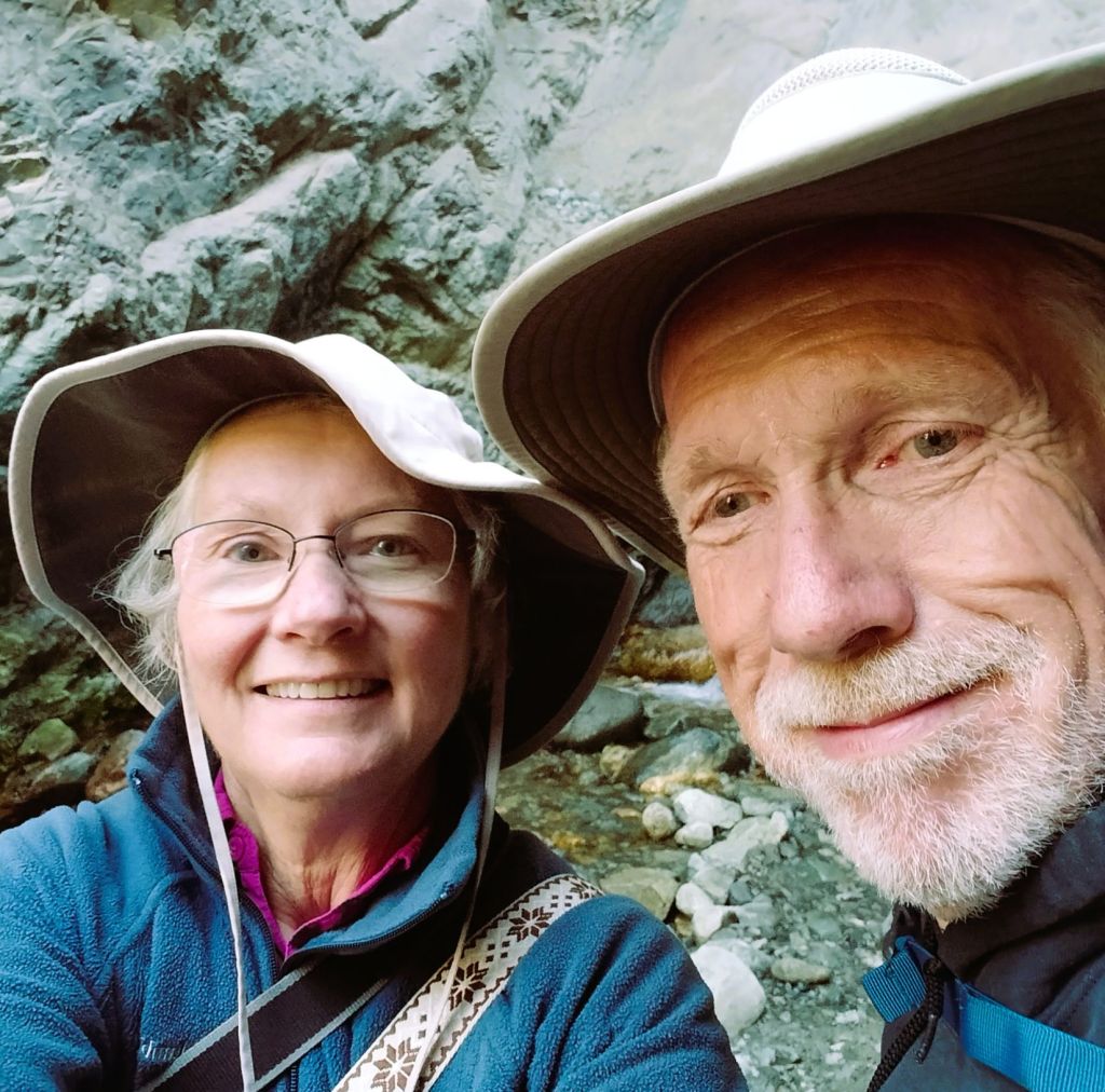
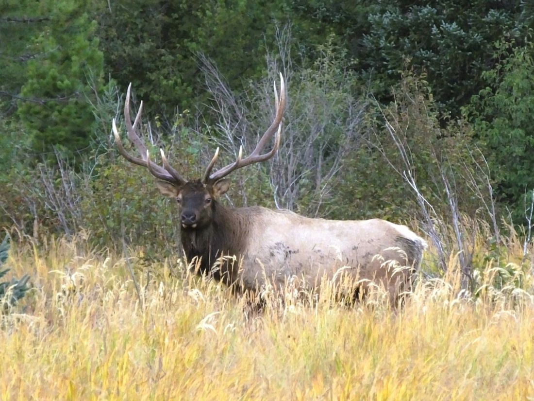
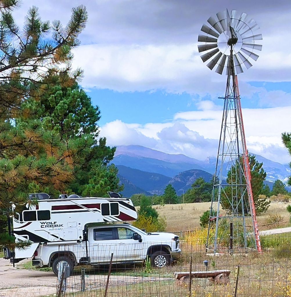
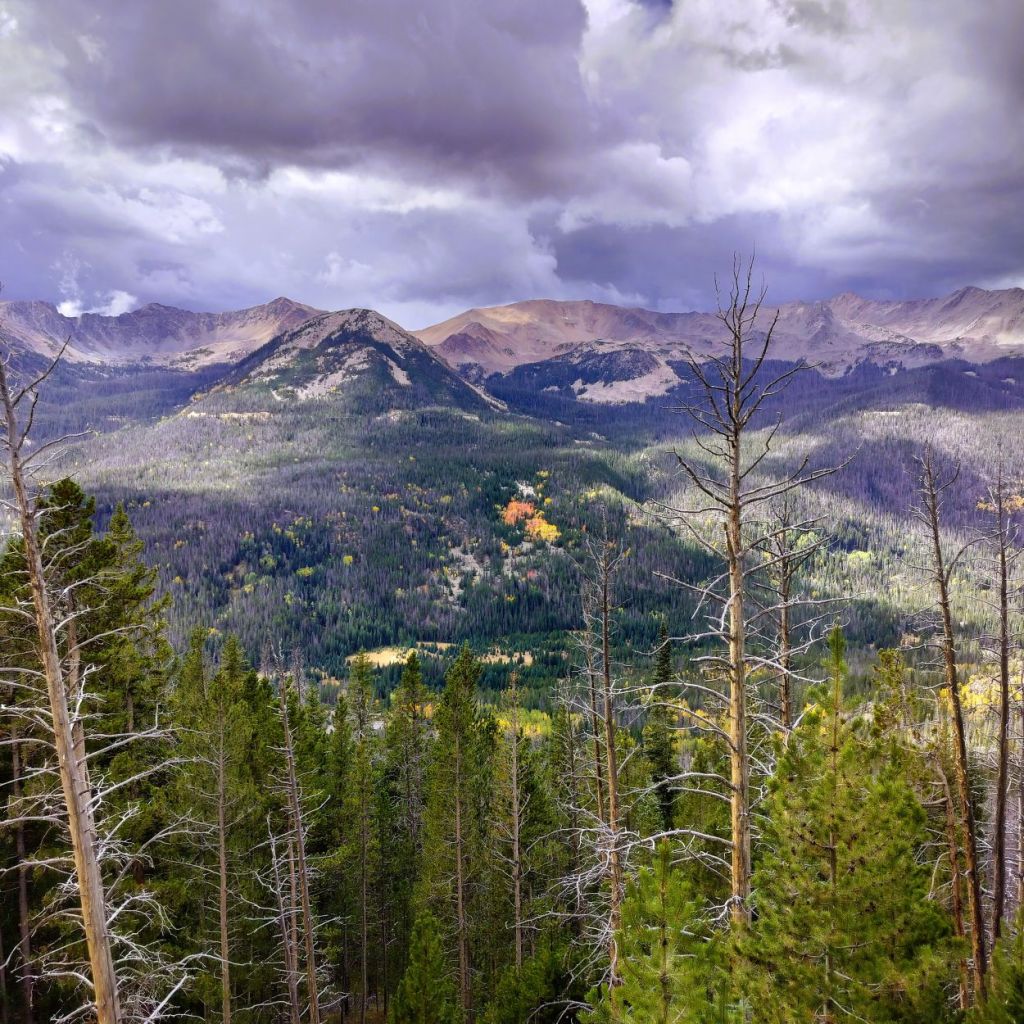
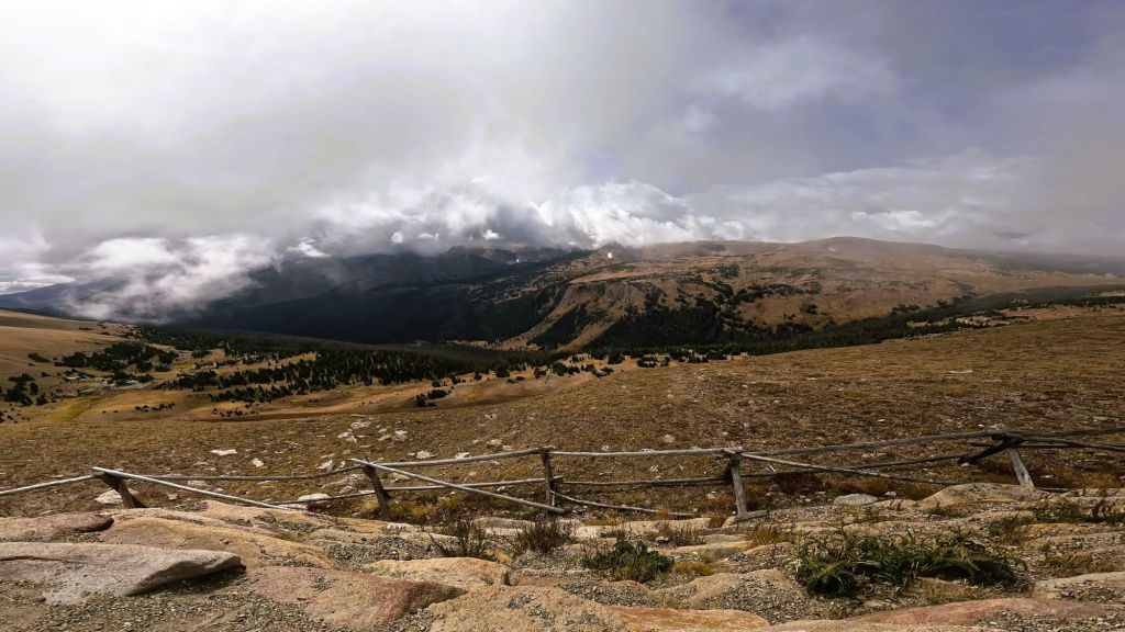
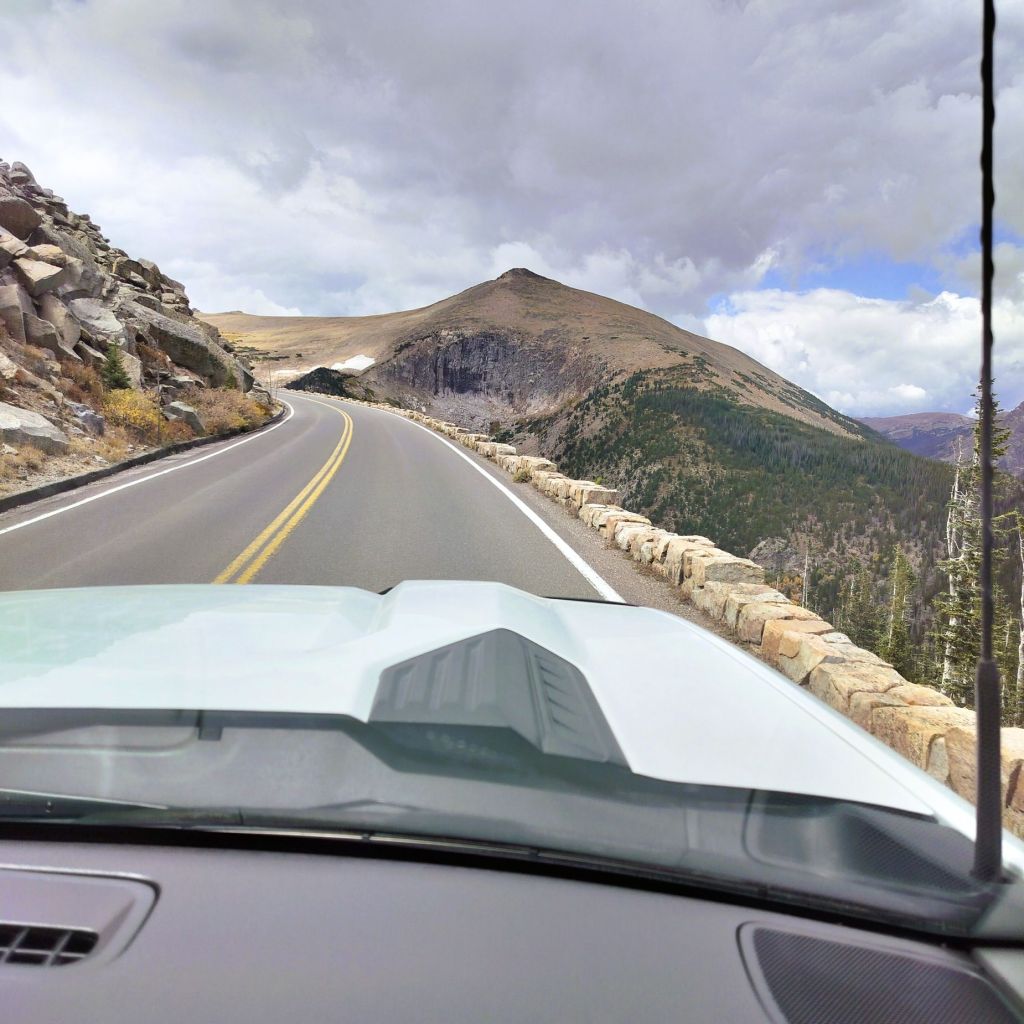
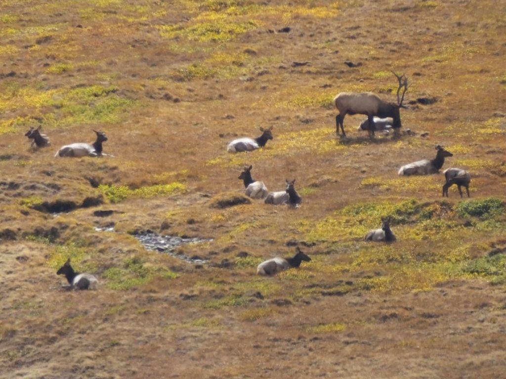
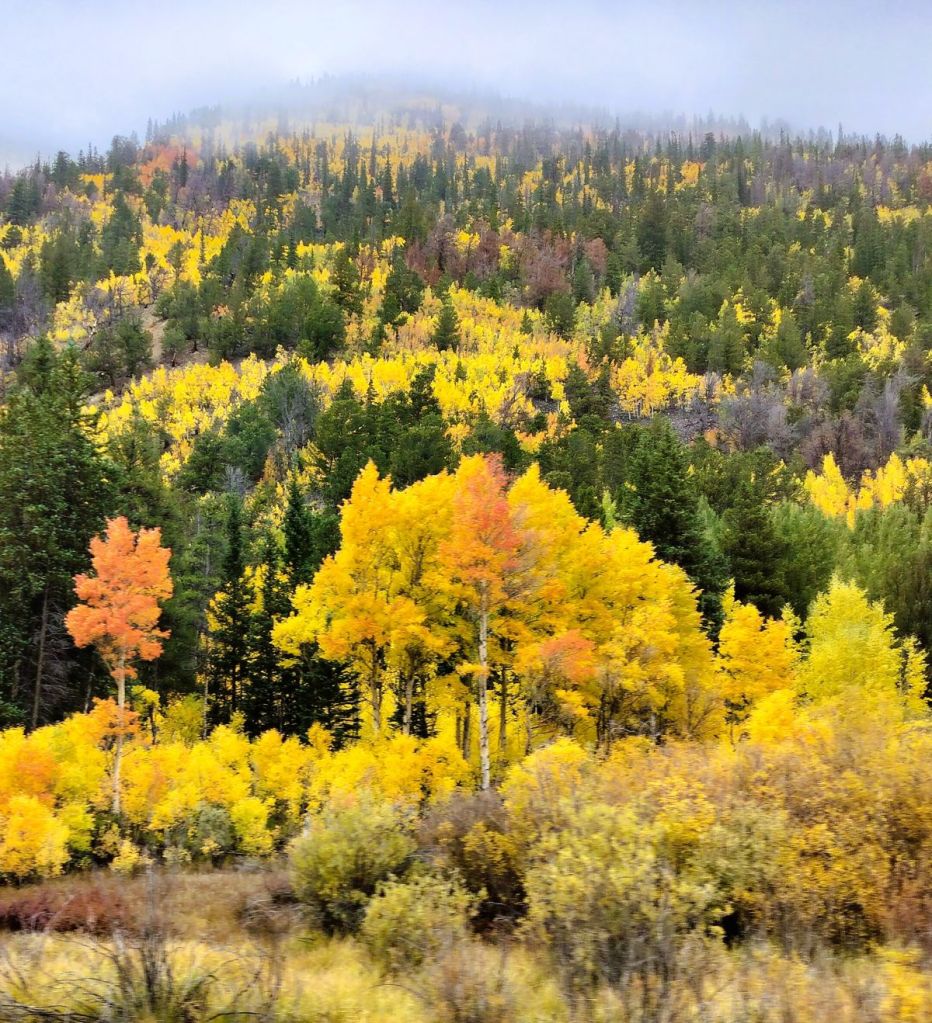
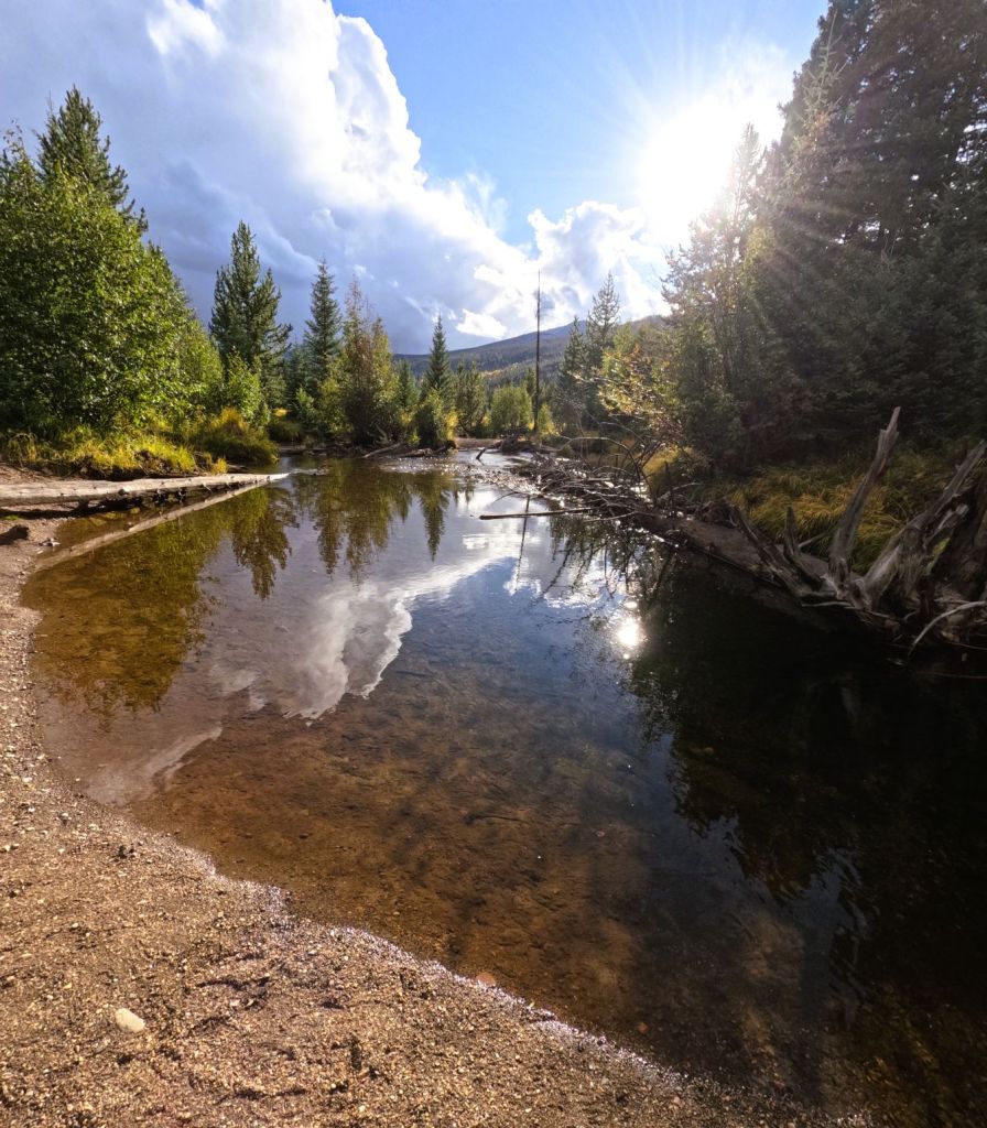
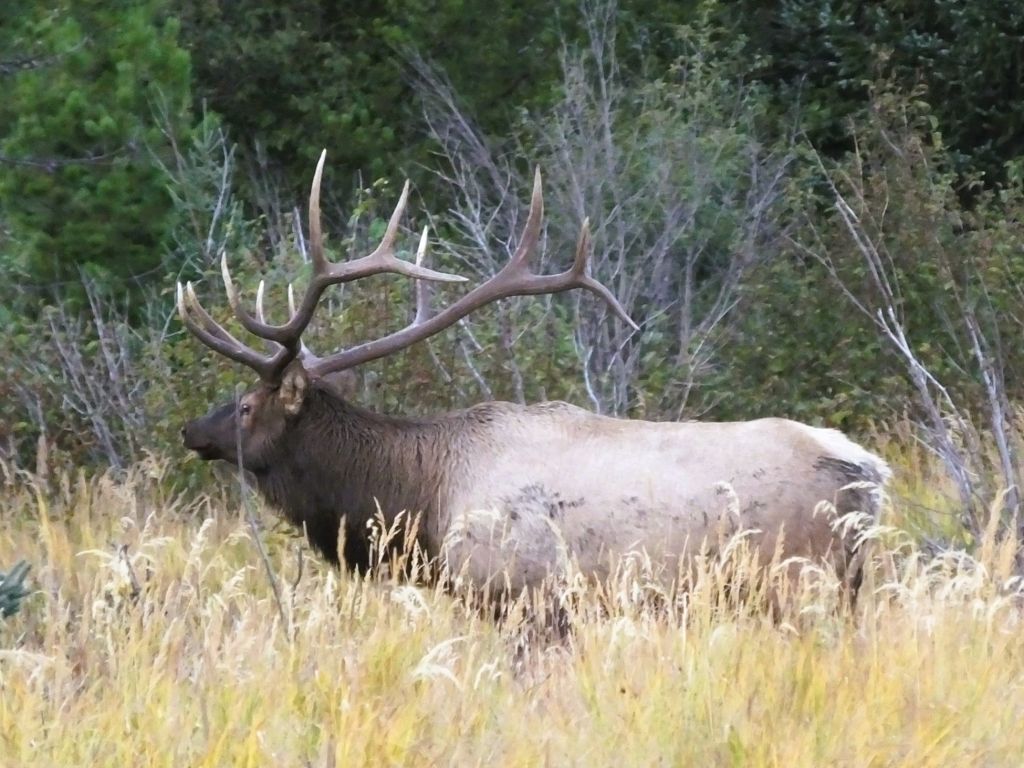
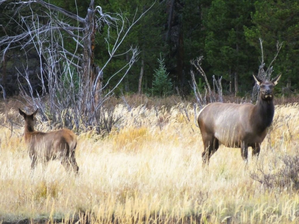
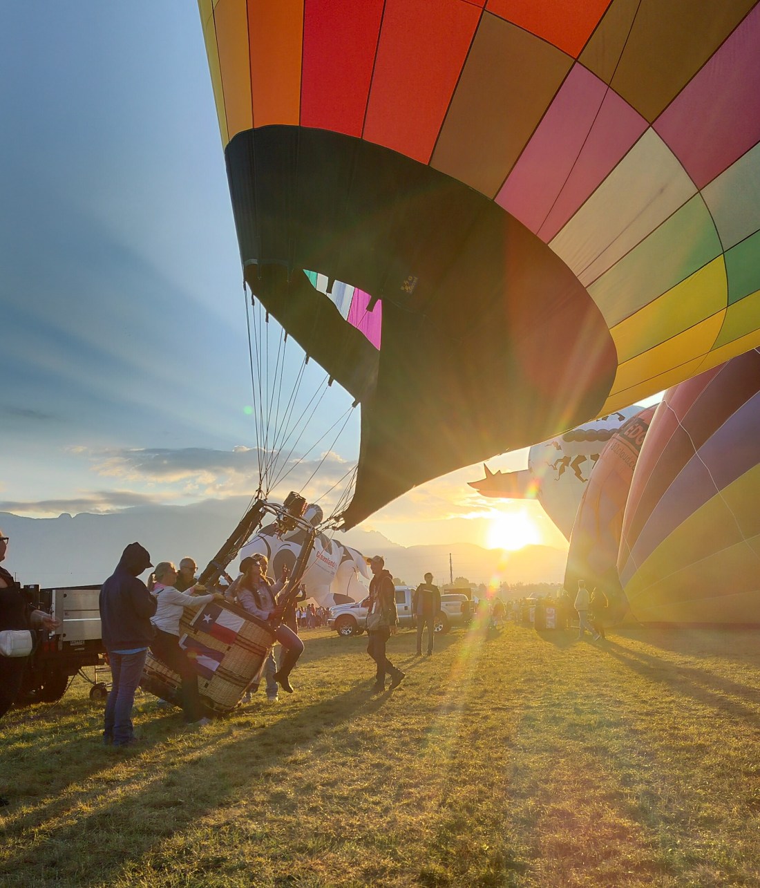
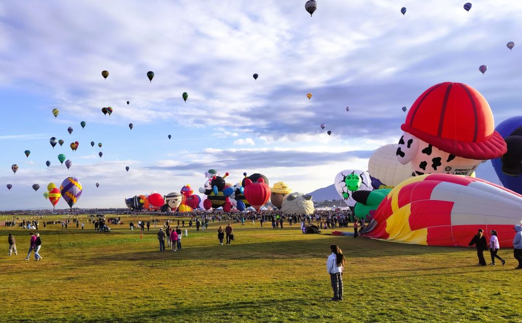
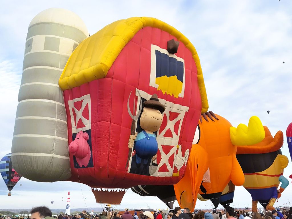
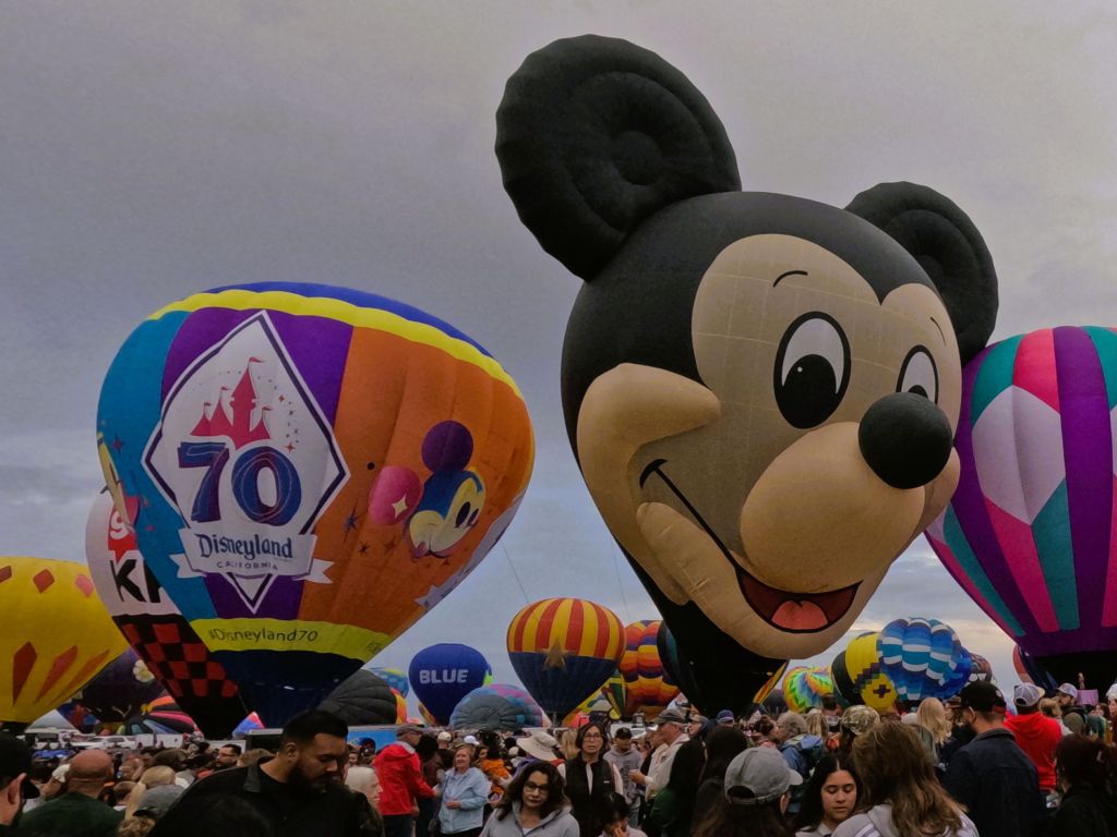
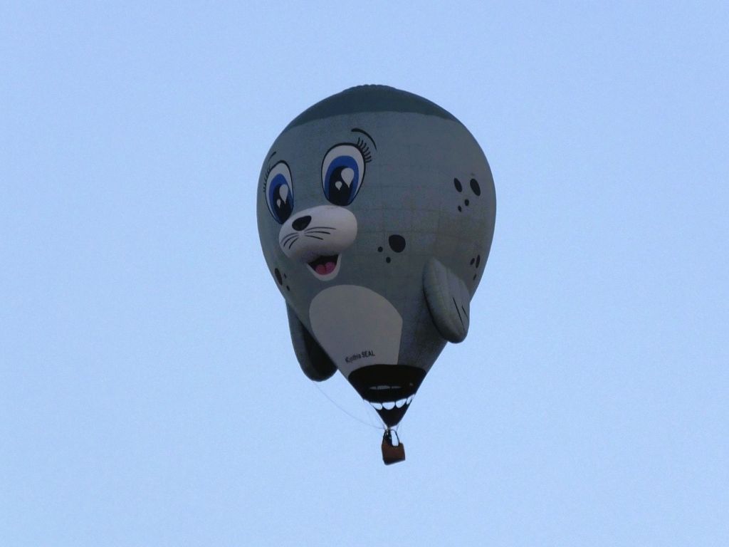
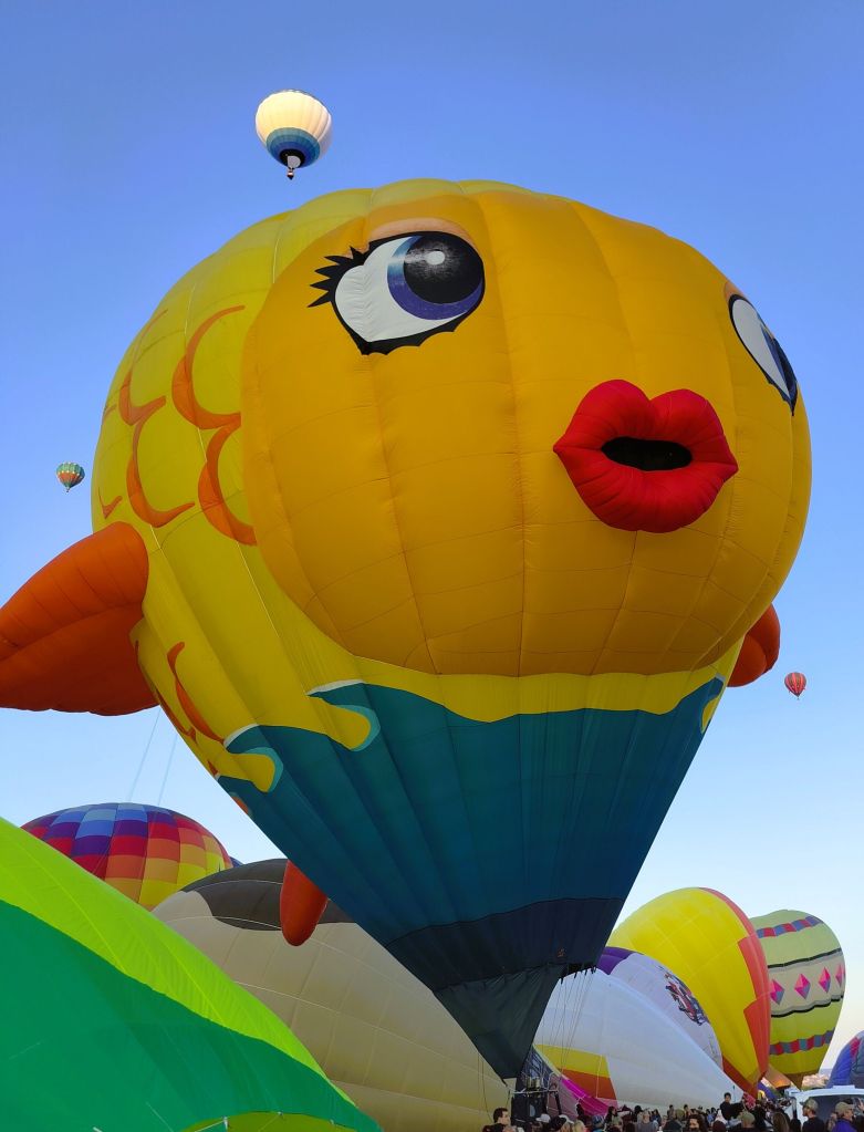
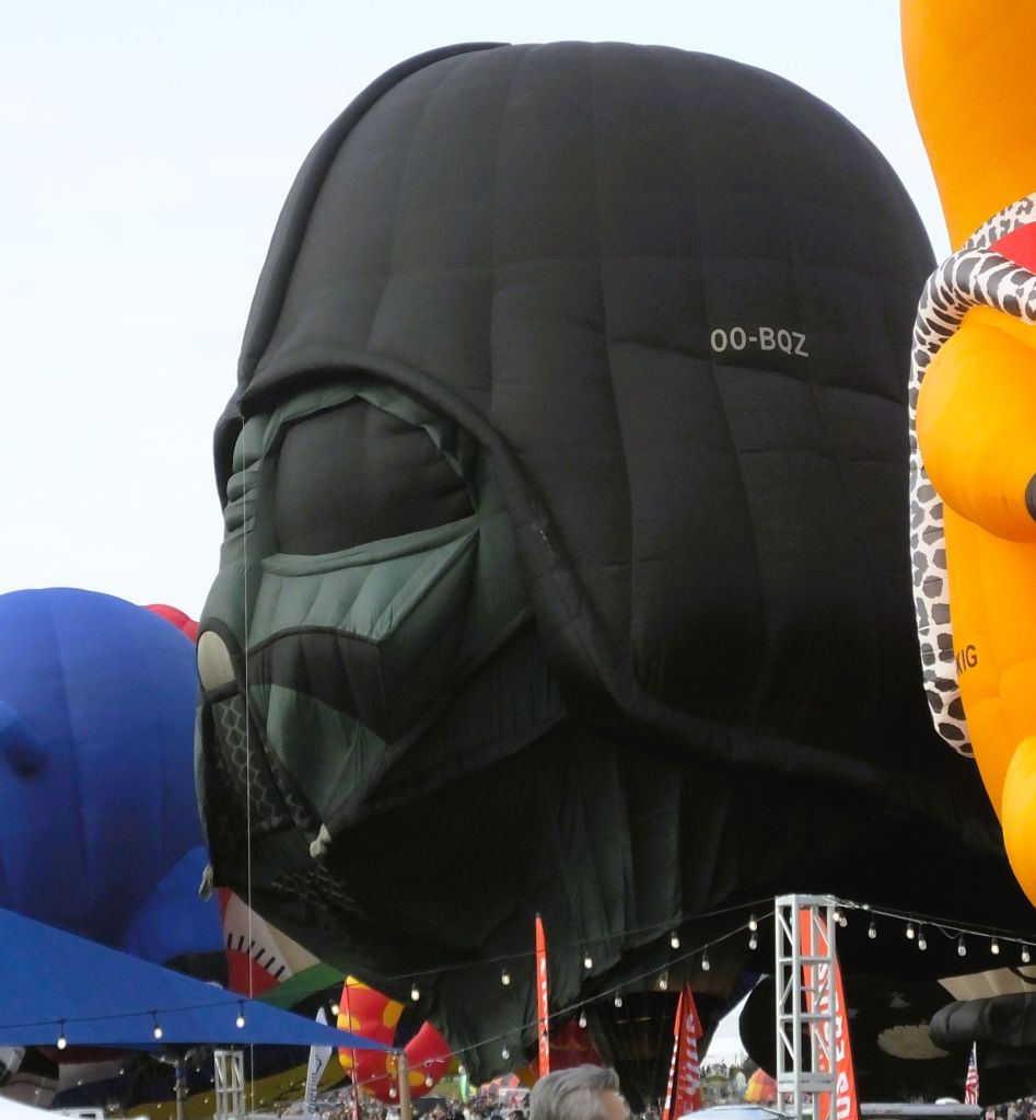
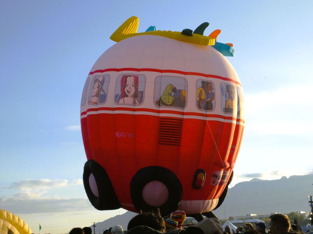
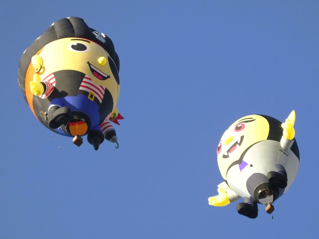
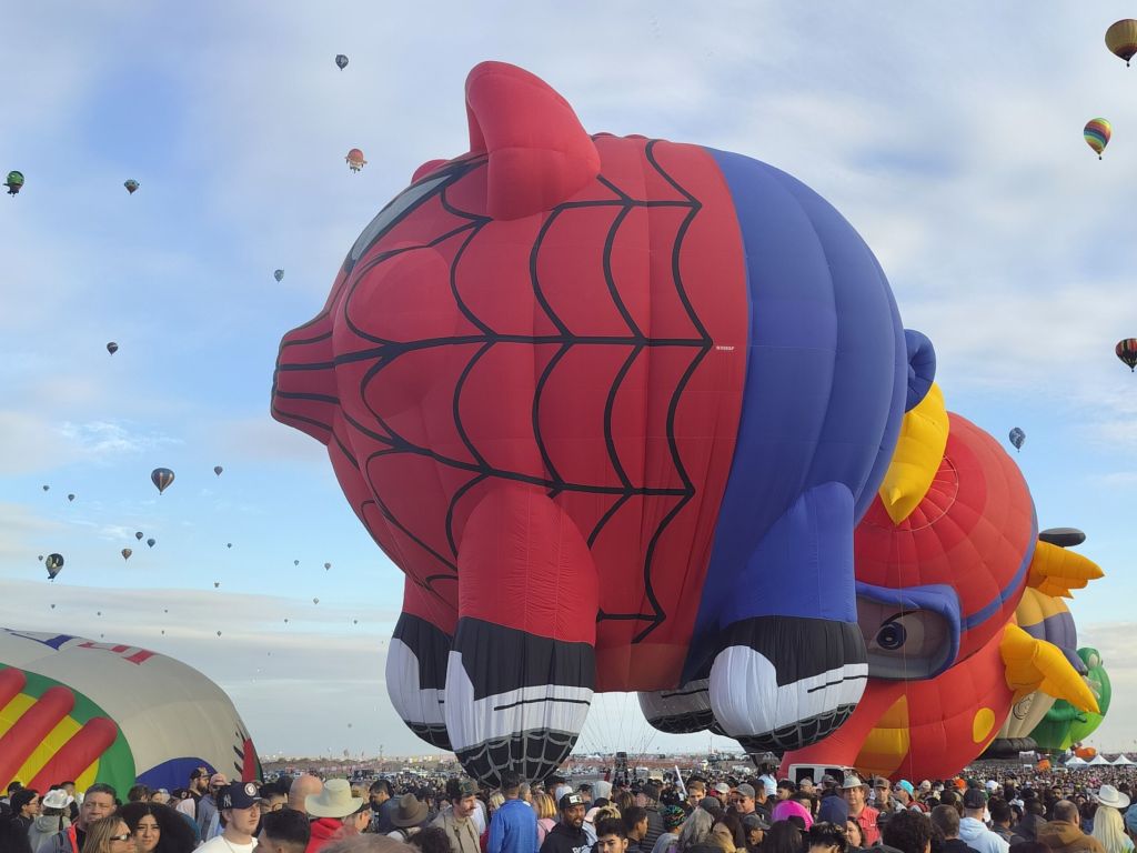
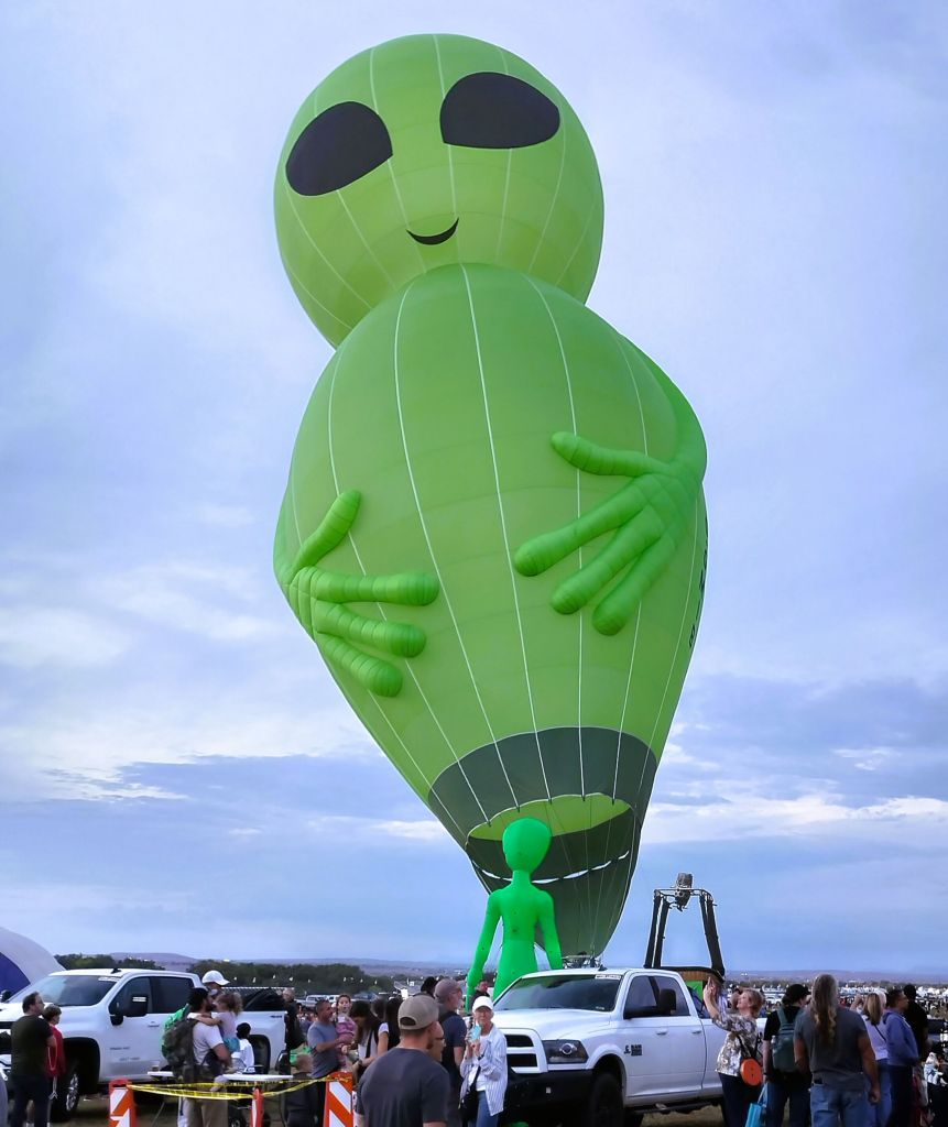
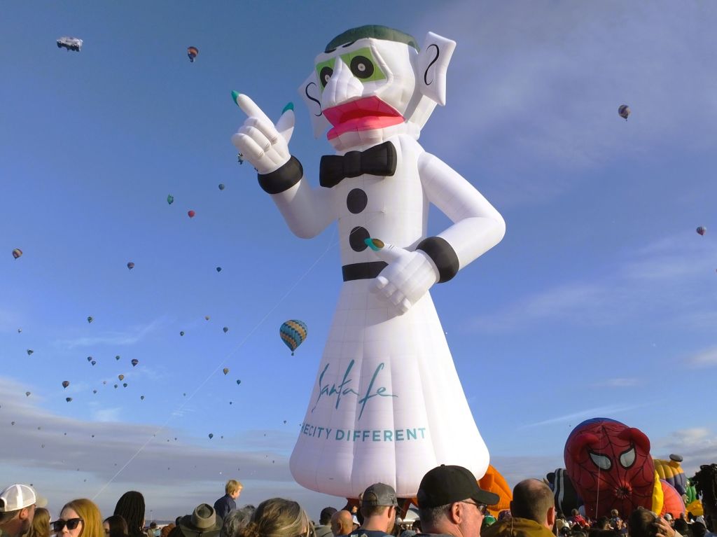
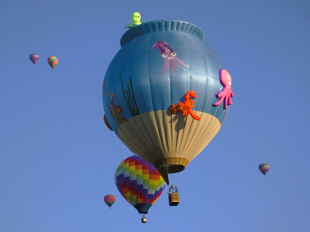
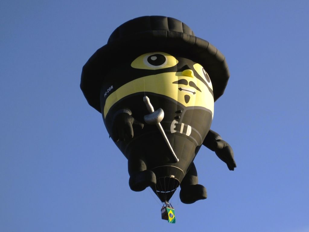
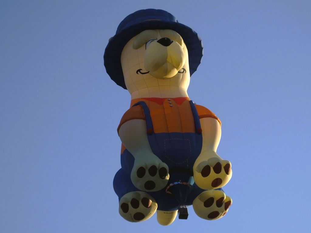
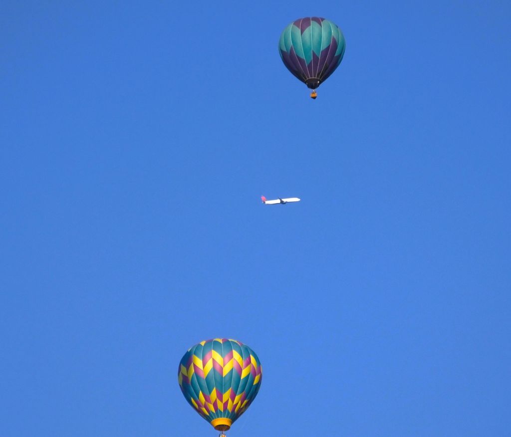
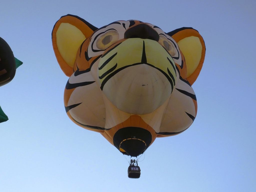
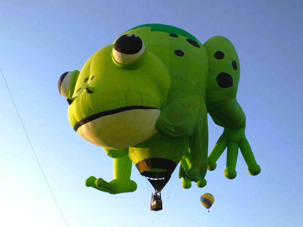
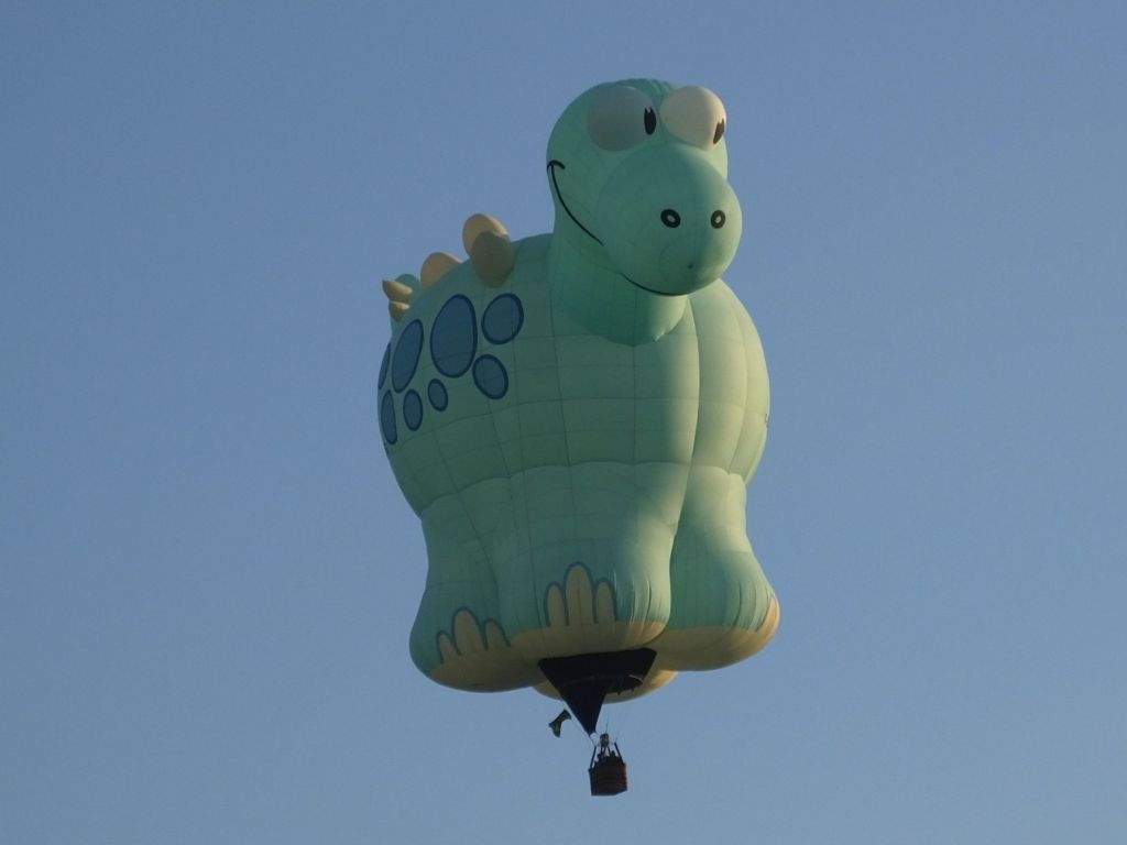
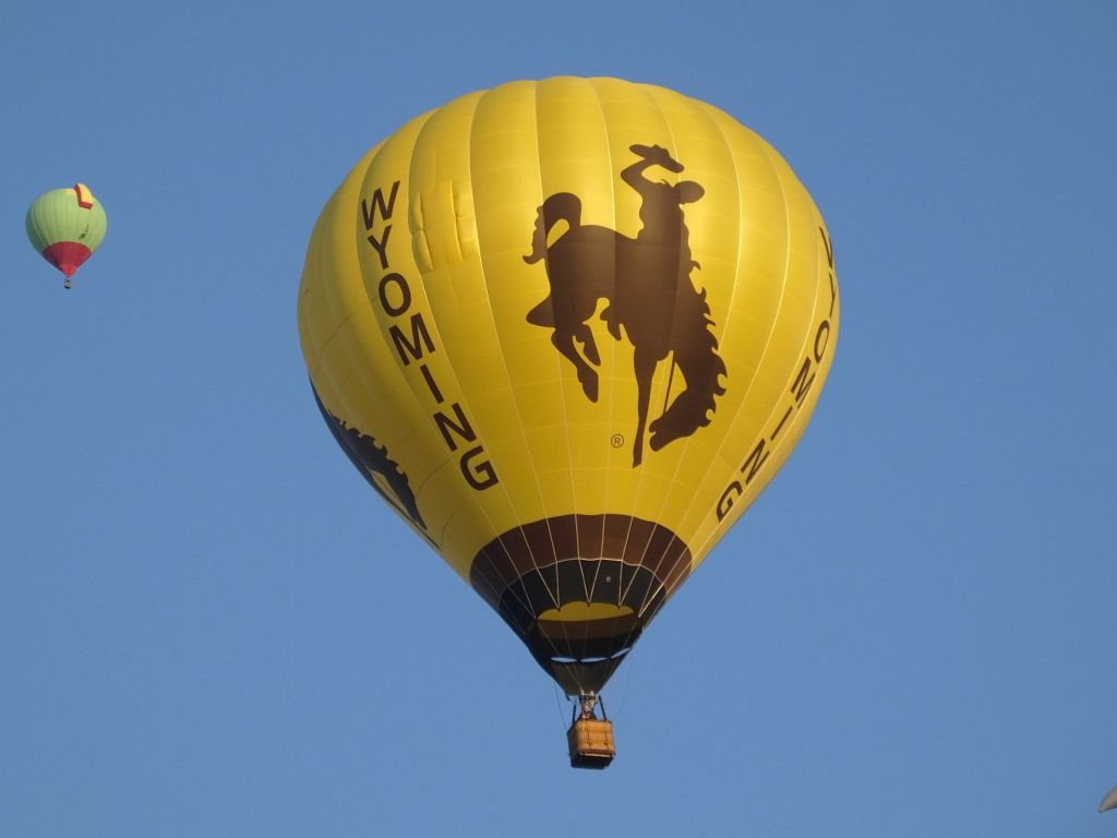
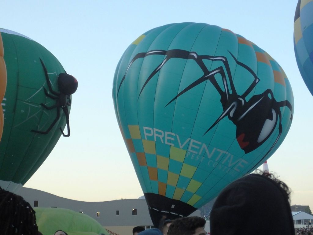
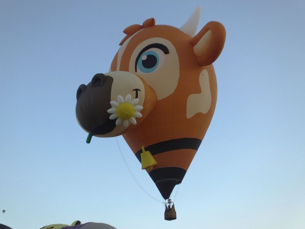
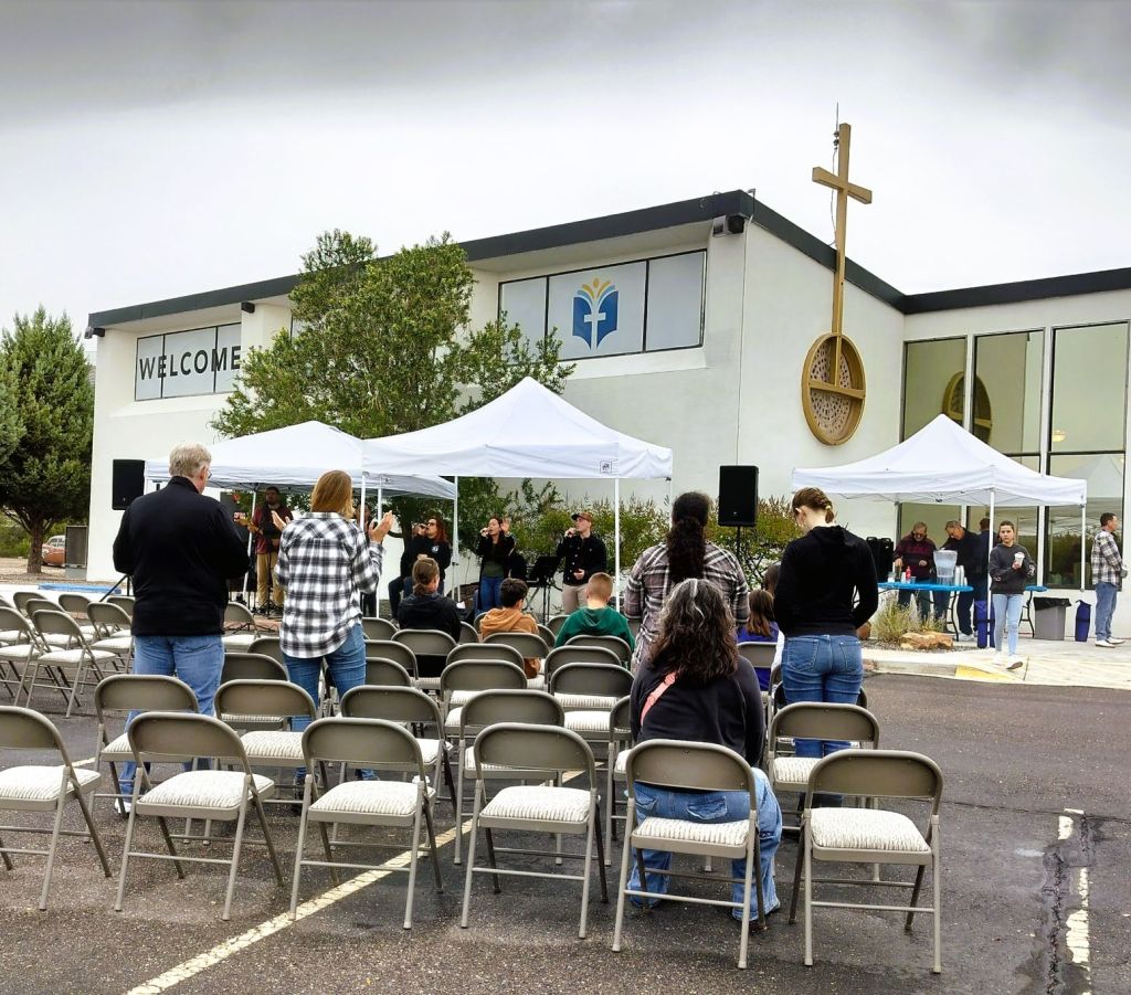


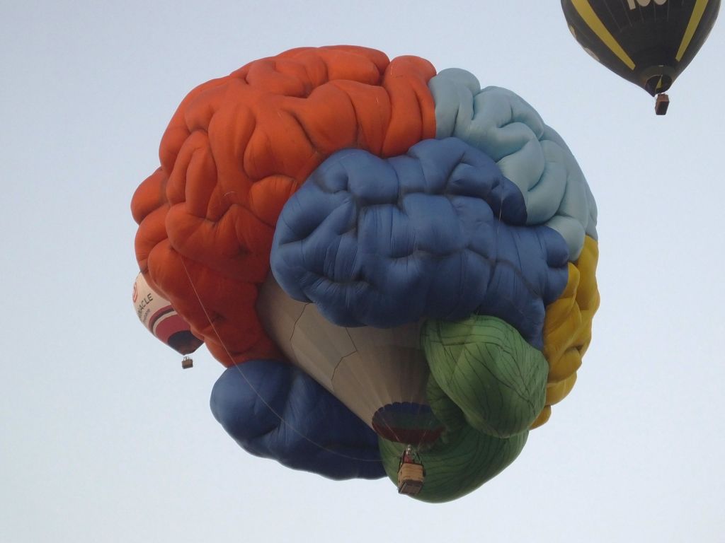
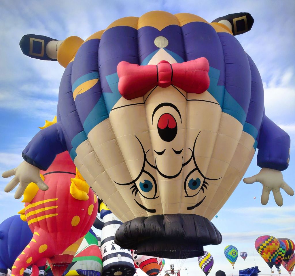
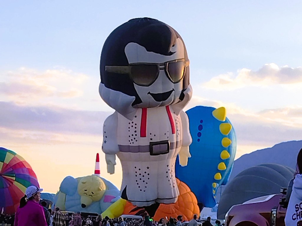
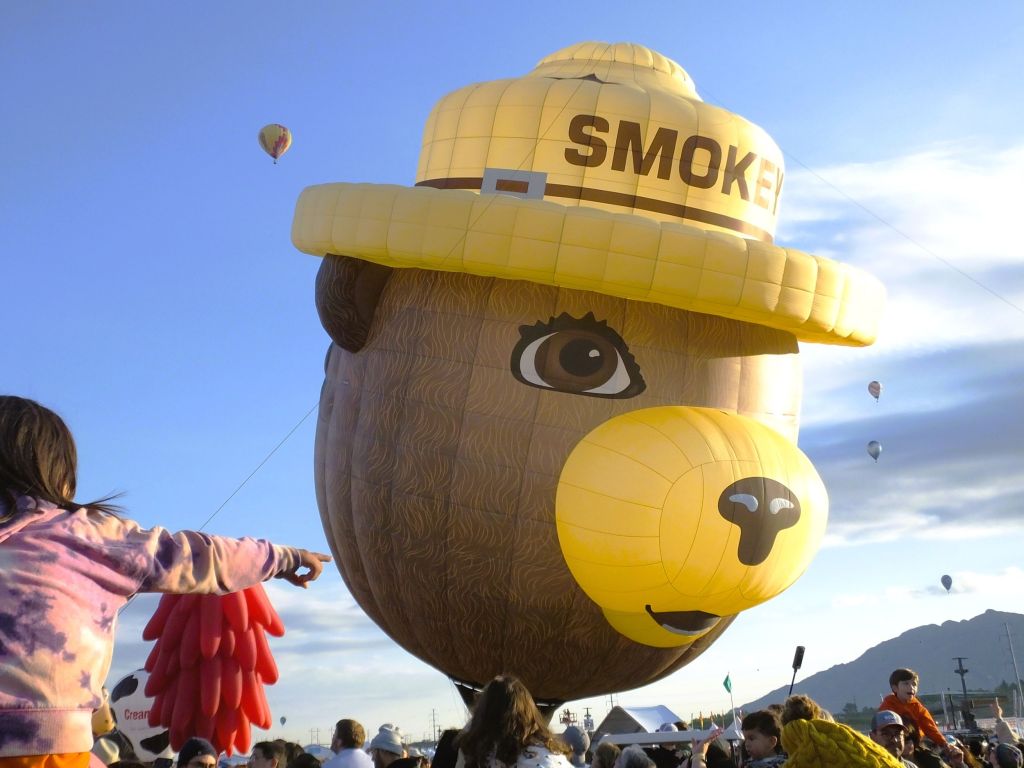
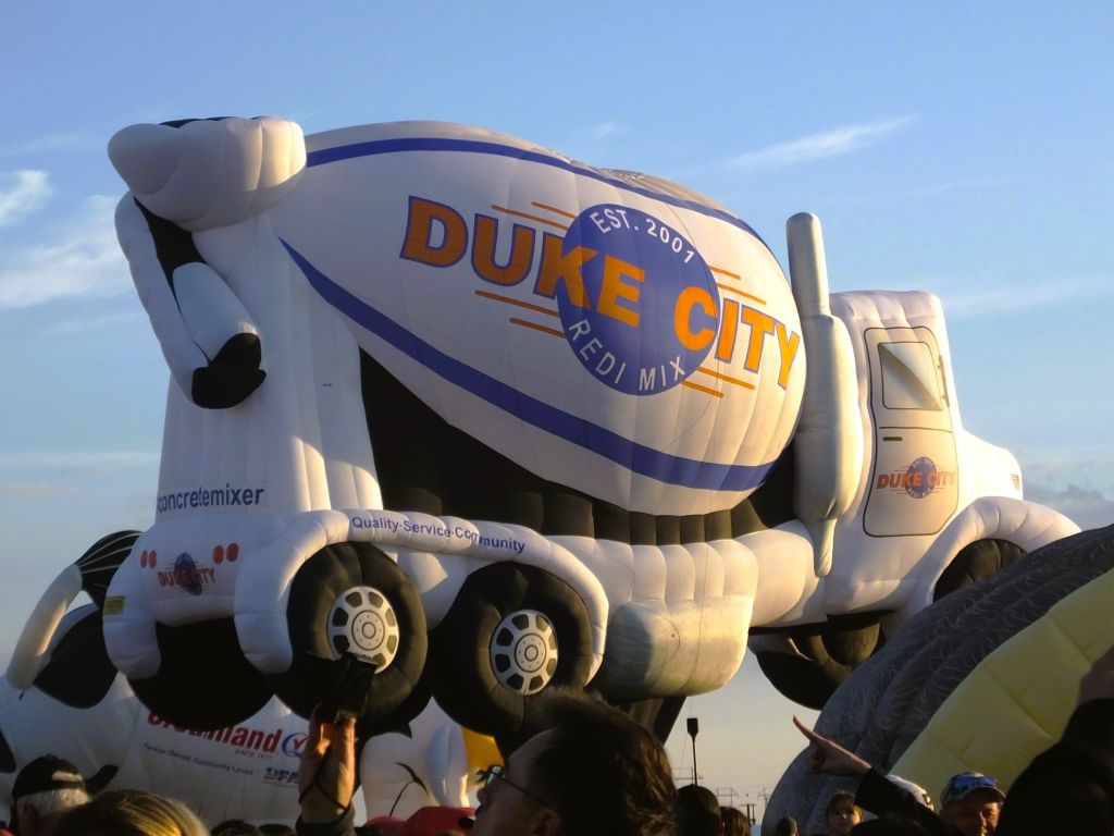
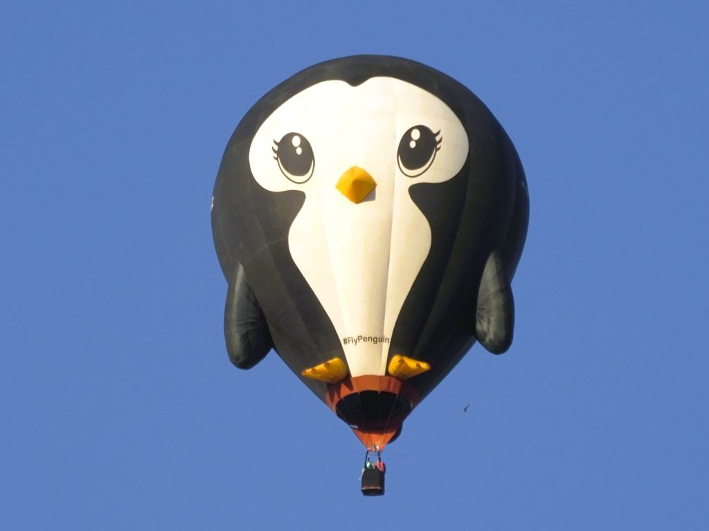

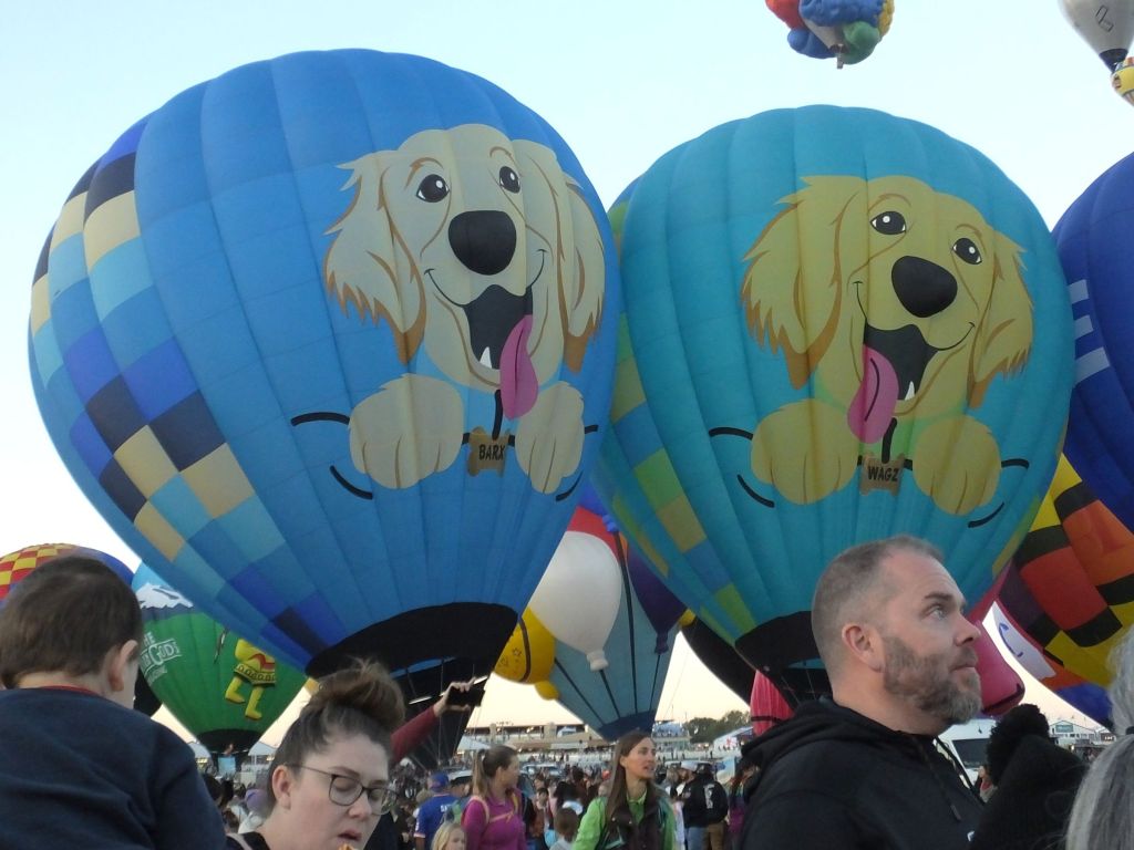
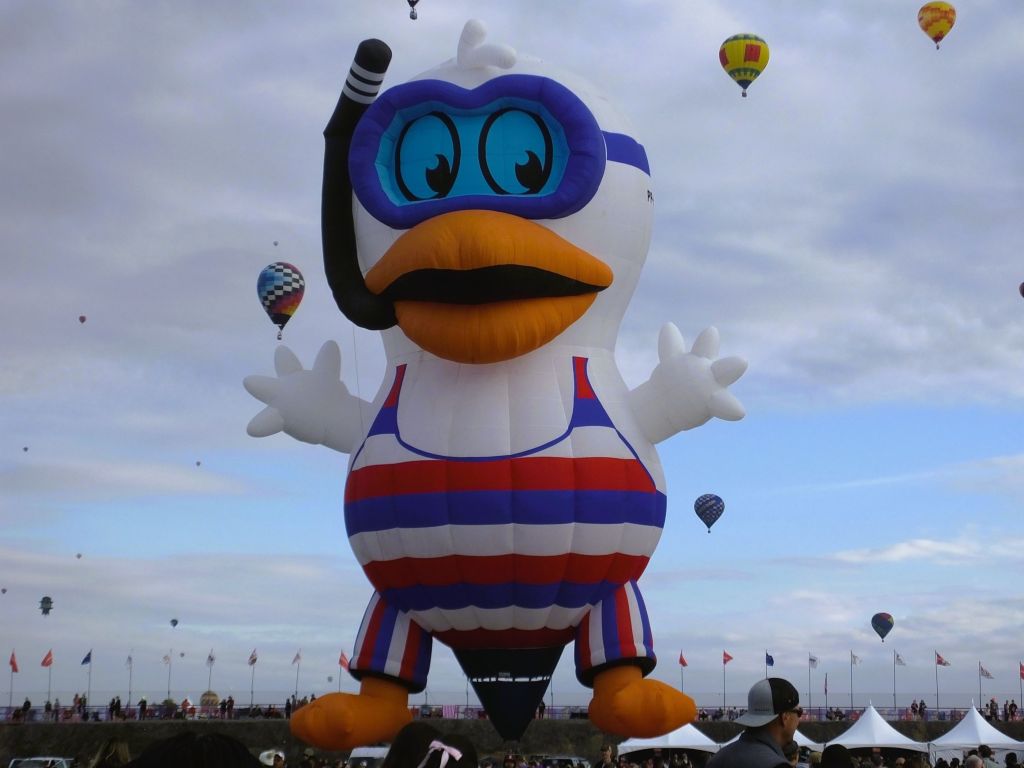
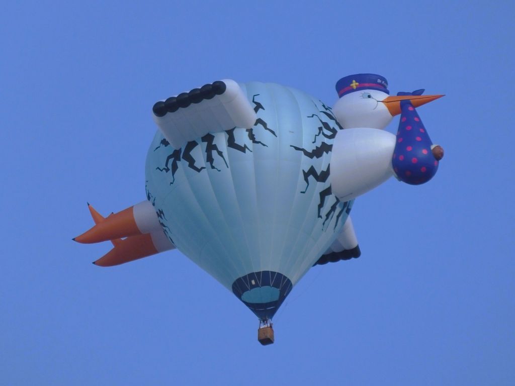
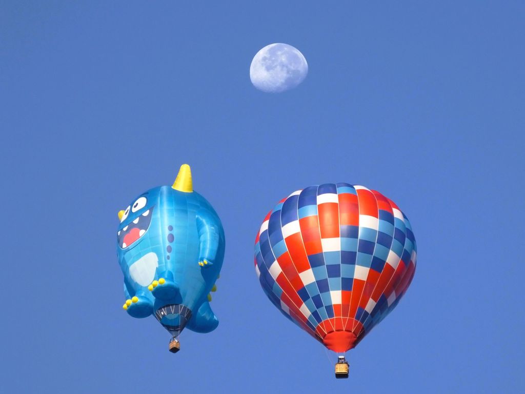
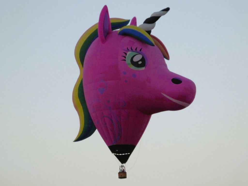
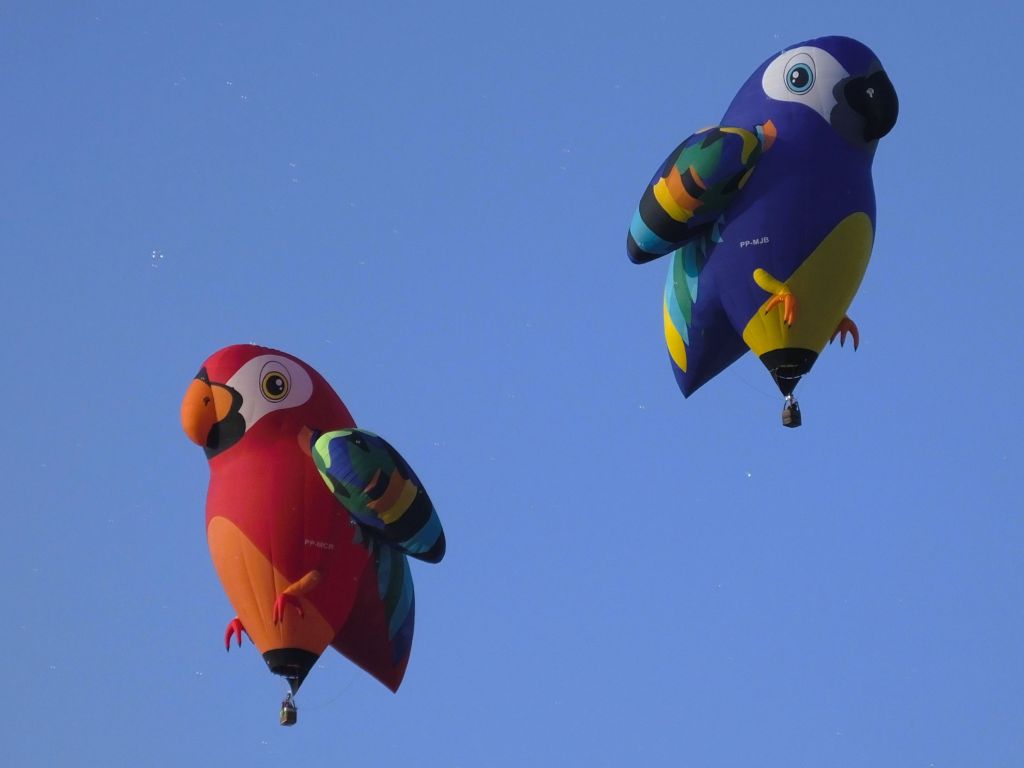
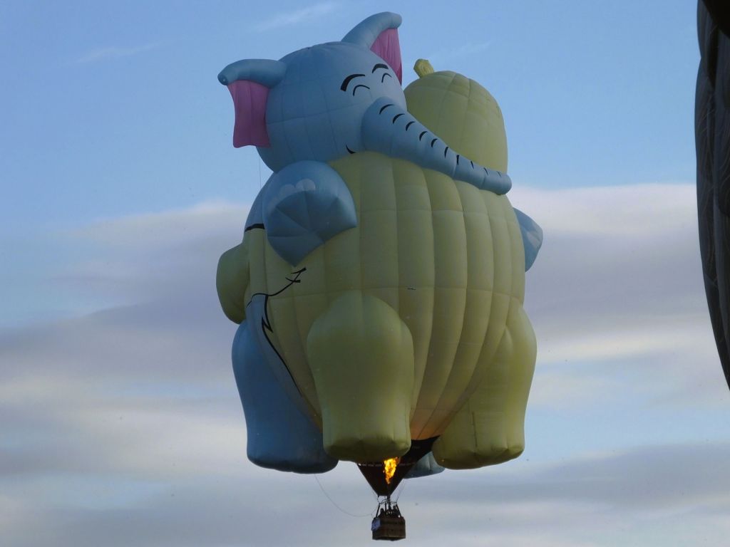
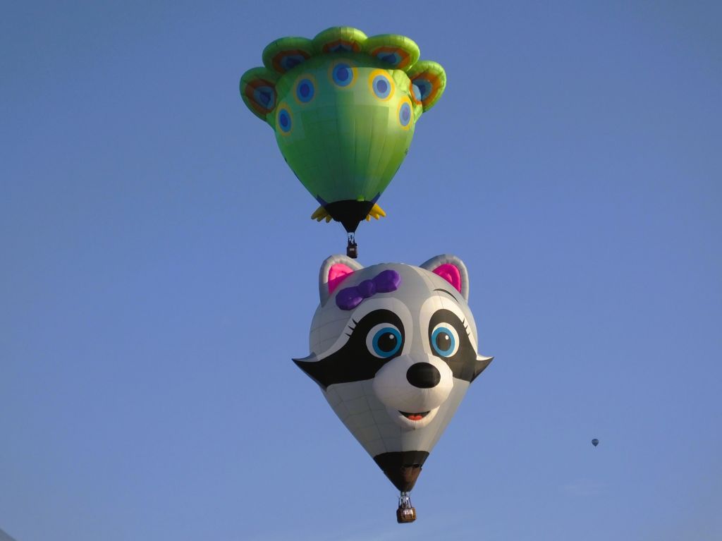
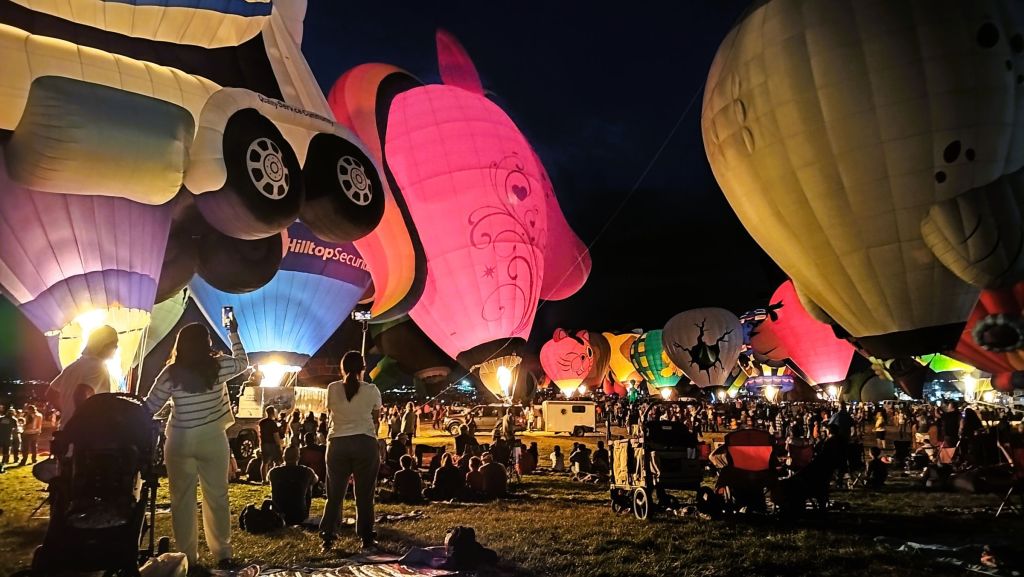
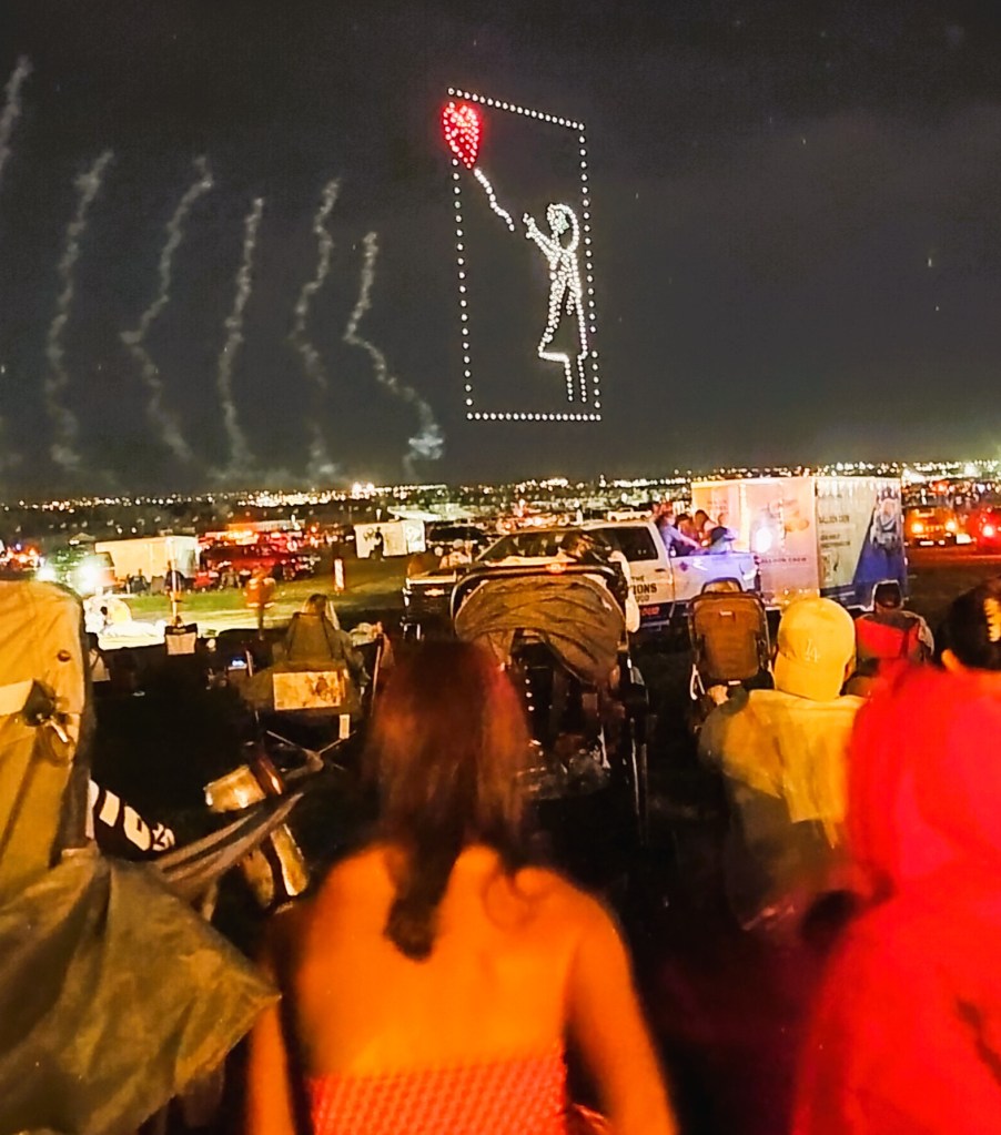
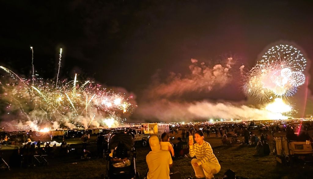
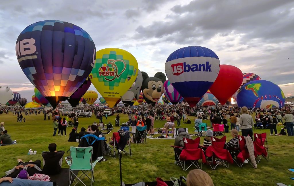
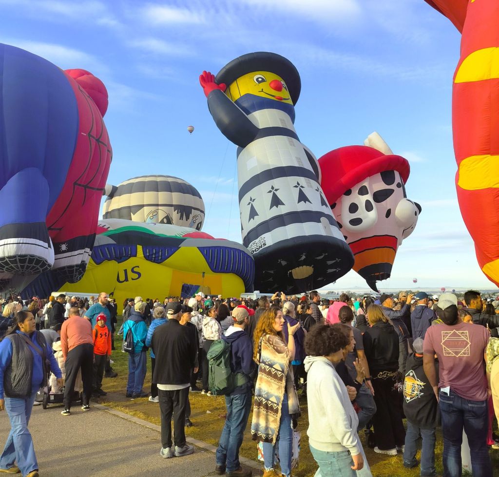
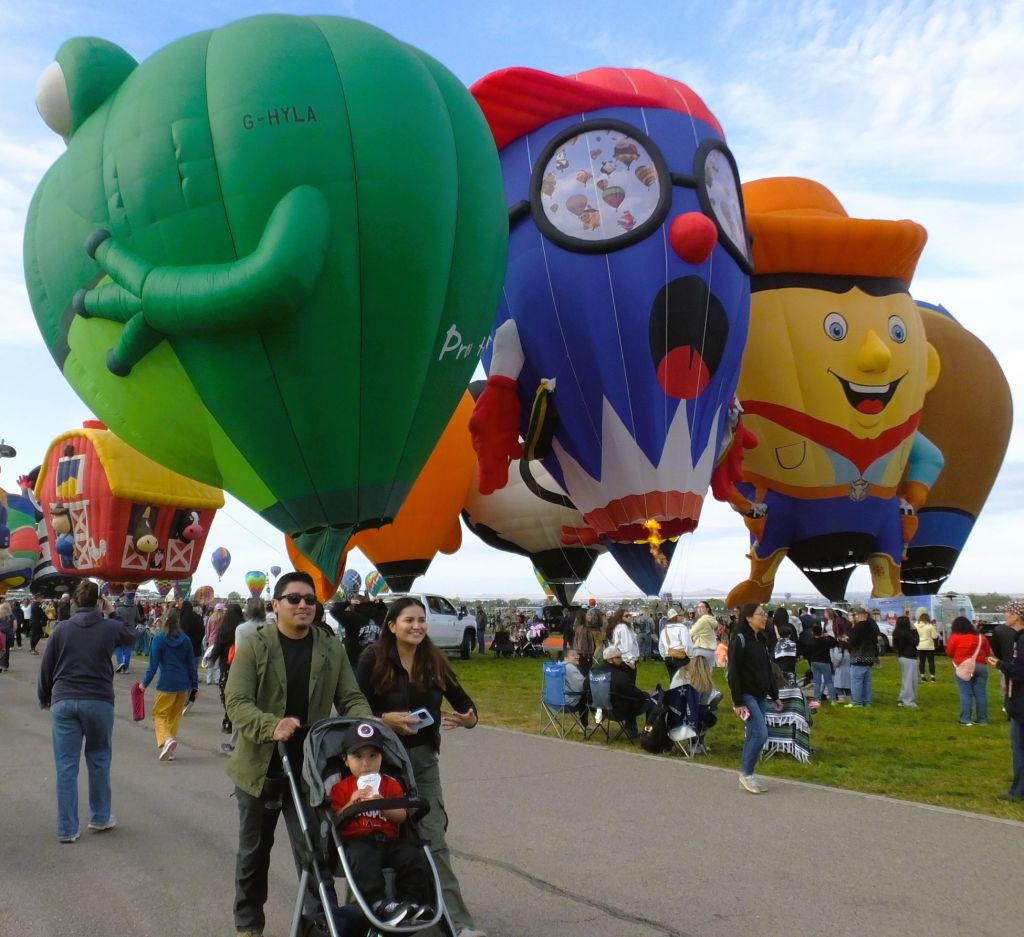
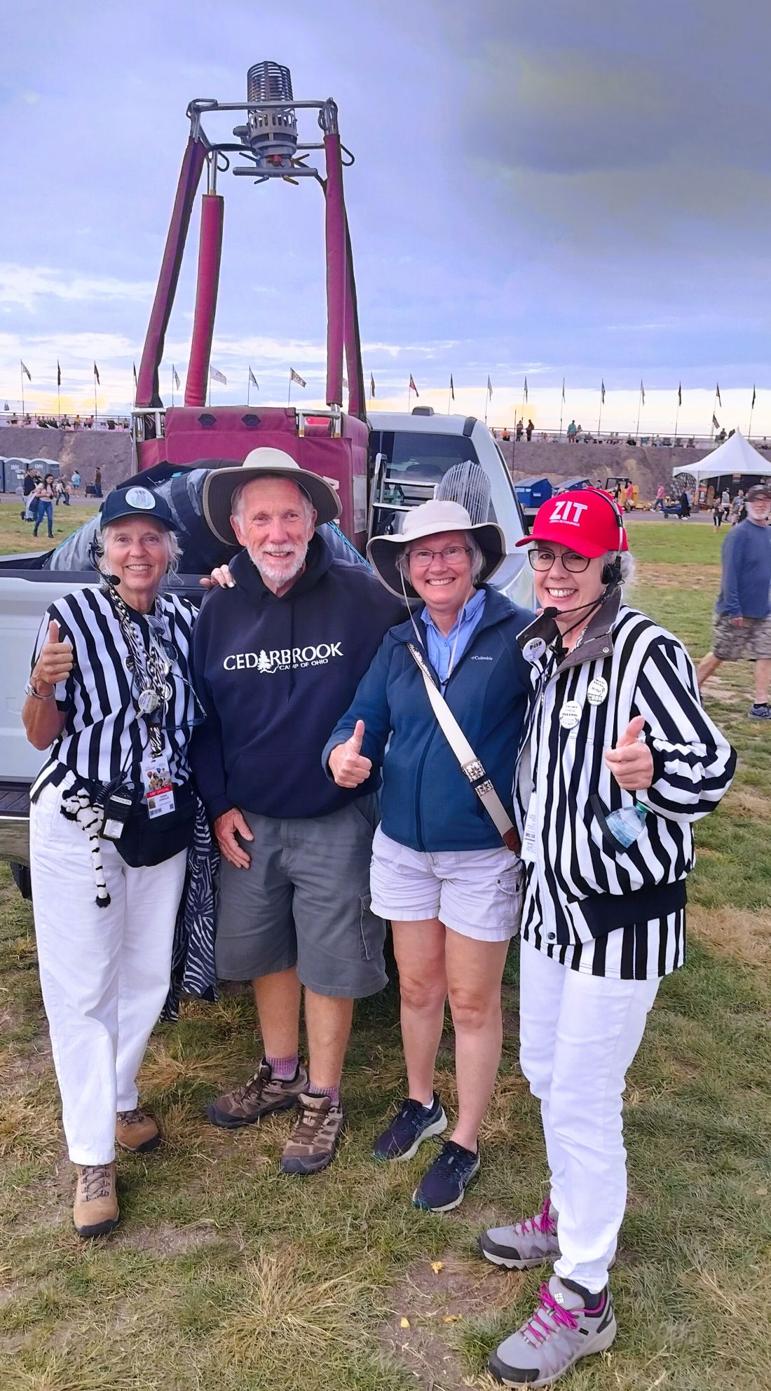
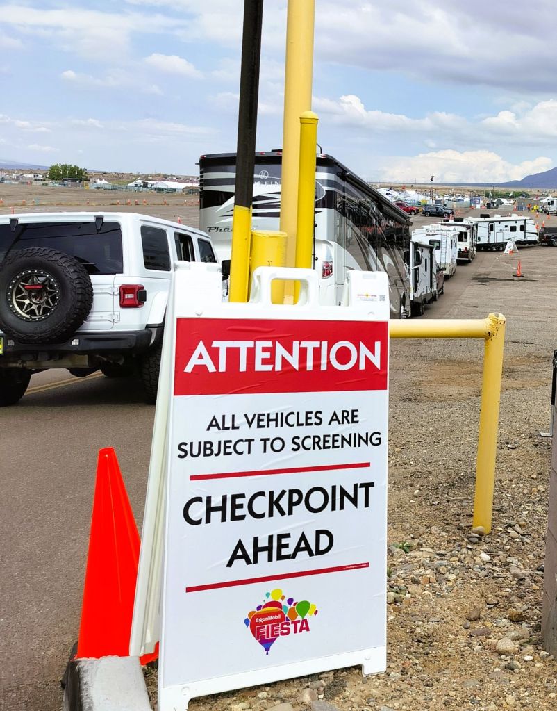
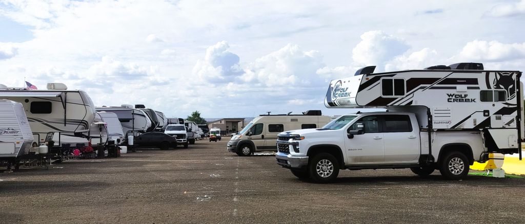
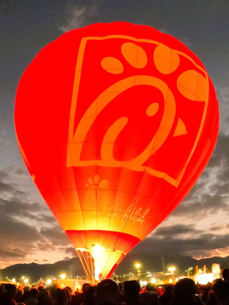
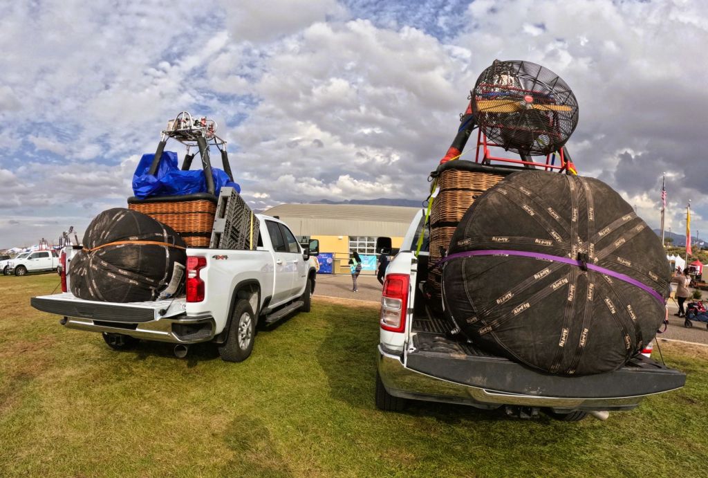
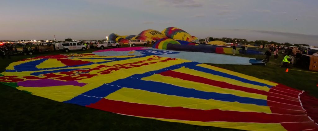
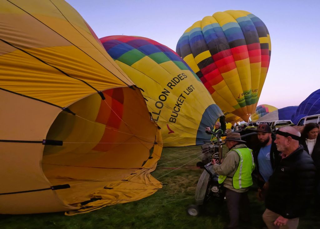
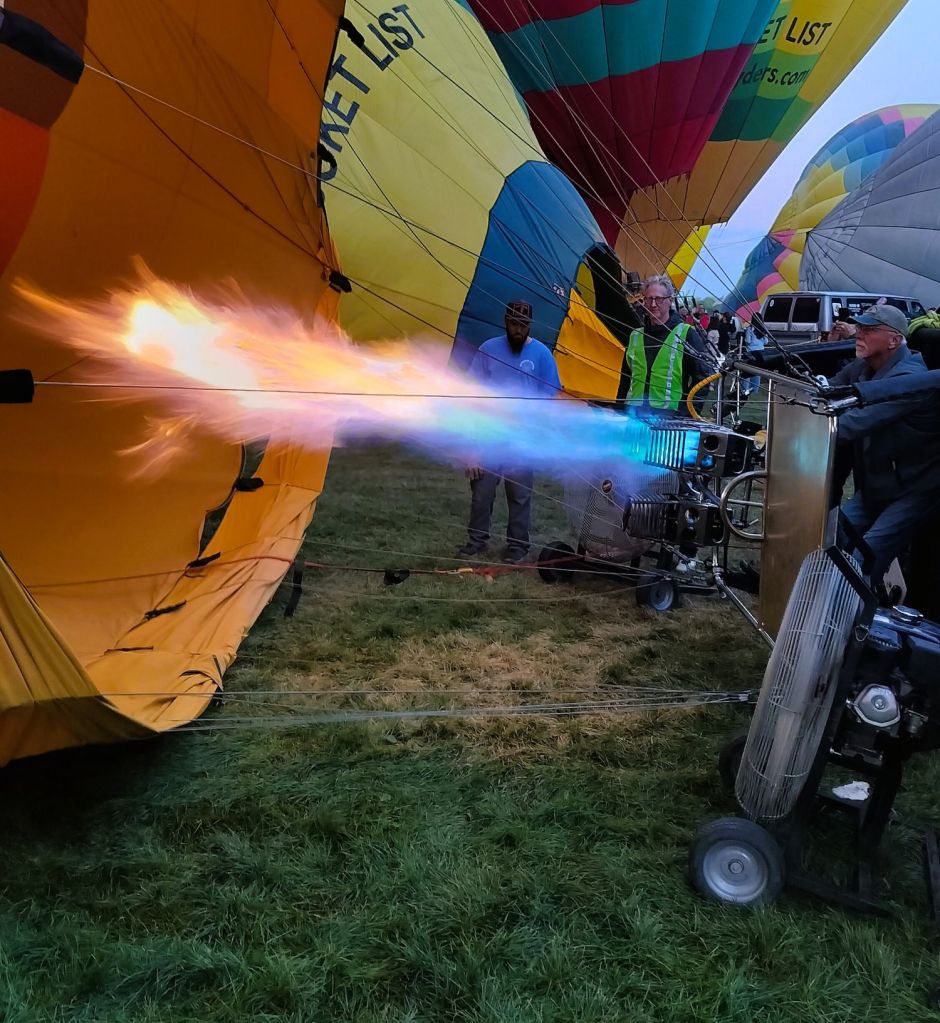
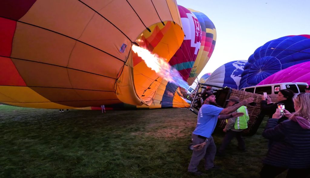
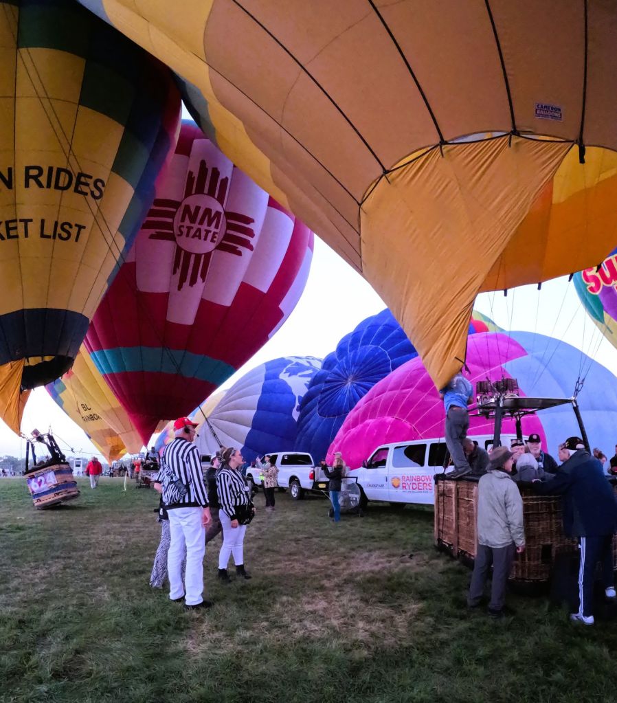
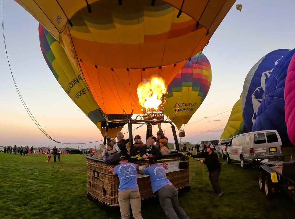
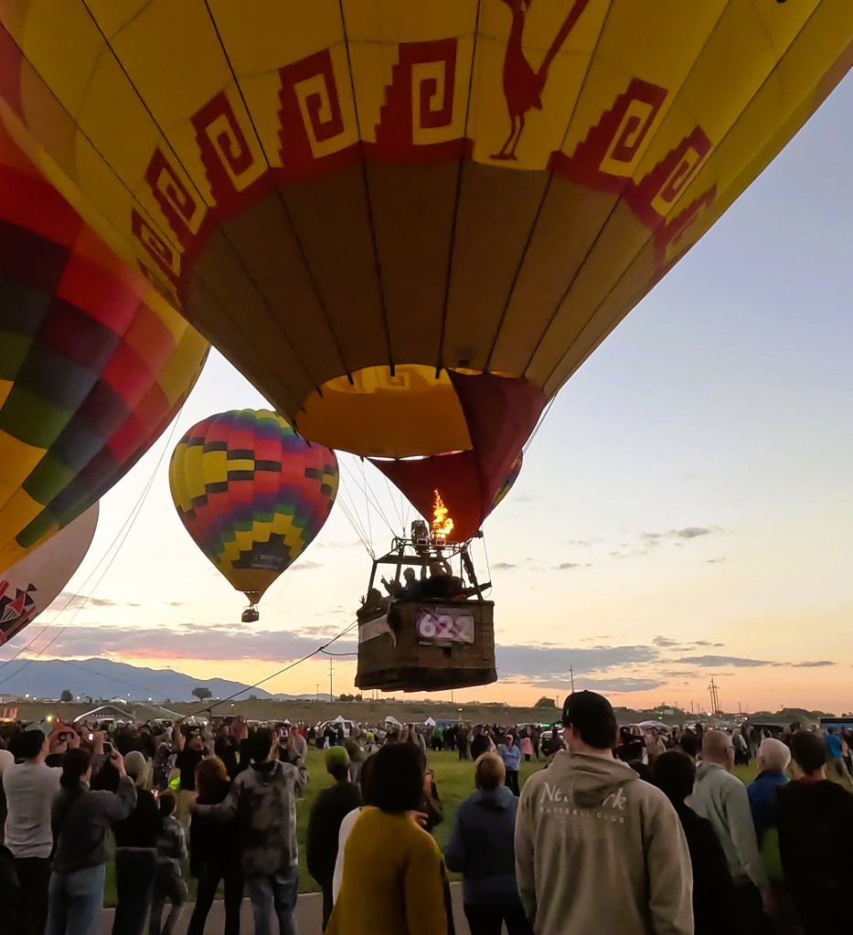
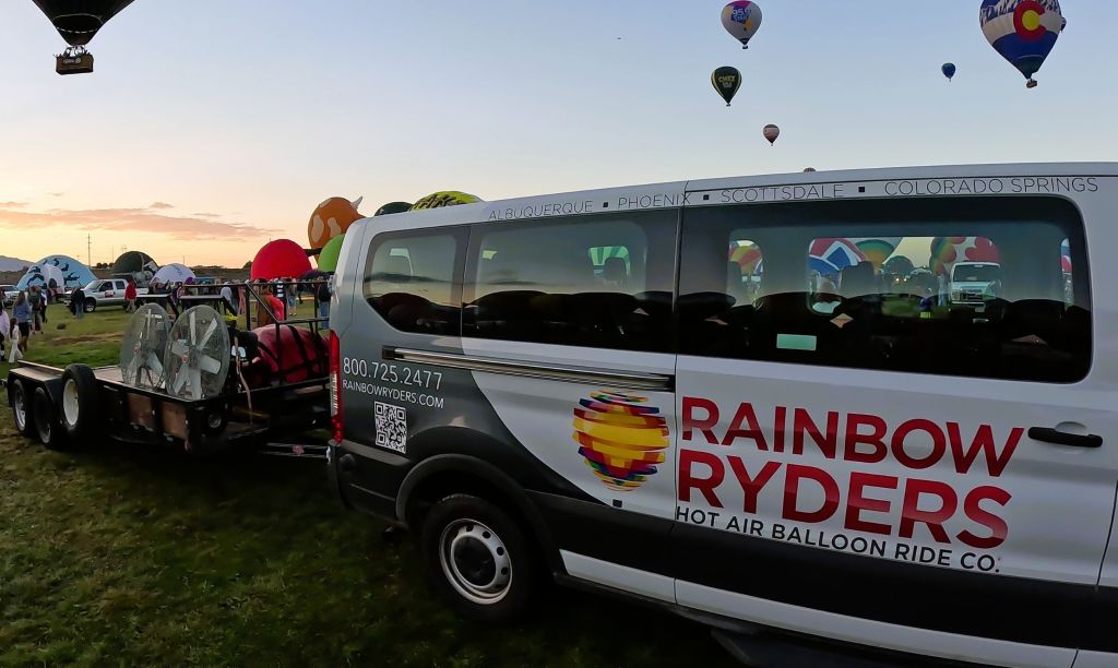
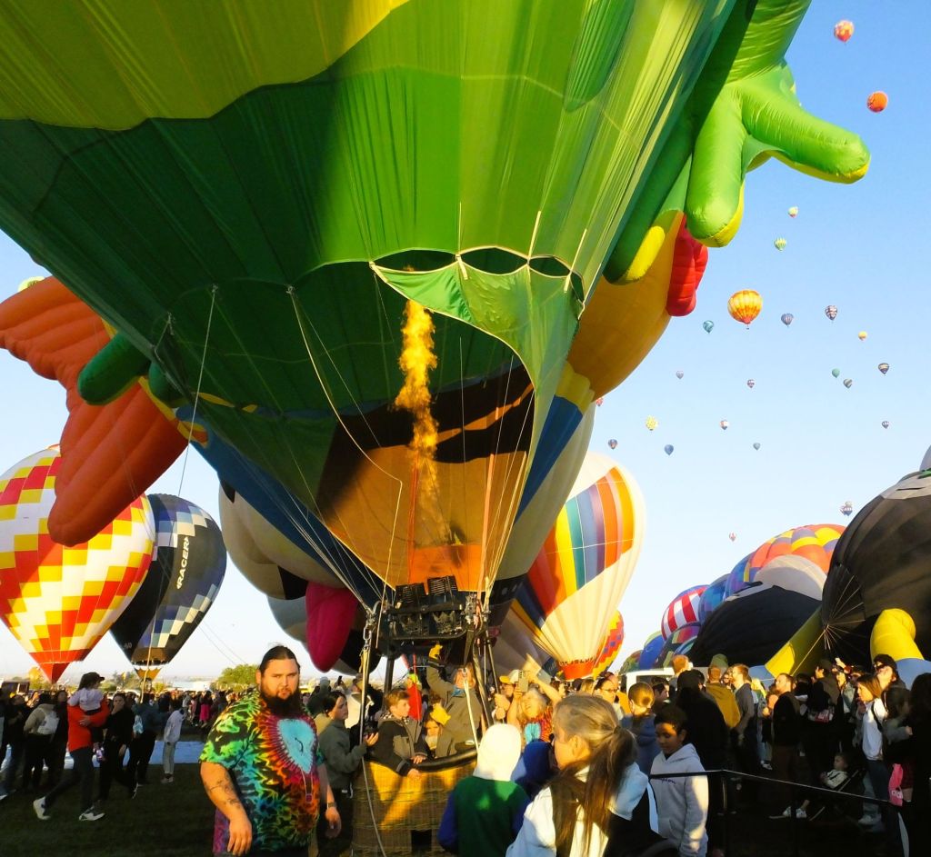
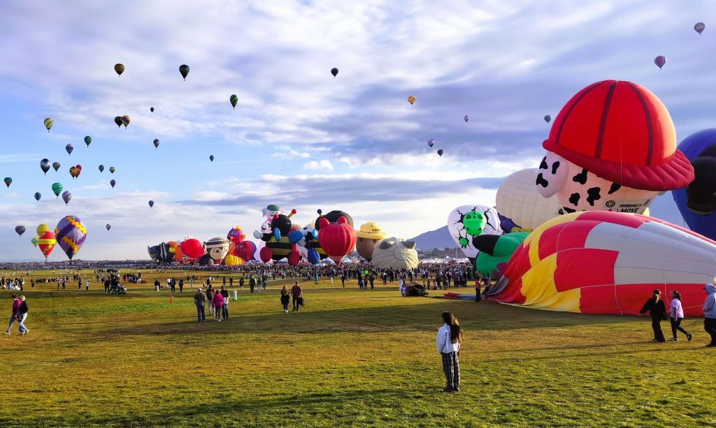
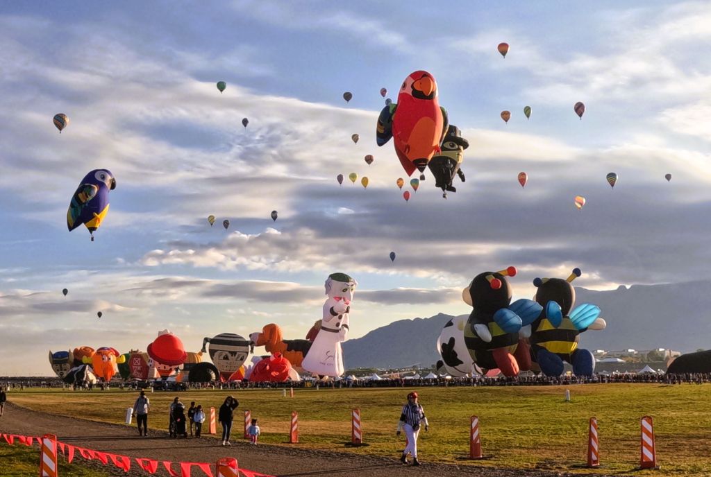
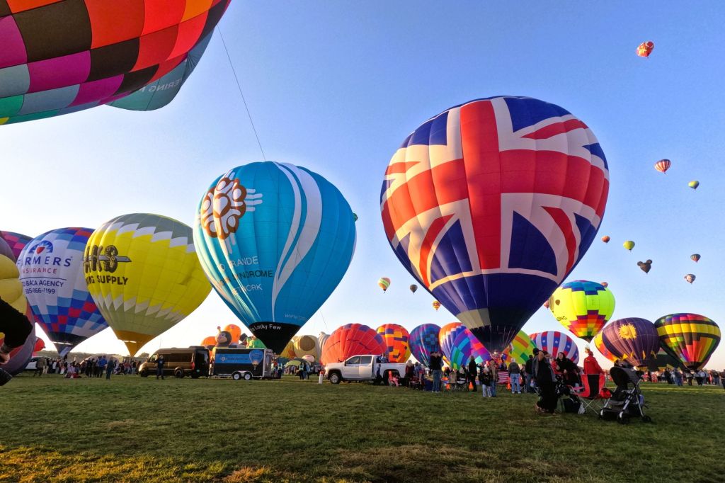
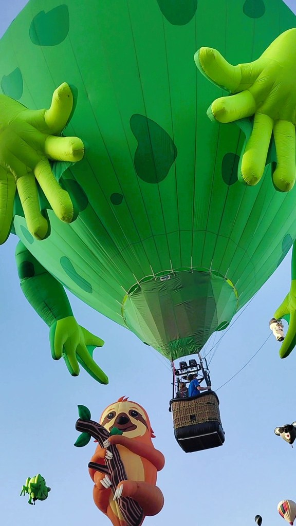
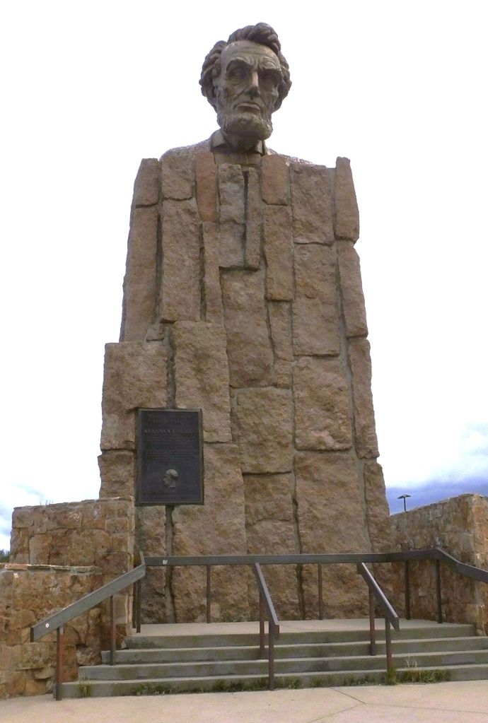
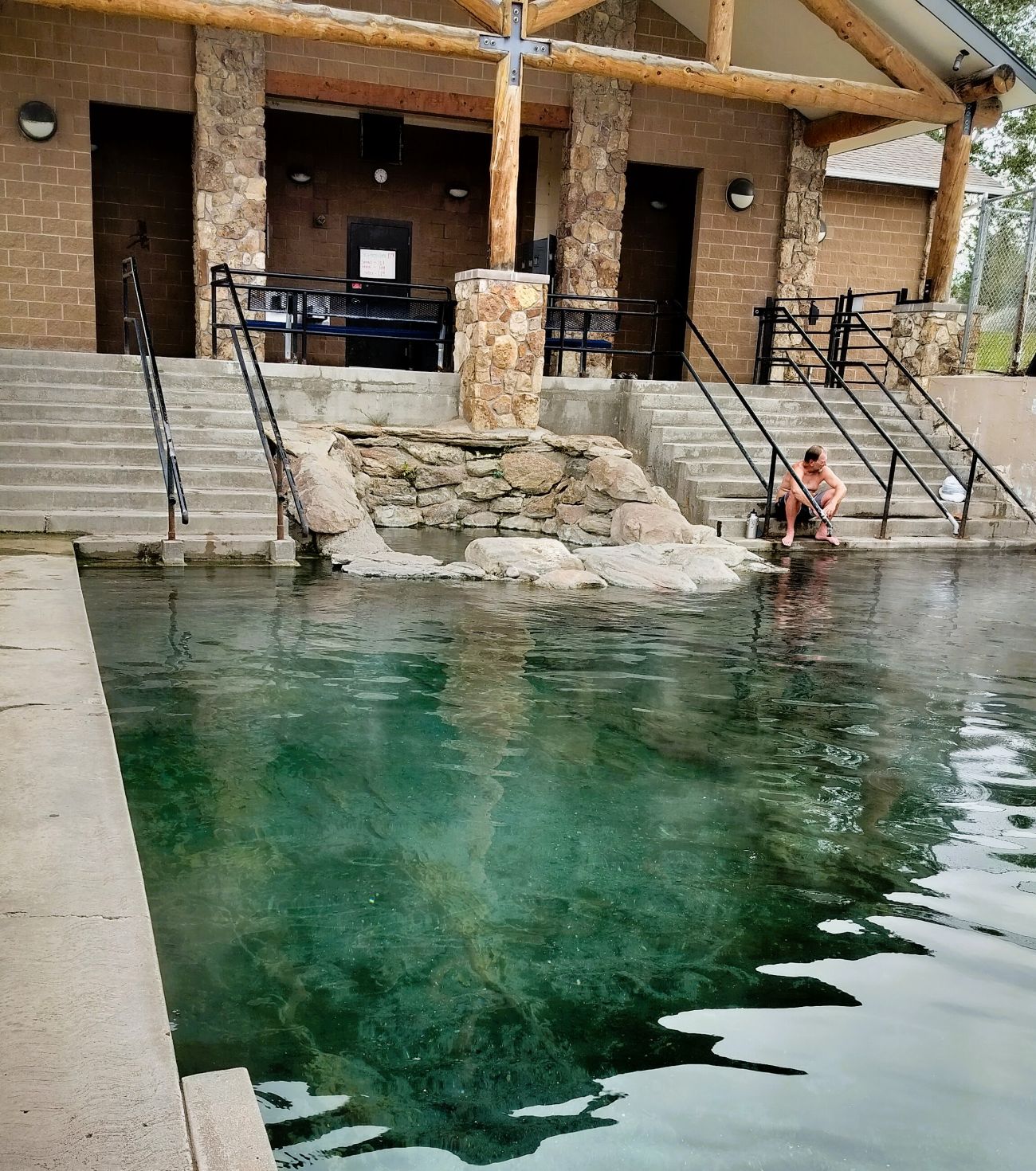
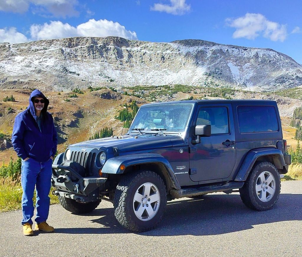
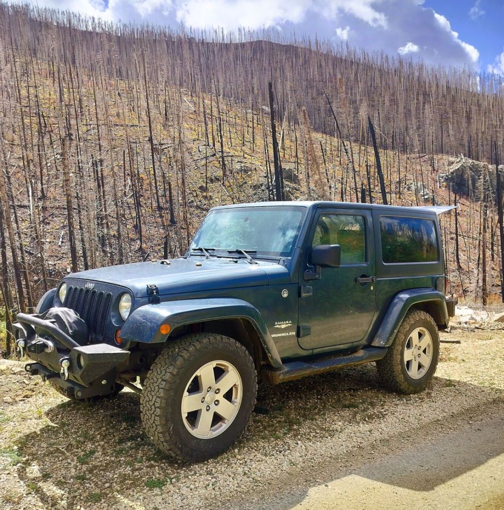
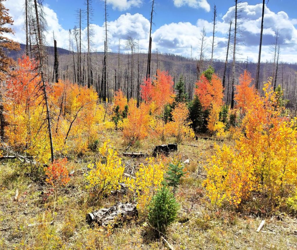
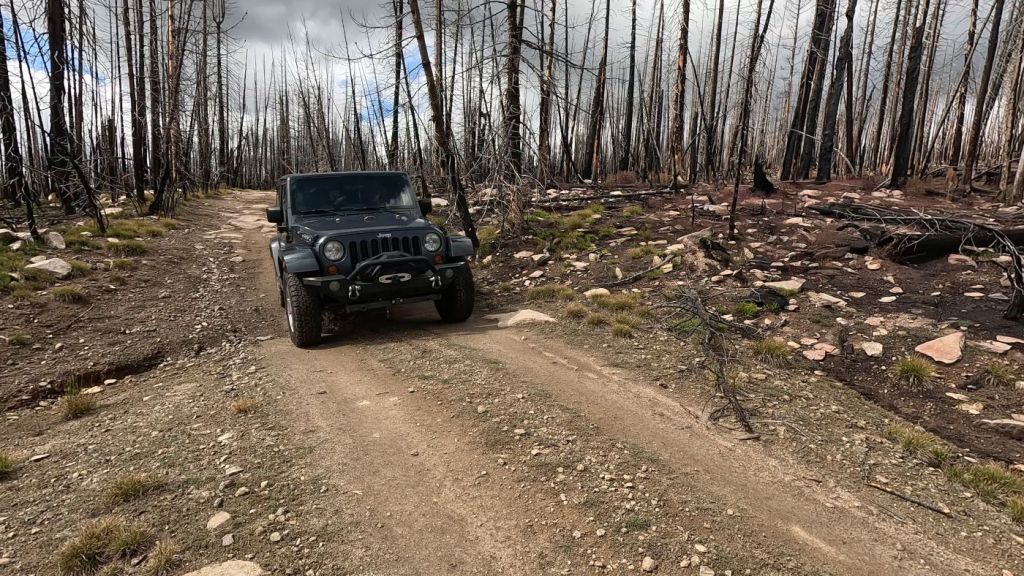
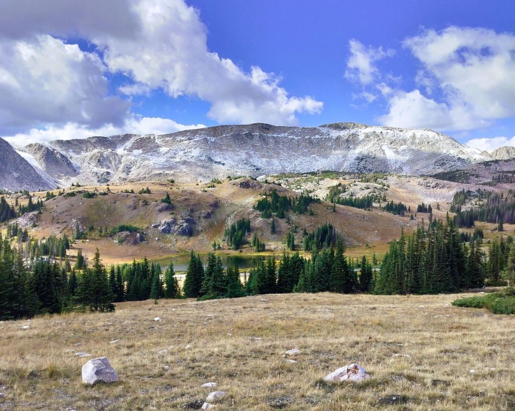
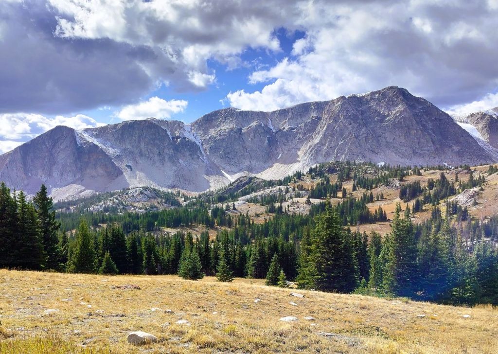
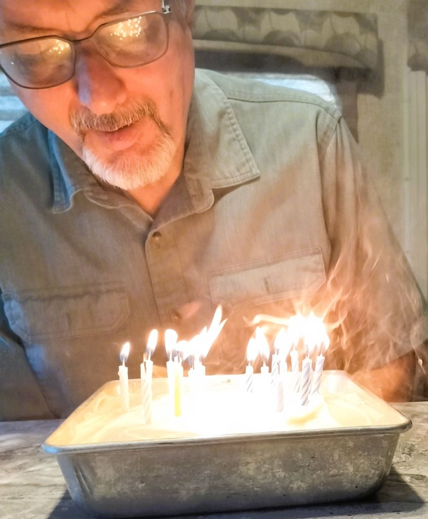
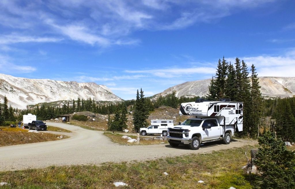
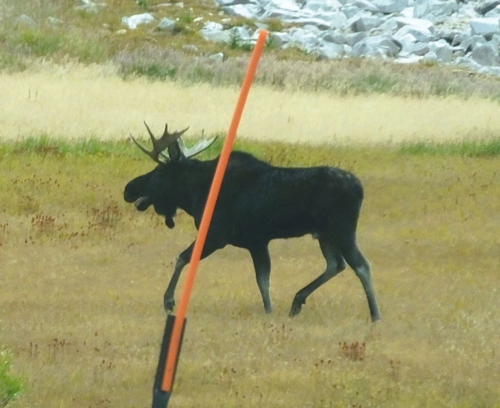
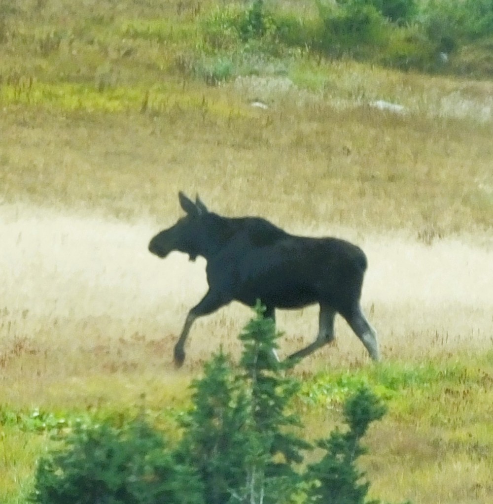
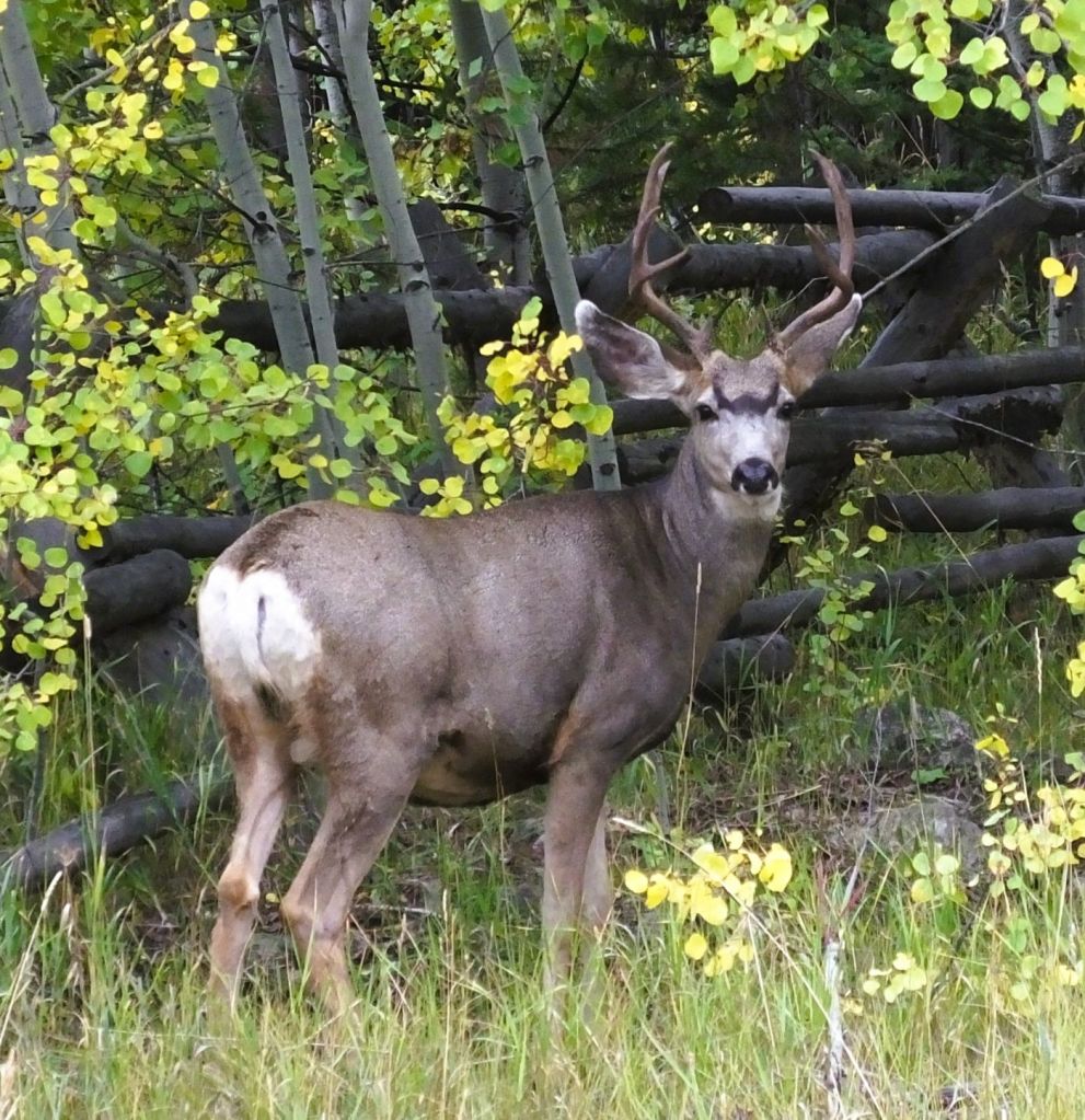
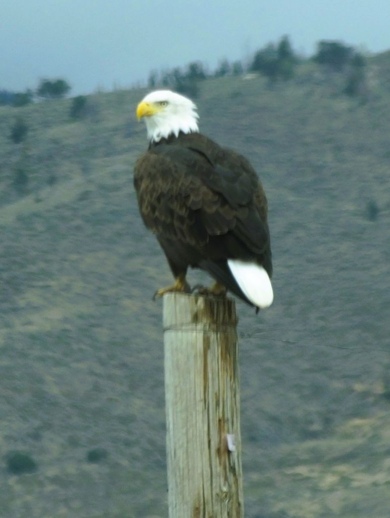
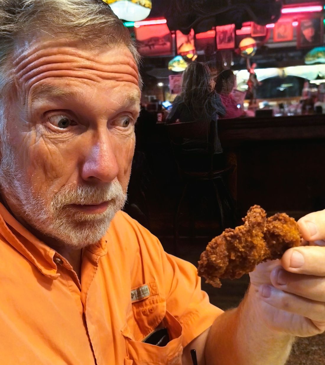
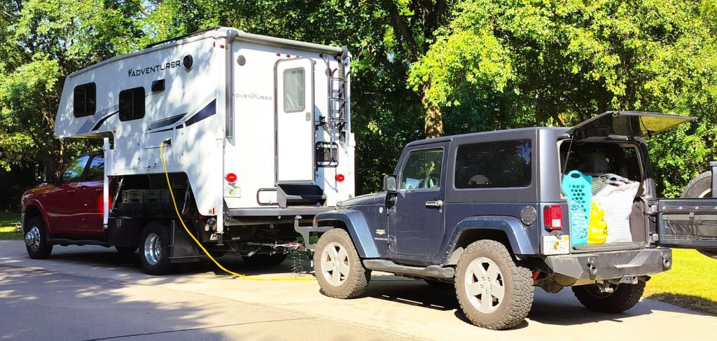
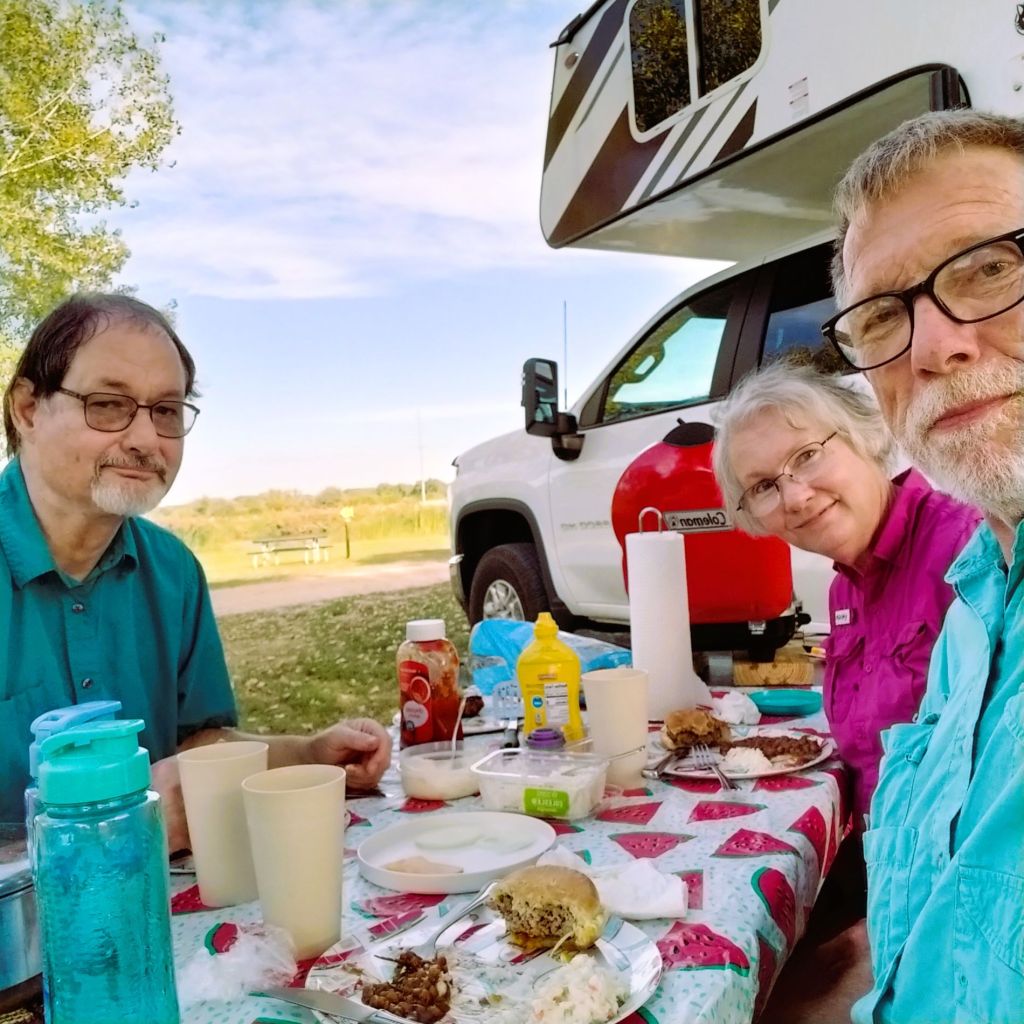
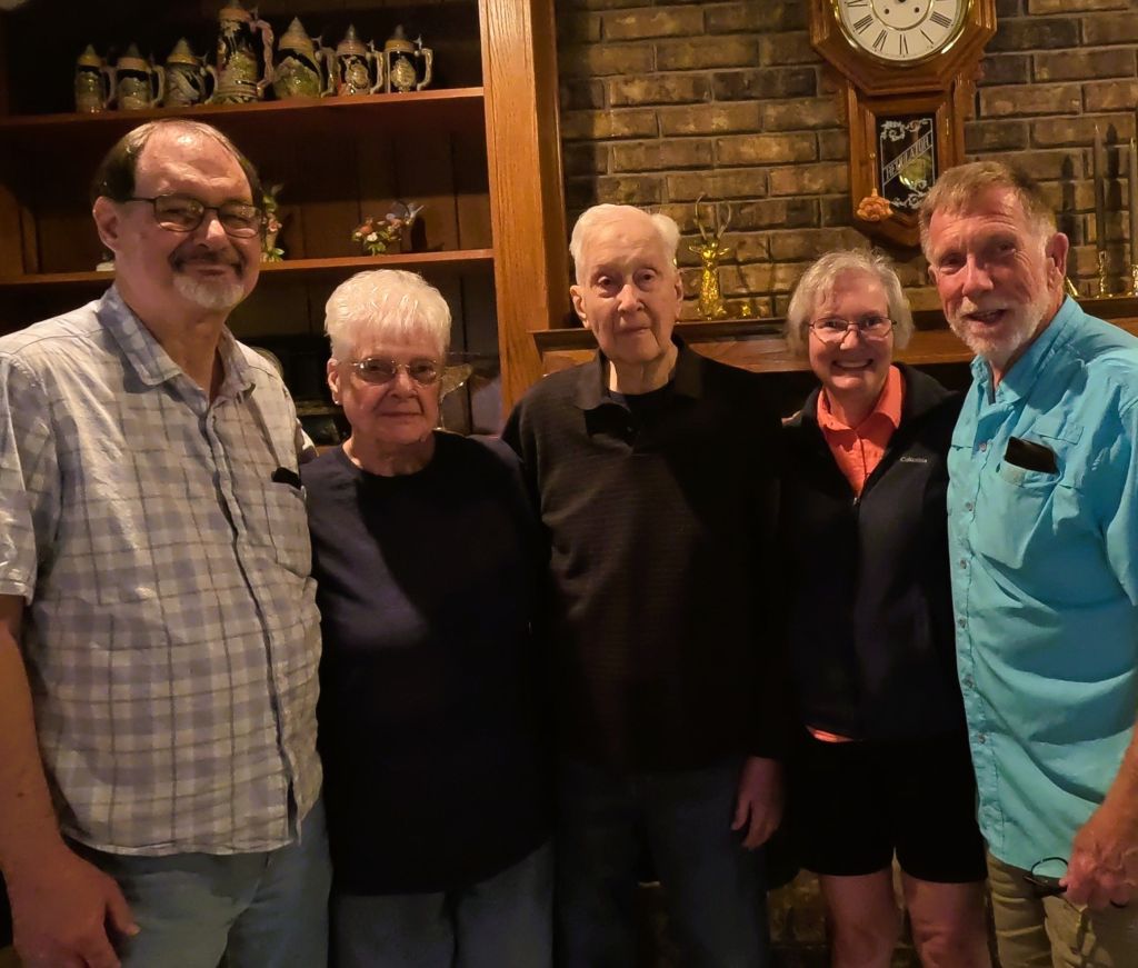
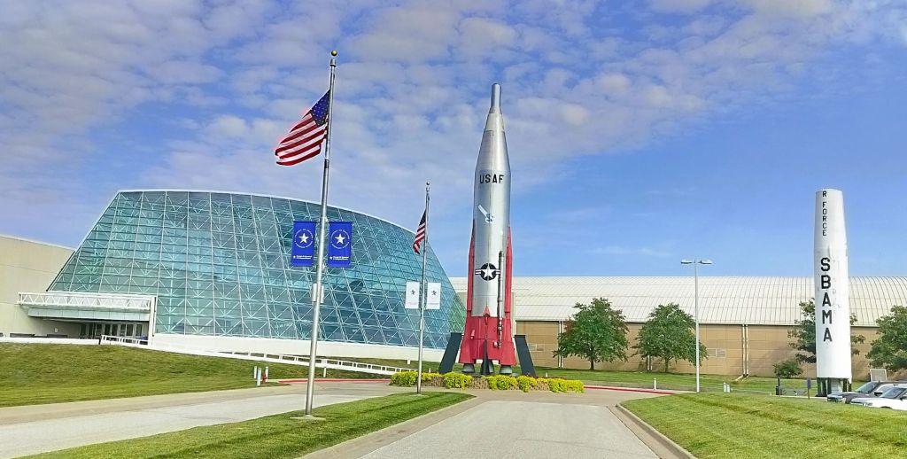
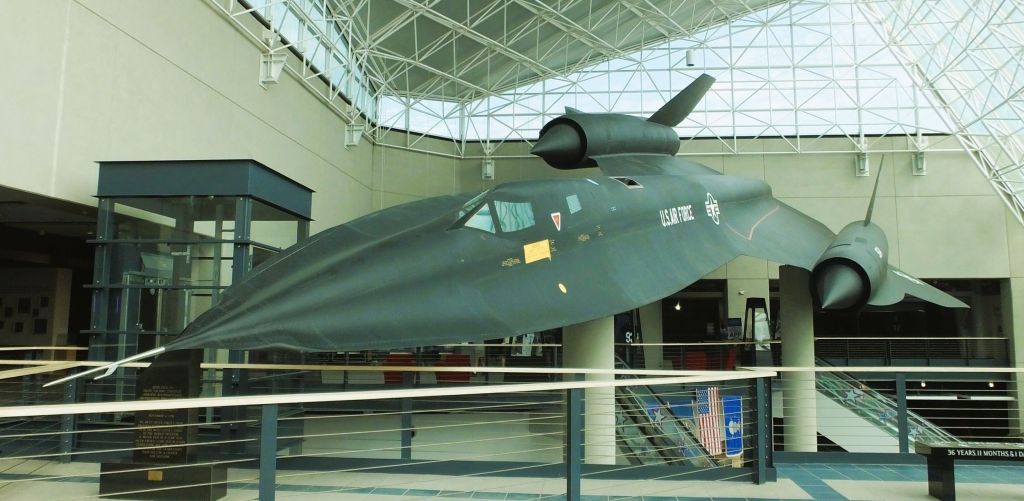
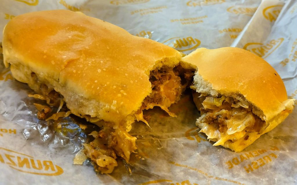
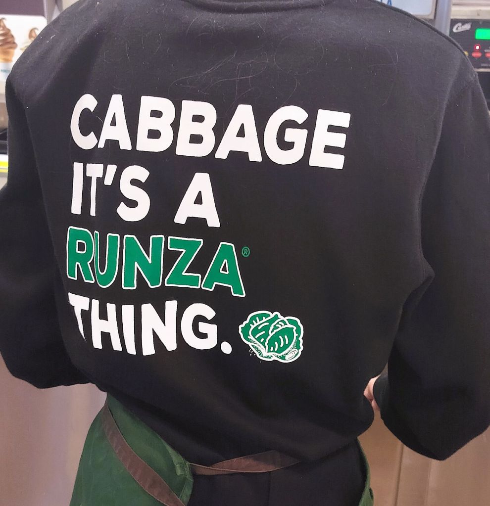

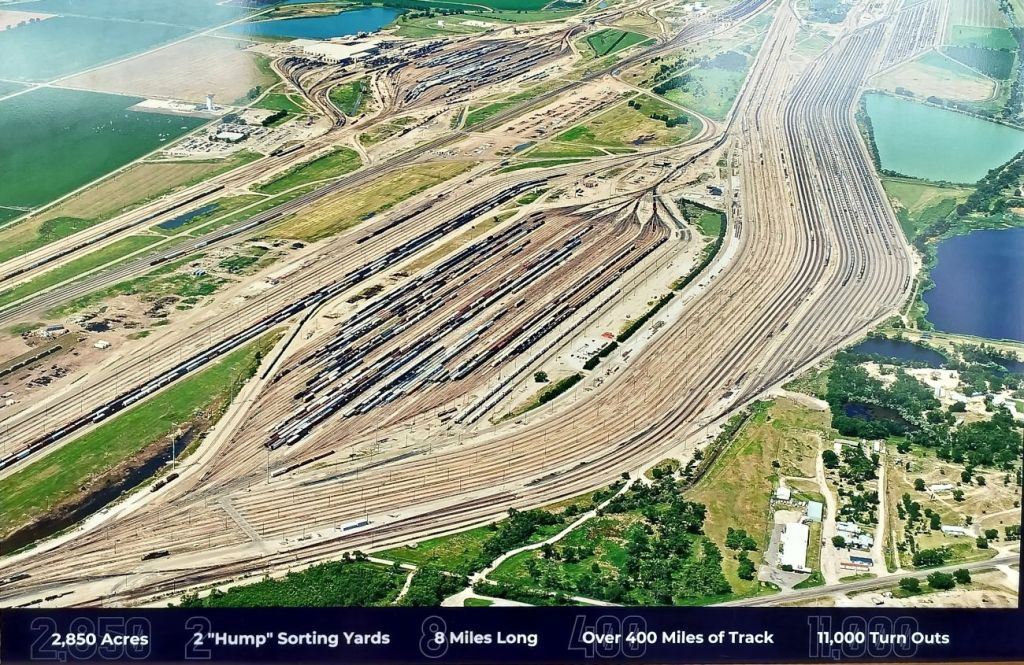
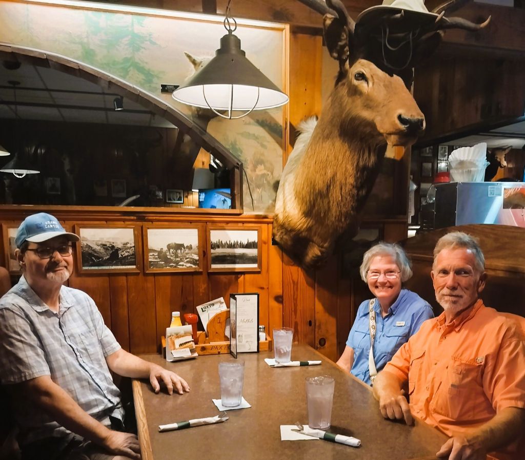
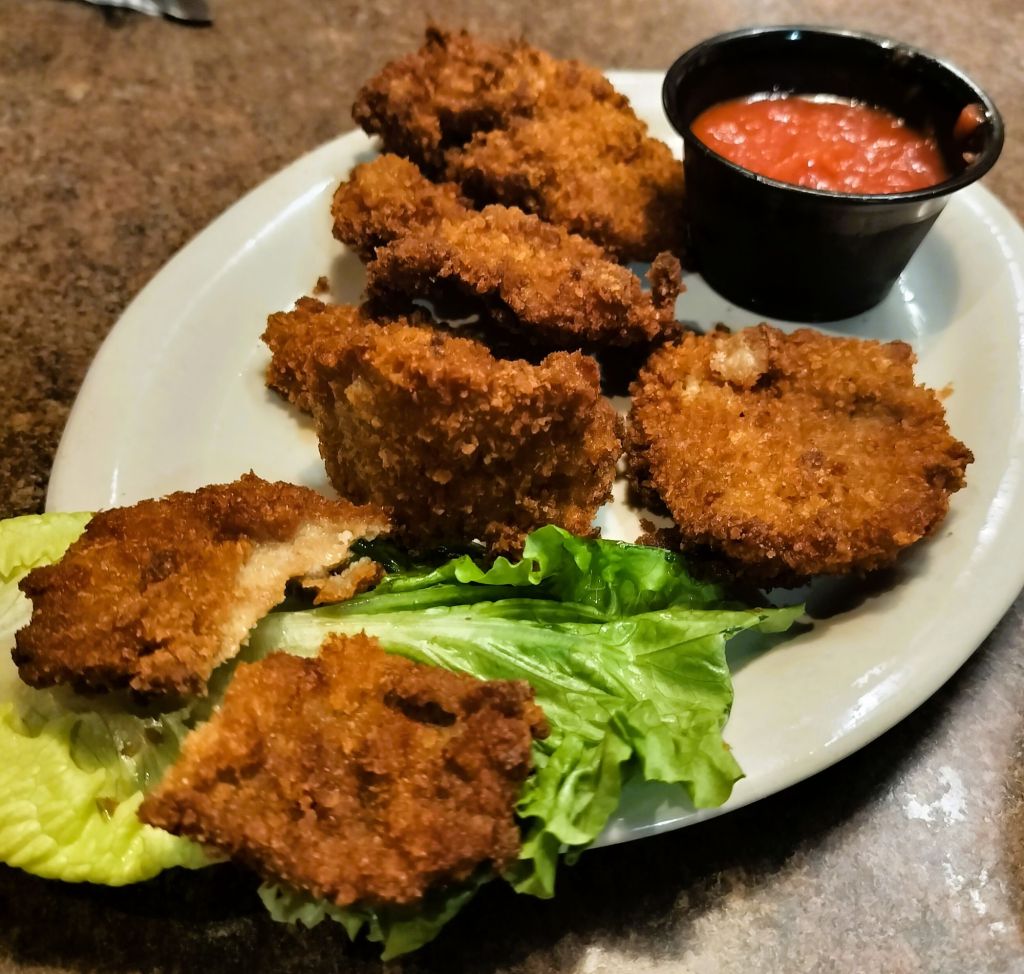
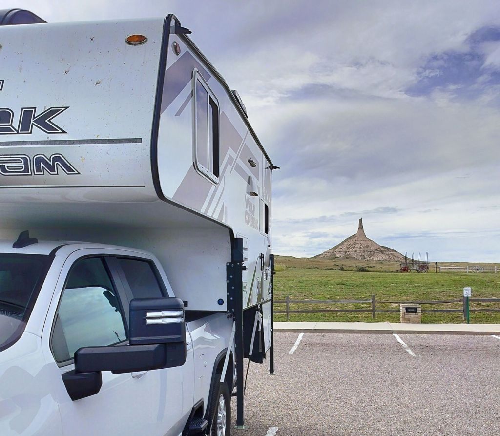
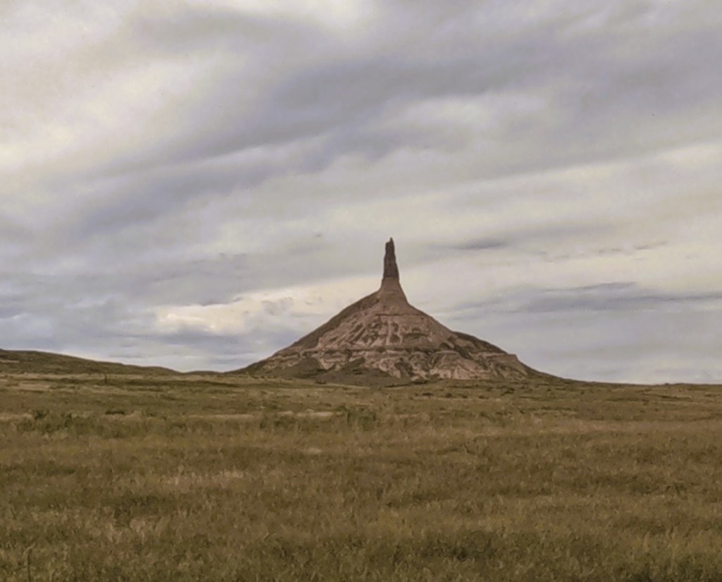
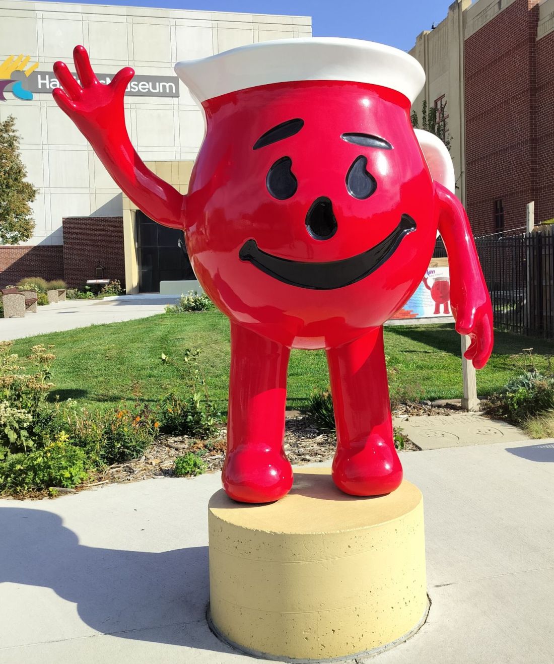
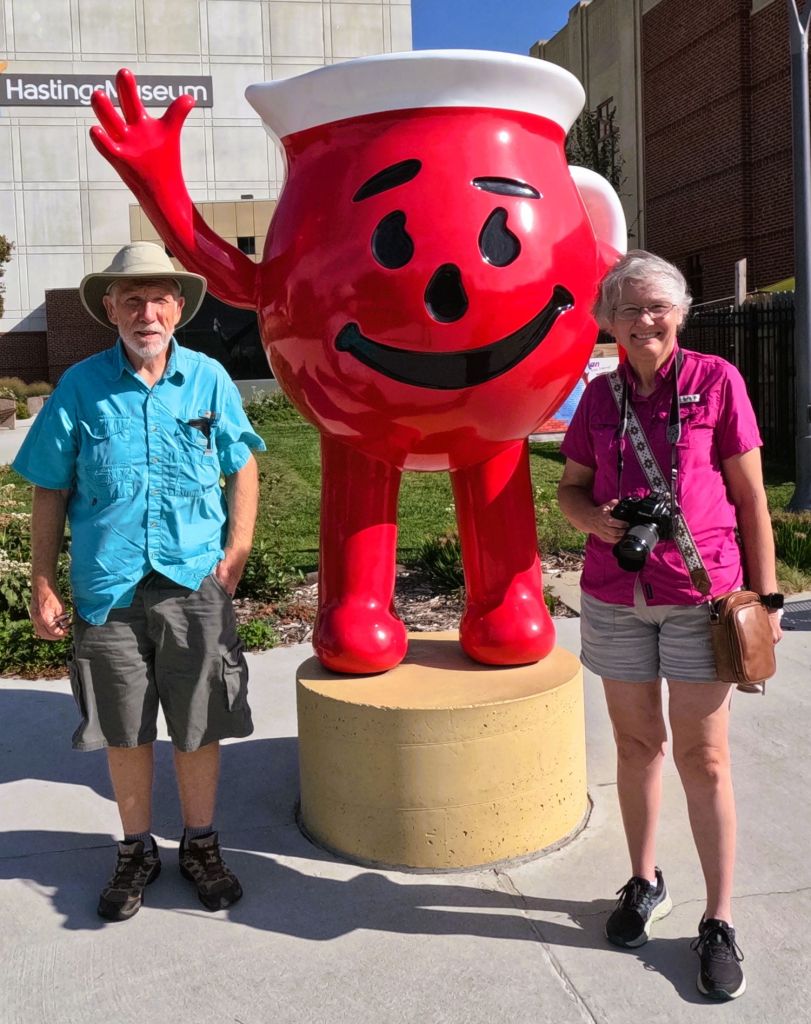
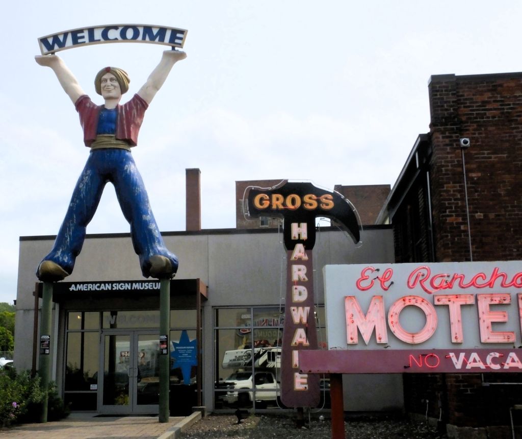
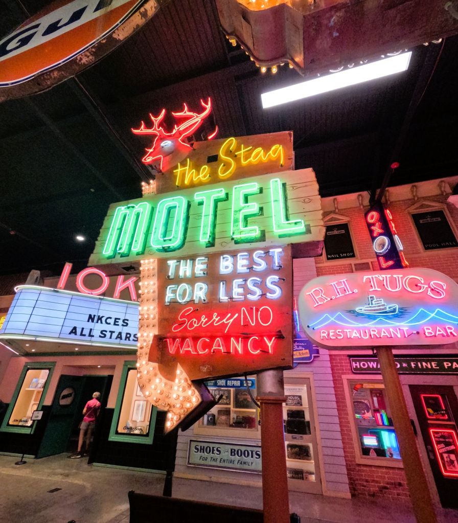
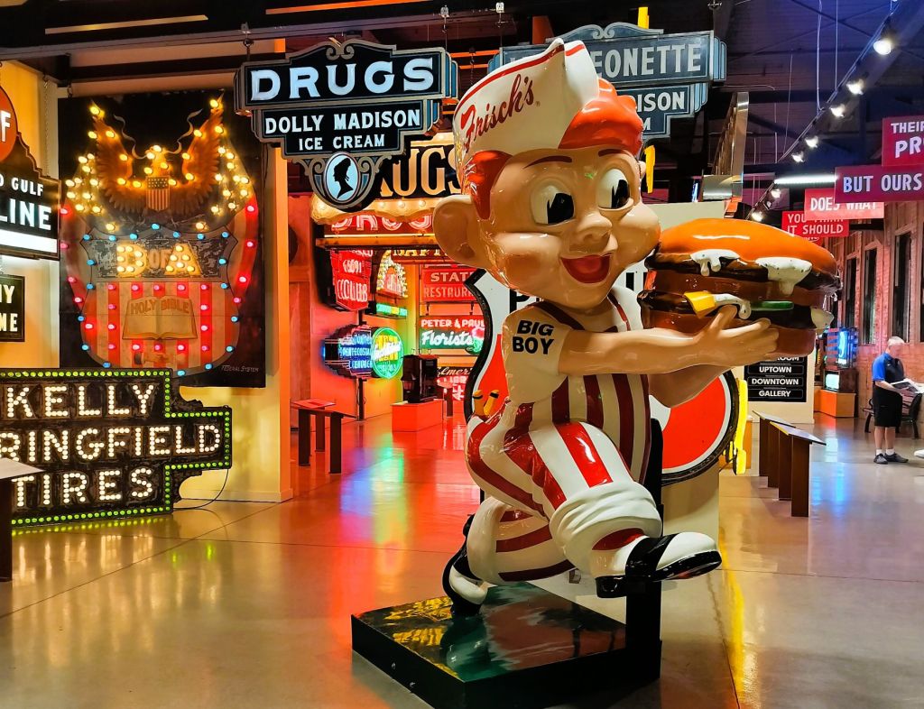
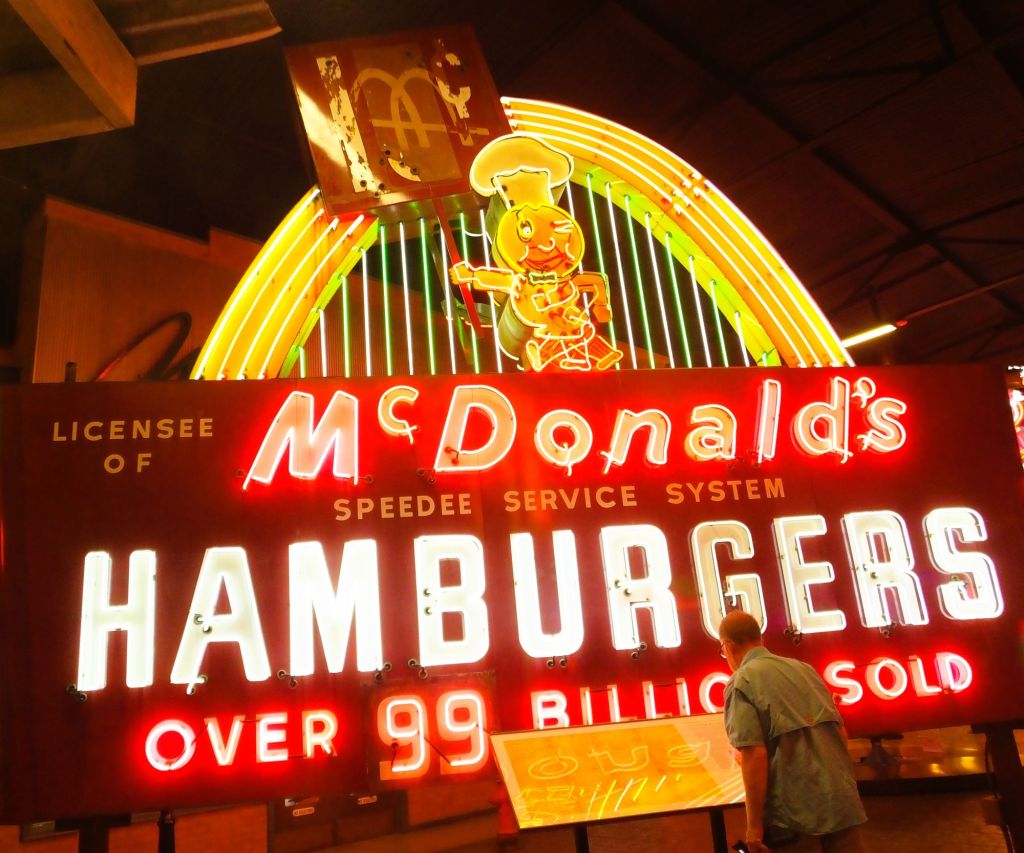
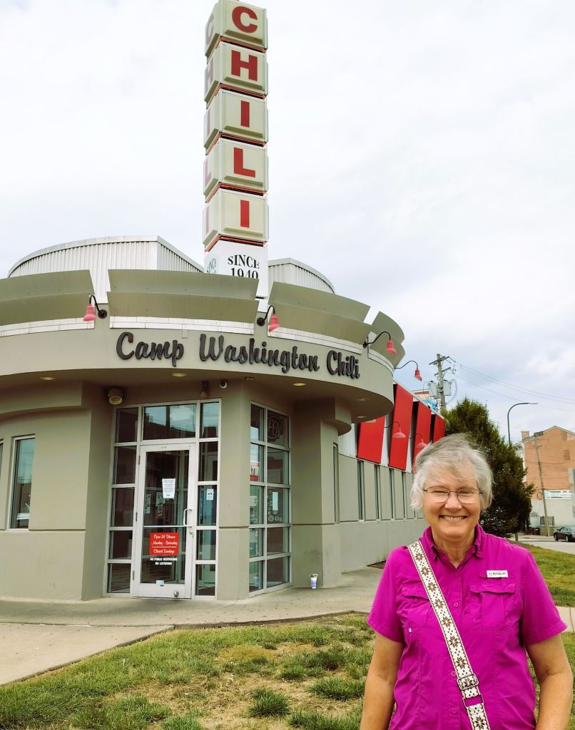
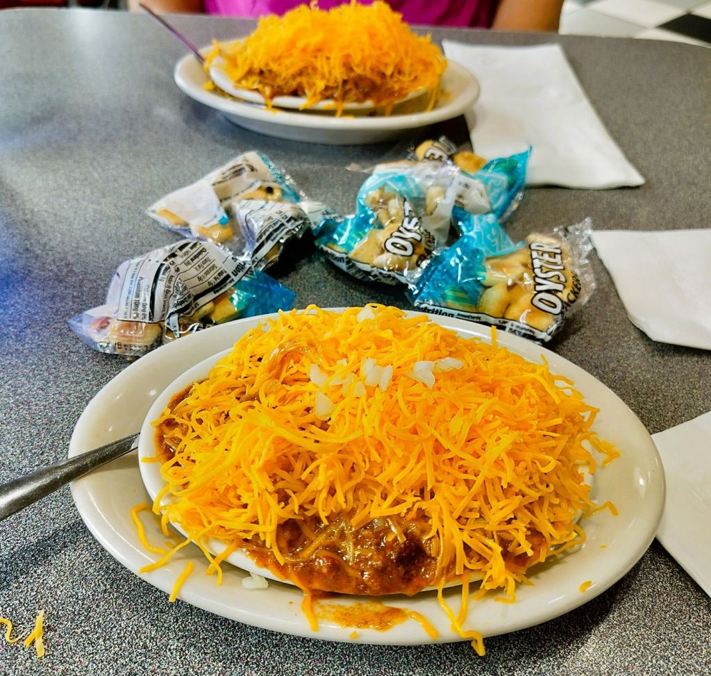
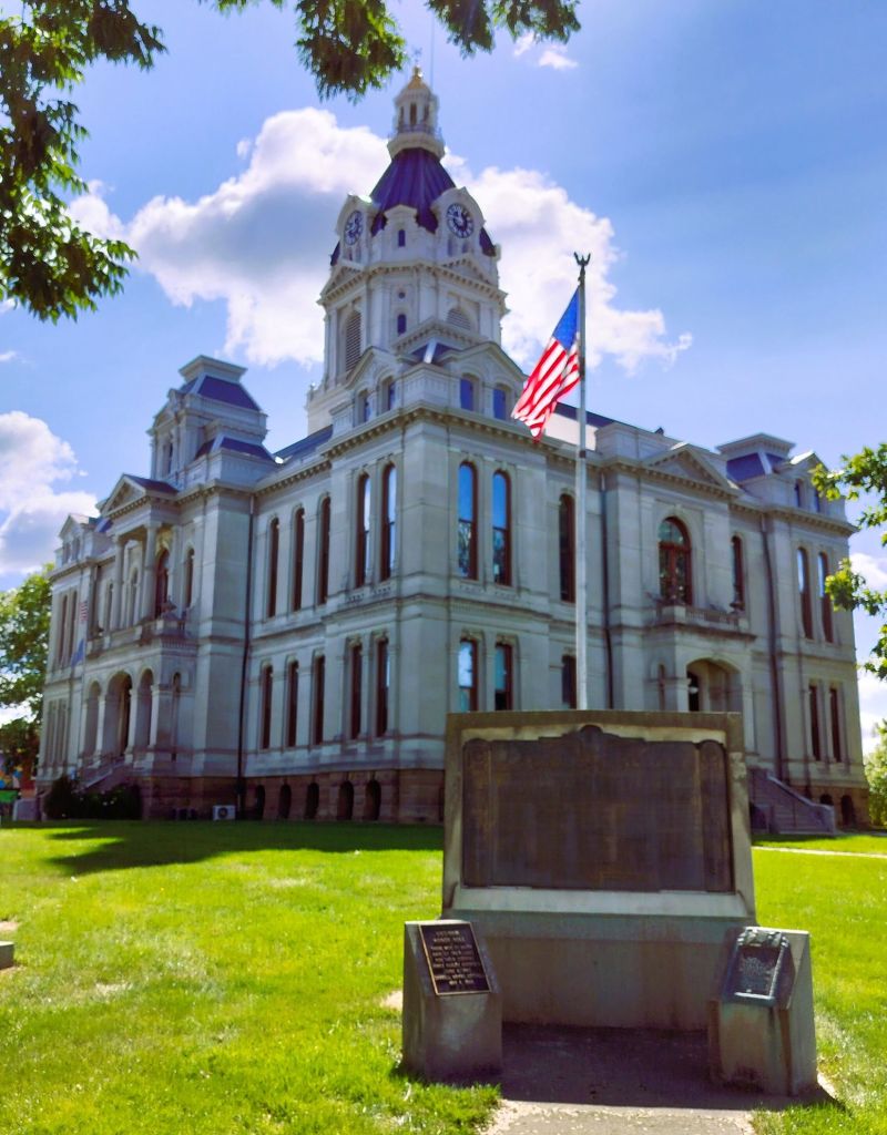
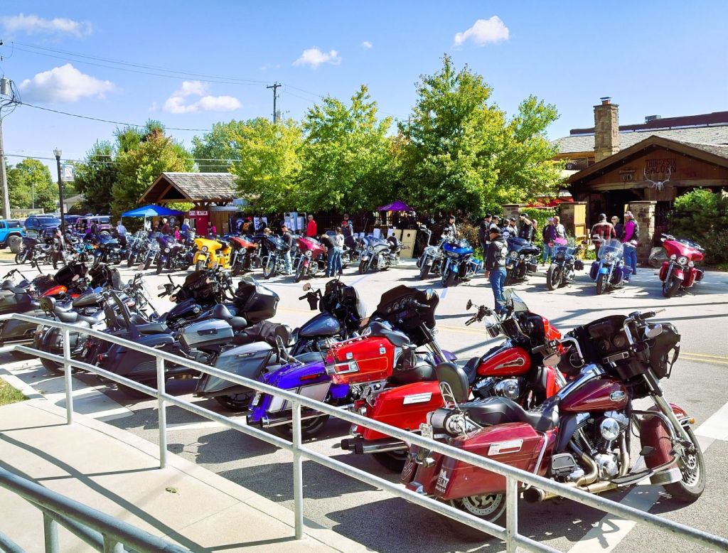
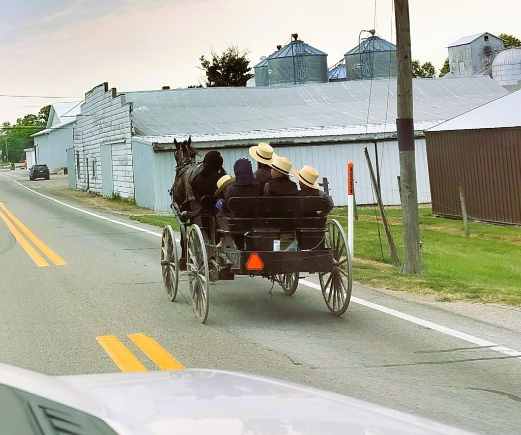
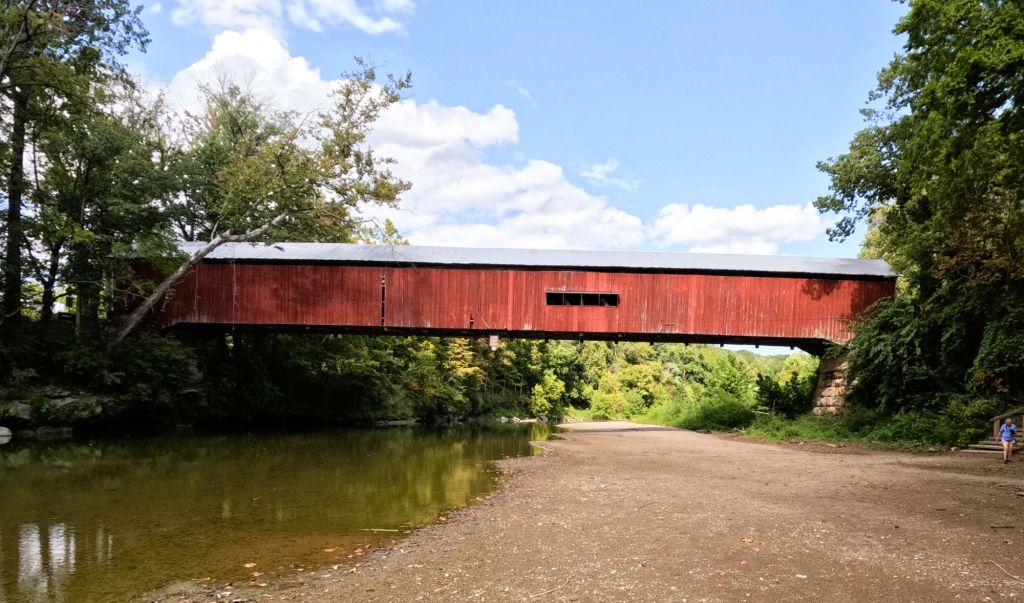
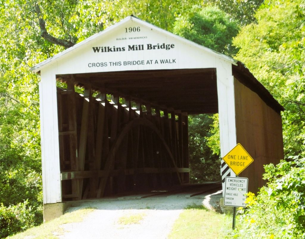
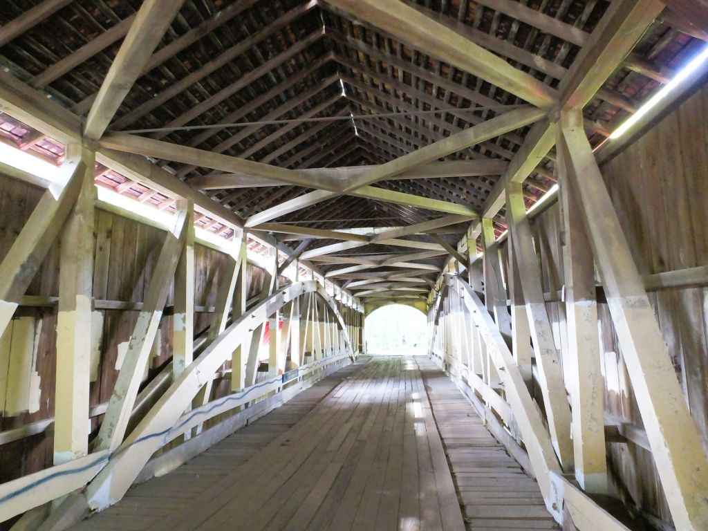

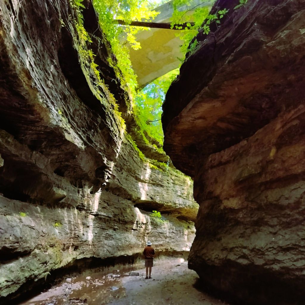
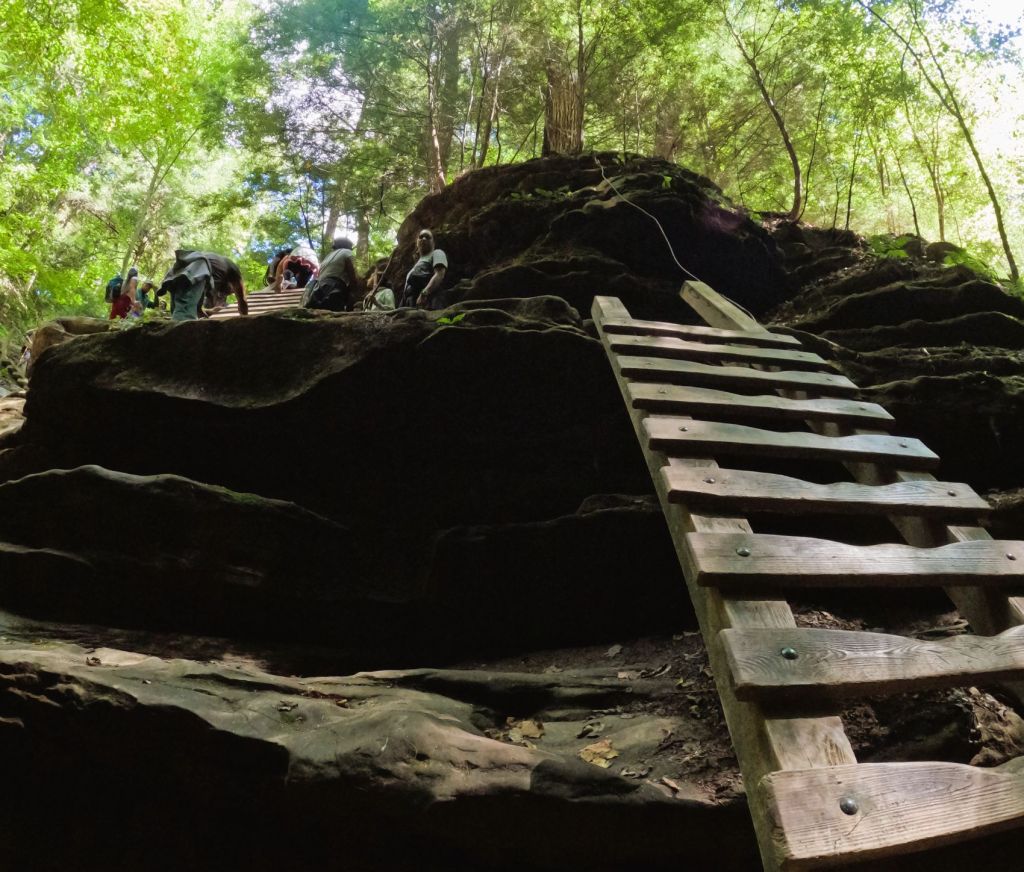
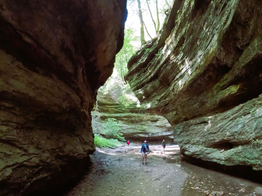
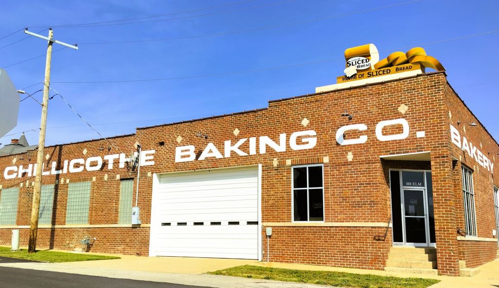

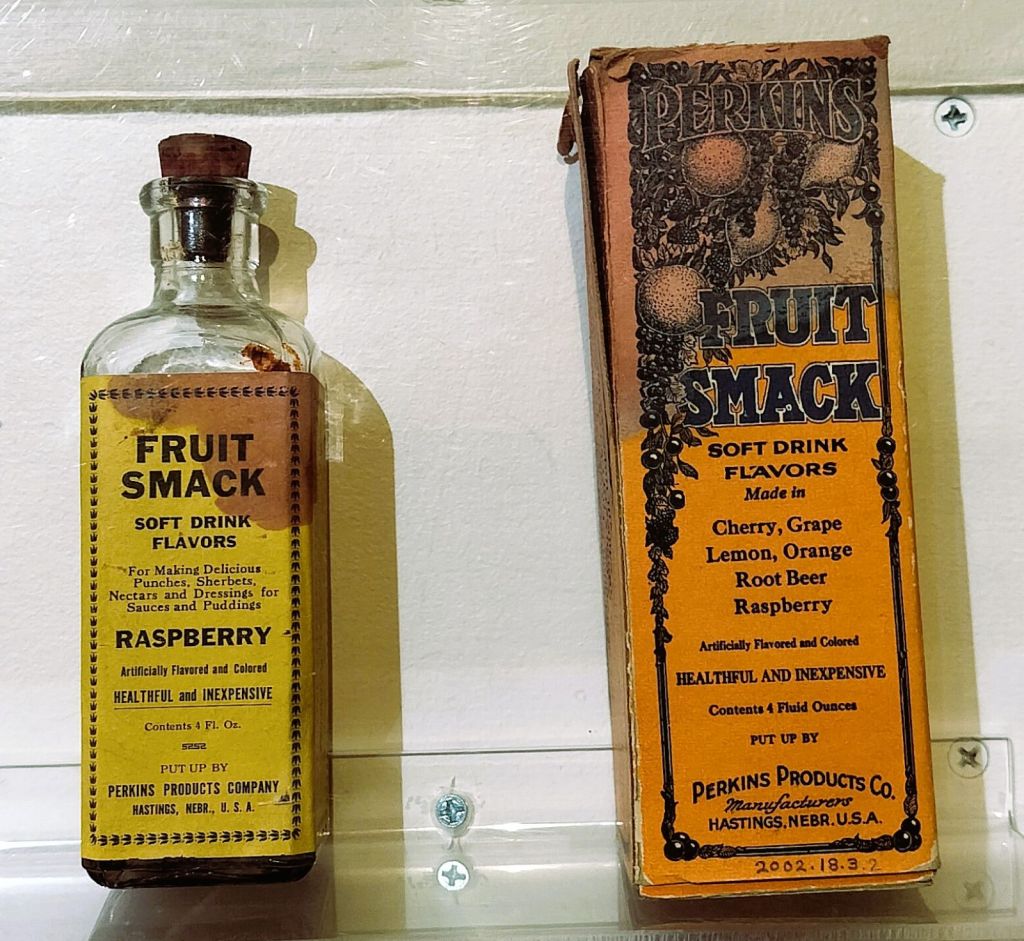
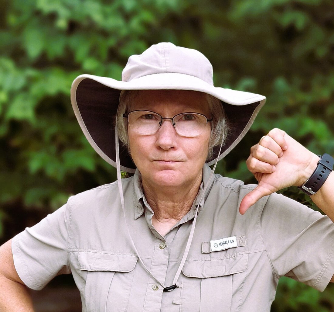
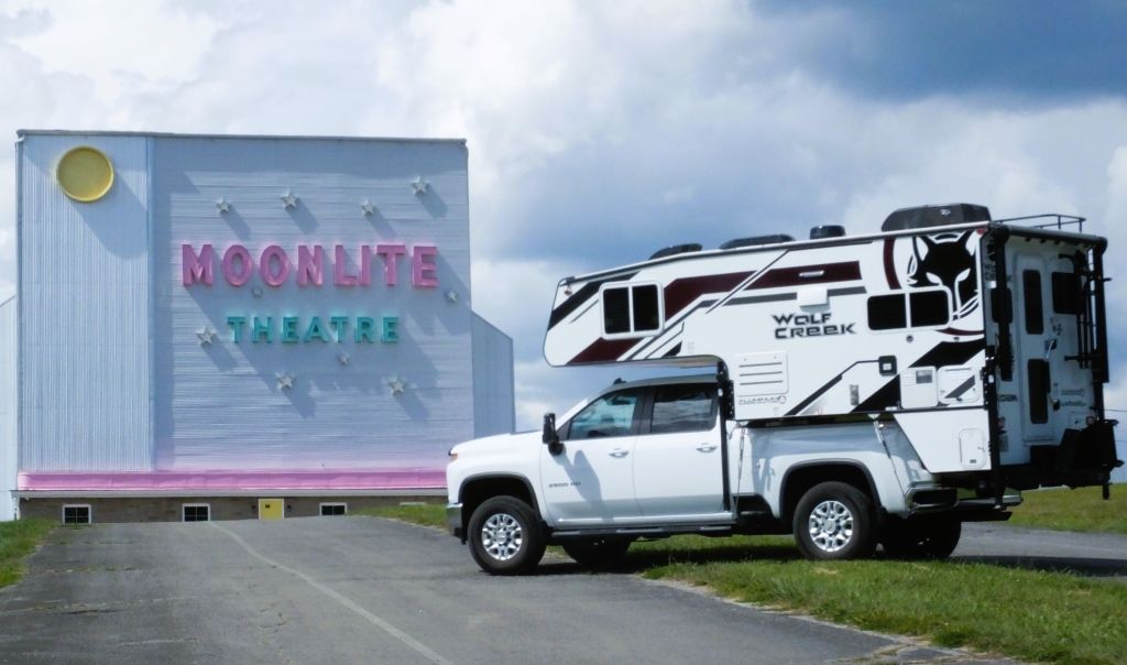
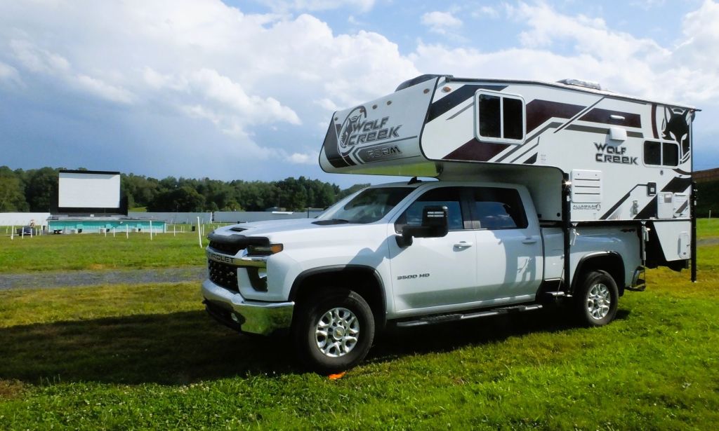
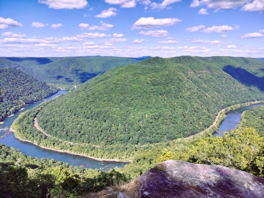
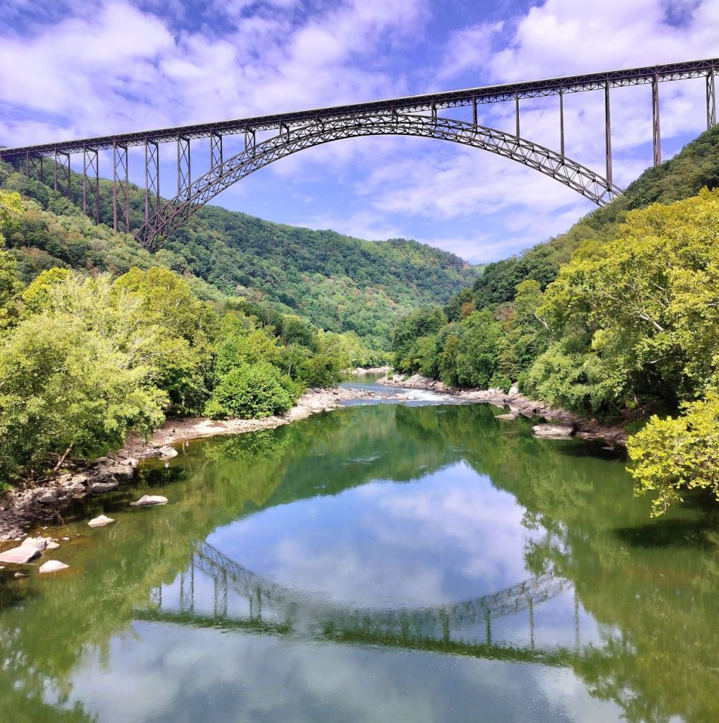
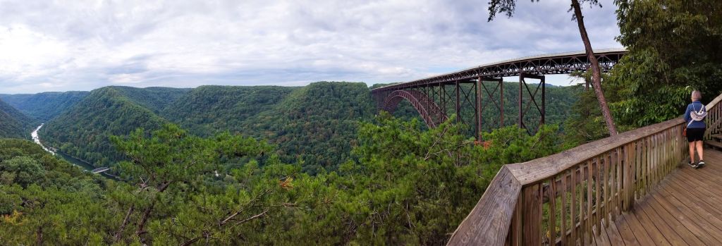
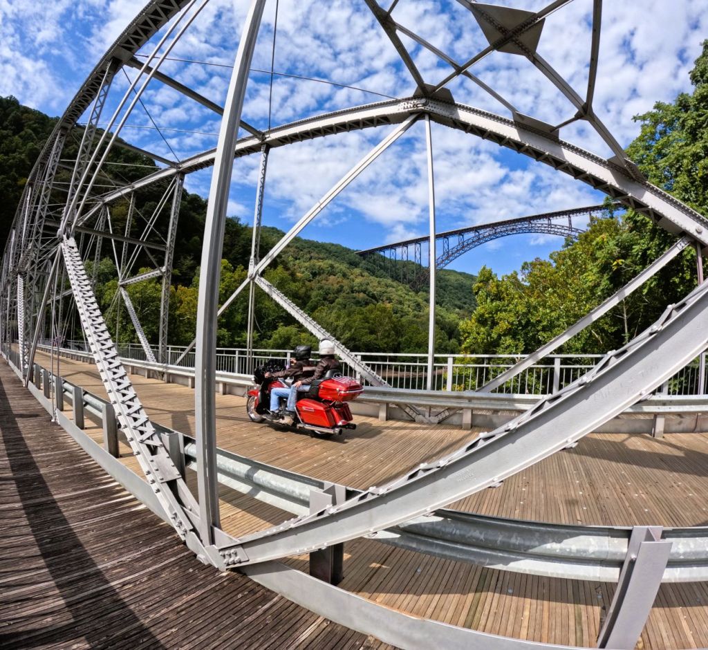
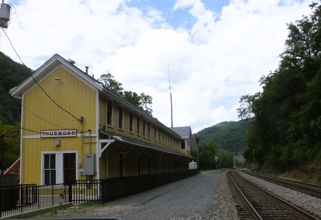
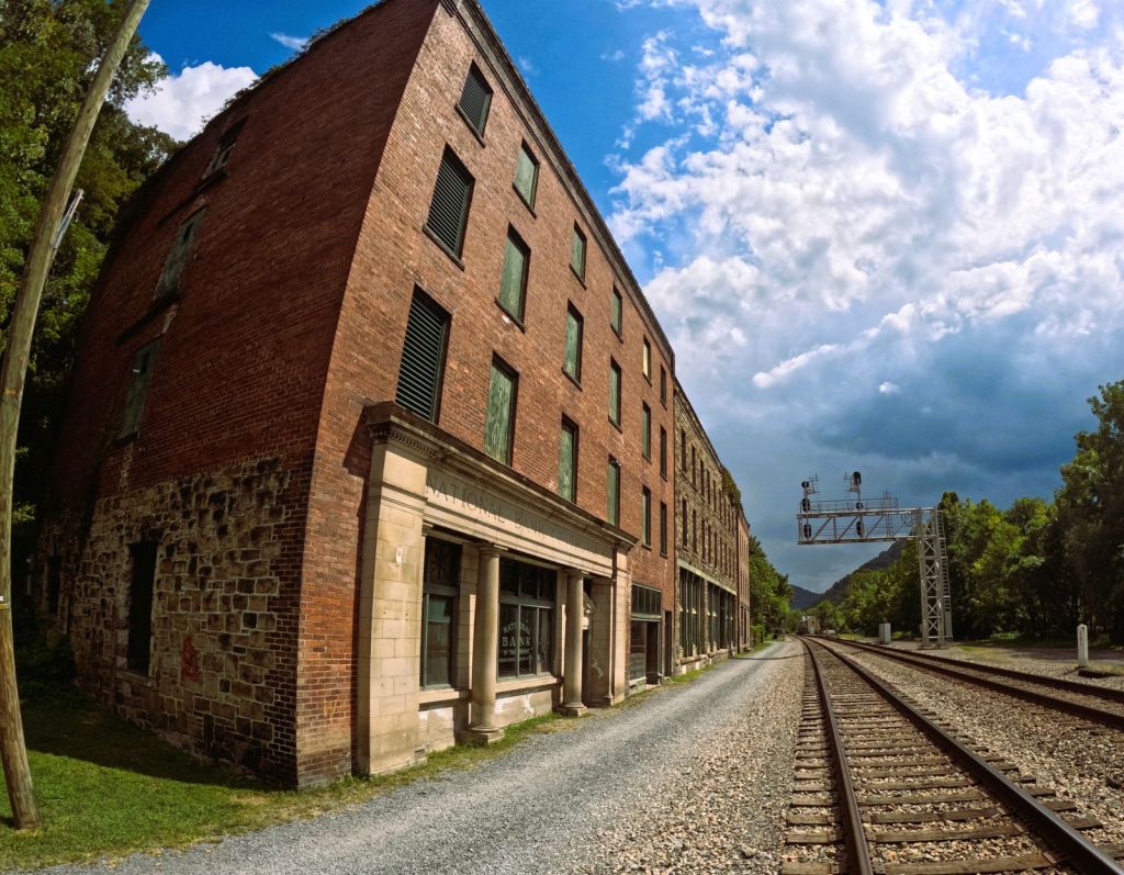
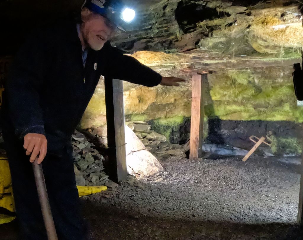
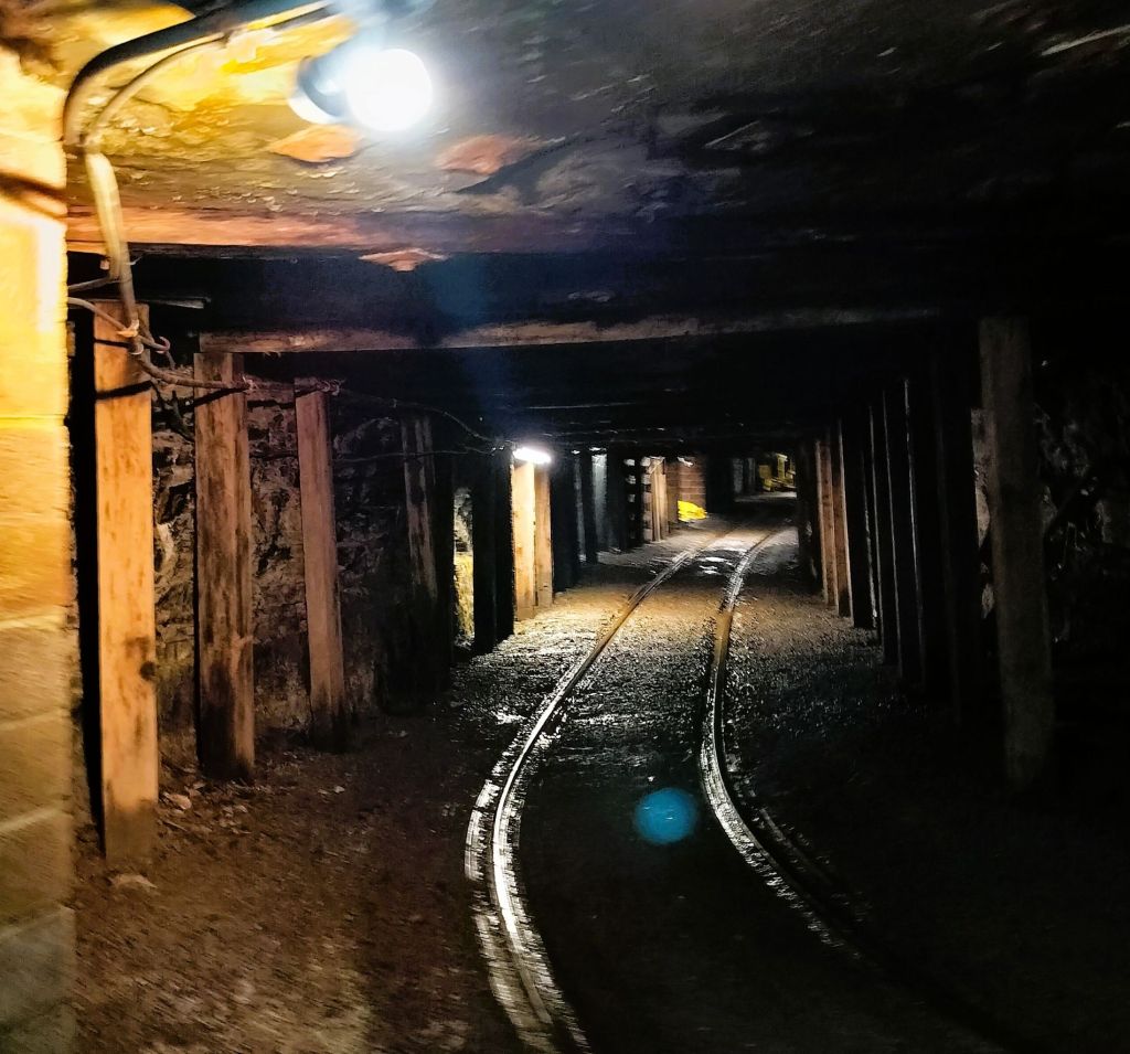
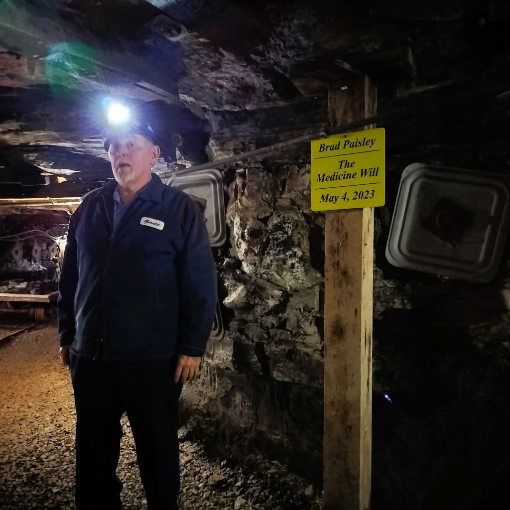
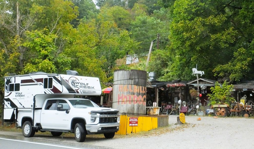
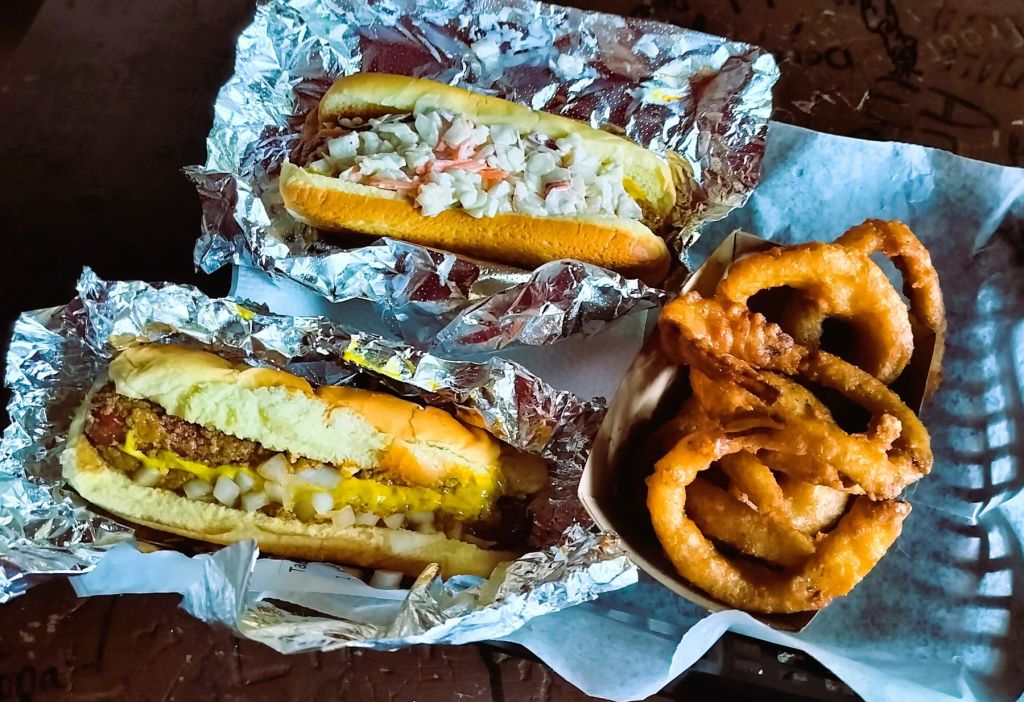
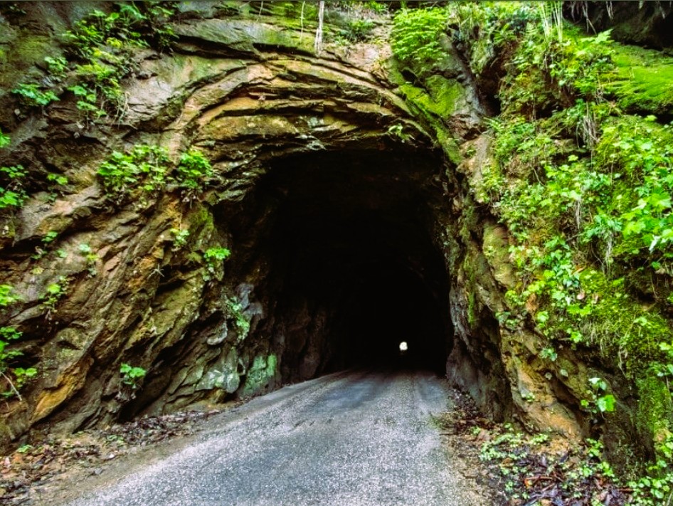
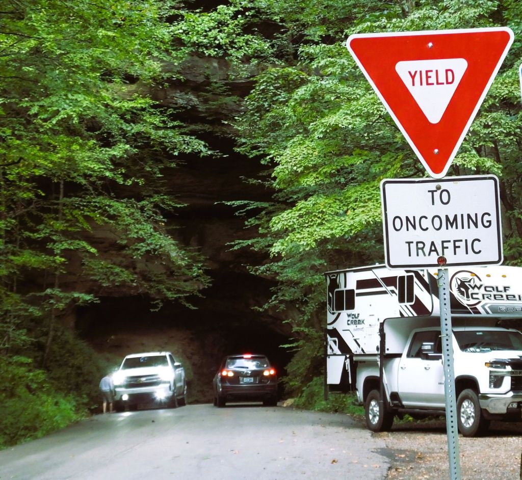

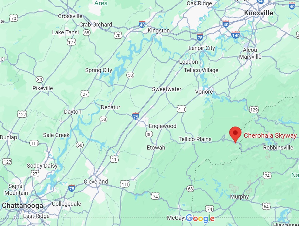
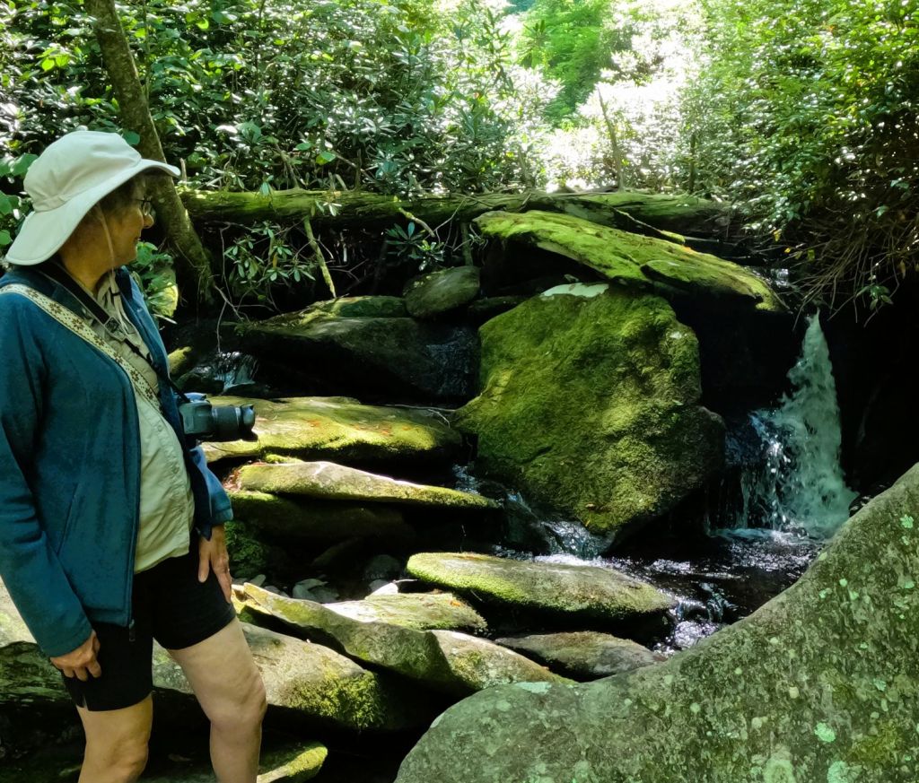
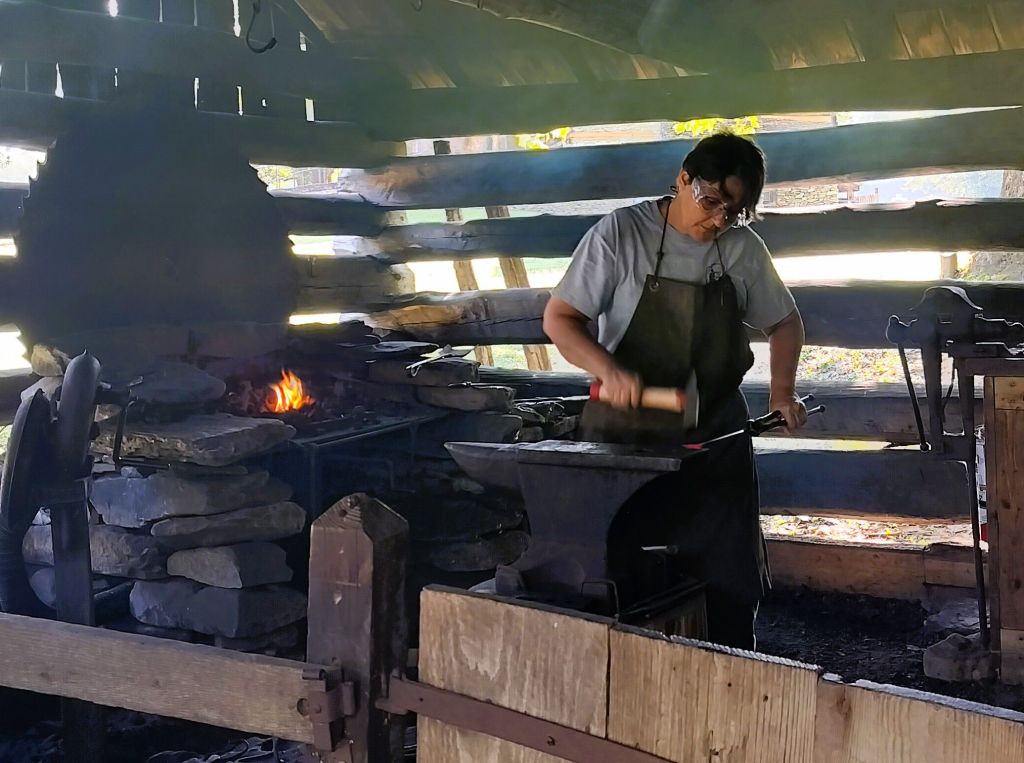
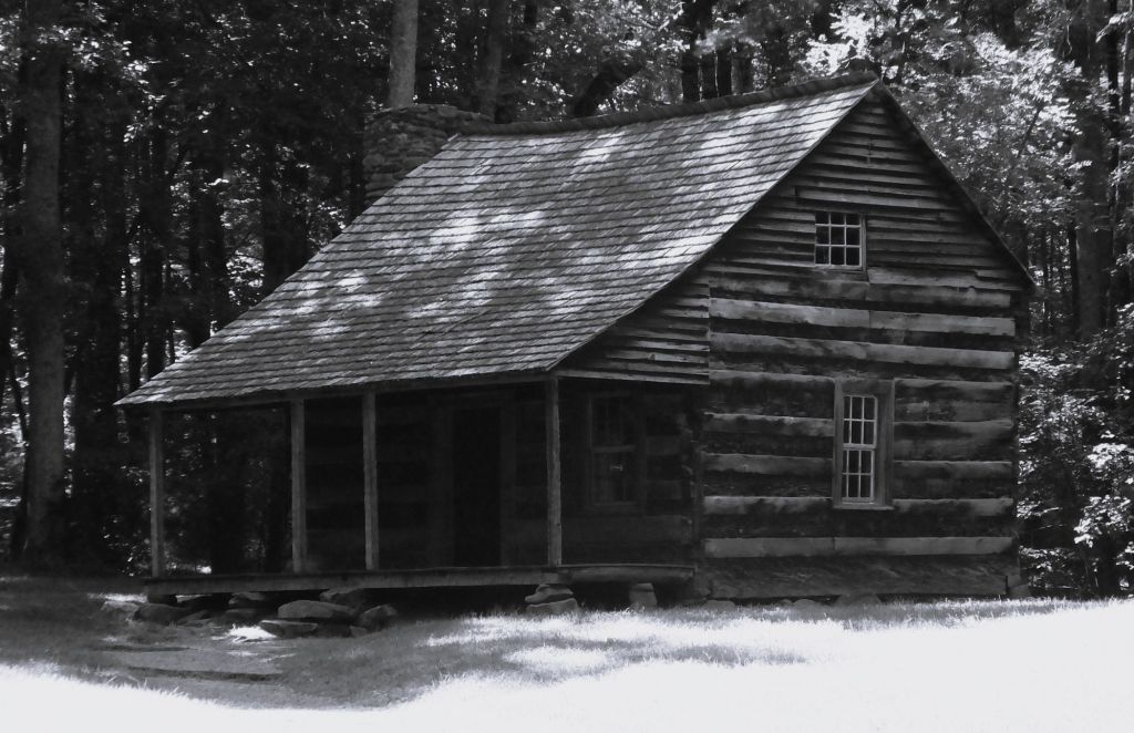
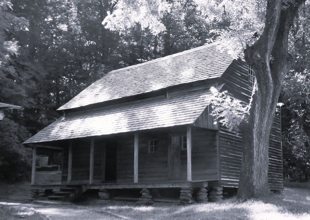
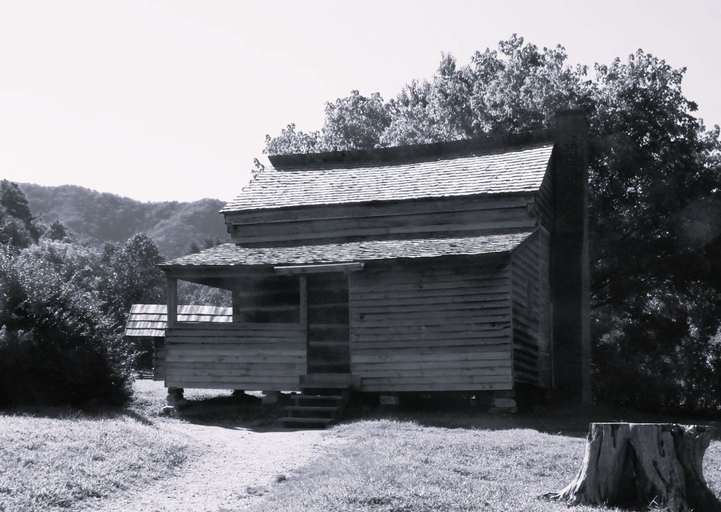
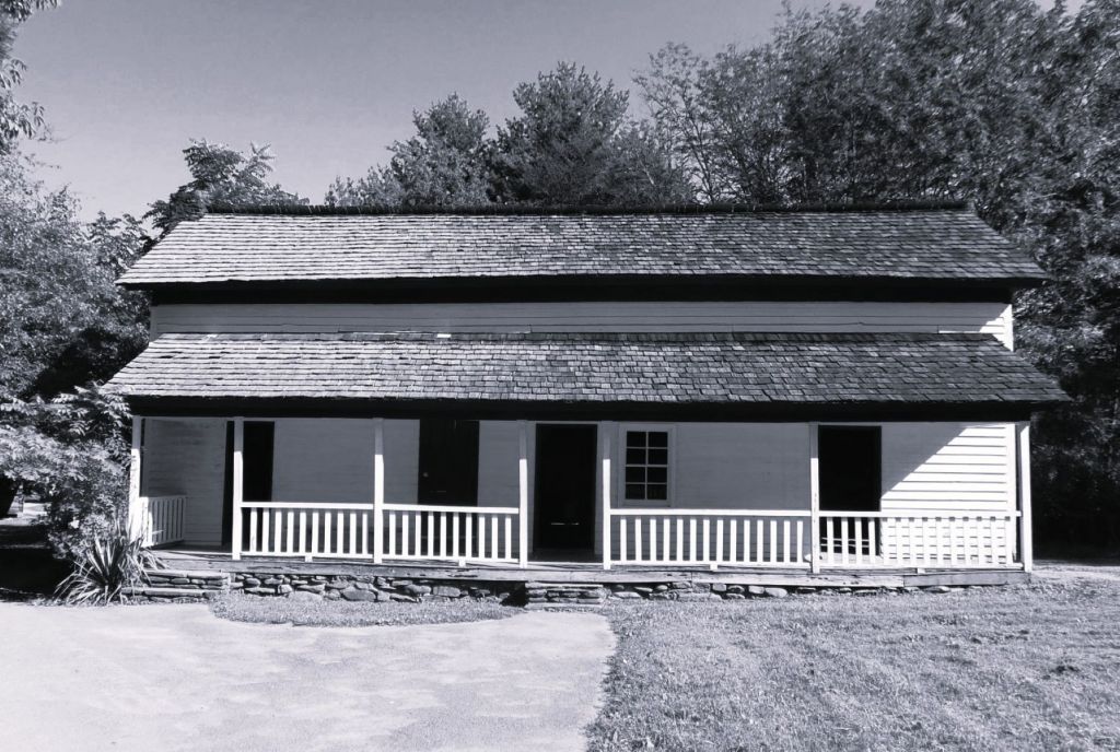
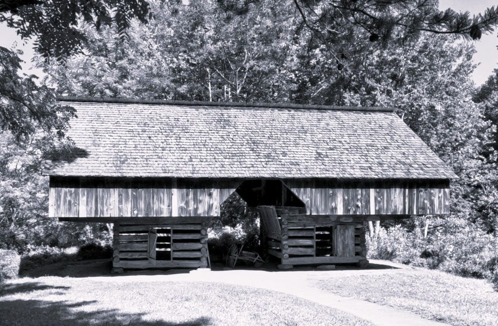
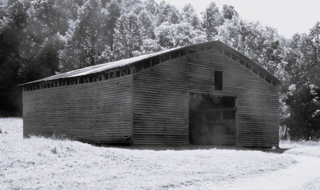

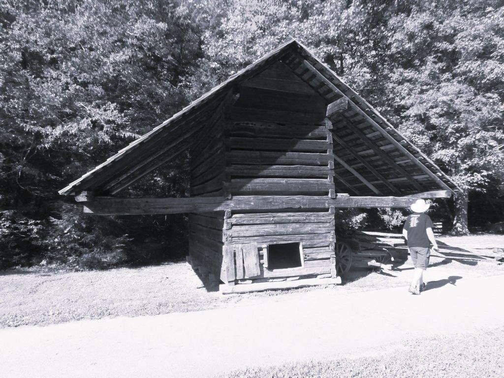

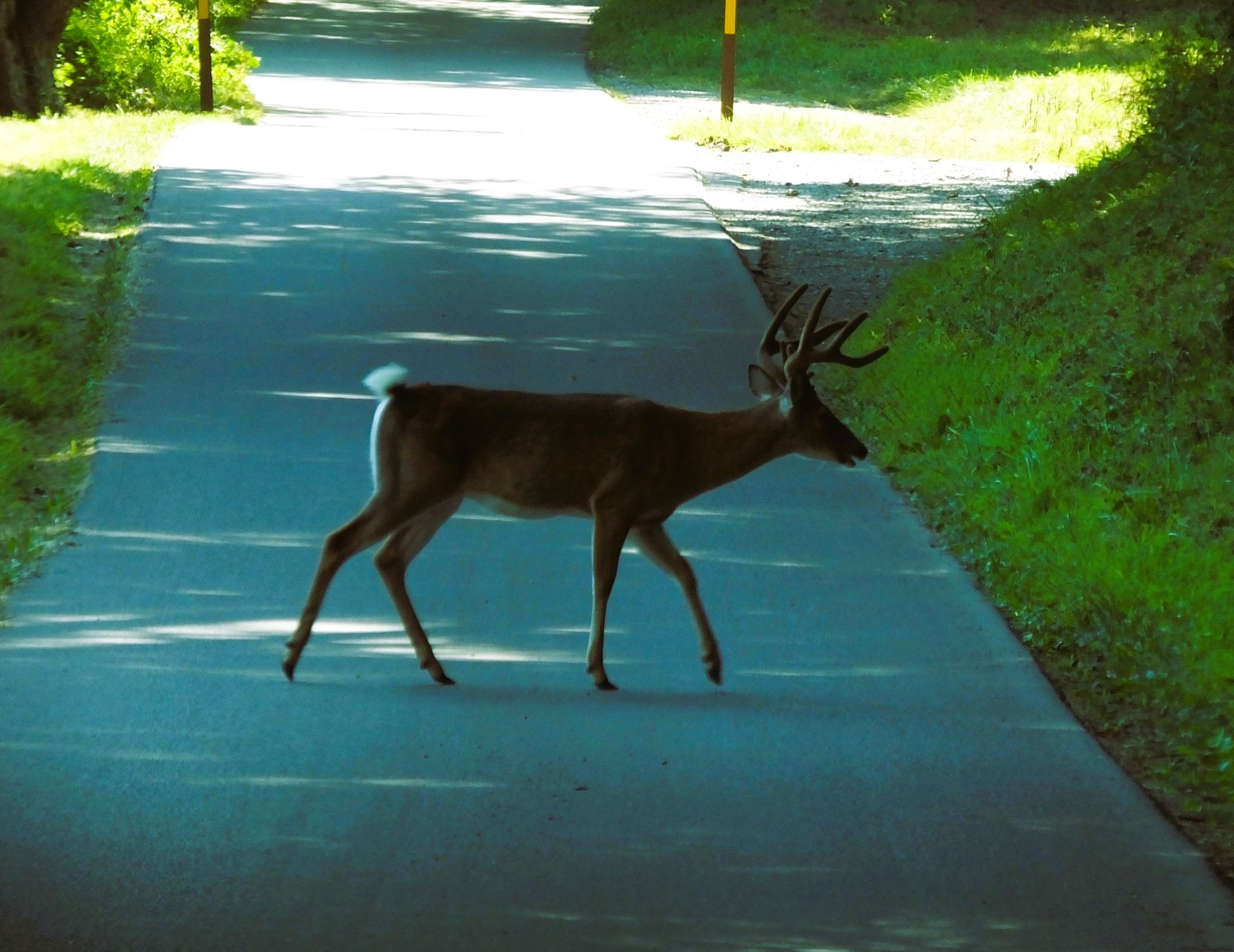
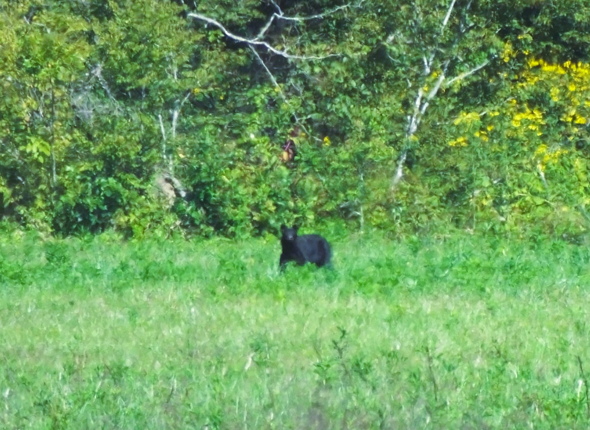
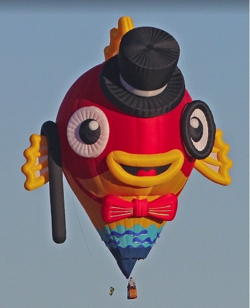
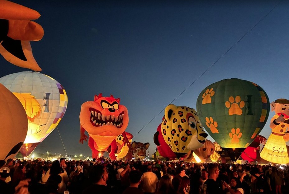

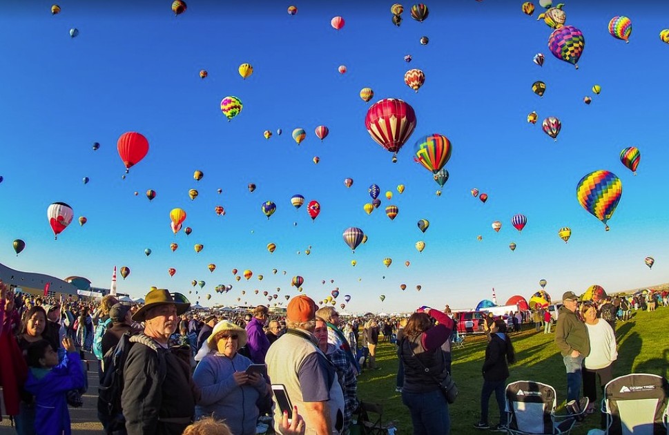
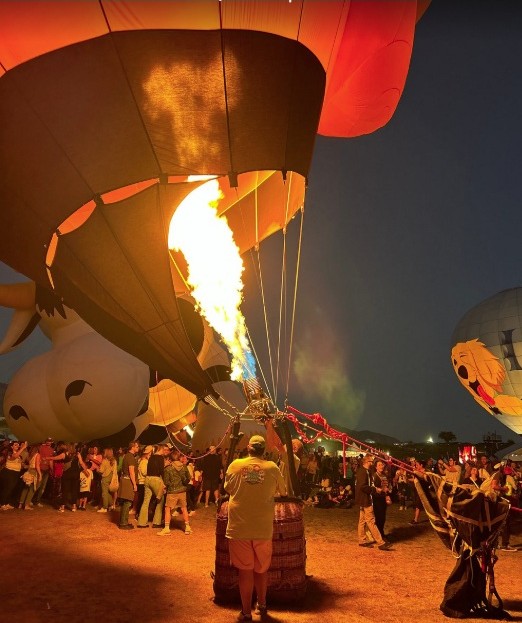
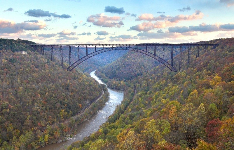
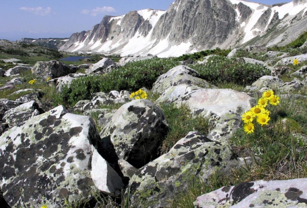

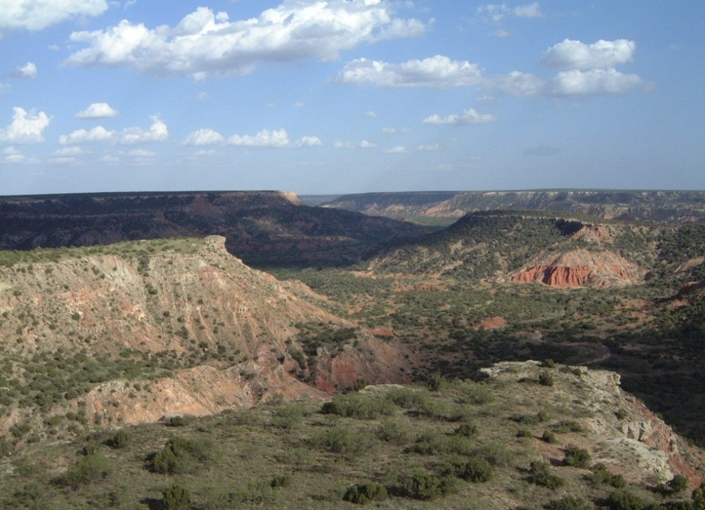
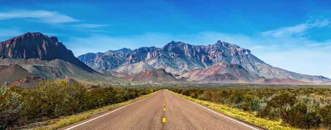
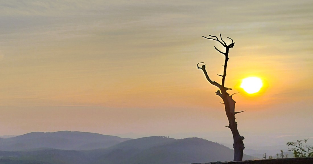
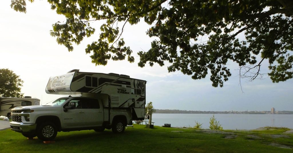
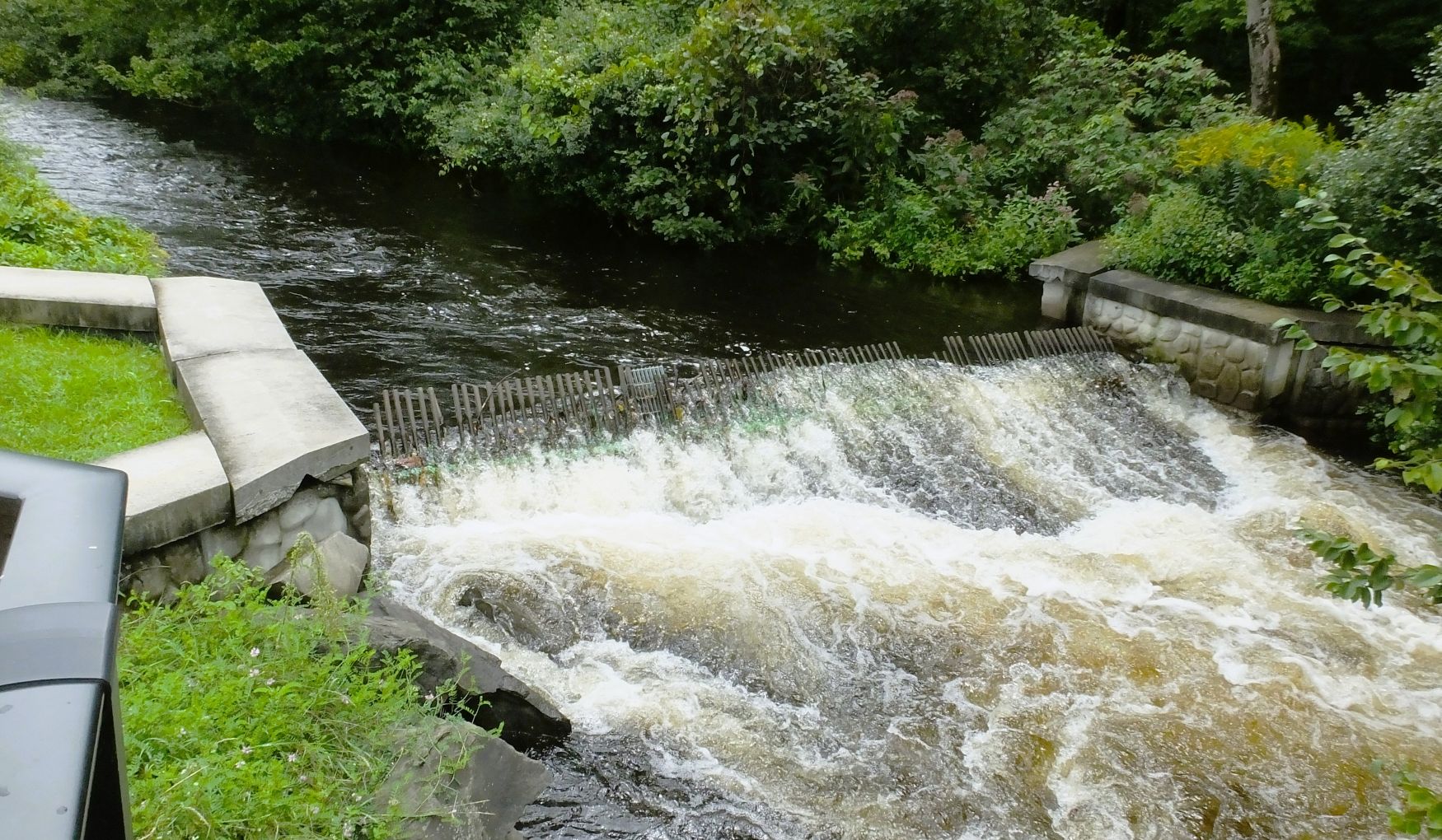
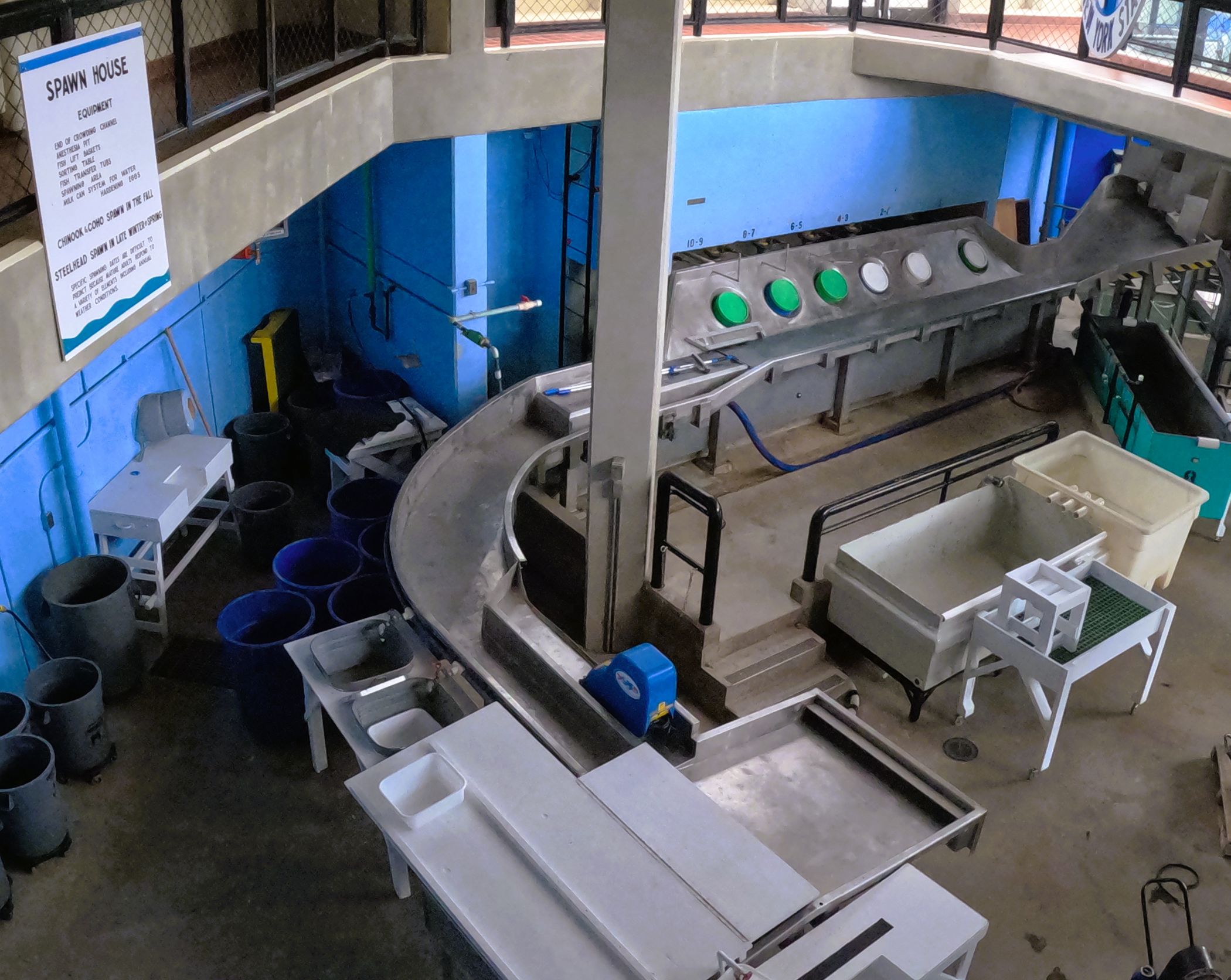
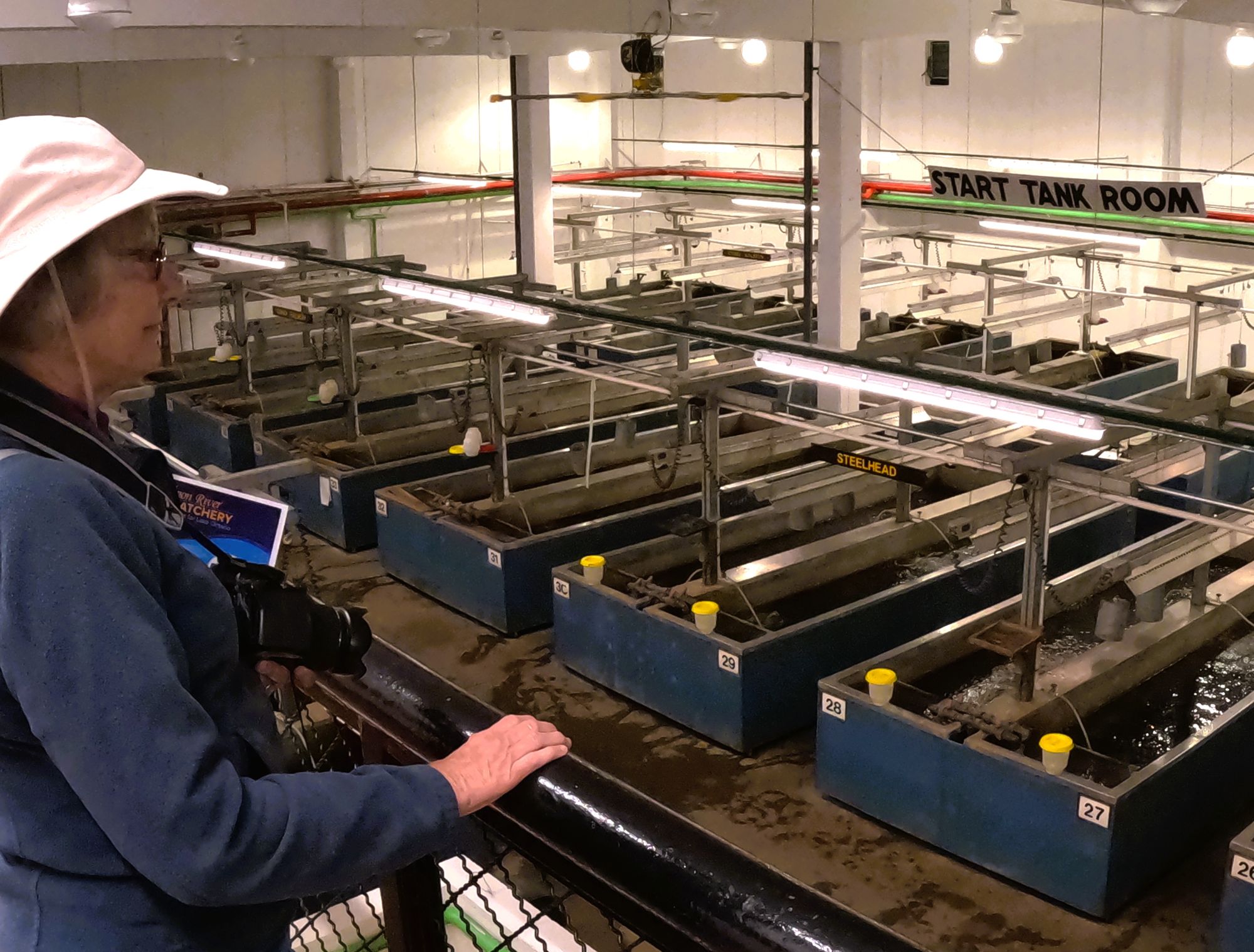
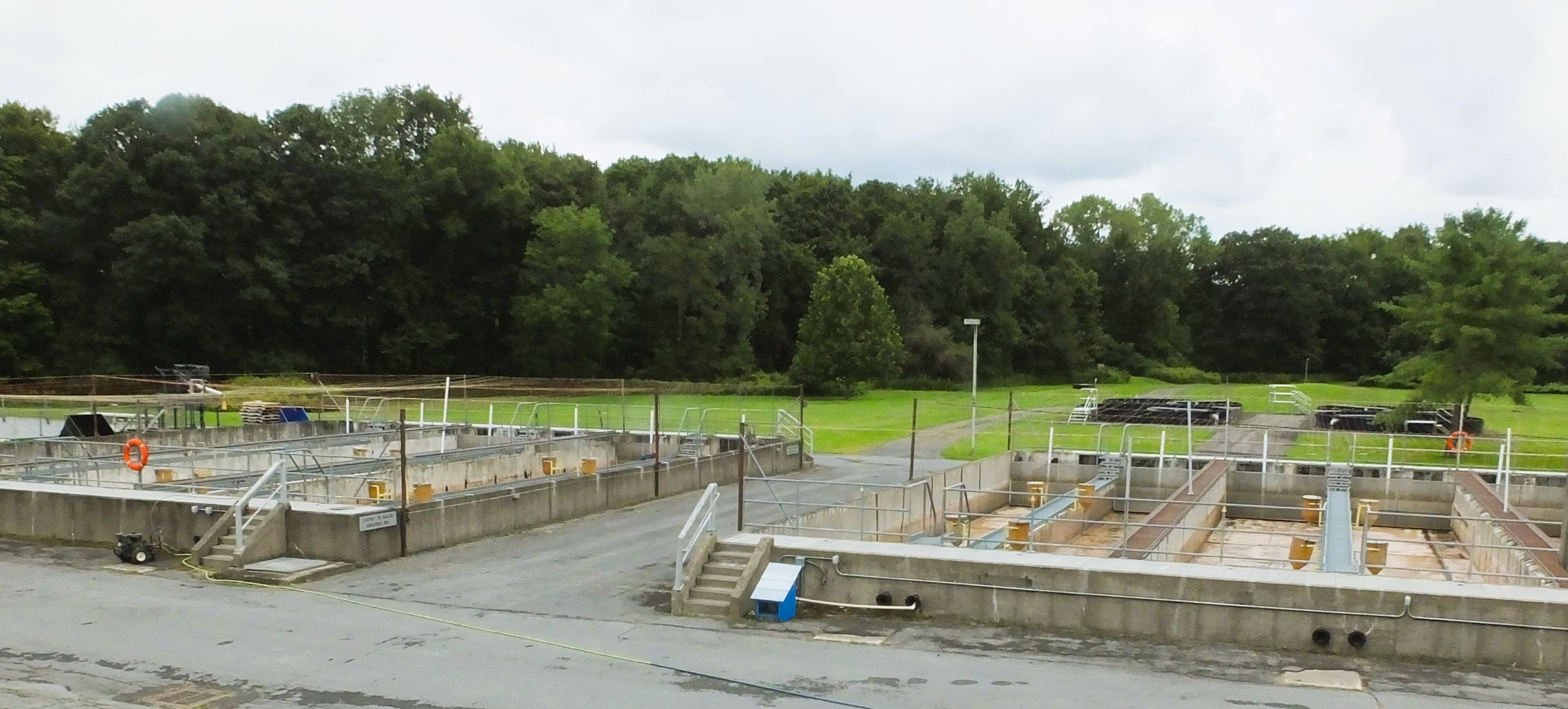
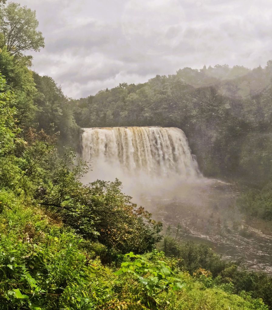
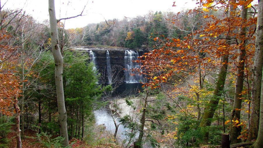
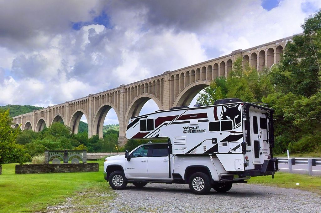
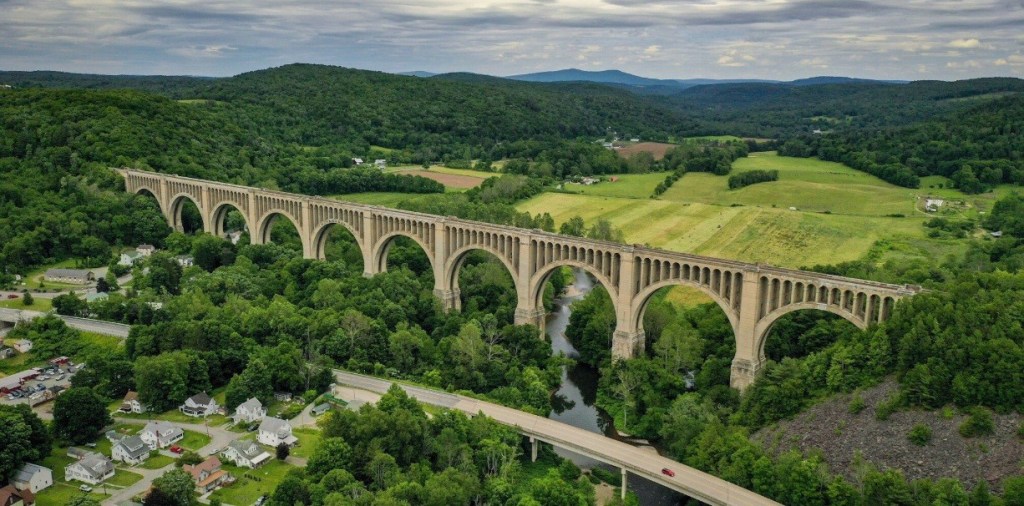
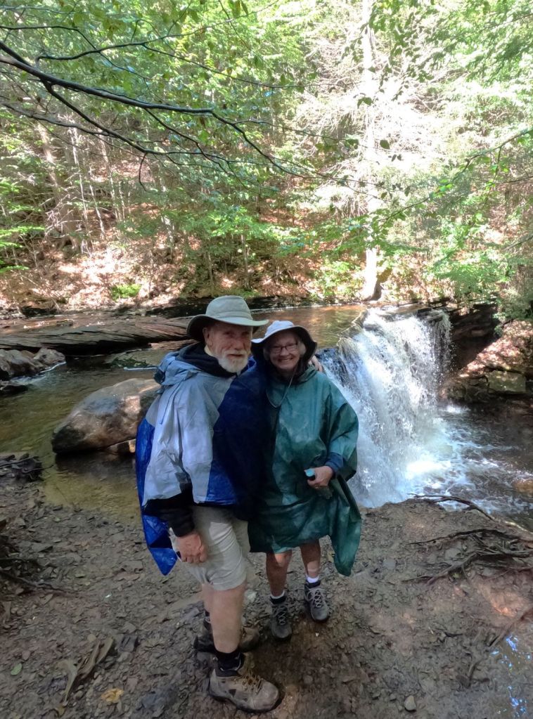
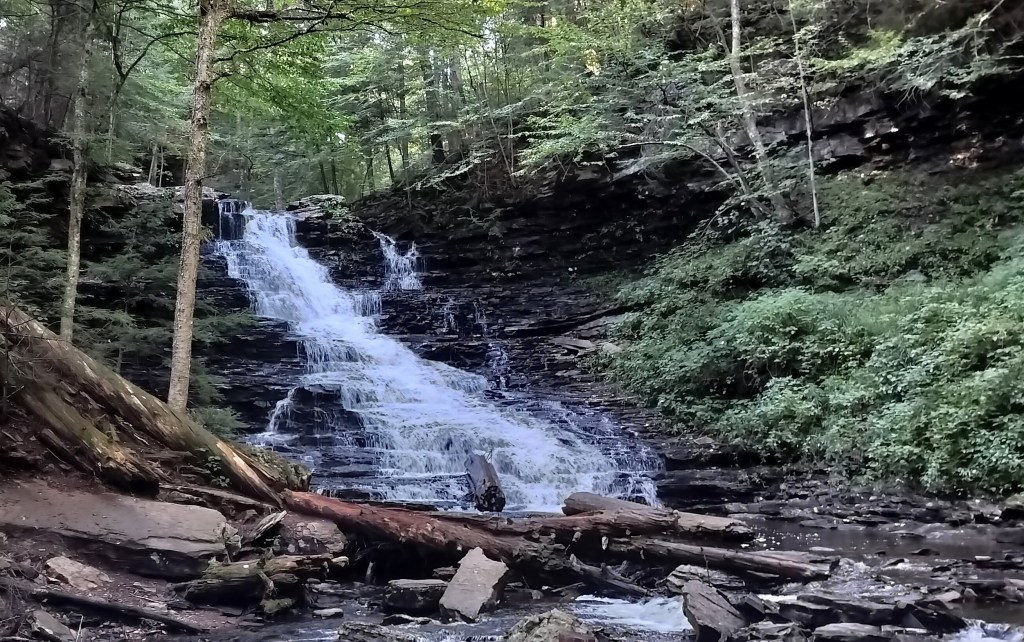
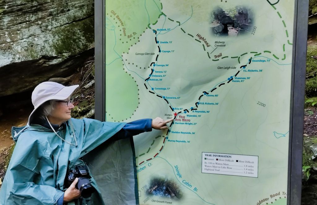
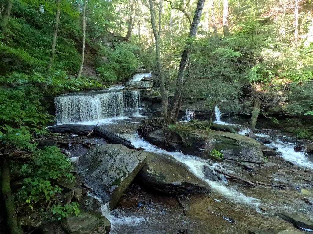
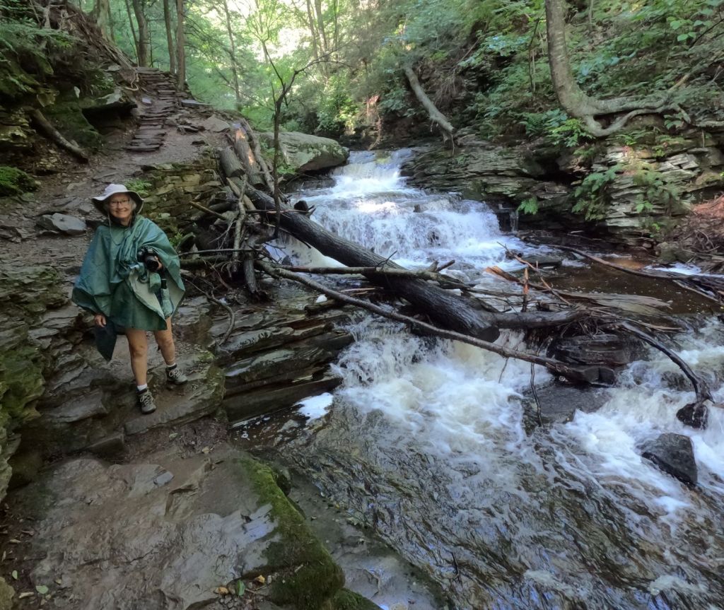
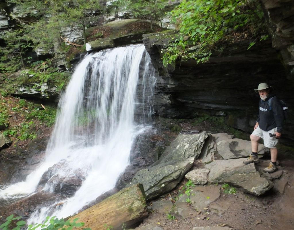
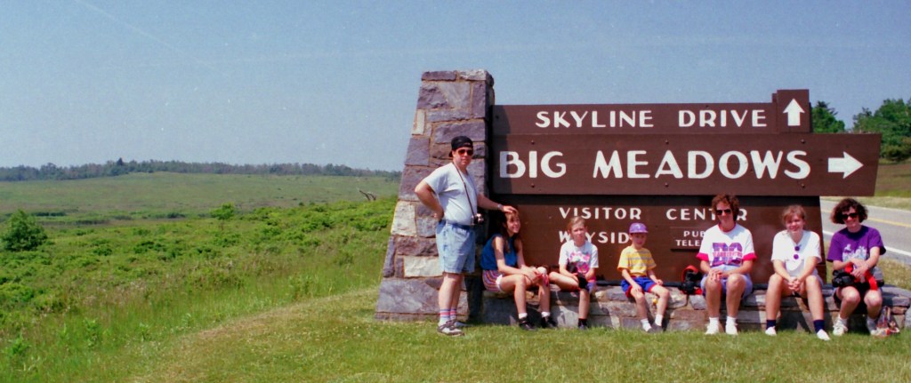
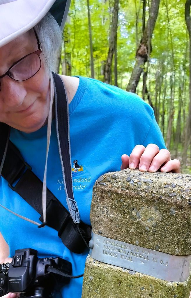
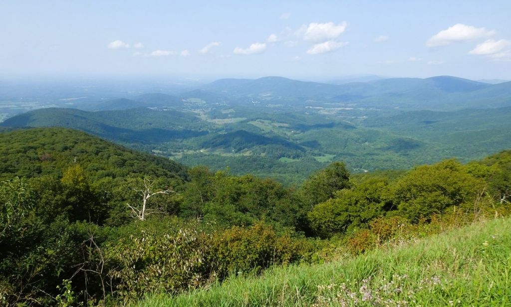
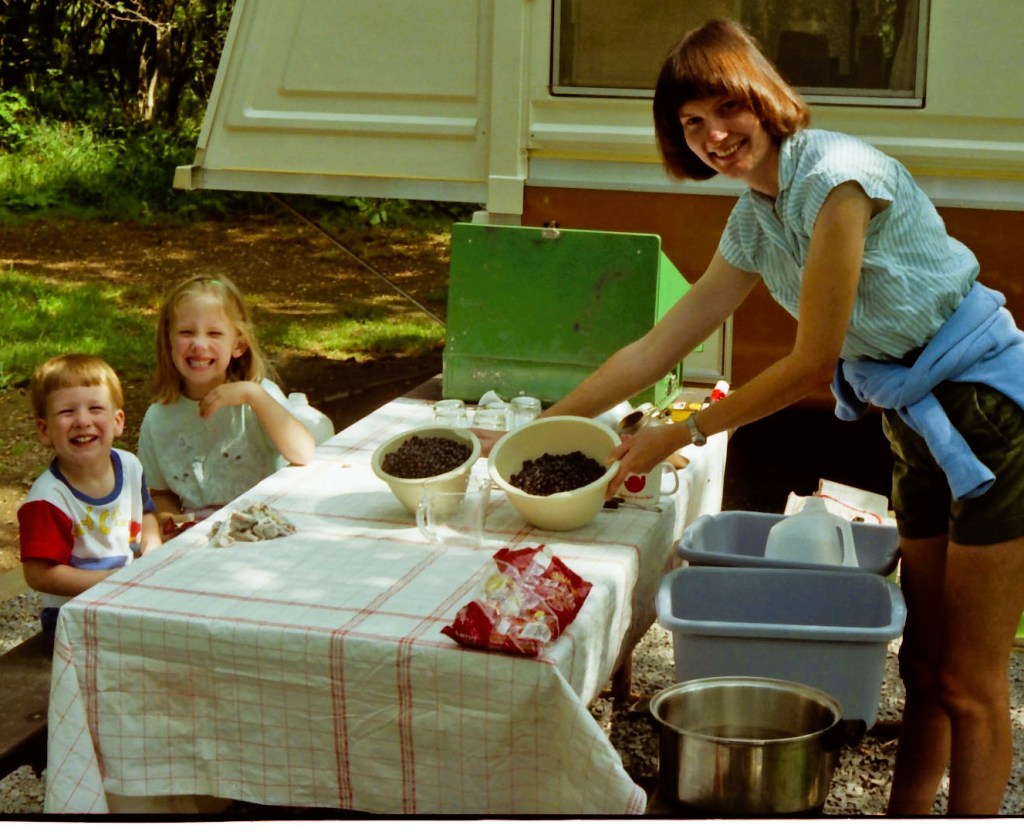
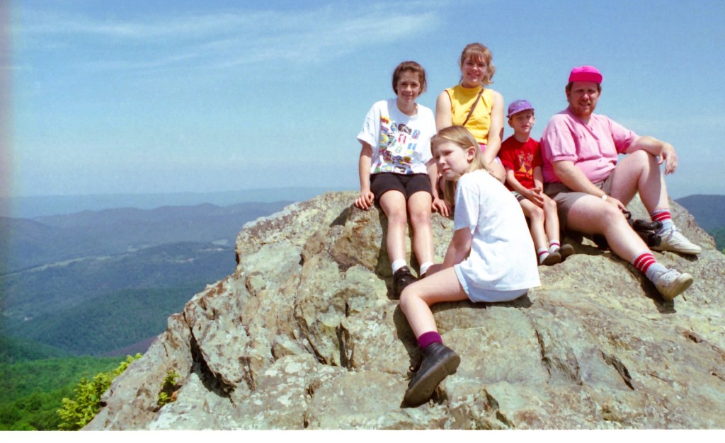
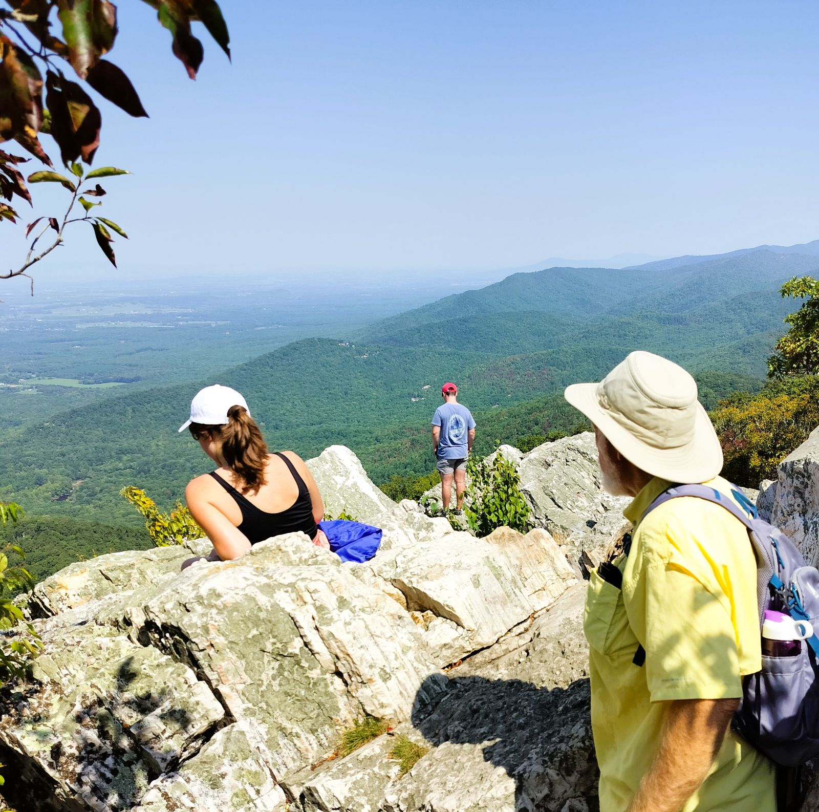
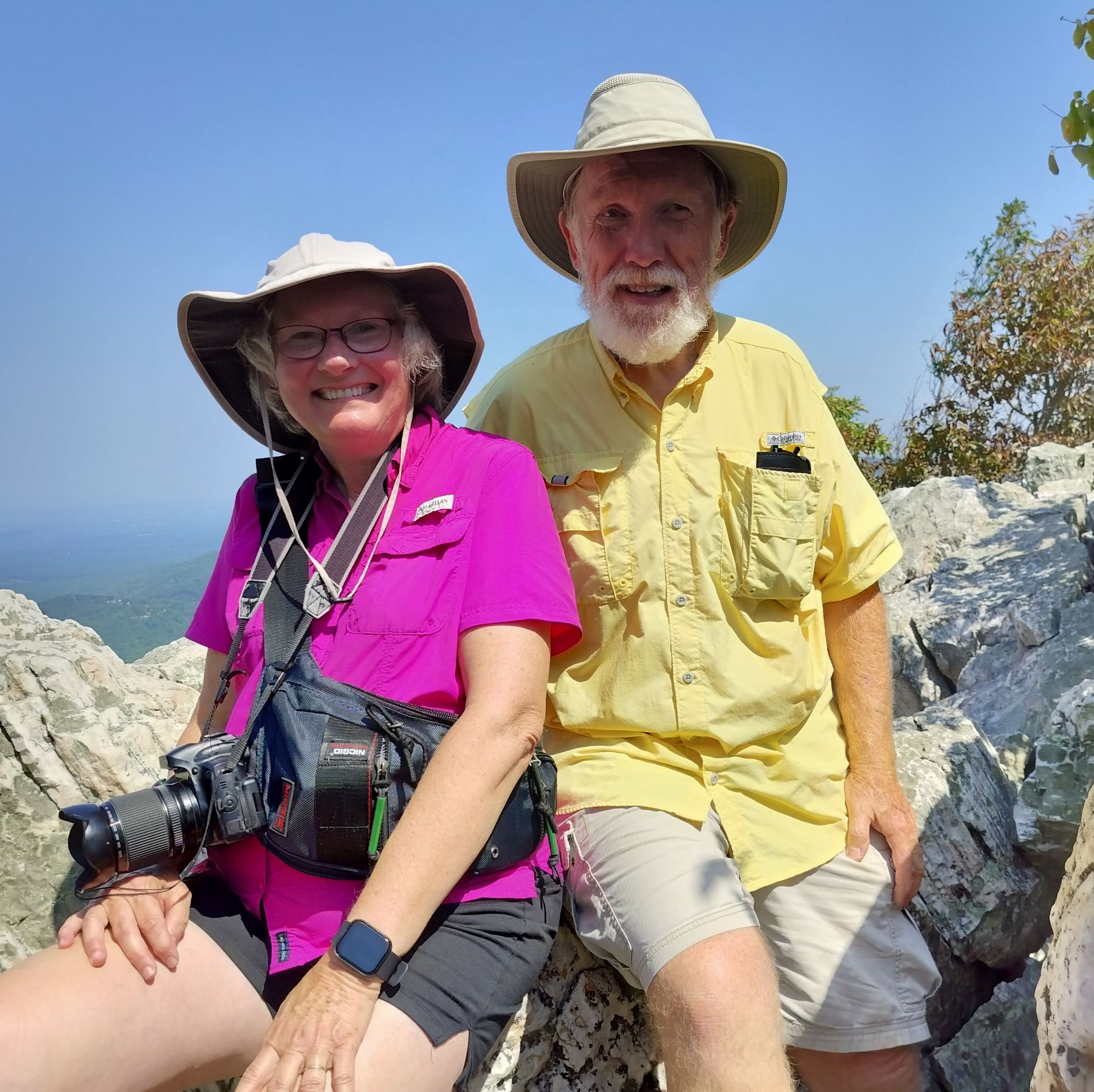
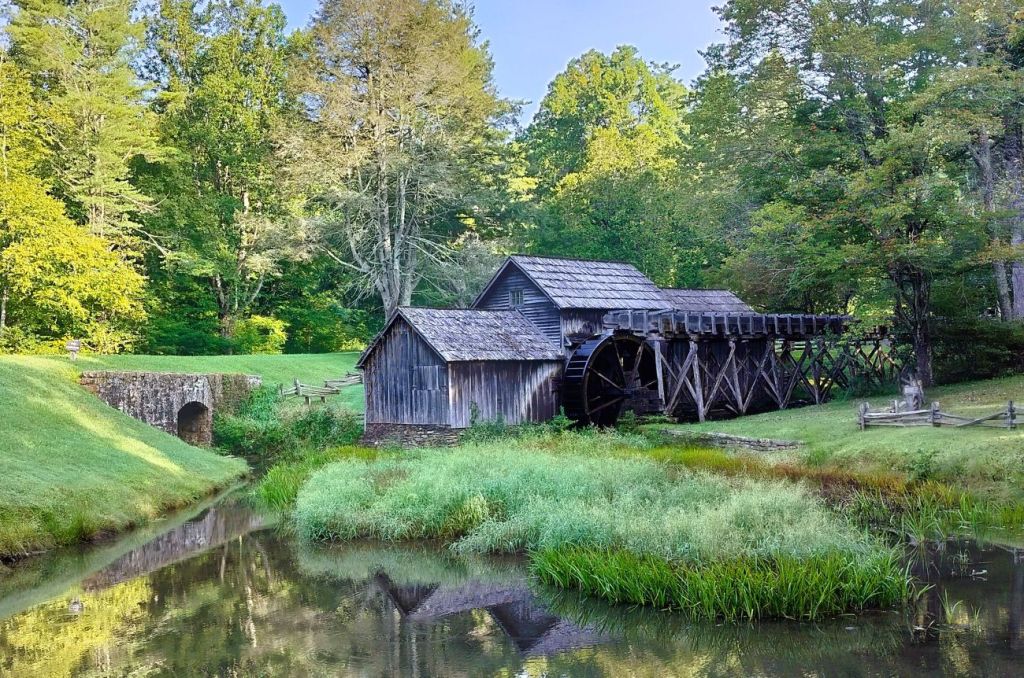
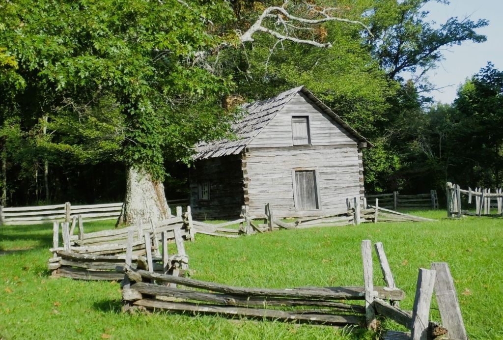
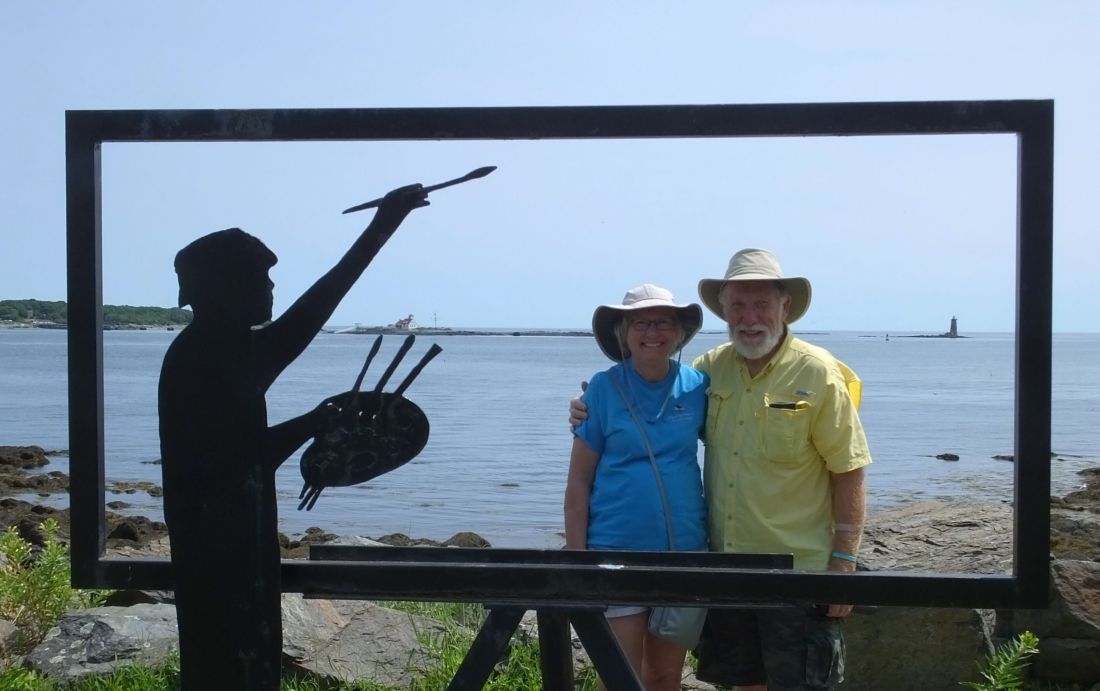

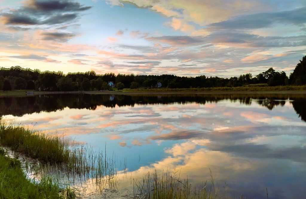
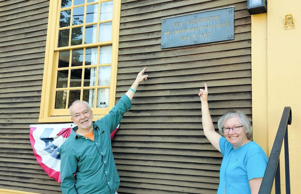

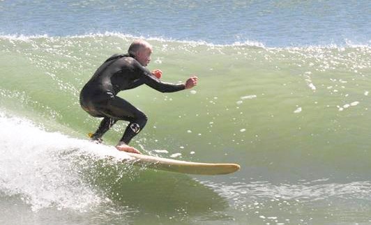
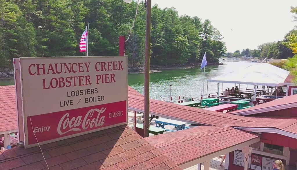
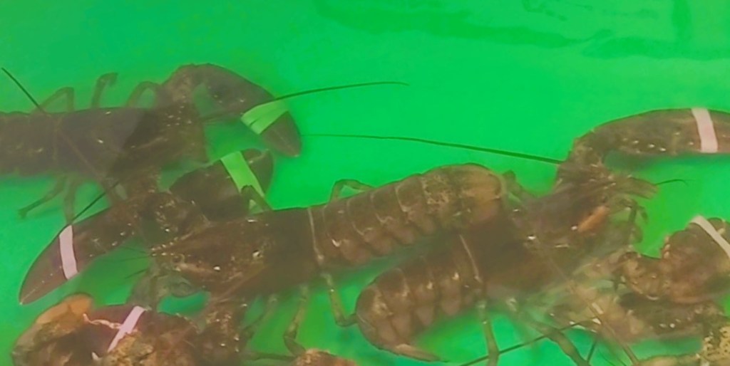
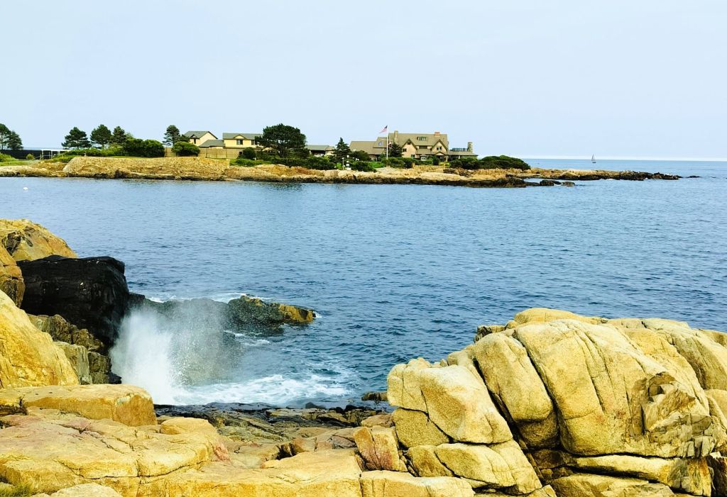
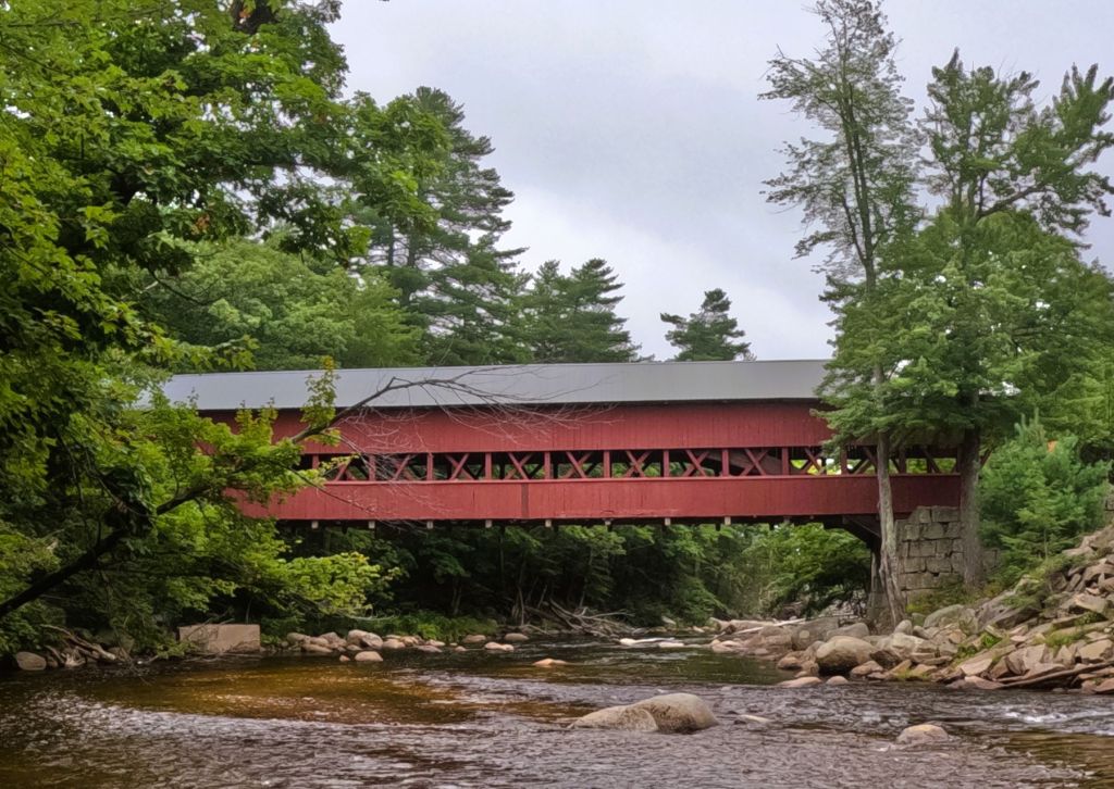
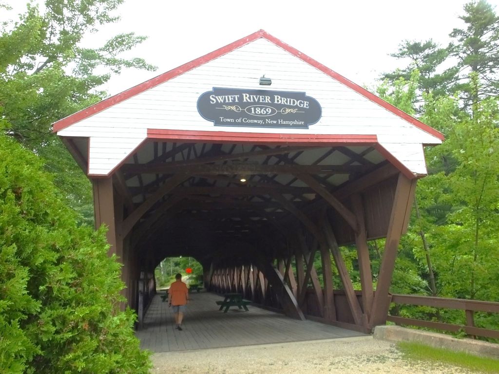
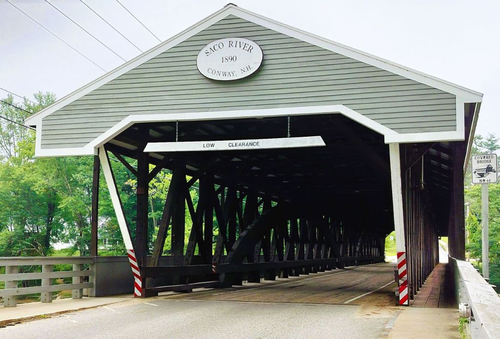
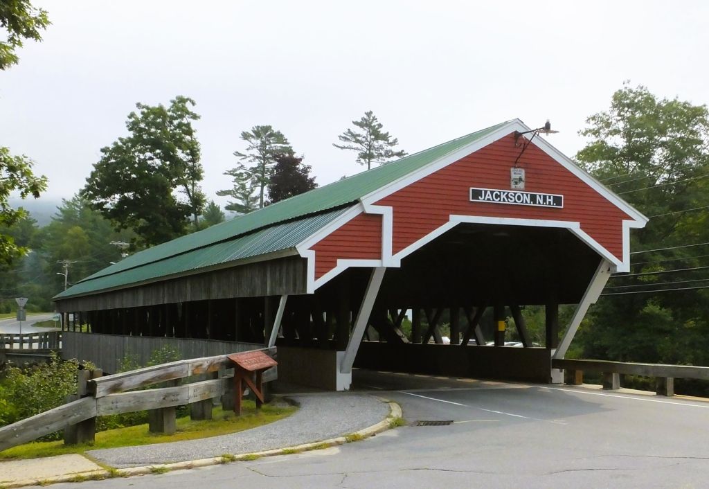
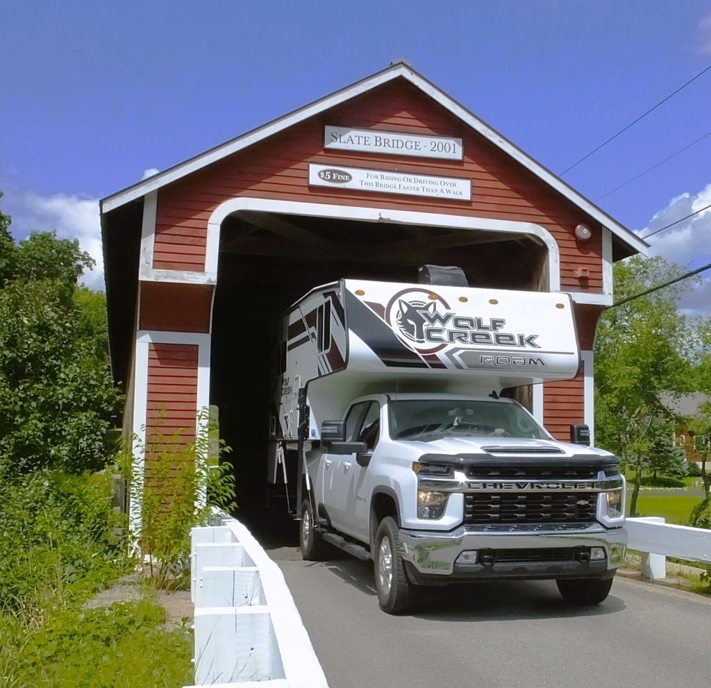
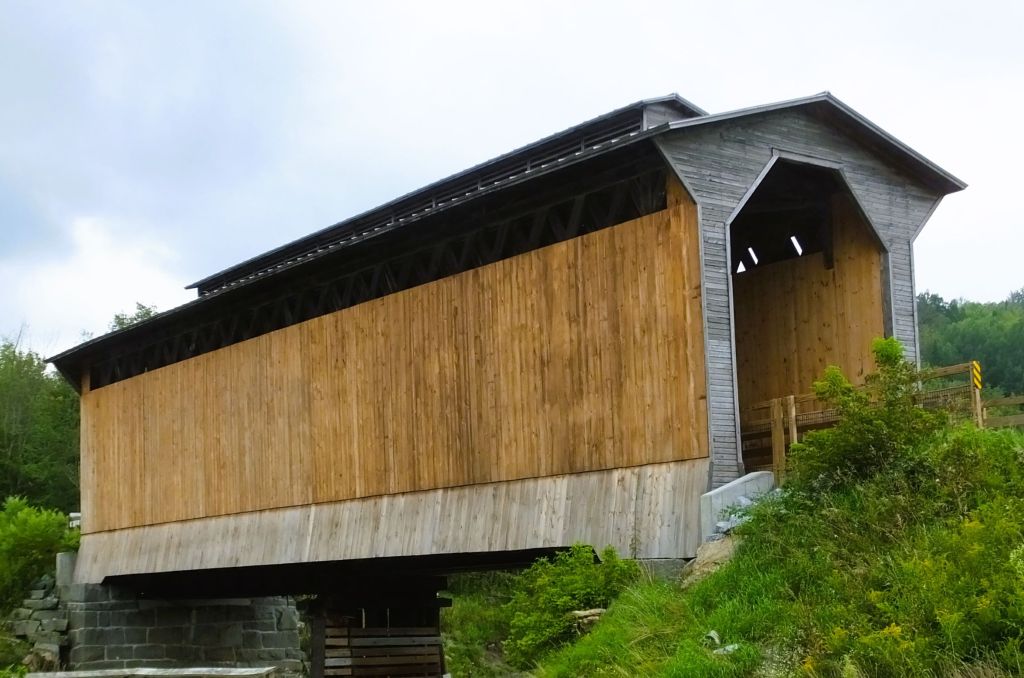
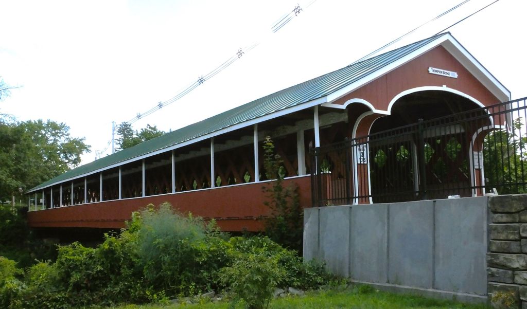
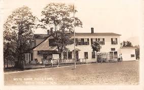
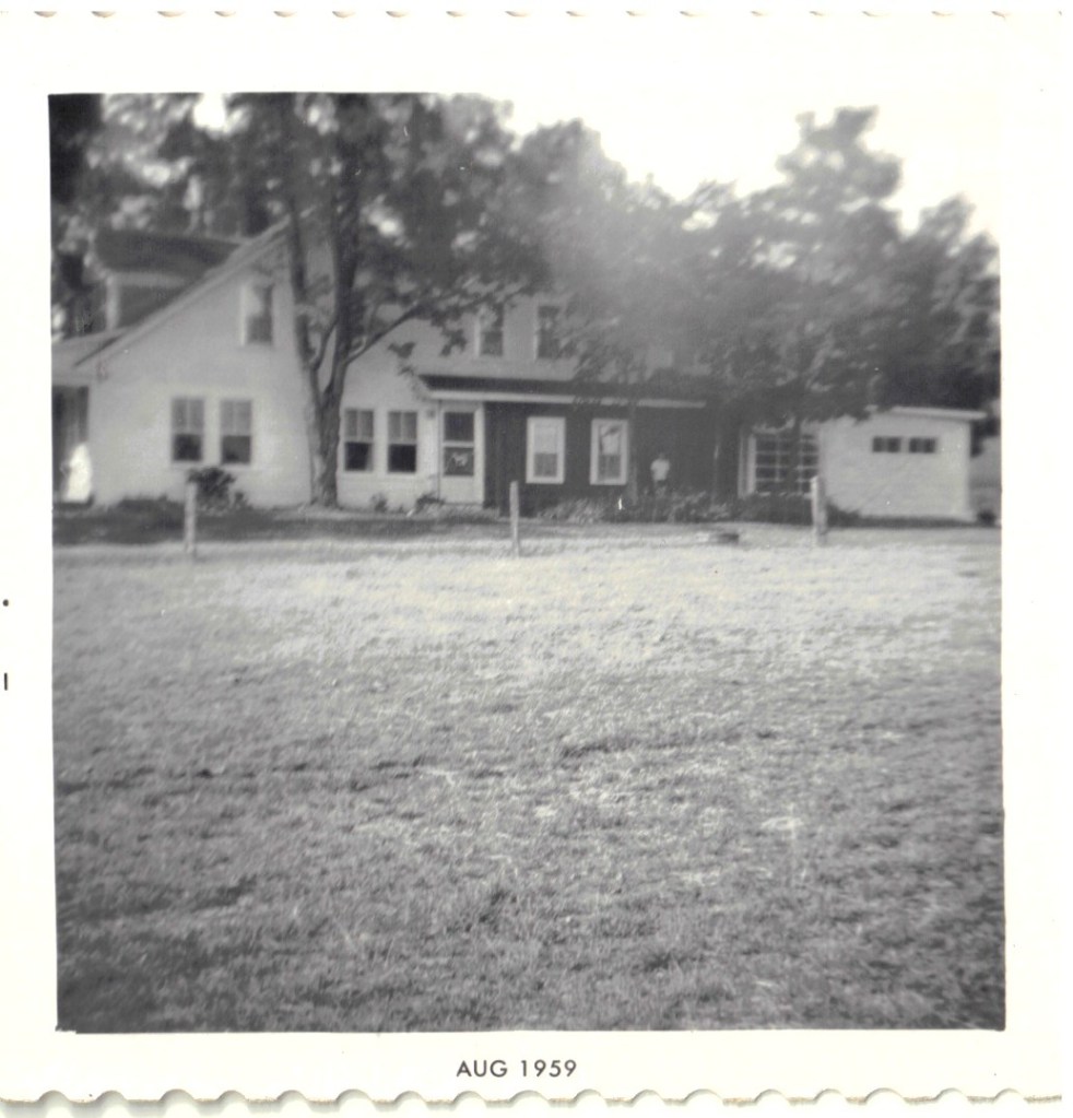
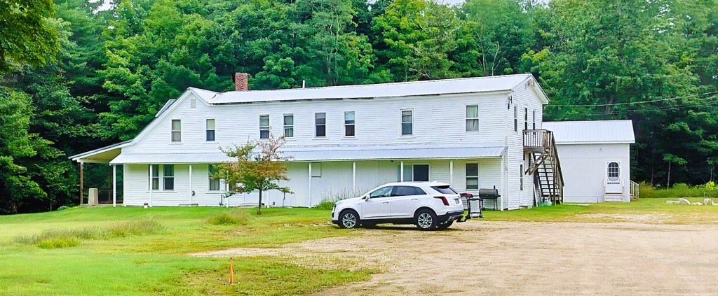

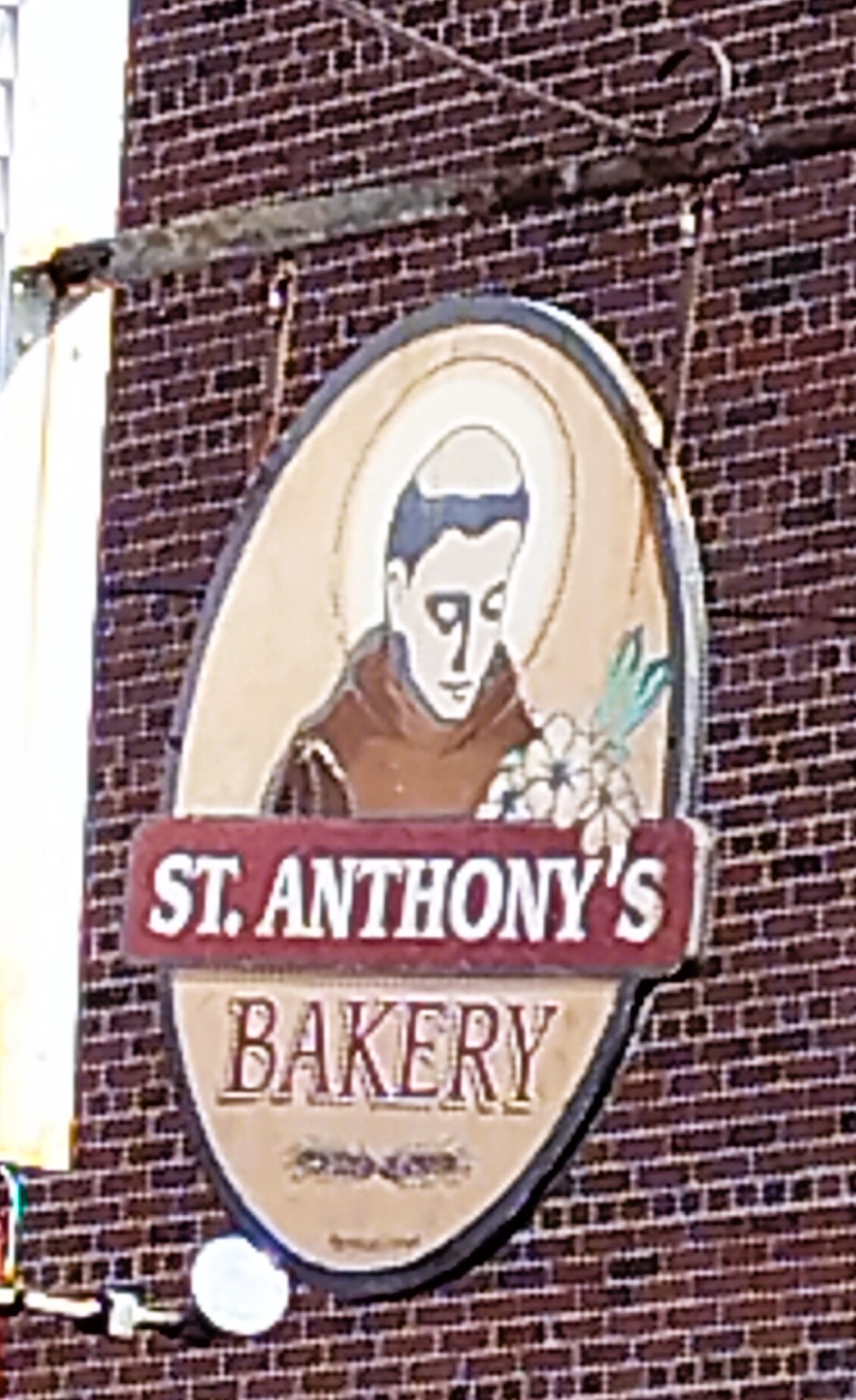
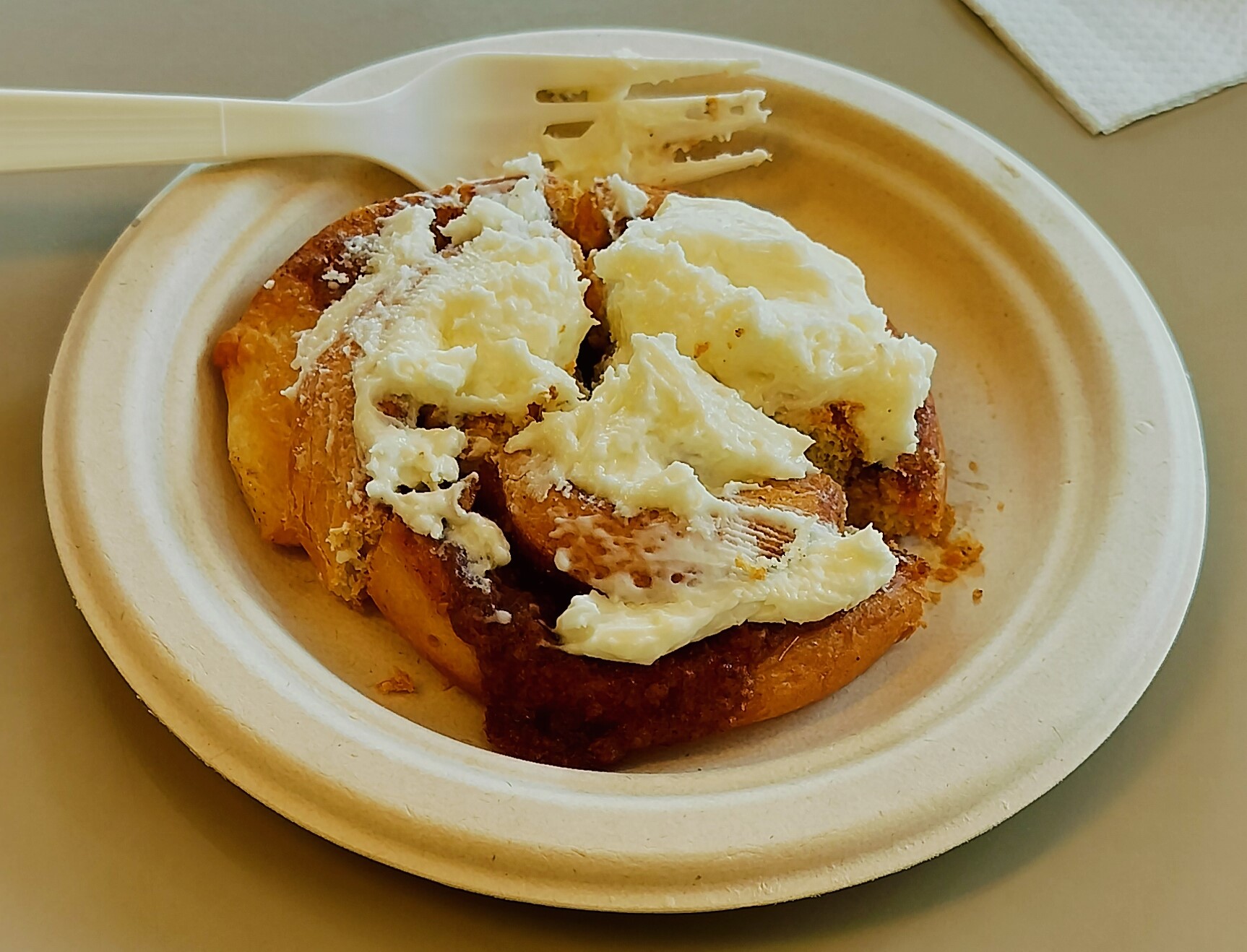
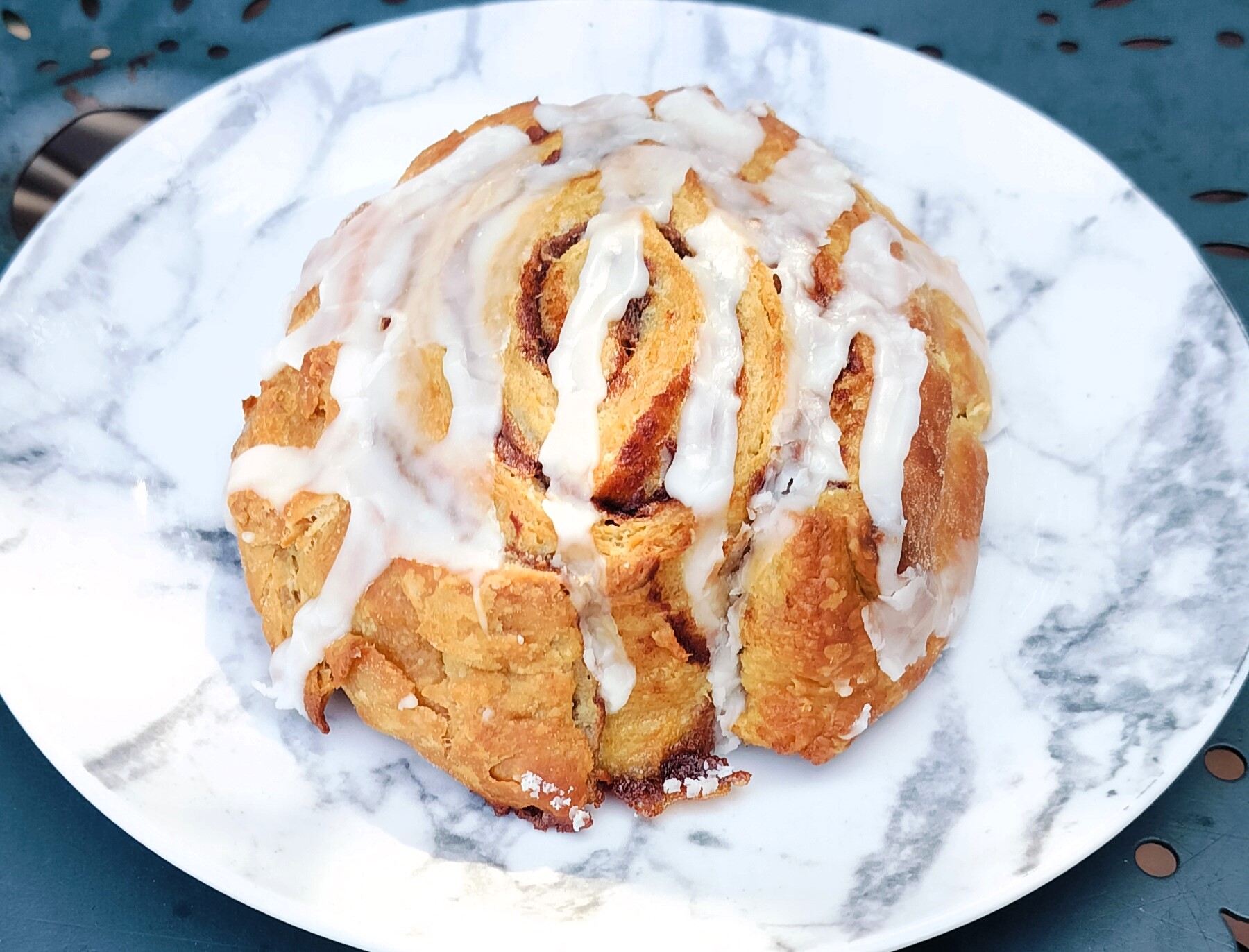
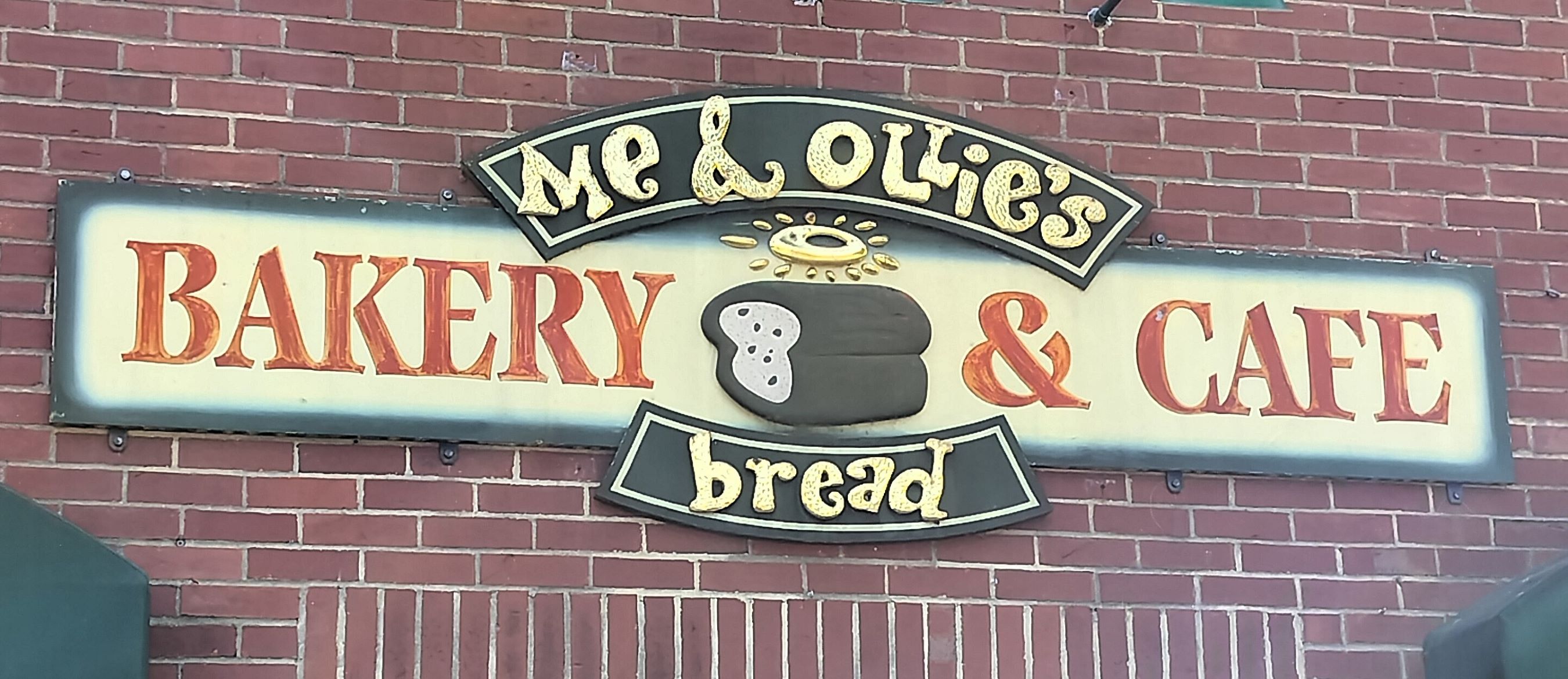

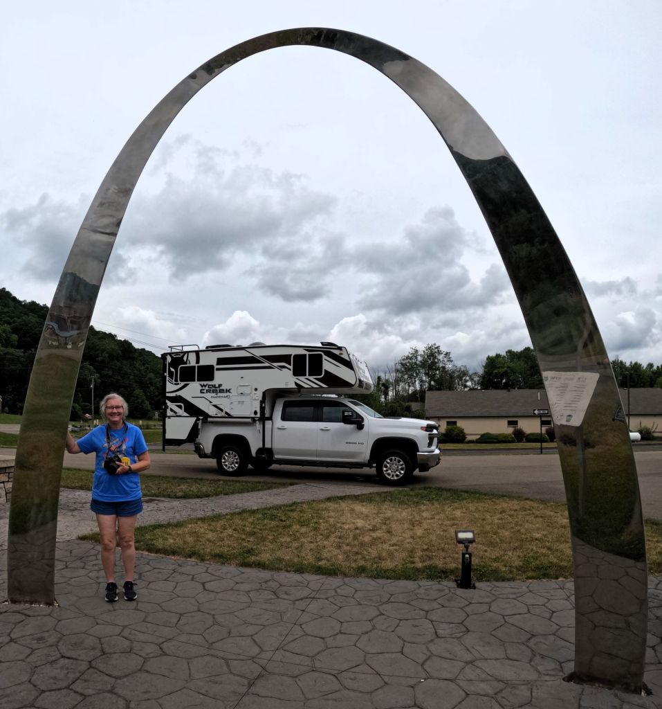
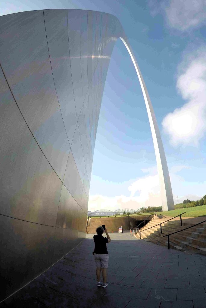
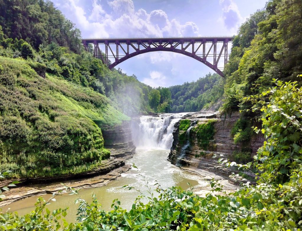
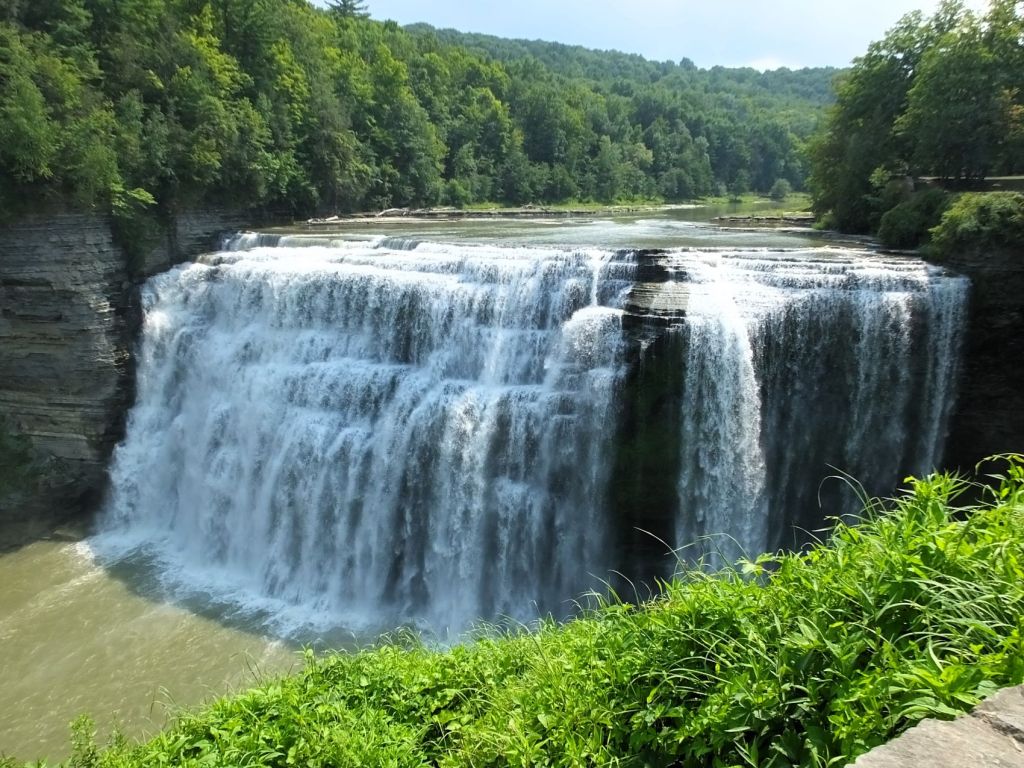
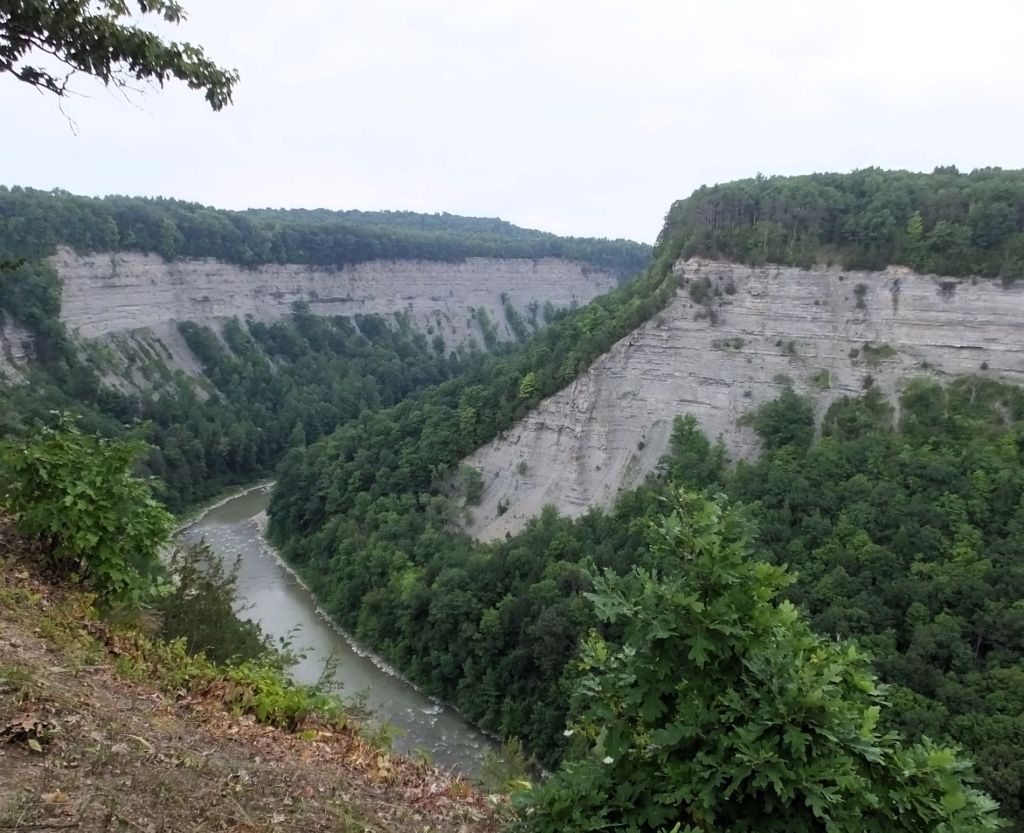
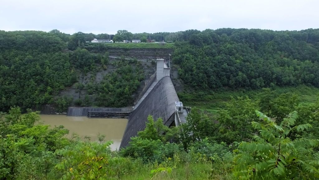
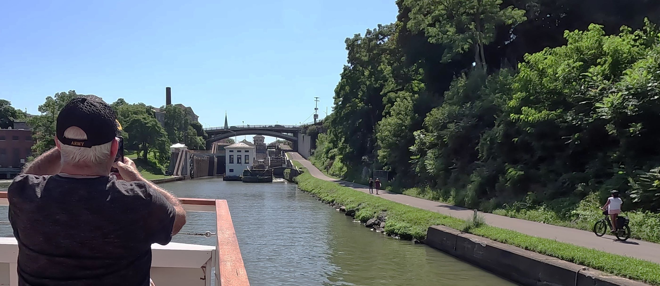
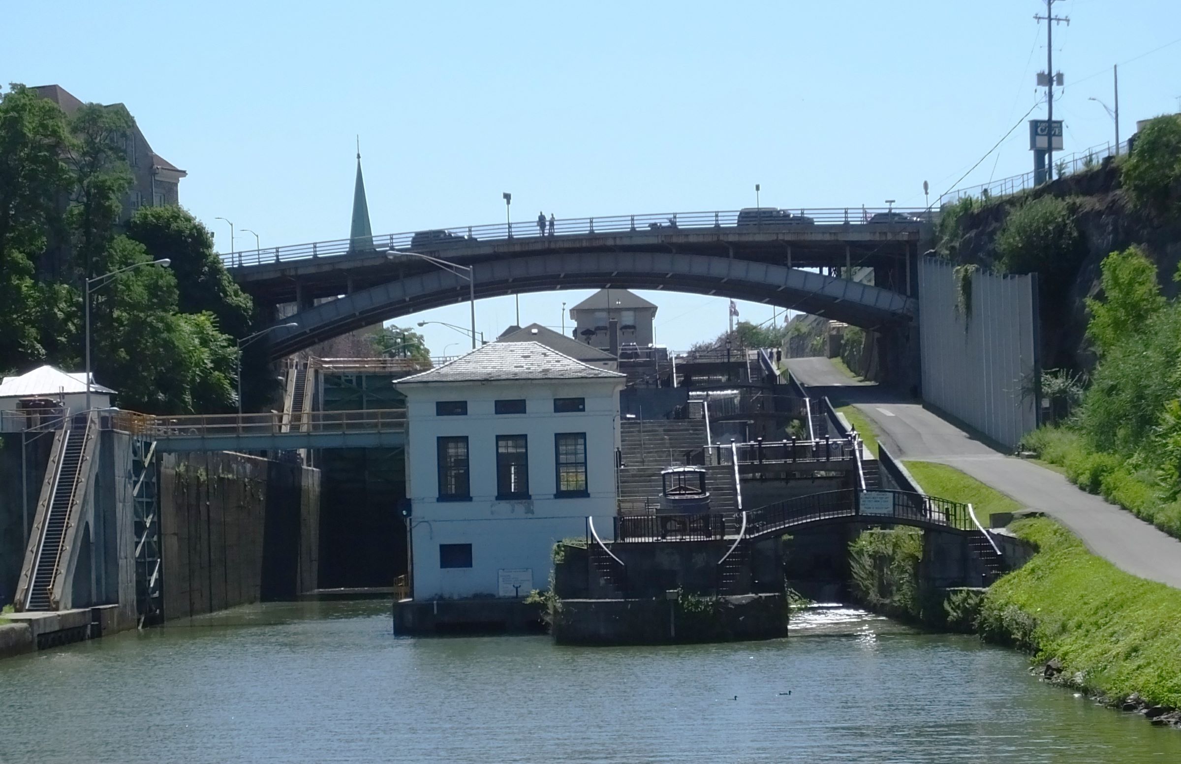
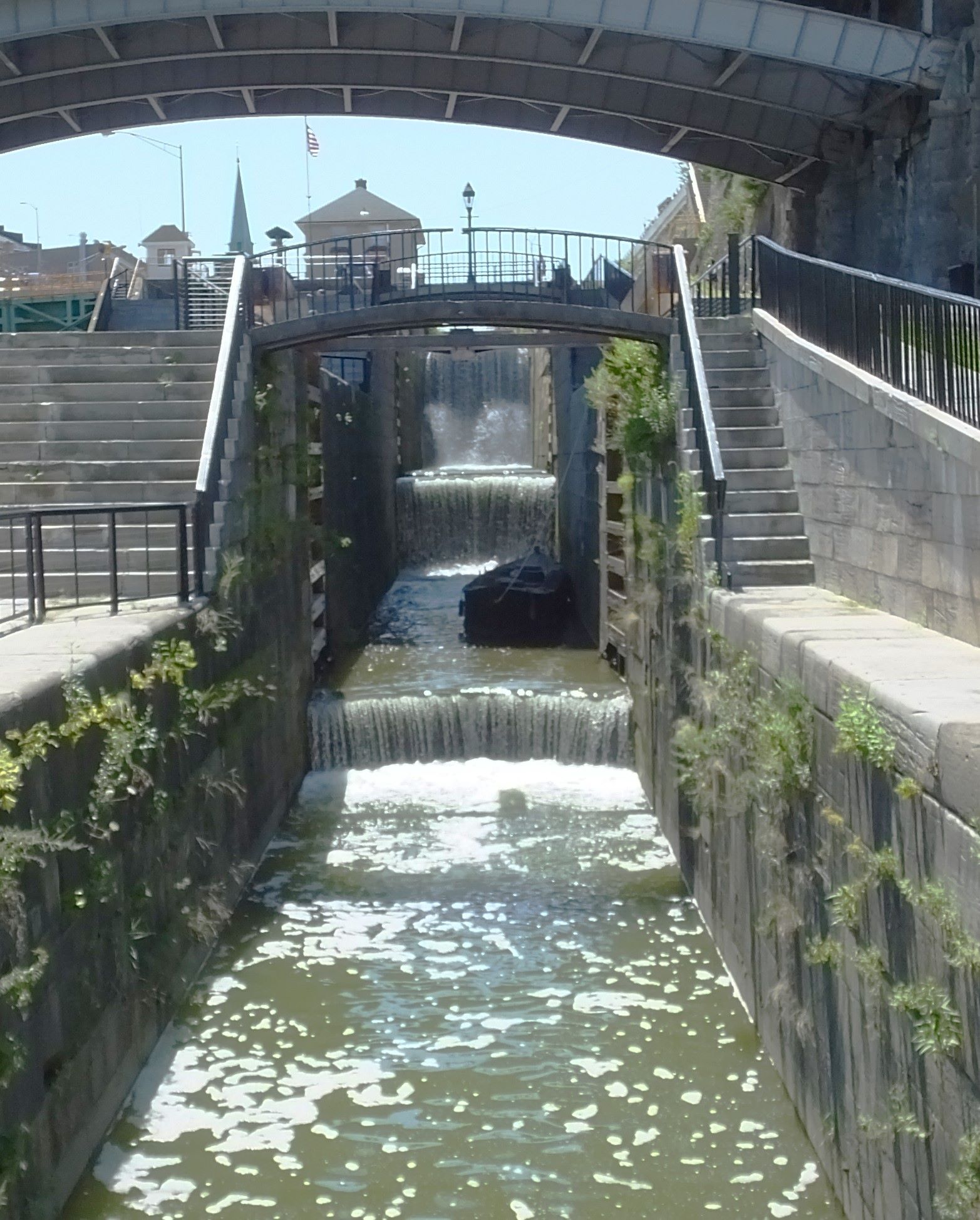
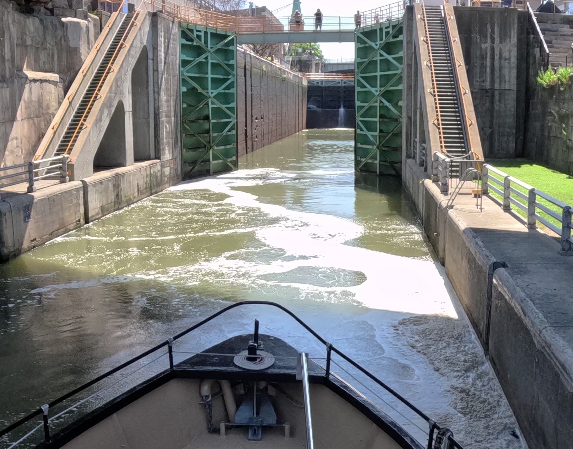
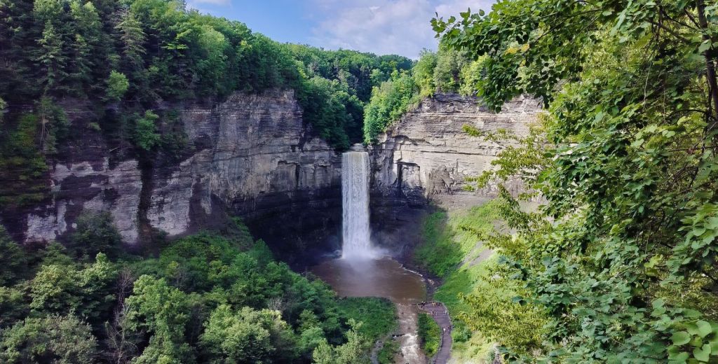
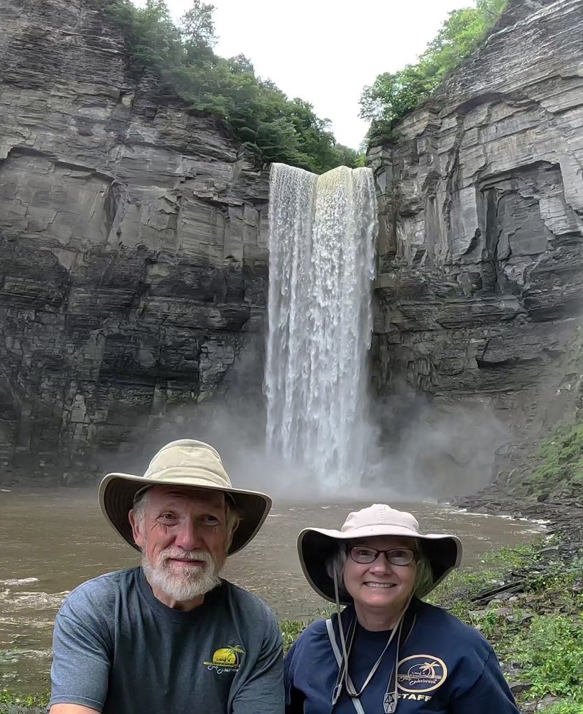
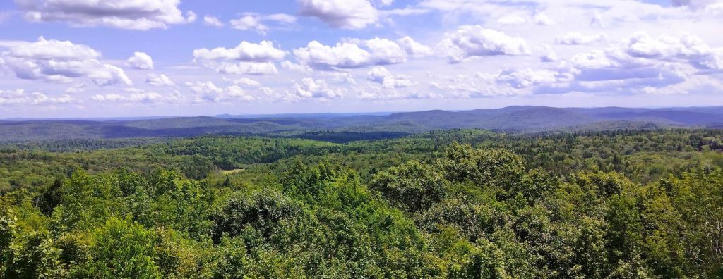
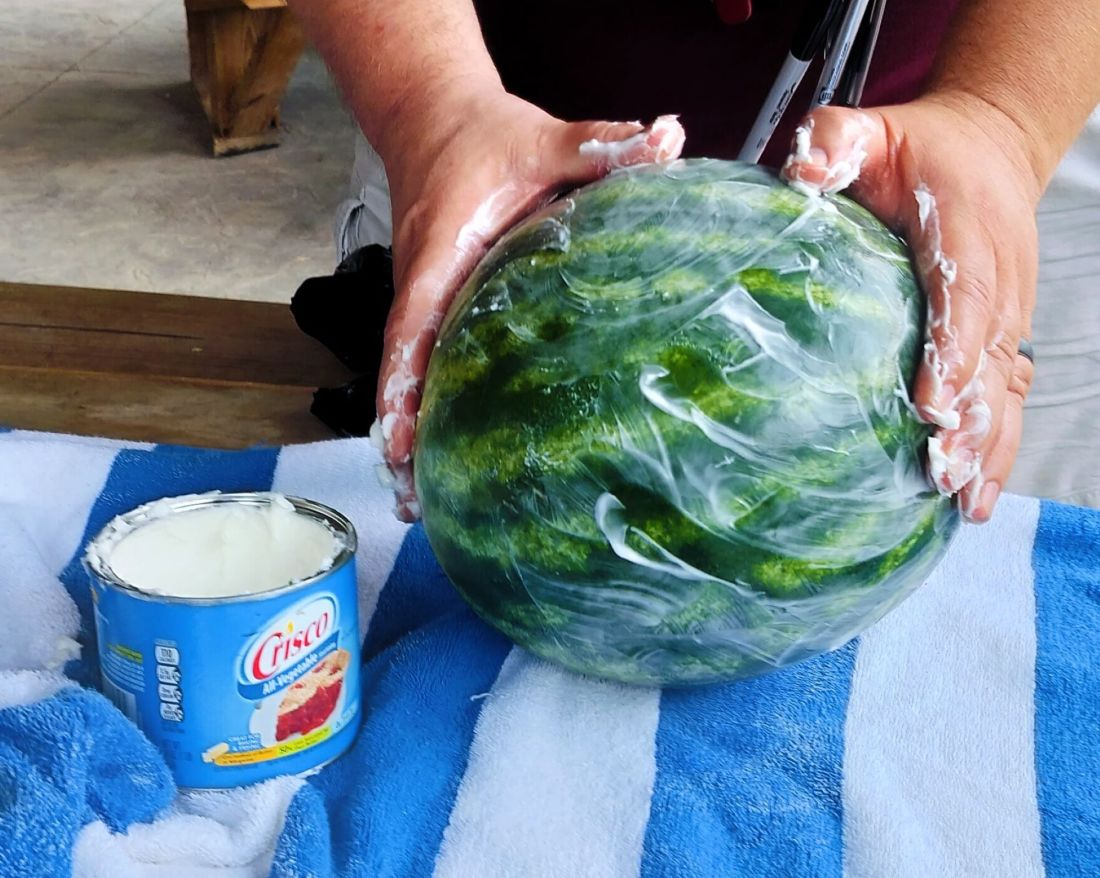
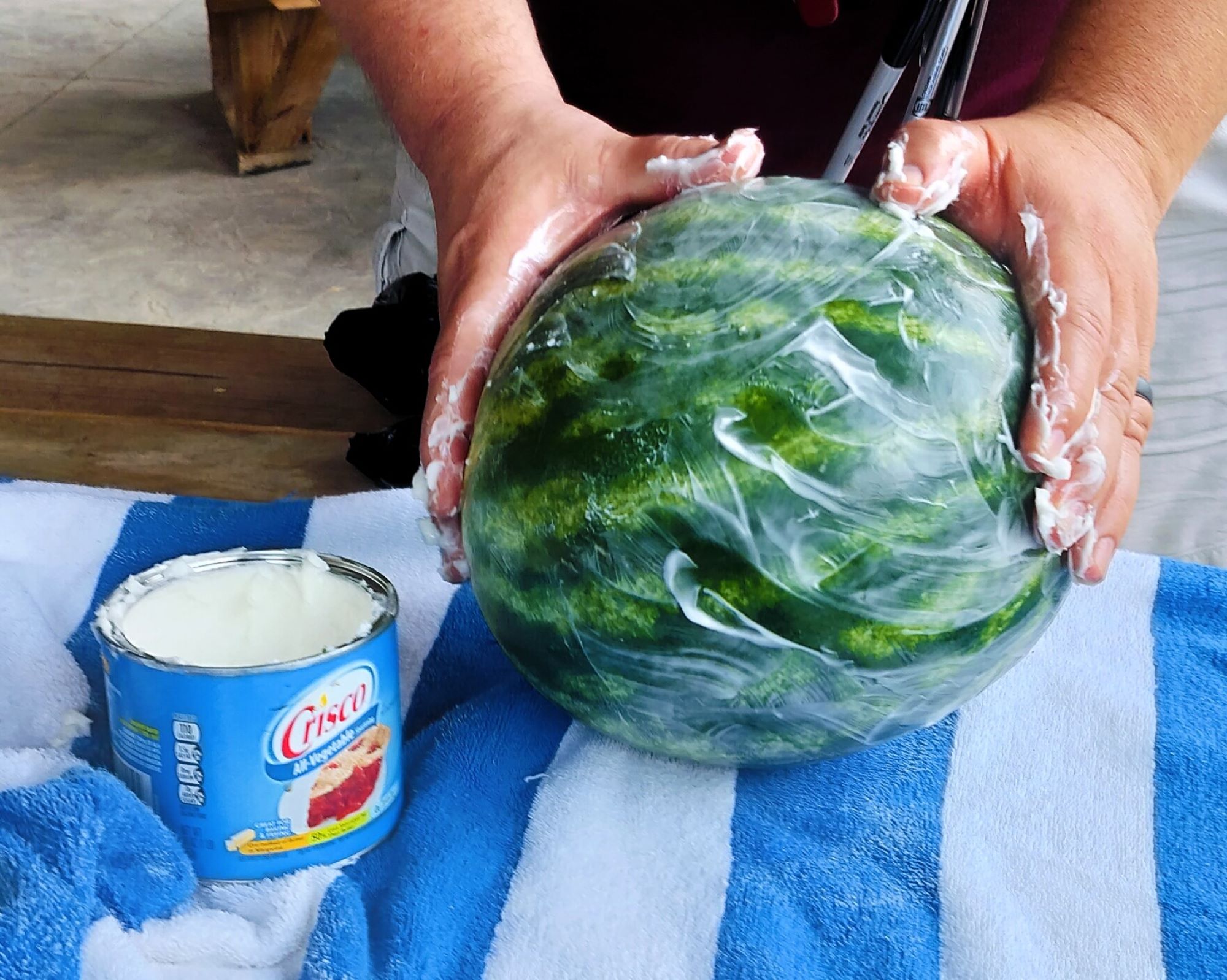
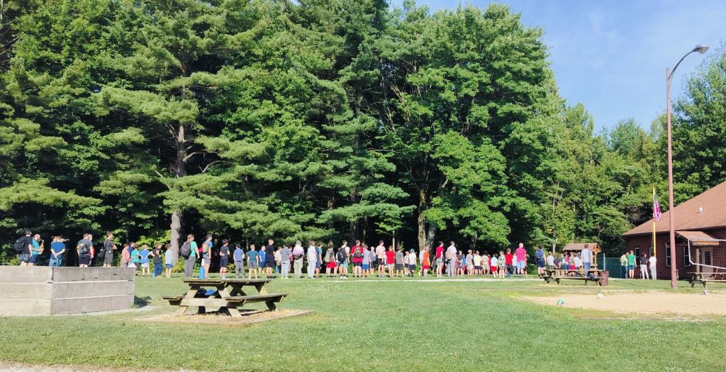
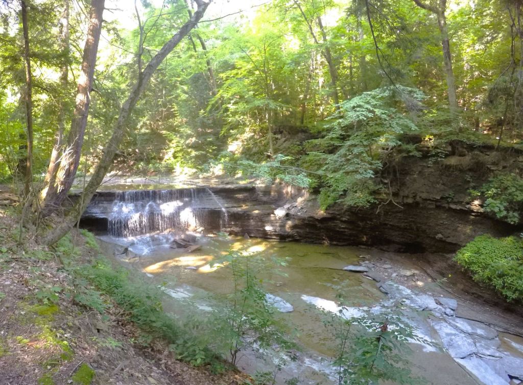

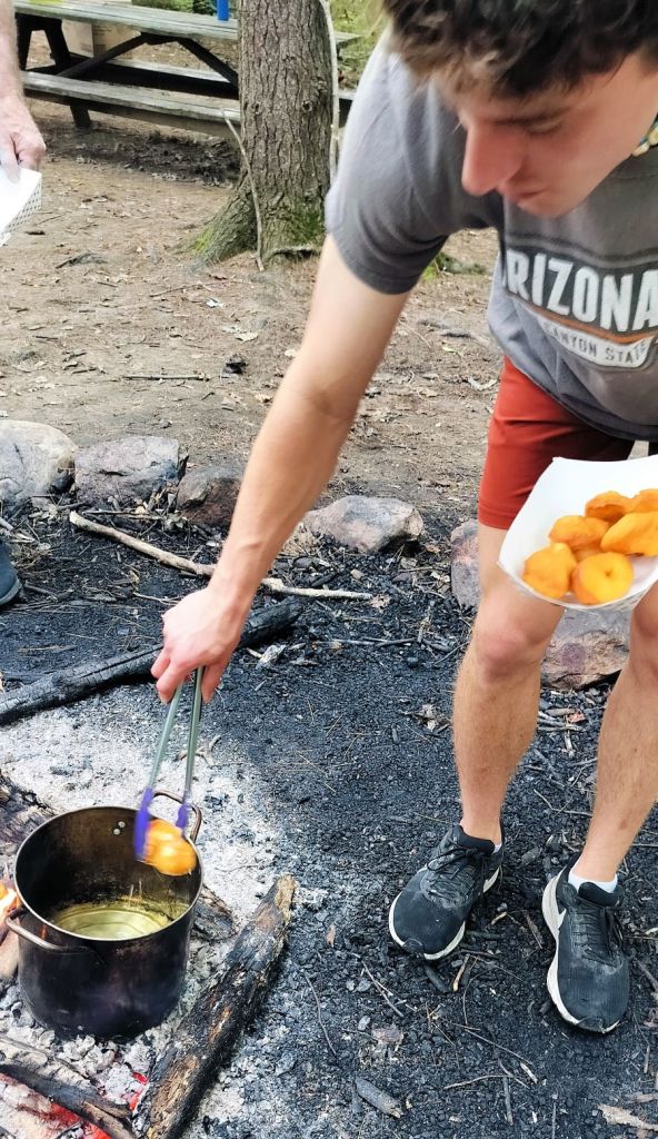
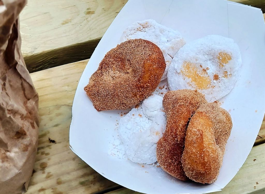

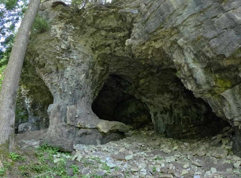
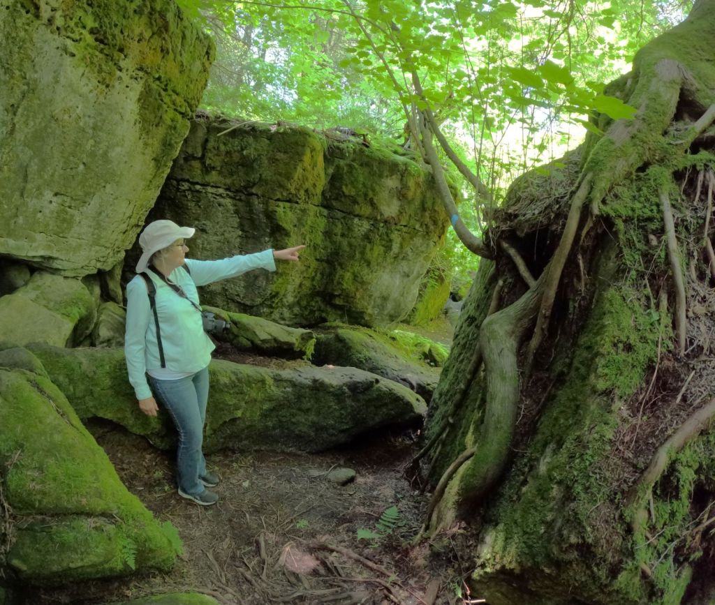
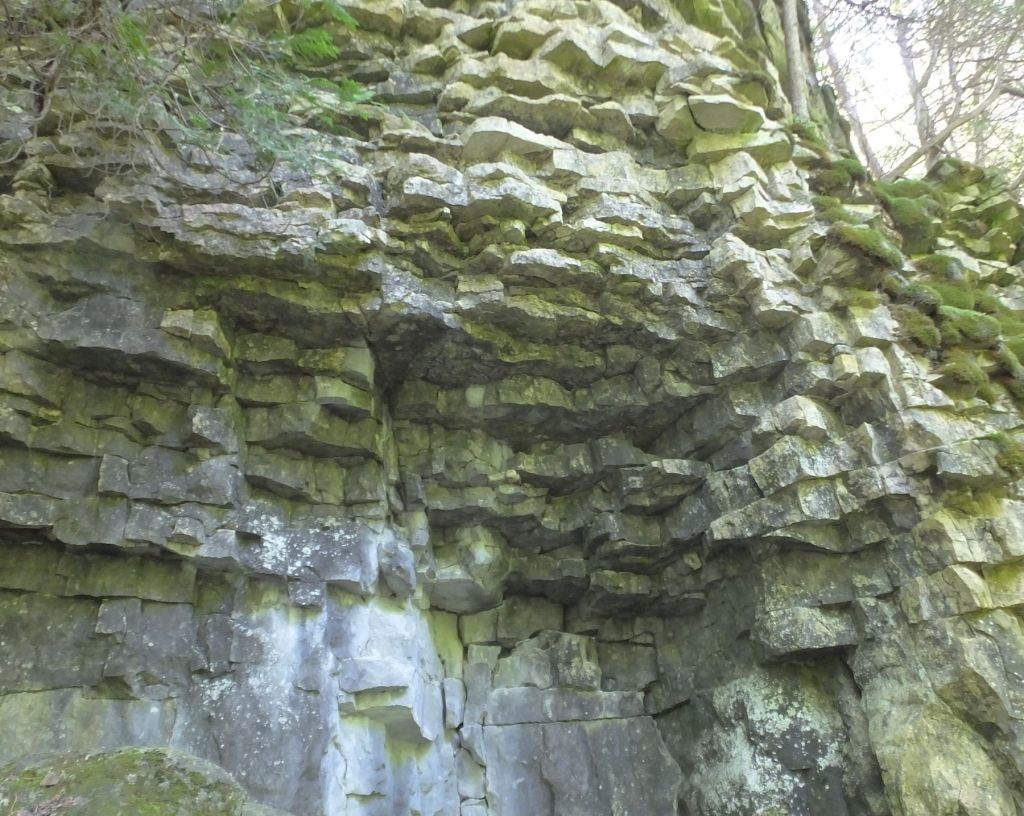
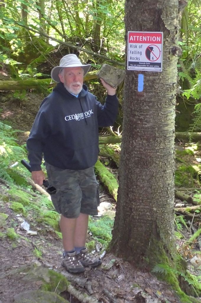
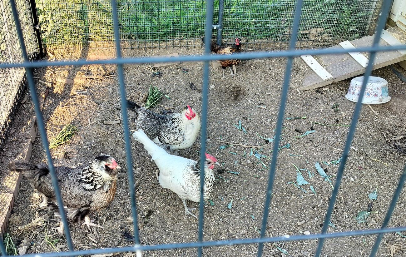
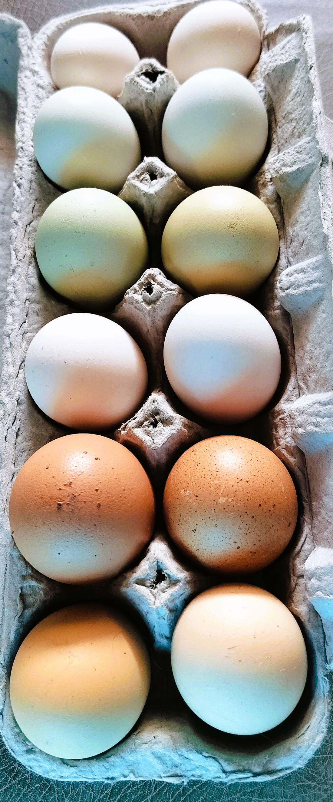
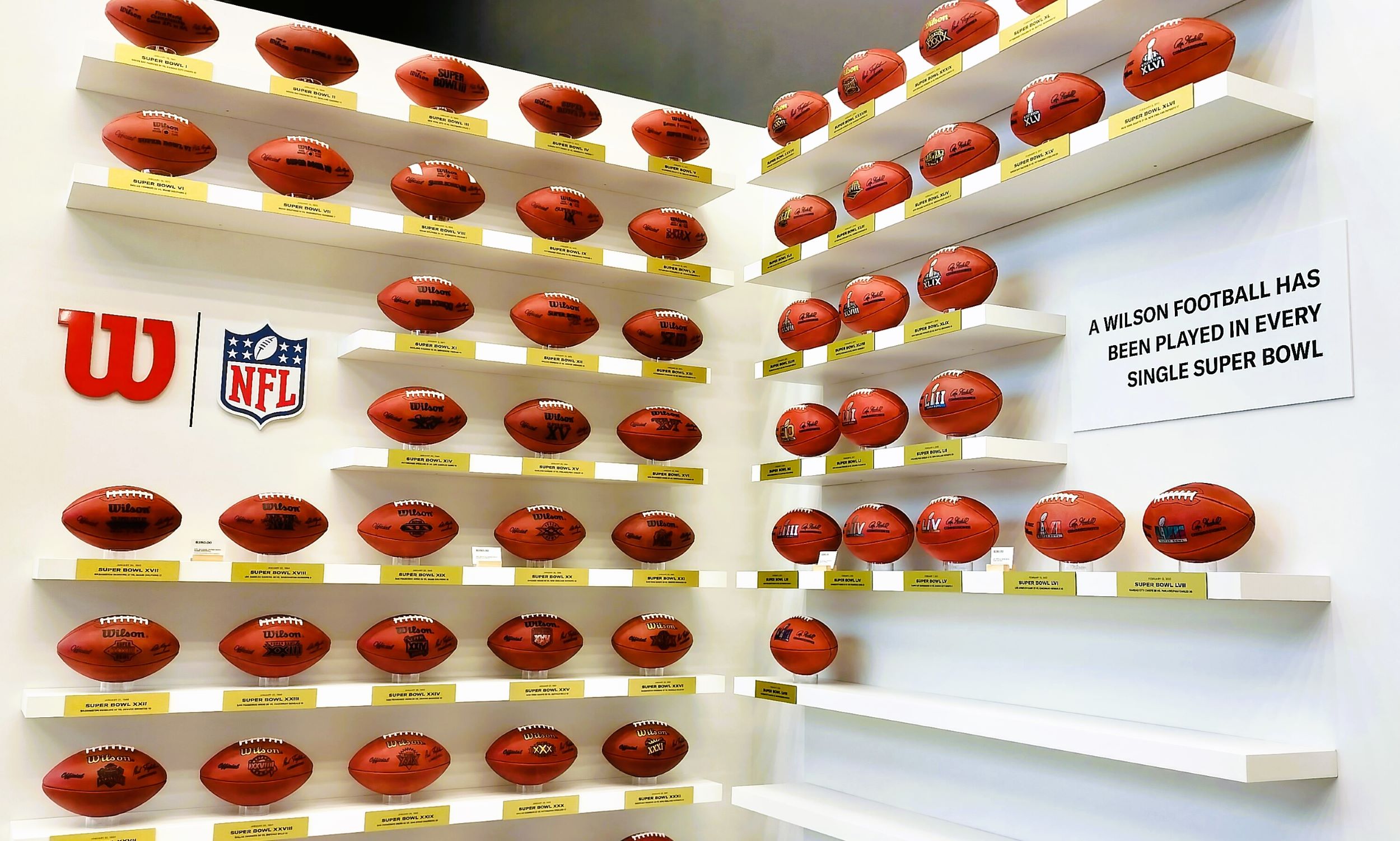

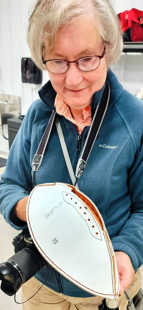
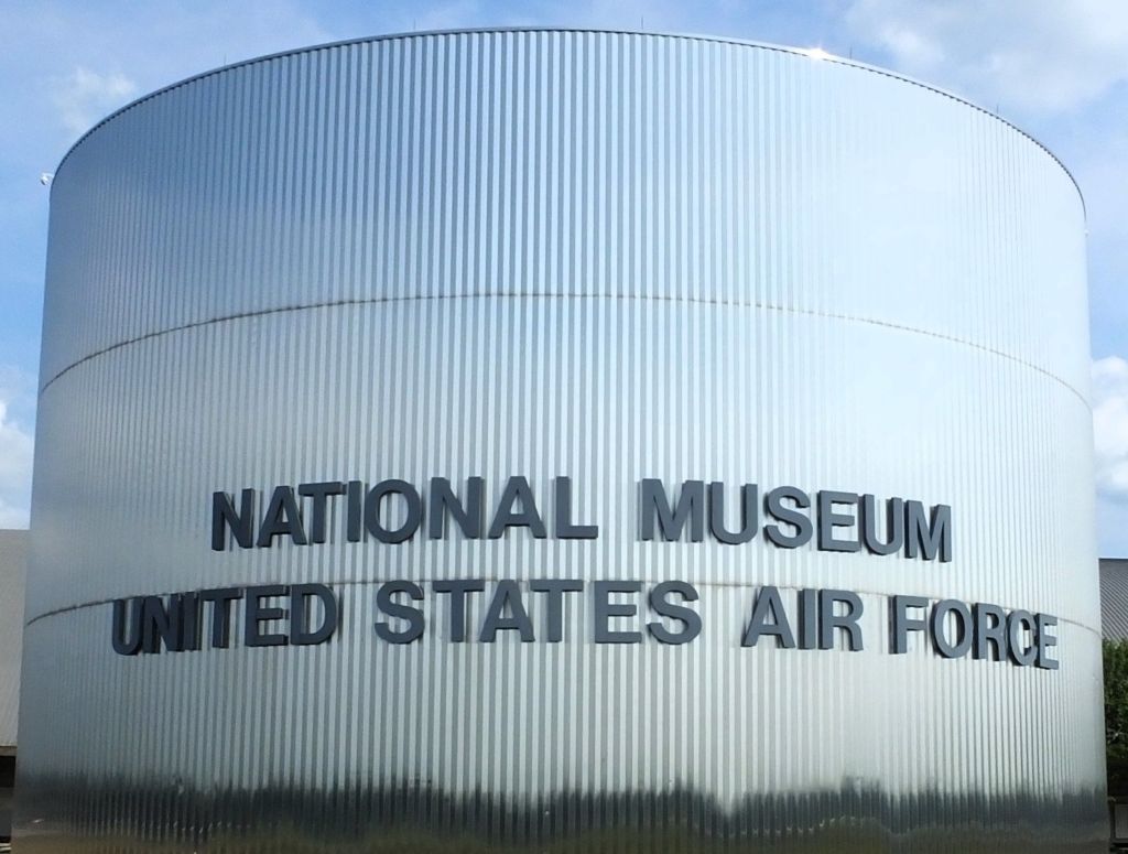
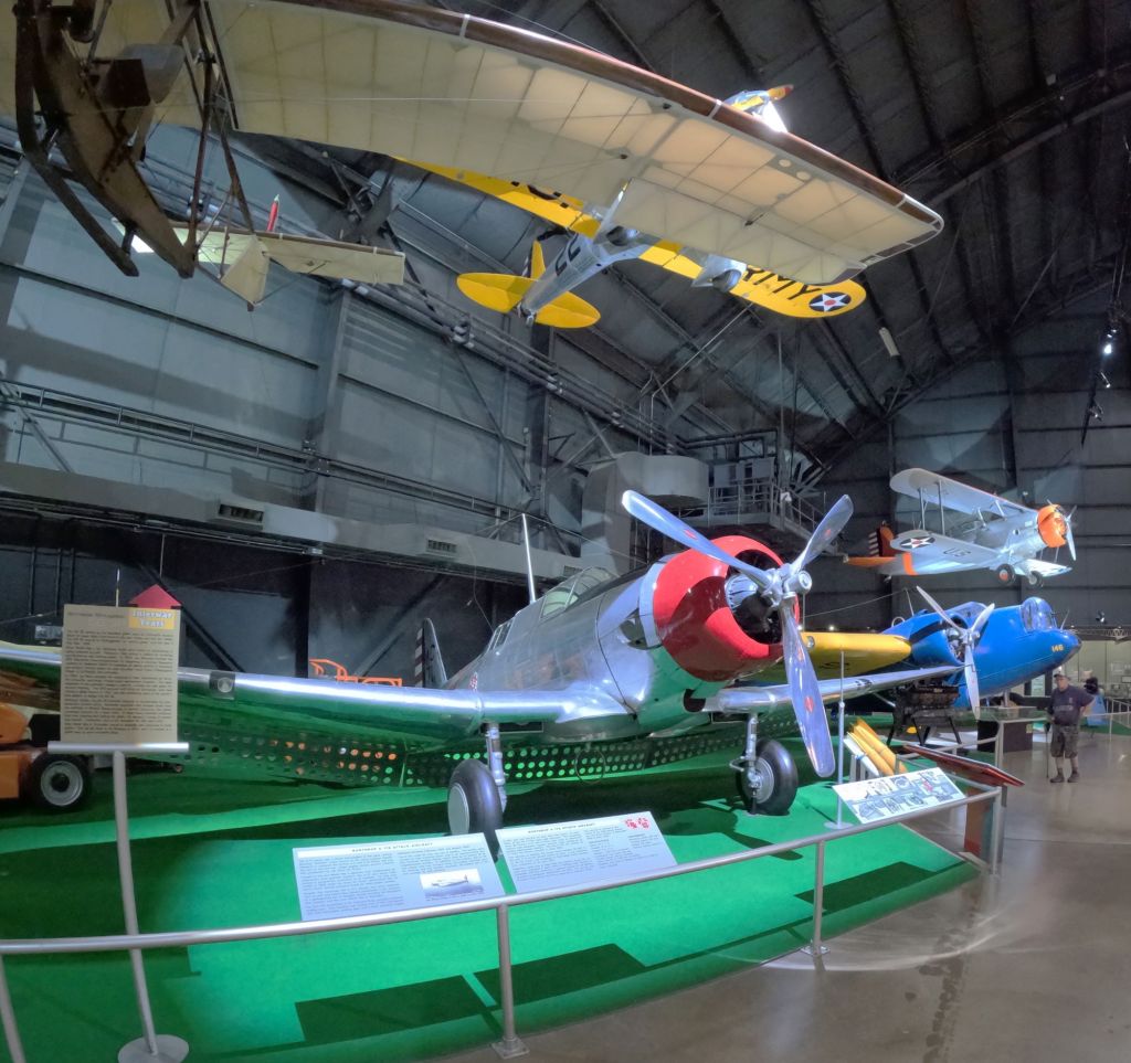
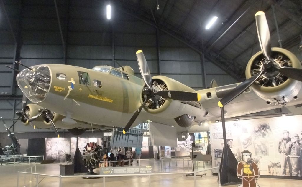
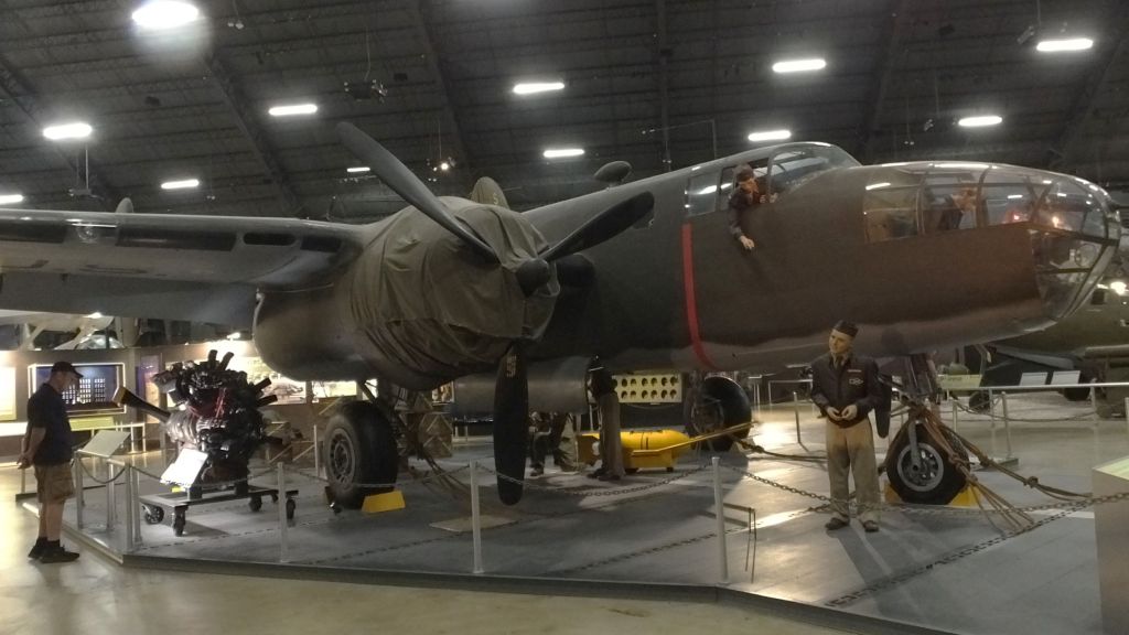
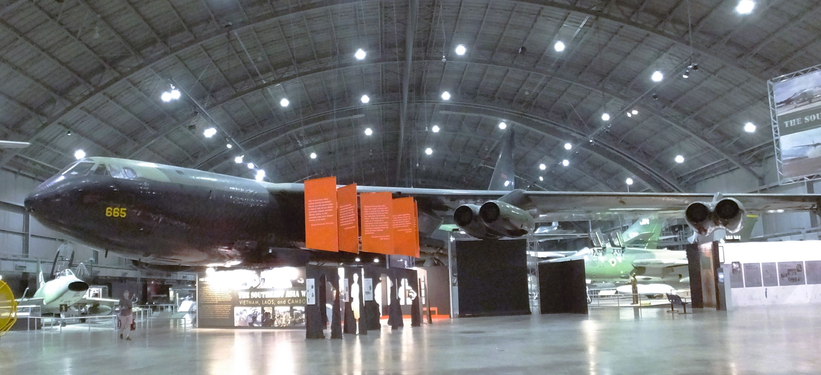
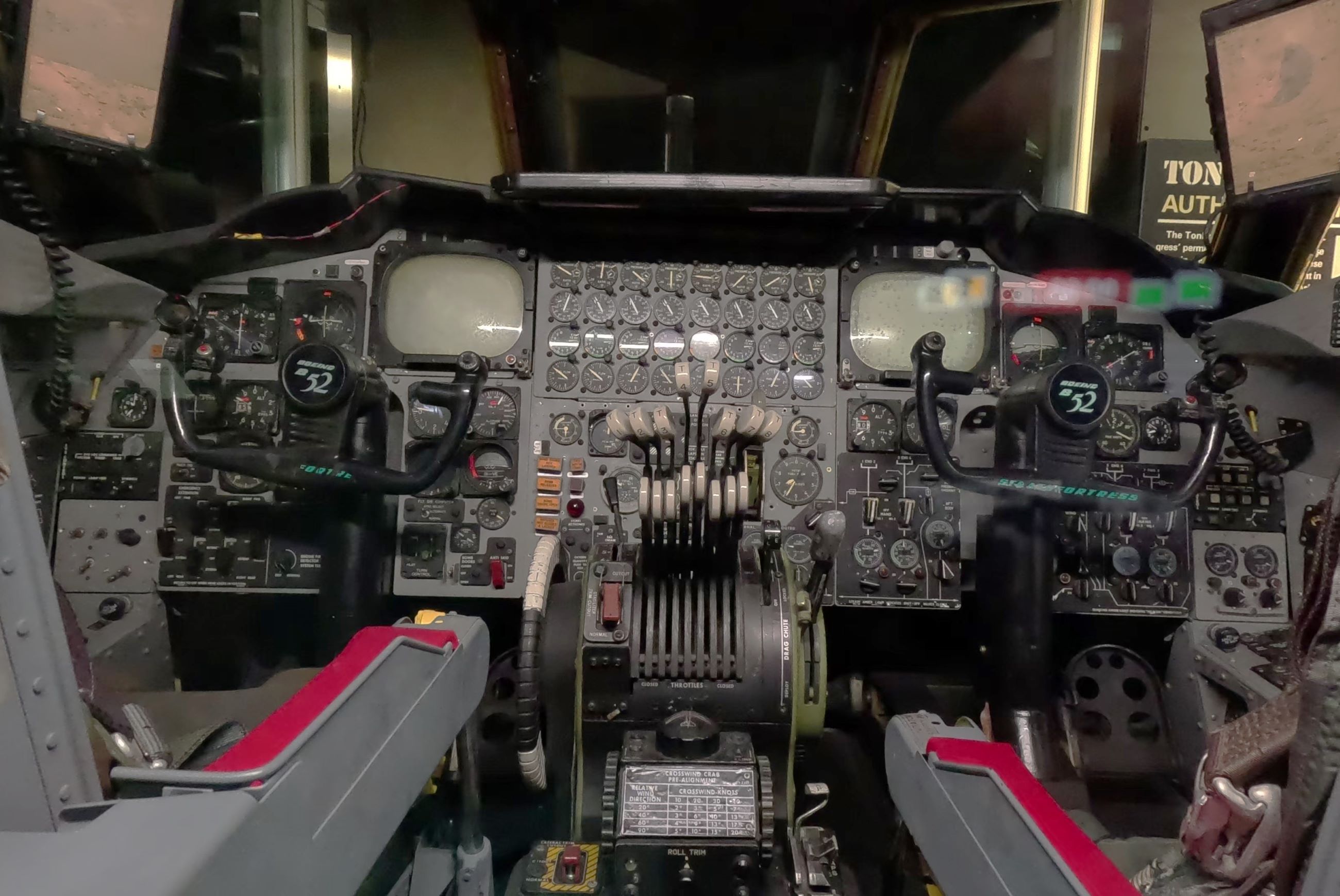
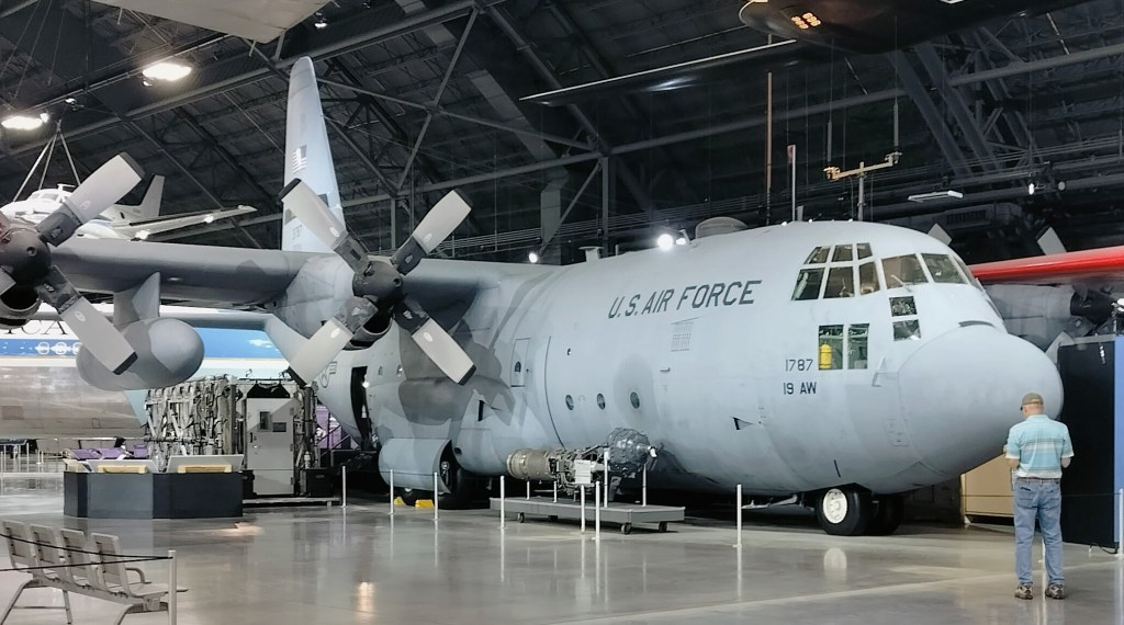
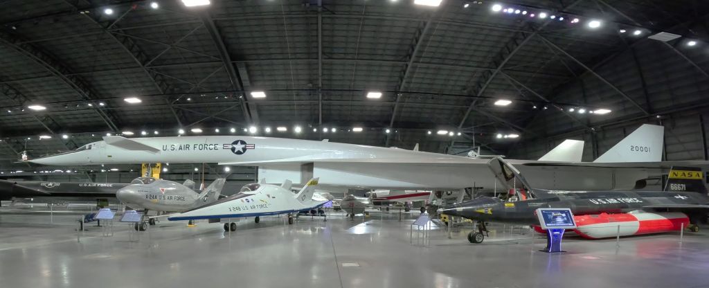
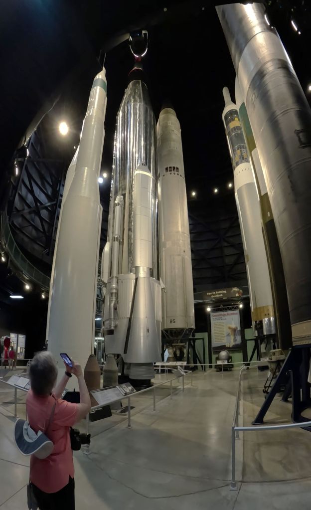
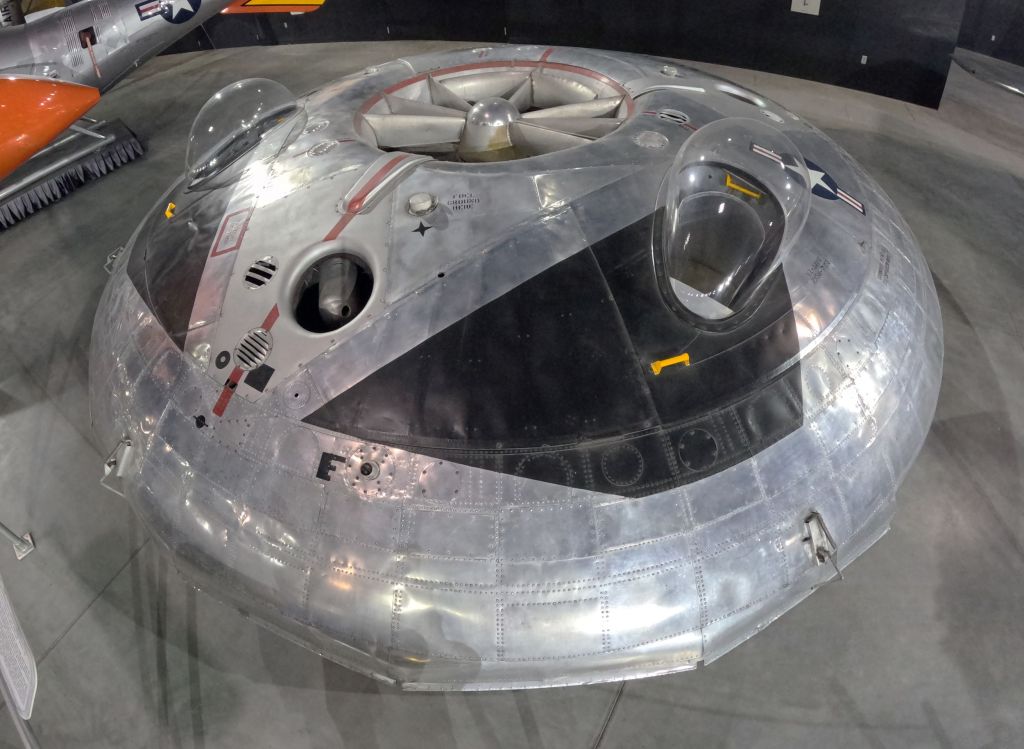
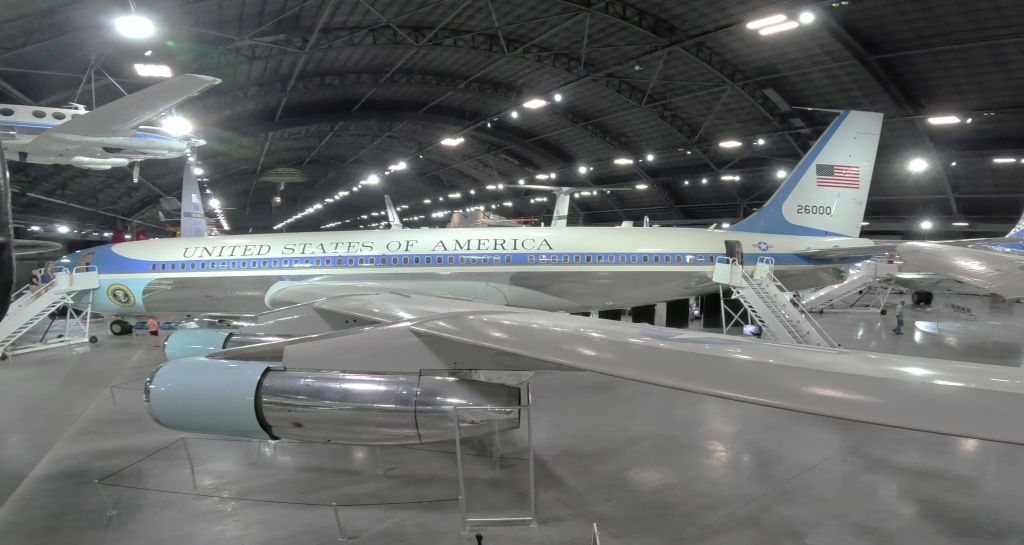

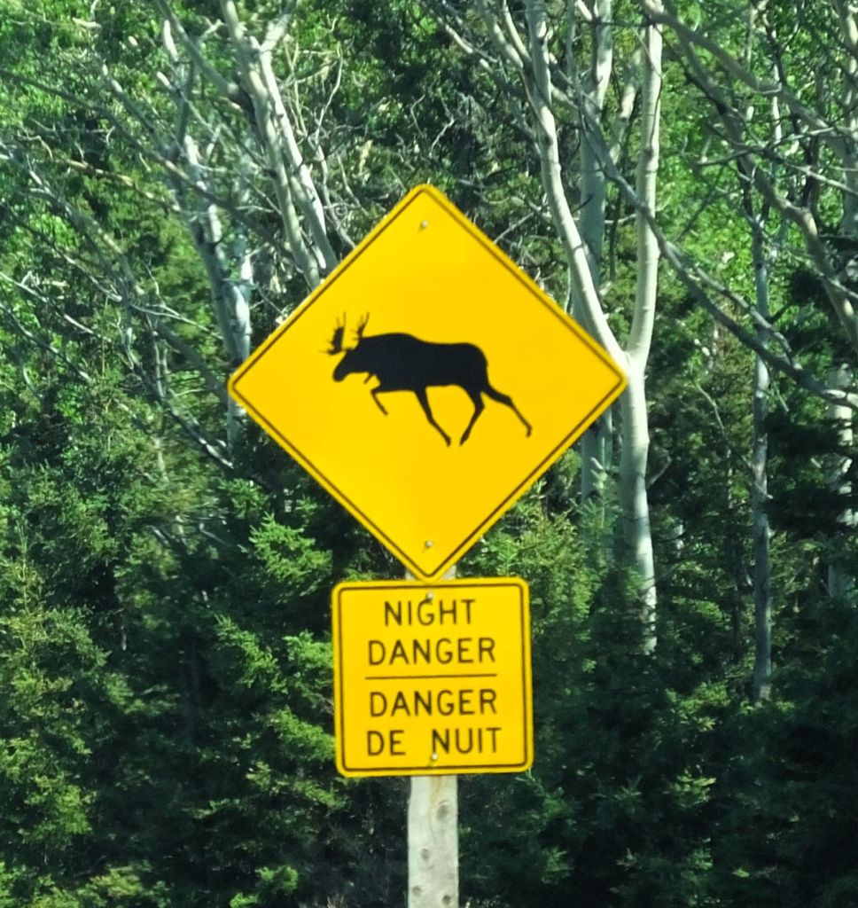
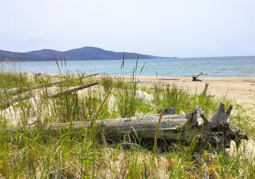
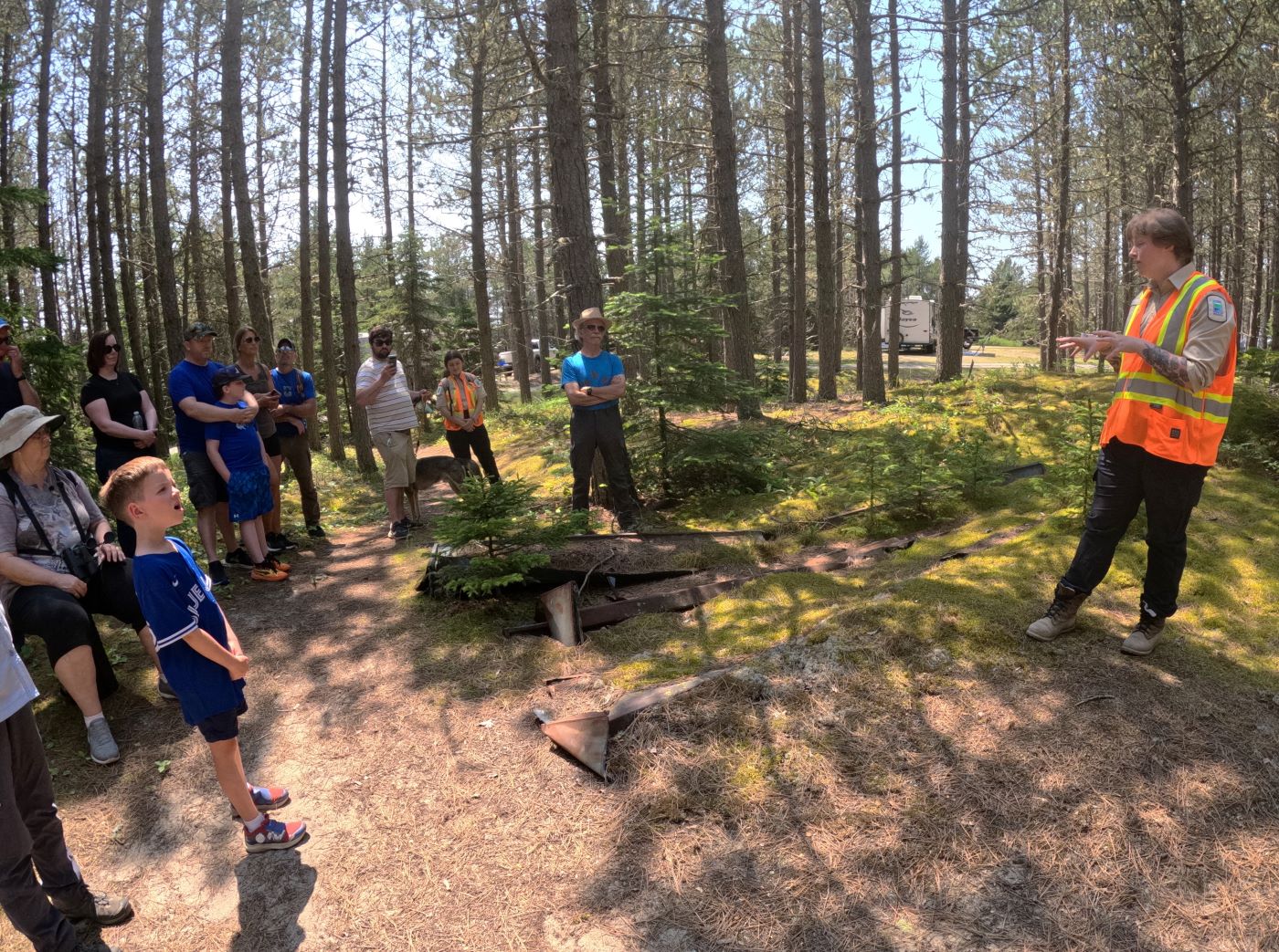
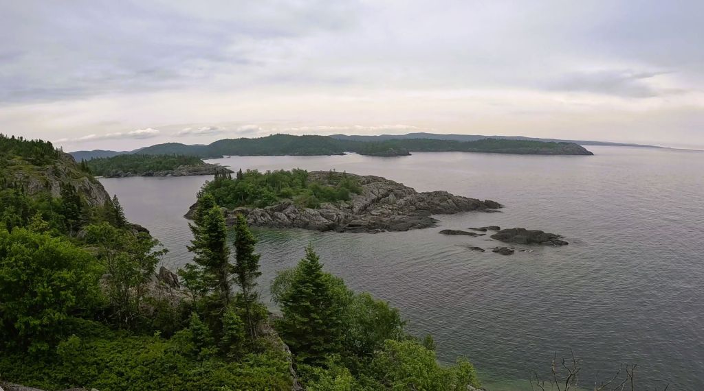
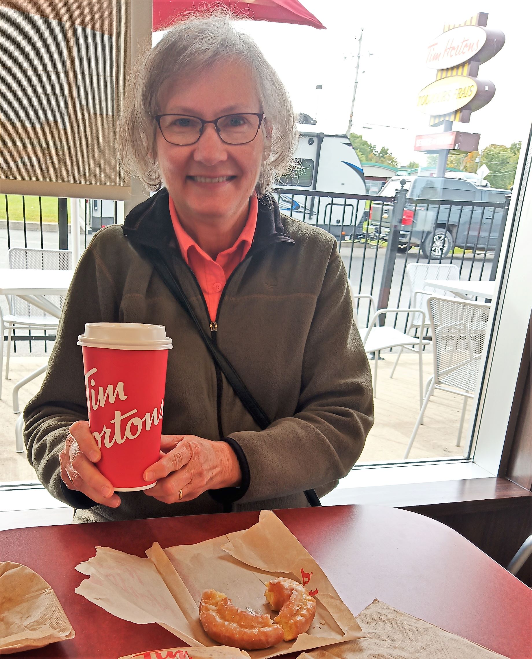
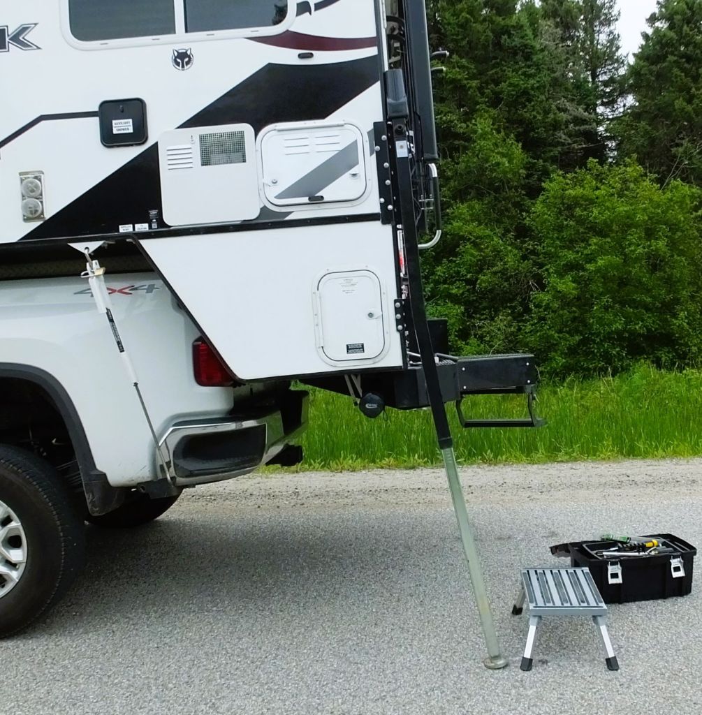

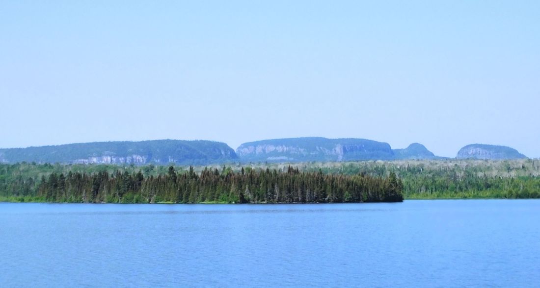
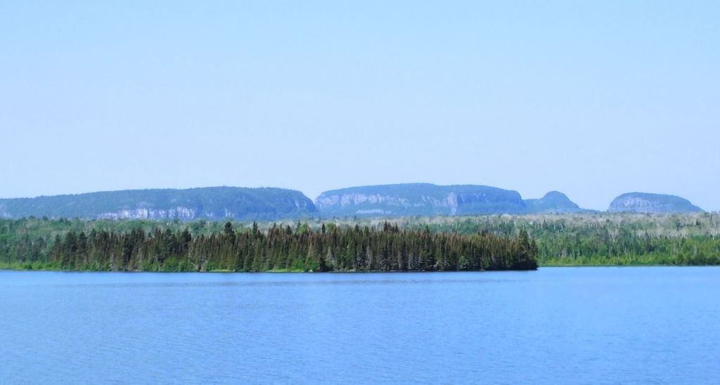

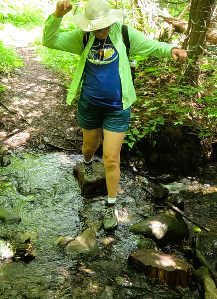
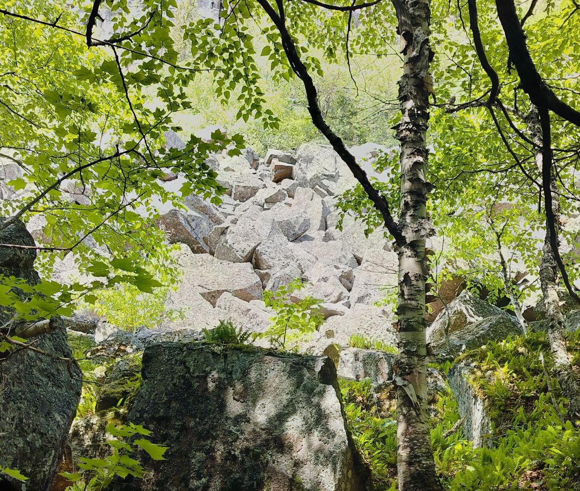
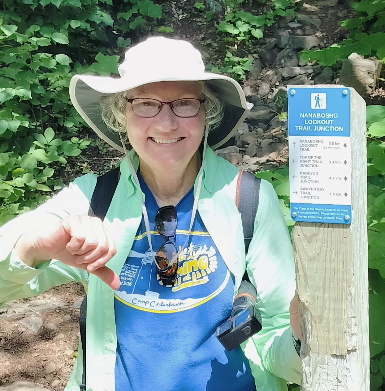
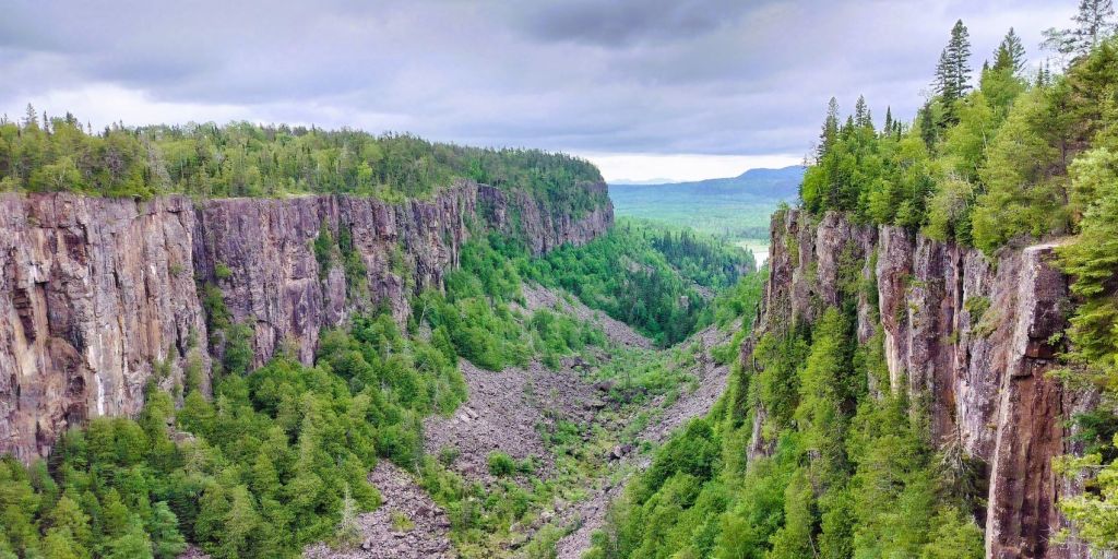
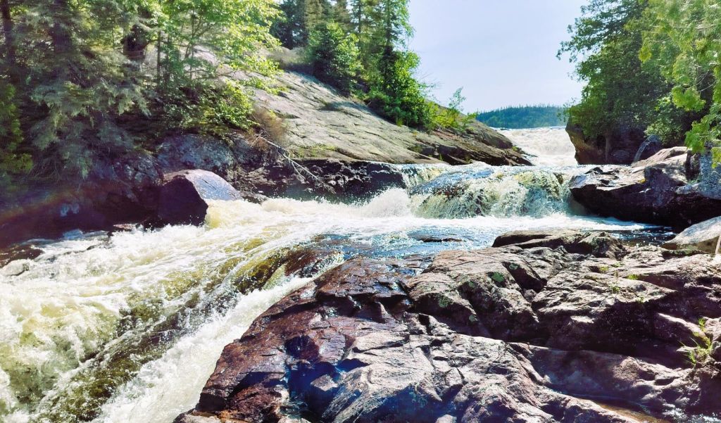
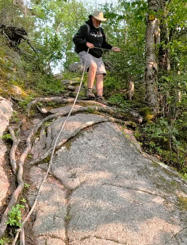
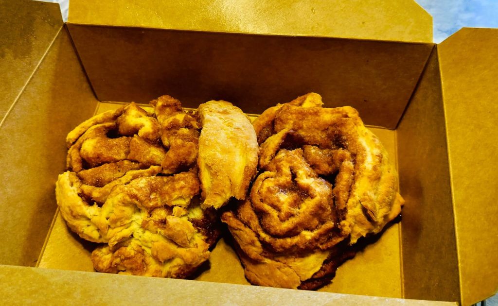

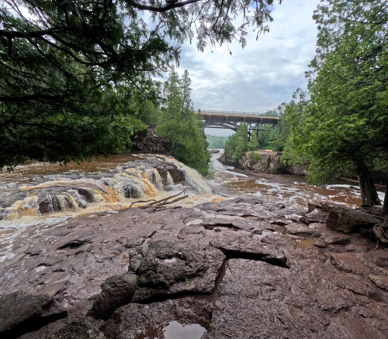
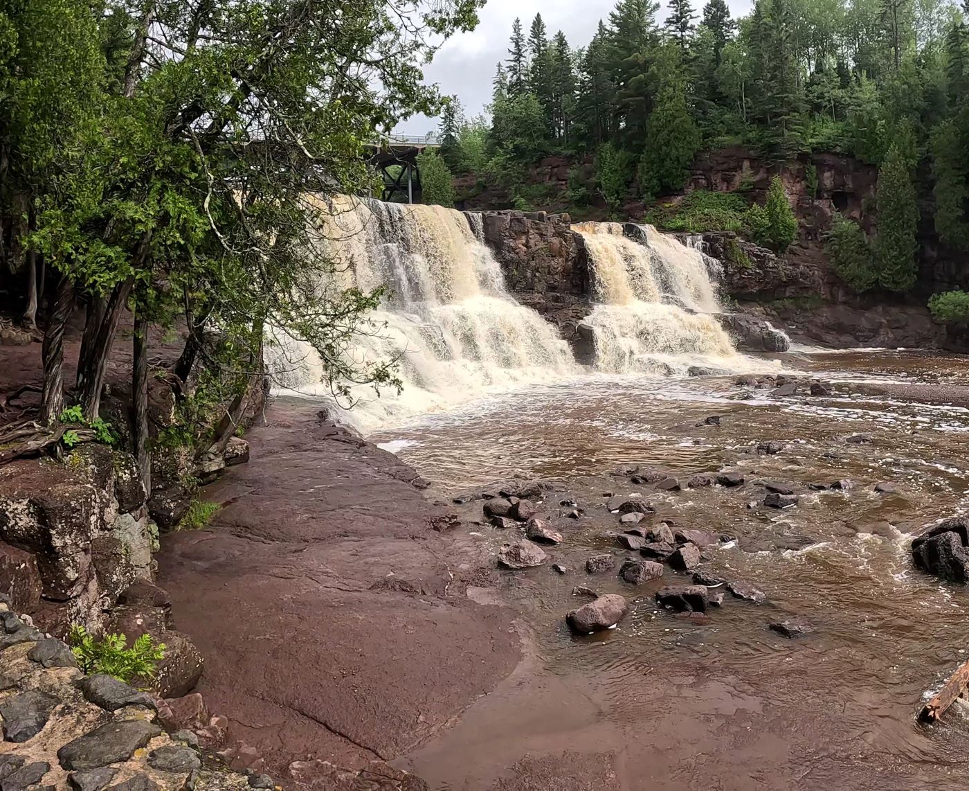
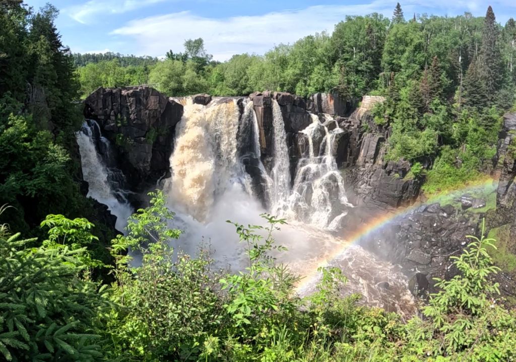
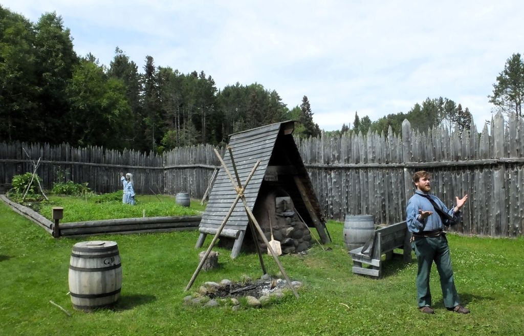
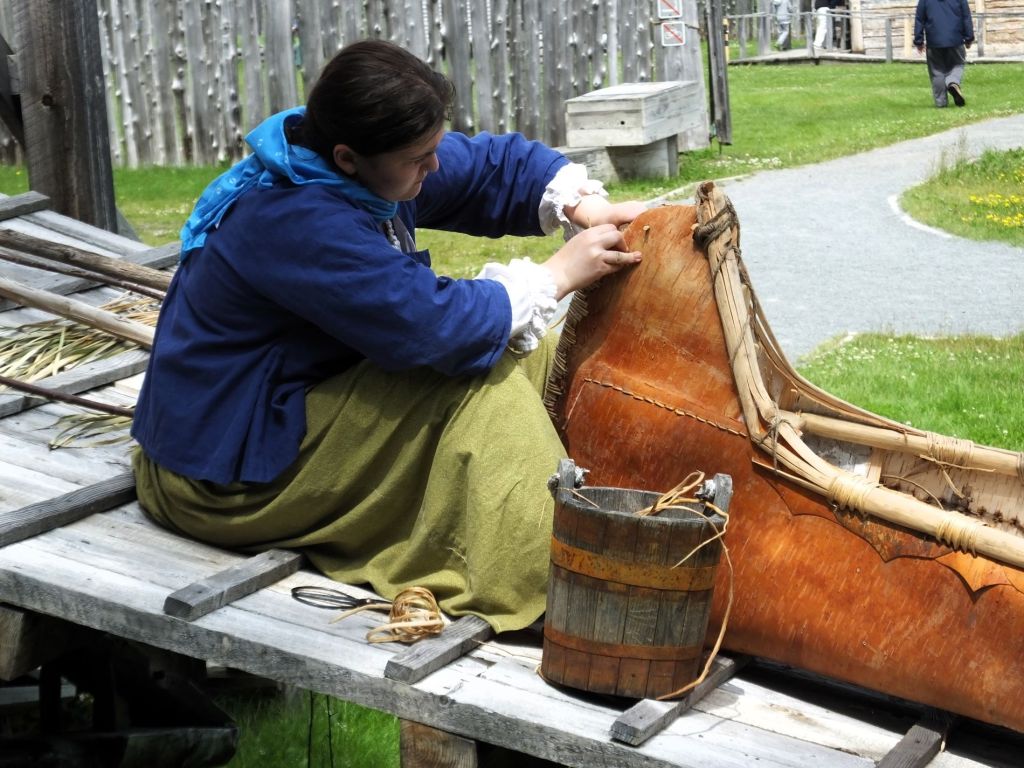
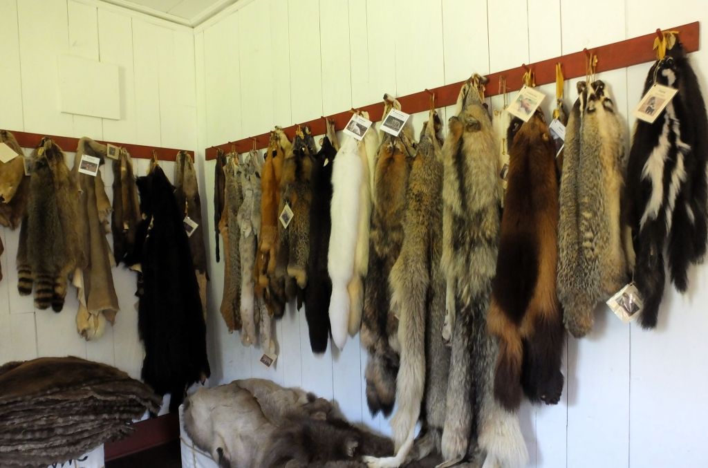
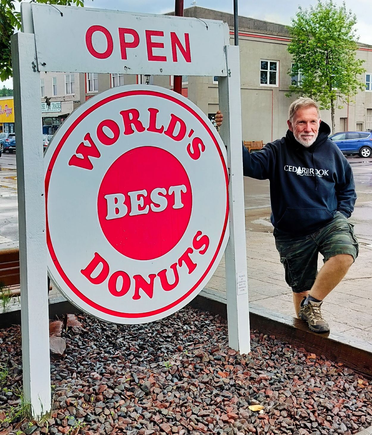
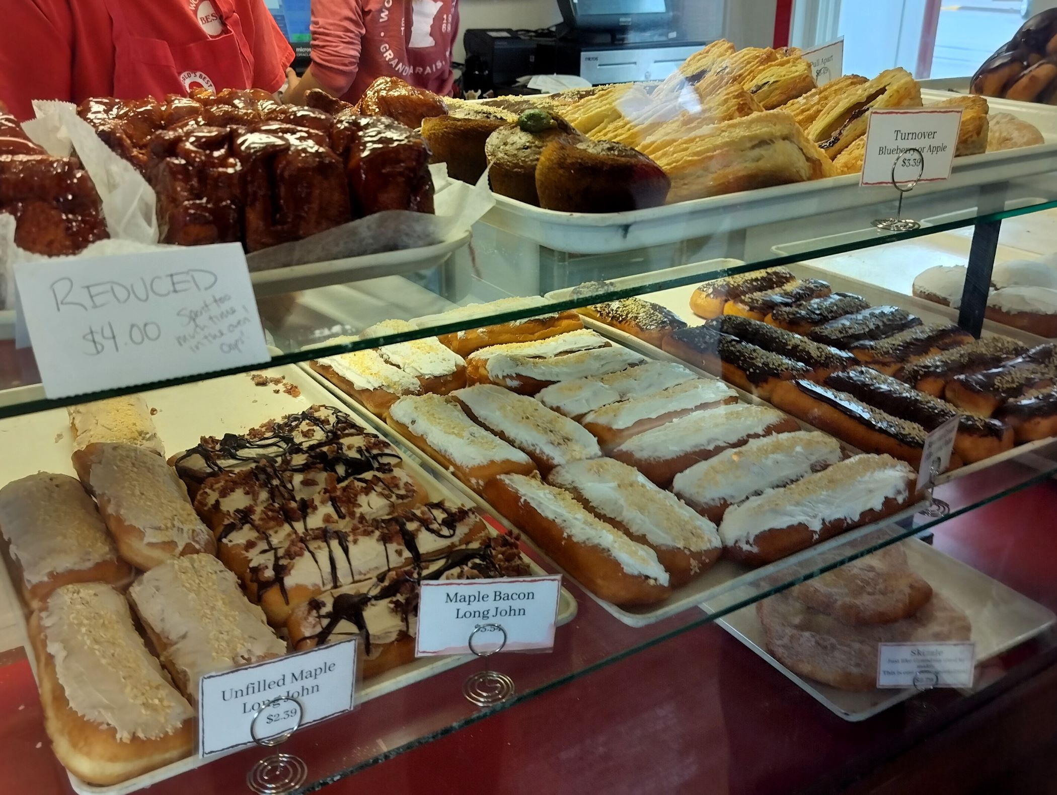

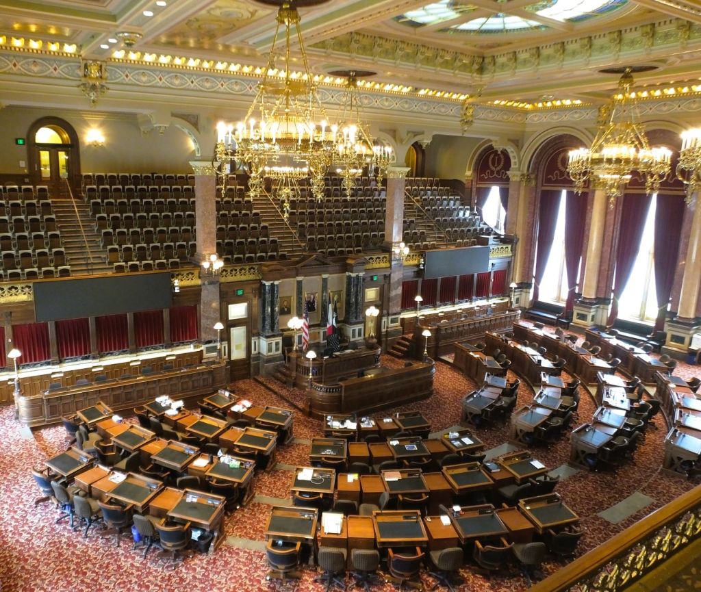
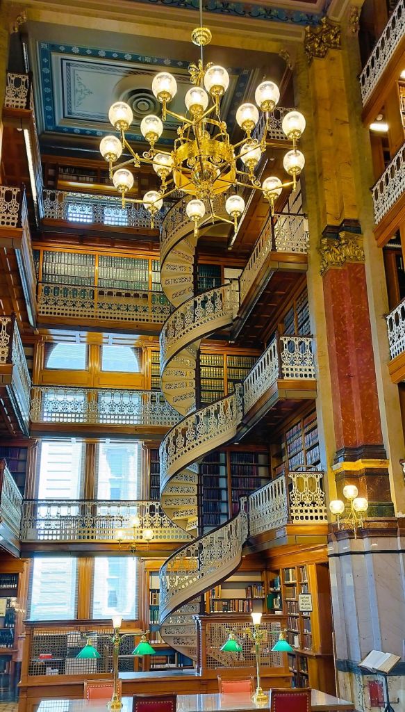
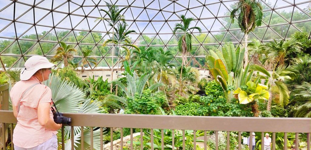
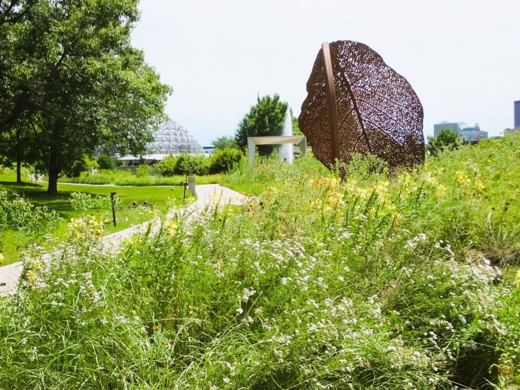
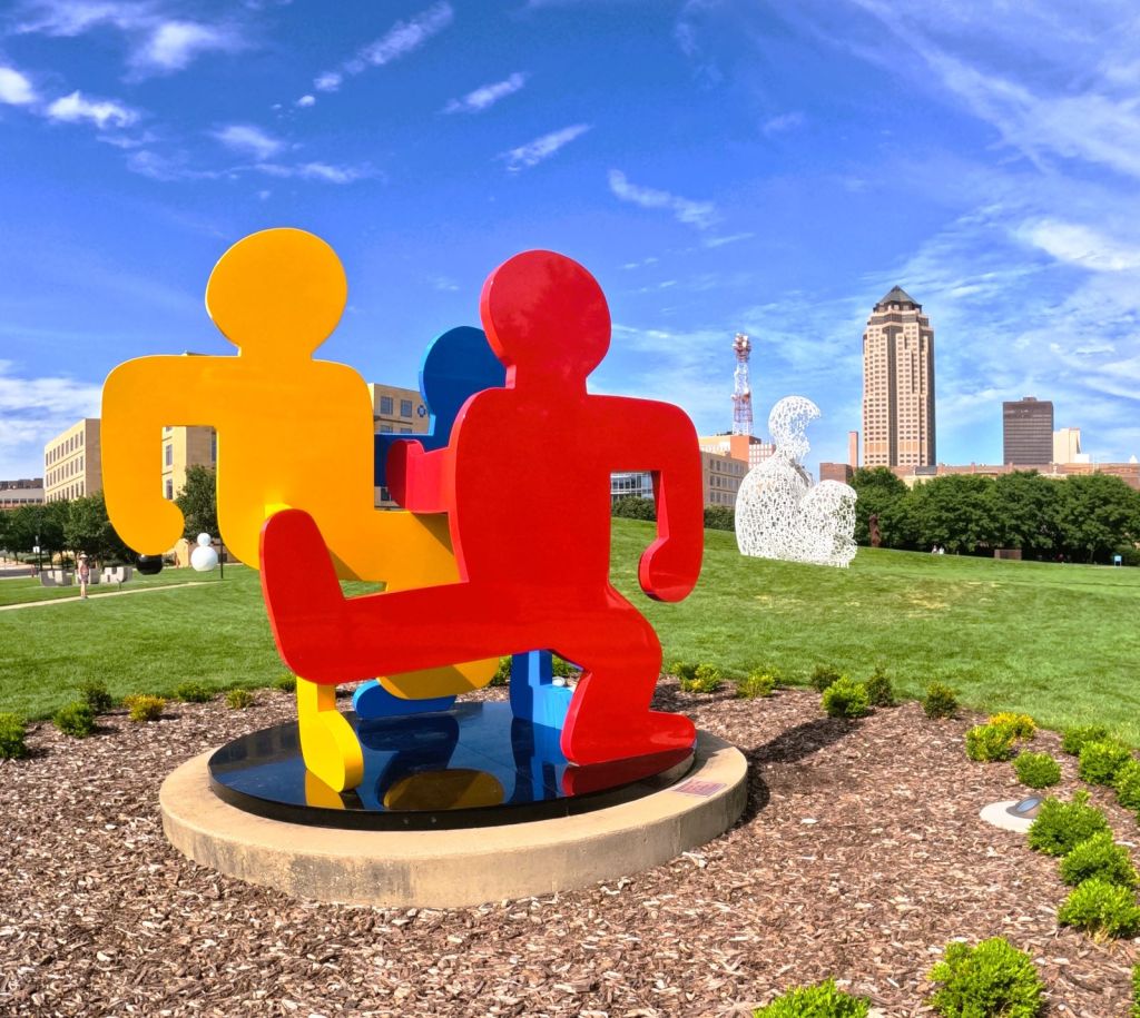
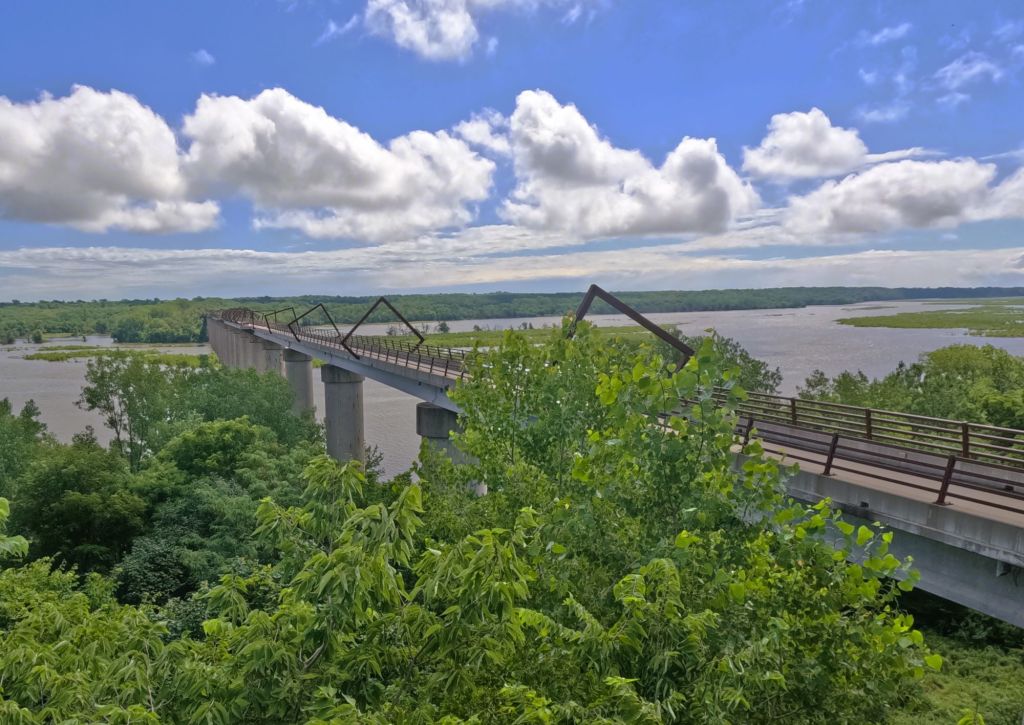
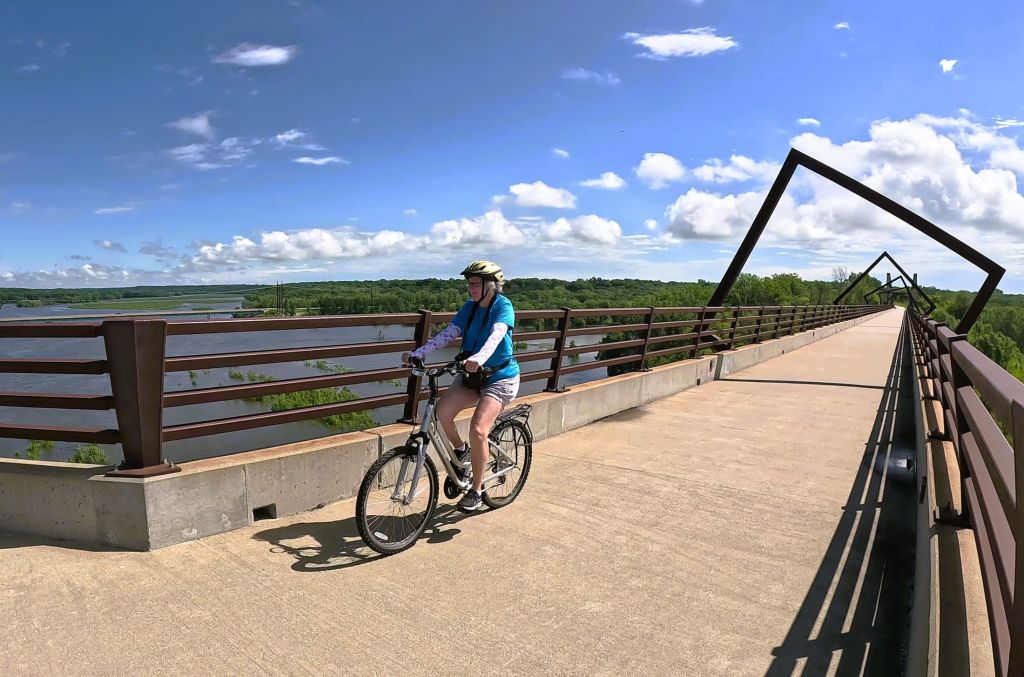

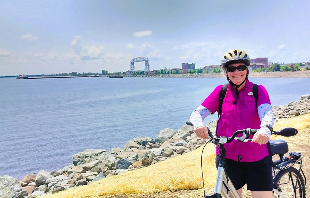
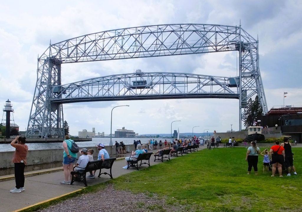
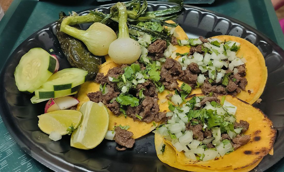
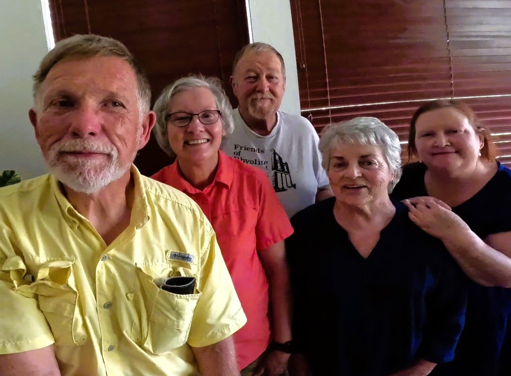
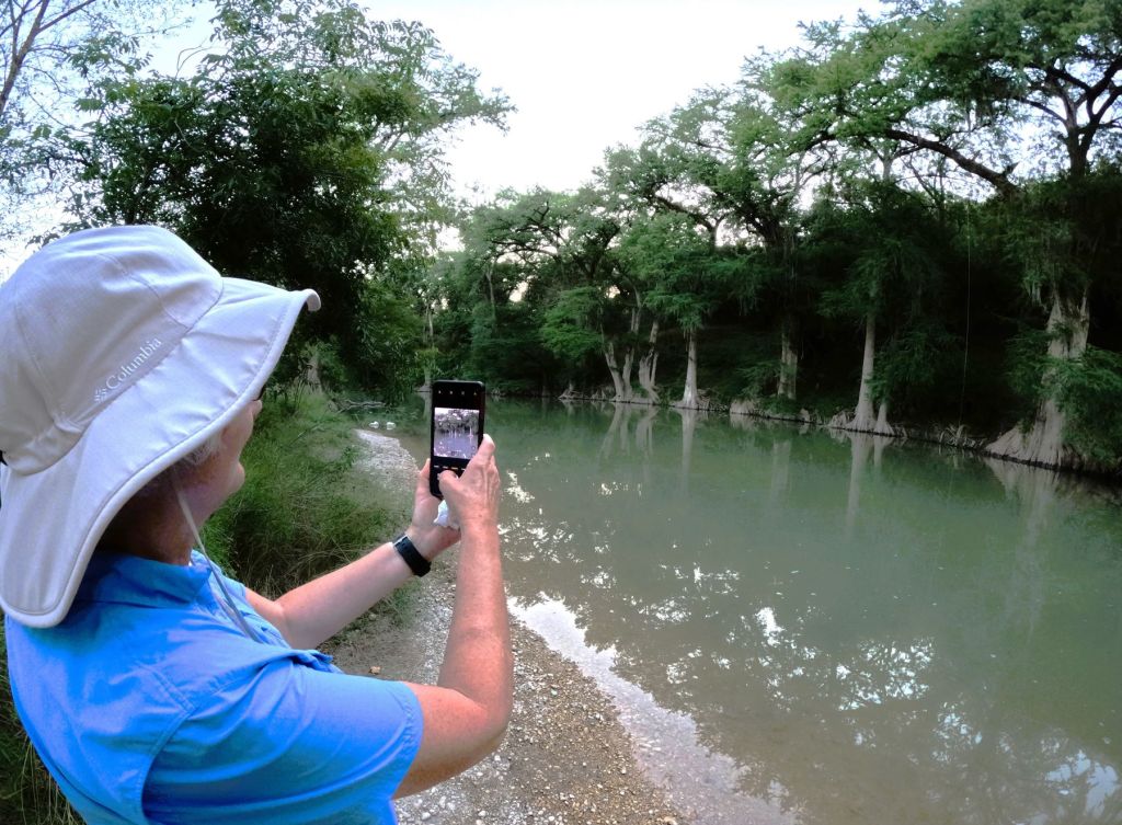

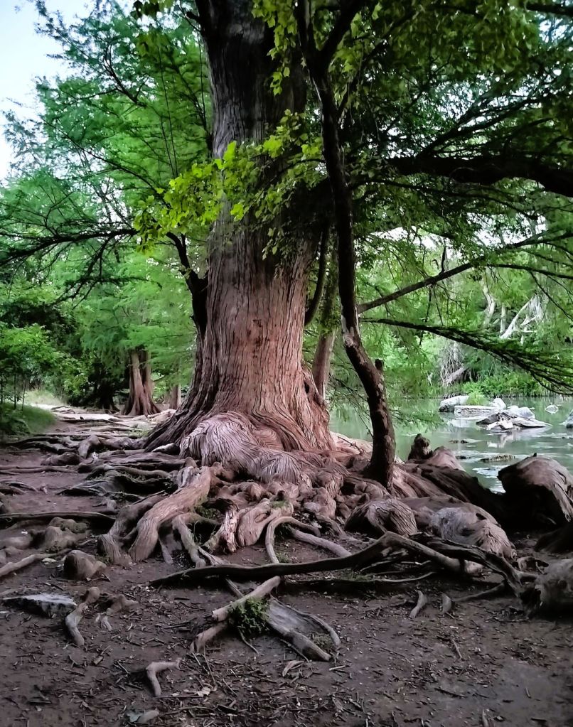
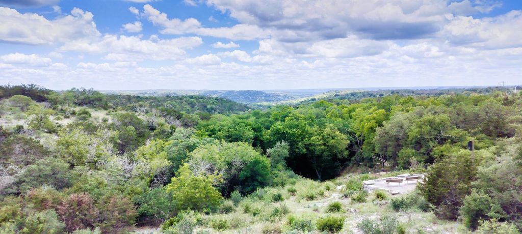
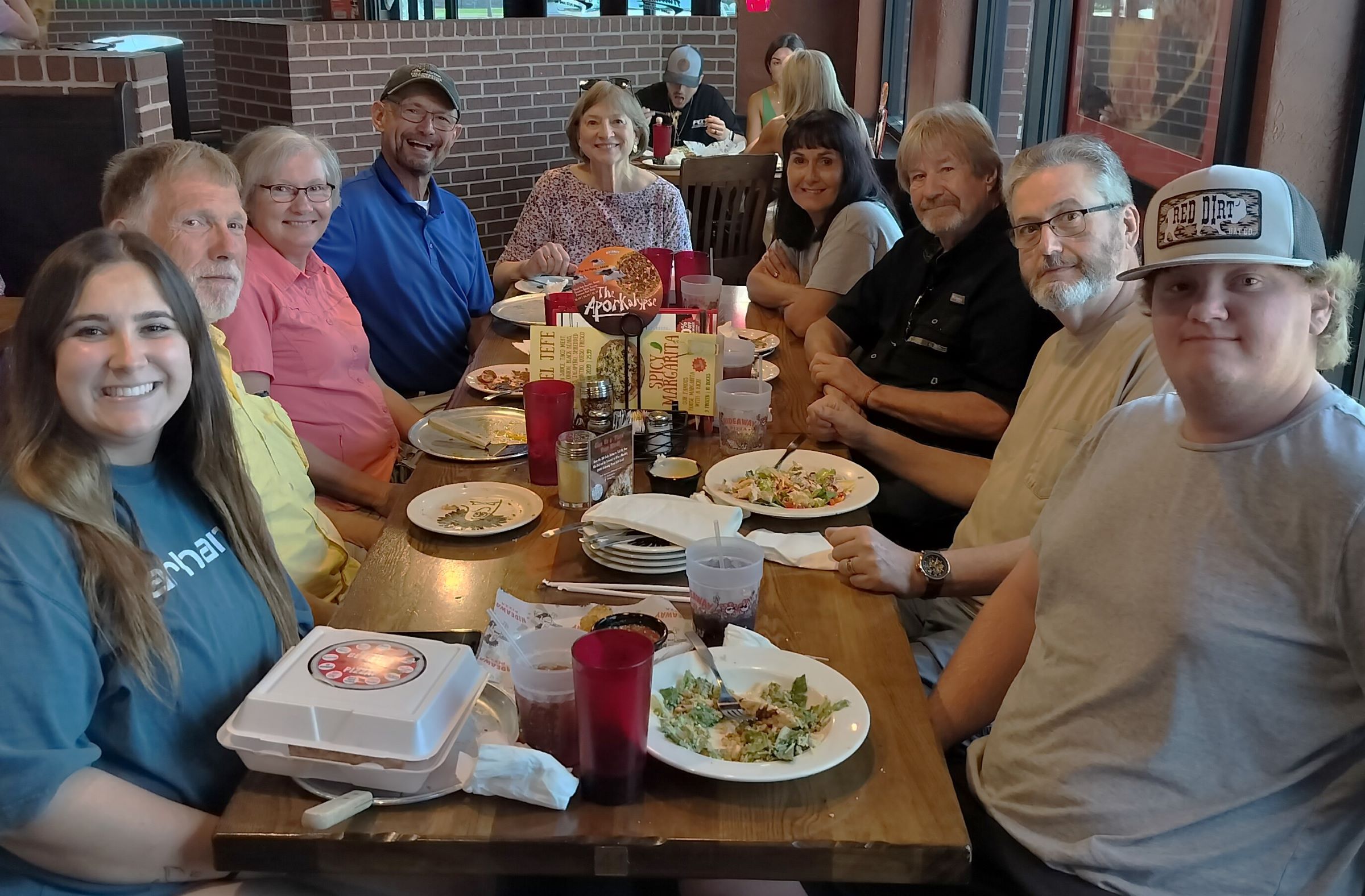
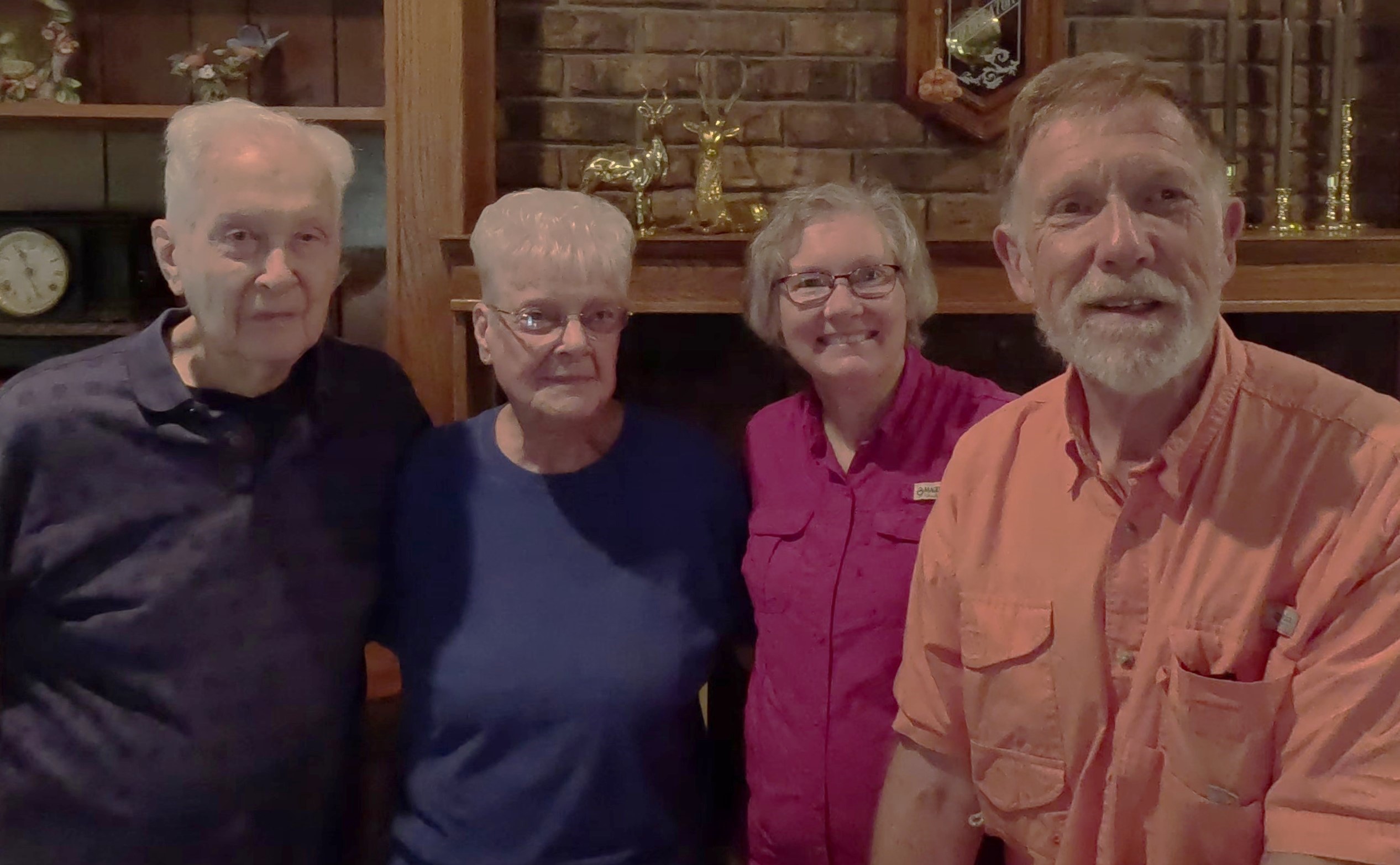
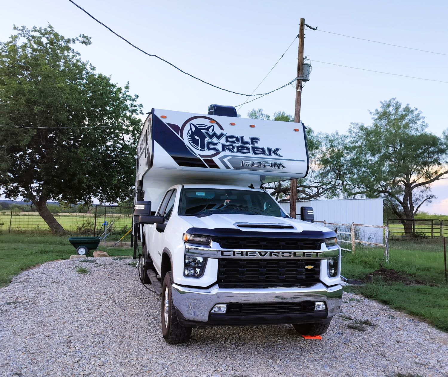
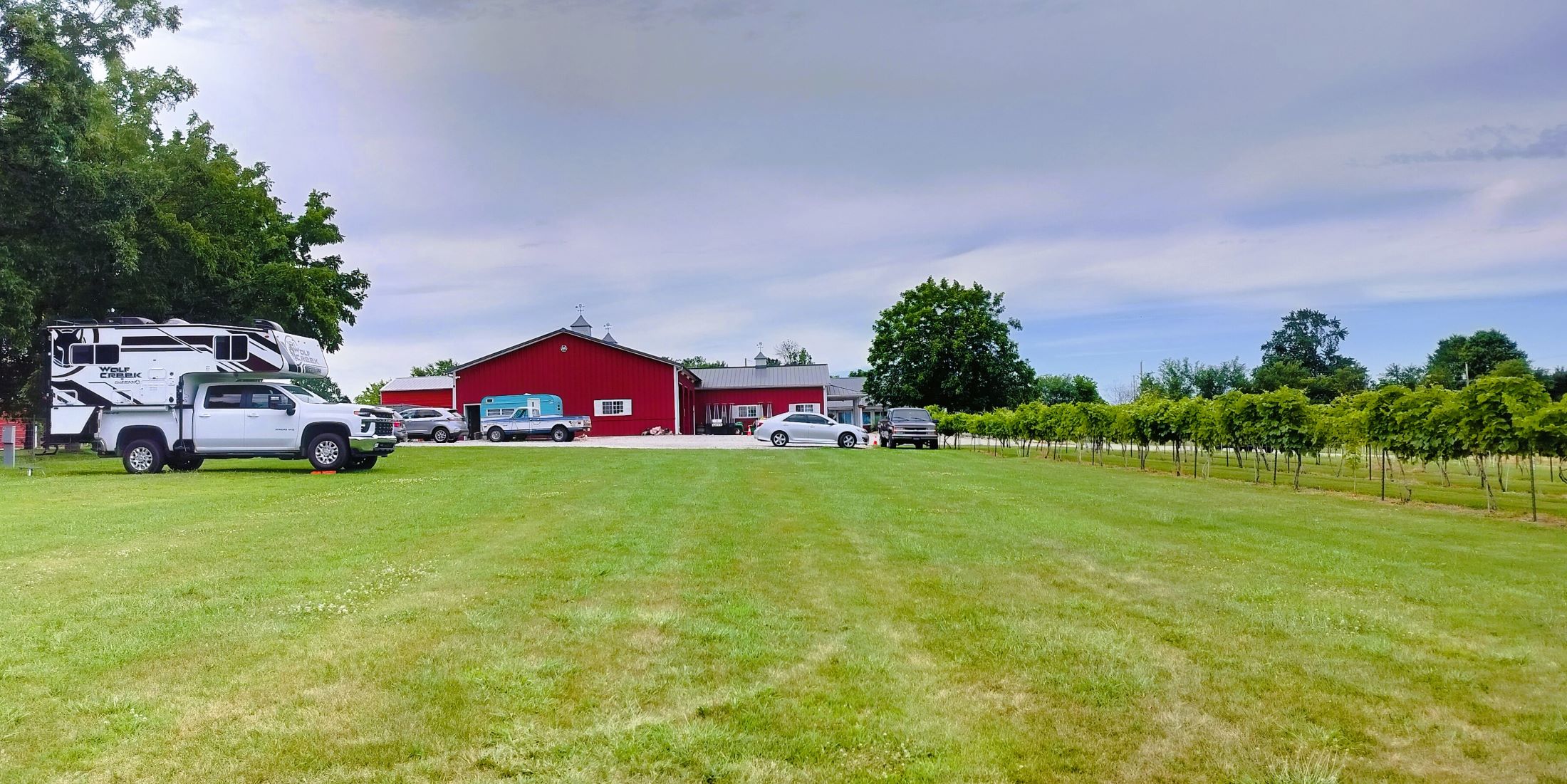
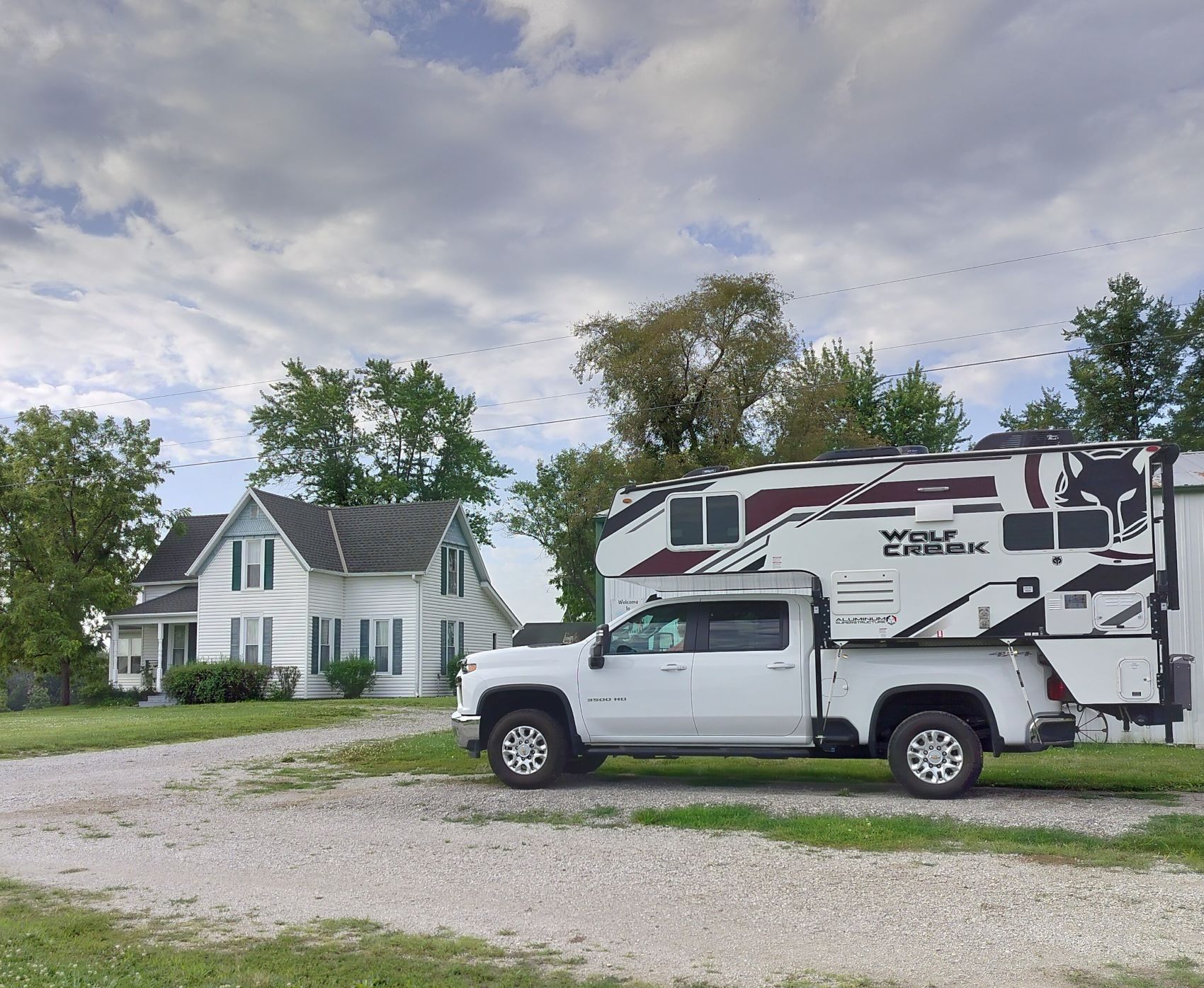
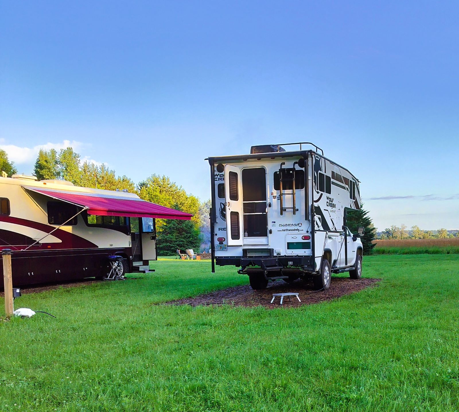
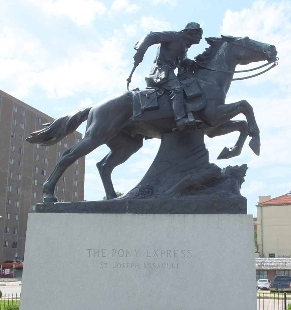
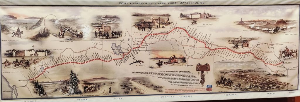
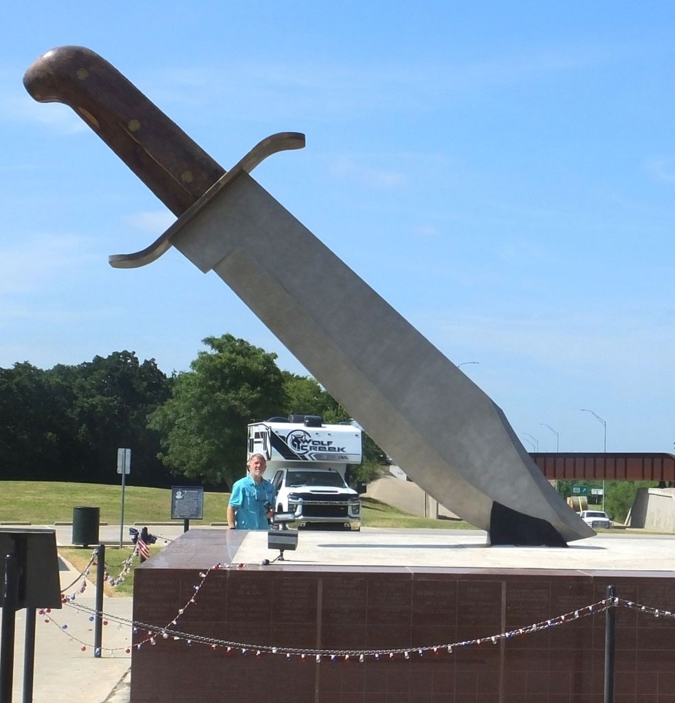
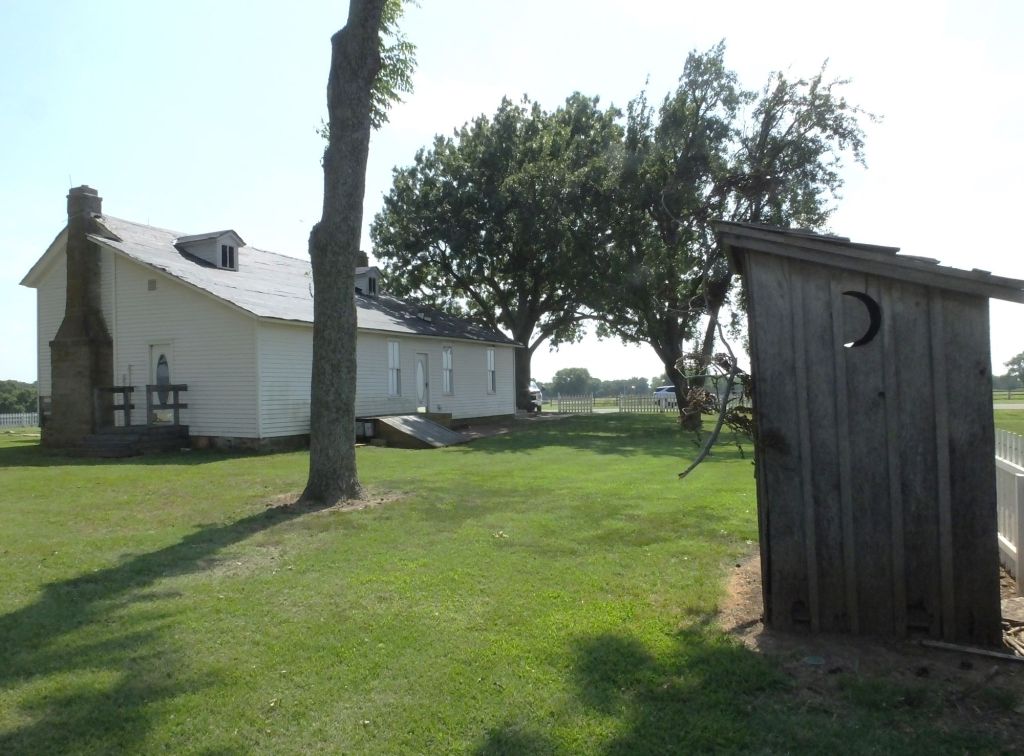
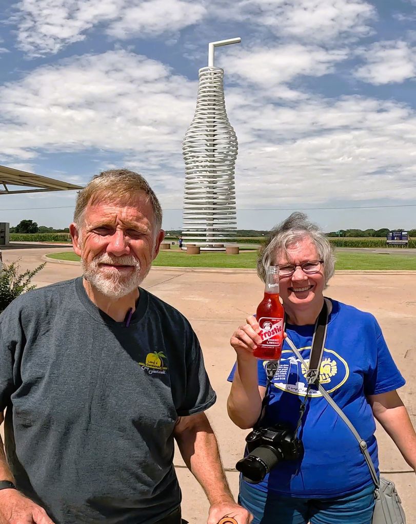
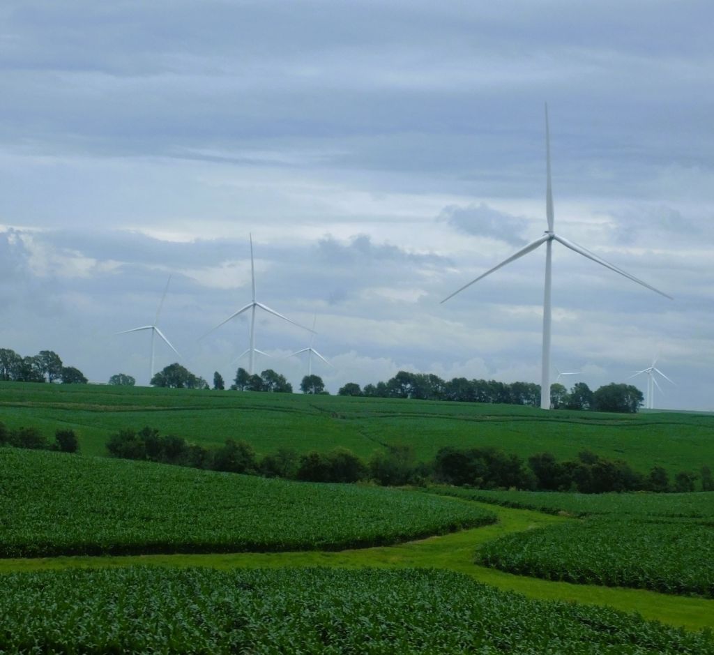

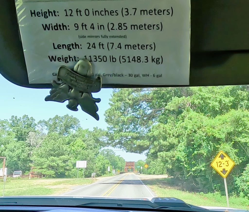
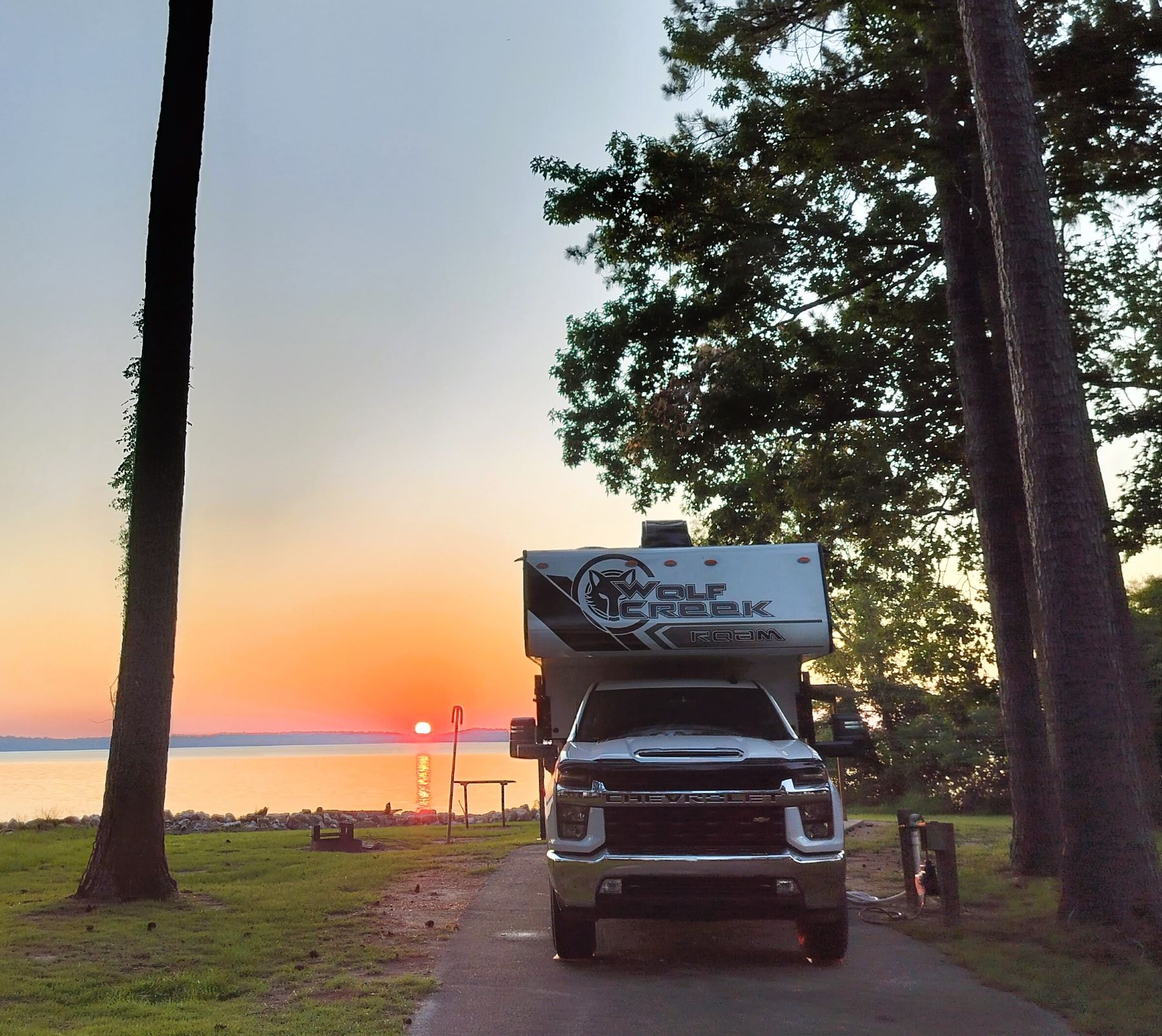
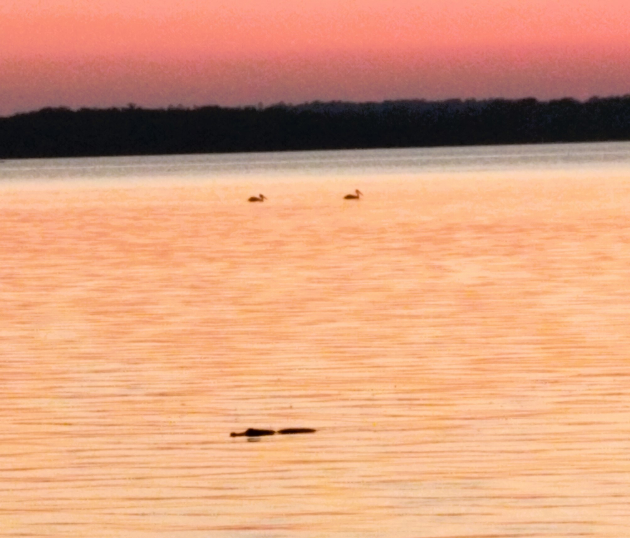
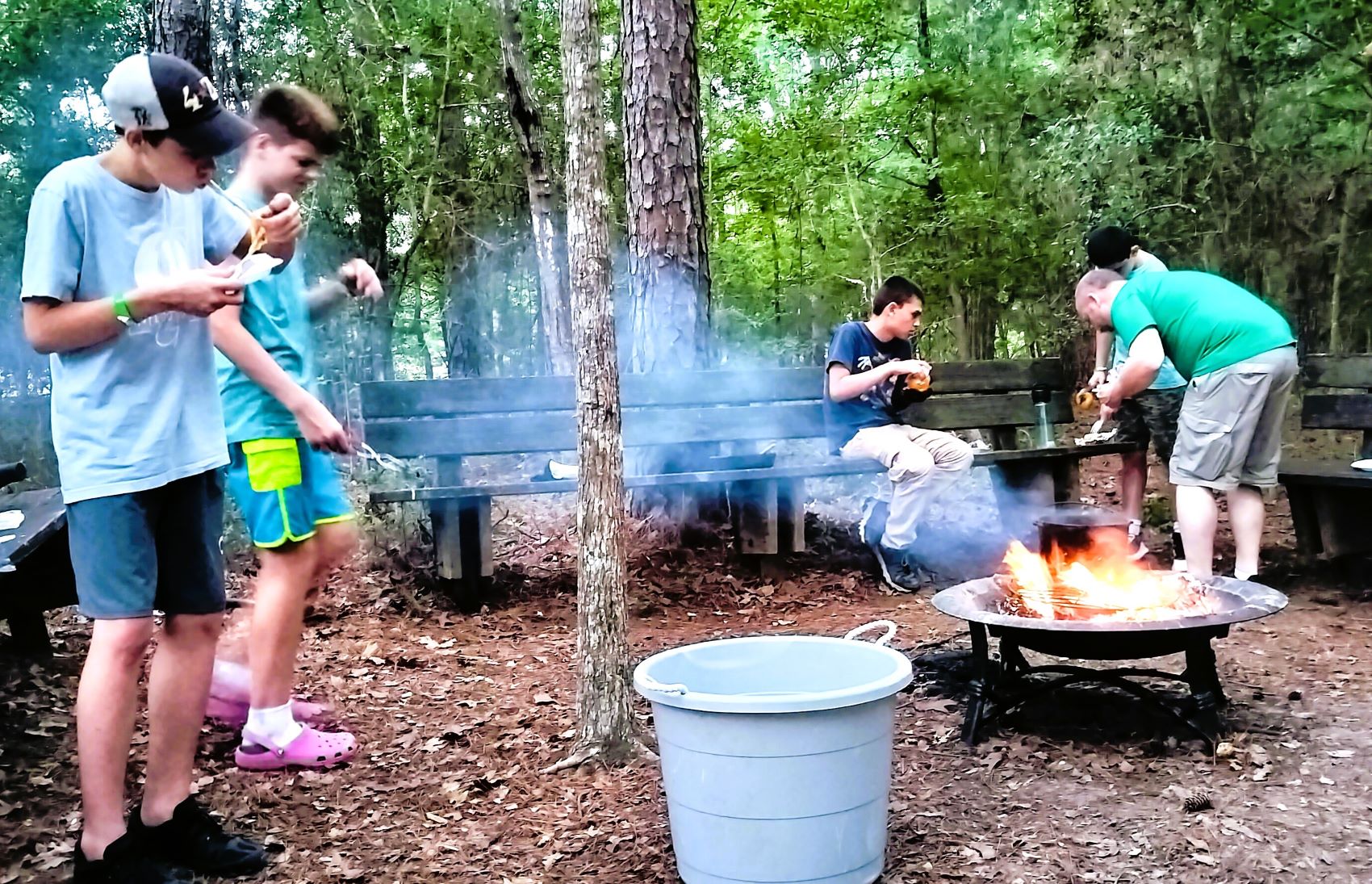
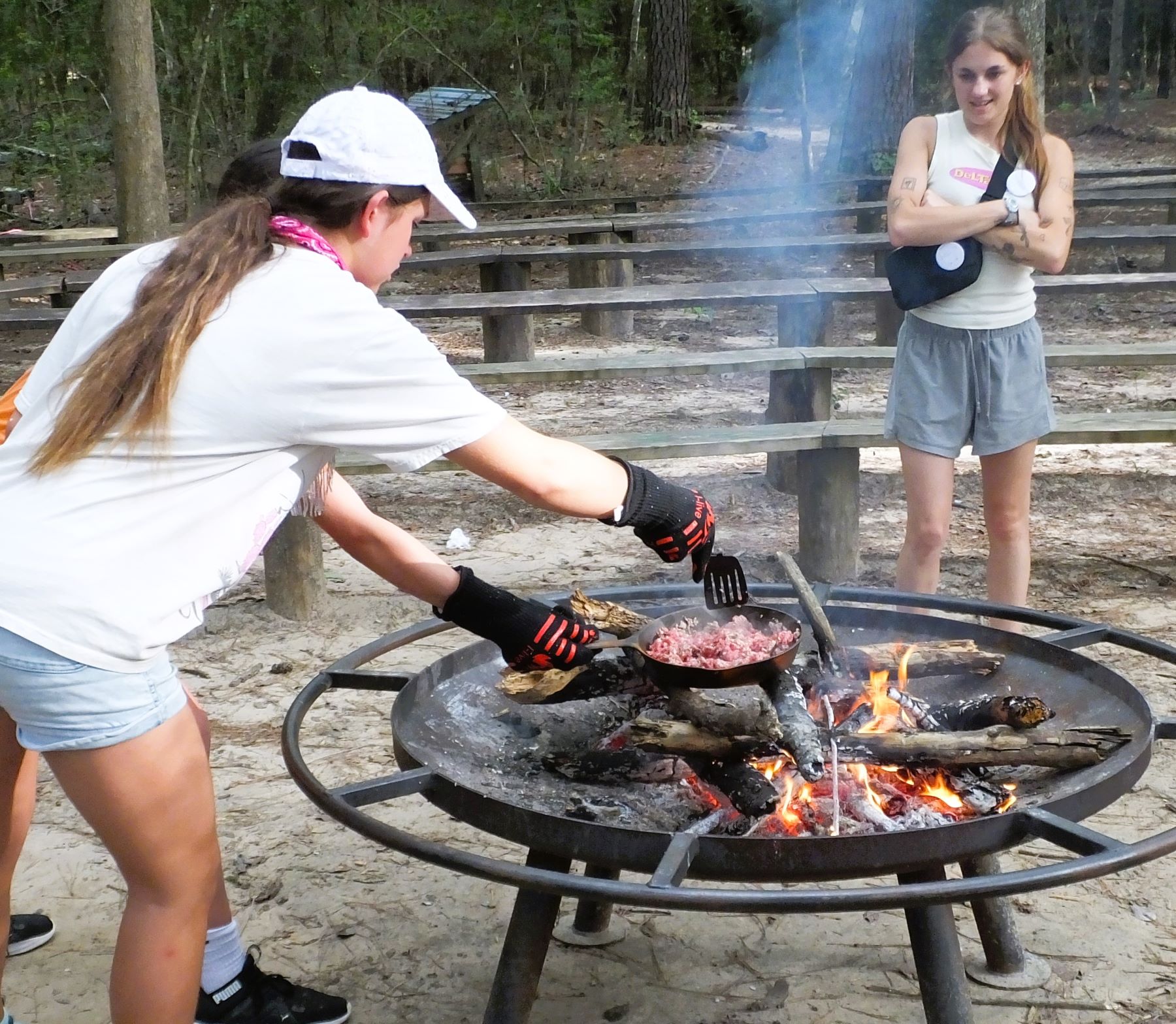
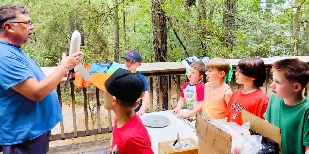
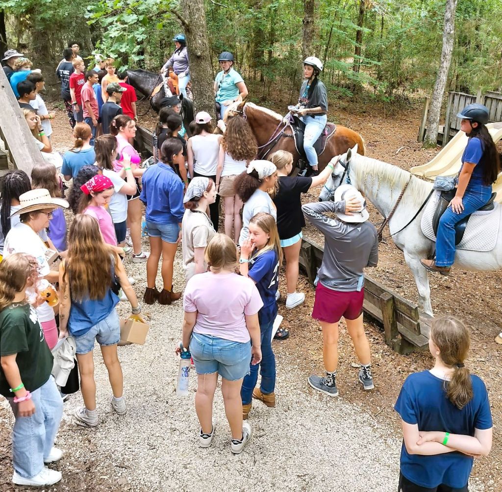
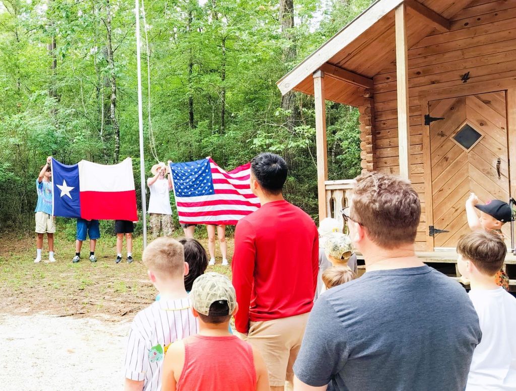
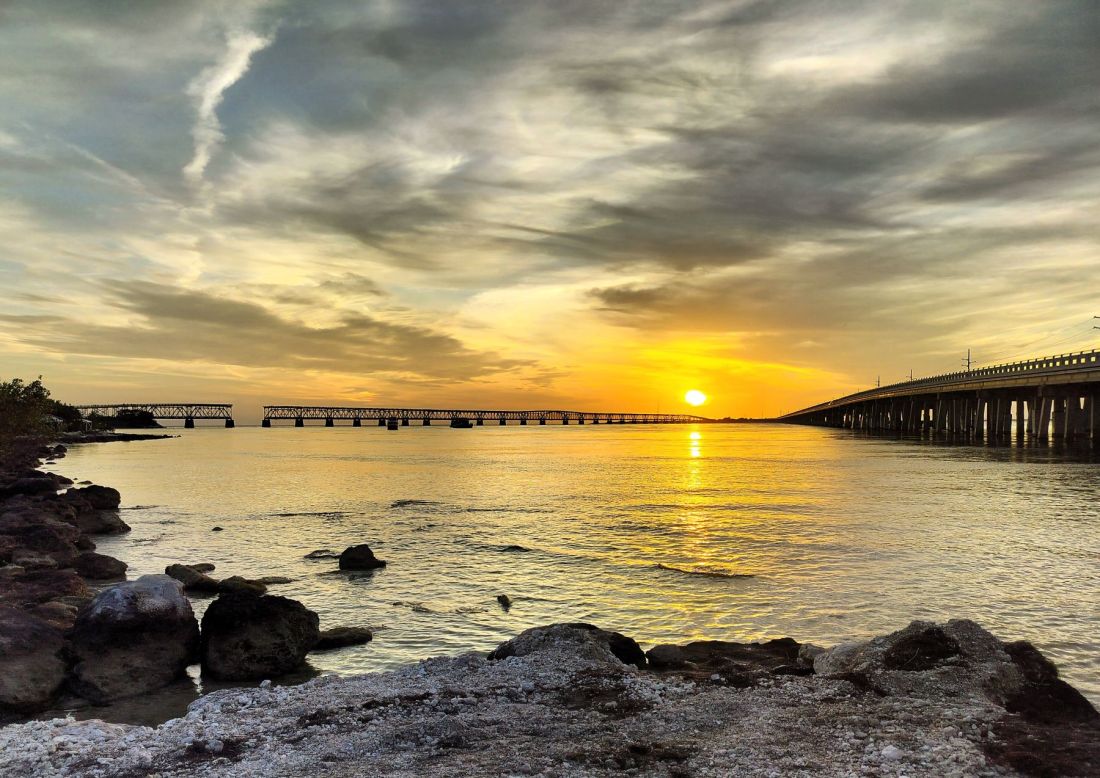
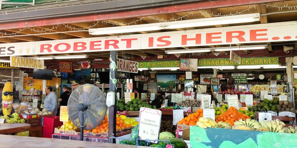
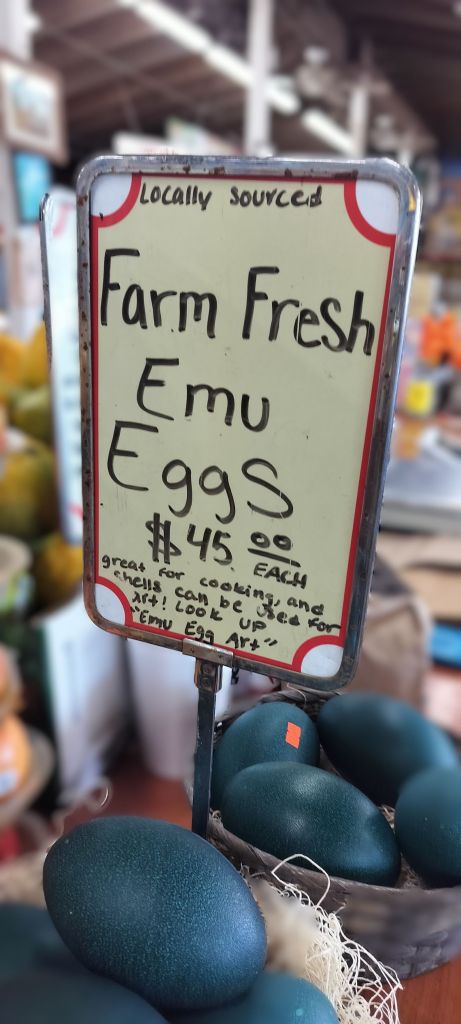
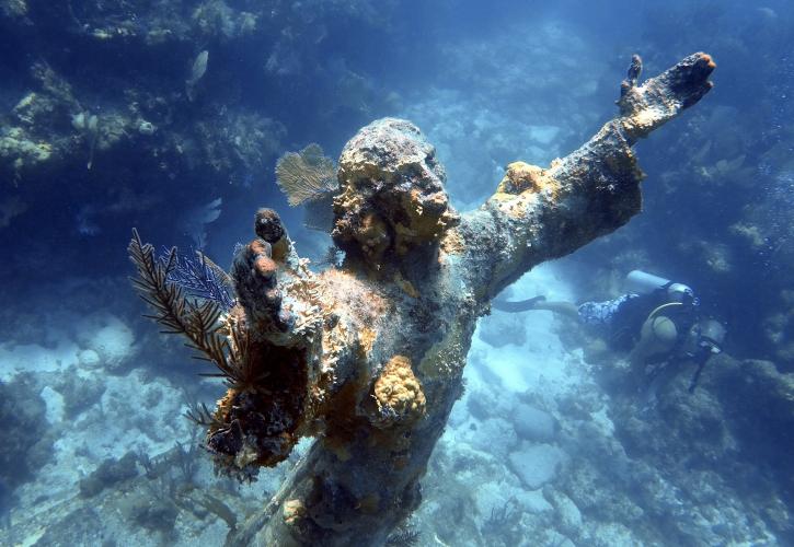
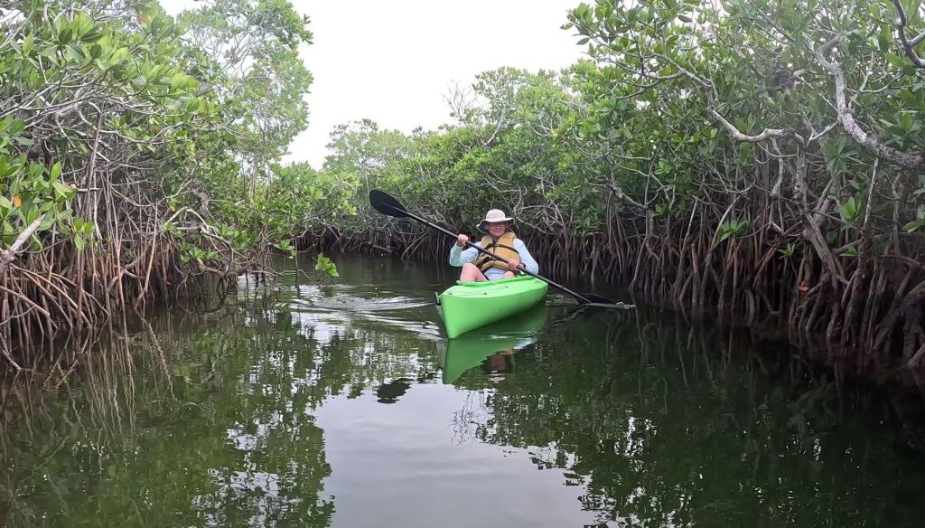

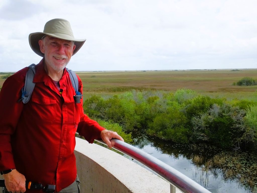
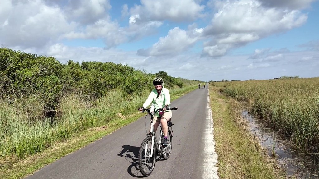
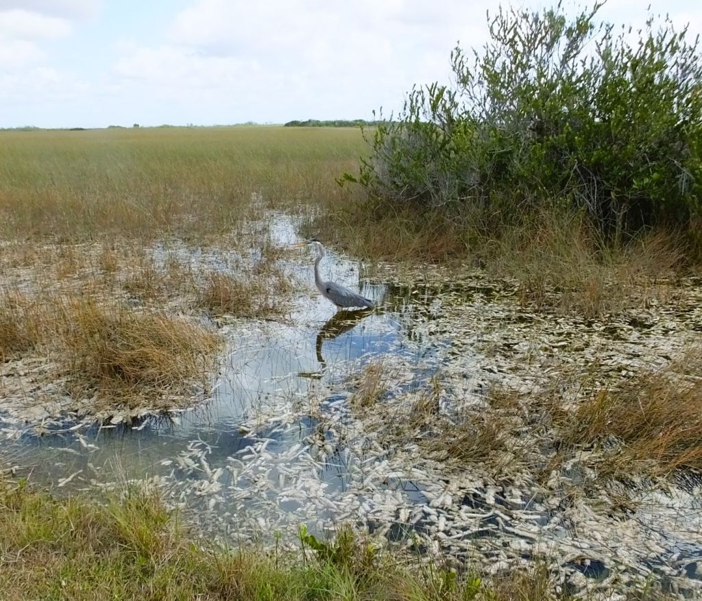
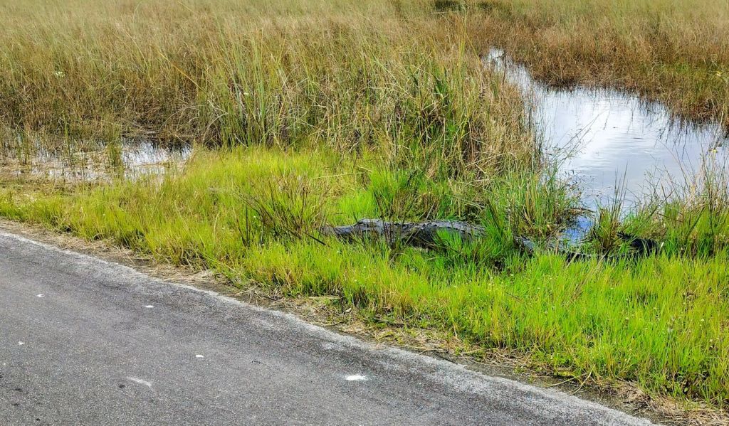
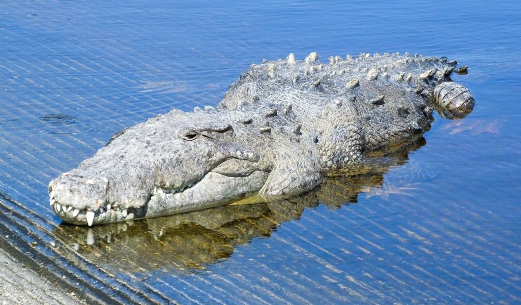
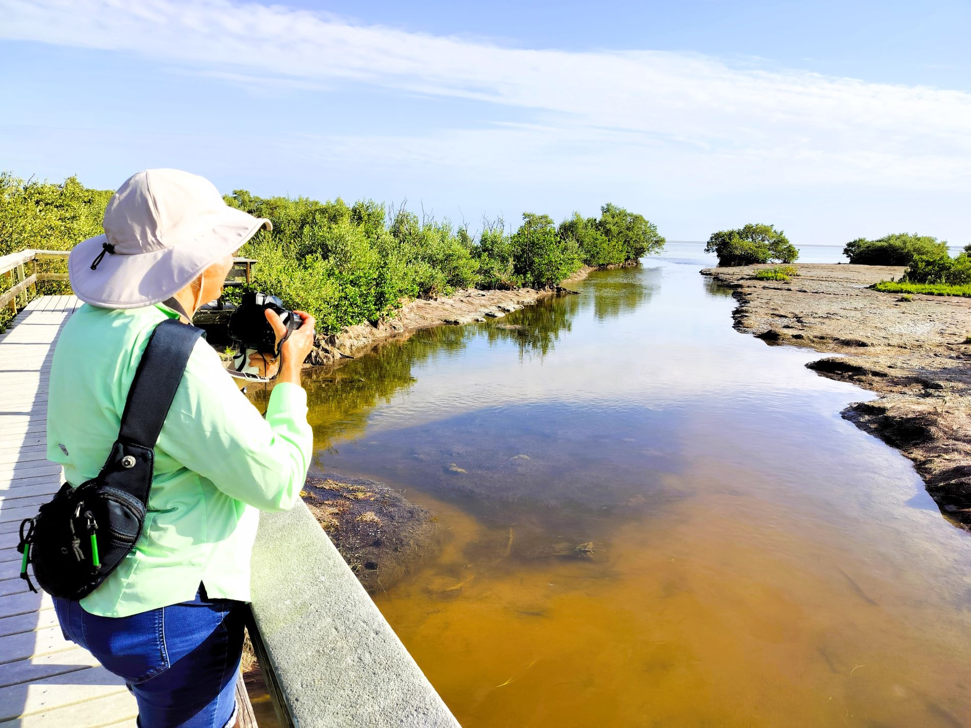
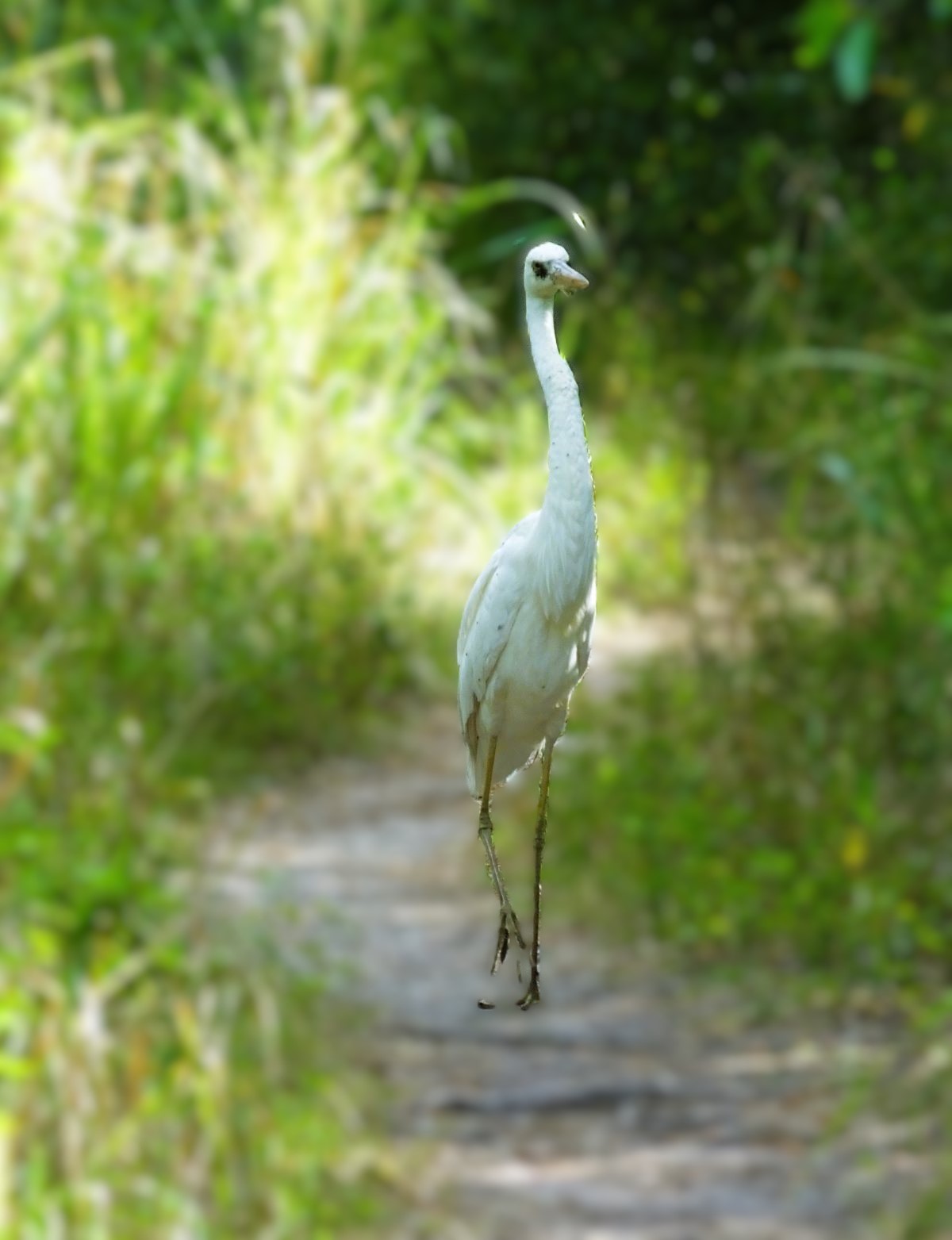
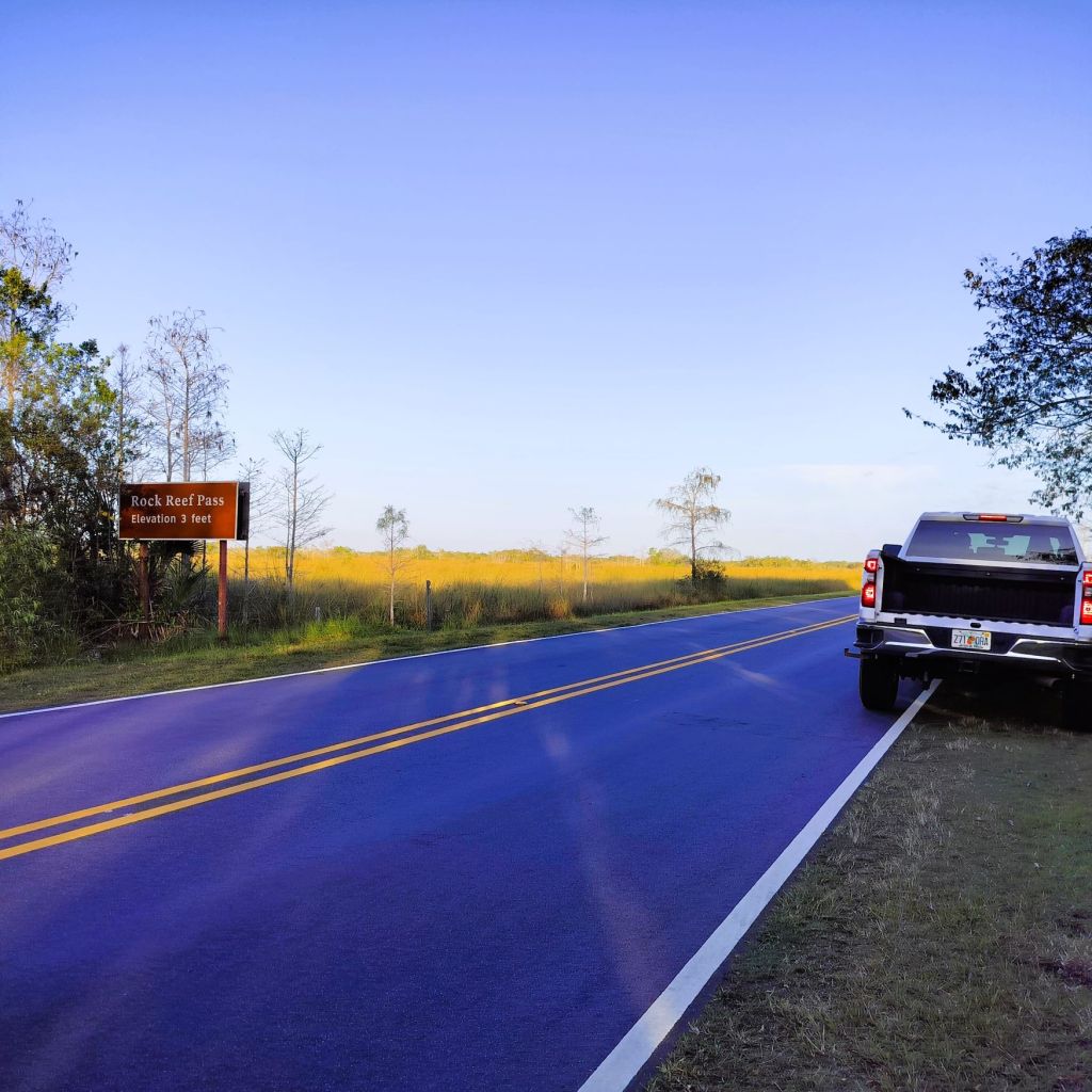

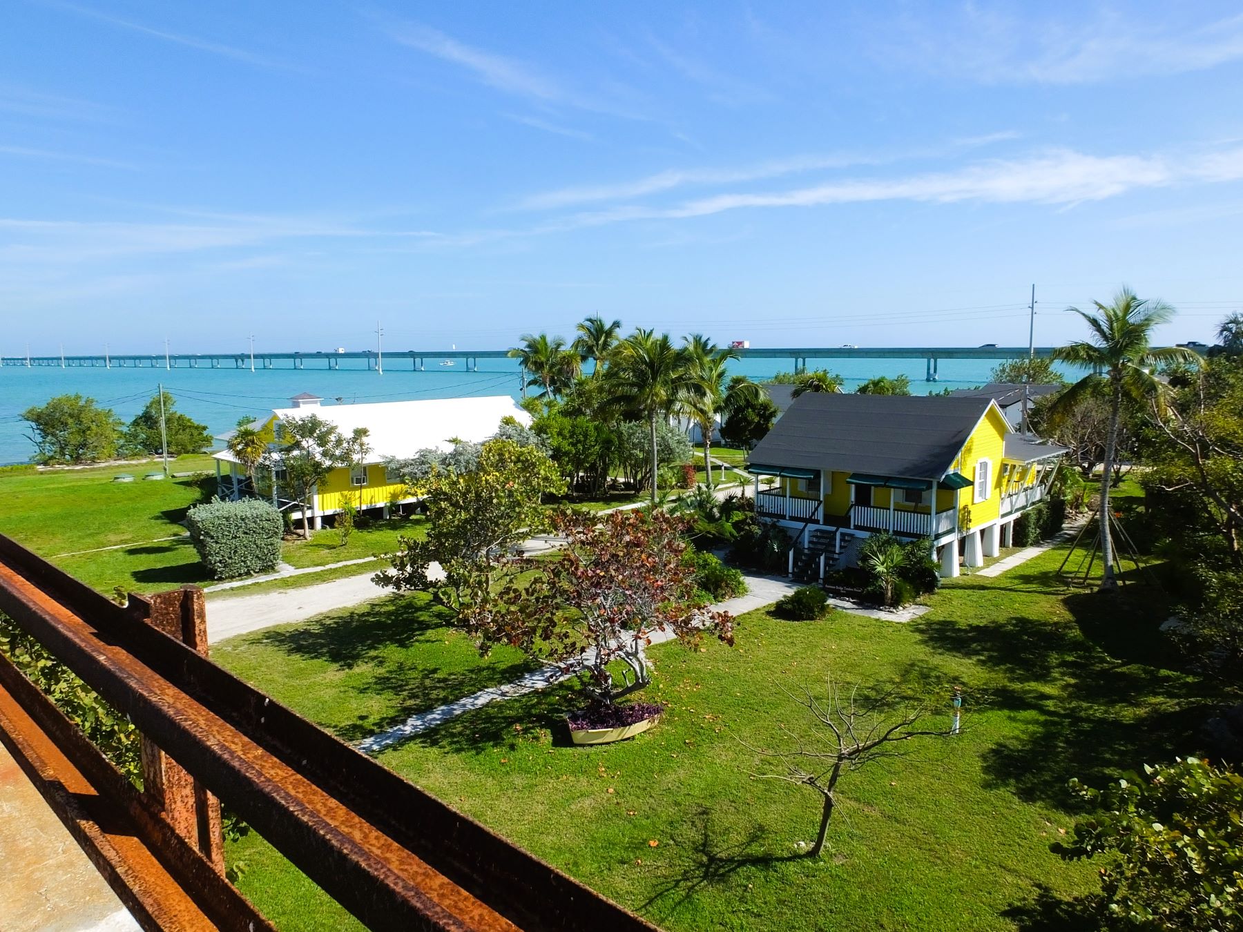
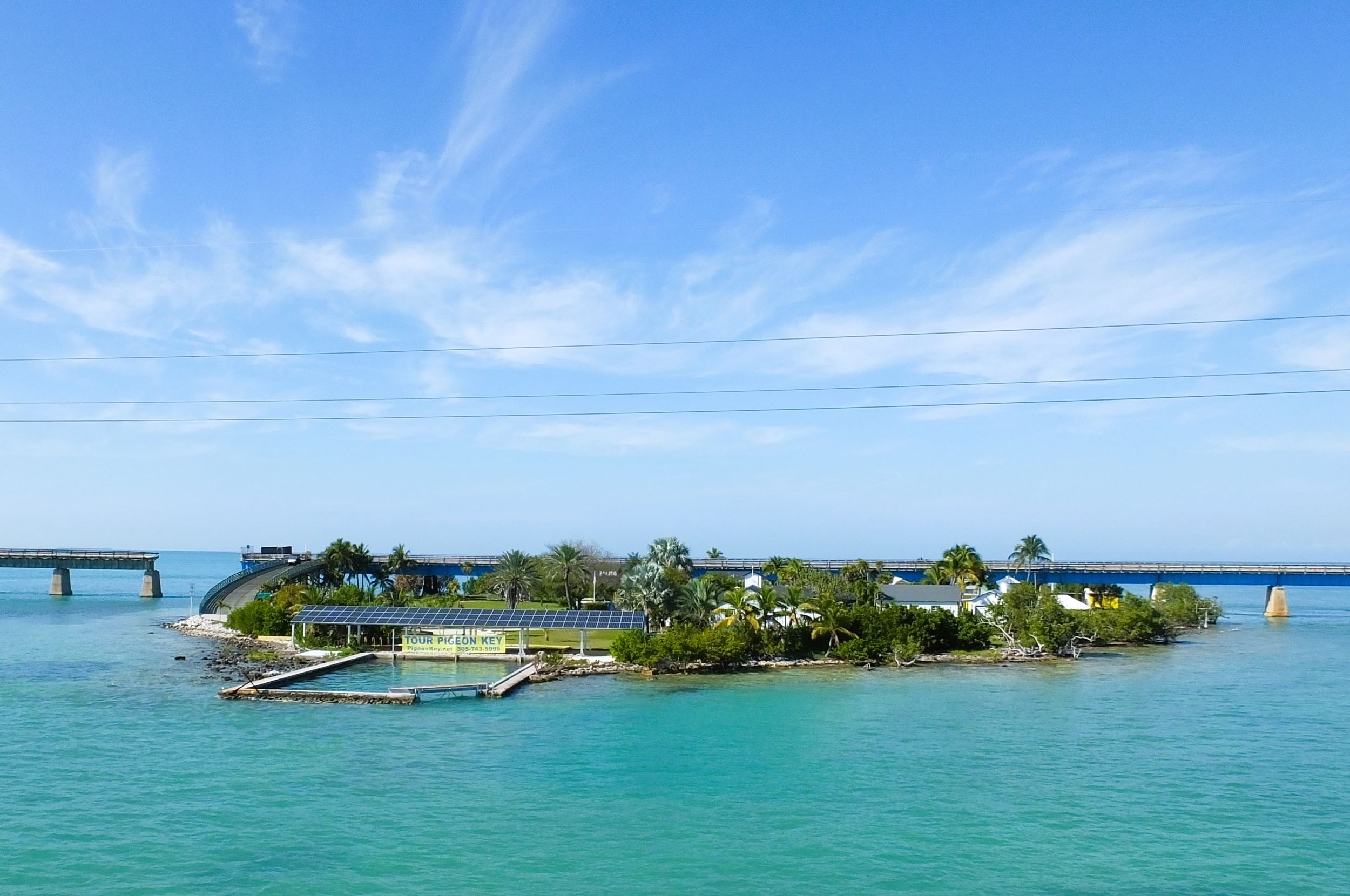
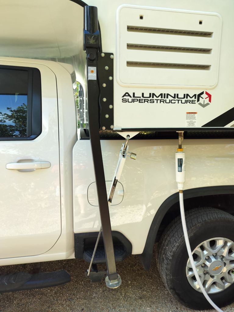

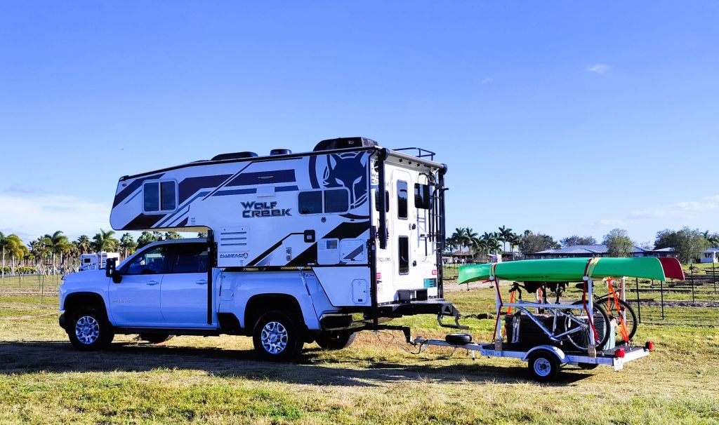
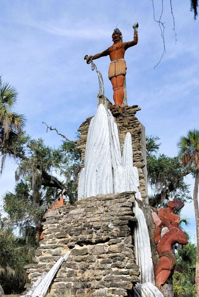
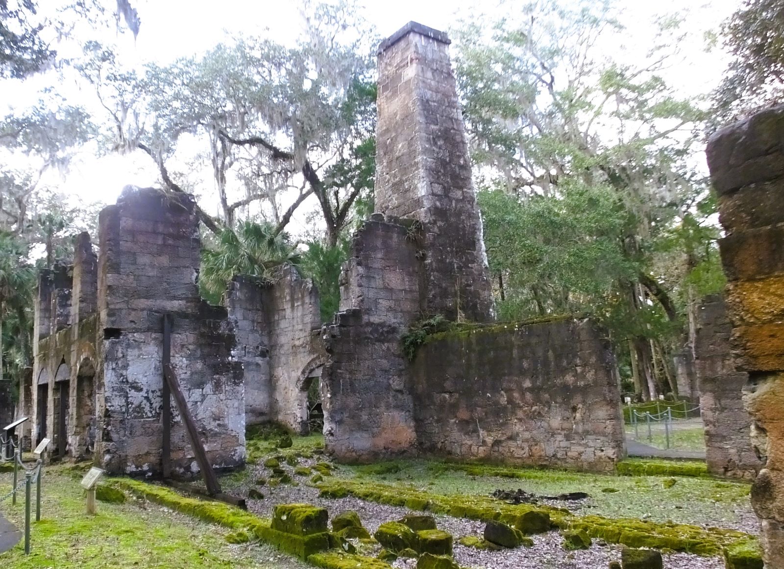
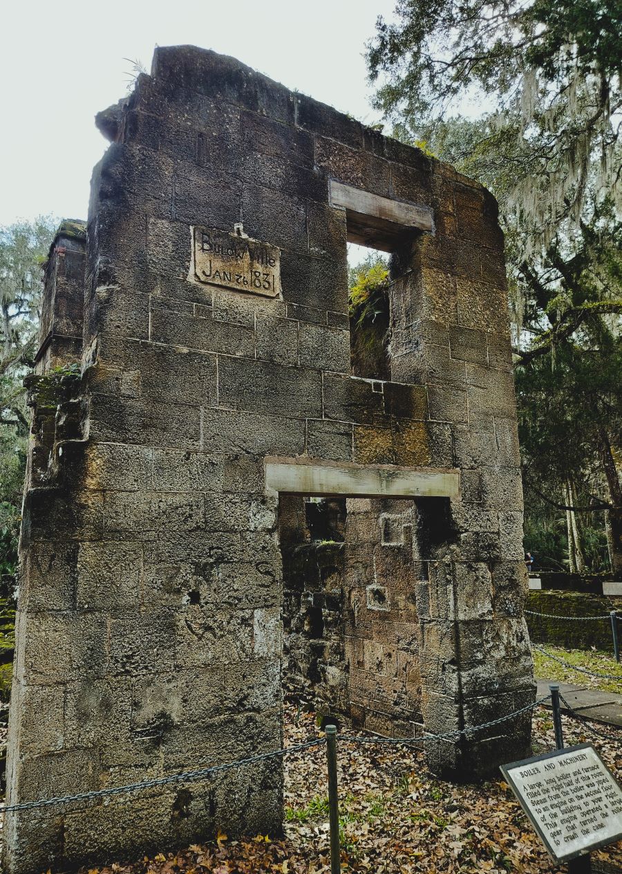
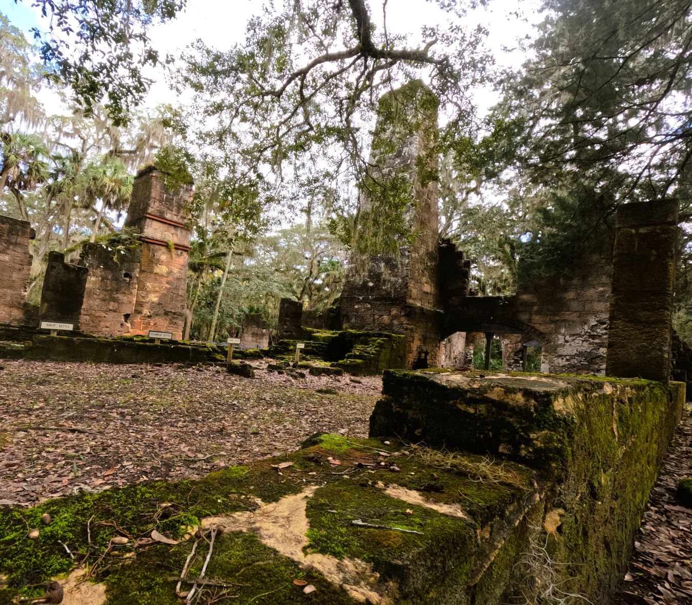
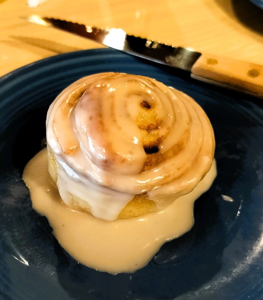
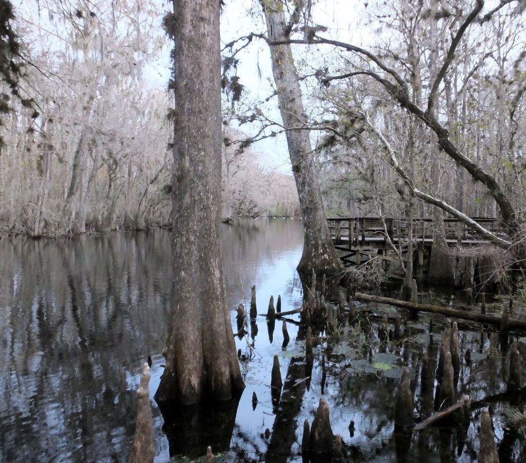
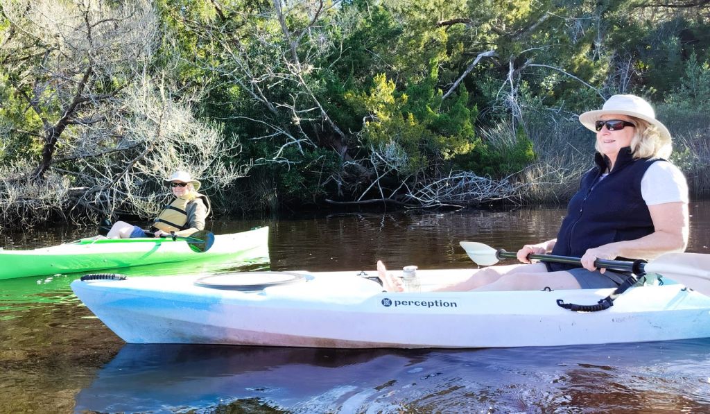
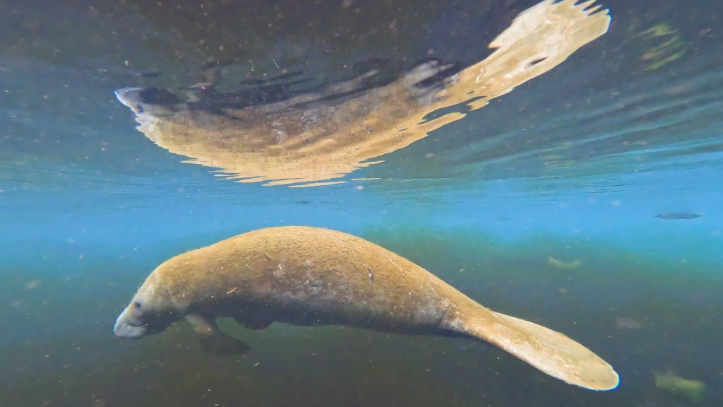
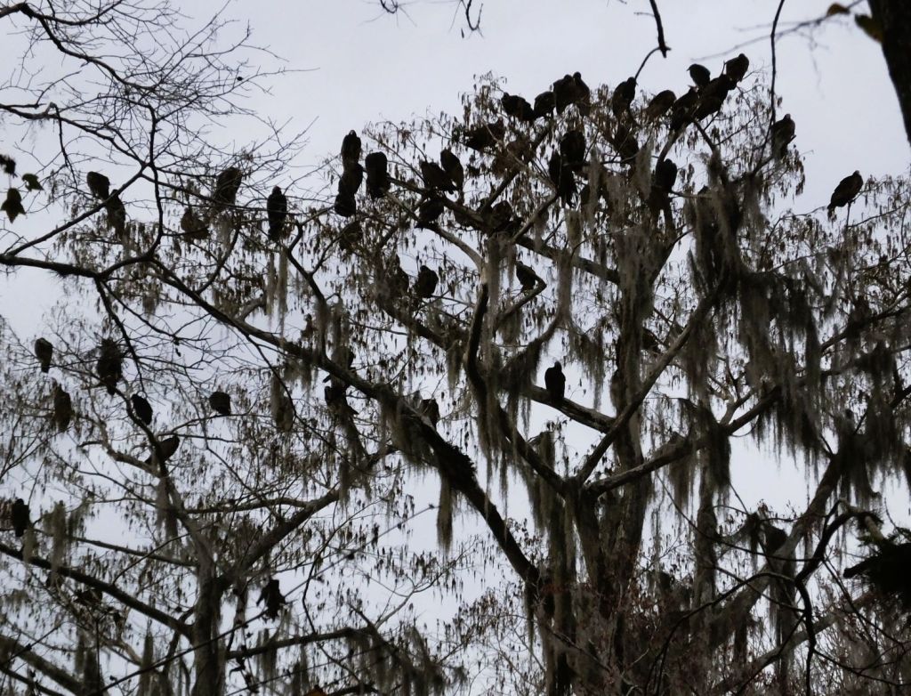
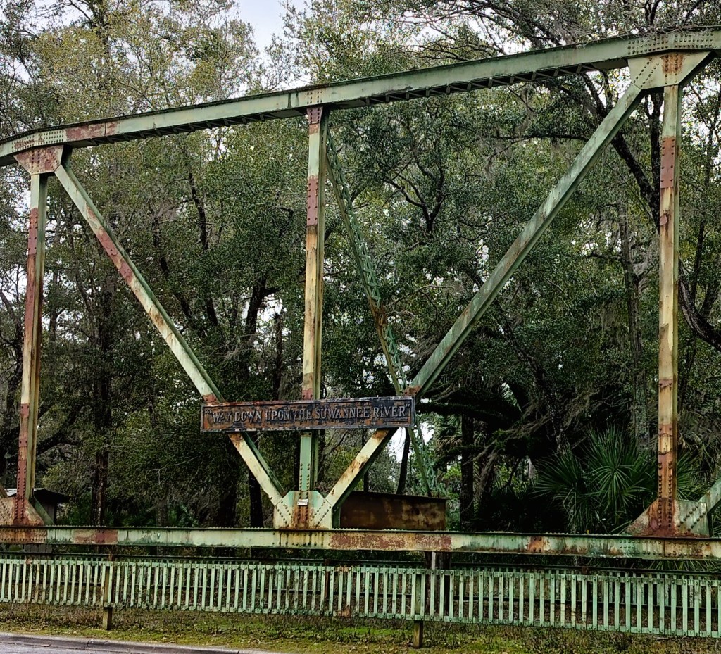


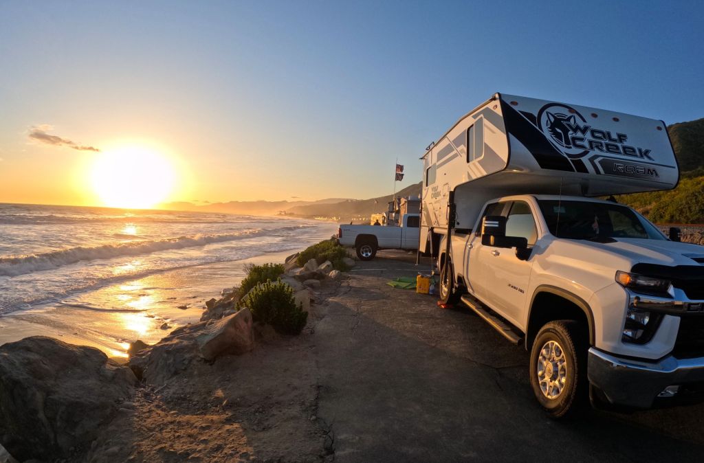
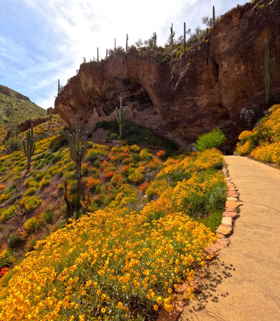
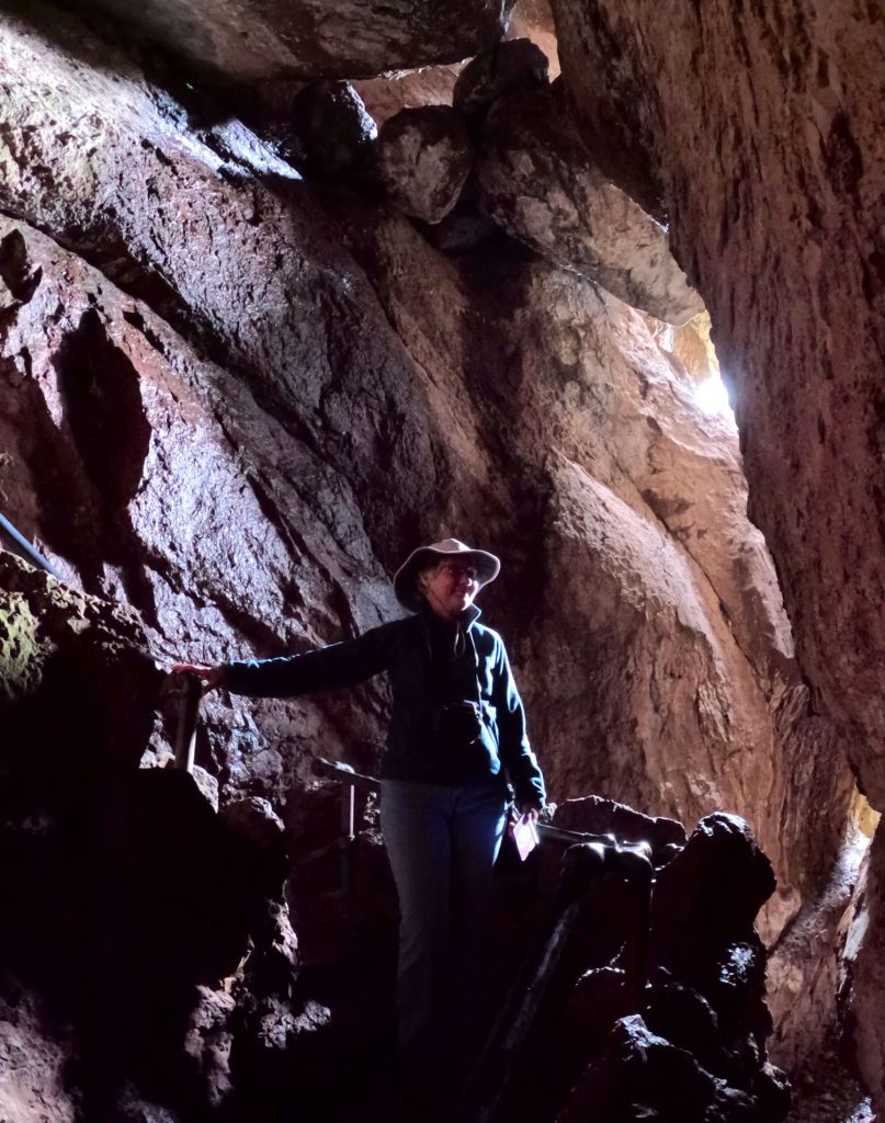
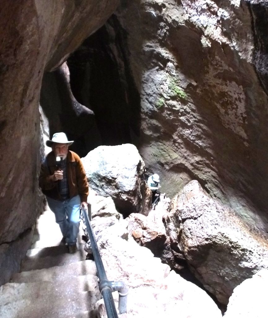
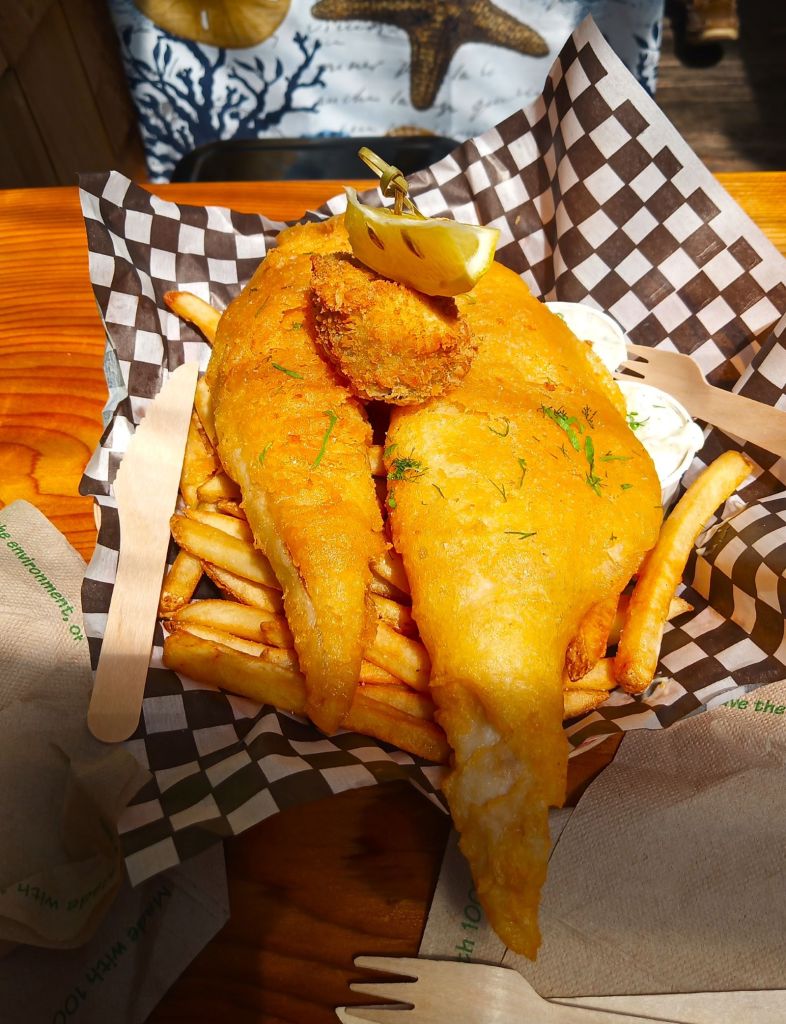
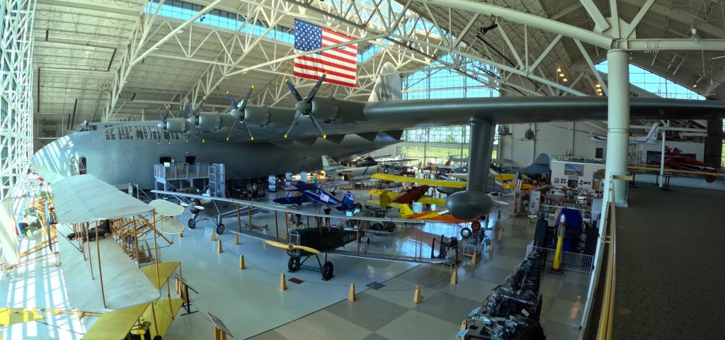
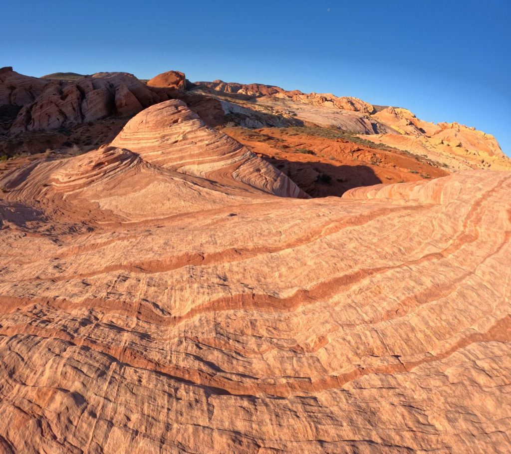
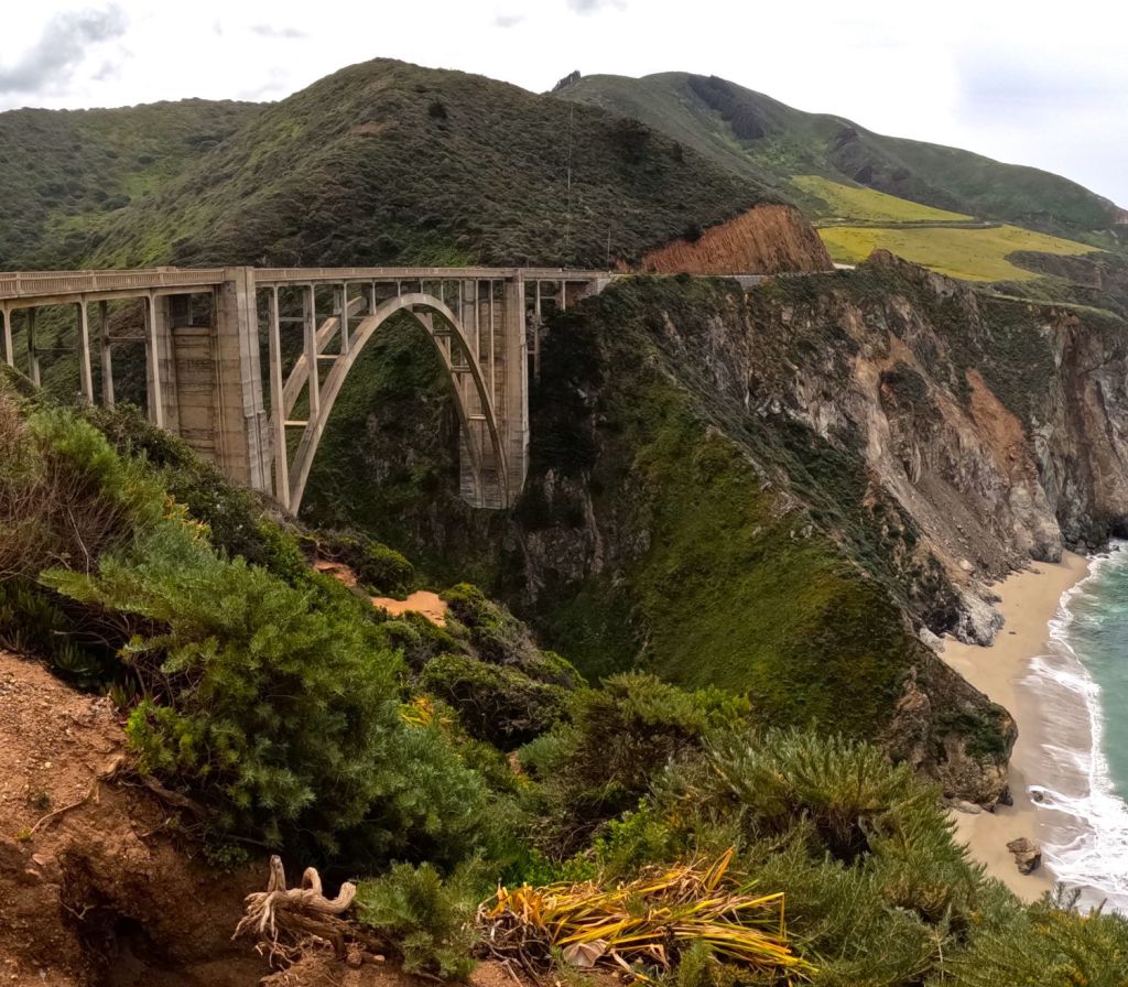
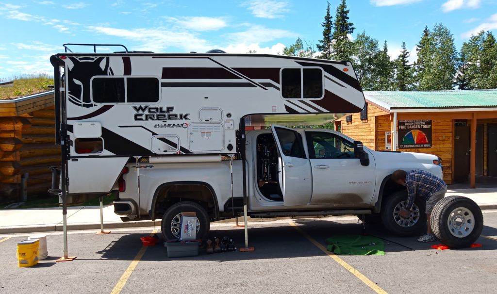
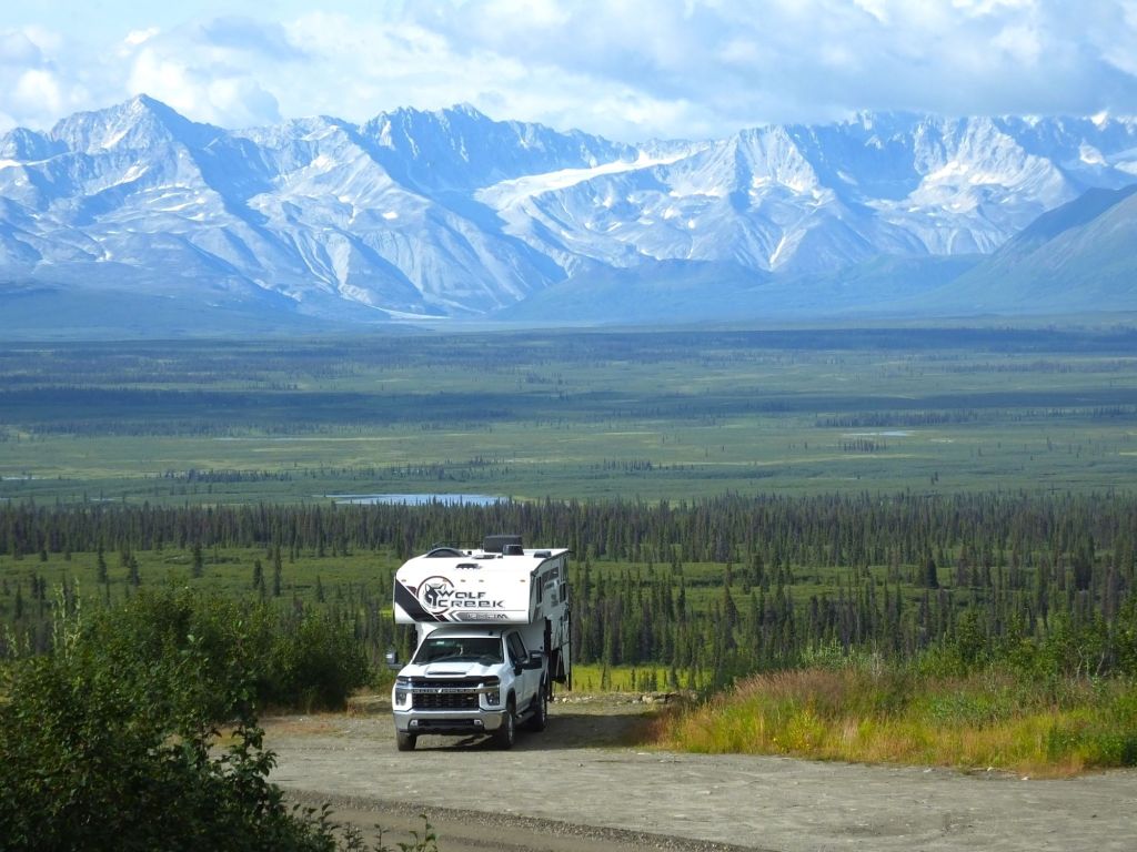


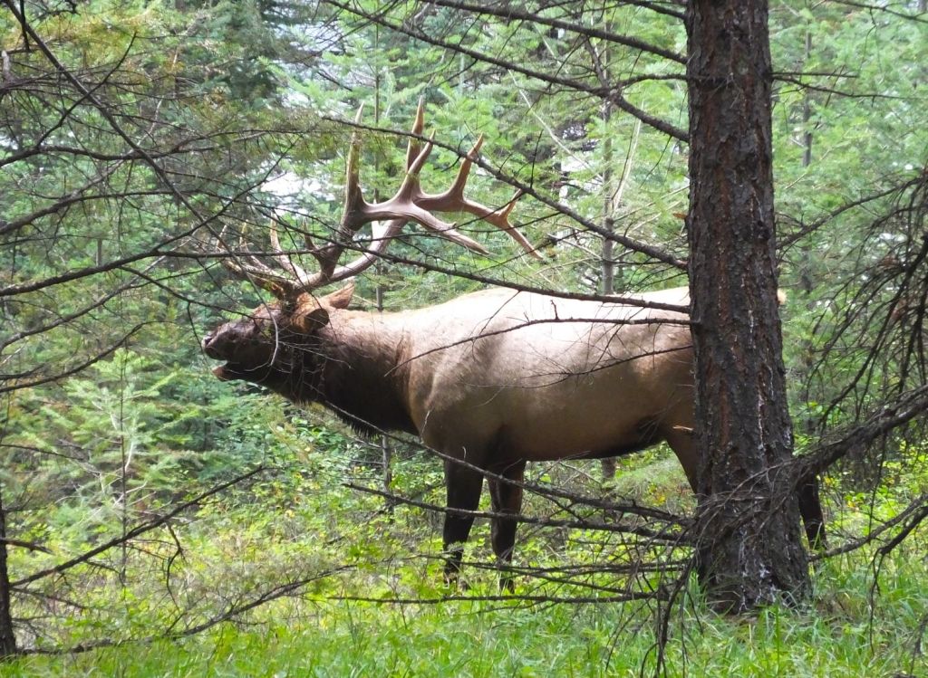


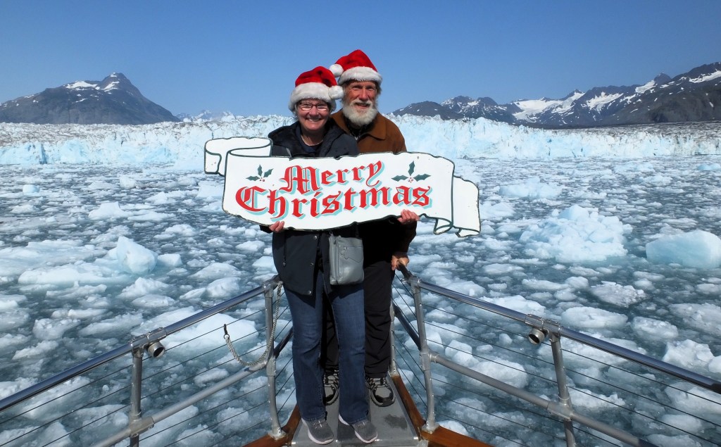
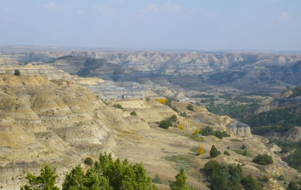
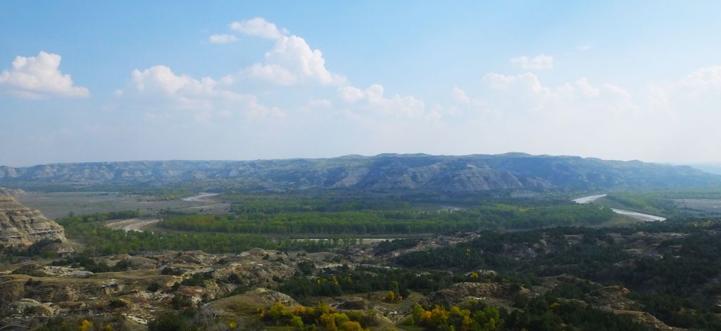
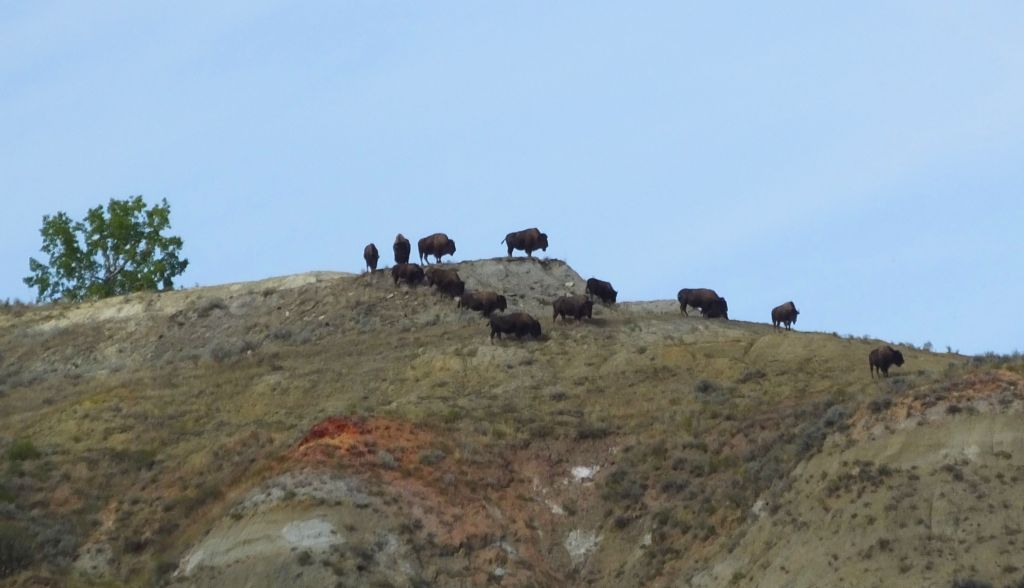

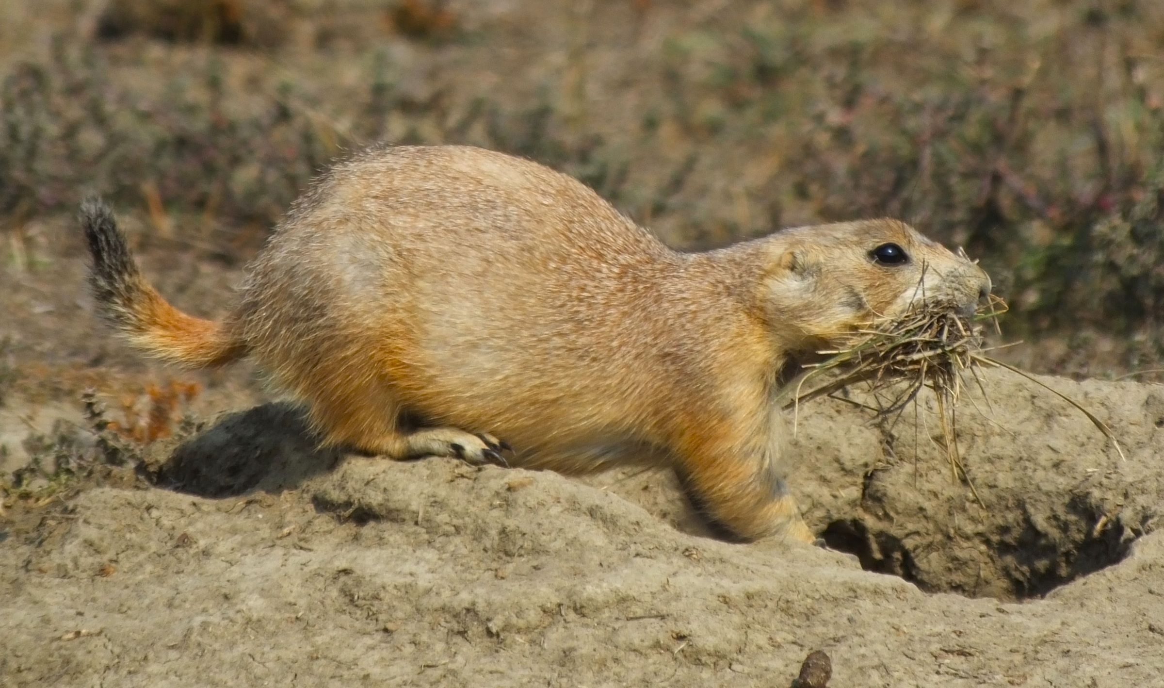
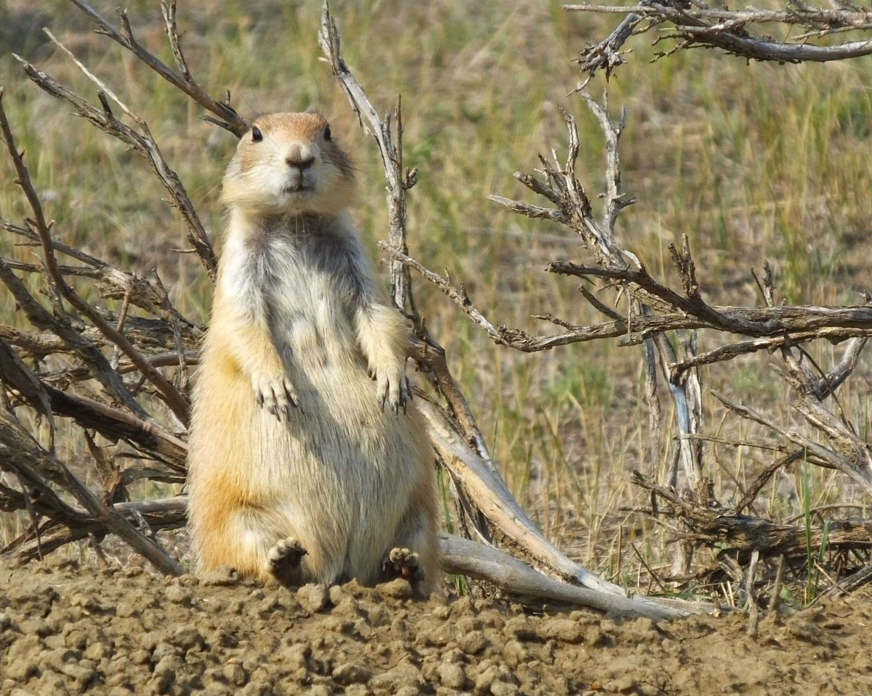
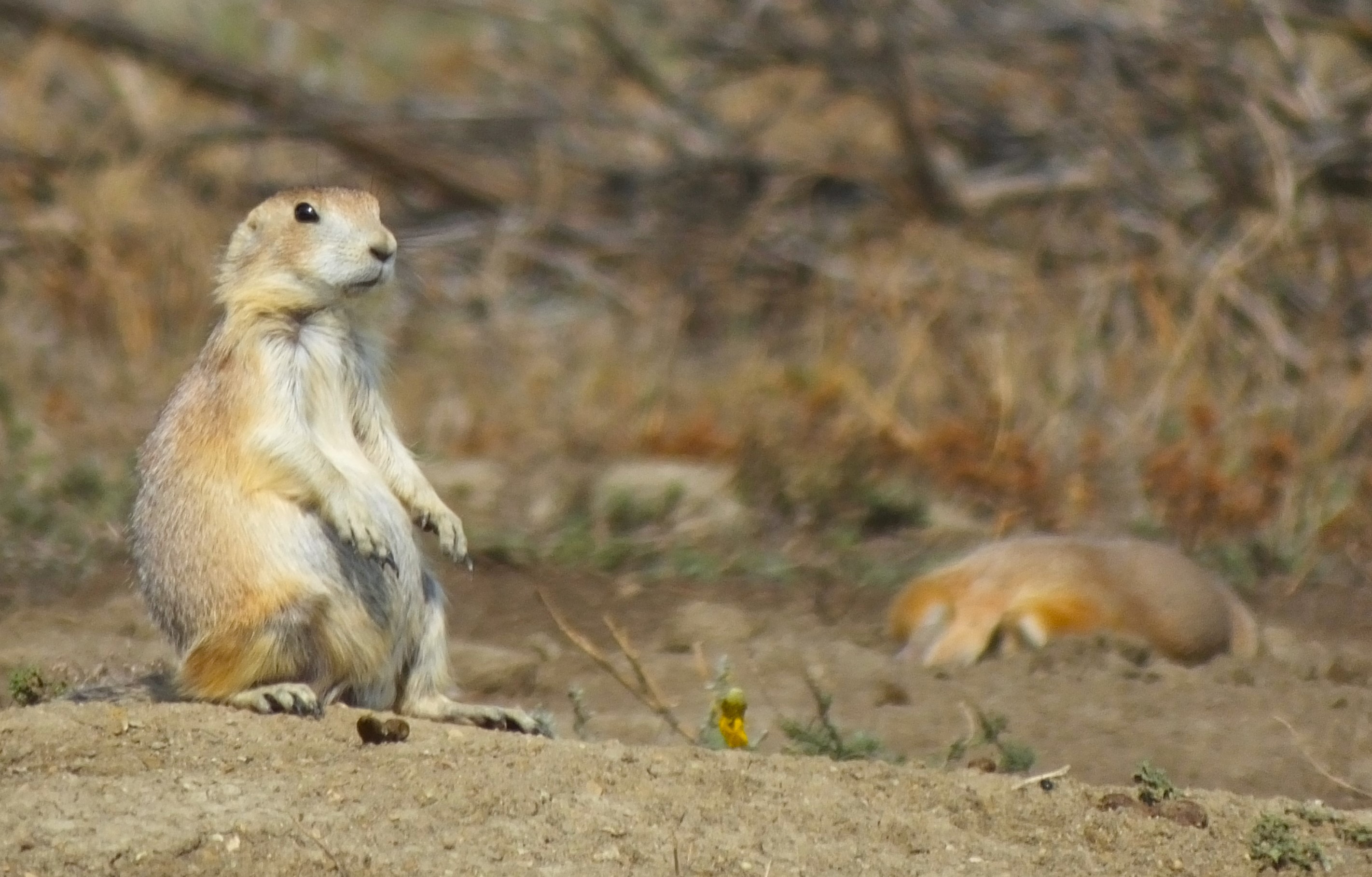
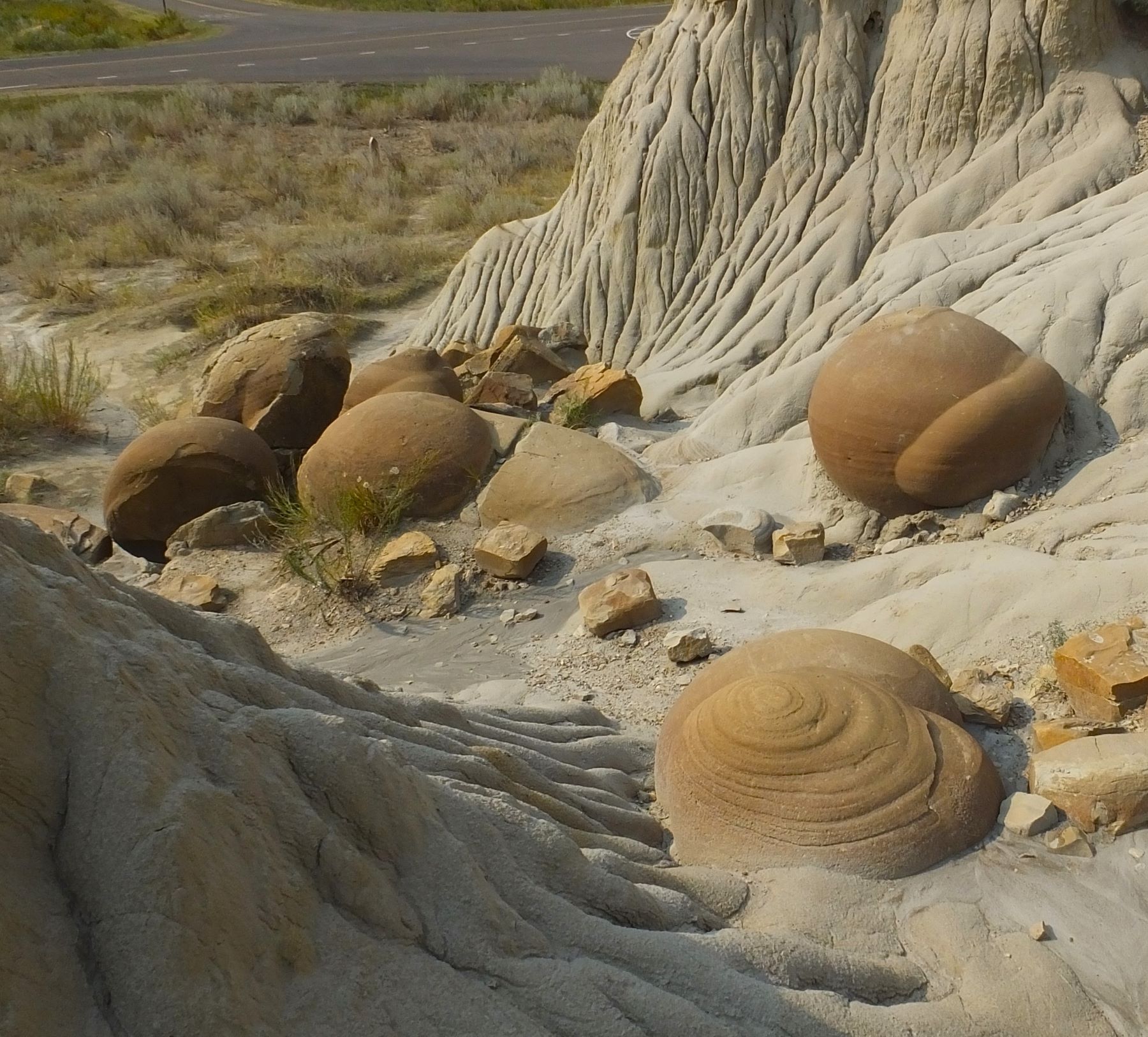
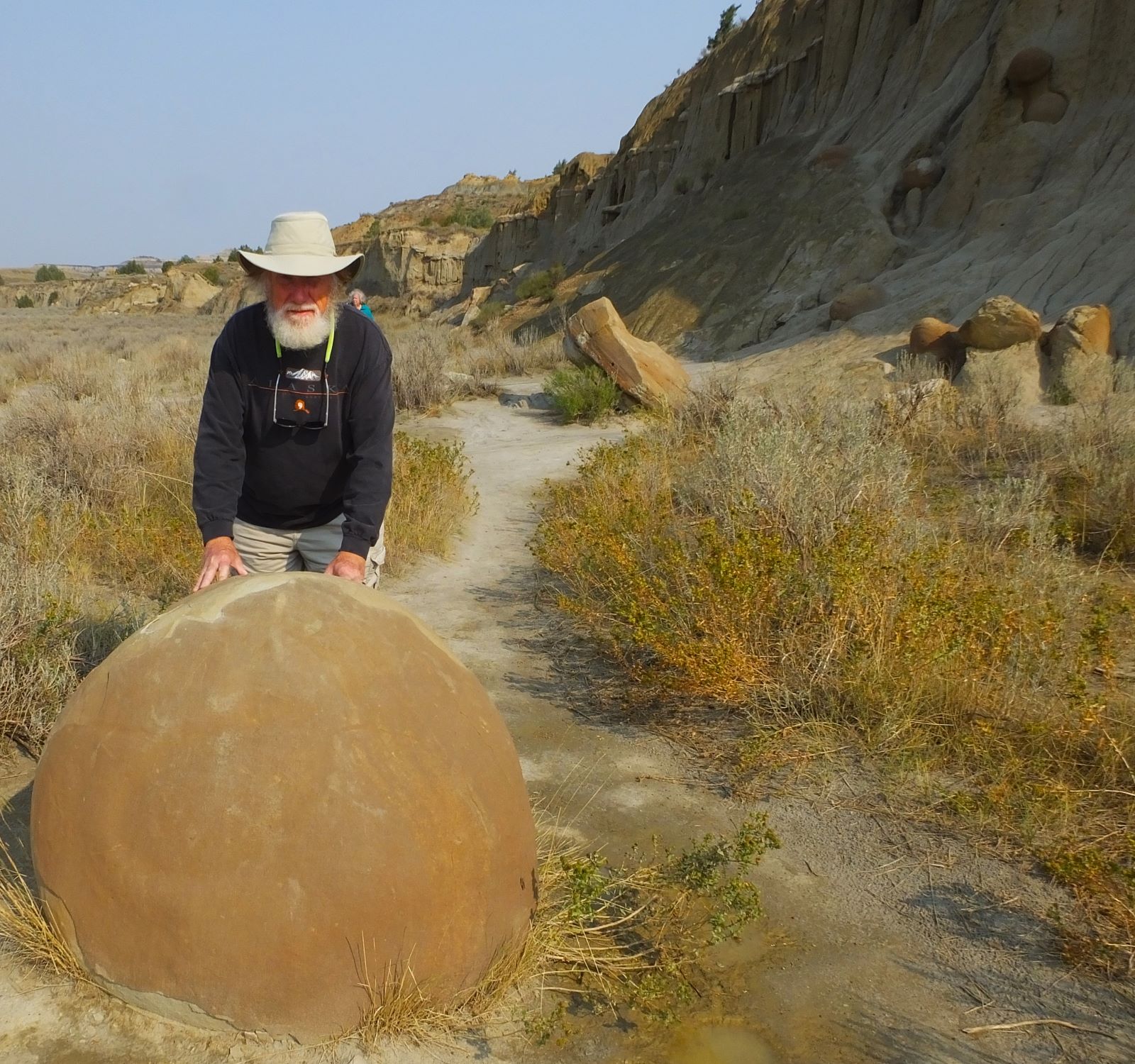
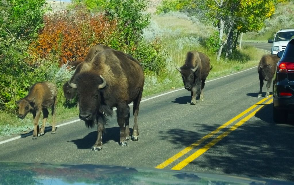
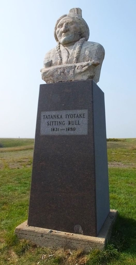
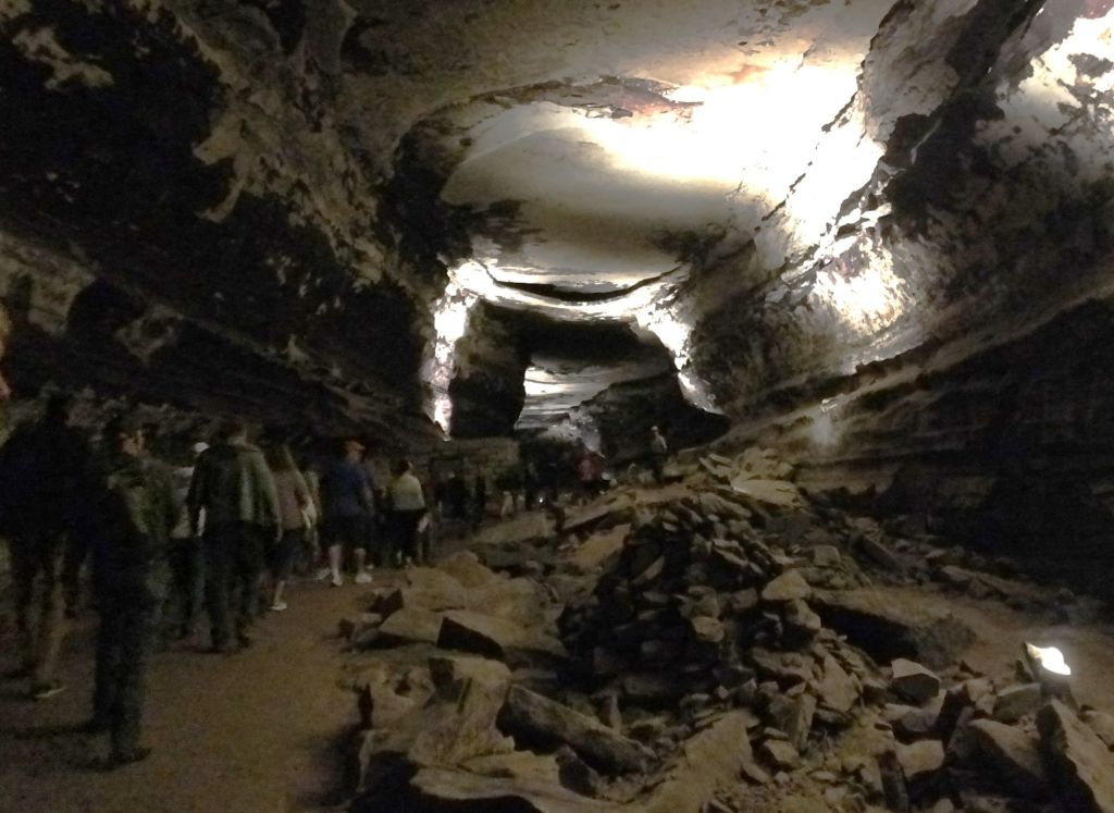
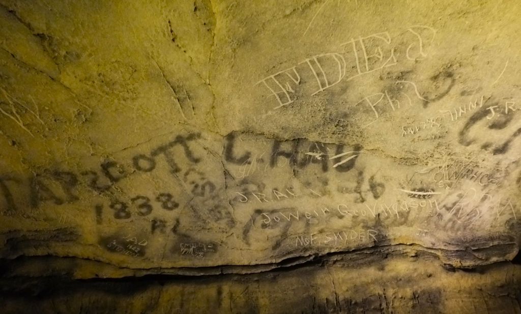
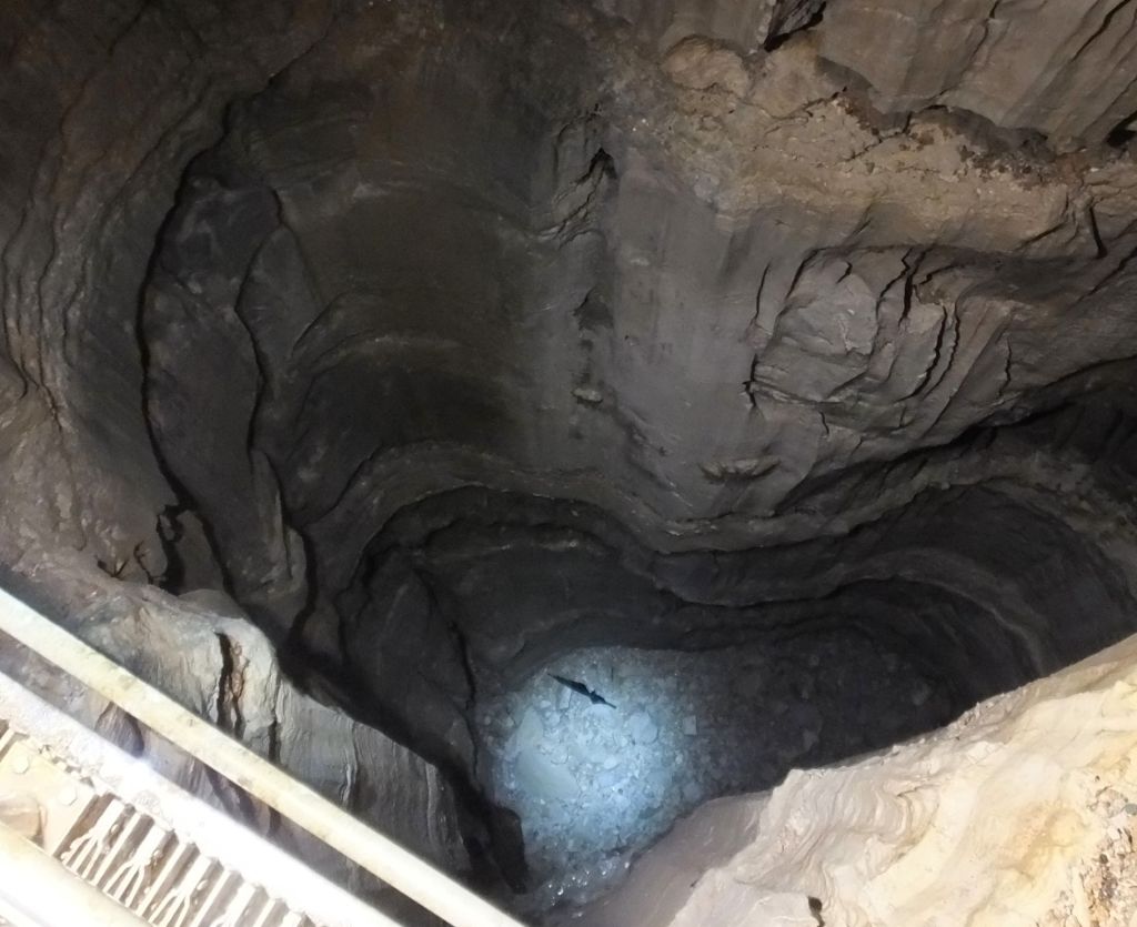
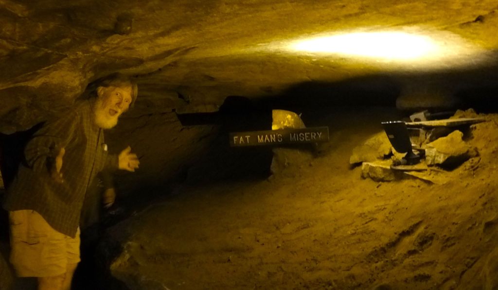
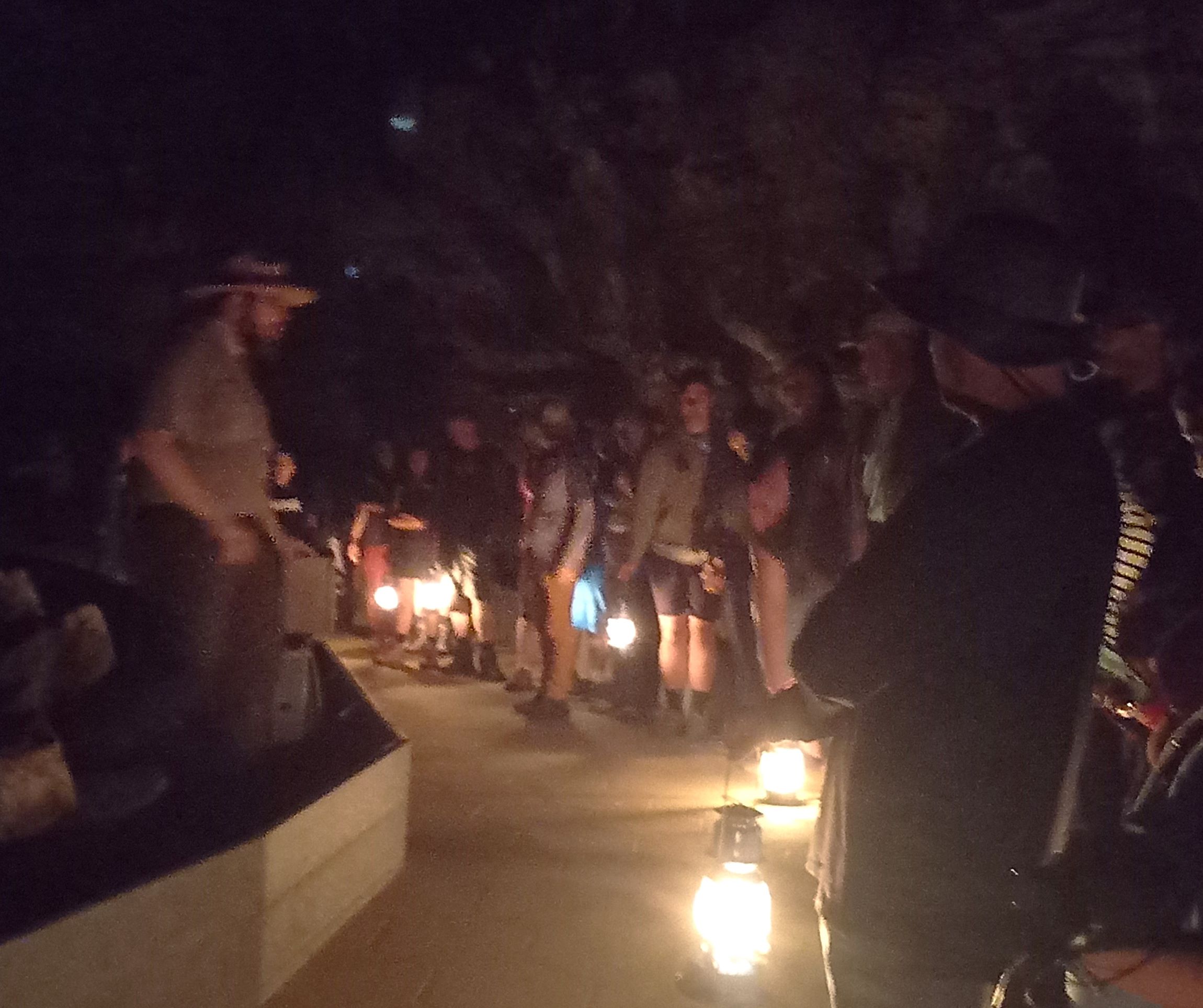
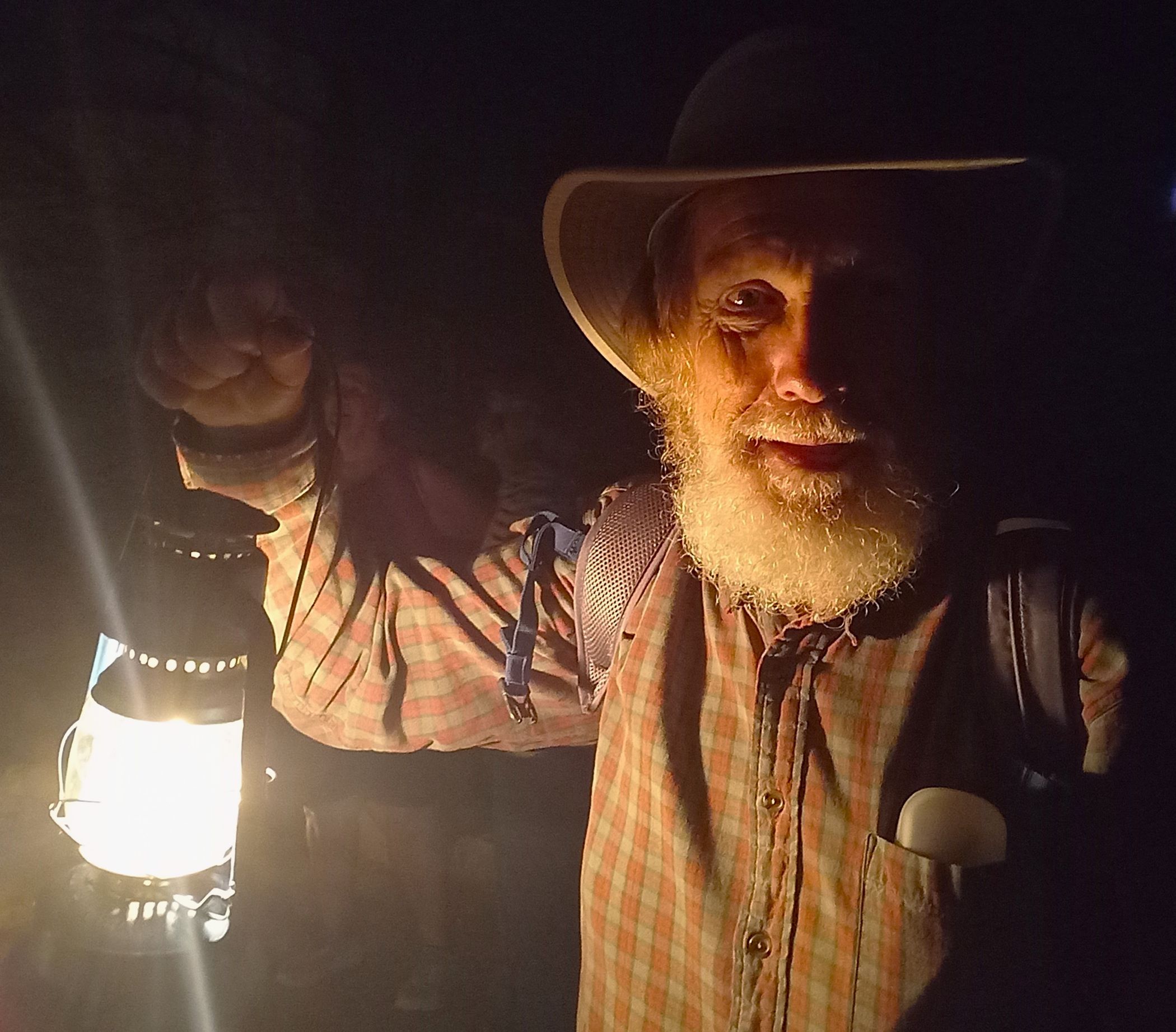
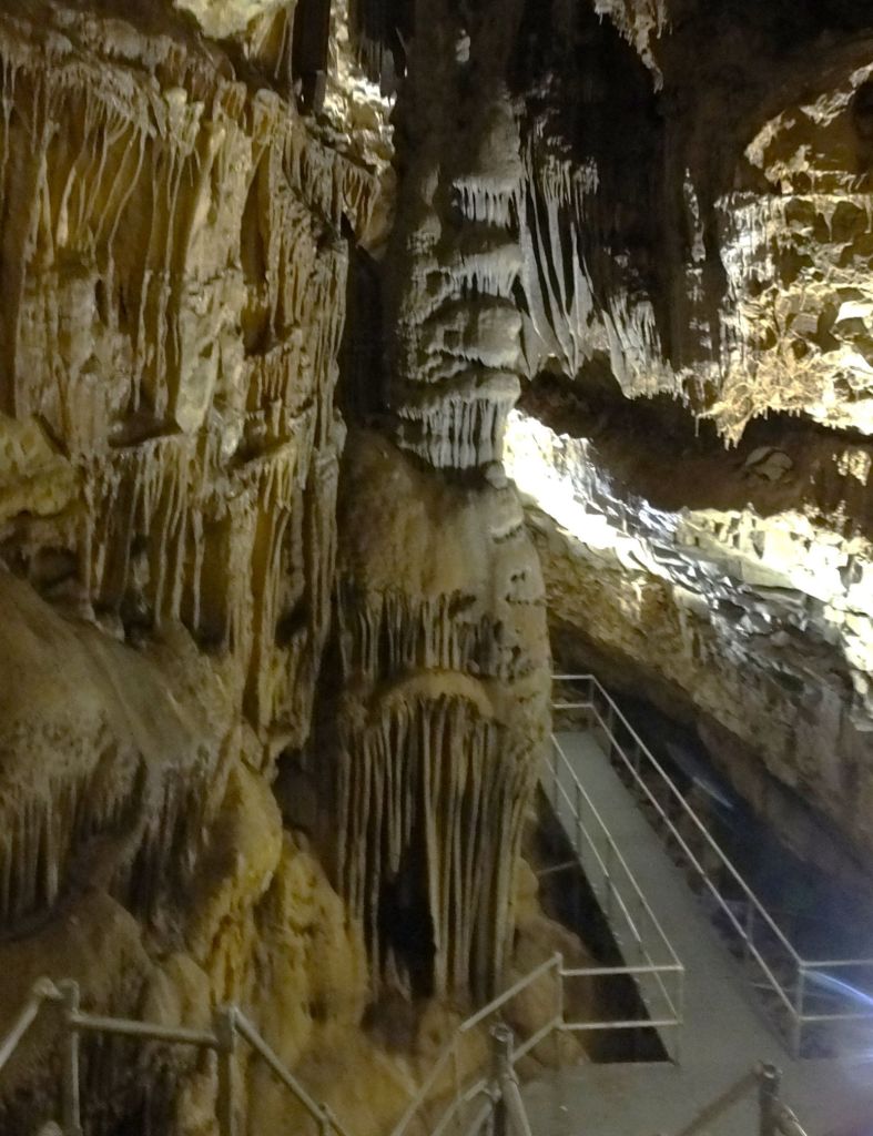


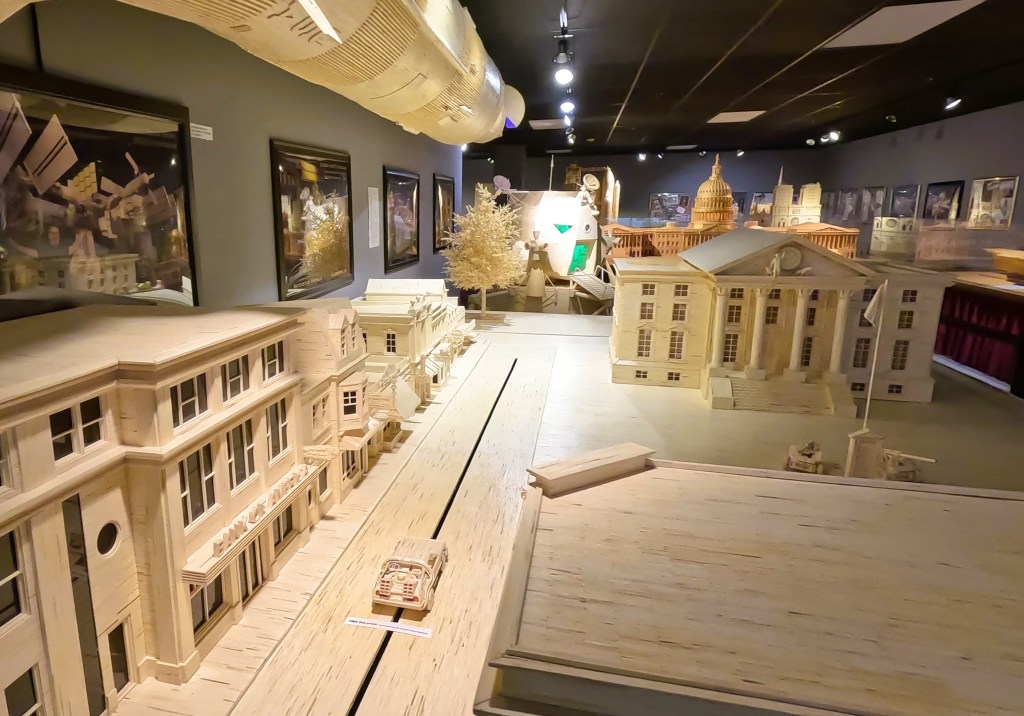
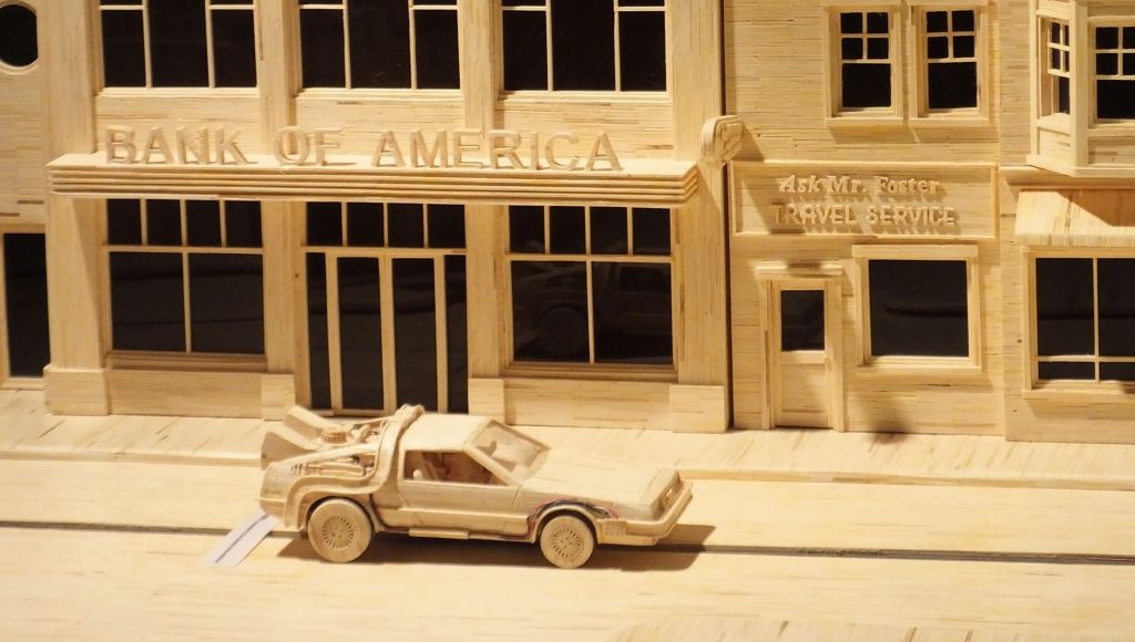

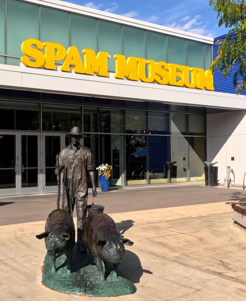
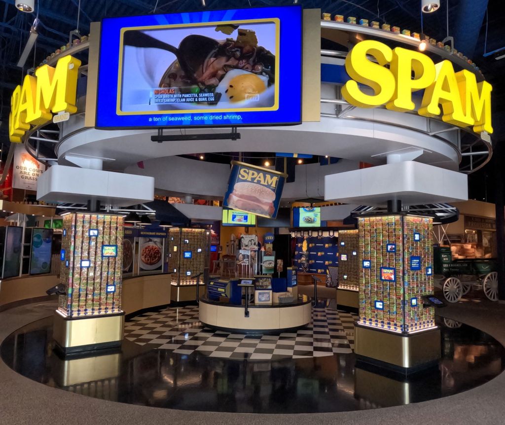


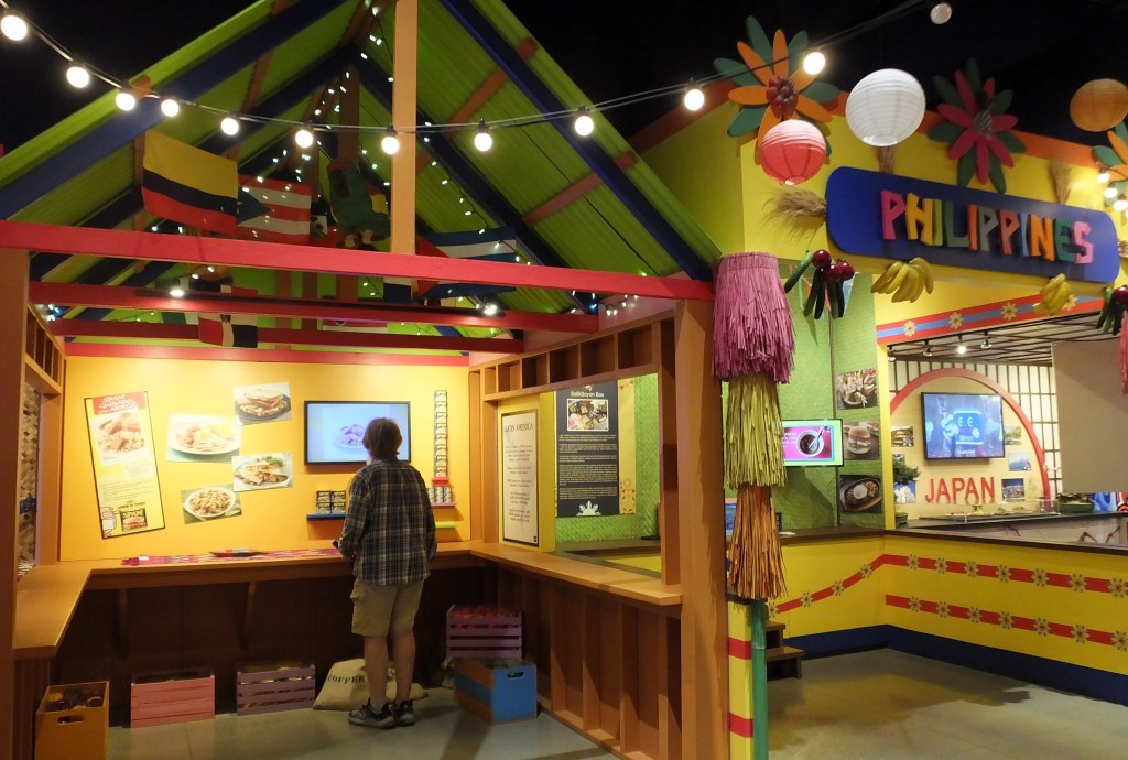

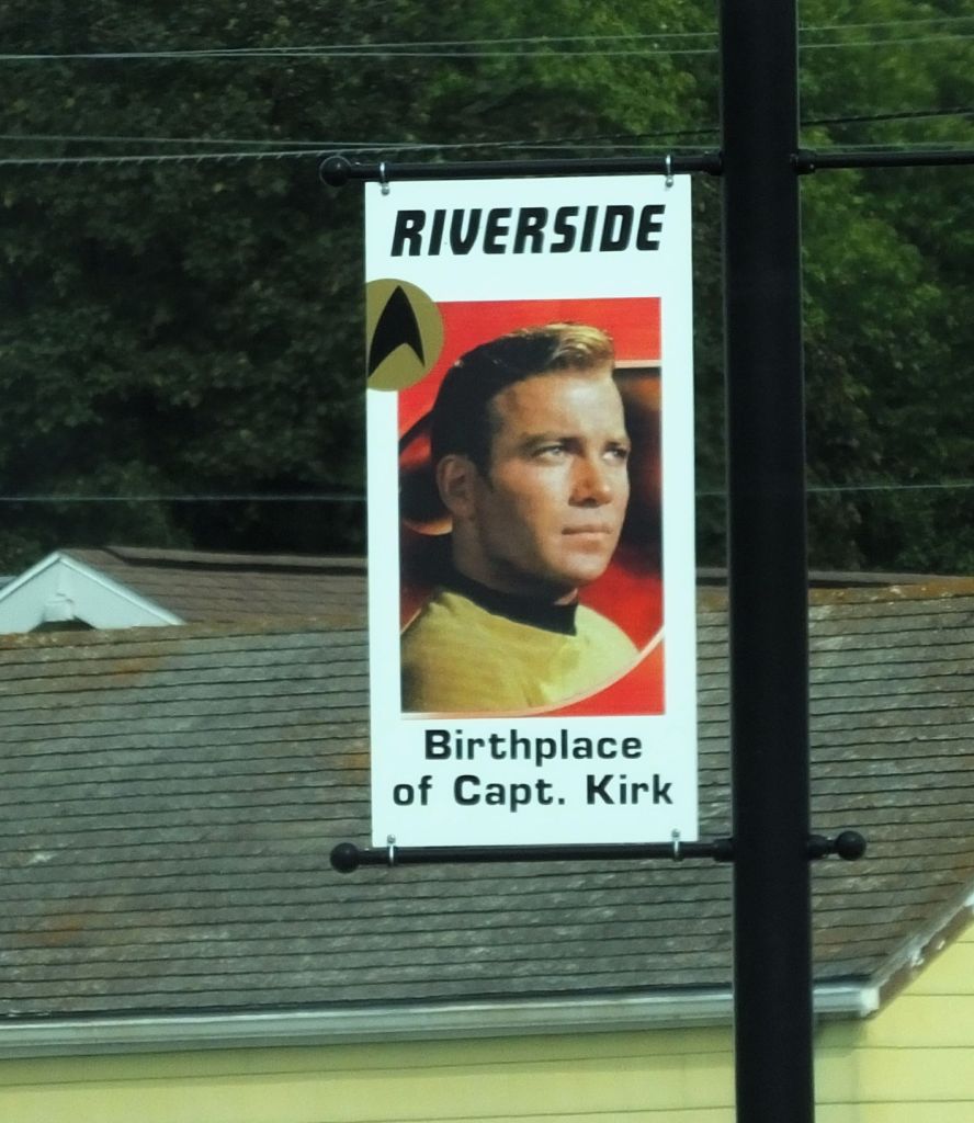
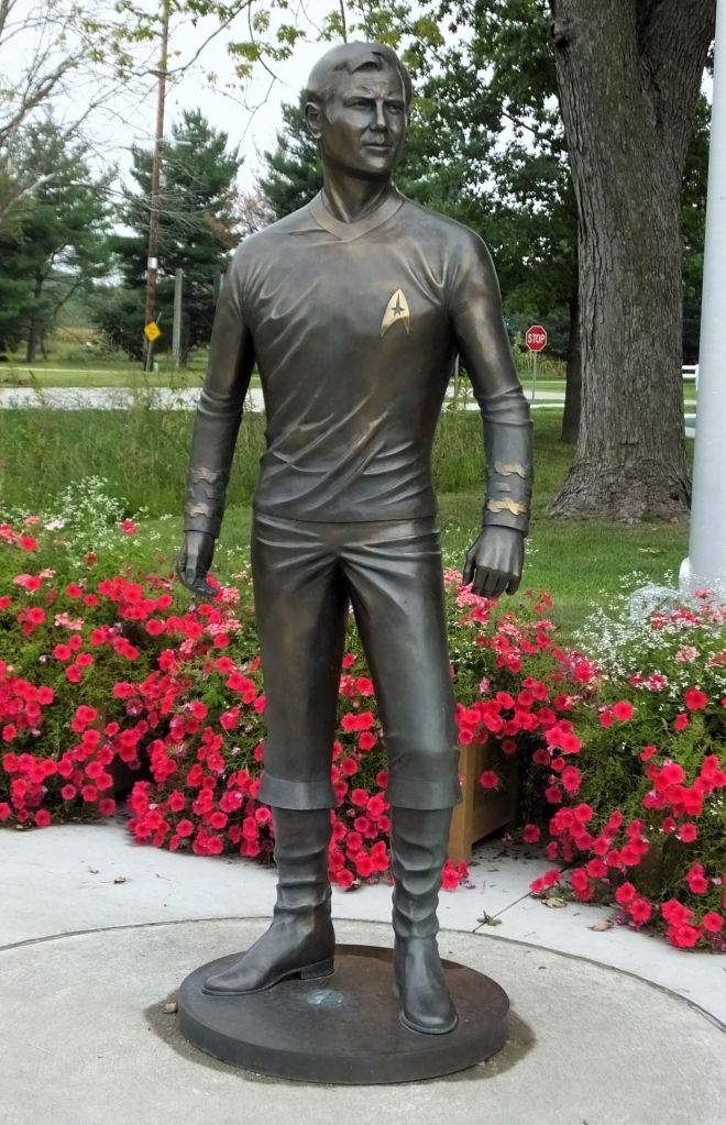

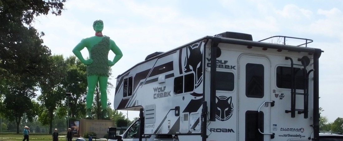

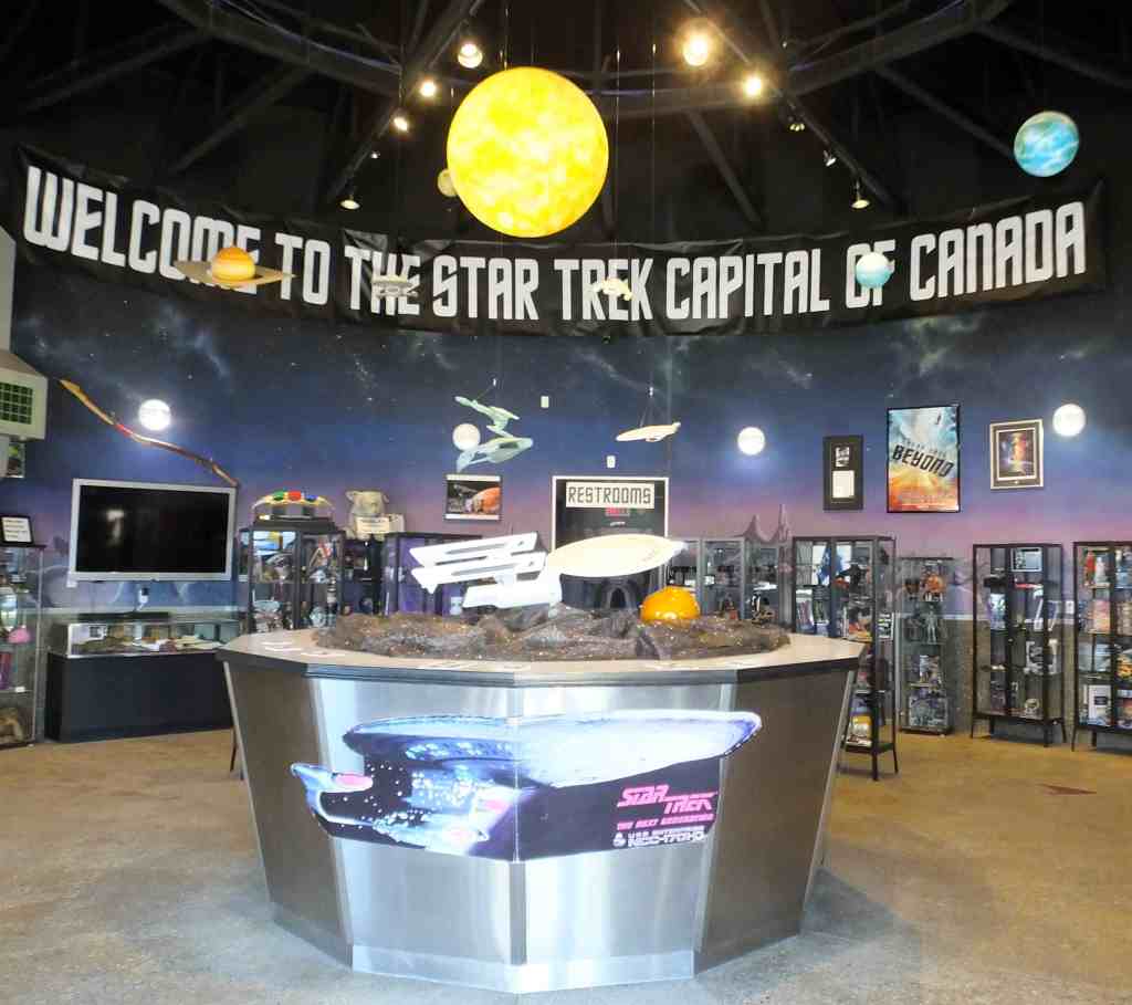
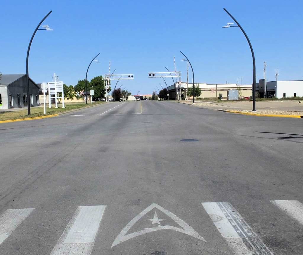
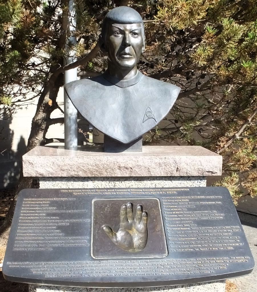
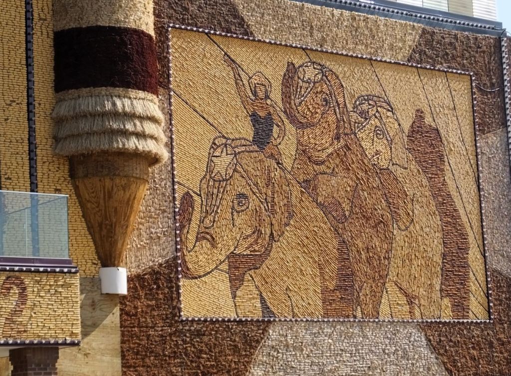
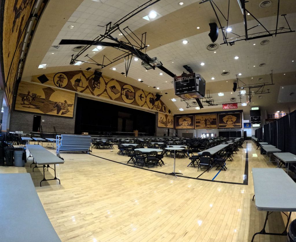
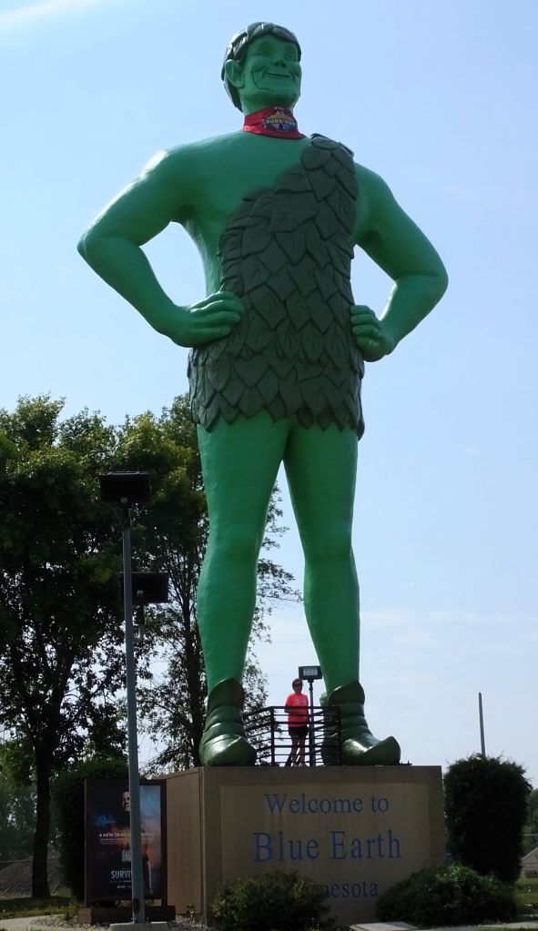
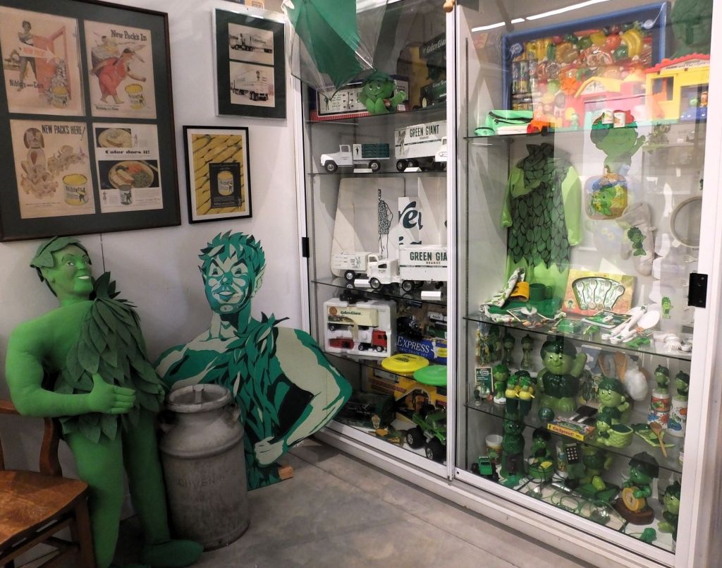
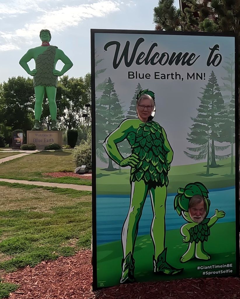
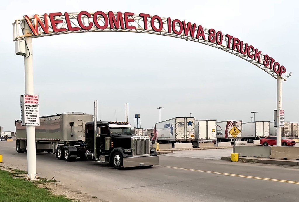
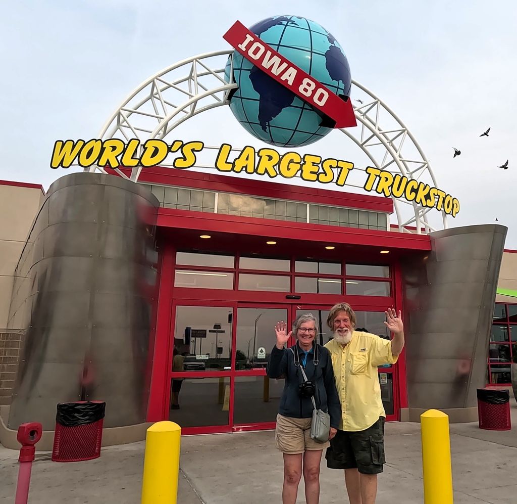
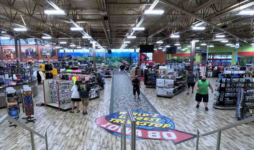


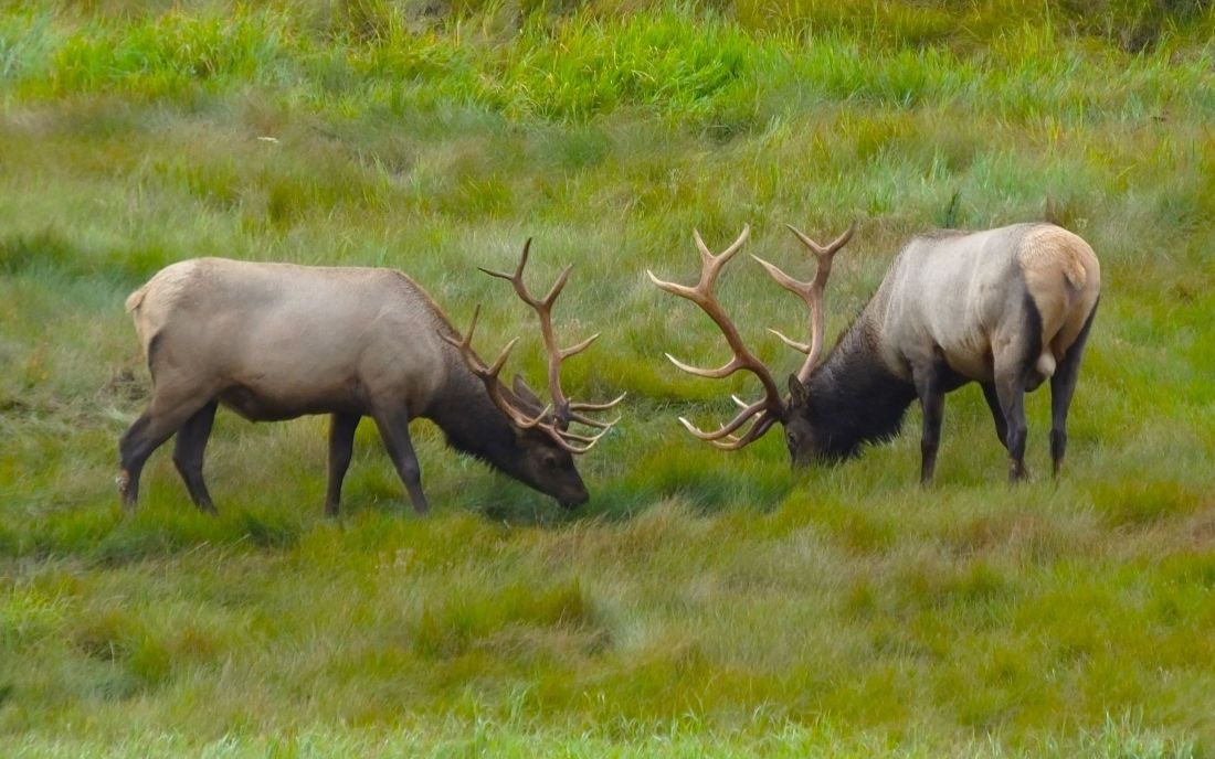
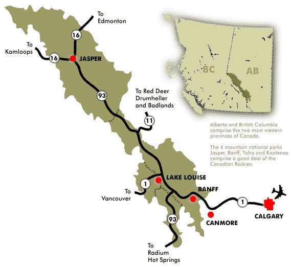
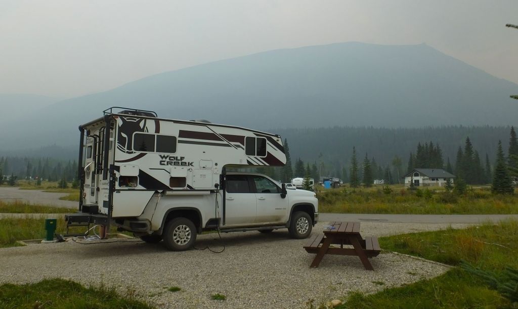
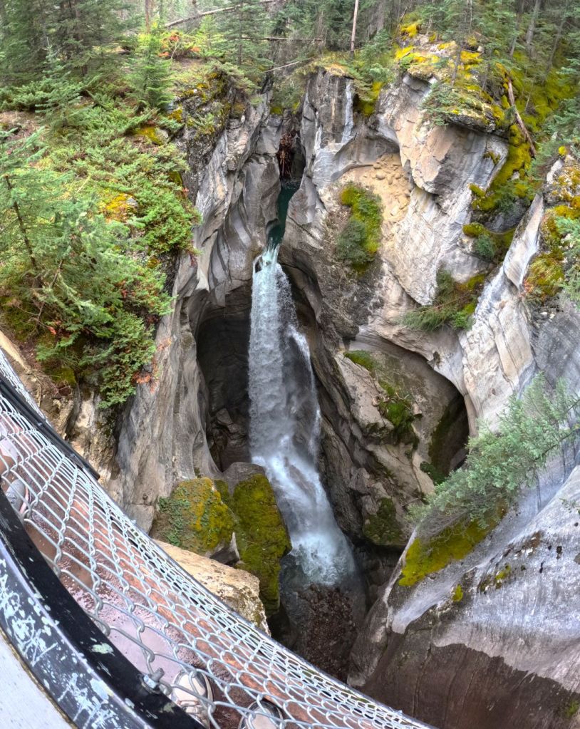
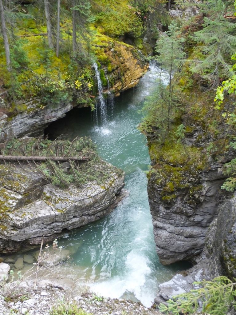
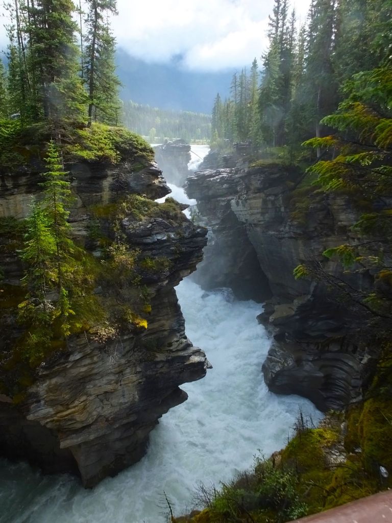
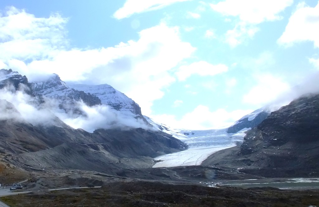
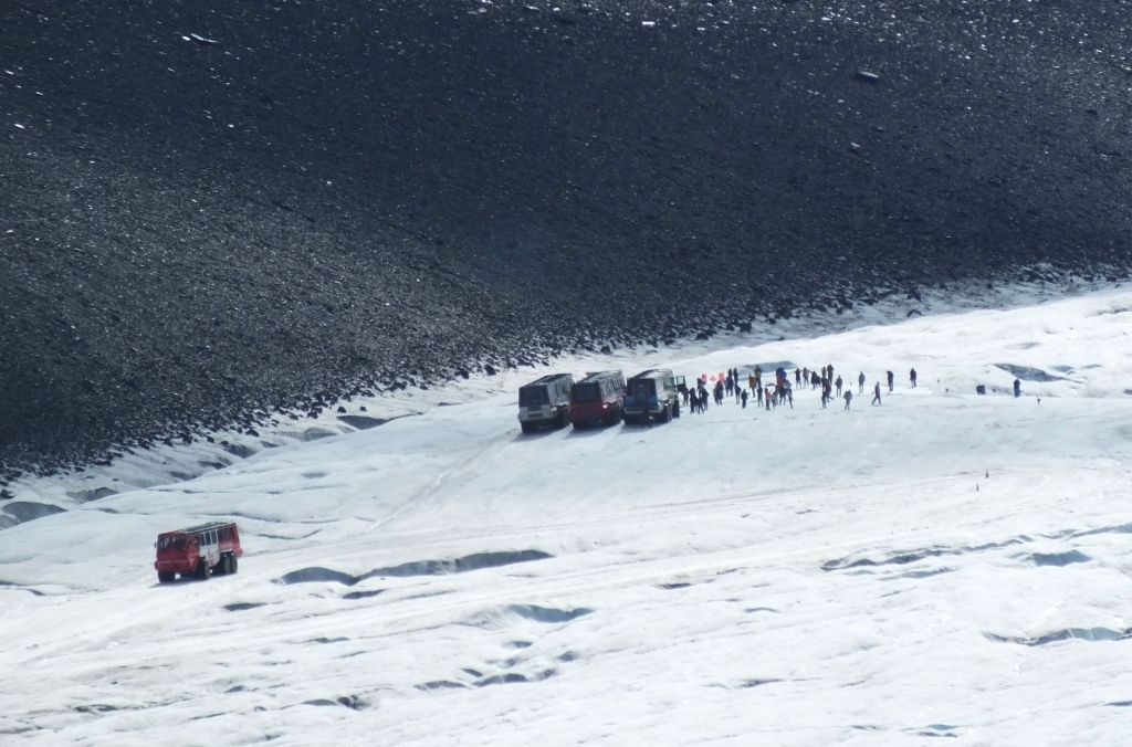
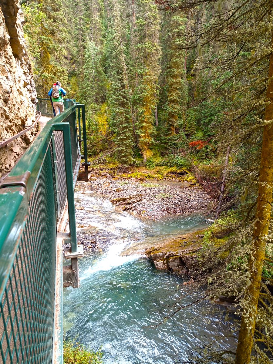
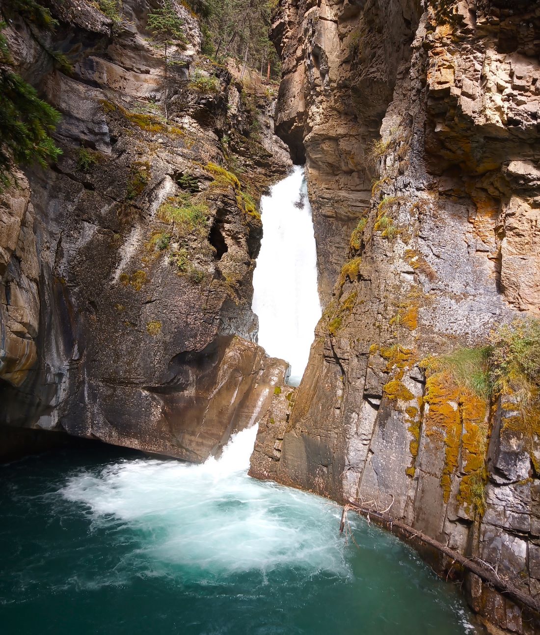
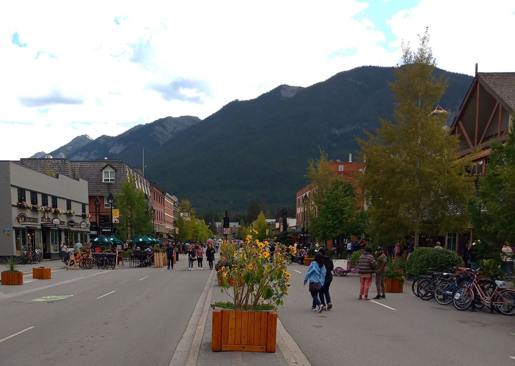
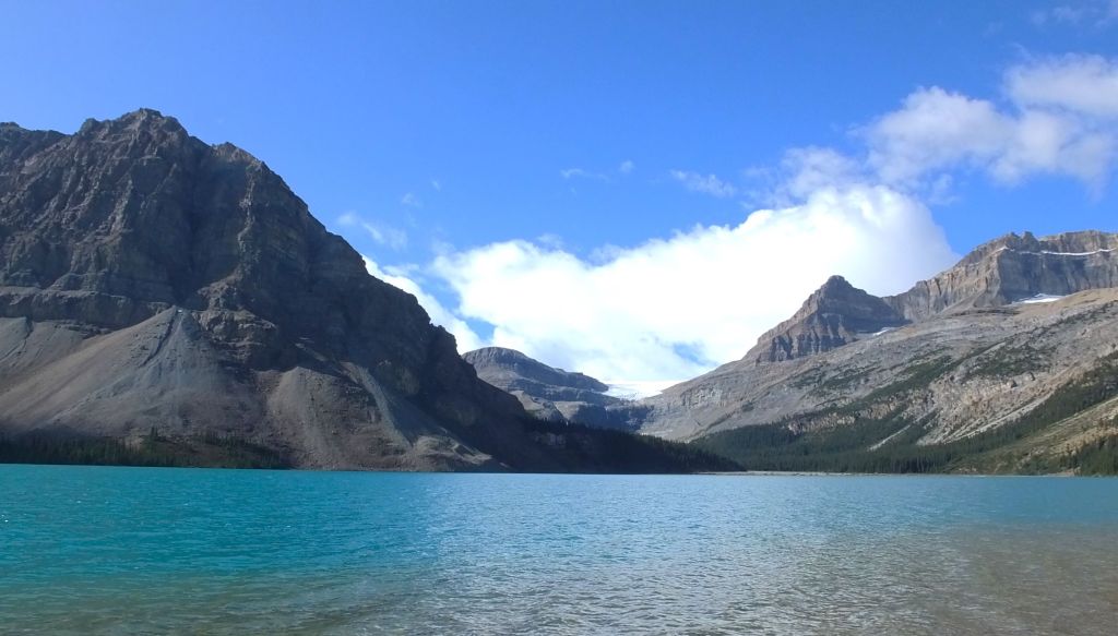
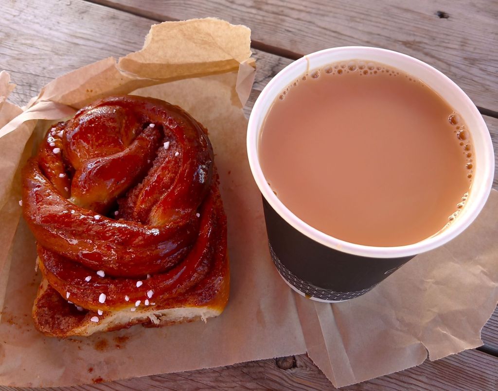
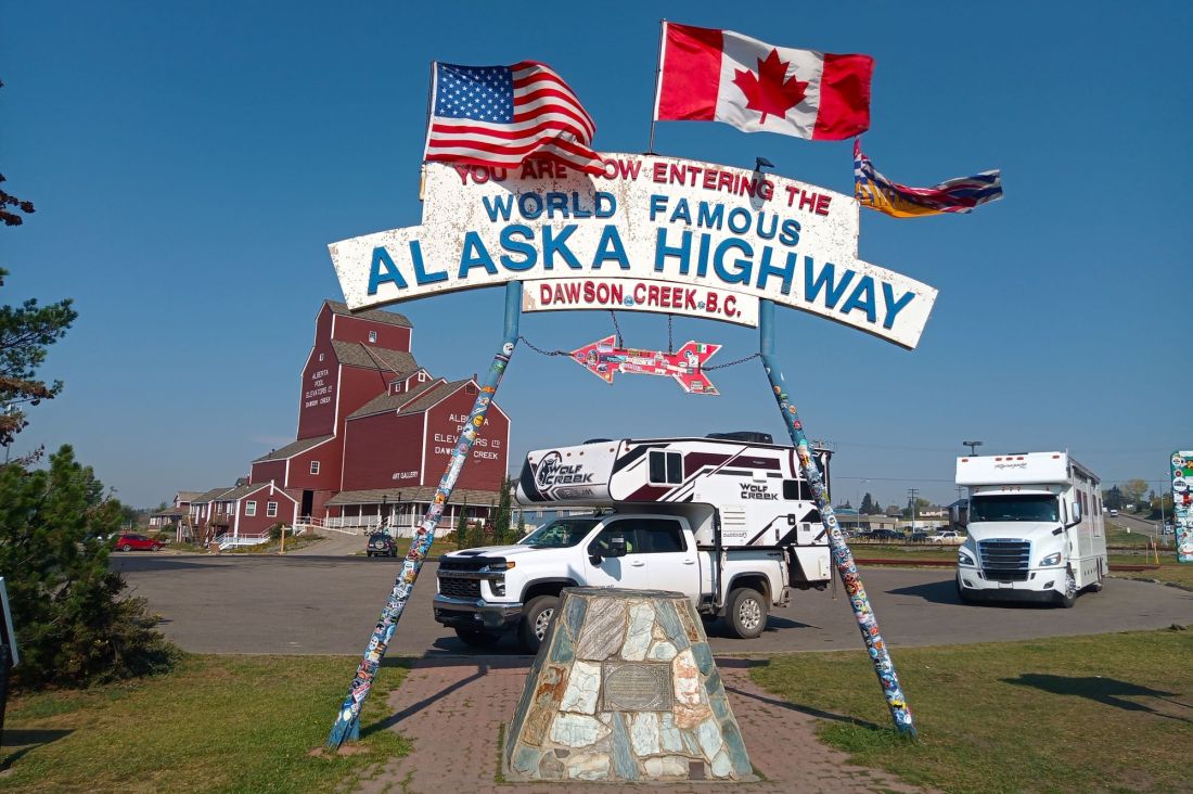
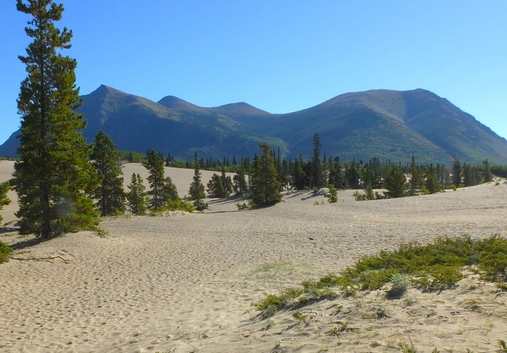
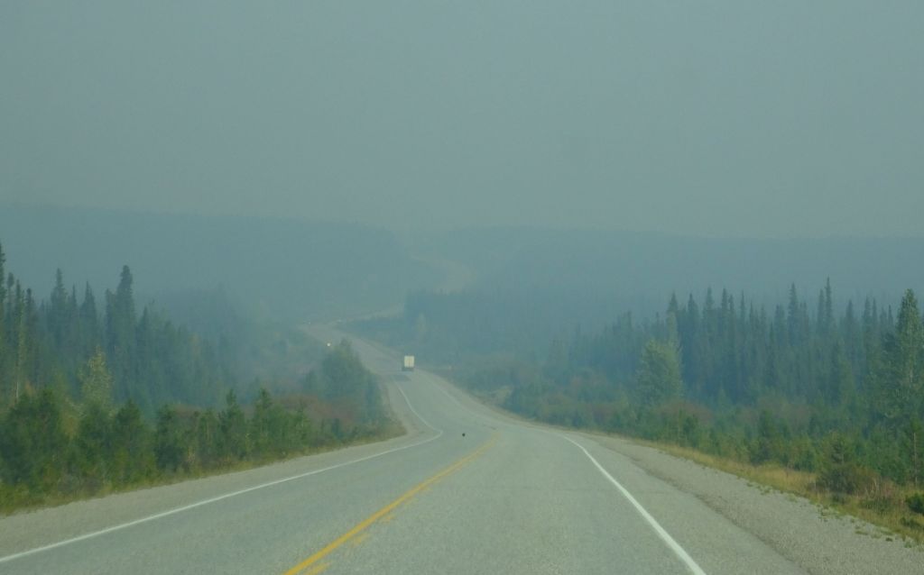
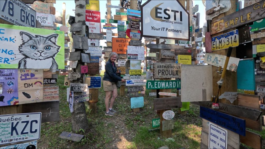
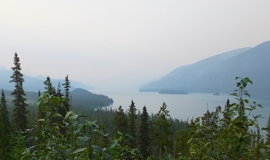

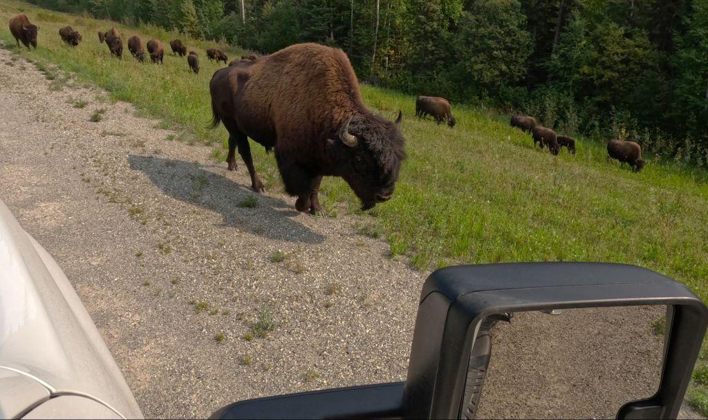
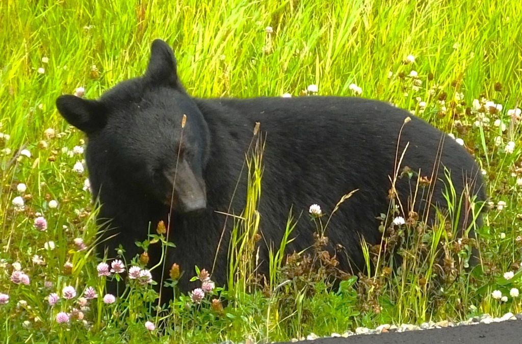
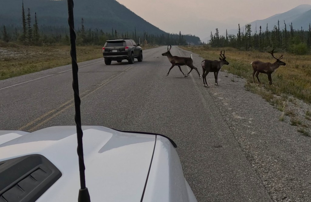
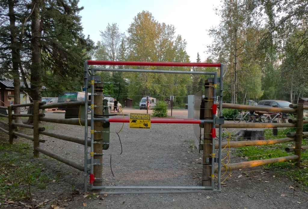
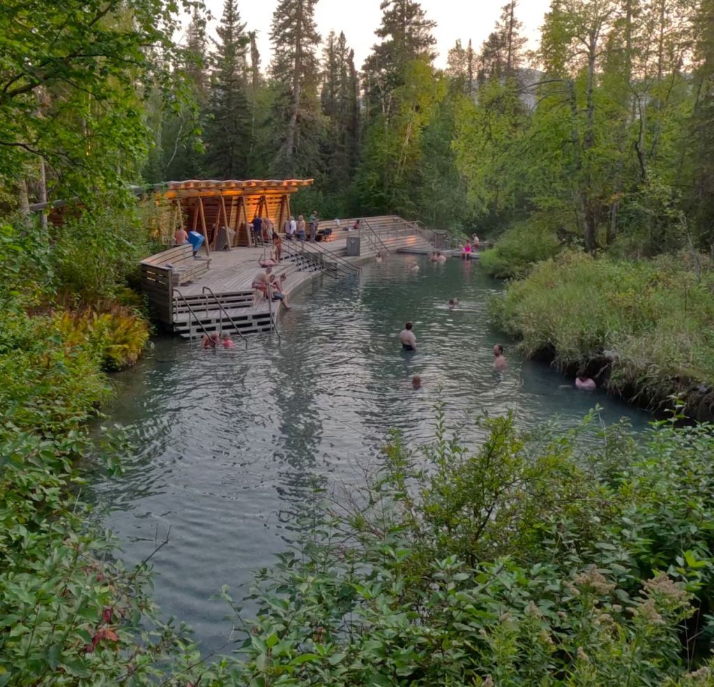
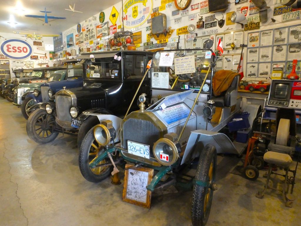

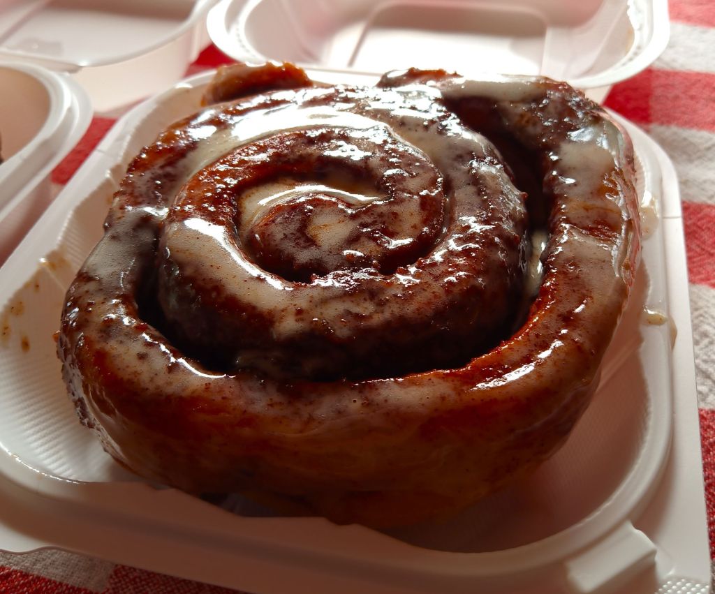
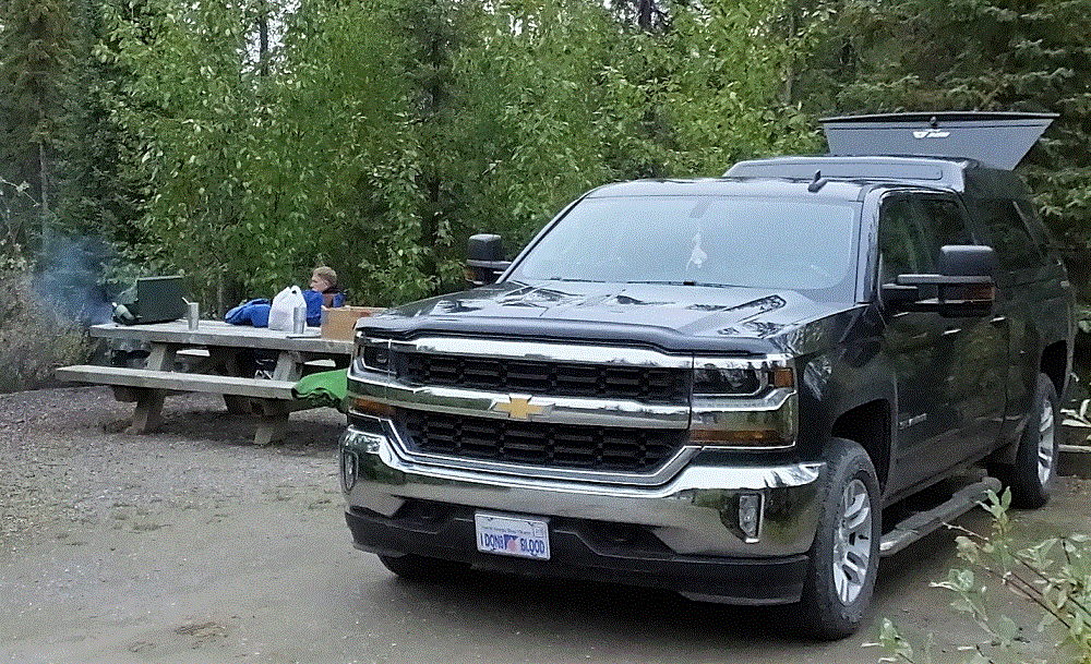
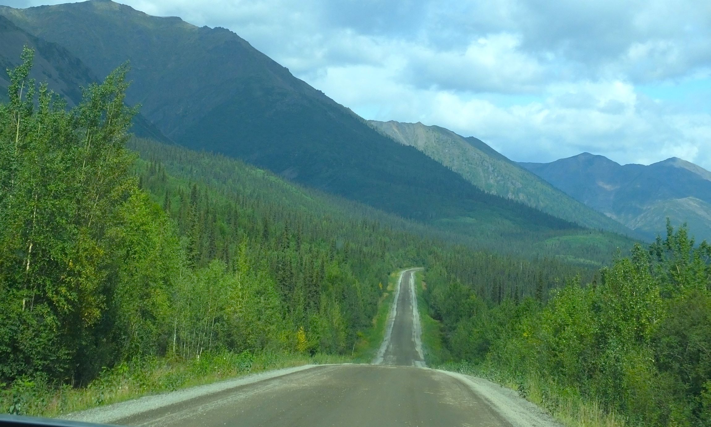
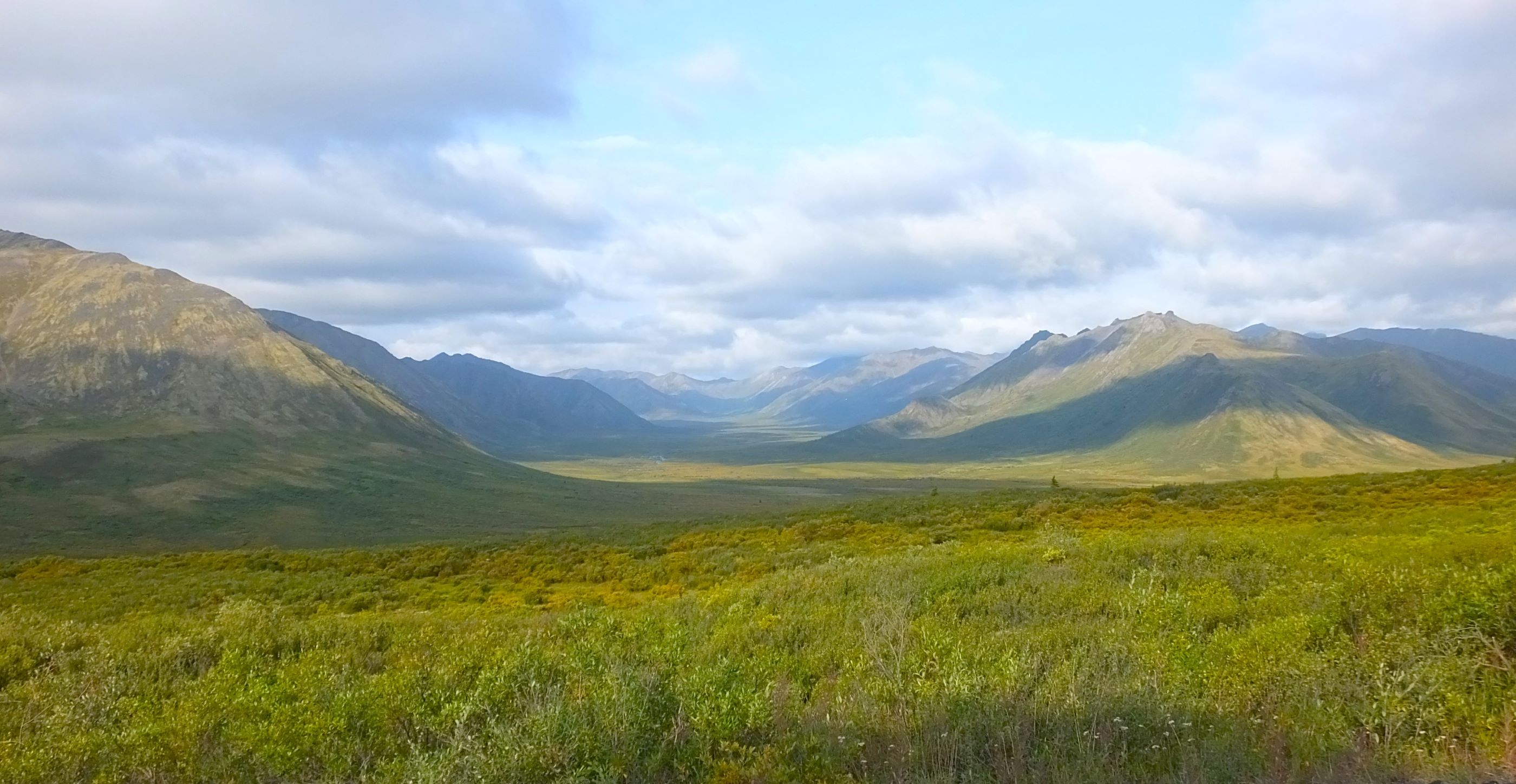
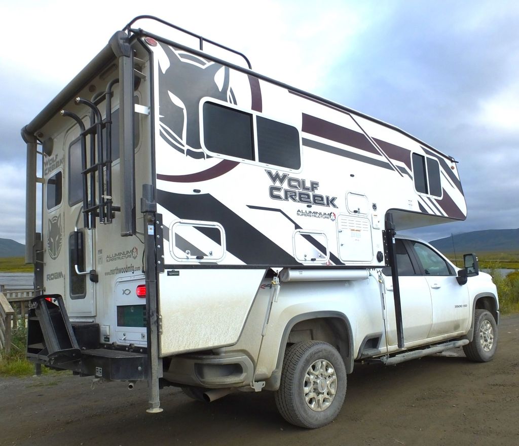
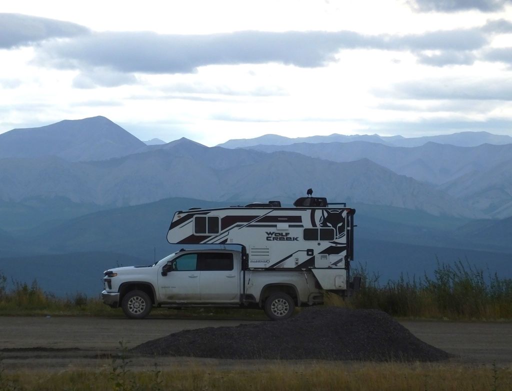
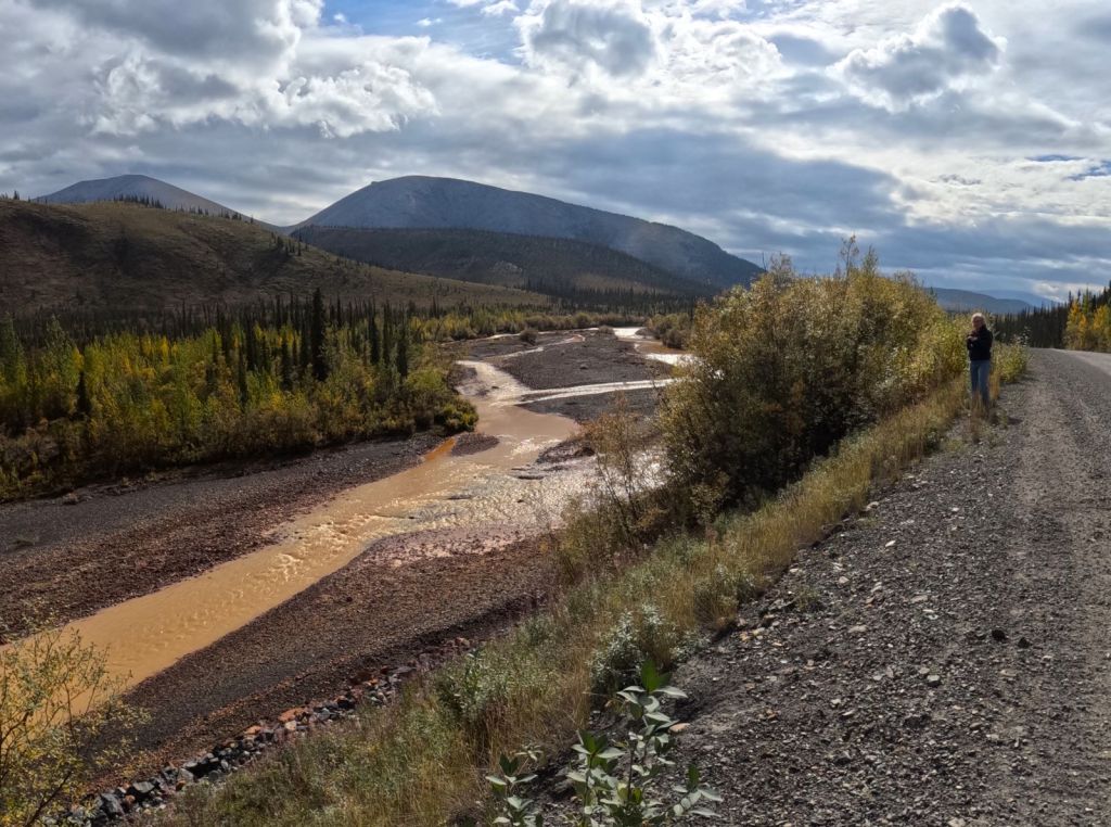
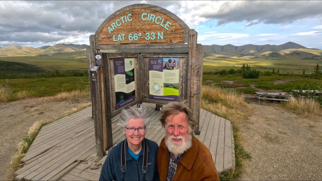
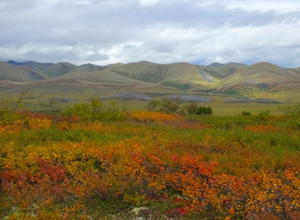
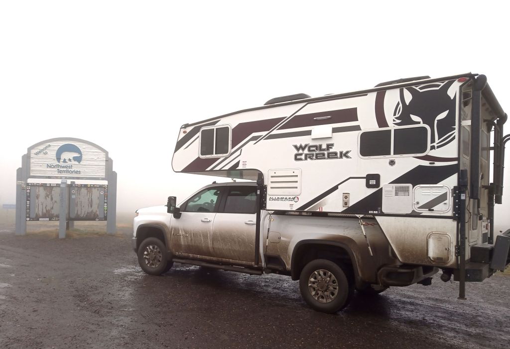
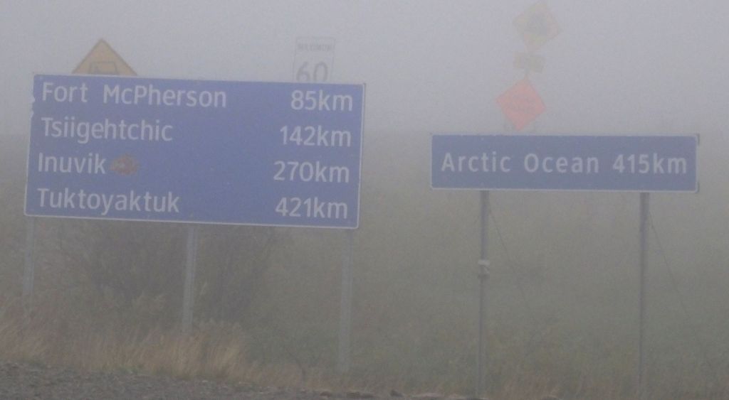
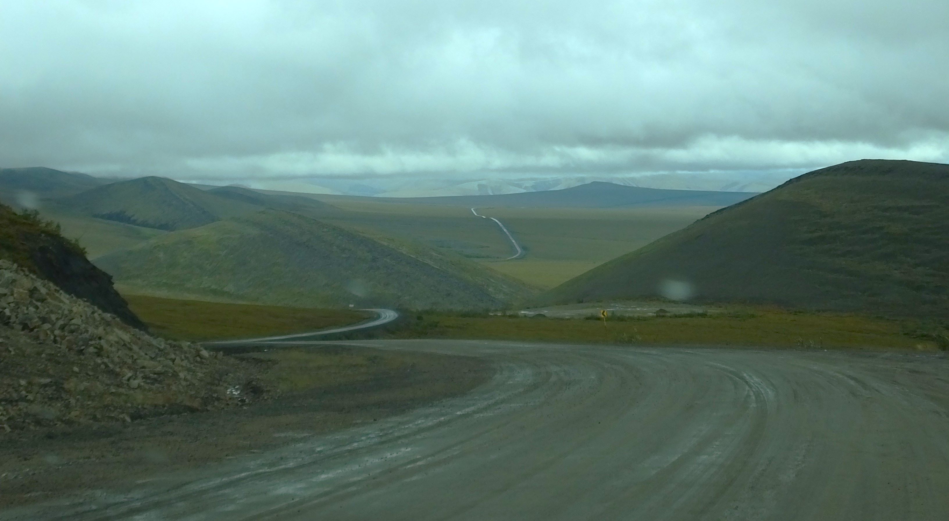
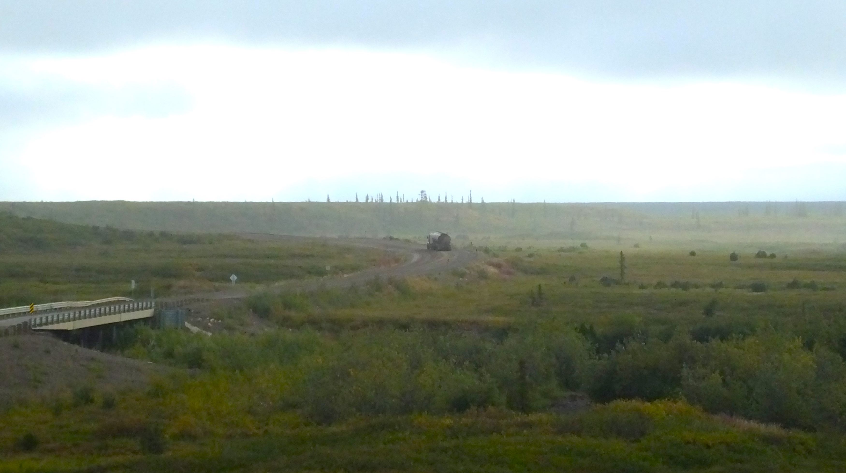
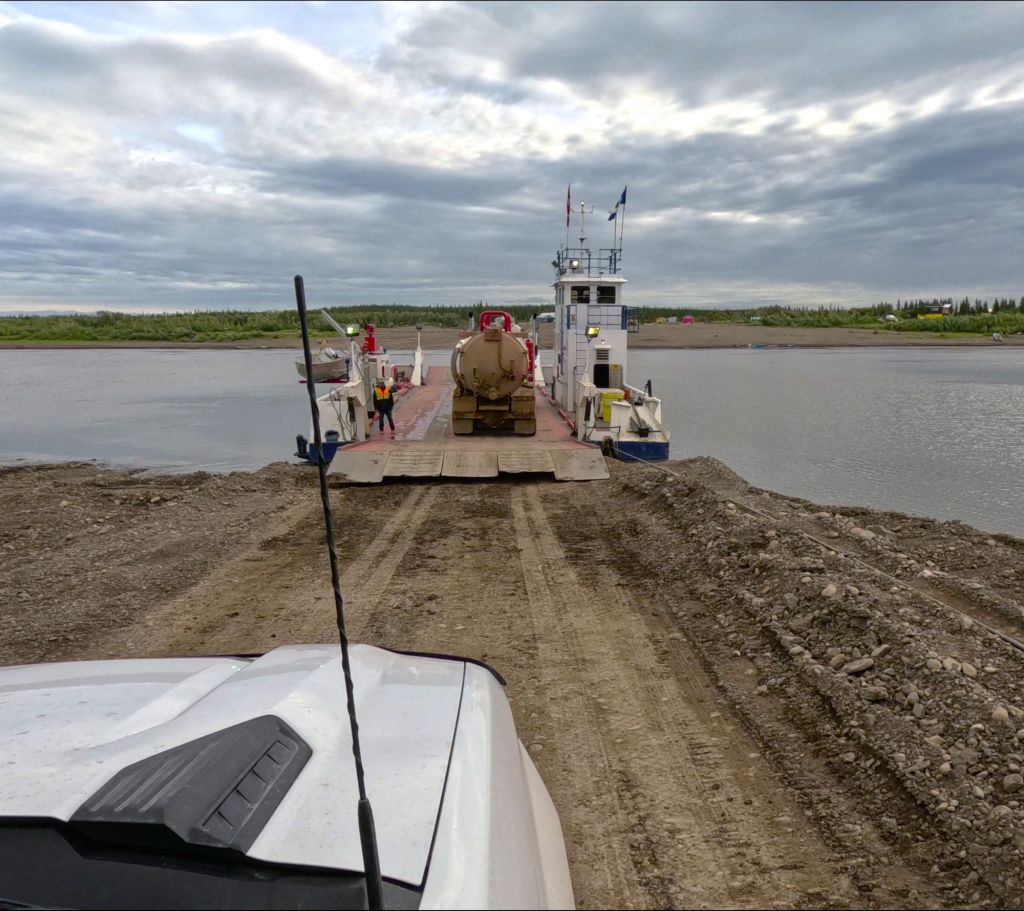


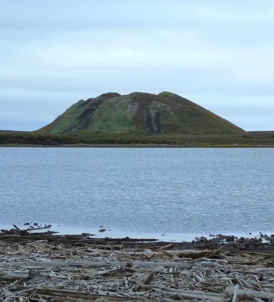
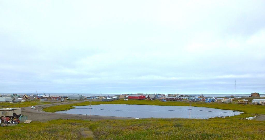
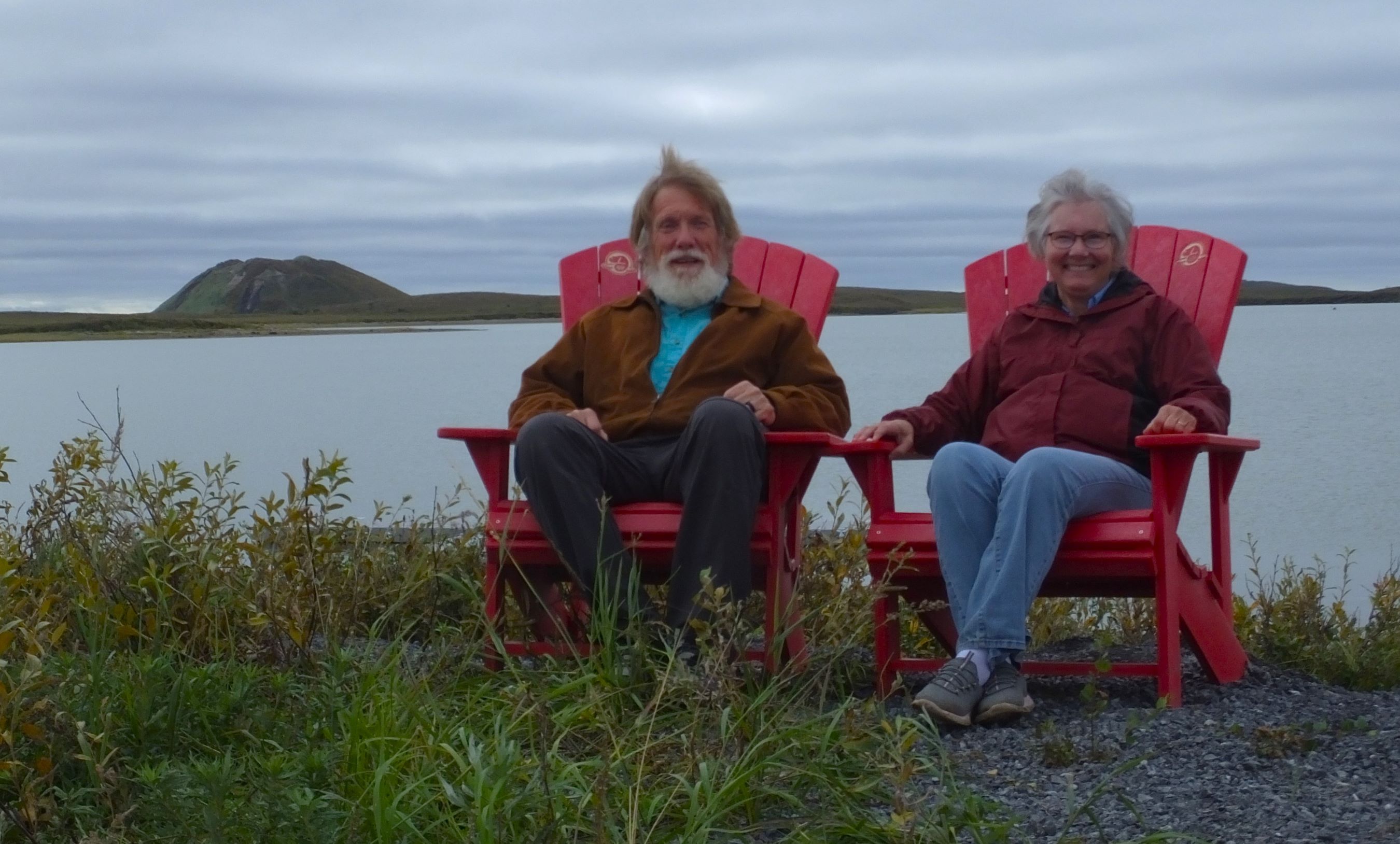
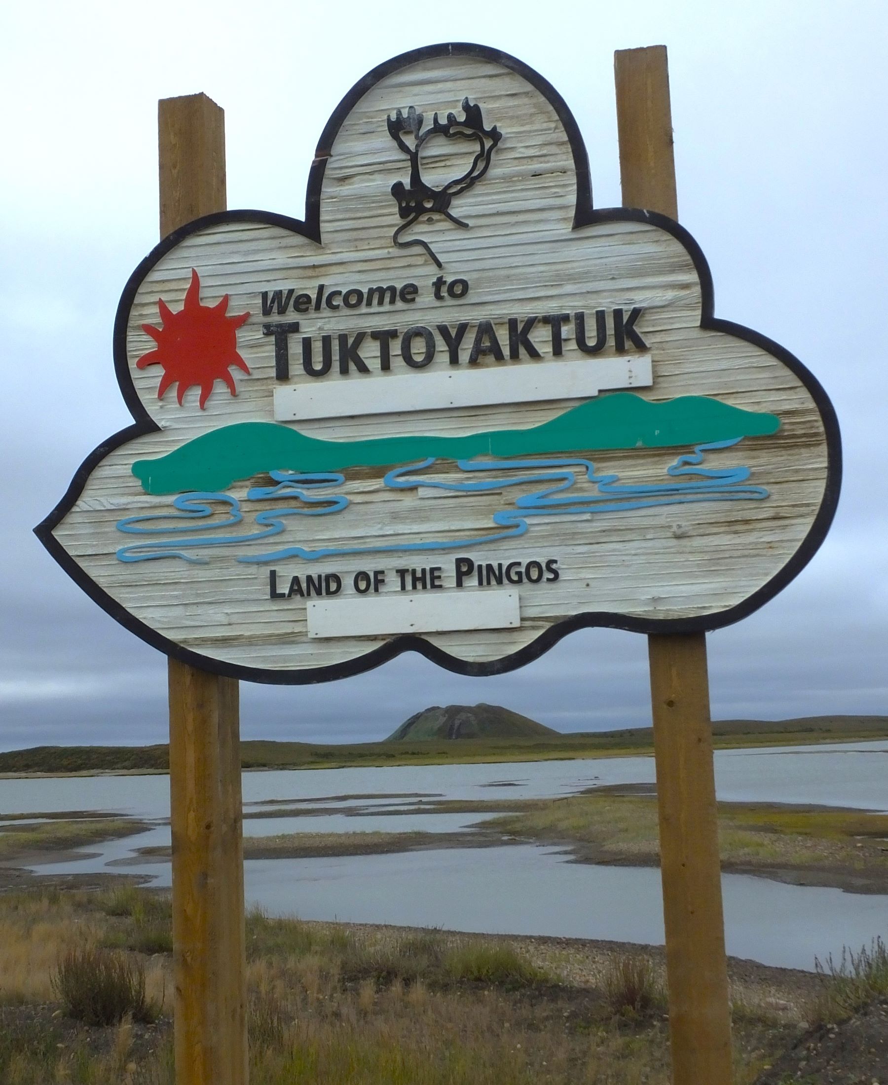
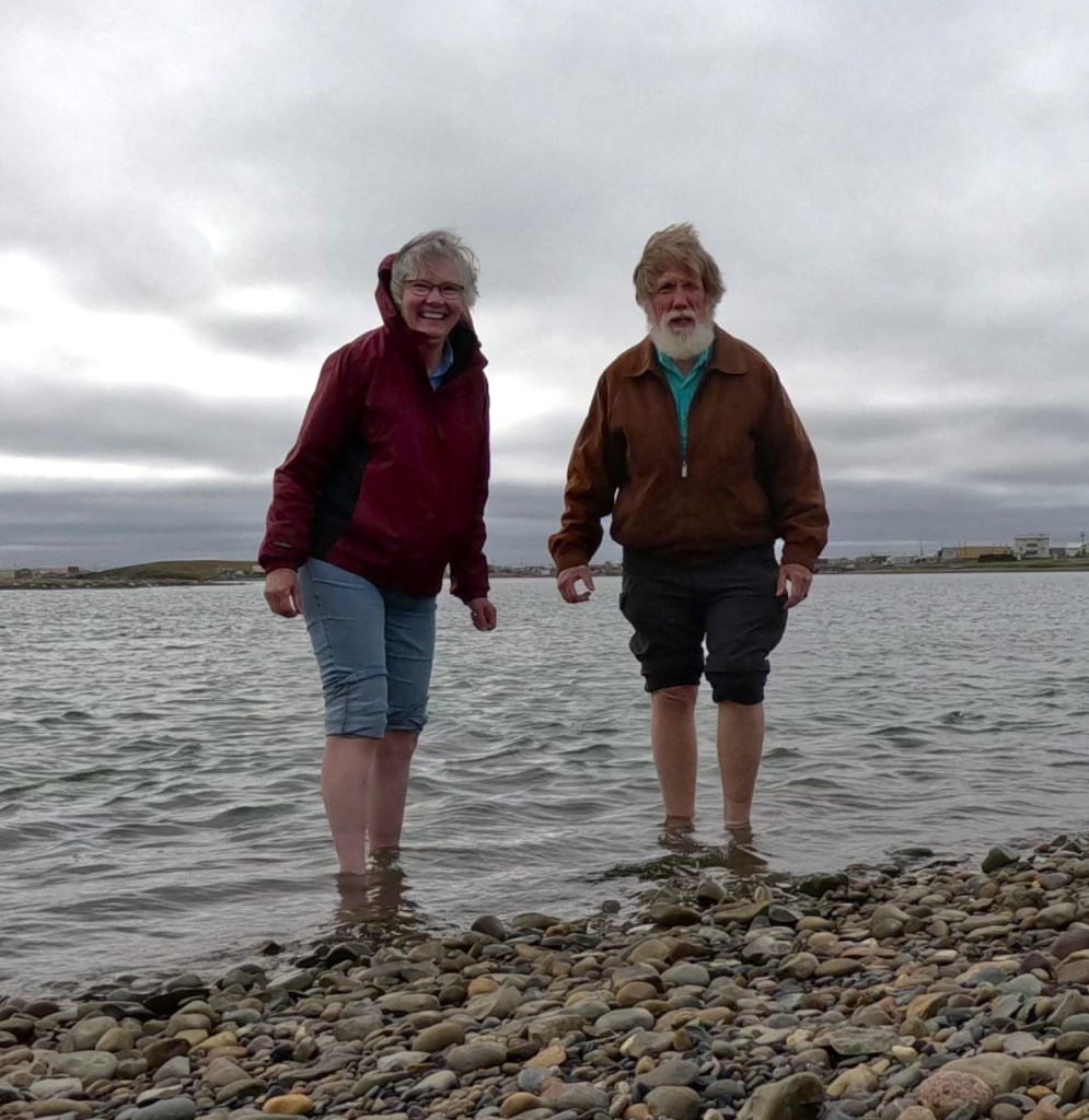

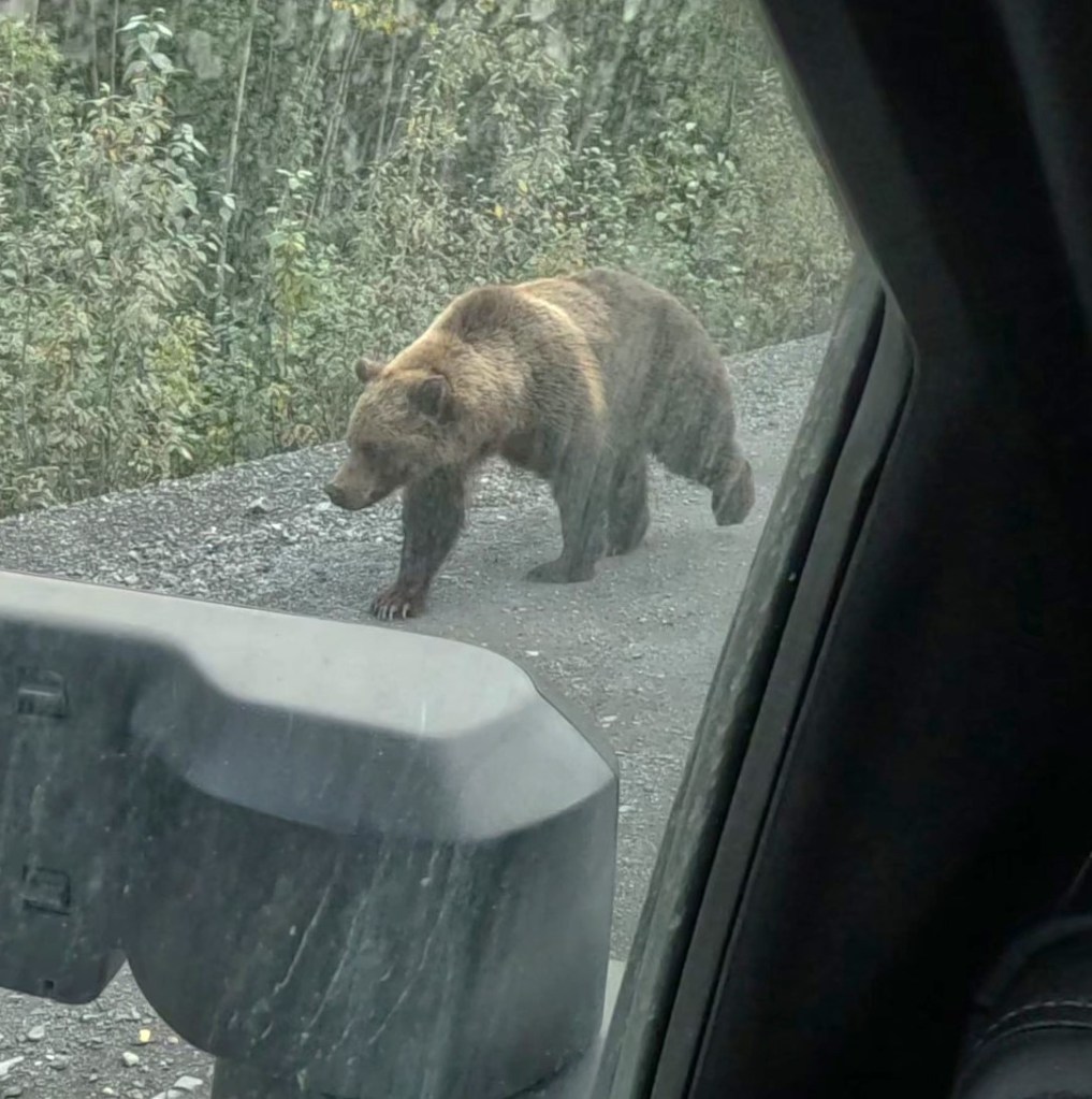


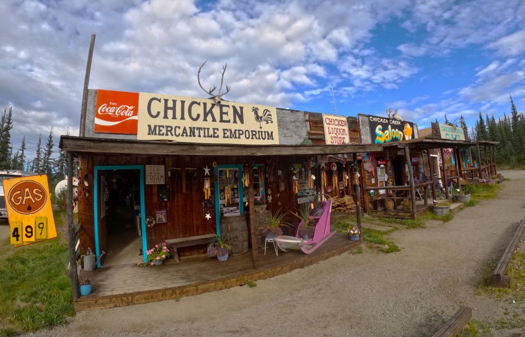
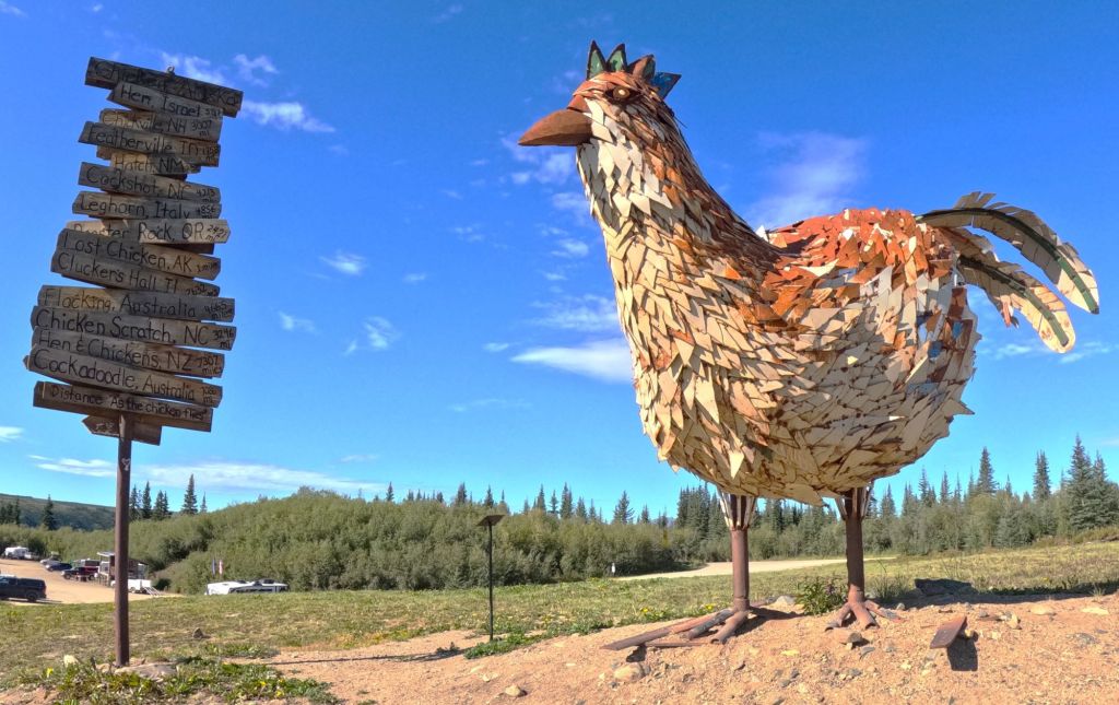
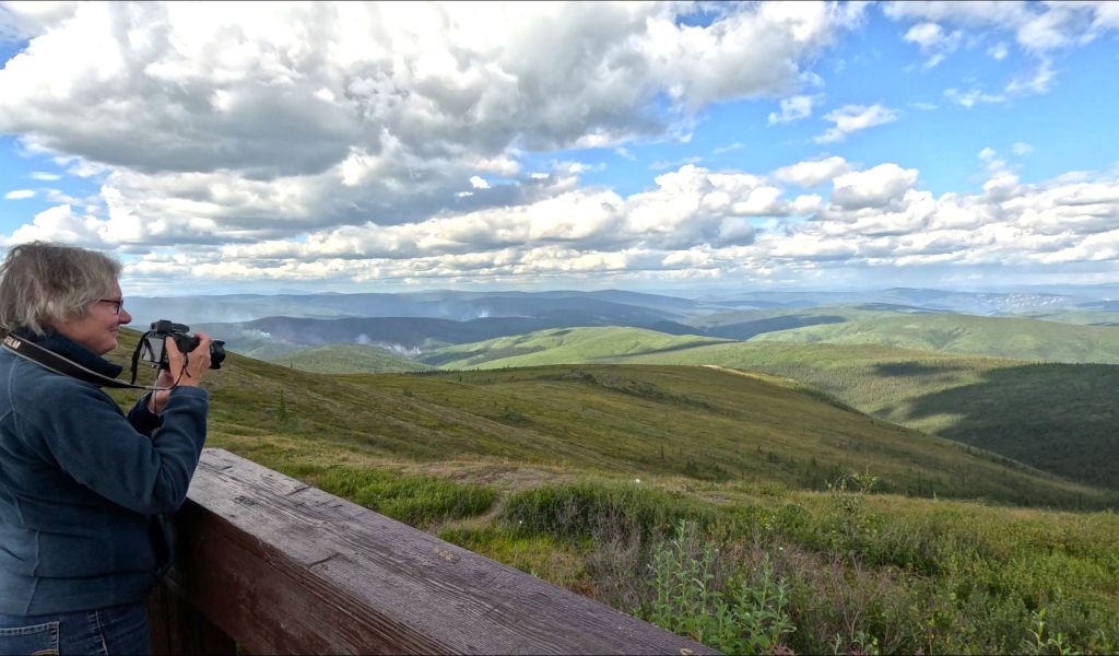
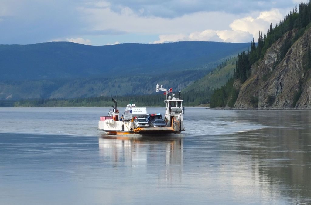
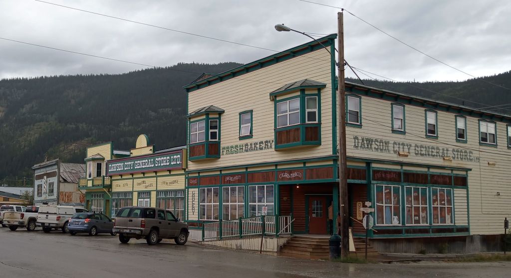
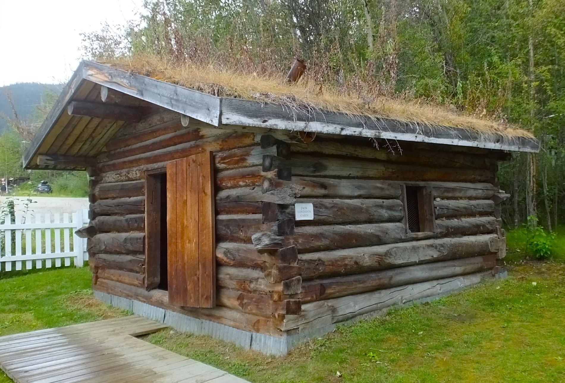

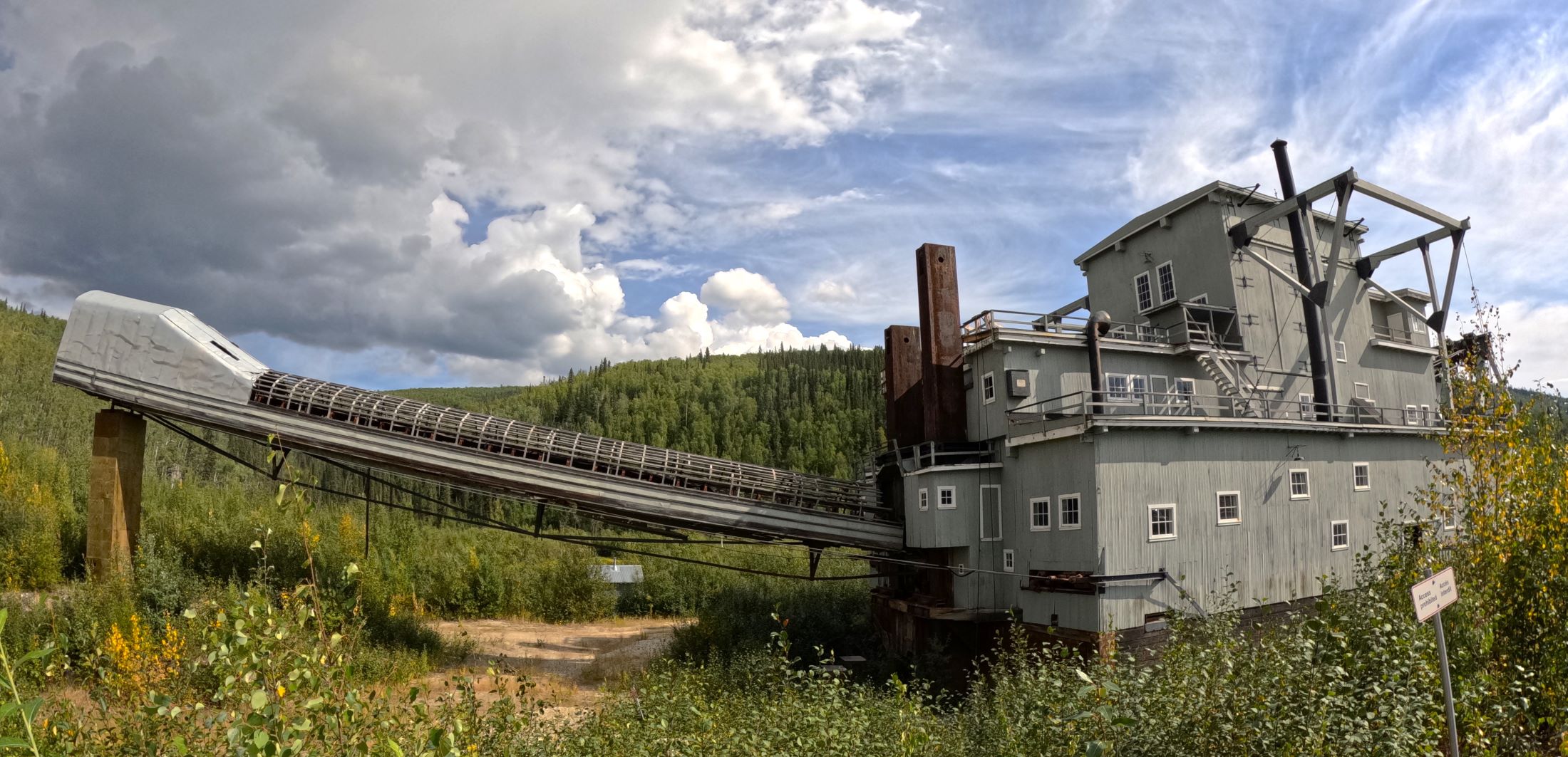
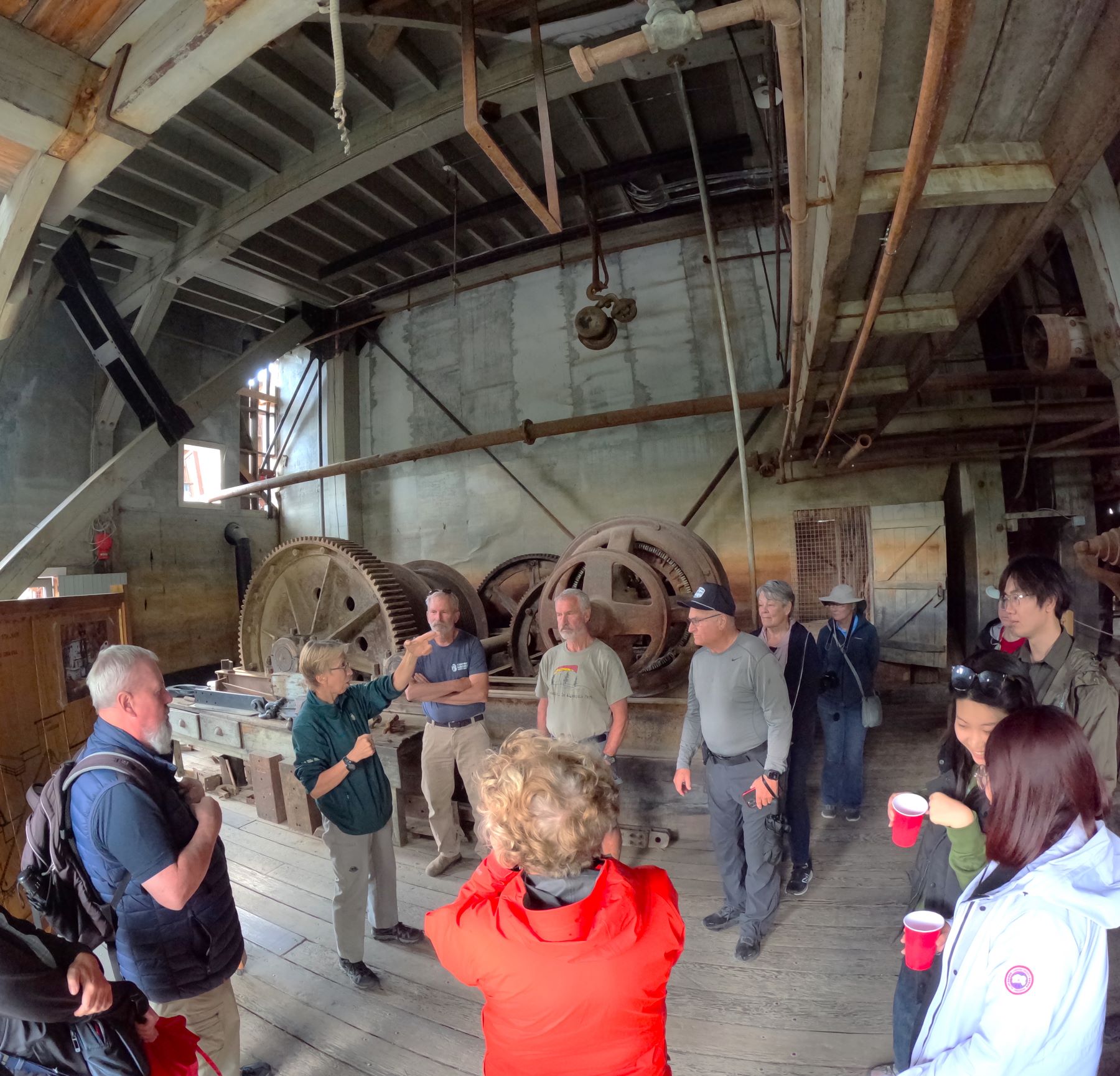
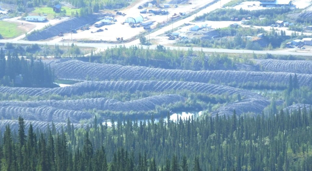

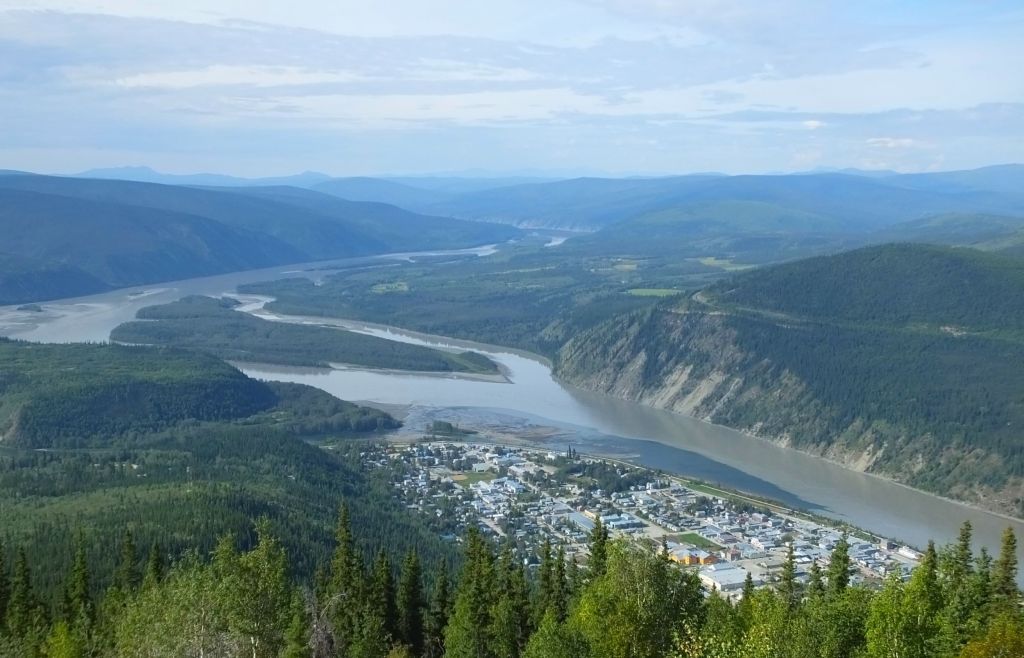
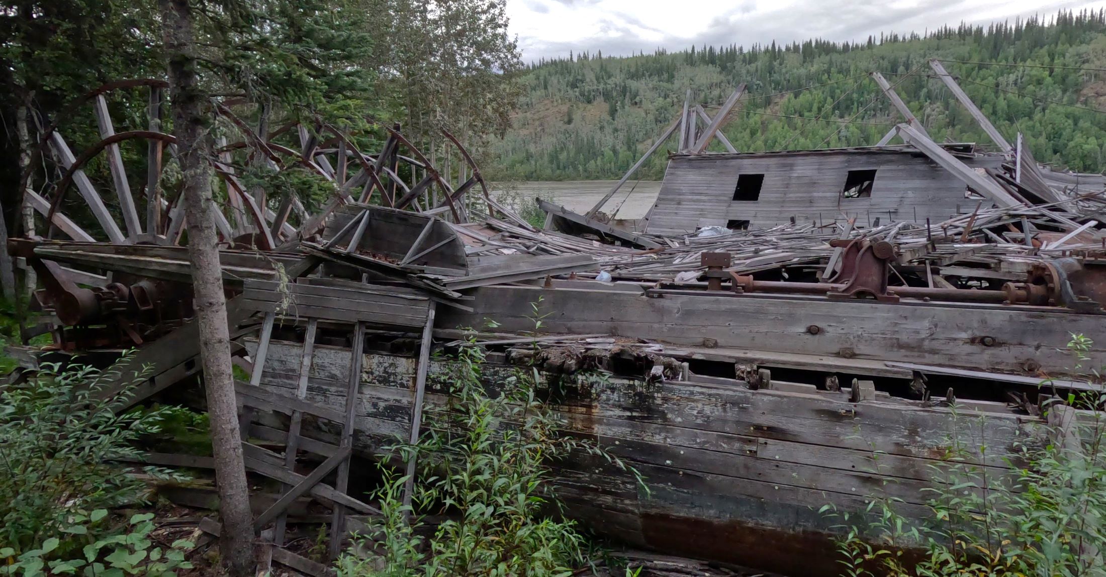
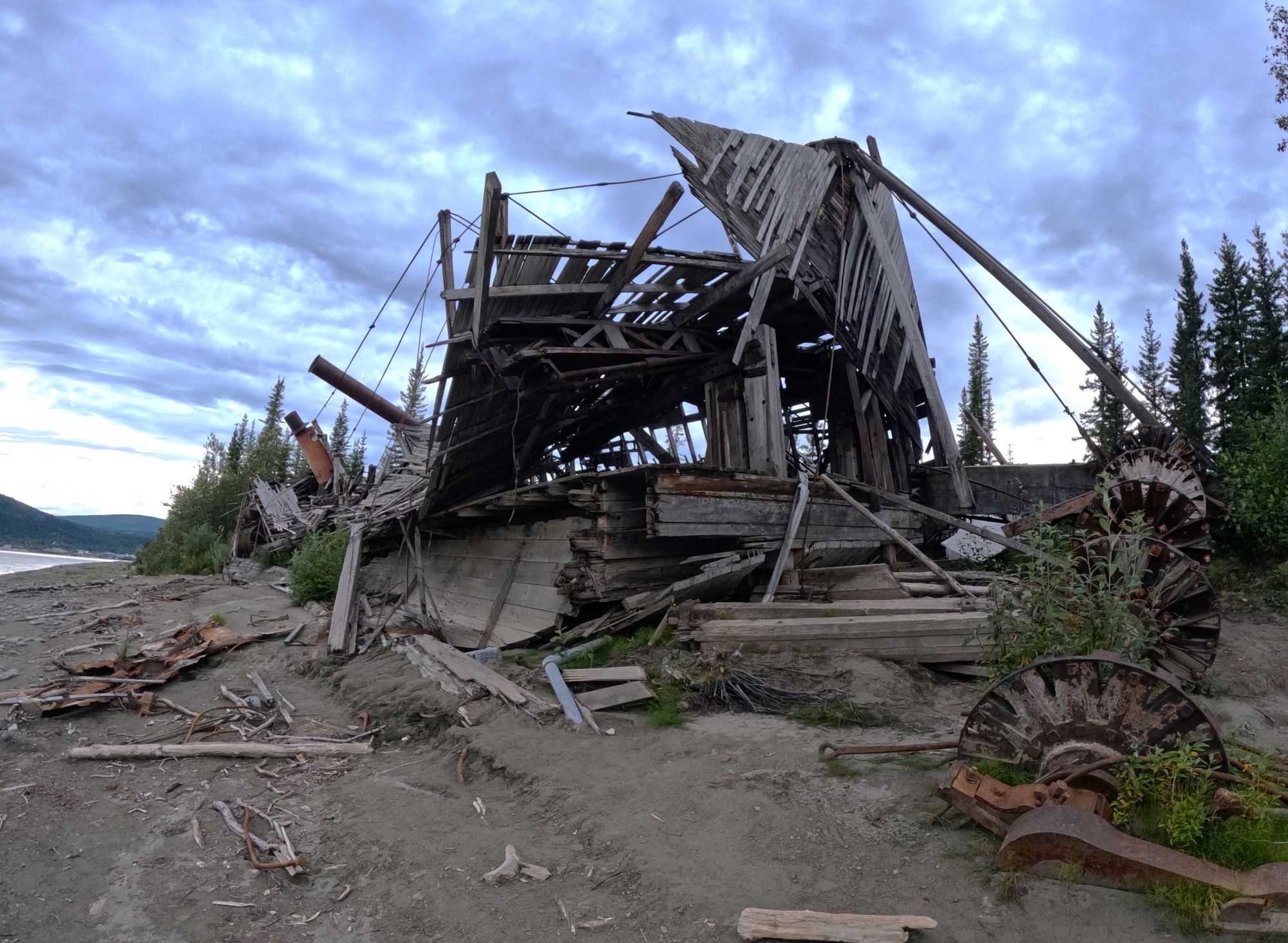
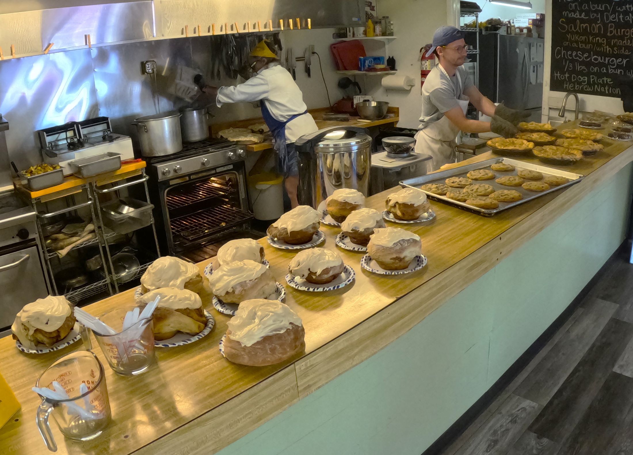
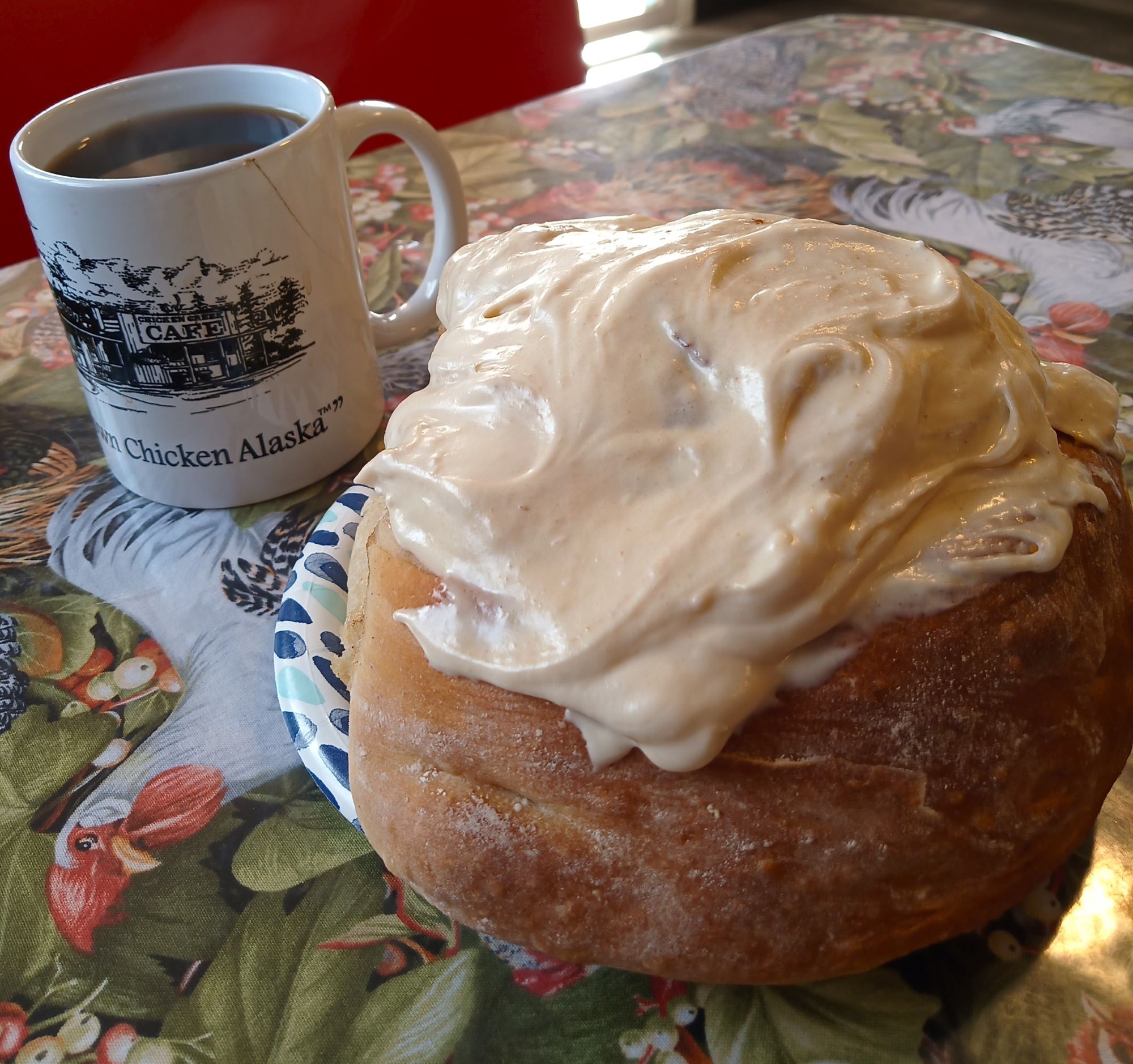
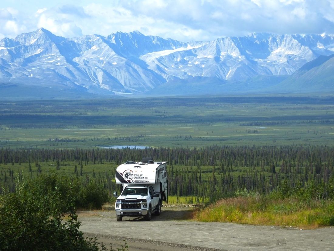
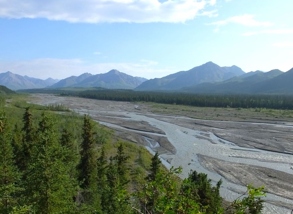

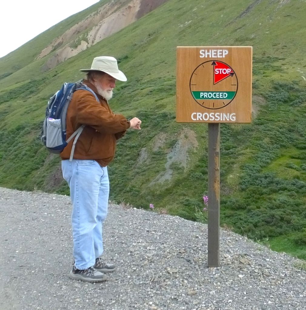
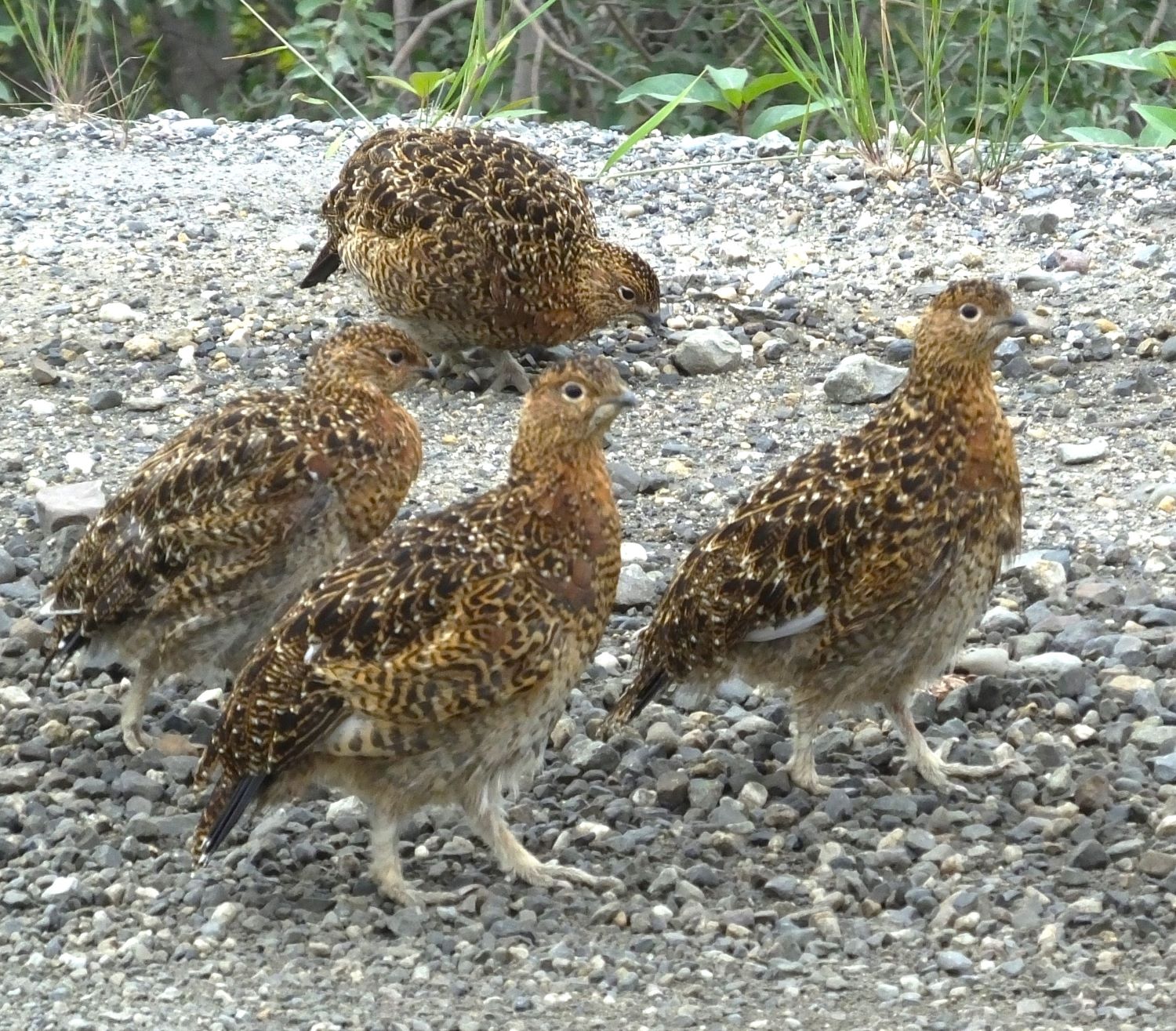
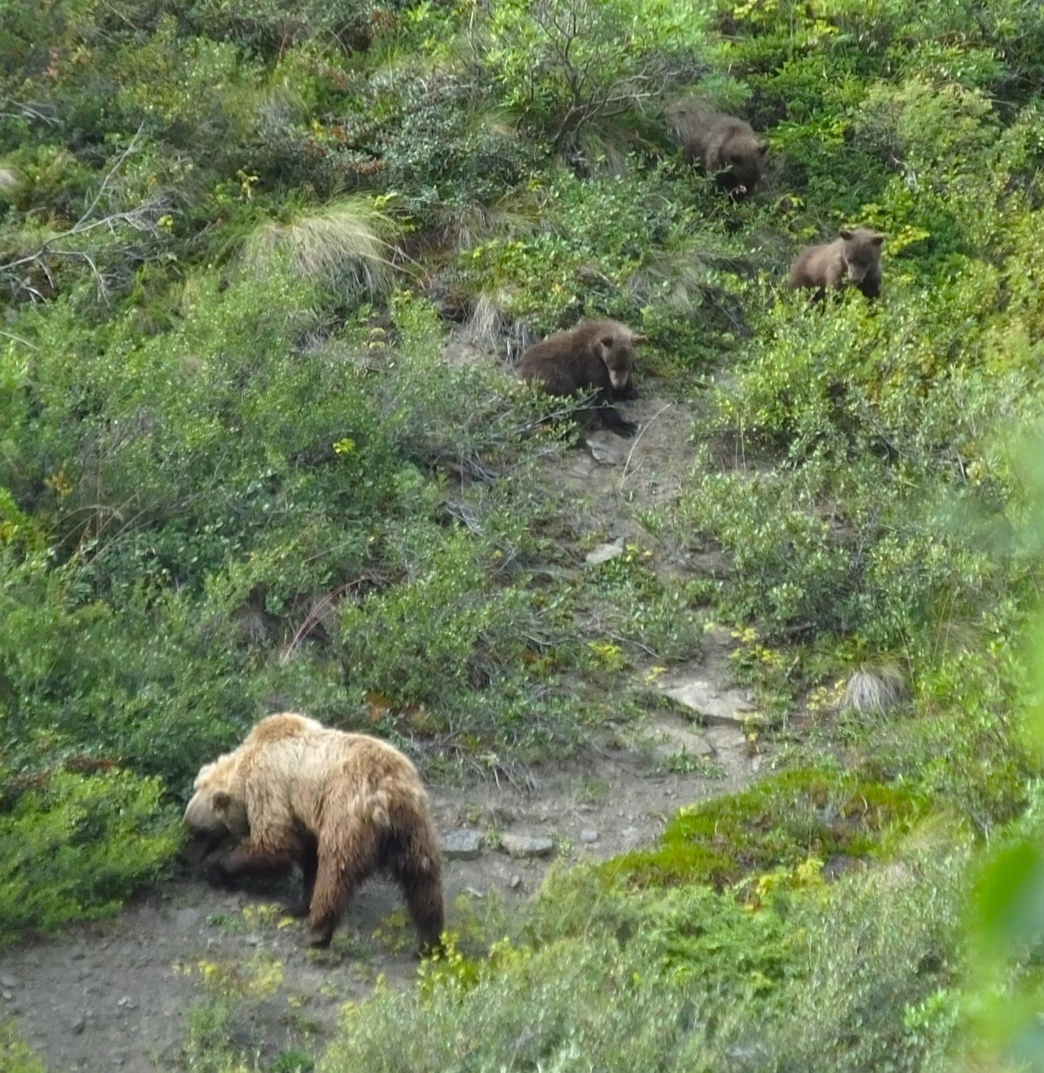
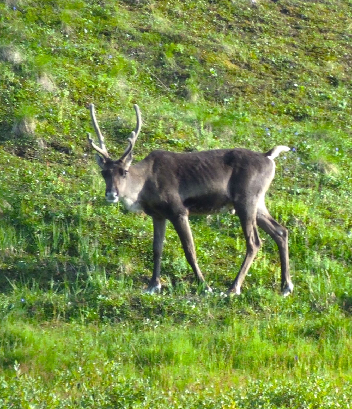
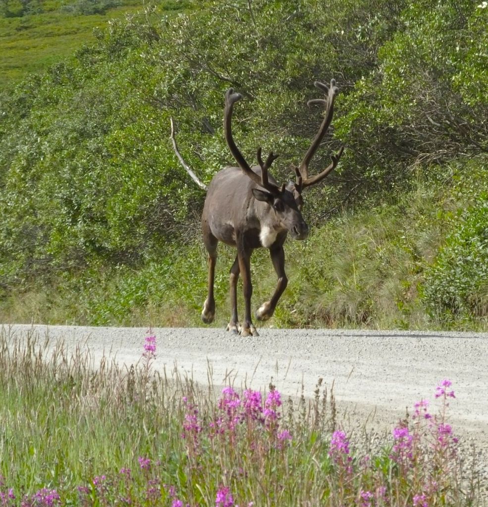
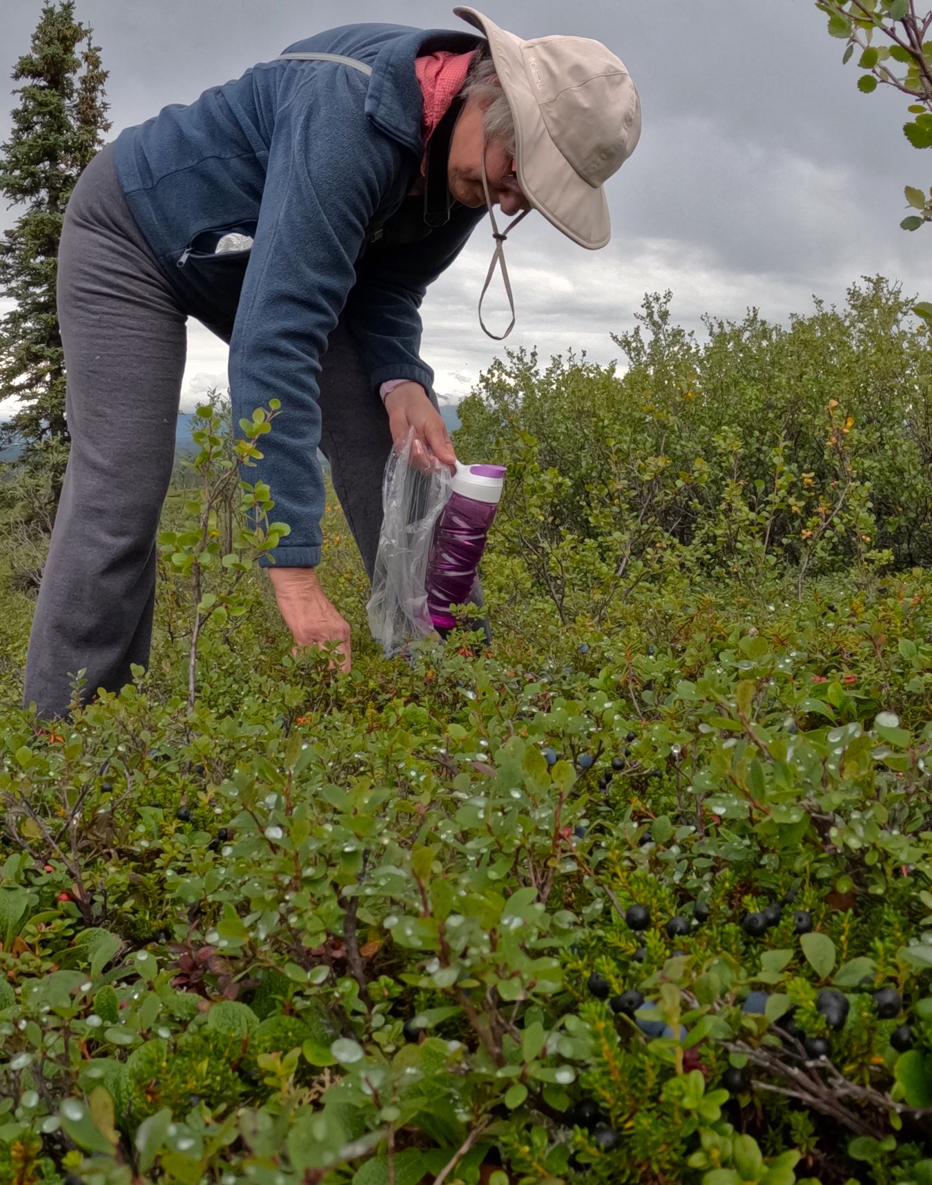
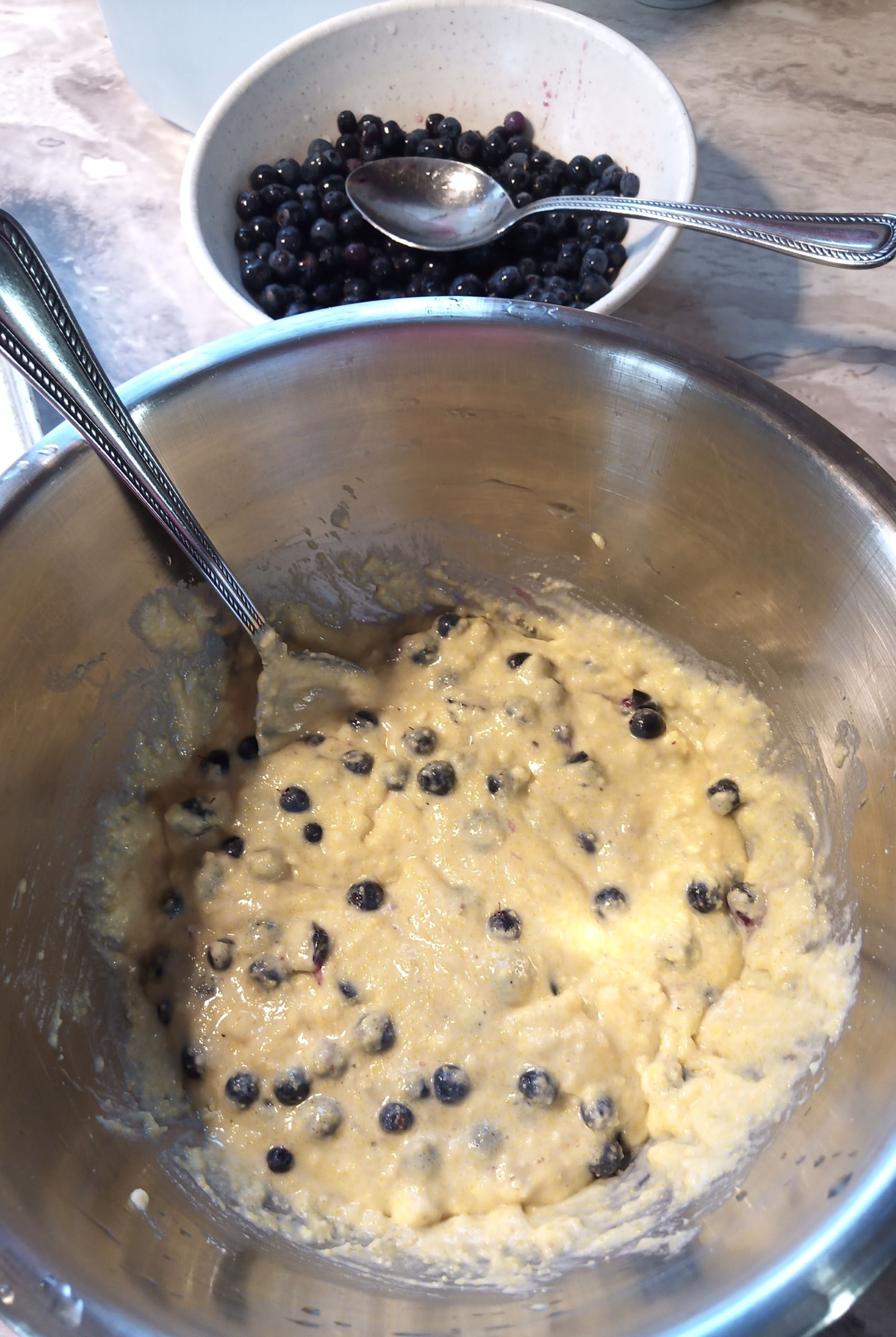
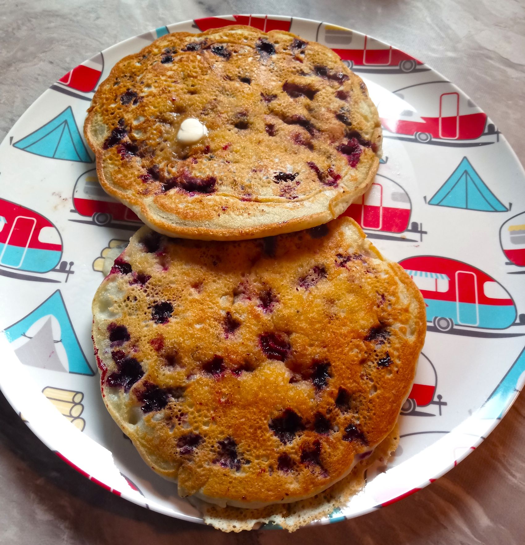
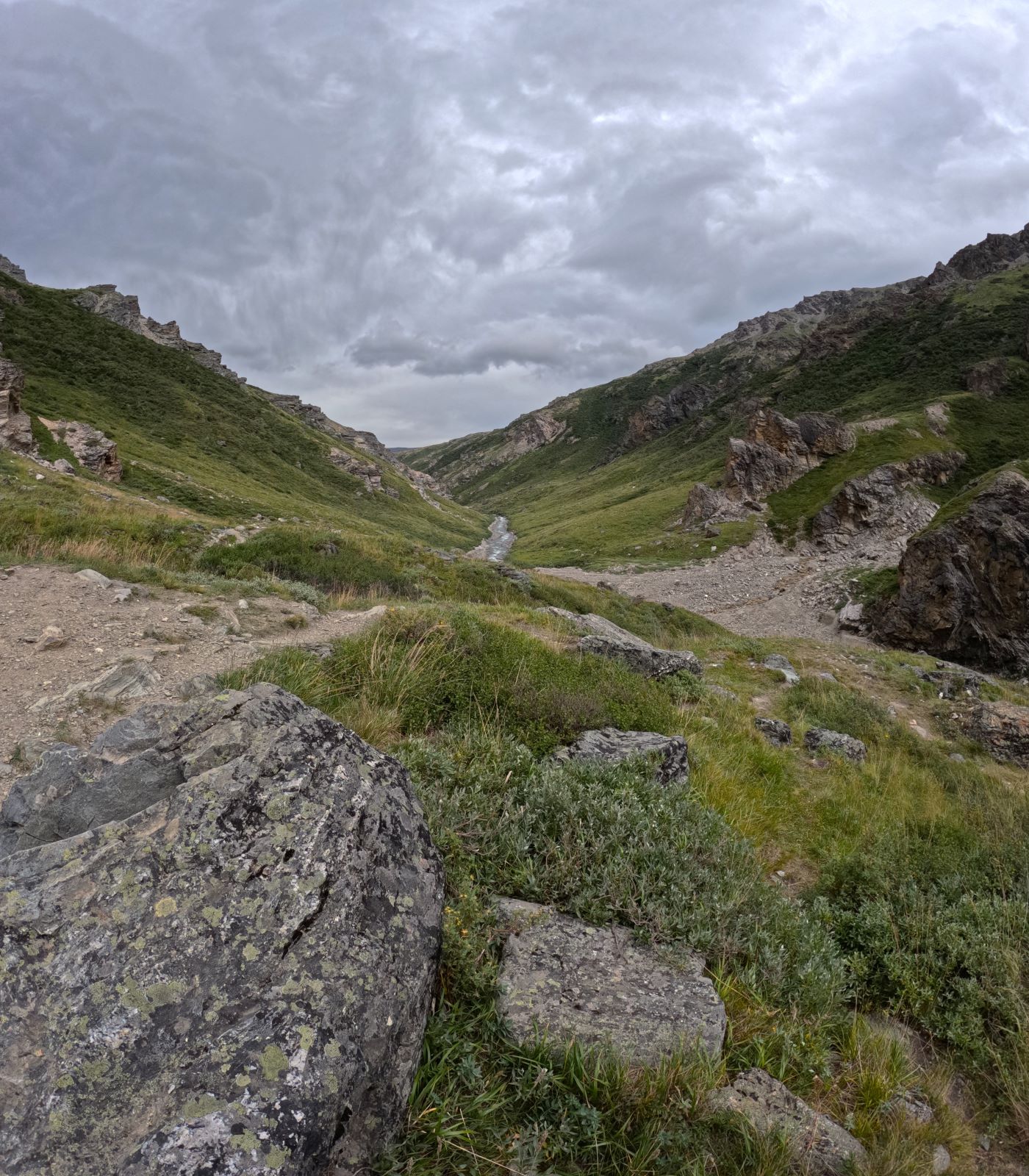
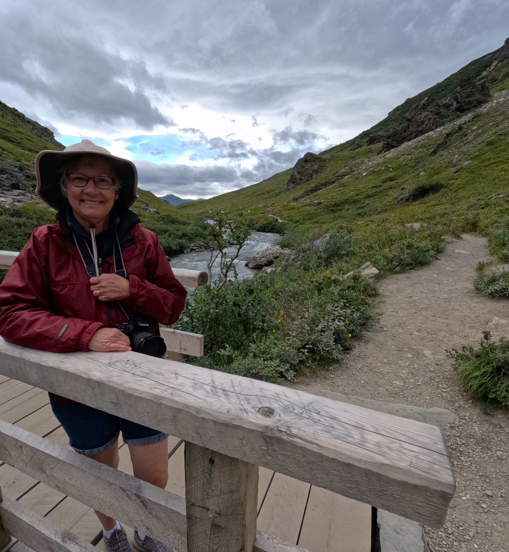


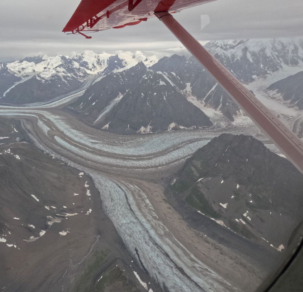
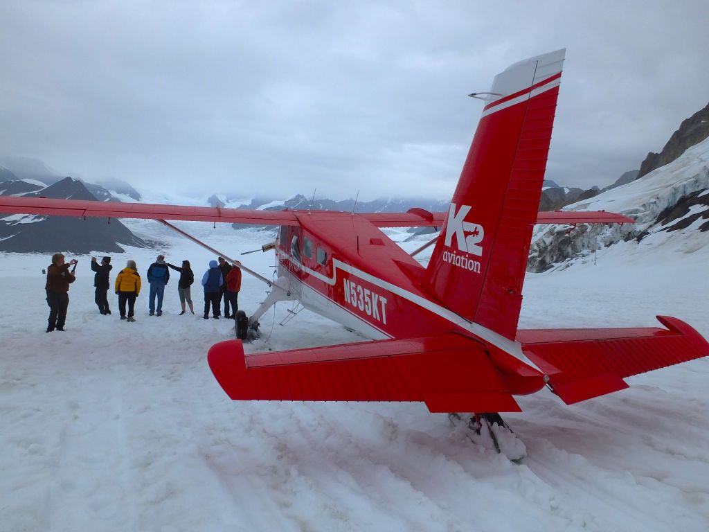
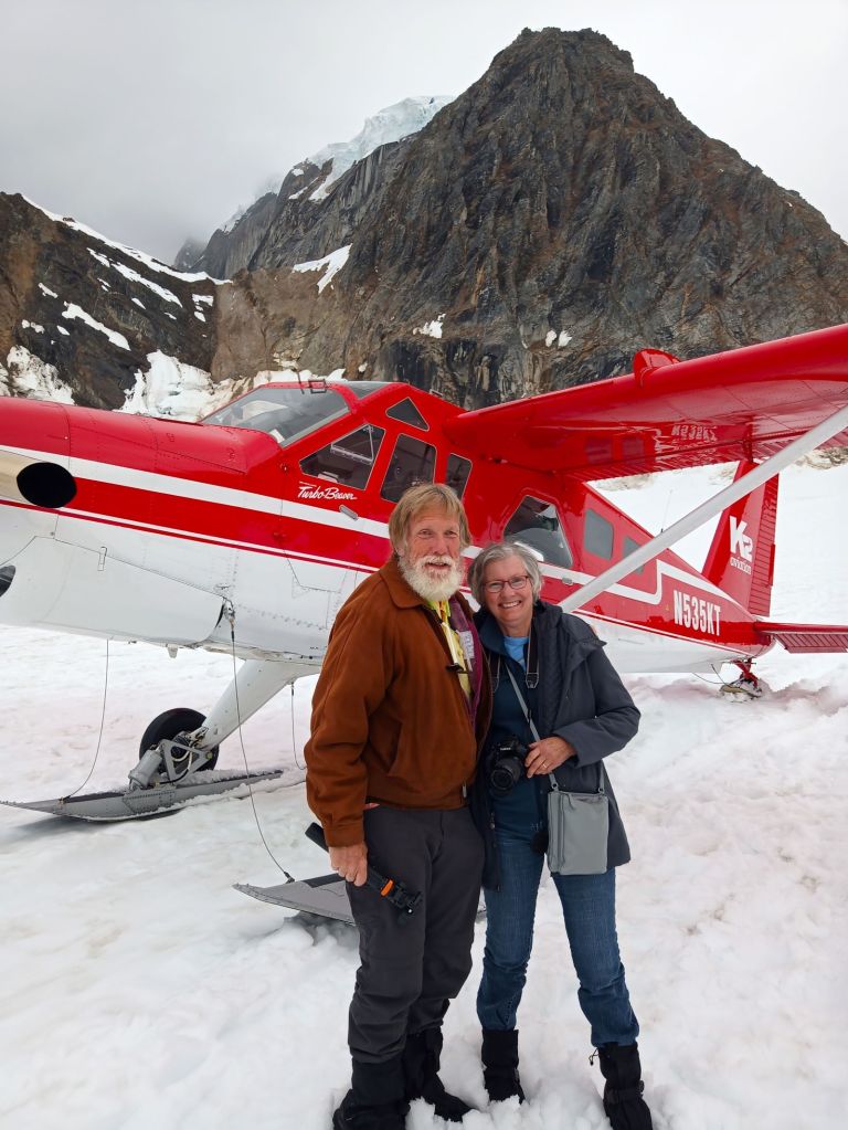

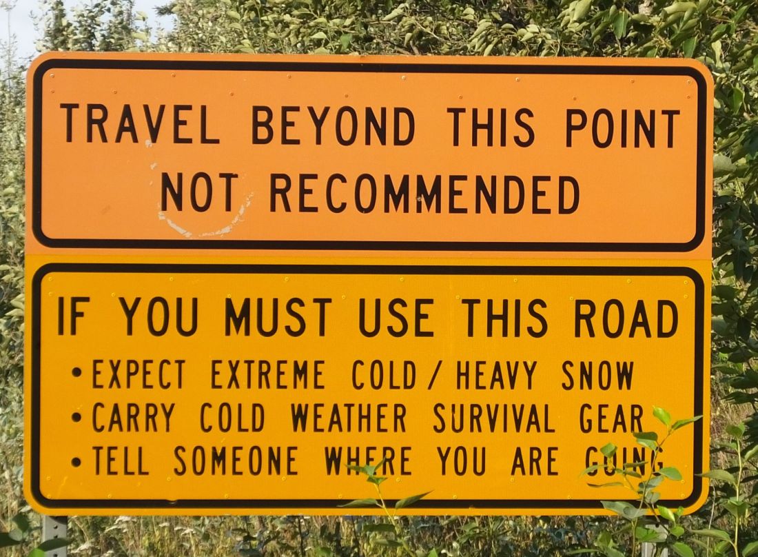
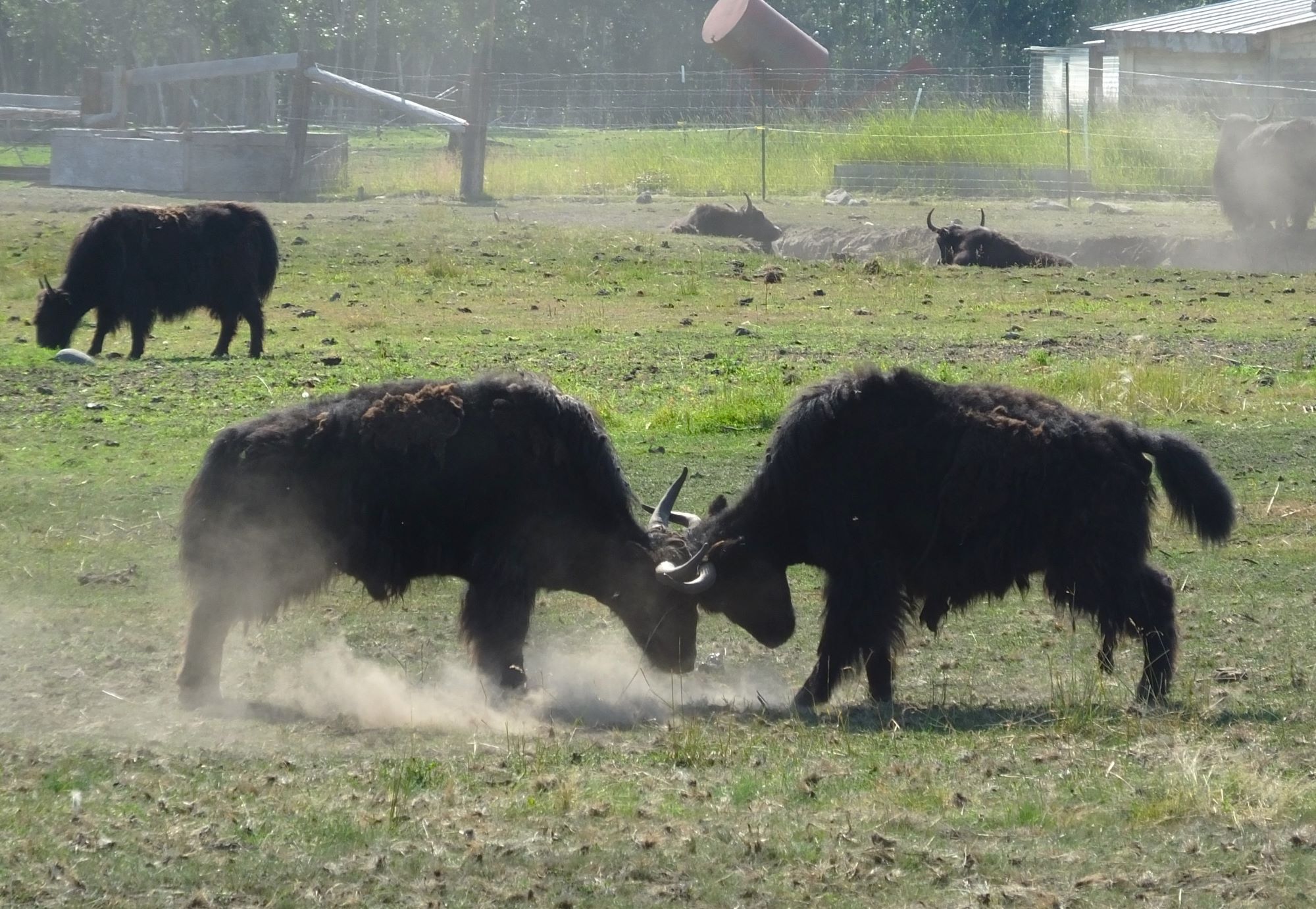
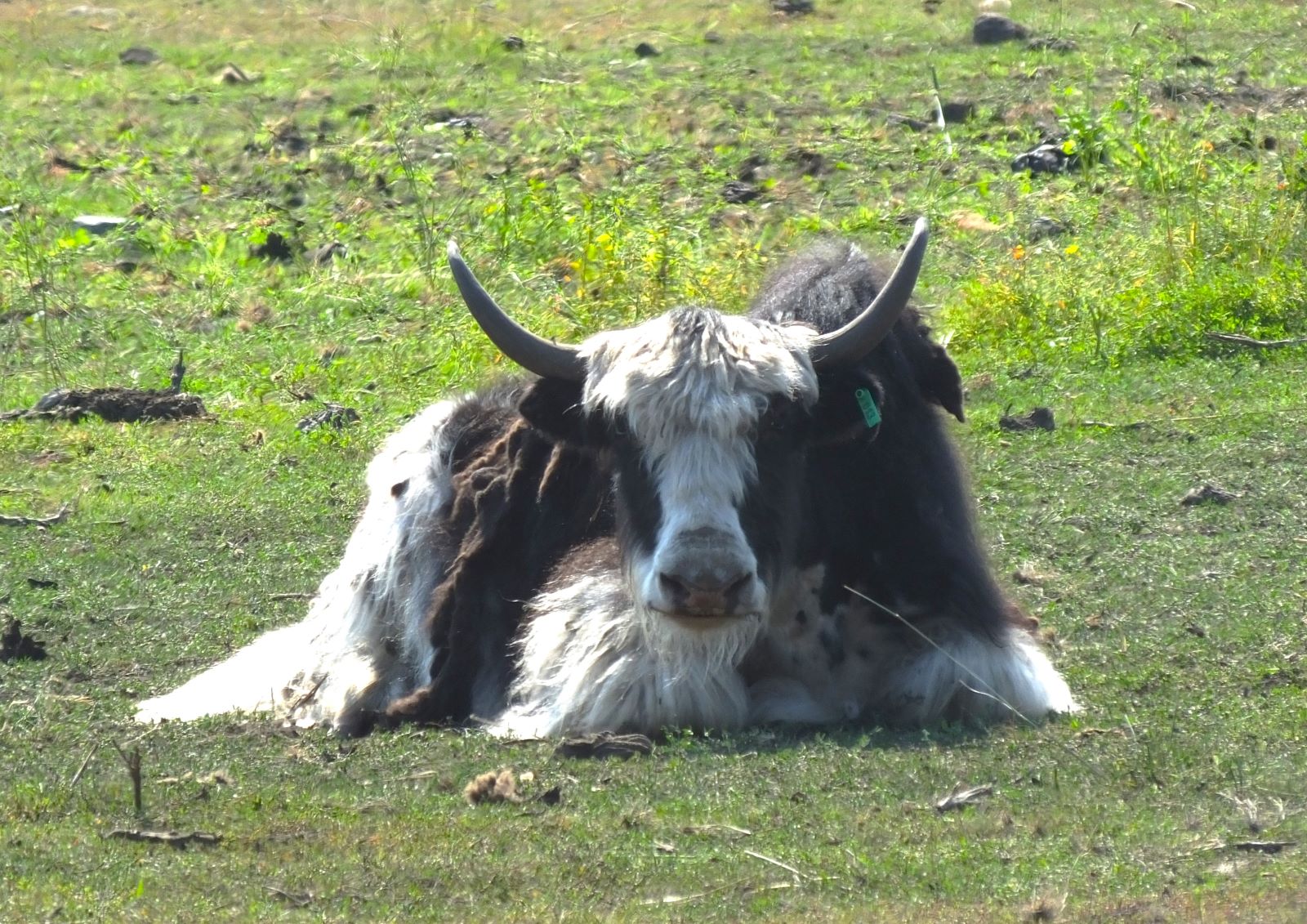
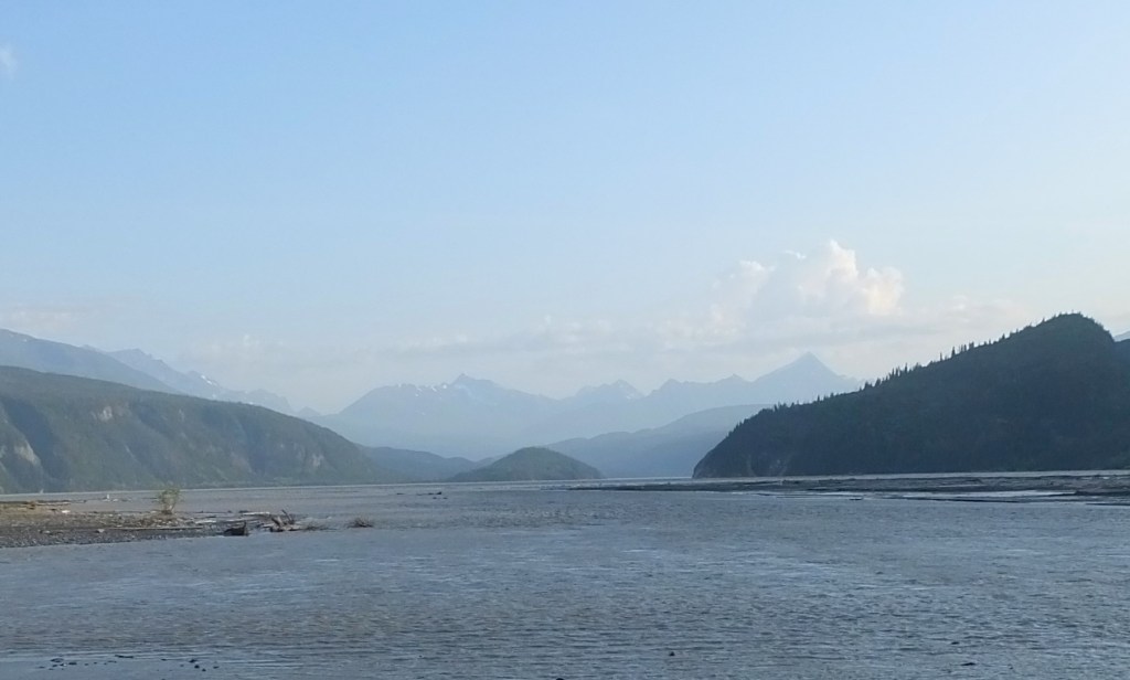
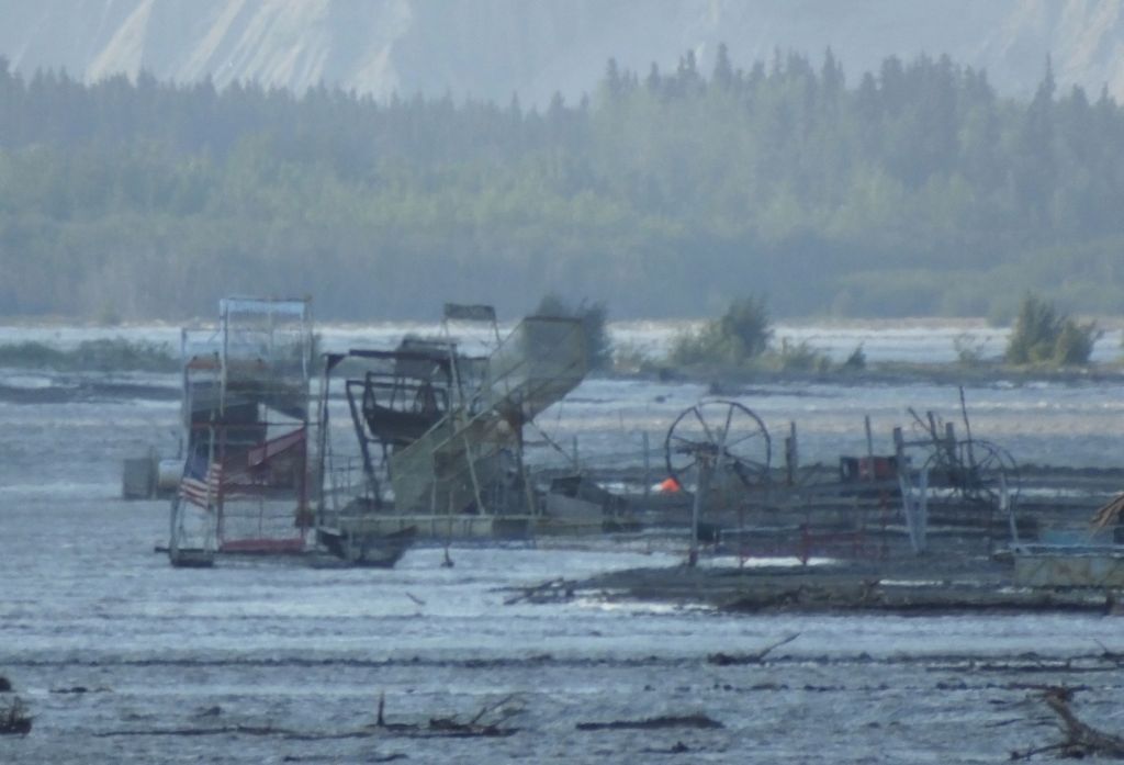
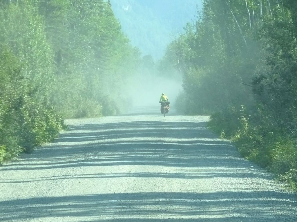
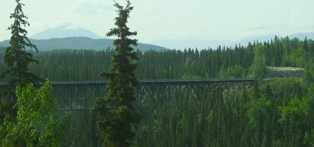

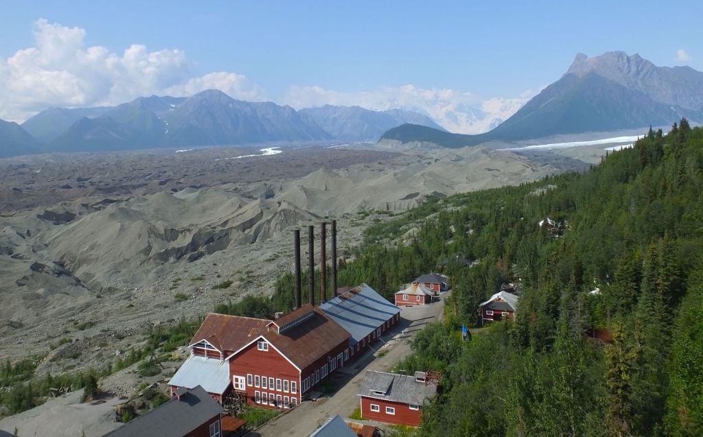

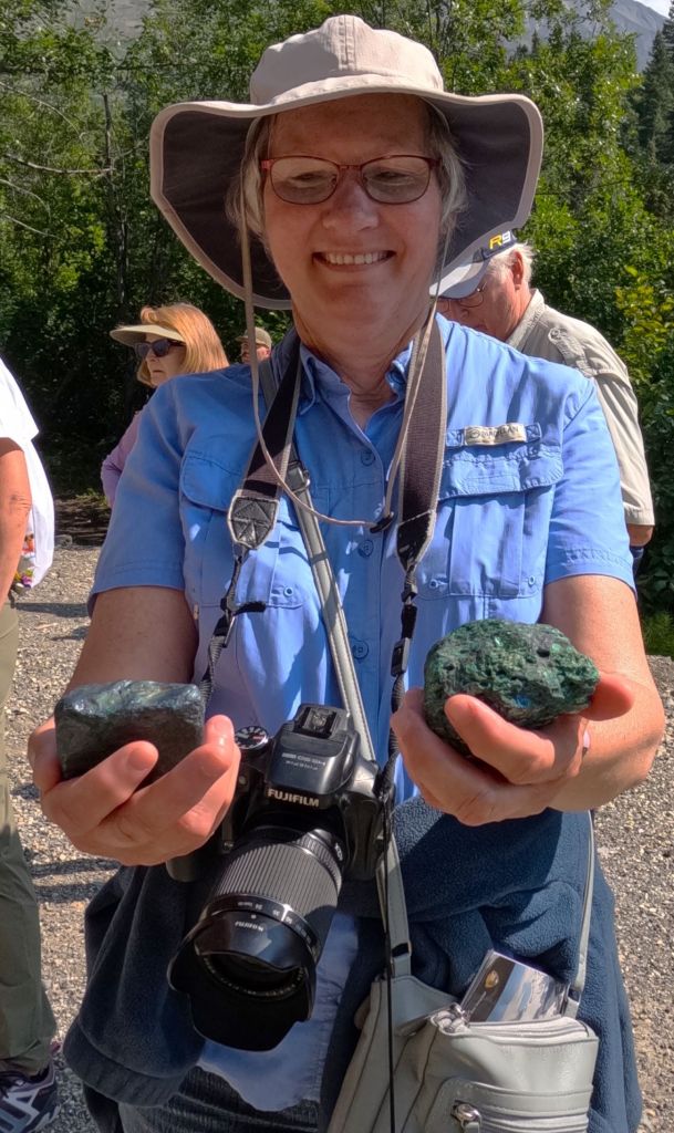
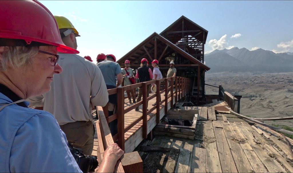
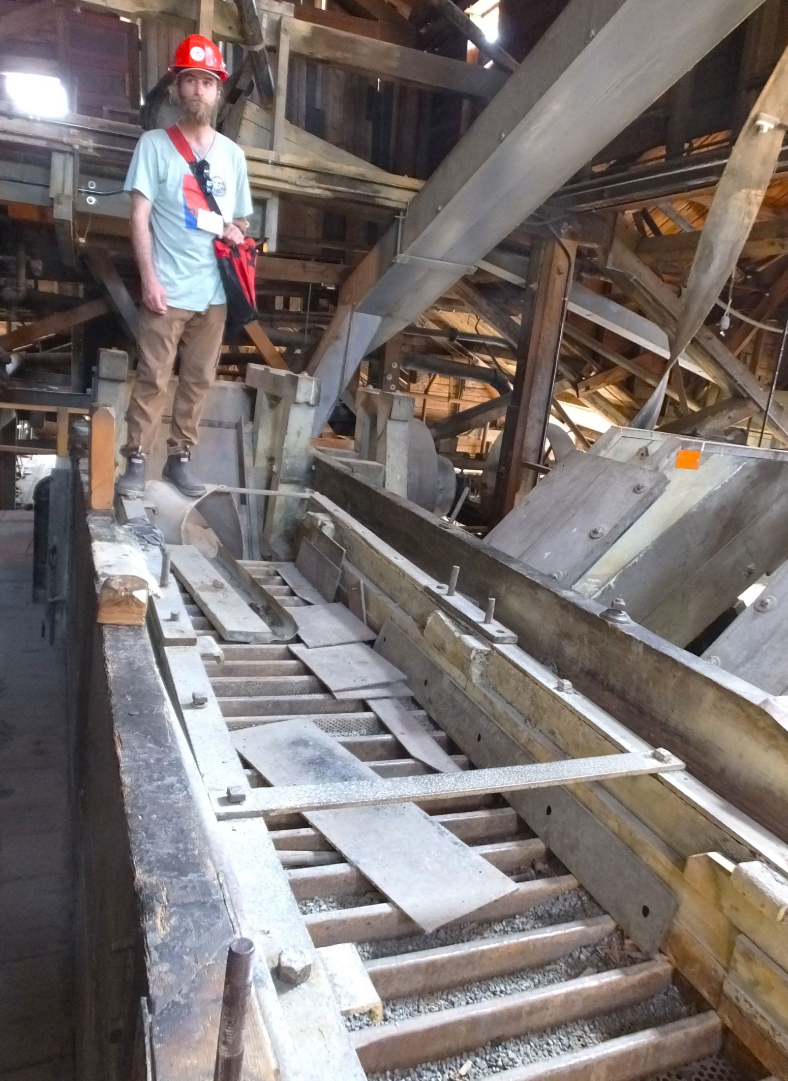
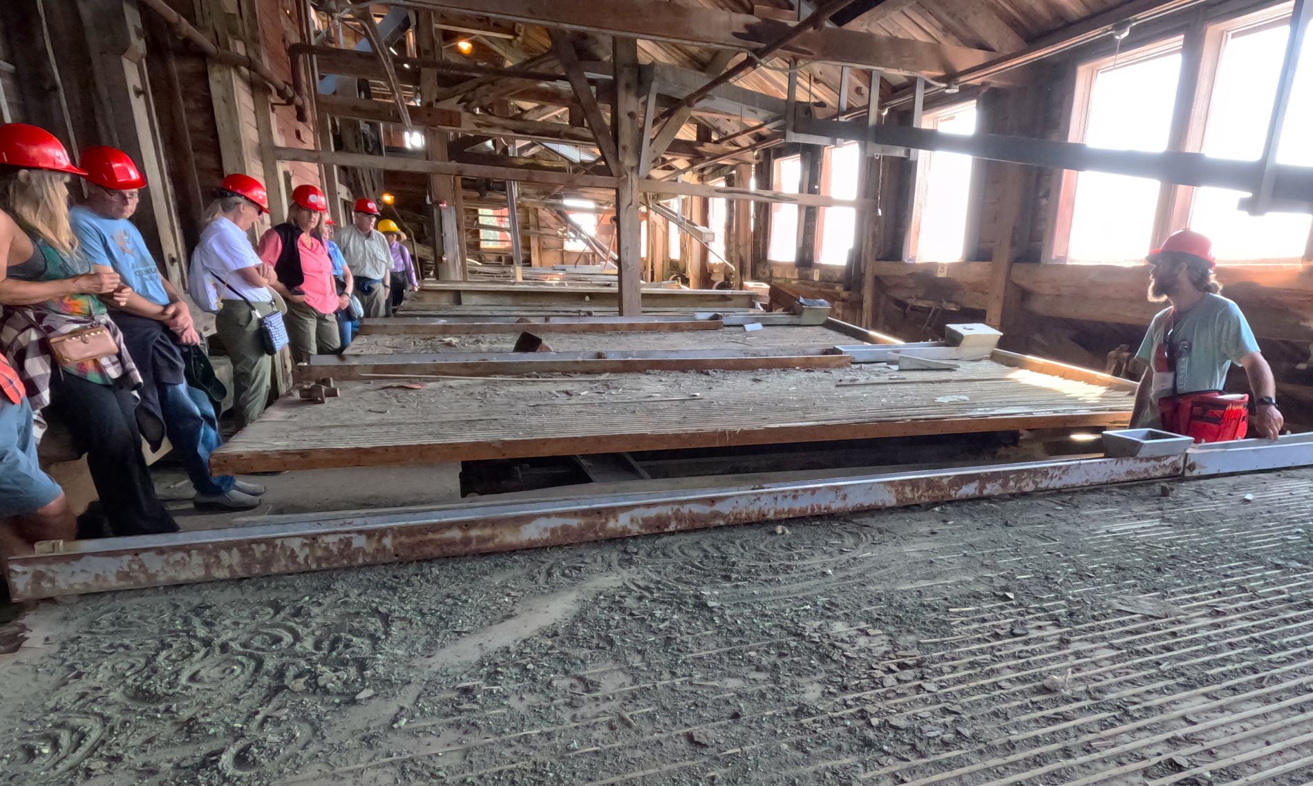
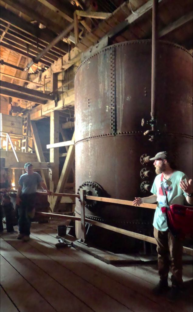
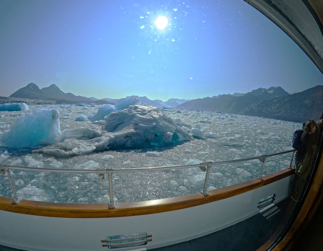
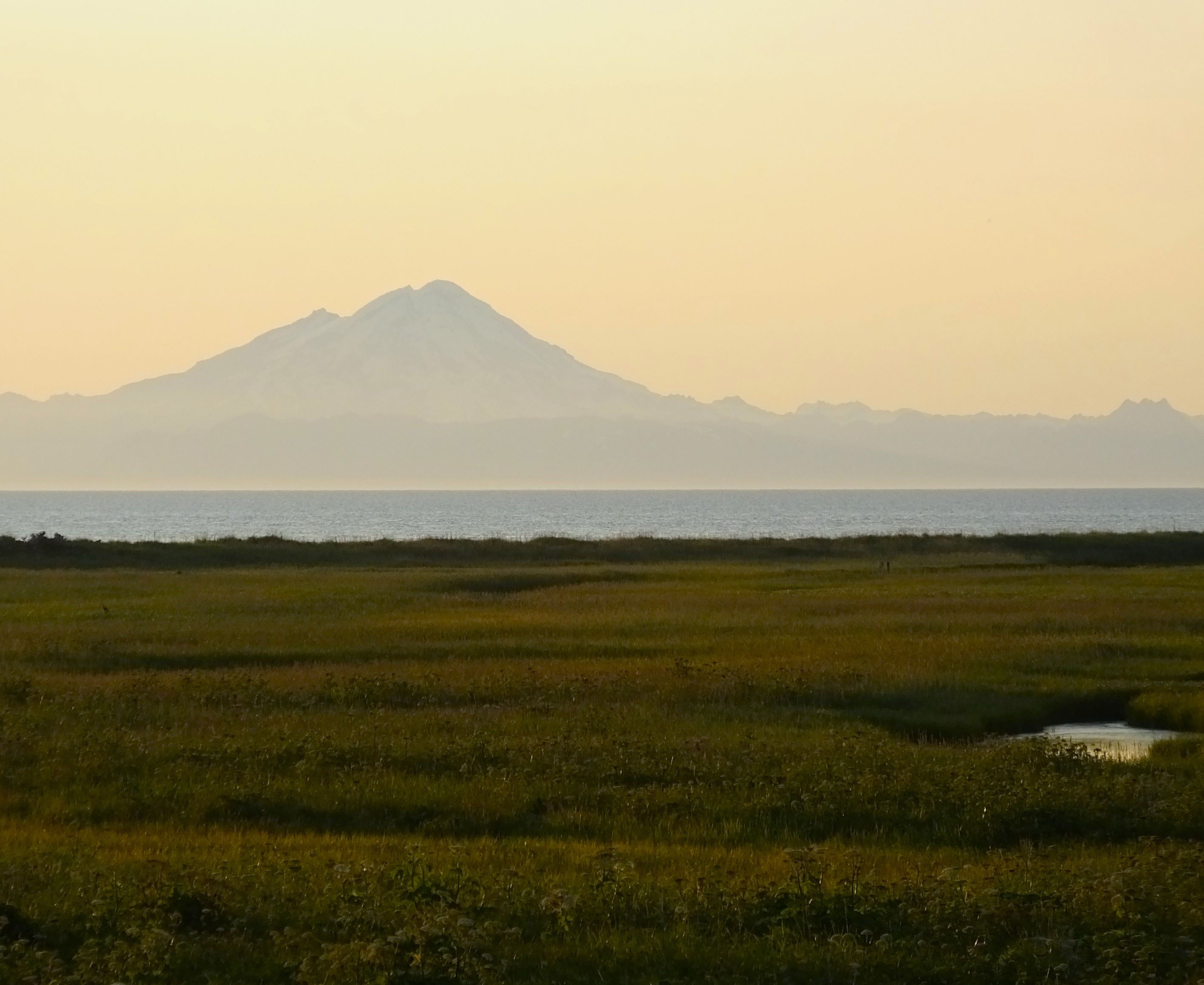
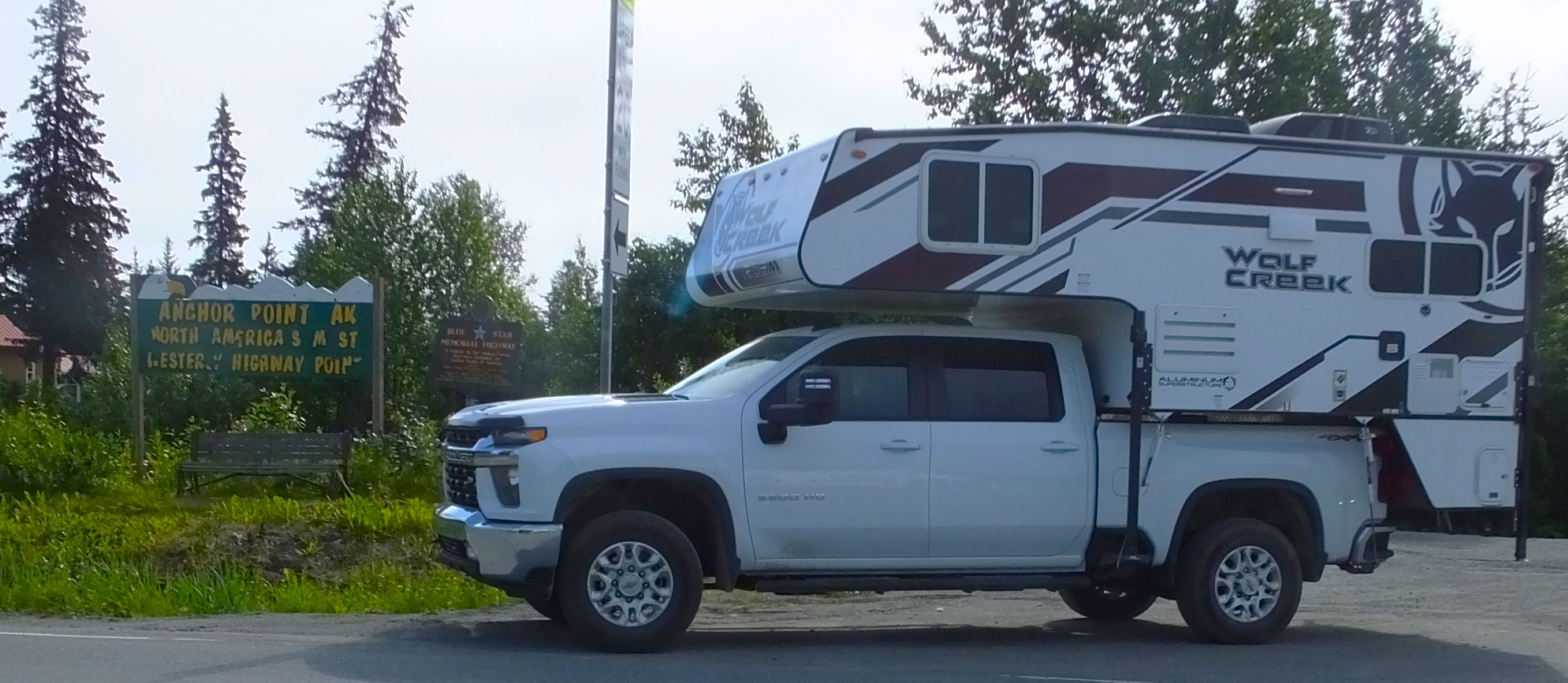
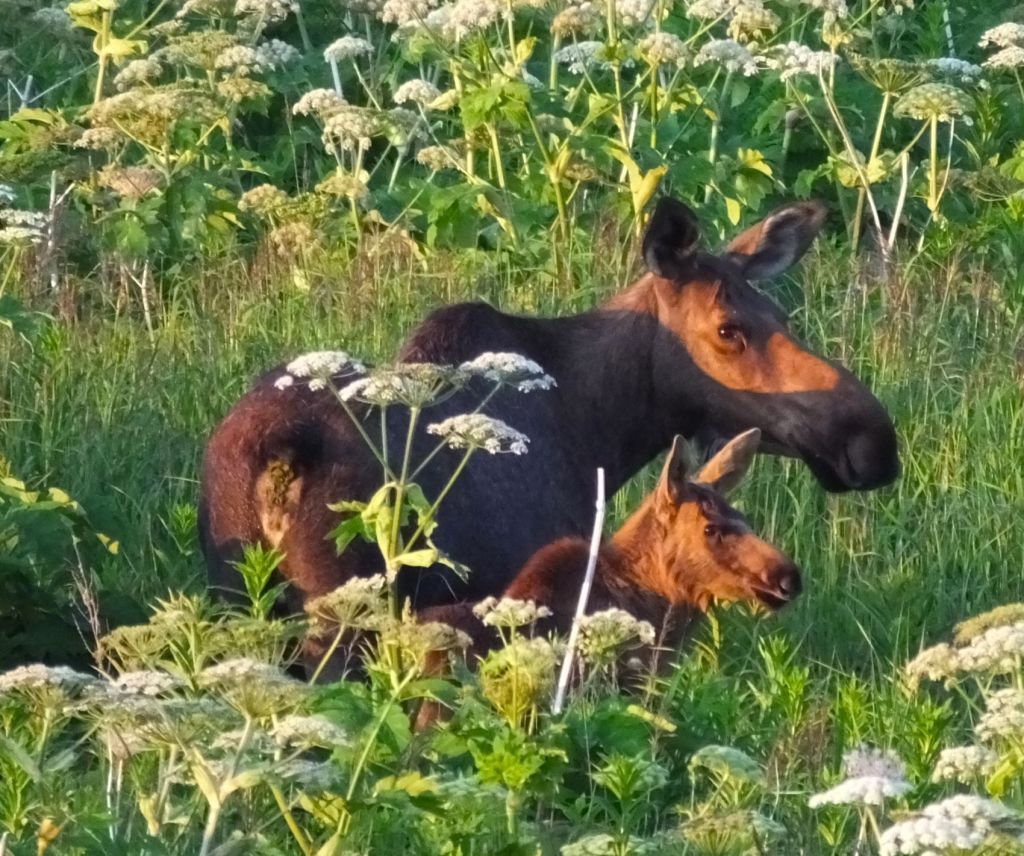
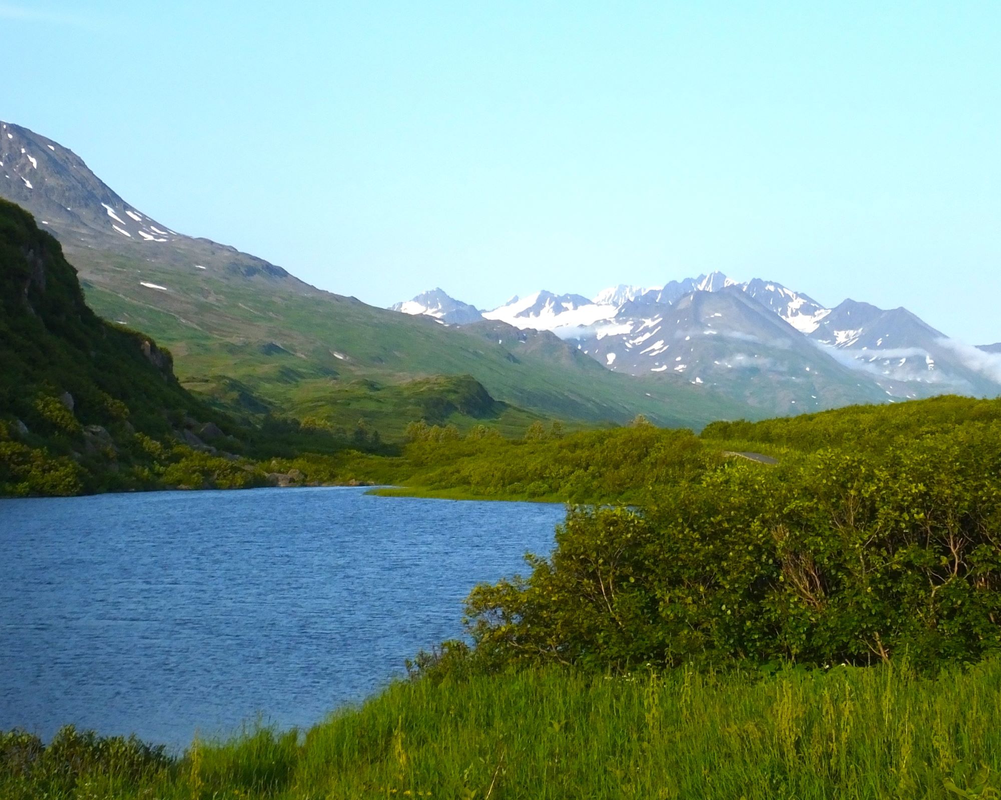
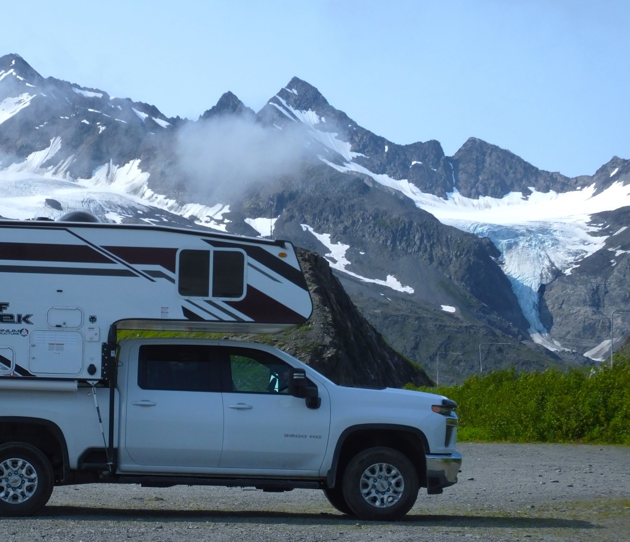
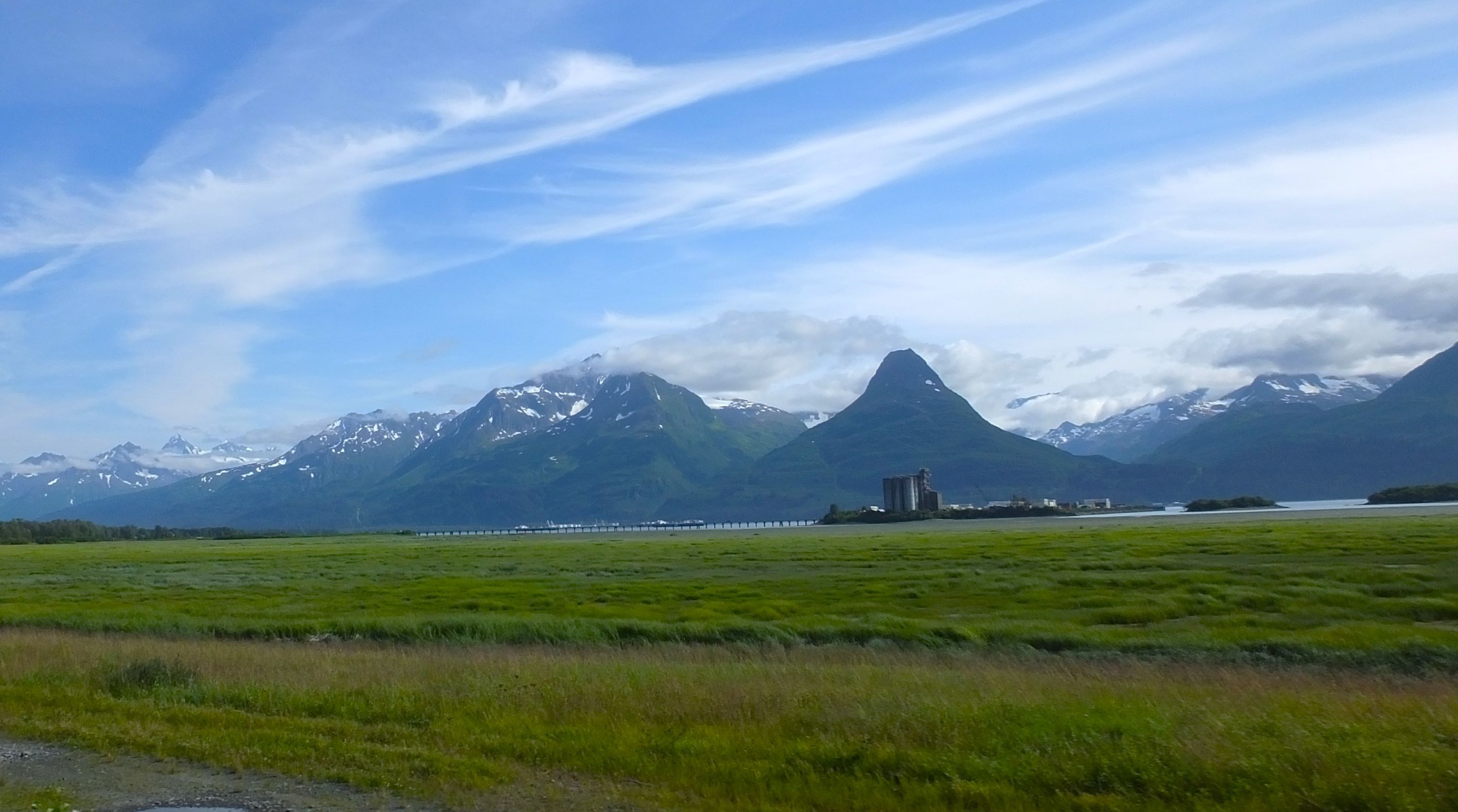
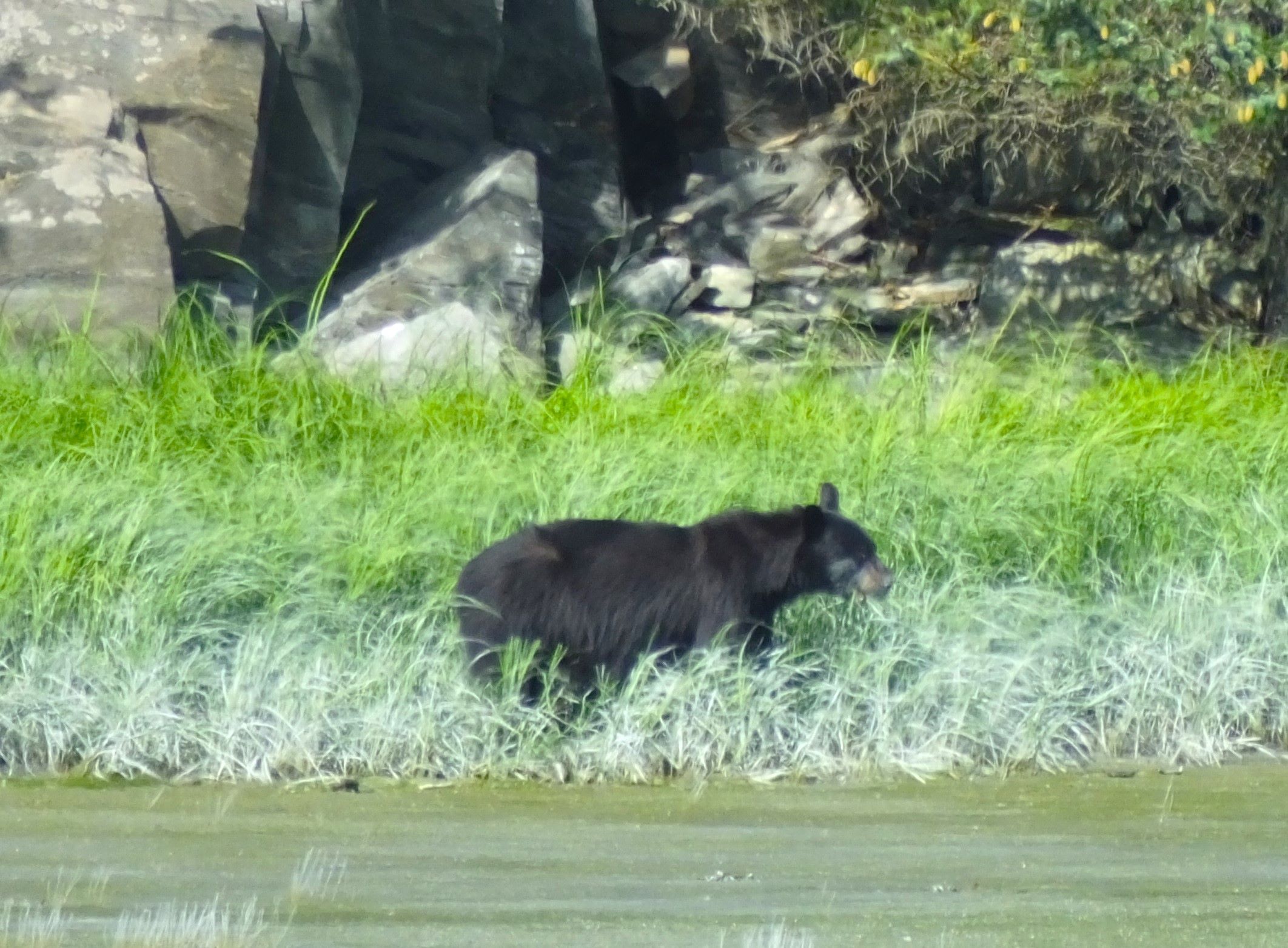

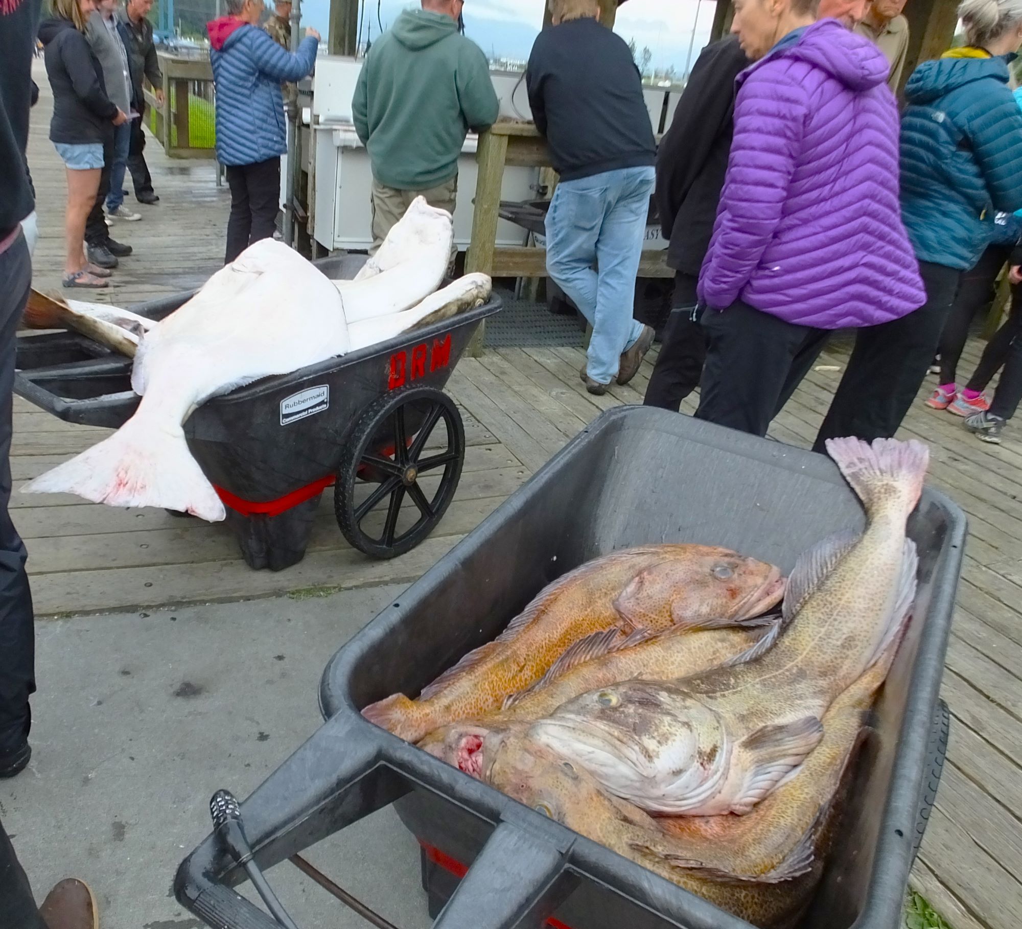
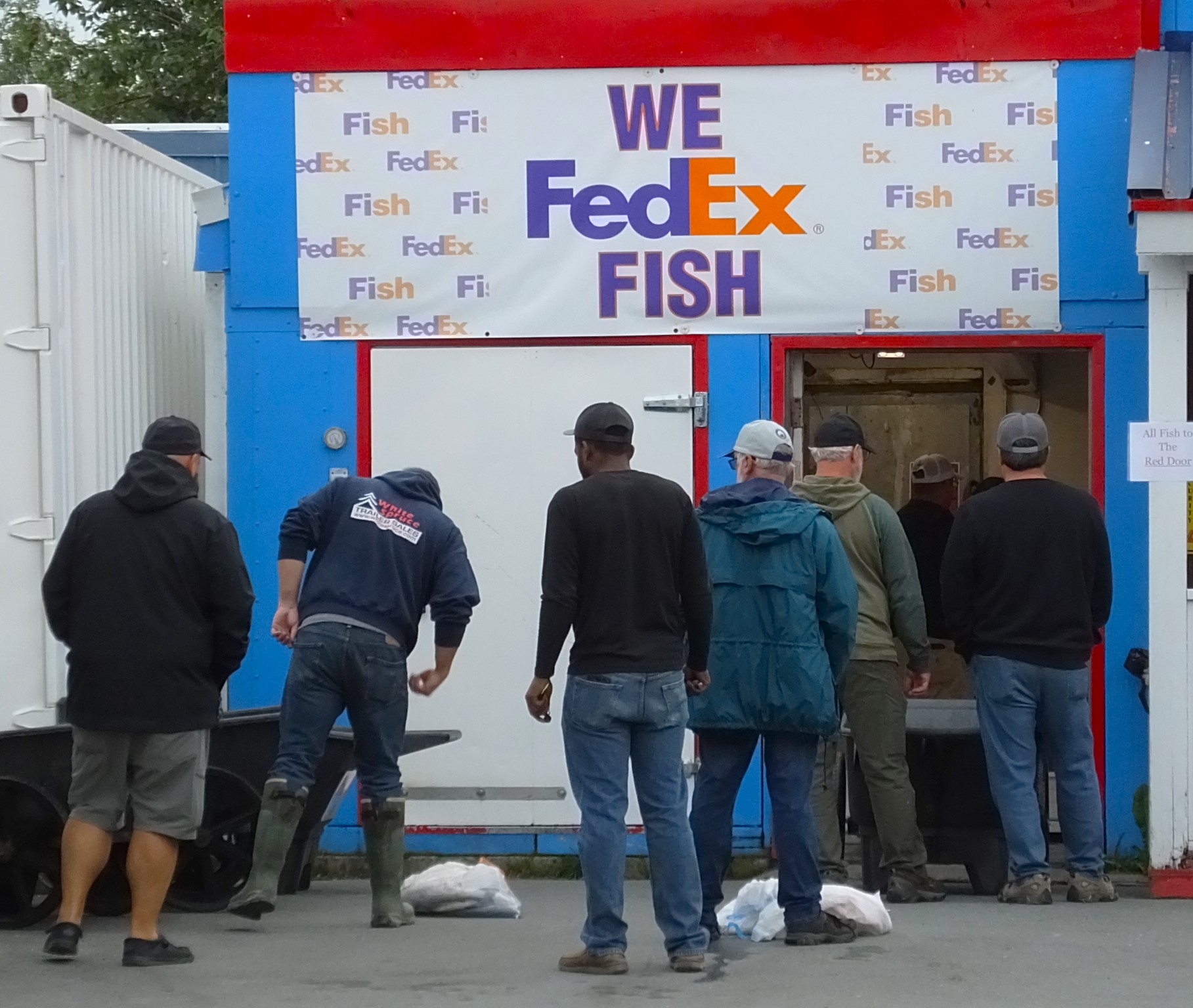
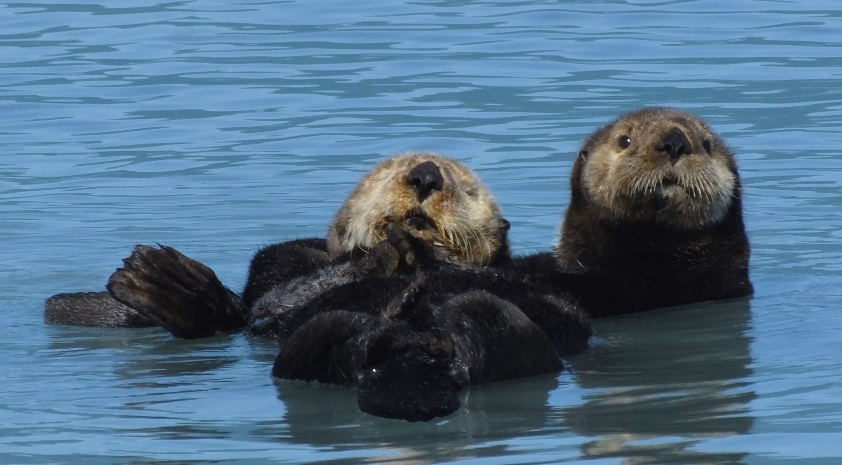
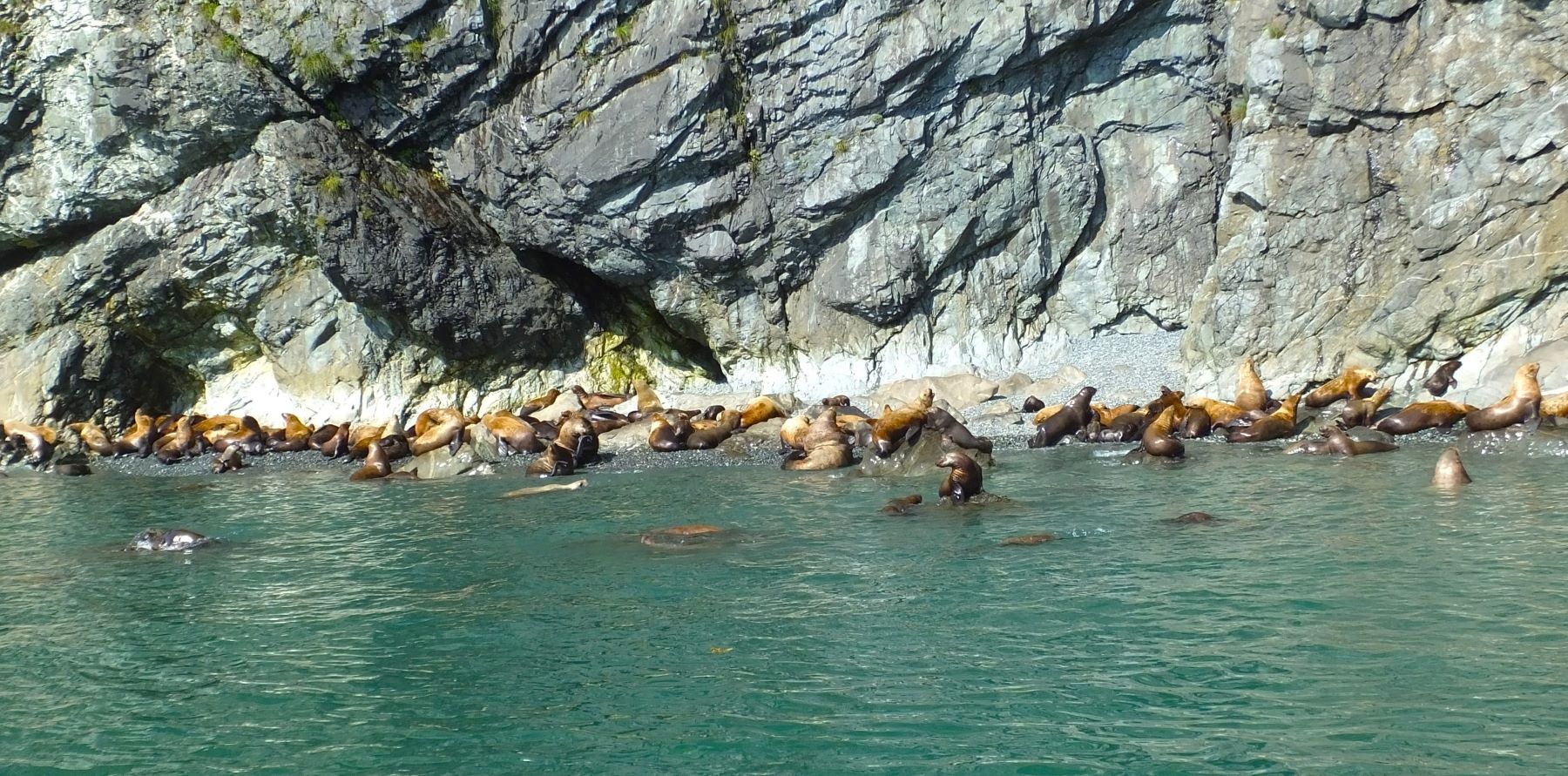
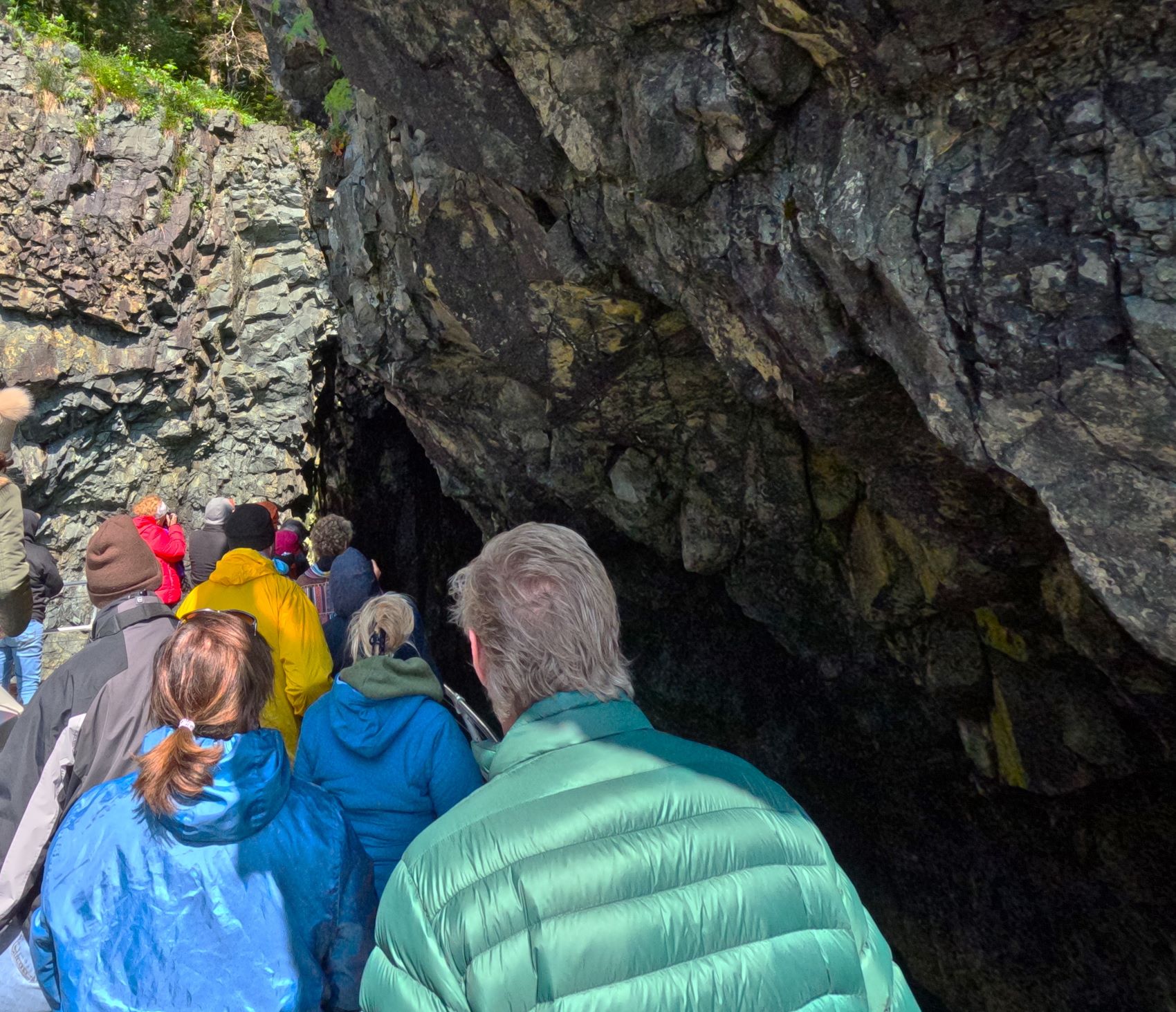
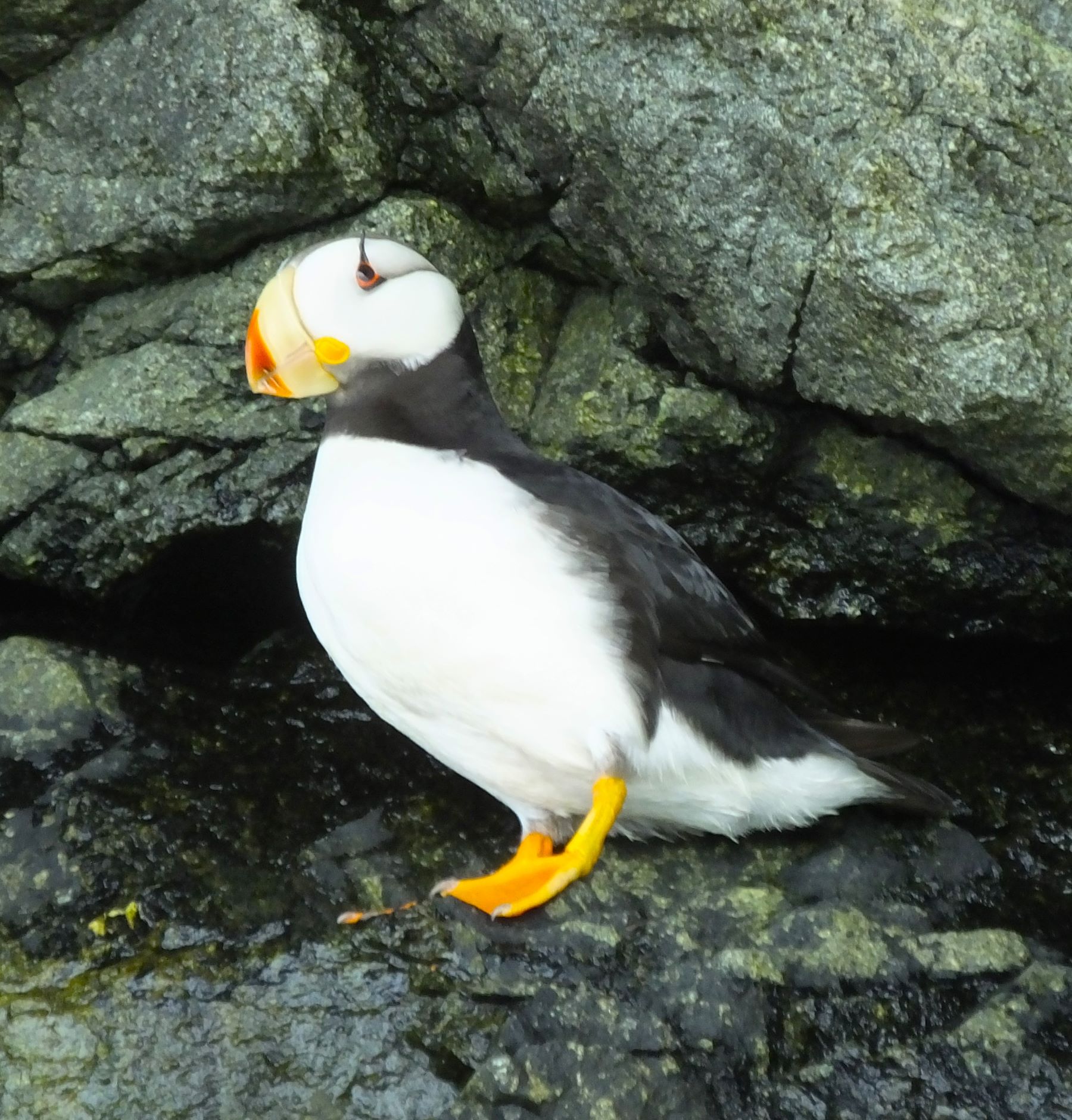
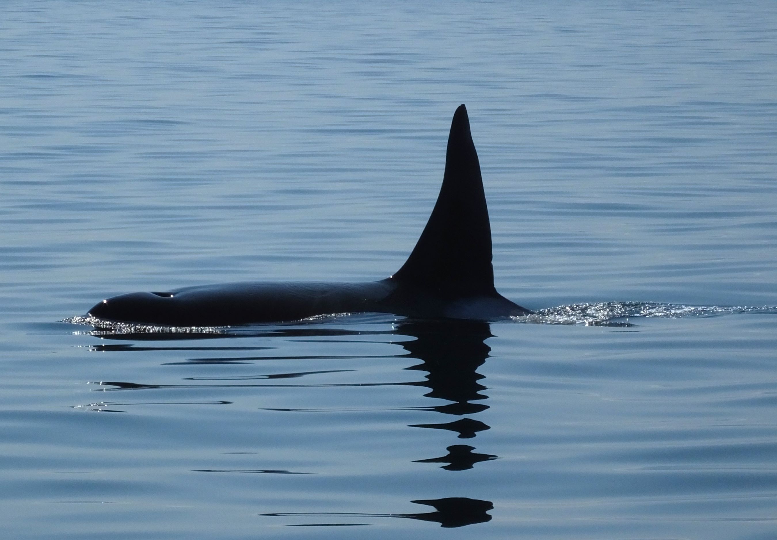
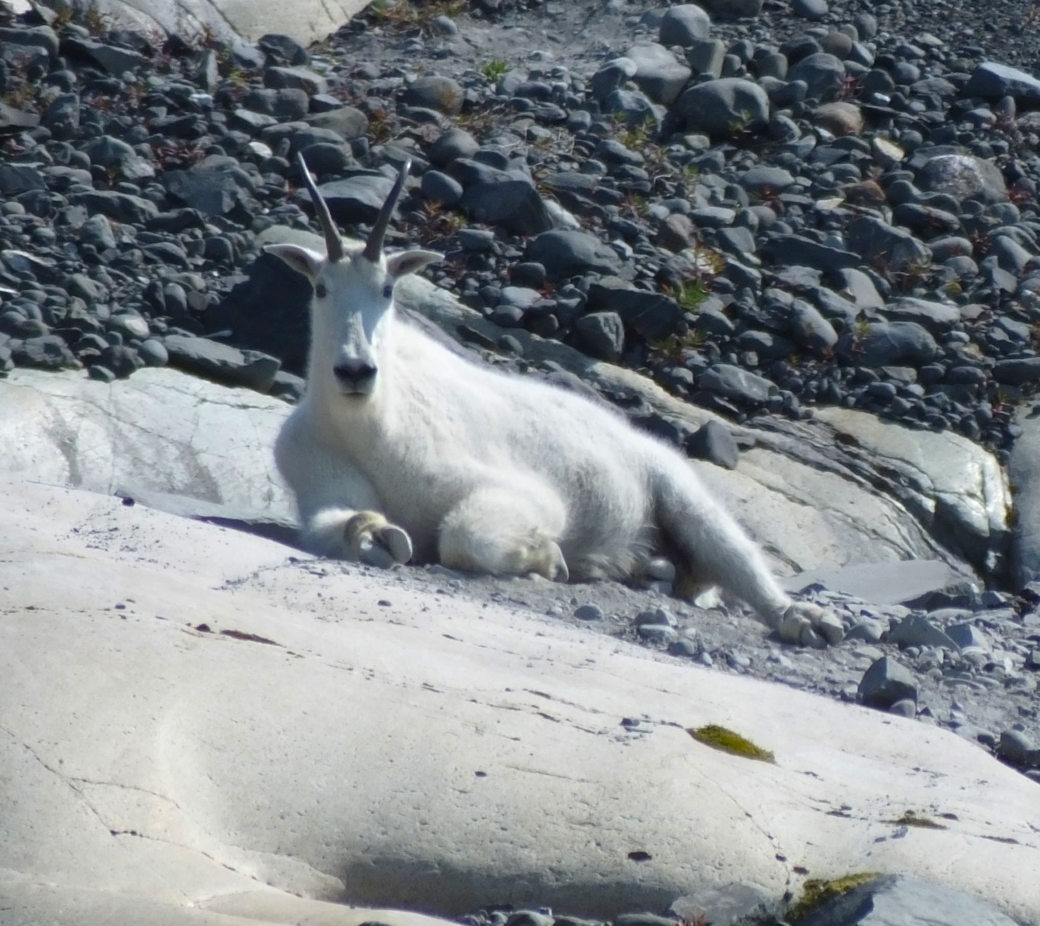
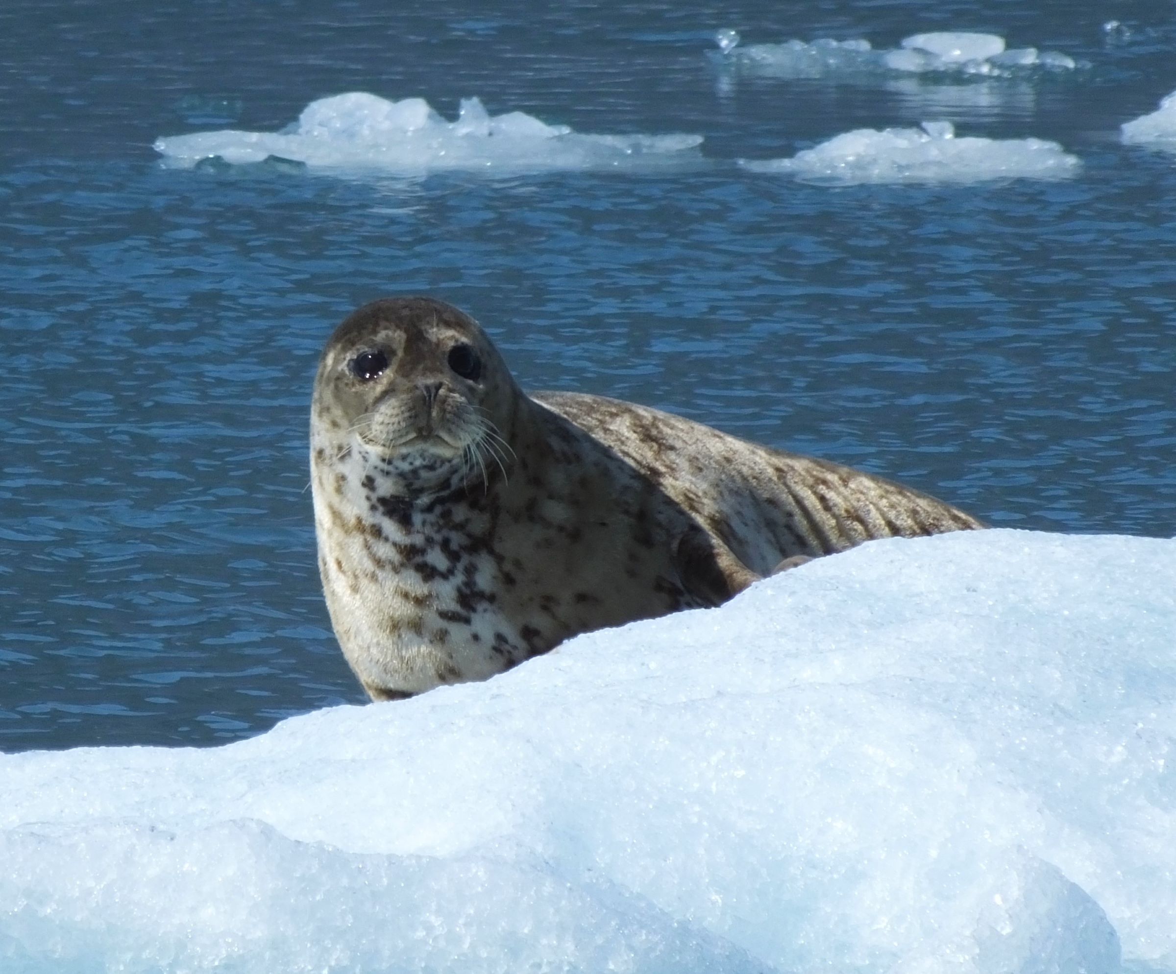
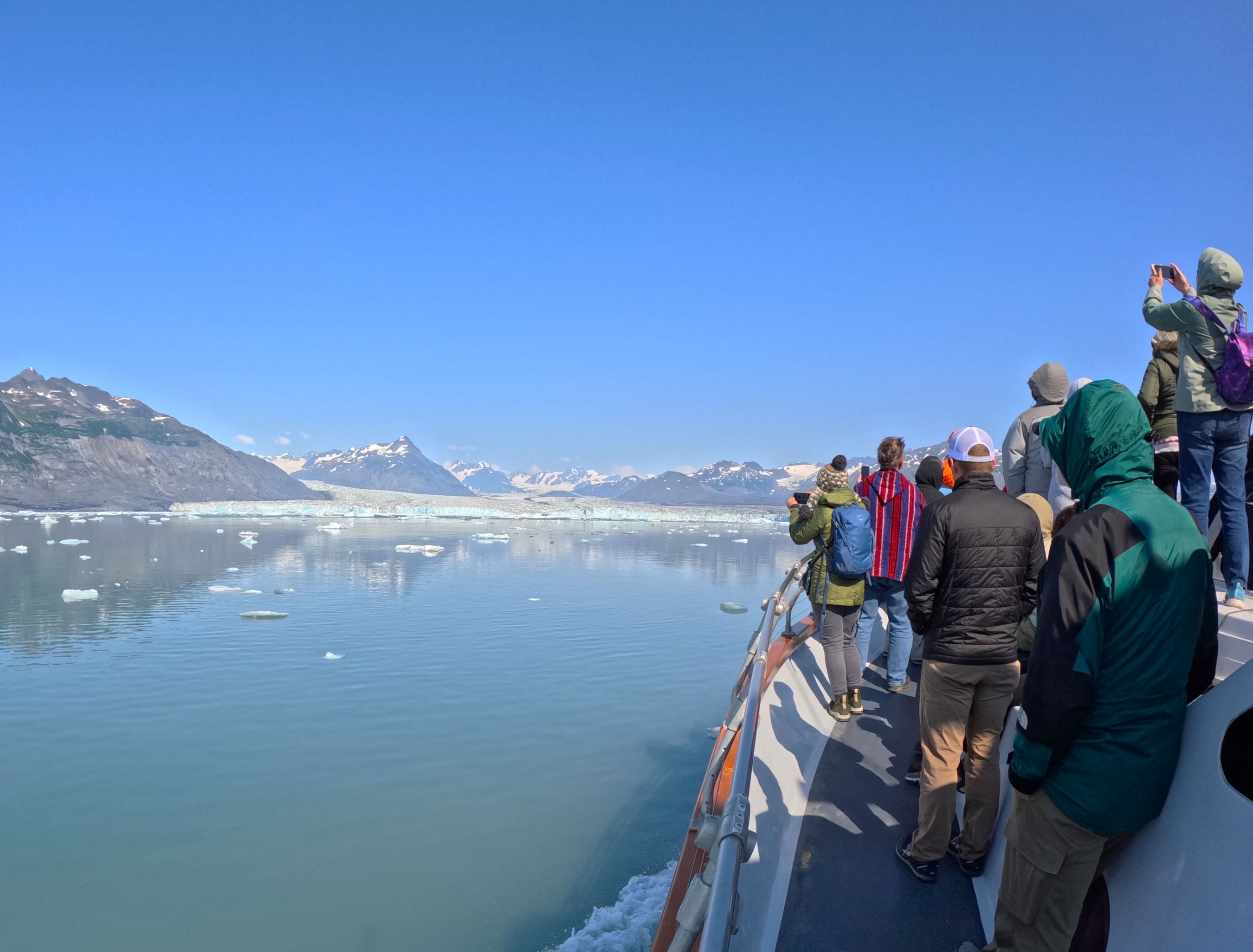
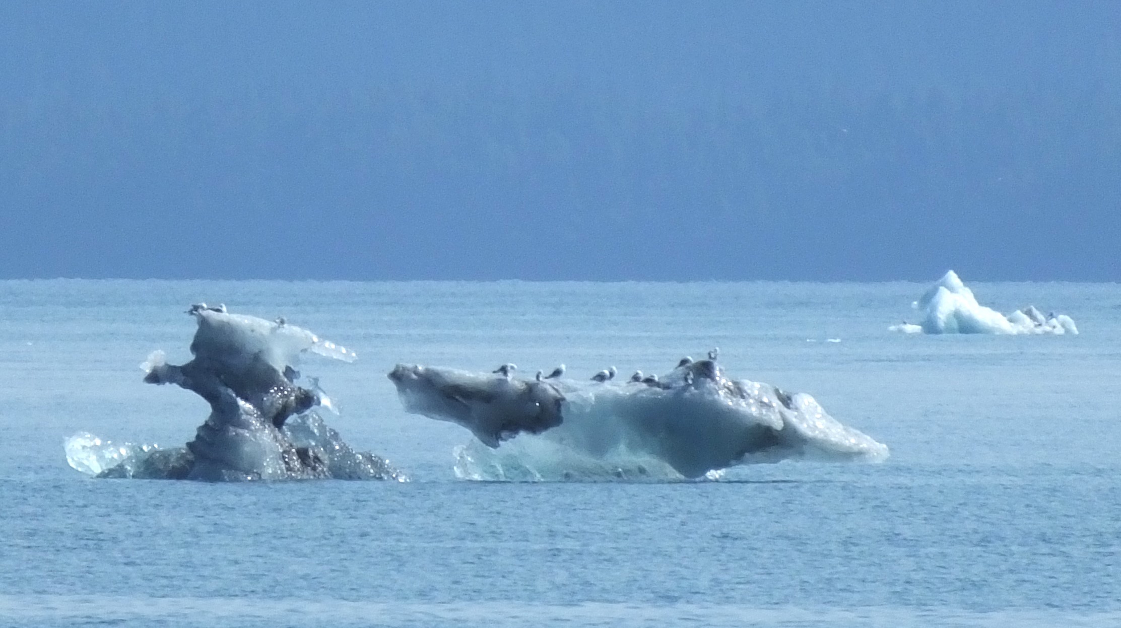
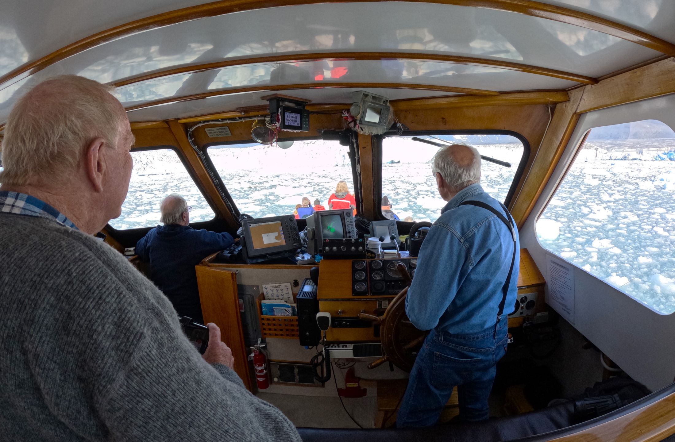
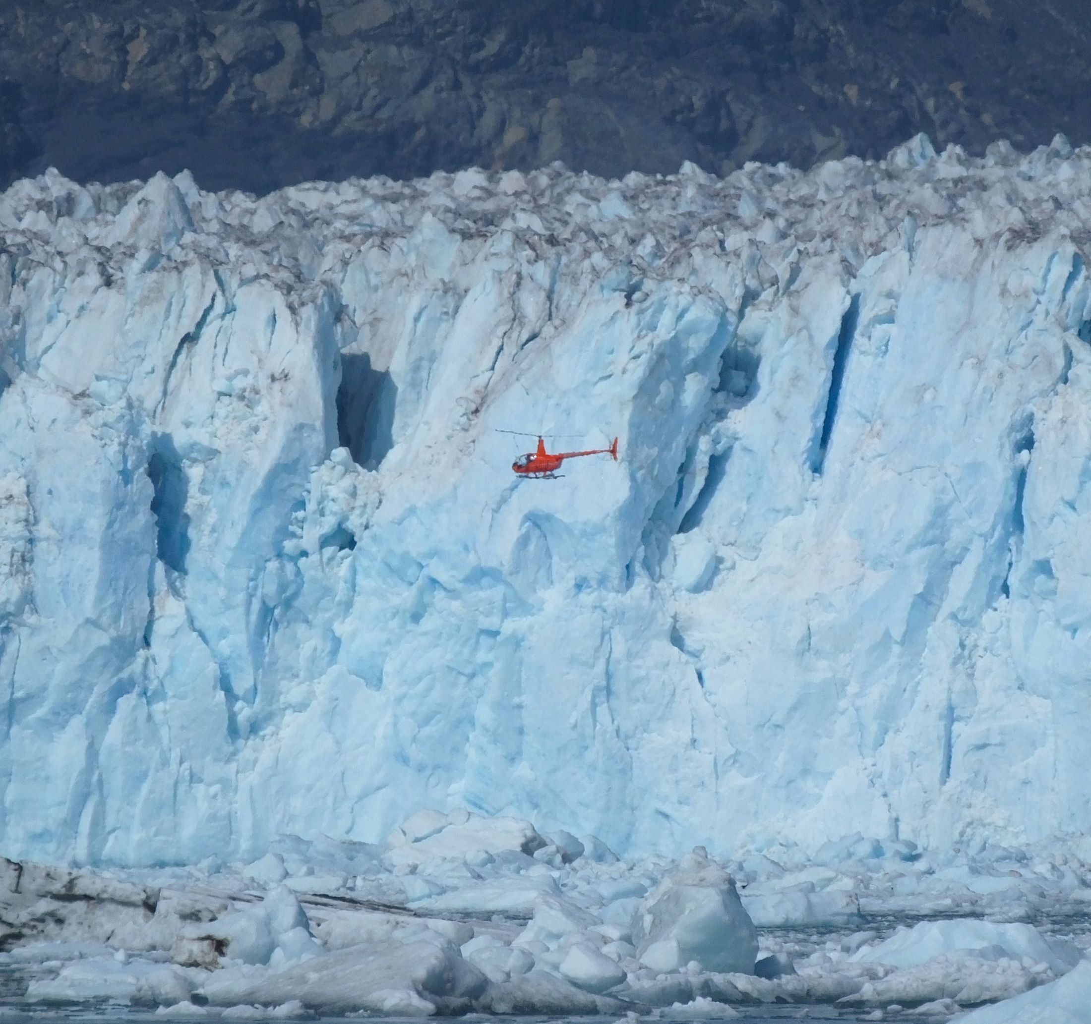
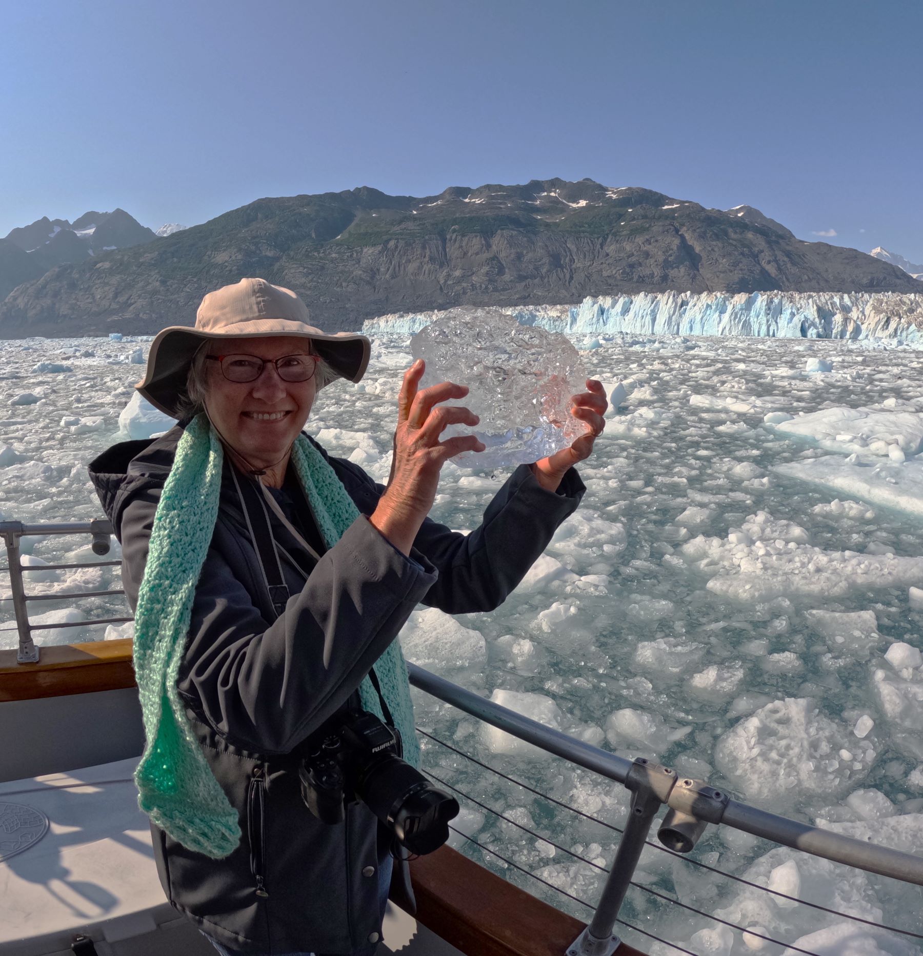
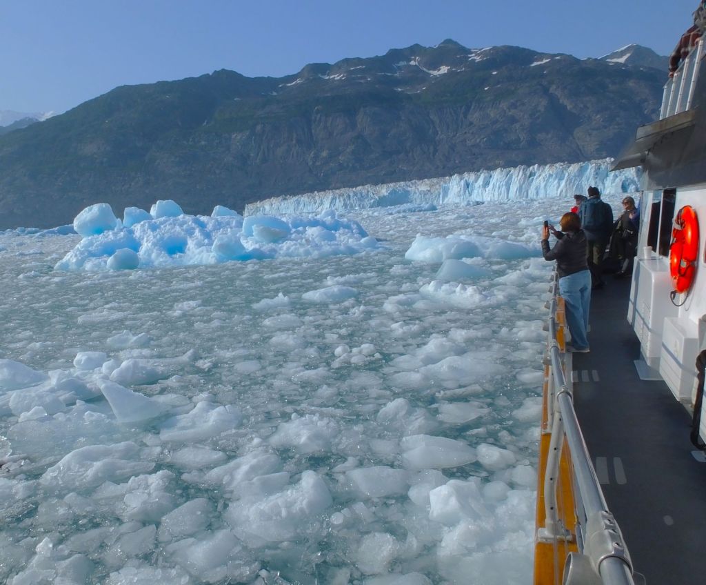
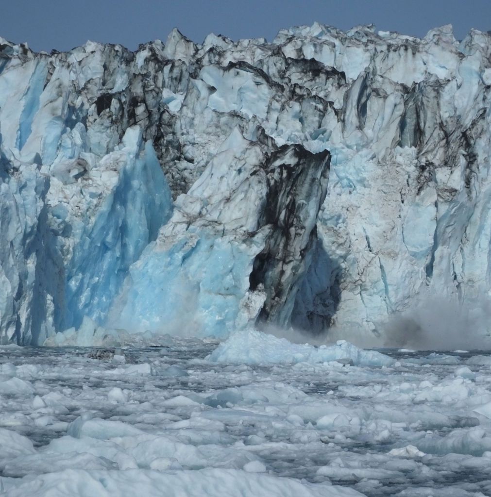
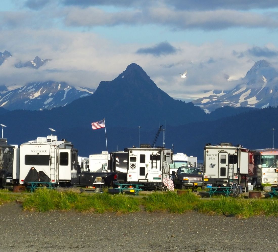
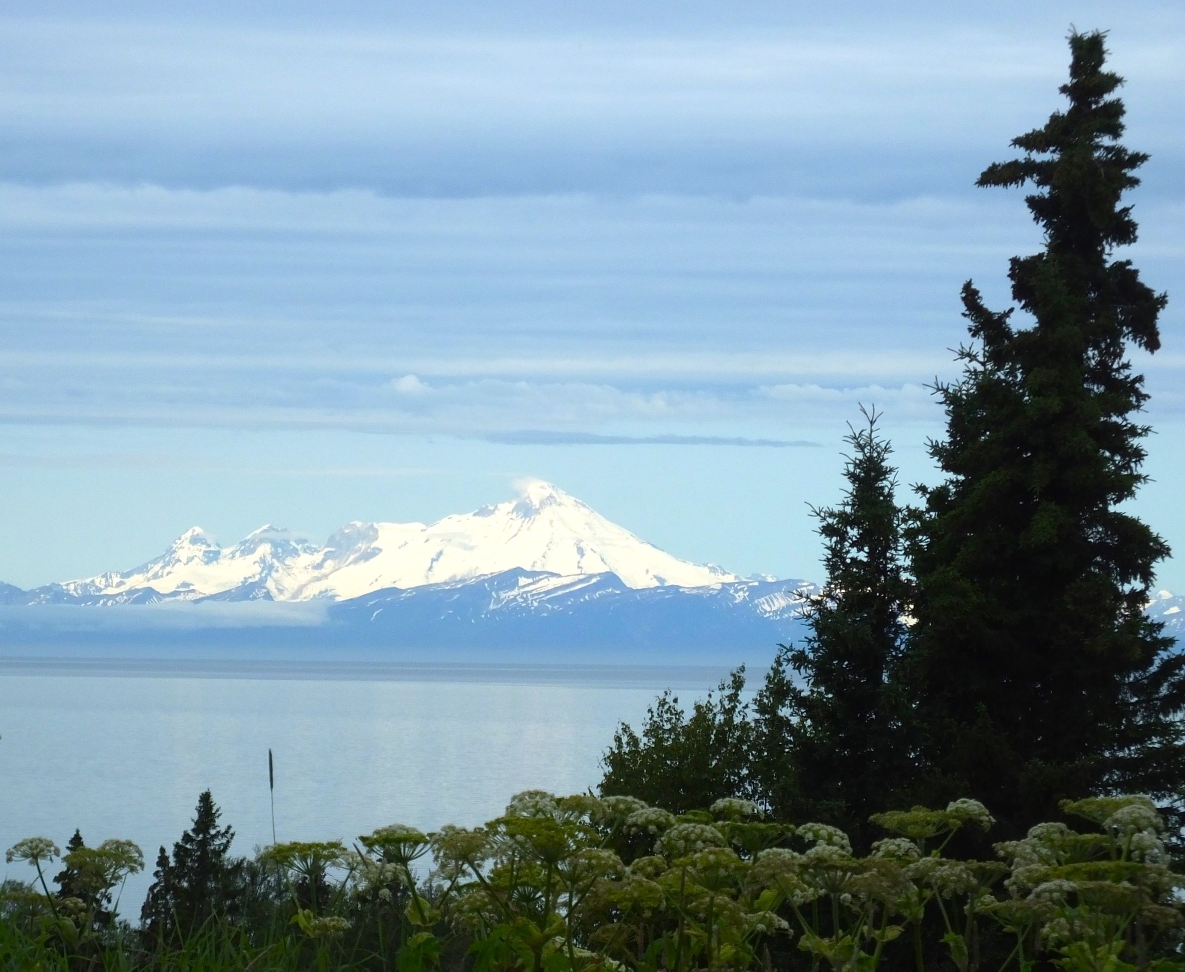
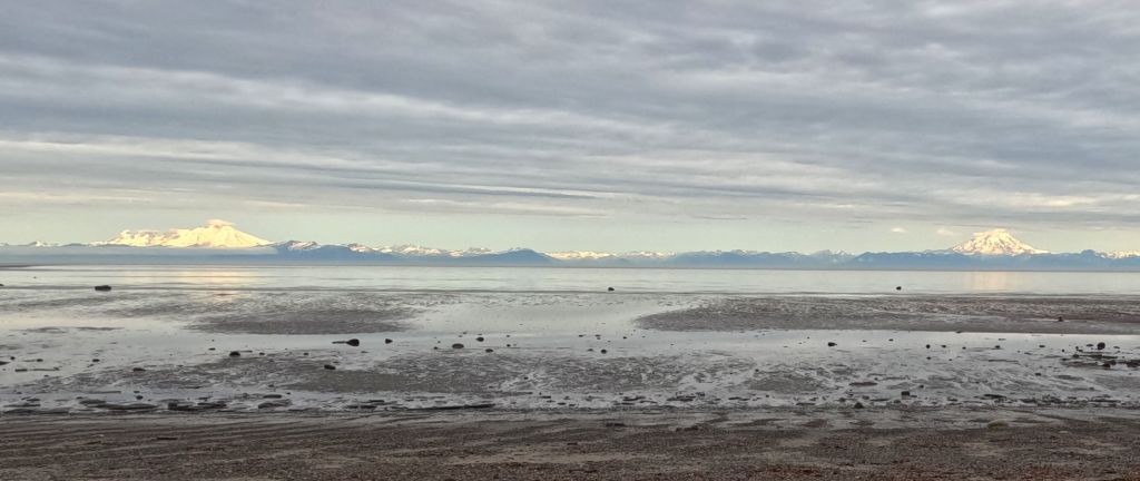
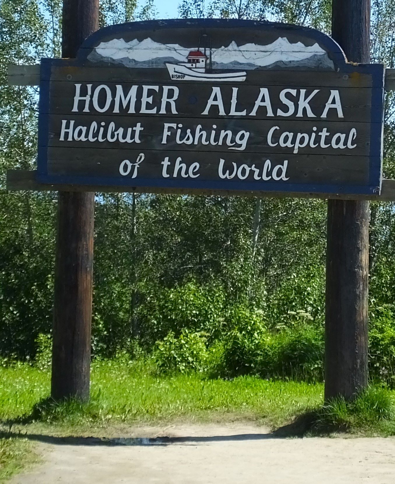
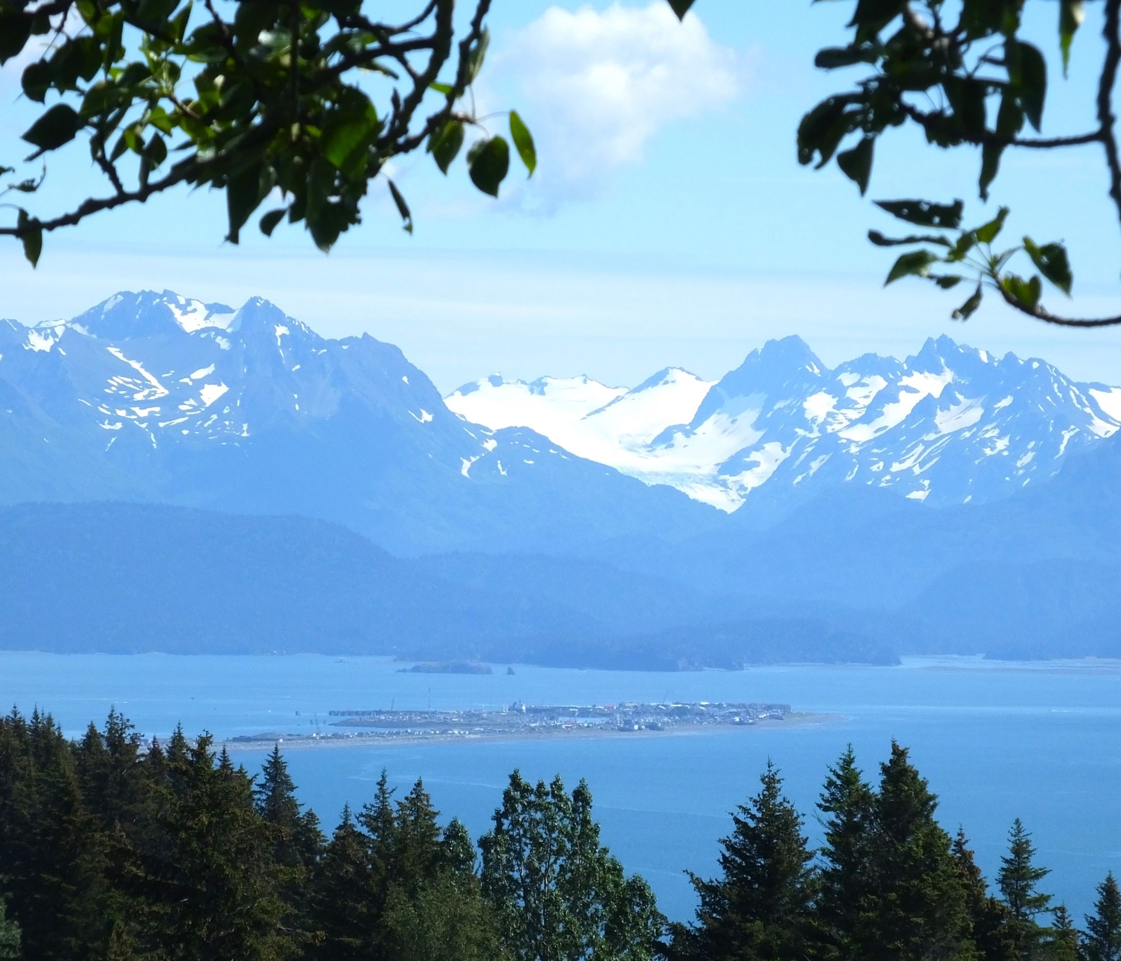

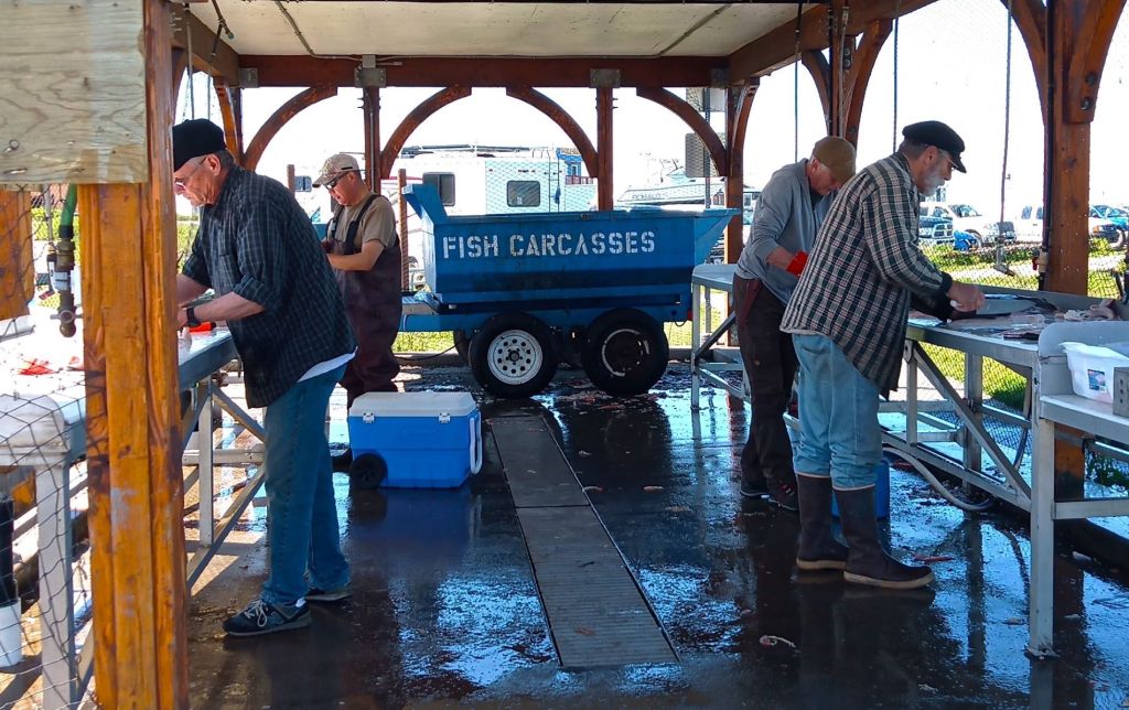
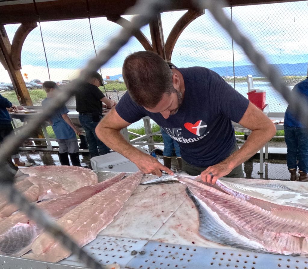
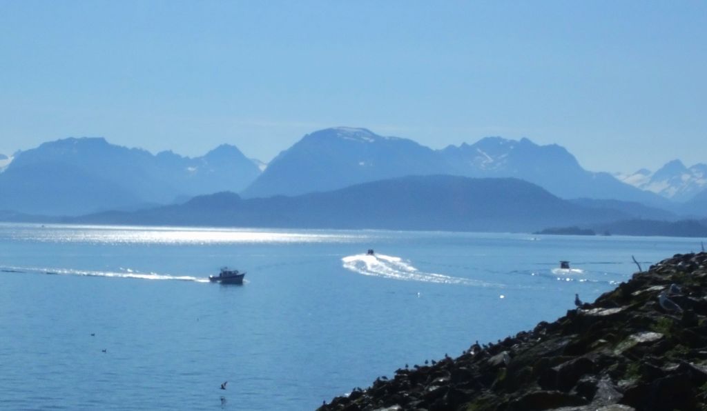

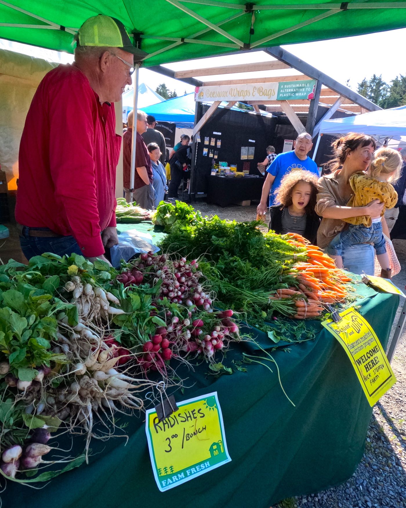
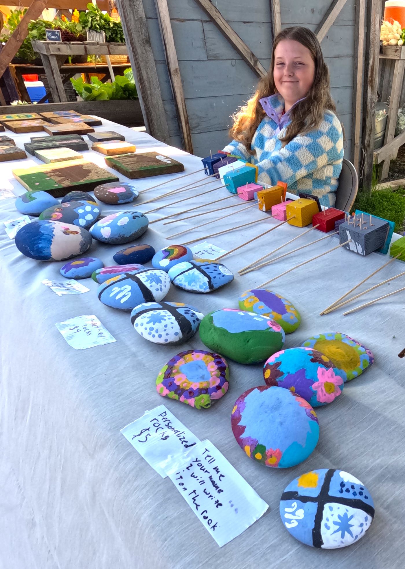
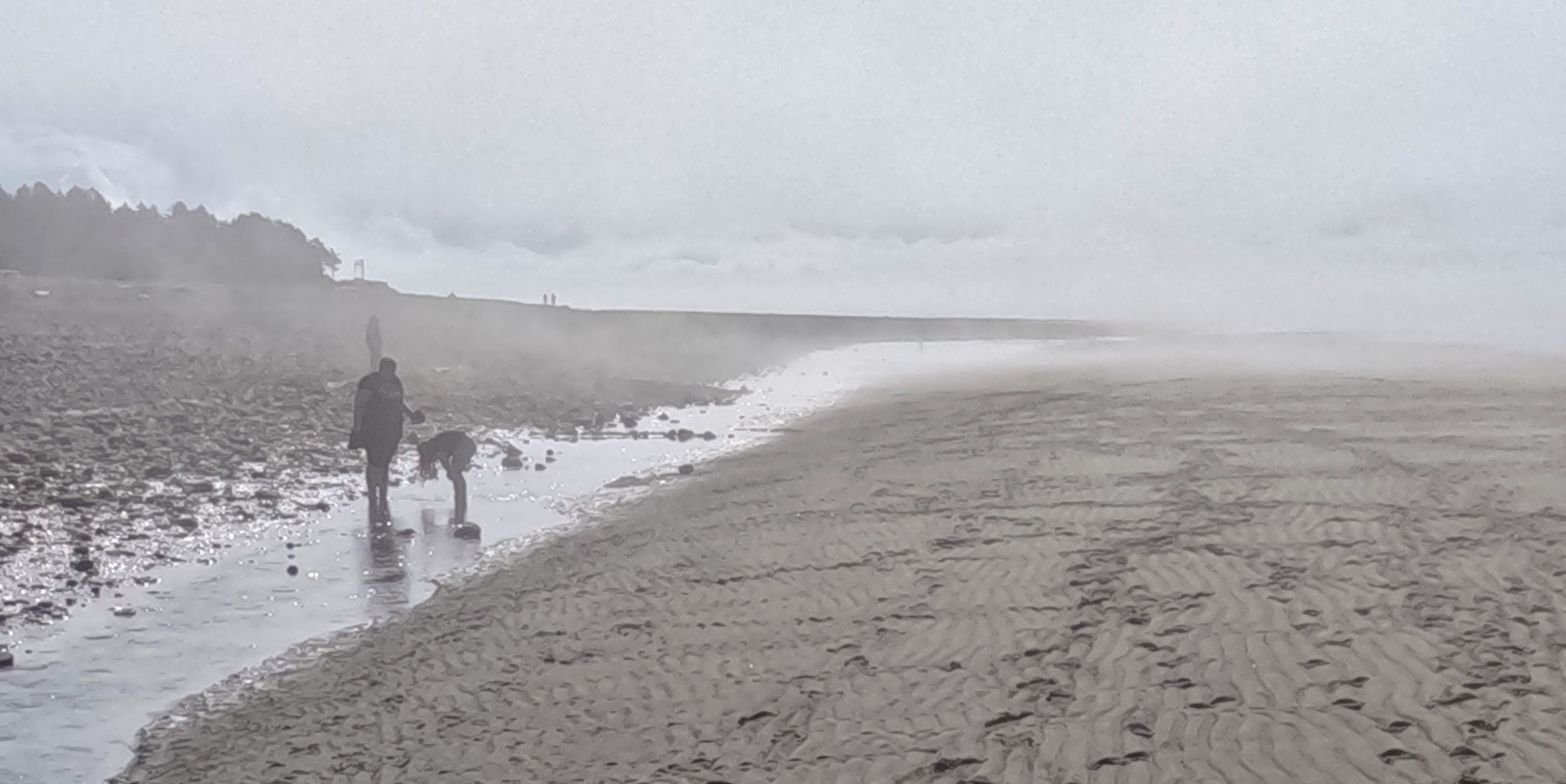
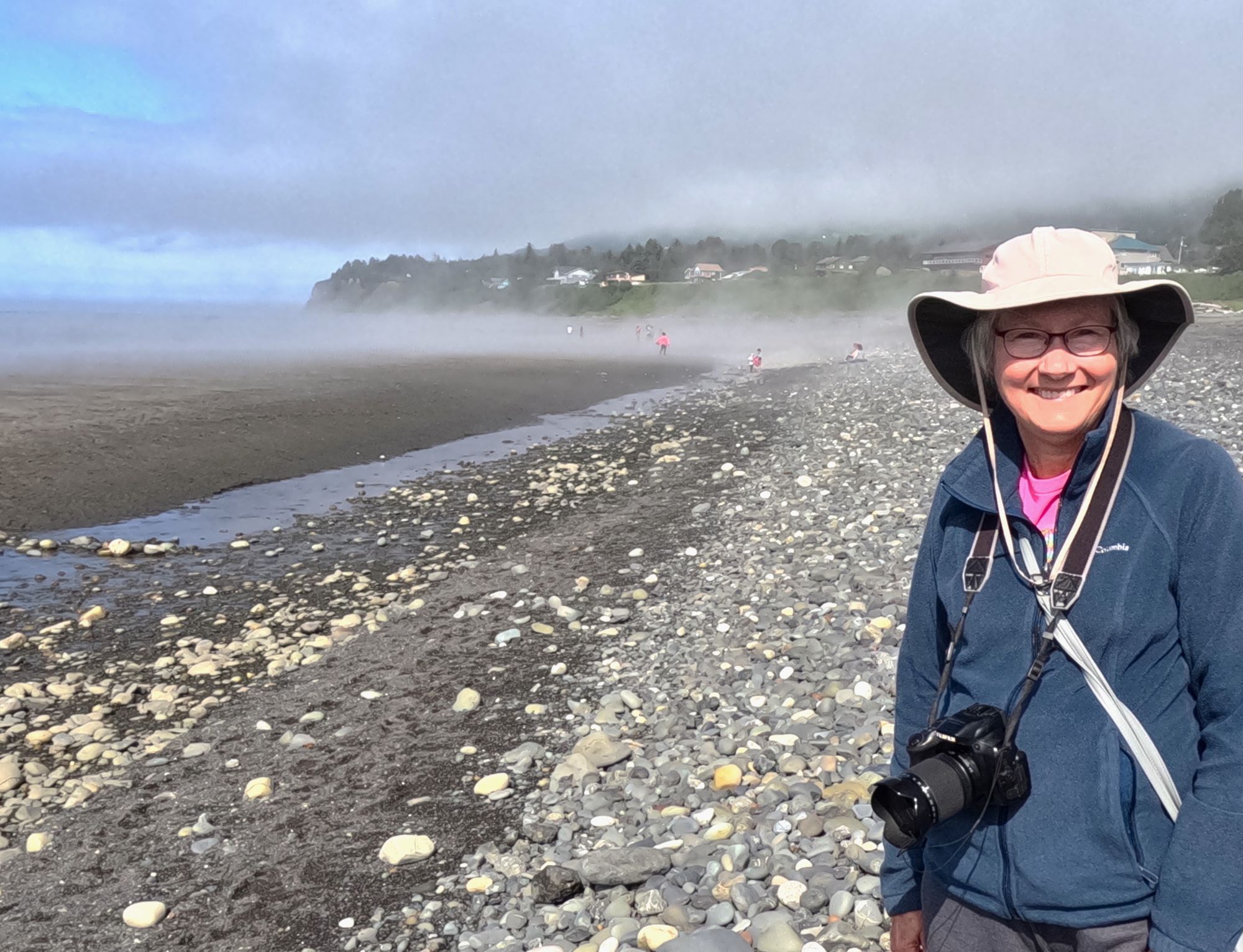
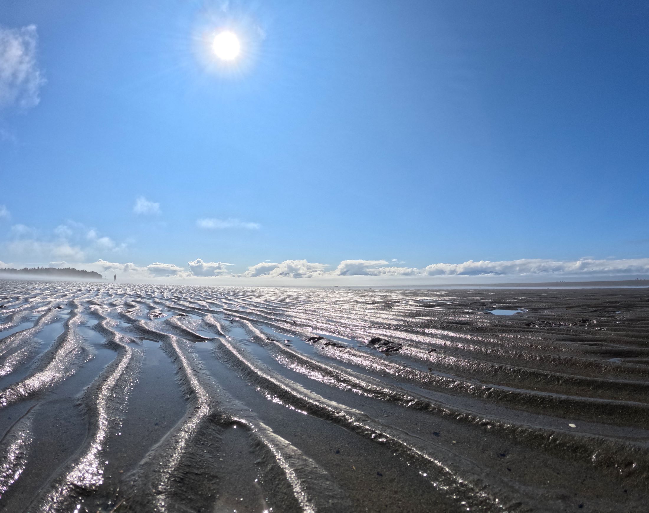

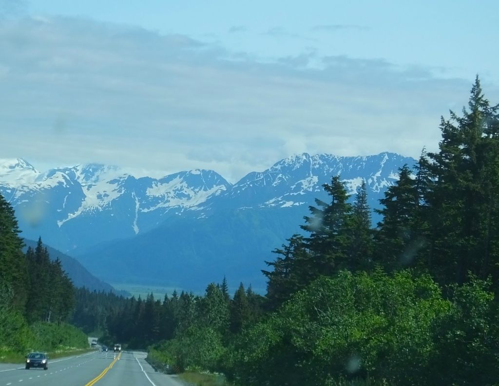

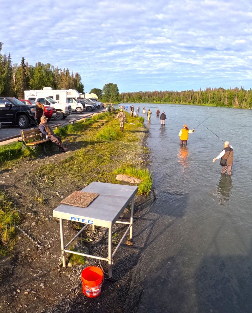
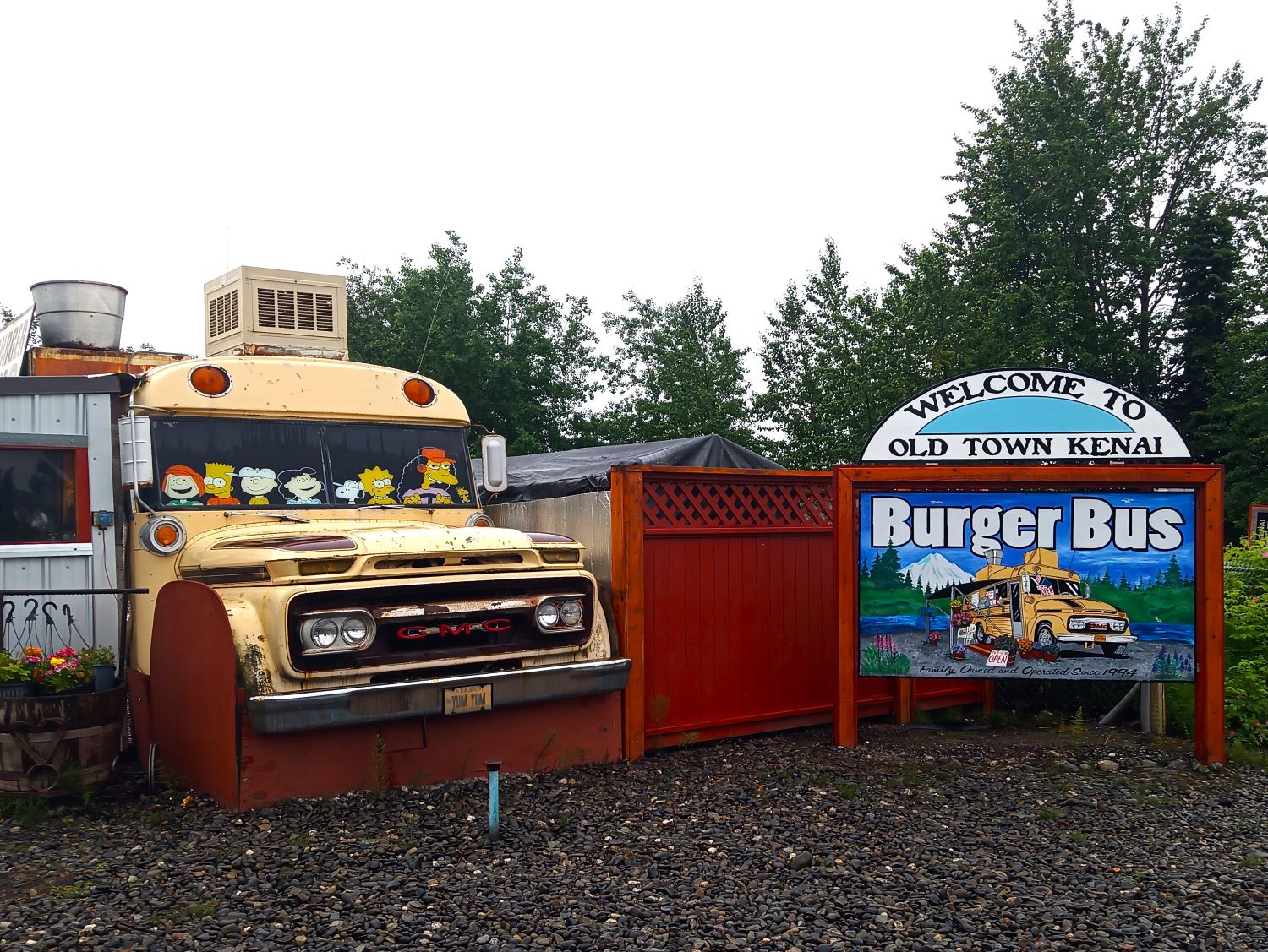
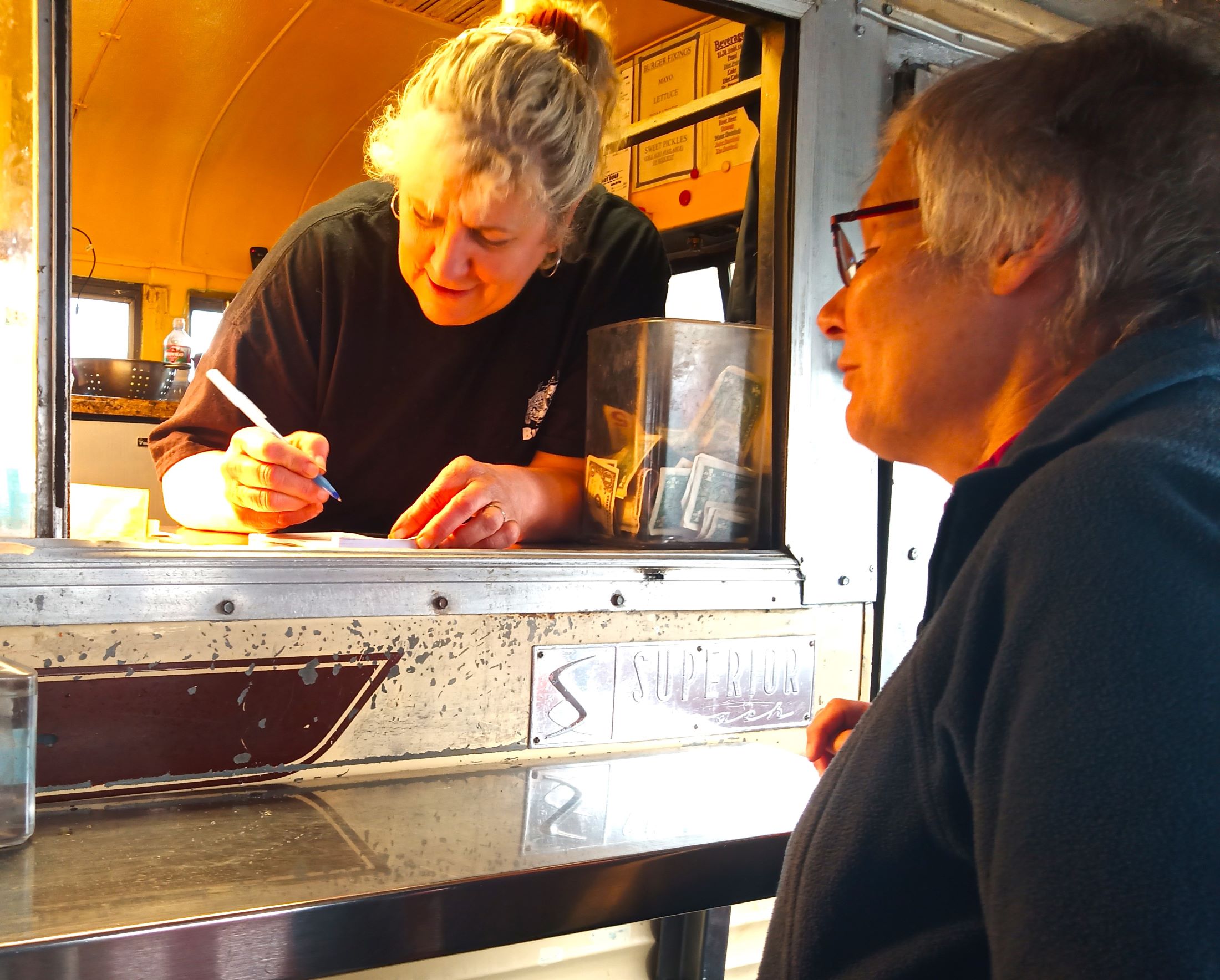
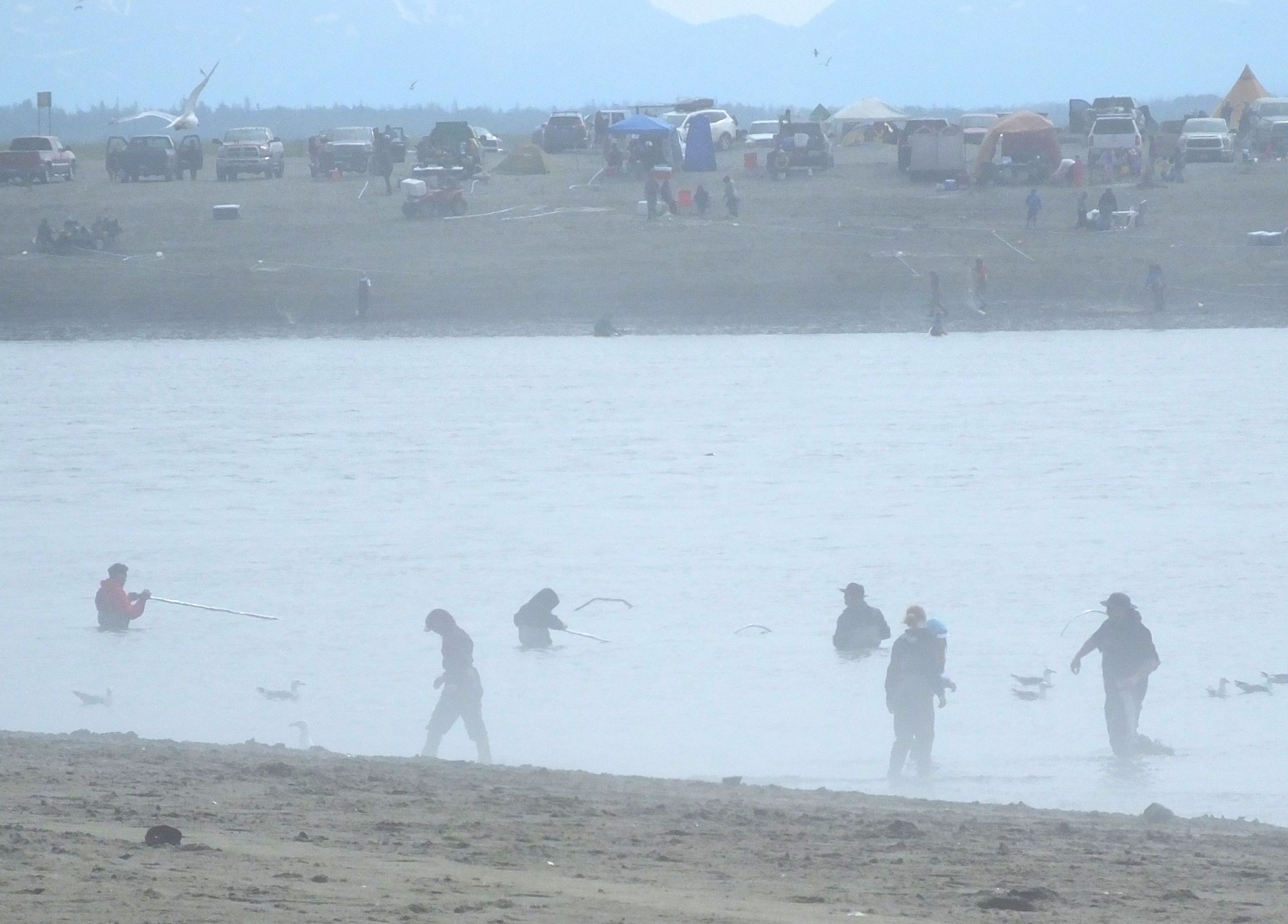
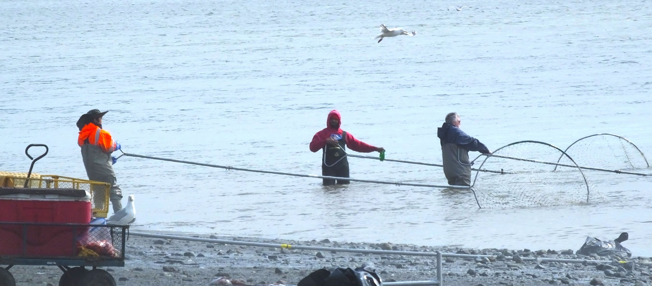

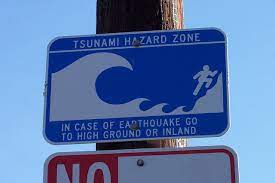
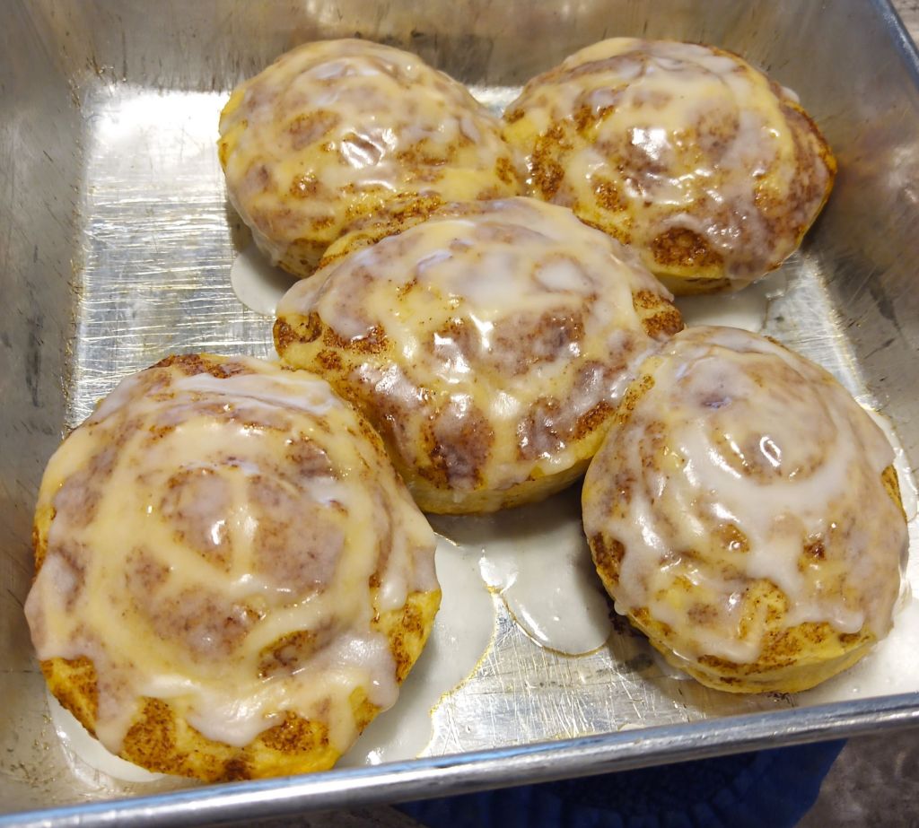
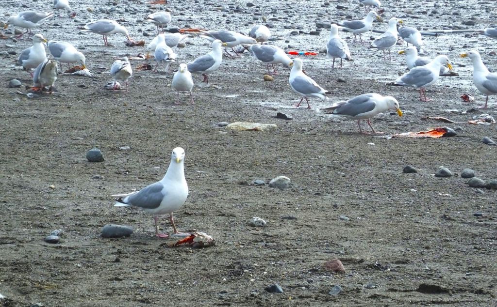
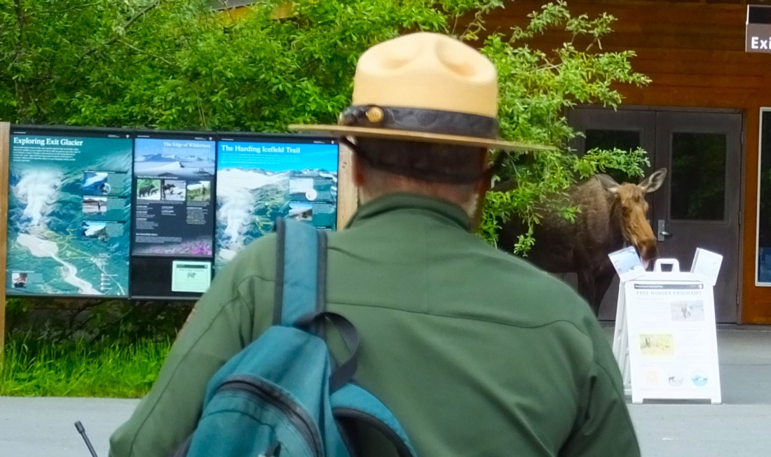
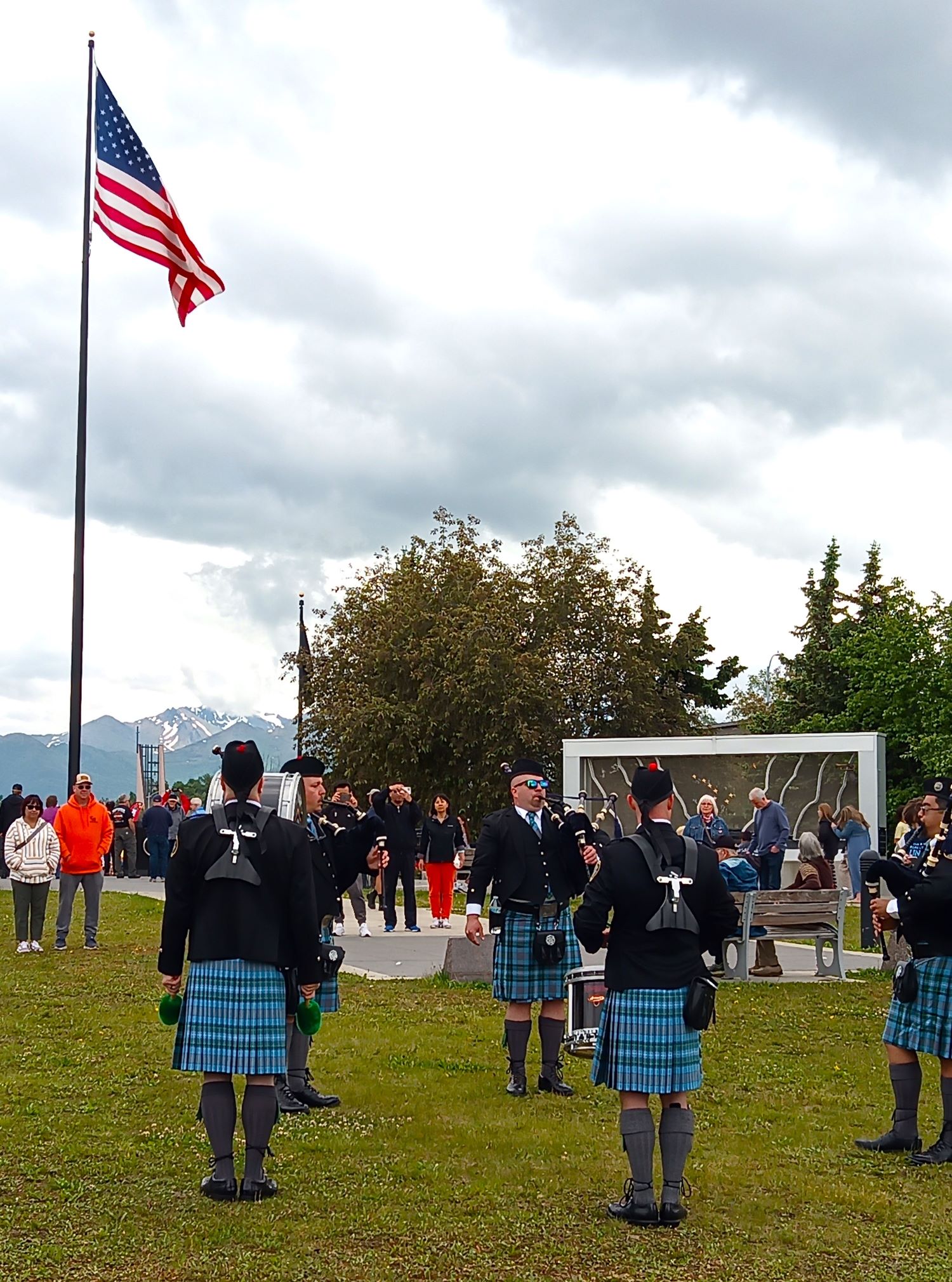
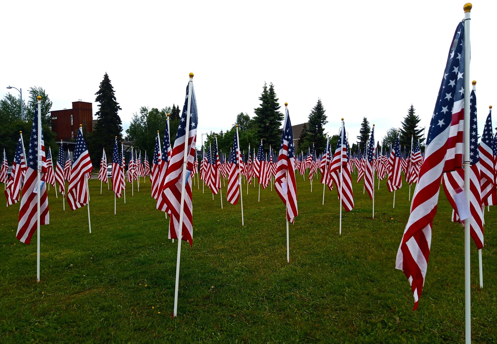
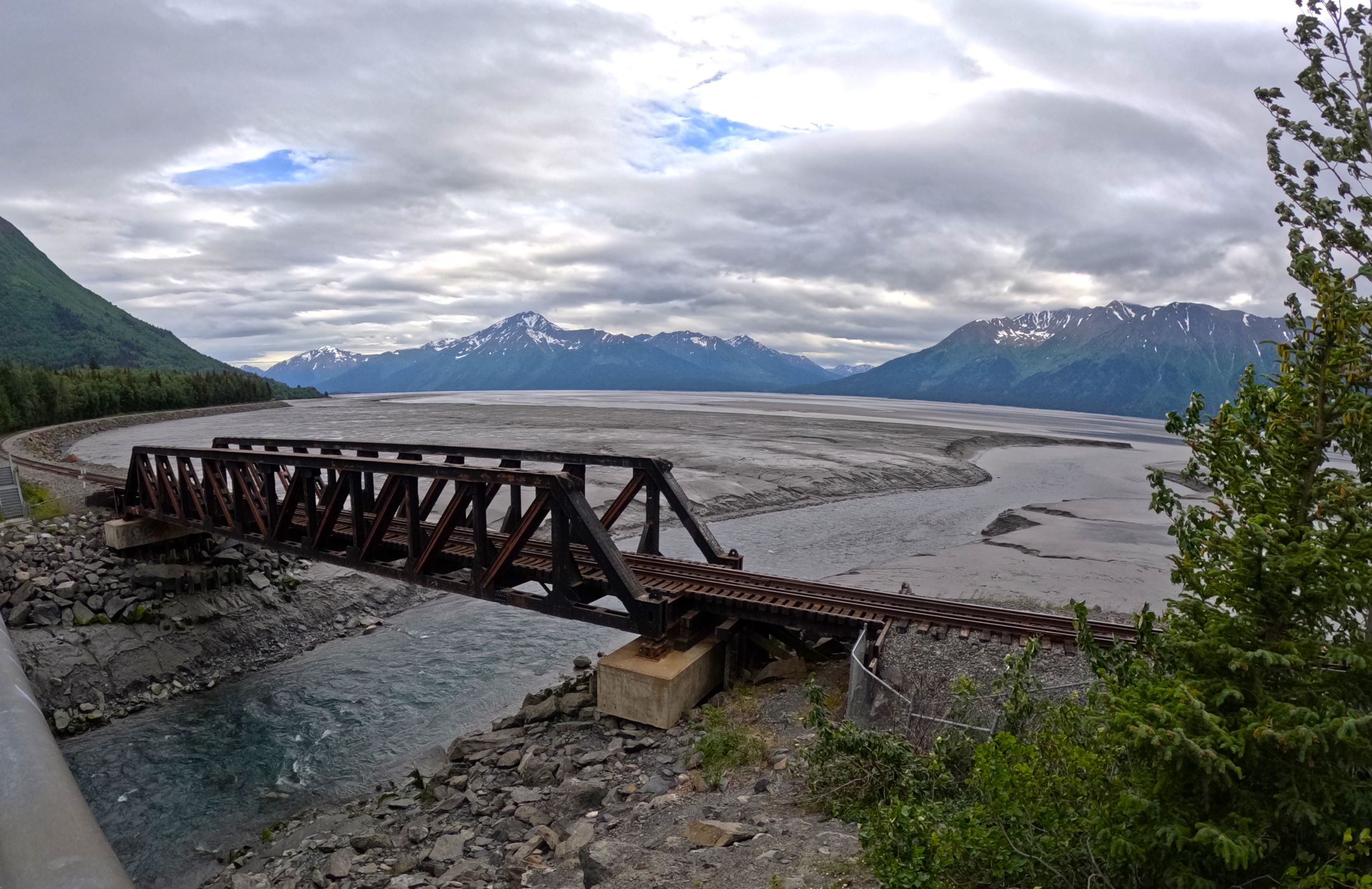
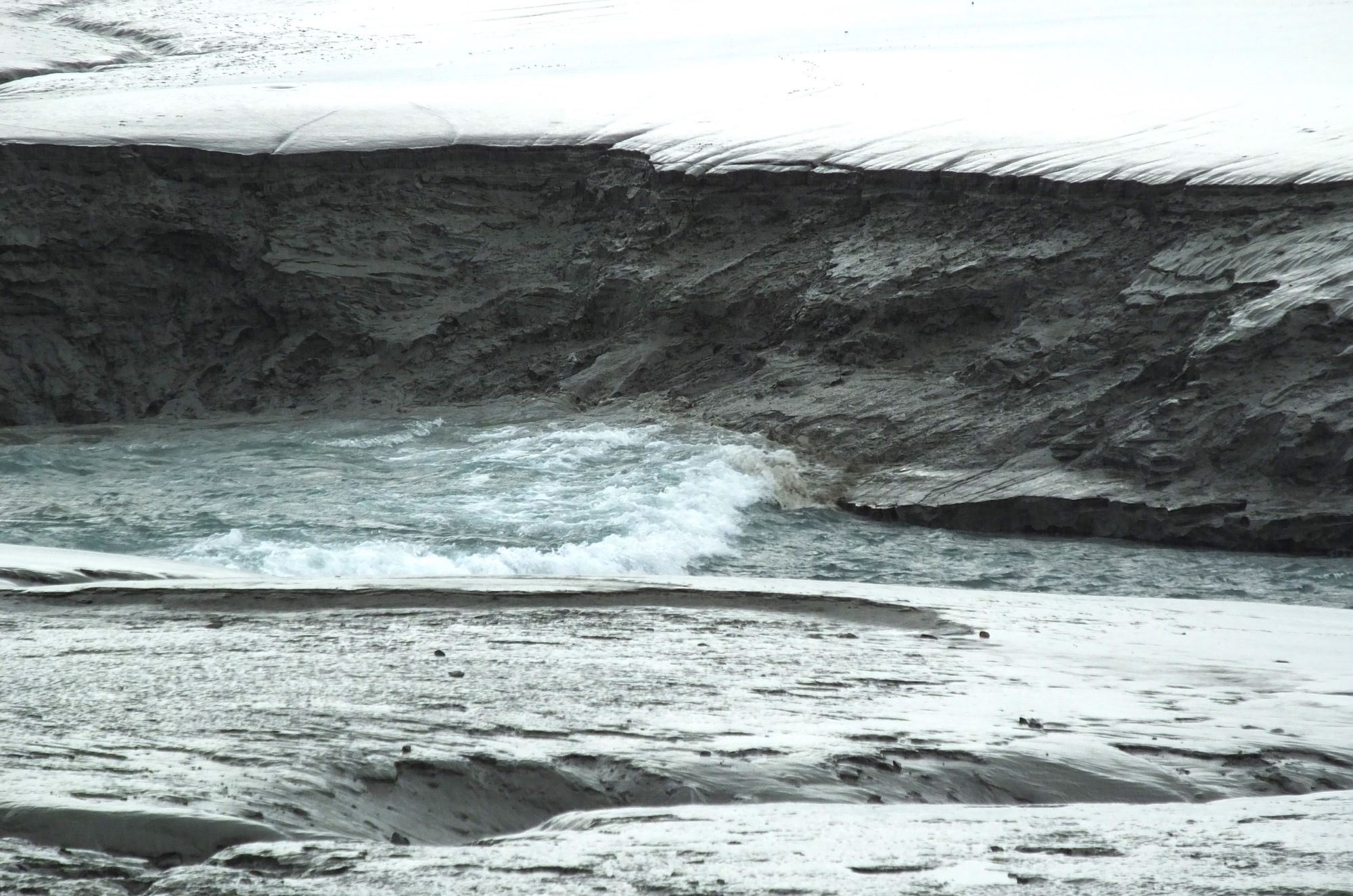
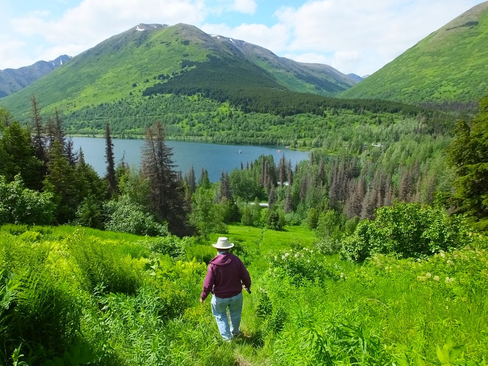
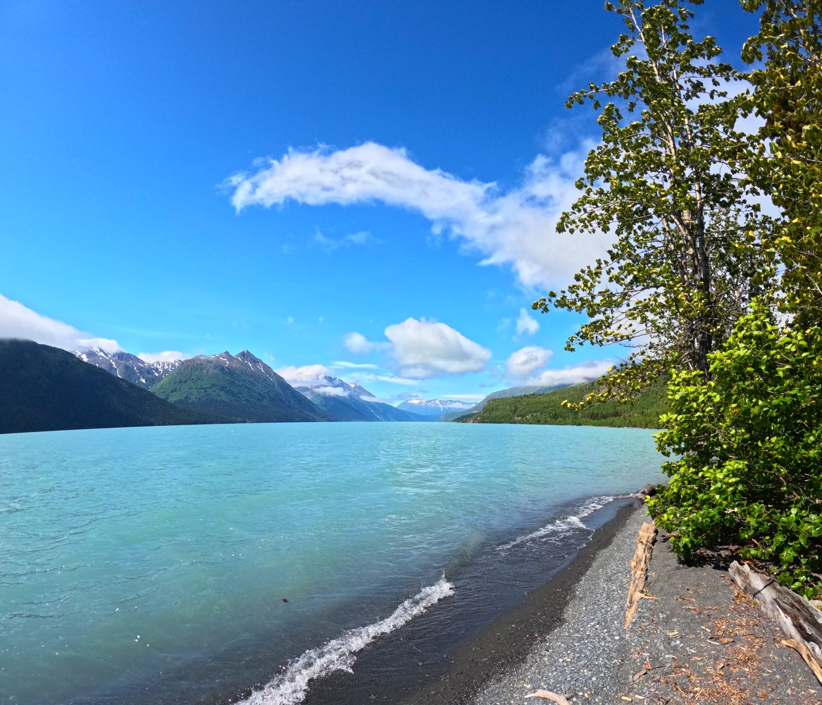
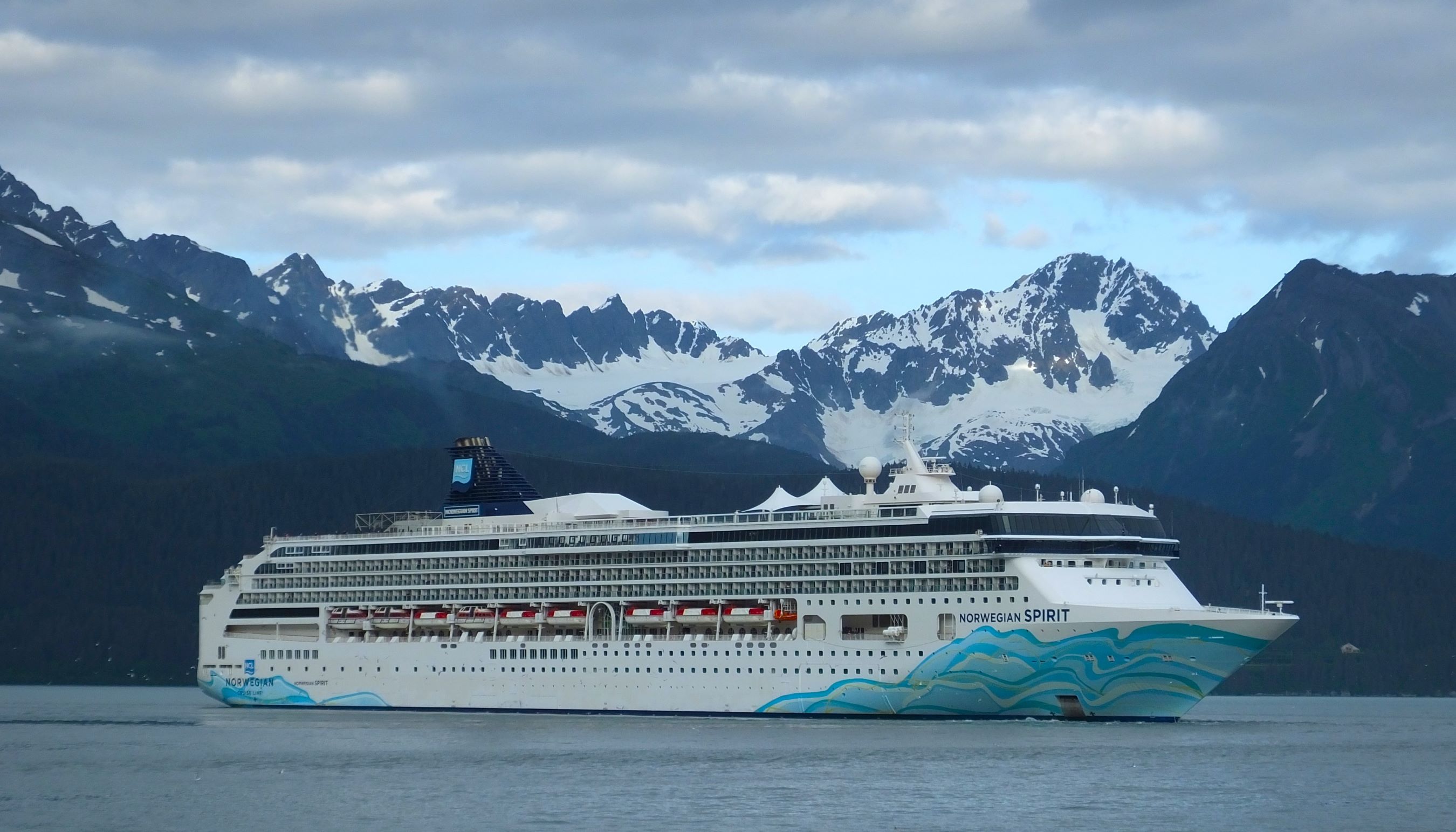
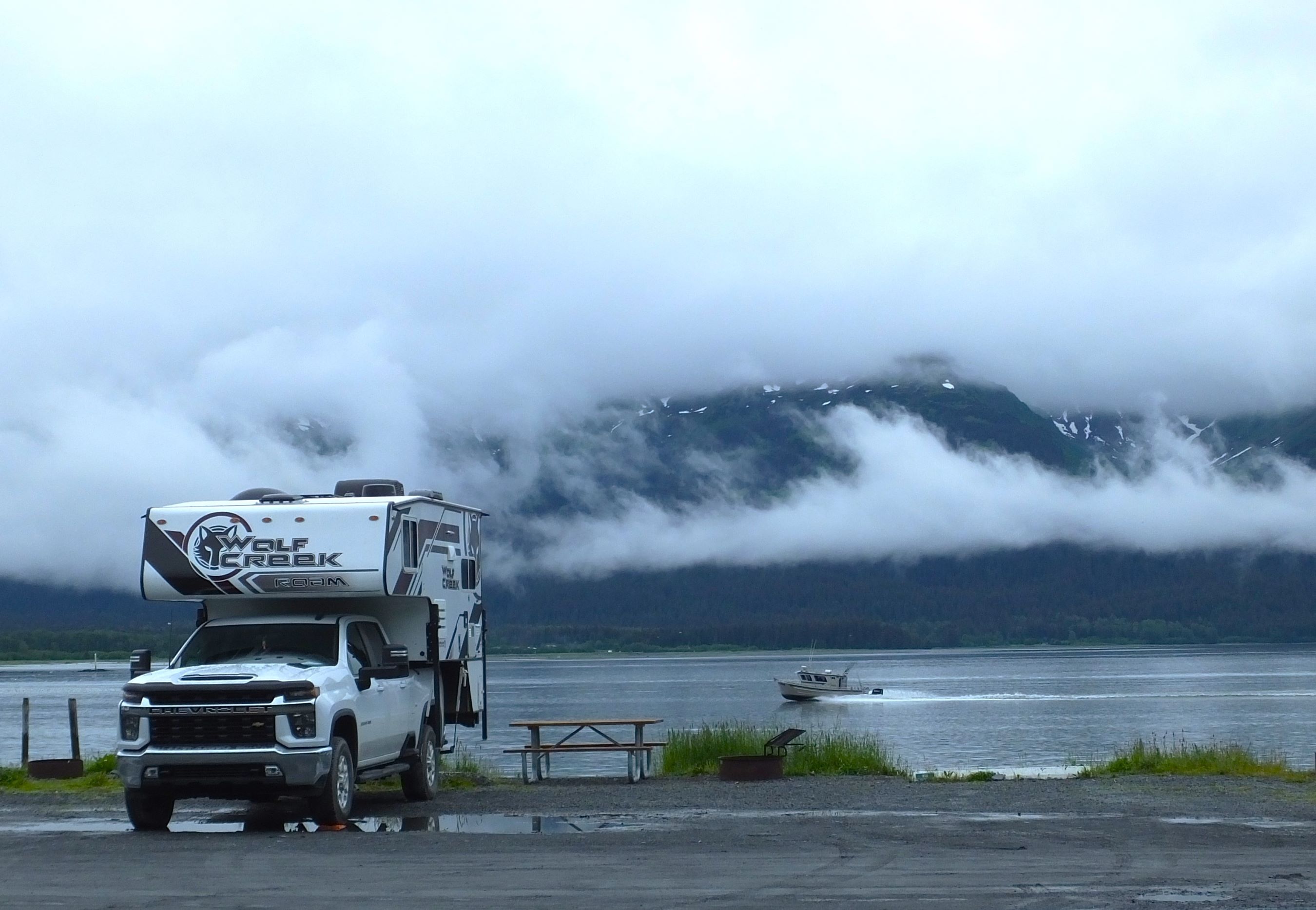
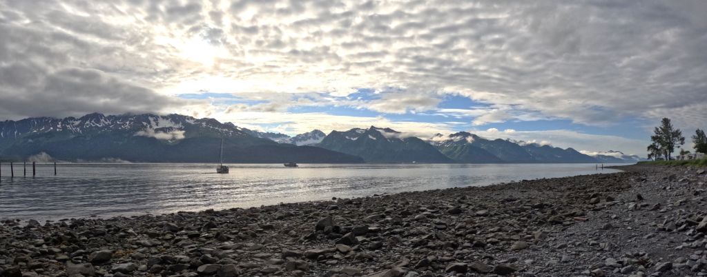
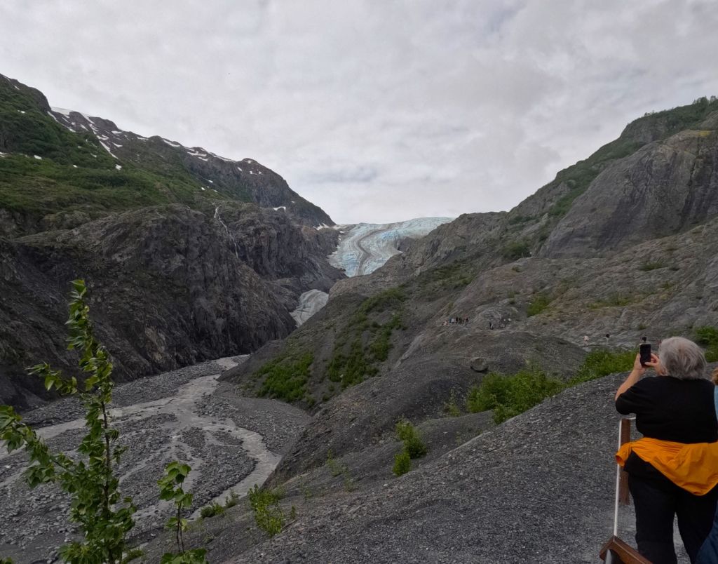
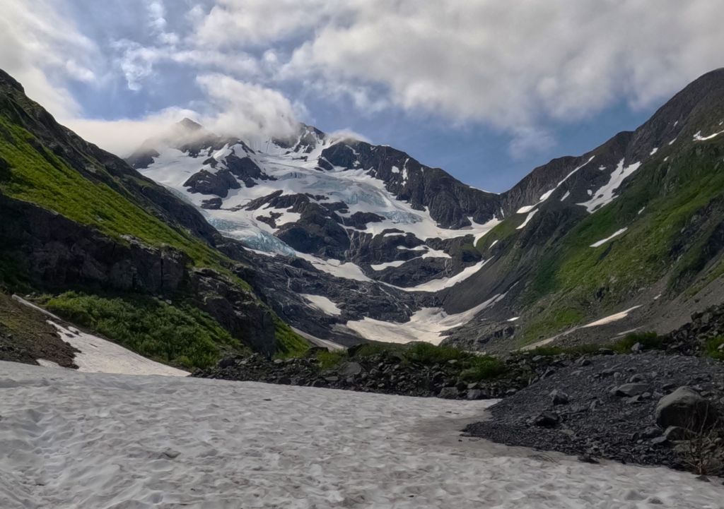
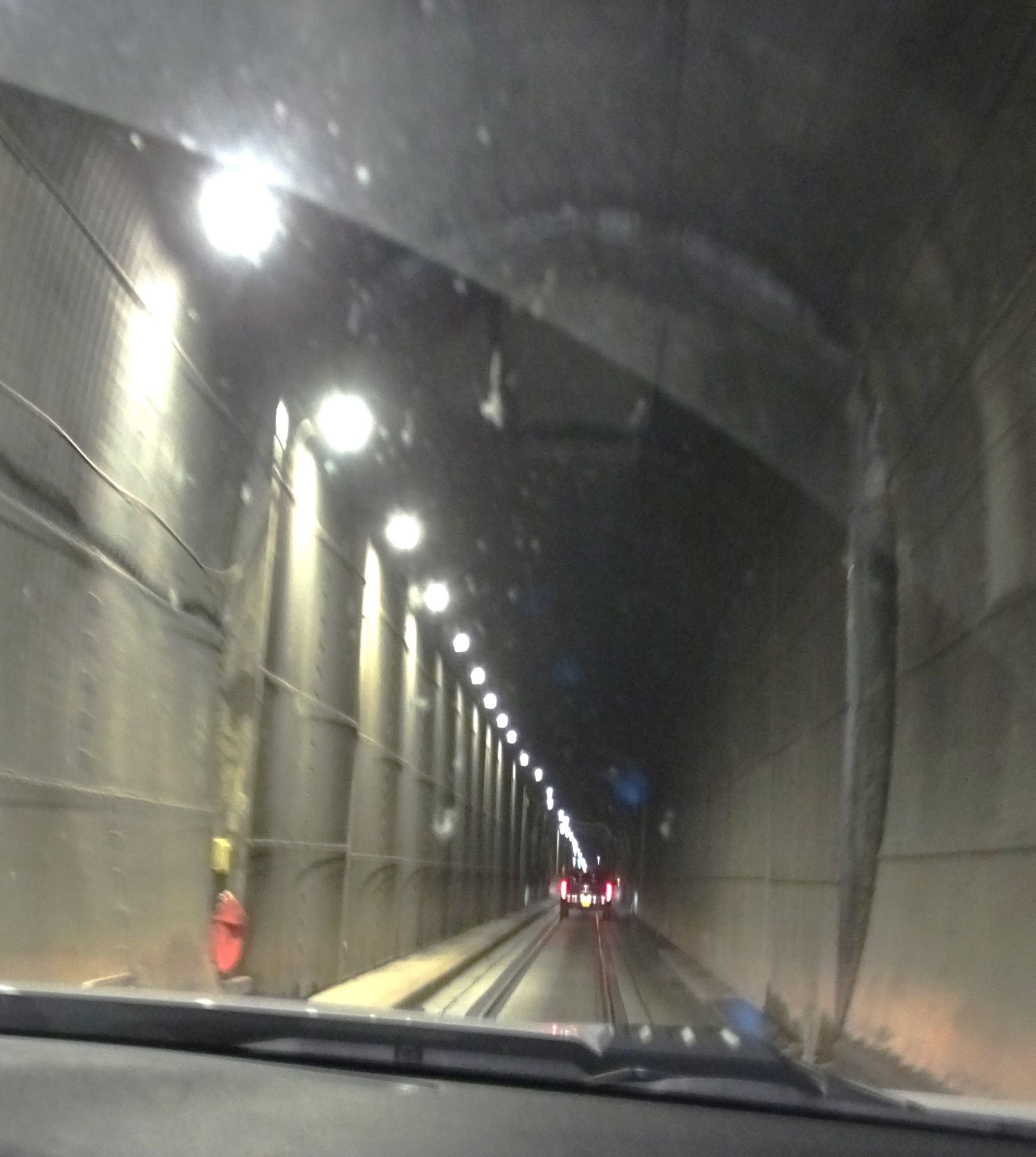
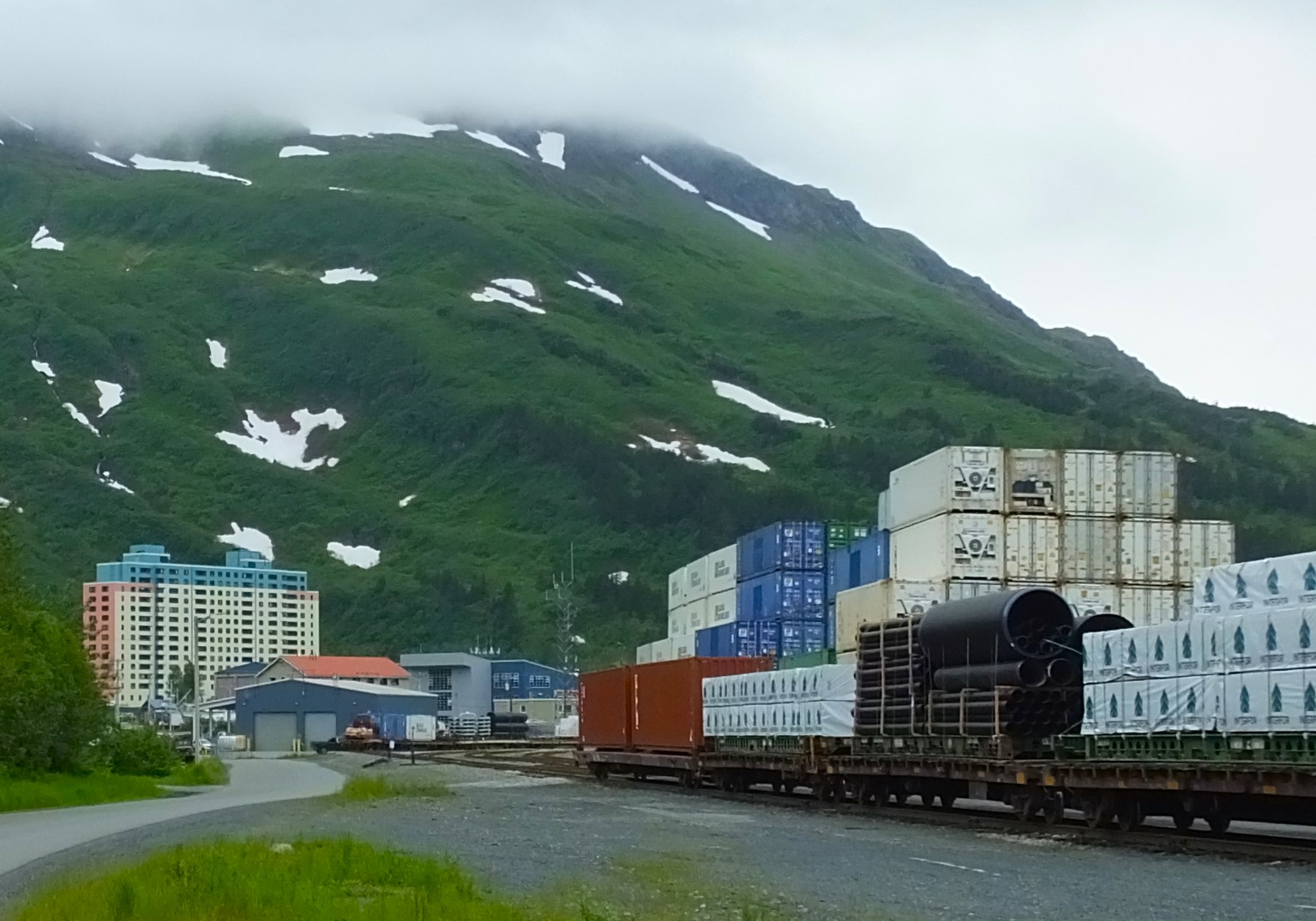
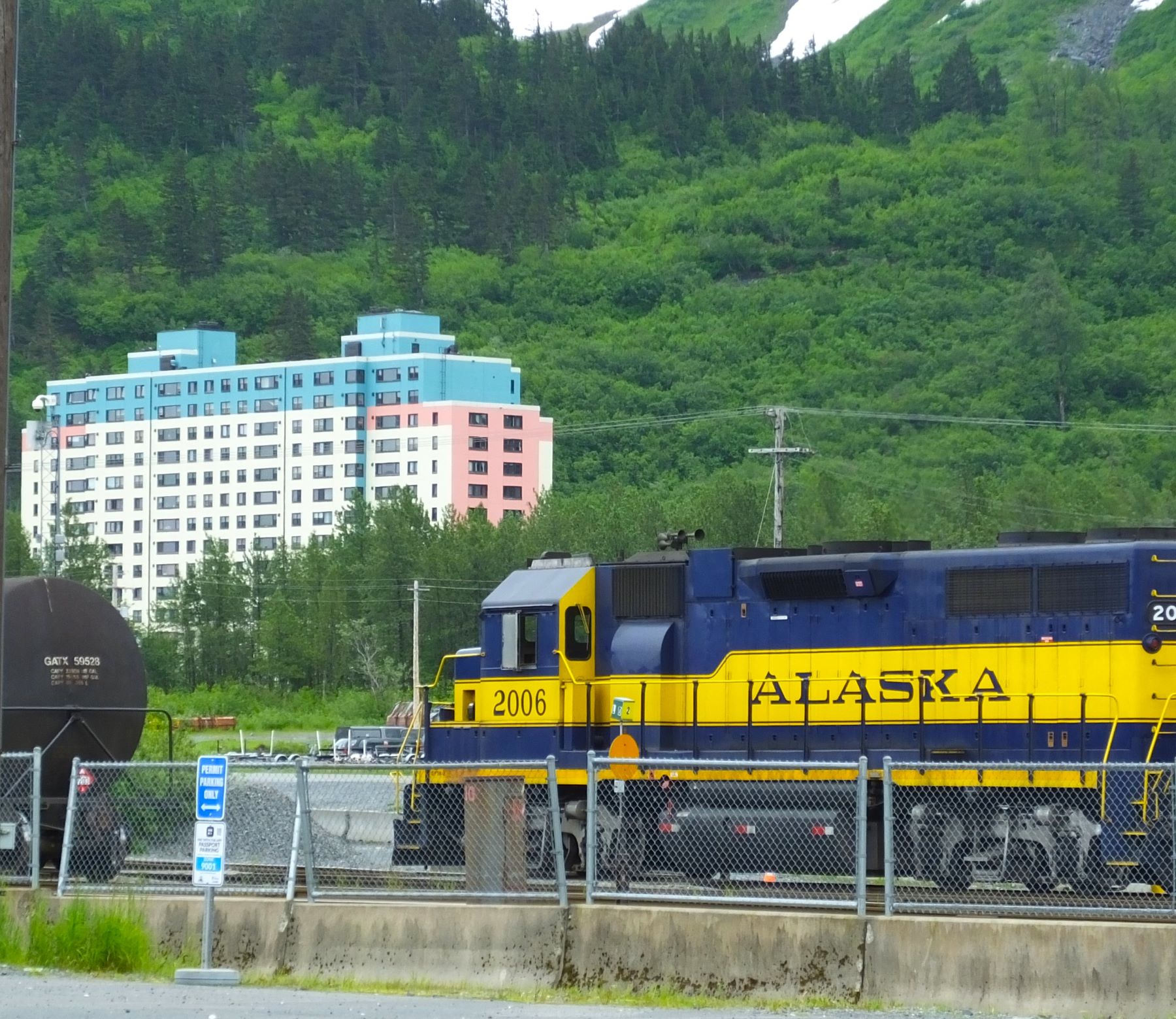
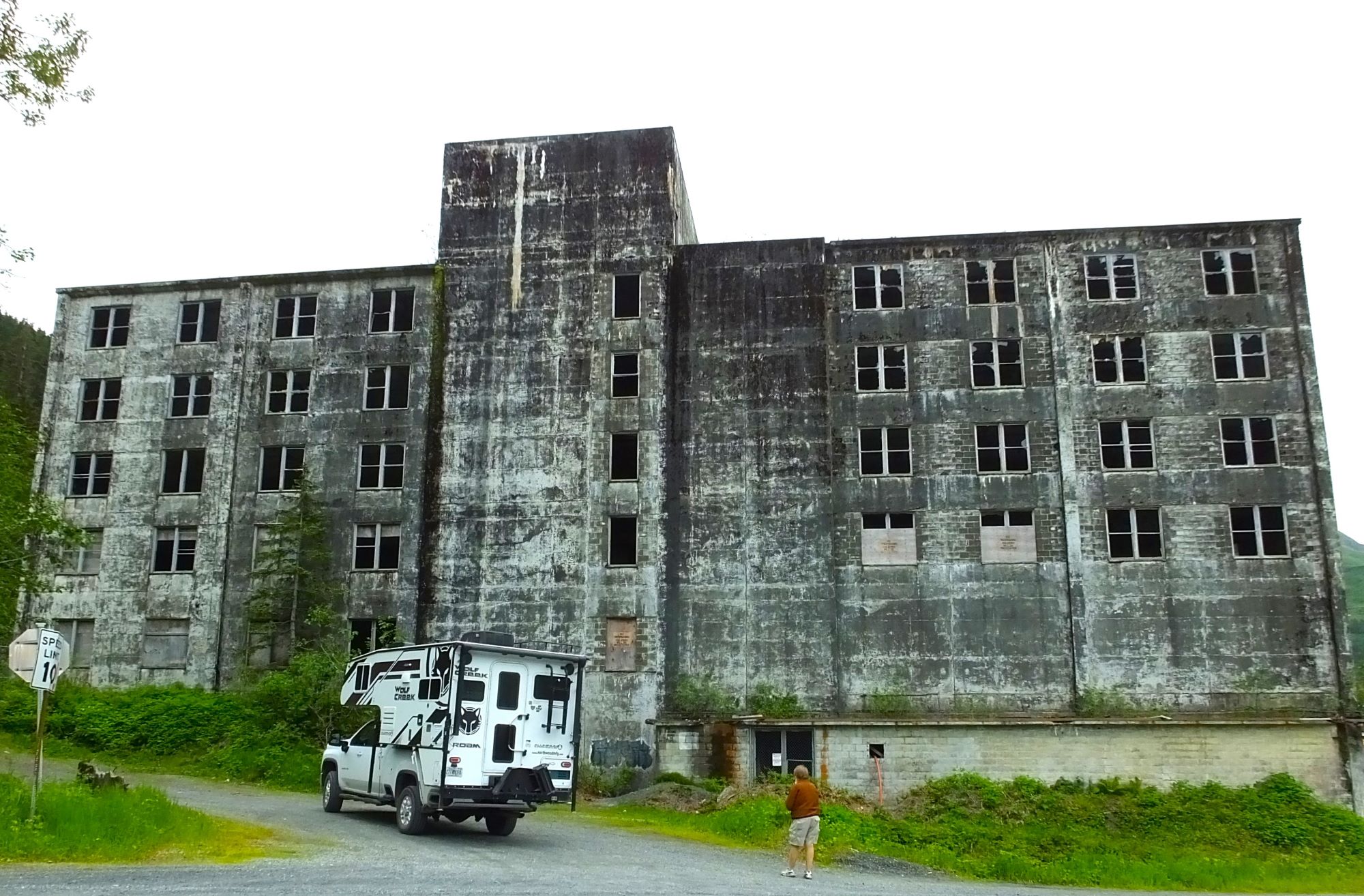
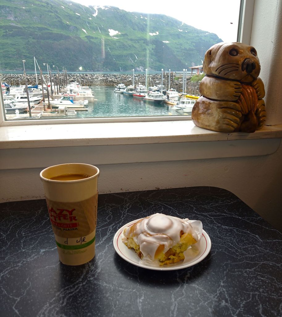
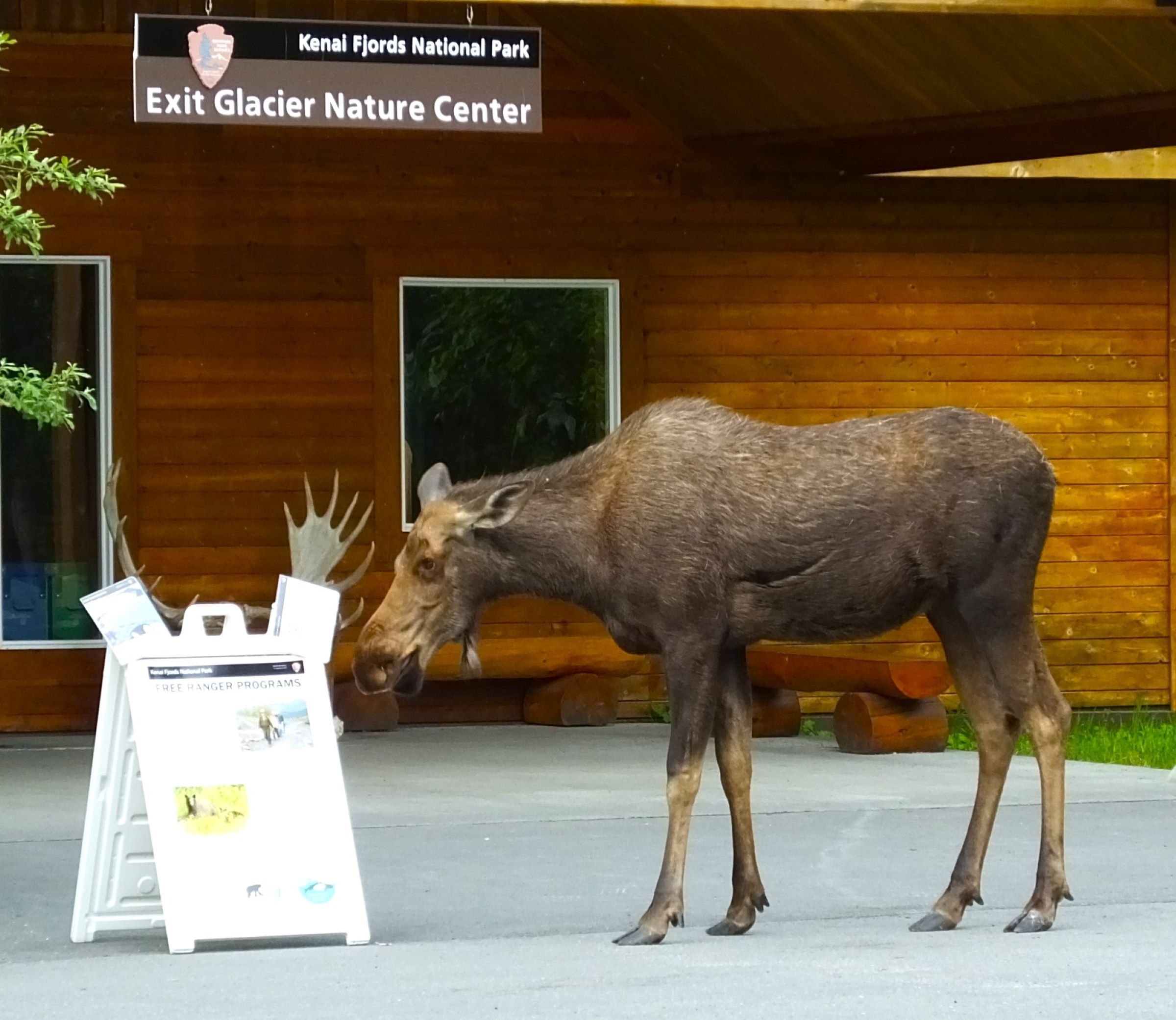
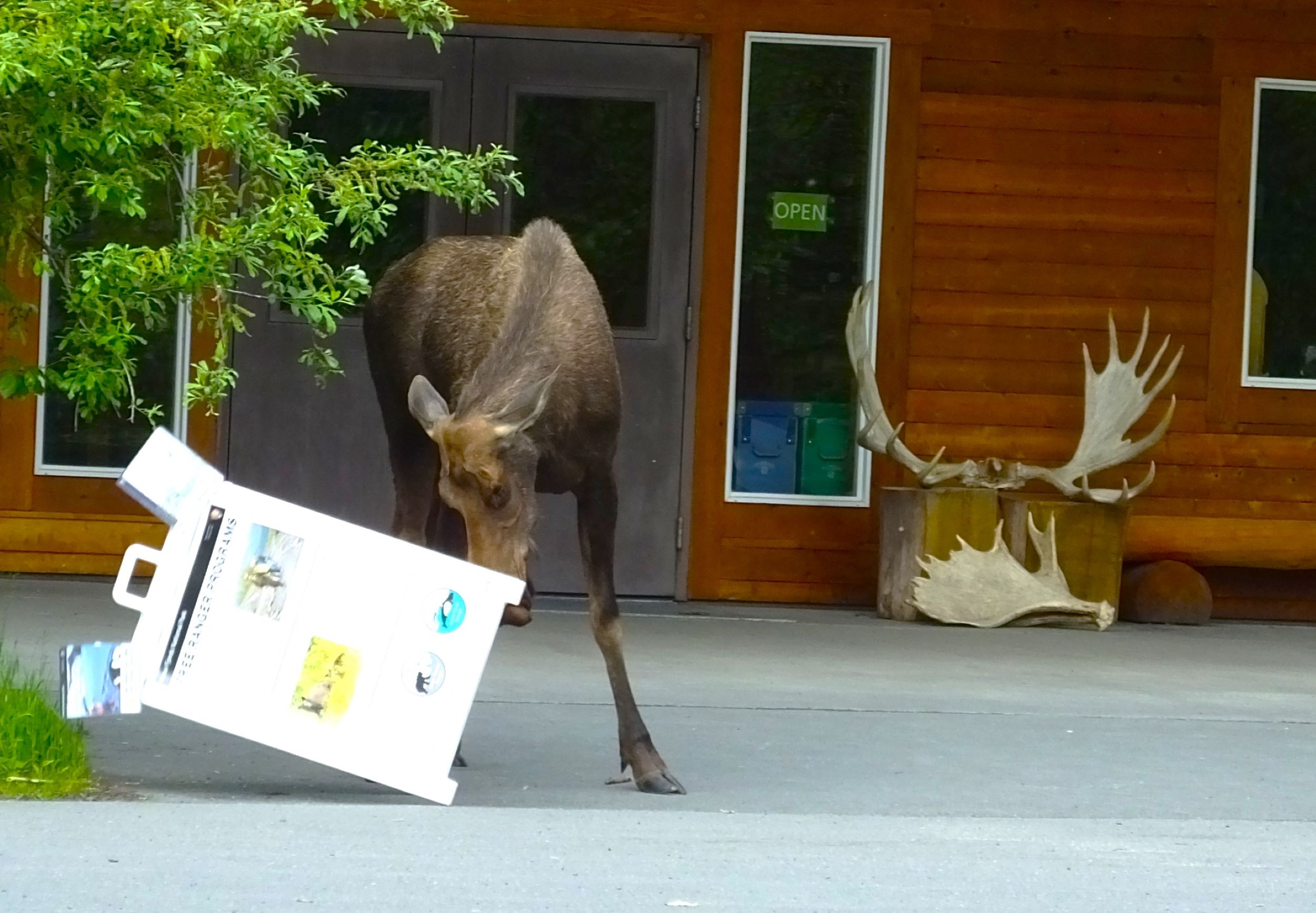
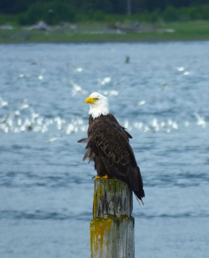
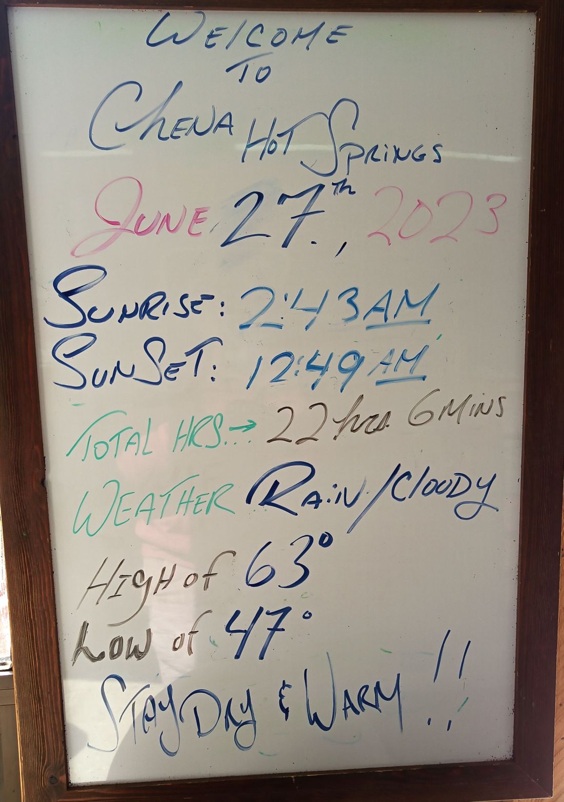

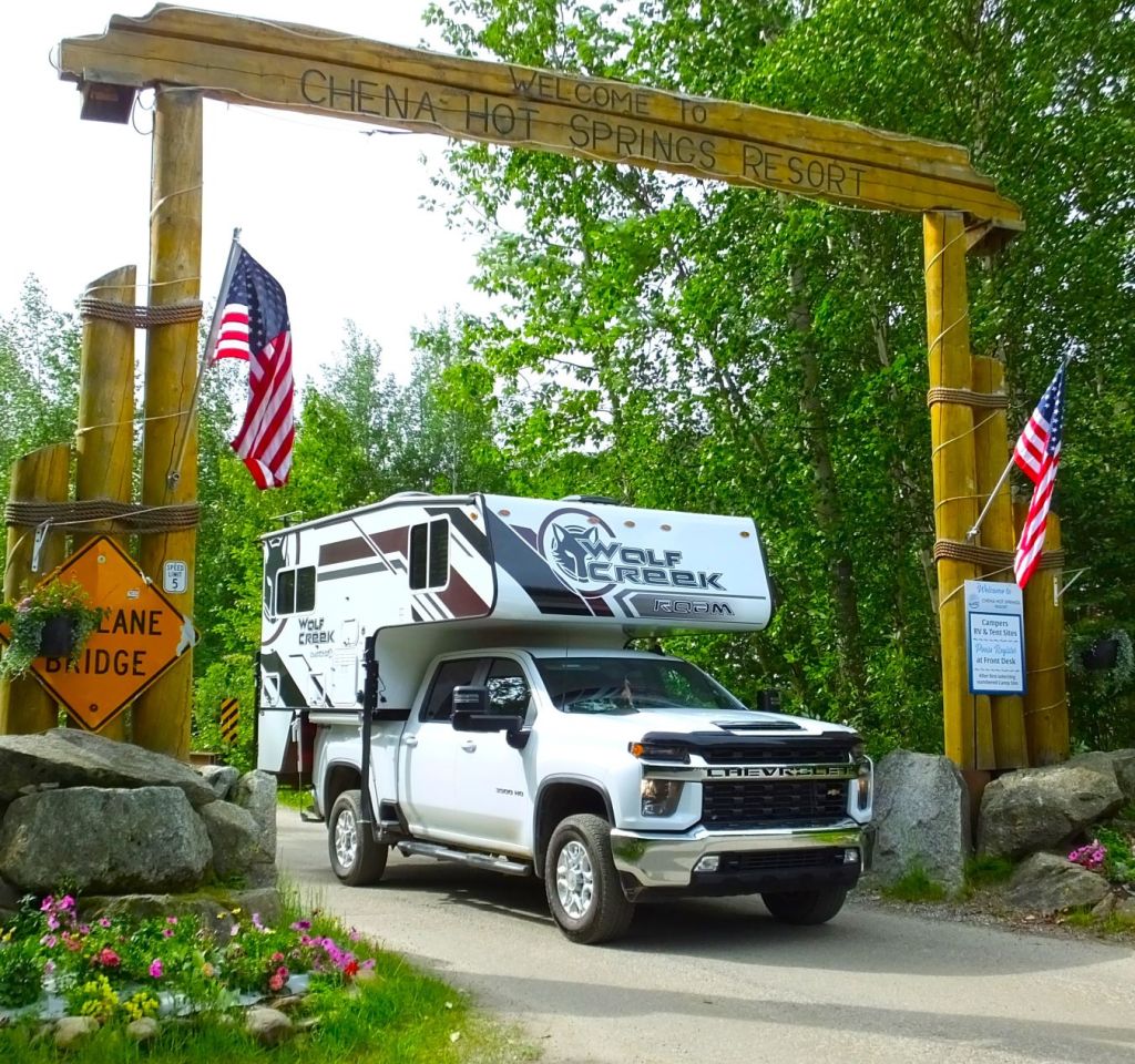
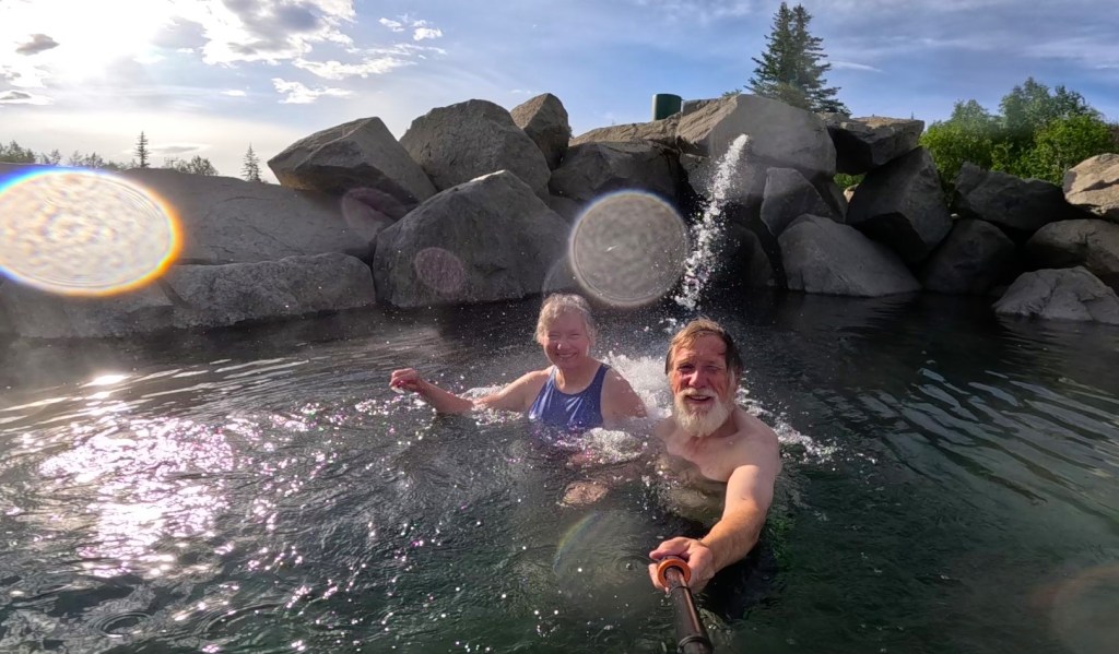

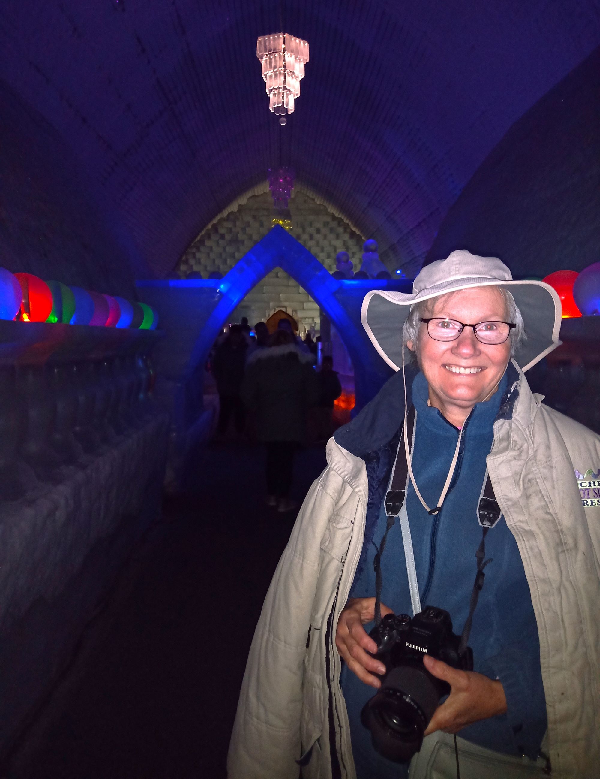
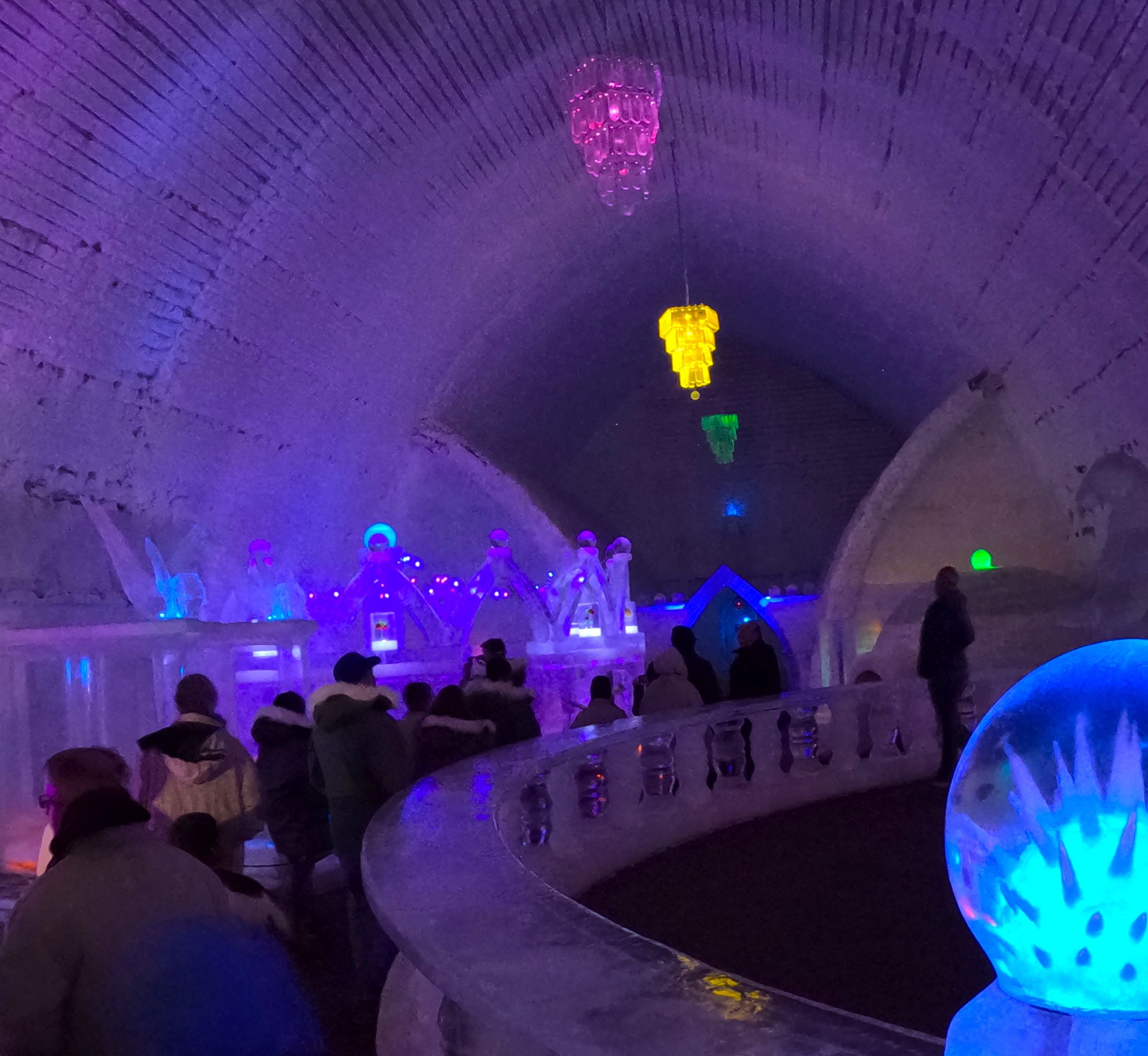
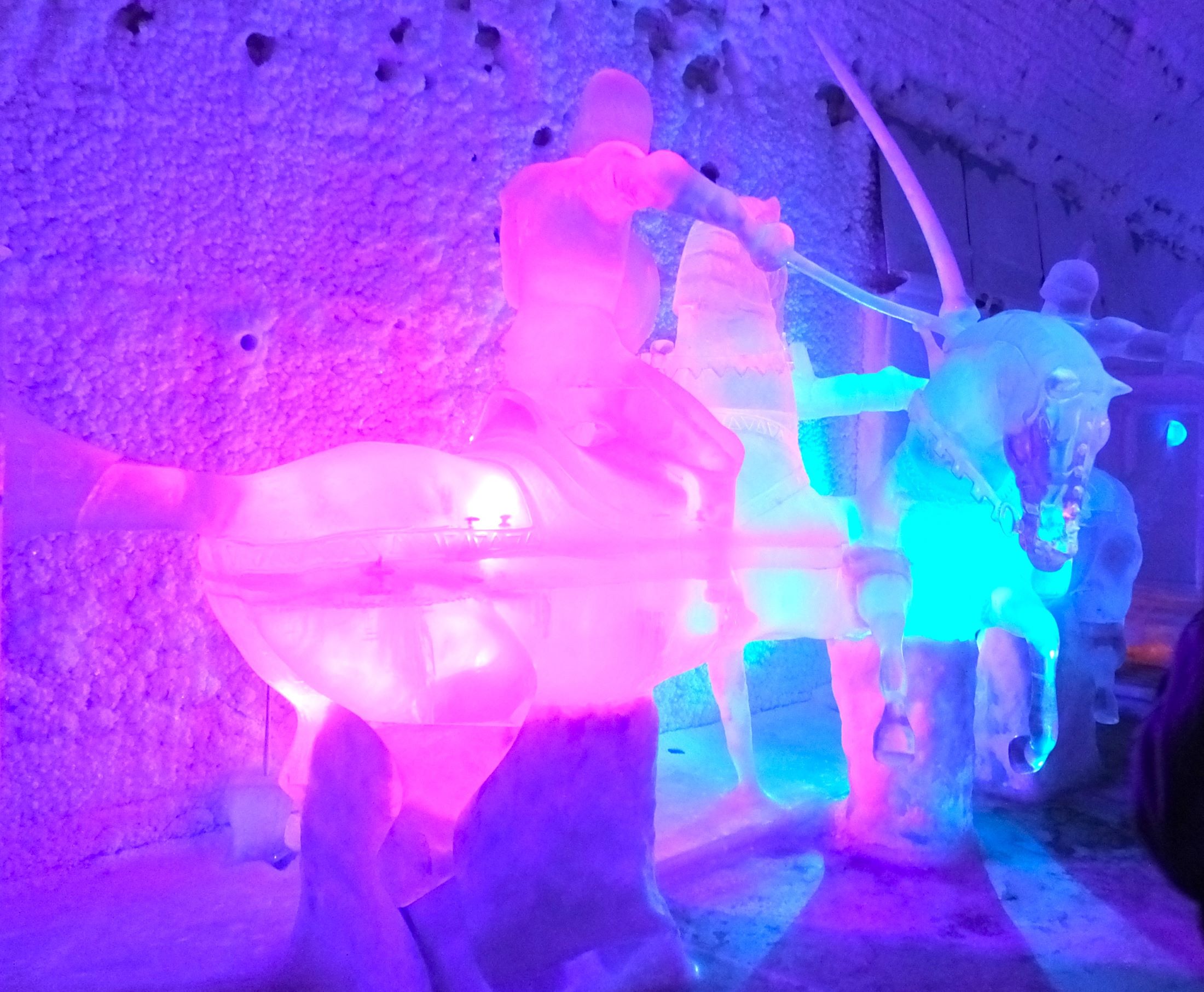
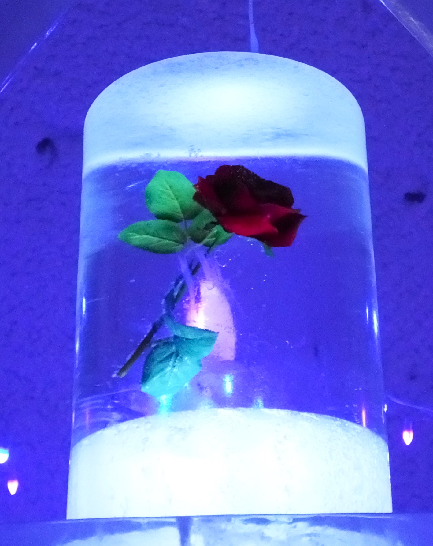
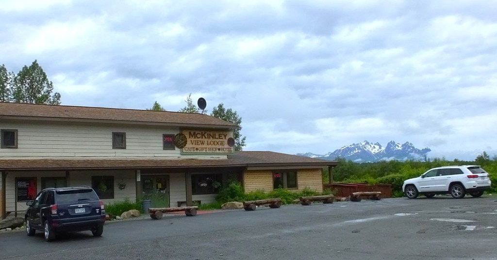
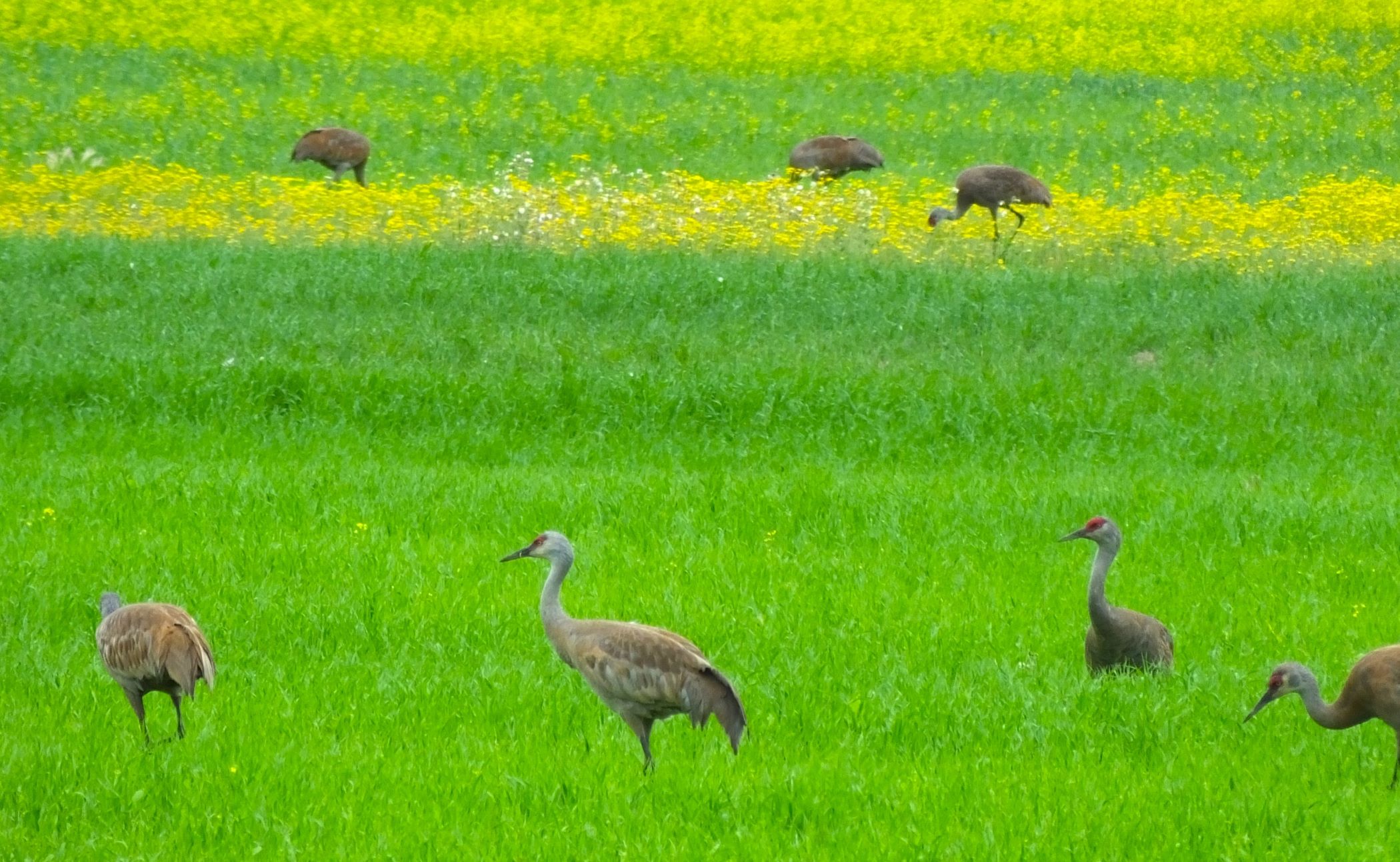
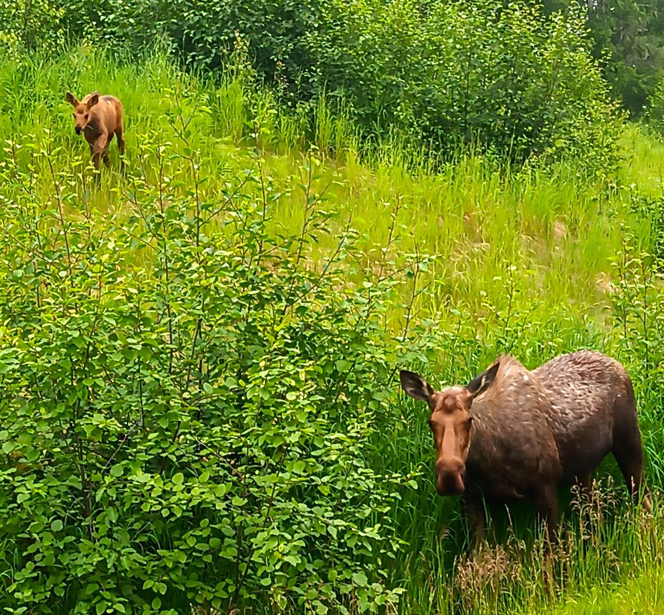


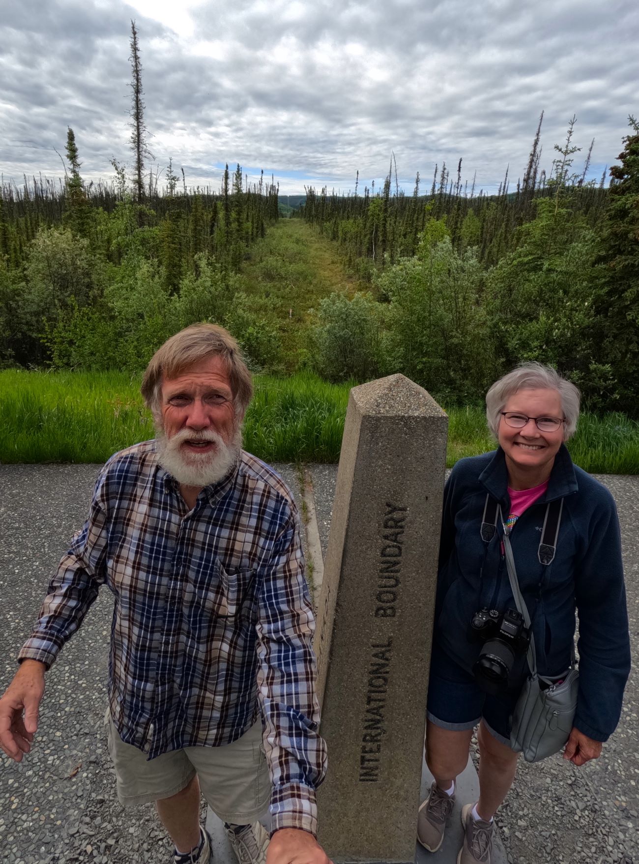
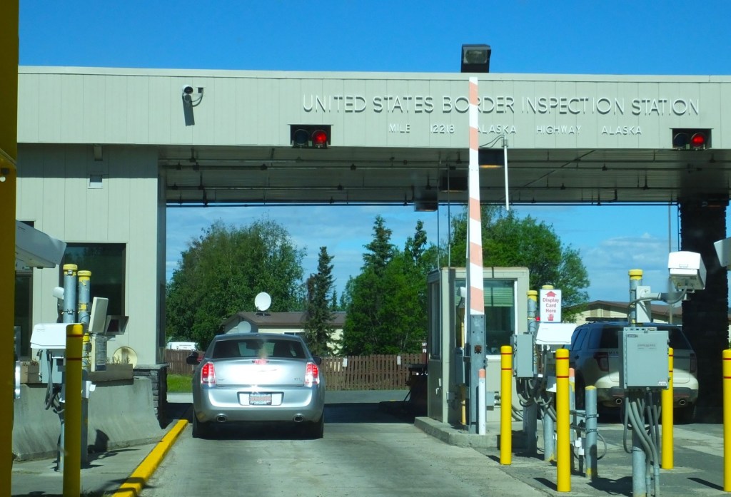


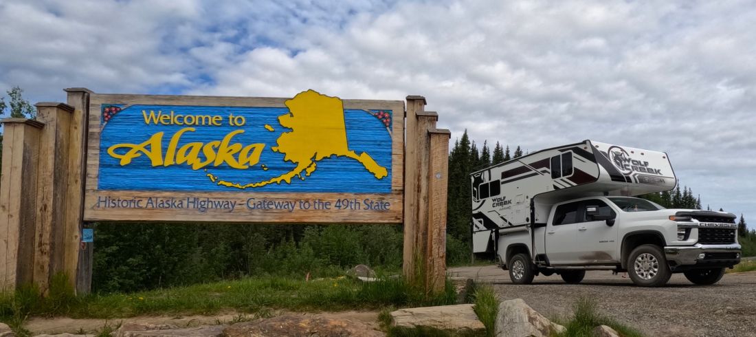
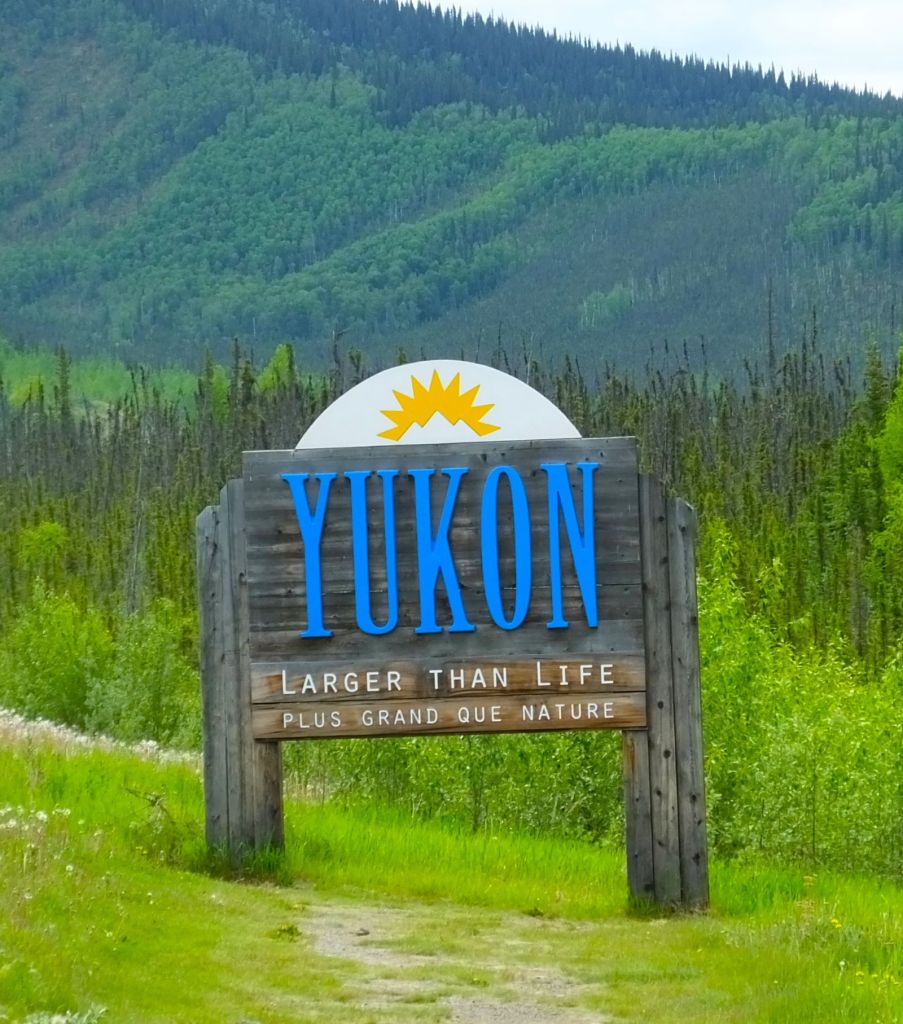
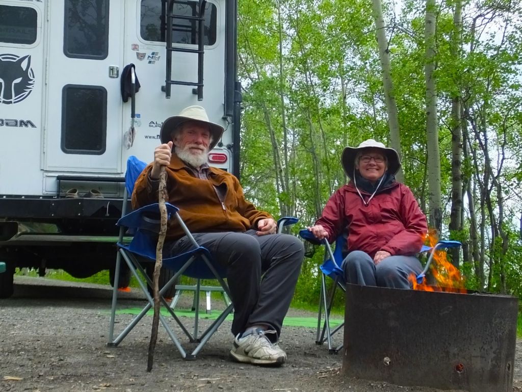
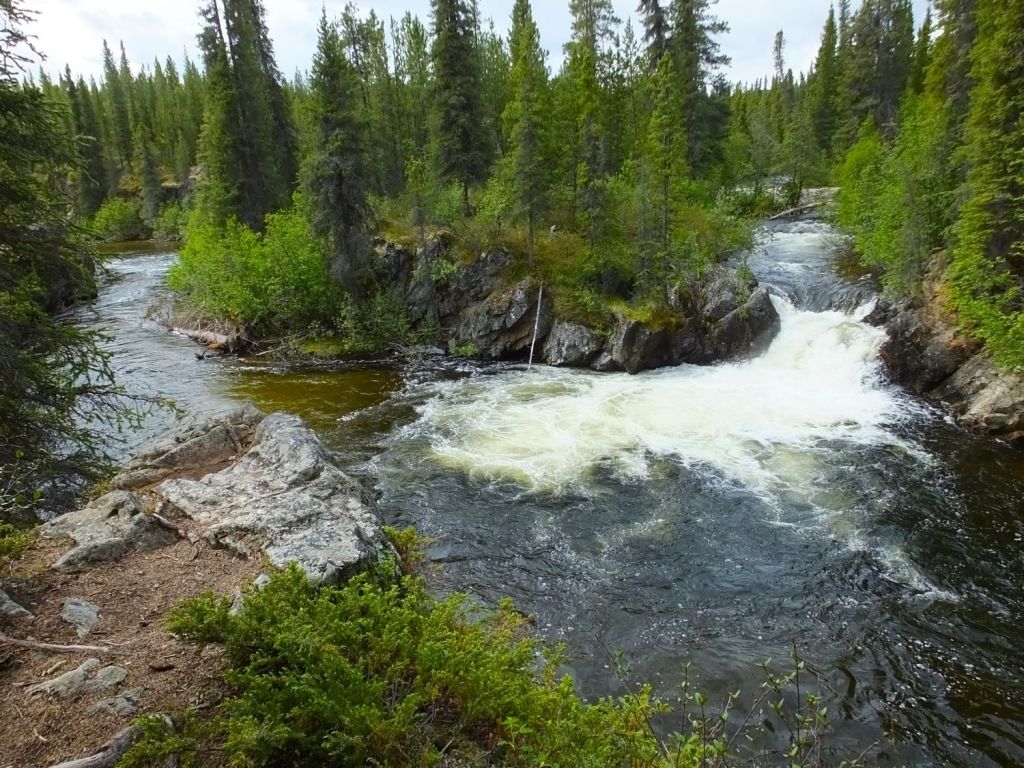
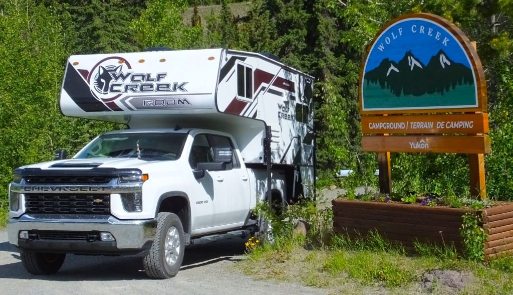
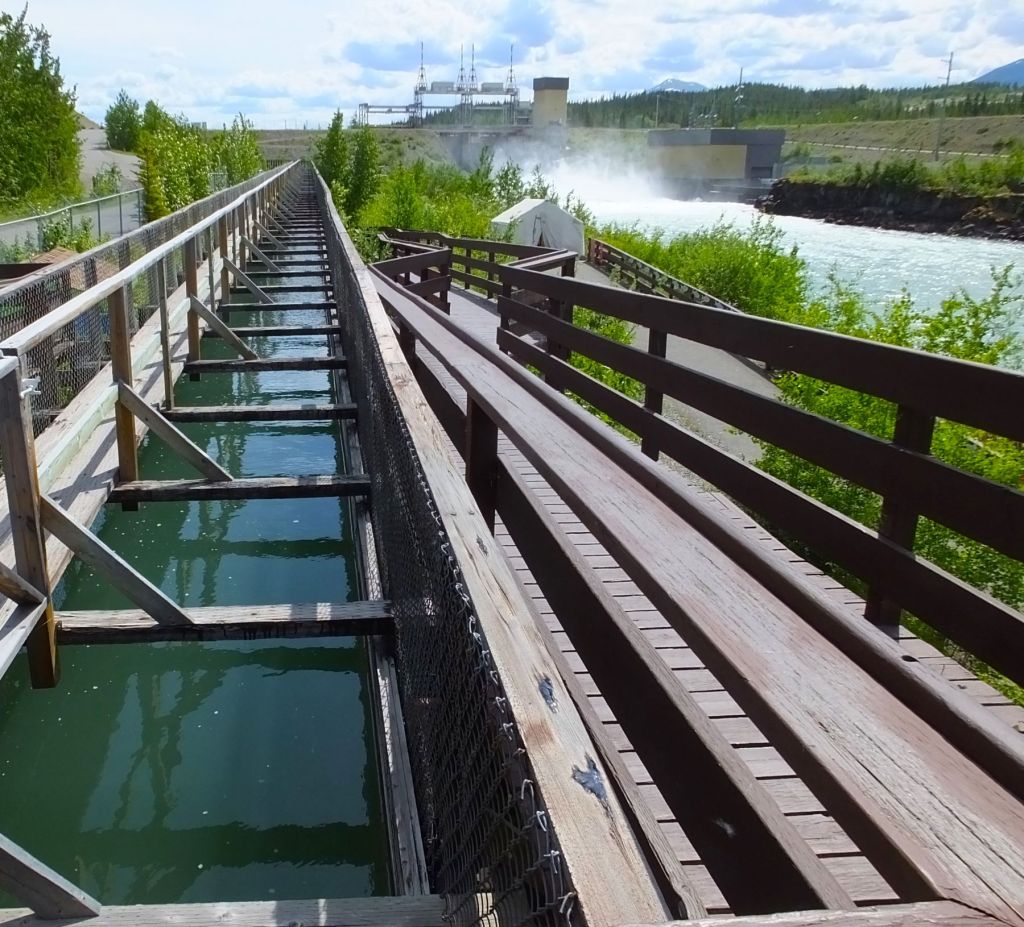

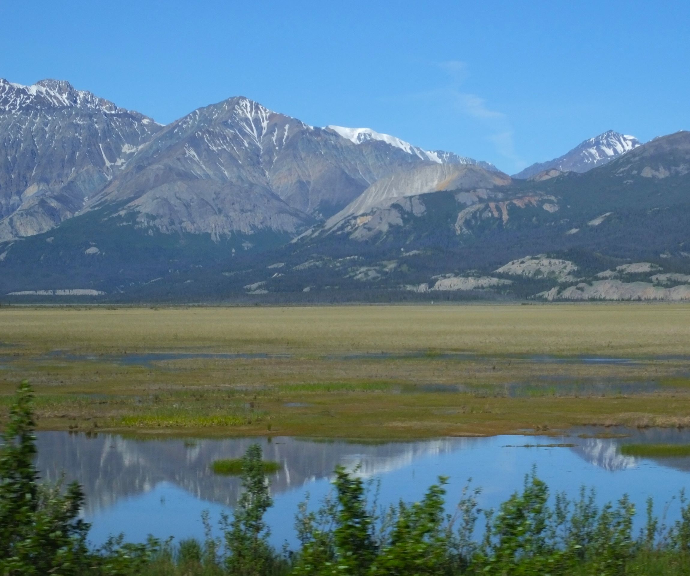
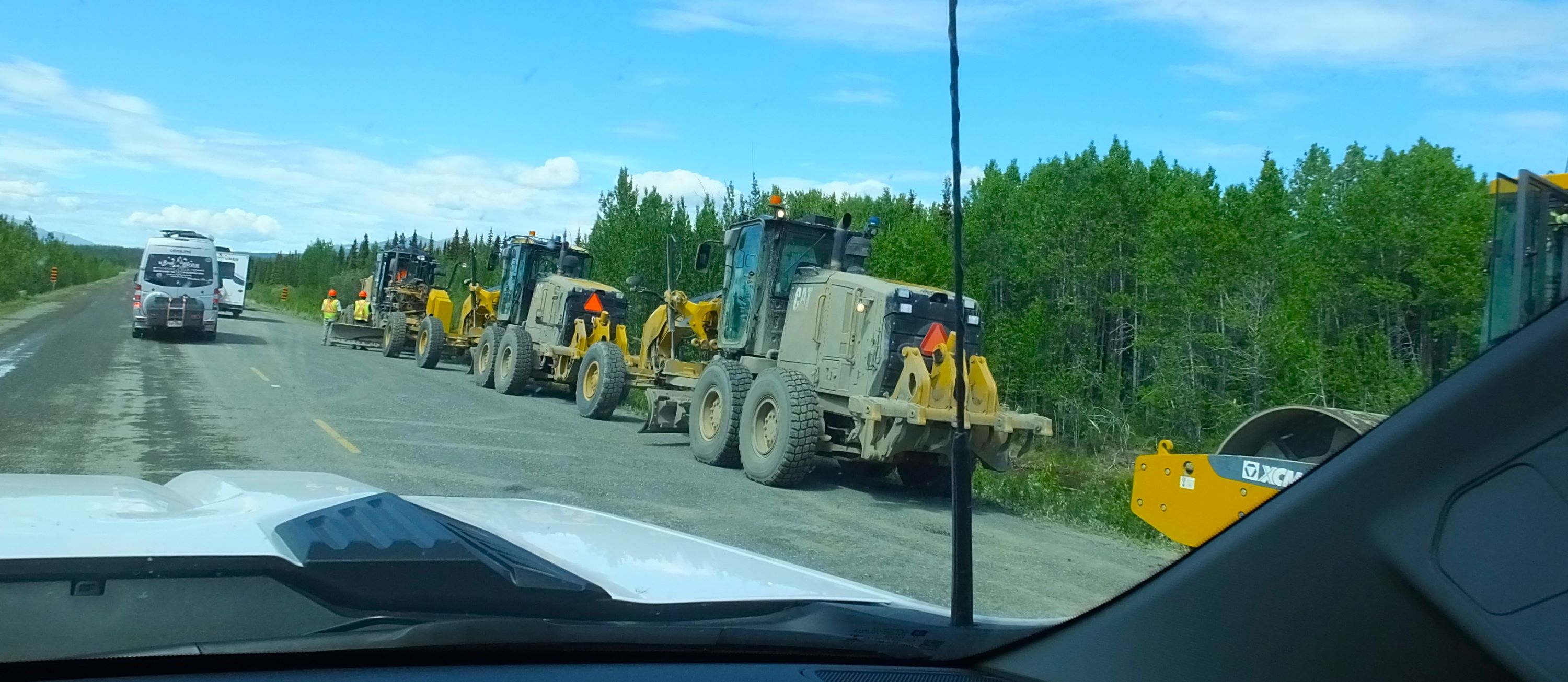
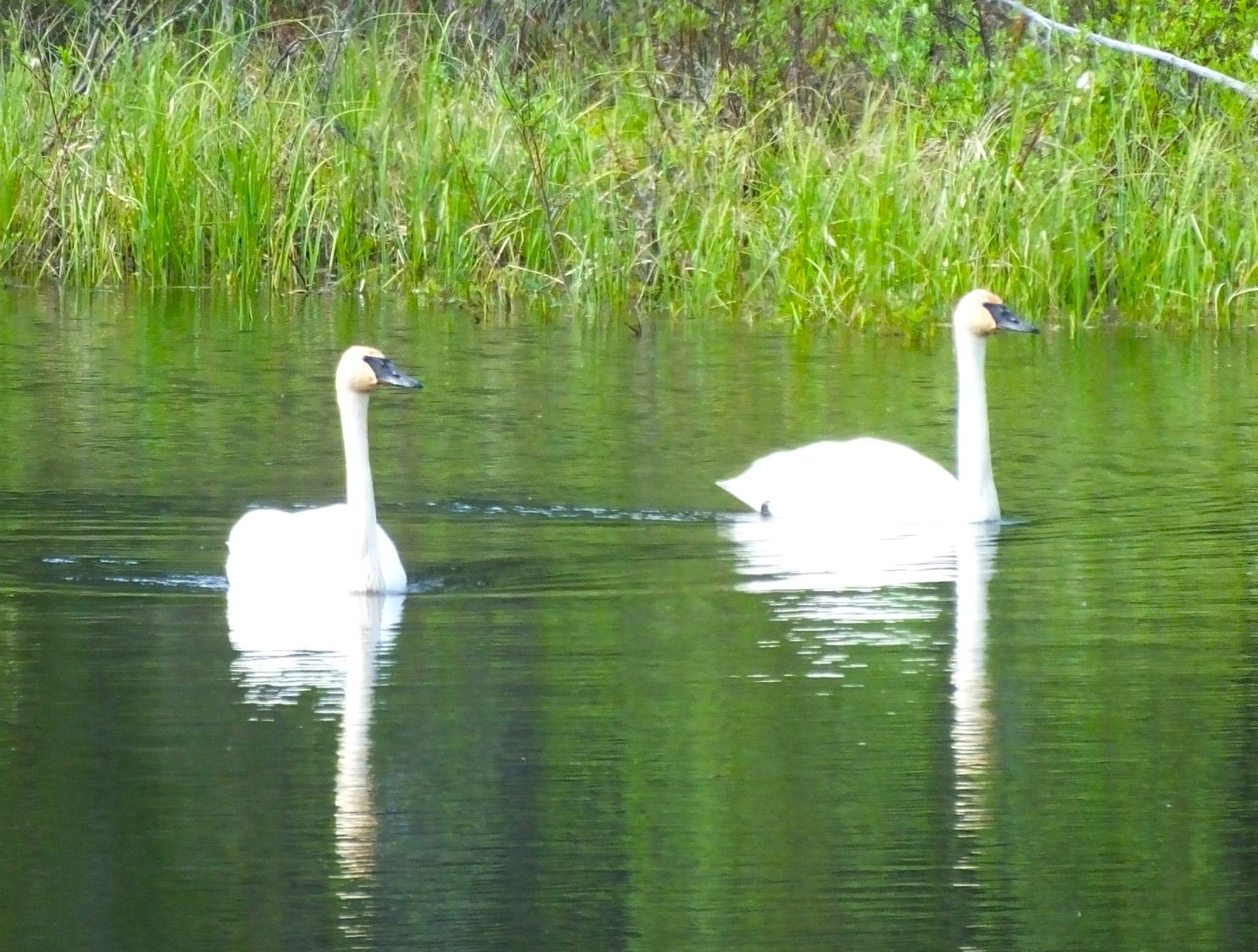
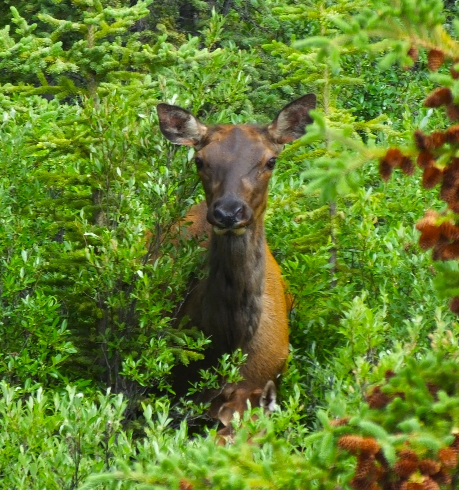
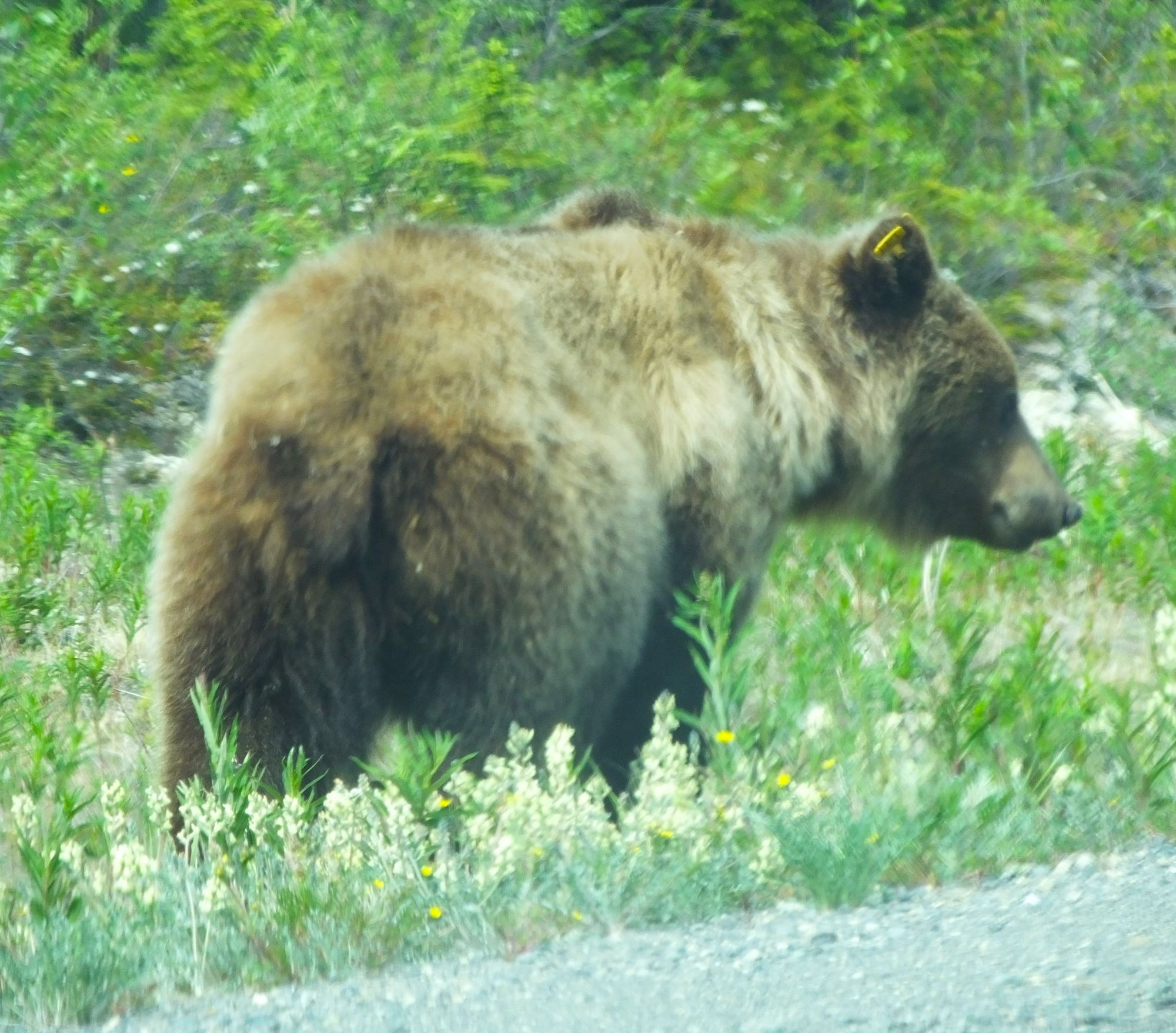

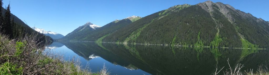
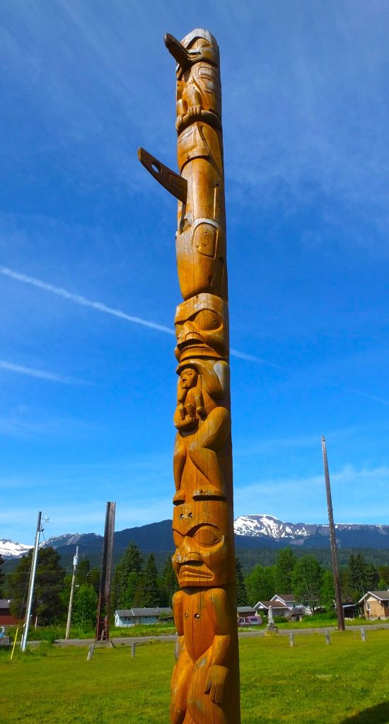
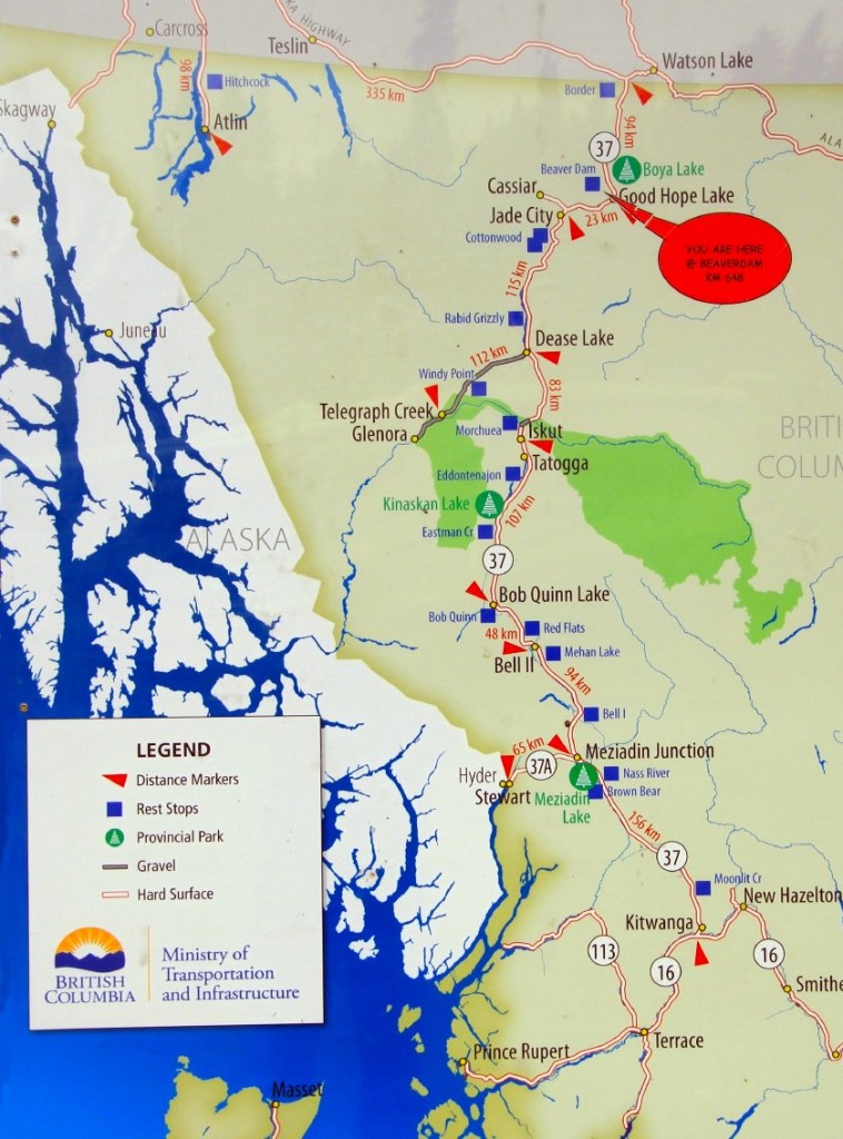
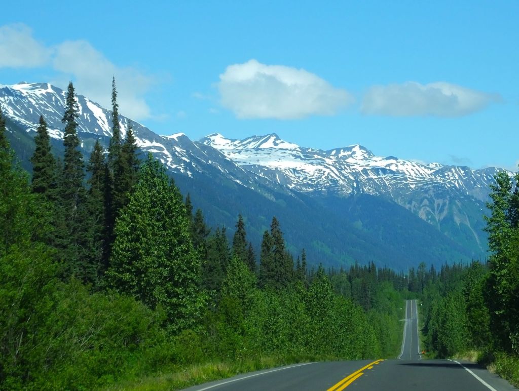
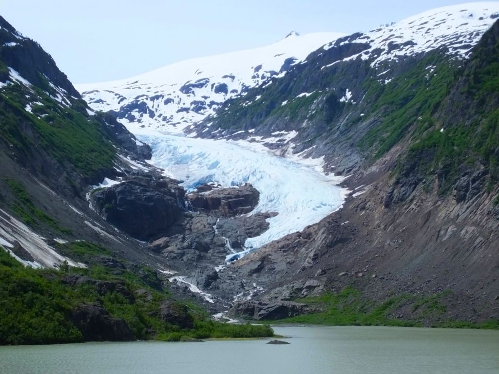
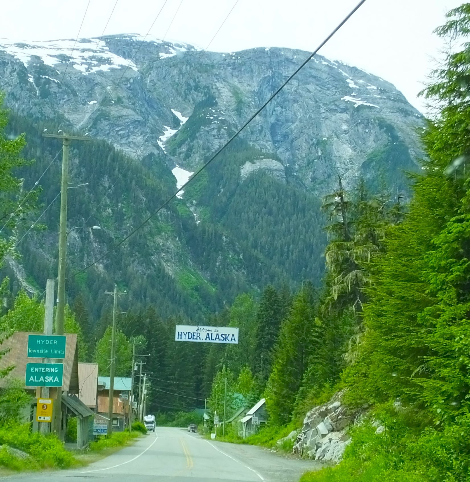
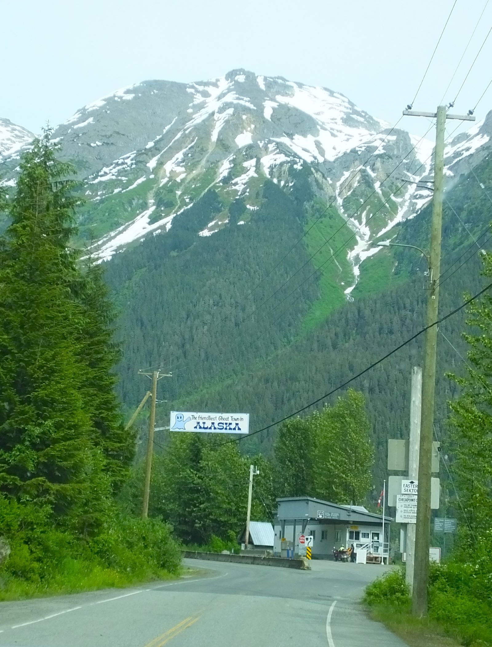
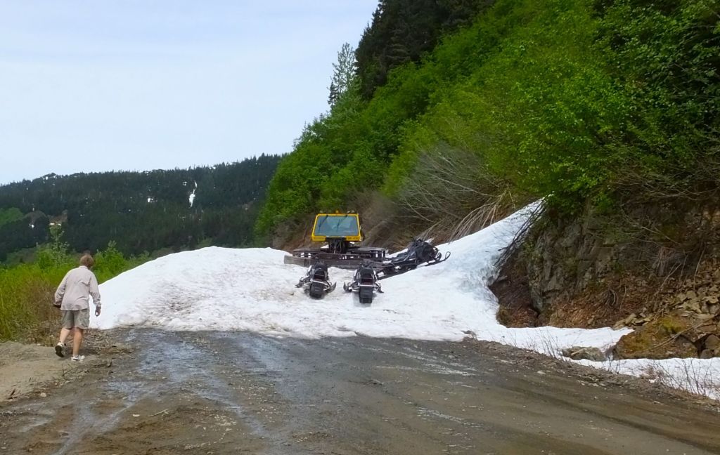
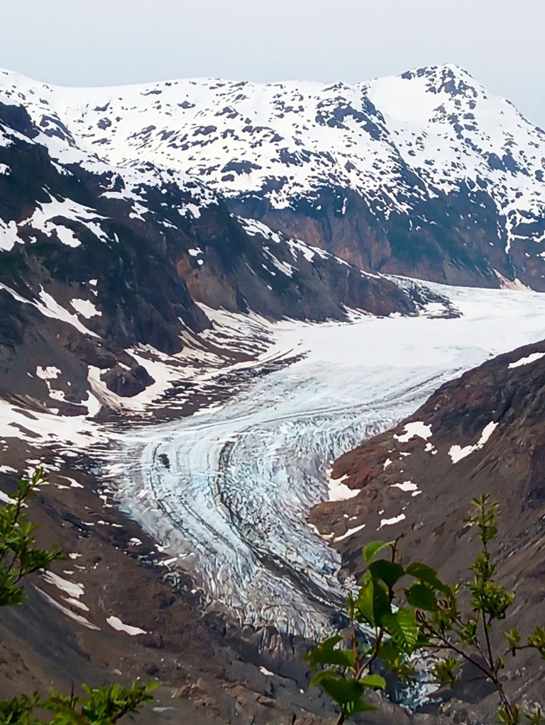
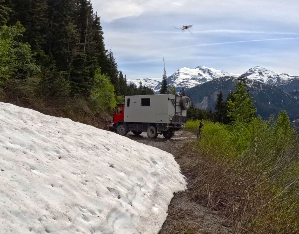
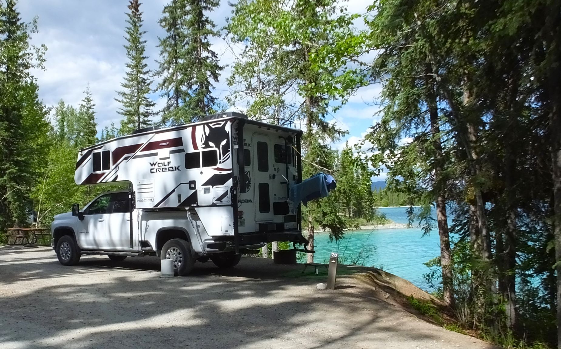
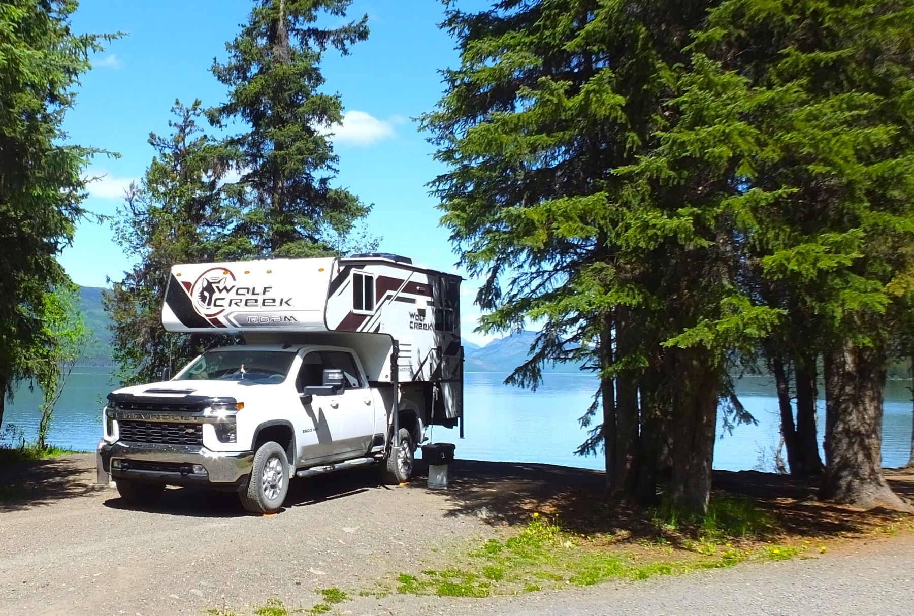
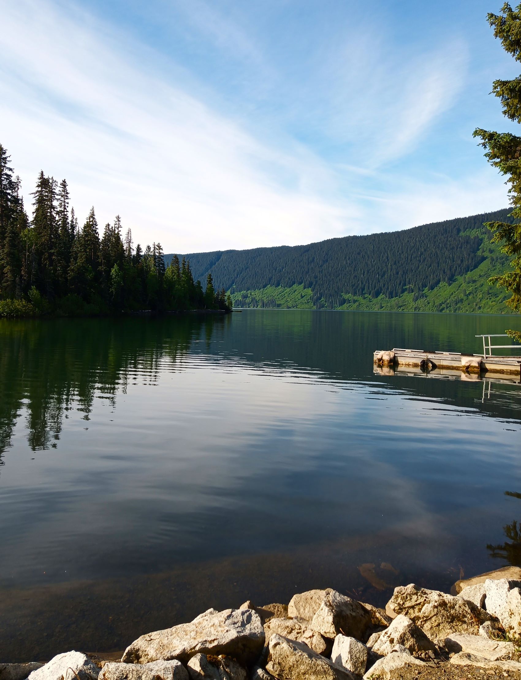
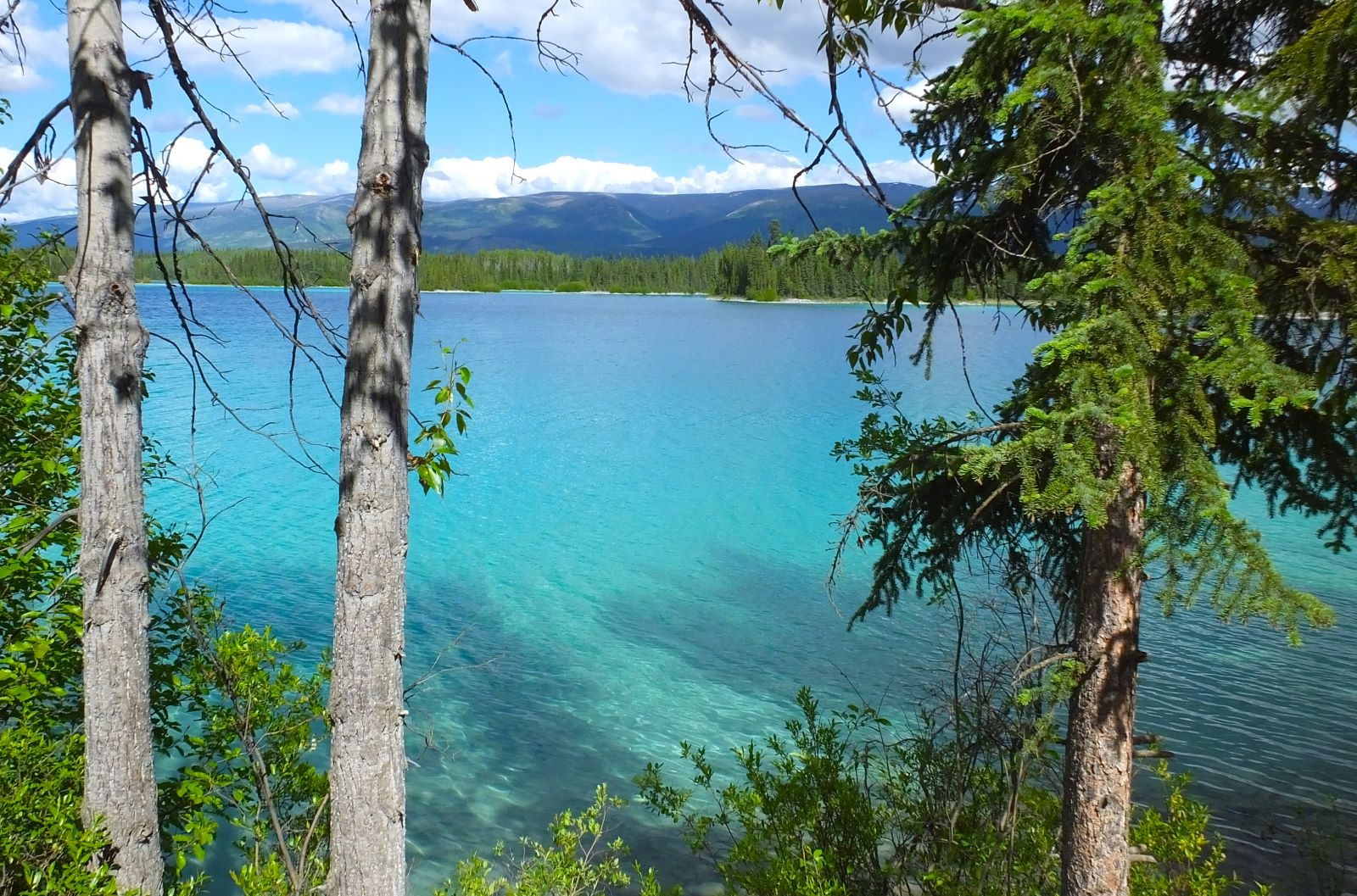
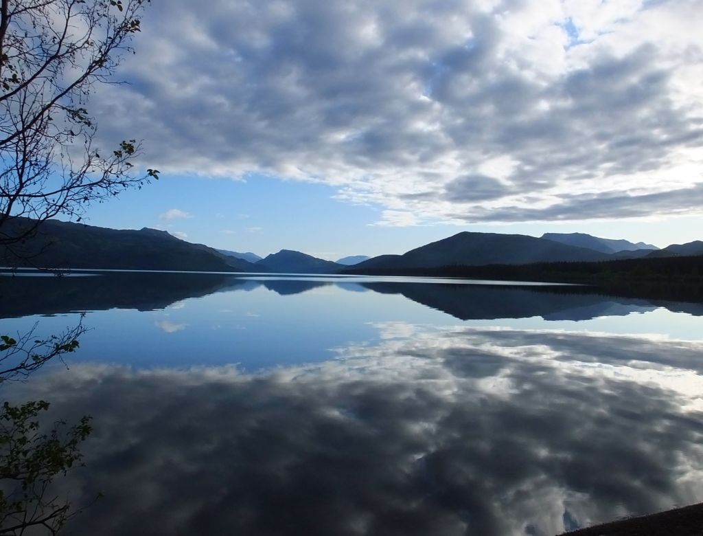
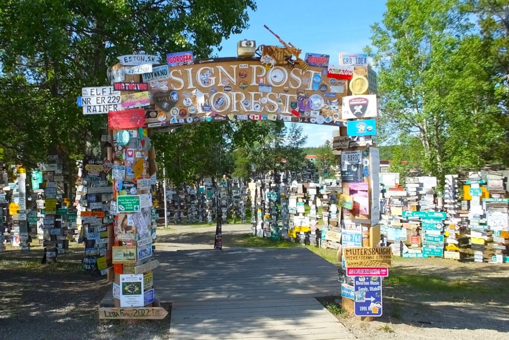
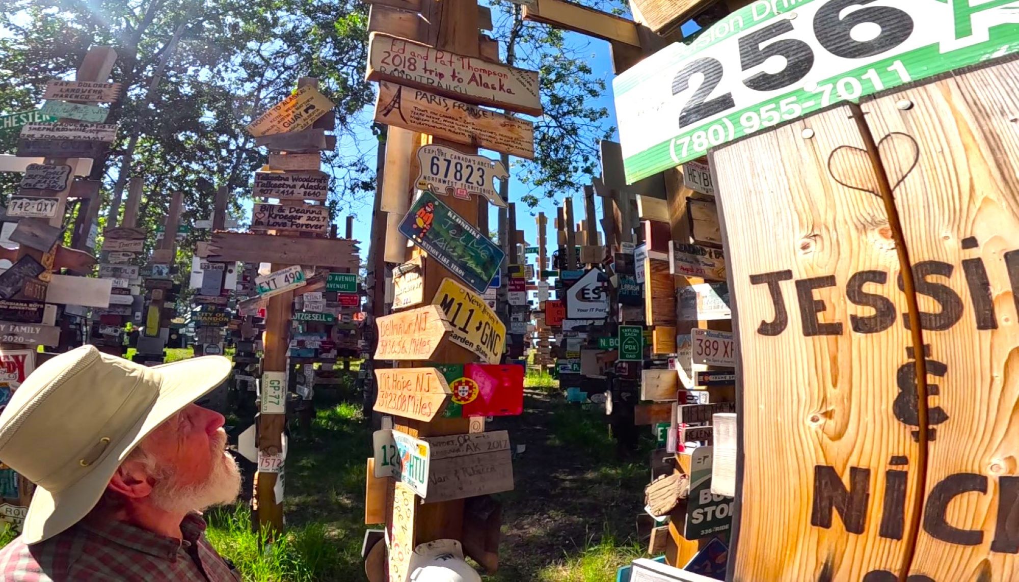
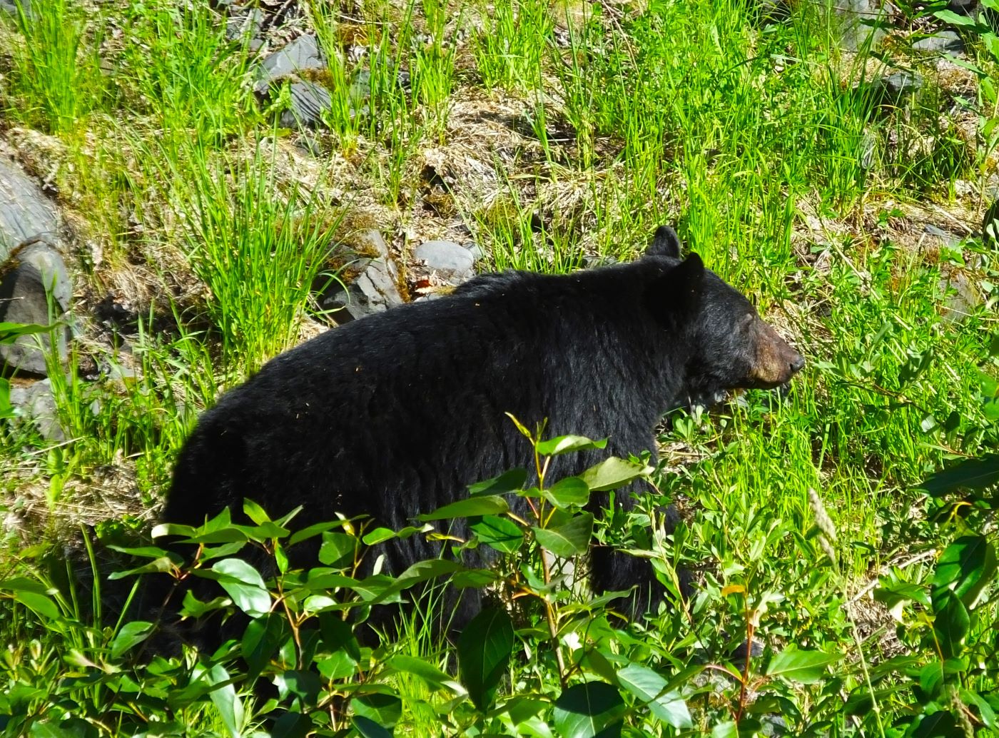
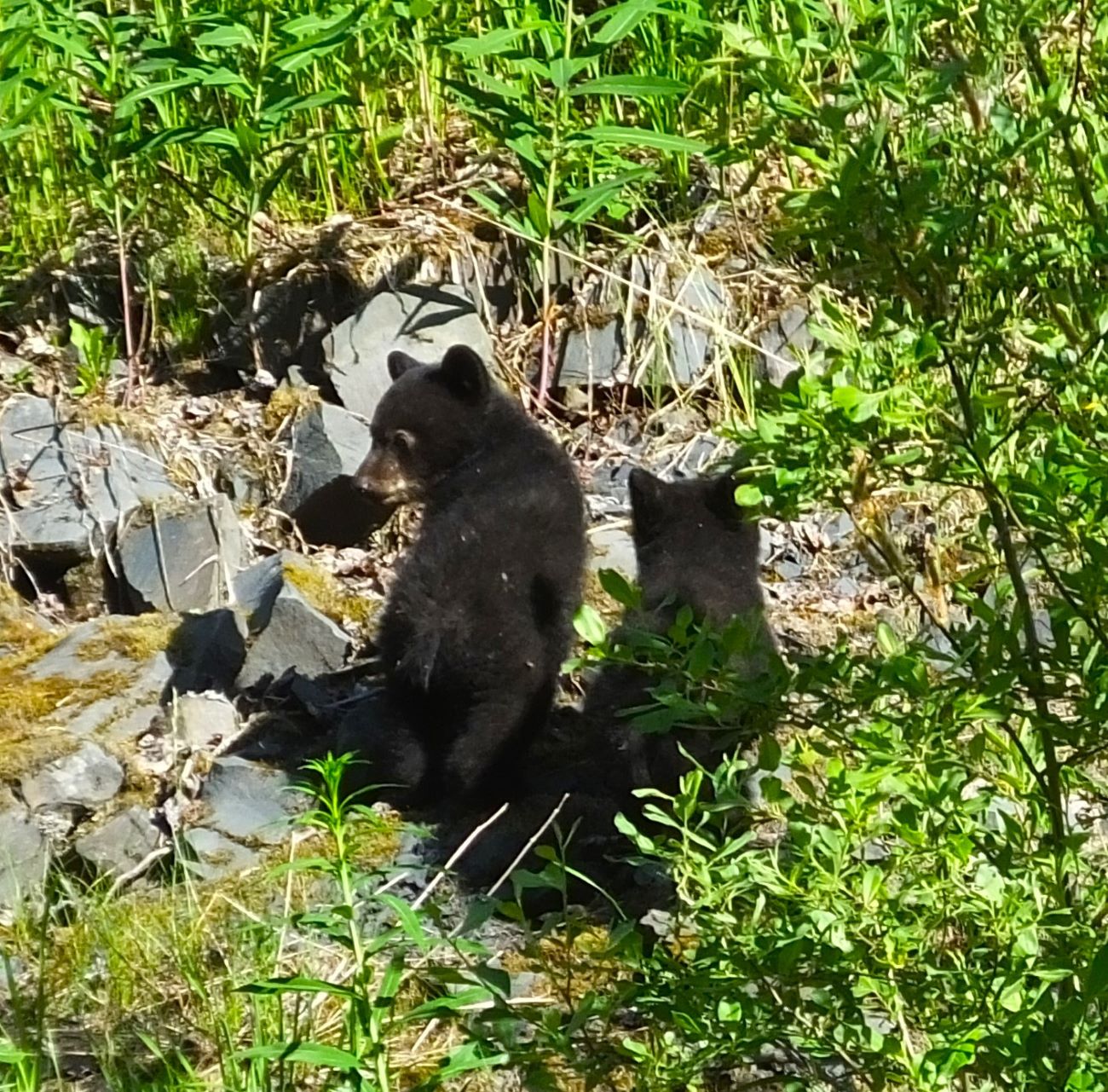
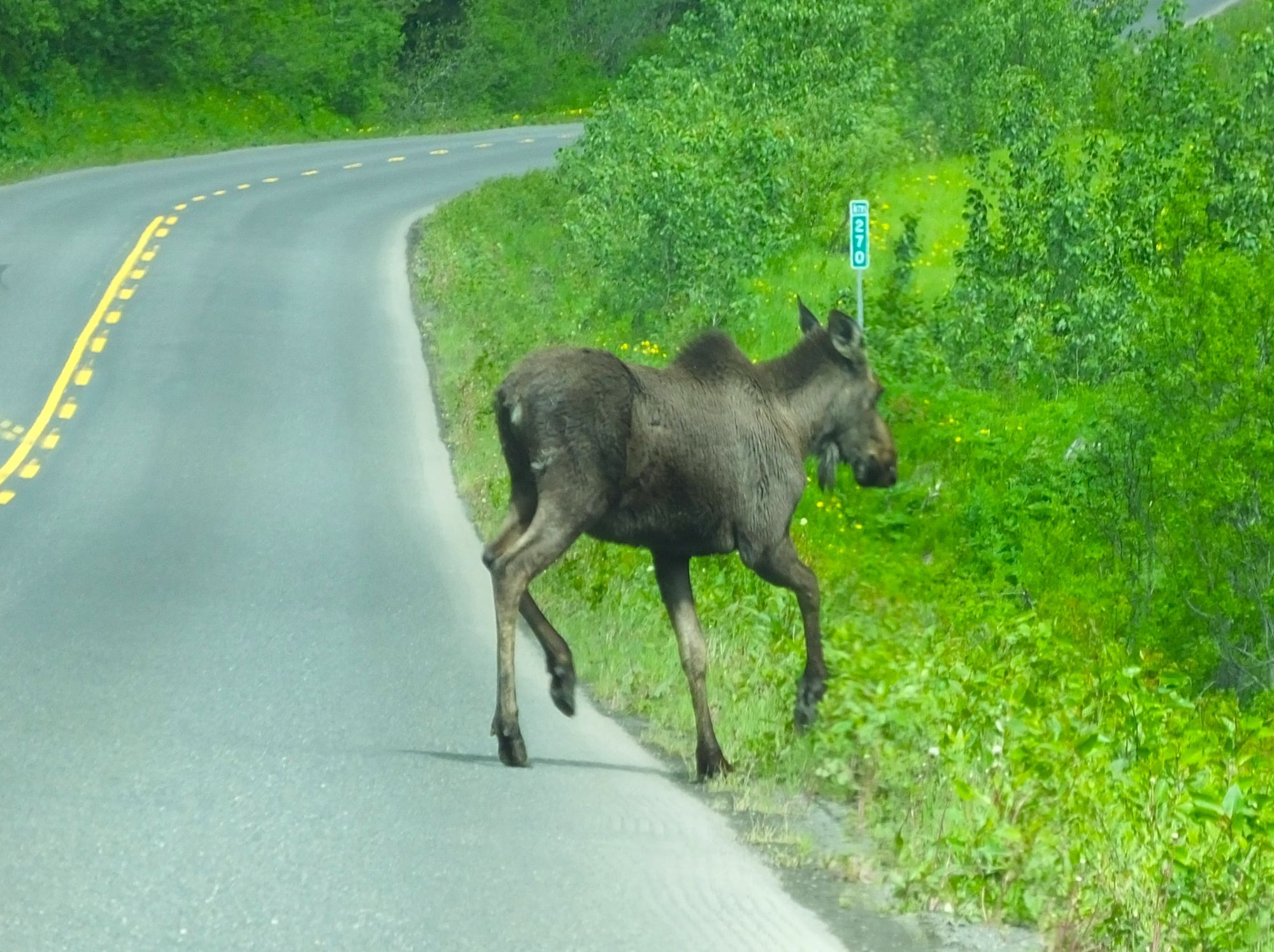
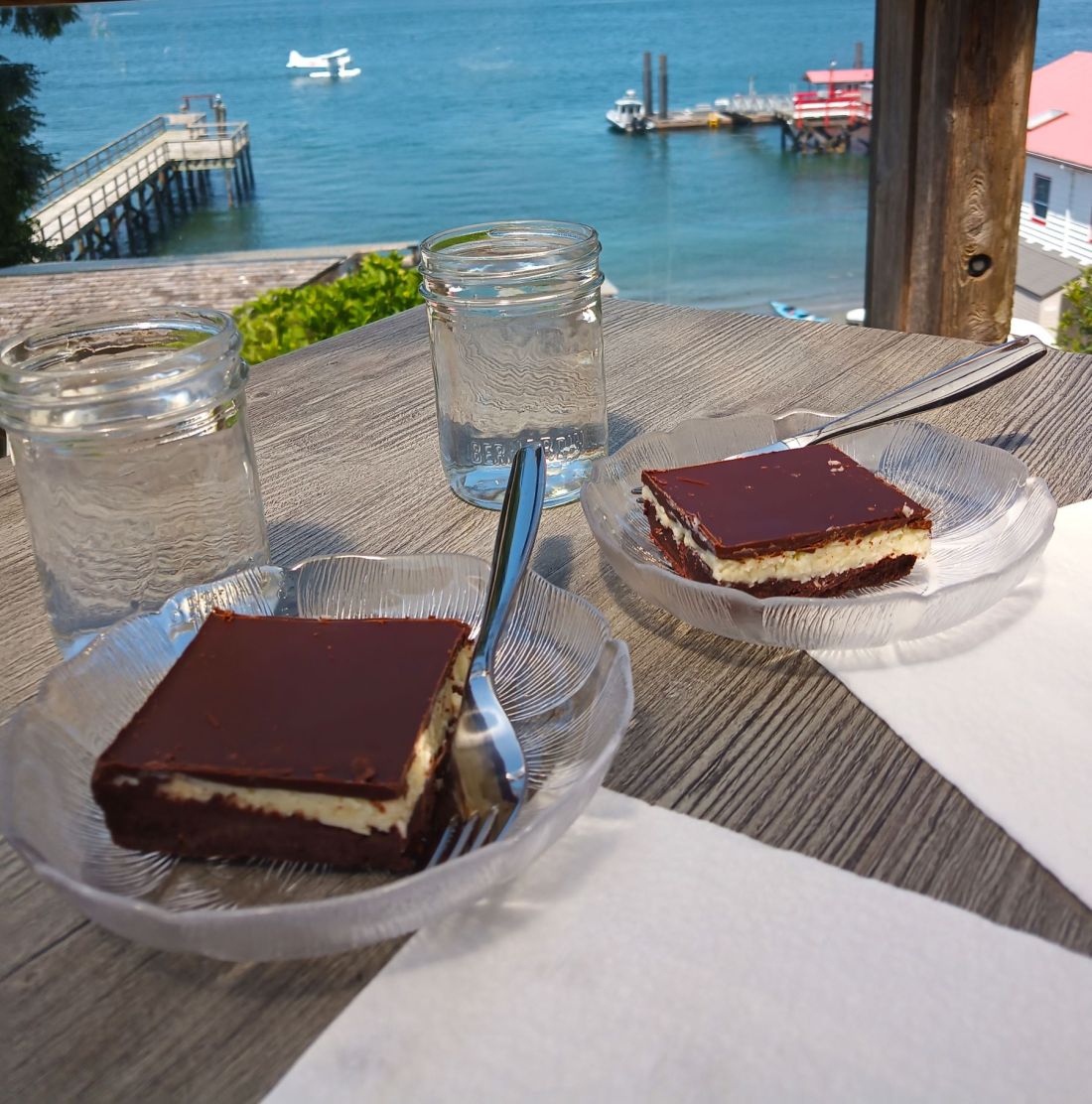
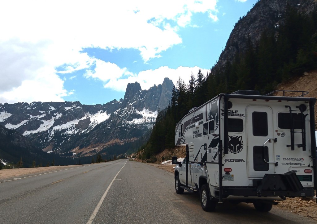
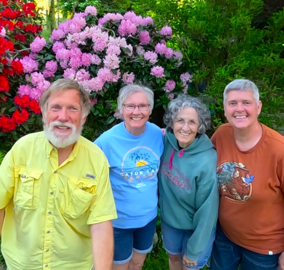
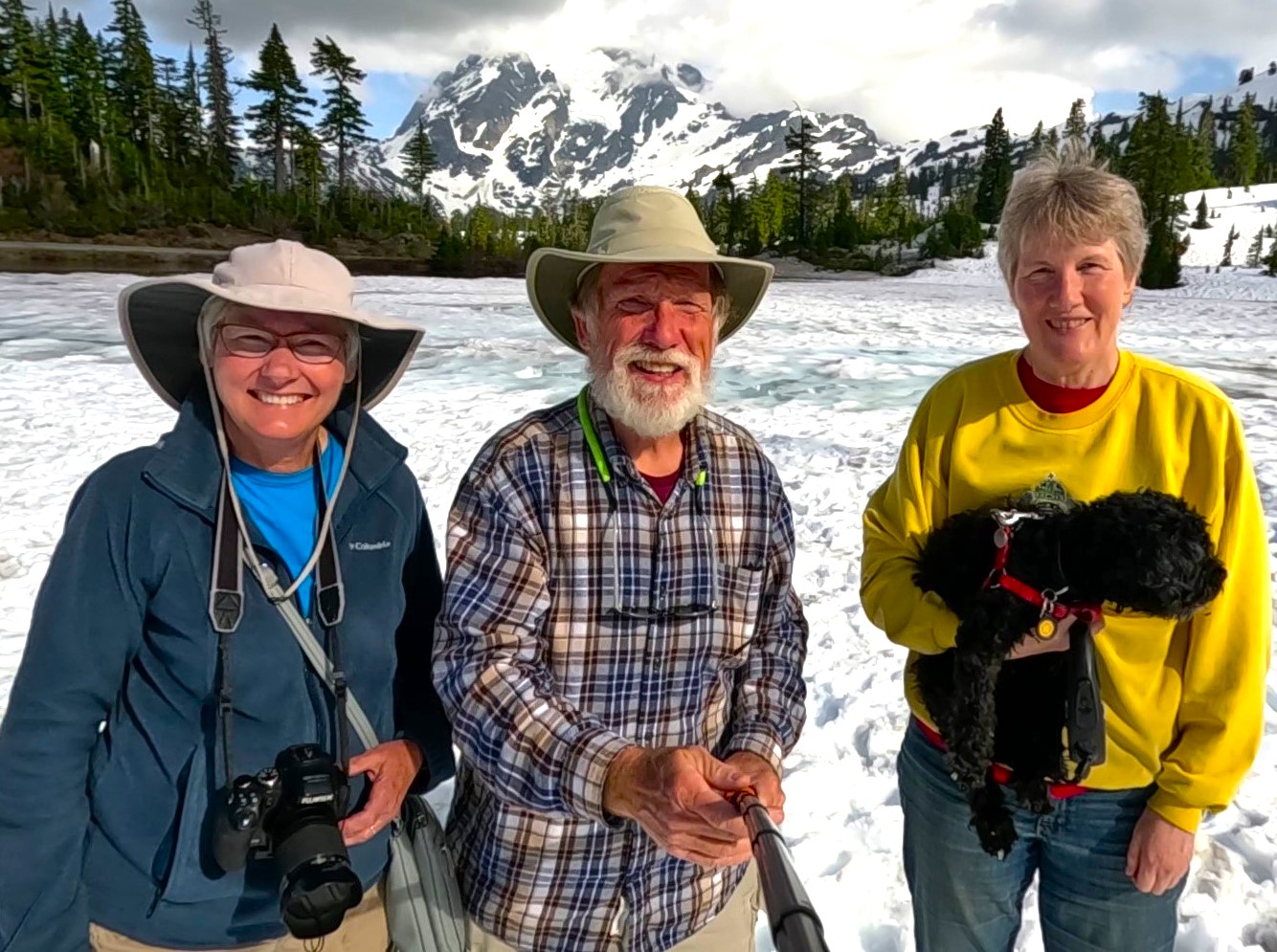
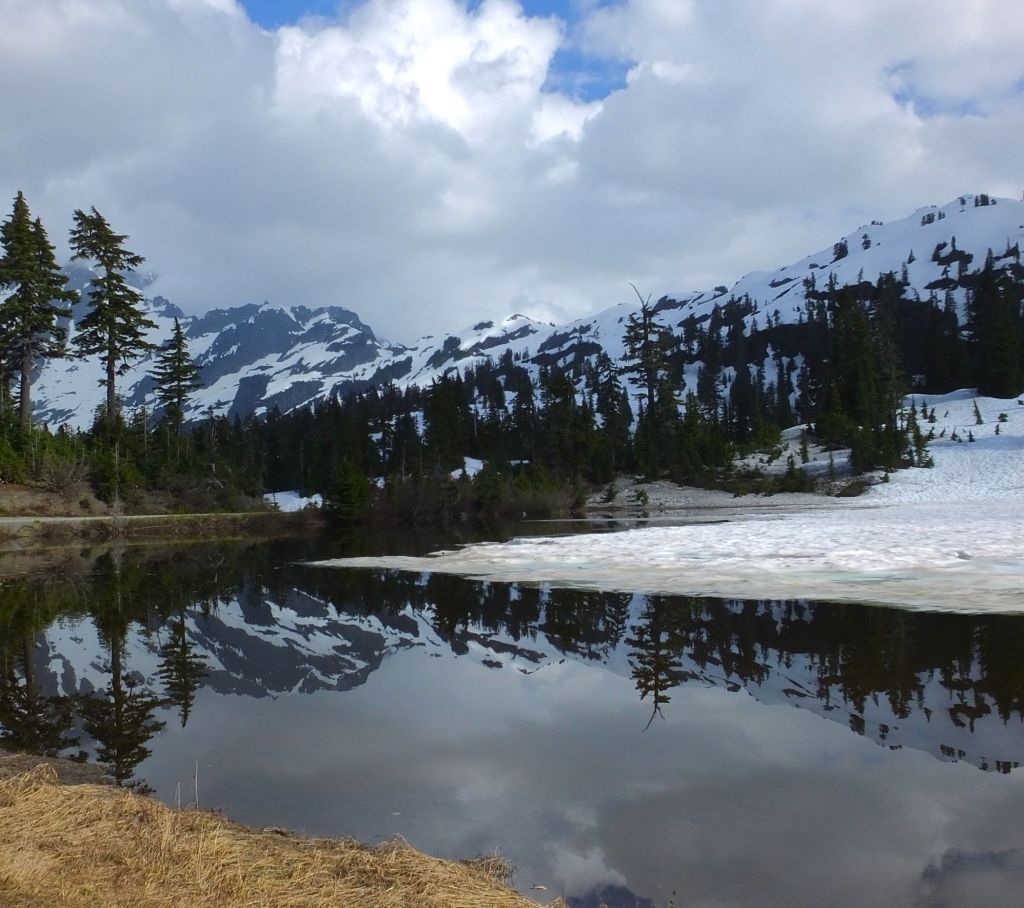
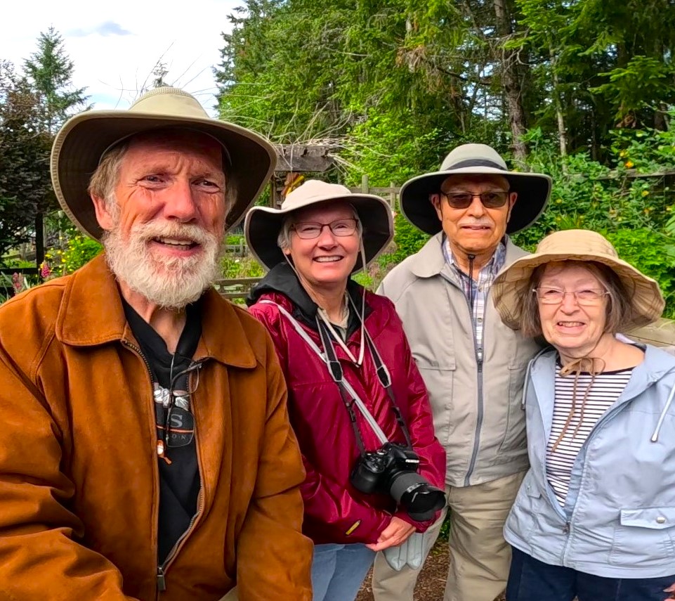
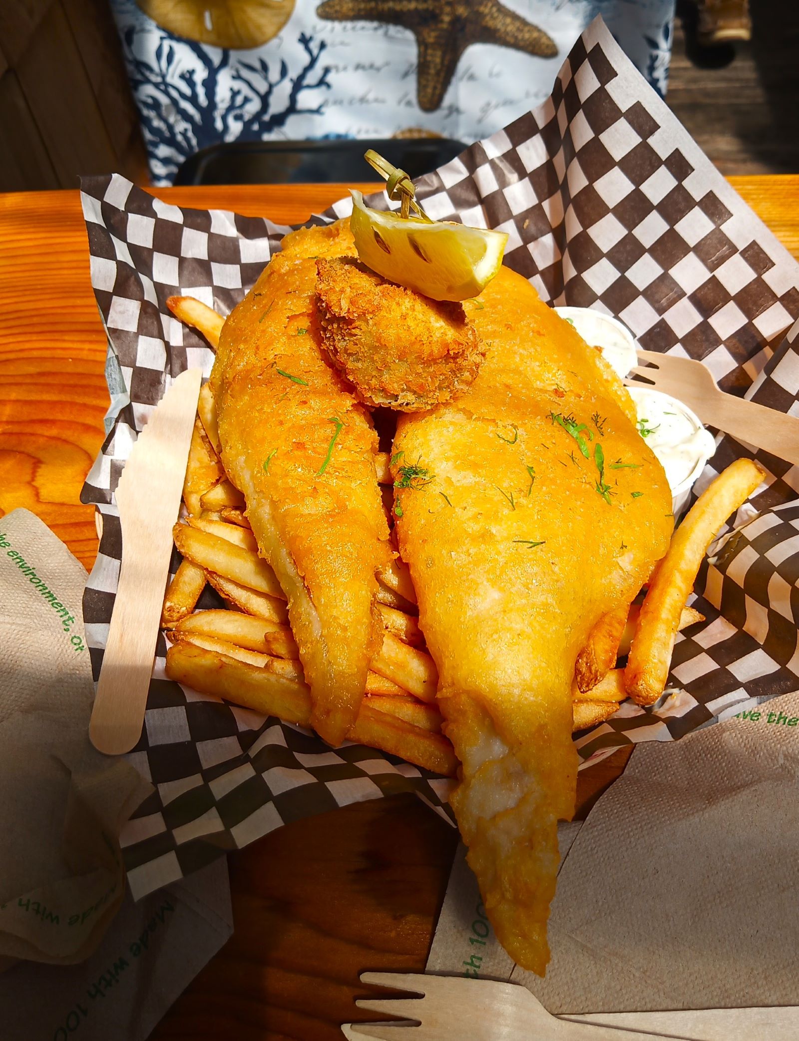

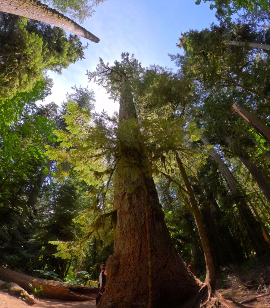
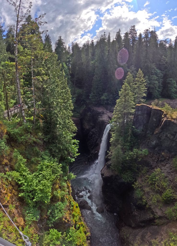
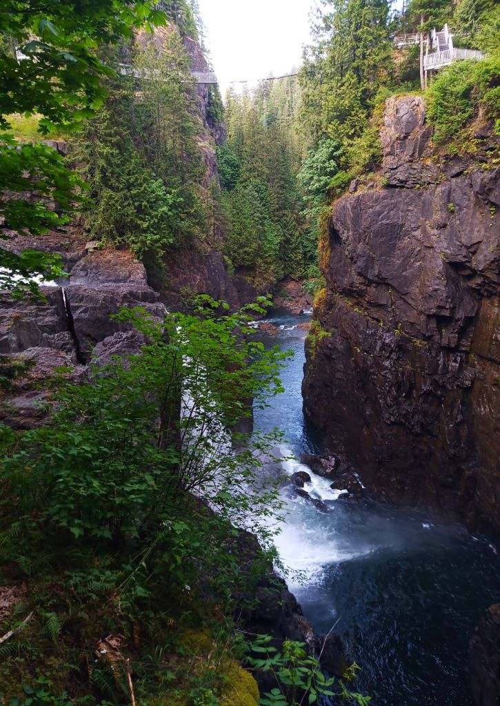


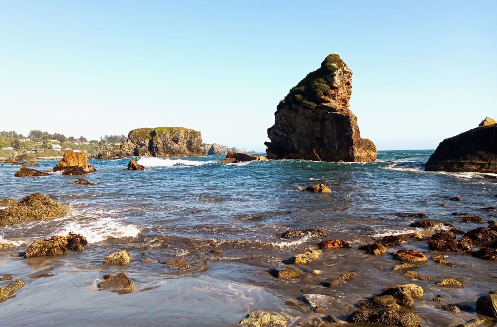
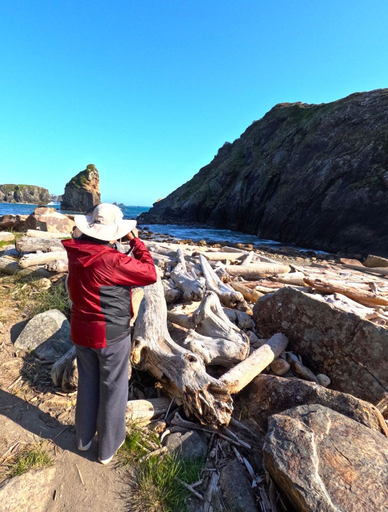
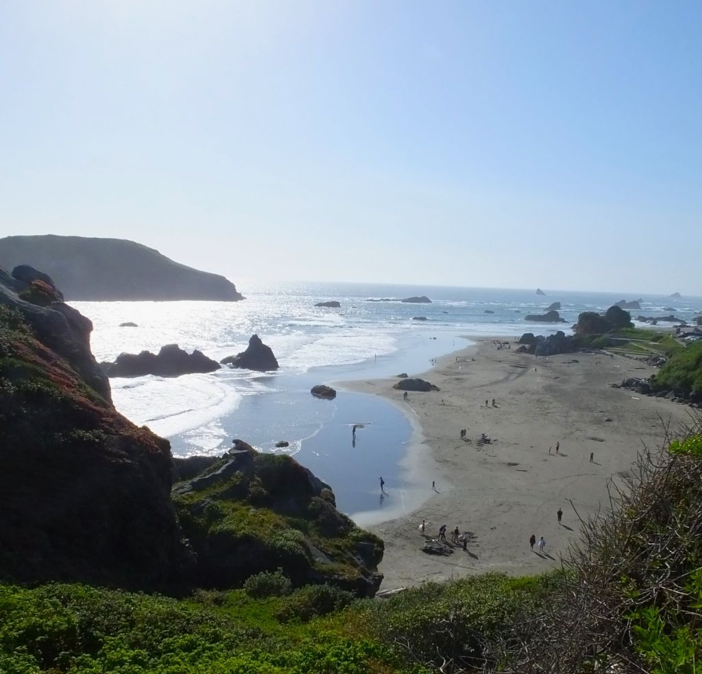
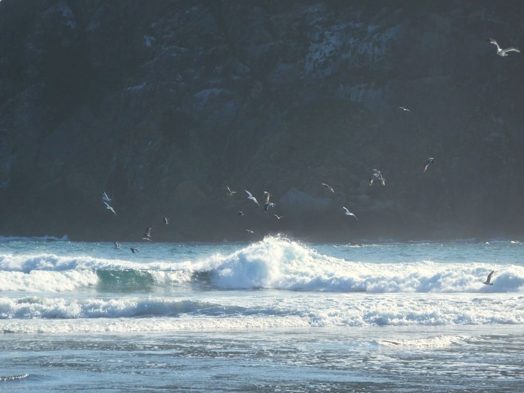
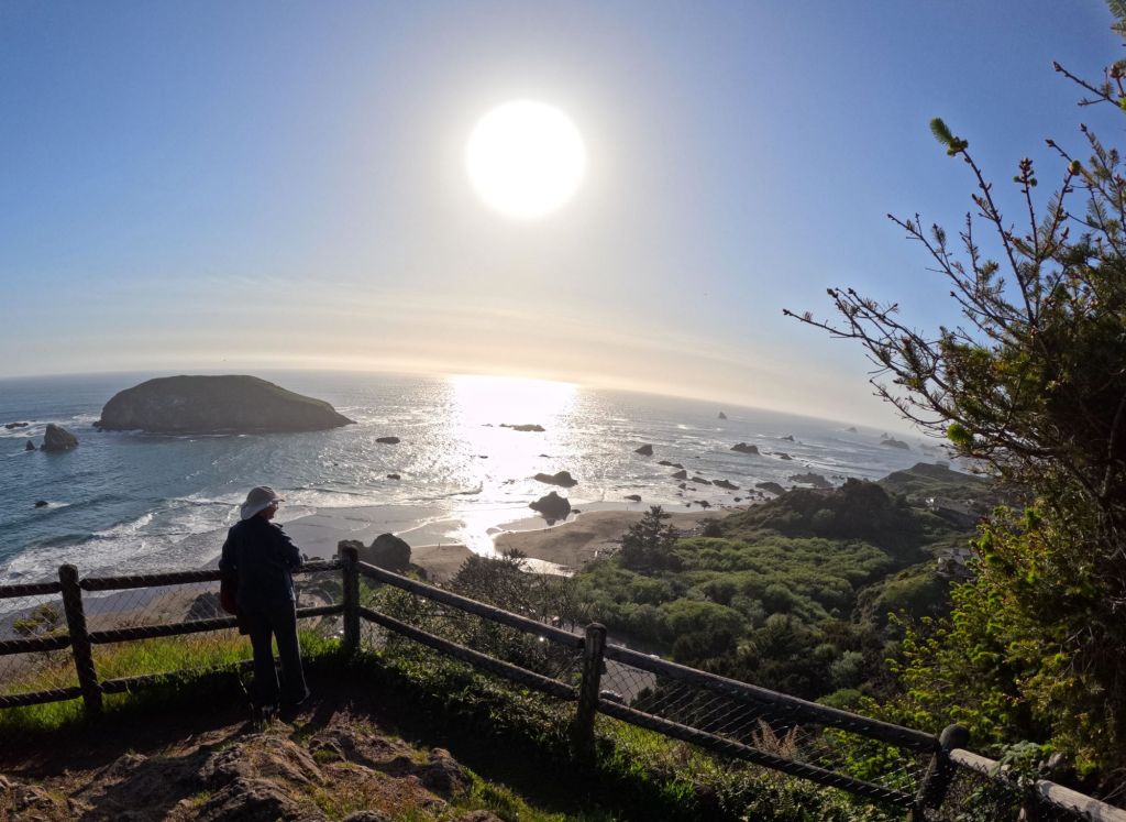
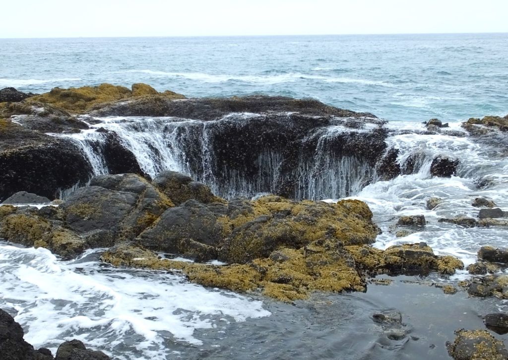
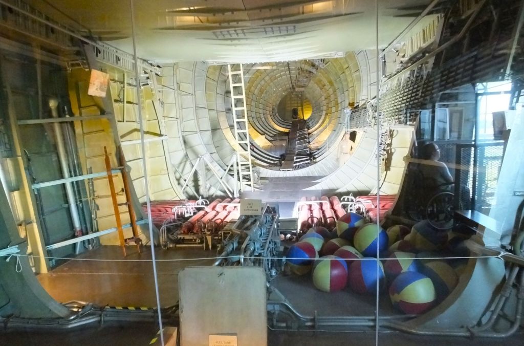


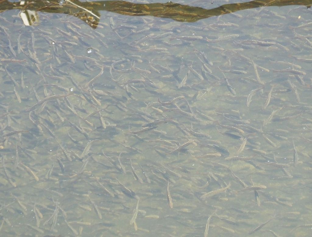
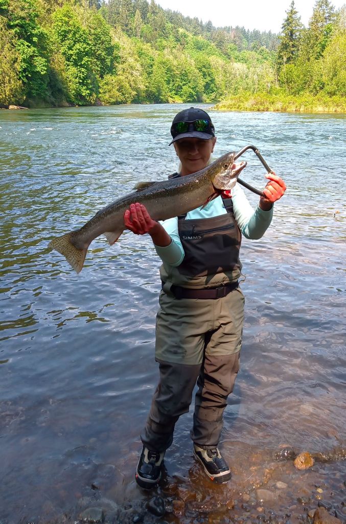
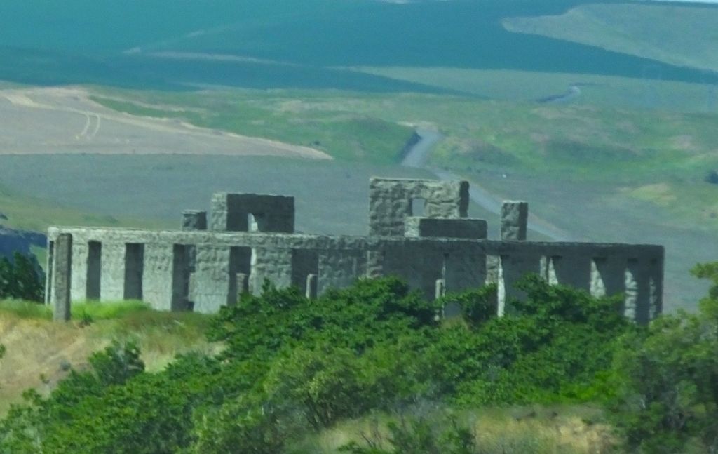
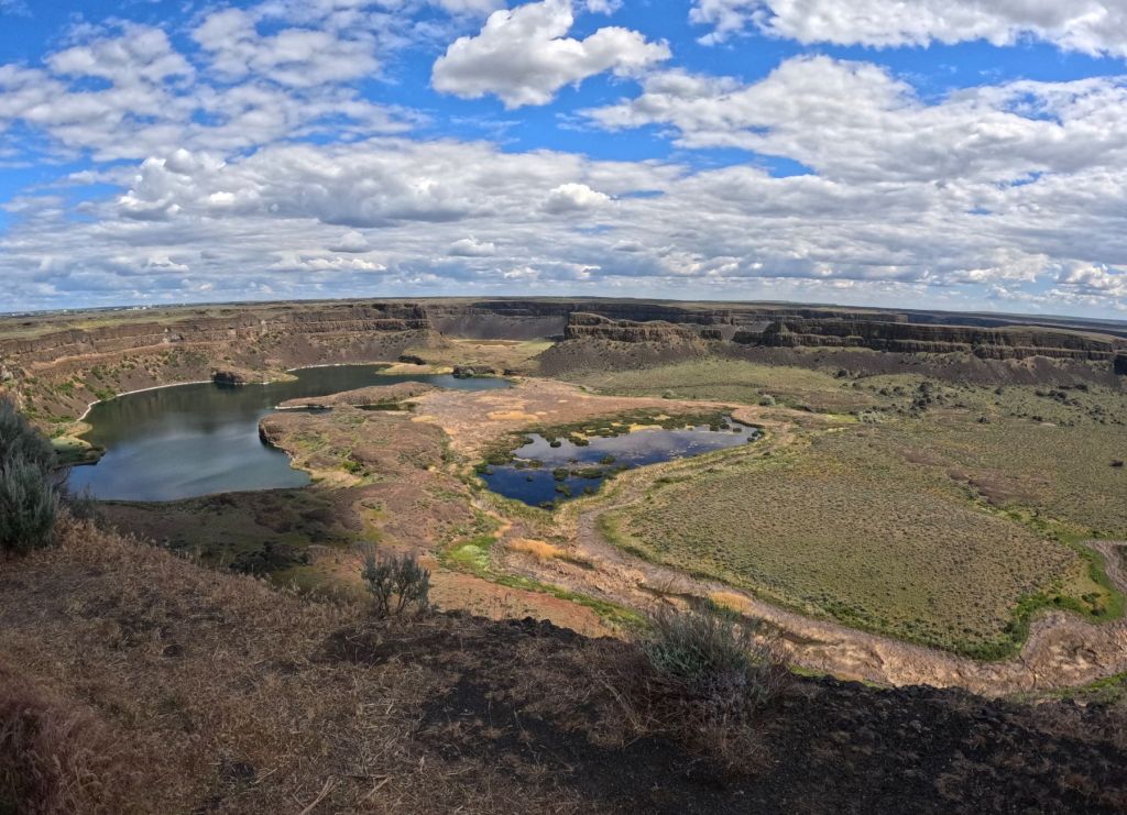
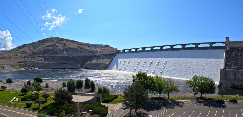
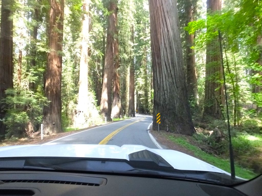
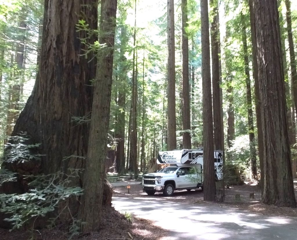
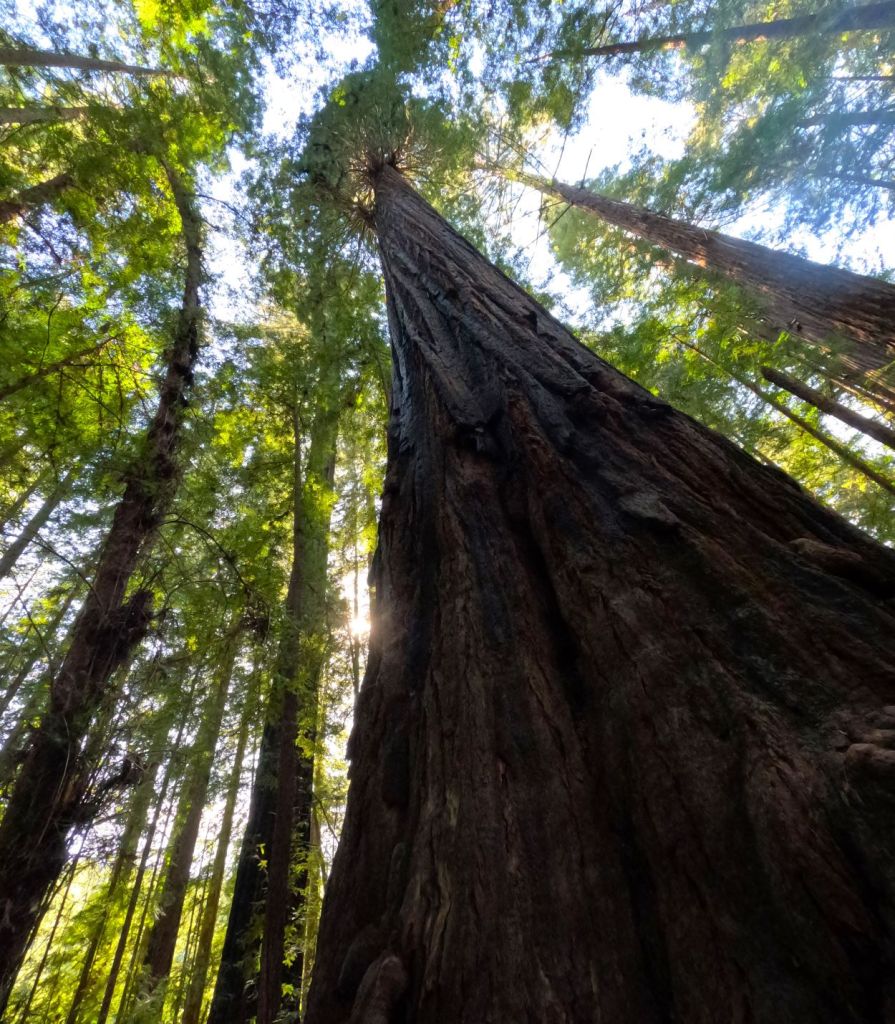
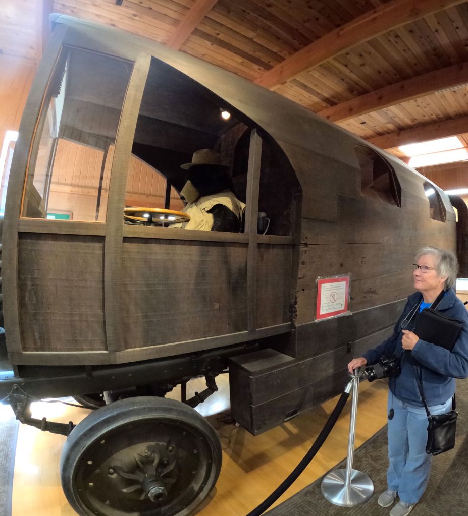
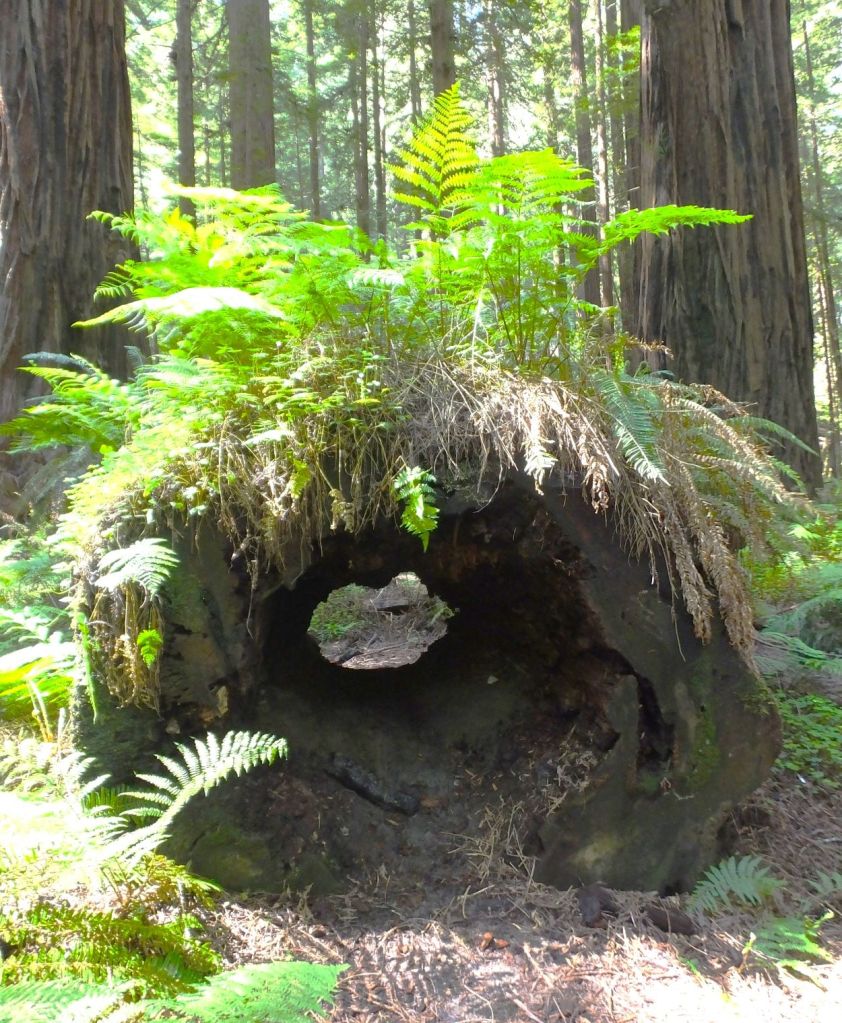
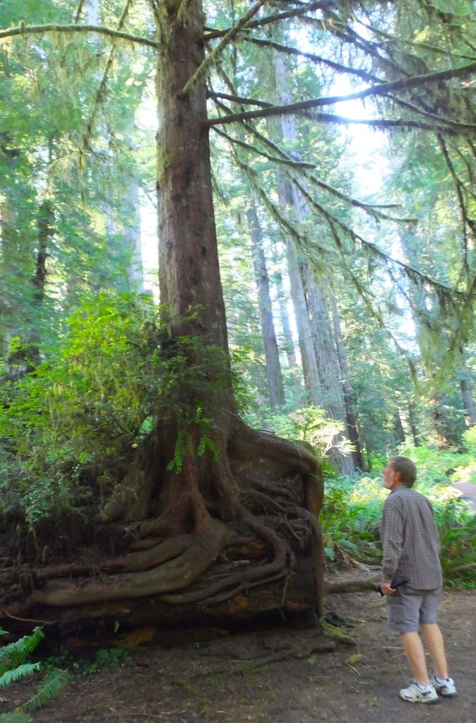
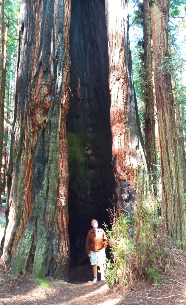
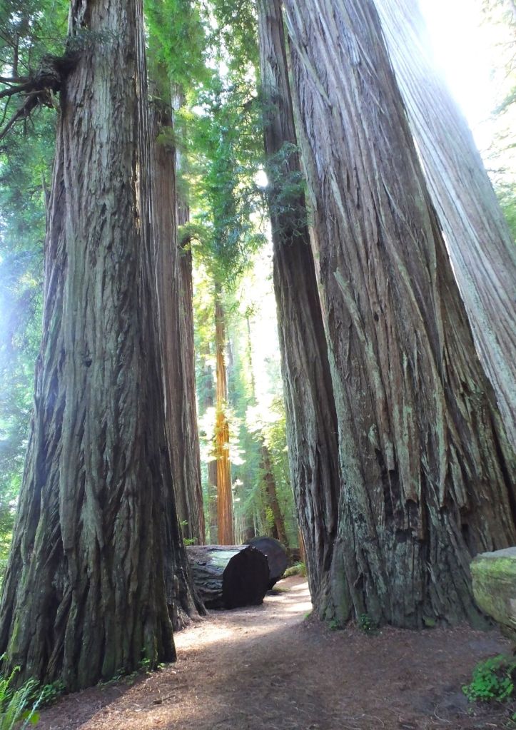
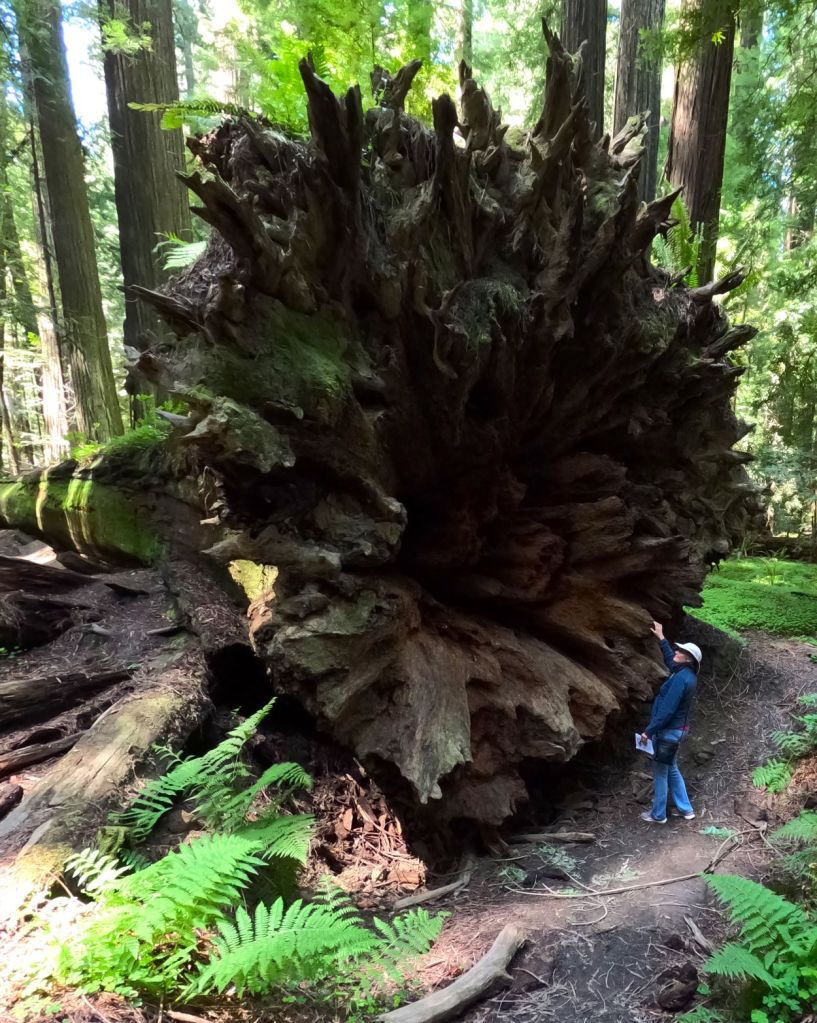
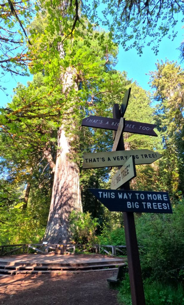
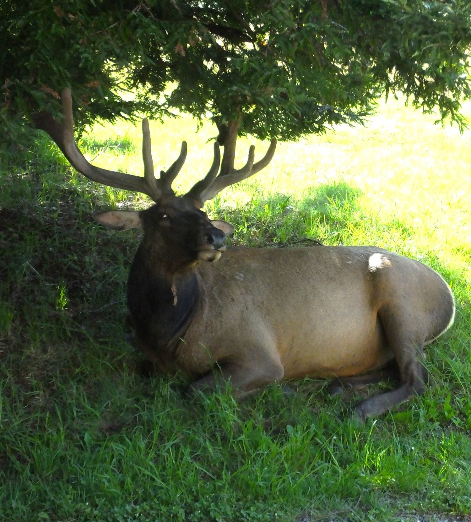
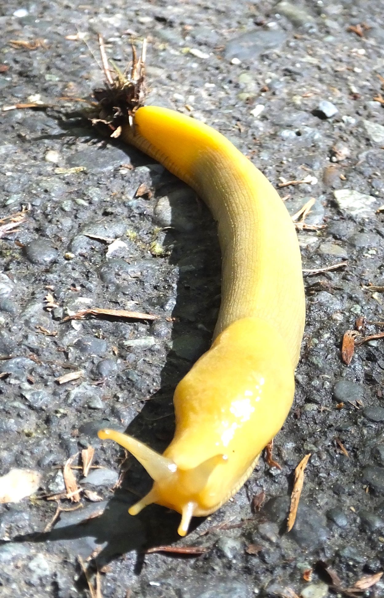
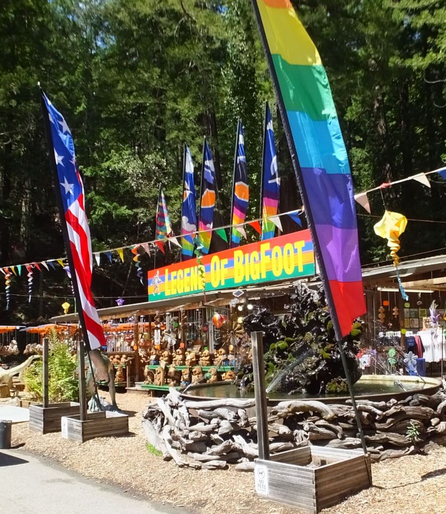
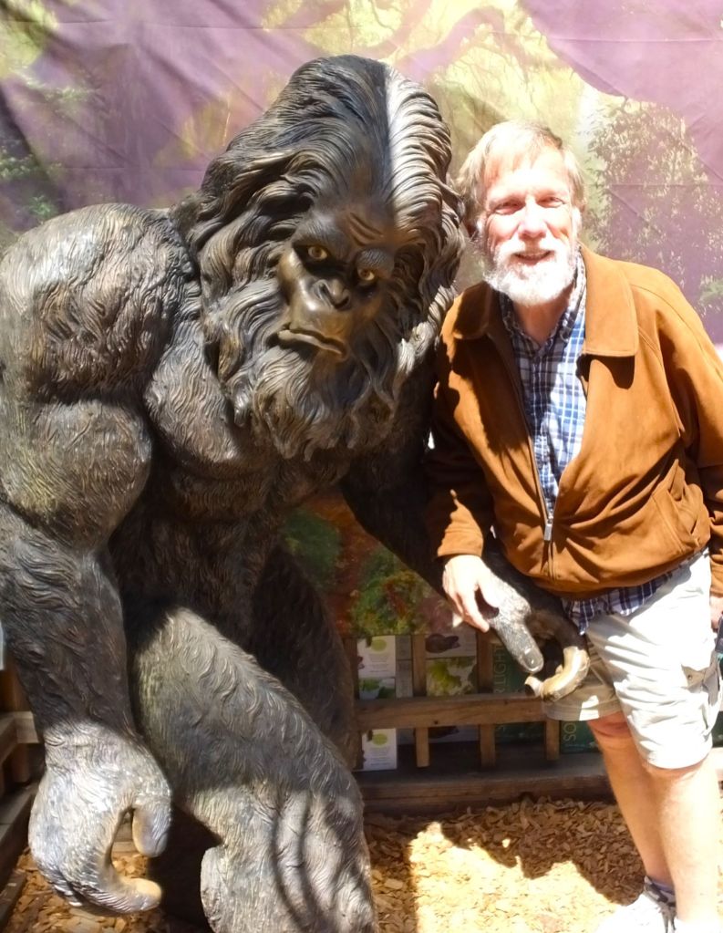
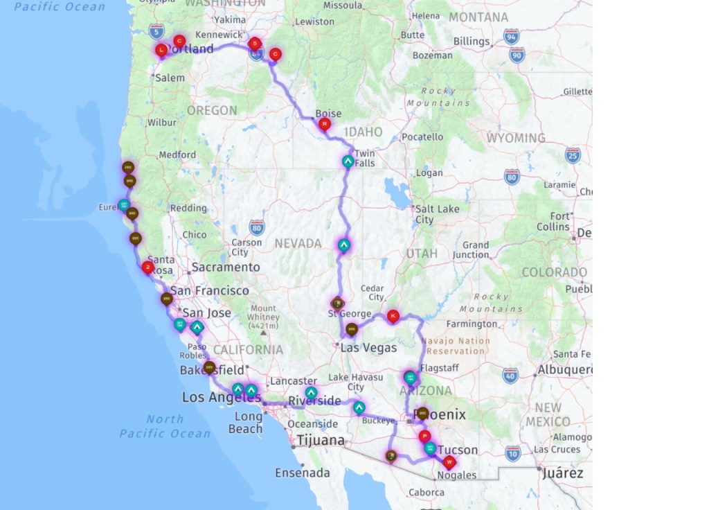


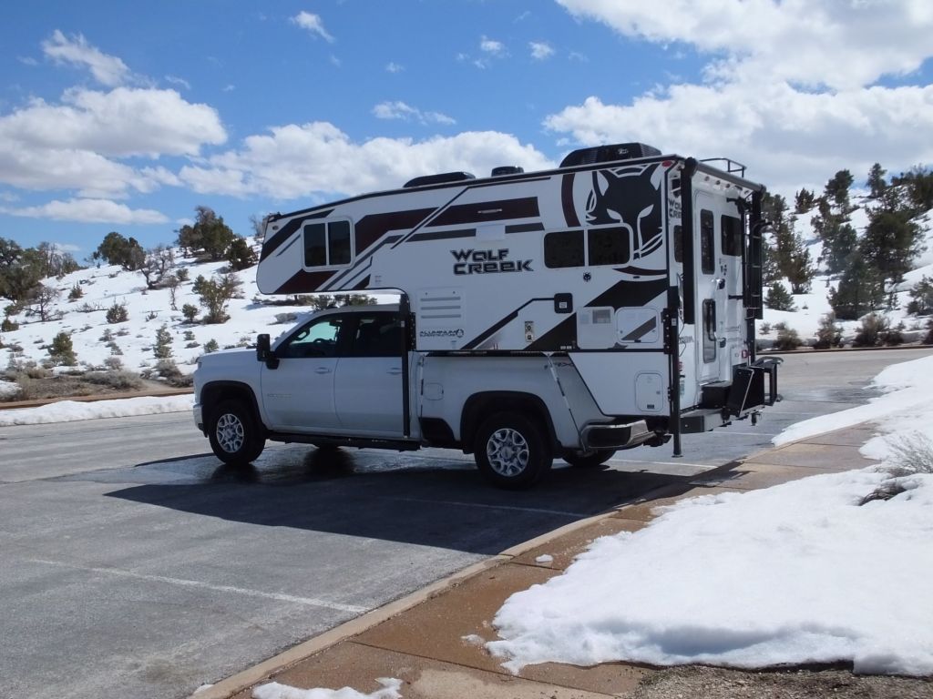
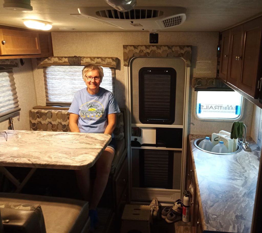
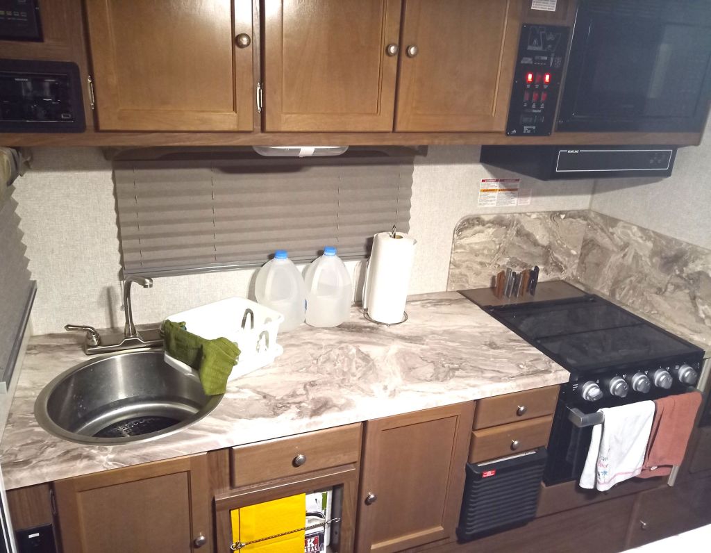
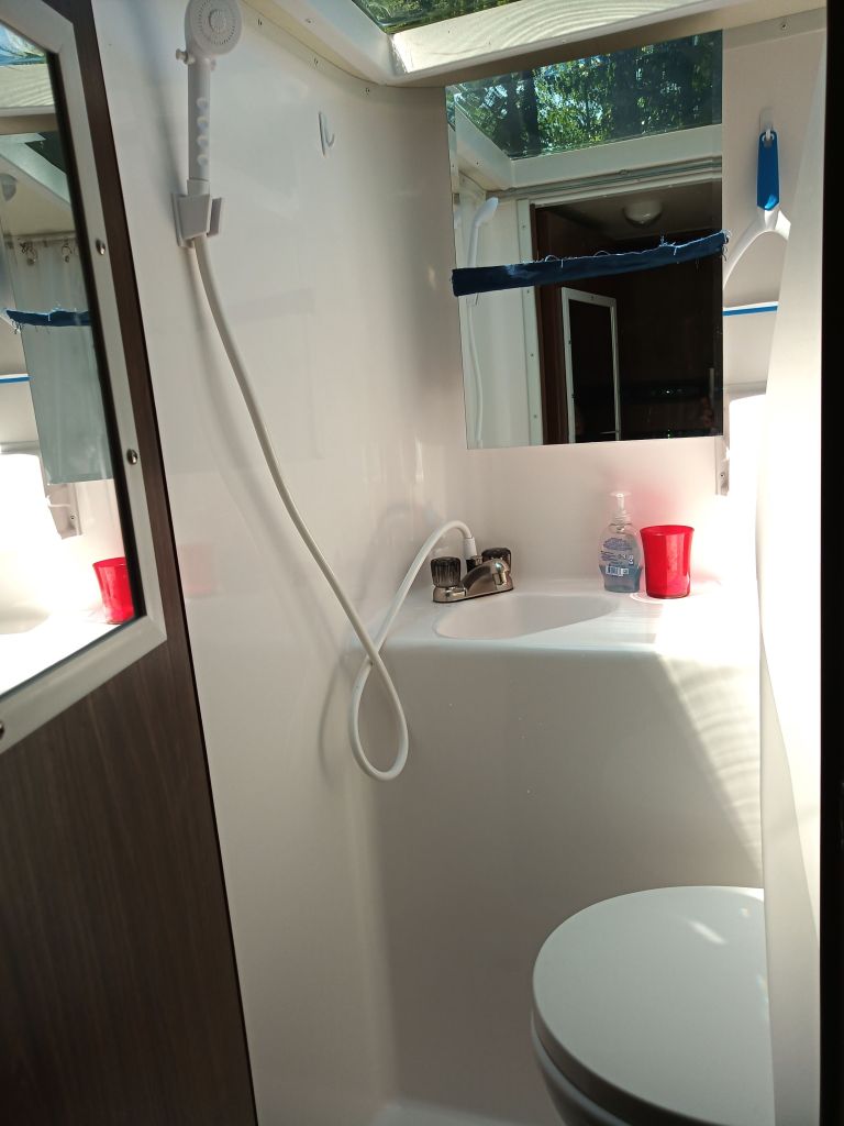
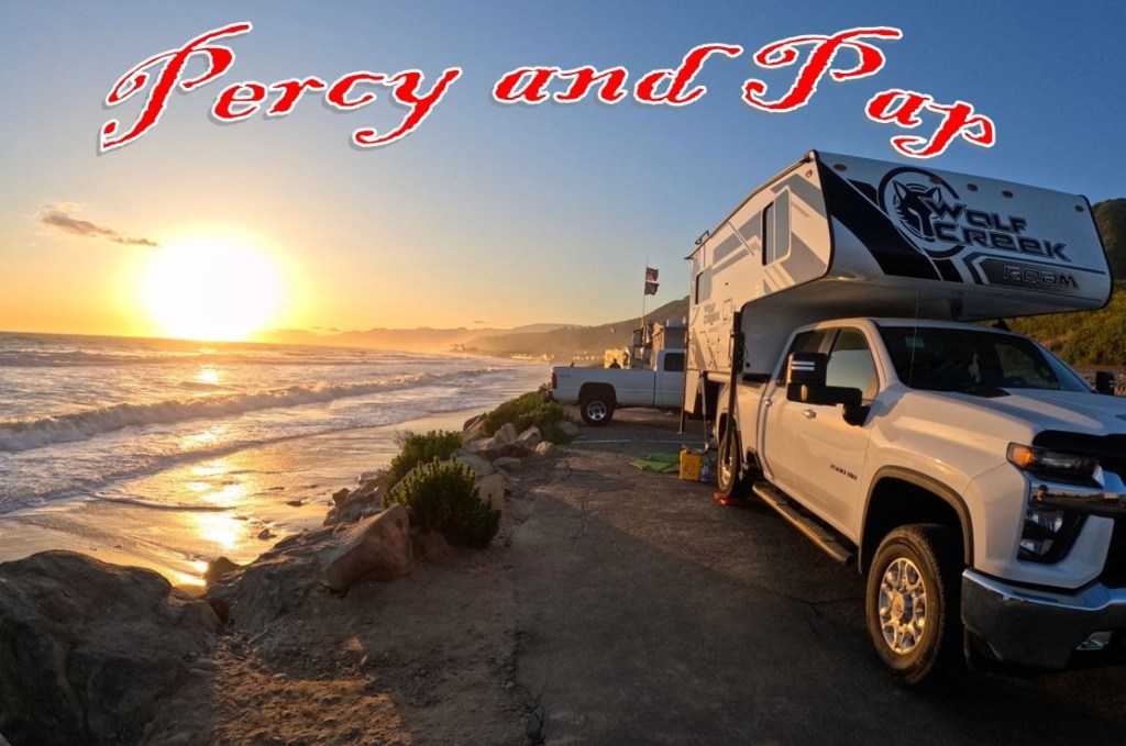

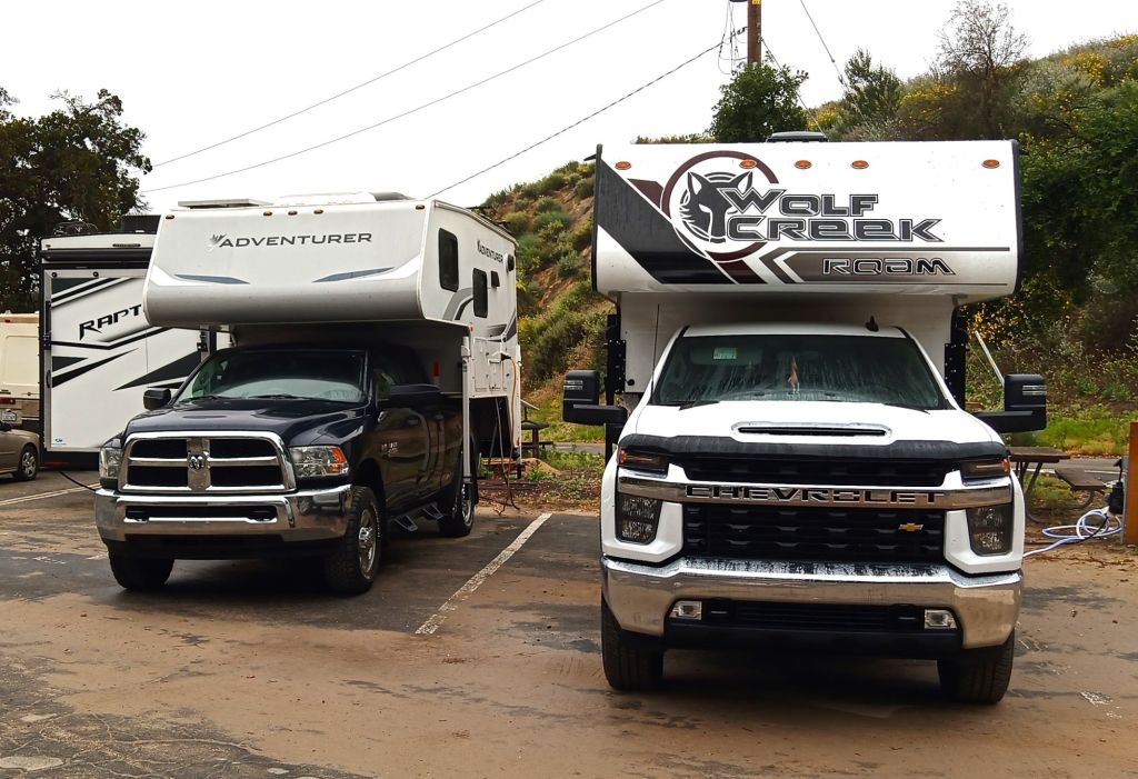
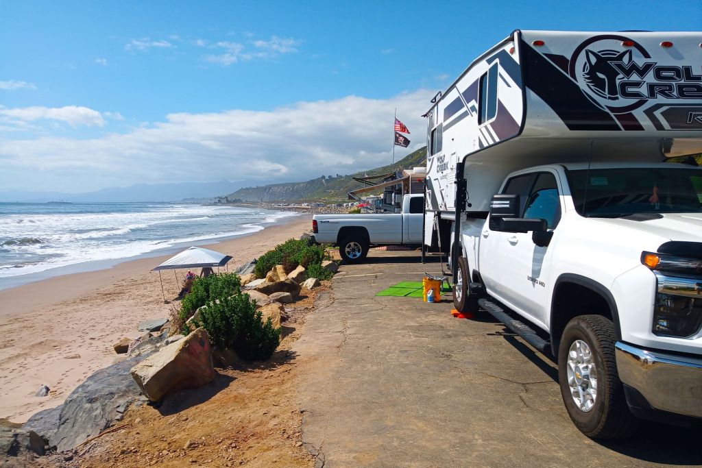
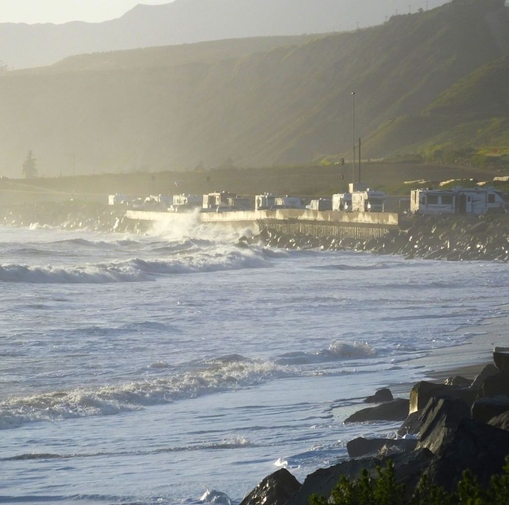
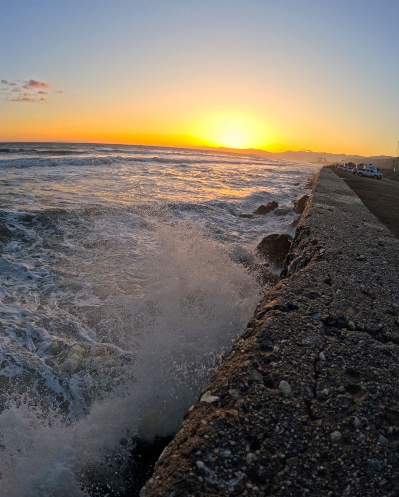
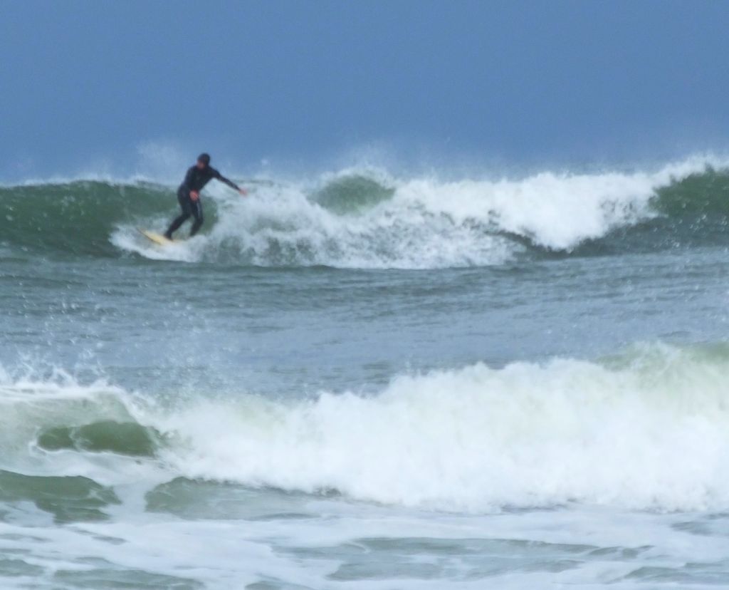
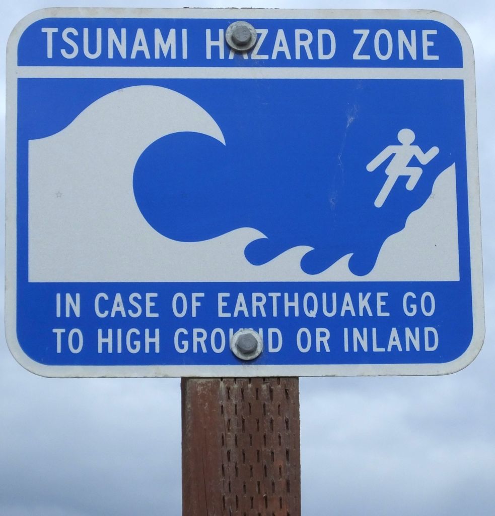


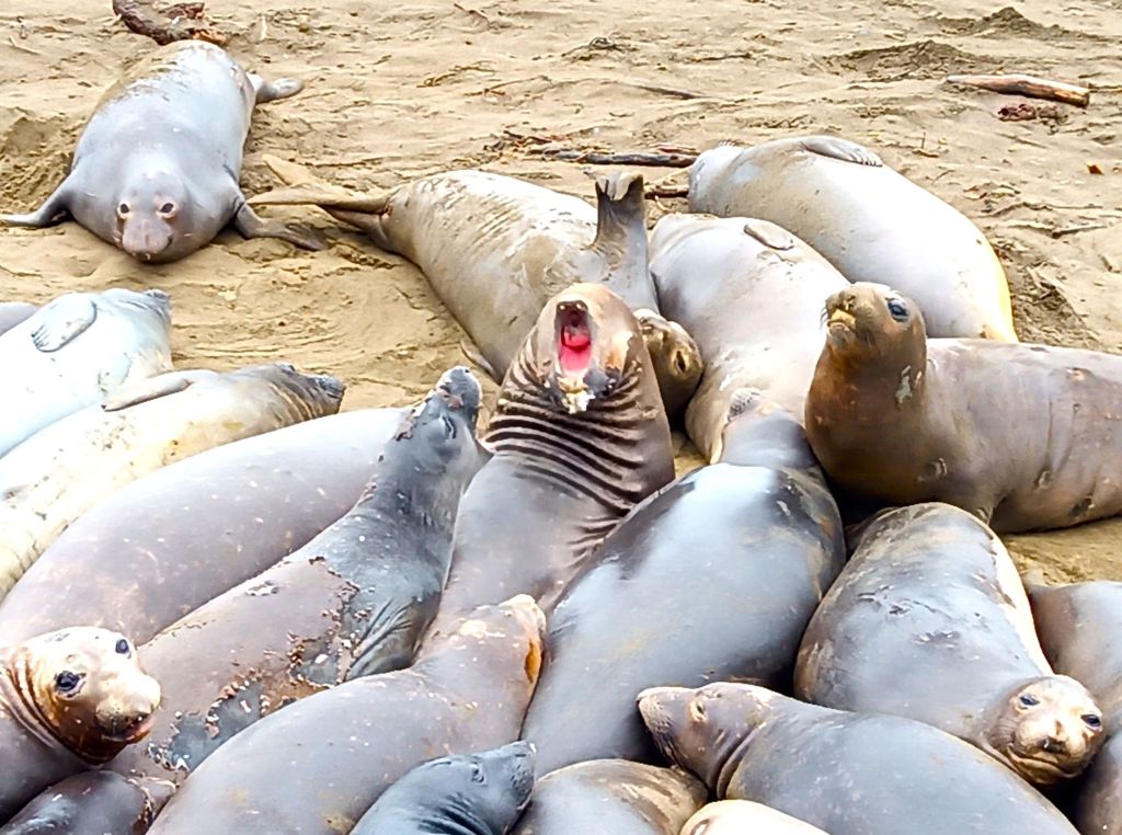
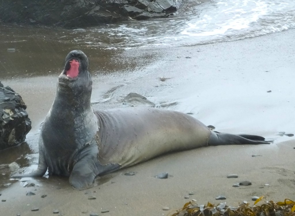
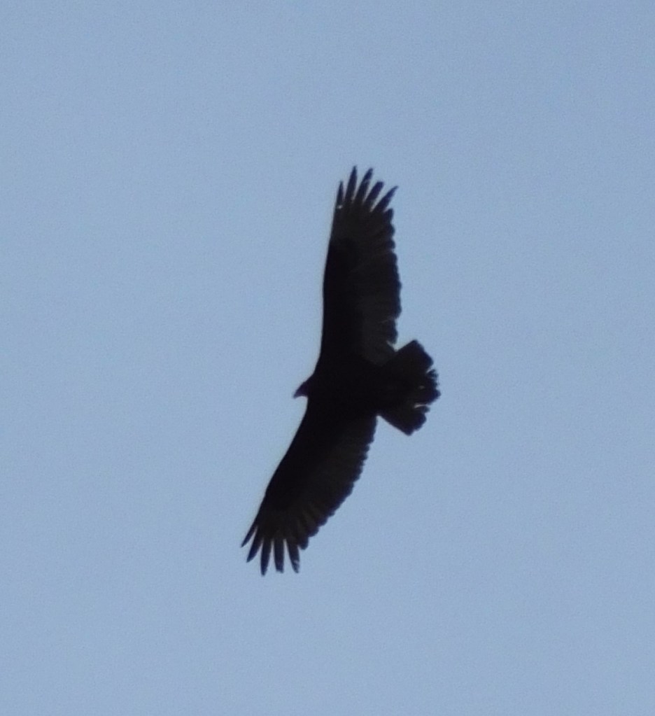
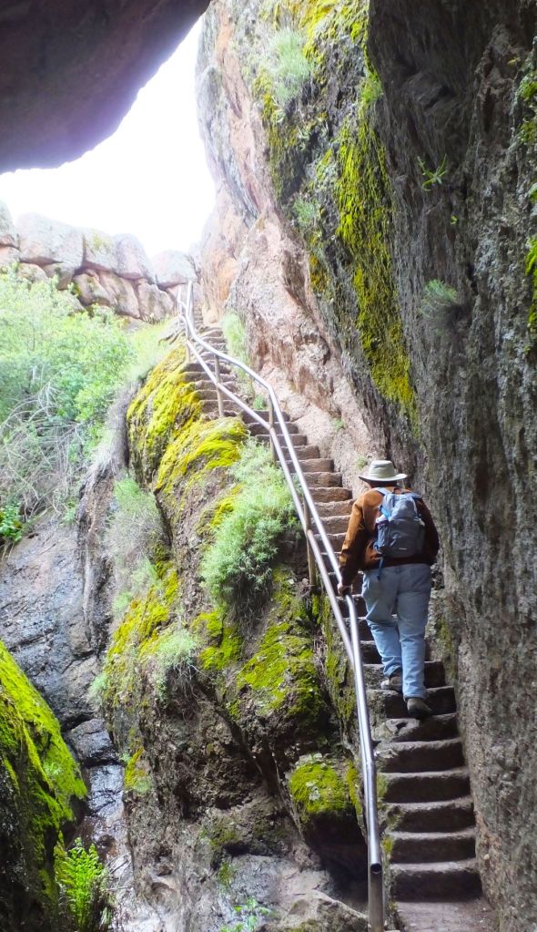

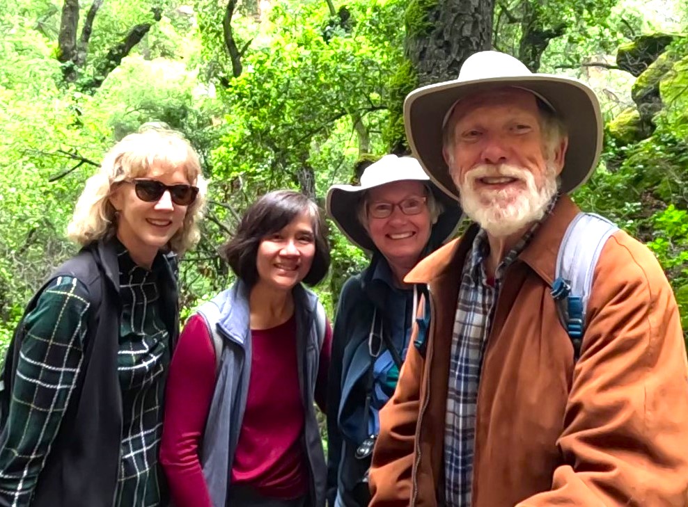


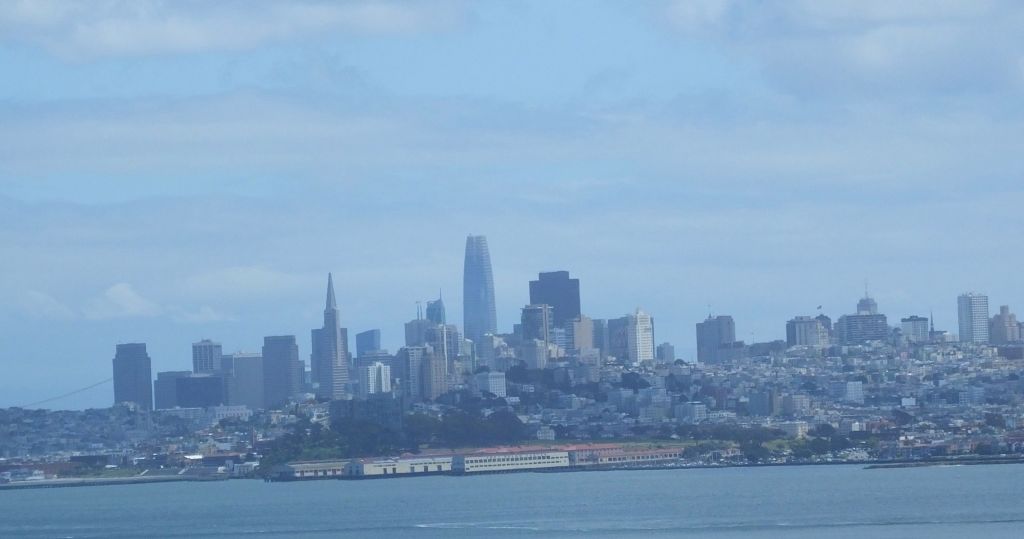
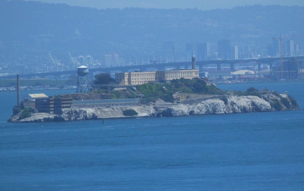
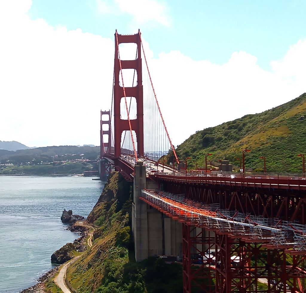
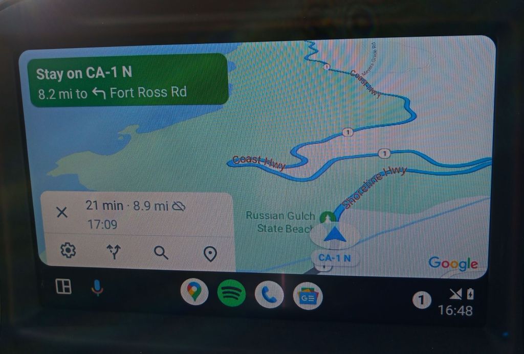
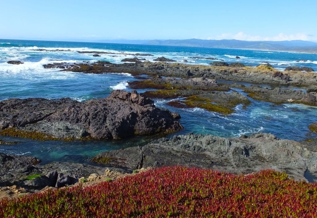
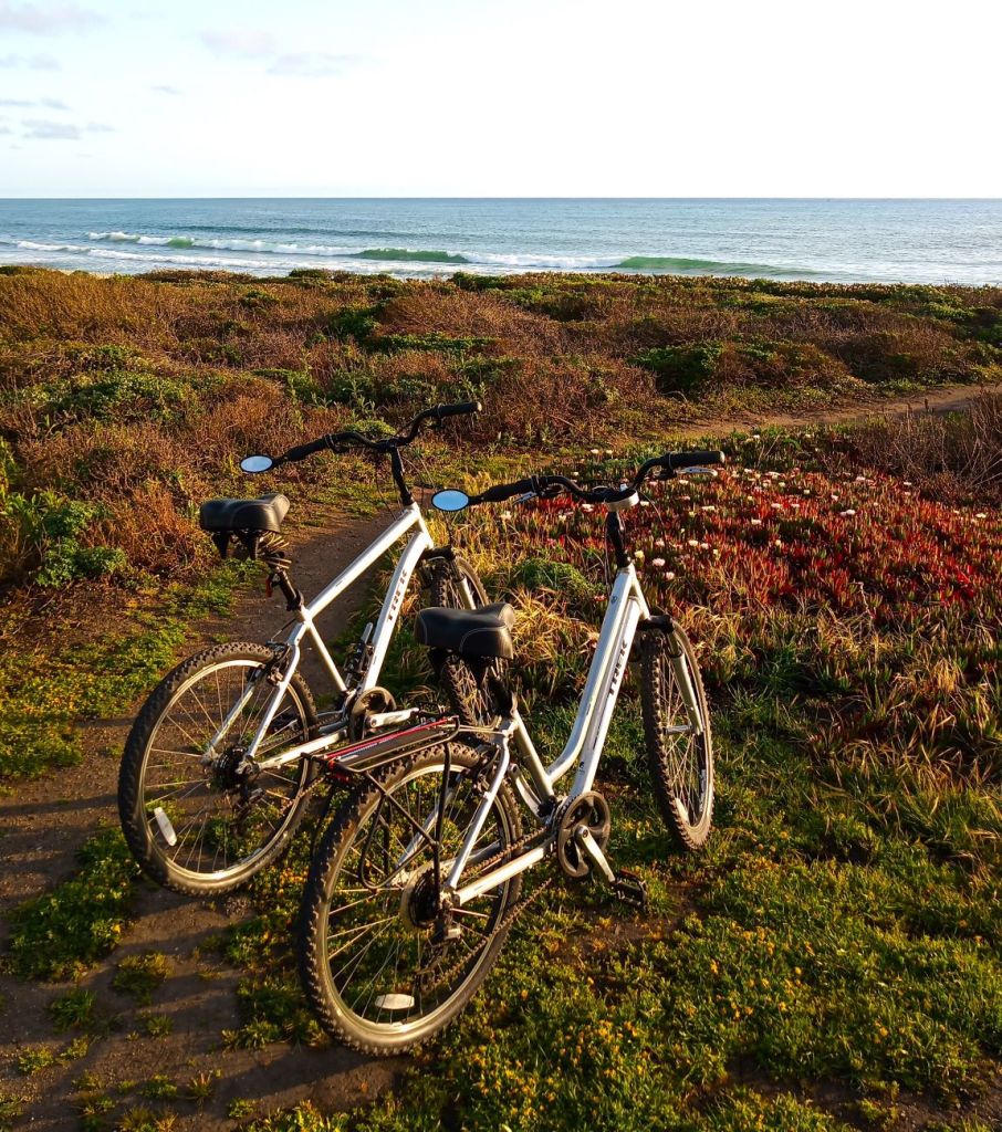
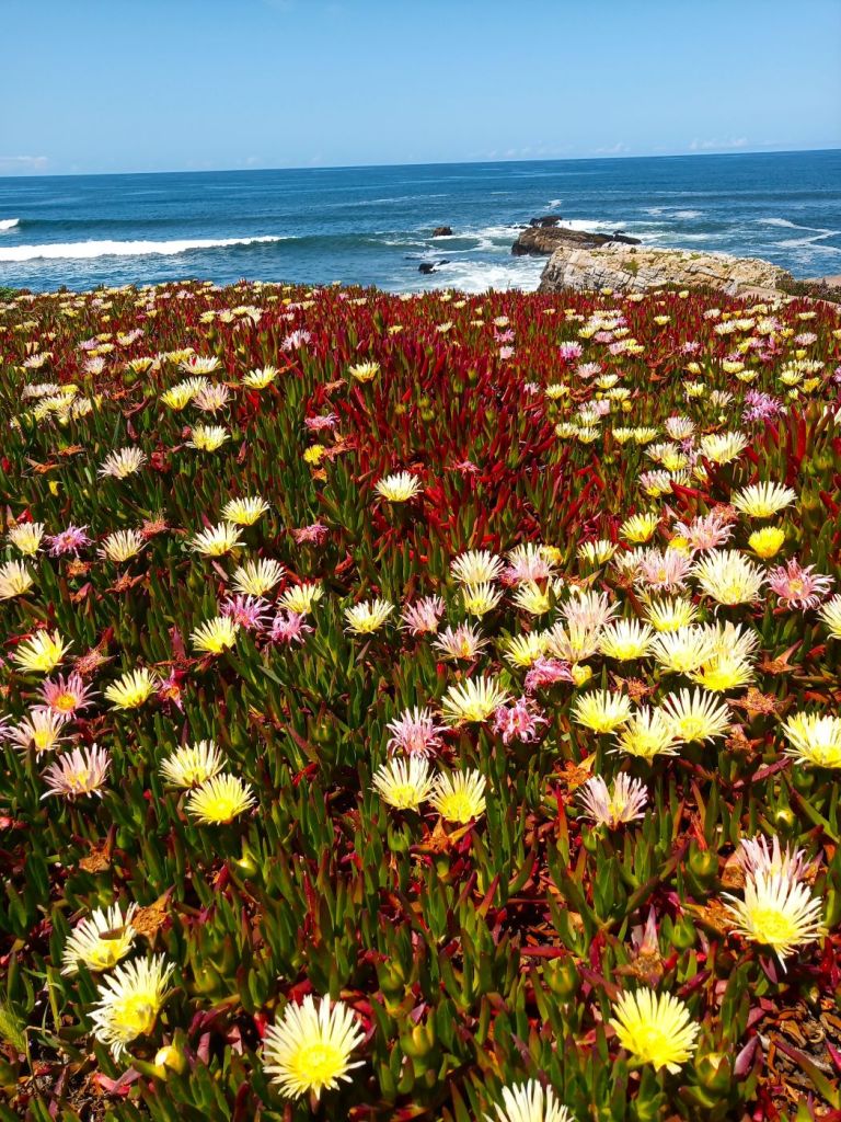
