(2023 Alaska Revisited Ep 24)
Were we crazy?
1000+ miles of dust and mud on a remote bone-jarring, tire-grinding dirt roads. Just to dip our toes in the Arctic Ocean.
You betcha!
This journey was a RabbiTRAIL of a lifetime. For us, anyway.
Drive to the Arctic?
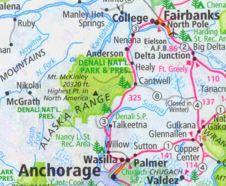
There are two roads to the Arctic Ocean in North America.
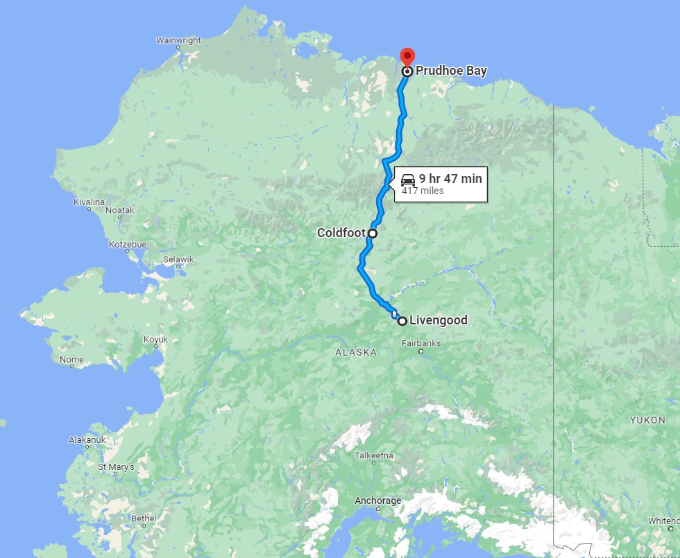
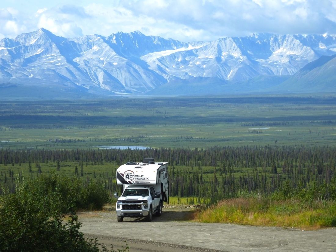
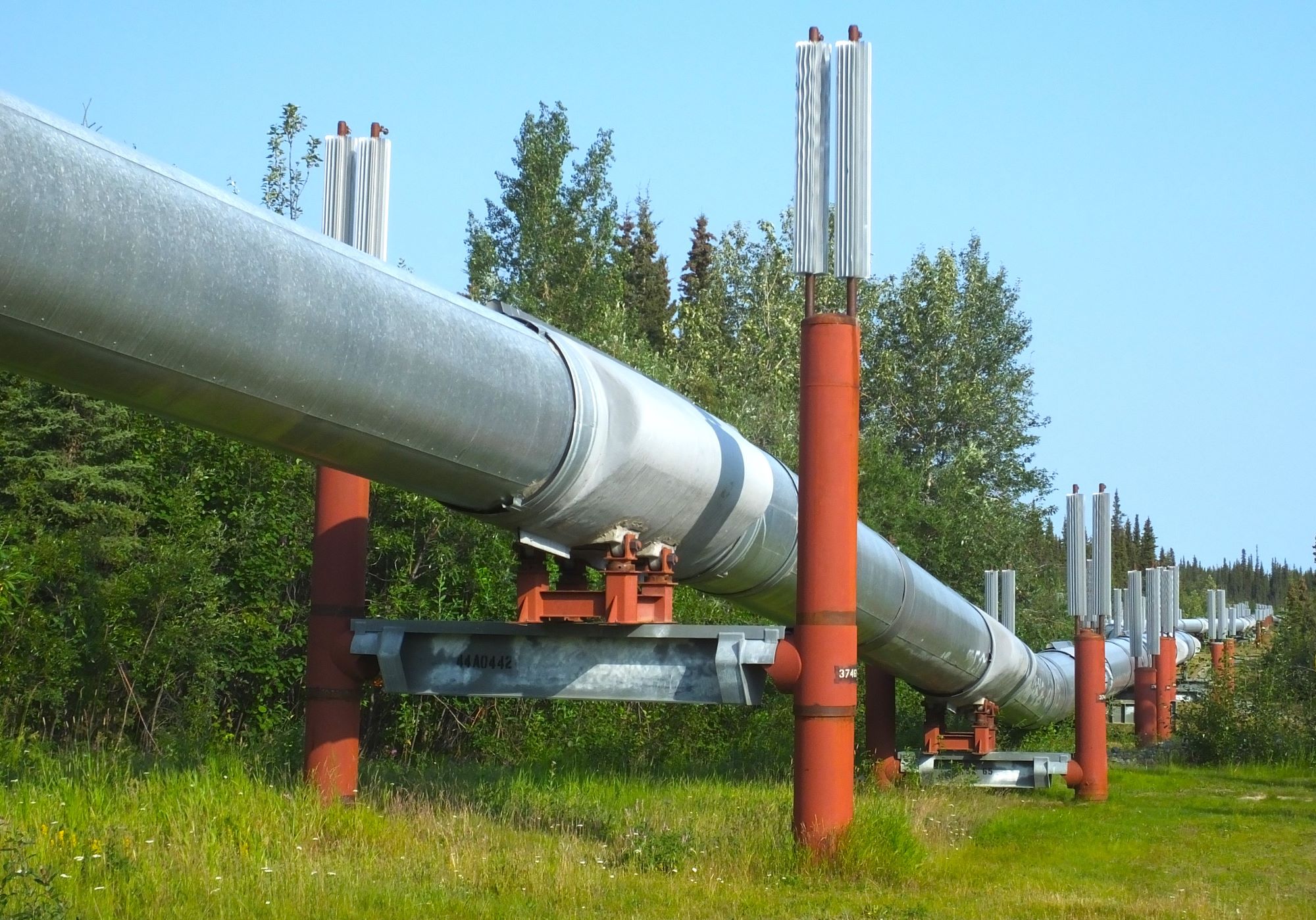
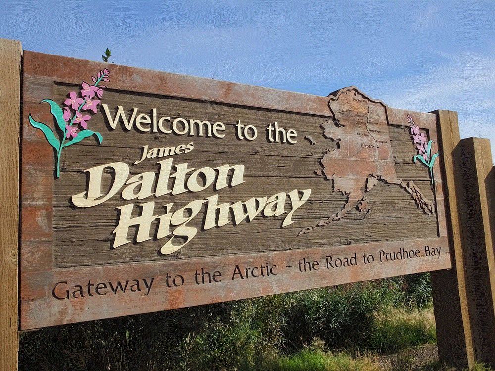
The Dalton Highway, constructed in the 1970s for the Alaska Oil Pipeline, runs 414 miles from Livengood (north of Fairbanks) to Prudhoe Bay. It follows the oil pipeline as it crosses several mountain ranges and a wide expanse of the Arctic tundra.
2018 – Our First Arctic Opportunity
In August 2018, we left Pancake in Fairbanks and followed the Dalton northward across the Yukon River, past the Arctic Circle, and camped in the back of Max at a BLM campground a few miles north of Coldfoot. It was a cold night. The tops of the nearby mountains were dusted with snow when we awoke the next morning.
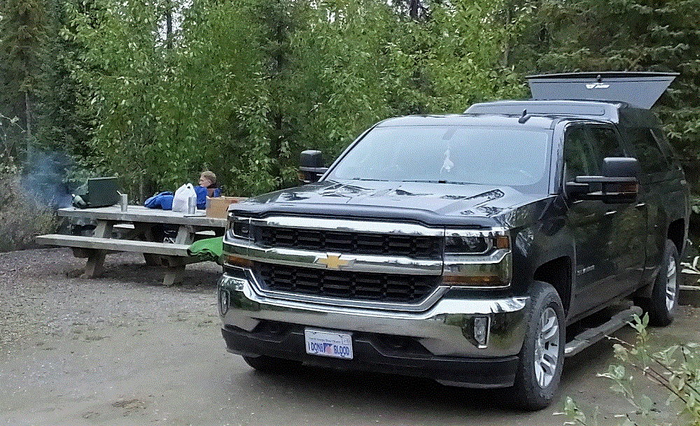
Our overnight stop was still 230 rugged miles from Prudhoe Bay, and special arrangements were needed to visit the Arctic Ocean due to security at the oil production facilities. So, we decided to turn back to Fairbanks.
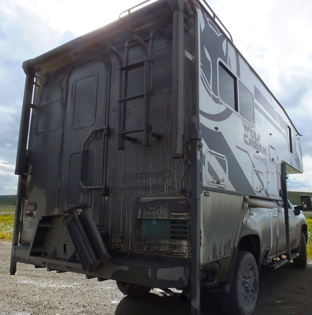
By the end of the trip Max was covered with thick mud from the slushy (mostly) gravel highway. We’re pretty sure several pounds of Dalton Highway mud were still imbedded in the truck when we sold it earlier this year!
2023 – A Second Chance!
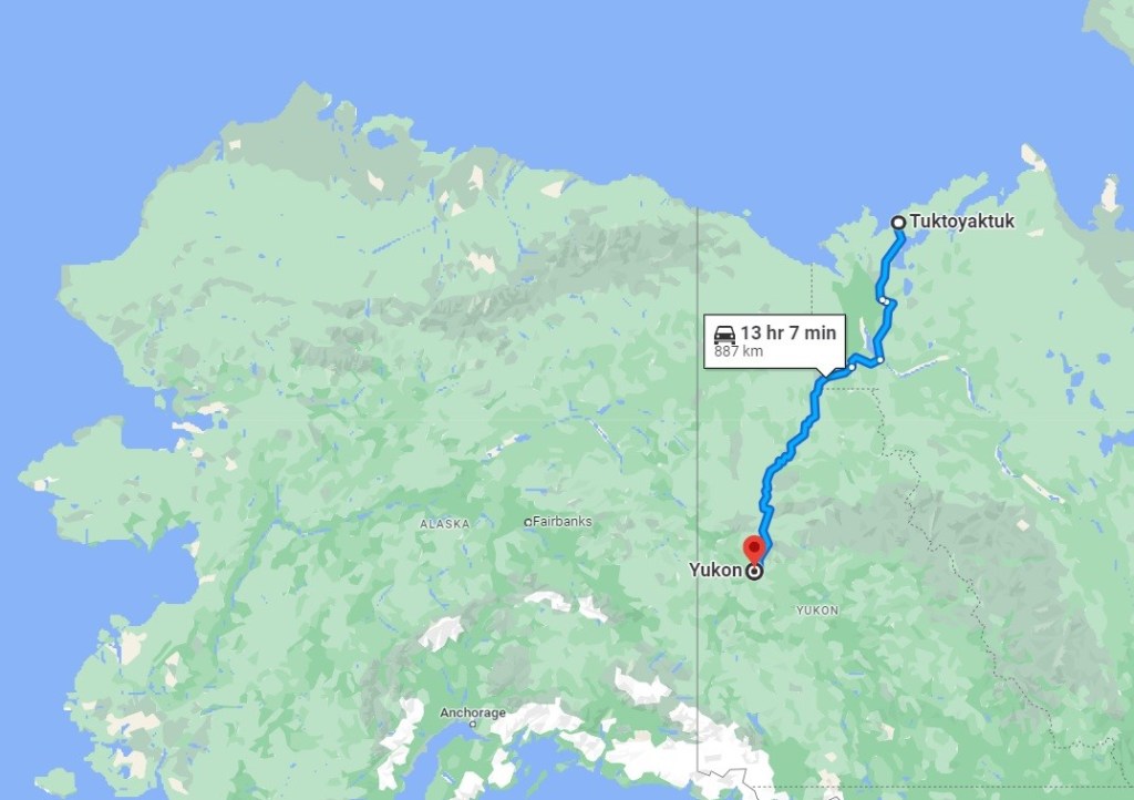
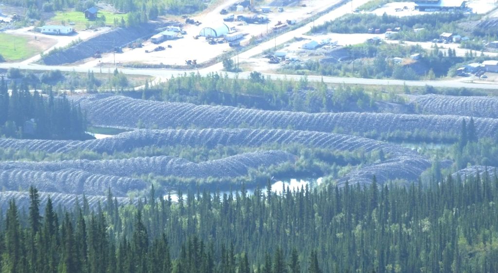
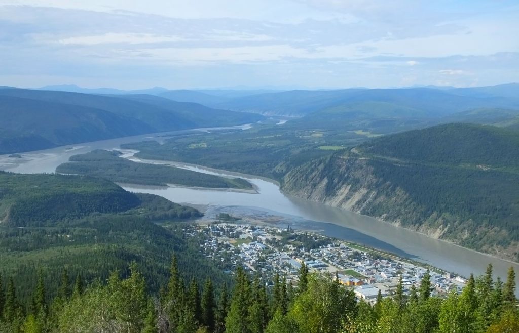
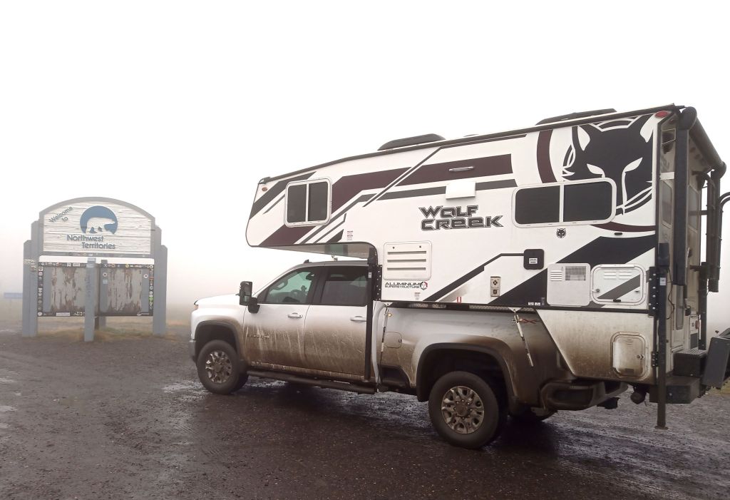
This year we had another chance to visit the Arctic Ocean – this time via Canada’s Dempster Highway.
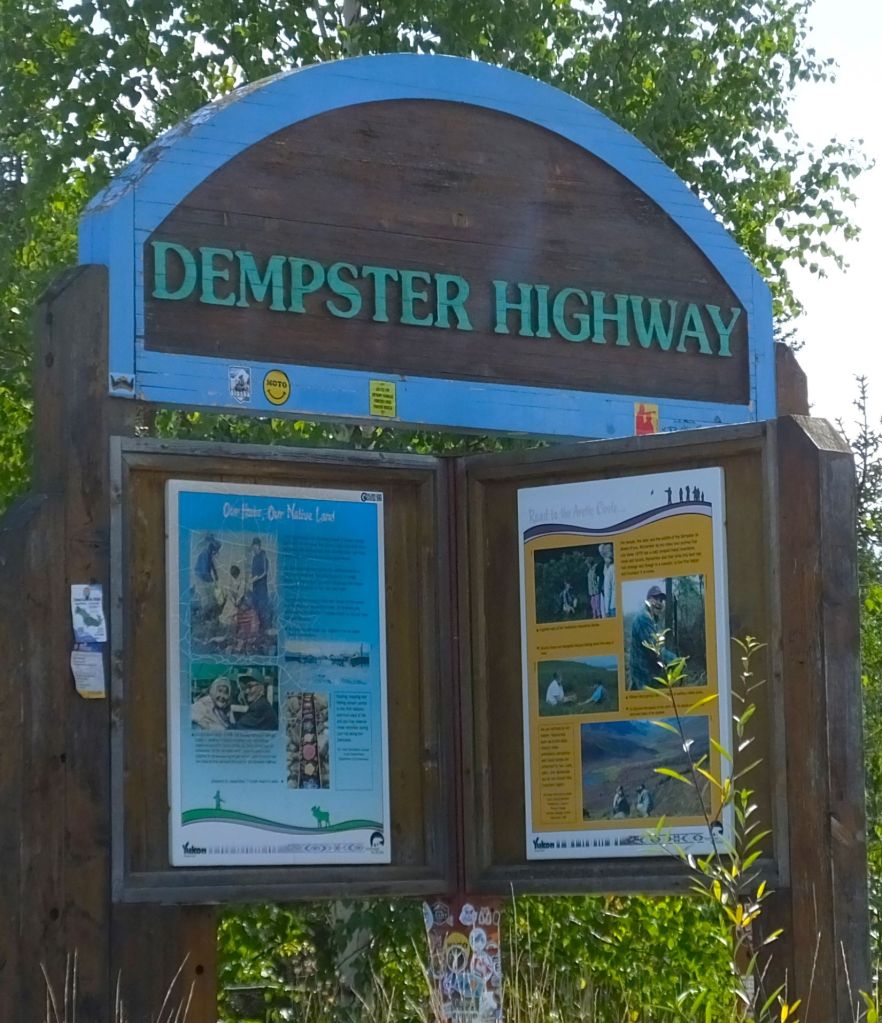
The 500+ mile dirt road starts a few miles from Dawson City as it goes north through Canada’s Yukon and Northwest Territories. Although the Dempster officially ends at Inuvik, there is an extension to Tuktoyaktuk (Tuk), a small town on the Arctic Ocean.
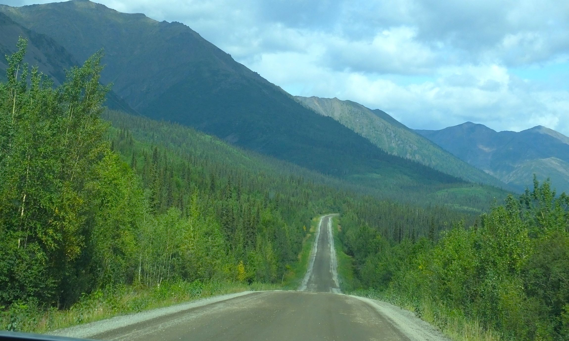
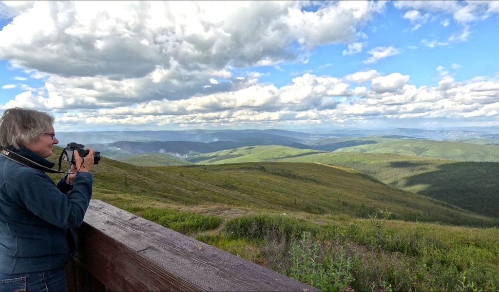
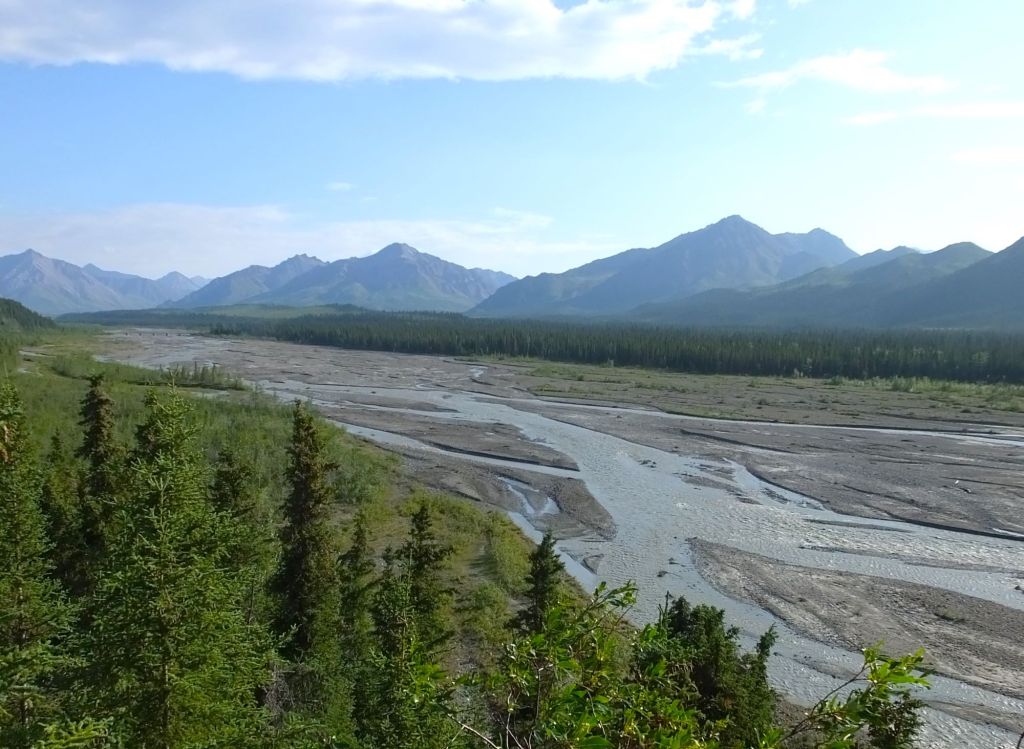
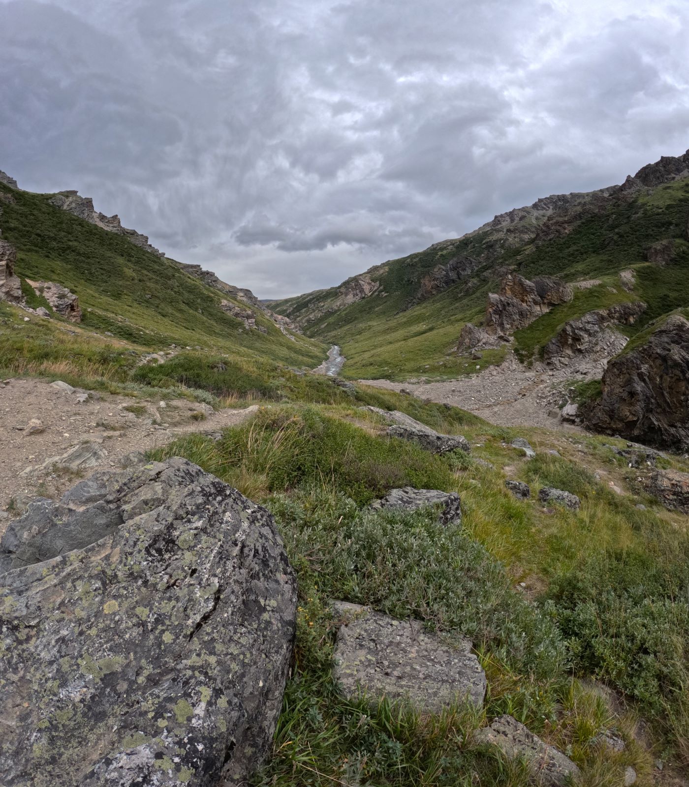
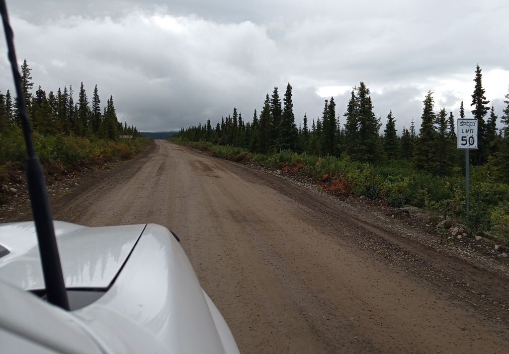
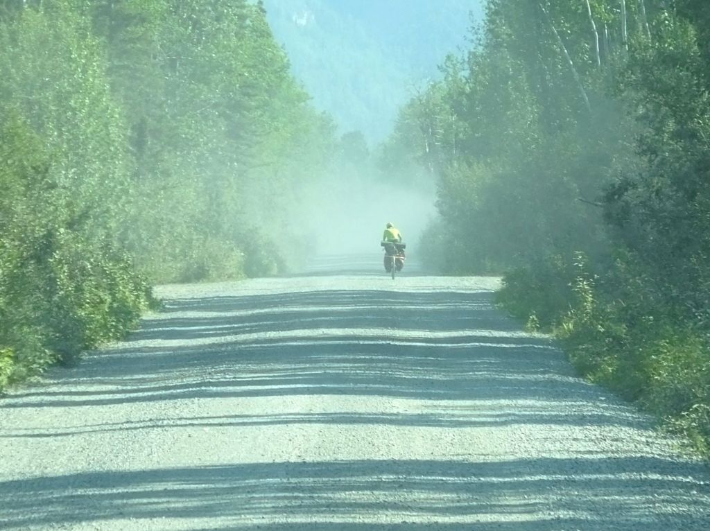
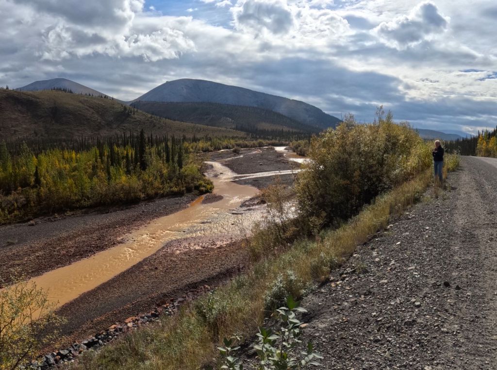
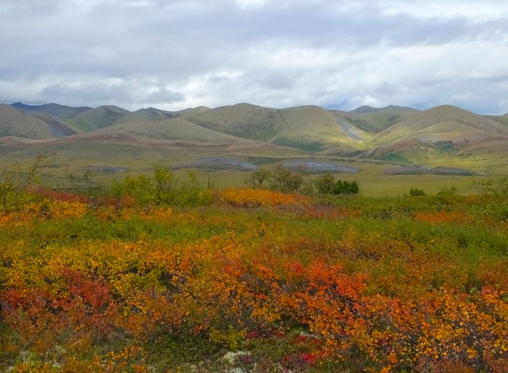
Views along the Dempster near Tombstone Territorial Park
We camped the first night at Tombstone Territorial Park (mile 46). The gravel road wasn’t too bad, but we could see what was ahead.
Vehicles starting the trip, like ours, were just a little dirty. Those finishing were COVERED with dust and mud.
The Dempster can be very dusty or very muddy, depending on the weather. It was BOTH for us!
A Welcome Stop at Eagle Plains
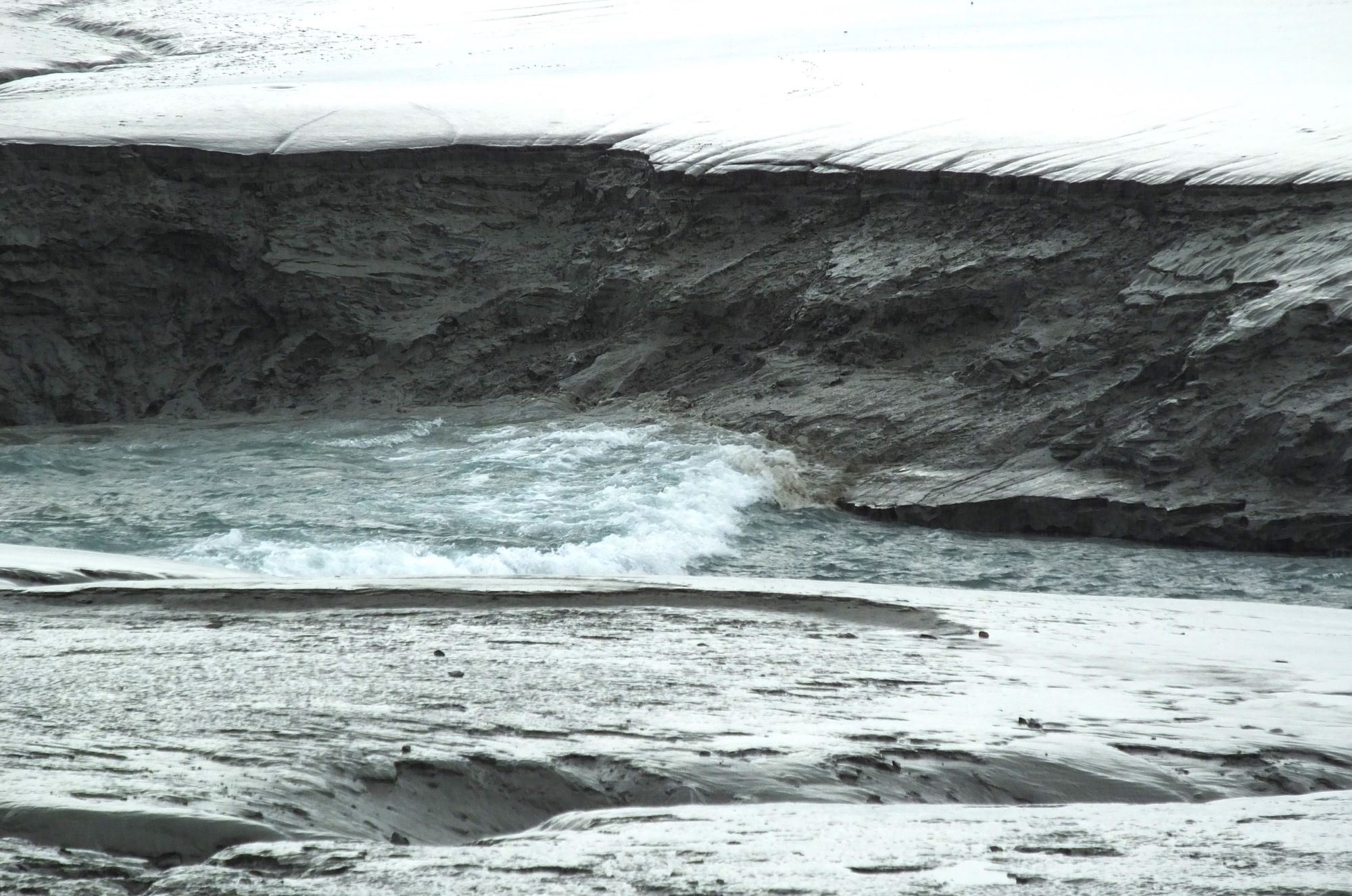
The next morning, we drove along a creek with unusual pumpkin orange water. It was Engineer Creek (mile 107).
We thought it might be some sort of industrial runoff. The water was totally natural, however, rust colored from surface iron deposits upstream.
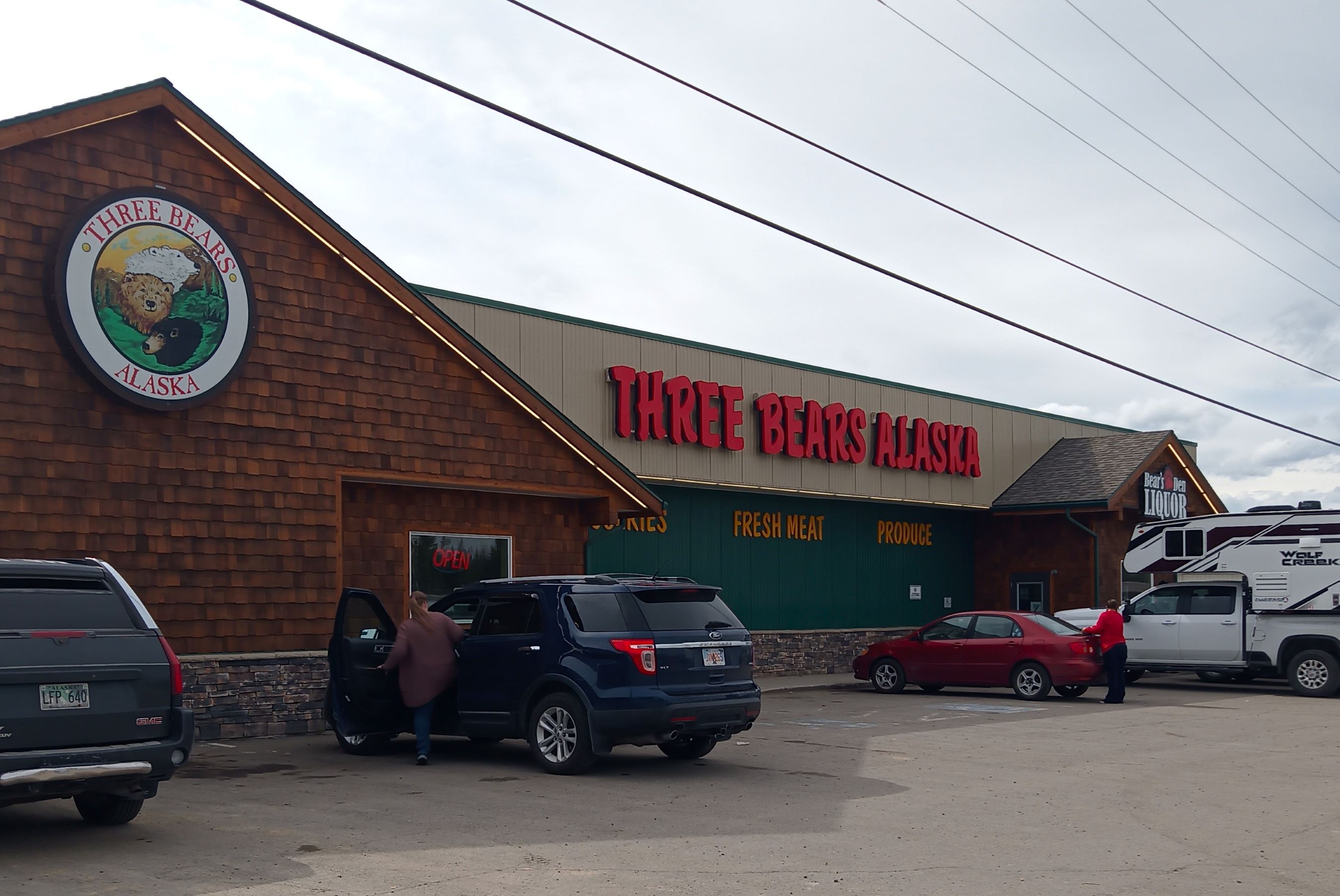
The road continued to Eagle Plains (mile 227), first services on the highway that included gas at $6.03 a gallon, a garage, restaurant, motel and campground. We were grateful they allowed us to connect to their wifi to check on things back home.
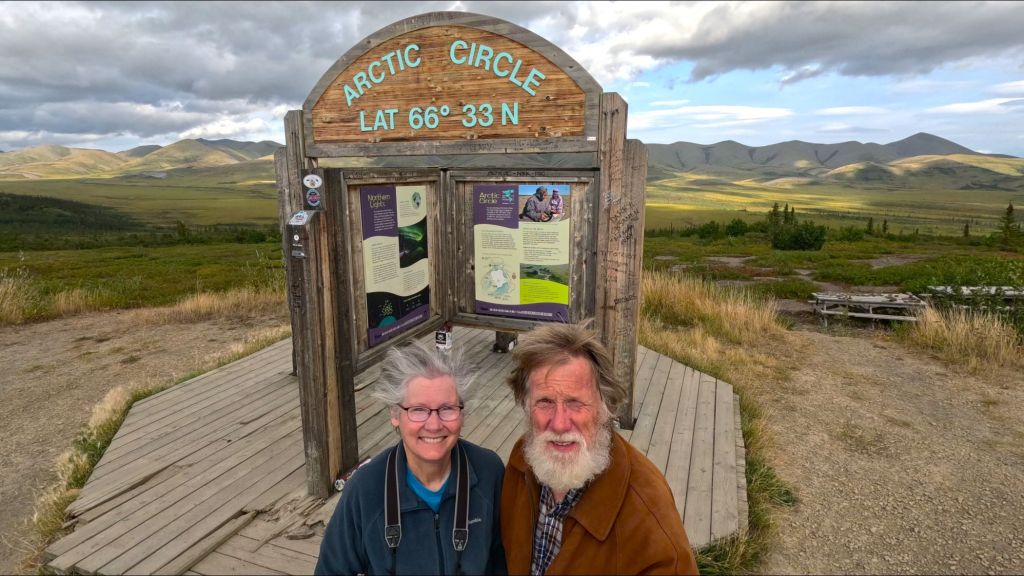
A few miles north, we took a selfie at the Arctic Circle marker (mile 251). We were surrounded by valleys and distant mountains covered with short yellow bushes. It was a sign that fall had arrived.
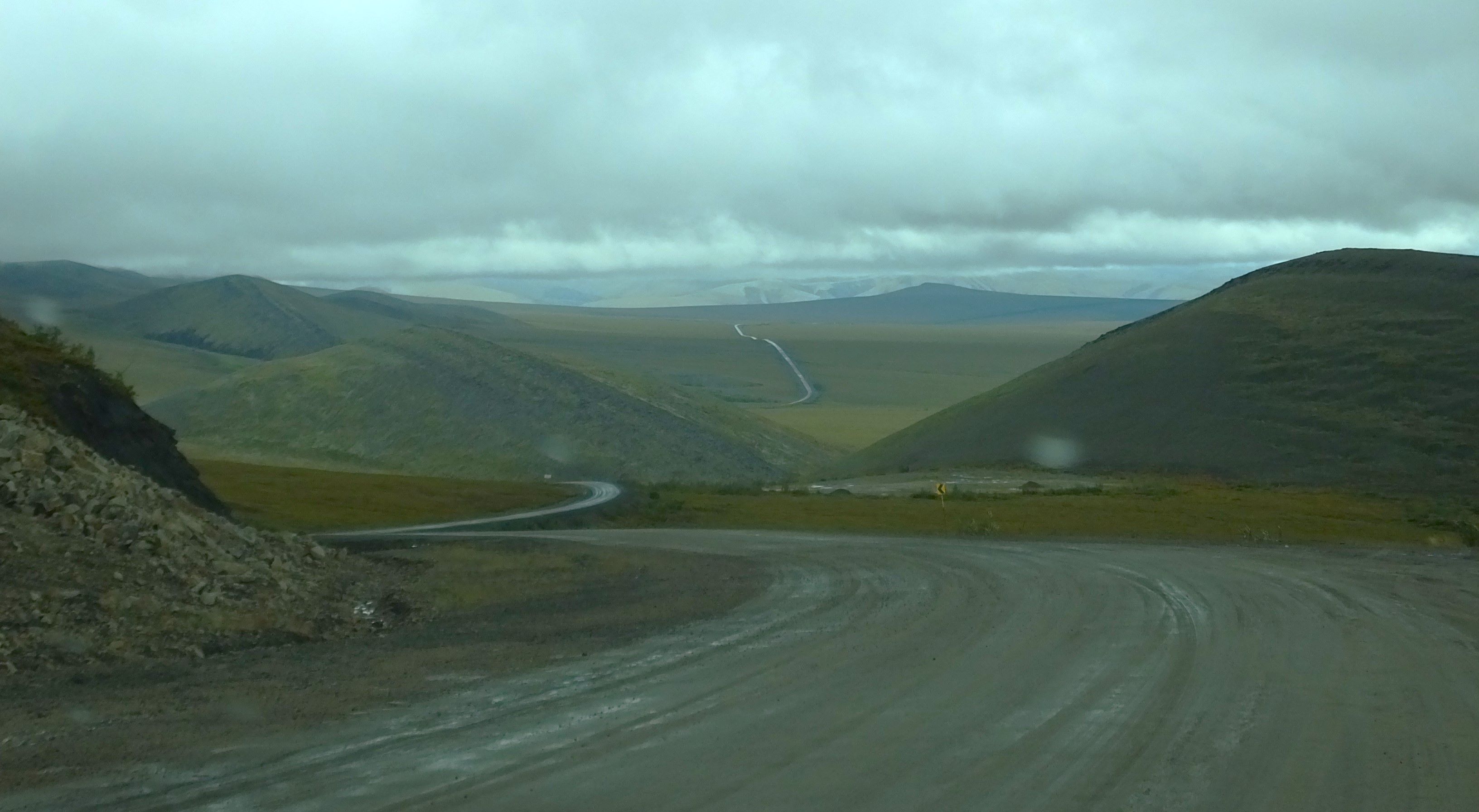
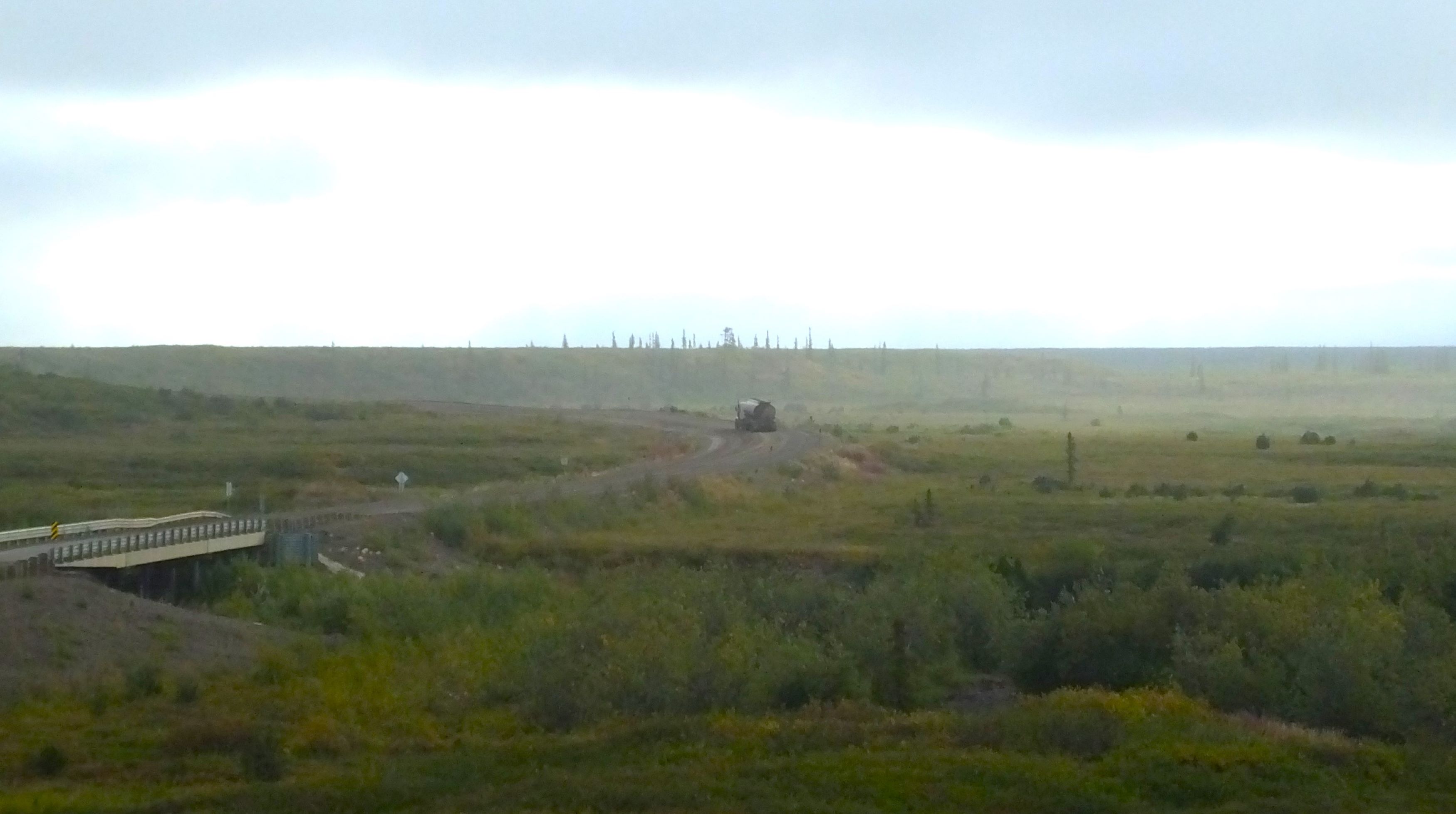
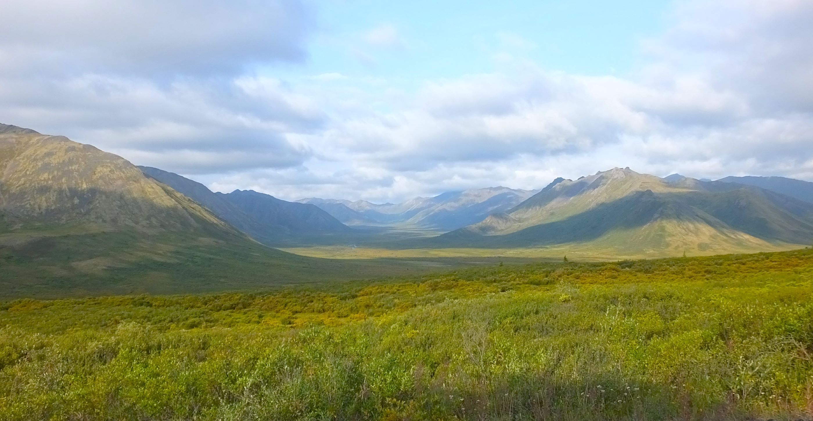
More views along the Dempster: wet and windy road through the mountains; we slowed often for large trucks hauling fuel and supplies to Inuvik and Tuk
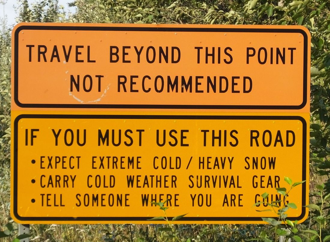
The next morning we endured 40 miles of the roughest roads thus far, often driving at less than 20 mph to dodge potholes and rough washboard.
Fortunately, when we crossed into Northwest Territory (mile 290), road conditions improved. We were told and it was evident that NWT spends more to maintain their portion of the Dempster.
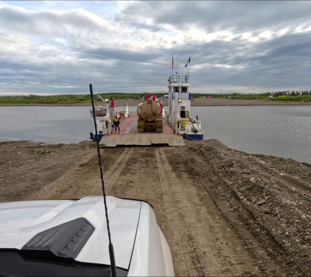
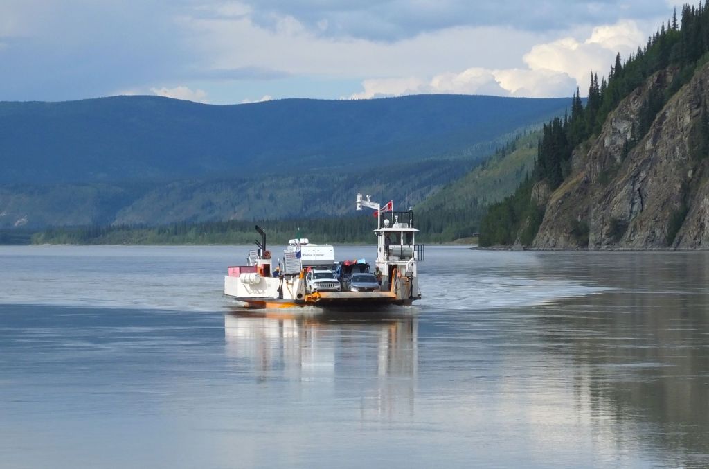
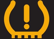
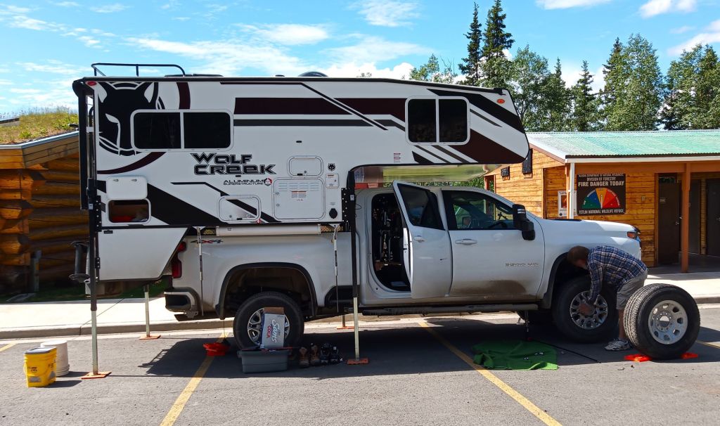
At mile 337, we crossed the Peel River on a small cable-guided ferry and continued until our first major hurdle of our Dempster trip – a flat tire.
A Roadside Tire Swap and Unexpected Connection
We hastily stopped on the side of the narrow gravel road, thankful Percy’s TPMS alerted us before the hissing tire went flat.
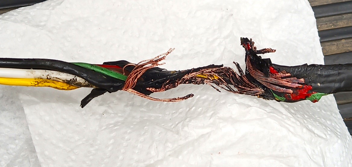
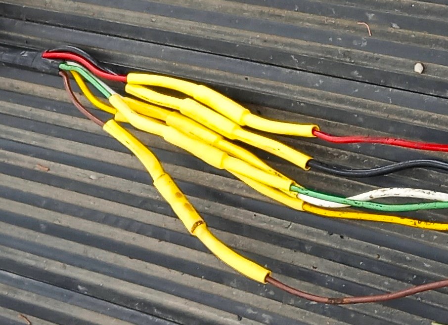
We performed the previously rehearsed tire swap routine with one big change (emphasis added): raise the camper, loosen the tire lugs, jack up the truck, lower and install the spare, and CAREFULLY lower the camper ensuring the connecting wire is not underneath!
Passing drivers stopped to offer help. One driver noticed the ‘In God We Trust’ slogan on our Florida license tag. We learned he was a Christ-follower from Edmonton working on a government fiber project along the road. What a neat and unexpected way to connect with another believer!
Tire replaced, we continued, checking the TPMS often for additional tire leaks.

A few miles later we crossed the broad Mackenzie River on a second ferry (mile 380) and spent the night in Inuvik (mile 456), the largest community along the Dempster.

We discovered most businesses in Inuvik are closed on Sunday, so we had to wait until Monday to have our flat repaired. We attended Lighthouse Community Church where we were warmly greeted by the pastor and his wife. The service included heartfelt testimonies from several teenagers who just returned from a church camp on Vancouver Island. We were reminded of the many fond memories we have of Camp Cedarbrook.
We wondered whether our tires could handle the rough gravel roads ahead. This was our second flat of this trip. New tires would be very expensive and might take a week or more to be delivered if not available in Inuvik. We prayed for wisdom and patience.
On Monday, the tire was repaired and we learned the flat was caused by a four-inch-long metal tube the diameter of a drinking straw. The repairman said the tires were fine, otherwise. Praises and thanks!
On to the Arctic
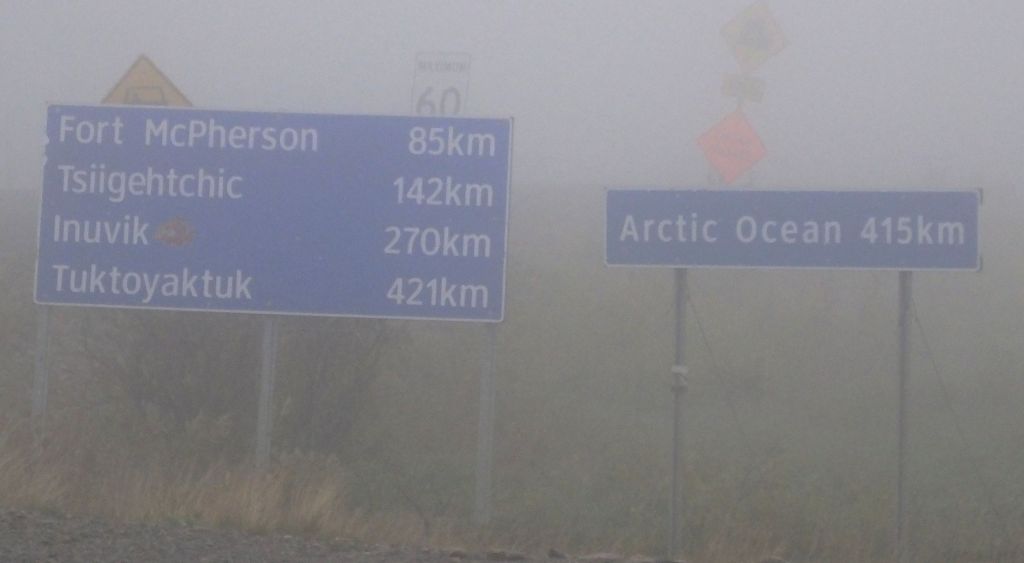
From Inuvik, it was still 90 miles to Tuk and the Arctic Ocean. We opted to leave Pap at the campground and drive the round trip to Tuk on Tuesday.
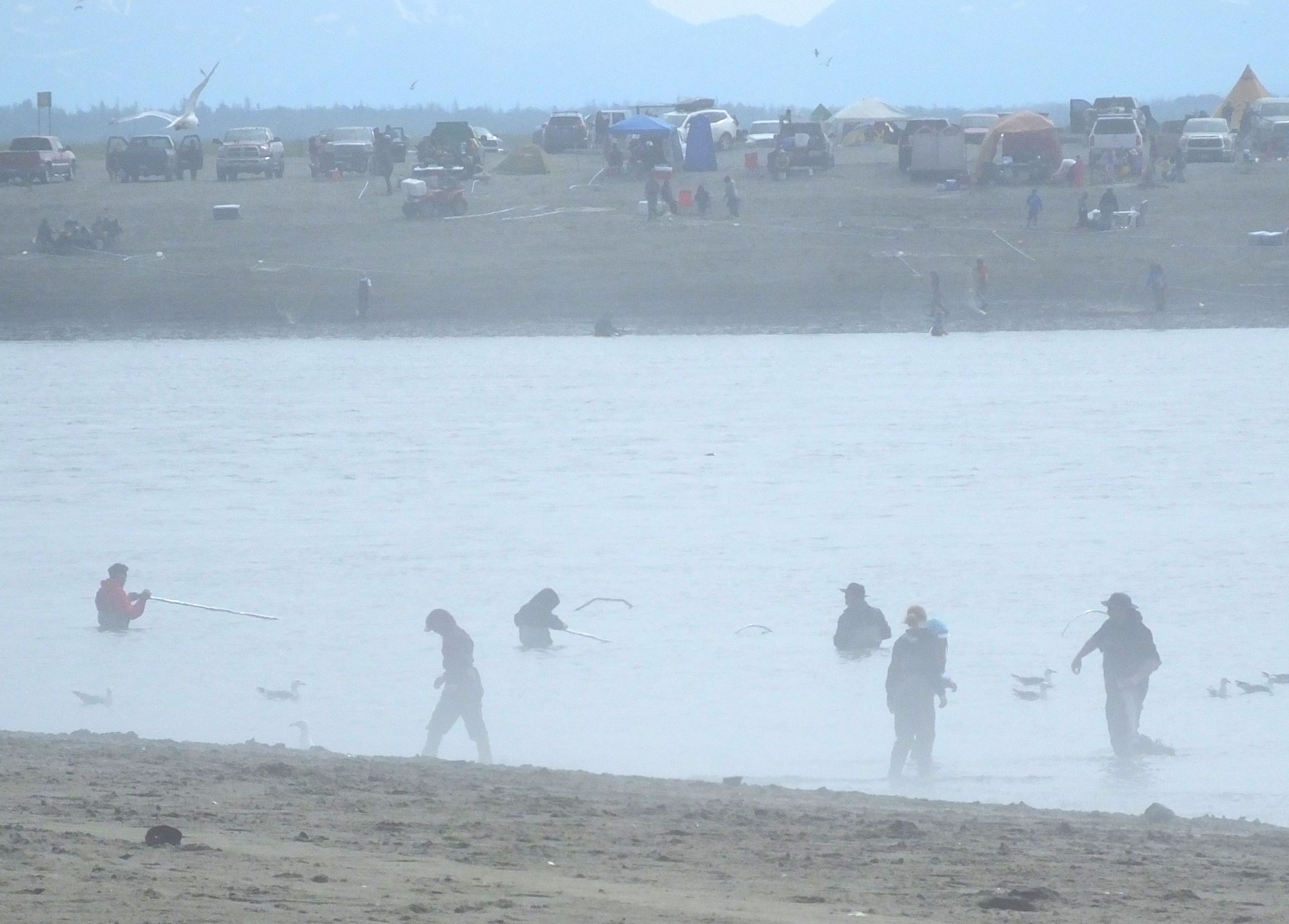
The next morning we drove along the tundra, past dozens of lakes. Eventually we had a treeless view to the horizon. The roads were the worst of the trip and it took more than three hours to reach Tuk.
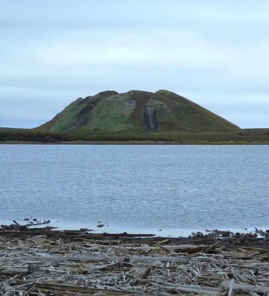
Land of the Pingos
Nearing Tuk, we noticed a number of unusual hills in the distance. They appeared to be about 100-foot tall and several hundred yards in diameter.
The hills were pingos, ice-cored mounds pushed up from the permafrost.
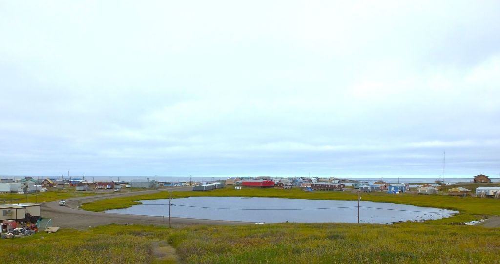
In Tuk, we climbed to the top of a pingo for an elevated view of the small town and distant Arctic Ocean.
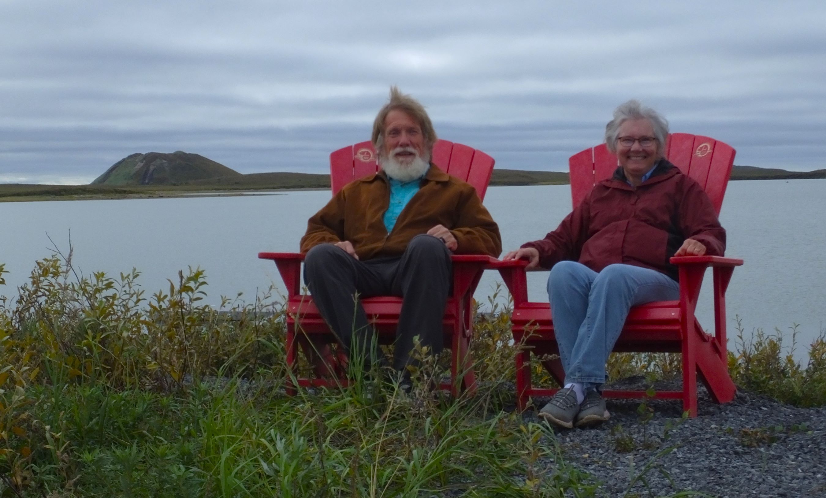
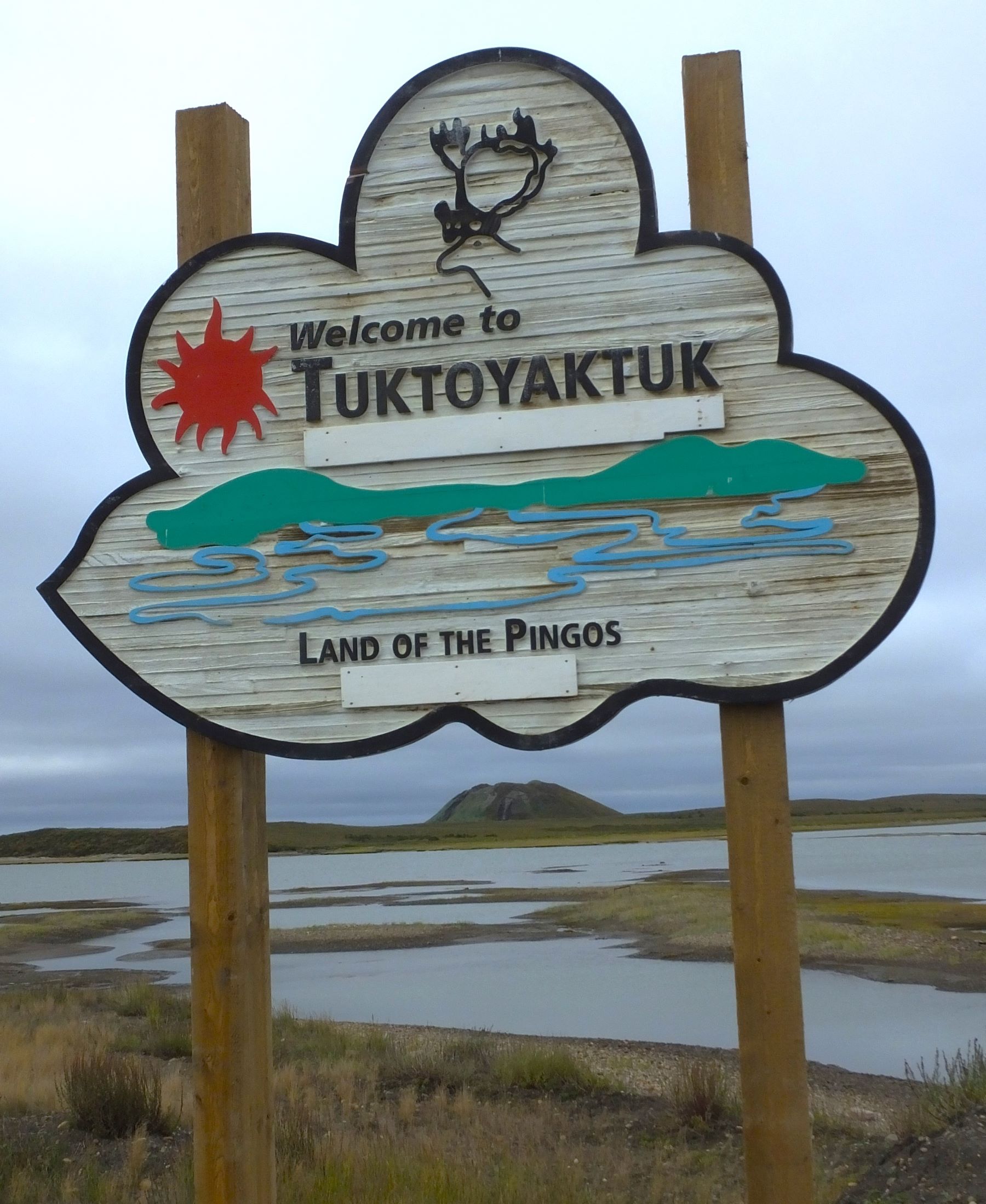
Sitting in red Canada Parc chairs and a sign welcoming visitors to Tuk – both with a pingo in the background

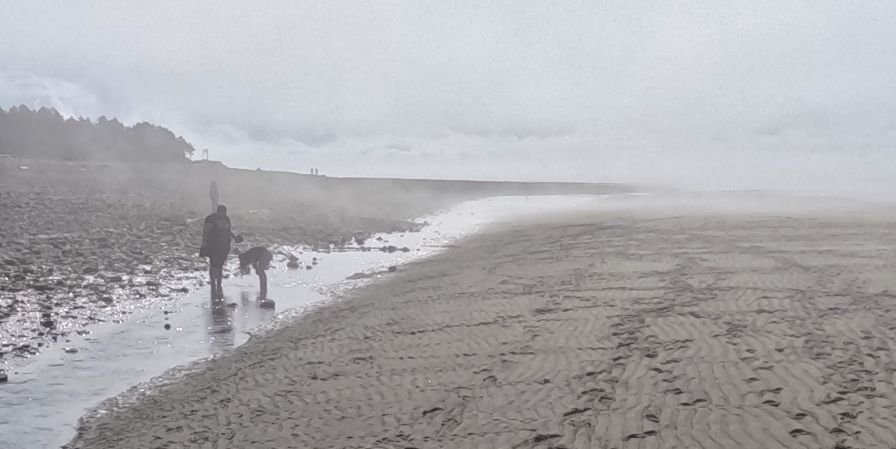
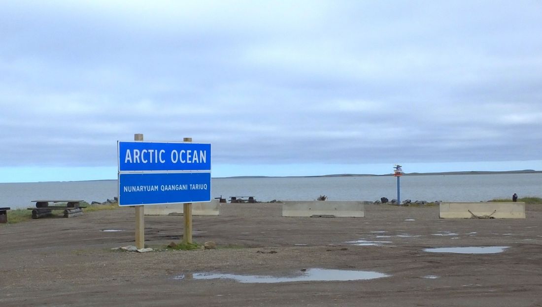
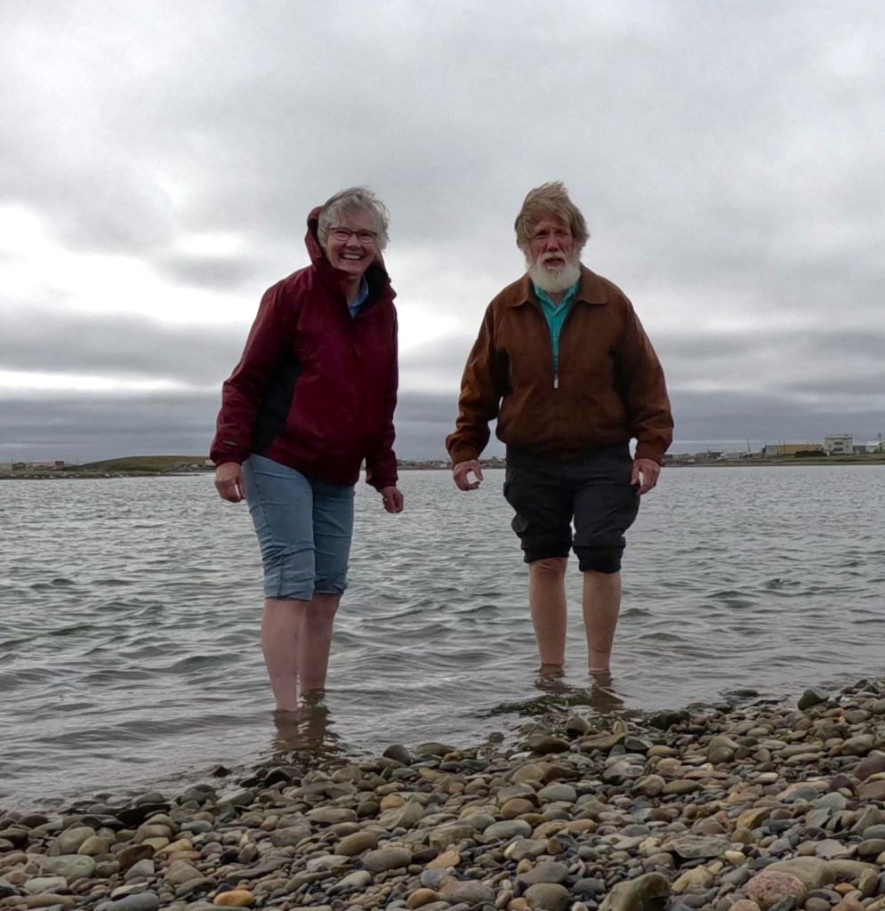
We drove to the end of the road where a large blue sign informed us we had arrived at the Arctic Ocean. The skies were overcast and the surprisingly calm ocean was gray.
We walked along the stony shoreline, took off our shoes and socks, and carefully waded into the water. It was windy and cold, so we didn’t linger.
The Long Return Trip to Smoother Roads
We returned to Inuvik and began driving the 500+ mile LONG ROAD south the next morning.

Our return was uneventful.
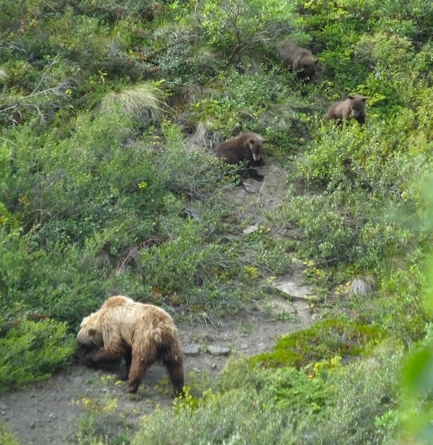
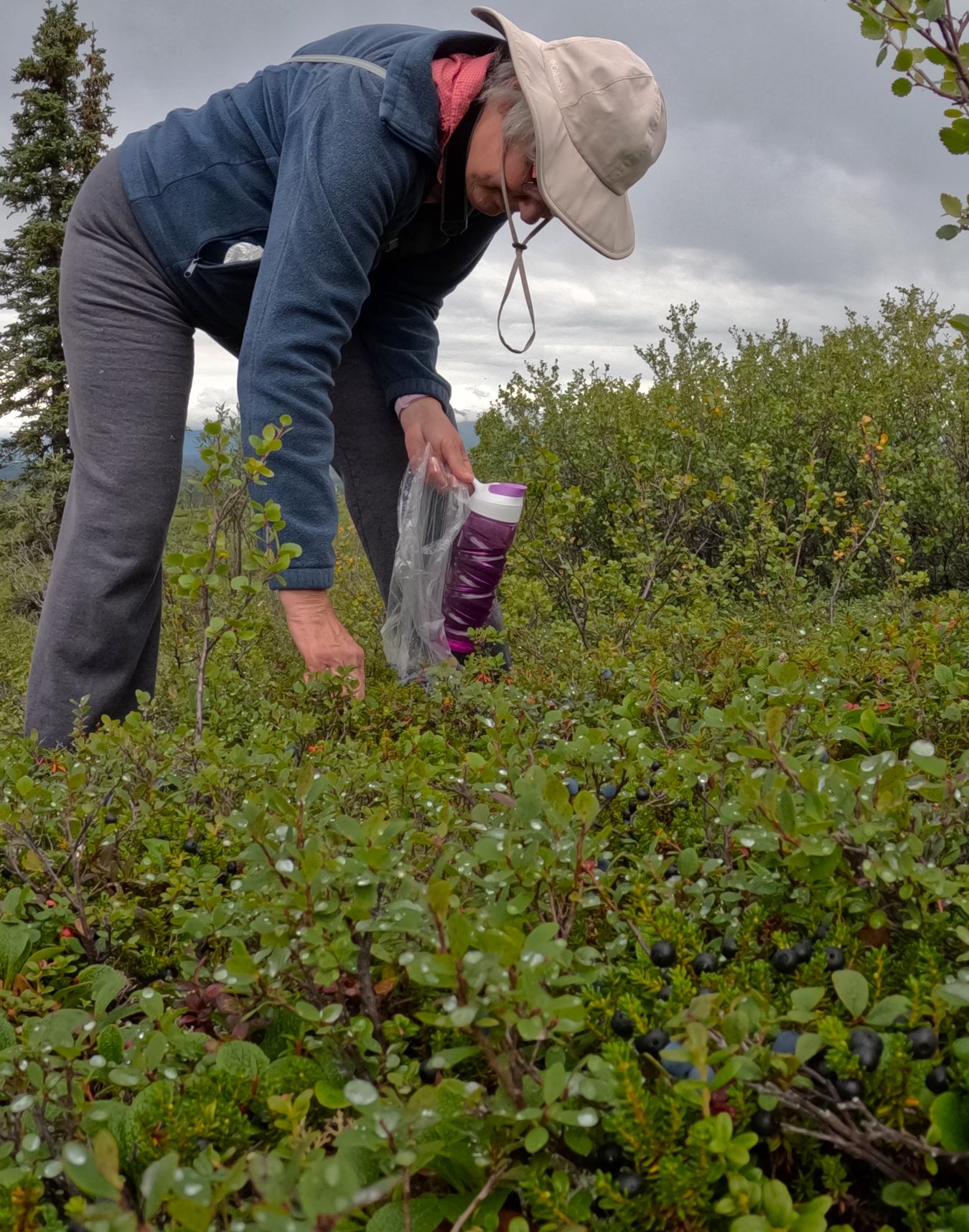
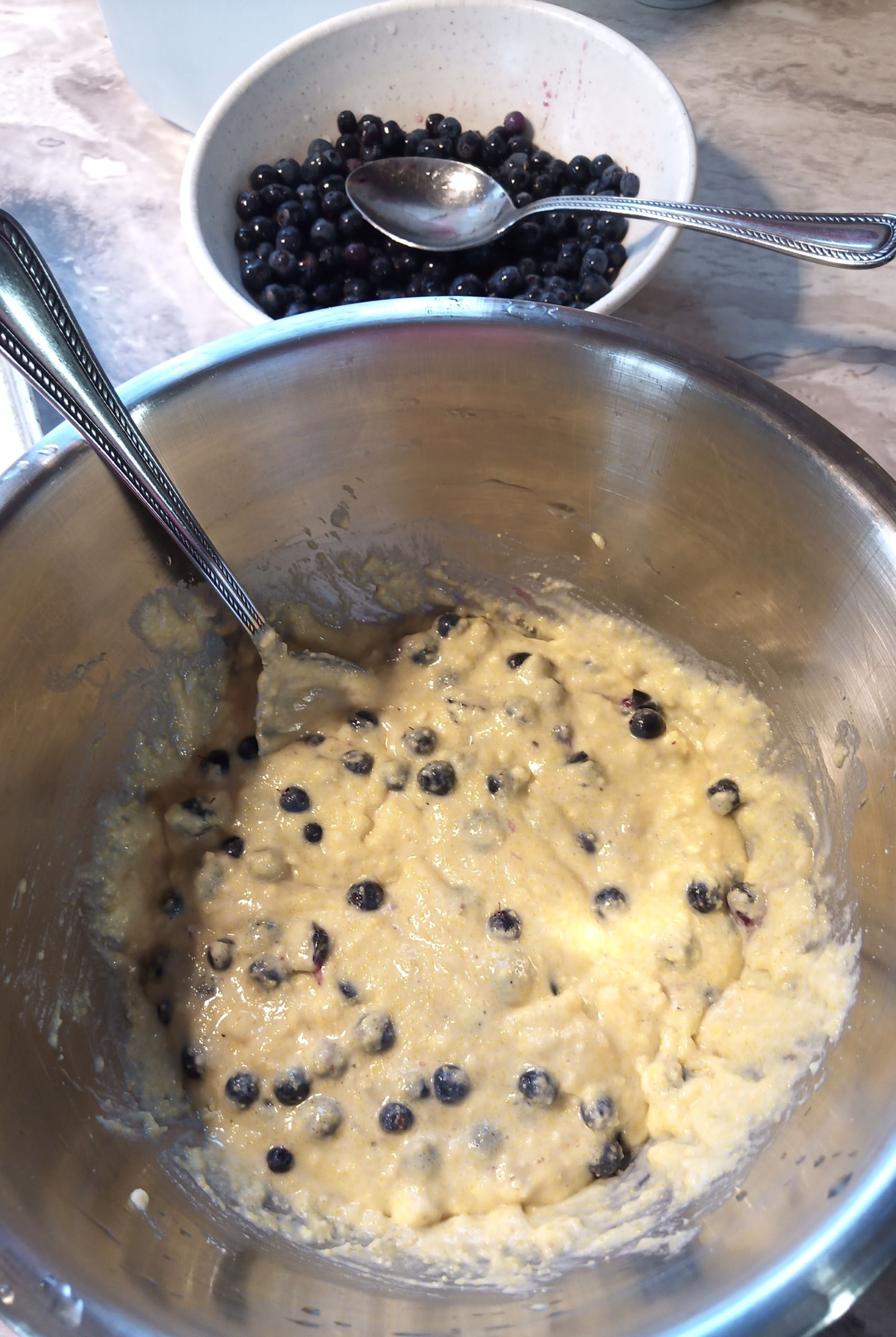
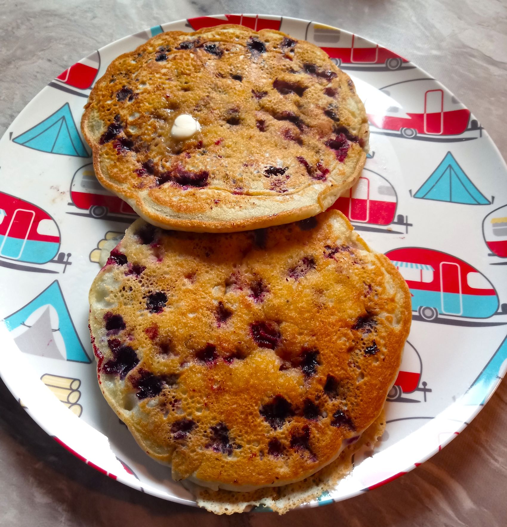
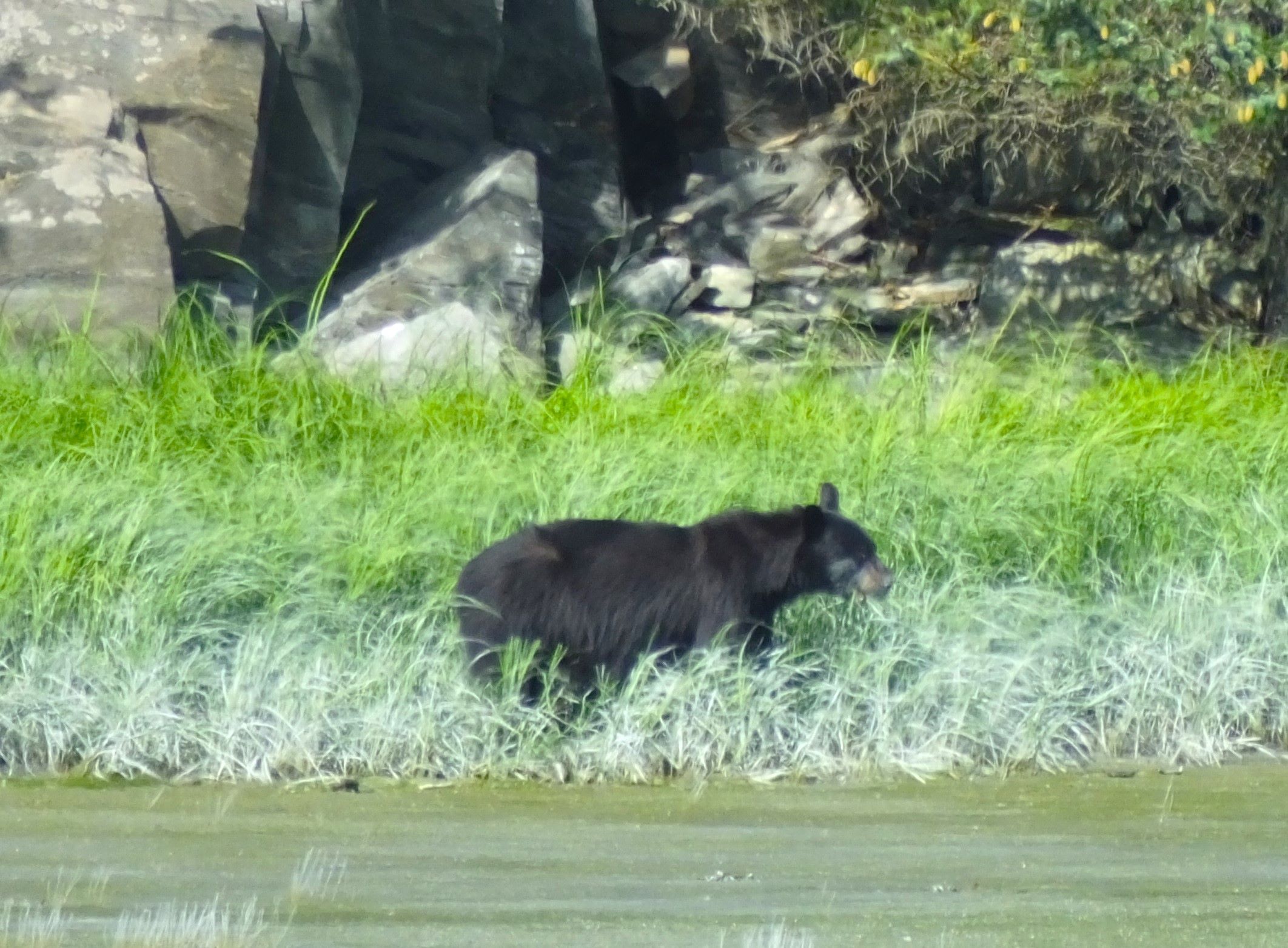
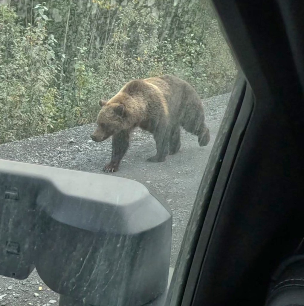
We camped alongside the road near the Arctic Circle where we carefully walked through the tundra and picked more blueberries. Near Engineer Creek, a grizzly bear was walking on the road. We stopped and the large sandy-brown bear passed within a dozen feet of us!
Dempster Reflections
Reflecting on our eight day LONG ROAD trip to the Arctic Ocean, Pat and I marvel at the remoteness and beauty of the Dempster, and give thanks for safe travels and blessings of the various amazing experiences that culminated with dipping our toes into the Arctic Ocean. We especially appreciate the numerous kind people we met who helped make the trip interesting, positive and fun.
And finally, like others before us, our truck and camper were covered with mud and dirt, distinctions of the long and interesting Dempster RabbiTRAIL!

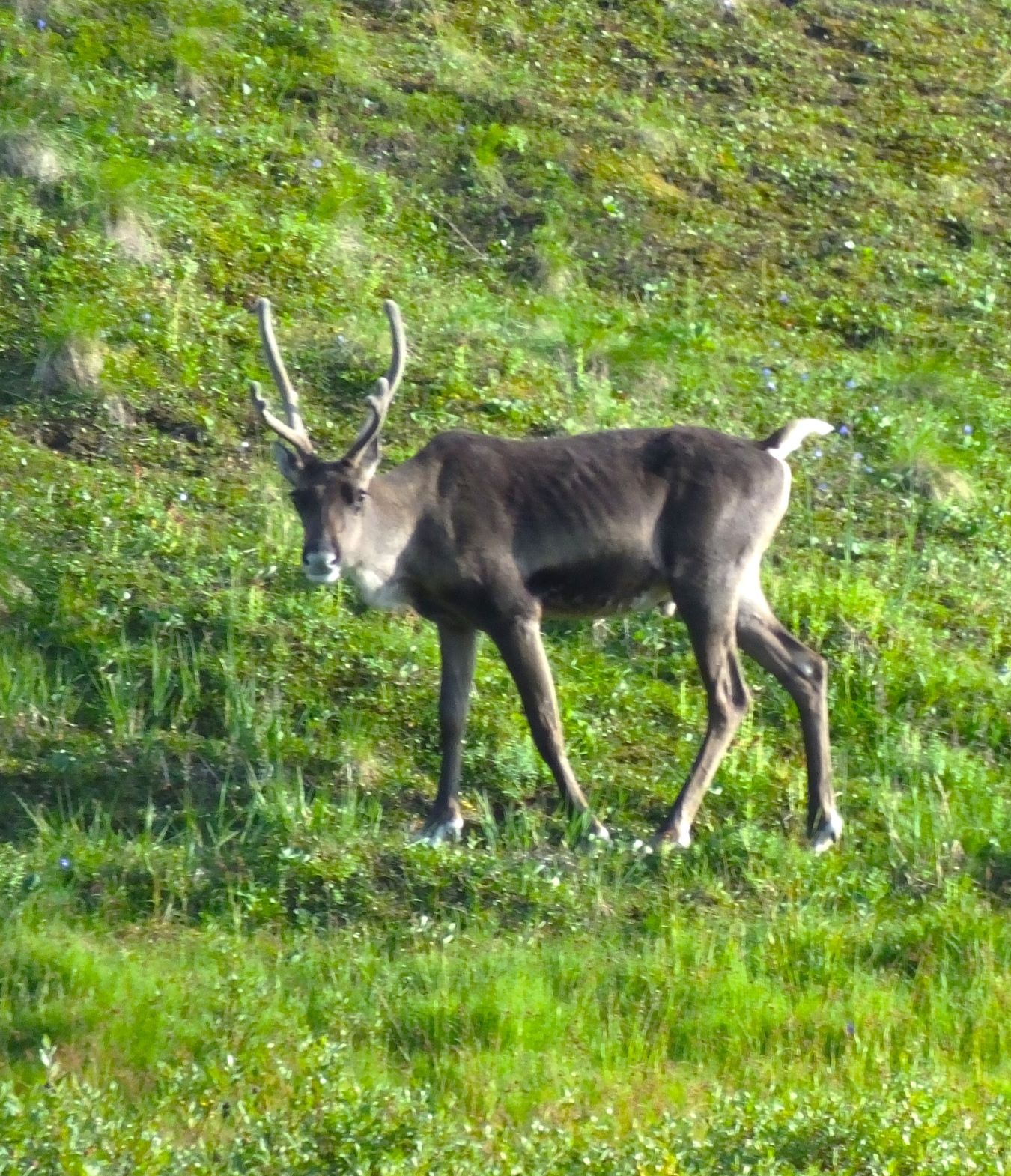
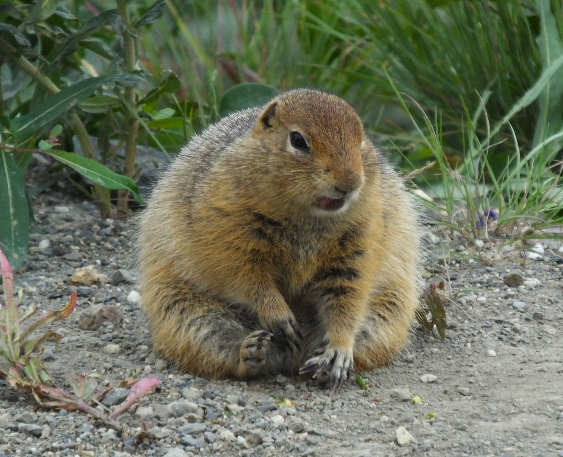
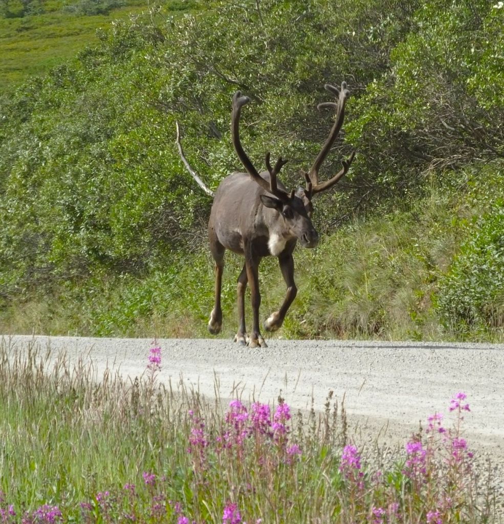
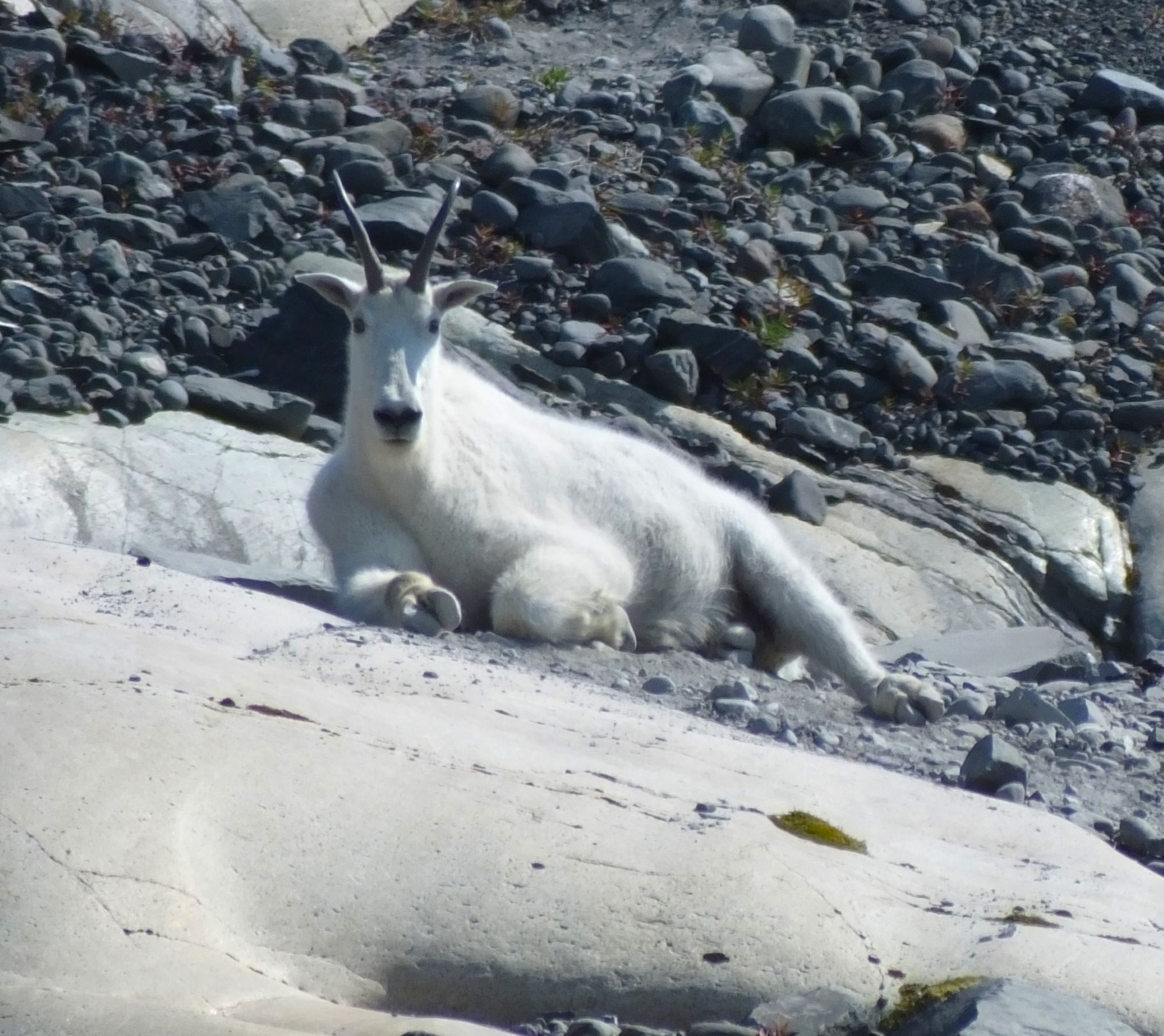
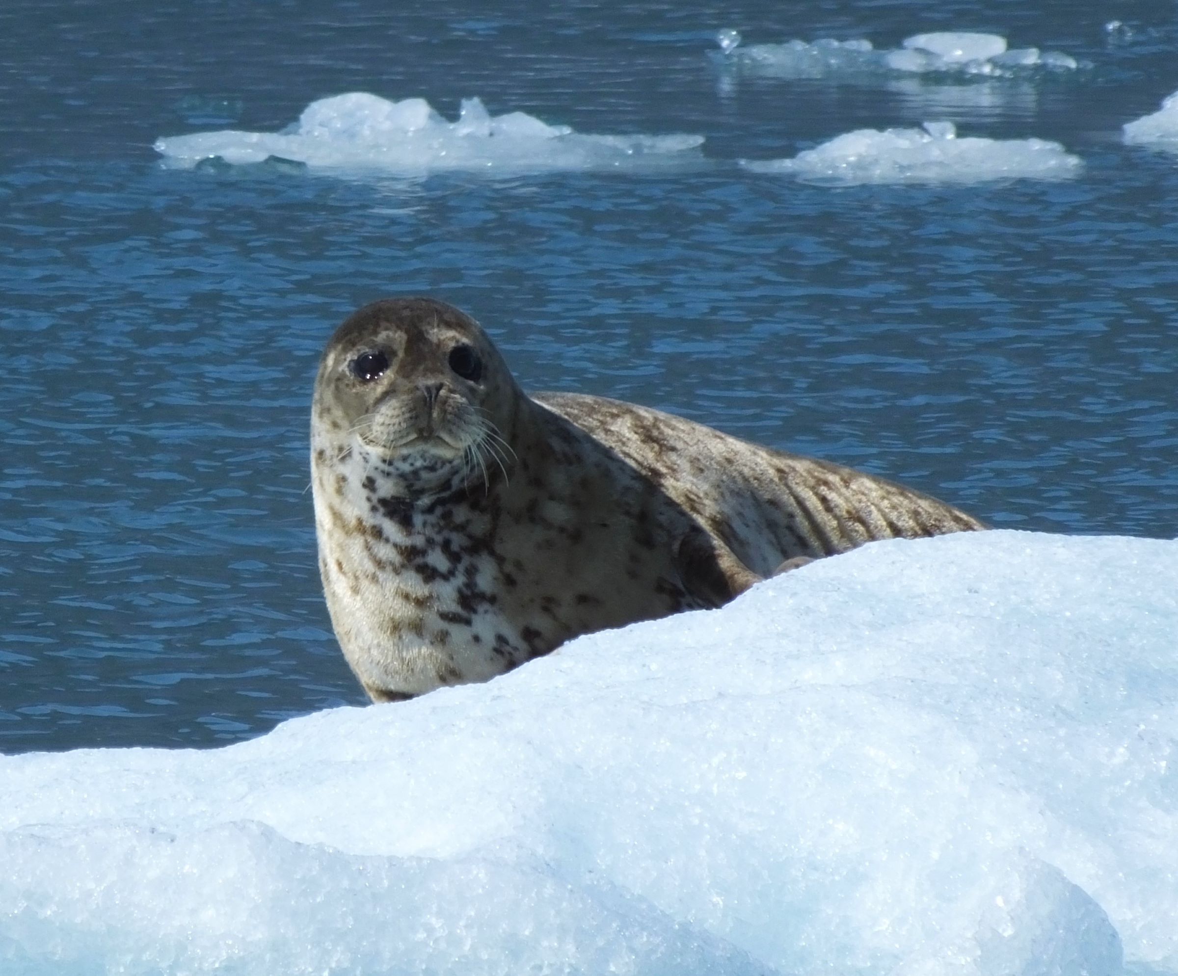
Critter Count
Grizzly bears – 1
Coyote – 1
Porcupine – 1
Canada geese – many
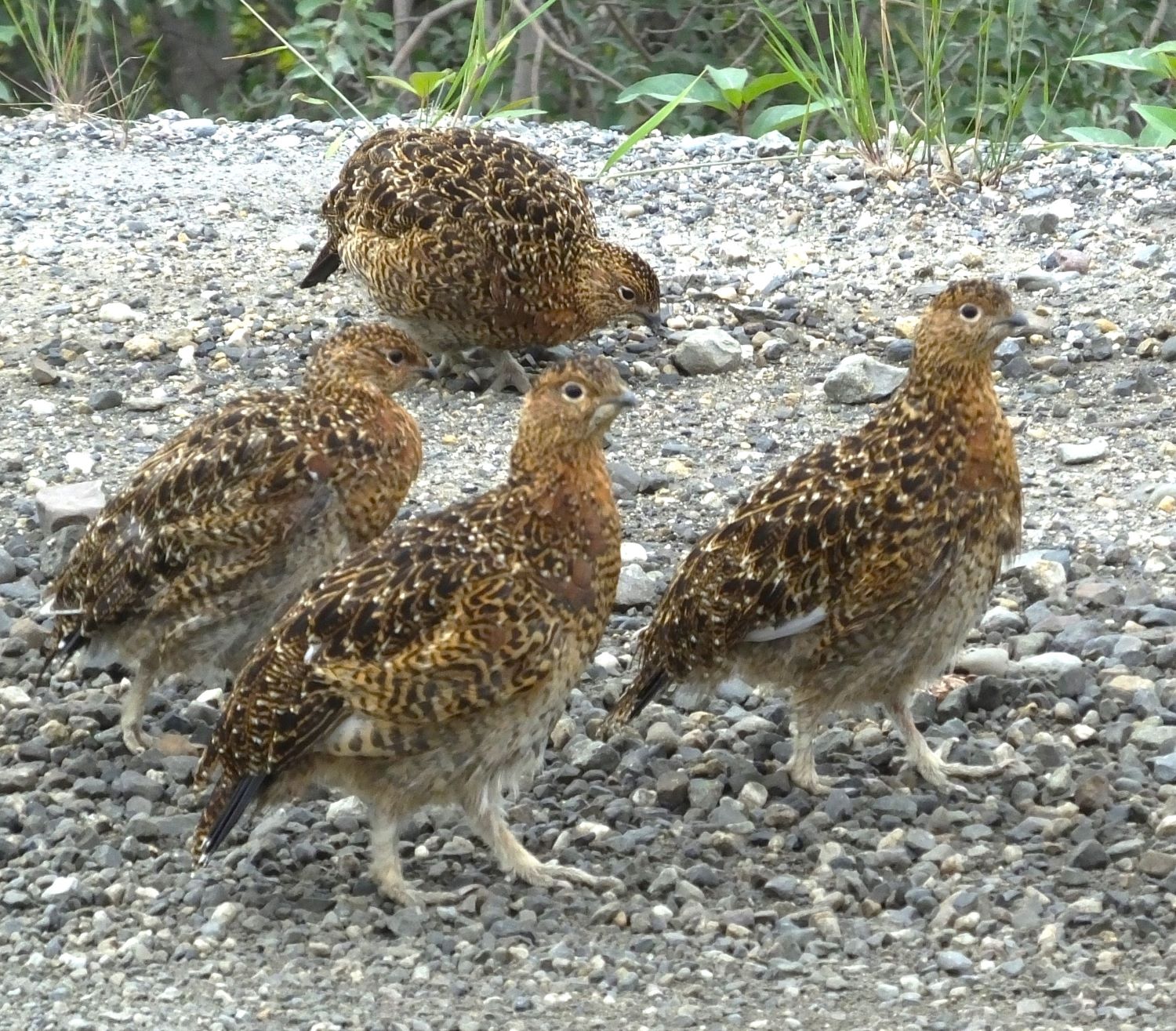
Grouse – 26+
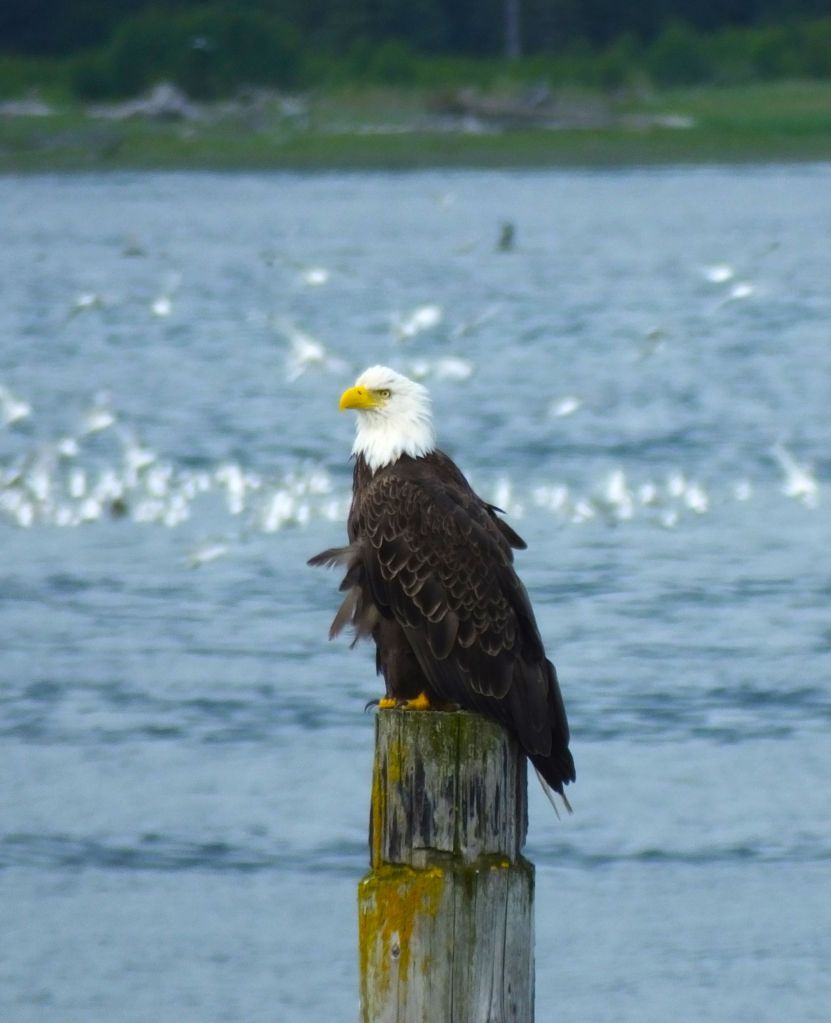
Eagles, Owls – 1 each
Grouse – 26+
Swans – 45+
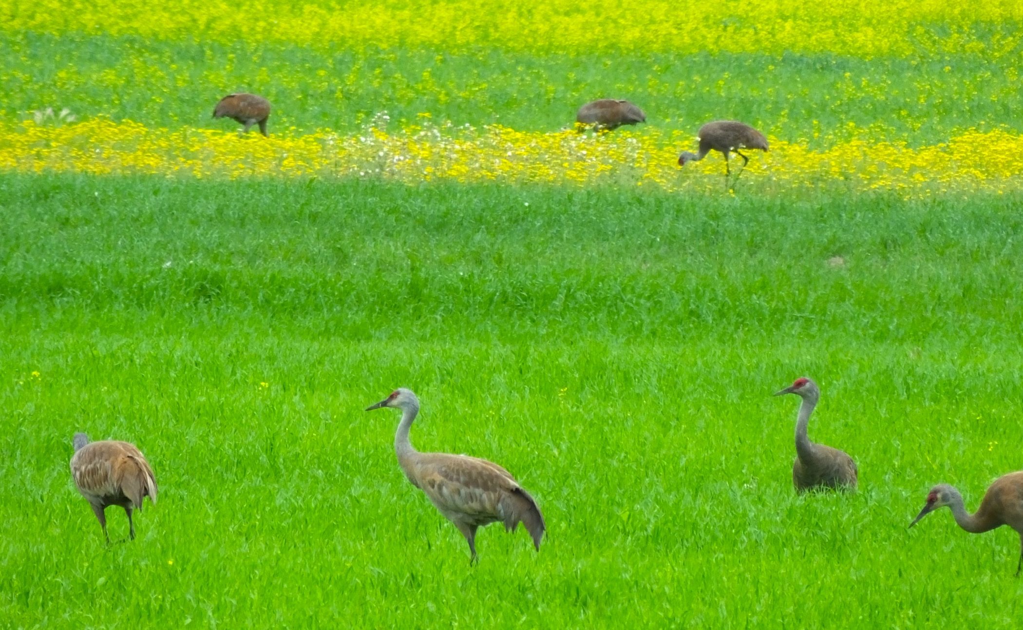
Sandhill canes – 15+
Open range horses – many

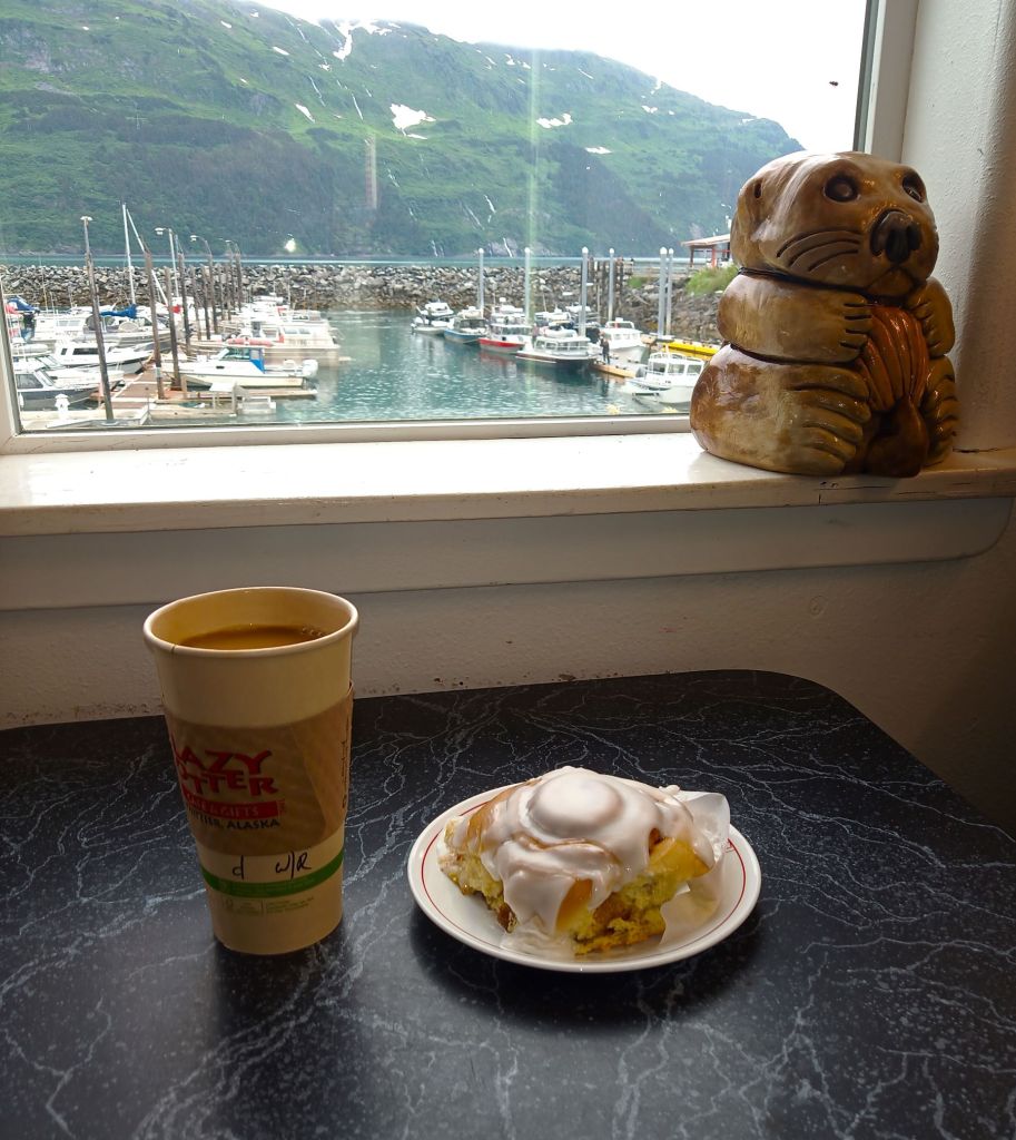
Cinnamon Bun Review
Cinnamon buns weren’t to be found along the Dempster.
So we tried thinking outside the bun. We tried some cinnamon bun-flavored Oreos from a small store in Inuvik. Each crunchy cookie had a sweet cinnamon-flavored center.
Bun score – 0 out of 5. Oreo score – 5 out of 5!

Fortunately, we didn’t abandon our bun quest.
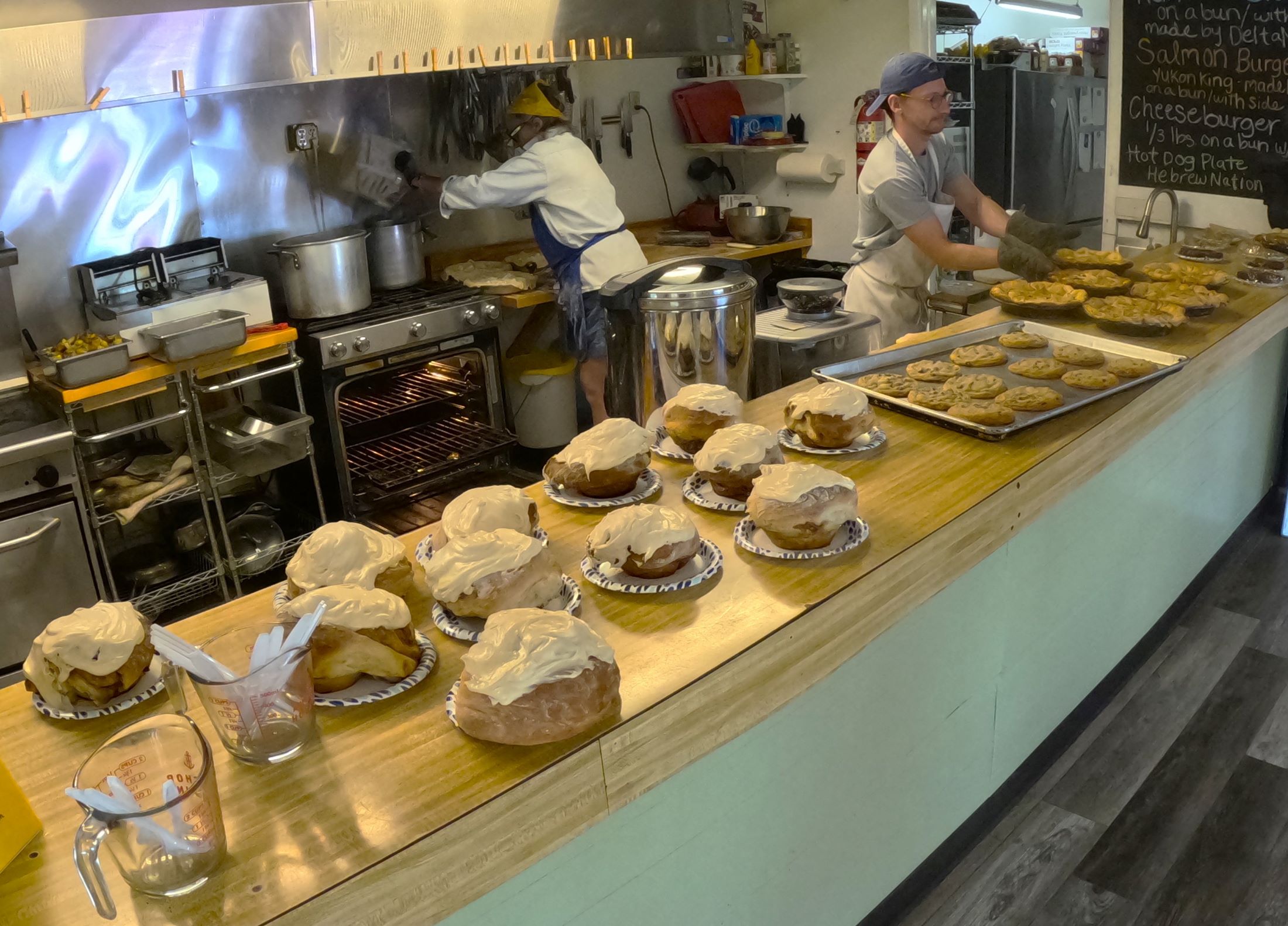
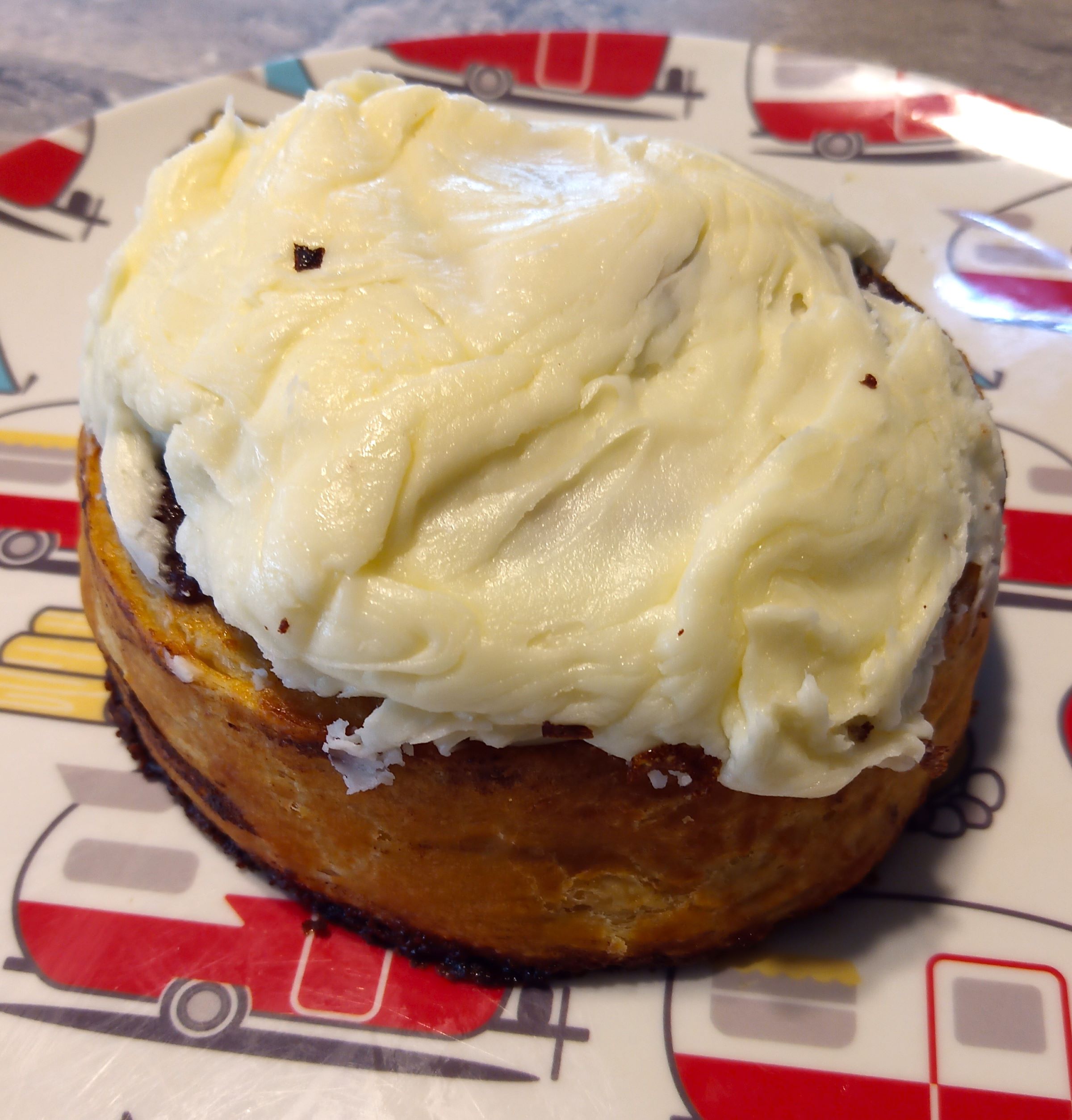
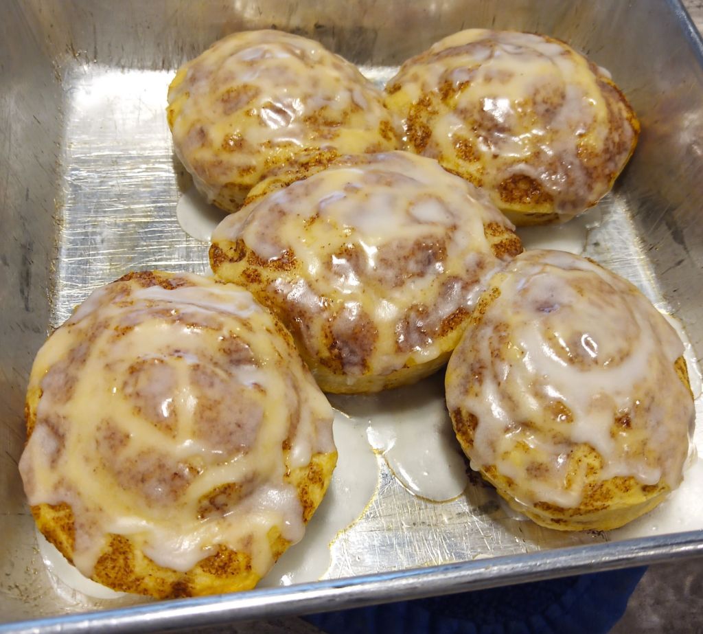
After completing the Dempster, we continued south to Whitehorse (on paved roads, yeah!). A few miles from our destination, we stopped at Braeburn Lodge to try one of their famous cinnamon buns.
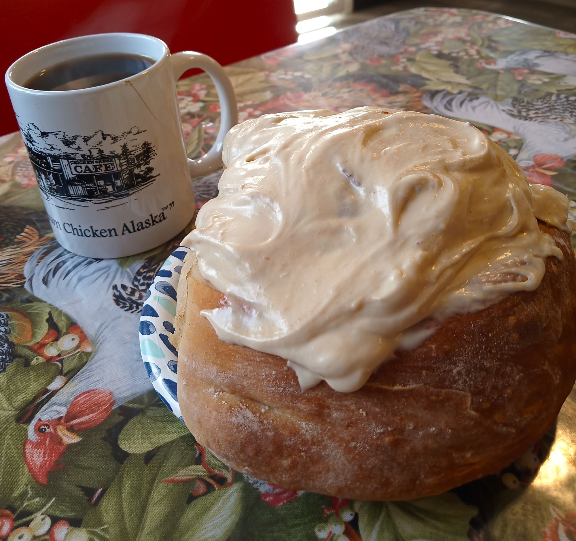
The Braeburn bun is not a snack – it’s an experience!
The owner brought a fresh-baked bun from the kitchen where the magic happens and placed it in front of Pat. We were awestruck by the the paper-plate-sized bun. Its pillowy soft coils were layered with gooey cinnamon and raisins, and drizzled with a generous amount of white icing. Oh my!

We struggled to finish the four-person bun (someone had to do it!), washing down the delicious bites with fresh coffee.
Cinnamon buns don’t get better than this!
Bun score: 5+ out of 5
Next week:
Bears and bison on the Alaska highway