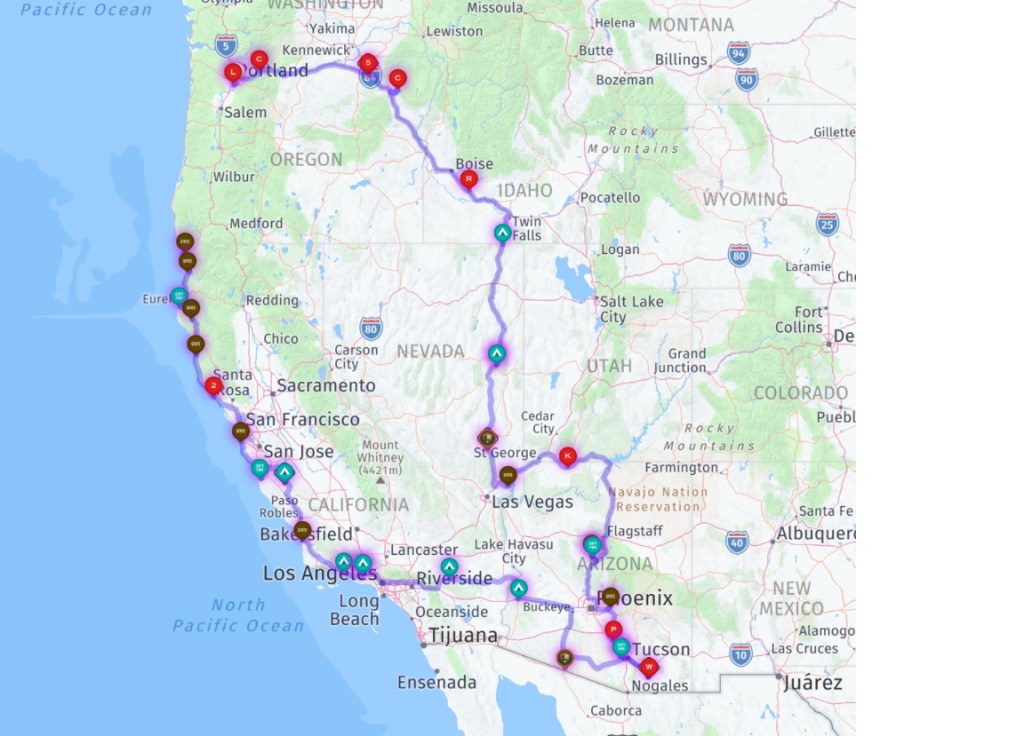
(2023 Alaska Revisited Ep 14)
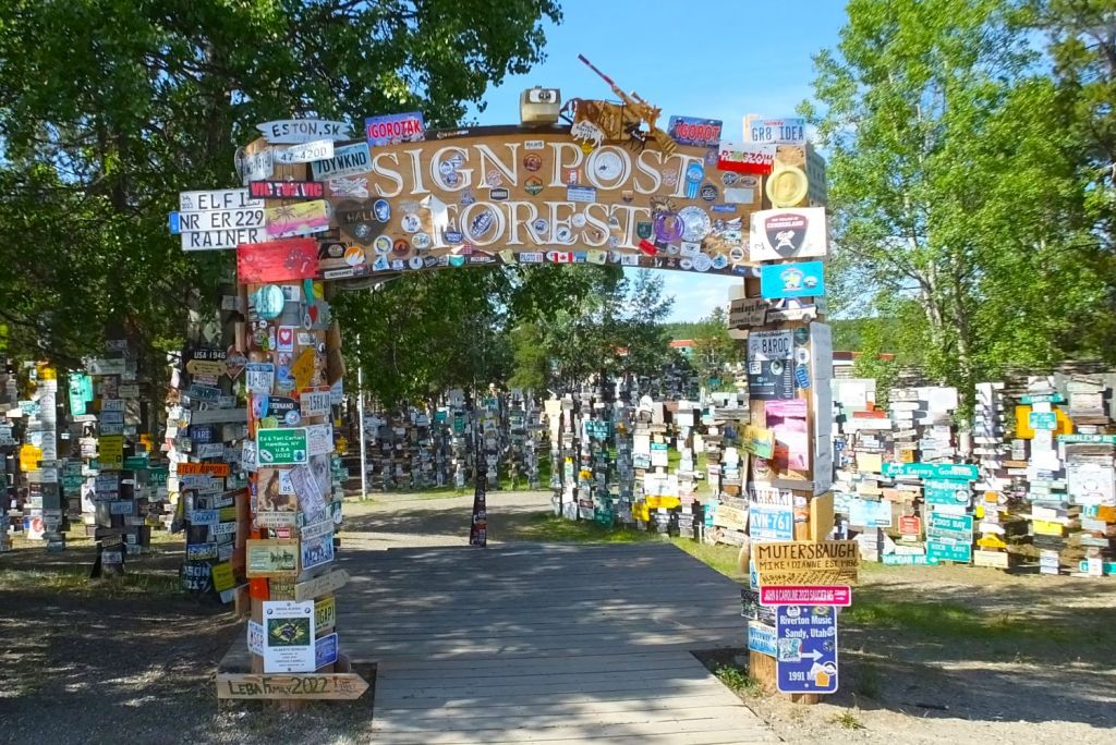
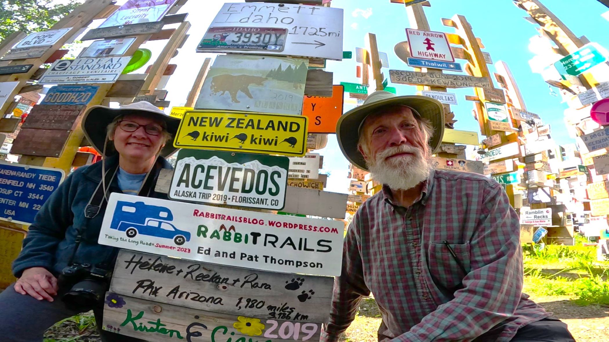
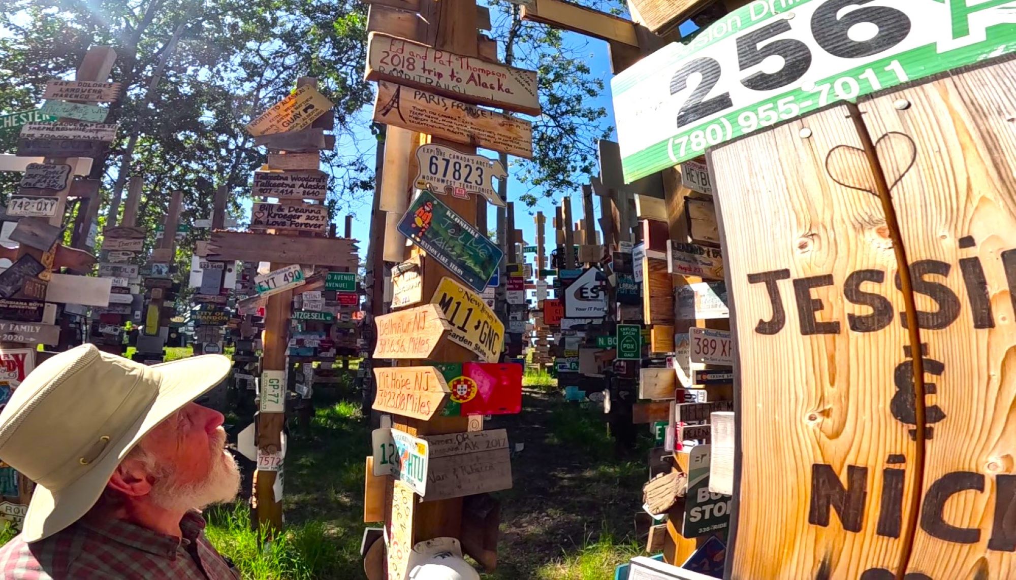
After adding our sign to the Watson Lake Sign Post Forest, we were ready to continue across the Yukon Territory to Alaska!
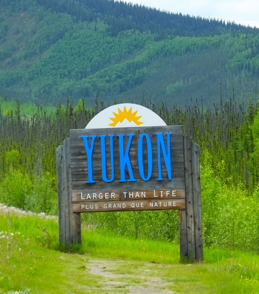
Crossing the Yukon
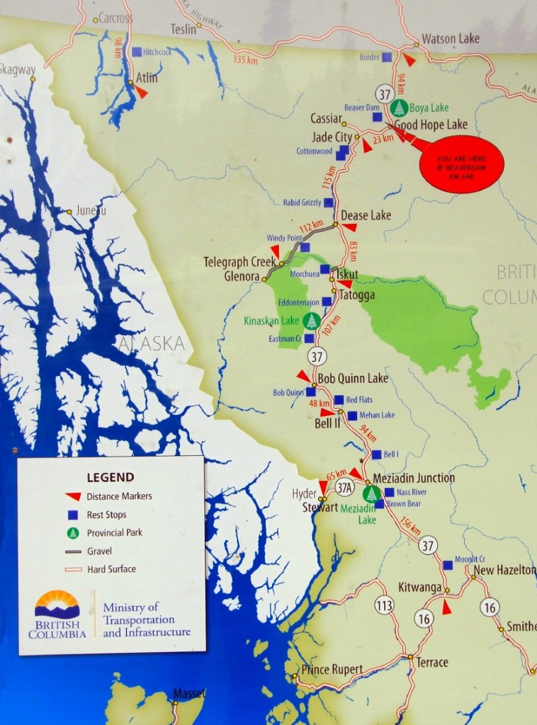
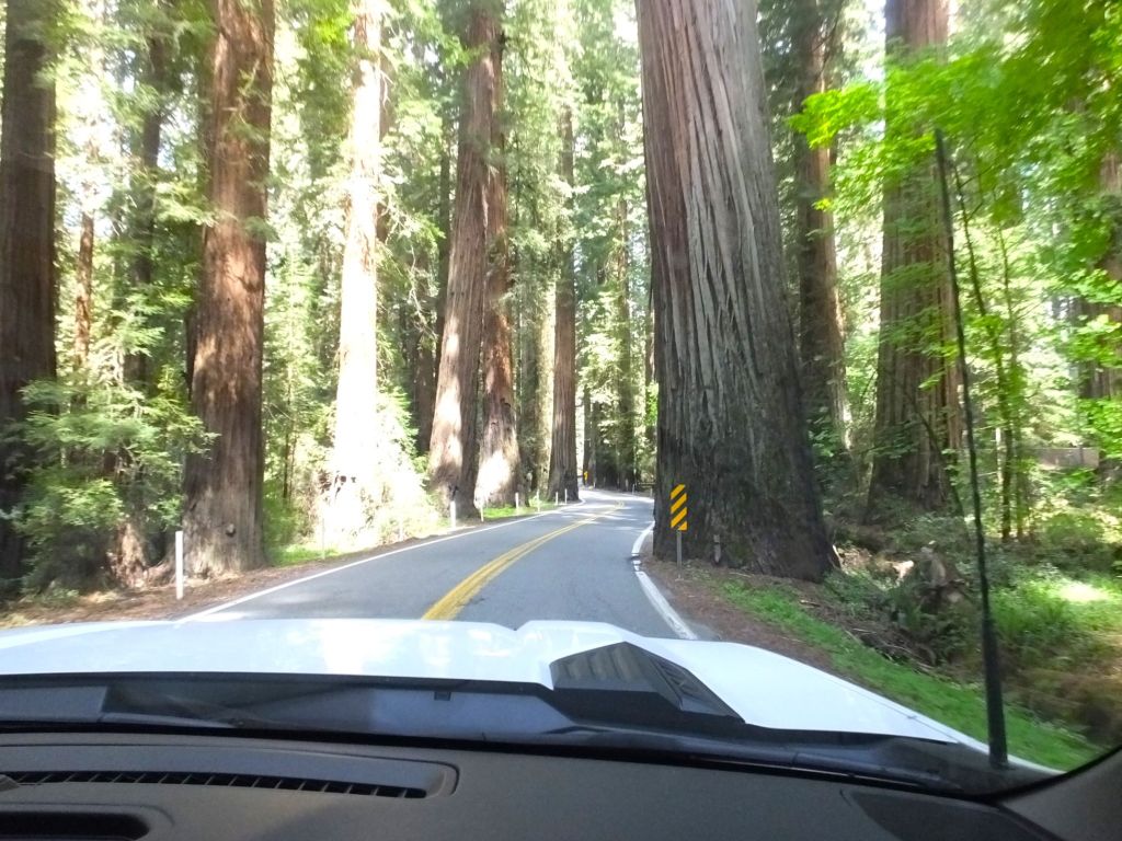
The Yukon Territory is in the far northwest of Canada, extending from the top of British Columbia to the Arctic Ocean. A few roads crisscross the territory, with the Alcan, or Alaska Highway, being the main route to Alaska.
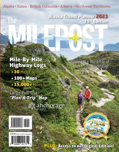
Detailed roadmaps or GPS devices are not essential for directions. The Milepost is essential, however. The thick book provides mile-by-mile (kilometer-by-kilometer?) information about highways in the region with plenty of recommendations for interesting stops along the way.
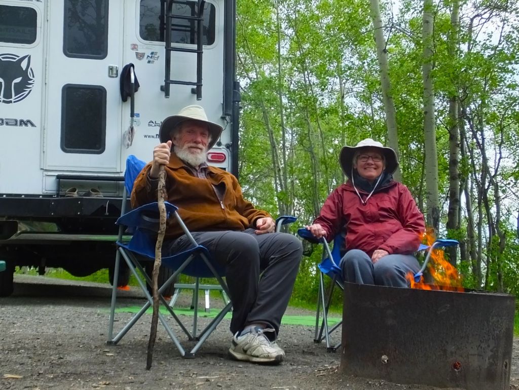
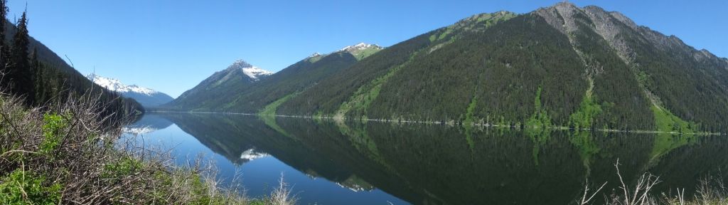
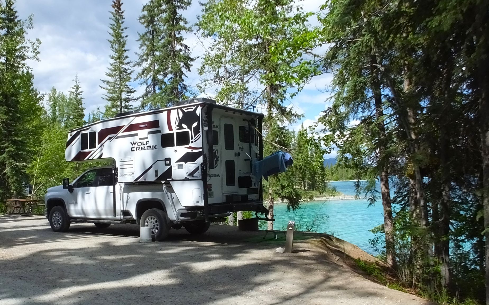
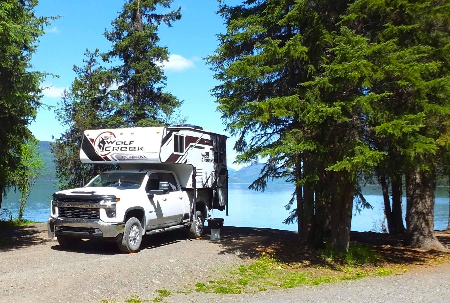
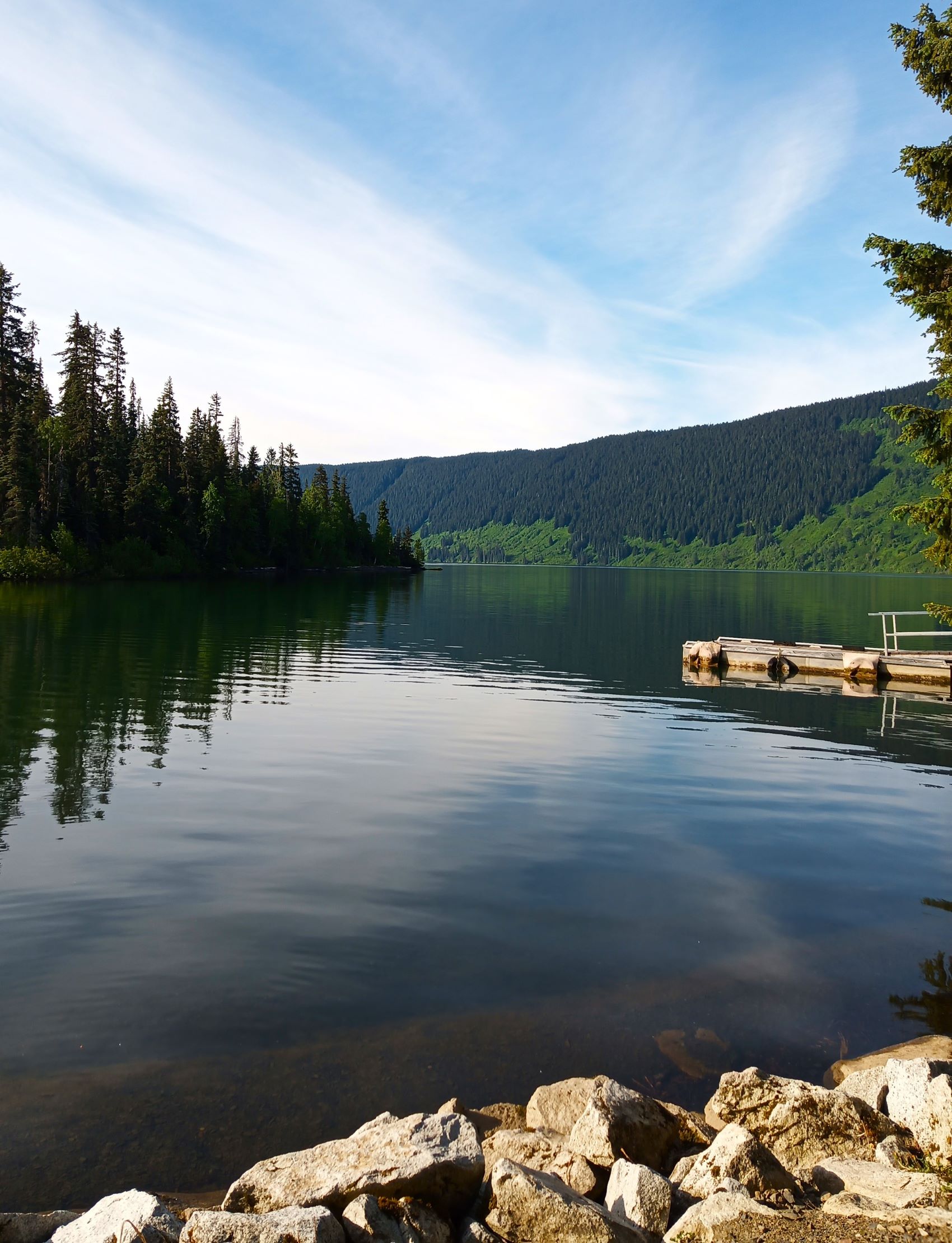
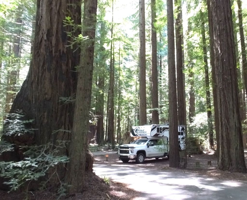
That night we camped at a scenic lakeside territorial park between Watson Lake and Whitehorse and enjoyed sitting by the campfire.
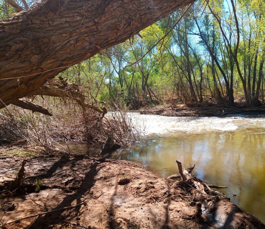
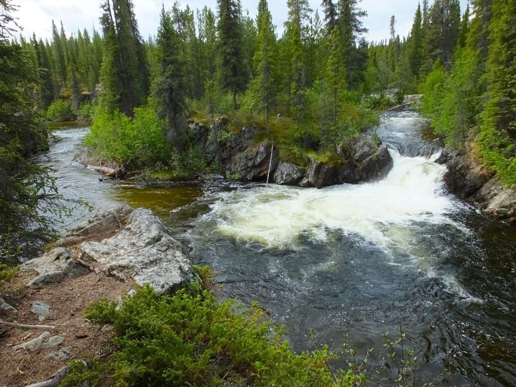
The next morning, we took a short walk to Rancheria Falls and watched two fly fishermen try their luck on the beautiful river.
Alcan Cinnamon Buns

Later that morning we stopped at Johnson’s Crossing Lodge for what they claimed to be the world’s best cinnamon buns. The coffee was hot and the buns were sweet, cinnamon goodness. But they weren’t fresh (baked the previous day) and contained raisins, not our favorite ingredient for such buns. Our eval: good but not the world’s best. Bun score: 3 out of 5.
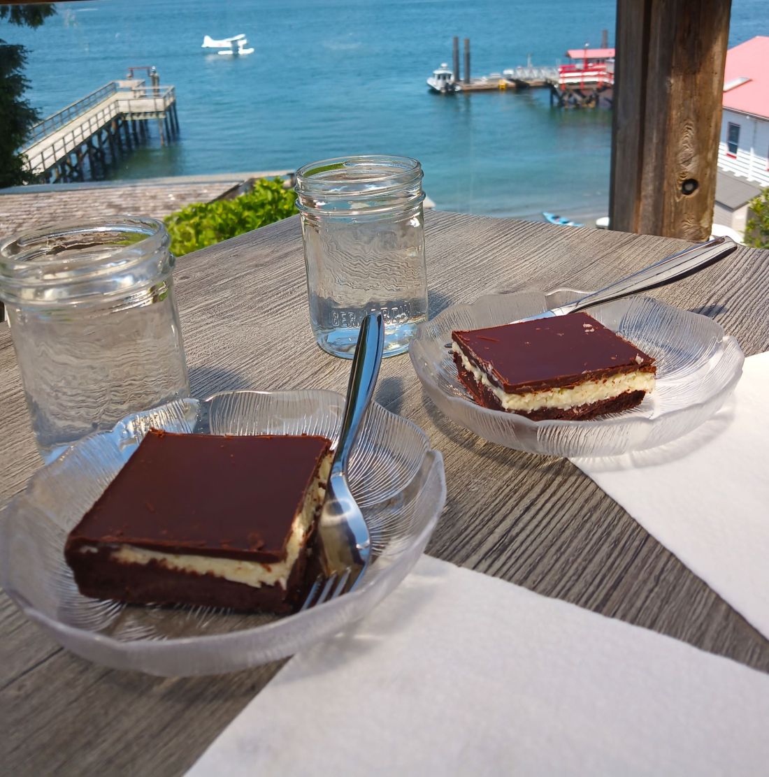
(Like Nanaimo Bars on Vancouver Island, fresh coffee and homemade cinnamon buns lure travelers all along the Alaska Highway. Many places claim to have the world’s best cinnamon buns. As a public service, we’ll give them a try and provide our somewhat objective cinnamon bun score!)
On to Whitehorse
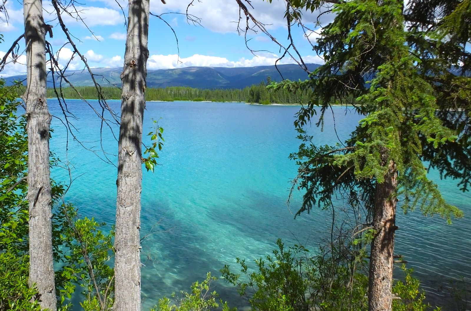
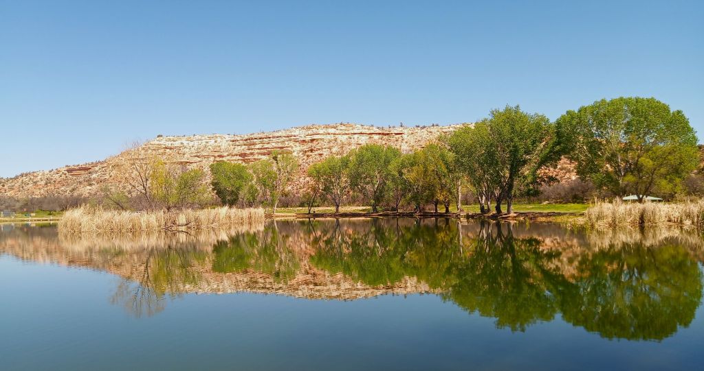
Our destination was Whitehorse, the capital and largest town in the territory (population 35,000). A few miles before Whitehorse, however, we stopped to take the photo below.
Whitehorse
Whitehorse was busy, with lots of RVers and others refueling and restocking for the final drive to Alaska. The town is located on the banks of the broad and swift-flowing Yukon River.
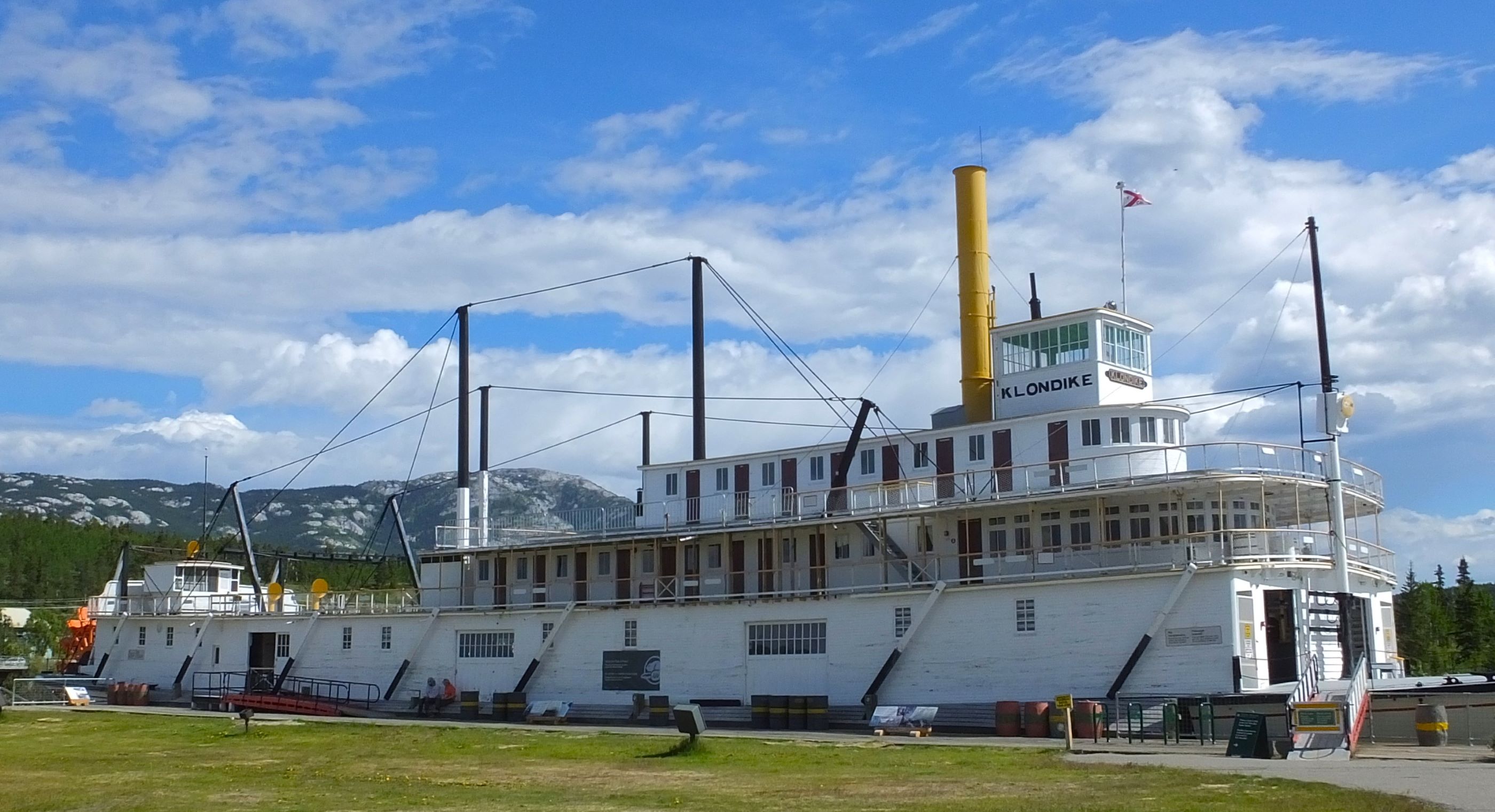
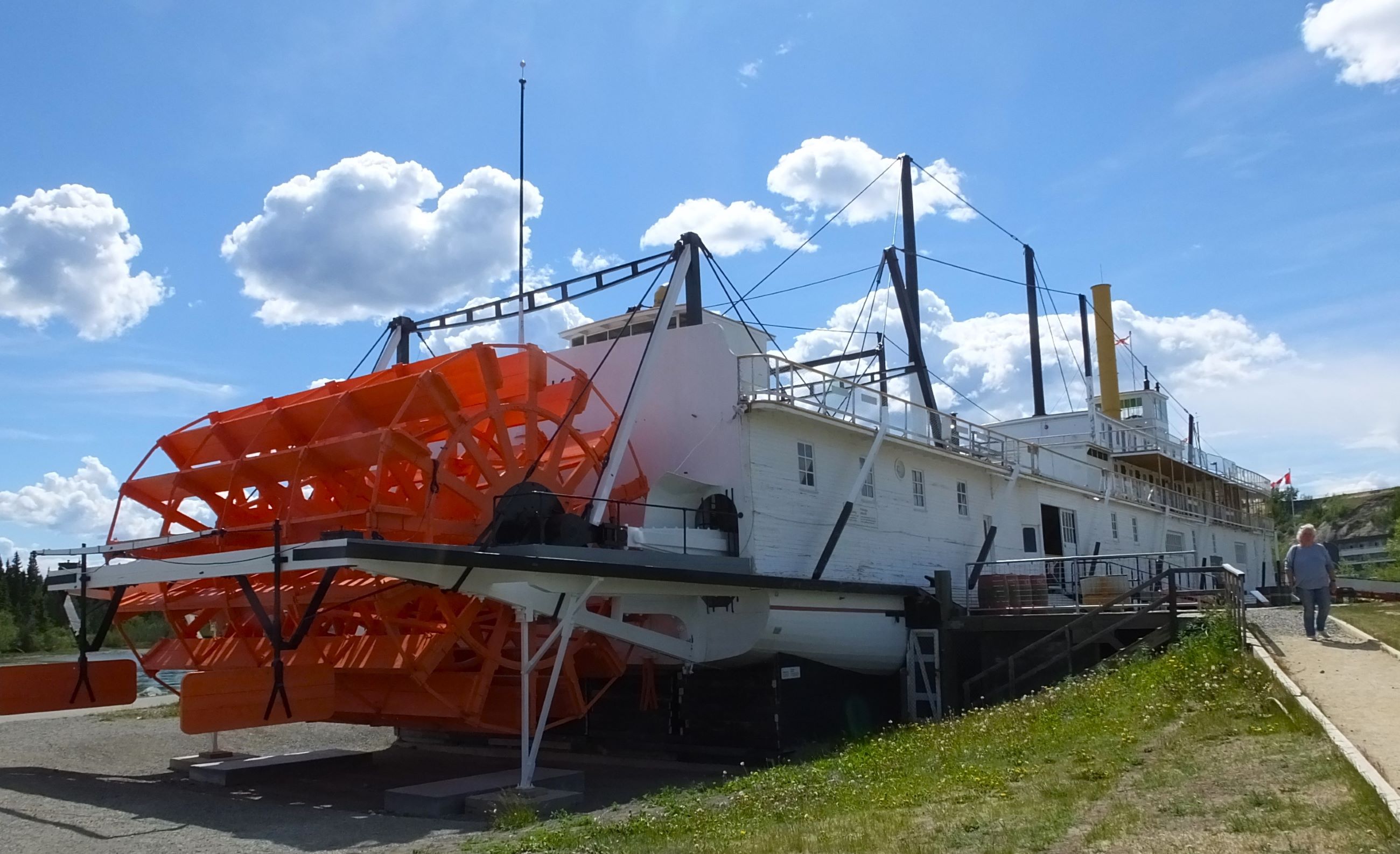
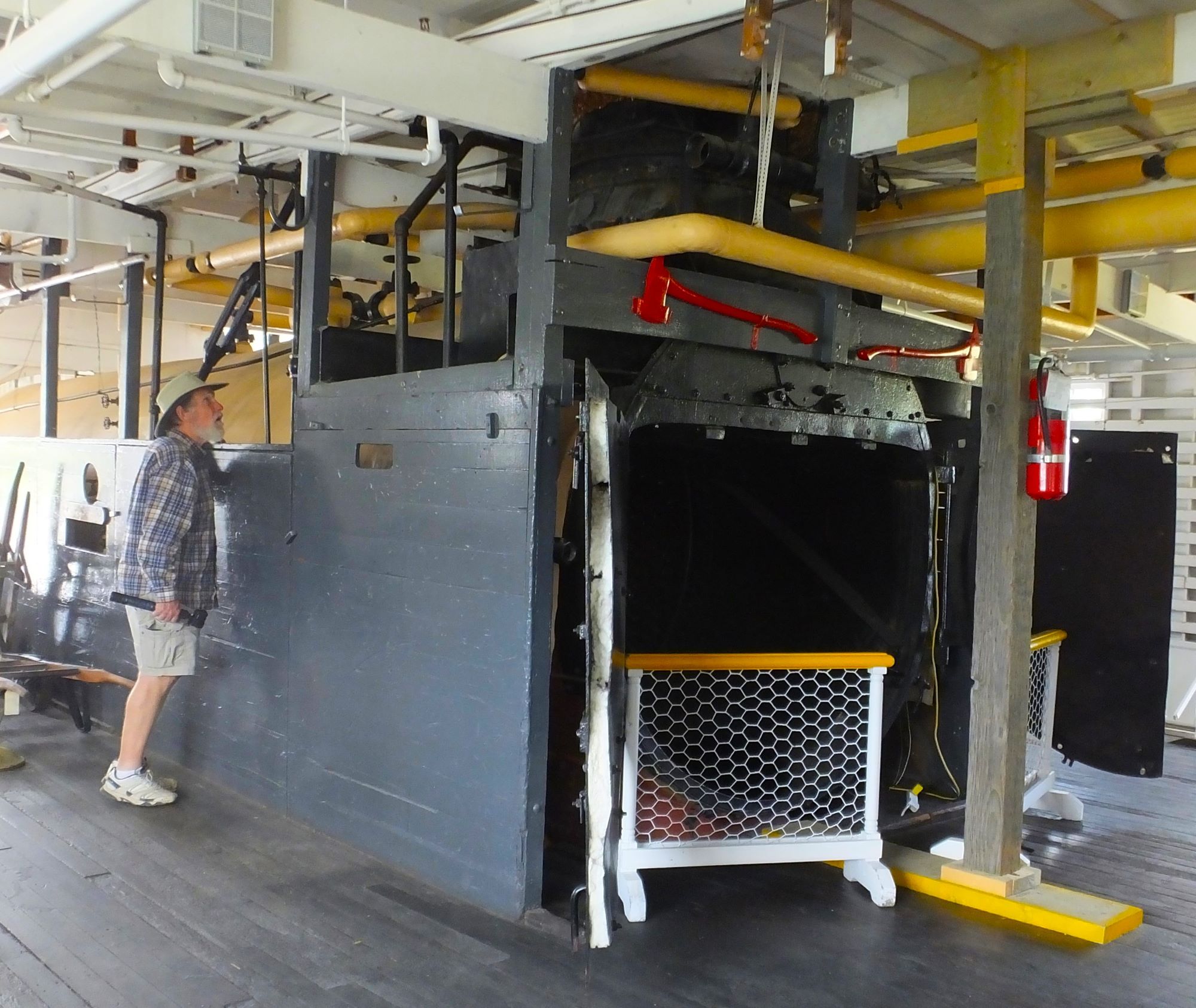
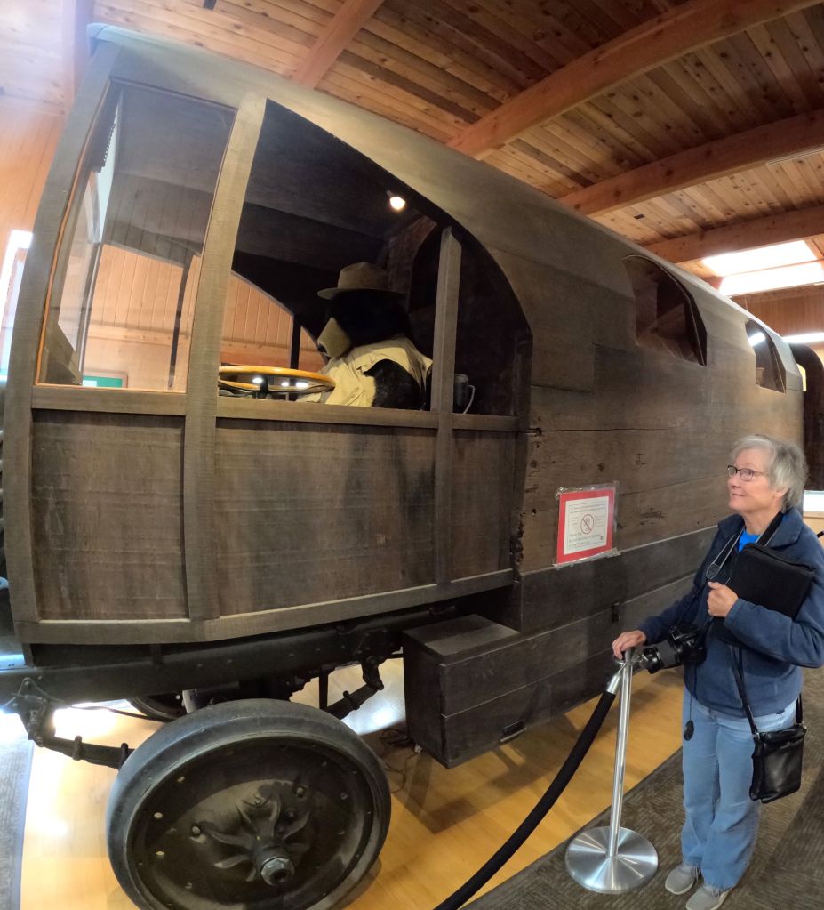
Views of the historic Klondike sternweeler
We toured the S.S. Klondike, a 210-ft long shallow draft sternwheeler that transported passengers and cargo 500 miles downriver to Dawson City, Yukon until 1950. More than 250 sternwheelers plied the treacherous 2000-mile-long Yukon from the late-1800s gold rush days until the mid-1950s. Massive wood lots along the river provided fuel for the steam-powered vessels, with boats like the Klondike using up to a cord of wood an hour.
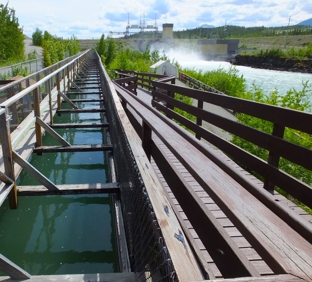
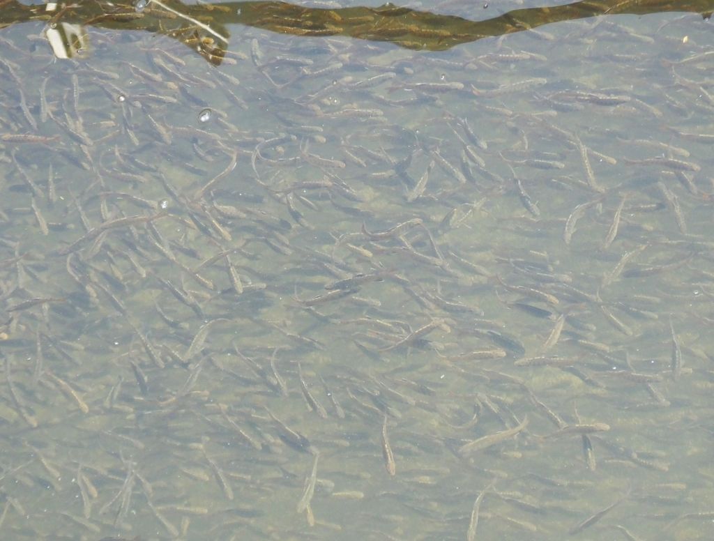
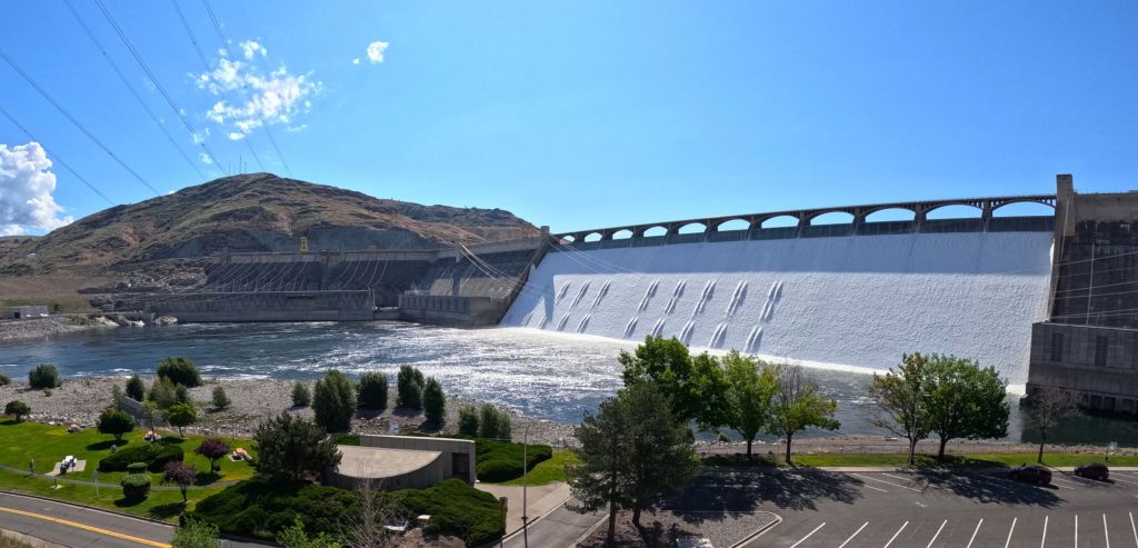
The next day we rode our bicycles on a five-mile trail along the river, stopping at the Whitehorse Dam, whose hydroelectric generators produce power for the town. We were fascinated by a wood fish ladder that provides chinook salmon returning more than 2000 miles from the Pacific access to spawning grounds further up the Yukon. At 1200 feet, it’s the longest wooden fish ladder in the world.
We planned to celebrate Pat’s birthday at the Klondike Ribs and Salmon Restaurant, but were disappointed to learn the restaurant had recently closed. So we settled for a nice rib-less dinner at the nearby Woodcutter’s Blanket.
Lunch in Haines Junction
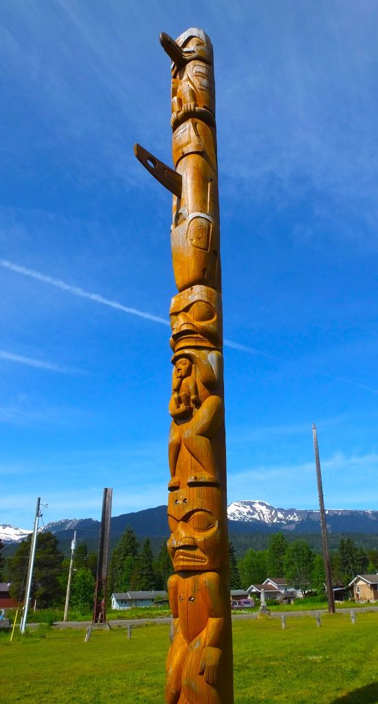
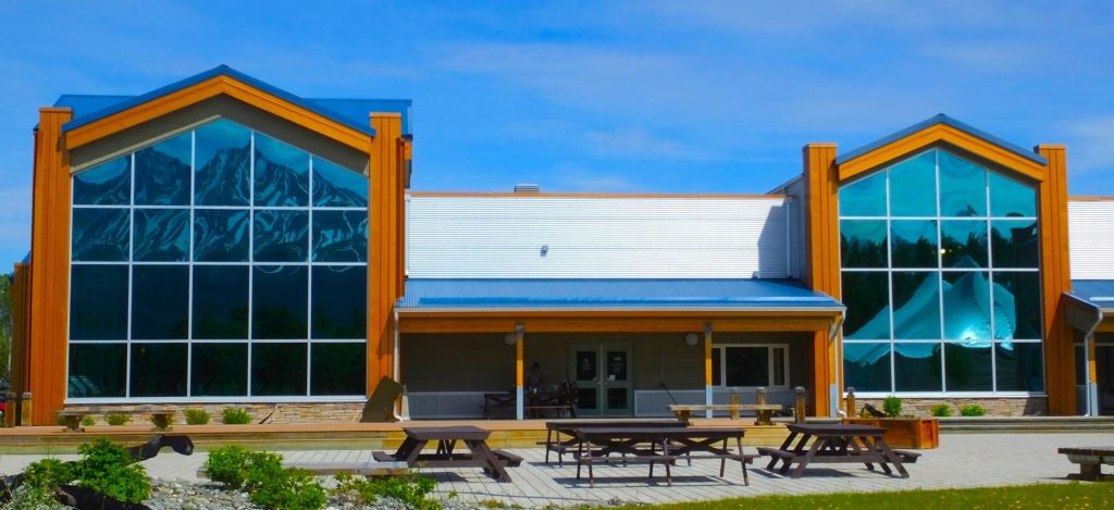
After four nights, we left Whitehorse and stopped several hours later for a free lunch of stew and bannock at the Haines Junction Visitor Information Centre. It was National Indigenous Peoples Day, a celebration of the history, heritage, resilience and diversity of native people across Canada. We learned a little about the Tlingit and other native people in the area and enjoyed their hospitality.

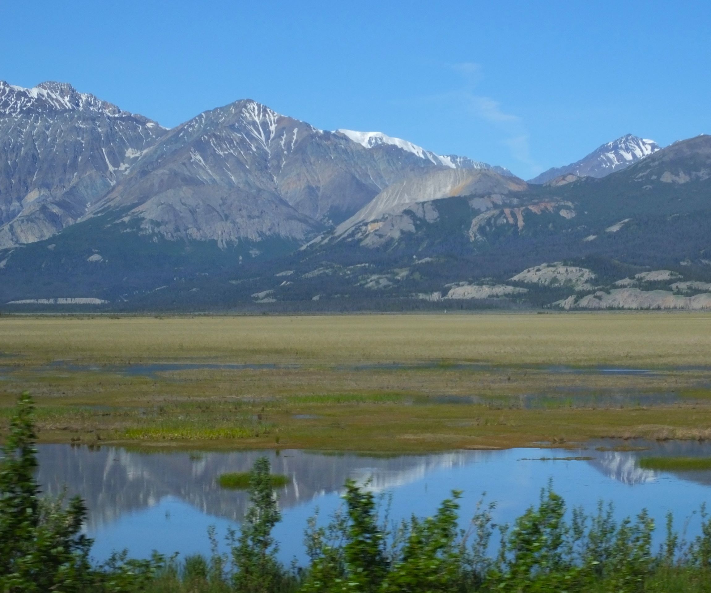
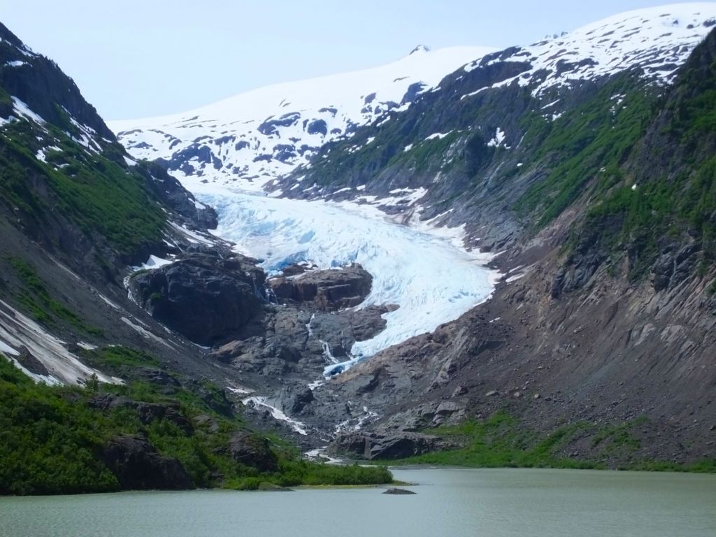
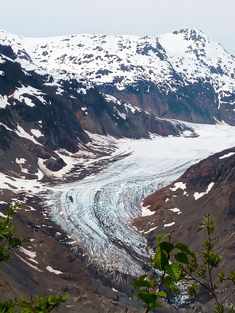
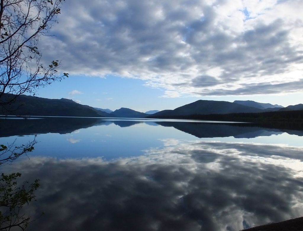
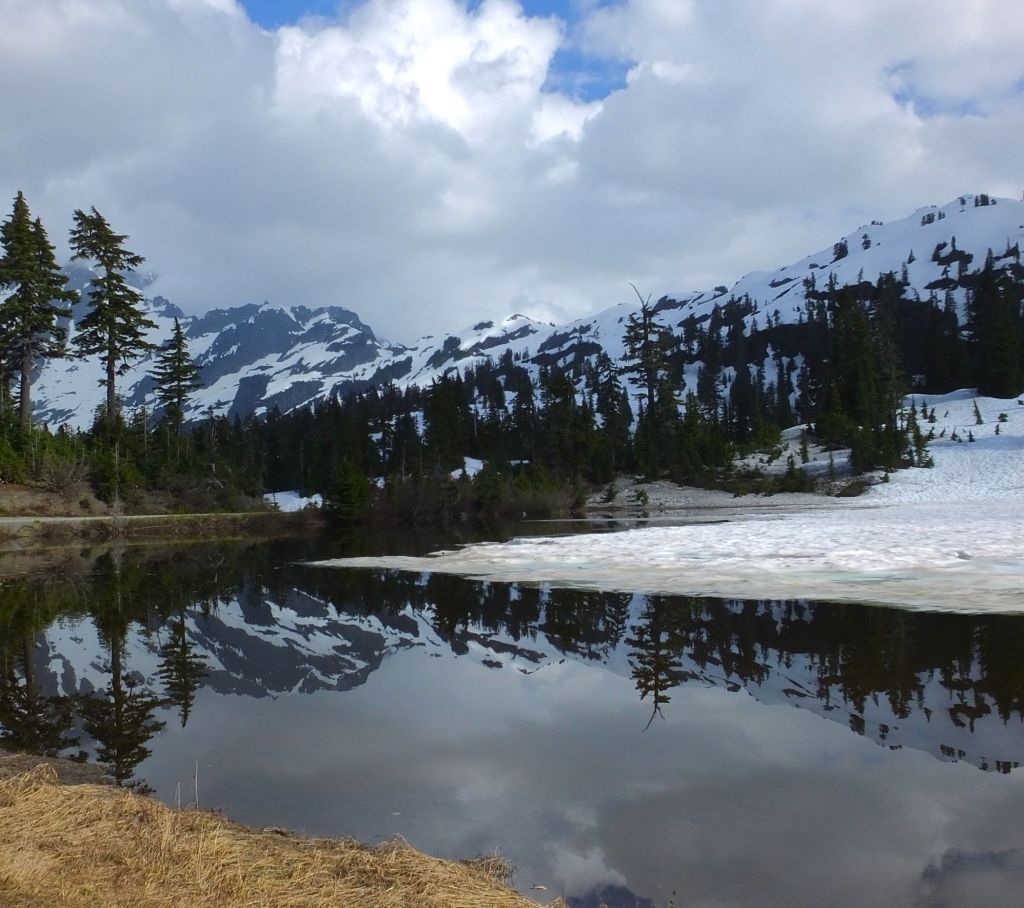
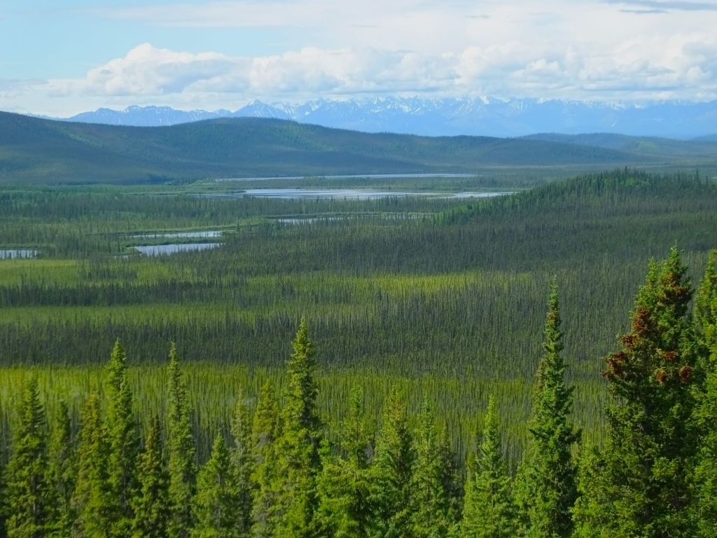
Views of Kluane NP
Kluane (Rhymes with Suwannee)
That night we camped at Kluane NP. The park is rugged and beautiful, with snowcapped mountains and glaciers to the west. When combined with the Wrangell-St Elias NP in the US, the region is the largest international protected area in the world.
Any references to Kluane (and Alaska as well) should include mention of clouds of large and hungry mosquitoes. We’ve learned the mosquitoes are having a big year in 2023 unlike our mostly mosquito-free 2018 trip!
After leaving Kluane NP, our route took us back through Haines Junction. We stopped at Village Bakery for coffee, and learned they, too, had cinnamon buns. The buns were slightly better (a little fresher with great frosting) than those we tried earlier. Bun score: 3.5.
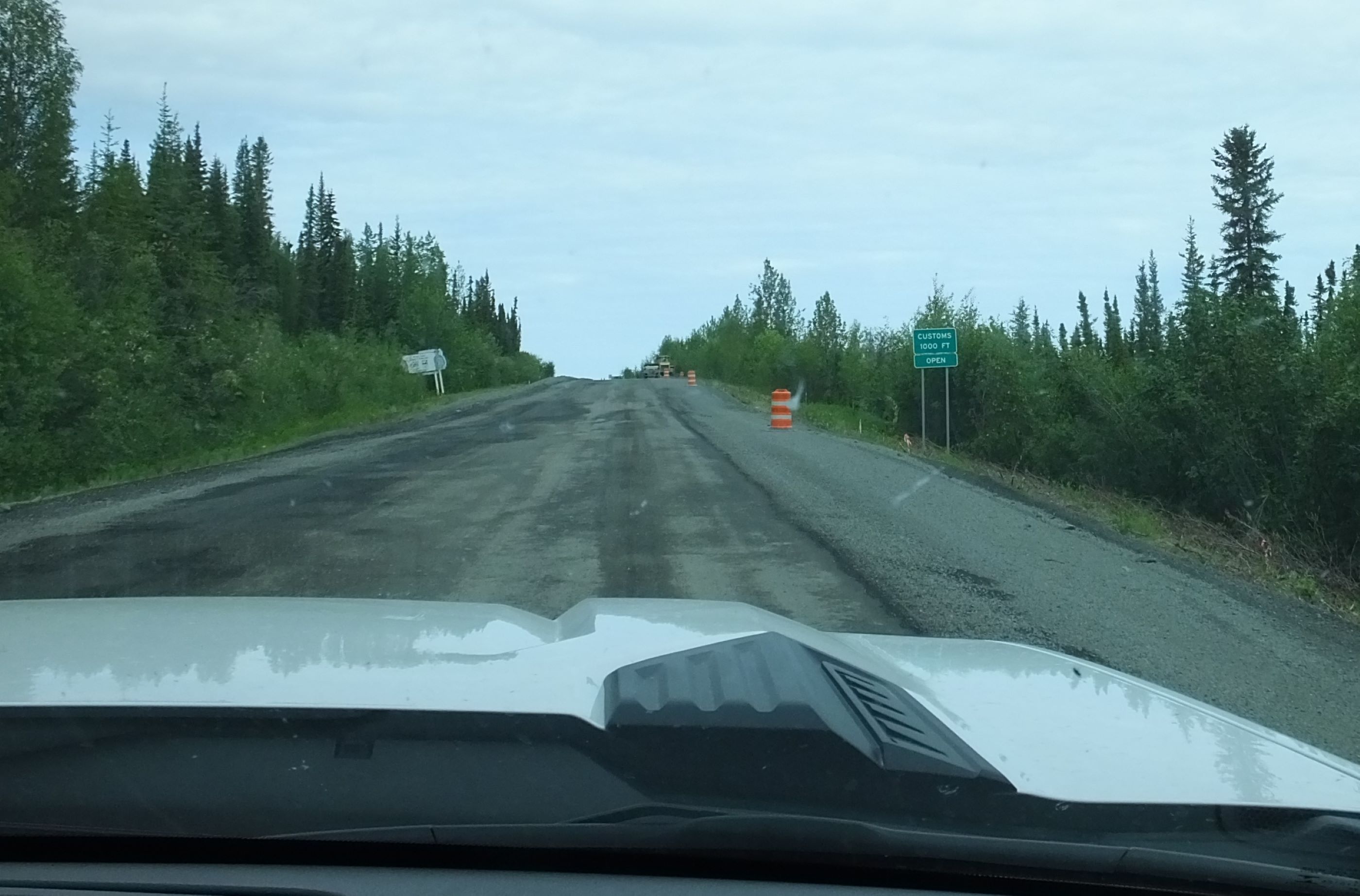
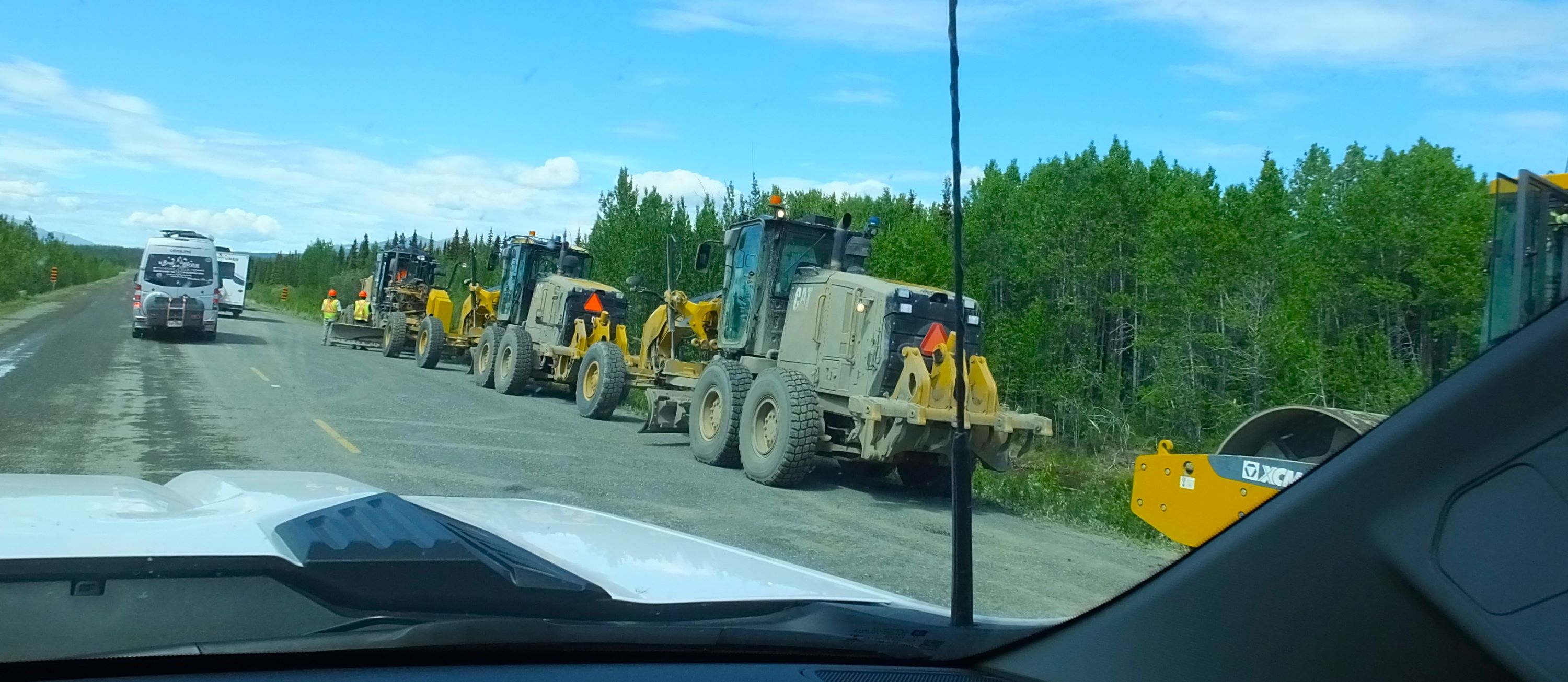
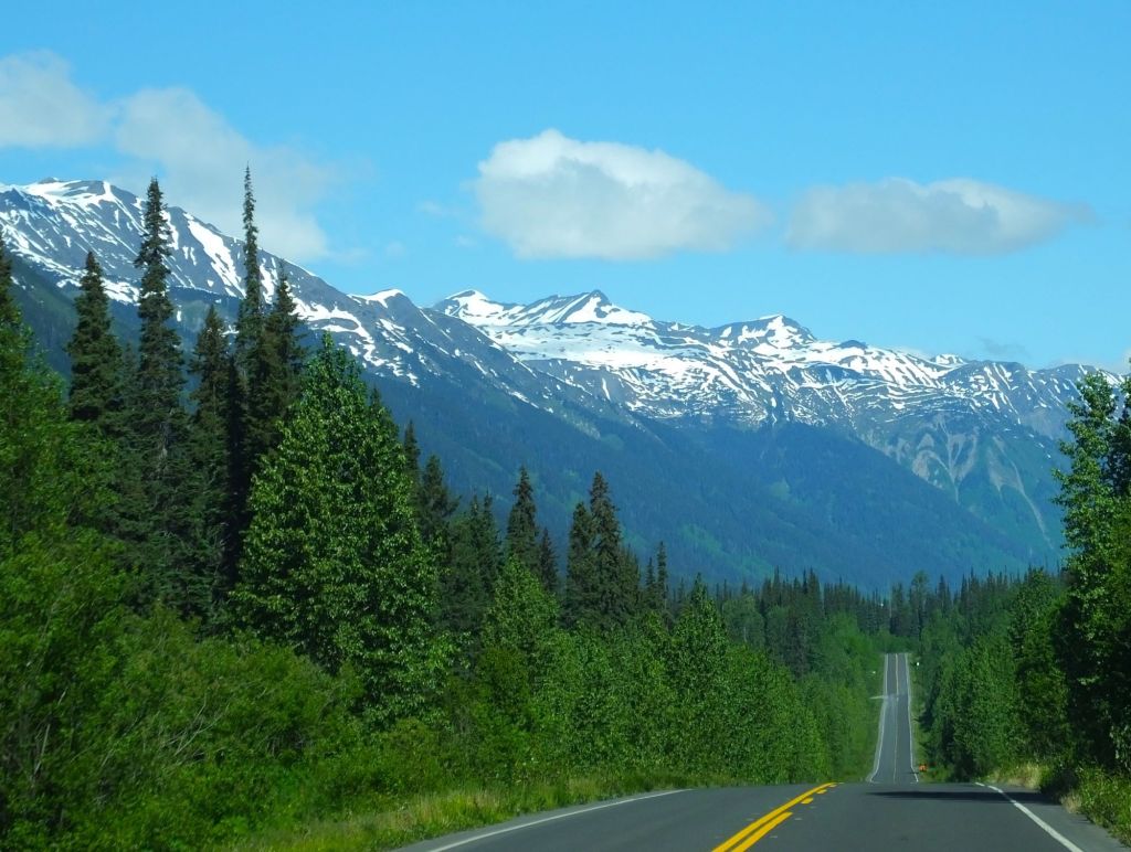
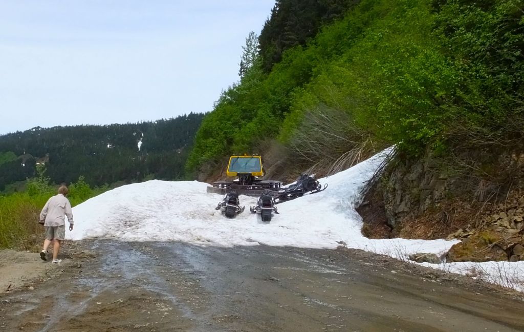
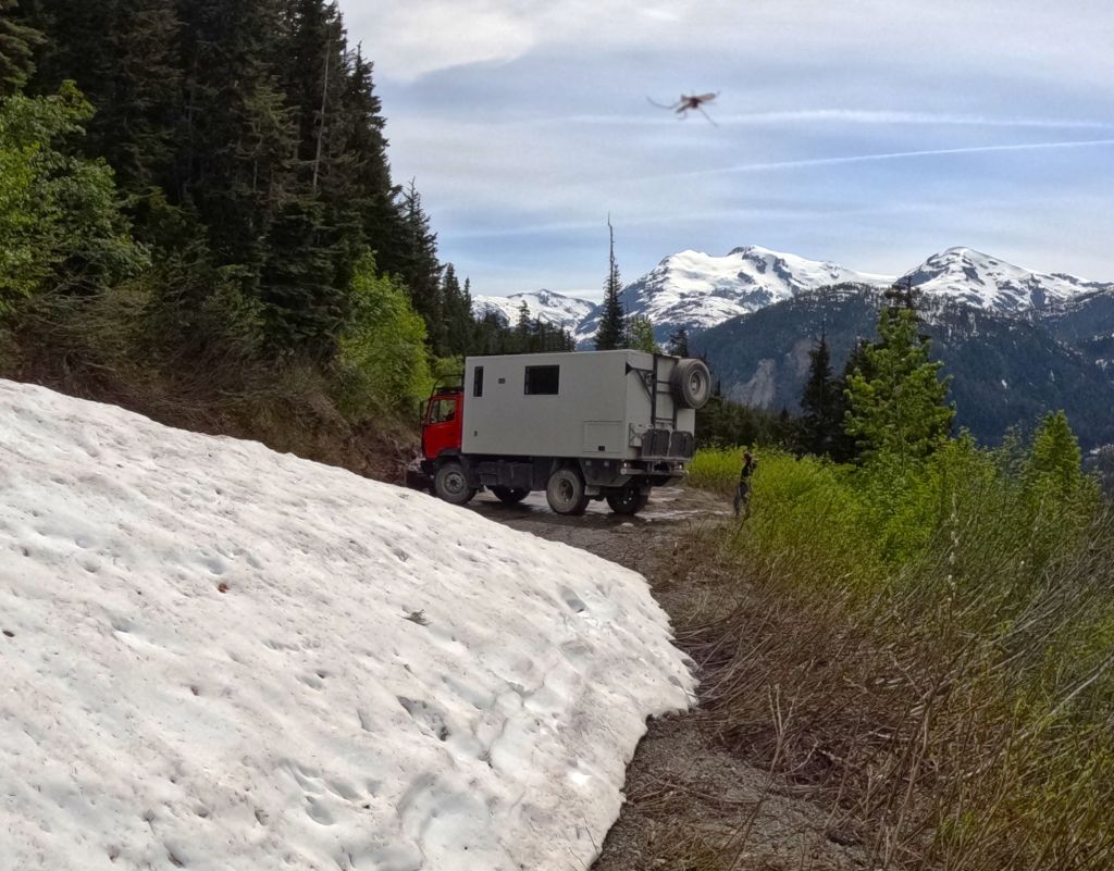
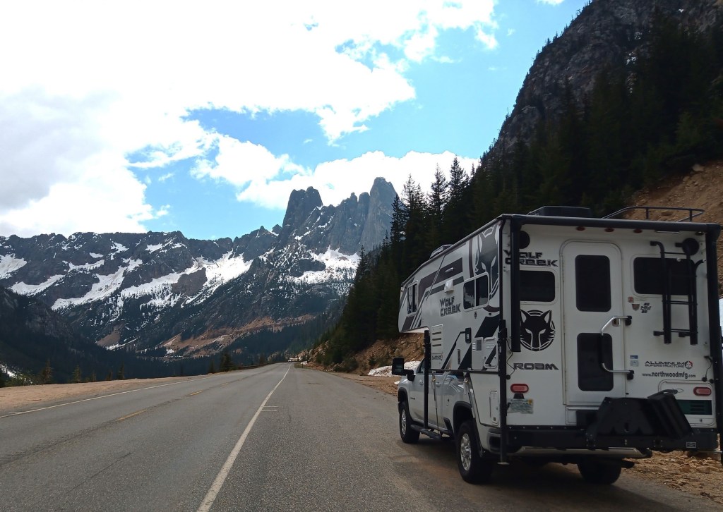
The roads were rough between Haines Junction and Tok, Alaska, with numerous construction delays
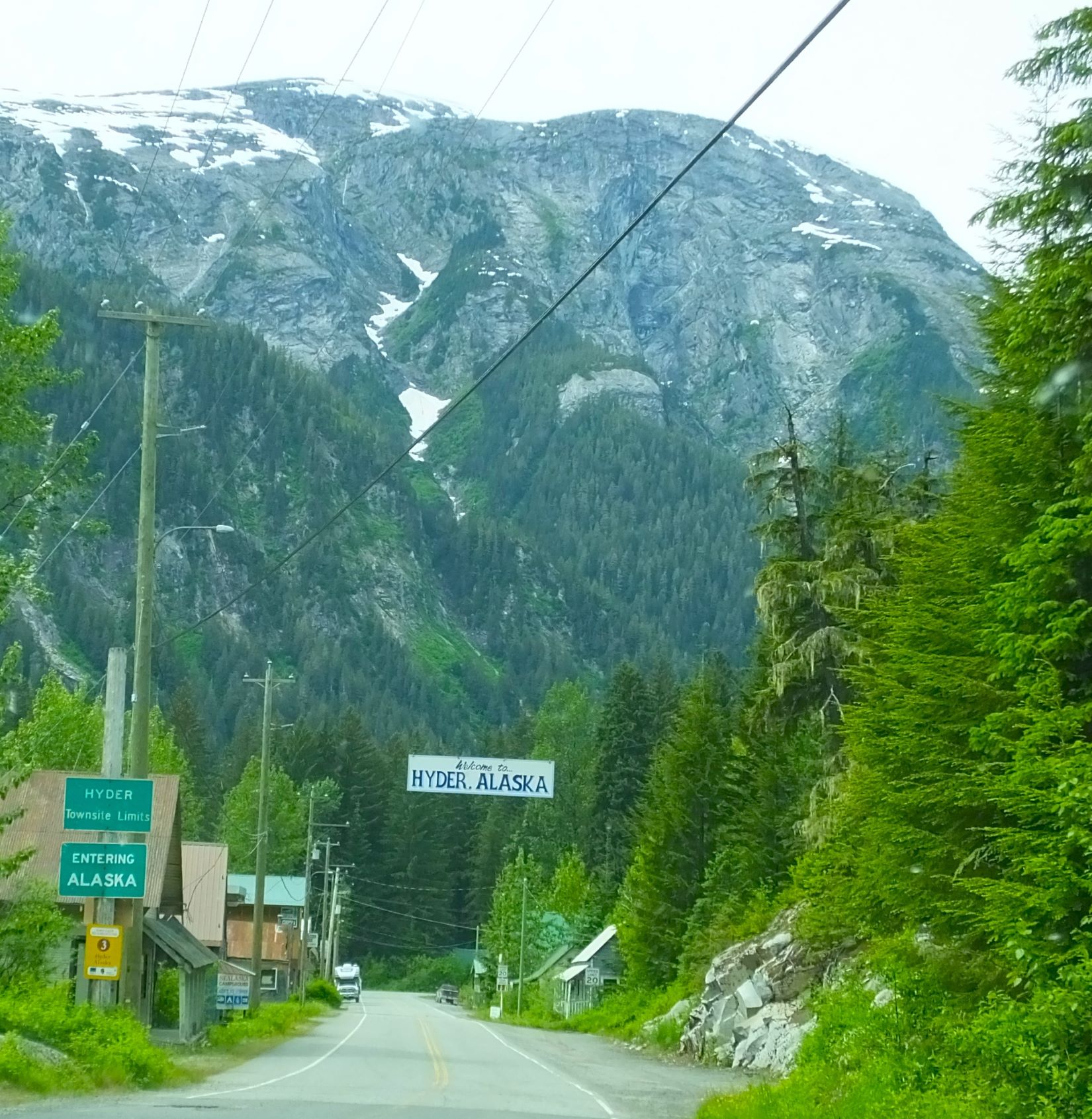
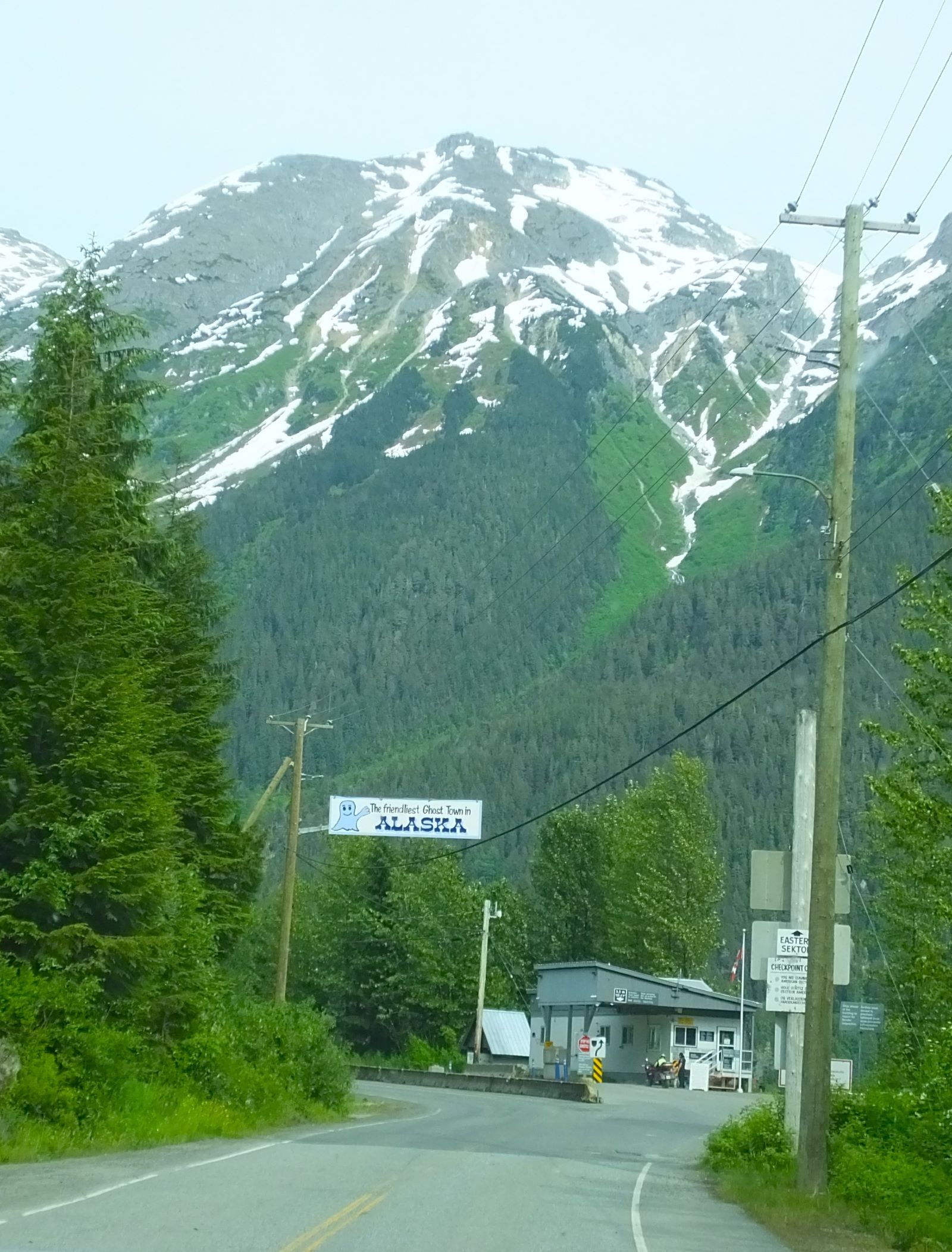
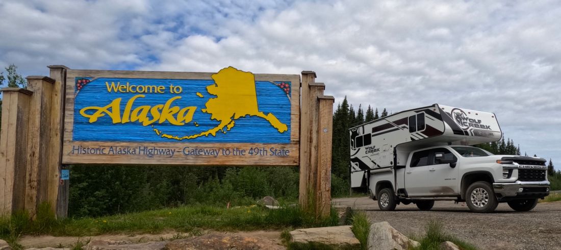
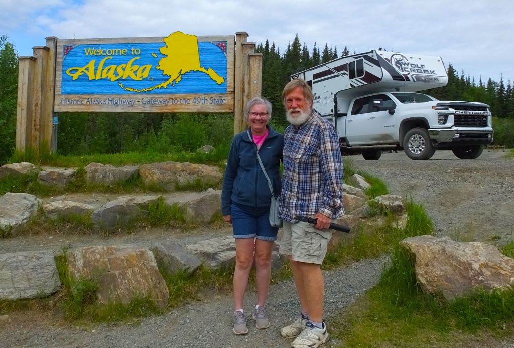
Arriving In Alaska (Finally)
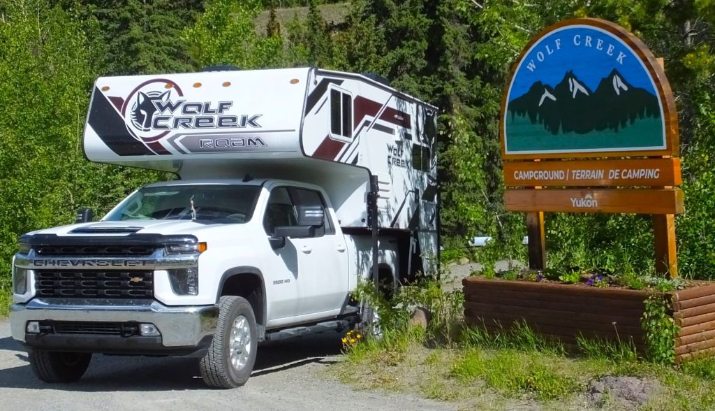
After one final night at the same Yukon territorial campground we stayed at in 2018, we reached the Alaska border, almost three months and 11000 miles since leaving home on March 25.
At the border we experienced two challenges that were amazing reminders of God’s protection and provision. More on these next week as our 2023 Alaska Revisited journeys continue.

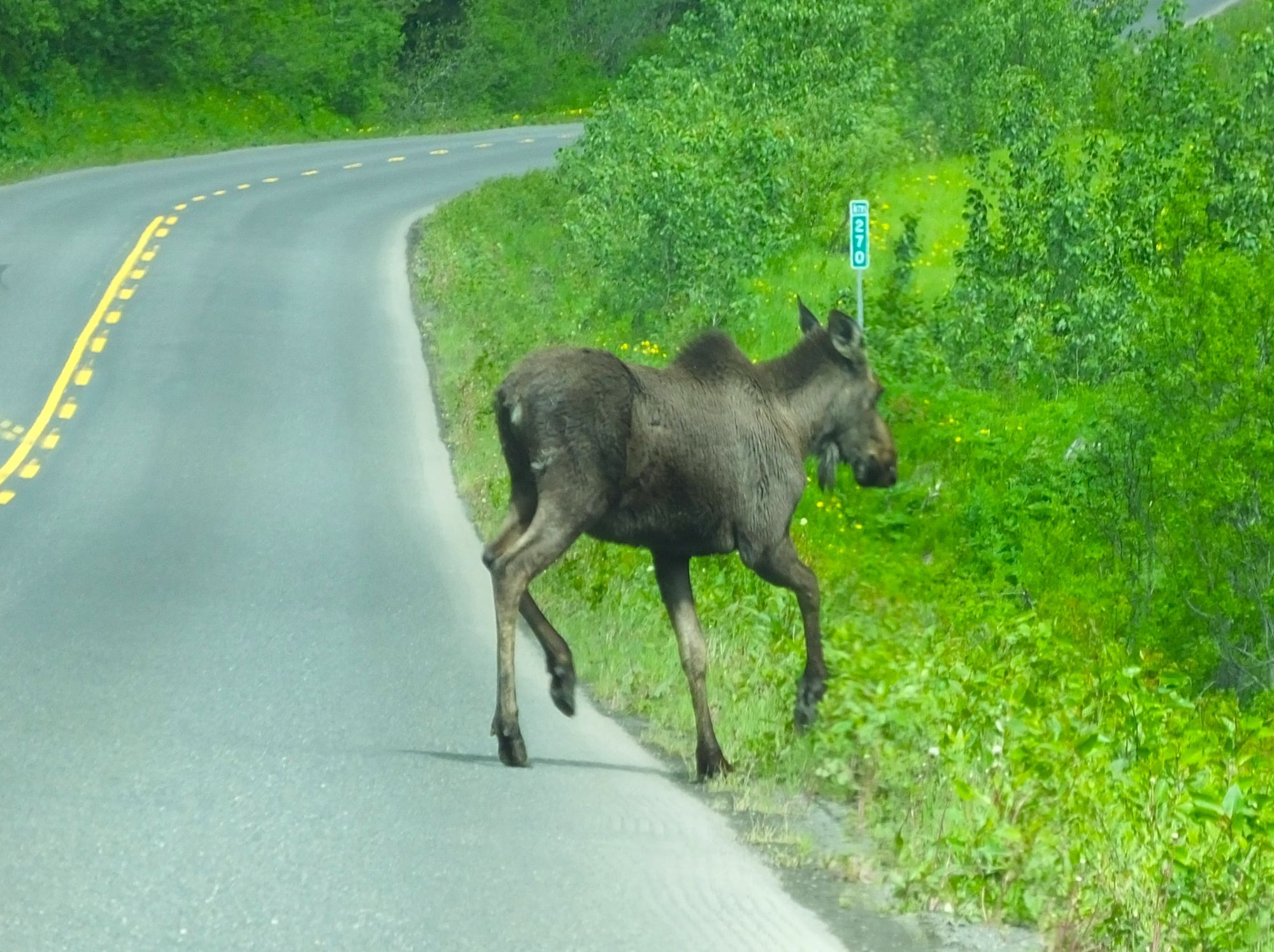
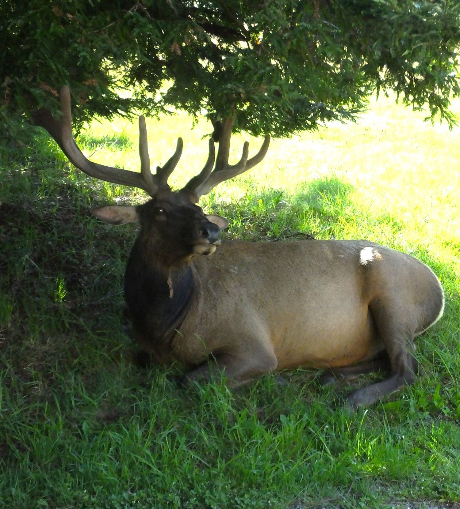
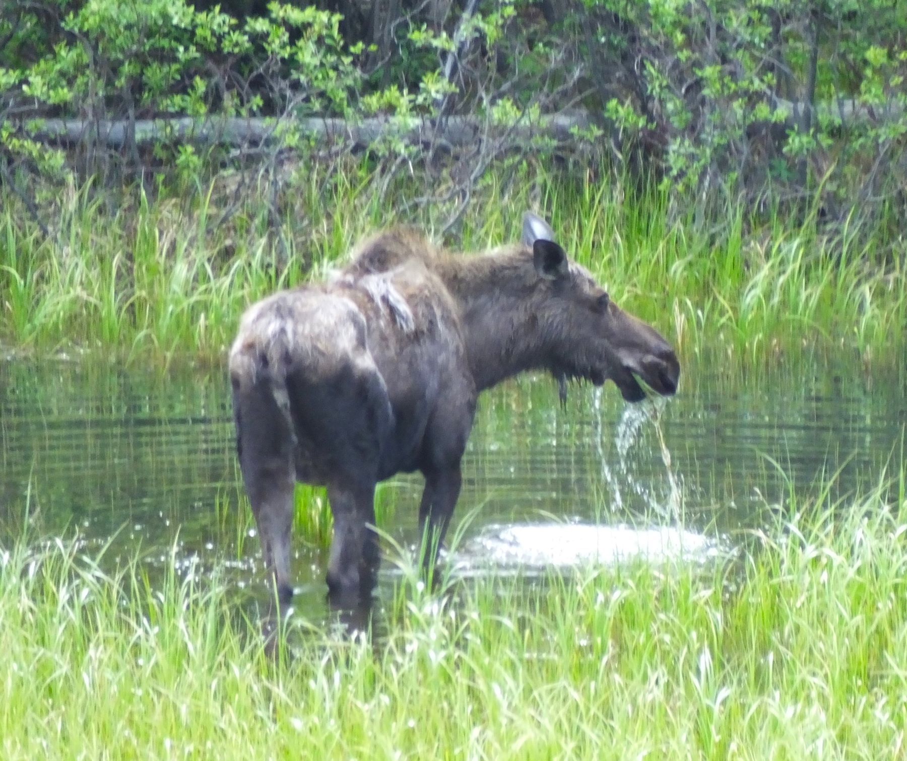
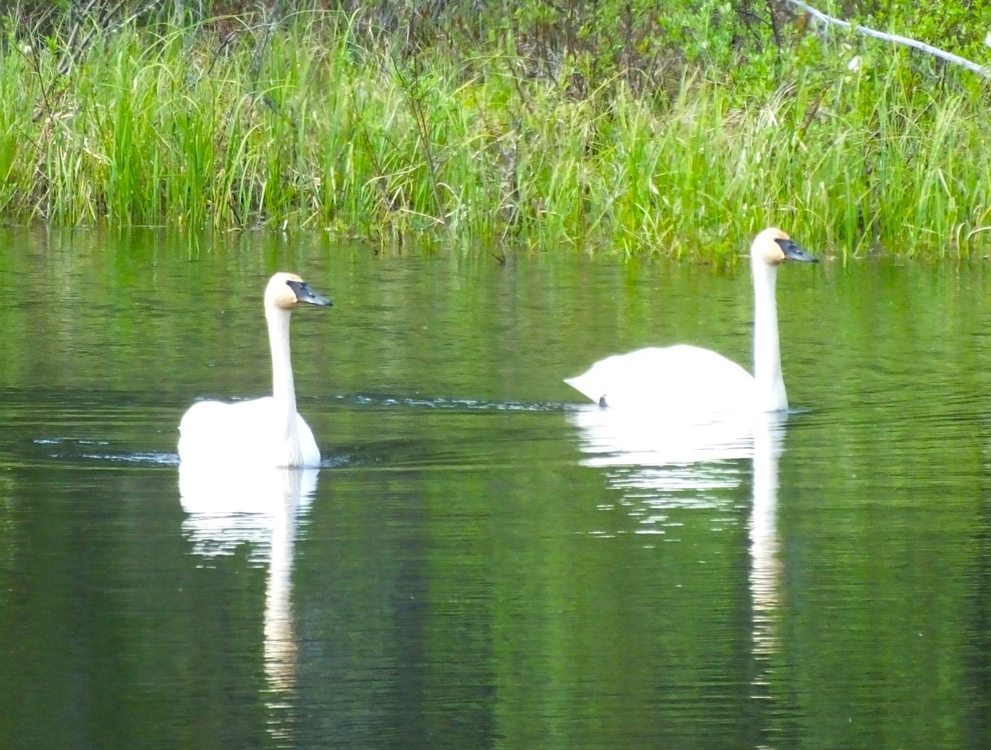
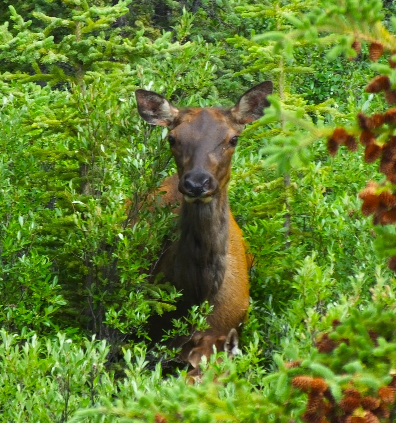
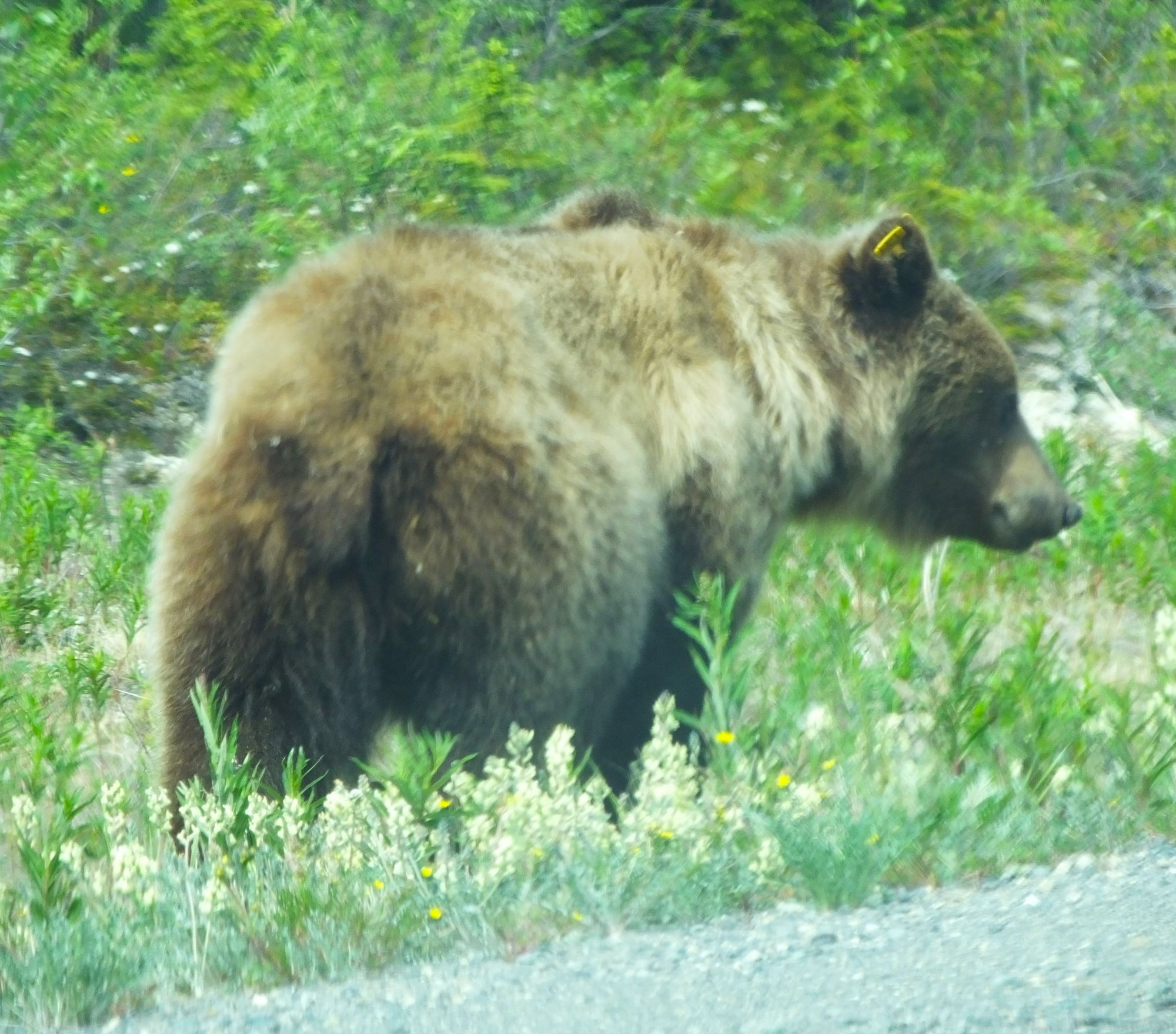
Critter Count
Swans – 9
Elk – 2
Grizzly Bears – 2
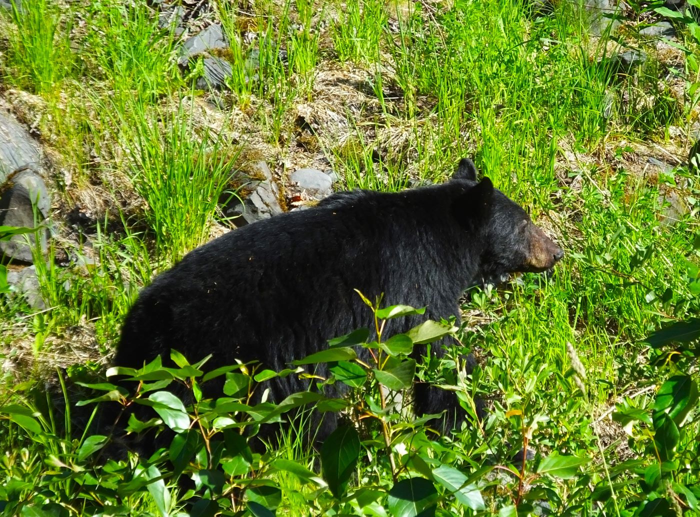
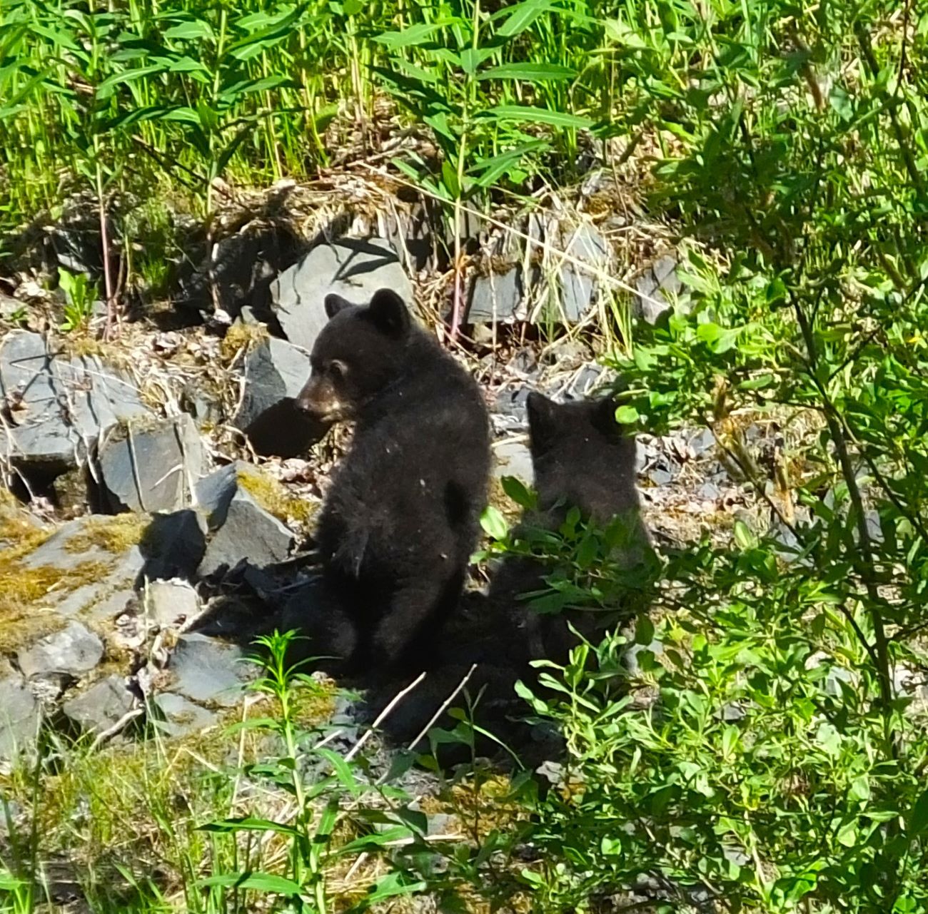
Black bear – 1
Moose – 1
Rabbits, ducks, jays, eagles – multiple
Mosquitoes – 171,213,667,123 (or more)
Next week:
Working through challenges in Alaska as we make our way to Fairbanks