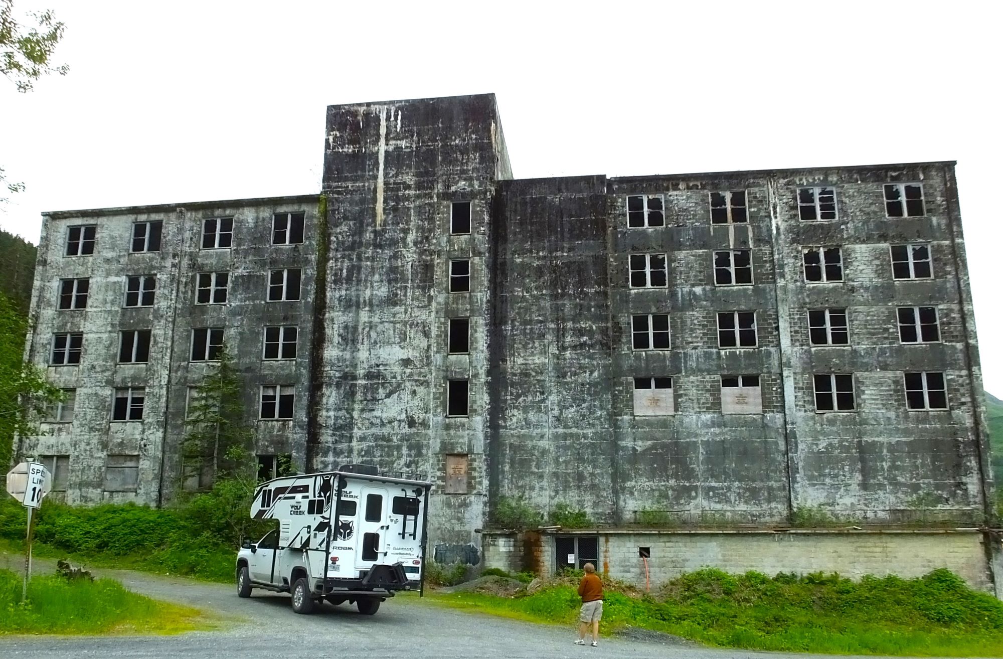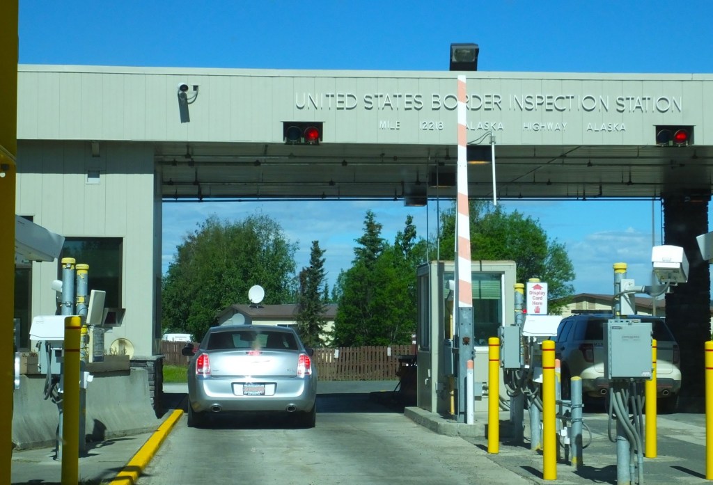
(2023 Alaska Revisited Ep 18)
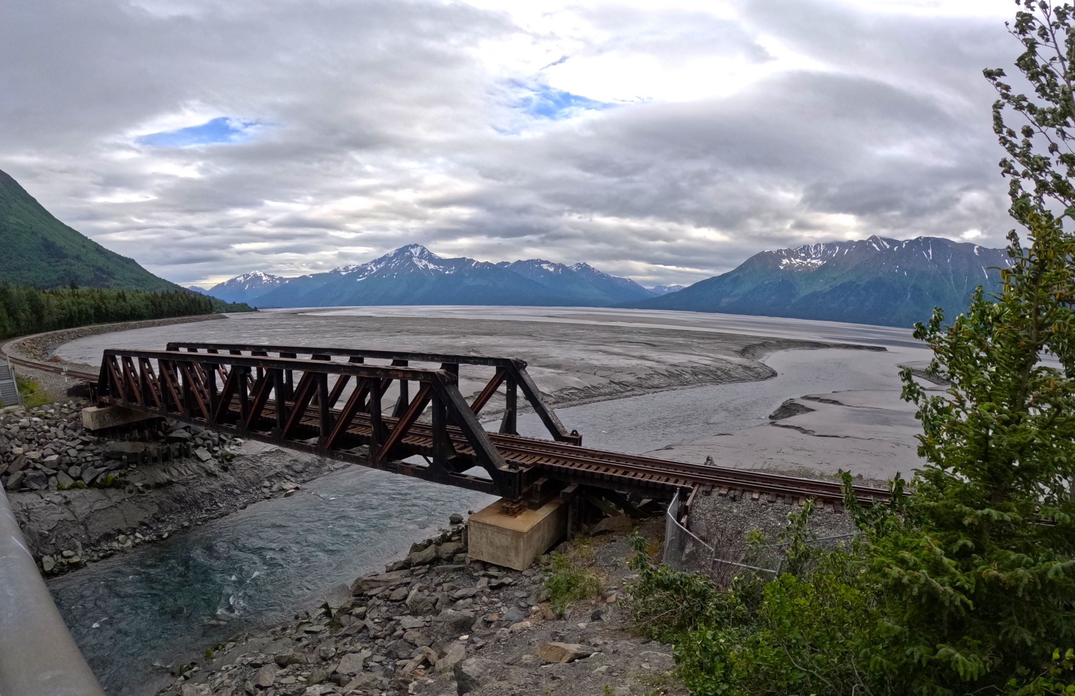
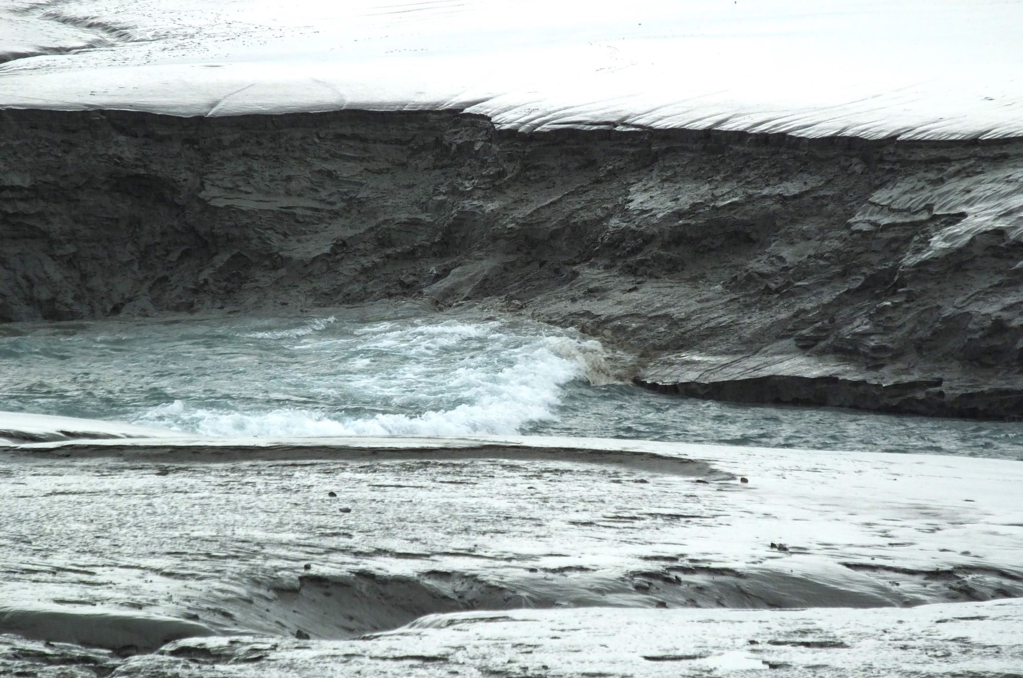
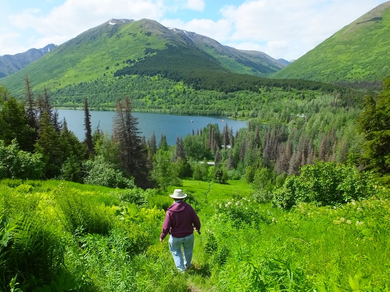
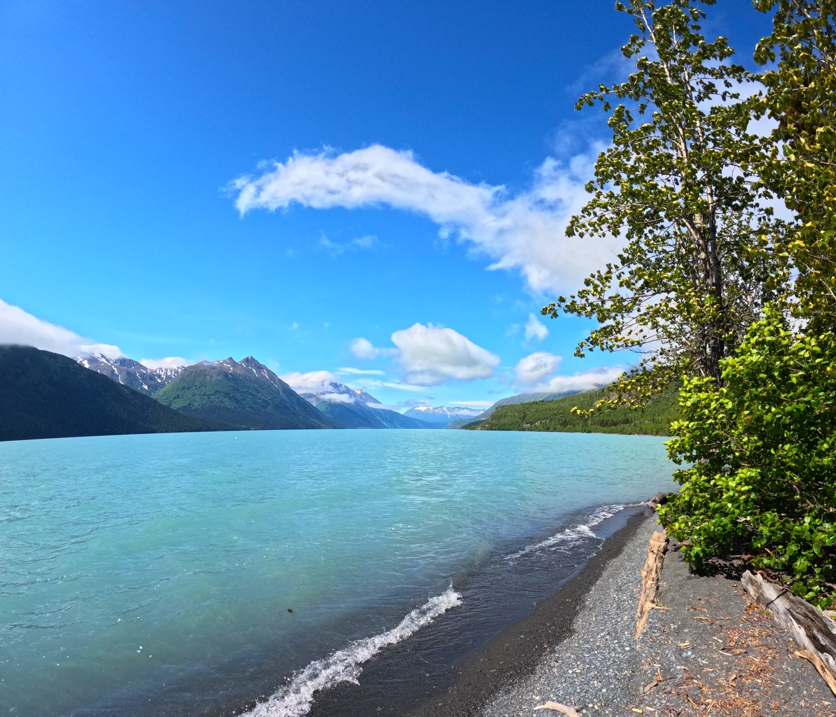
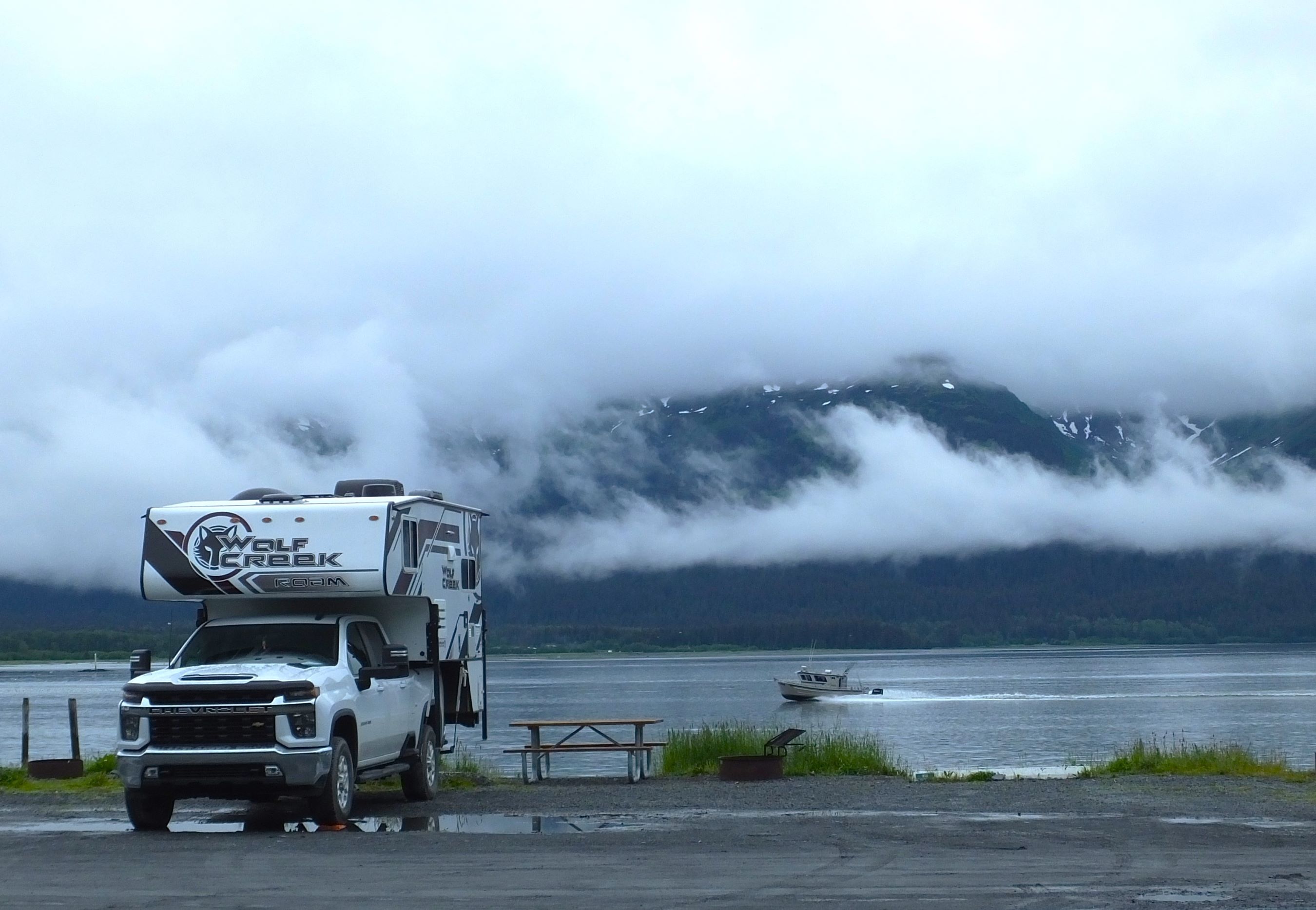
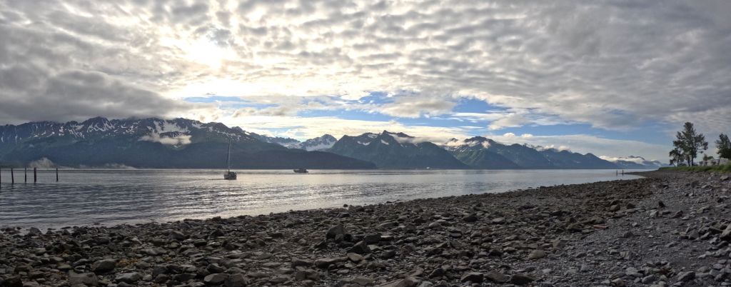
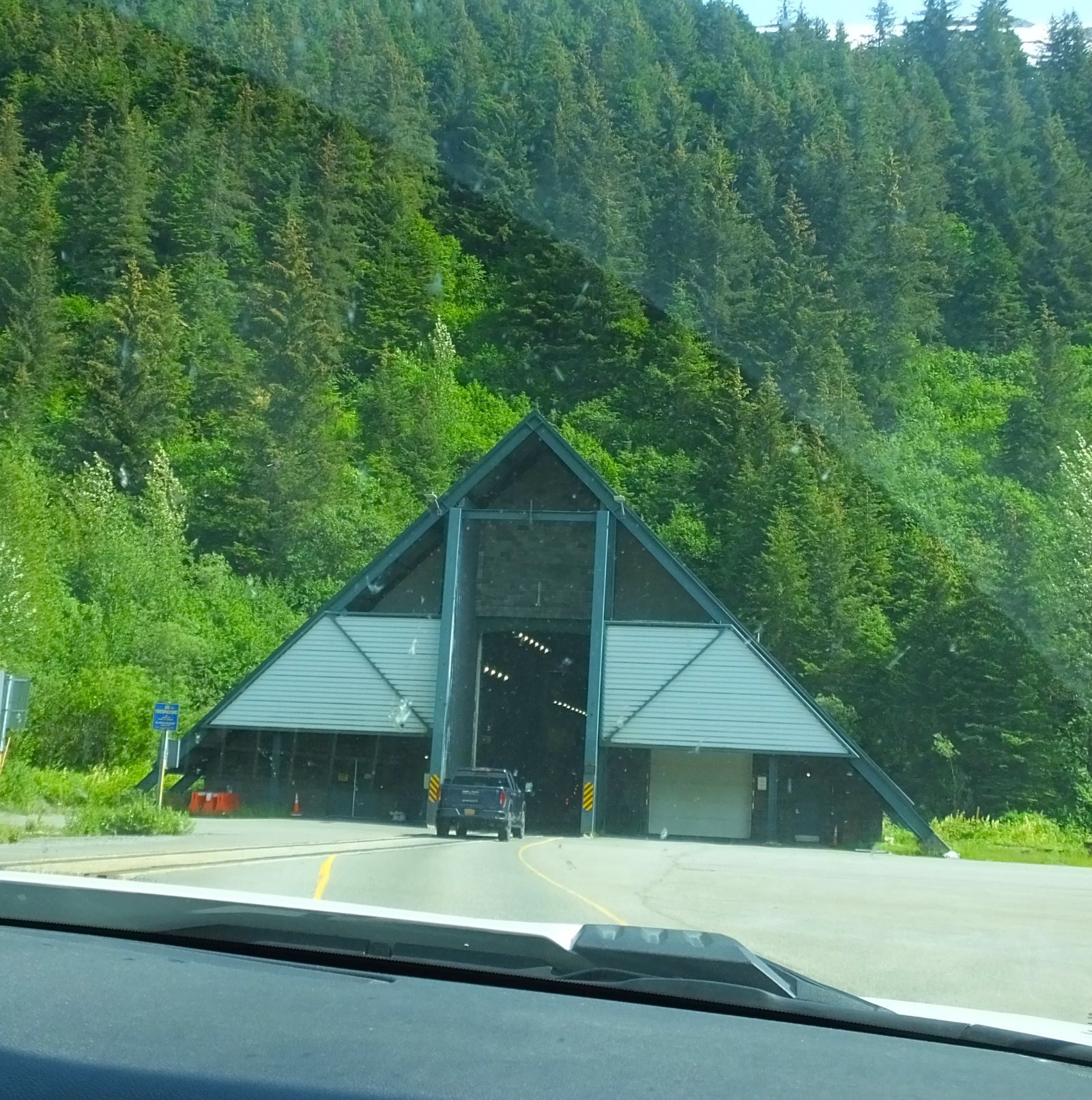
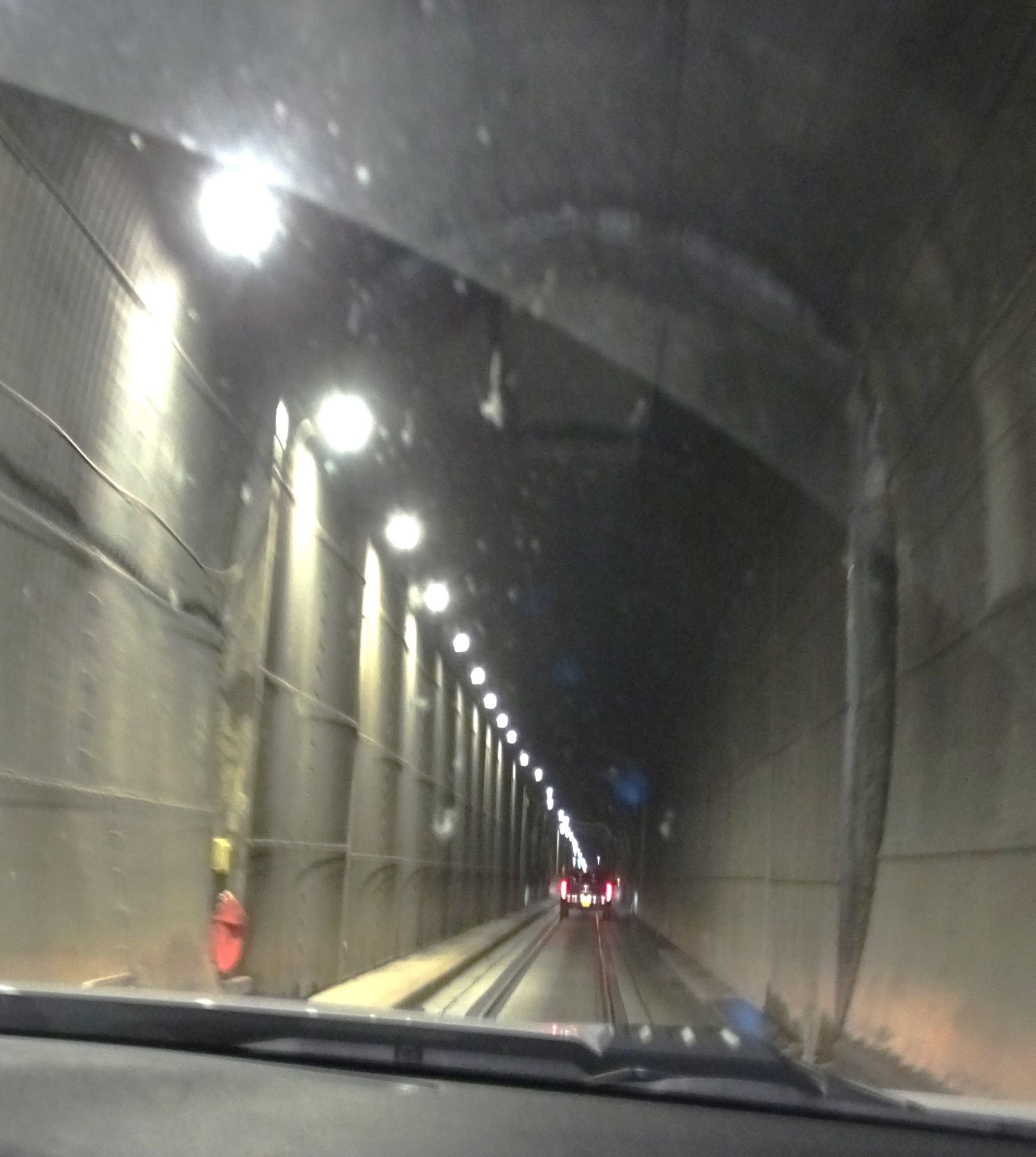
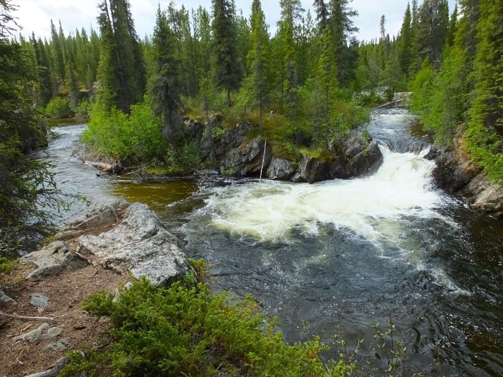
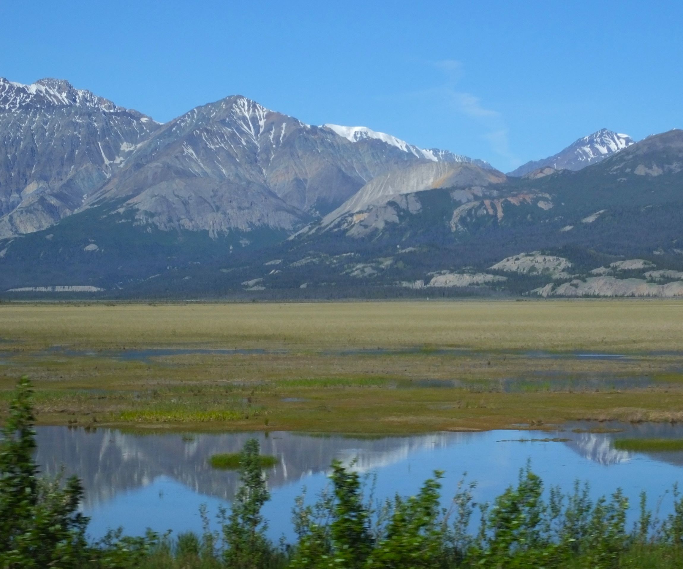
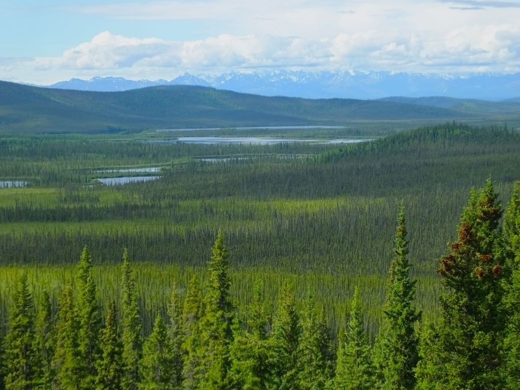
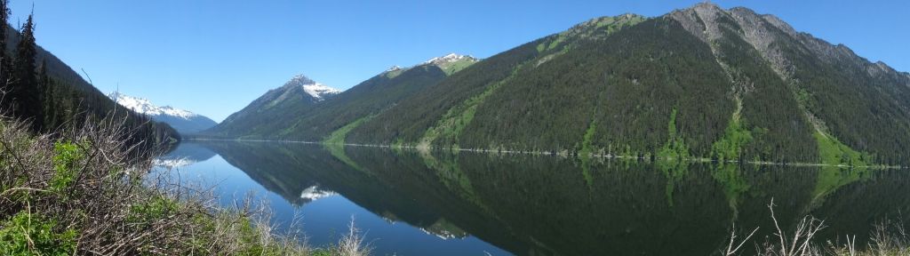
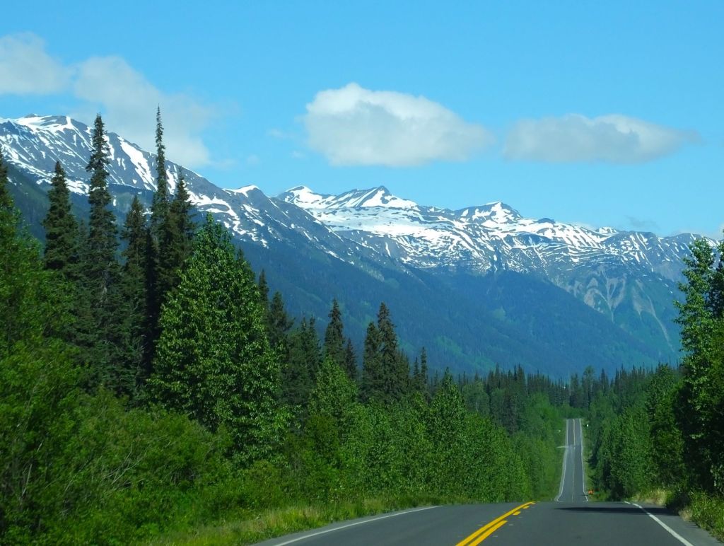
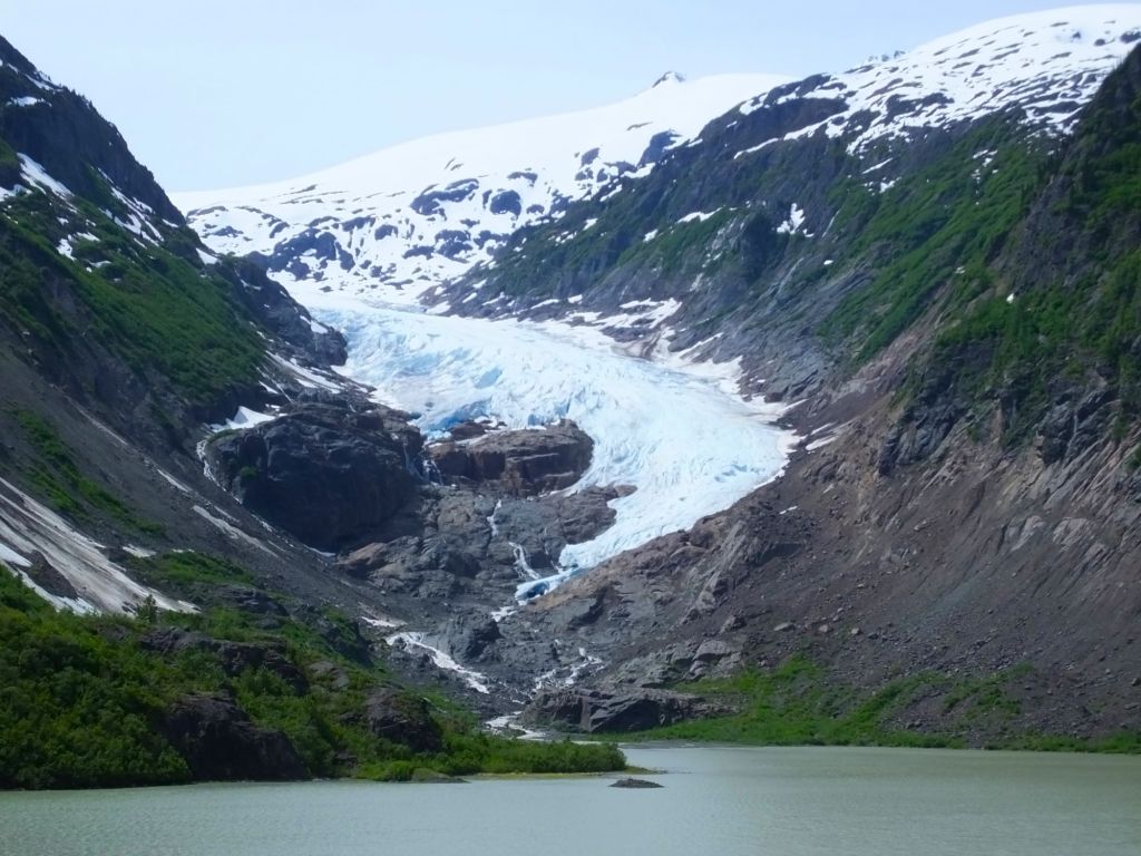
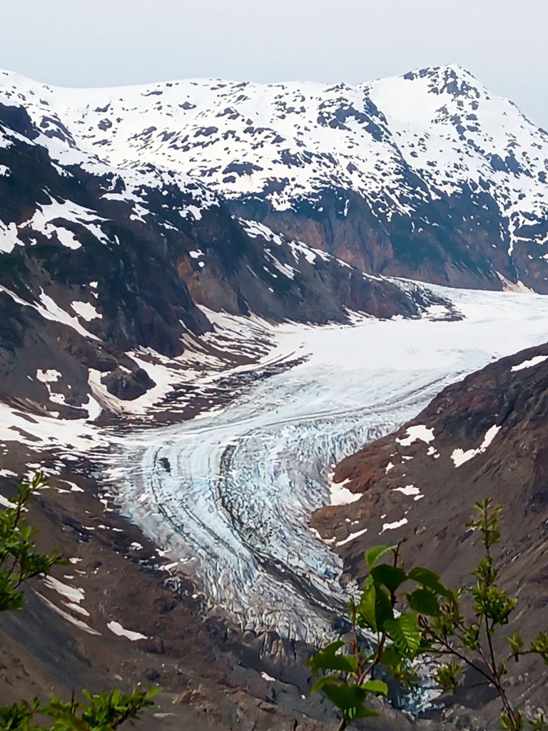
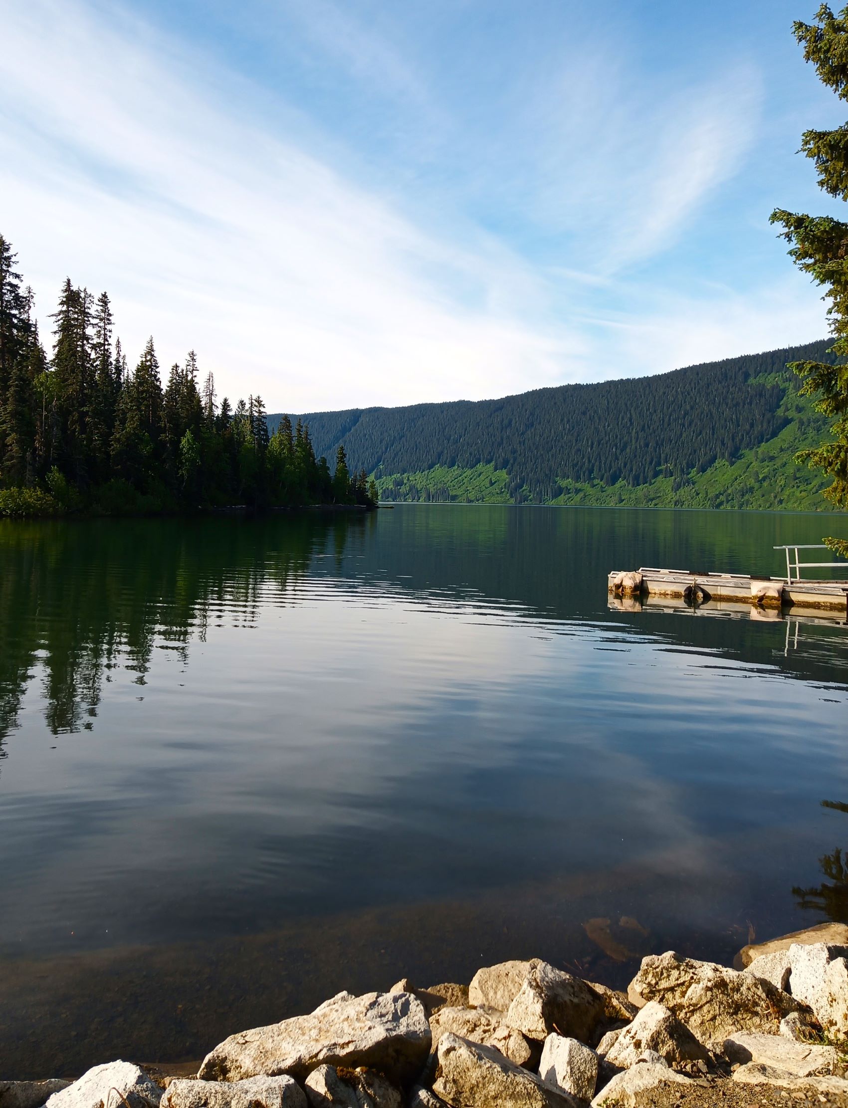
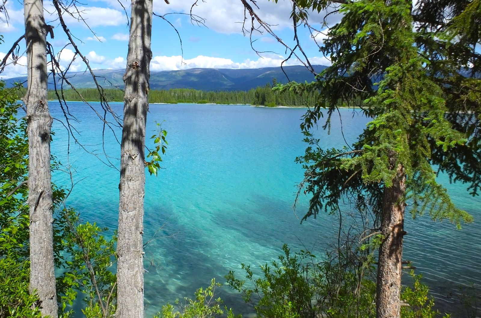
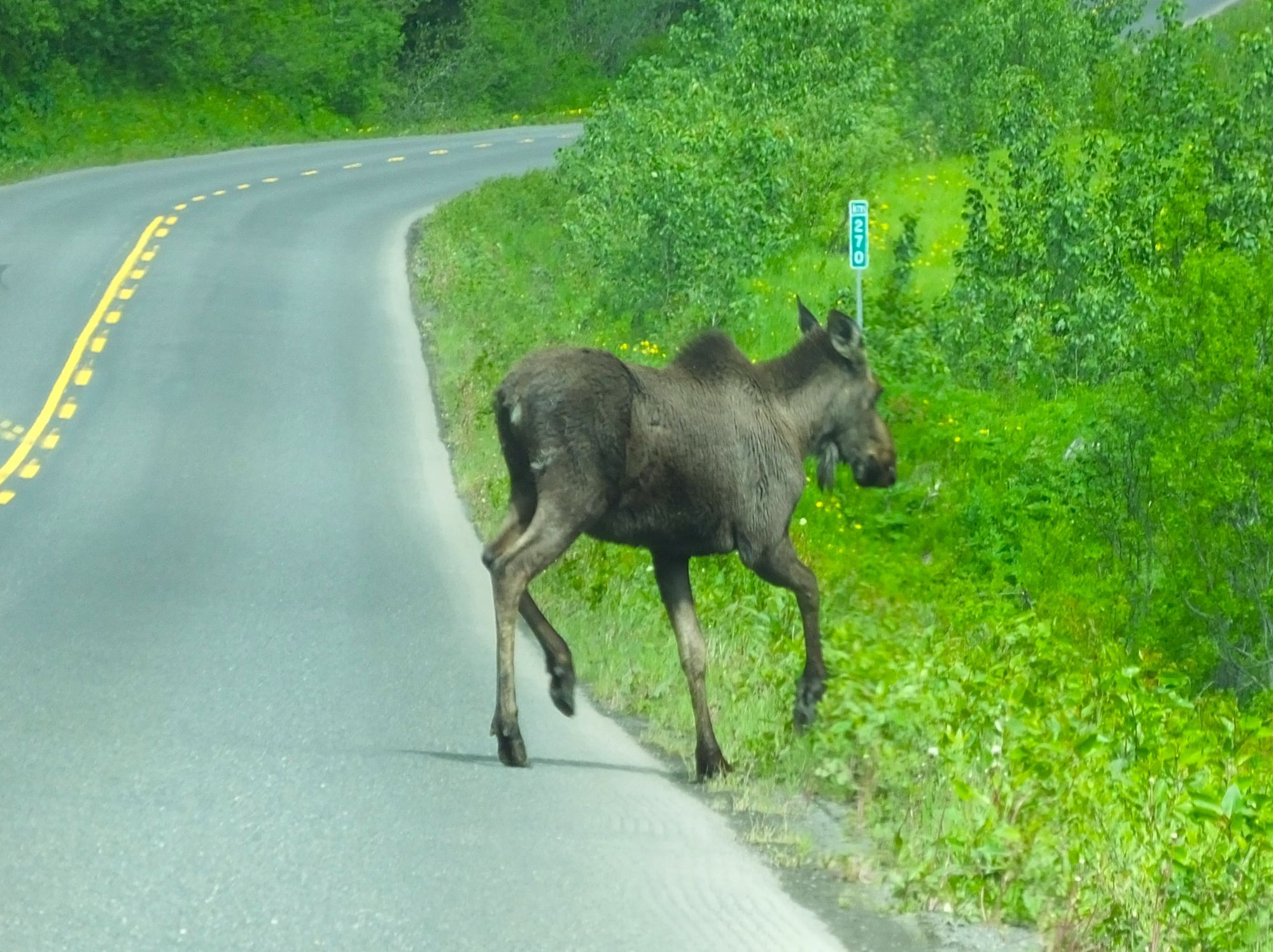
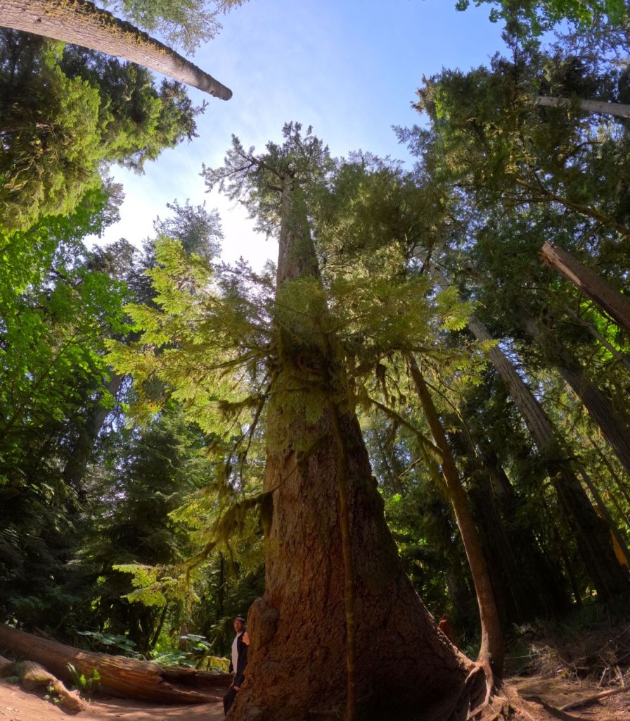
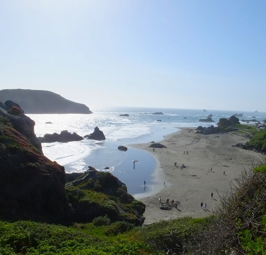
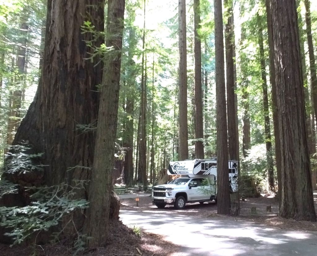
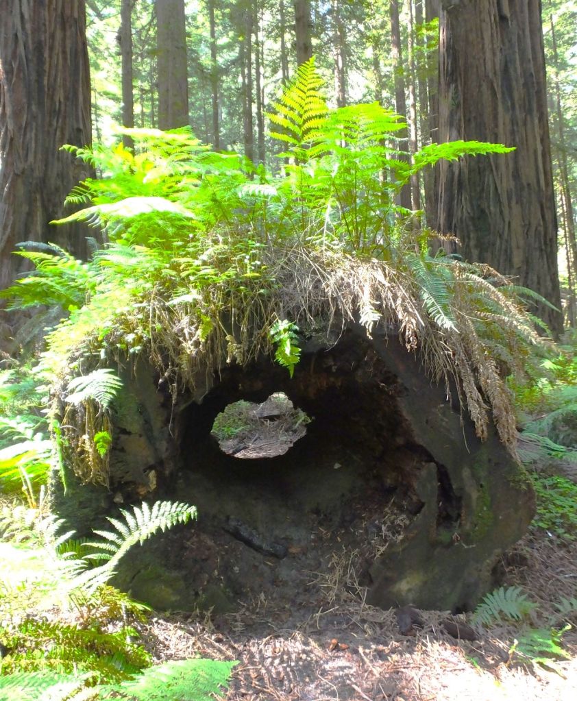
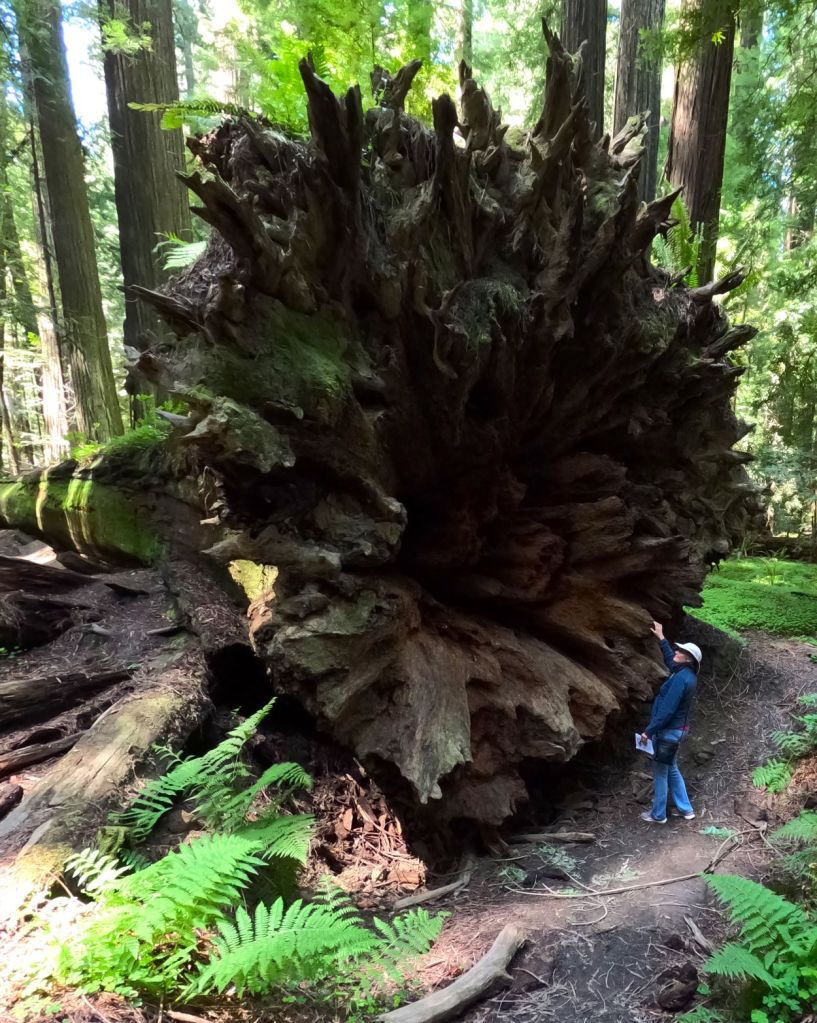
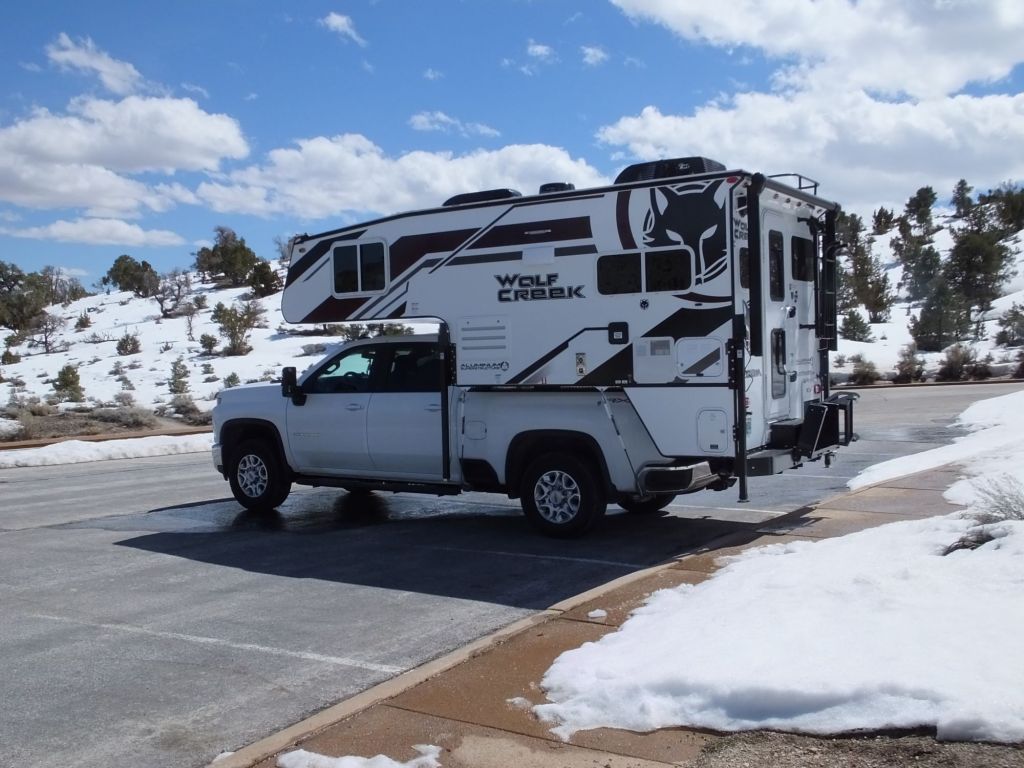
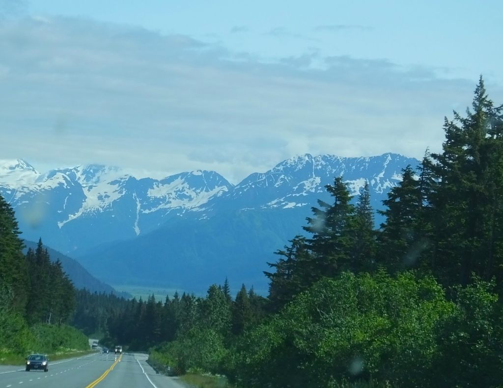
From Williwaw and Whittier, we drove 90 miles to the west side of the Kenai Peninsula. The route took us through lush, green valleys between rugged mountains that were topped with remains of winter snows, and along swift flowing rivers turquoise with glacial silt.
We learned what most everyone was up to in Soldotna and Kenai. It is best summarized by one obvious word.
It is obvious along the Kenai River, where aluminum walkways extend more than a mile along the river.
It is obvious in the large sporting goods departments in Walmart, Fred Meyer and other area stores.
It is obvious along the Russian River, one of the Kenai’s major tributaries.

It is obvious by all the traffic and vehicles carrying an assortment of equipment, and by campgrounds packed with tents and RVs.
The word? FISHING!
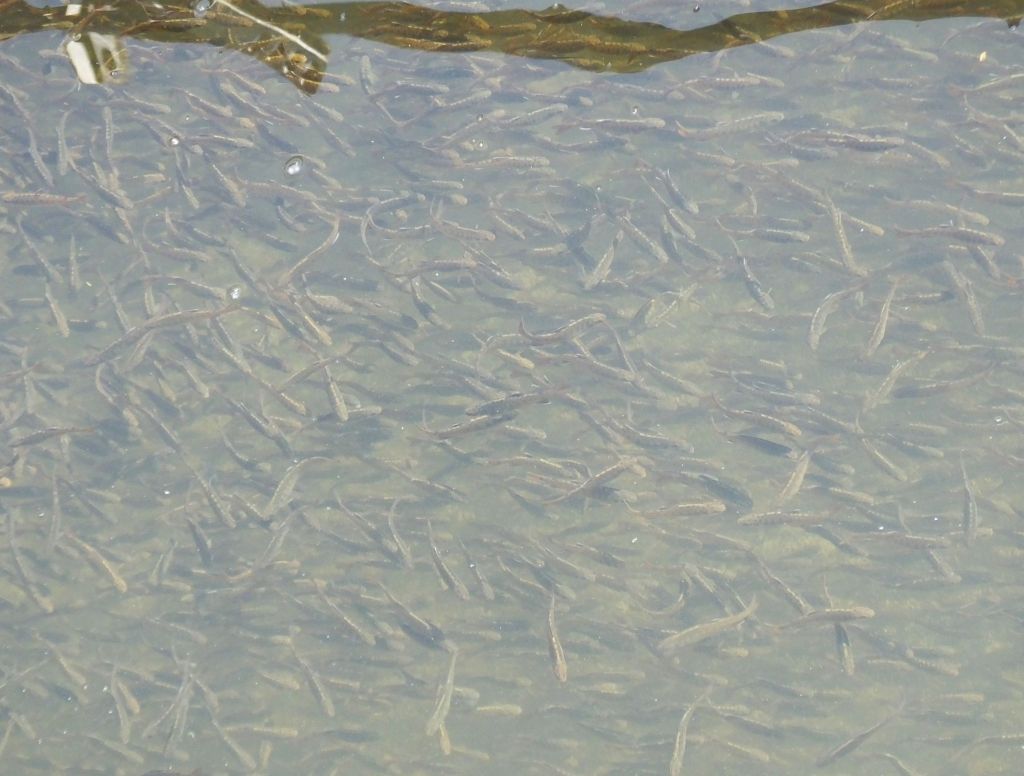
After a year or more at sea, huge numbers of salmon return each summer to the Kenai River and its tributaries to spawn before they die. Five types of Alaskan salmon arrive at different times, joining other fish, like steelhead and trout, already in the waterways.
Considerable efforts are spent catching all those fish!
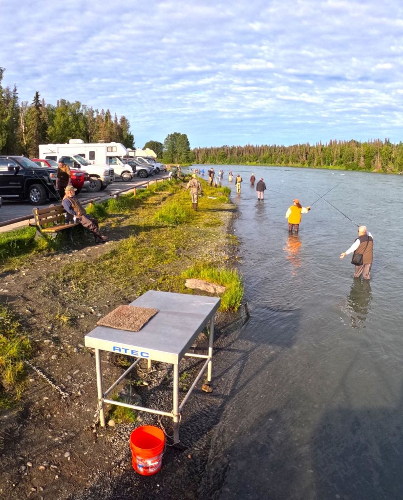
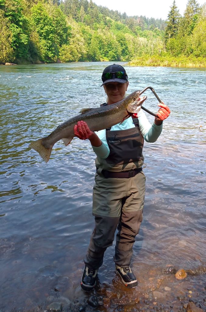
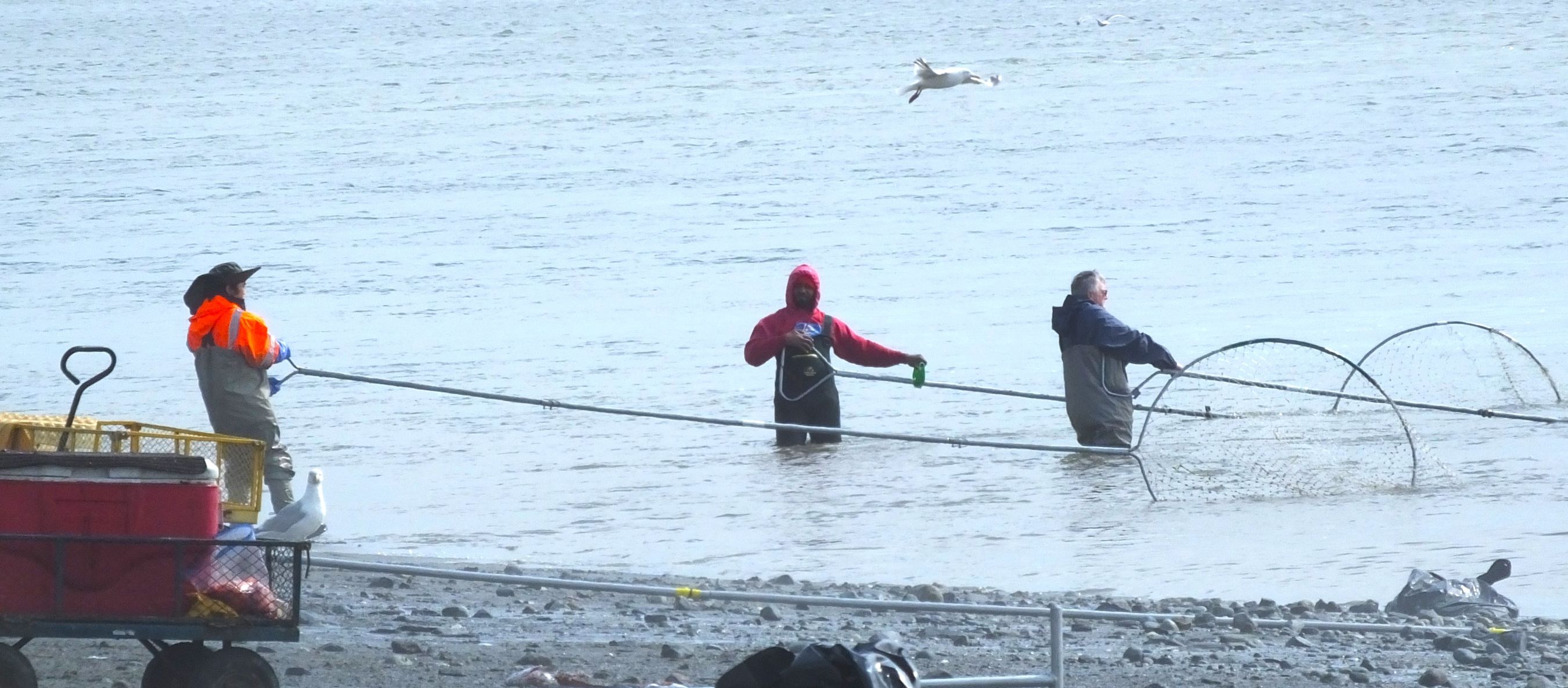
Combat Fishing on the Kenai
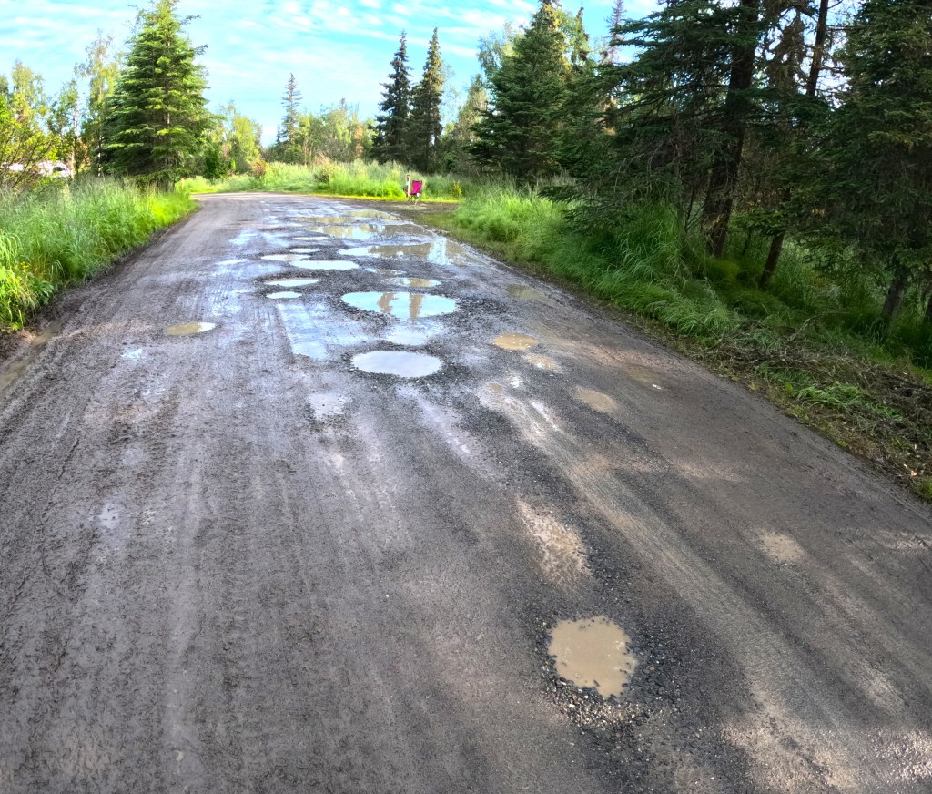
In Soldotna, we followed a boardwalk from the packed city campground to the Kenai River. It had rained the previous day, the roads had huge potholes and the mosquitoes were hungry!
Along the water’s edge fishermen (and fisherwomen) cast into the swift flowing river, some using fiberglass rods with open-faced reels and others using fly rods. They reeled in their lines attempting to ‘catch’ salmon by snagging the fish in their mouths. Those snagged in a fin or elsewhere had to be thrown back.
With fishermen often less than 10 feet apart, crossed lines and tangles were inevitable. Some waded into the river while others fished from the aluminum walkways. Fish were cleaned and fileted on large metal tables along the river and waste parts were thrown back into the river.
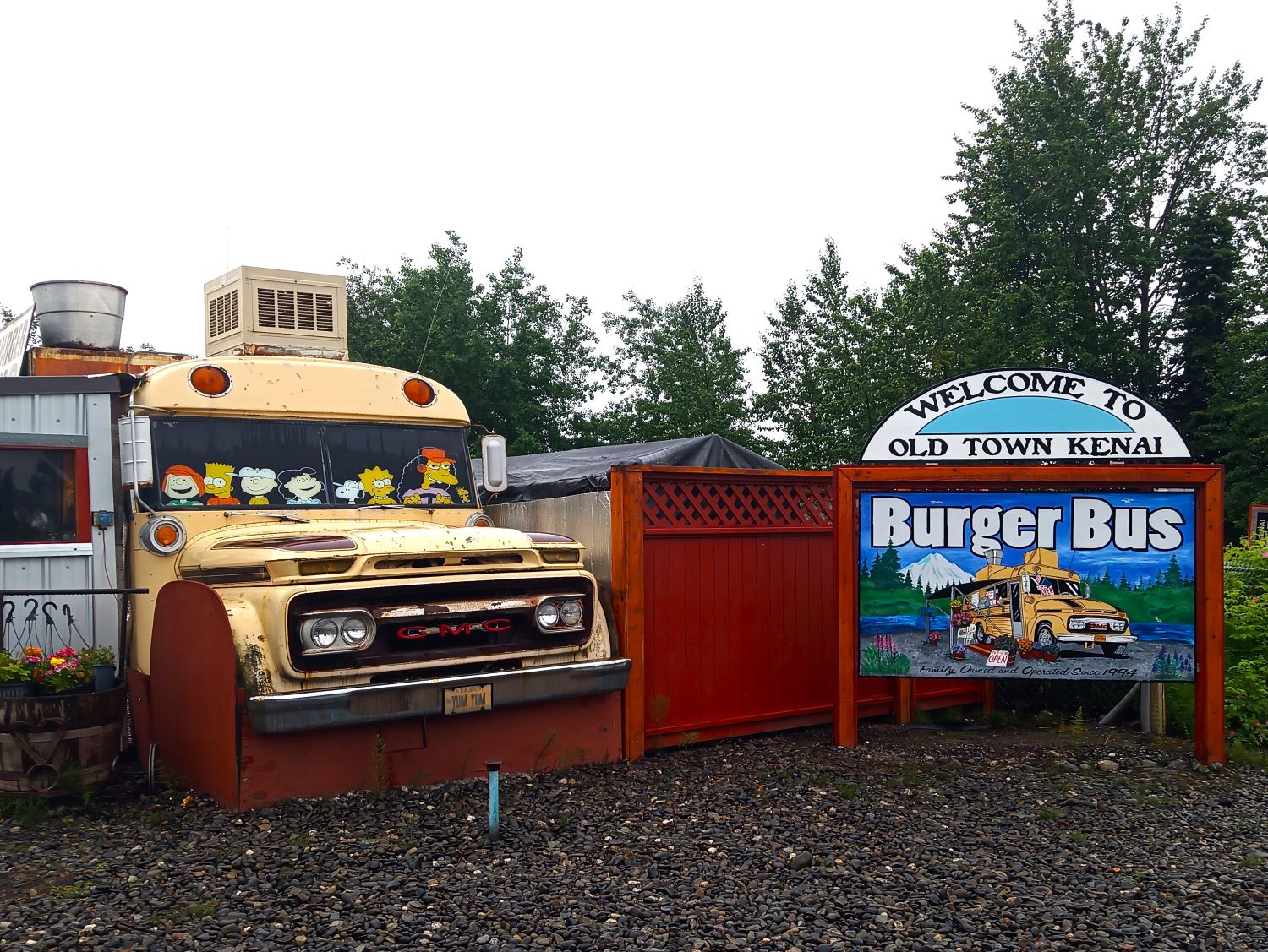
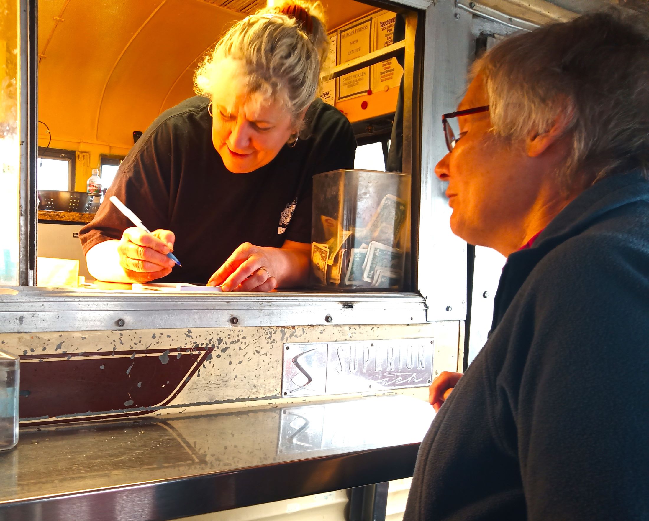
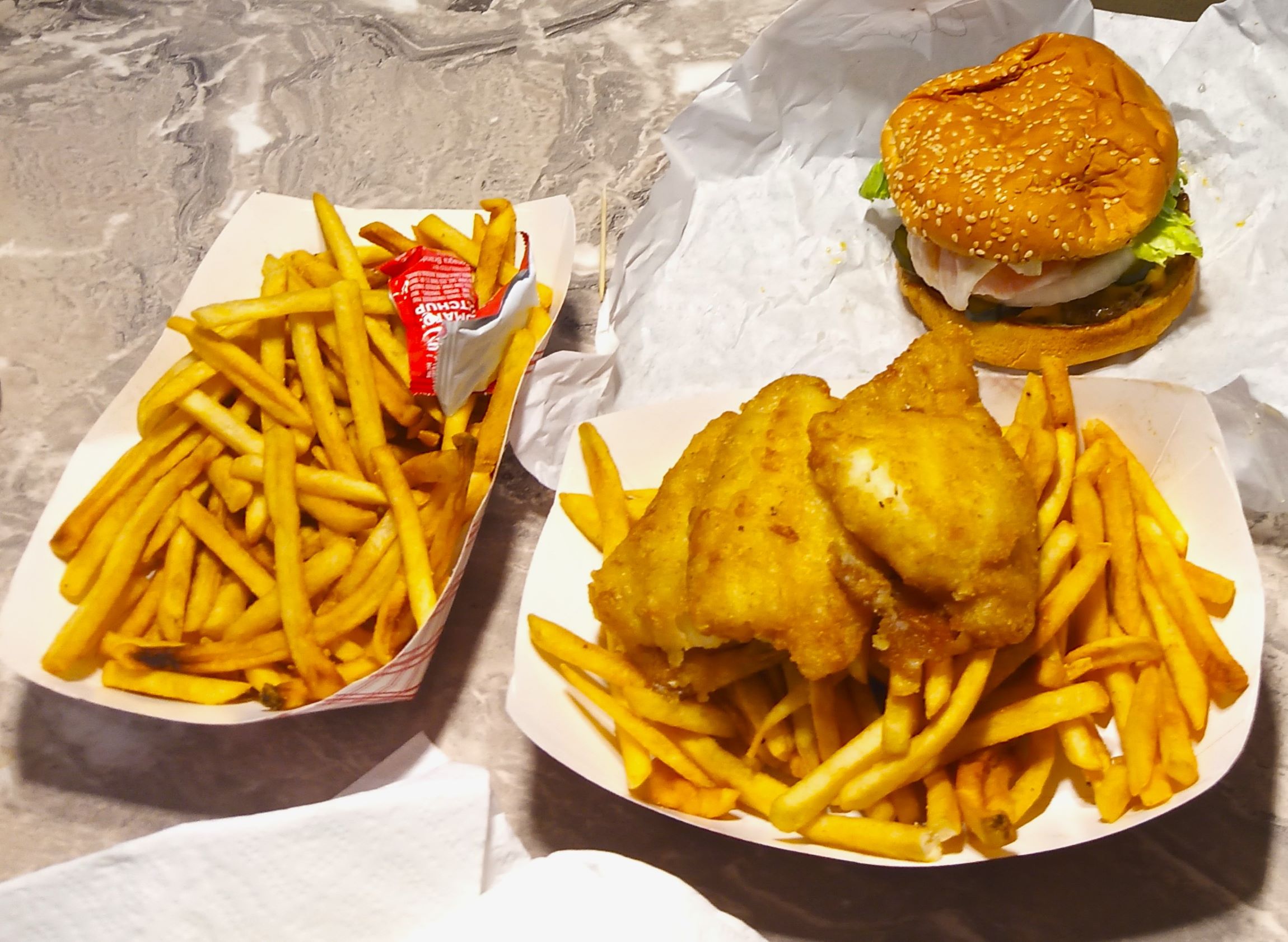
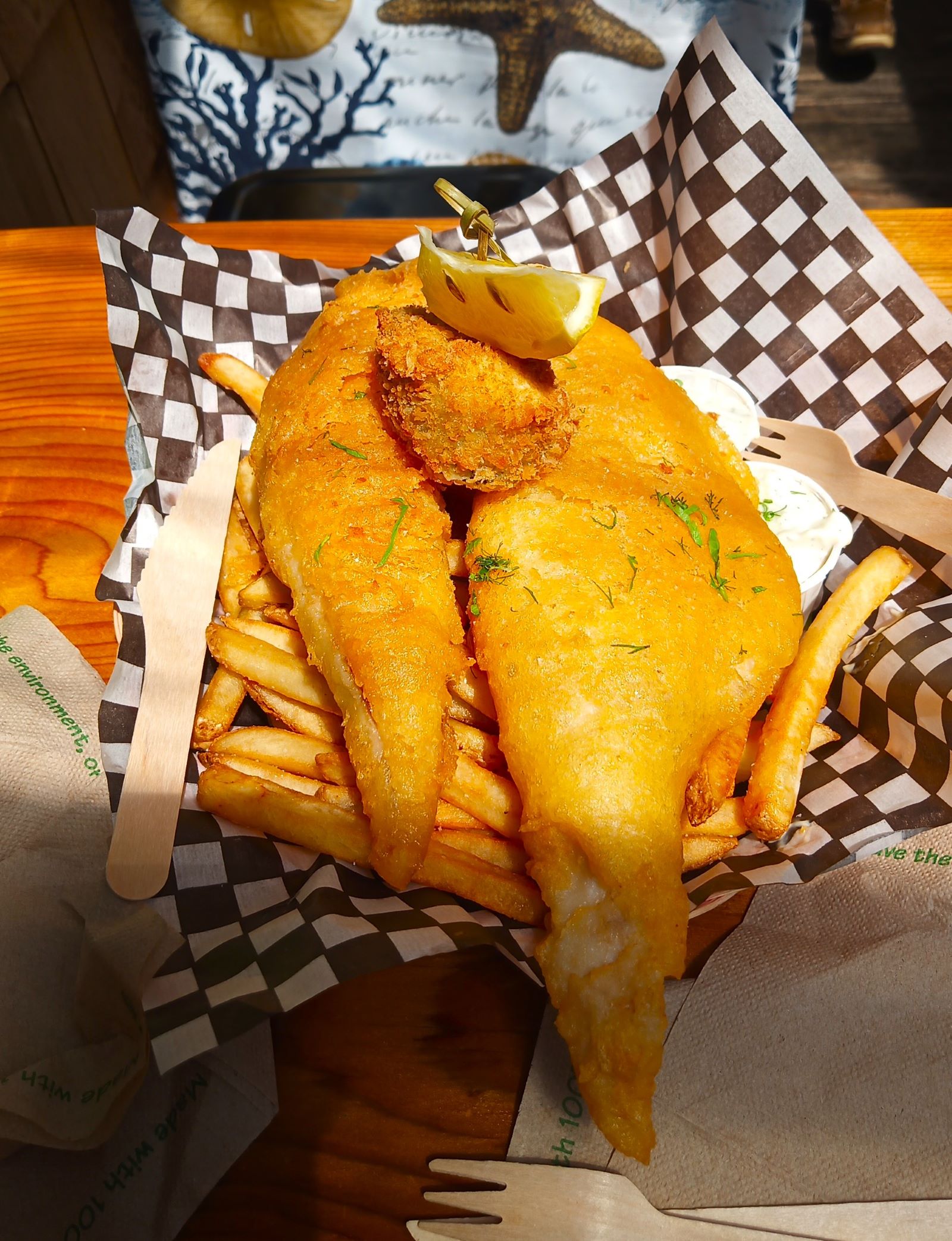
Kenai’s Burger Bus; Pat places her order and our lunchtime feast!
Burger Bus
All that fishing made us hungry, so we decided to have lunch at the Burger Bus in Kenai. One of our favorite lunch stops from our trip in 2018, burgers, sandwiches and other items are cooked in a converted school bus and eaten on picnic tables outside. It was cold and rainy so we decided to eat inside Pap. Pat ordered a bus burger with cheese. My order? Fish and chips, of course!
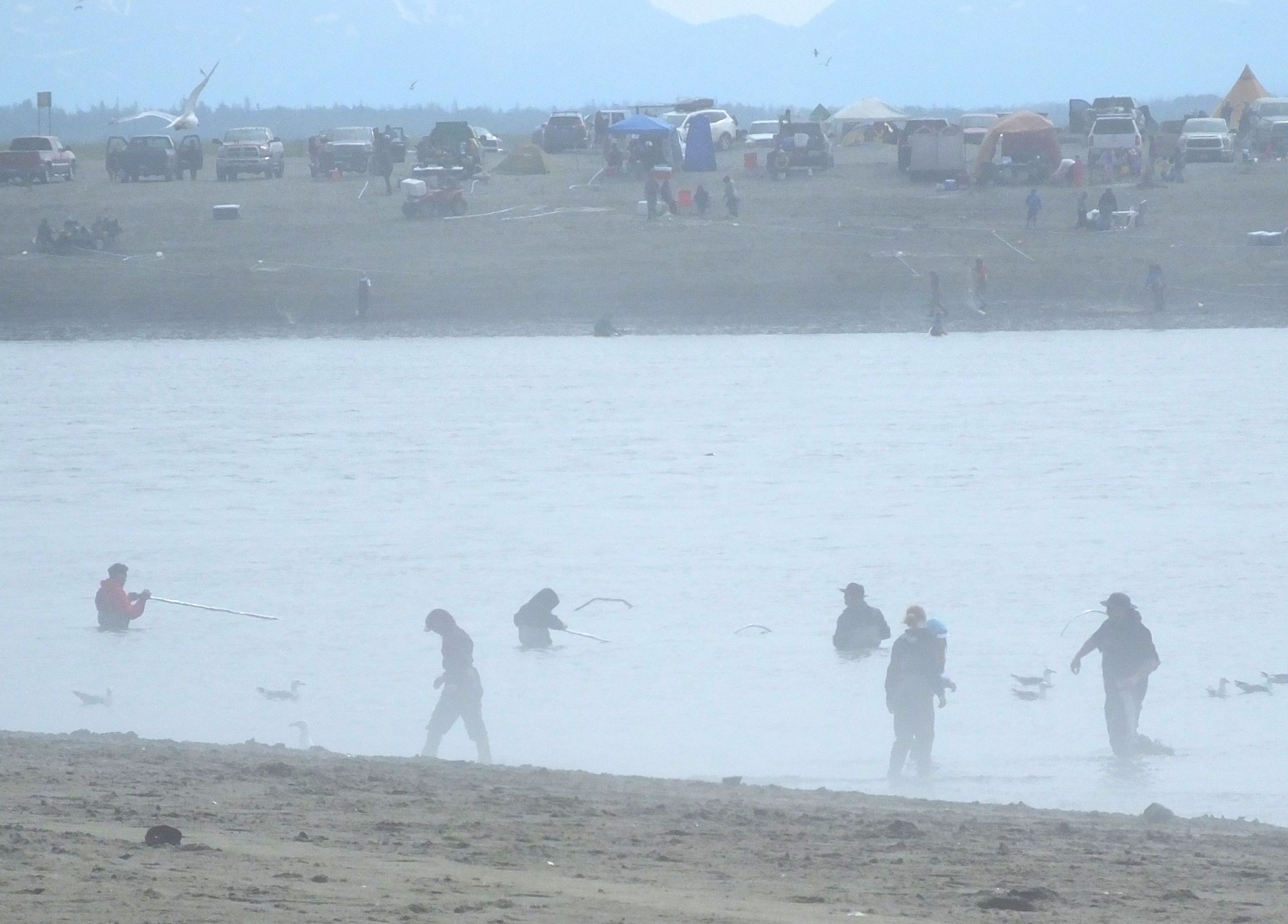
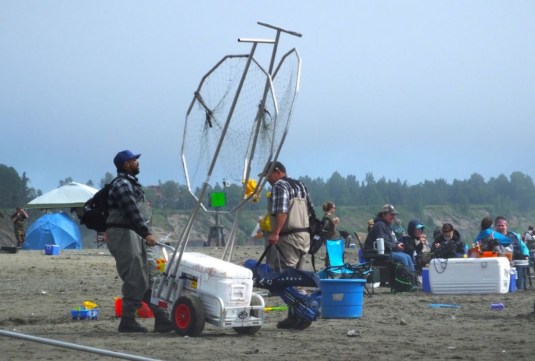
Dip-netting at the mouth of the Kenai River
Dip-netting
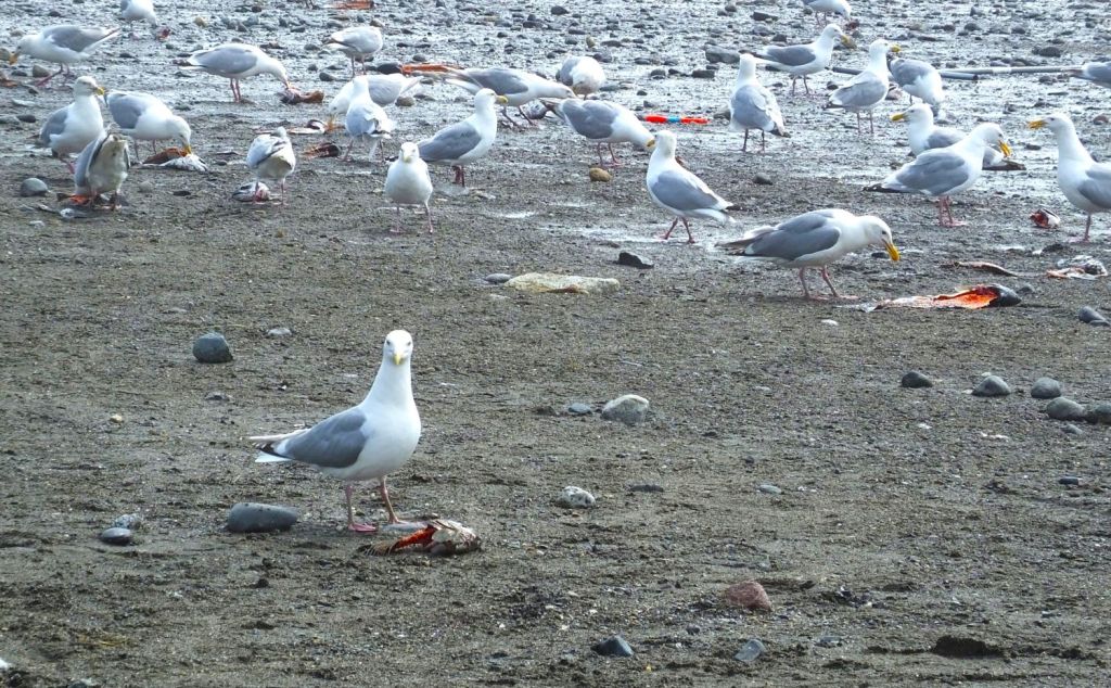
Later, we visited the mouth of the Kenai River where hundreds of people were camped on both sides of the river. They waded into the river, extending 10+ foot long poles with netted aluminum hoops at the ends into the water. Salmon caught in the 4 to 5-foot diameter dip-nets were quickly dragged onto the beach.

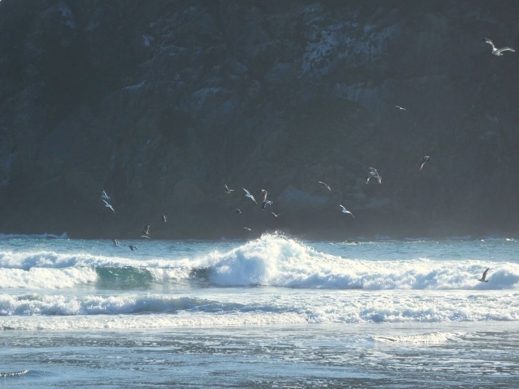
We watched as one woman carried a 24-inch salmon to a friend. The fish was quickly ‘processed’ and placed in a cooler. Fish remains were collected in a bucket and returned to the water. Hundreds of nearby seagulls were having a feast.
Kenai dip-netting only lasts a few weeks each summer as salmon start their trip upstream. Such fishing is open only to Alaska citizens with limits on the numbers of fish that can be caught. We learned the fish are an important source of protein during the long Alaskan winter.
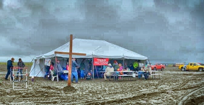
A Different Kind of Fishing
A short distance up the beach, Alaska Missions and Retreats was giving away free hot dogs and water. The strategy of this local ministry is to break down walls so people can turn from apathy to curiosity about Christ and find HIM irresistible. We met two young volunteers from Hawaii and Texas helping with the ministry’s Salmon Frenzy outreach.
They were engaged in a different kind of fishing.
Tsunami Warning!
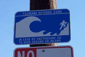
One evening while camping near Kenai we were almost asleep when a loud emergency alert sounded on my phone. The alert was like lost person alerts you might have received.
I found my phone and the message abruptly woke me up. It was a tsunami warning. A magnitude 7.2 earthquake had occurred several minutes earlier about 70 miles south of Sand Point, AK and evacuation was advised from low lying areas along the Cook Inlet.
Questions raced through my mind: Where is Sand Point? (it is on a Aleutian island, about 650 miles from Kenai) Were we in an area that should evacuate? (no, we were more than a mile inland) Assured that we would not have to sleep with life jackets, we eventually went to sleep.
We were thankful a tsunami did not strike the coast.

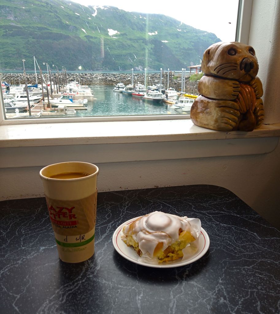
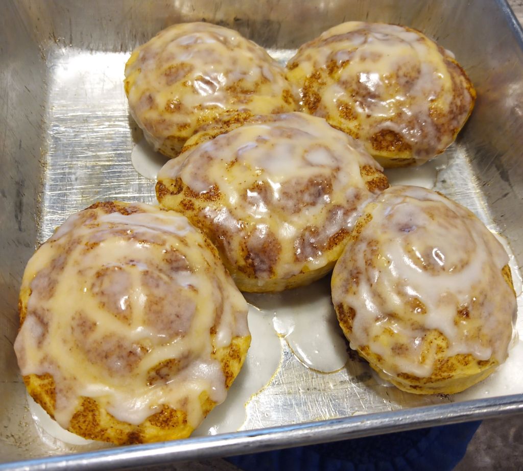
Cinnamon Bun Review
When we couldn’t find a suitable coffee shop in Soldotna or Kenai, we made our own cinnamon buns. Pat baked a batch of Pillsbury Cinnamon Rolls. The freshly baked buns were basically canned biscuits with small pieces of cinnamon on top. The icing was pretty good, however. Bun score: 2.5 out of 5.

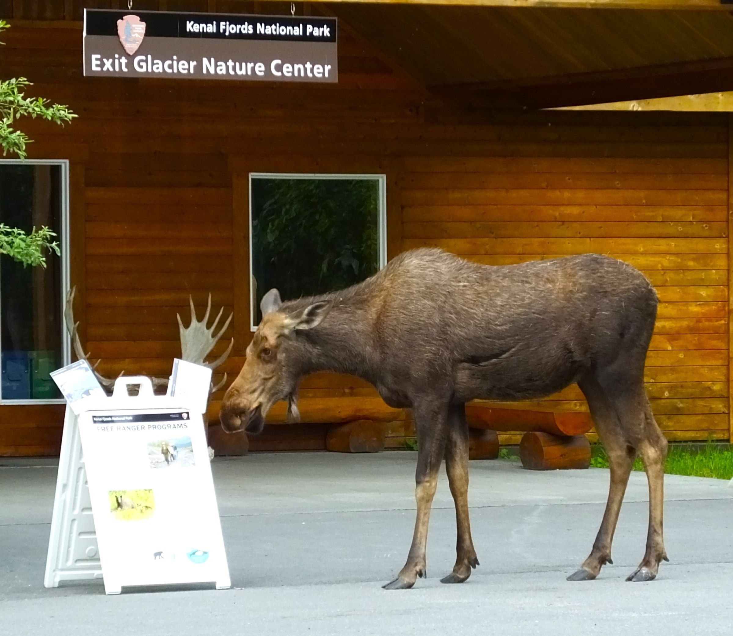
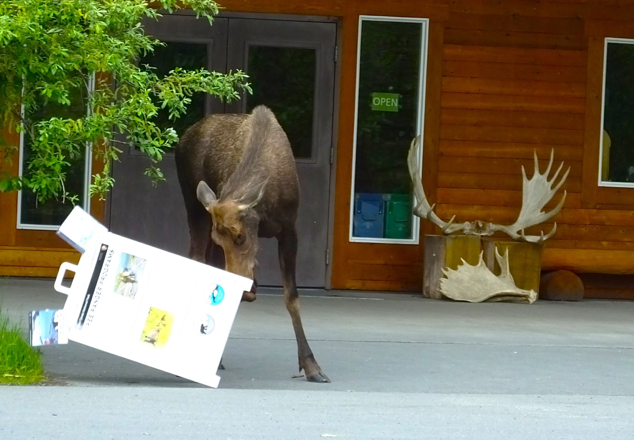
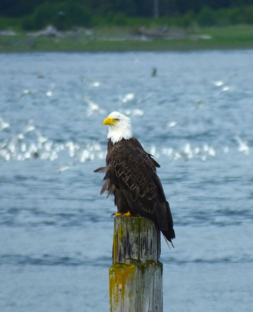
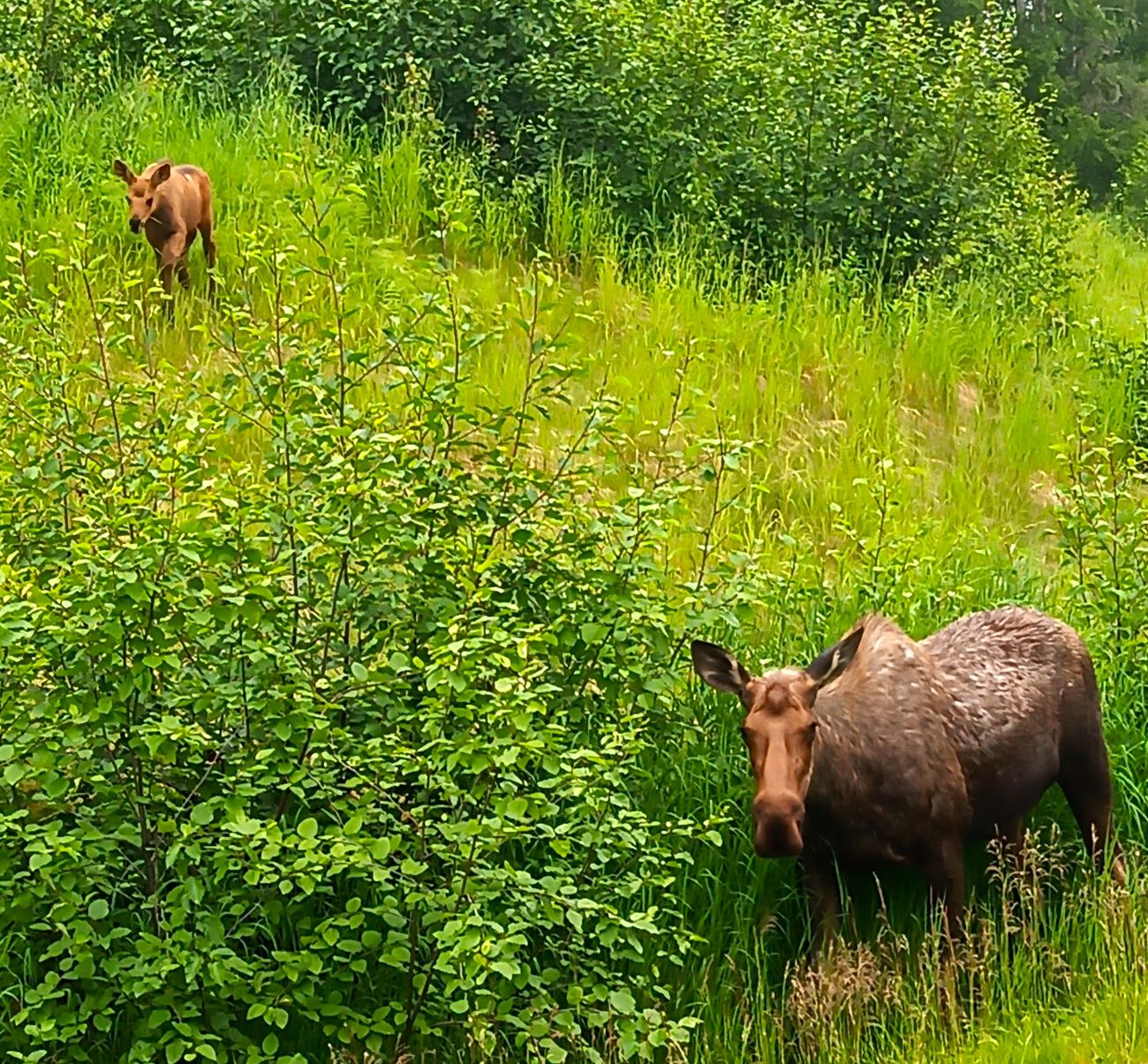
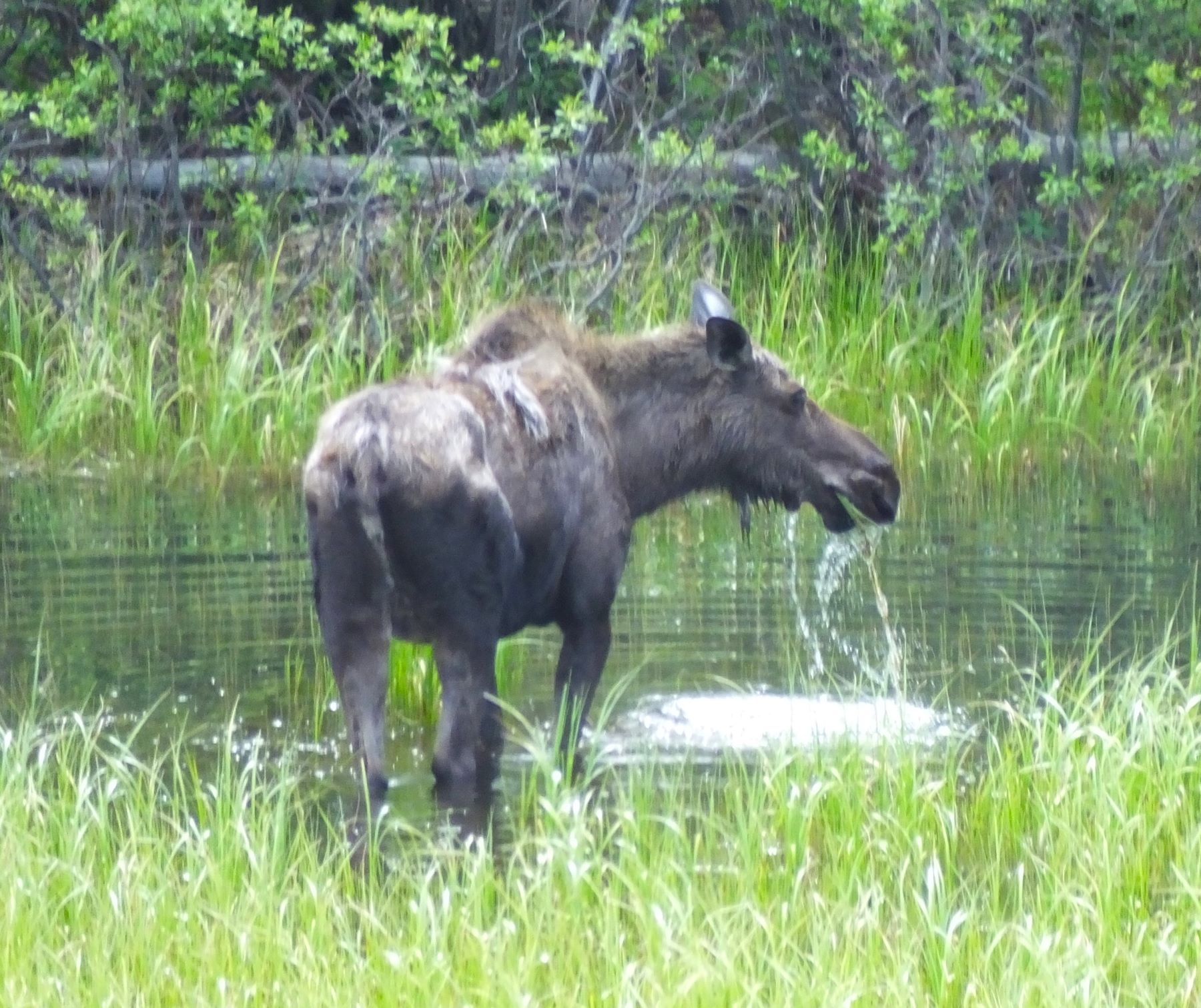
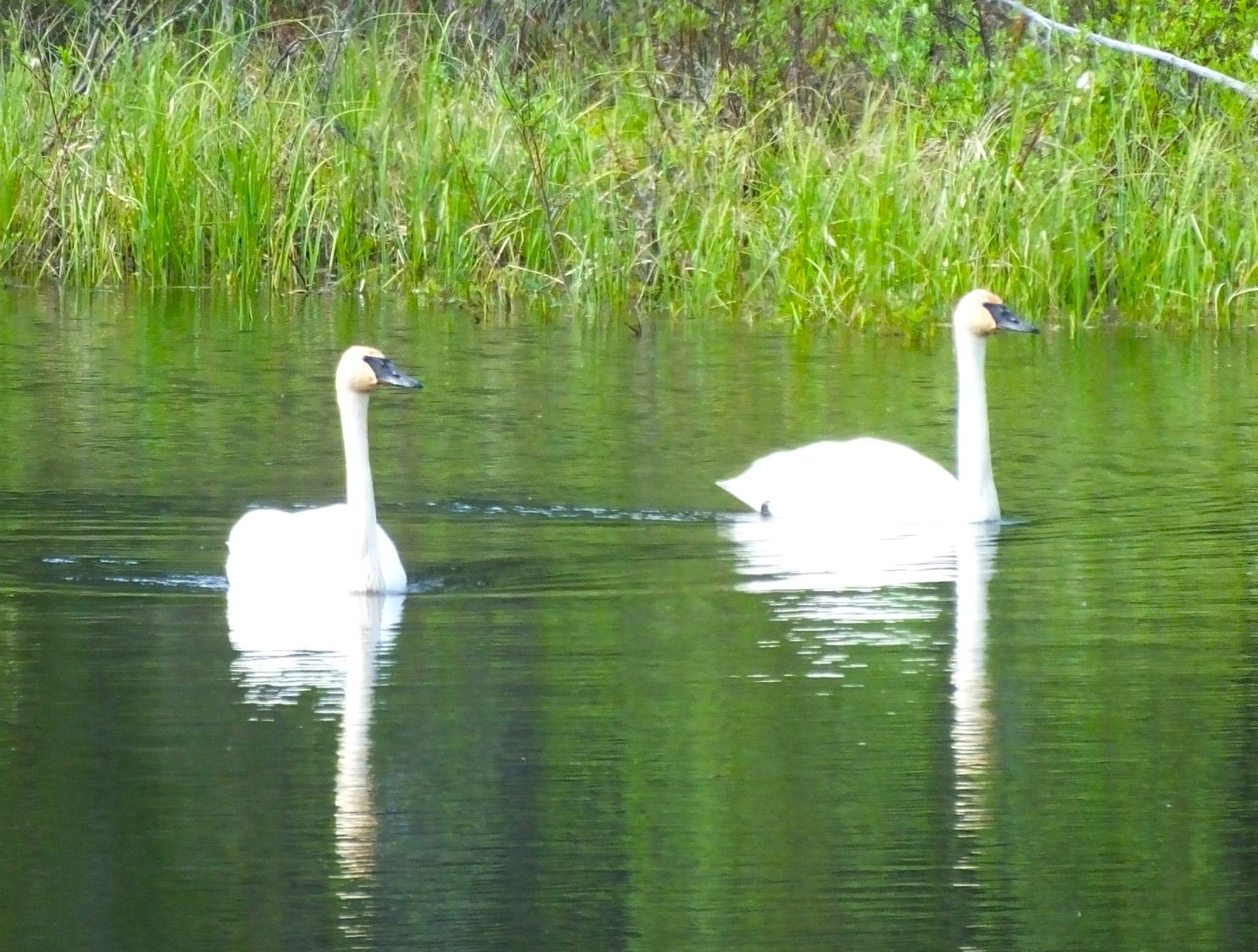
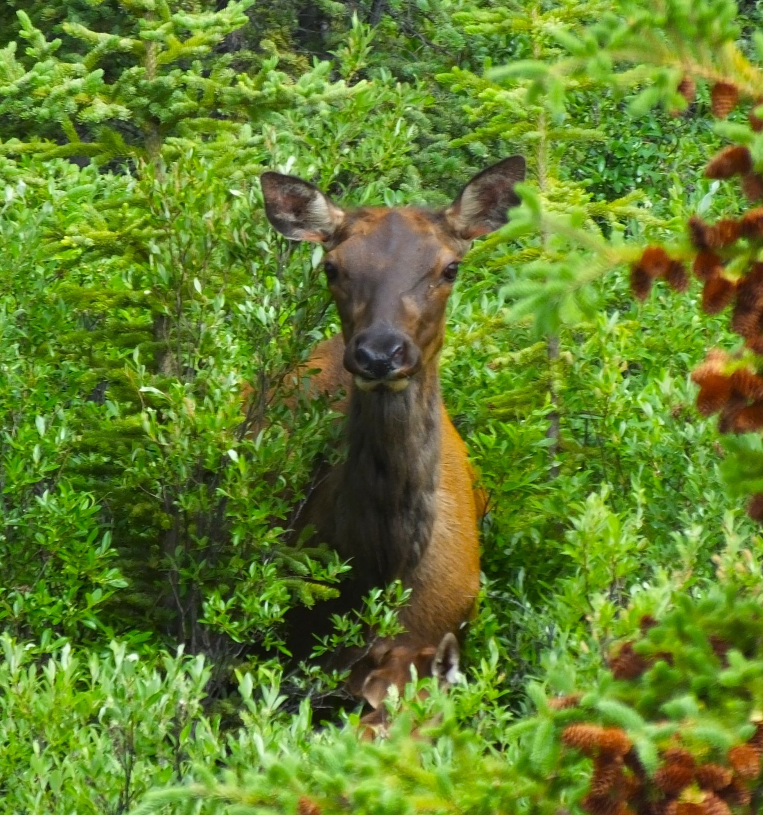
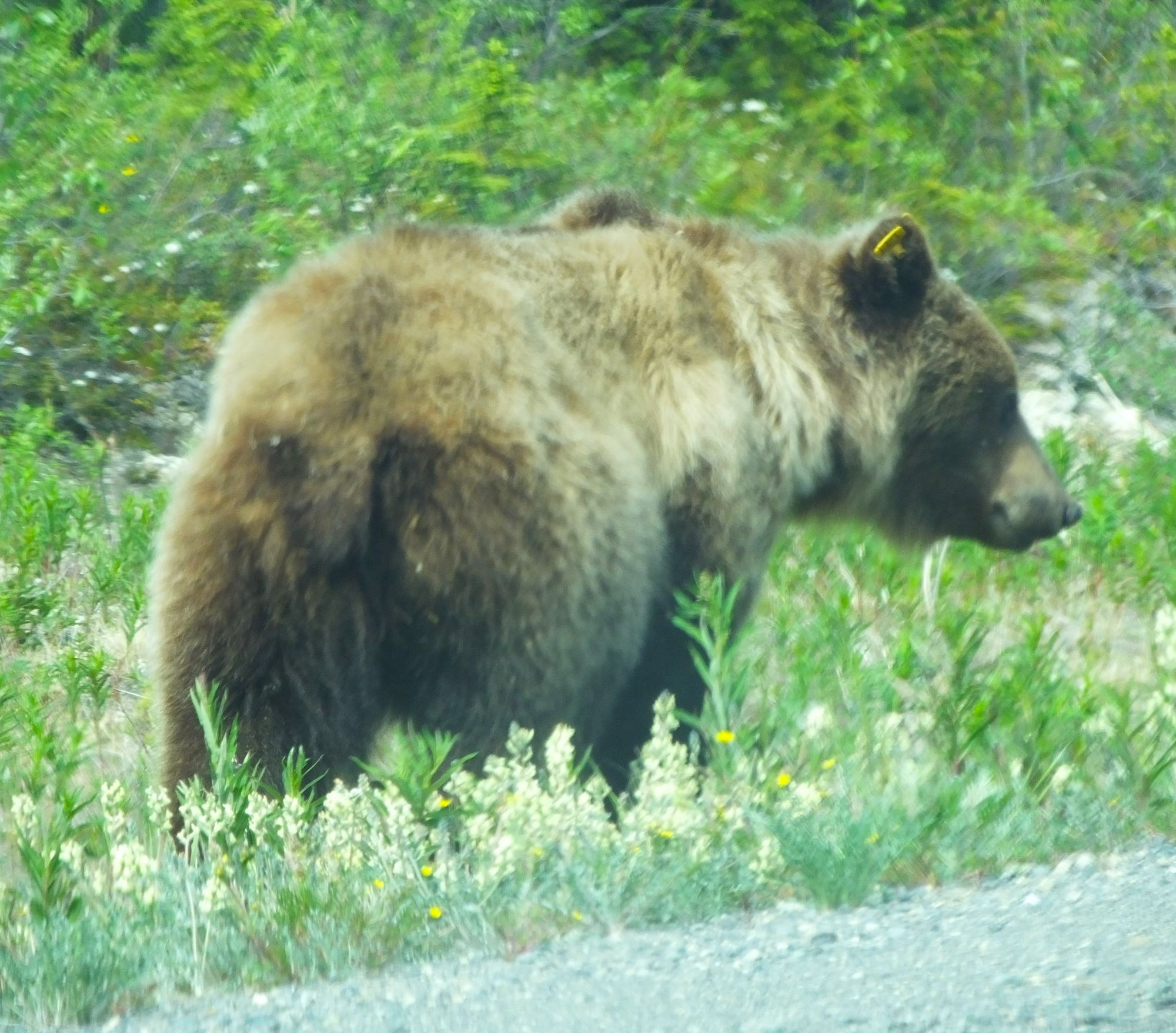
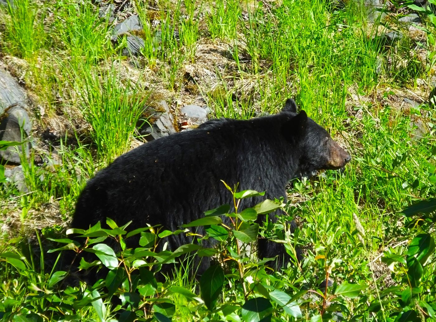
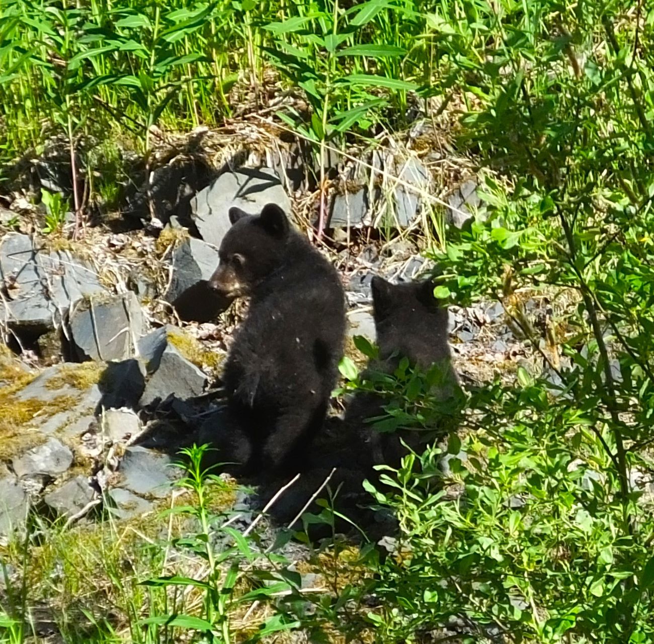
Critter Count:
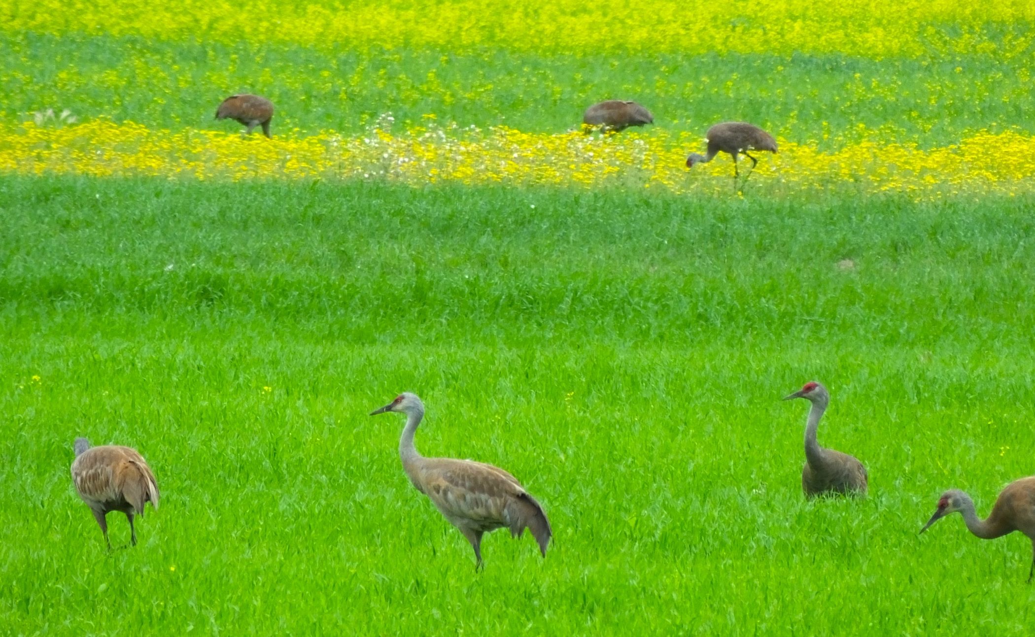
Eagles – 1
Salmon and seagulls – LOTS!
Next week:
Homer, Halibut Capital of the World