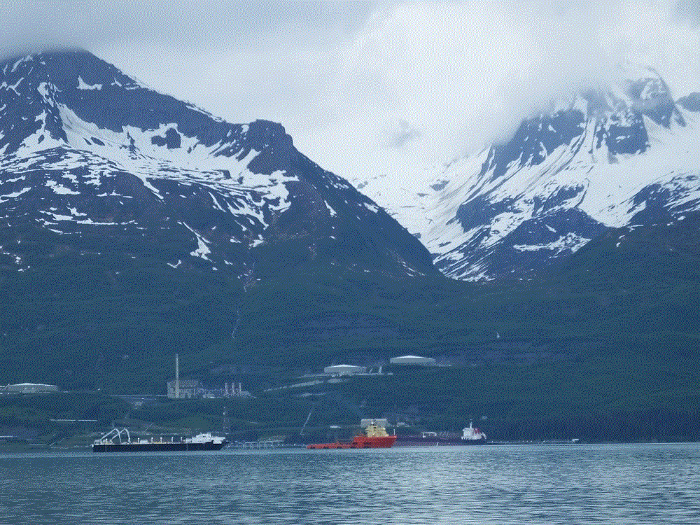
Anchorage Life

(2018 Alaska Ep 34)

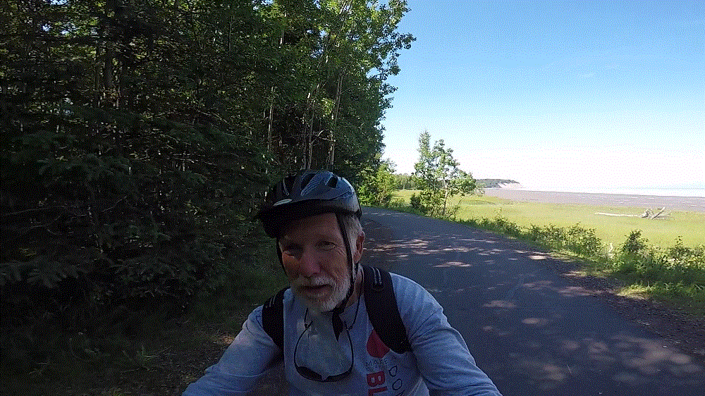
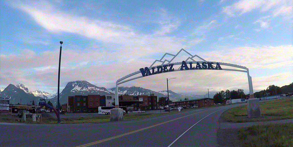
On Monday, July 2 we left Valdez for Anchorage (RabbiTRAILS Alaska Map, pt #38).

With nearly 300,000 people, Anchorage is the first city since Edmonton three weeks earlier.  The city has high rise buildings, four-lane limited access highways, a very busy major airport, just about every chain store and fast food restaurant imaginable including real Super Walmarts and Fred Meyer, the cheapest gas since leaving the lower 48, and homeless people.

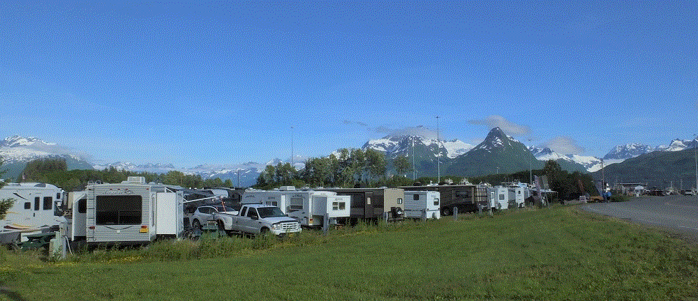
We camped next to an industrial area just north of downtown.  Although the campground didn’t have a lot of fancy amenities, it was very conveniently located about five blocks from the downtown area.

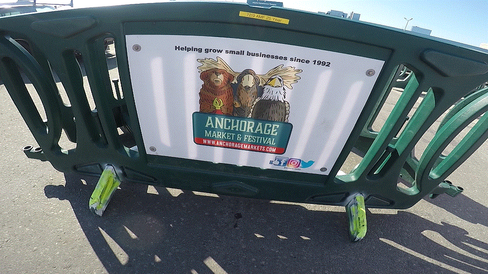
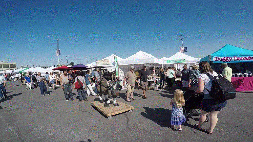
We enjoyed a US Army band during Fourth of July celebrations in a city park and the Anchorage Farmers’ Market and Festival in large parking lot, both less than five minutes away.  We connected with several bike trails crisscrossing the city.   The weather was clear and unusually warm by Alaska standards – about 80 during the day and 60s at night.

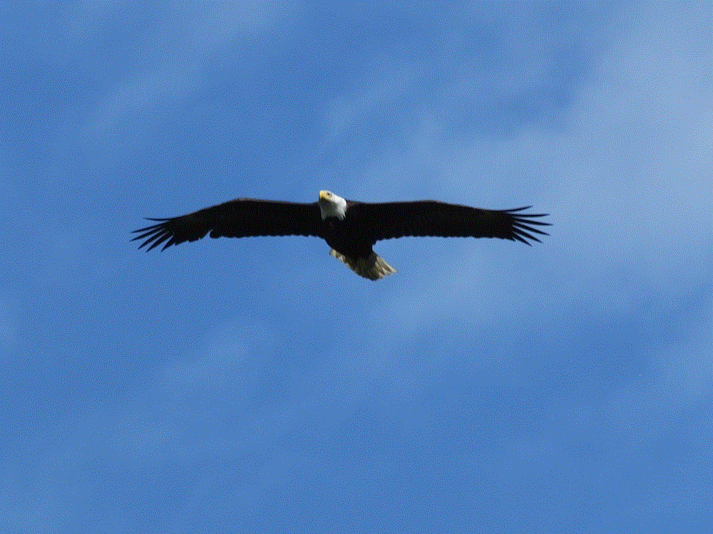
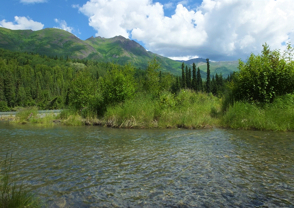
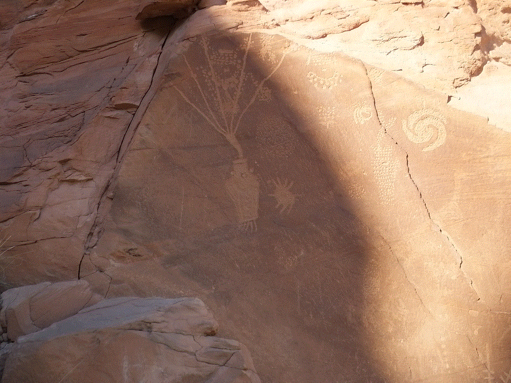
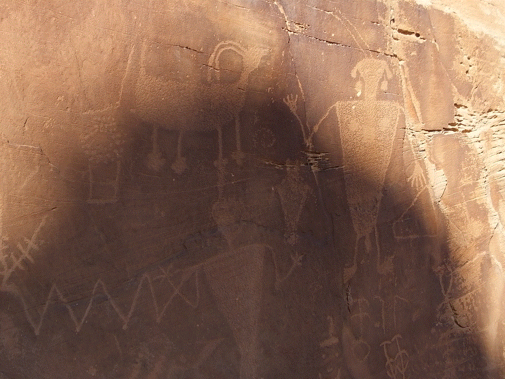
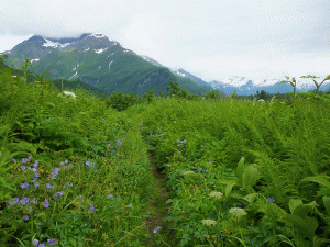
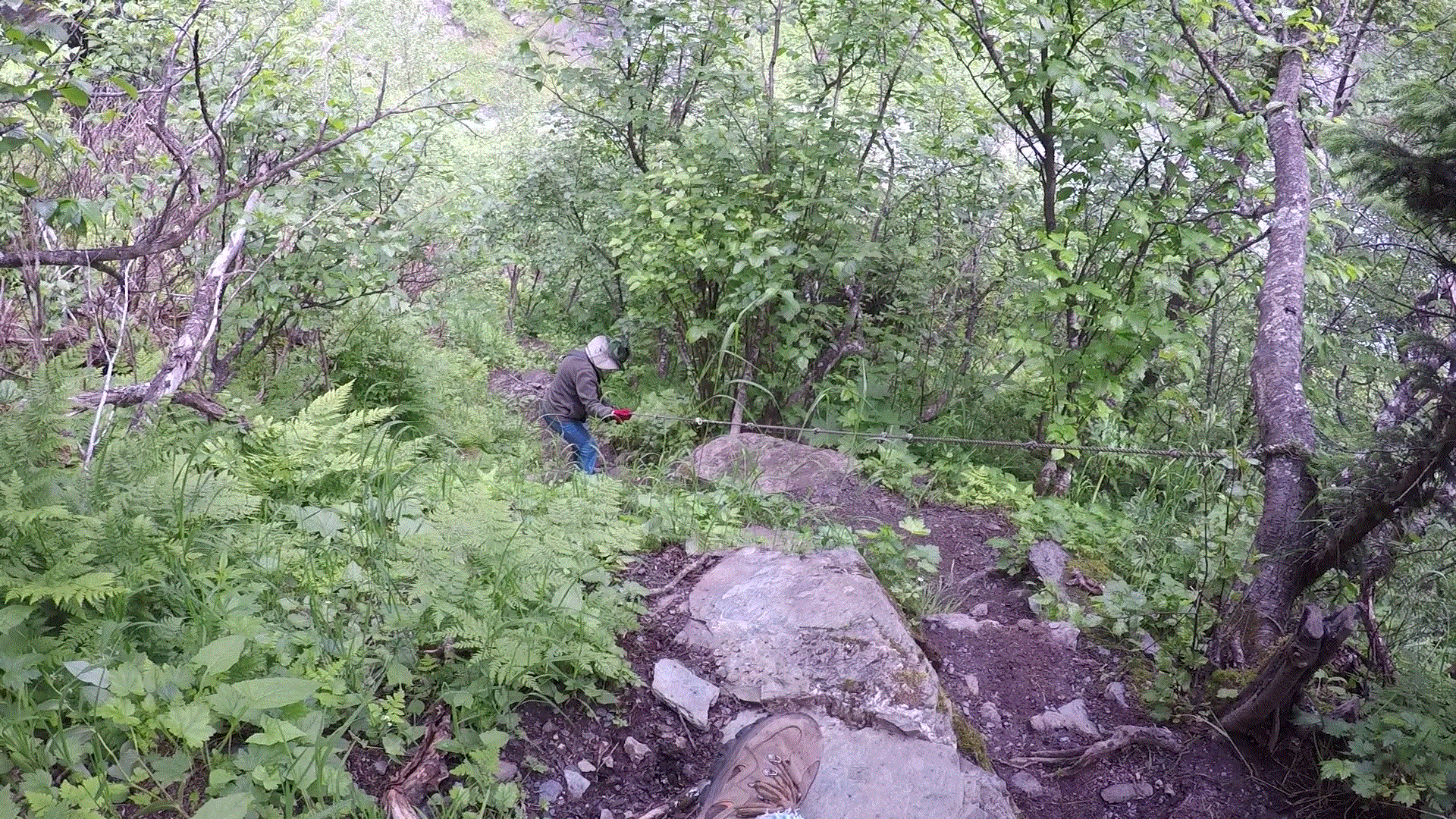
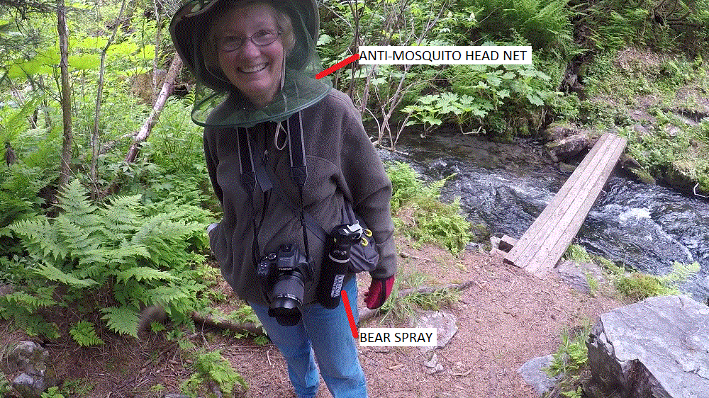
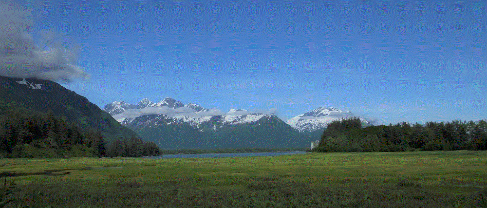
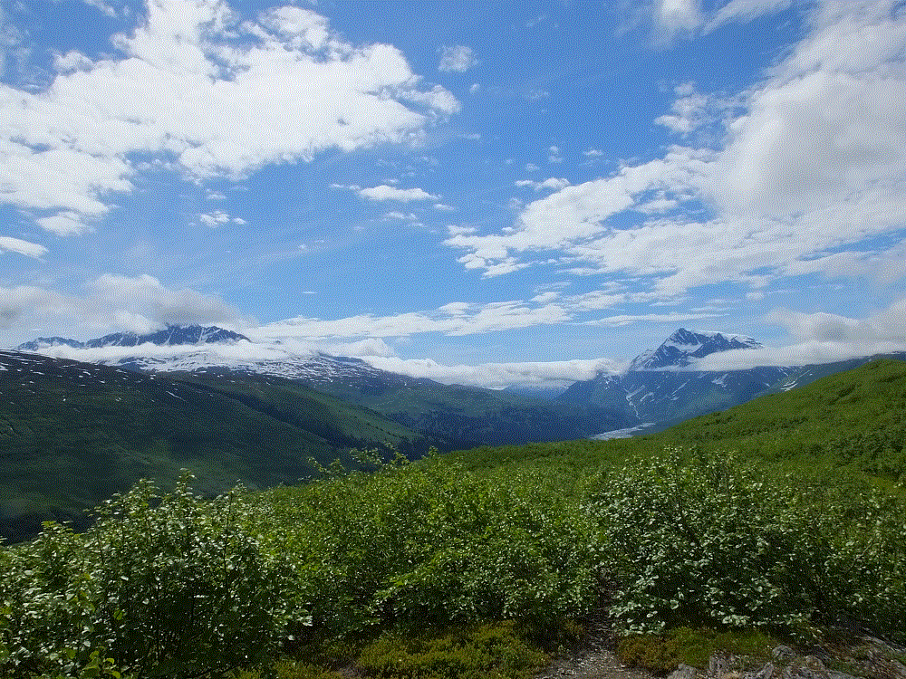
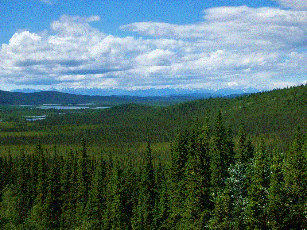
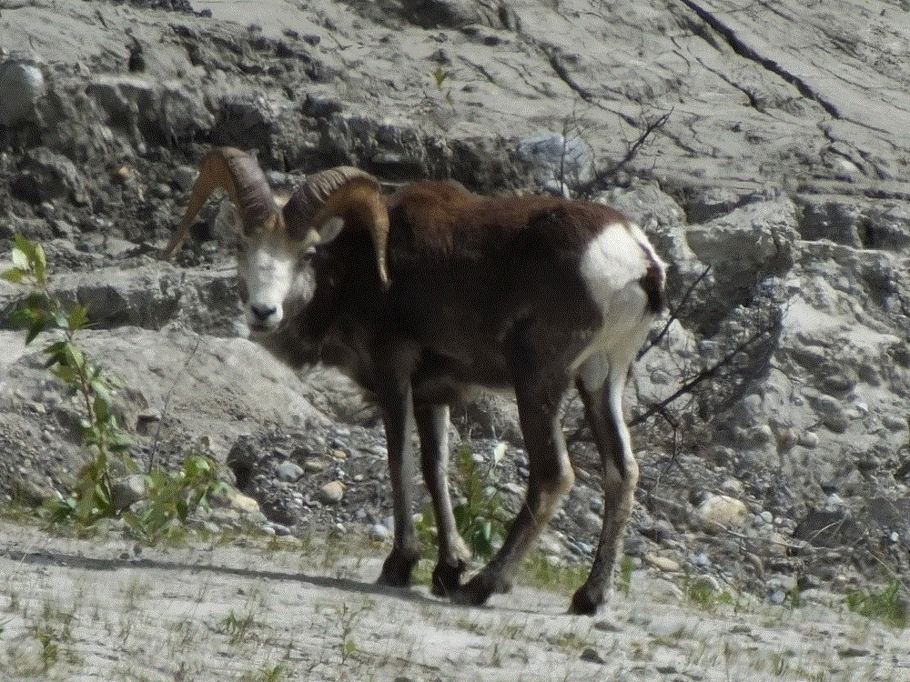
Look west from Anchorage and you’ll see the Cook Inlet and distant mountains. Closer to the east are the mountains of Chugach State Park. We drove 30 miles to hike a state park trail along the Eagle River.  The destination was a waterfall on one of the forks of the river.  We had to settle for a soaring eagle and sunny picnic lunch on the riverbank when we couldn’t cross the river due to swift and deep water.

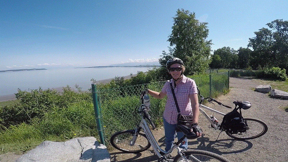
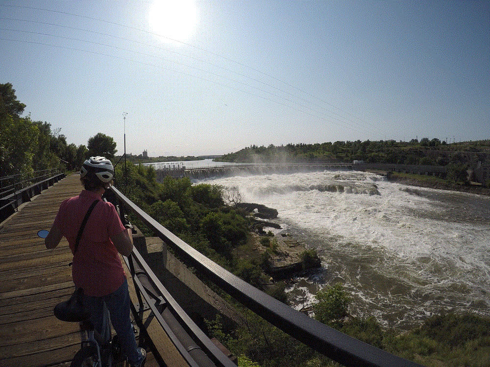
We fared better with Anchorage Bike trails.  Named for a former Alaska governor, the Tony Knowles Coastal Trail extends 11 miles from downtown along the Cook Inlet.   It parallels the Alaska Railroad for a couple miles and then goes through various wooded areas, wetlands and open fields.  We were told Denali could be seen on a clear day from one open area, but haze kept us from seeing the high one on that day.

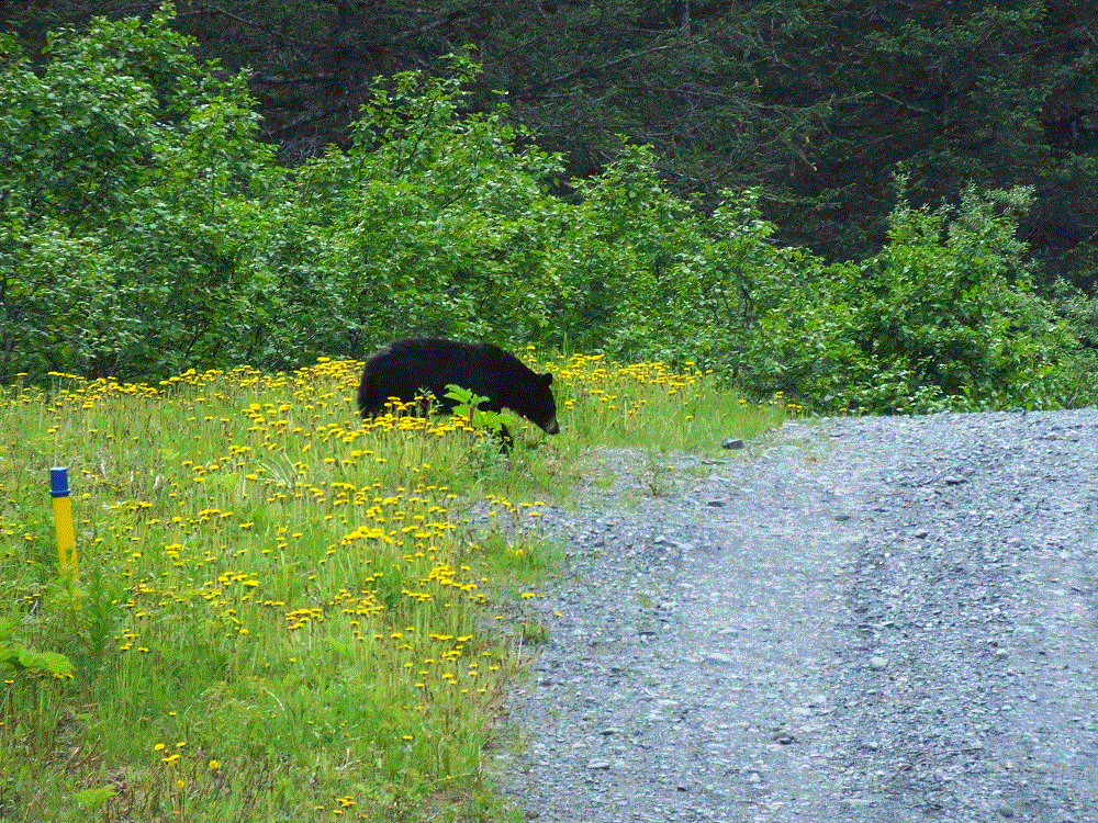
On another day we rode the Chester Creek trail after connecting via the coastal trail.  Moose had been spotted in the area (we didn’t see any) and salmon spawn in the creek (wrong time of year).  Nonetheless, we enjoyed the shaded trail as it wound several miles across the city.

We saw and heard large jets as they landed and took off throughout the day.  Because of its location, Anchorage is a major air hub for global shipping and Alaska tourism.

2018 Alaska Trip 2281 - 1807031814

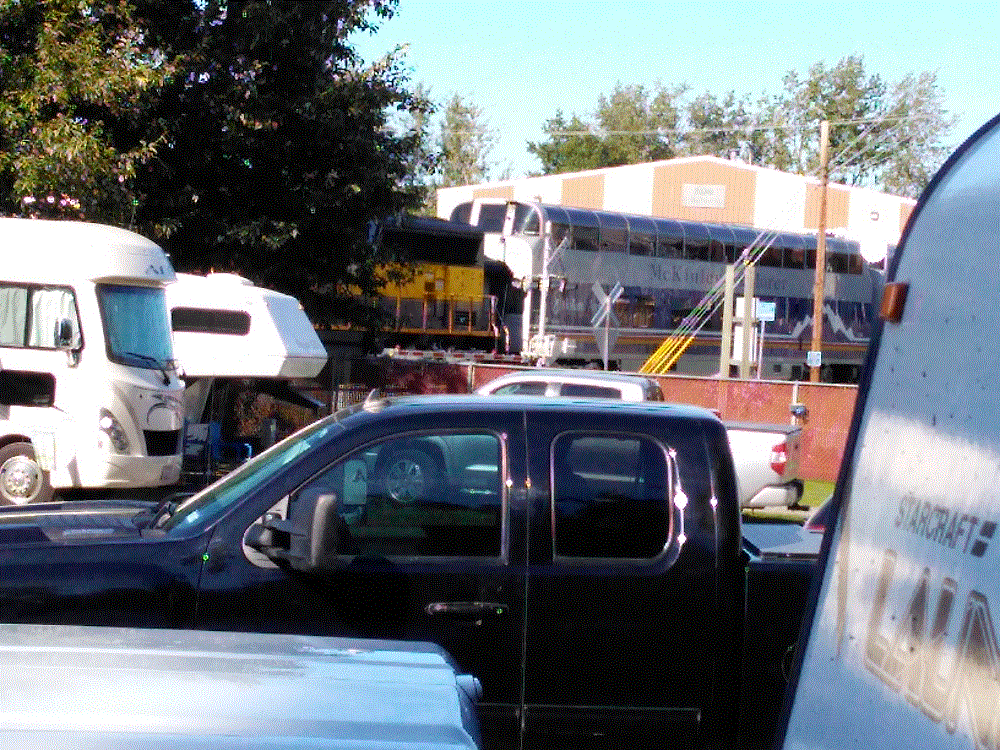
Many tourists take the Alaska Railroad north to Denali and Fairbanks, and then return south to Seward or Whittier to cruise to Seattle or Vancouver.  Three northbound passenger trains in the morning  and three southbound passenger trains in the afternoon passed within 100 yards of our campground.  The train horns – two long, one short and one long – were very loud!

Our time at Anchorage came to a close as we left for Whittier on Monday, July 9.  The weather was about to change.

A Little Valdez History

(2018 Alaska Ep 33)

2018 Alaska Trip 2099 - 1806271743
Oil pipeline storage and ships seen from across the sound

Most people know about the Exxon Valdez oil spill.  At 12:04 am on March 24, 1989, the 987 foot long oil tanker Exxon Valdez stuck Bligh Reef on Prince William Sound near Valdez.  Eight of the 11 tanks on the ship were punctured spilling nearly 5.8 million gallons of crude oil in three hours.  Later reports put the total spill at 10.8 million gallons.

Due to the area’s remote location, and a slow and uncoordinated response, the environmental impact was devastating.  There was a massive cleanup effort of hundreds of miles of shoreline by thousands of persons.  29 years later, many of the affected animal species have recovered, but there are still significant lingering effects of the spill.

Valdez was not directly impacted by the spill – it is 27 miles from Bligh Reef.  But the resulting media and environmental attention had a major impact with more than 10,000 persons overwhelming the town of 4100.

Valdez has not fared well in March.

During the afternoon of March 27, 1964 the ground began to shake and continued for nearly five minutes.  The Good Friday Earthquake, as it has come to be known,  measured at 9.2 on the Moment-Magnitude scale, the largest ever recorded earthquake in North America and second largest in the world.

The earthquake significantly impacted Valdez, Anchorage, other towns in Alaska, and coastal areas as far south as California, as well as Hawaii and Japan.  The epicenter was about 45 miles west of Valdez.

32 persons were killed in Valdez from the waterfront sliding into the sea and a 30-to-40 foot tsunami that followed.

Valdez was badly damaged and was moved to its current location three years later.

Old-New Valdez

The Valdez Museum has engaging exhibits on both the oil spill and earthquake.

Valdez, End of the Pipeline

(2018 Alaska Ep 32)

We left the Alaska Highway after a couple nights in Tok and travelled southwest via the Glenn and Richardson Highways to Valdez (RabbiTRAILS Alaska Map, pt #37).

(as an aside, major highways in Alaska are usually referred to by their names and not by the road number.  The name often has historical significance)

Enroute, we crossed the Thompson Pass in heavy rain and fog, and descended into the Valdez area.  Valdez is located on Prince William Sound and is surrounded by snowtopped mountains.  The lower mountain slopes are covered with bushes and there are numerous waterfalls from snow and occasional glaciers.  It is beautiful!

2018 Alaska Trip Video 0268 - 1807012111_Moment

We hiked various trails during the week.

2018 Alaska Trip 2103 - 1806271748

One was along marshy flats close to the sound. The trail was muddy from rain and went through VERY think vegetation – from long growing days!!

We saw bear droppings and footprints in the mud, and were glad to have bear spray just in case.

The next day we hiked a steep trail to a reservoir that provides water for a salmon fish hatchery across the bay.  Part of the trail follows the infamous Alaska Oil Pipeline – it is buried in that area however.  On the return hike we saw a black bear on the trail several hundred yards away.  Fortunately our shouts scared him off.

The most challenging hike was along a trail used by prospectors in 1899.  It was rocky and crossed several streams, and we had to use a knotted rope to descend one VERY steep section.  Meanwhile we were being feasted upon by hungry Alaskan mosquitoes.  We used our head nets for the first time during the trip!

2018 Alaska Trip Video 0247 - 1806291537_Moment
Pat’s mountain descent via rope
2018 Alaska Trip Video 0245 - 1806291500_Moment
Essentials for Alaska hikes

Most of the week it was overcast and occasionally drizzly.  The weather cleared on the last day and we were treated with stunning views of the mountains from the campground.  2018 Alaska Trip 2246 - 18070120502018 Alaska Trip 2251 - 1807012054

Before leaving for Anchorage the next day, we drove up to Thompson Pass and enjoyed a hike to Worthington Glacier.

2018 Alaska Trip 2215 - 1807011737
Thompson Pass view
2018 Alaska Trip 2232 - 1807011858
Worthington Glacier

Please watch for an upcoming blog post with interesting Valdez history.

Alaska Highway – Segment 6

(2018 Alaska Ep 31)

Our stay at Lake Creek Yukon Provincial Park (RabbiTRAILS Alaska Map, pt #34) was on June 21, the summer solstice.  This marked the first day of summer 2018 and the longest day of the year for the northern hemisphere.

There is no night! 

From sunrise to sunset the day was nearly 20 hours long.  It was light when we went to bed at around 10 pm and from the photo below, you can see it was still light at nearly midnight.  The birds announced sunrise before 4 am.  The darkest it got was like twilight after sunset.

2018 Alaska Trip 2009 - 1806212338

June 22 was our last day in Canada and first day in Alaska!   The mountains to the west were in the US – part of Wrangell-St Elias National Park, the largest US national park that is nearly four times the size of Yellowstone!

2018 Alaska Trip 2038 - 1806221335

Upon crossing the border, we where thankful to be home and for:

  • traveling mercies since we set out 69 days and nearly 9400 miles earlier.
  • good roads, good weather and positive experiences throughout our trip, particularly during three weeks in Canada.  (BTW, the roads on the US side of the border were actually bumpier than those in Canada).
  • our family and friends at home offering encouraging blog posts and praying for us, and for those keeping an eye on our home.
  • the blessings of God’s creation, the many beautiful places we visited and the foresight of others to preserve those places for future generations to enjoy
  • cell phone coverage.  Our Verizon phones did not work in Canada.

Critter Count Day 6  (Lake Creek to Tok)

NONE.  They must have been sleeping after being up during the summer solstice!

Coming Up – A Week in Beautiful Valdez, Alaska!

Alaska Highway – Segment 5

(2018 Alaska Ep 30)

Restocked and medicine cabinet remounted with four additional screws, we pressed on to Tok, Alaska (RabbiTRAILS Alaska Map, pt #35), with a night at a Yukon Provincial Park (map pt #34) along the way.

Before leaving Whitehorse we visited the world’s largest weathervane at the airport.  A full-sized Douglas DC3, manufactured in 1942 and retired in 1970, is mounted so that it actually turns in the wind!

2018 Alaska Trip 1907 - 1806201046

Later, we skirted snowcapped mountains to the west, part of Kluane National Park and Preserve.

2018 Alaska Trip 1978 - 1806211156

At one point, we noticed the distant mountains were shrouded by haze.  We assumed a forest fire, but discovered the haze was an immense dust cloud raised by winds blowing along a dried portion of Kluane Lake.

That afternoon we watched a mother grizzly bear and her two cubs near Destruction Bay.

2018 Alaska Trip 1992 - 1806211437

We thought the name Destruction Bay referred to poor roads in the area and their effect on RVs.  The name was actually given following a storm that destroyed buildings and such when the Alaska Highway was being built.

Our stop for the night was at Lake Creek Yukon Provincial Park.  We enjoyed the quiet campground.  The hungry Yukon mosquitoes enjoyed us….

Critter Count Day 5 (Whitehorse to Lake Creek)

  • grizzly bears – 3

Alaska Highway – Liard Day Trip

(2018 Alaska Ep 25)

From Muncho Lake (RabbiTRAILS Alaska Map, pt #31) we made a day trip to Liard Hot Springs Provincial Park.

The 10-minute walk from the parking lot took us past a shallow swamp area.  Fortunately the mosquitoes weren’t interested in us and there were no bears or moose in the area.

The spring flows into two natural rock-lined pools.

After changing into swimsuits, we eased into the lower pool and learned the water cools as it flows downstream.  The right soaking temperature could be found by moving upstream (warmer) or downstream (cooler).

We found the warm waters to be very relaxing, much like the builders of the Alaska Highway in 1942!

Critter Count (Liard Hot Springs Day Trip)

  • stone sheep – 11 (several groups)

Welcome to Canada!

(2018 Alaska Ep 22)

On June 6, after nearly 7000 miles and more than seven weeks, we crossed into Canada near Sweetgrass Montana.

We were a little stressed – we had to have passports, auto and camper registration papers, and proof of insurance.  We needed details about prescription medications.  We had to ensure we didn’t have any food items that weren’t allowed.  And we needed proof that our bear spray was for bears only, not people!  Still we wondered if there was something we forgot or if we would have to endure an extensive search of our truck and camper.

We weren’t alone in our concerns about the border.  There are numerous YouTube videos with border crossing horror stories.

We reached the Canadian Customs checkpoint and gave the agent our paperwork.  He asked us a few questions and we were on our way in just over five minutes.  We were wonderfully relieved!


After our first night in Taber, Alberta (RabbiTRAILS Alaska Map, pt #25), we continued to Drumheller (map pt #26), a small town well known for several significant dinosaur discoveries.  At the Royal Tyrell Museum you can walk through exhibits of the various eras of the dinosaurs and other prehistoric life.  There are lots and lots of full-sized dinosaur fossils to gawk at.

And to think it all happened in six days!

Later we witnessed the world’s largest dinosaur in the center of town – an 86-foot T-rex.  We even saw him breathe a little smoke – this was a sight to behold!

Thinking back to the first few days of our trip, we wondered how Superman would fare with an 86-foot tall T-rex.  Apparently others have wondered about this as well as chronicled in Action Comics!

We camped at Pope Lease Pines, about 10 miles outside Drumheller, surrounded by gently rolling wheat fields that extended as far as the eye could see.  The campground was in the midst of tall trees that provided protection from the wind.  We enjoyed the evening breezes and sounds of the prairie.

Next to the entry road was a Sawyer-Massey Peerless Separator, Model 1315 thresher.  This was used in the early 1900s to harvest wheat.  It must have taken weeks and weeks to harvest the wheat. How things have changed!

Alberta Wheatfield
Thrasher

On to the Alcan and Alaska

This morning (June 12), we headed northwest to Alaska after several days in Edmonton (map pt #27).

We expect to reach Mile 0 of the Alaska-Canada (Alcan) Highway tomorrow (map pt #29) and take up to two weeks to cross back into the US near Tok, Alaska.  This will be the most remote part of our trip and we will do our best to provide blog updates every few days!

Great Falls: If Only Lewis and Clark Had Known…

(2018 Alaska Ep 21)

We left Cody on Monday, June 4, headed for Great Falls, Montana (RabbiTRAILS Alaska Map, pt #24).

On the way we had an interesting experience near Billings.  Our GPS routed us to the middle of nowhere (actually to the very small town of Molt, Montana).  We reached a point where our only choice was one of several dirt roads.

We decided to backtrack, and after 30 minutes, we were on the correct road to Great Falls!  This was a lesson to be careful what you put your faith in and to double check routing with a map!


During our stay in Great Falls, we learned the Lewis and Clark Expedition passed through the area in 1804.  As they travelled upriver, they were expecting a single set of falls on the Missouri River.  There were actually five!

The Lewis and Clark National Historic Trail Interpretive Center located on the bluffs above the river gives an excellent chronology of the expedition.

Adjacent to the center is a great bike trail along the Missouri River.  We biked part of the trail to see views of three of the waterfalls encountered by Lewis and Clark, and the dams that have been built to control the river.

Giant Springs State Park is also on that trail.  More than 150 million gallons of water flows from the springs into the Missouri River each day.  Lewis and Clark even noted the springs during their expedition.

The springs reminded us of some of the first magnitude springs in Florida.  At 54 degrees year-round, the Giant Springs would be a bit cold for Florida manatees however!

After two nights in Great Falls we continued north and became international travelers when we crossed the border into Canada!

A Two Day Visit with Buffalo Bill

(2018 Alaska Ep 14)

We’ve been at Cody, Wyoming (RabbiTRAILS Alaska Map pt #19) for the past four days. Tomorrow we head to Yellowstone National Park for eight days.  After Yellowstone, a quick return to Cody for a couple nights and then ON TO ALASKA!

2018 Alaska Trip 1047 - 1805211133

We decided to visit Cody in part because of the Buffalo Bill Center of the West, a museum that is actually FIVE museums:

  • Buffalo Bill Museum – tells about the life of William Cody2018 Alaska Trip 1051 - 1805211407
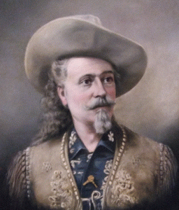
, aka Buffalo Bill – Army scout, entrepreneur, showman, founder of Cody and American icon.
  • Whitney Western Art Museum – western-themed paintings and sculpture, with originals from Remington, Proctor, Sharp and many more.
  • Cody Firearms Museum – impressive historical firearms collections from many manufacturers – Smith and Wesson, Winchester, Colt and others.
  • Plains Indian Museum – exhibits of Plains Indian peoples, their cultures, traditions, values, and histories, and the impact these on their lives today.
  • Draper Natural History Museum – immersive, informative and inspiring displays about the greater Yellowstone ecosystem, from alpine regions to the plains.

2018 Alaska Trip 1046 - 1805211129

In front of the museum, in keeping with the western theme, was a chuckwagon and gentleman who was making coffee in an old time coffee pot, campfire beans from scratch and sourdough biscuits.

Anyone who stopped by got free samples and a bit of cowboy cooking history.

Never one to turn down free food and VERY INTERESTED in Dutch oven cooking, this was a highlight of my day!

It took us two full days to see the museums.  If you are ever in the area, be sure to visit this great museum!


We spent the other days doing more mundane things getting ready for Yellowstone: cleaning the camper and truck, laundry, haircuts, adjusting camper tire pressure and checking lug nuts, grocery shopping, buying hiking boots…and of course, a couple hours walking downtown Cody looking for neat western souvenirs!

Petroglyphs NM: Antient Art or Graffiti?

(2018 Alaska Ep 13)

A fascinating part of our travels has been to visit several locations with petroglyphs.  Some 400-700 (or perhaps more) years ago, people chipped away the thin desert varnish on rock faces to reveal the lighter gray rock underneath – this left lasting marks we wonder about and enjoy today.

The marks certainly had cultural significance – they give clues about what was on the minds of the people at that time.  Some say they have religious significance as well.

We visited Petroglyph National Monument in Albuquerque (RabbiTRAILS Alaska Map pt #13).  The sprawl of the city now encircles the monument.  Hundreds of petroglyphs can be viewed in three main areas.  We endured a very warm couple mile hike to one – Piedras Marcadas Canyon.  It was worth it!

A few days later we visited another site within Dinosaur National Monument (Map pt #17).  Actually there is a lot to do there besides dinosaur stuff.

There were a number of lizards on one rock face.  We wondered how the large lizard was etched, considering it is nearly 15 feet above the ledge below.

Finally, when we were in Thermopolis (Map pt #18), we saw a modern petroglyph.  Perhaps today’s graffiti will be studied and valued hundreds of years from now!

2018 Alaska Trip 1024 - 1805191721