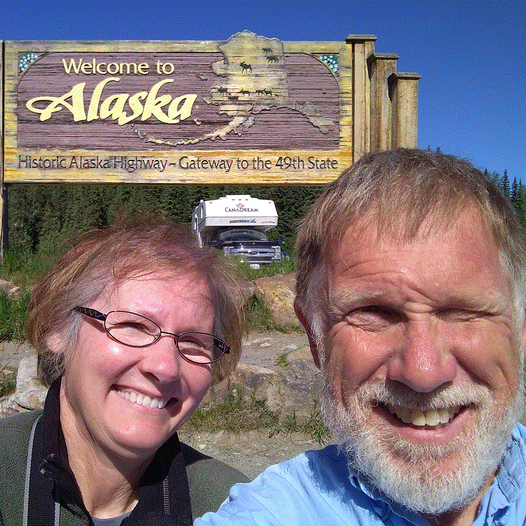
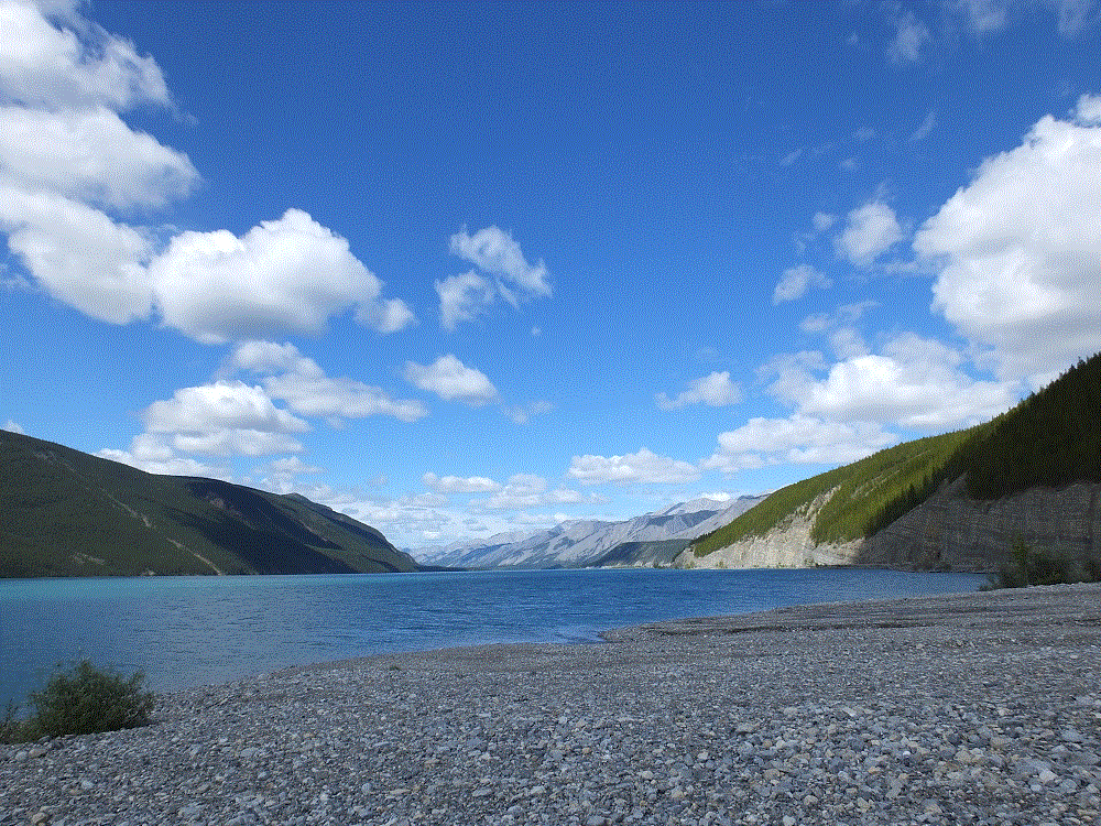
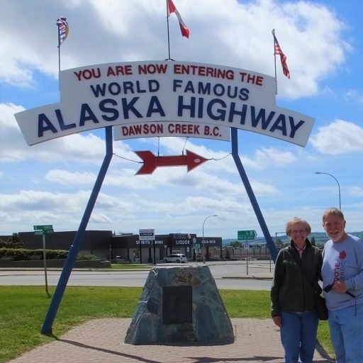
There’s Lots to See in Fairbanks

(2018 Alaska Ep 42)

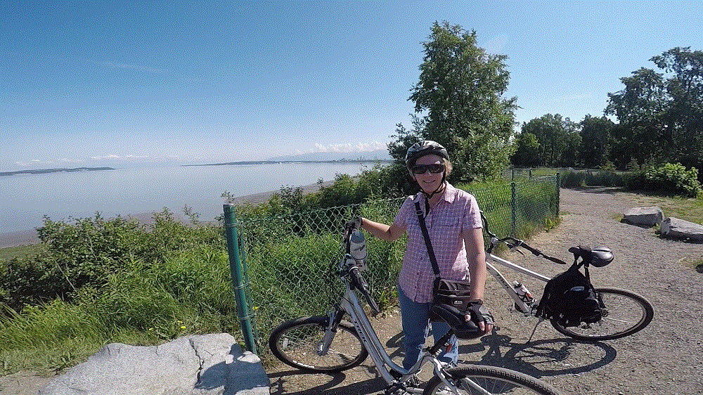
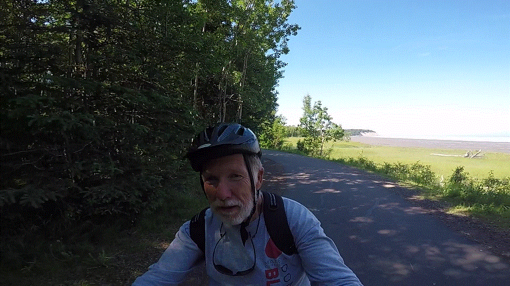
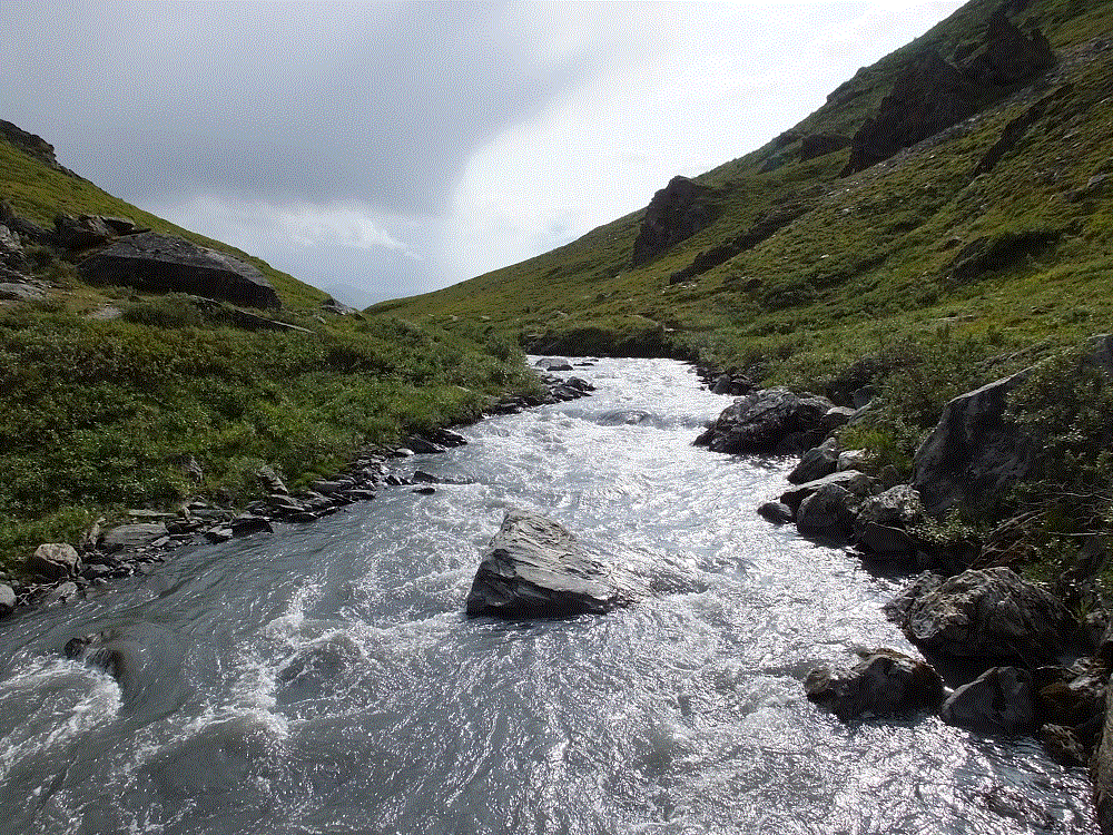
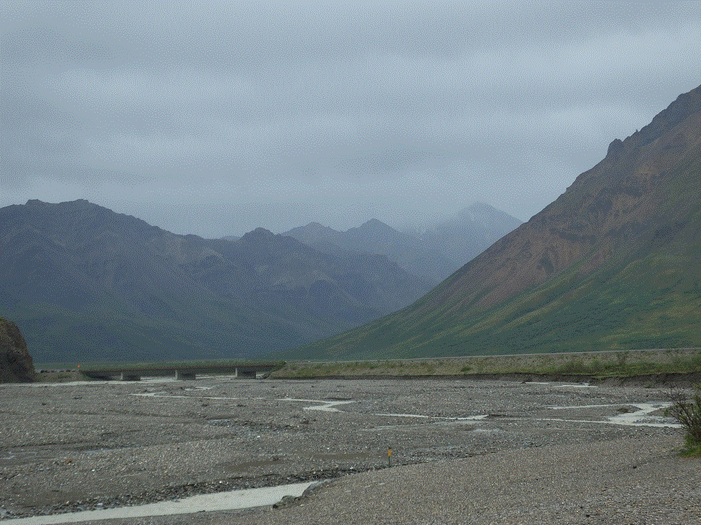
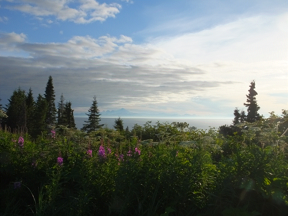
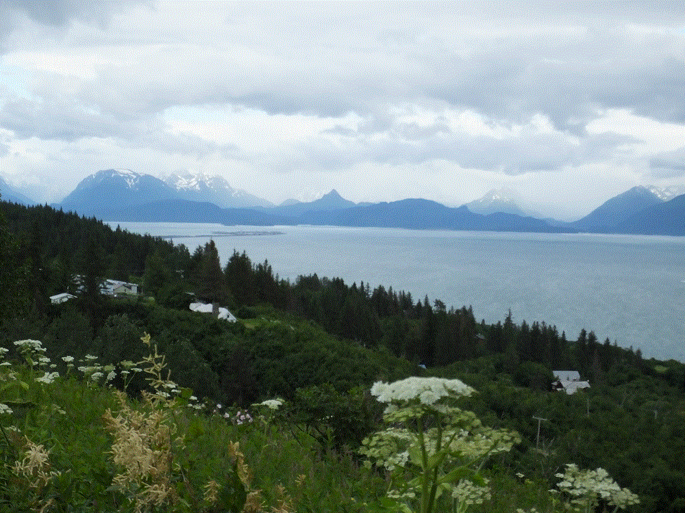
Signs of change were everywhere – shorter days and cooler nights, more days of rain, fireweed plants losing their flowers and turning red, and birch tree leaves changing from green to dull green to yellow.  Highways, campgrounds and attractions even seemed to be slowing down.  With mid-August, fall is right around the corner and our time in Alaska was growing short.  

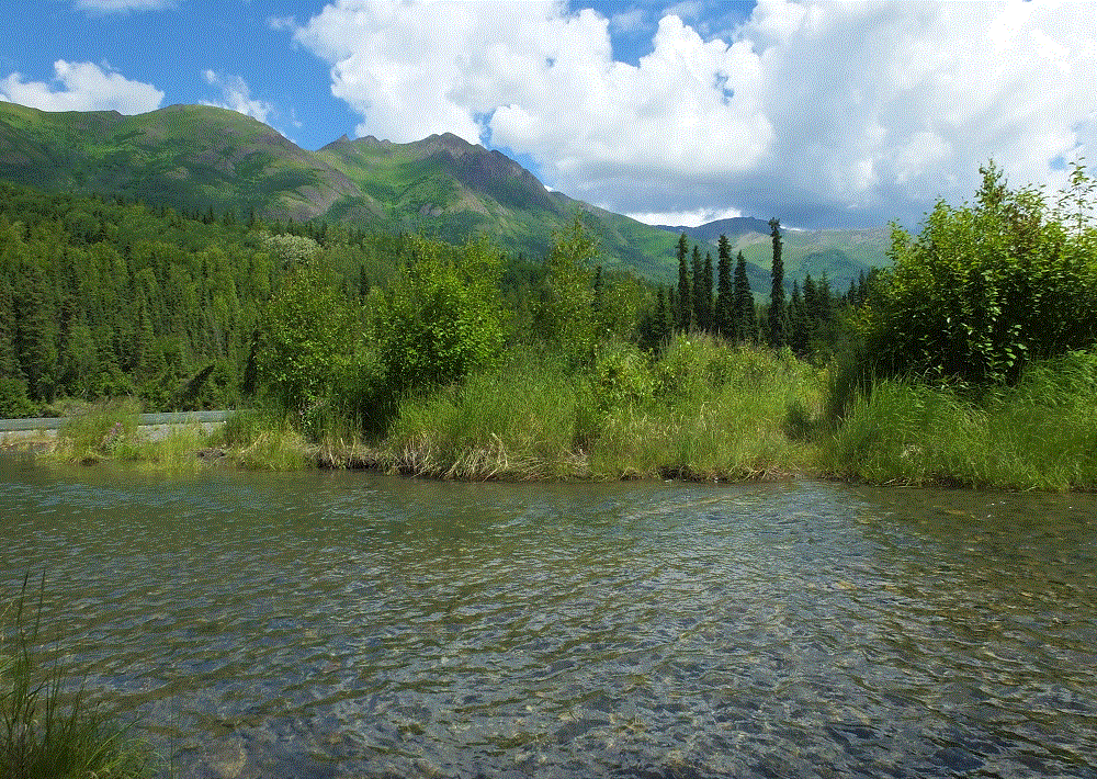
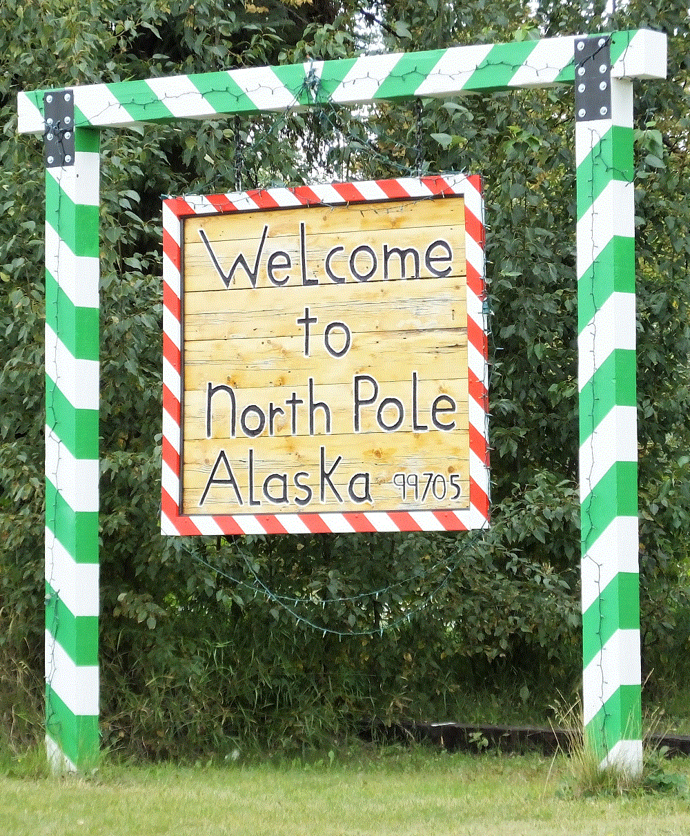
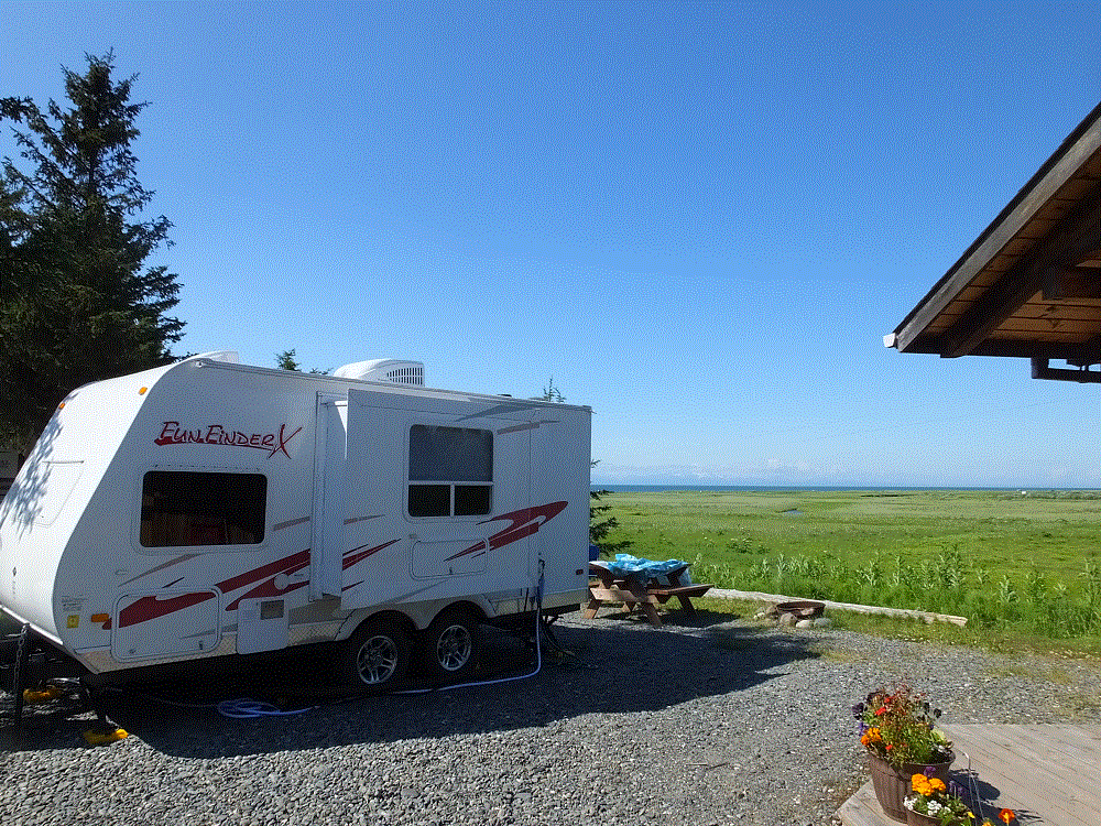
The trip from Denali to Fairbanks was an easy four hour drive and we found a  campground in North Pole, a few miles east of Fairbanks (RabbiTRAILS Alaska Map, pt #48).

For a relatively small city (population 33,000 in 2016), Fairbanks has a lot to see and do.

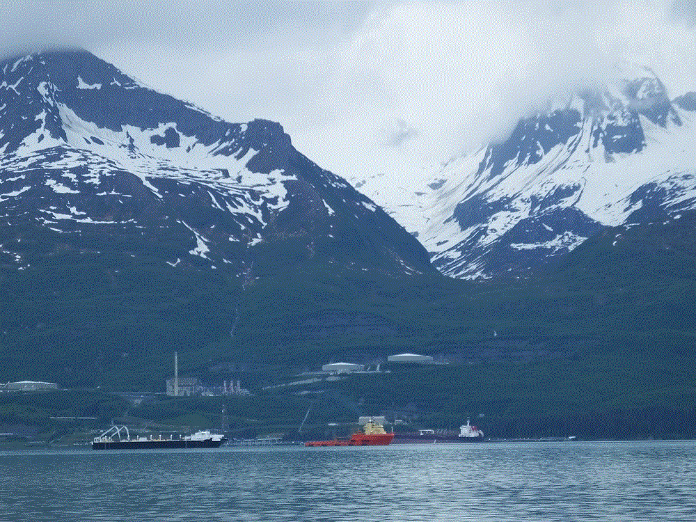
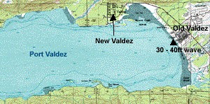
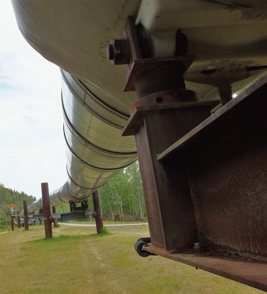
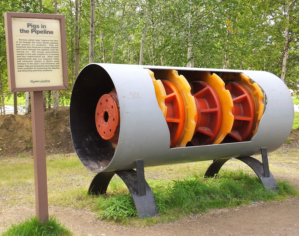
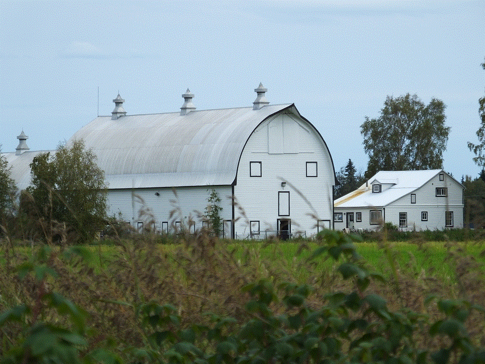
The Alaska oil pipeline passes nearby on its way from Prudhoe Bay to Valdez.   North of town, you can view the actual pipeline along with several displays with interesting pipeline information.  We’ll be seeing lots more of the pipeline in the days to come…

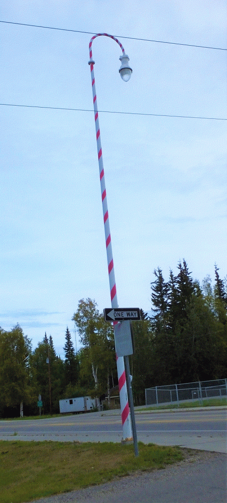
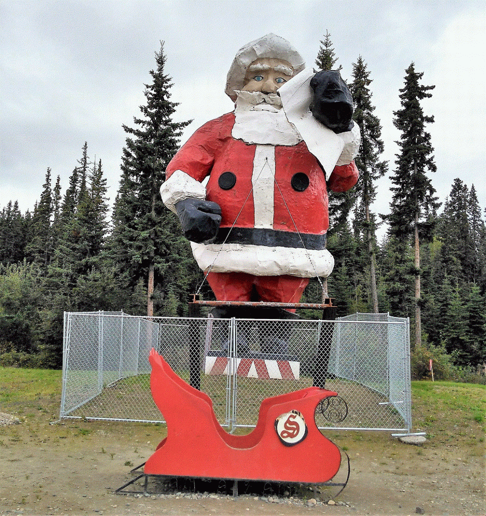
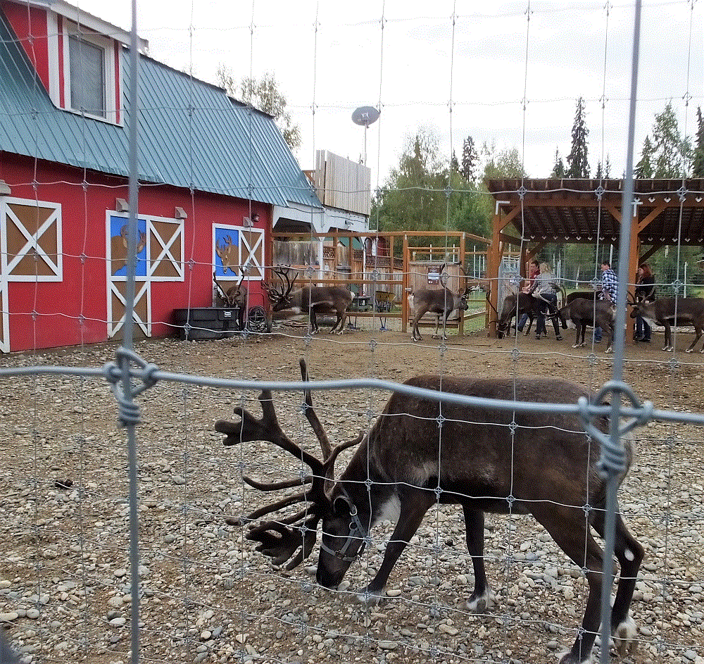
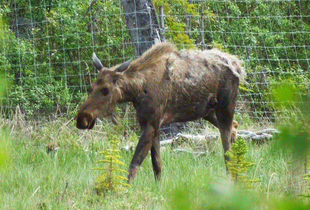
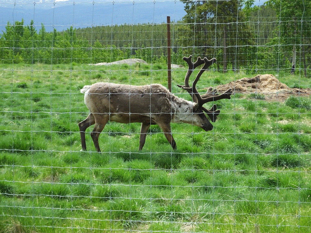
North Pole is the ultimate Christmas destination – the street light poles are shaped like candy canes and you can find just about anything Christmas in the Santa Claus House.  They even have the world’s largest Santa at 42 feet and live reindeer next door at Antler Academy.

2018 Alaska Trip 3954 - 1808201129

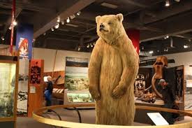
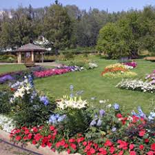
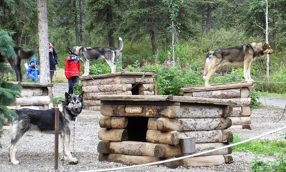
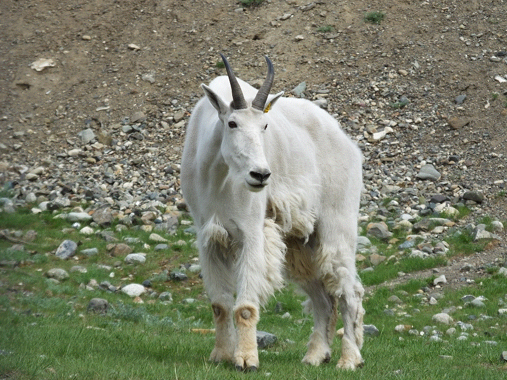
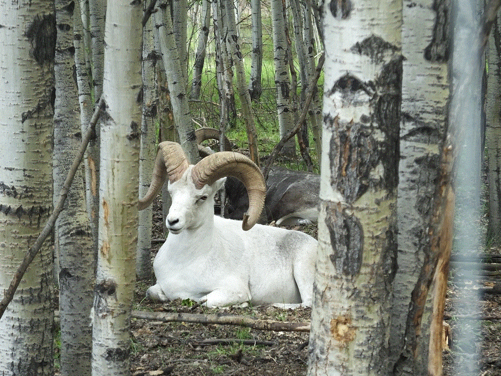
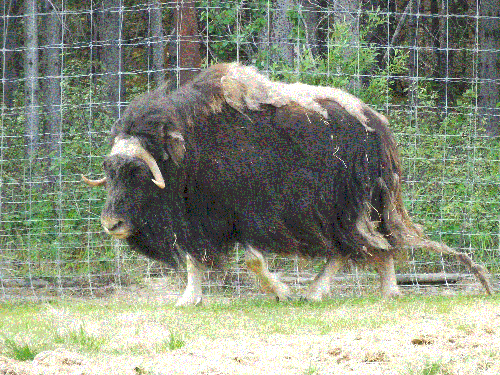
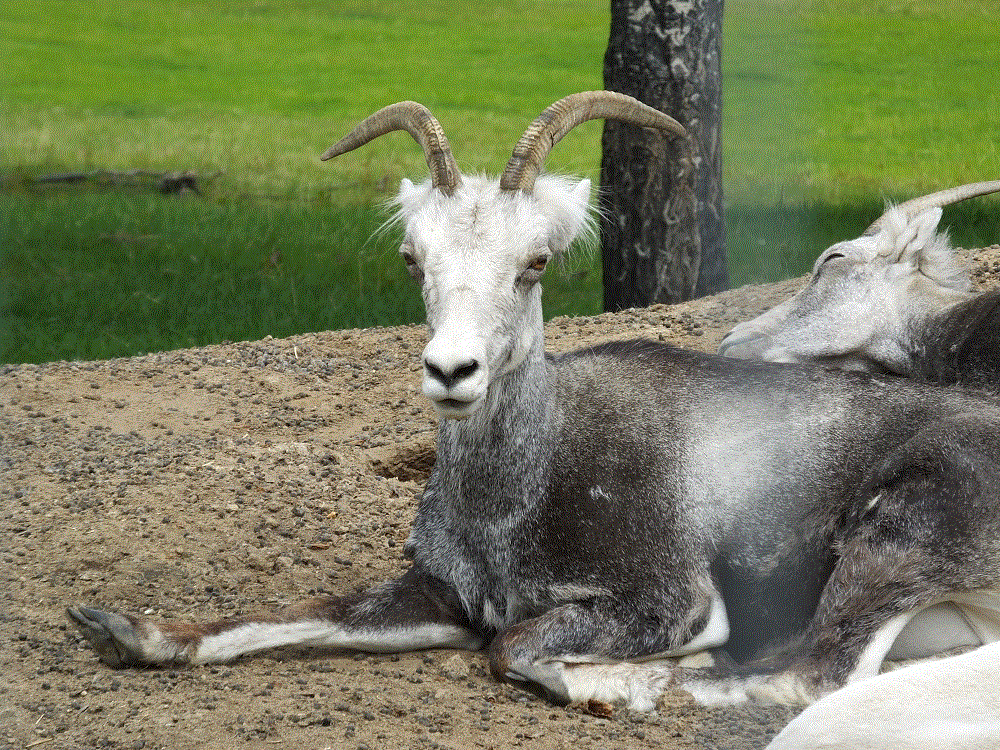
At University of Alaska Fairbanks we enjoyed outstanding exhibits about Alaskan art, wildlife and people at the Museum of the North and later learned about Alaska fauna at the Georgeson Botanical Gardens.

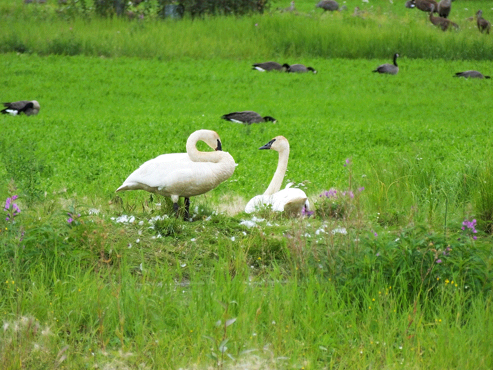
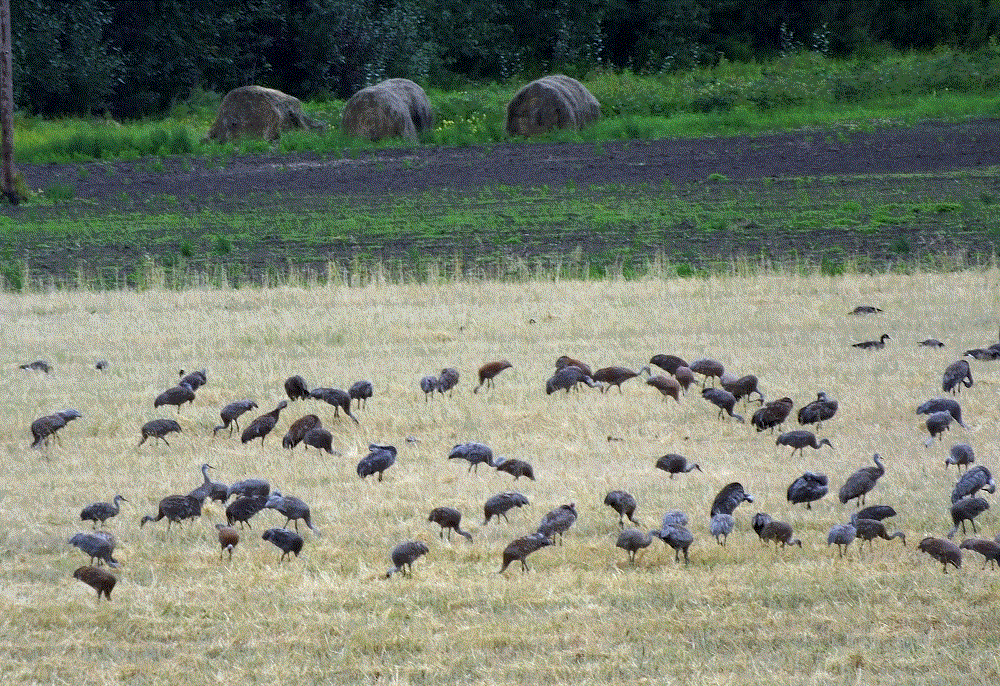
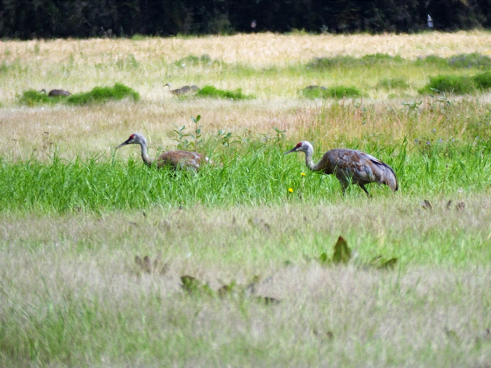
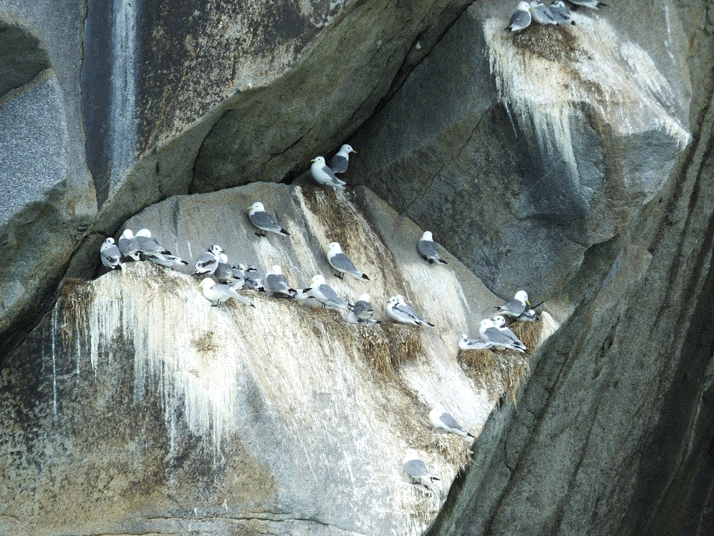
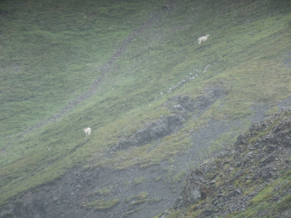
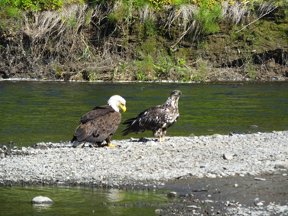
We watched hundreds of sandhill cranes circle the gardens and land on a large field across the road.  It is one of the areas in town where migratory birds rest during their long distance flights south.  Elsewhere in Fairbanks is Creamers Field Migratory Waterfowl Refuge, located on a large tract of land that used to be a dairy.  We saw lots of sandhill cranes, Canadian geese, ducks, trumpeter swans and more.

2018 Alaska Trip 3990 - 1808201446
Closeup of Sandhill Cranes

The highlight of our Fairbanks stay was a trip north to the Artic Circle.  More on that in the next blog post!

Denali NP: Revisited

After the Glacier-Wildlife Cruise on Friday, August 10, Phil flew home late Saturday and Pat and I left Anchorage on Sunday morning.  Our plans were to revisit Denali if the weather was good.  We wanted to see some of the sights and hike several trails that we couldn’t during our first visit rainout.

We camped at Willow and Talkeetna on the way (RabbiTRAILS Alaska Map, pts #46 and #47) and arrived at Denali (map pt #45) on Wednesday, August 15.  Campsites weren’t available in the park so we set up camp at a private campground six miles south of the park.

We checked the weather forecast for the next two days  and decided to ride the park transit bus to the Eielson Visitor Center on Thursday.  Eielson is about two-thirds of the way to Kantishna, at mile 66 of the 92-mile-long Denali Park road.

We were amazed at the mountain and valley vistas that were shrouded by rain and fog during our first visit.  The unspoiled wilderness and immenseness of Denali is awesome.  And to think, we only saw about 2% of the park!

2018 Alaska Trip 3784 - 1808161401
Panorama view from Polychrome Pass
2018 Alaska Trip 3852 - 1808161736
Toklat River flowing from distant mountains

The park road crosses wide rivers and climbs steep mountains.  Steep drop-offs along the narrow road that were hidden from us during our first bus trip were now clearly visible and a bit scary!

At Eielson we hiked a short (.8 mile one way) but very steep (1000 ft elevation gain) trail to an alpine ridge overlooking the visitor center.  The day was partly cloudy and the views were wonderful.  Had the day been clear, we would have seen Denali.

2018 Alaska Trip 3837 - 1808161716
Pausing for a photo on the Eielson Alpine Trail – great views but no Denali

Like our previous trip we saw lots of animals, including a mother grizzly and cub that crossed the road right in front of several buses.

On Friday, we hiked a loop trail along the Savage River.  It is one of the most beautiful hikes we have ever taken.

2018 Alaska Trip 3901 - 1808171548
Savage River

We broke camp on Saturday and prepared to leave for Fairbanks.  The day was clear. Before we left the Denali area, we caught a spectacular glimpse of The Great One!

Denali – the Great One

Iditarod: Dog Sledding Super Bowl

(2018 Alaska Ep 40)

2018 Alaska Trip 4182 - 1808242201

As we’ve traveled through various parts of Alaska there has been frequent mention and interest shown in sled dog racing.  We suspect the Alaska sled racing season is met with as much enthusiasm as college or professional football in the lower 48.

The Iditarod Trail Sled Dog Race is probably the most well known long distance sled dog race in Alaska.  The link above gives a lot of very interesting history about dog sled races and the Iditarod.

We visited the Iditarod Trail Race Headquarters in Wasilla and learned lots about sled racing.

  • The Iditarod commemorates Alaskan sledding heritage and has been run since 1973.
  • Sled dog teams of up to 16 dogs run from Anchorage to Nome, nearly 1000 miles!
  • The race is run in early March and can take 15 days or more to complete.
  • It has two starts – Anchorage is the ceremonial starting point and Willow (near Wasilla) is the actual starting point.
  • The fastest recorded Iditarod time was 8 days, 13 hours, 40 minutes and 13 seconds in 2017.
  • The race is not just for men – women have won the race several times.

As mentioned in an earlier blog post, Denali National Park has a nice dog sled presentation.  It is amazing how excited the dogs are as they wait to be hitched and how much enthusiasm they show when pulling.  Some photos from the presentation:

2018 Alaska Trip 3251 - 1808081607

We saw an interesting quote displayed at the Iditarod visitor center:  the dogs are the athletes and the musher the coach!  After seeing videos and picture of the rigors of the race, we totally agree.  We’ll more closely follow the Iditarod this coming March!

      Kenai Fjords NP: Glacier and Wildlife Cruise

      (2018 Alaska Ep 39)

      As our son Phil’s trip to Alaska came to a close,  we decided to take a six-hour glacier and wildlife cruise with Kenai Fjords Tours.  Our cruise on the Calisto Voyager would take us southwest from Seward (RabbiTRAILS Alaska Map, pt # 44) along the Alaska coastline and Kenai Fjords National Park.

      We saw wildlife even before leaving the dock – playful otters, a lonely sea lion and even some jellyfish.

      We left Seward and arrived at Aialik Glacier in about 30 minutes.  The ship stopped a quarter mile from the glacier.  It was a magnificent view on a magnificent day!

      2018 Alaska Trip 3391 - 1808101319

      Our ship captain told us the face of the glacier is nearly 600 foot high and about a mile wide.  The glacier is noisy – with continuous cracking, occasional loud bursts that sound like cannon shots, and small ice flows that fall into the water every few minutes.

      The glacier face has deep fissures and we hoped to see a large piece break free.  Such calving didn’t happen during our visit, but here is a 2015 YouTube video that shows Aialik Glacier calving.

      Various-sized chunks of ice floated in the water near the glacier and numerous seals sunned themselves on the larger pieces.  One of the crew members explained the seals choose that location to avoid predators.

      We left the glacier and spent most of the remainder of the cruise searching for wildlife around various islands just offshore.

      Our boat and several others stopped to see a pod of Orca whales dive and surface.  Later we saw a larger humpback whale.  The captain explained humpback whales migrate to Hawaiian water during the winter.

      2018 Alaska Trip 3442 - 1808101423

      On another island we saw a large group of barking steller sea lions.  They nervously waddled from the rocks into the water when our boat approached.

      2018 Alaska Trip 3446 - 1808101439

      The islands are home to thousands of seagulls, cute puffins and other birds.  One puffin flew alongside our boat for a considerable distance before finally veering away.

      We also saw a majestic bald eagle standing guard near the top of a rock face.

      2018 Alaska Trip 3618 - 1808101820

      As the cruise came to an end, we were surprised by another flying spectacle – a kite surfer riding the brisk breezes above the ice cold waters of Resurrection Bay.

      2018 Alaska Trip 3635 - 1808101901

      Denali NP: The Great One

      (2018 Alaska Ep 38)

      2018 Alaska Trip Video 0433 - 1808051513

      After picking up Phil in Anchorage on Saturday, August 4, we traveled north to Denali National Park and Preserve the next morning (RabbiTRAILS Alaska Map, pt #45).

      Denali National Park and Reserve is huge – at more than six million acres, it is nearly three times the size of Yellowstone.  Only a small part of the park can be accessed via a 92-mile road from the park entrance to Kantishna, a historical gold mining area. The first 15 miles of the road can be driven in a private vehicle.  The reminder can only be seen on a bus.   We had bus tickets for the following day.

      Bus riders hope to see Denali, the tallest mountain in North America.   But only 30 percent of park visitors actually see the mountain. It is usually hidden by clouds.

      There has been controversy about the mountain’s name.  Alaska natives called the great mountain Denali long before western explorers discovered the mountain.  It was officially renamed Mt. McKinley in 1917 to commemorate President William McKinley, US president from 1897 – 1901.  President Obama restored the mountain to its Alaska Native name in 2015.


      It was raining as we left on Monday for the eleven-hour roundtrip to Kantishna.  Most of the trip is a winding dirt road.  Before long the bus windows were splattered with mud.  Thank goodness for frequent rest stops and the driver’s diligence to clean the windows at each stop.

      Despite the drizzle during most of the day, we could see broad valleys and lower mountains.  There were several heavy downpours as we crossed higher elevations and even a few brief periods of sunshine.

      2018 Alaska Trip 3117 - 1808061340

      We saw four of the five major mammals that call Denali home:  a herd of about 15 caribou (also known as reindeer), several distant dall sheep, a much closer grizzly bear, and a cow moose.  Only wolves remained unseen.

      During the bus ride we never saw Denali or the other tall mountains.


      With rain in the forecast thru Thursday and only a week in Alaska, Phil decided to take the Alaska Railroad to Anchorage on Tuesday and to rejoin us on Friday for a glacier-wildlife cruise in Seward.  More on the cruise in an upcoming blog update.

      Pat and I remained in the park.  We enjoyed a sled dog demonstration given by National Park Rangers.   We’ll share more about sled dogs in an upcoming blog post.

      2018 Alaska Trip 3251 - 1808081607

      On Thursday we awoke to sunshine!

      The gray skies had become brilliant blue.  Fresh snow dusted the tops of the lower mountains near our campground.

      2018 Alaska Trip 3291 - 1808091145
      Early snowfall on the lower mountains near our campground

      As we drove toward Anchorage we could see the distant tall mountains.

      We even saw Denali and are now members of the 30 percent club!

      2018 Alaska Trip 3329 - 1808091515
      Denali and the tall mountains
      2018 Alaska Trip 3351 - 1808091609
      Denali, the Great One!

      We head to Fairbanks after the cruise and saying goodbye to Phil.  If the weather is clear, we hope to visit Denali again to see more of the amazing park and mountains.

      109 Days and 11500 Miles

      (2018 Anchorage Ep 37)

      cropped-alaska-made-it

      We’re just past the halfway point of our Alaska journey.  Thanks for following this blog and for all of your encouraging comments. We’ve been greatly blessed and wanted to share some our favorites thus far.

      Favorite Place Visited

      (Pat) Muncho Lake (RabbiTRAILS Alaska Map, map pt #31) – we collected firewood from the lake’s edge and had a campfire each pleasant evening during our two day stay.  We visited Liard Hot Springs, and saw stone sheep and bears along the way.

      DSCF0162
      Muncho Lake

      (Ed) Alaska Highway (map pts #29-35) –  my parents and sister drove the Alaska Highway in the ’80s.  I’ve dreamed of doing the same for years.  Now I understand the allure of more than 1000 miles of awesome mountains, glacial rivers, boreal forests, wild animals and peaceful solitude!

      cropped-dscf00671.jpg

      Favorite Hike

      (Pat and Ed) Bear Creek (near Seward, map pt #44) – after a short hike to Bear Creek earlier this week, we saw several sockeye salmon swimming up the shallow stream, presumably to where they would spawn.  We then followed a side trail to where the creek runs into Bear Lake.

      Sockeye Salmon
      Sockeye salmon cam

      Ahead we saw movement.  It was a mother grizzly bear and her two cubs.  We stopped, watched a short while and then backed away very cautiously.

      Grizzly
      Momma griz in the trees

      Favorite Bike Ride

      (Pat) Rio Grande Bike Trail near Carbondale, CO (map pt #15) – bikes safely mounted on front of a transit bus, we were shuttled several miles towards Aspen.  After exiting the bus we couldn’t find the trail.  After searching for a few minutes, we were rewarded with a paved bike trail through flowered fields surrounded by beautiful mountains. The best part of the 12 mile ride was it was downhill.

      DCIM100GOPROGOPR0086.JPG
      Rio Grande Bike Trail near Carbondale, CO

      (Ed) Lone Star Geyser Trail, Yellowstone NP (map pt #20) – the winter snows weren’t quite melted as we rode this trail to Lone Star Geyser.  We rode and carried our bikes.  As we arrived the geyser started to erupt!

      2018 Alaska Trip 1161 - 1805261356
      Lone Star Geyser

      Rabbit Trail

      (Ed) World’s largest weathervane – a full-sized DC3 near Whitehorse, Yukon (map pt #33) that rotates to the direction of the wind!

      2018 Alaska Trip 1907 - 1806201046

      (Pat) Yukon Wildlife Preserve, also near Whitehorse, Yukon (map pt #33) – we rode our bikes through the preserve and saw a variety of animals in a natural setting.

      Biggest Surprise

      (Pat) The beautiful spring flowers as we traveled north and summer flowers now that we are in Alaska.  We’ll share photos in a future blog post.

      (Ed) Internet and Video Calls – we learned that usable Internet is not available at most campgrounds.  When we did find a good connection, we had video calls with our daughter, son-in-law and grandson in Georgia, and Pat’s family in Florida.  It was almost like being home!

      Headed Home

      We leave for Anchorage tomorrow to spend a week with our son Phil.  We’ll then start the two-and-a-half month journey home.  Watch for upcoming RabbiTRAILS posts along the way!

      A Month on Kenai

      (2018 Alaska Ep 36)

      On July 12, we headed to the Kenai Peninsula for nearly a month (RabbiTRAILS Alaska Map, pts 40-44).

      We drove across amazing mountains which run north-south along the east and central portion of the Kenai, and along the famed Kenai River, to the west coast of the Kenai peninsula.  The western portion is flat-to-slightly hilly, and as we headed south toward Homer, we could see across the Cook Inlet to a distant mountains that included Redoubt, Iliamna and St Augustine volcanoes.  Snow-covered Redoubt is the most dramatic at 10197 feet.  It’s quiet now, the last eruption occurring in March 2009.

      2018 Alaska Trip 2770 - 1807202322
      Mt. Redoubt across the Cook Inlet

      We camped for a week north of Homer at Anchor Point (map pt. #40).  Our campsite was along the Anchor River, with a view of Mt.  Redoubt.  We were told moose frequented the area but didn’t see any.  We did we a number of bald eagles however.

      Anchor Point has the distinction of being North America’s most westerly highway point.

      2018 Alaska Trip 2500 - 1807151750

      We made several visits to Homer, a 20-minute drive away.  As the road winds down a bluff to the town, there is a pulloff where one can see Kachemak Bay and mountains across the bay, and the Homer Spit.

      2018 Alaska Trip 2453 - 1807132027
      Kachemak Bay view
      2018 Alaska Trip 2466 - 1807141636
      Homer Spit

      Homer Spit is a finger of land that extends four and a half miles from the Kenai coast into Kachemak Bay.  It is intensely developed with campgrounds, a marina, gift shops, restaurants and the like.  There are LOTS of boats and fishing charter businesses, and Homer claims to be the halibut fishing capital of the world.

      We didn’t go fishing.  Instead we took a water taxi to Kachemak State Park across the bay, where we endured a seven mile hike to an iceberg-filled lake at the base of Grewingk Glacier.  We also crossed the outflow river from the glacier on a cable-suspended-tram manually operated by pull rope.

      2018 Alaska Trip 2684 - 1807181615
      Grewingk Glacier Lake and iceberg panorama

      We headed north to Soldotna (map pt. #42), a town on the Kenai River.  July is prime salmon fishing season and banks of the river were lined with fishermen snagging  and dip-netting the fish.

      2018 Alaska Trip 2802 - 1807221805
      Salmon fishing frenzy on the Kenai
      2018 Alaska Trip 2799 - 1807221800
      Fish are fileted right by the river not long after being caught

      There are five kinds of salmon, each making their spawn run up rivers and streams at different times during the summer.  As non-natives, we find the distinctions between each type of salmon rather confusing.   Fishing regulations are especially rigorous – the booklet with various limit, size and date guidelines is almost 100 pages!

      From Soldotna we travelled back across the peninsula to Seward (map pt. #44).  Seward is similar to Valdez, a port circled with beautiful mountains.  Cruise ships dock at Seward and passengers travel to destinations further into Alaska via the Alaska Railroad.

      Our Kenai stay will end in a few days as we head back to Anchorage to meet our son Phil, who is joining us from Orlando.  He will spend a week as we visit Denali National Park and take a short glacier-wildlife cruise.

      Views on the Kenai are beautiful, particularly across the Cook Inlet.  Some closing photos:

      2018 Alaska Trip 2528 - 1807162138
      Mt. Redoubt across the Cook Inlet
      2018 Alaska Trip 2530 - 1807171252
      Mt. Redoubt closeup
      2018 Alaska Trip 2585 - 1807180100
      Mt. Redoubt sunset (1 am)

      Getting Wet in Whittier

      (2018 Alaska Ep 35)

      We departed on July 9 for Whittier on the Kenai Peninsula (RabbiTRAILS Alaska Map, pt #35).  In August, we will return to Anchorage to pick up our son Phil from the airport.  He’ll spend a week with us as we visit Denali and take a glacier cruise out of Seward.

      Our route took us southeast along the shore of the Turnagain Arm.  This bay has the highest tides in the US!  The incoming tide, called a tidal bore, can result in a quickly moving wave up to six feet high!

      The tide was going out as we arrived.  We could see broad tidal flats but no tidal bore.  We hope to see the bore when we return to Anchorage or with Phil on the way to Seward.

      2018 Alaska Trip 2367 - 1807101344
      Turnagain Tidal Flats

      Our first three nights on the Kenai Peninsula were to be spent dry camping – no electric/water/sewer hookups – at the Williwaw Campground.

      We didn’t dry camp.  The next two plus days were continuous rain. We learned rainy weather is common in the area due to moist air moving across the mountains from Prince William Sound.

      Because of the rain, we couldn’t use the portable solar panel that keeps our RV battery charged.  The battery power got pretty low by the end of the second day and we had to skip showers until our next stop.

      2018 Alaska Trip 2387 - 1807111534

      Portage Lake was nearby.  The lake contains runoff from Portage and several other glaciers.  It also contains mini-icebergs that have calved off of Portage Glacier.  When the weather cleared a bit, we hiked to Byron Glacier, one of the nearby glaciers.  Glacial blue ice is remarkable!

      From Portage Lake, the road continues through a 2.5 mile tunnel to Whittier.   Trains and cars use the same single-lane tunnel at different times during the day.

      2018 Alaska Trip Video 0309 - 1807111141
      Entering the tunnel to Whittier

      We hoped the weather would be nicer on the Whittier side of the tunnel, but it was worse!  We could see the base of the mountains surrounding the town but not the tops!  As it rained, passengers from a cruise ship boarded an Alaska Railroad train that would take them to Anchorage and Denali/Fairbanks.  This is the same train mentioned in our earlier Anchorage blog post.

      2018 Alaska Trip Video 0318 - 1807111241
      Alaska Railroad train and cruise ship in Whittier

      During WWII, the US Army established Whittier in response to the Japanese capture of several Aleutian Islands.  Whittier also played a role in the post-WWII cold war with Russia.   Buckner Barracks was built and was one of the largest buildings in Alaska at the time.  The Army facility closed in 1960 and the abandoned barracks still dominate the skyline.

      Today, most of Whittier lives in another large building – the 14-story Begich Tower.

      2018 Alaska Trip Video 0315 - 1807111230
      Abandoned Buckner Barracks

      After two wet days, the sun finally came out and we enjoyed a fantastic view of Portage Lake.2018 Alaska Trip 2425 - 1807121147
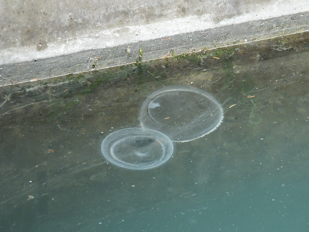
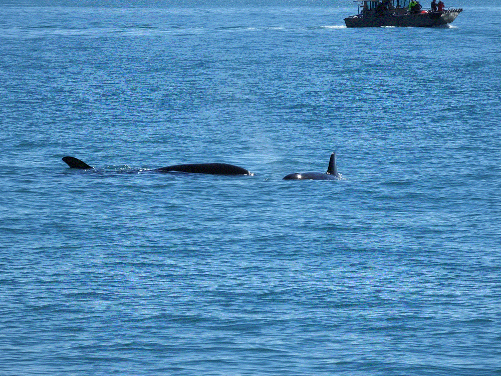
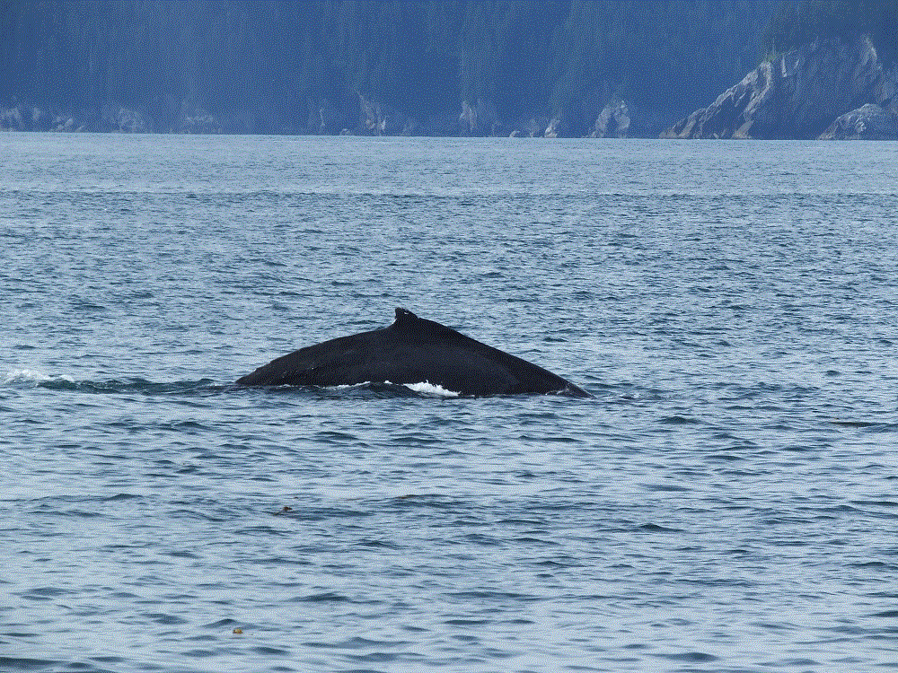
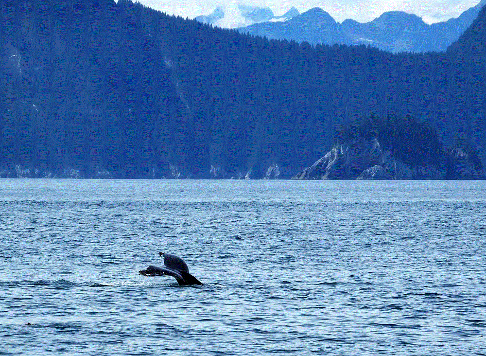
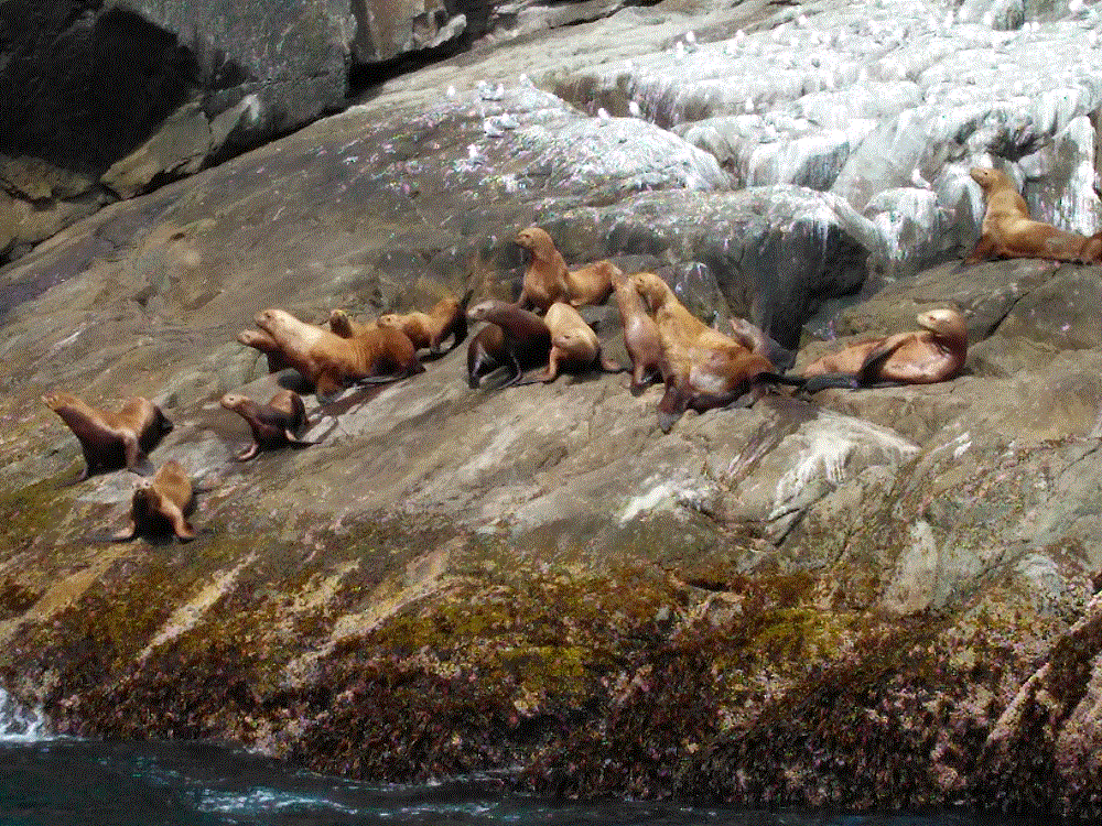
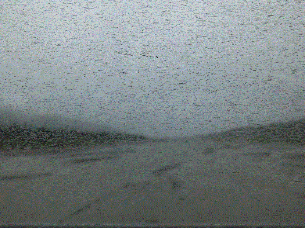
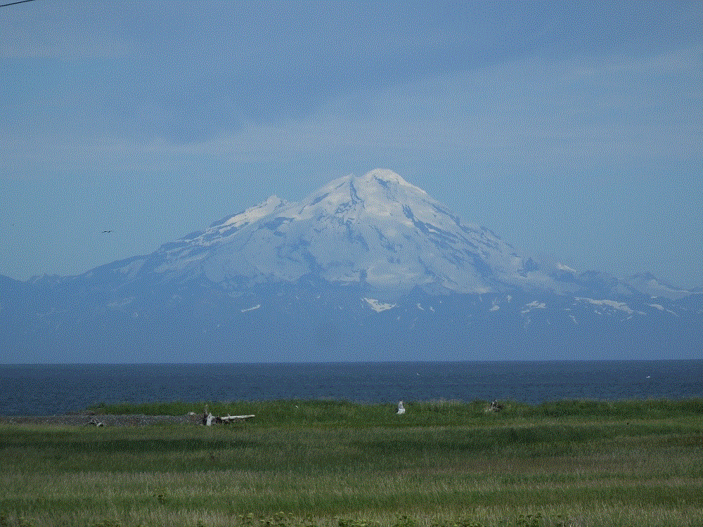
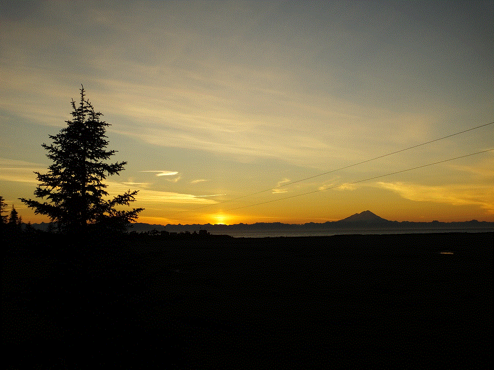
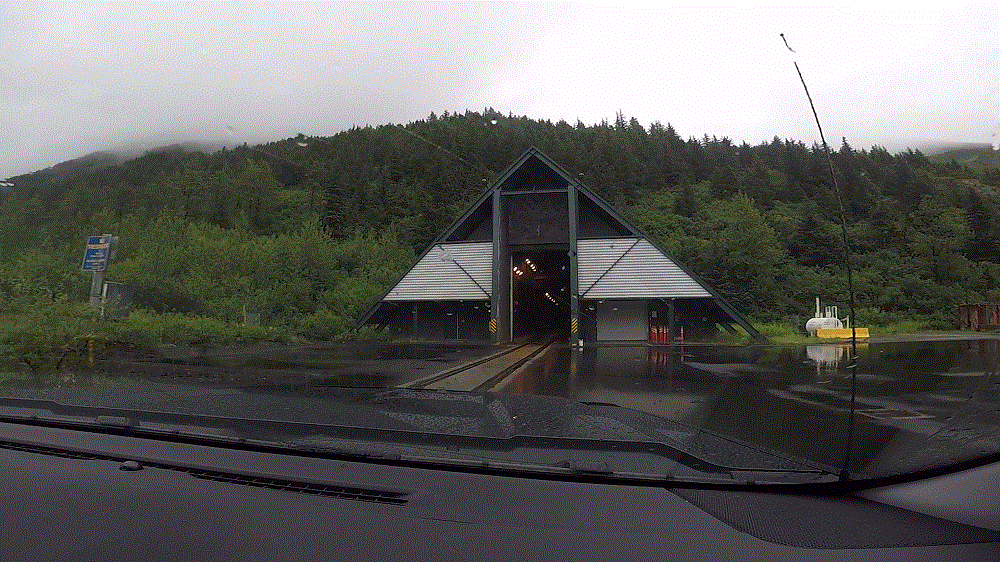
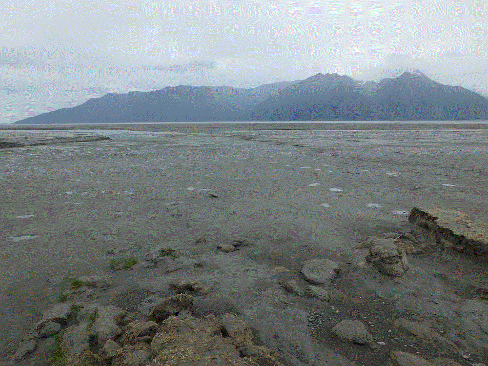
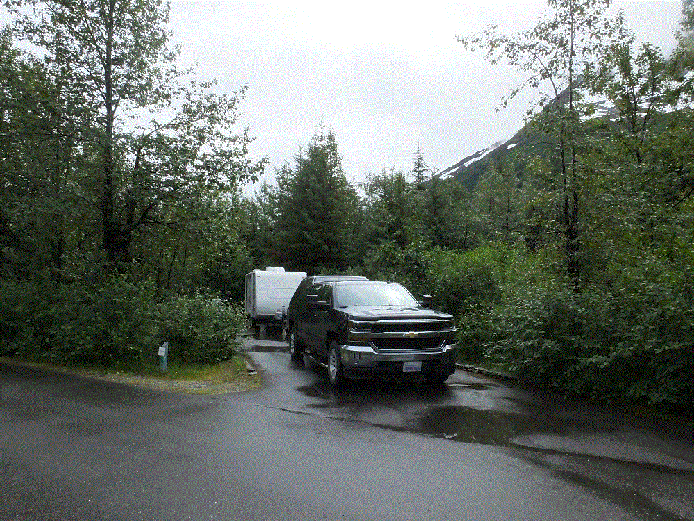
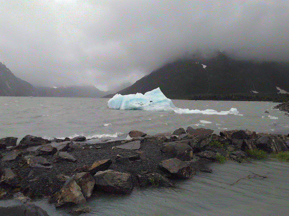
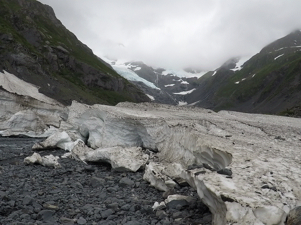
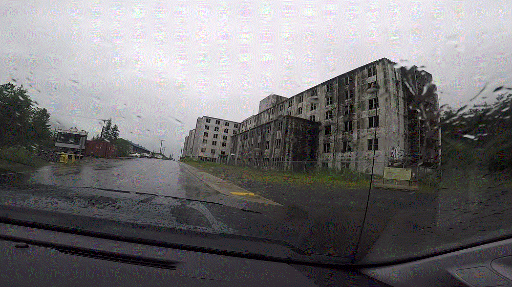
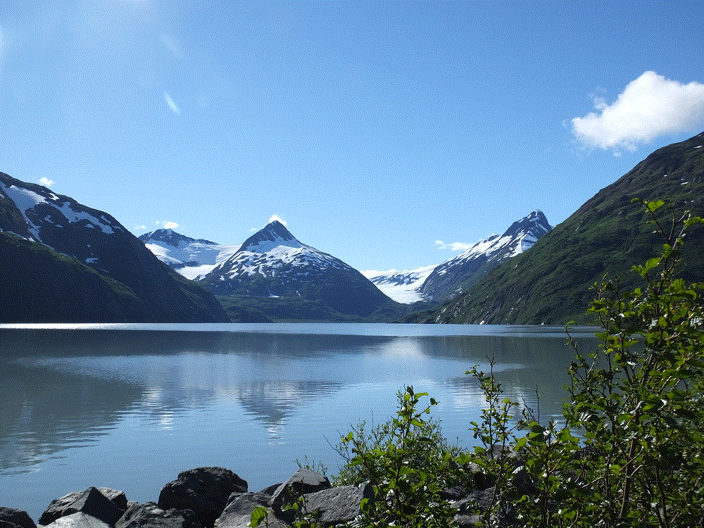
As we left, we reflected on two wet days in the area.  We now refer to Whittier as wettier and we find the meaning of Williwaw to be rather ironic.  A williwaw is a sudden violent squall blowing offshore from a mountainous coast.

      Ahead – we learn what all the spitting is about in Homer…

      Anchorage Life

      (2018 Alaska Ep 34)

      On Monday, July 2 we left Valdez for Anchorage (RabbiTRAILS Alaska Map, pt #38).

      With nearly 300,000 people, Anchorage is the first city since Edmonton three weeks earlier.  The city has high rise buildings, four-lane limited access highways, a very busy major airport, just about every chain store and fast food restaurant imaginable including real Super Walmarts and Fred Meyer, the cheapest gas since leaving the lower 48, and homeless people.

      We camped next to an industrial area just north of downtown.  Although the campground didn’t have a lot of fancy amenities, it was very conveniently located about five blocks from the downtown area.

      We enjoyed a US Army band during Fourth of July celebrations in a city park and the Anchorage Farmers’ Market and Festival in large parking lot, both less than five minutes away.  We connected with several bike trails crisscrossing the city.   The weather was clear and unusually warm by Alaska standards – about 80 during the day and 60s at night.

      Look west from Anchorage and you’ll see the Cook Inlet and distant mountains. Closer to the east are the mountains of Chugach State Park. We drove 30 miles to hike a state park trail along the Eagle River.  The destination was a waterfall on one of the forks of the river.  We had to settle for a soaring eagle and sunny picnic lunch on the riverbank when we couldn’t cross the river due to swift and deep water.

      We fared better with Anchorage Bike trails.  Named for a former Alaska governor, the Tony Knowles Coastal Trail extends 11 miles from downtown along the Cook Inlet.   It parallels the Alaska Railroad for a couple miles and then goes through various wooded areas, wetlands and open fields.  We were told Denali could be seen on a clear day from one open area, but haze kept us from seeing the high one on that day.

      On another day we rode the Chester Creek trail after connecting via the coastal trail.  Moose had been spotted in the area (we didn’t see any) and salmon spawn in the creek (wrong time of year).  Nonetheless, we enjoyed the shaded trail as it wound several miles across the city.

      We saw and heard large jets as they landed and took off throughout the day.  Because of its location, Anchorage is a major air hub for global shipping and Alaska tourism.

      2018 Alaska Trip 2281 - 1807031814

      Many tourists take the Alaska Railroad north to Denali and Fairbanks, and then return south to Seward or Whittier to cruise to Seattle or Vancouver.  Three northbound passenger trains in the morning  and three southbound passenger trains in the afternoon passed within 100 yards of our campground.  The train horns – two long, one short and one long – were very loud!

      Our time at Anchorage came to a close as we left for Whittier on Monday, July 9.  The weather was about to change.

      A Little Valdez History

      (2018 Alaska Ep 33)

      2018 Alaska Trip 2099 - 1806271743
      Oil pipeline storage and ships seen from across the sound

      Most people know about the Exxon Valdez oil spill.  At 12:04 am on March 24, 1989, the 987 foot long oil tanker Exxon Valdez stuck Bligh Reef on Prince William Sound near Valdez.  Eight of the 11 tanks on the ship were punctured spilling nearly 5.8 million gallons of crude oil in three hours.  Later reports put the total spill at 10.8 million gallons.

      Due to the area’s remote location, and a slow and uncoordinated response, the environmental impact was devastating.  There was a massive cleanup effort of hundreds of miles of shoreline by thousands of persons.  29 years later, many of the affected animal species have recovered, but there are still significant lingering effects of the spill.

      Valdez was not directly impacted by the spill – it is 27 miles from Bligh Reef.  But the resulting media and environmental attention had a major impact with more than 10,000 persons overwhelming the town of 4100.

      Valdez has not fared well in March.

      During the afternoon of March 27, 1964 the ground began to shake and continued for nearly five minutes.  The Good Friday Earthquake, as it has come to be known,  measured at 9.2 on the Moment-Magnitude scale, the largest ever recorded earthquake in North America and second largest in the world.

      The earthquake significantly impacted Valdez, Anchorage, other towns in Alaska, and coastal areas as far south as California, as well as Hawaii and Japan.  The epicenter was about 45 miles west of Valdez.

      32 persons were killed in Valdez from the waterfront sliding into the sea and a 30-to-40 foot tsunami that followed.

      Valdez was badly damaged and was moved to its current location three years later.

      Old-New Valdez

      The Valdez Museum has engaging exhibits on both the oil spill and earthquake.