(2018 Alaska Ep 28)
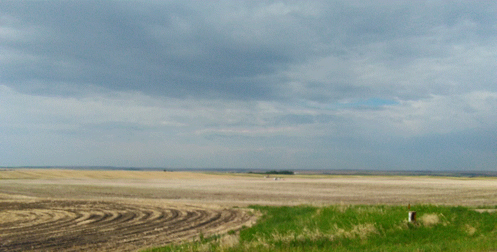
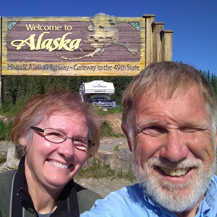
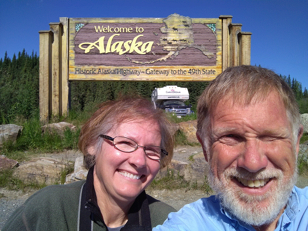
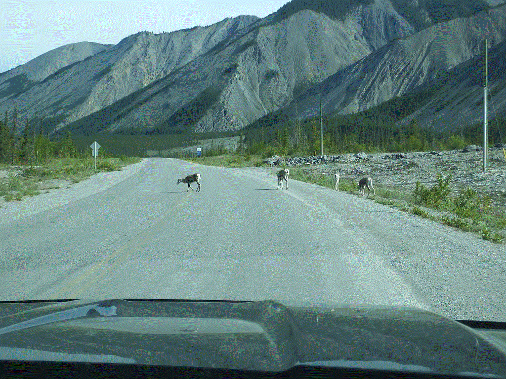
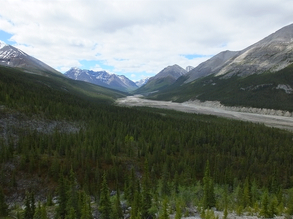
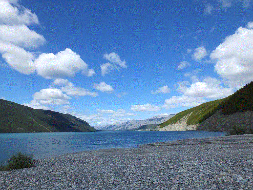
We continued from Watson Lake (RabbiTRAILS Alaska Map, pt #32) to Whitehorse (map pt #33) on June 18 – past boreal forests, catching glimpses of snowy mountains in the distance.
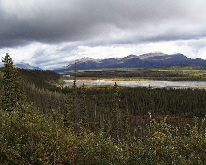
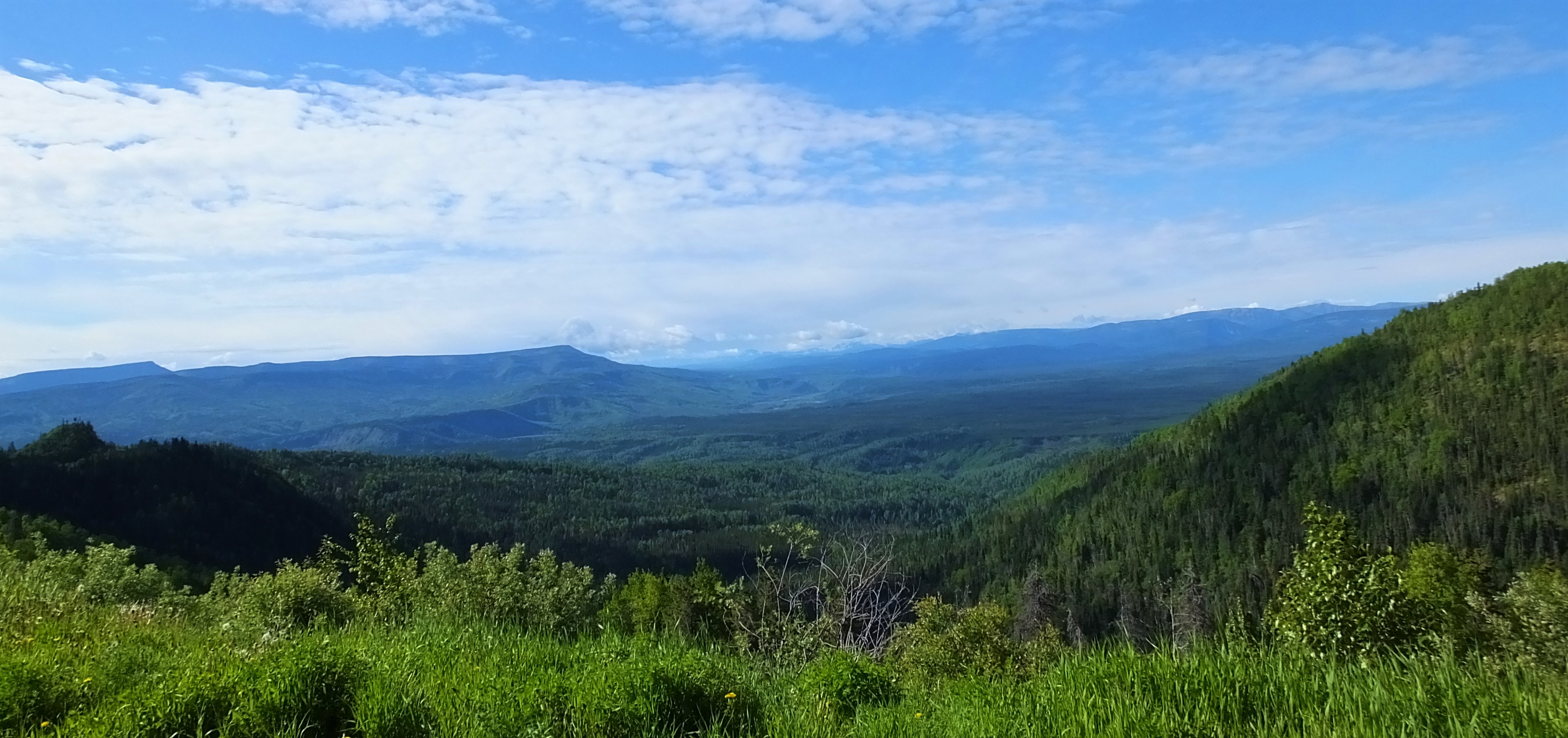
Alaska Highway and Yukon guides, and numerous information displays along the road reference the term boreal – we wondered about the meaning of the word.
A boreal climate is characterized by long winters and short, cool to mild summers, and is just south of the Arctic. We have been fortunate that our Alaska Highway trip has been very pleasant with little or no rain.
A boreal forest is characterized by coniferous trees – we have driven by miles and miles of spruce and pine trees. Sizes vary, with shorter trees in areas of past forest fires or flat areas where permafrost keep tree roots very shallow stunting tree growth.
There are also stands of aspen and other broadleaf trees. Perhaps we will see leaves changing when we begin the trip home in early September.
Our fears of the condition of the Alaska Highway have generally been unfounded. The road is in good shape, with few rough areas and occasional road construction. Road construction is extremely dusty – the dust gets onto and into everything.
Alaska Highway road construction is a short video that shows typical road construction on the Alaska Highway. Note the dust clouds created by the vehicles ahead! (this is an experiment – it may take a moment to load. Please let us know in the comments if the video works for you)
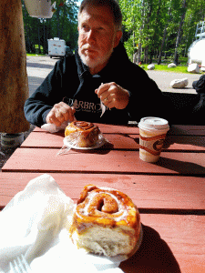
The long road has taken its toll. When we stopped for lunch we discovered the bathroom medicine cabinet fell off the wall! There was no damage other than four gaping holes in the wall where the screws that held the cabinet pulled out and various items strewn all over the floor.
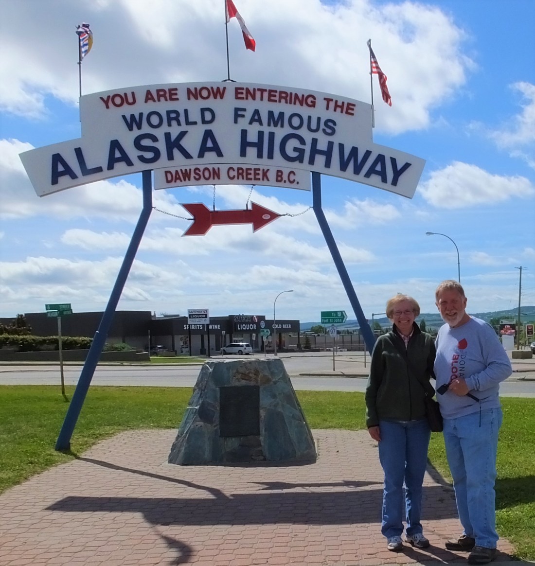
At the end of the day we arrived in Whitehorse, the capital and largest city in Yukon with about 25,000 residents.
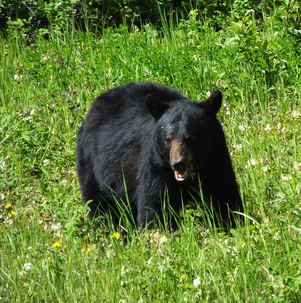
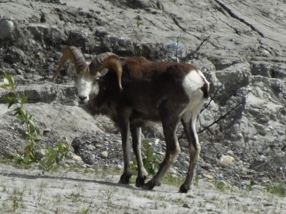
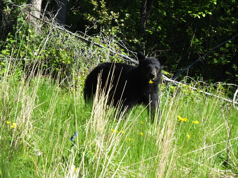
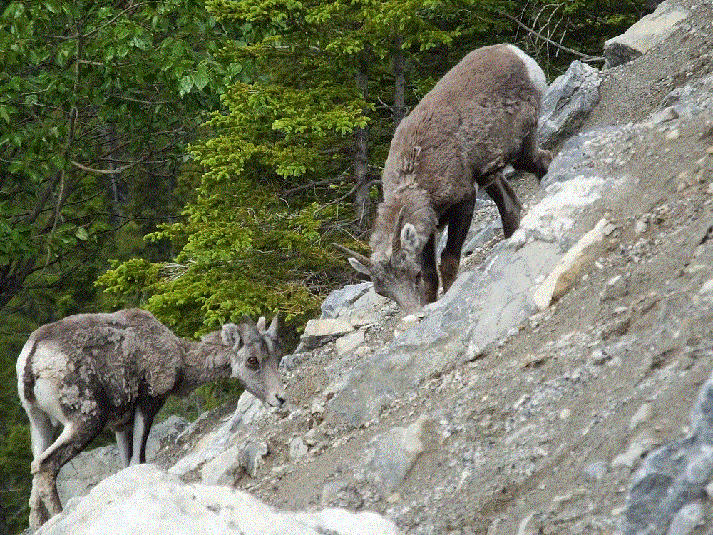
Critter Count Day 4 (Watson Lake to Whitehorse)
- black bear – 4
- grizzly bear – 1
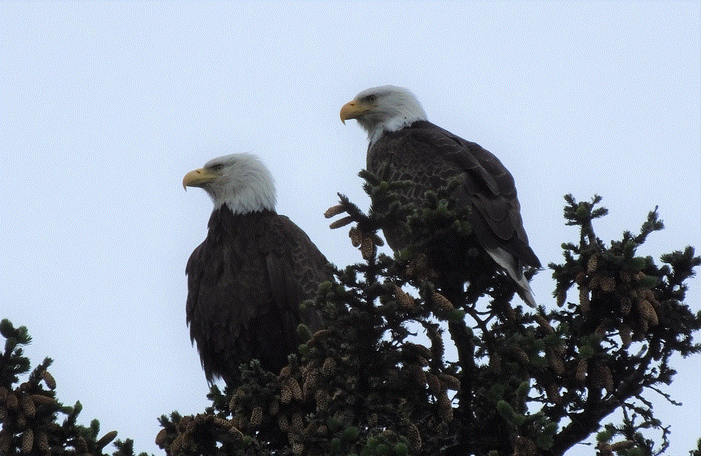
- bald eagles – 2
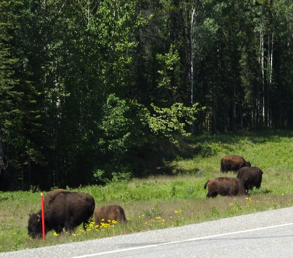
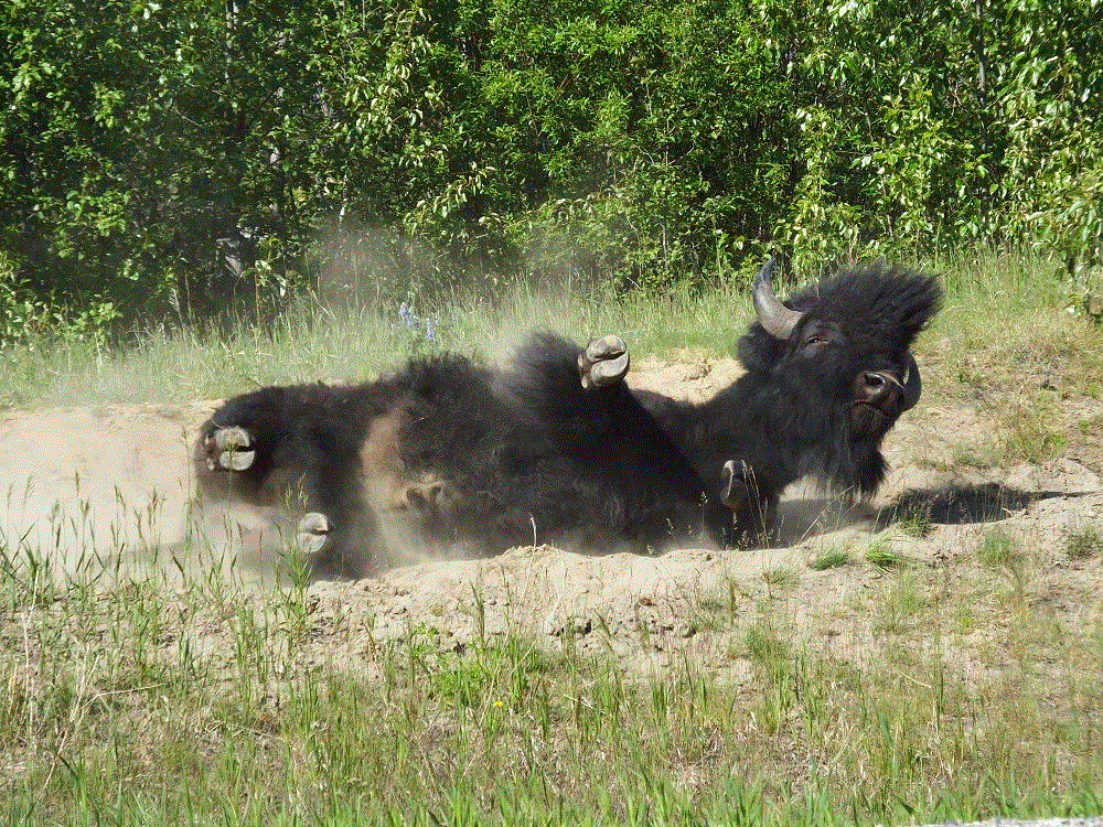

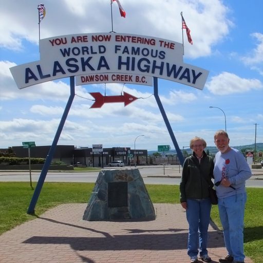
 Critter Count Day 1 (Dawson Creek to Fort Nelson)