(2018 Alaska Ep 48)
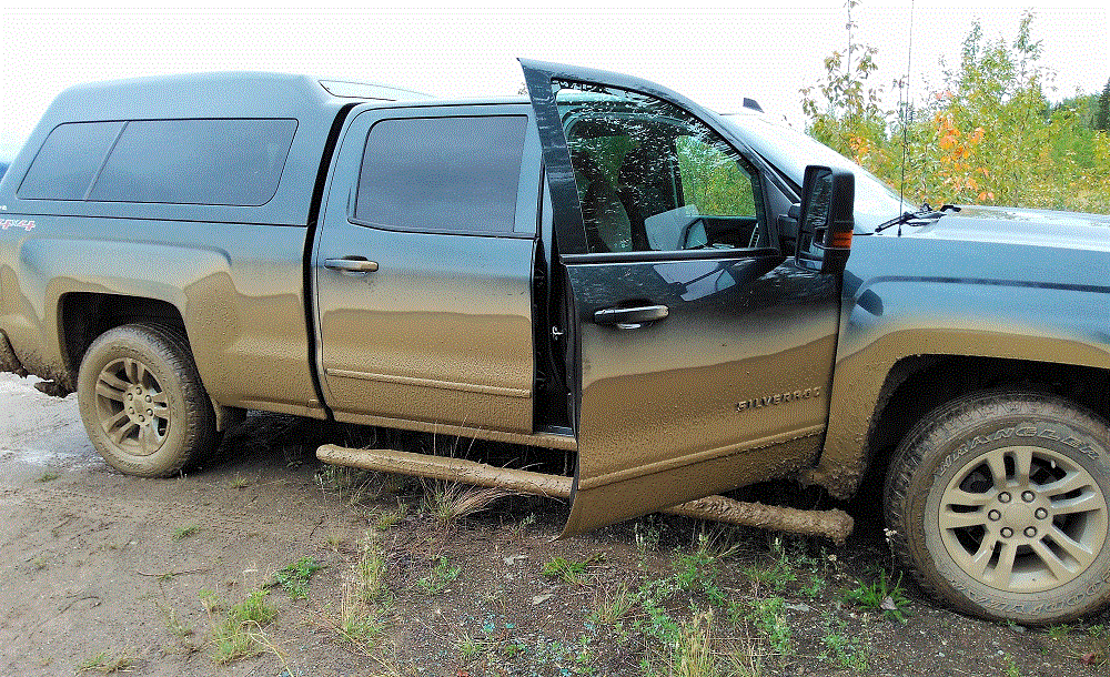
We arrived home on Monday, October 8 – after 177 days and 22819 miles. We are getting things put away, cleaning a LOT of Alaska dirt and bugs off the truck and camper, and catching up on house maintenance chores.
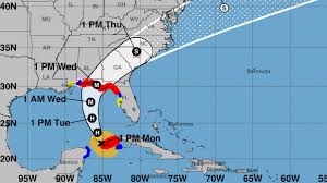
Our welcome home was not quite what we expected – Hurricane Michael hit Florida Wednesday afternoon. Thankfully, the impact to us was minimal. Our prayers go to the many people affected by this serious storm.
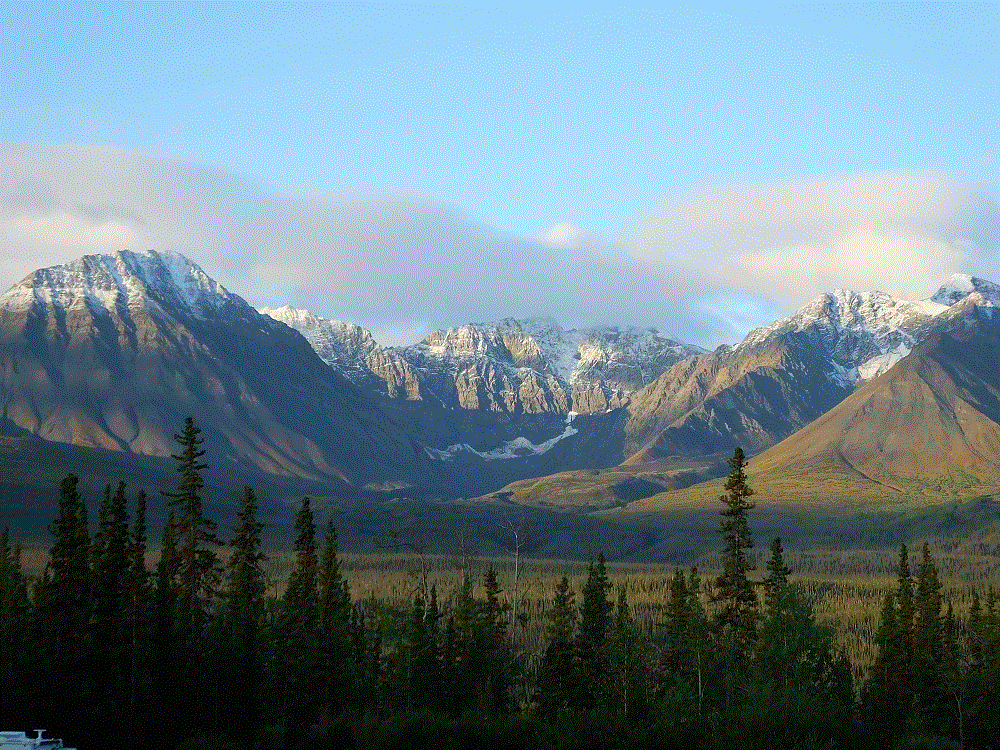
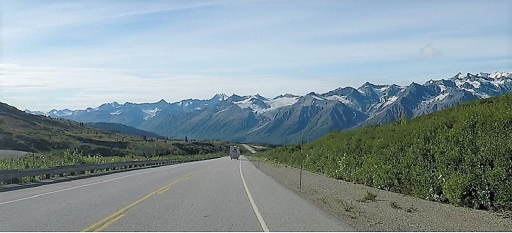
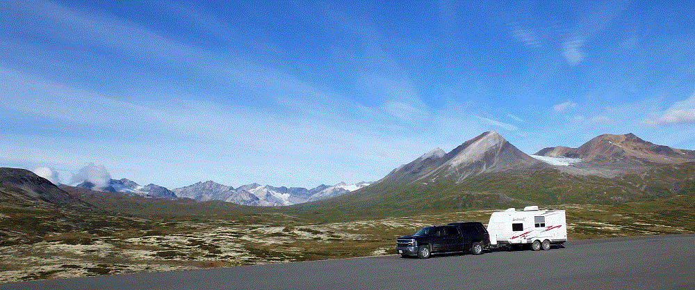
Since our previous blog post, it took about a month to make our way from Bellingham, Washington to Florida. Our pace was slow and steady as we enjoyed various sights along the way.
- while in Bellingham (RabbiTRAILS Alaska Map, pt # 58), we visited camp friends on Vancouver Island and Lynden, WA. We also visited Pat’s cousin – whom she had not seen in more than 30 years!
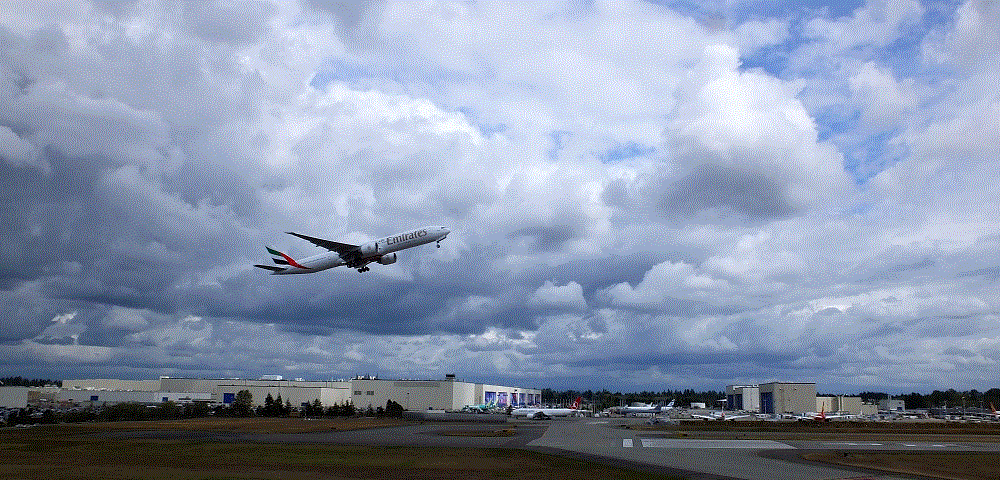
- we also toured Boeing aircraft facilities north of Seattle. The place is HUGE.
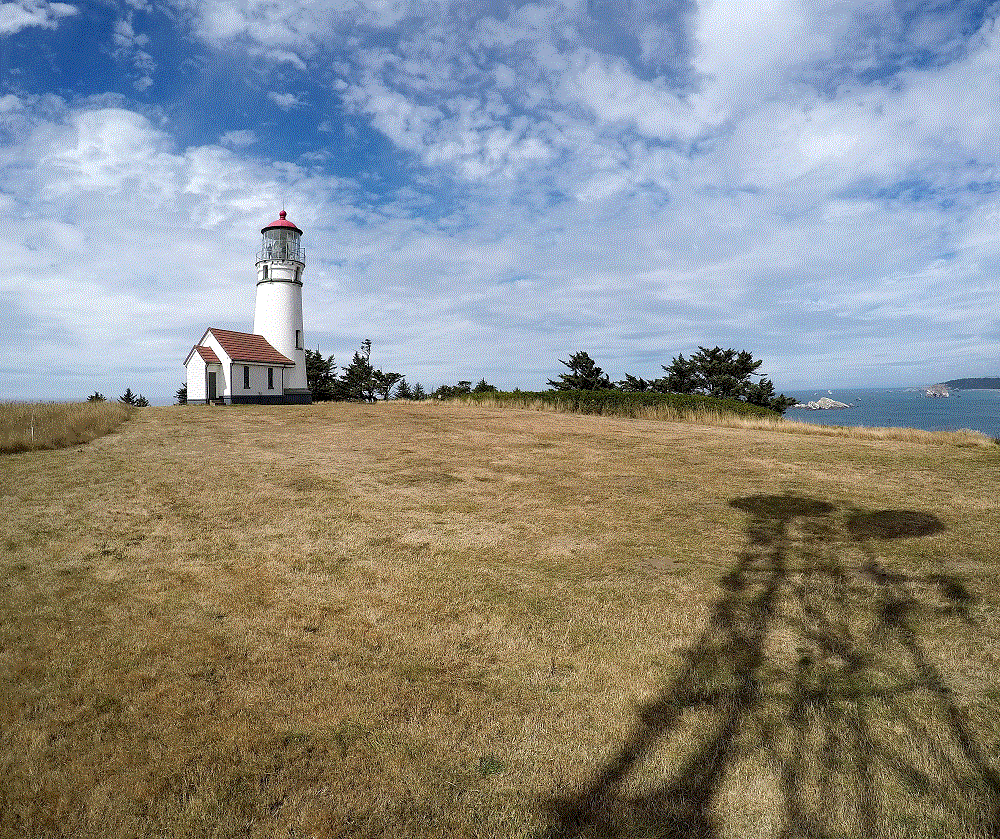
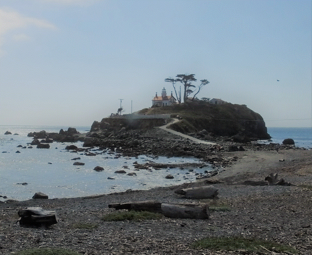
- we headed south along the Washington, Oregon and California coasts, and visited a couple interesting lighthouses (map, pts #59-63).
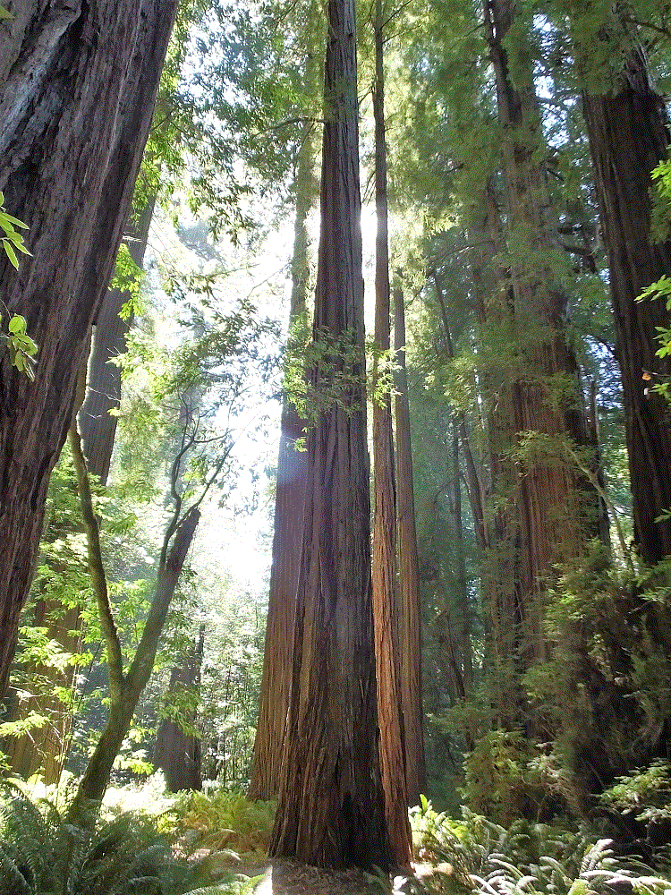
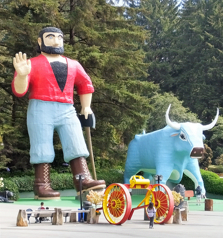
- in California we were awestruck by the huge redwoods at Redwood National Park (map, pt # 63). A giant Paul Bunyan and his blue ox Babe kept watch at the nearby Trees of Mystery tourist attraction.
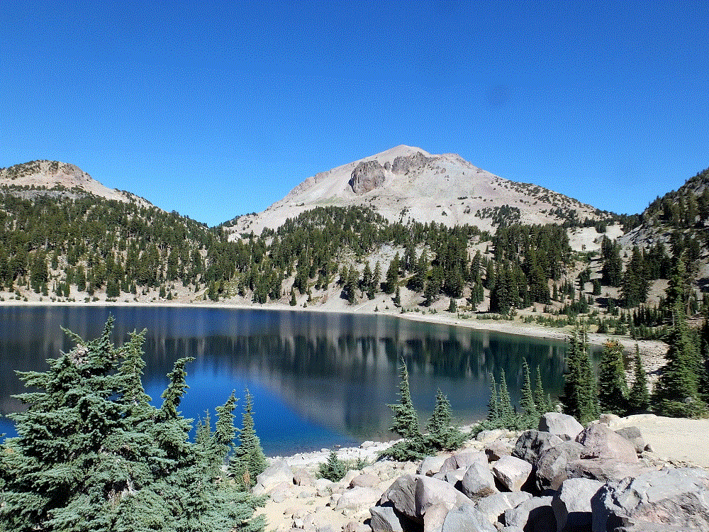
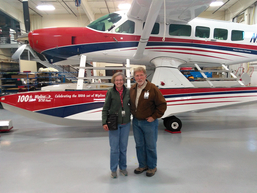
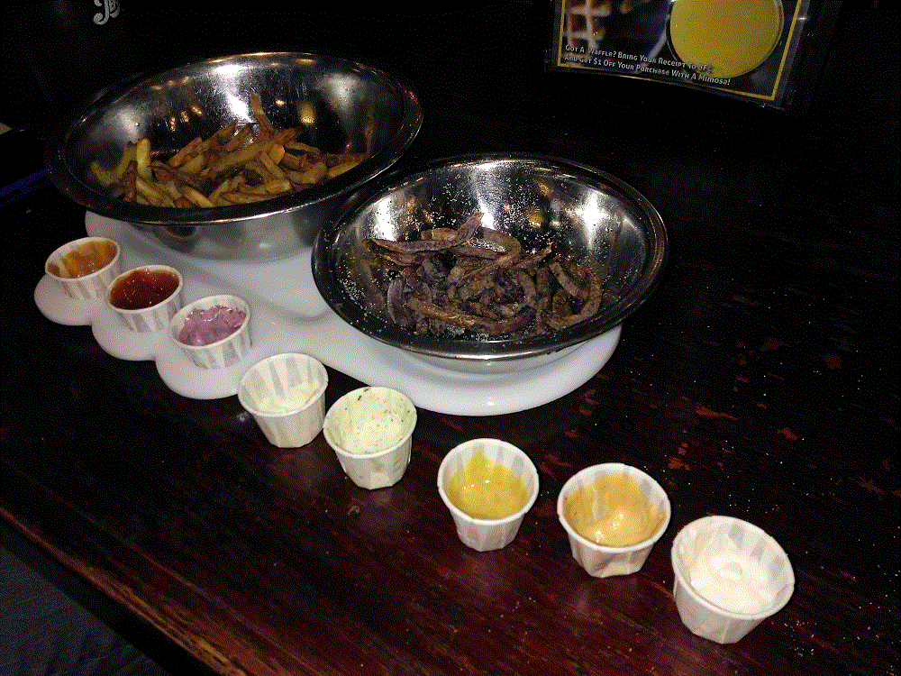
- after touring the redwoods, we drove east to Lassen Volcanic National Park (map, pt # 64) and then to Boise, ID to visit Mission Aviation Fellowship. While in Boise we sampled Idaho potatoes at the Boise Fry Company (map, pt # 66).
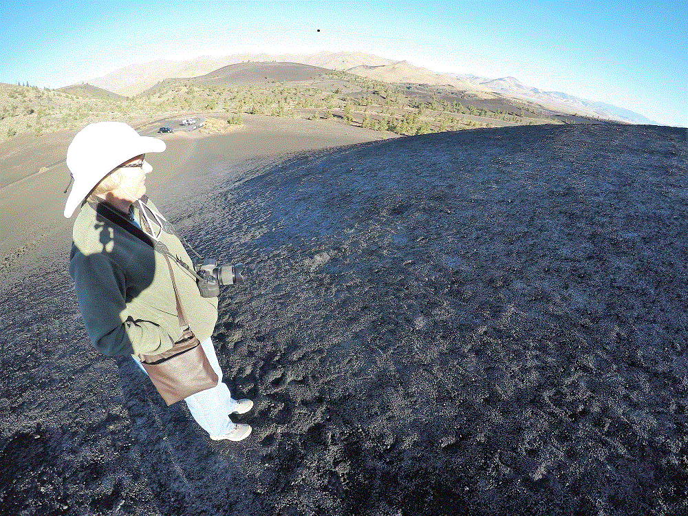
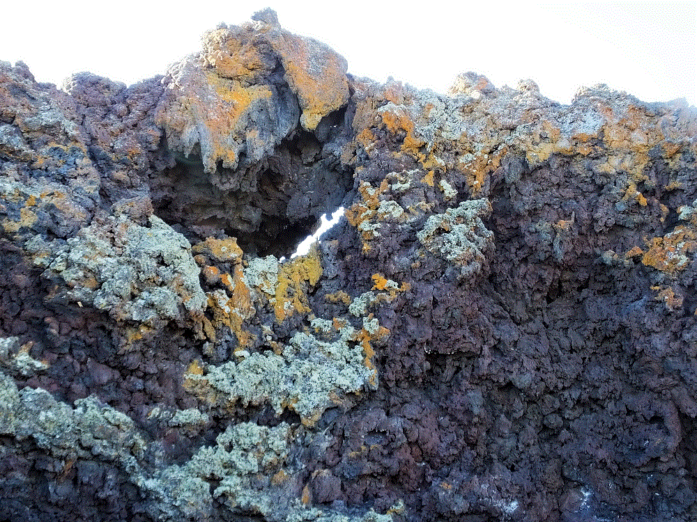
- we continued east, spending a night in Craters of the Moon National Monument (map, pt # 67). Several days later we visited church friends near Minneapolis, MN (map, pt 70).
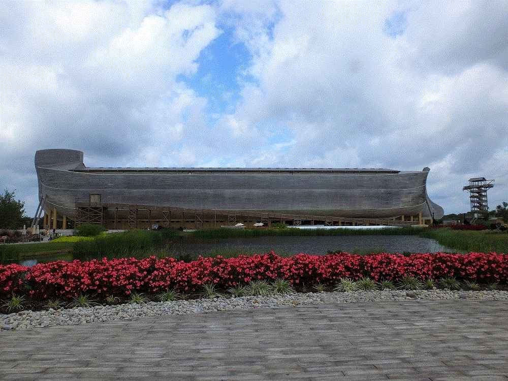
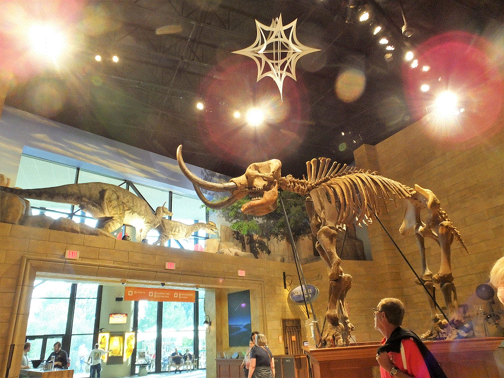
- continuing east and south, we spent a night in Illinois and then visited the Ark Encounter and Creation Museum just south of Cincinnati (map, pt # 72).
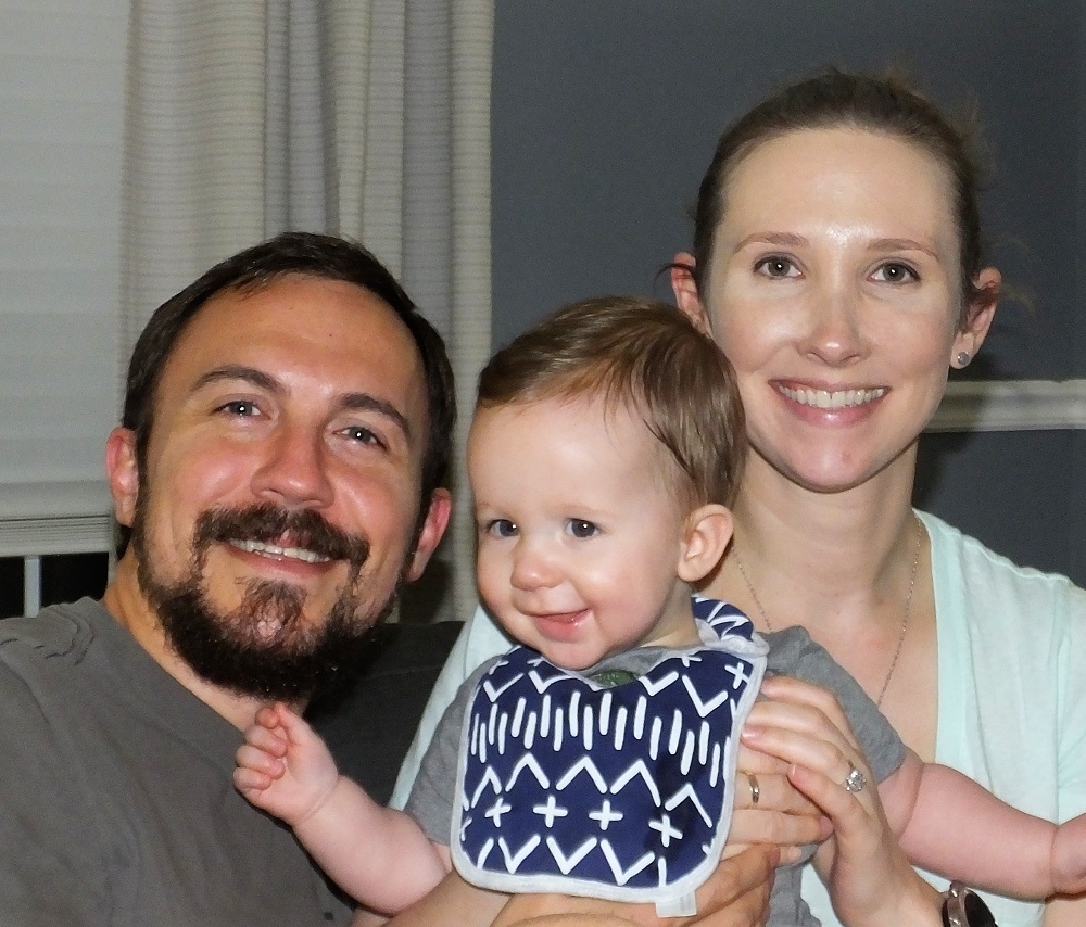
- after another night on the road near Chattanooga, we spent three nights near Warner Robins, GA and caught up with our daughter, son-in-law and nearly nine-month-old grandson, Henry (map, pt # 74).
Many thanks for following us on this journey, and for your prayers and comments along the way.
Watch for new topics on the RabbiTRAILS blog, including National Parks, bike trips, trip planning, interesting things seen along the way and more. Eventually we will include links to videos of our experiences.
Until then, many blessings and interesting RabbiTRAILS to you. Remember to take the LONG ROAD!