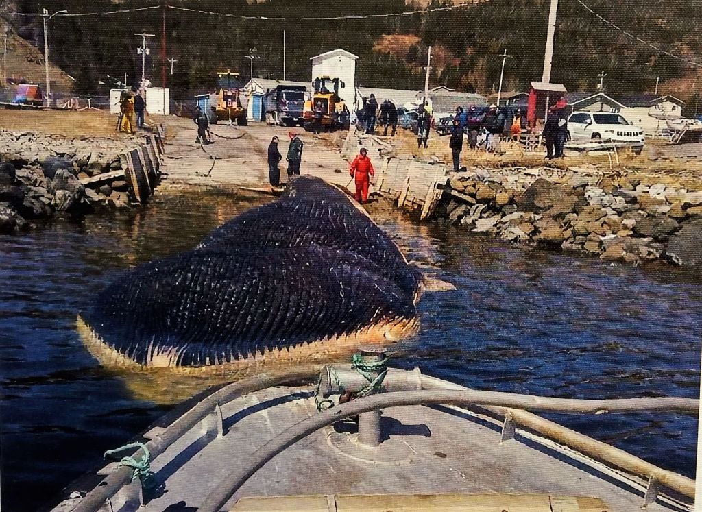
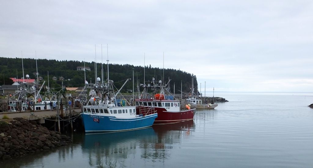
(2022 Newfoundland Ep 10)
Hello all, as with most travel blogs, RabbiTRAILS postings lag real time by several weeks. In blog time, the next post will be about St Johns, NF.
Meanwhile, it is Sept 24 real time and we’re safely back on ‘mainland’ Canada close to the Maine border.
The last eight days have been tough. We’ve prayed, we’ve been patient and we’ve been blessed.
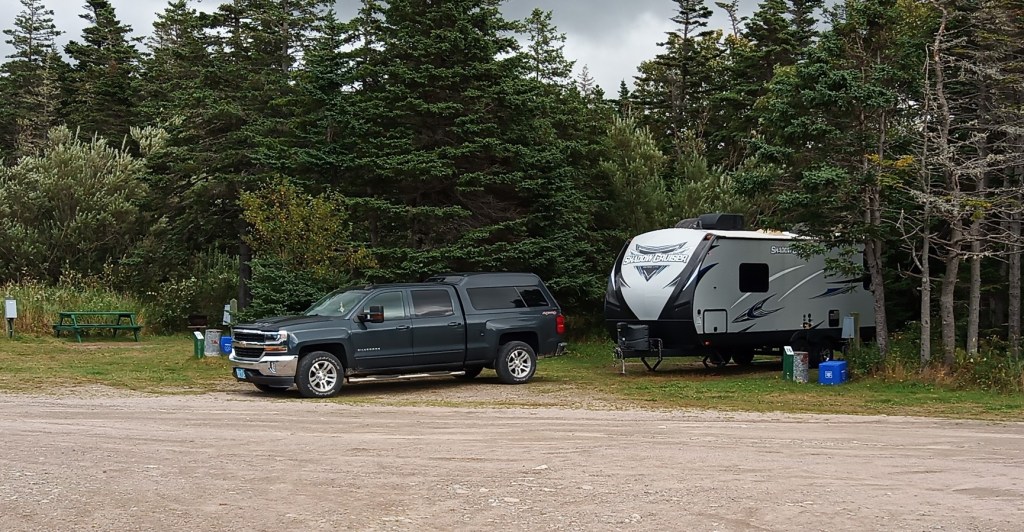
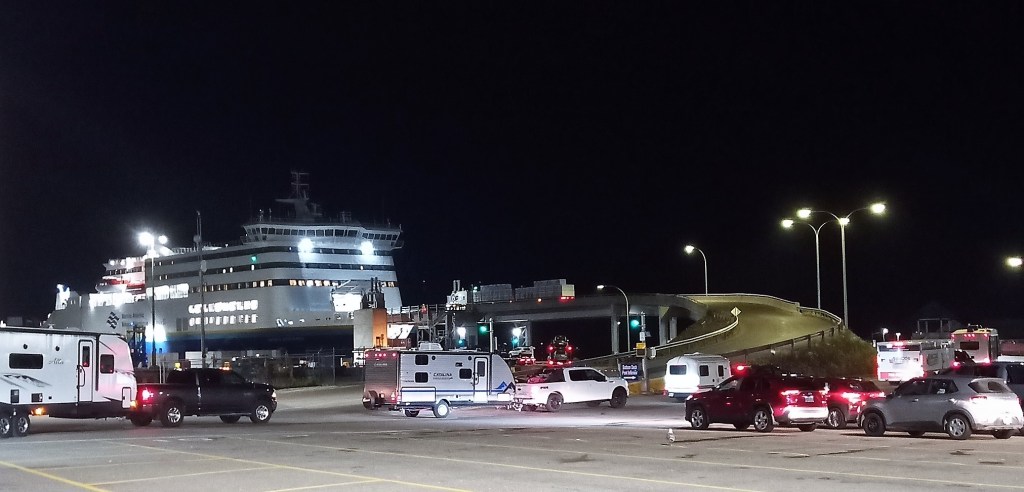
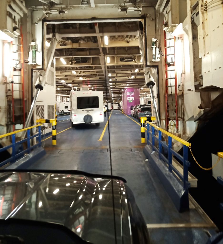
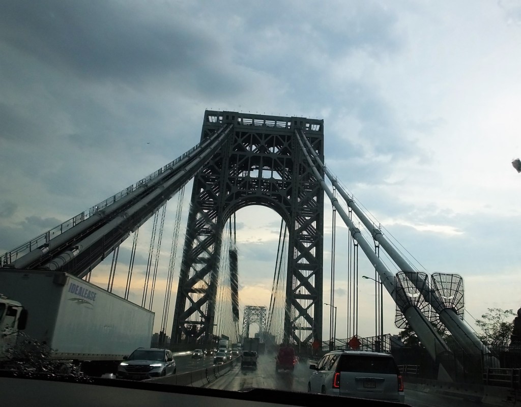
On Friday, Sept 16 we rose early to prepare to board the seven hour ferry back to Nova Scotia, after six weeks on Newfoundland. When I started Max to hitch to Oscar, I heard an unusual tapping sound in the engine. The tapping continued as I revved the engine. Then the check engine light came on.
Pat and I prayed for wisdom about what we should do. We didn’t want to give up our reserved slot on the ferry as a number of people at the campground had been waiting for several days after several recent ferry cancellations (including the ferry from the prior evening). In addition, the Chevy dealer in Port aux Basques (ferry departure town) was very small and we were concerned about repair timeframes and availability of parts.
We decided to ride the ferry and take Max to a dealer Sydney, Nova Scotia, a sizeable town near the ferry landing. We tried to make an appointment online with the dealer as we waited to board the ferry – the next available appointment was Sept 26. So, we called and left a message on the service department voice mail explaining our desperate situation. A few minutes later they returned our call and we set an appointment for 9:30 am on Monday, Sept 19.
As we drove onto the ferry, the tapping continued but the check engine light was no longer on.
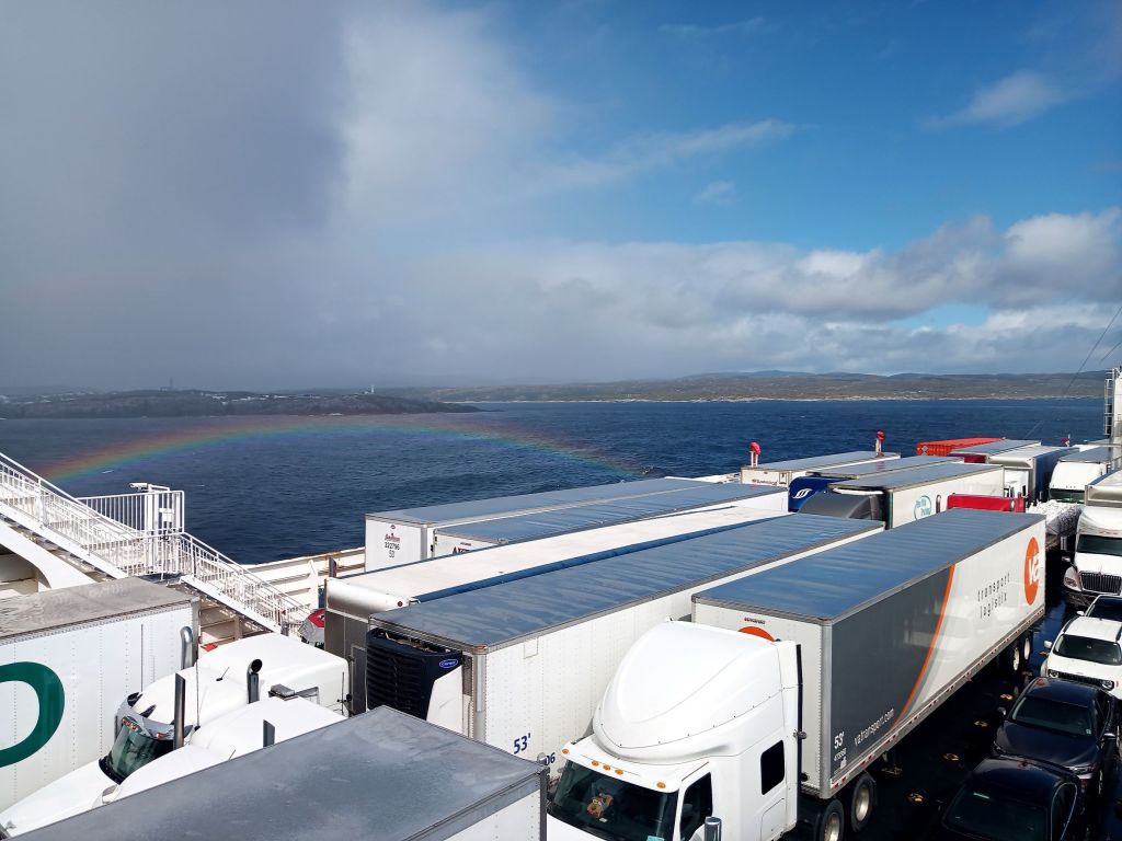
The ferry arrived at North Sydney early Friday evening. We camped nearby and didn’t drive Max over the weekend.
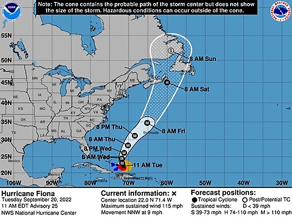
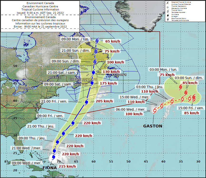
Meanwhile, Hurricane Fiona was in the news. After hitting Puerto Rico and the Dominican Republic, the storm was forecast to remain in the Atlantic, to intensify and to possibly impact Canada late in the coming week.
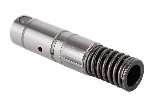
On Monday morning, the Chevy service advisor gave us bad news about Max. The valve lifters for #1 and #4 cylinders were damaged and needed to be replaced. They recommend replacing all eight valve lifters.
The lifters weren’t in stock but we were told a dealer in Halifax, NS might have them. The Sydney dealer hoped to complete the repairs by late Tuesday .
A little later the service advisor told us the parts weren’t available after all and couldn’t be located elsewhere. The dealer would have to order the parts and it could take two days to two weeks (or longer) for the parts to come in.
Monday’s updated Fiona projection was a track toward Sydney, at the northeast tip of Nova Scotia, sometime late Friday evening or early Saturday morning.
Pat and I prayed, and then called the Chevy dealer in Halifax. They located the parts at two other Chevy dealers in eastern Nova Scotia. The parts were available at the first dealer we called and by mid-afternoon the parts were ordered! They would be picked up Tuesday morning and delivered by the end of the day.
We decided to leave Max at the dealer and the service manager, Dennis, graciously shuttled us to our campground more than 20 miles away.
By Tuesday Fiona intensified and was projected to hit Sydney late Friday with sustained winds of more than 110 mph! We were stranded with no vehicle and no way to move Oscar.
The parts did not arrive at the dealer until after closing on Tuesday. Early Wednesday morning the dealer texted us the parts had come in and repairs were underway!
The repairs were finished by 3 pm, and again, Dennis kindly picked us up at the campground to retrieve Max.
Meanwhile, Fiona continued toward Sydney with no significant change in projected path or strength. The storm was projected to have devastating impact on the area.
We left Thursday morning with Max happily purring and were surprised the highways weren’t crowded. We drove nearly 500 miles westward over the next two days, and we have been in Grand Falls, New Brunswick, as Fiona hit Nova Scotia early this morning. It’s been very windy and cold all day. Skies began to clear this afternoon.
Fiona is said to be the worst hurricane ever to strike Canada. Many on Nova Scotia, Prince Edward Island and western Newfoundland have lost power, and there has been widespread wind and flood damage. Please join with us as we pray for the many persons affected by Fiona in Canada and the Caribbean.
Pat and I praise God for His provision and protection over the last eight days:
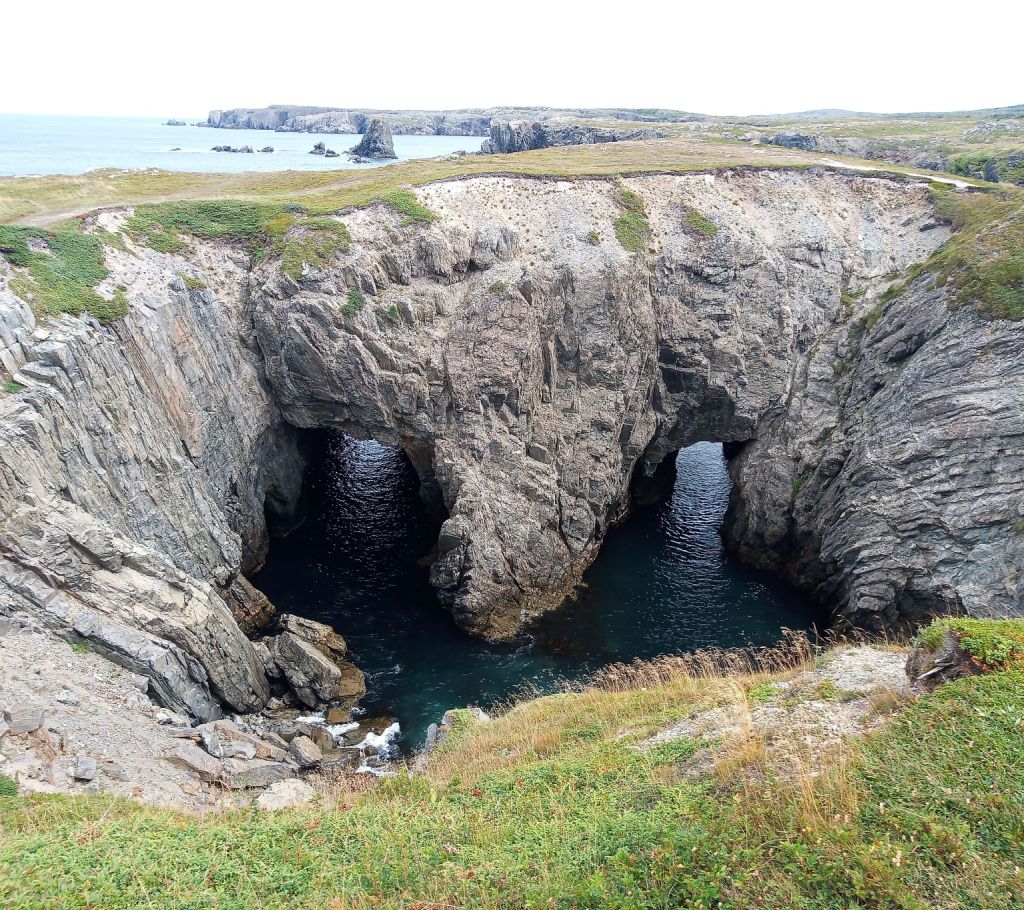
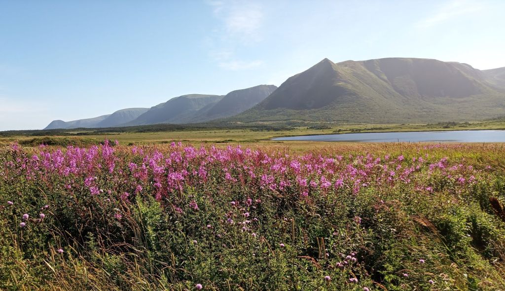
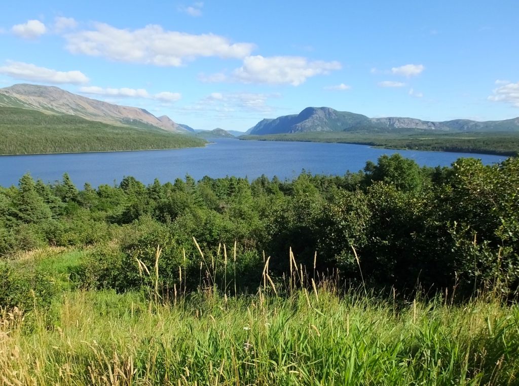
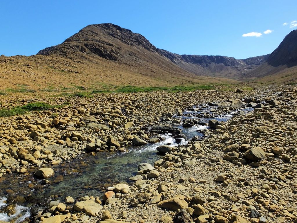
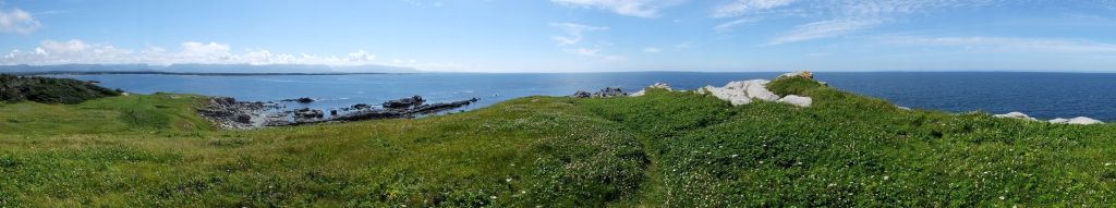
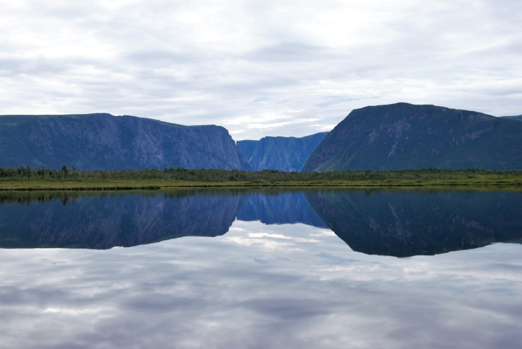
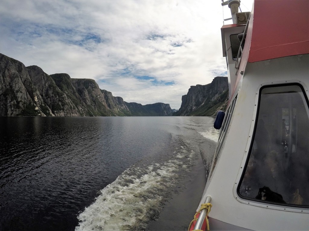
- we had just completed a six week, 3000-mile trip across Newfoundland, much of it in very remote locations. The problems didn’t occur until our the last day on the island.
- we were able to quickly locate available parts.
- Dennis and others at the Chevy dealerships worked to successfully resolve our dilemma.
- the campground manager was remarkably flexible as we renewed our site several times and great campground facilities made five days of being stranded bearable
- friends and family who prayed for our situation and offered timely encouragement.
We’re thankful for the opportunities God gives us to trust Him and develop faith, and pray that our thoughts, attitude and actions bring Him glory! This was true for Max’s repairs and Hurricane Fiona, and is true now for Ian, as it targets Florida this coming week.
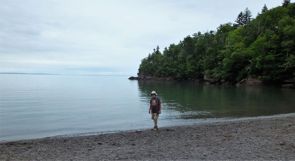
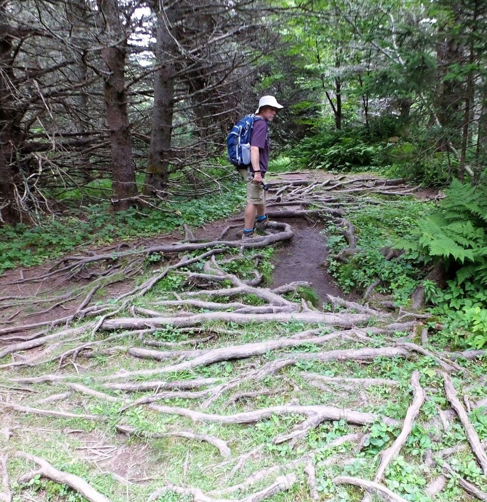
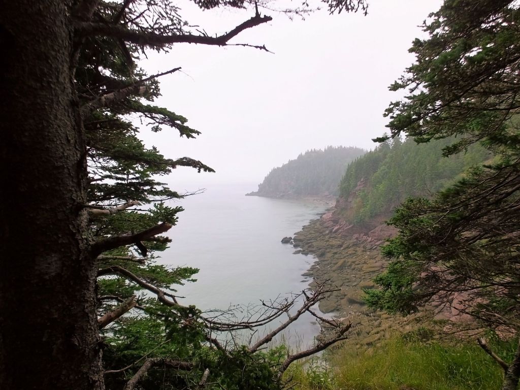
Next week: we return to blog time for Jellybeans, a cliff trail and a first sunrise in North America during our St. Johns visit.