
Mountain Views and Sea Swept Vistas

(2022 Newfoundland Ep 6)
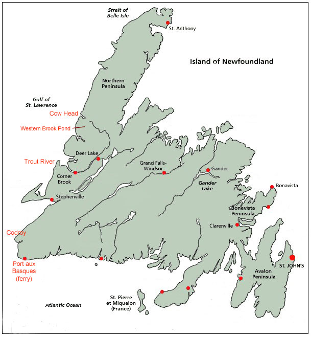
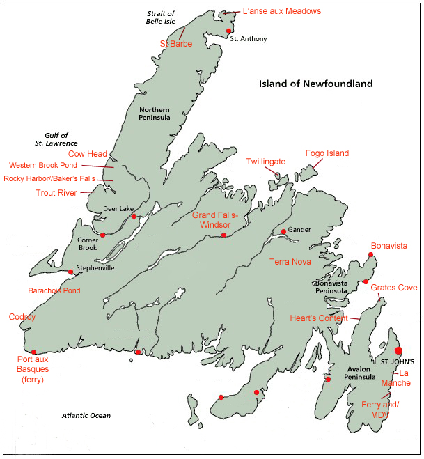
Map of Newfoundland showing some of our stops

We arrived on Newfoundland (NF) early on August 6 after a redeye ferry ride from Nova Scotia.  At a gravel parking lot a few miles from the ferry landing, we cooked breakfast and viewed the Long Range Mountains to the east.  The range is an outlying extension of the Appalachian Mountains – western NF is surprisingly mountainous.
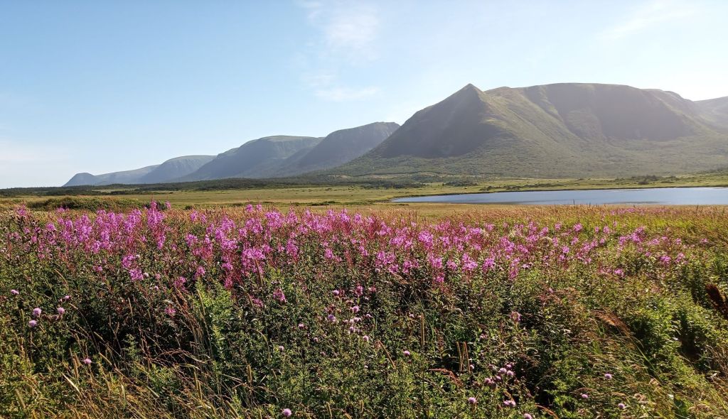
View of Long Rang Mountains across a field of fireweed flowers

We continued to our campsite overlooking the Codroy Valley.  After resting for most of the day, we completed the August 7 RabbiTRAILS blog post.
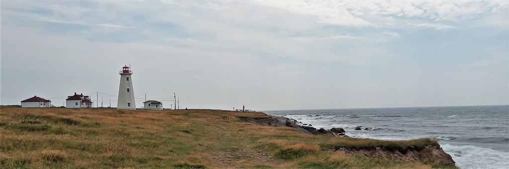
Cape Anguille Lightstation

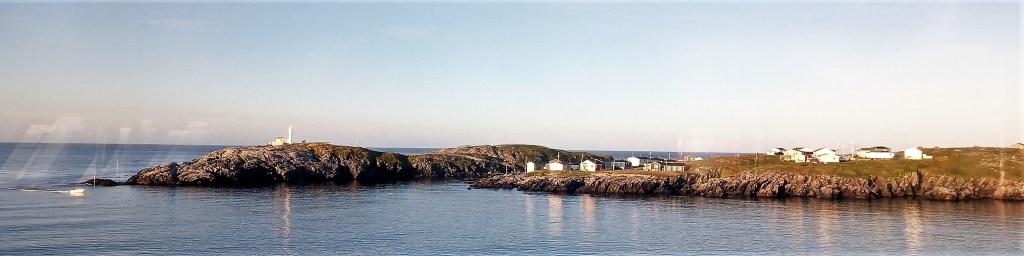
The next morning we drove around the sparsely populated area and visited the Cape Anguille Lightstation on the westernmost point of NF.  We ate lunch and enjoyed the solitude of the windswept place.  Later, we visited a nearby town and walked around a church that dramatically sits on cliffs overlooking the ocean.
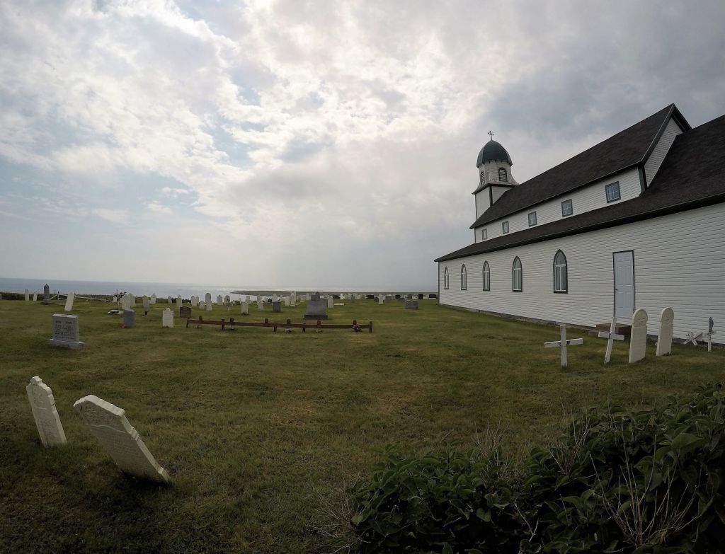
Anglican Church at Codroy

The next day our travel plans almost changed.  We were driving towards Trout River Pond in Gros Morne National Park.  As we neared Corner Brook, the largest town in western NF, our tire pressure monitoring system (TPMS) alerted that the right rear tire on Oscar had dropped 20 percent.  We exited the Trans Canada Highway to air up the tire and to go grocery shopping.  As I was getting the inflator ready, the TPMS again alerted the tire pressure had dropped another 5 percent.  Action was needed!

Pat went shopping while I removed the tire.  I rolled the tire over to a Canadian Tire store just across the street. (Thank you, Lord!)   They were busy and couldn’t look at the tire for several hours.  Finally, they called and said they found a fishhook in the tire!  Although a careful check revealed the hook didn’t penetrate the inside of the tire, they redid the tire bead and put in a new valve stem. We’ve had no further problems with the tire. 

I guess Oscar was a big one that got away.

Our trip resumed.  We arrived at the VERY small fishing community of Trout River after 6 pm and followed signs to the nearby national park campground.  We crossed three narrow wooden plank bridges to a gravel road with lots of potholes.  The campground was nowhere in sight. 

We considered turning back to find somewhere else but decided to go a little further.  Shortly we arrived at a very nice campground, home for the next three nights.
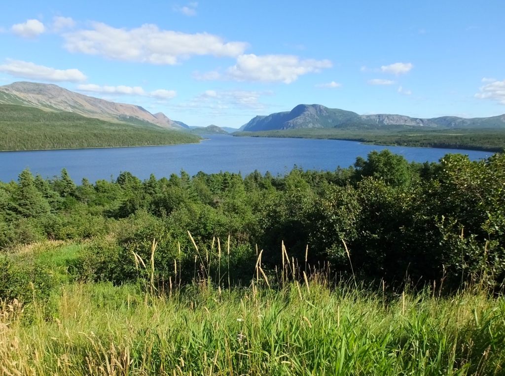
Trout River Pond, near our campground
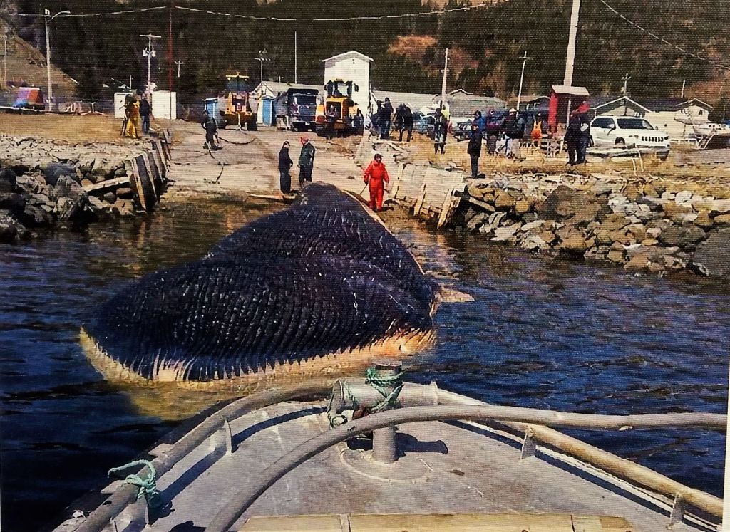
Trout River’s whale of a tale

Trout River’s ‘15 minutes of fame’ occurred in April 2014, when a blue whale carcass drifted to shore coming to rest on an icy beach near town.  By May, the ice drifted off leaving the grounded whale carcass.  After remaining on the beach for several weeks, the massive mammal was towed to another location for ‘dismantling.’   Today, the whale skeleton is on display at the Royal Ontario Museum in Toronto.
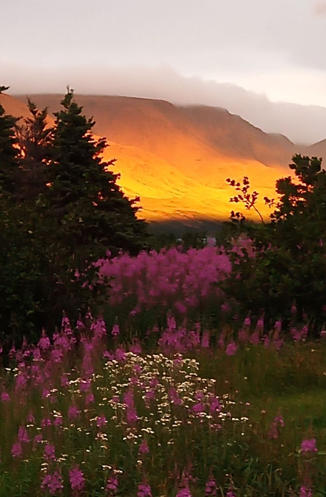
Dinnertime view of flowers and sunshine on the distant mountains
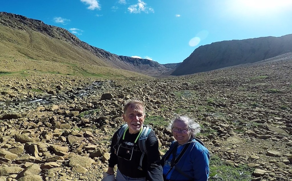
Tablelands selfie

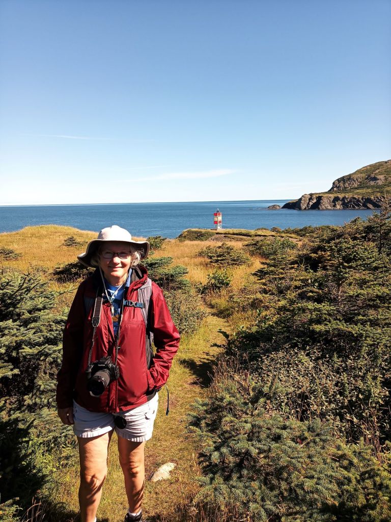
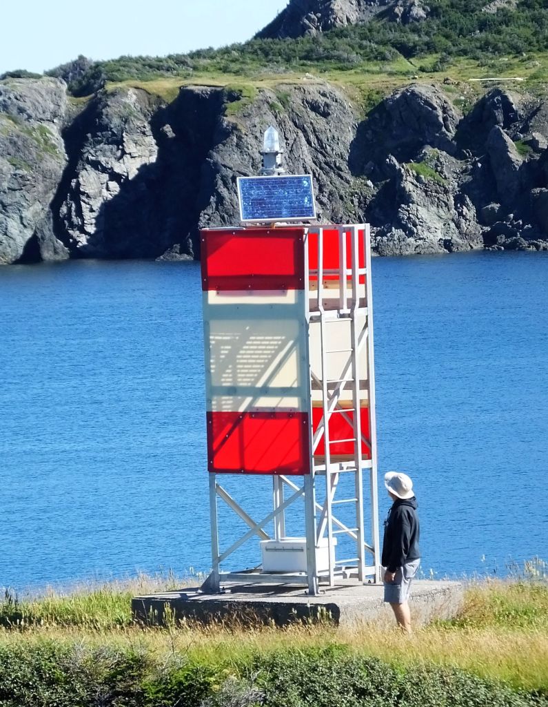
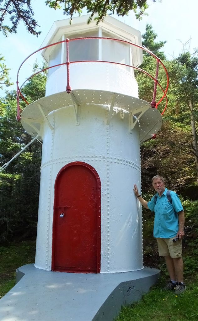
The next day was a three hike day: from Trout River, we hiked to a small lighthouse and then to a remote ocean lookout.  Later, we hiked the Tablelands Trail several miles away.  The mostly barren Tablelands consist of a geological feature found in few places in the world – a mountain pushed up from the earth’s mantle.  Aside from a few areas with small plants and grass, the terrain is barren and is said to resemble the surface of the moon and mars.
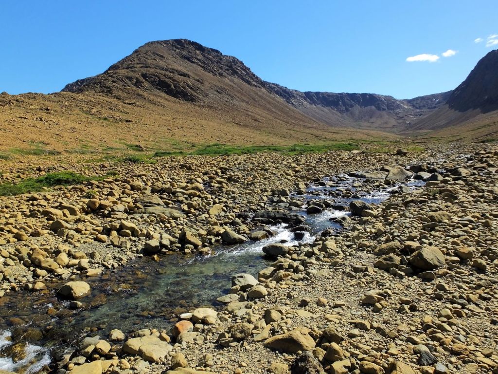
A creek flows through the heart of the Tablelands
Restored Cow Head Lighthouse

Our travels continued north to a national park campground near Cow Head.  The town got its name for a rock along the coast that an early explorer thought resembled a cow’s head.  We biked to town and then across a small spit of land to an island, where the inspirational rock is said to viewable from the Point of the Head trail.  We looked and looked and couldn’t find any formations that resembled a bovine skull.  The hike was beautiful anyway.

Point of the Head vista – no Cow Heads in sight

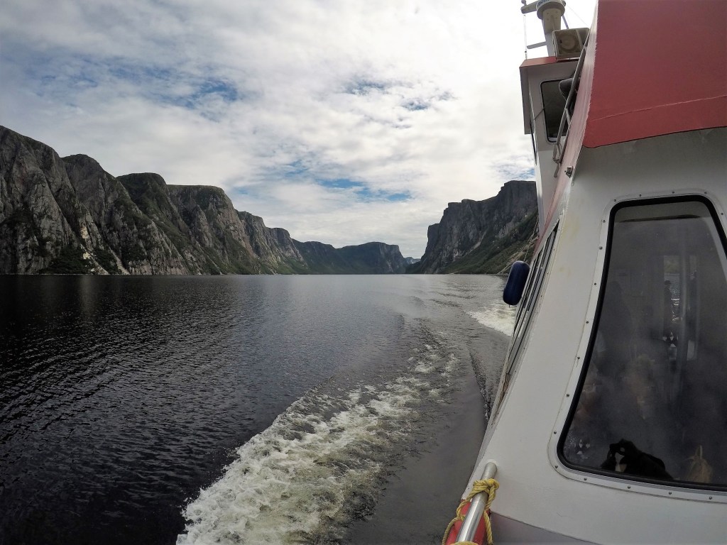
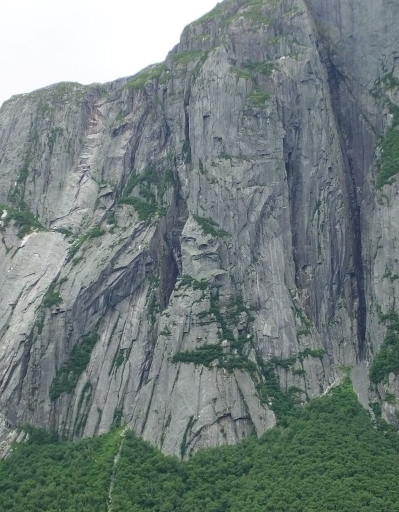
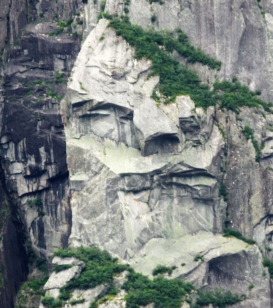
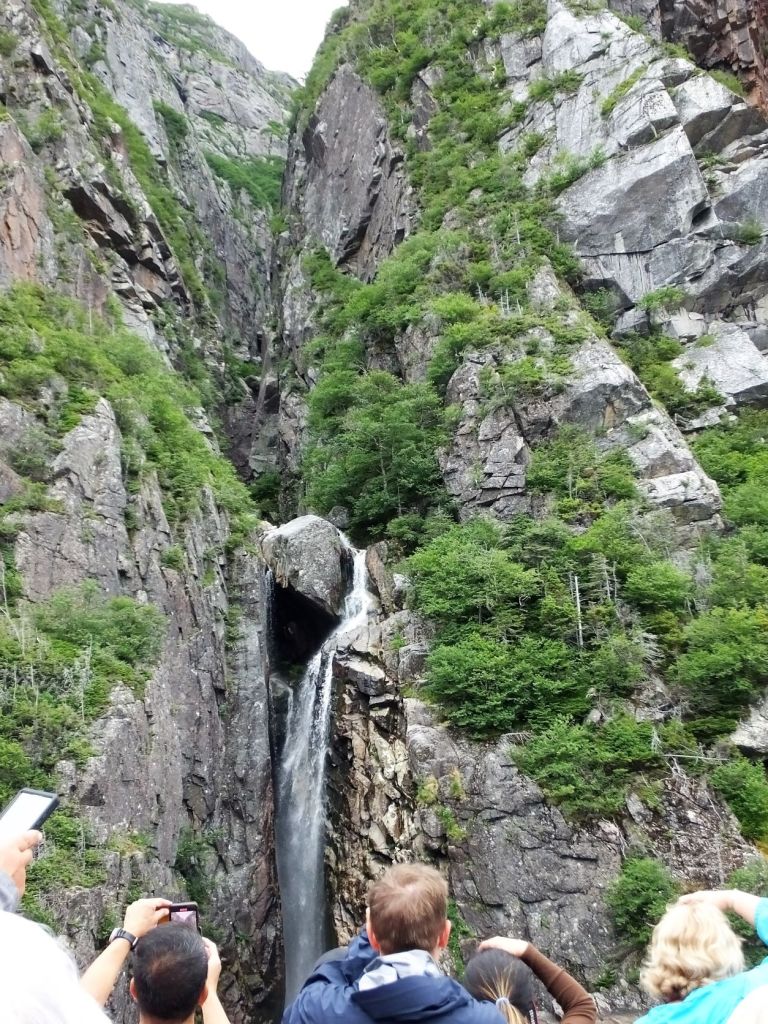
While at Cow Head, we enjoyed one of ‘top 10’ things to do while on NF – the Western Brook Boat Tour.  After a 1.8 mile hike from the parking lot, our morning boat ride started on the mirror smooth pond just west of the Long Range Mountains.  The trip took us nearly ten miles into a narrow freshwater fjord with two thousand foot cliffs on either side.  We learned the pond has a maximum depth of 541 ft and is ultraoligotrophic, low in nutrients so it supports a few slow growing plants and animals. 
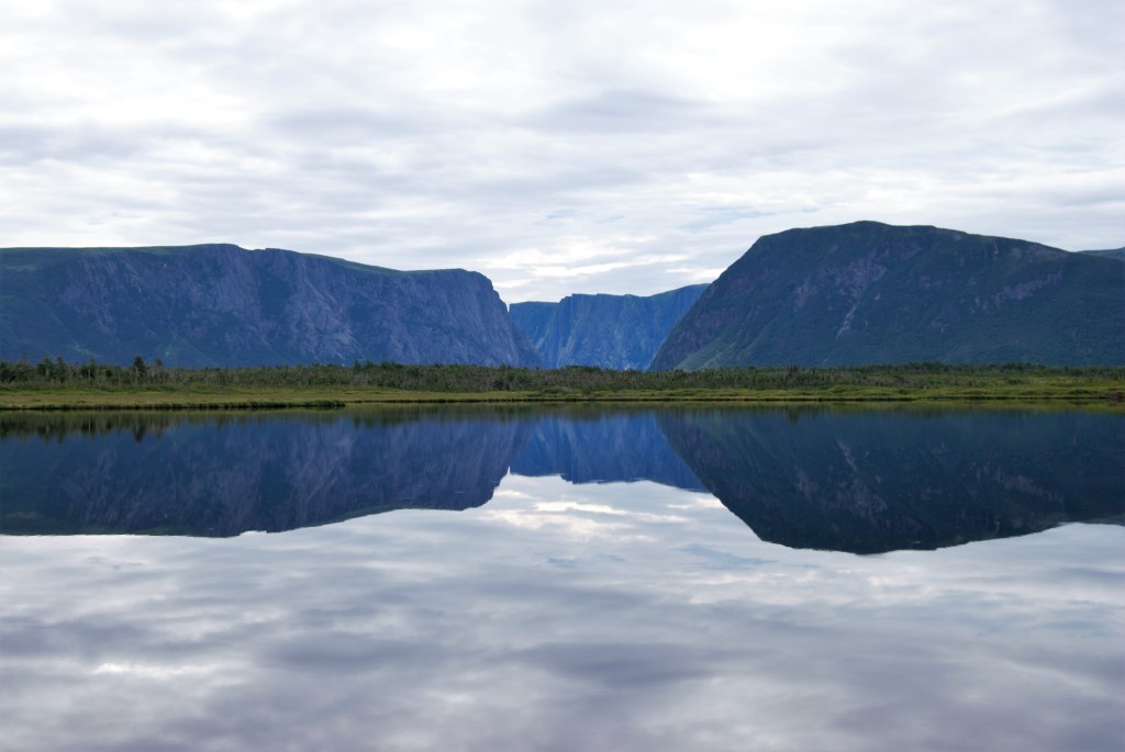
Reflection of distant mountains at start of Western Brook Boat Tour
View from the boat

As we returned to the tour starting point, patches of sun broke through the clouds.  As the ride ended, we were entertained with an impromptu performance of NF folk tunes by the boat’s talented crew.
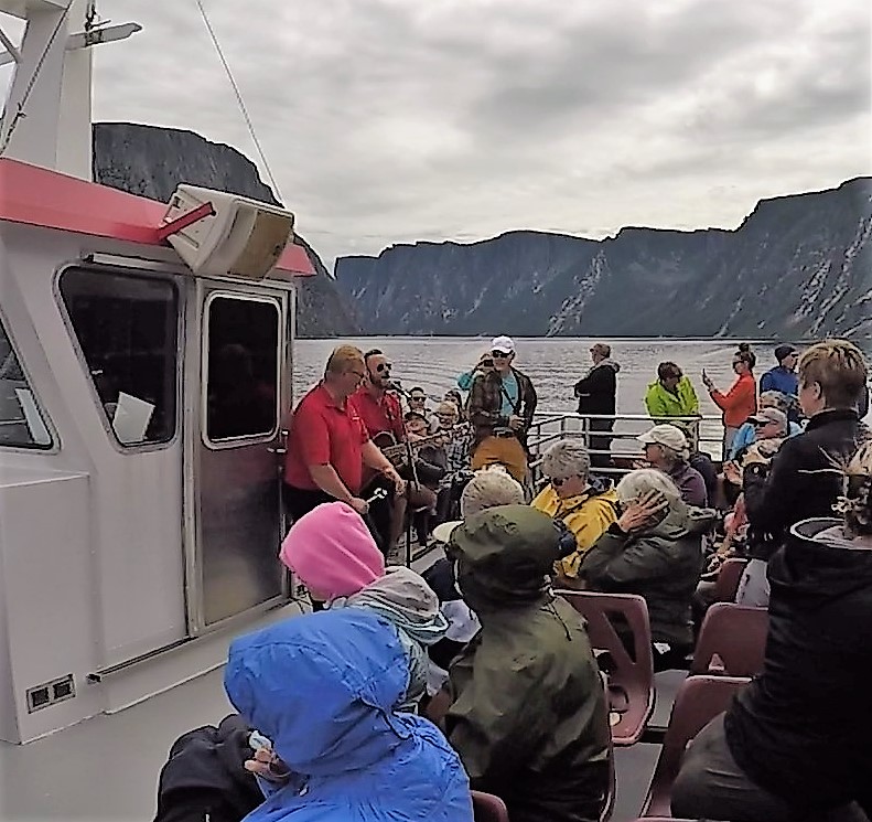
NF music on Western Brook Pond

Next week:  learn what moose and pythons have in common, the significance of a Viking settlement at the northern tip of NF, and why we decide to leave the island.    
High Tides and Redeye Rides

(2022 Newfoundland Ep 5)

After two and a half weeks and 2425 miles, we arrived in Canada, crossing the border between Calais, Maine and Saint Stephen, New Brunswick.  The crossing was uneventful.  We used ArriveCAN, a database and phone app, where we uploaded our passport and Covid immunization information. Should you have plans to visit our neighbor to the north, we suggest completing the ArriveCAN information to avoid delays or other issues.

Our first night in Canada was near Saint Stephen and the next day we continued to Fundy National Park. 

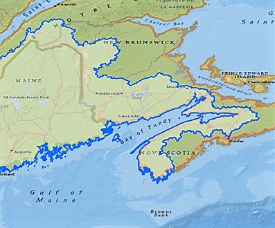
Fundy NP is situated on the Bay of Fundy, between New Brunswick and Nova Scotia provinces, and is home of the highest tides in the world. 

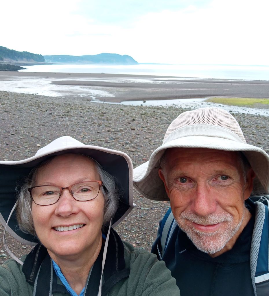
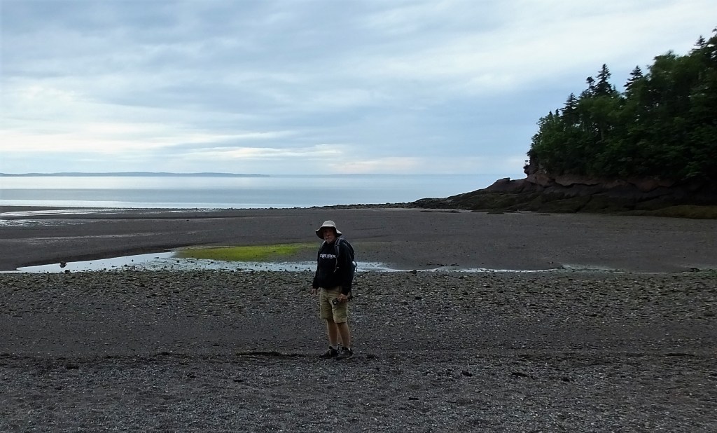
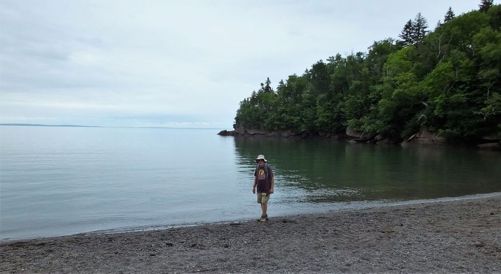
Fundy beach wanderers at low tide

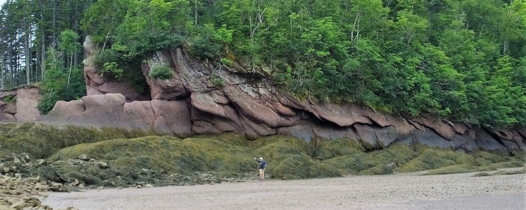
From a grassy bluff above Herring Cove Beach, we descended more than 150 stairs and found ourselves alone on a quiet and serene beach.  It was low tide and the edge of the water was more than 200 yards away.  Above the beach were the natural rock walls of the bluff and we could see where the tide would rise on the rocks over 50 foot above! 

Pointing to the high tide line far above
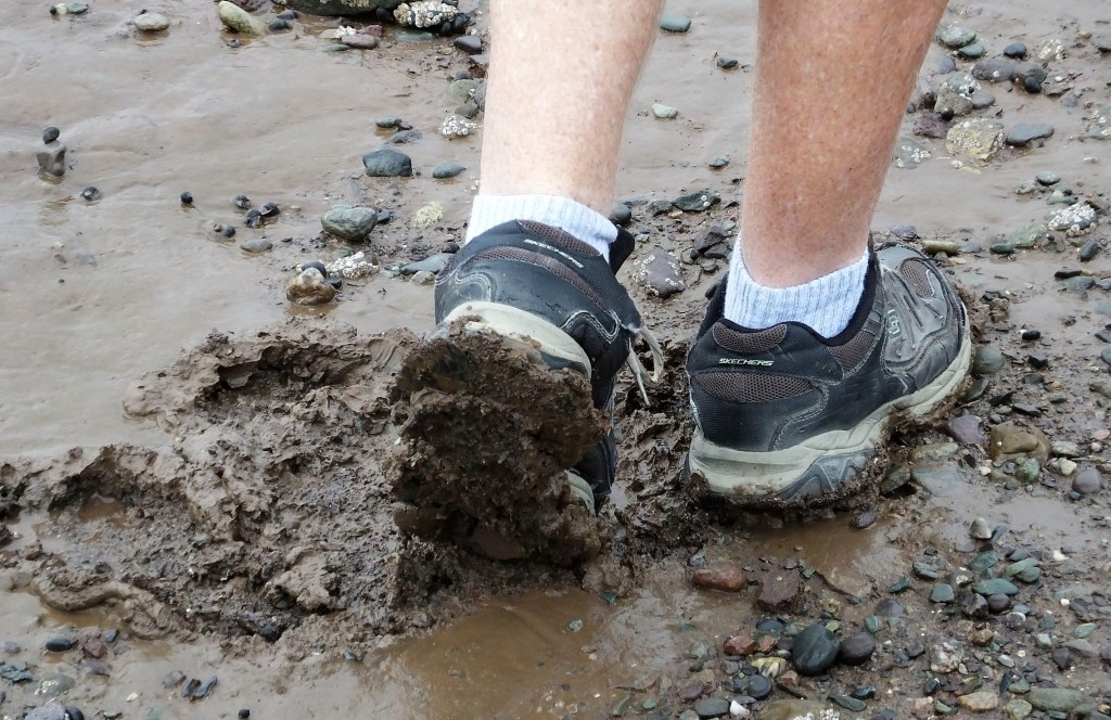
Some areas between the low and high tide lines consisted of thick muck!

The tide started to come in. Rocks and mucky areas visible just a few minutes earlier were soon under water.

Twice each day an estimated 100 billion tons of water flow in and out of the bay – more than twice the combined total flow of the world’s rivers over the same period.  The tides rise and fall an astounding 52 feet!

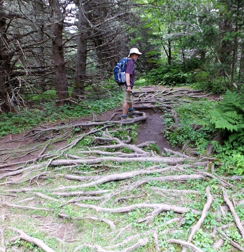
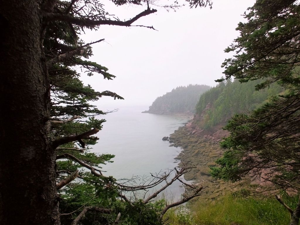
Leaving the beach, we climbed the stairs to hike the Matthew’s Head Trail.  The trail follows the bluff above the bay for more than a mile.  We enjoyed our lunch and a beautiful view.  Not wanting to repeat an unfortunate hiking experience at Grand Teton a couple of years ago when I tripped and dislocated a finger, we had to proceed slowly and carefully due to many exposed tree roots and rocks on the trail.  We are thankful we completed the trail with no mishaps!

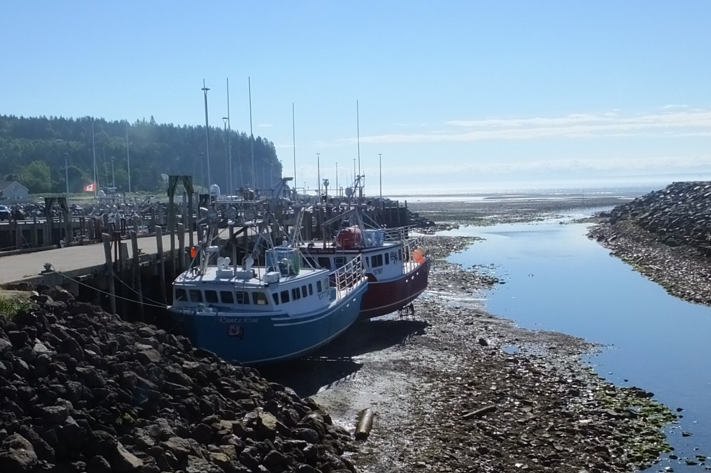
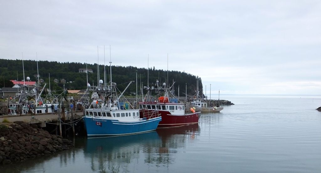
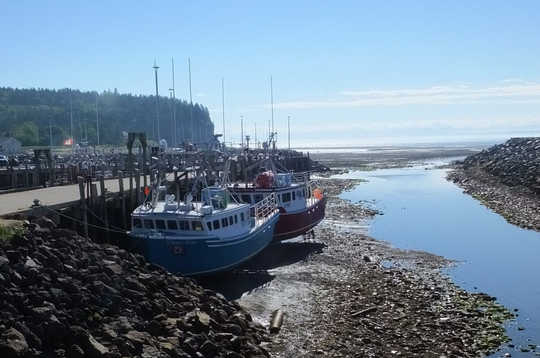
After our hike we drove to Alma, a small town just outside the park, to look around.  We noticed several colorful fishing boats propped up above the water far below. 

We returned to the beach at high tide and stood at the high tide line again. It was amazing how different the beach looked.  Back in Alma, the once propped boats where now floating on a wide tidal creek. 

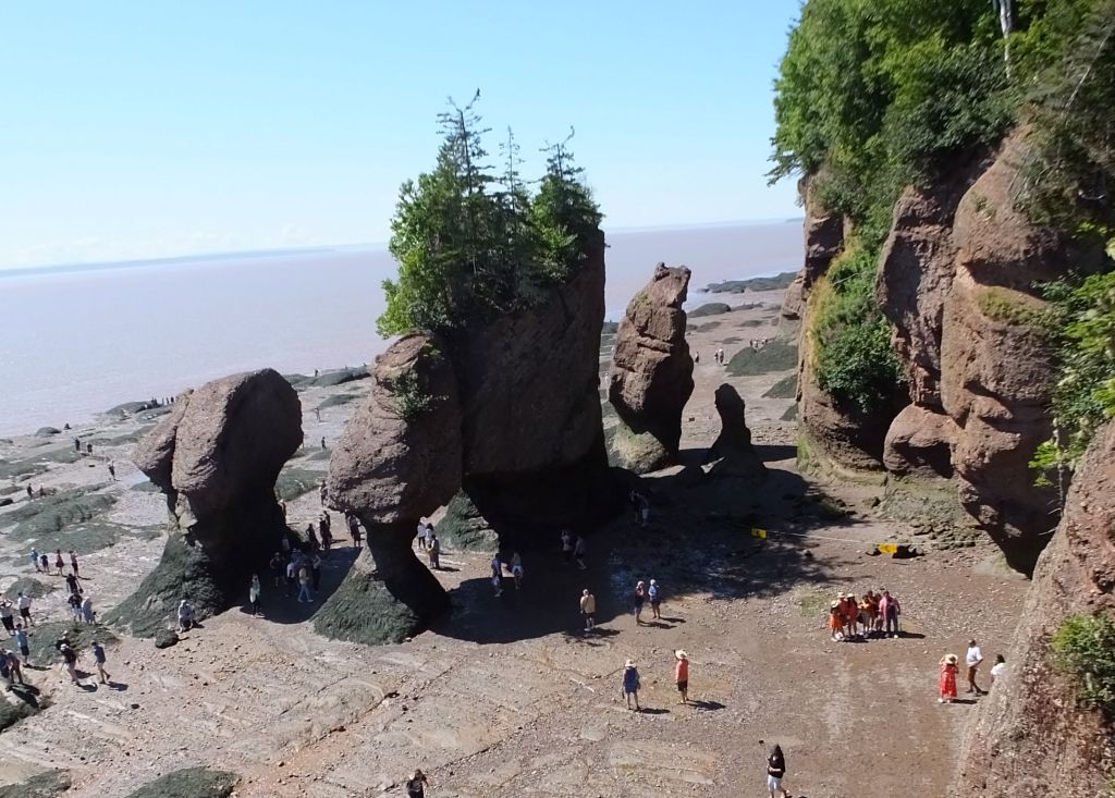
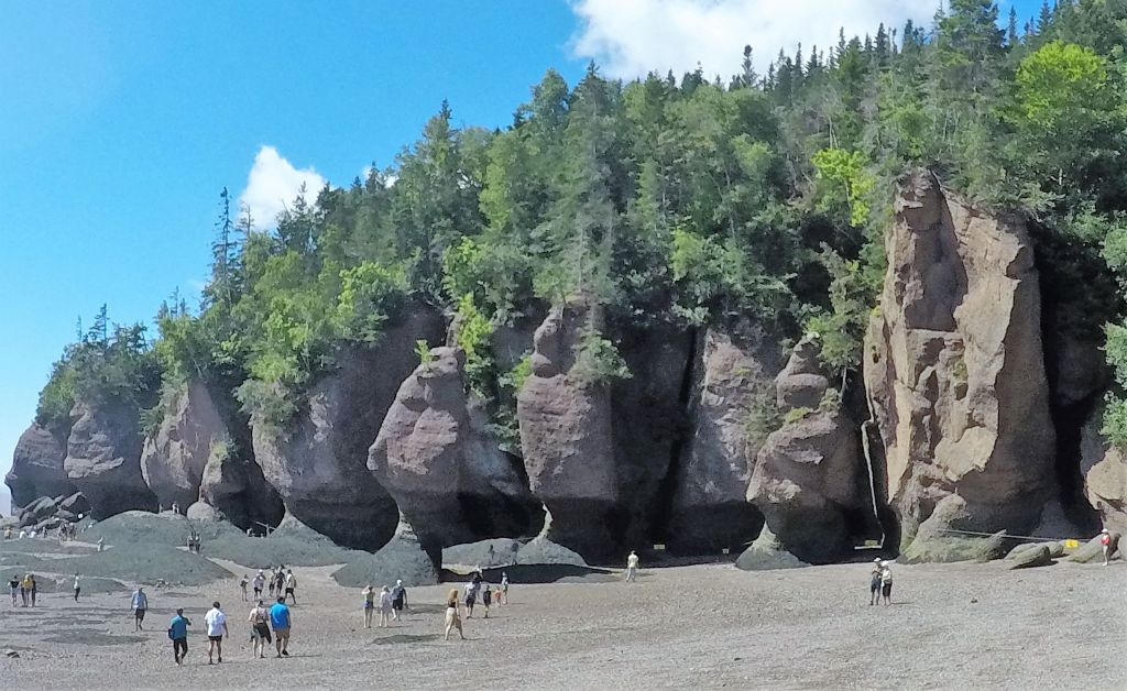
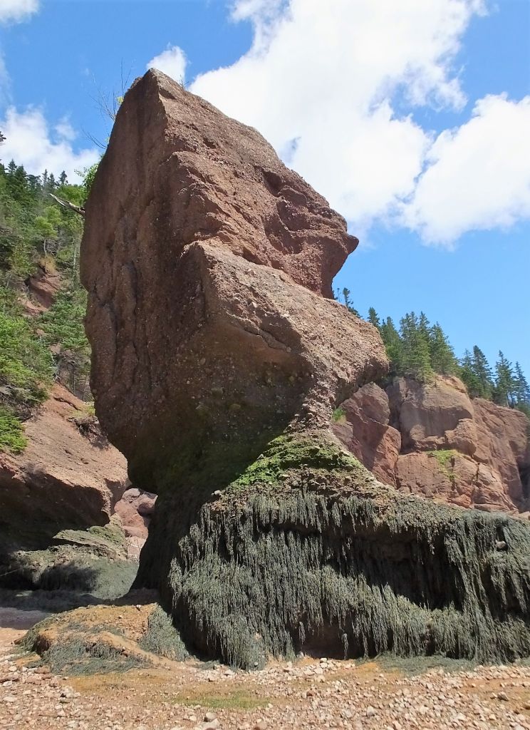
The next day we visited unusual rock formations at the nearby Hopewell Rocks Provincial Park.  The rocks were formed by the rising and falling tides, and reminded us of Bryce Canyon and Arches National Parks. There were tall ‘hoodoos’ nearly a 100 feet high. 

Hopewell Rocks

We were surprised to see dozens of people lined up to buy tickets to see the rocks – the park is very popular.

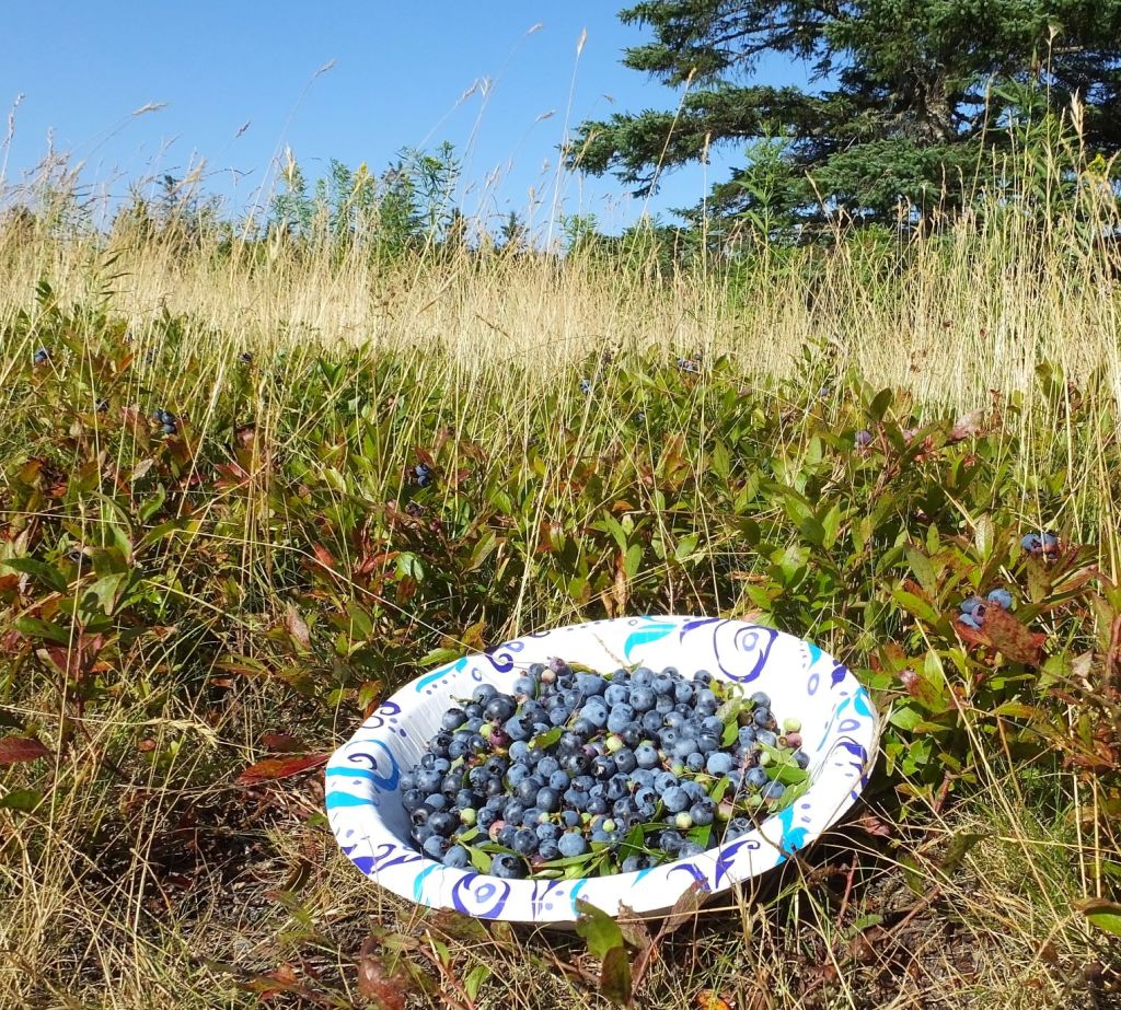
We picked and enjoyed wild blueberries with Greek yogurt

We camped the next two nights at the Earltown, Nova Scotia farm residence of Andrew and Patty Morrow.  They invited us for an amazing breakfast, and we later walked their property and then a short distance into town.  We couldn’t resist purchasing a loaf of fresh cranberry-blueberry-raisin bread at the Earltown General Store. 

Andrew, a native Newfoundlander, shared Newfoundland travel suggestions and coached us on the correct pronunciation of his home province – he said Newfoundland rhymes with understand!. 

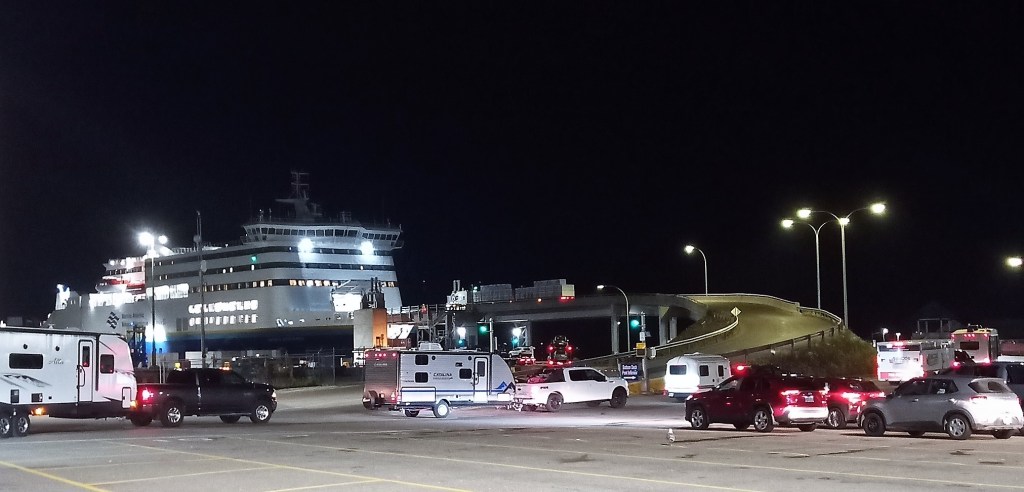
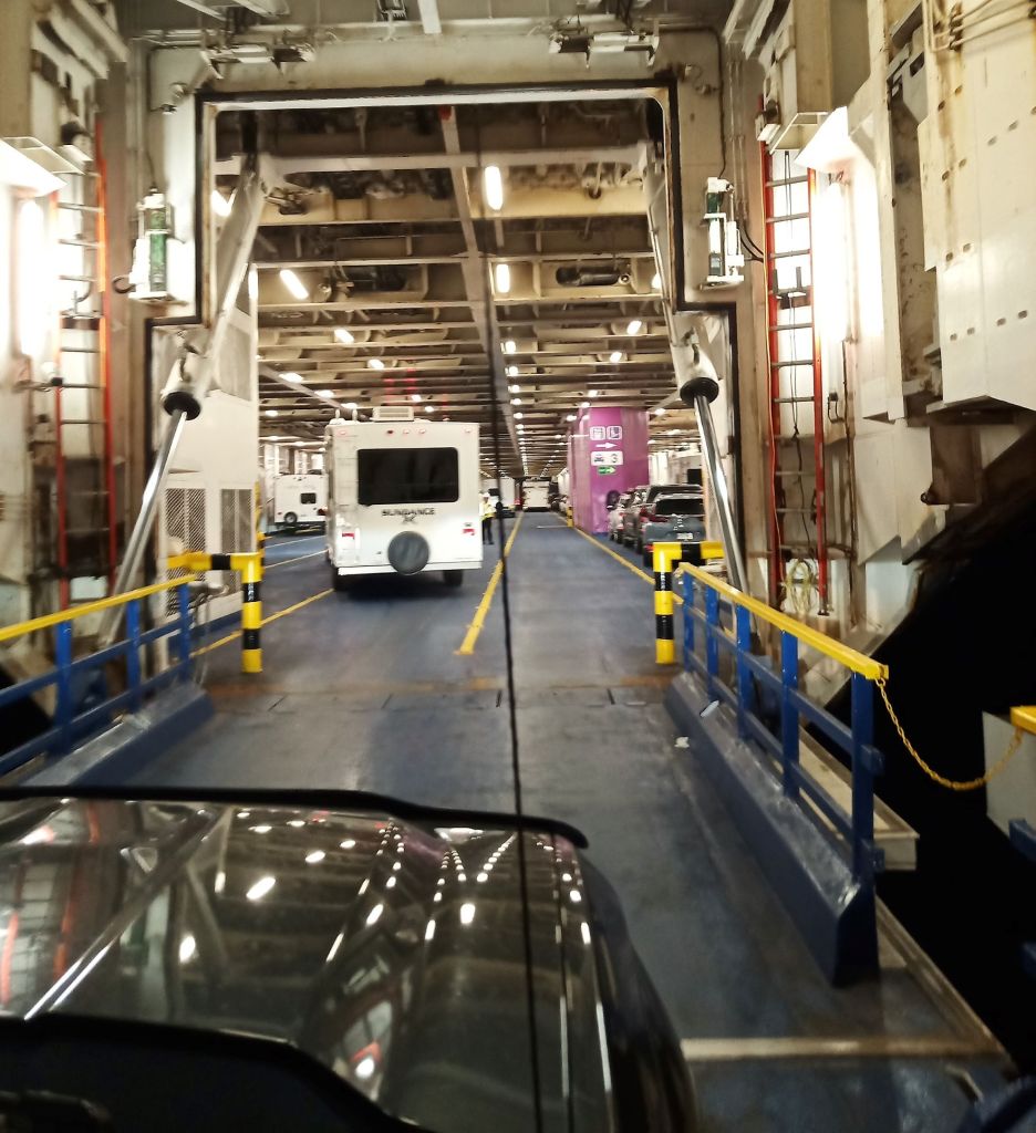
We continued north to North Sydney, Nova Scotia and prepared to board a Marine Atlantic ferry for a seven hour ‘cruise’ to Port aux Basque, Newfoundland.   We had a few hours to spare before our 11:45 pm ‘red eye’ ferry departure, so we took time to do what all travelers must do from time to time – laundry!

Early morning arrival at Port aux Basques, Newfoundland

Next week – we arrive on Newfoundland and spend a couple of nights at a campsite overlooking the Codroy Valley.  We continue on to Gros Morne National Park where bad roads threaten to change our plans!

Acadia NP: Coves, Carriage Roads and Cadillac

(2022 Newfoundland Ep 4)

After saying goodbye to our friend Norm, we pointed Max and Oscar northeast for our next stop at Acadia National Park on the Maine coast.

We arrived at Ellsworth, Maine that afternoon, a few miles north of the park.  We saw lots of signs for Maine lobster – lobster dinners, lobster rolls, lobster chowder, fresh and steamed lobsters from roadside stands with large steaming pots.  Despite these temptations, we decided to wait for Newfoundland lobster.

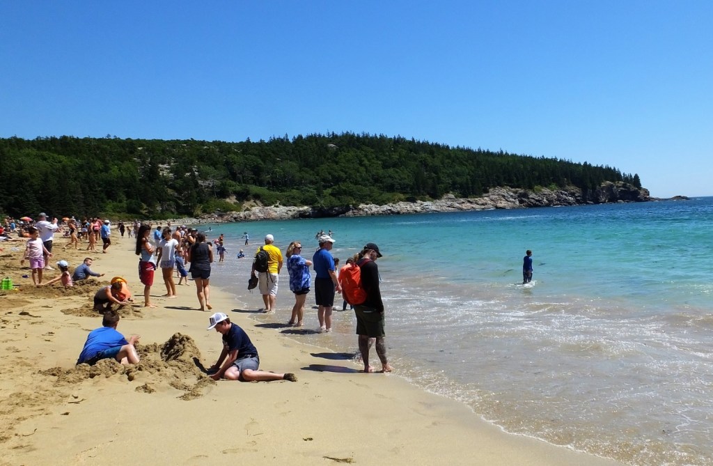
Hanging out at Sand Beach

The next morning we visited the park visitor center to get our bearings and to get our National Park book stamped.  We decided to take a free shuttle bus around the 27-mile park loop road.  The first stop was at Sand Beach, a beautiful beach where we ate a picnic lunch and watched visitors enjoying the sand, waves and summer sun.  Honestly, it was hard to get excited about the beach, considering the frigid temperature of the water and fantastic beaches we have in Florida.

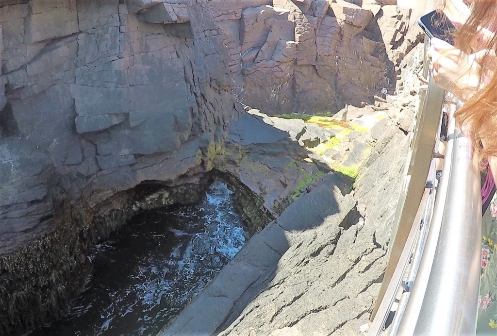
Waiting for thunder…

From Sand Beach we walked about a mile to Thunder Hole.  Thunder Hole is a natural formation that thunders loudly when sea water races up a narrow inlet to a small cavern.  The thunder is loudest just before high tide. We were there a little early and had to settle for fainter, distant thunder.

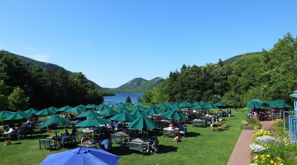
Lunch on the Jordan Pond House Lawn

We reboarded the shuttle and rode to Jordan Pond House.  Many were enjoying dining on the lawn, an appealing grassy area dotted with chairs, tables and green umbrellas.   Having already eaten lunch, we opted for a 2-mile trail along the east side of the pond and then another trail back to the loop road and a shuttle bus stop.  Little did we know that the shuttle no longer stopped at that location.  As we considered whether to go back to Jordan Pond House or to continue along the road to the next shuttle stop, a volunteer park ranger and his wife from Tennessee kindly offered us a ride back to the visitor center.  We enjoyed visiting with them and learned we had much in common – RVing and past travels to Alaska and the US west.  

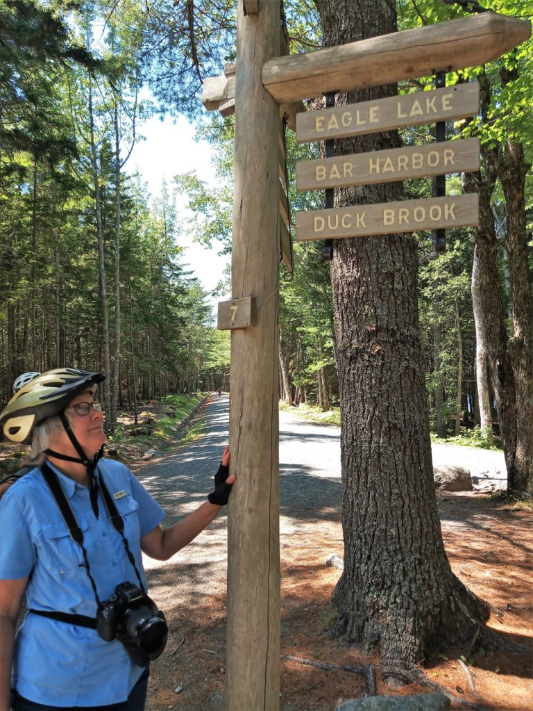
Deciding which way to go on an Acadia Carriage Road

We packed a lunch the next morning and set out to ride our bikes on Acadia’s carriage roads.  Forty-five miles of gravel lanes, gifted by philanthropist John D. Rockefeller, run throughout the park and are used by hikers, horseback and carriage riders, and cyclists.

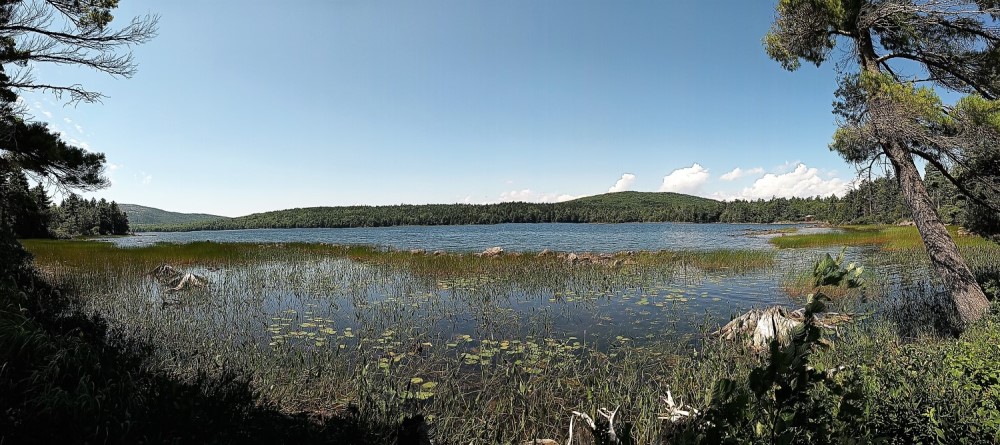
From the visitor center we circled Eagle Lake and returned for a total of 12 miles.

Although the roads are designed so they are not too steep for horse drawn carriages, there were some rather substantial and long hills that required us to walk our bikes.  Of course, the rides back down were lots of fun!

Serene Eagle Lake view

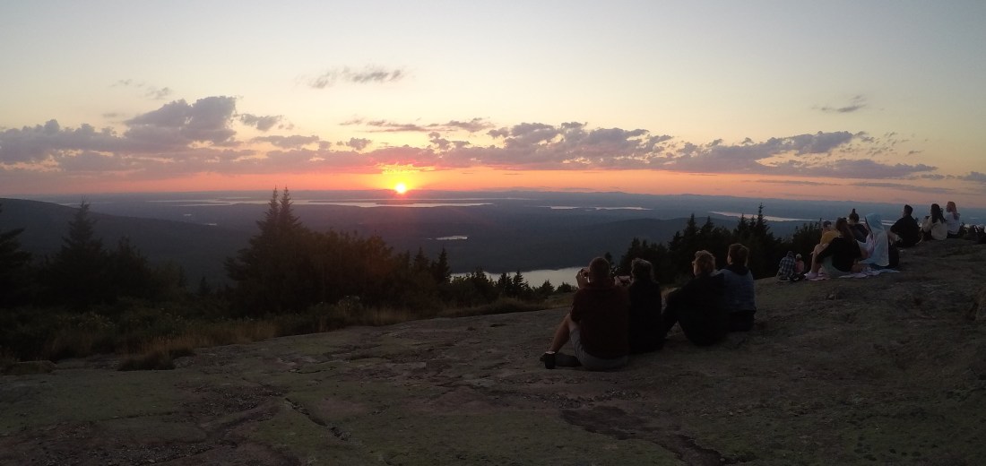
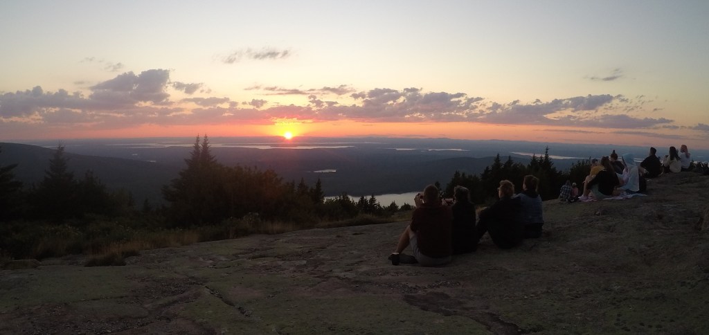
A drive to Cadillac Mountain is not to be missed when visiting Acadia.  At 1530 feet, it is the highest point in the park and offers great views of Bar Harbor town and the Maine coastline.   Many get up early to see America’s earliest sunrise from the mountain. Sunrise the next day was at 4:37 am and that would have meant we leave our campsite at 2 am.

We decided to see the sunset instead.  We brought our dinner and were rewarded with a beautiful close to the day.       

Sunset on Cadillac Mountain

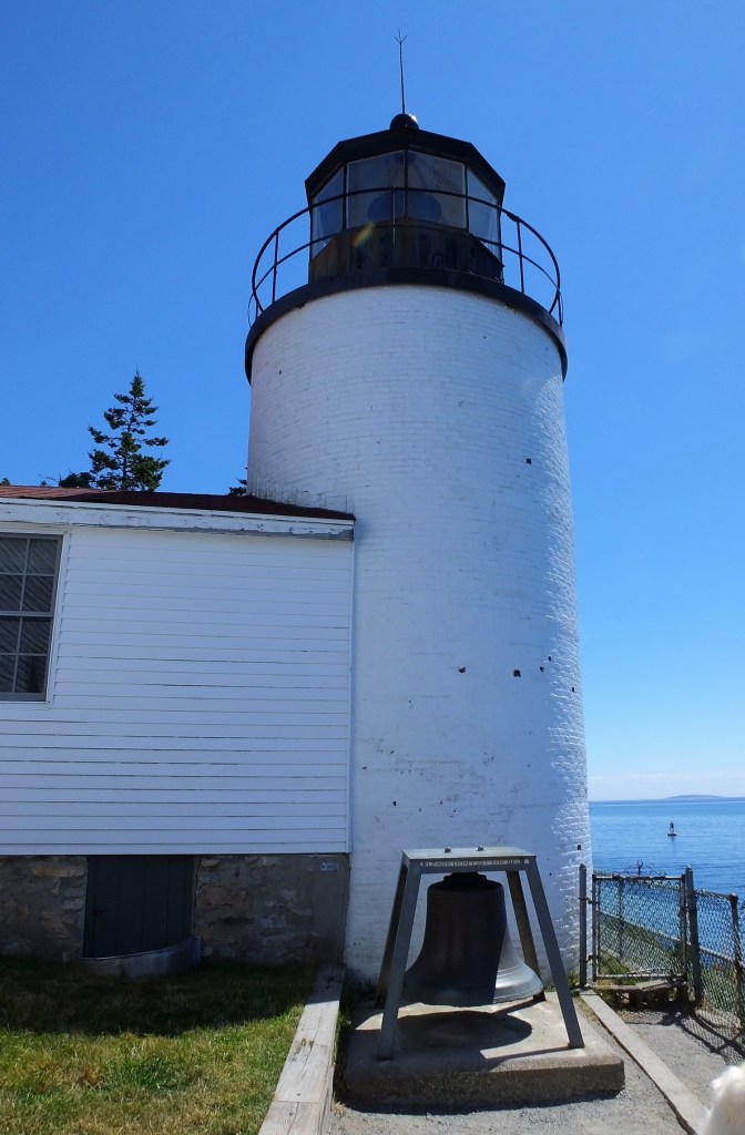
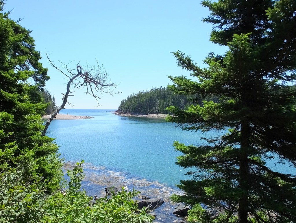
During our final day at Acadia we explored the lesser visited western side of the park.  We visited the picturesque and much photographed Bass Harbor Lighthouse and hiked to Ship Harbor, a beautiful, secluded cove. 

Next week:  we cross the border into Canada, travel through New Brunswick and Nova Scotia, and arrive in Newfoundland.

Iron Sharpening Iron

(2022 Newfoundland Ep 3)

Prov 27:17 gives a perspective on the value of a friend.  “Iron sharpens iron, So one man sharpens another.”  Indeed, caring friends are blessing and a treasure for life.   

Old friends

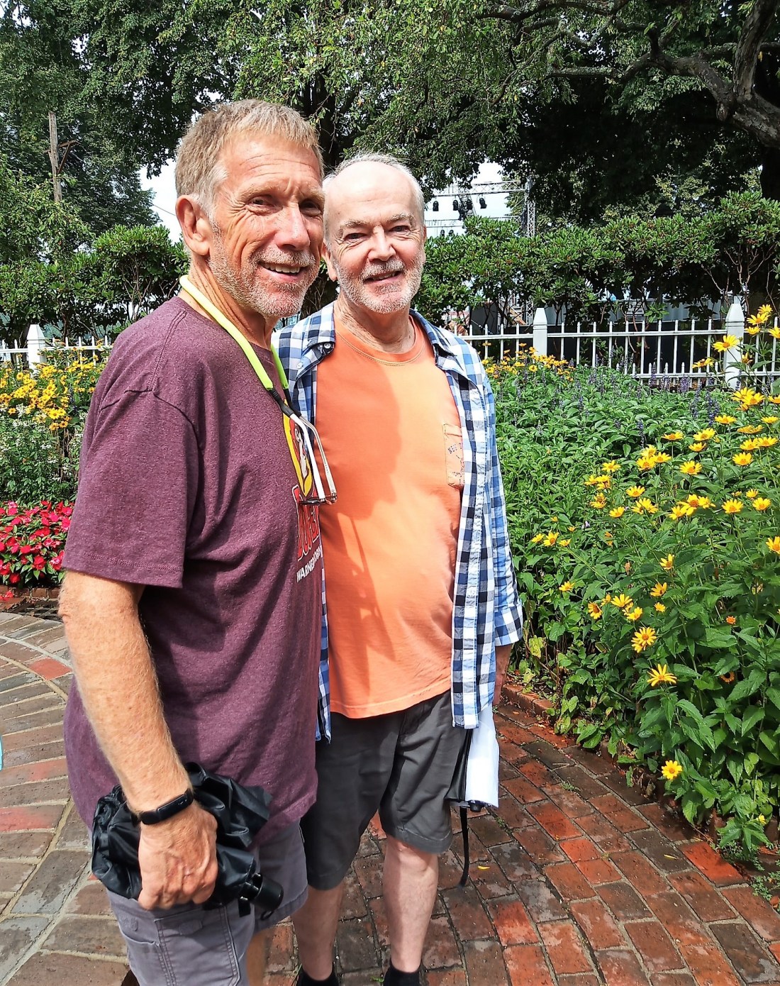
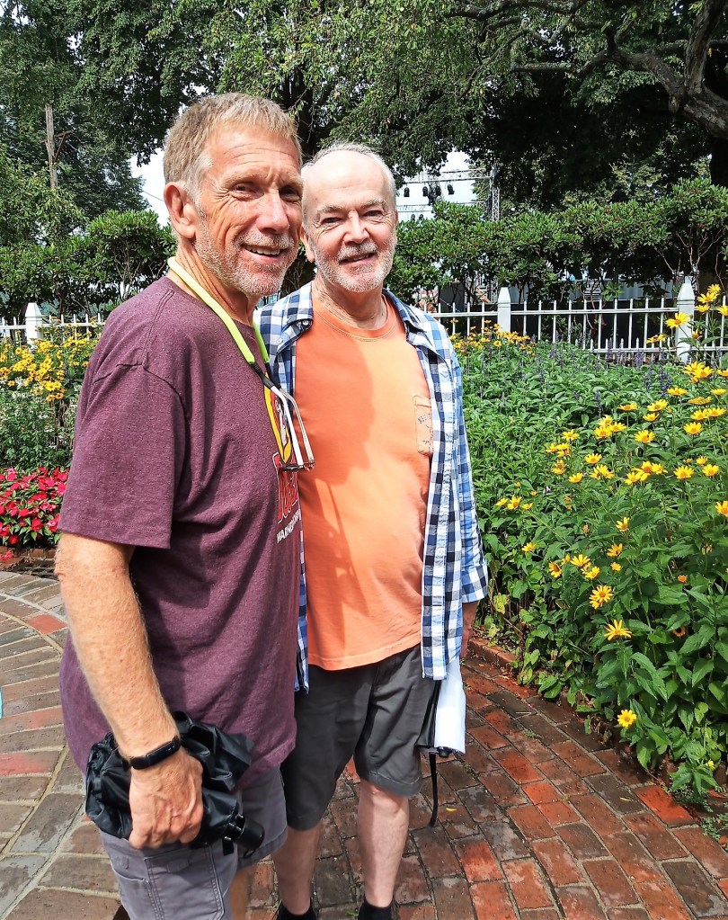
As we continued northward to Newfoundland, Pat and I caught up with an iron-sharpening friend like this.   We visited Norm Maclean, a long-time friend who moved from Jacksonville to New Hampshire (via Massachusetts) more than 25 years ago. 

Norm and I started working Prudential Financial around the same time in 1978 and became lunch buddies.  During after-lunch walks Norm shared his faith in Jesus Christ with me.  I was what today would be best described as a ‘seeker,’ one who has questions about the Christian faith.  Norm patiently answered my faith questions day after day, and after Pat and I were married in 1980, I trusted Christ and became a Christian on December 21, 1980.

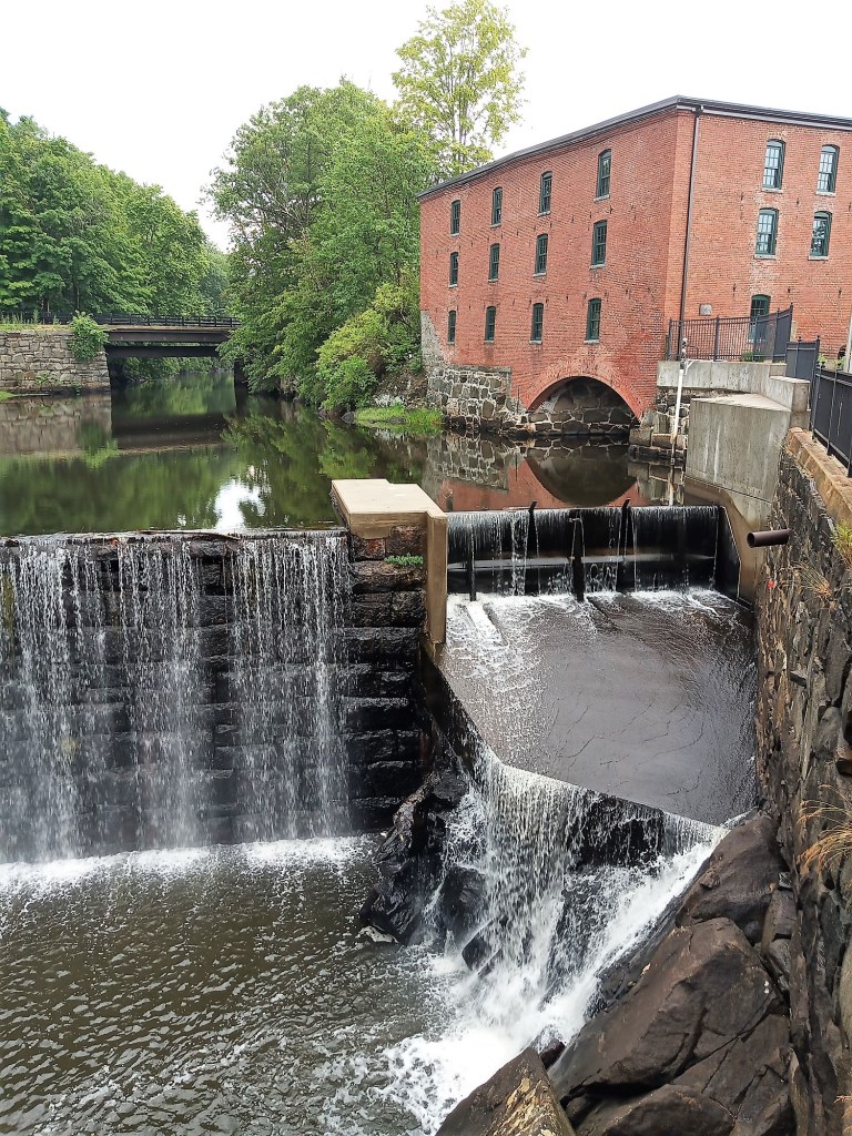
Many historic mills, like this one in Exeter, have been converted to condos, apartments and businesses

Our friendship continued with weekly racquetball games until Norm married and moved to Massachusetts in the mid-90s.   

We’ve kept in touch via phone calls, emails and a few short visits over the years.  This time we had more than two days to reconnect.

Norm now lives in Exeter, NH, a few miles west of Portsmouth.  Exeter’s claim-to-fame is a story of a UFO abduction that allegedly took place in the ‘60s.  They even have a UFO festival in early September that Norms says is a sight to behold.  We’re sorry we’ll miss it!

It was hot – even for Florida

We arrived on a very hot Sunday afternoon and after setting up at our campsite, we joined Norm for ice cream and conversation on the Exeter waterfront.  We learned about the church he attends and updated Norm on what was happening at our church, Christian Family Chapel.  Ice cream finished, we took an after dark walk around Phillips Exeter Academy and several other downtown buildings.

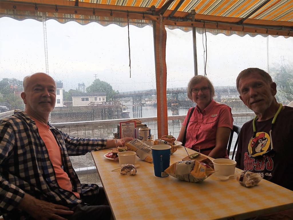
The next morning it was drizzling lightly and much cooler.  After touring Exeter a bit more, we drove a short ways to Portsmouth.  Norm showed us some of his favorite places and we had lunch at Geno’s Chowder and Sandwich Shop on the waterfront.  Because Geno’s lobster rolls were rather pricey, we opted for chowder.  Our wait person brought samples of lobster, fish and clam chowder (all were great), and we decided on clam.

Chowda and fellowship at Genos

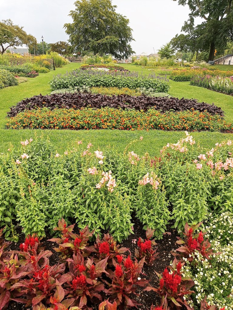
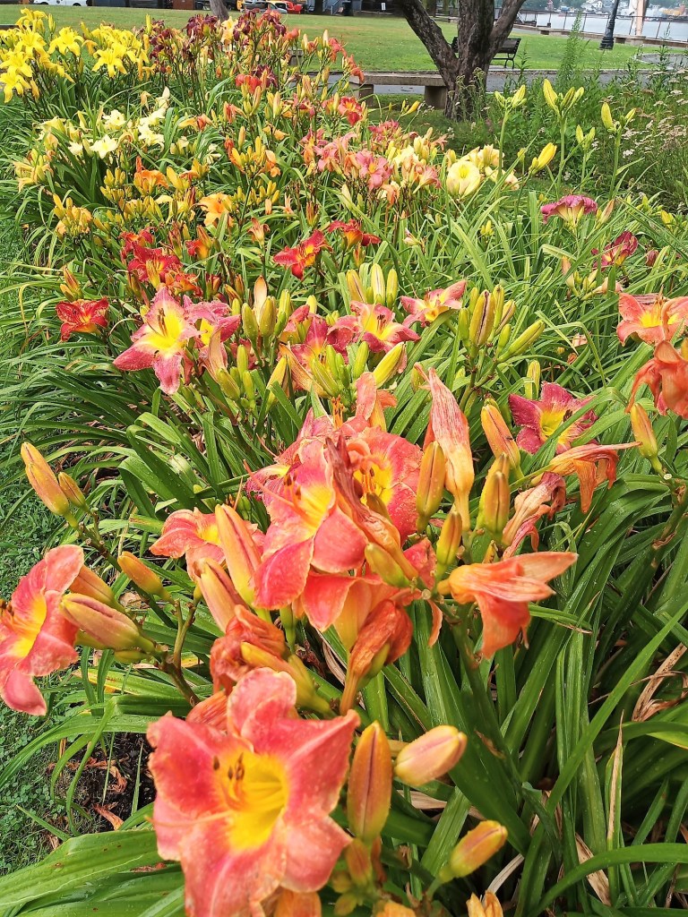
After lunch we walked to the nearby Trial Gardens, flower gardens on the Portsmouth waterfront that have a beautiful assortment of flowers and ornamental plants.  Pat really liked that! 

We finished the day with a stop at Jenness State Beach, where Norm likes to surf.  The waves were small and the boards were long, but they really do surf in New Hampshire!

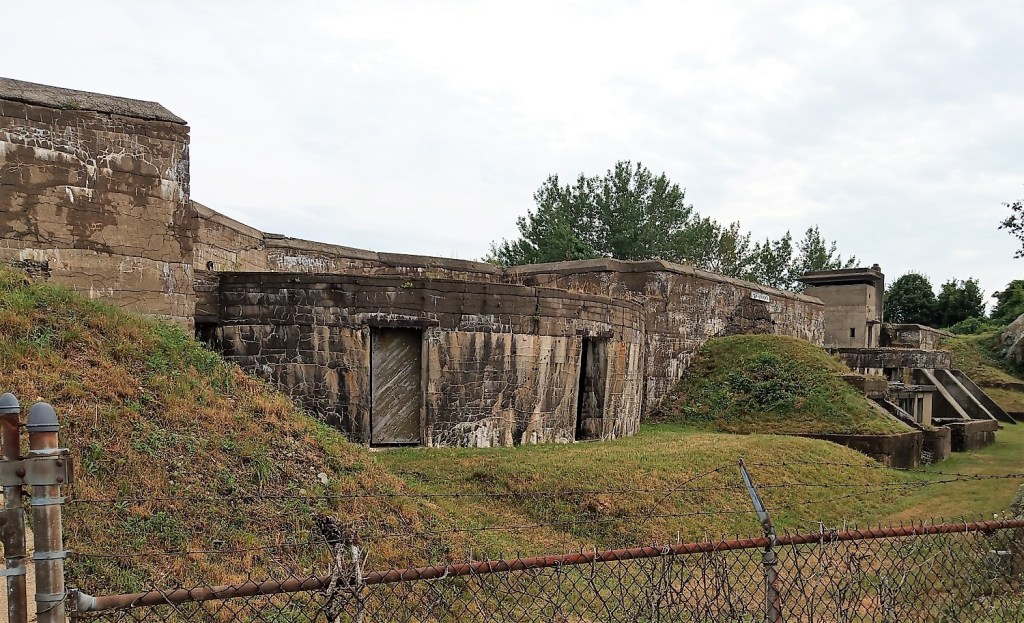
One of many port fortifications in the Portsmouth area
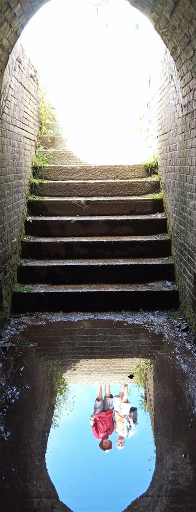
Interesting bunker reflection

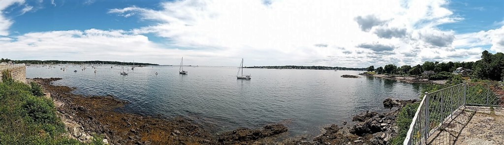
The next morning we returned to Portsmouth to visit a number of interesting fortifications that overlook the mouth of the Piscataqua River. around the port.  Portsmouth has long been deemed to have strategic value and the fortifications were built to protect the port from invasion from Britain (revolutionary and 1812 wars) and Germany (WWI and WWII).  We had a picnic lunch at Fort McClary State Historic Site in Maine on the north side of the river and learned that location has been repurposed for each of the wars above. 

Fortifications on both sides of the river ranged from a large wooden tower with narrow slots for cannons and muskets to large concrete bunkers that contained large 20-in guns, like those found on battleships.   At Odiorne State Park in New Hampshire we hiked to several large concrete structures that once housed large guns and are now covered with graffiti.  The massive bunkers reminded Pat and me of the Dharma Initiative on the TV series Lost.

Later, we rode our bicycles around Portsmouth to see a number of old homes and a few cemeteries, and enjoyed pizza in the basement of Portsmouth Gas Light Co. in the bustling and beautifully-restored Portsmouth downtown area.  What history were in those walls.

Piscataqua River panorama from Fort McClary

After our two day visit, we said farewell to Norm.  Our trip resumed north the next morning to Acadia National Park up the Maine Coast.

In closing, take the long road to visit friends and family as you travel.  You’ll never regret taking time to reconnect and never know what Rabbitrails you’ll experience in the process. 

Skyscrapers and Castles

(2022 Newfoundland Ep 2)

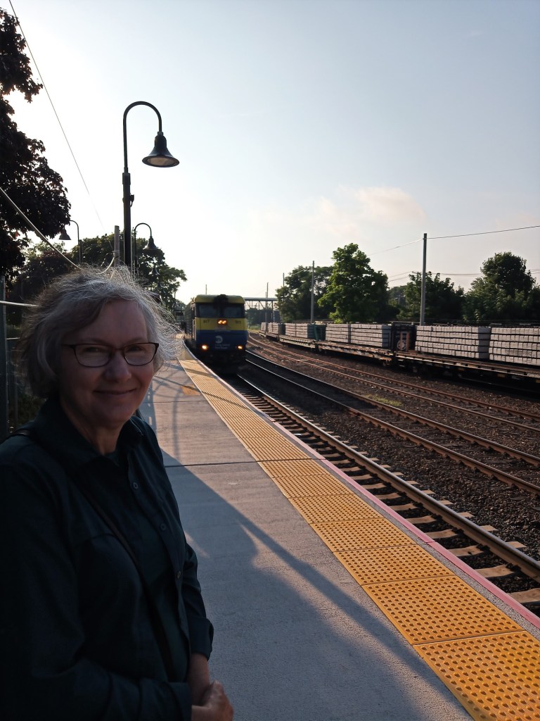
Early morning wait for Long Island Railroad Train to Penn Station

From our Long Island campsite, we decided to travel into New York City to visit the ‘new’ World Trade Center (WTC) and 9-11 Memorial.  After a short drive to nearby Port Jefferson, we left Max and took the Long Island Railroad to Penn Station in NYC.  The ride was on a double decker rail car and we zoomed the suburbs and city.  After an hour, we went underground to the bowels of Penn Station, where subways, commuter trains to Long Island, New Jersey and Connecticut, and Amtrak all connect to get people from just about any point A to any point B.

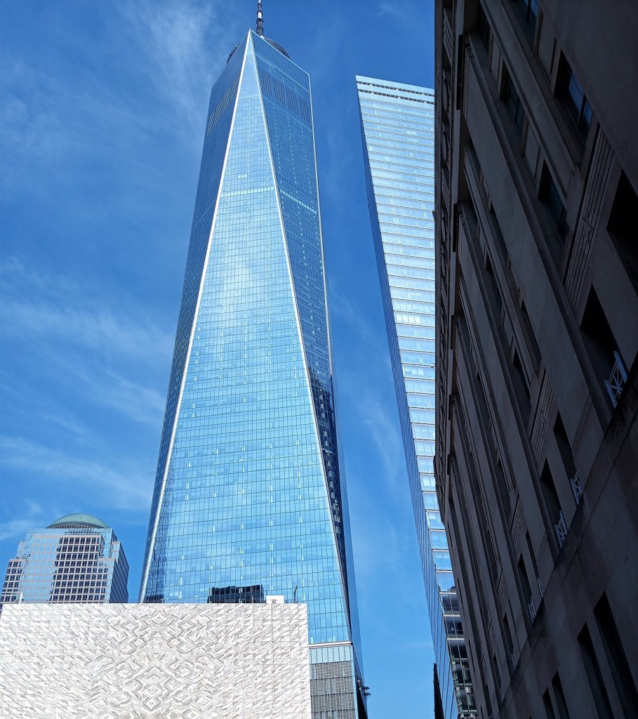
We went up stairs, along large crowded passageways and then down stairs to find the ‘E’ subway to the WTC.  Once there, we exited the subway, rode a long escalator, and found ourselves at street level.  We had our first glimpse of the 1776-foot World Trade Center and stretched our necks to see the top!

First glimpse of WTC after riding subway

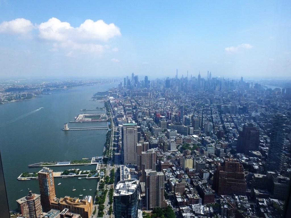
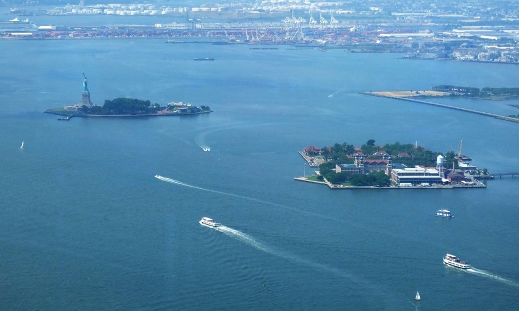
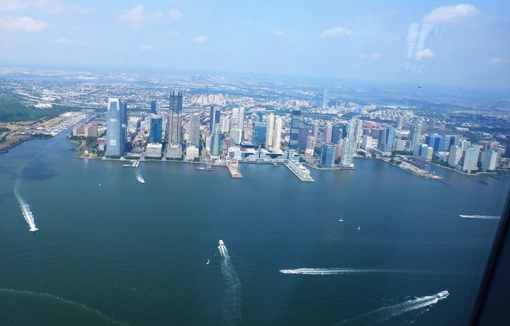
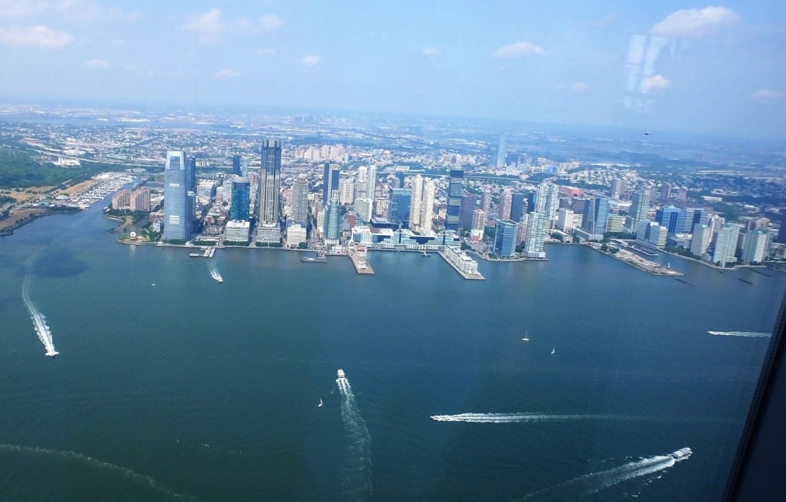
After a short walk, we purchased tickets to the WTC observation deck and because there was no wait, decided to take the elevator right away.  The elevator took us up 1250 feet to the 102nd floor in 47 seconds.  We rode an escalator to the 100th floor where there was a phenomenal 360 degree view of the city, New Jersey, Statue of Liberty and much more.  One could easily spend an hour or more circling the entire floor to enjoy the sights. 

Manhattan Skyline from WTC
Statue of Liberty and Ellis Island from WTC
Boats and New Jersey shoreline

The return trip to the ground was interesting.  The elevator was lined with video screens and we soared like Superman in and around the buildings before ‘landing’ safely.

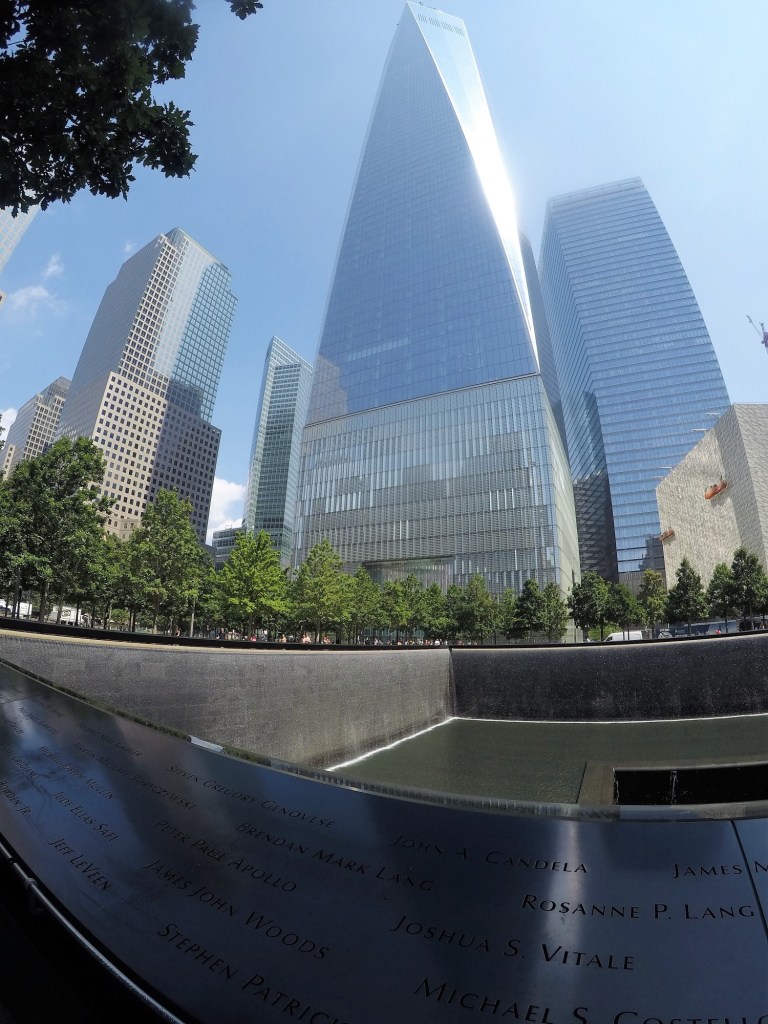
9-11 Memorial with World Trade Center in background
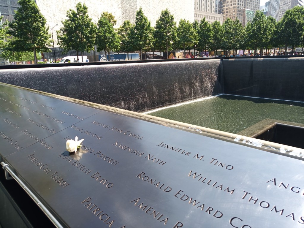
9-11 Memorial with white rose to mark birthday

Returning outside, we walked to the 9-11 Memorial located in a large tree shaded plaza adjacent to the WTC.  The memorial is two large squares with water that continually falls to a base.  The water in the base flows to and disappears into a smaller square base.  The squares correspond to the original twin WTC towers.

The names of the 2983 persons who were killed in the 2001 and 1993 NYC terrorist attacks are inscribed in bronze along the edge of the memorial squares.  The mood of those visiting the memorial was respectful and solemn.

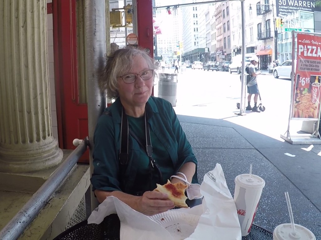
Pat enjoying New York style pizza on Manhattan

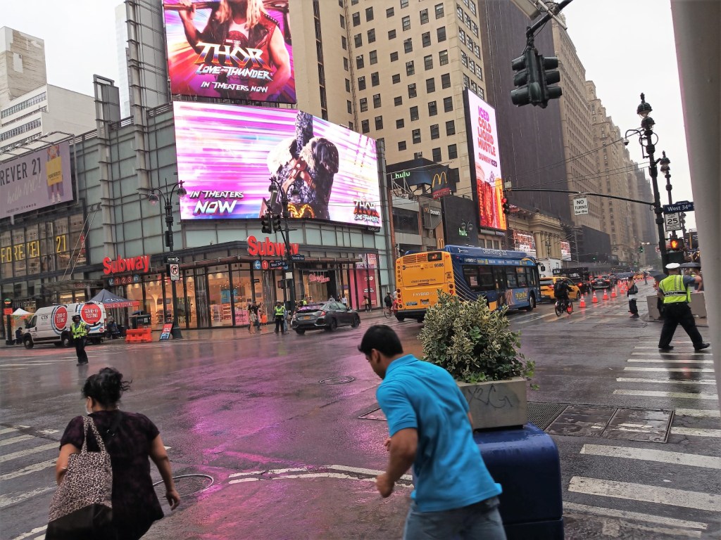
From the WTC and memorial area, we walked a few city blocks in search of lunch.  We settled on a hole-in-the-wall place for slices of New York style cheese pizza and soft drinks.  We ate outside and watched the city pass by.  It began to lightly rain and we yearned to get back to our quiet and still campsite.  We hurried to catch the subway back to Penn Station and train back to Port Jefferson.

Rain in New York City

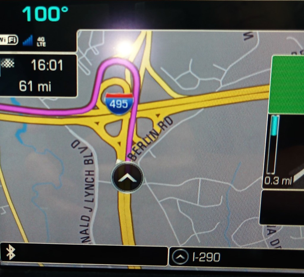
The next day we again traversed NYC as we drove toward Connecticut.  Traffic on I-95 was stop and go, and it took all day to go 160 miles.  Adding to the fun was a GPS mishap directing us northeast to Hartford, when we intended to go east of New Haven on the coast.

During our stay in Connecticut, we hoped to visit with my cousins whom I had not seen for more than 25 years.  Unfortunately, one cousin was recovering from Covid and the other was out of town.  We decided to tour the area a bit, and after enjoying donuts in Clinton, CT, we visited the nearby Gillette Castle.

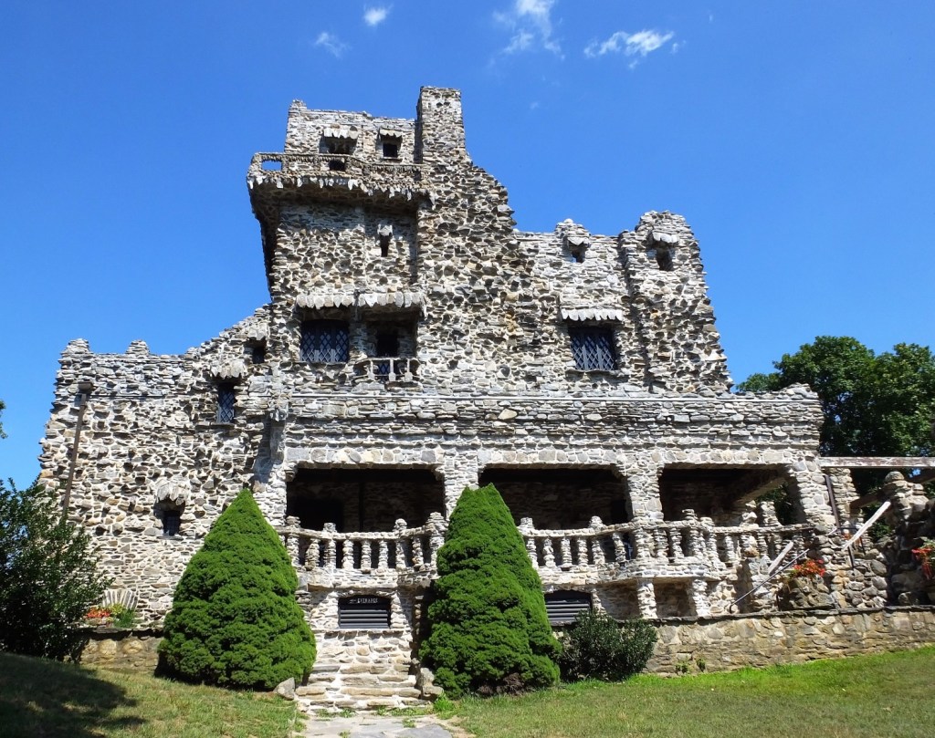
Gillette Castle
Gillette Castle

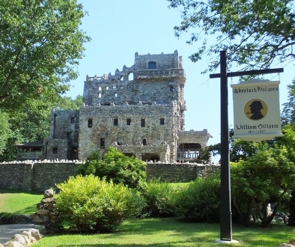
We thought the castle namesake was of Gillette razor fame.  But we learned Gillette Castle was a residence built by William Gillette, an American actor who is most famous for his portrayal of Sherlock Holmes on stage.  Several elements associated with Sherlock Holmes, including his pipe, cap, cloak and expression “elementary, my dear Watson,” can be attributed to Gillette.

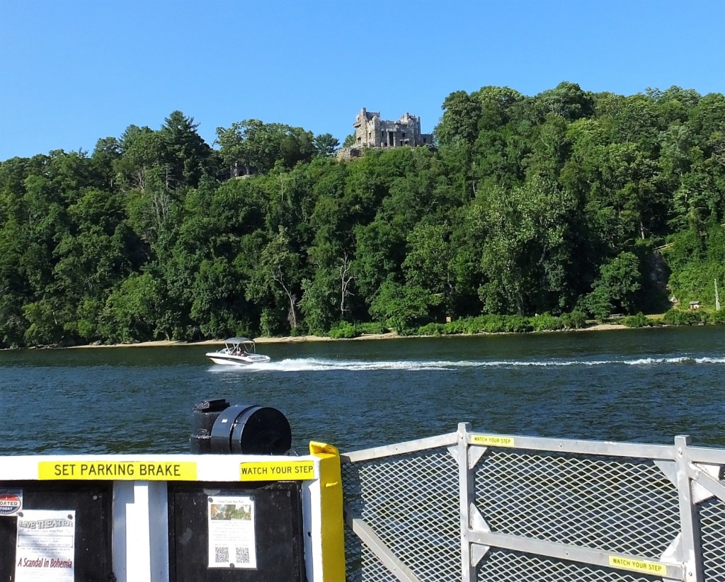
Max on Chester-Hadlyme Ferry with Gillette Castle in background

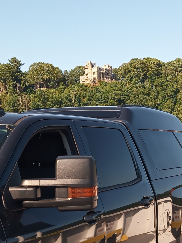
The 14,000 square foot castle sits on a cliff high above the Connecticut River and is covered with Connecticut fieldstone.  From the castle we could see small motorboats and jet skis, large tour boats and an auto ferry on the river below.

We left and followed signs to the ferry landing.  To our surprise, the ferry was boarding its last crossing of the day and a Max-sized spot was available.   The 10-minute trip across the river was fun and gave us a great view of the castle.  The ferry, known as the Chester-Hadlyme Ferry, has provided public transportation across the Connecticut River for more than 250 years!

Gillette Castle above Connecticut River

Next week:  we visit a long time friend in New Hampshire and enjoy a tour of Portsmouth and nearby areas.

White Knuckles, Horse Chuckles and Two Forks

(2022 Newfoundland Ep 1)

When we decided to travel north to cooler temps and magnificent vistas in the Canadian Maritimes and Newfoundland, we knew getting there would pose some driving challenges. 

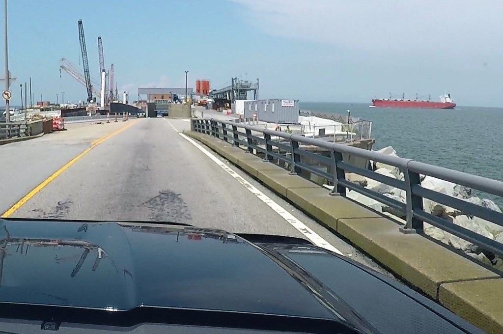
Ed had white knuckles as we drove from Virginia to the eastern shore of Chesapeake Bay via the Chesapeake Bay Bridge and Tunnel.  The four lane (two each direction) bridge portions of the 17.6 mile crossing weren’t bad, but the two one-mile-long tunnels (with one lane each way) were stressful.  What if Oscar hit the side, what if we had a flat tire, what if Max had engine problems, what if…    

But we made it!

As we approached one of the tunnels we saw a Navy Destroyer on one side and a large tanker on the other, both at eye level.

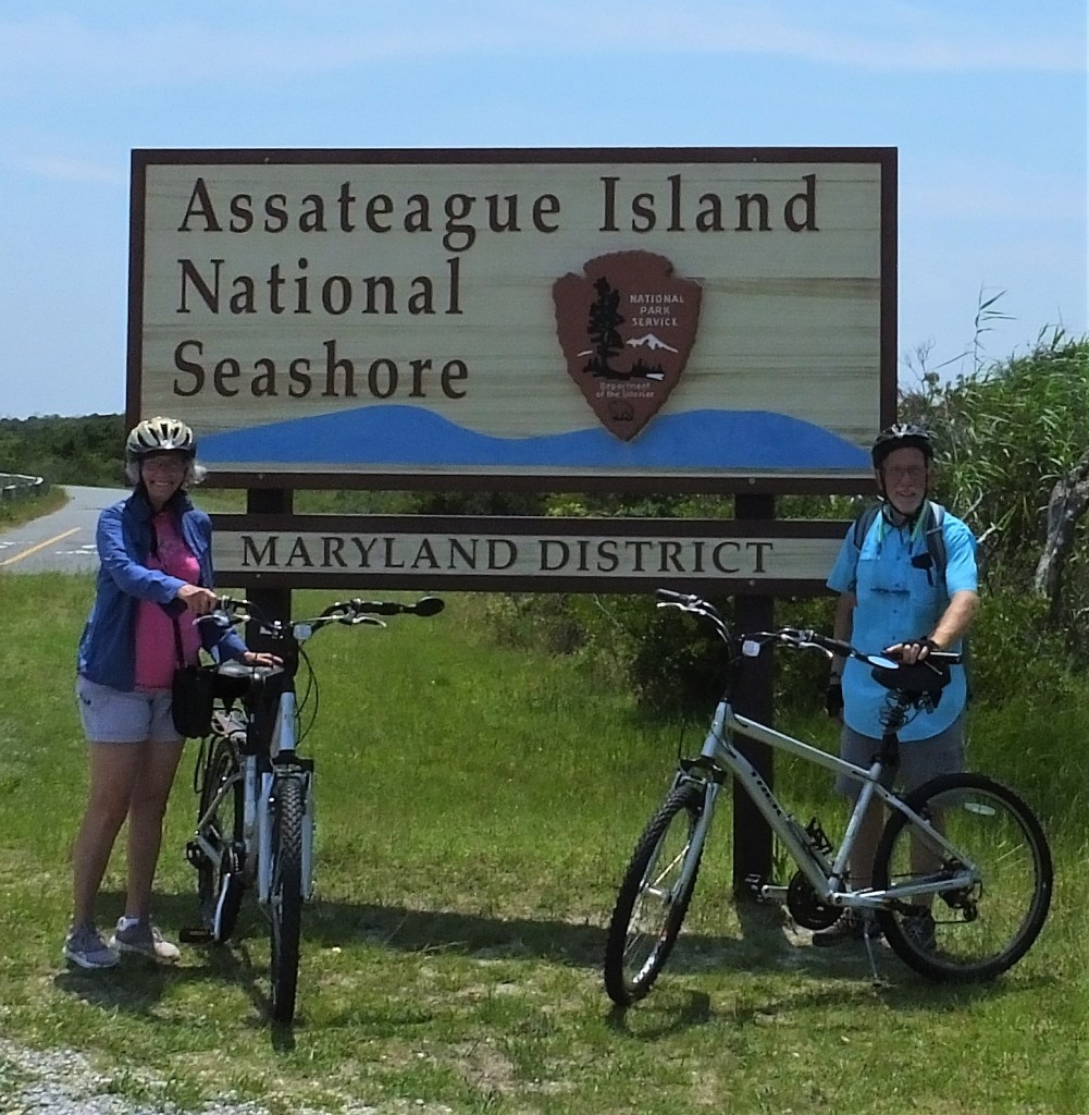
Proceeding northward on the Delmarva peninsula, we camped a couple nights at Maryland’s Pocomoke River State Park.  We visited nearby Assateague Island National Seashore, where we rode our bicycles across a bridge to the barrier island and then several miles south passing nearly full parking lots and crowded beaches. 

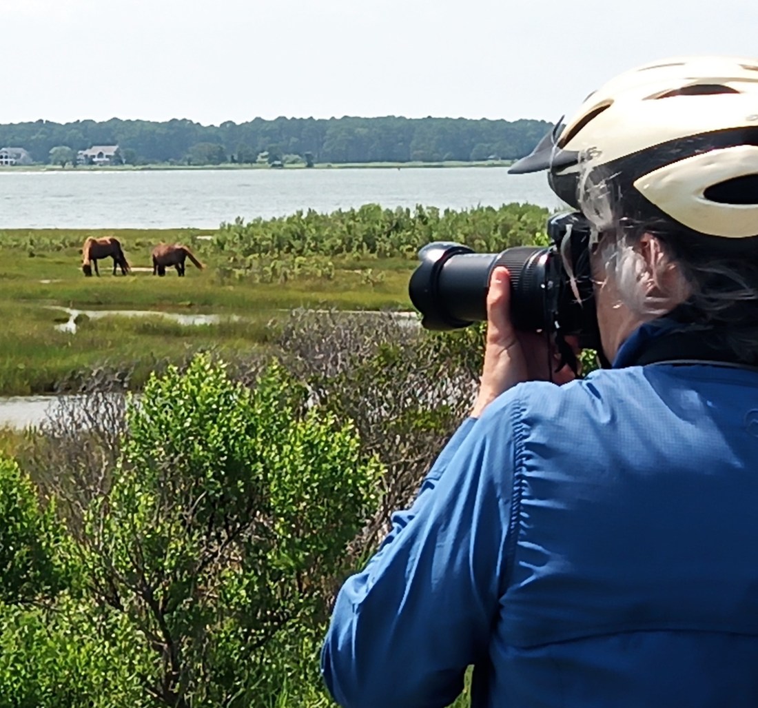
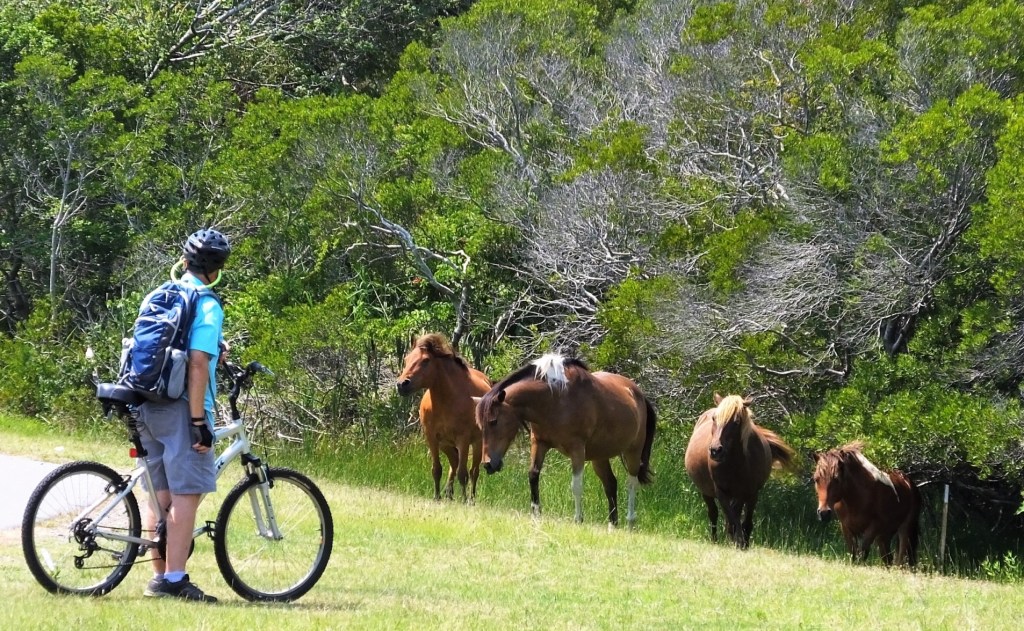
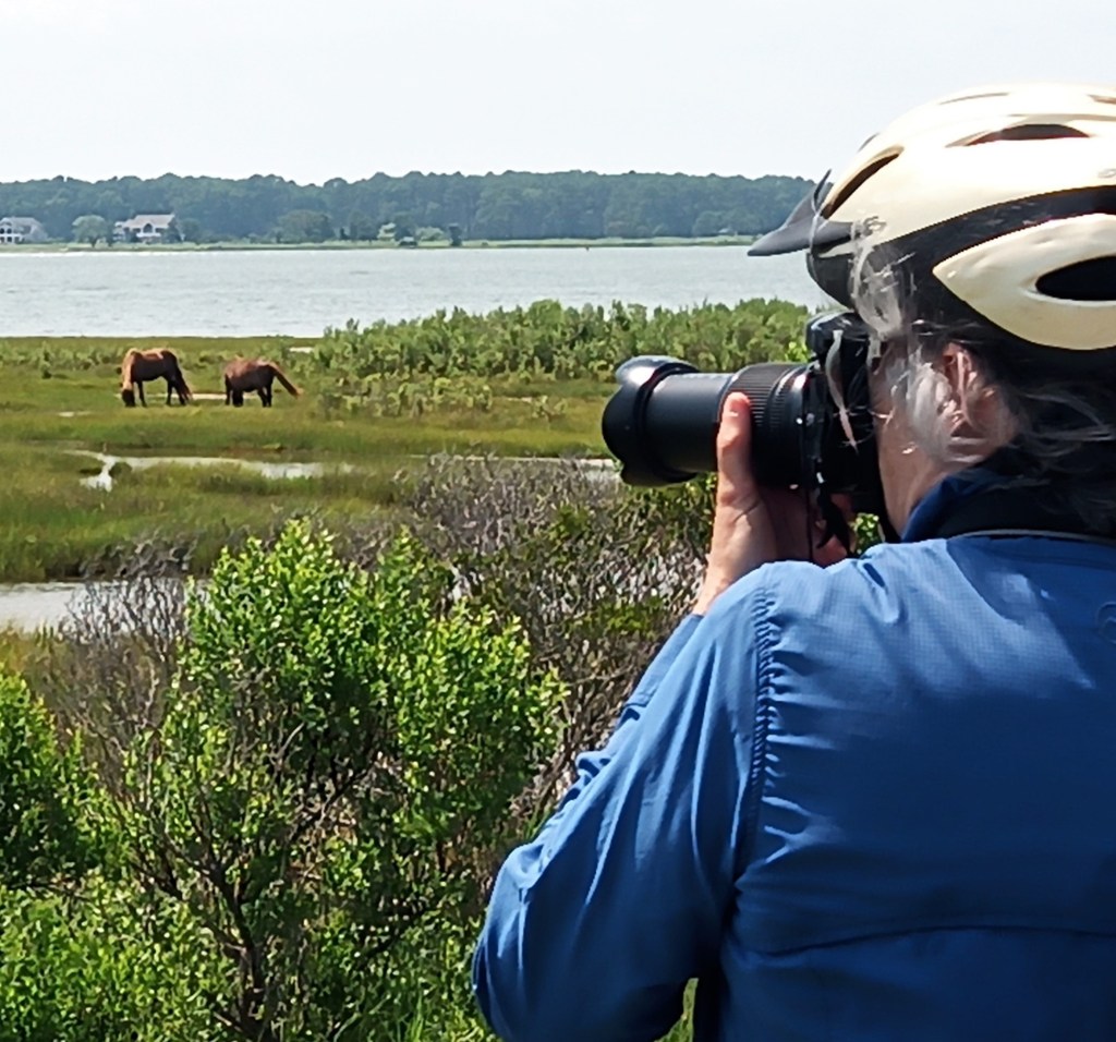
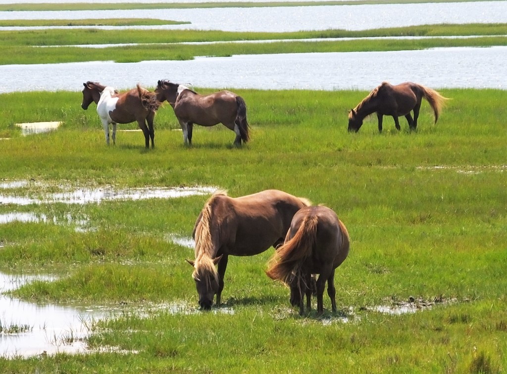
The highlight of the ride was seeing the wild horses that roam Assateague – you see their ‘evidence’ everywhere.  When we stopped to watch and take photos of a group of nearby horses, the horses turned toward us and passed within 10 feet of Ed!

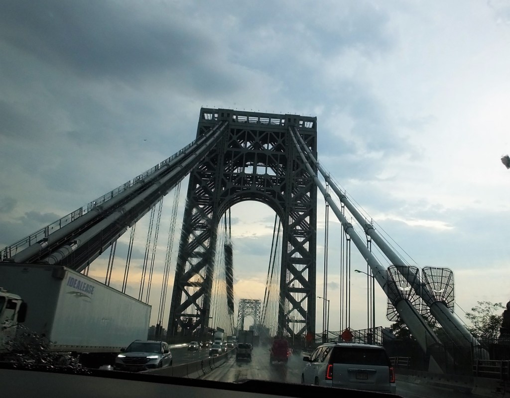
The next day was our second while knuckle experience as we traveled on the New Jersey Turnpike and crossed the George Washington Bridge to skirt New York City.  Traffic was heavy and it began to rain. 

But we made it!

We continued toward our Long Island campground for a four night stay and learned something critical.  Our GPS routed us via the Cross Island Parkway.  As we neared the parkway entrance, we saw signs indicating ‘car traffic only, bridge clearance 7 ft 11 in.’  We quickly rerouted to I-295.  Had we continued on the parkway it would have been disastrous – Oscar is 11 ft 6 in tall!

It turns out all parkways in the area have low bridges and accommodate cars only.

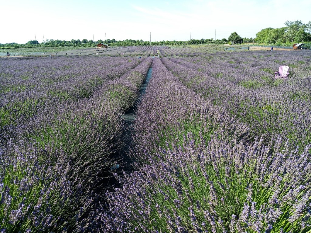
We drove to the northeastern end (called the North Fork) of Long Island one day, past numerous farms and vineyards.  Among them was Lavender By the Bay, with acres and acres of purple-flowered sweet smelling lavender.

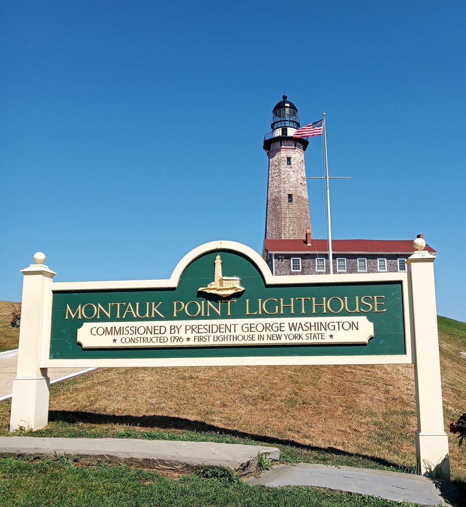
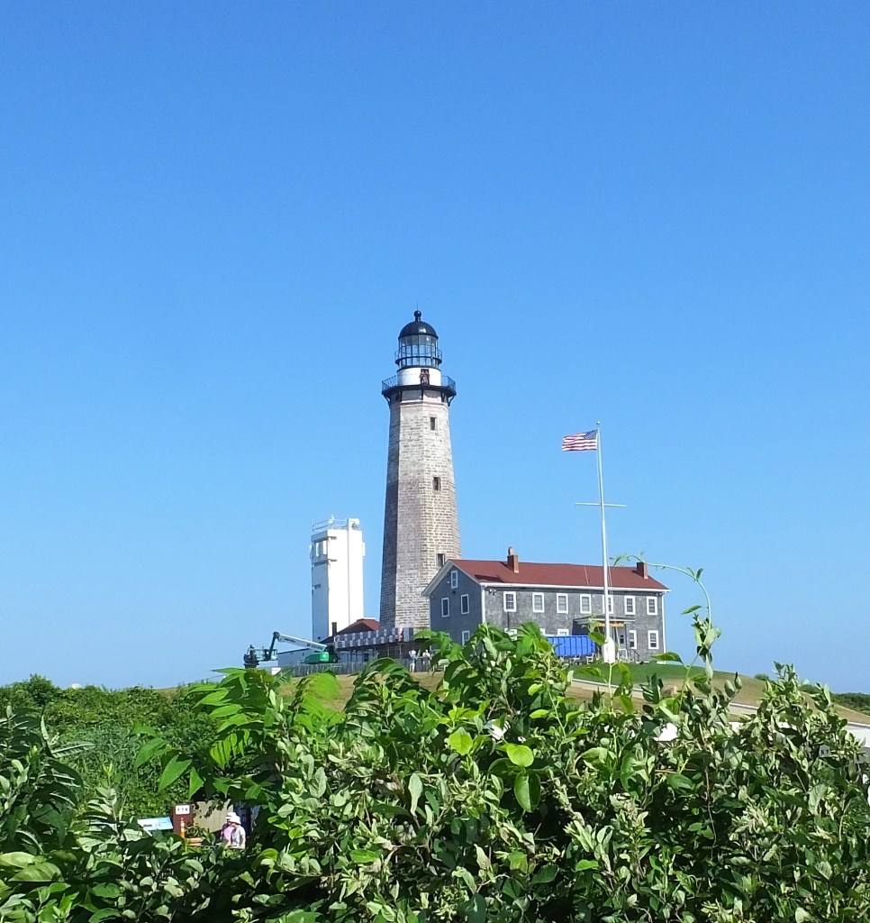
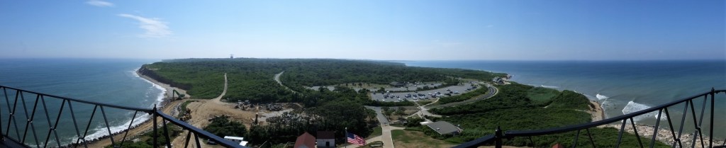
The next day we went to the end of the South Fork to the Montauk Point Lighthouse.  The lighthouse is the fourth oldest active lighthouse in the United States, authorized by George Washington in 1792 and completed four years later.  We climbed 137 steps to enjoy the view from the top of the 110 ft lighthouse.

Next week:

We journey to NYC to see the World Trade Center and 9-11 Memorial, experience a double rabbittrail on the Connecticut River, and more. 

Two Days to Launch!

(2022 Newfoundland Ep 0)

Bright and early Friday (July 15) we launch our trip north to Newfoundland. We’re anticipating cooler temps and lots of new rabbitrails.

Preview of the First Week

  • We’ll head up I-95 and spend our first night at Jones Lake State Park, near Fayetteville, NC.
  • We’ll hang a right (east) in southern Virginia toward Norfolk and cross the Chesapeake Bay Bridge and Tunnel. Nights two and three will be at Pocomoke River State Park on Maryland’s eastern shore.
  • The next four nights will be at Wildwood State Park on Long Island. We’re praying for safe passage with Max (our truck) and Oscar (our travel trailer) as we drive through New York City!
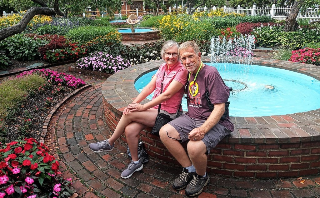
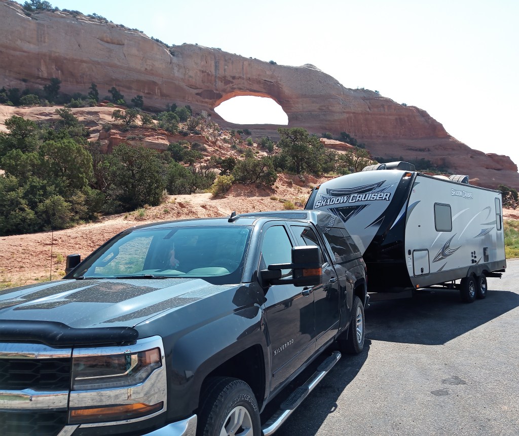
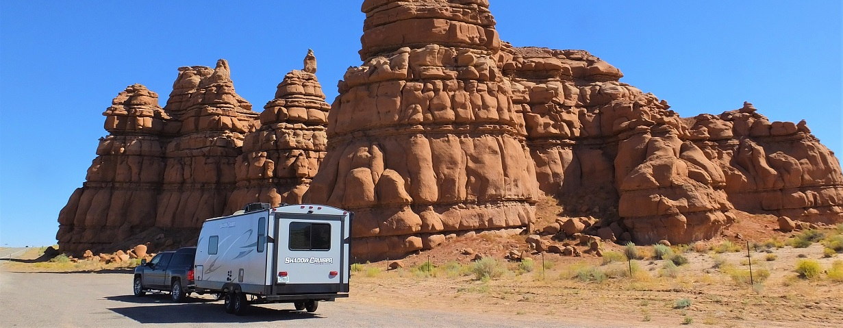
Max and Oscar at Wilson Arch on road to Moab, UT in 2021

Three Rivers Side Trip #3 – Florida Caverns

After spending New Year’s Day 2020 at Three Rivers State Park, we headed a half hour west for a visit to Florida Caverns State Park on January 2.  The park is a few miles outside Marianna, Florida.

As we entered the park, the effects of Hurricane Michael were still very visible.  Once dense forests that lined the road to the visitor center parking area are gone and the terrain is much like Three Rivers State Park – wide open areas with haggard trees here and there.  Homes and other development are visible not far away.    It will take years for the forest to recover.

At the visitor center we purchased tickets for the one-hour guided cave tour.  Tours fill quickly, so it is a good idea to get tickets when you first arrive and then tour the visitor center and park store while waiting for your tour to begin.

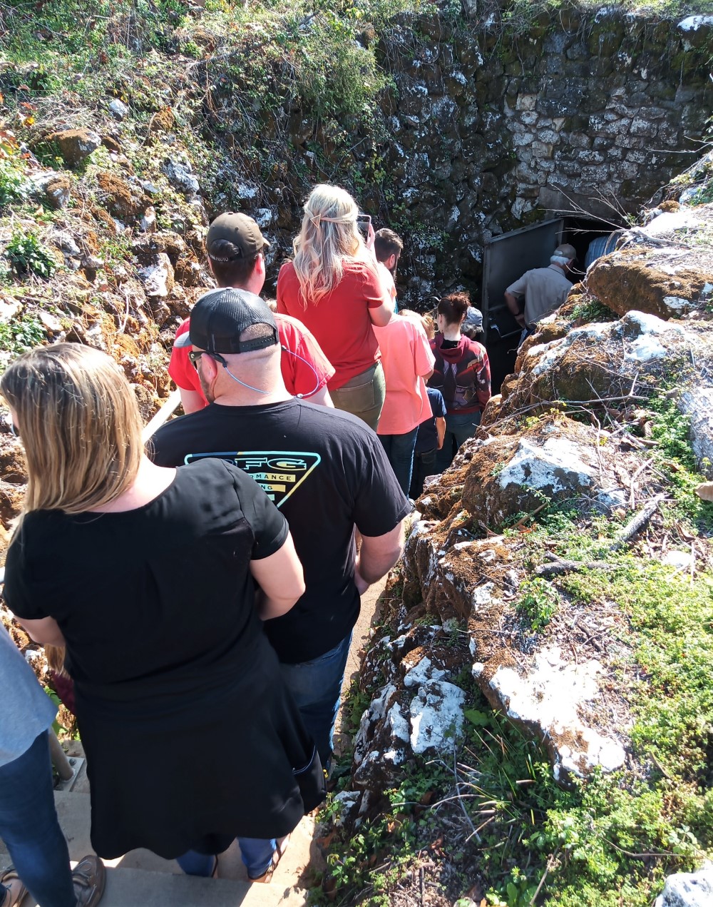
Entering Florida Caverns

The Caverns

Florida sits atop layers of limestone and caves are pretty common.  Most of Florida’s caves, however, are underwater connected to beautiful freshwater springs and reached only using SCUBA equipment.  Florida Caverns is the only air-filled cave in Florida to offer tours.

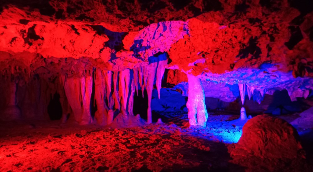
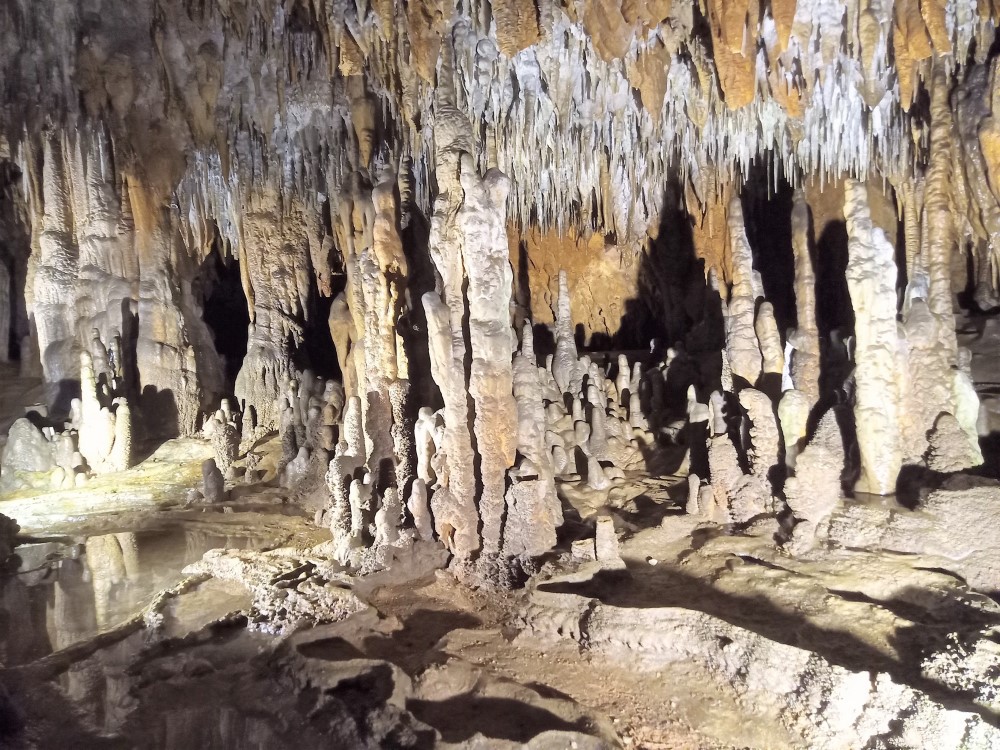
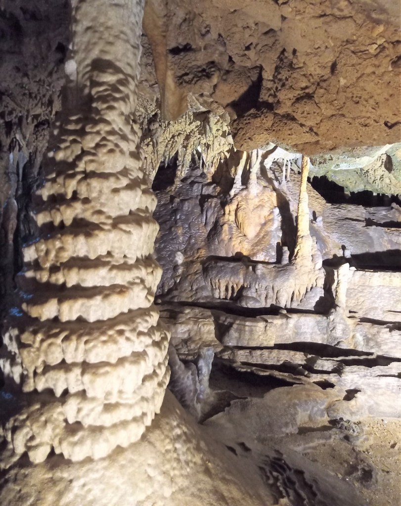
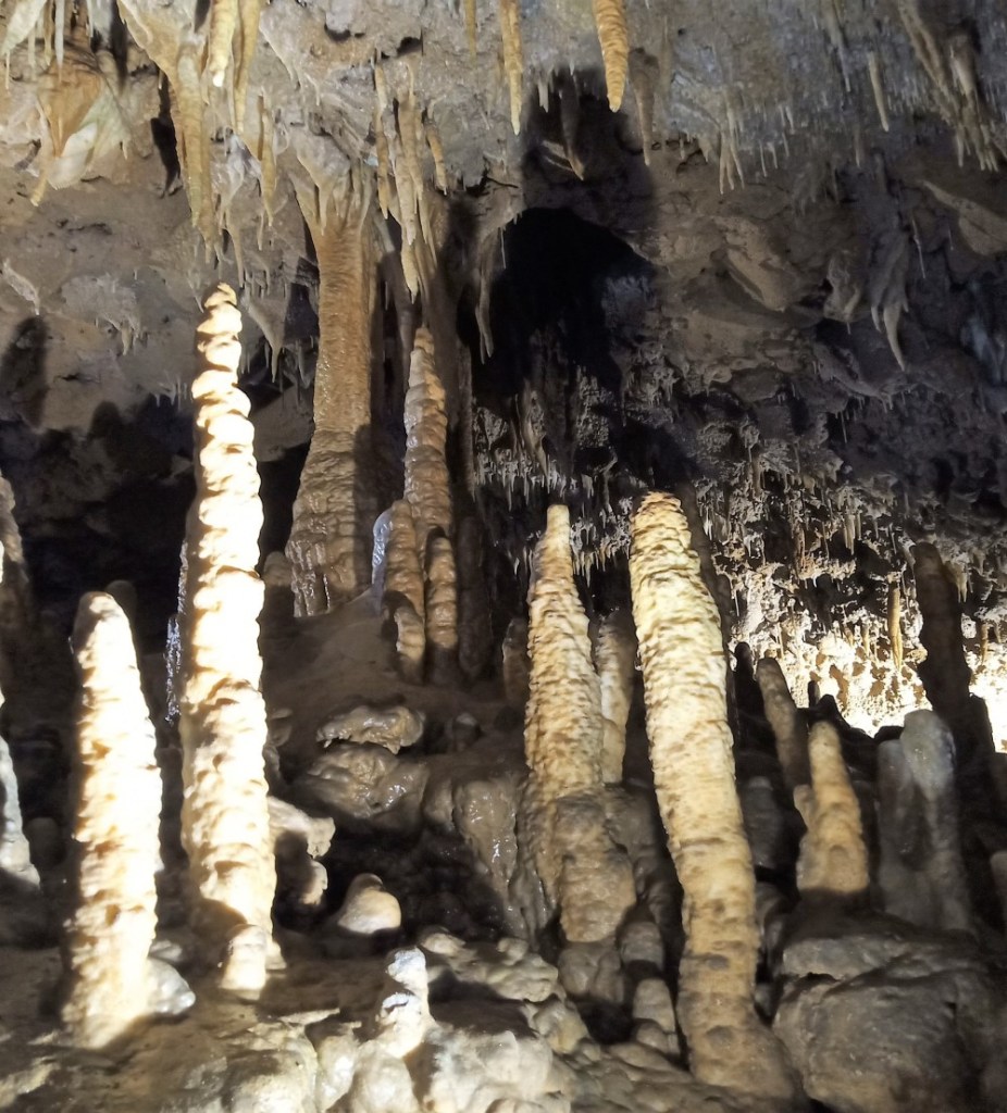
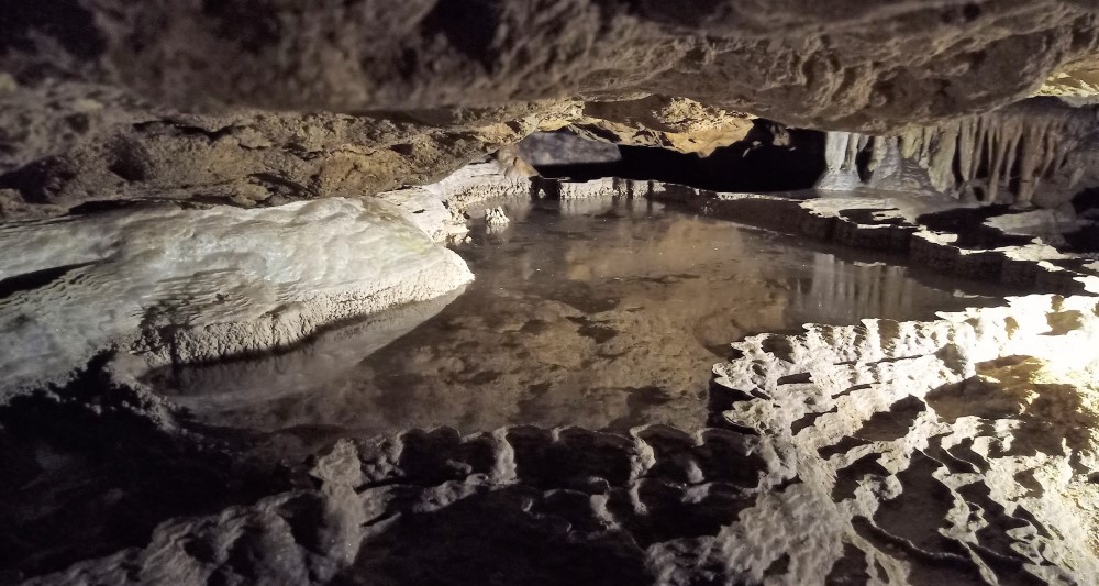
The main cave entrance and portions of the tour were inaccessible due to flooding from recent rains, so we entered the cave through a secondary entrance nearby.  We descended down more than 30 stairs, and once inside, we enjoyed stunning rock formations, including limestone stalagmites and stalactites, flowstones, soda straws, draperies, and more.

Formations 3
View of amazing cave formations

Beginning in the 1930s, the Civilian Conservation Corps excavated the tour cave using pickaxes and hand tools.   Most of the cave passages were originally only a few feet tall.  Tours of the cave have been offered since 1942 and span an area of nearly two acres under the surface.

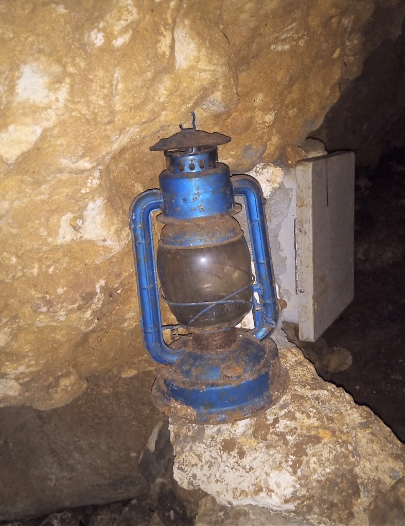
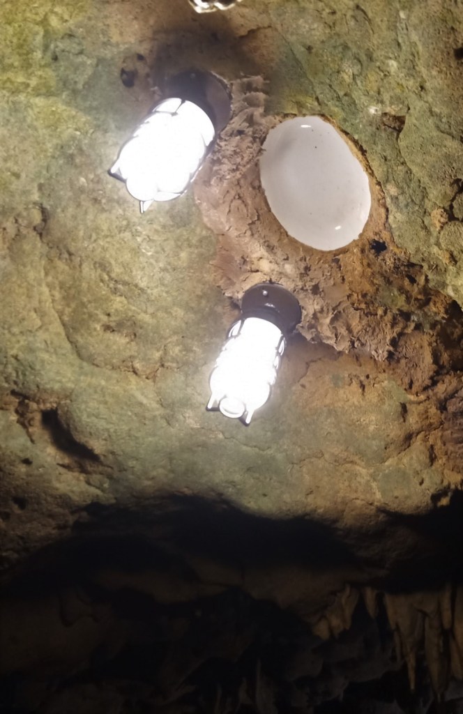
Interesting artifacts that can be viewed in the cave include CCC lanterns and white bowls embedded in the ceilings to reflect the lights.

We learned various animals call the cave home – bats, mice, cave crickets, salamanders, cave spiders and occasionally snakes and frogs.  Fortunately we didn’t encounter any of these during our visit.

Here are additional views of the cavern formations:

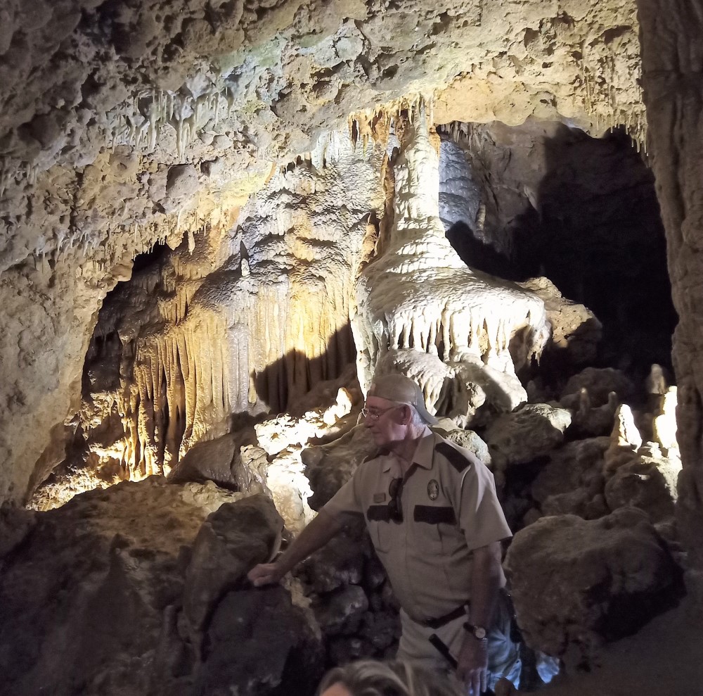
The cave tour takes you up close and personal to the formations in a dozen or so cave rooms, unlike tours of much larger caves like Carlsbad Caverns and Mammoth Cave.

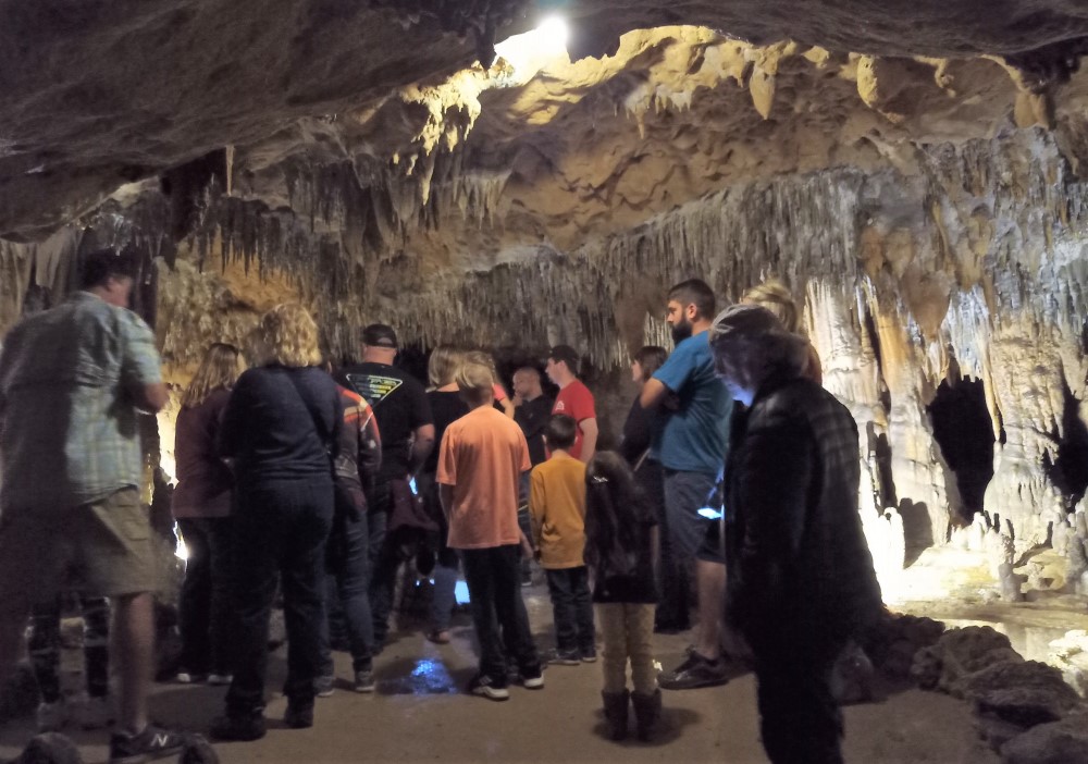
Tour Group
Our tour group in one of the cave rooms
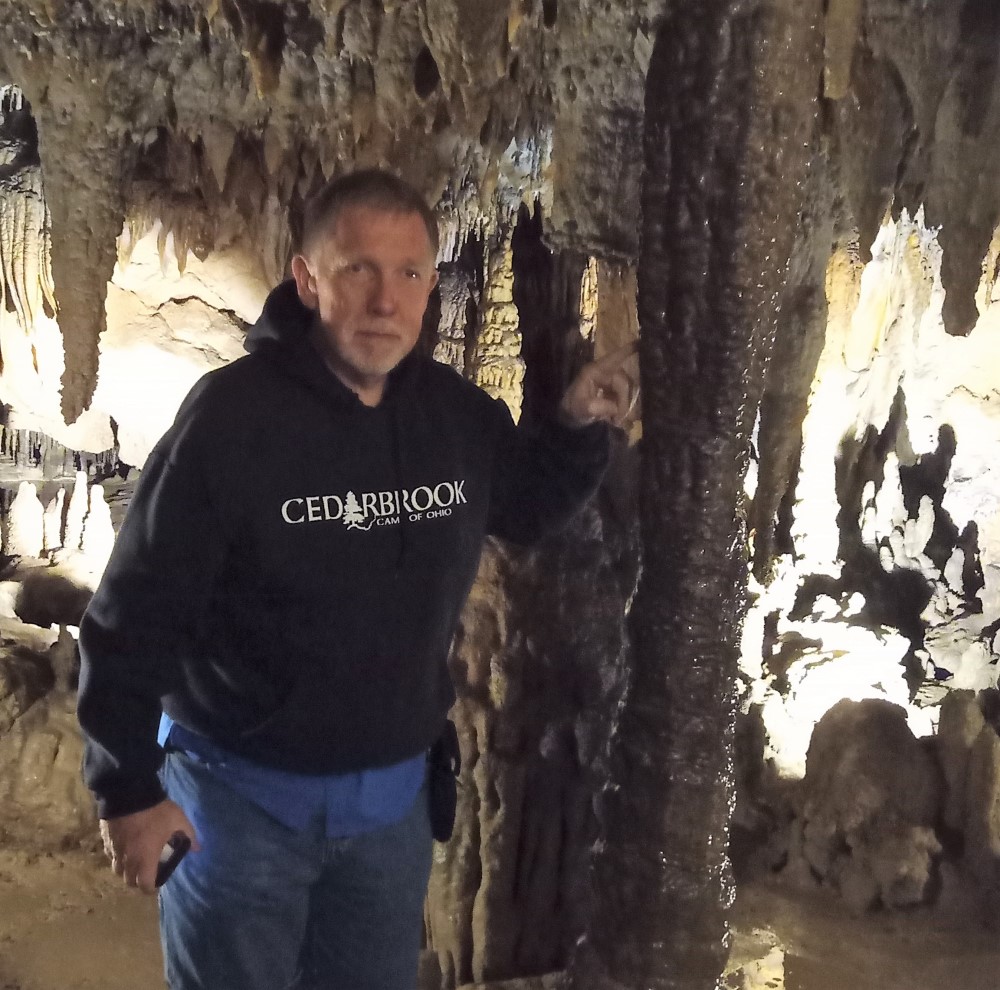
Dont Touch
Visitors were allowed to touch only one formation in the cave, so I took the opportunity!

Florida Caverns are an enjoyable and cool way to spend a morning or afternoon while in the area.

Next week:  we take a blog break as we head to Juniper Springs and Anastasia State Park in search of new rabbit trails!

Three Rivers Side Trip #2: Havana and Thomasville

It was a cold morning at Three Rivers State Park.

We put a hold on outdoor activities and decided to take a day trip to Havana instead. Not THE Havana in Cuba, but Havana, Florida, some 45 minutes away.

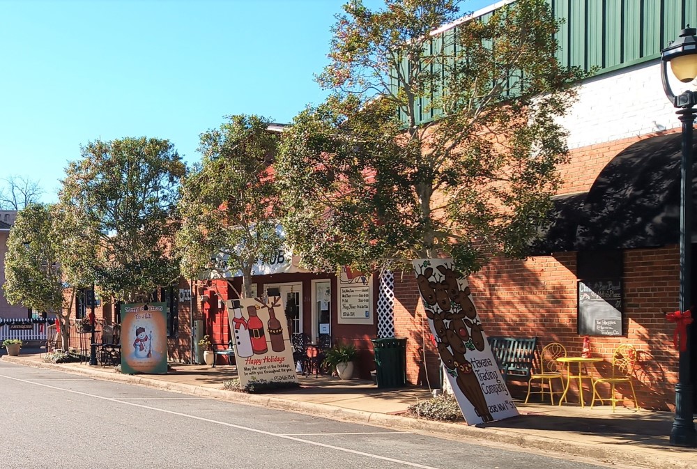
Downtown Havana
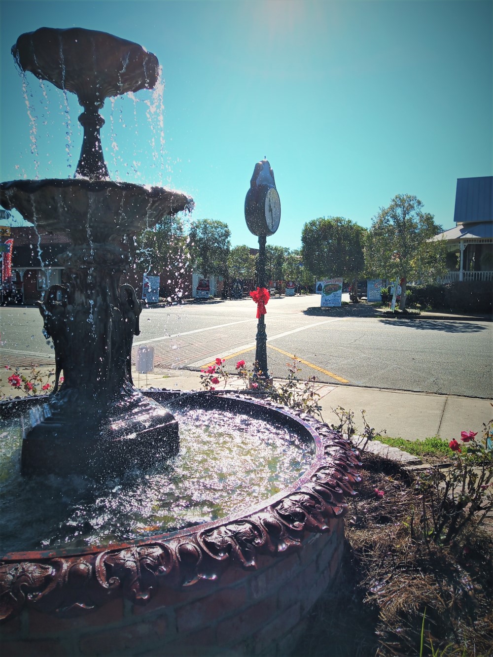
Fountain Entry to Havana

Havana is a small town located a few miles outside Tallahassee.  In 1906, the town was named for its Cuban cousin because of shade tobacco, a major crop grown in the area.  Shade tobacco was used to wrap fine cigars and Havana was one of two areas in the United States suitable for growing the tobacco.

Downtown Havana
Havana Christmas Decorations

In the 1960s, the town fell on hard times when shade tobacco production moved to Central America and elsewhere.  Some 20 years later an antique shop opened in Havana, and the town has since become a quaint destination for antique stores and art galleries.

We visited on 2020 eve, planning to enjoy a relaxed lunch as we looked around.  Christmas displays, lights and large painted wooden greeting cards throughout the town gave it a friendly and inviting appeal.
However, except for a couple furniture galleries, all of the other shops, galleries and restaurants were CLOSED!  We presume this was to get a head start on New Year’s Eve celebrations.

A bit disappointed, we decided to continue our day trip to Thomasville, Georgia.  We resolved, however, to return one day to enjoy what Havana has to offer.


Our route to Thomasville took us through rural Florida into rural Georgia.  We passed by fertile farmlands, dense woods and numerous creeks.

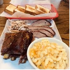
It was lunchtime when we arrived and we stopped at Fallin’s Real Pit Barbeque.  Fallin’s is an old time barbecue that serves mouthwatering ribs, pork, brisket, chicken and much more.  We left completely satisfied.
Our next stop was downtown Thomasville.
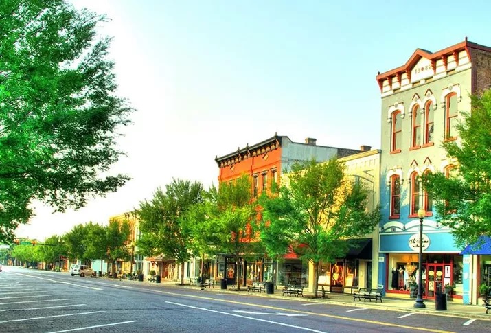
Thomasville
Downtown Thomasville

The town’s central shopping district is nicely done, with interesting shops and restaurants.  We visited a few open shops and before long, decided to head back to the campground.

There is a LOT MORE to see in Thomasville and it would be a great weekend destination for an anniversary or other special occasion.


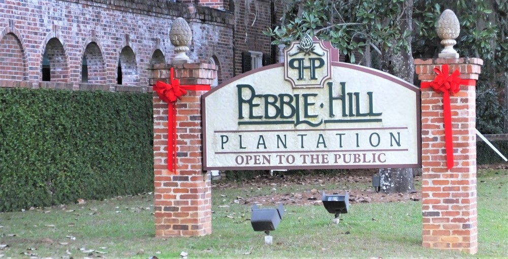
Pebble Hill Entry
Pebble Hill Plantation

On our return trip we stopped at Pebble Hill Plantation, located a few miles south of Thomasville.

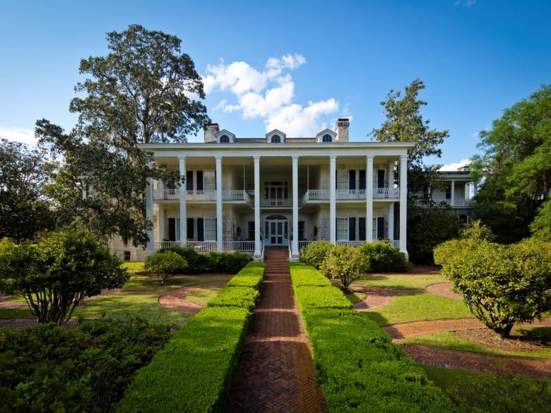
The plantation was established in the 1820s and now includes a beautiful mansion with horse barns and finely manicured grounds.  We took a guided tour of the multi-roomed mansion and an amazing upstairs art collection that included several original Picasso paintings.

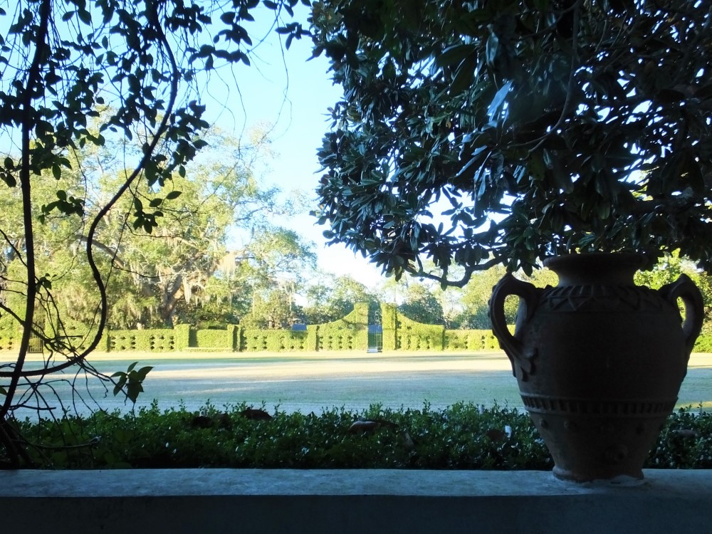
After the tour, we walked through the horse stables and several other buildings, and then around the grounds for more than hour.

Pebble Hill Mansion
Pebble Hill Grounds
Pebble Hill Grounds

Pebble Hill has an interesting history.   The plantation offers a nice half day diversion while in the area.


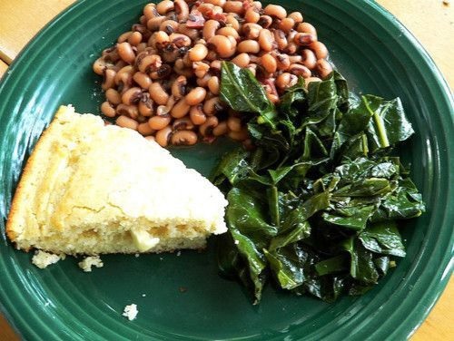
Blackeyed peas and greens
Black-eyed peas and greens – starting 2020 right!

Back at the campground, we ate dinner and settled down for a quiet New Years’ Eve.  Our New Years’ Day dinner plans included black-eyed peas and collard greens – for good luck in 2020 of course!


Next week:  after a low key New Year’s Day. we travel to Florida Caverns, Florida’s version of the famous cave located near Carlsbad, New Mexico.

Three Rivers Side Trip #1: Woodruff Dam

After setting up at and exploring Three Rivers State Park, we wanted to know more about Lake Seminole.  This meant a short drive east from Three Rivers State Park toward the small town of Chattahoochee and the Apalachicola River.

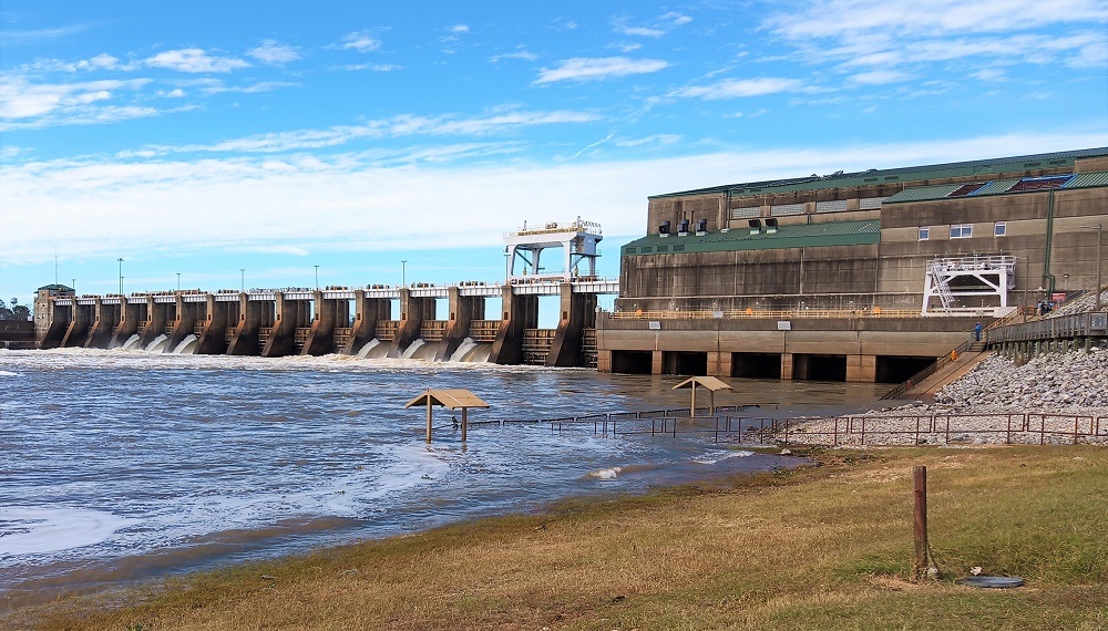
Jim Woodruff Dam 2
Jim Woodruff Dam

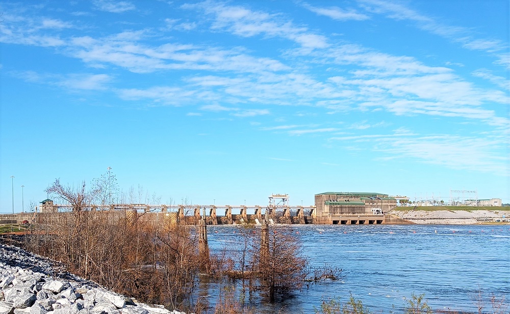
As we crossed the Apalachicola River, the impressive Jim Woodruff Dam was to our left.  It captured our attention as such a dam is rather unusual for Florida.

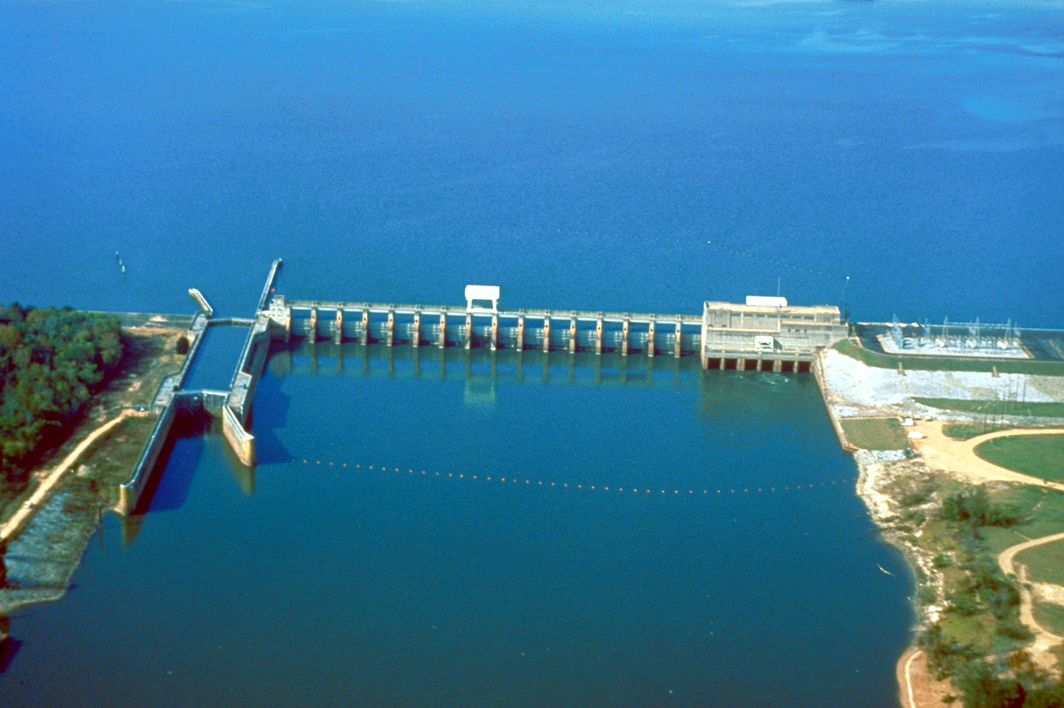
Jim Woodruff Lock-Dam Aerial View
Aerial View (U.S. Army Corps of Engineers photo) 

Completed in 1952, the Woodruff Dam includes a single lock for boats and hydroelectric generators that can power 43,000 homes!

Lake Seminole backs up behind the 1000 ft long earthen dam. The lake is located where the Flint and Chattahoochee Rivers originally came together, covers 37,500 acres and has a shoreline of more than 350 miles.   There are plenty of recreational opportunities in the more than 30 parks and 5 campgrounds all around the lake.

We wanted a closer look at the dam and drove a few miles from Chattahoochee to the dam itself.  We crossed from Florida into Georgia, and then back into Florida before arriving.

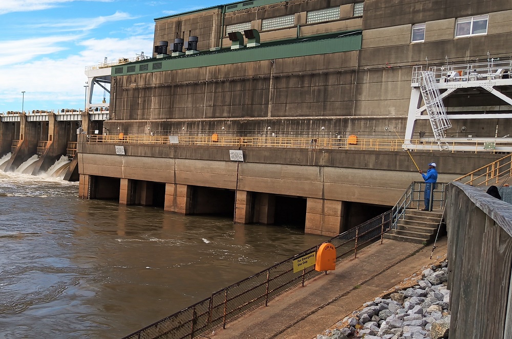
After parking below the dam, we followed a steep sidewalk to get a closer look at the multiple spillways and power generating plant.  From the high sidewalk, several persons held study fishing poles hoping to catch one of large catfish said to live in the deep water below the powerhouse.

Apalachicola High Waters
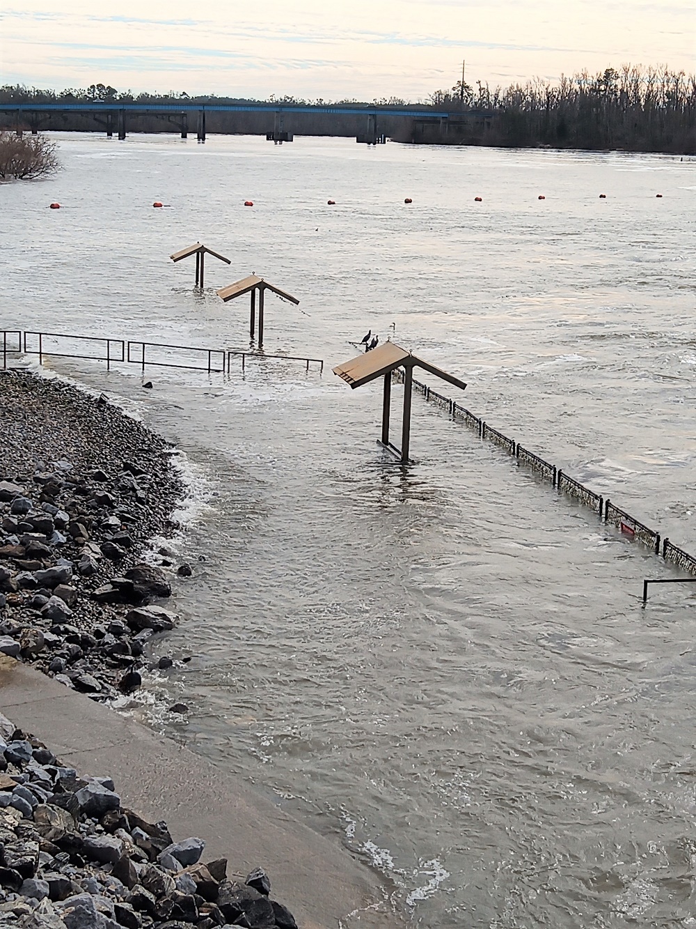
High waters below the dam

There is also a sidewalk and a few covered tables next to the river, but these were temporarily flooded as excess water from recent rains was being released from the dam.

From another parking area nearby, we had a broader view of the dam, lock and spillways, and the bridge we had driven across earlier.

The dam is a nice half day diversion from Three Rivers State Park, with opportunities to walk a bit and look around.  A small Corps of Engineers visitor center is nearby with additional information about the dam and Lake Seminole.


Next week we’ll explain why the best time to visit Havana is NOT just before New Years.  We had to continue on to Thomasville, Georgia – a beautiful southern town with great bar-b-que, a scenic downtown and historic plantation nearby.