(2025 Balloons and Beyond Ep 13)
RabbiTRAILS is now AD FREE
We hope you enjoy the less-cluttered format!
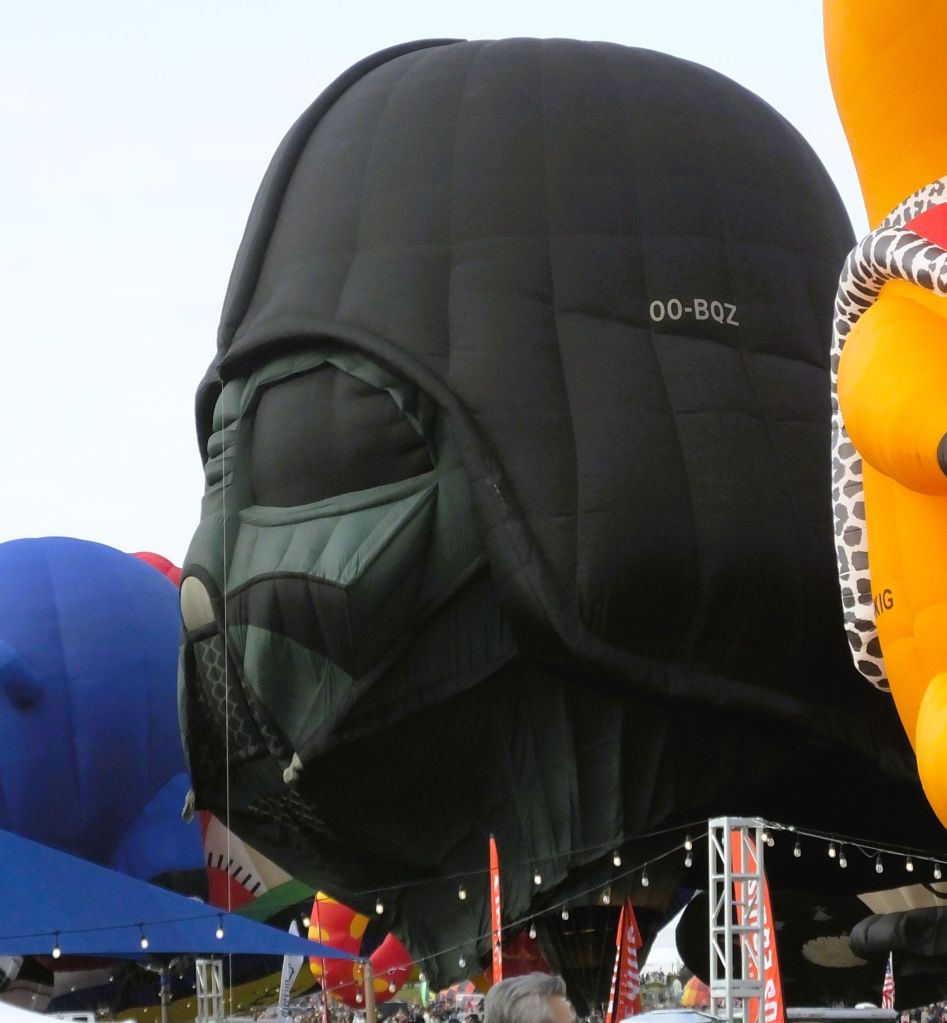
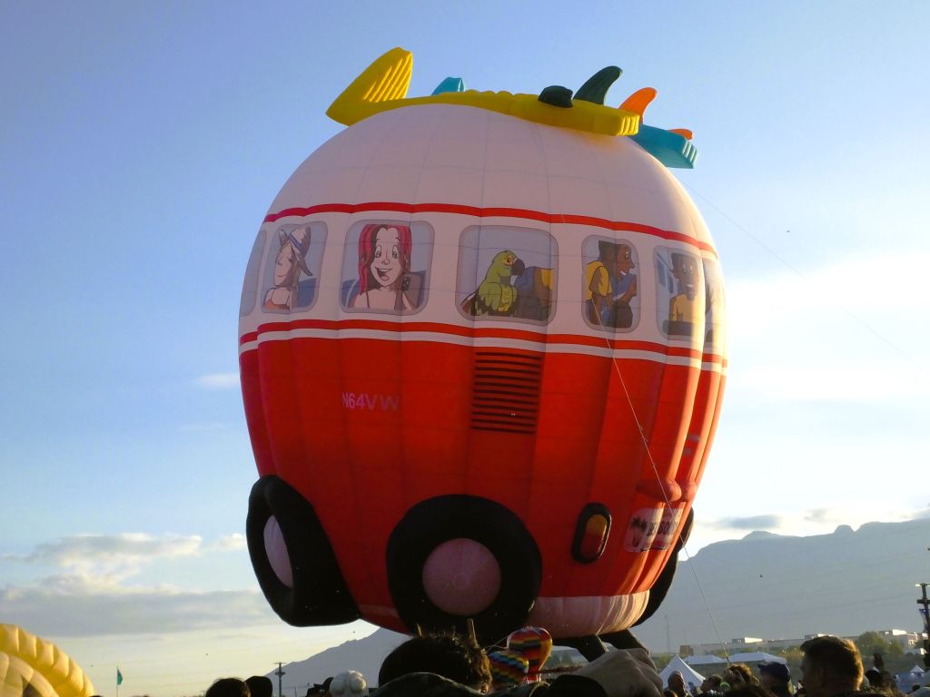
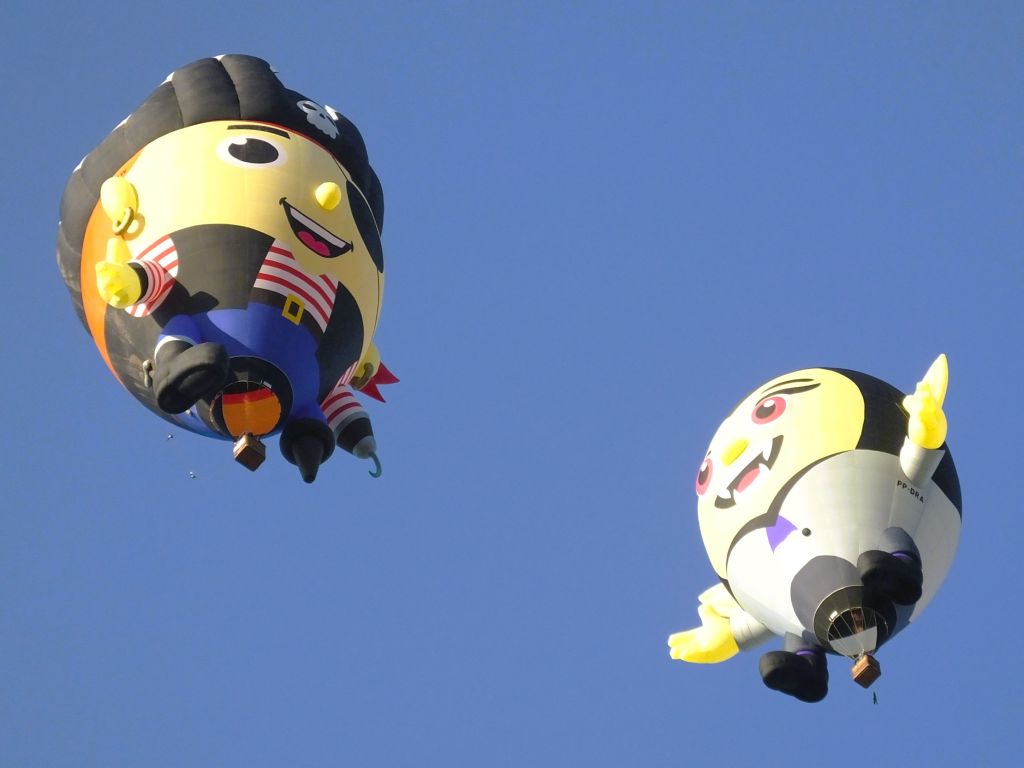
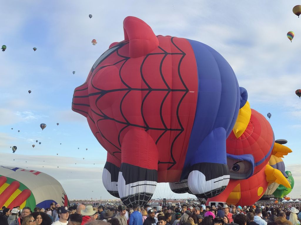
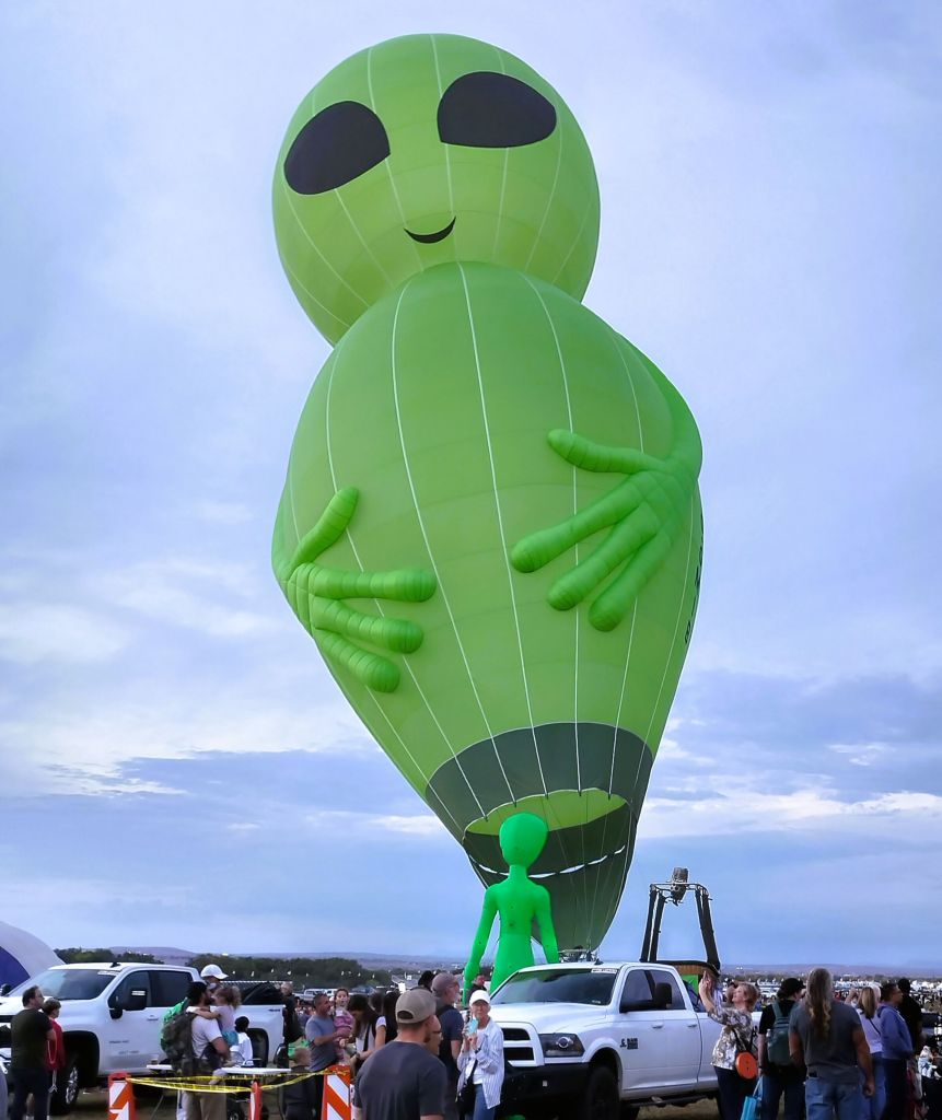
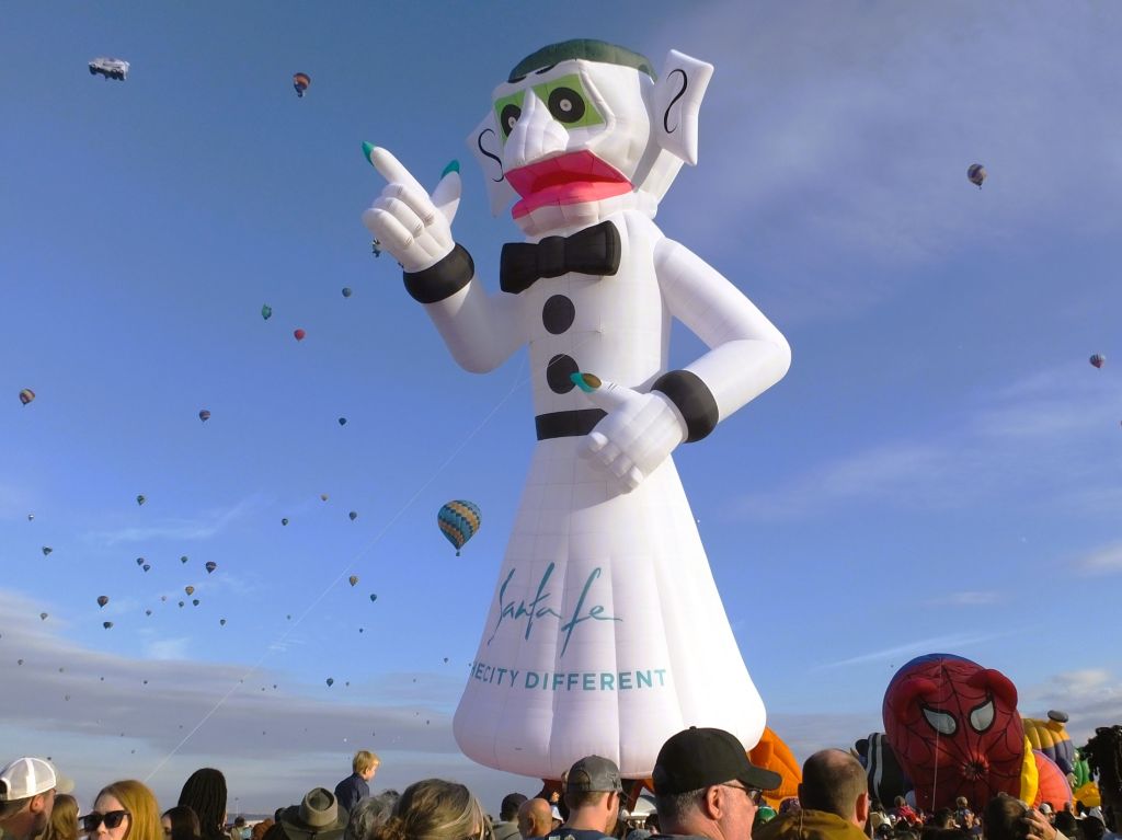
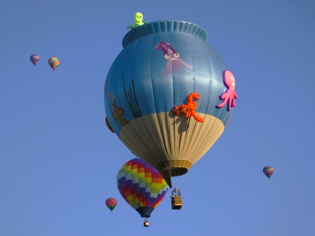
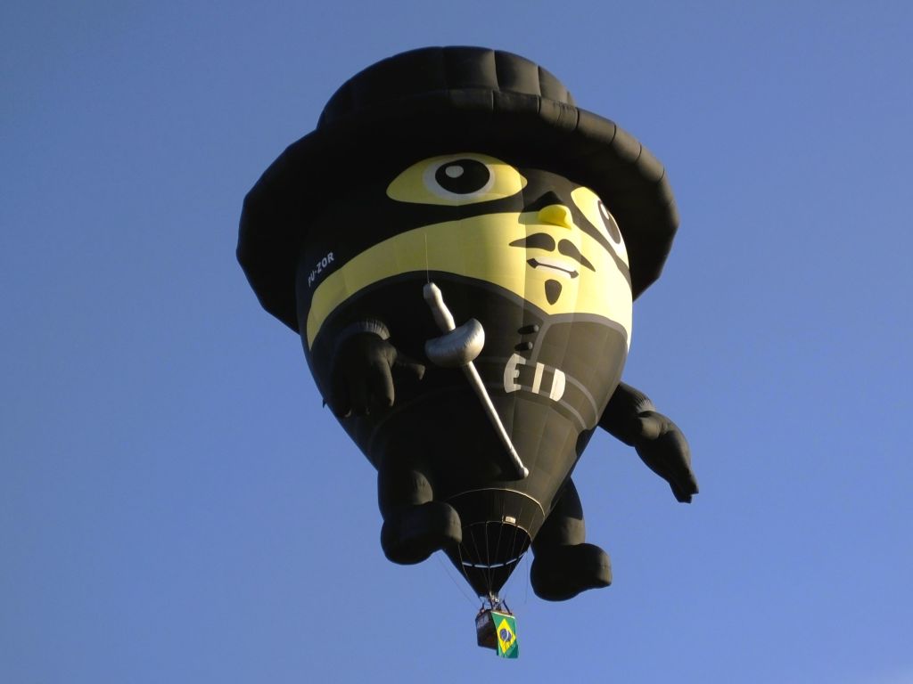
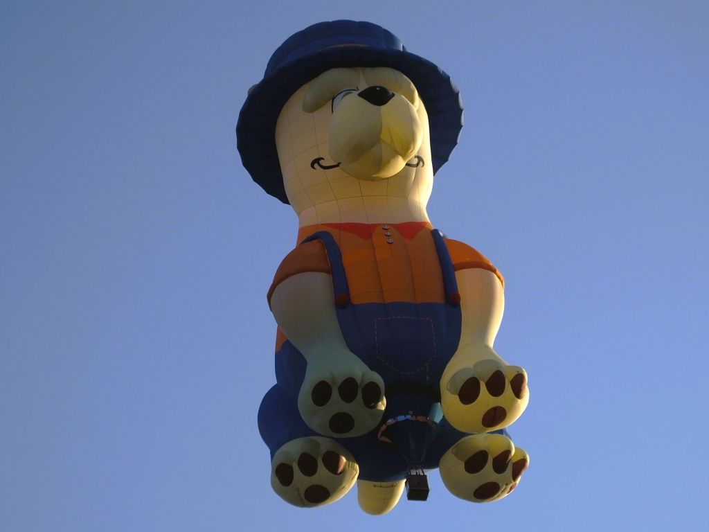
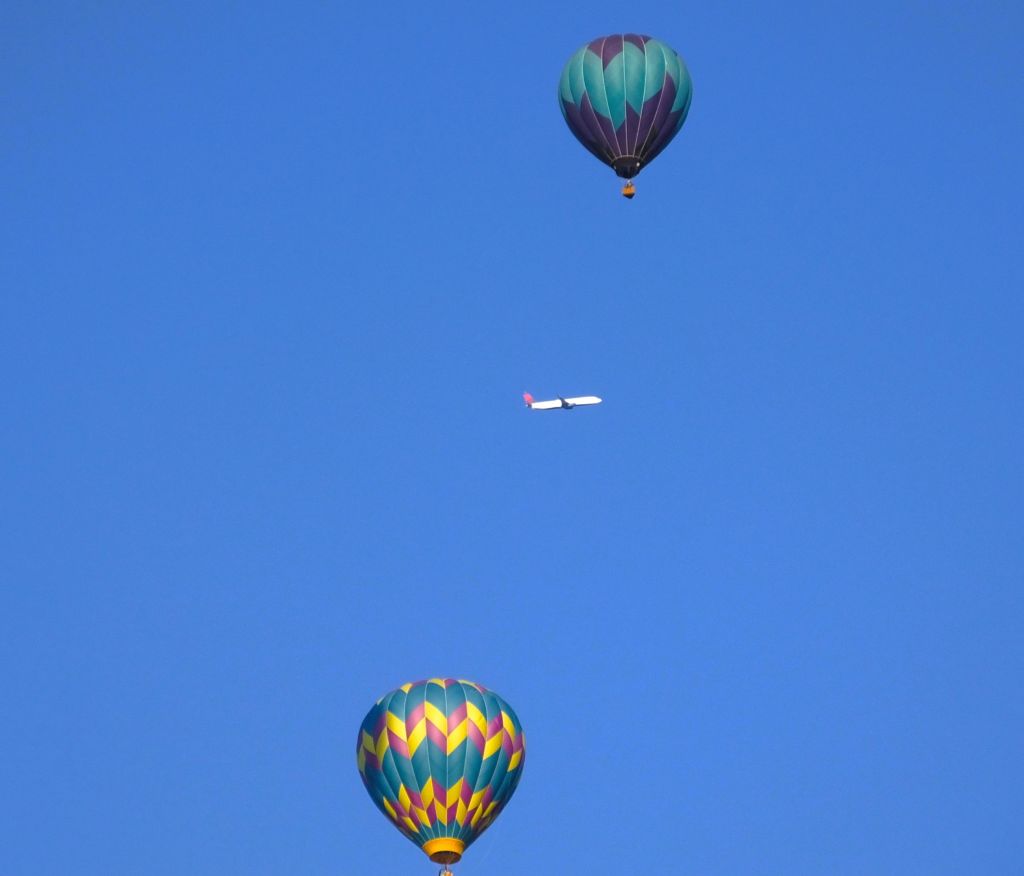
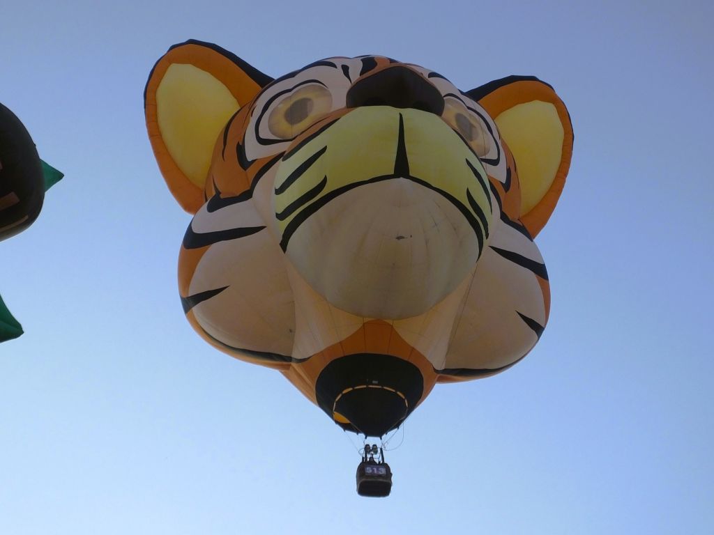
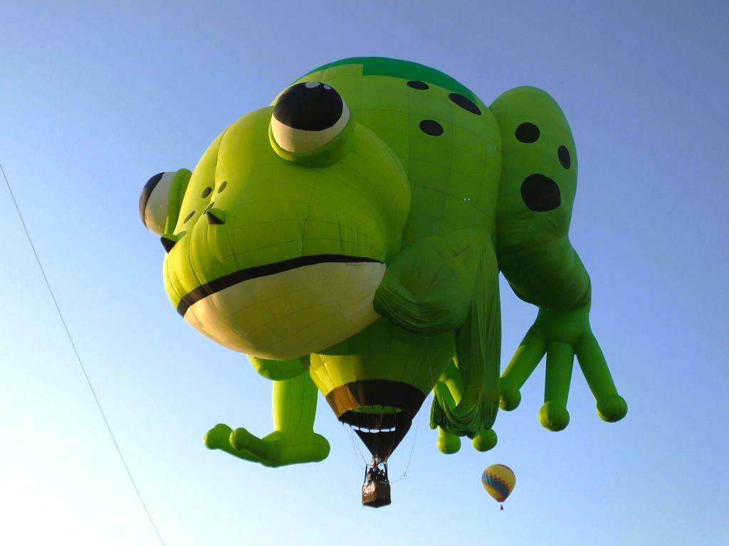
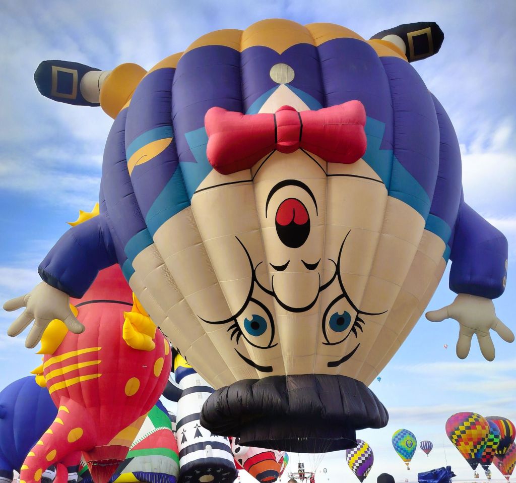
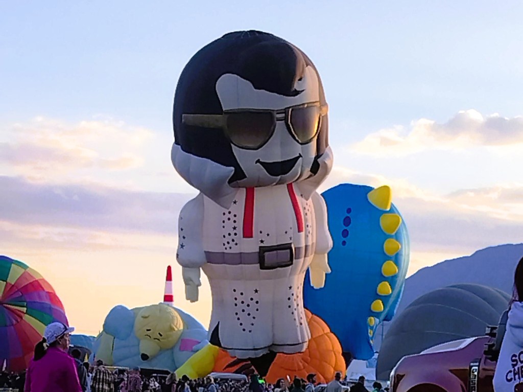
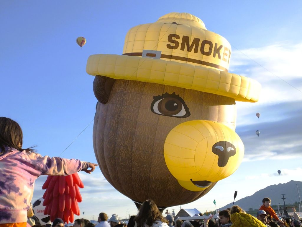
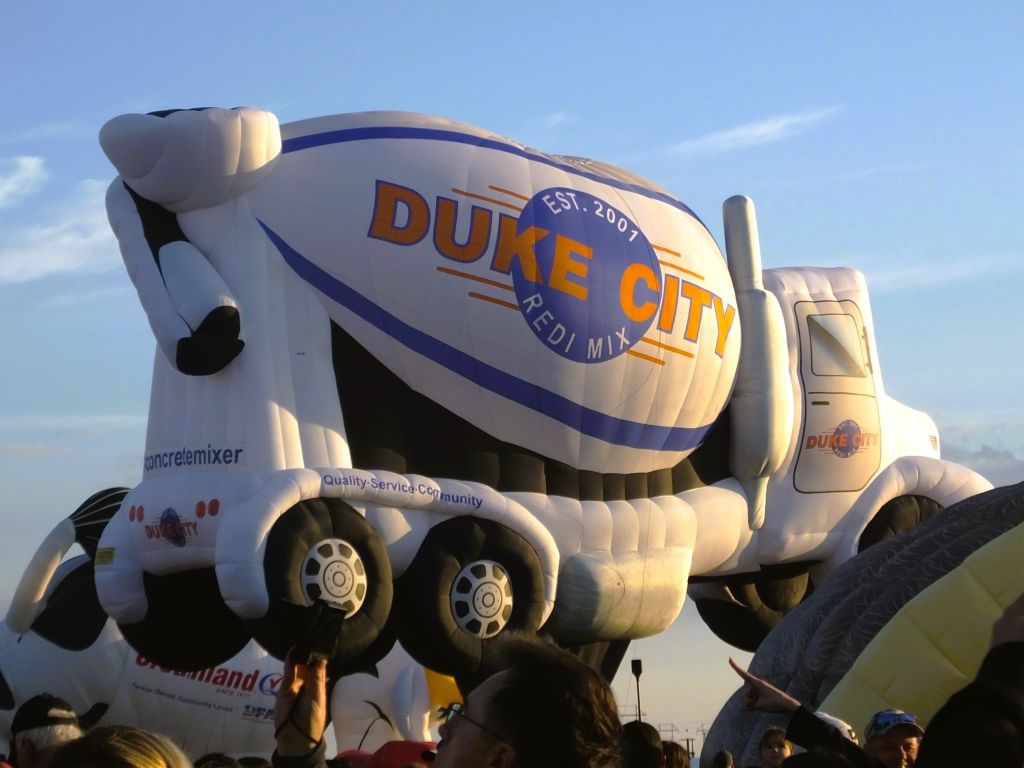
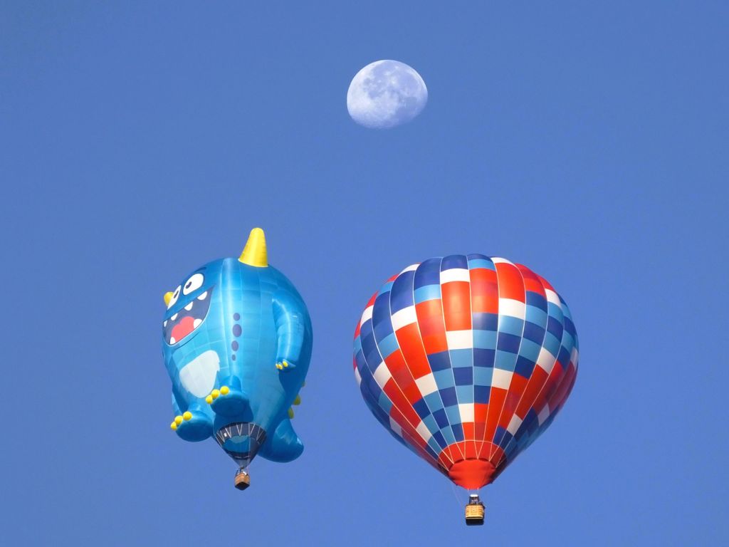
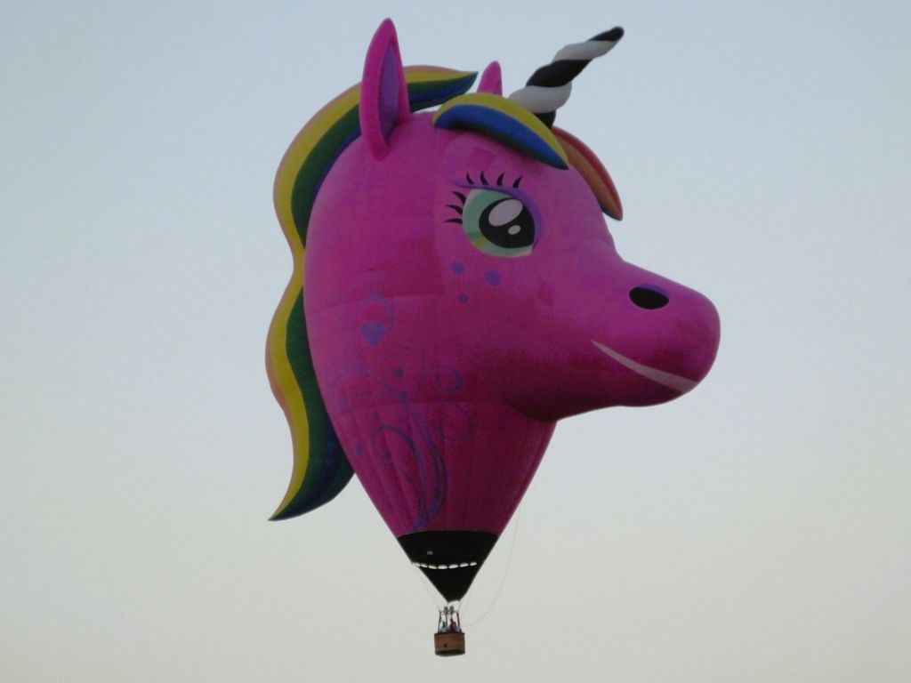
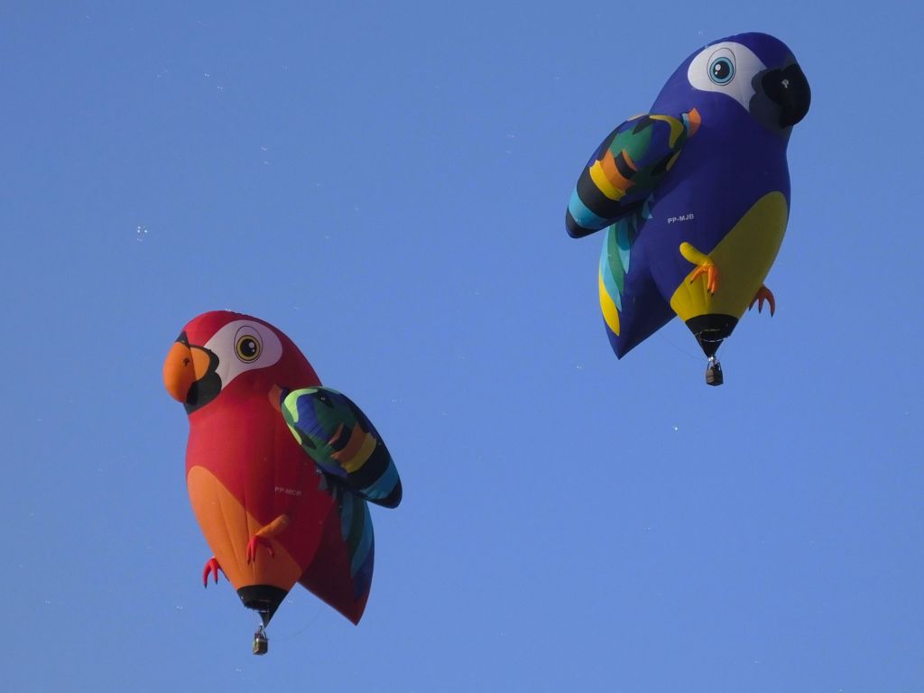
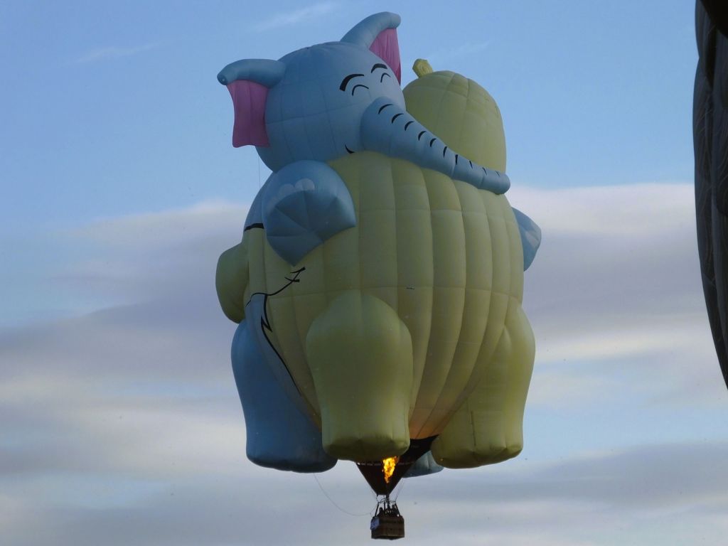
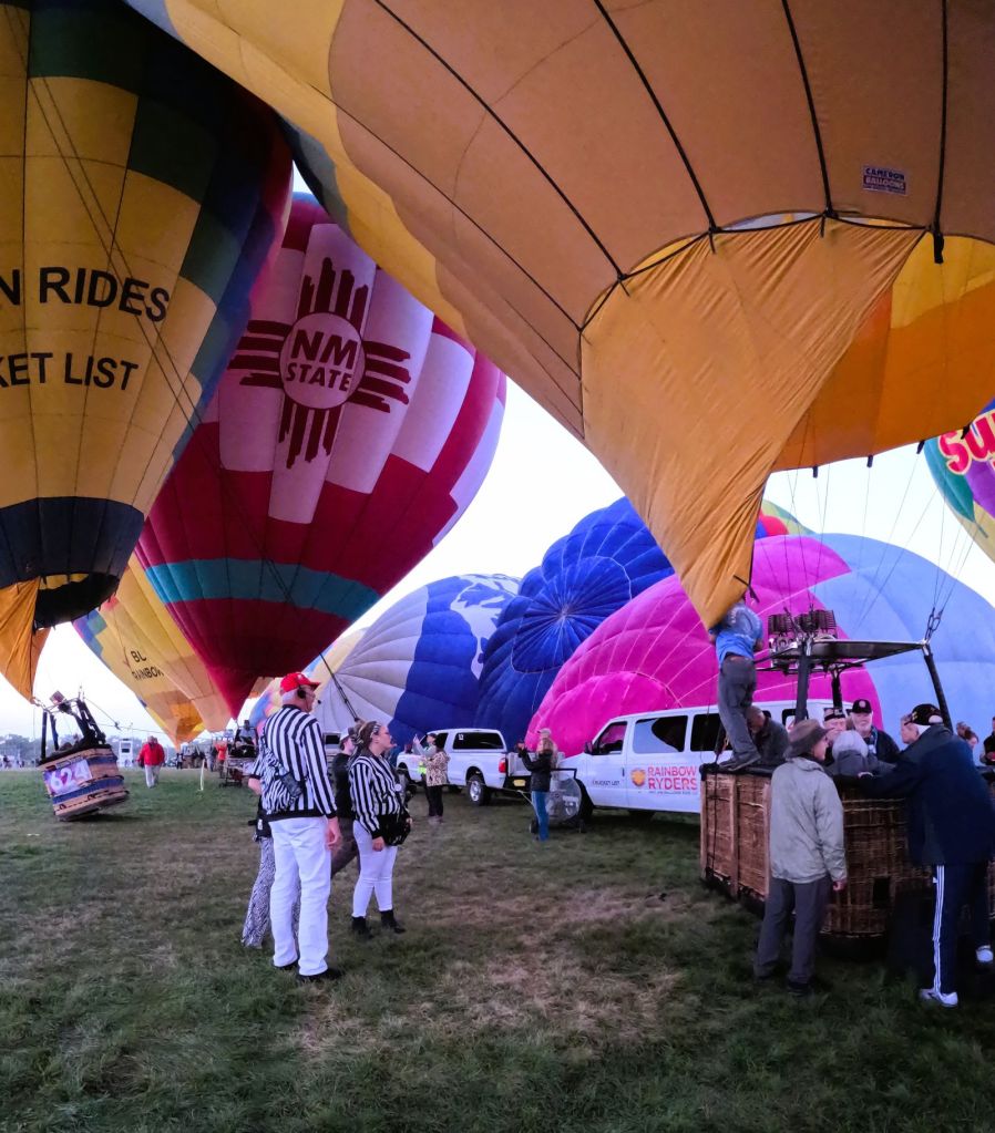
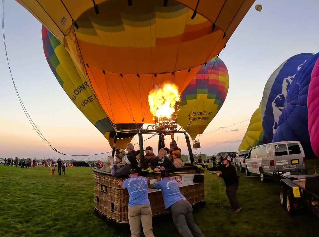
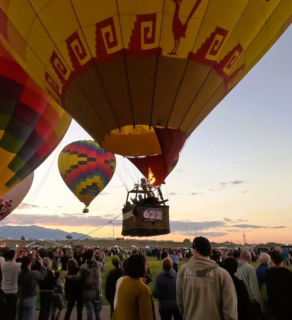
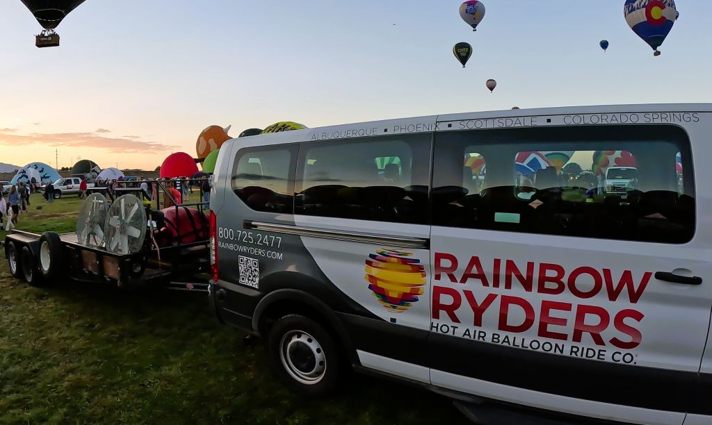
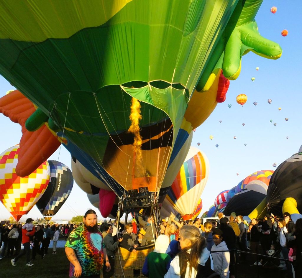
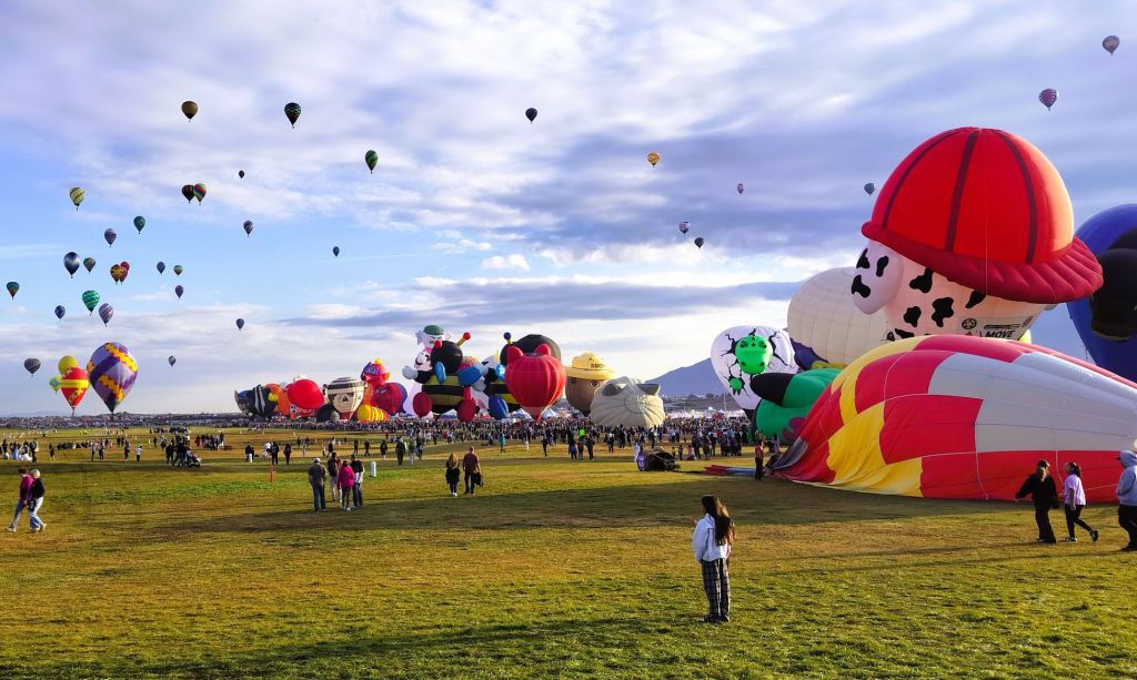
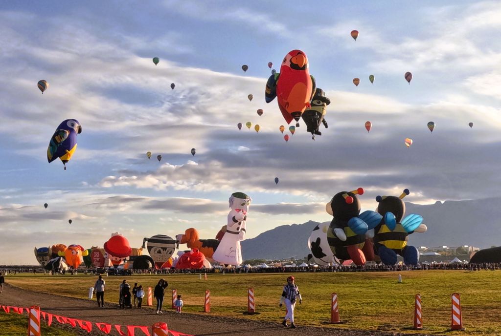
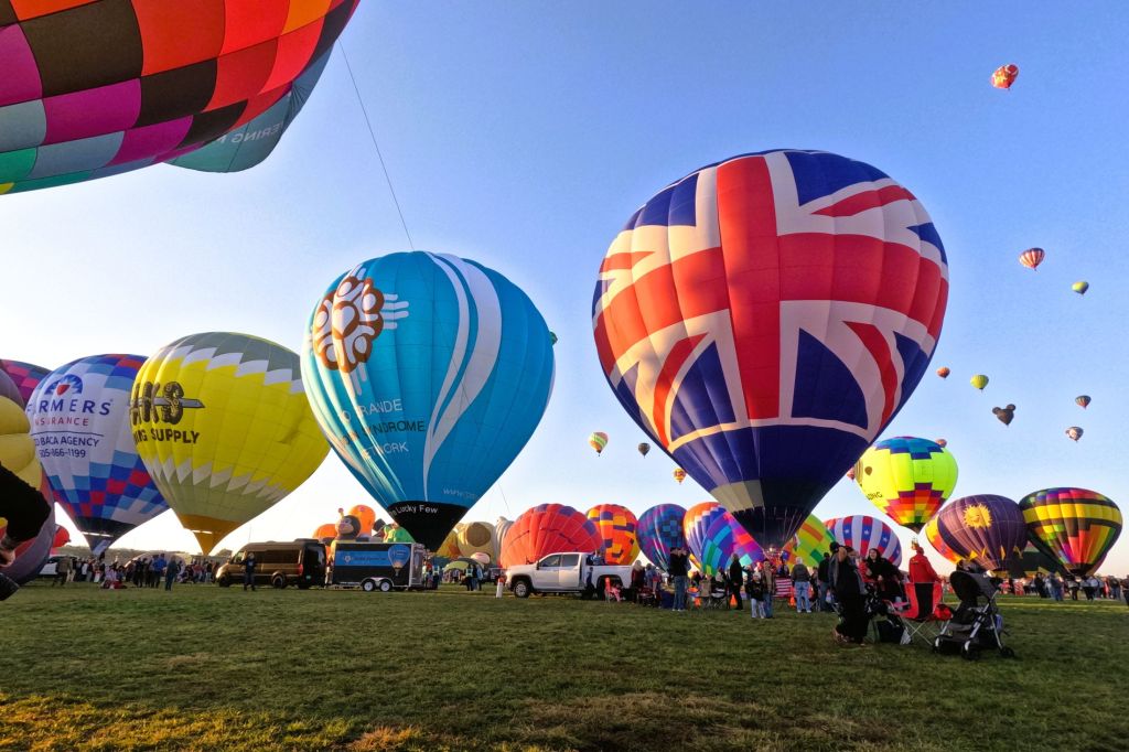
Balloons…
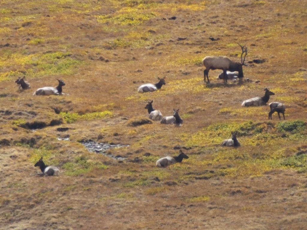
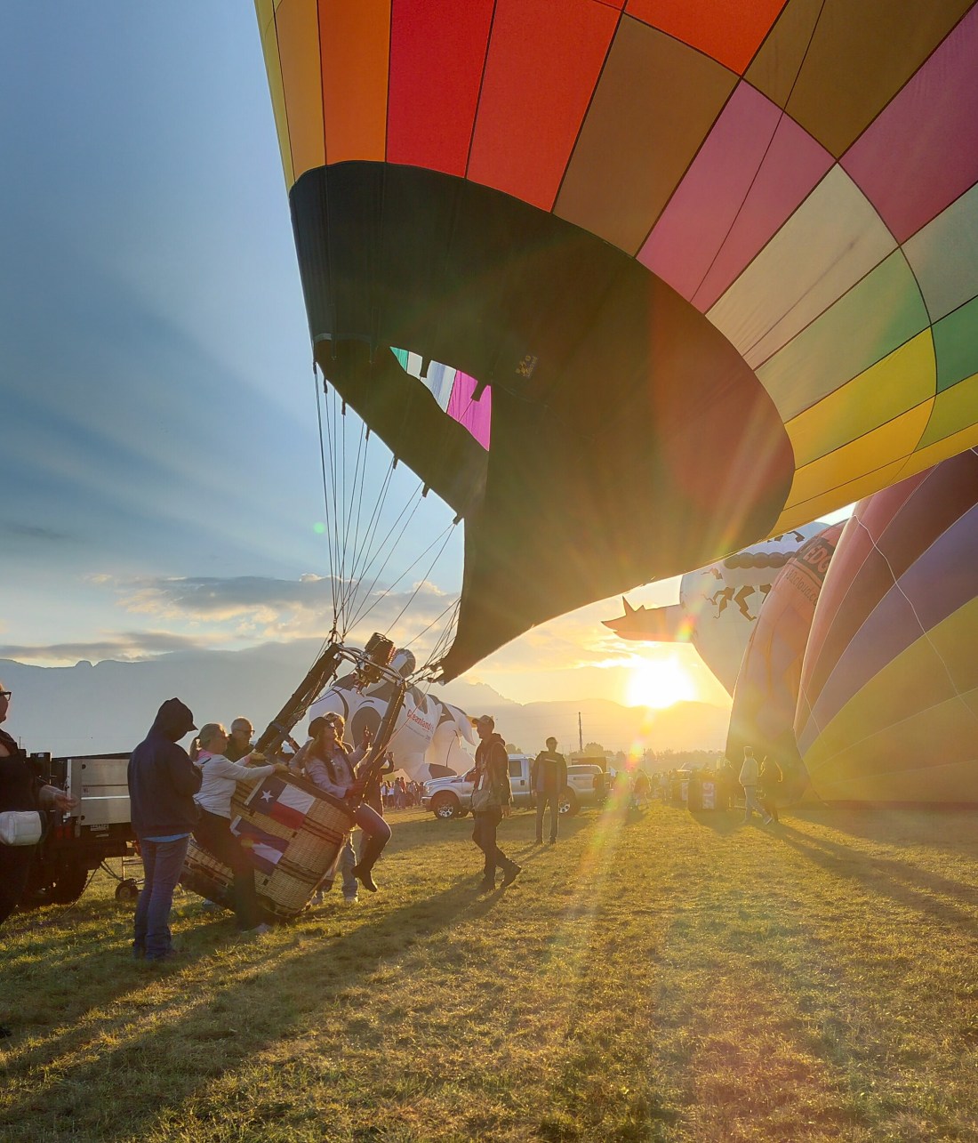
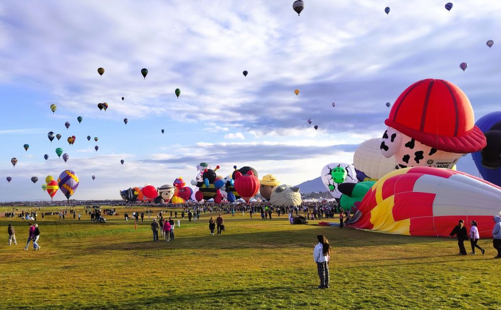
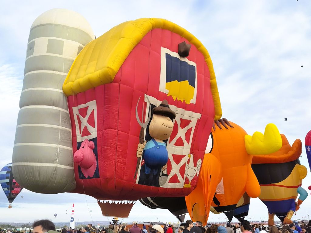
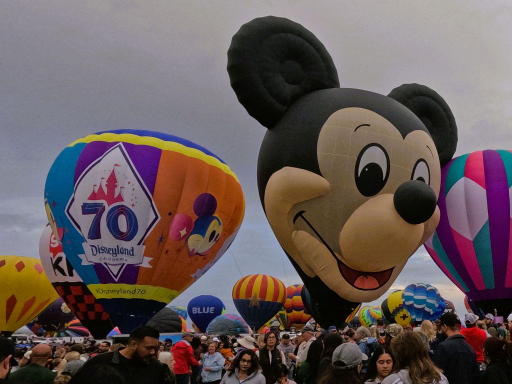
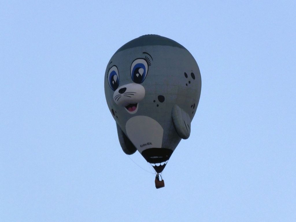
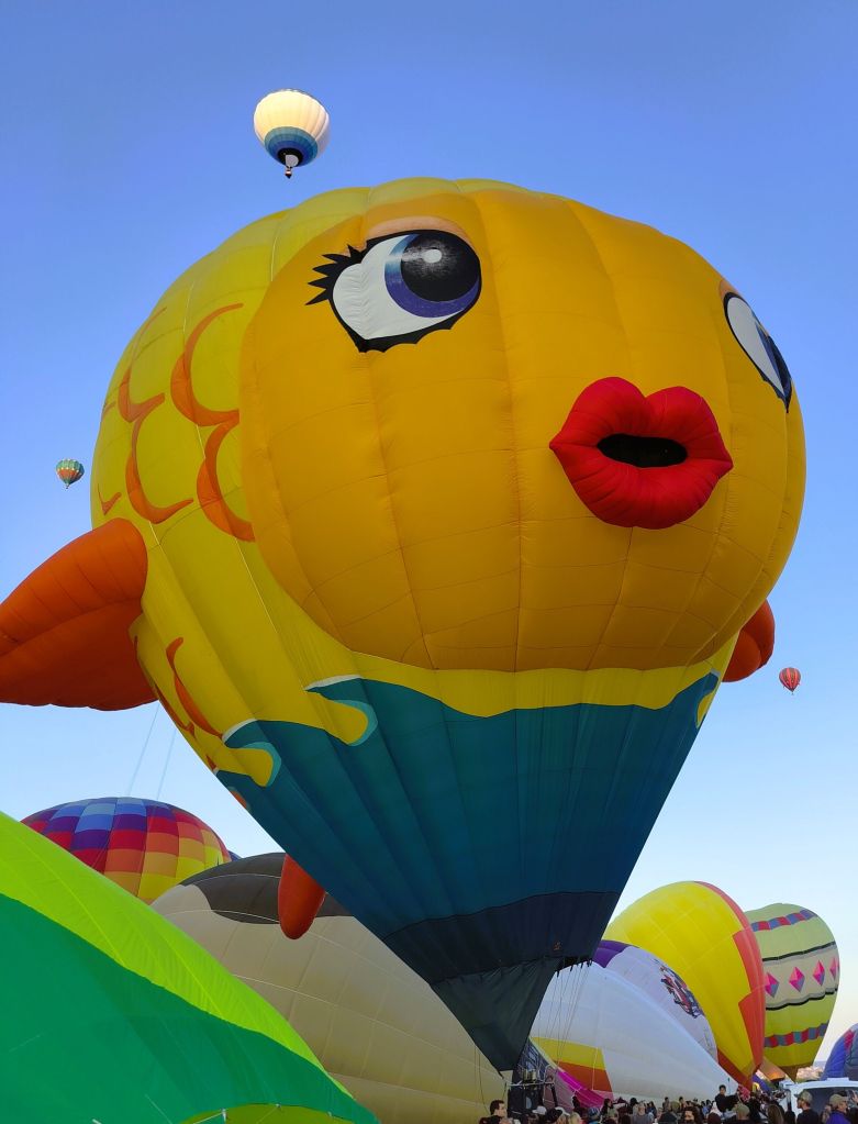
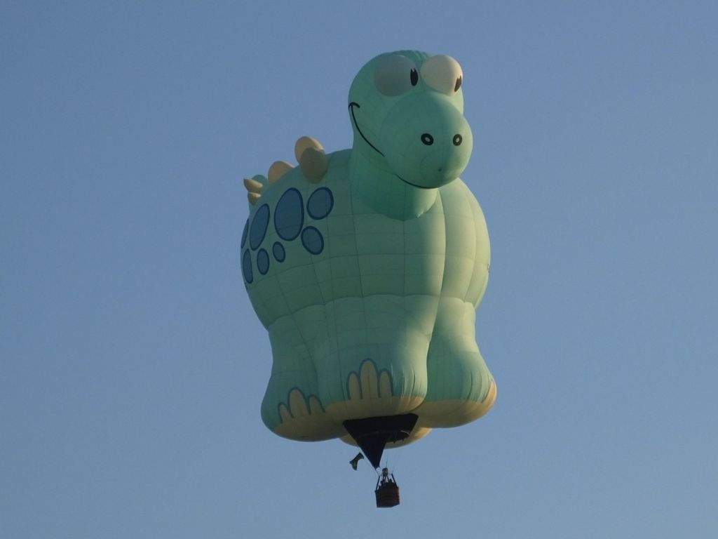
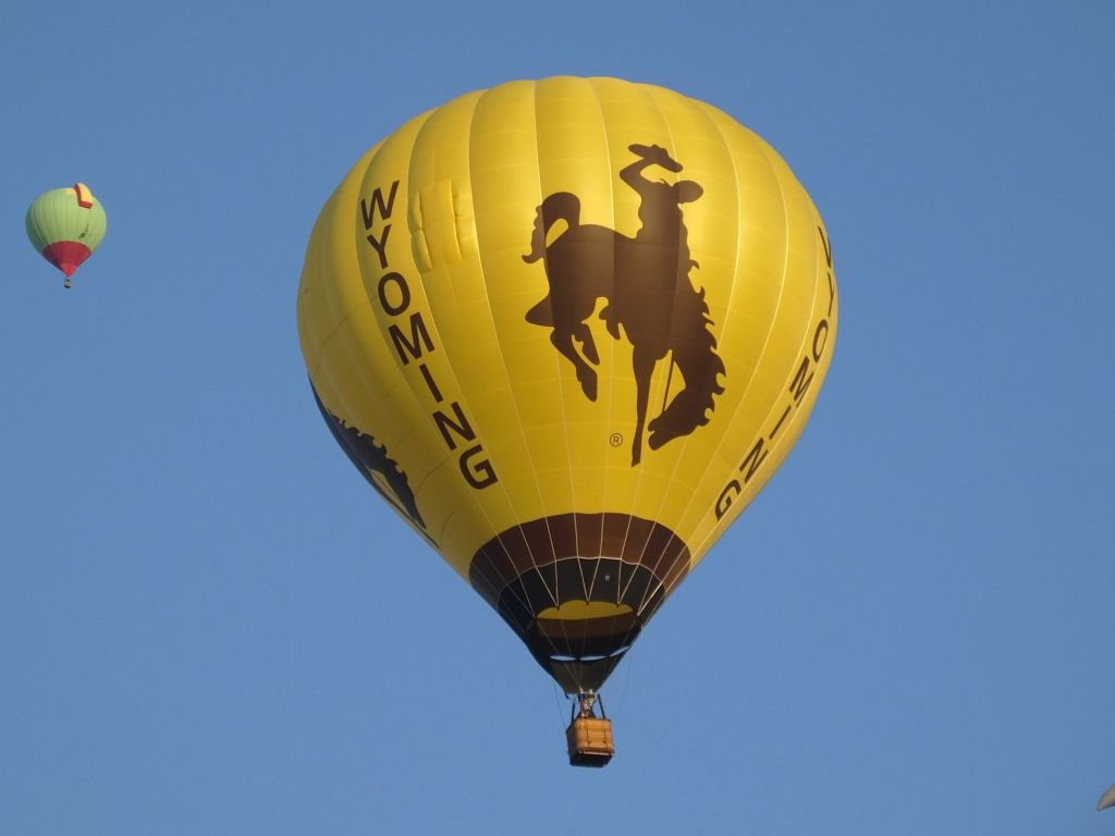
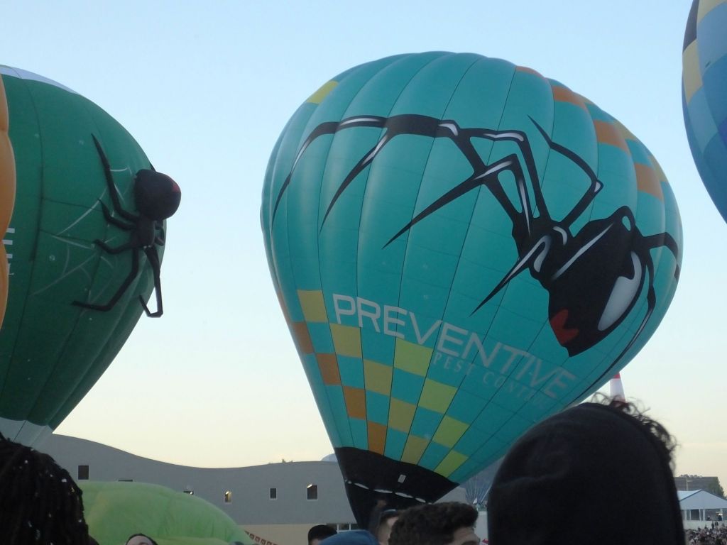
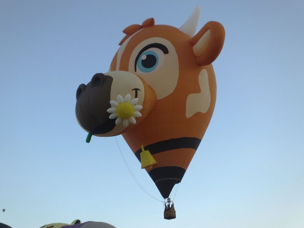
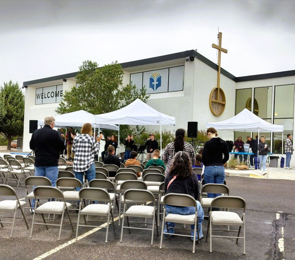
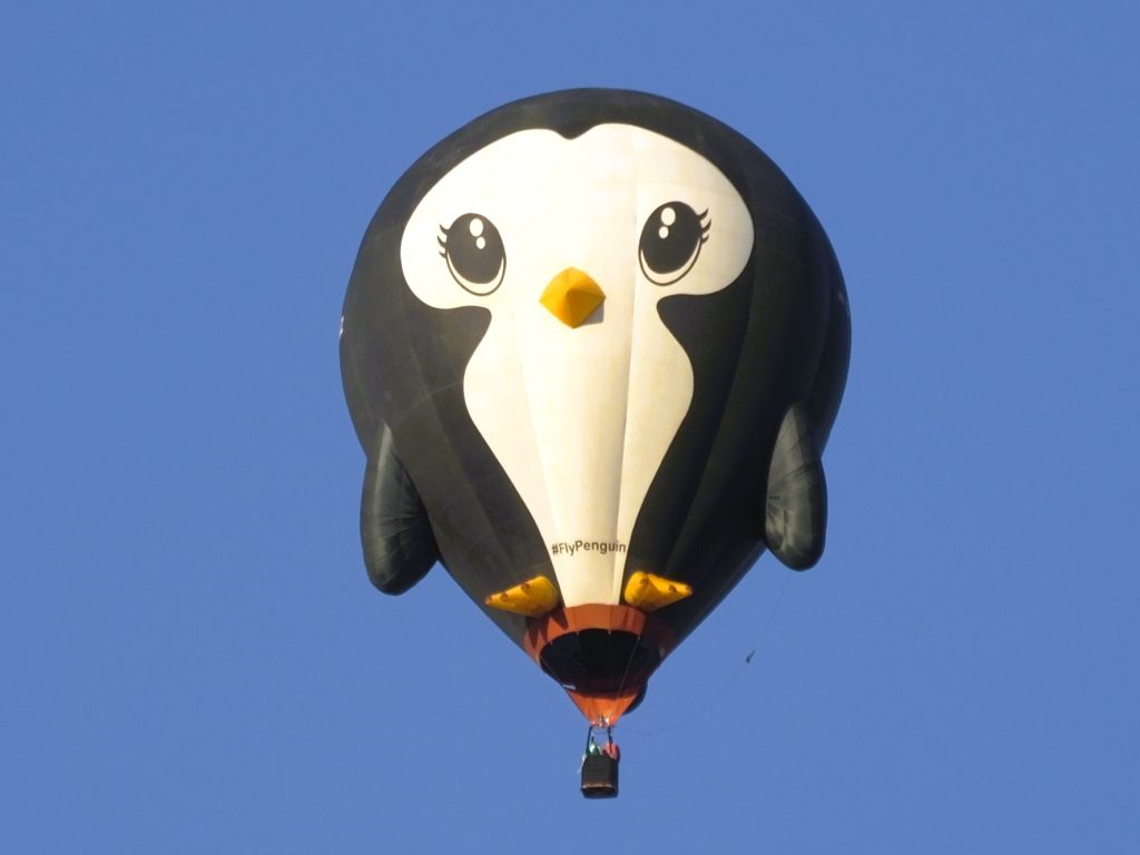
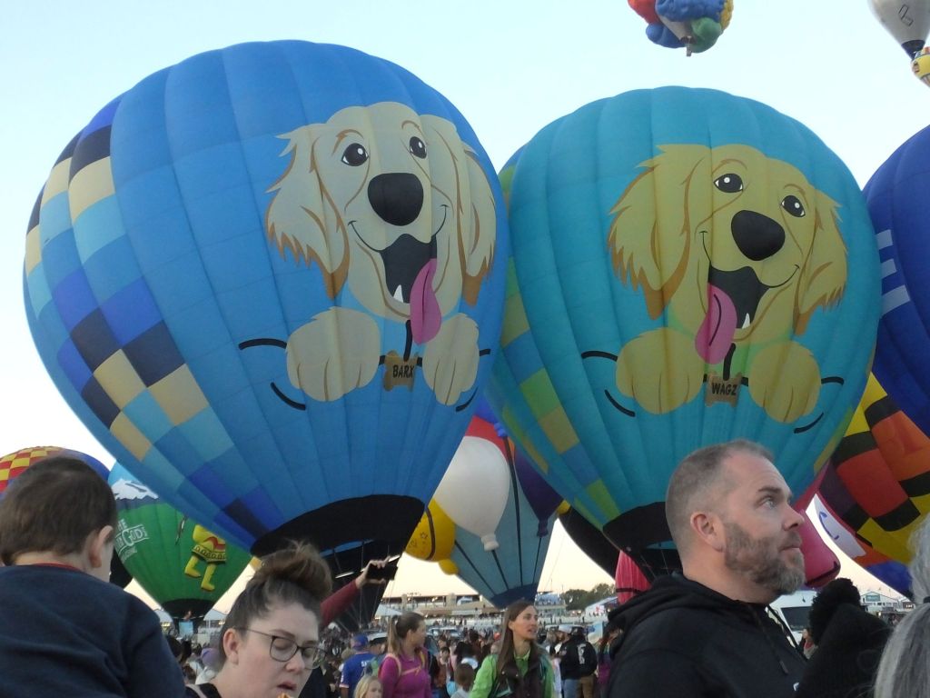
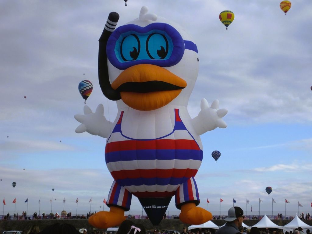
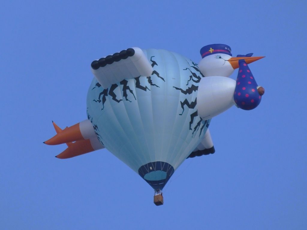
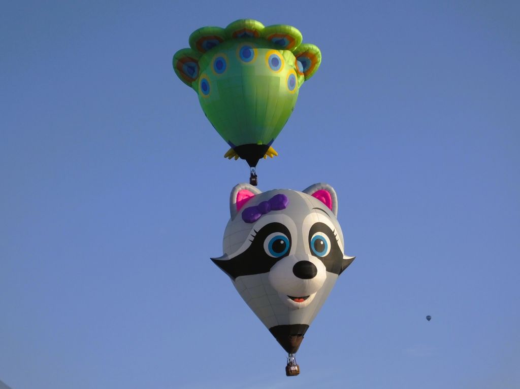
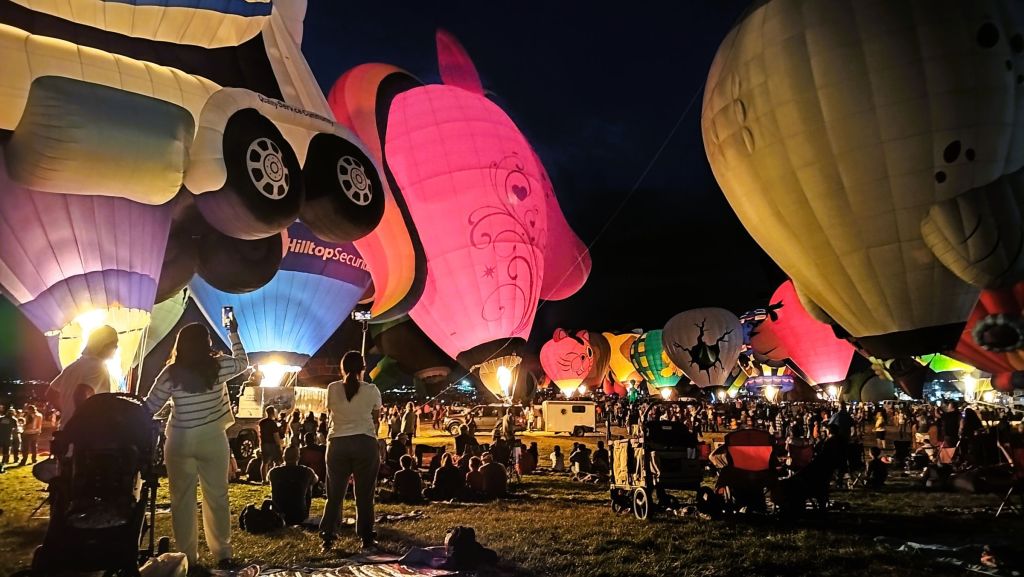
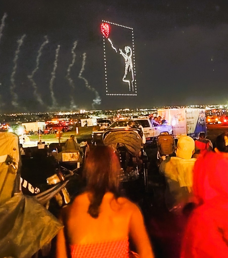
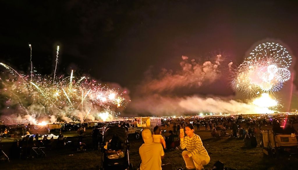
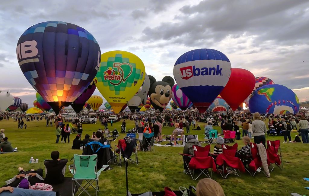
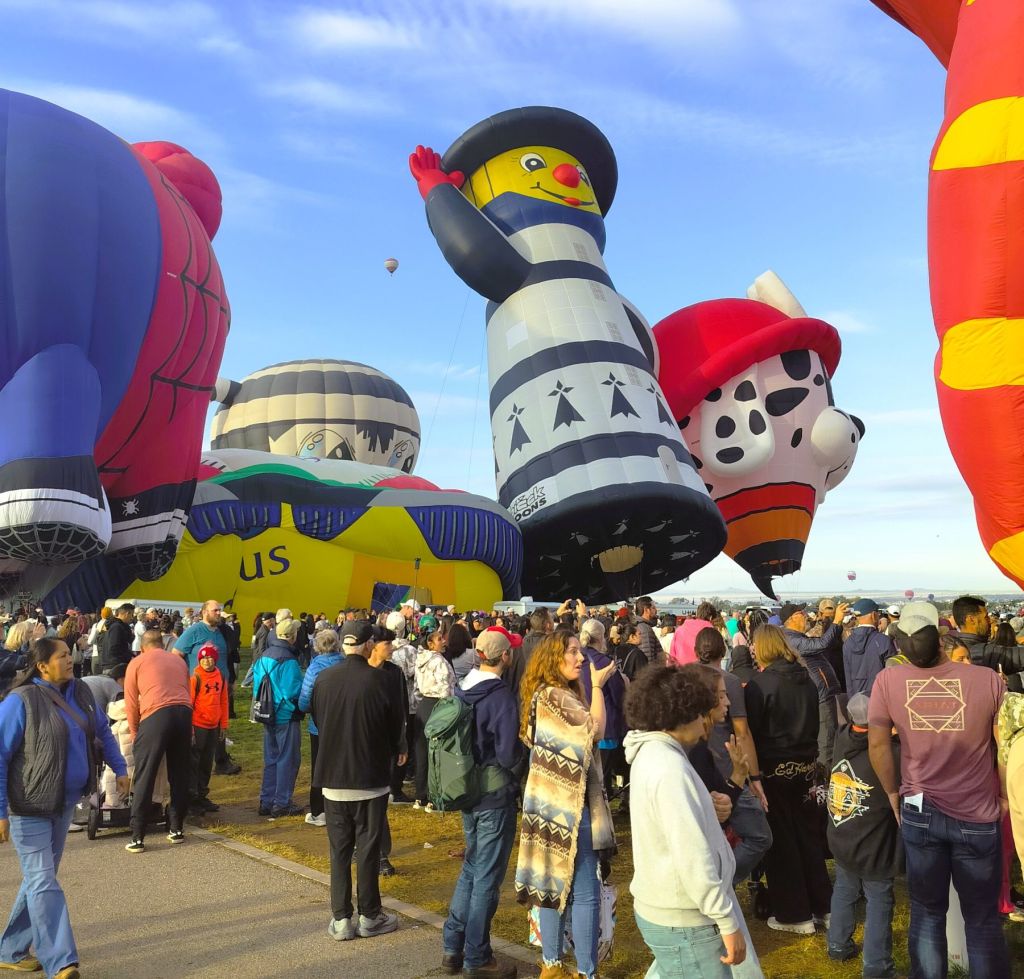
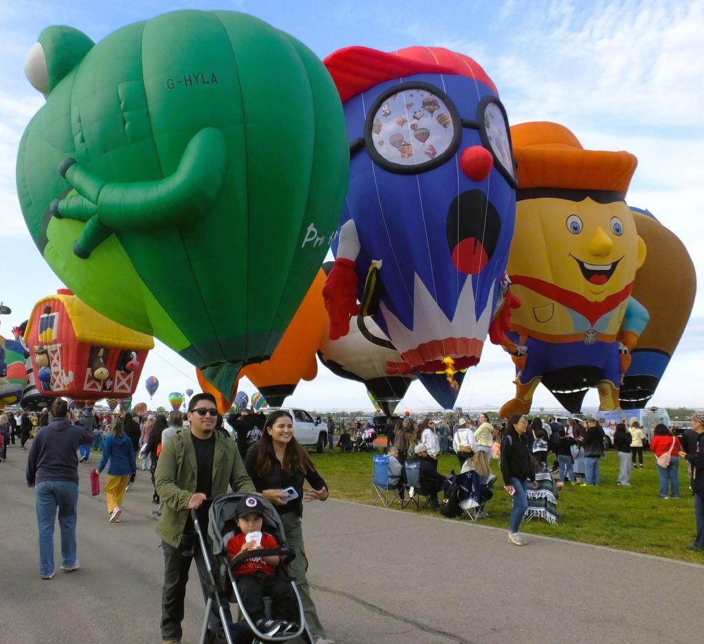
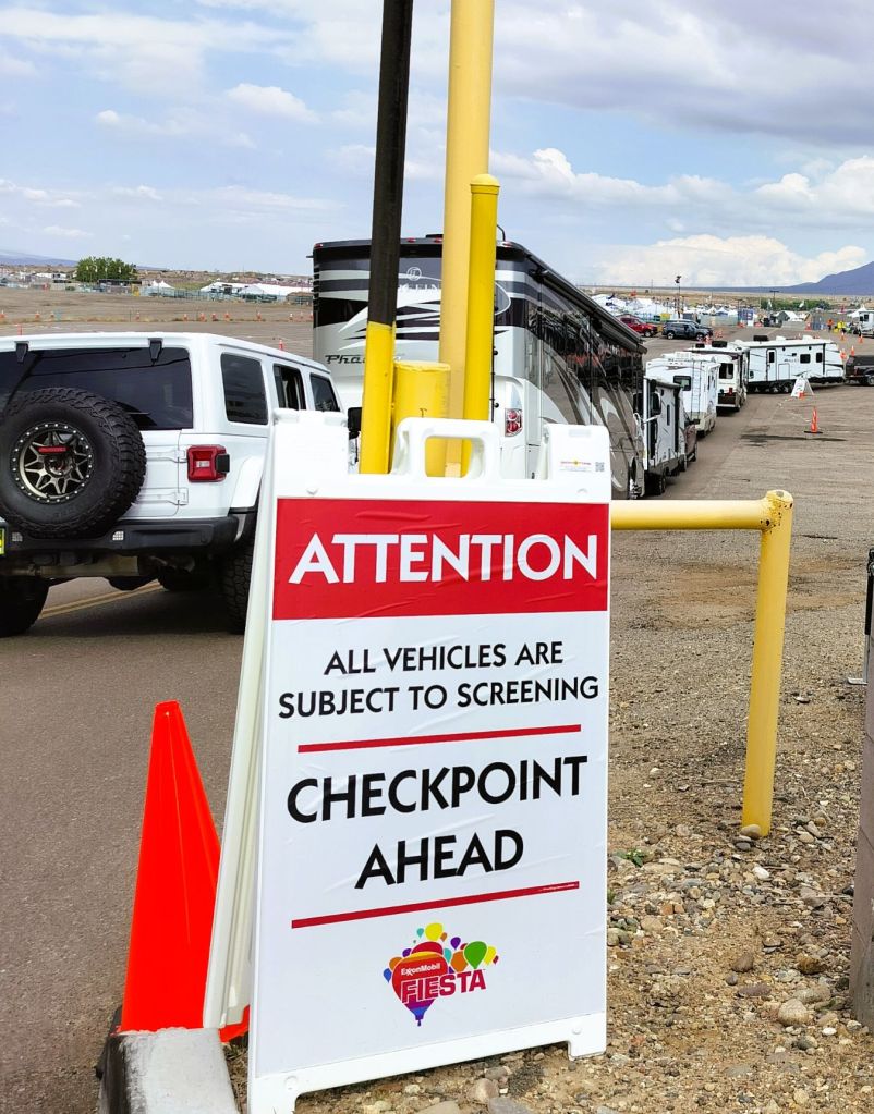
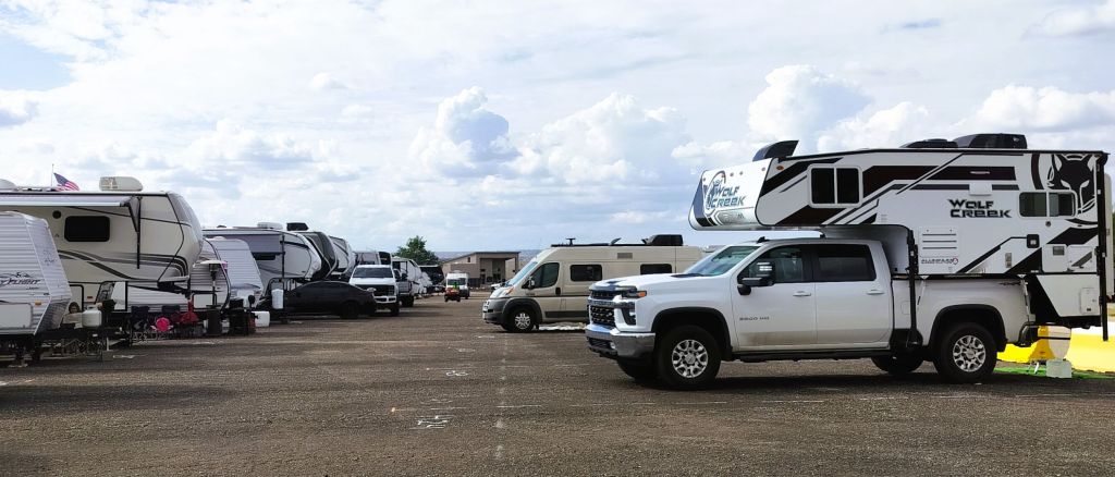
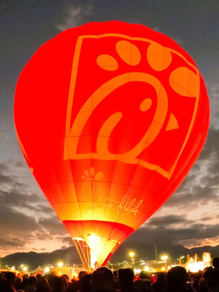
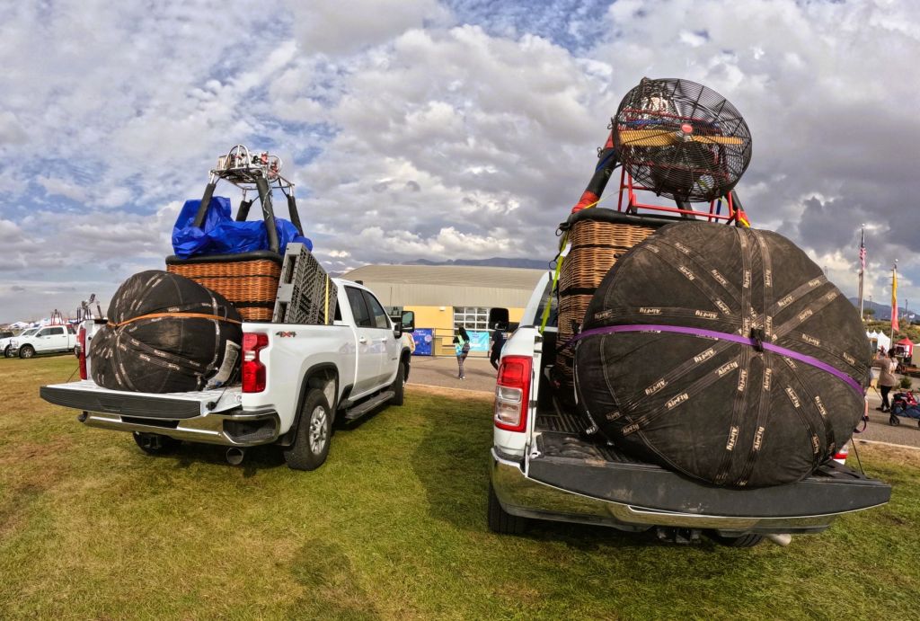
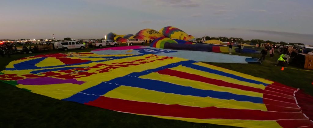
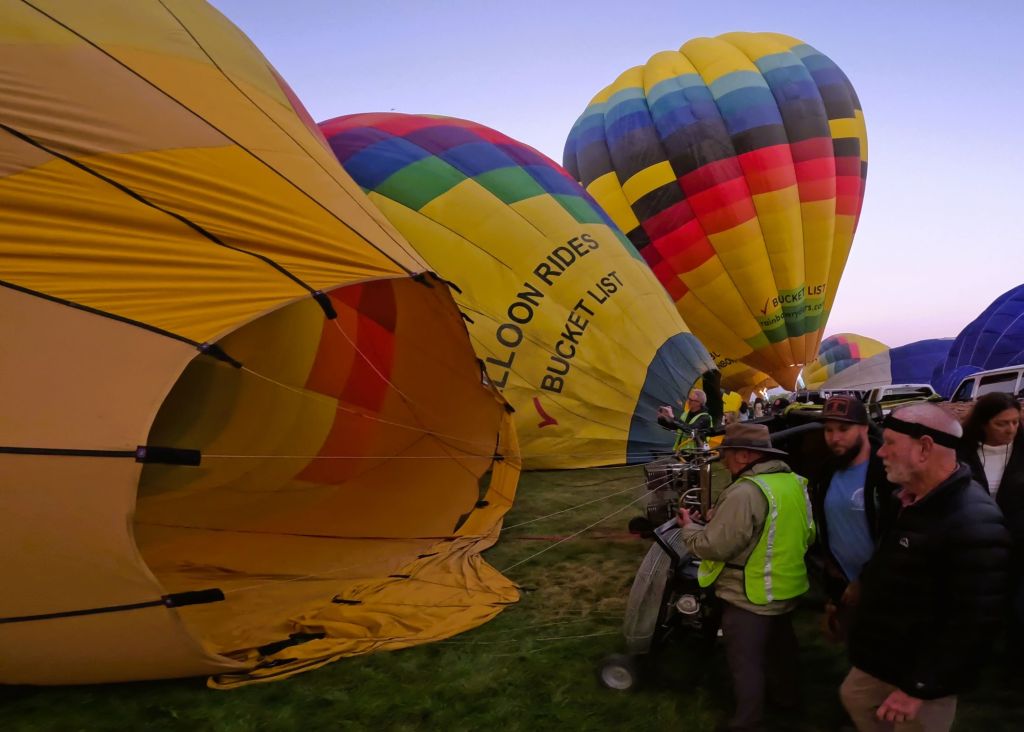
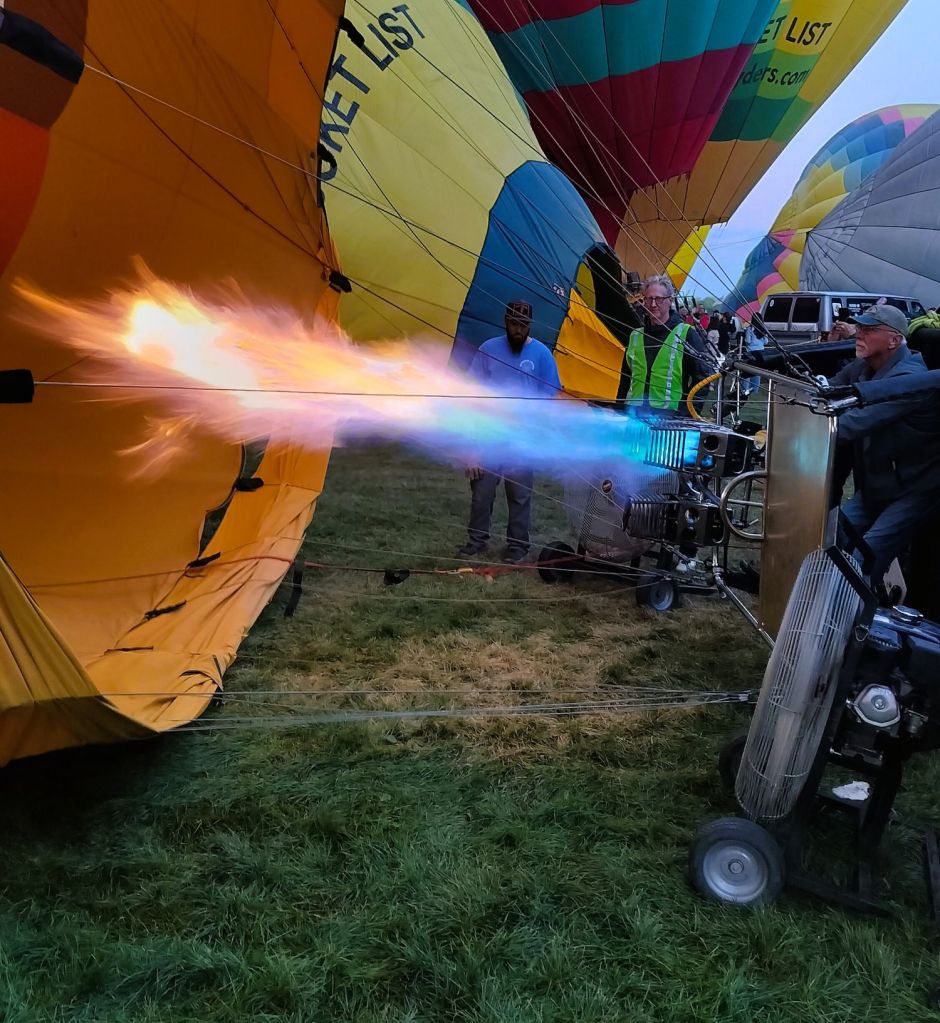
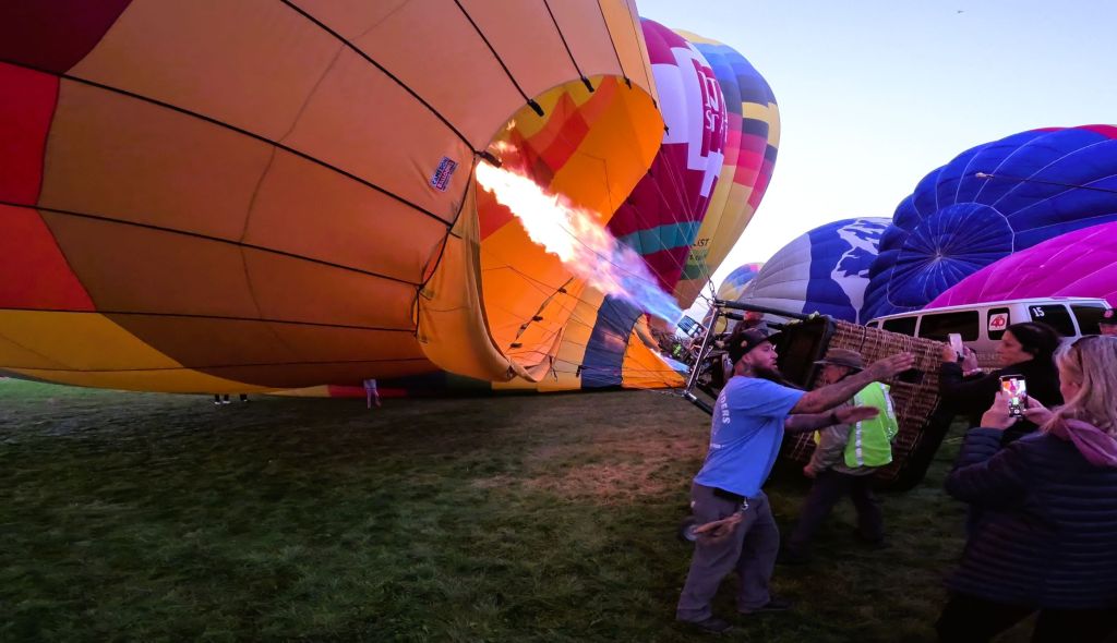
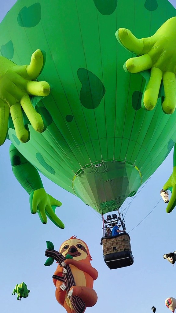
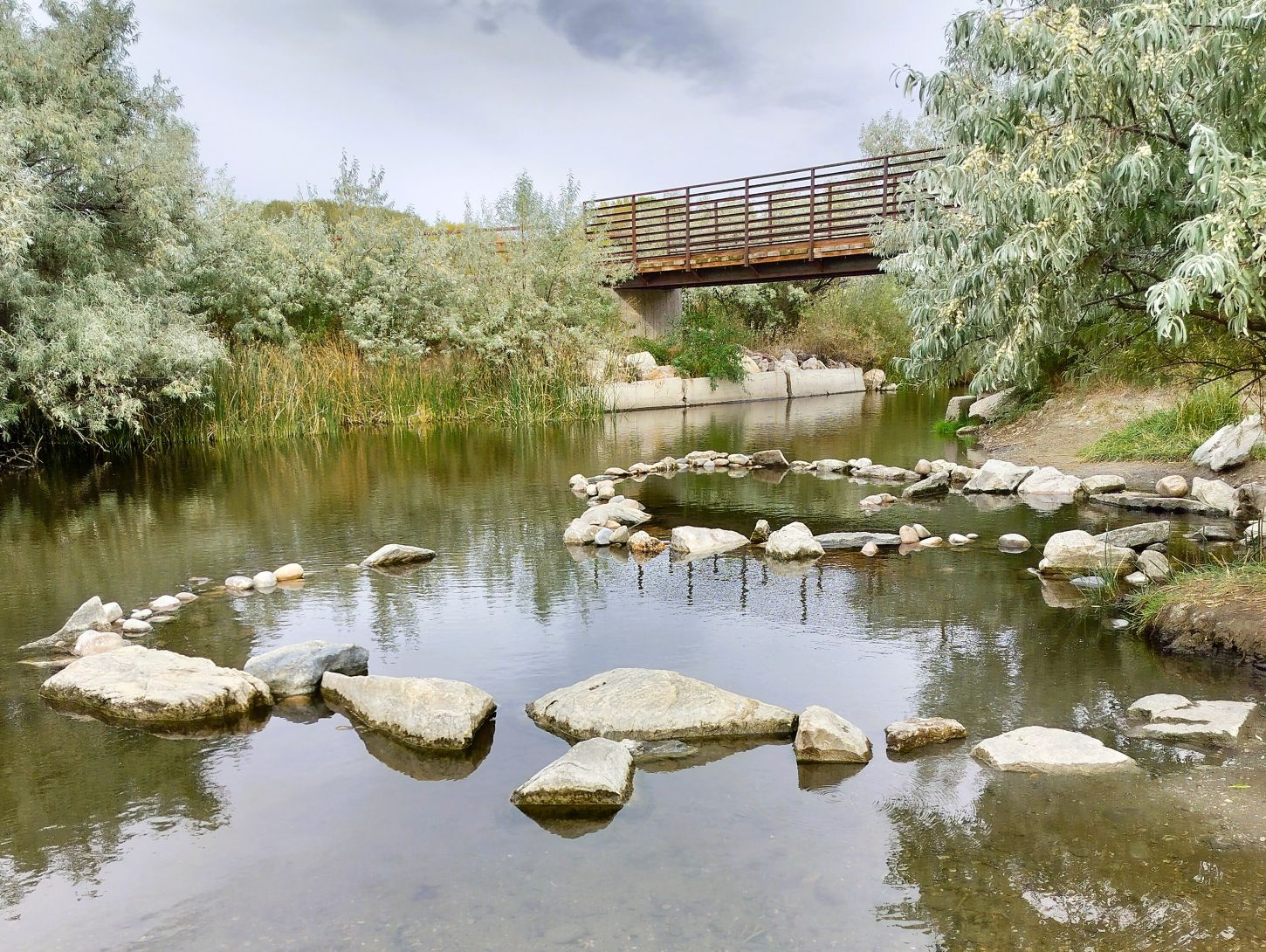
We spent three nights in the Albuquerque area during the Balloon Fiesta (2025 Balloons and Beyond Ep 6, Ep 7, Ep 8). Despite several balloon launches and glows cancelled due to rain, Friday was a perfect day with a spectacular morning ascension and wonderful evening glow-flicker, drone show and fireworks. It was the highlight of our trip!
And Beyond!
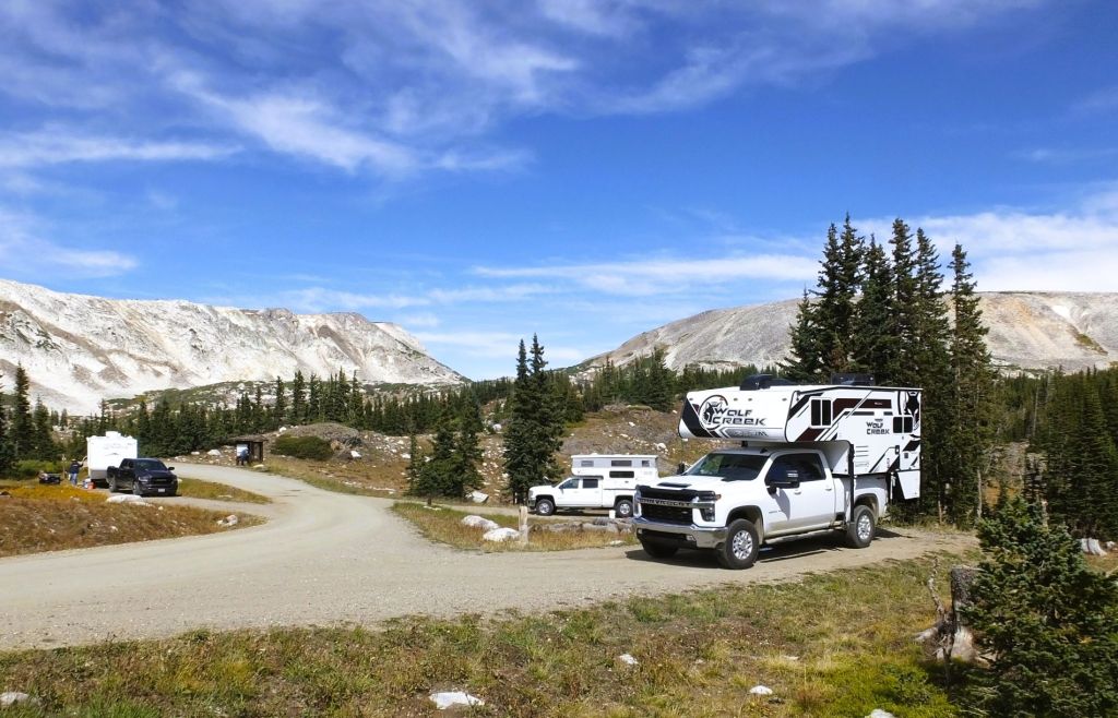
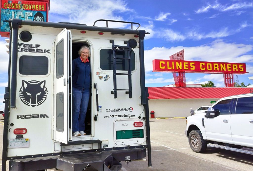
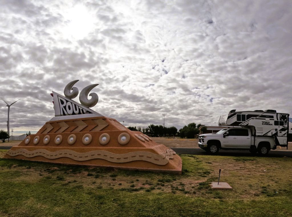
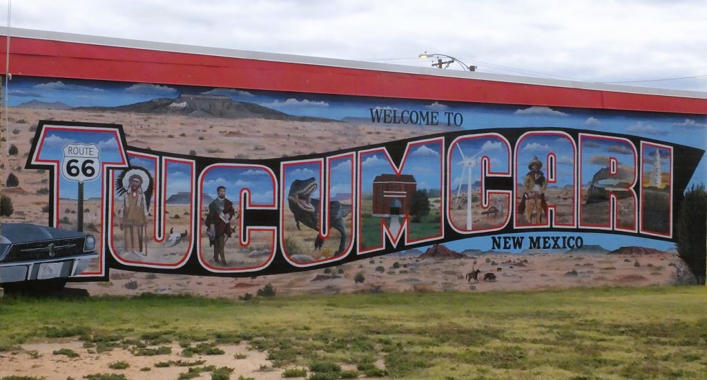
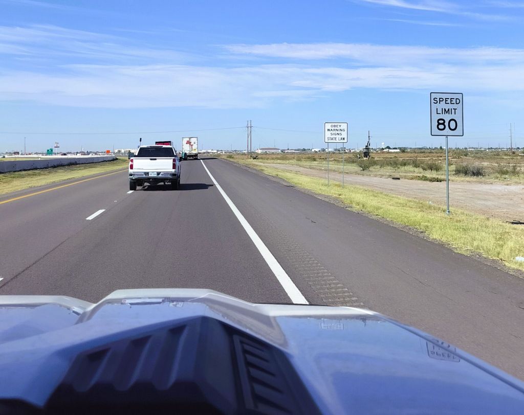
We left Albuquerque headed east on I-40 and spent the night in Tucumcari, NM.
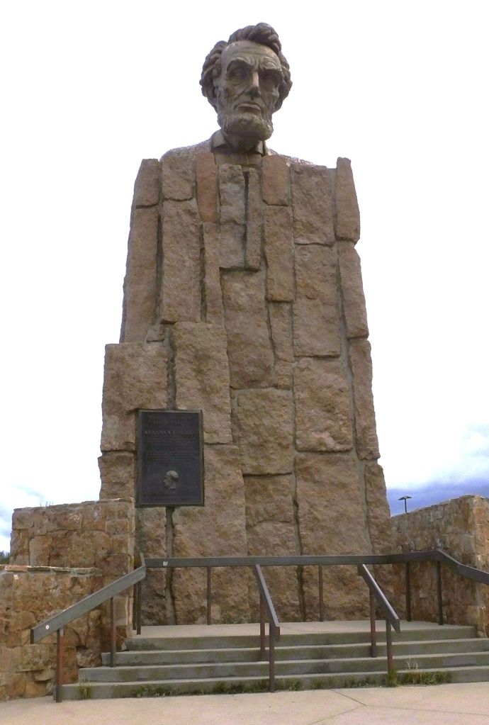
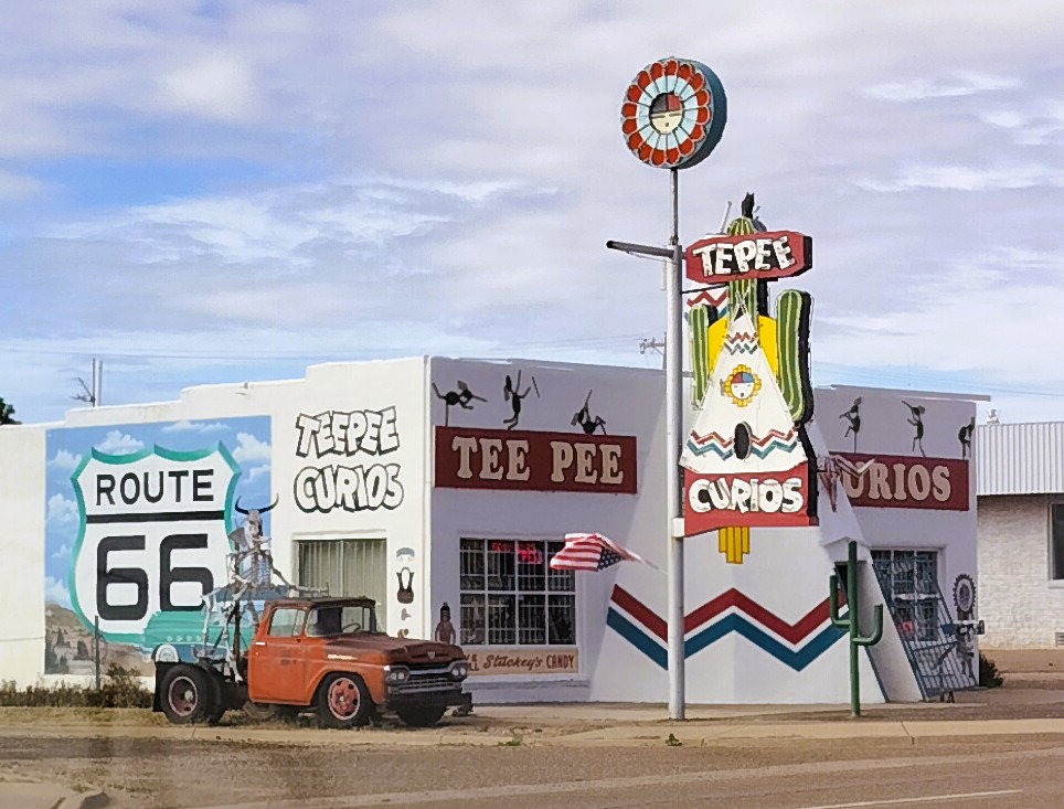
Tucumcari was once a major stop for travelers on Route 66, America’s Mother Road. On the edge of town there’s a whimsical Route 66 monument with a sloped sandstone base inscribed with tires and serpentine two-lane highway. It is topped with stylized sixes atop a 1950s tail fin and lights.
There are lots of small motels with names like Palomino Motel, Roadrunner Lodge, Relax Inn, Motel Safari, Pow Wow Inn and Buckaroo Motel that are closed or repurposed. A few remain open to offer lodging to nostalgic travelers.
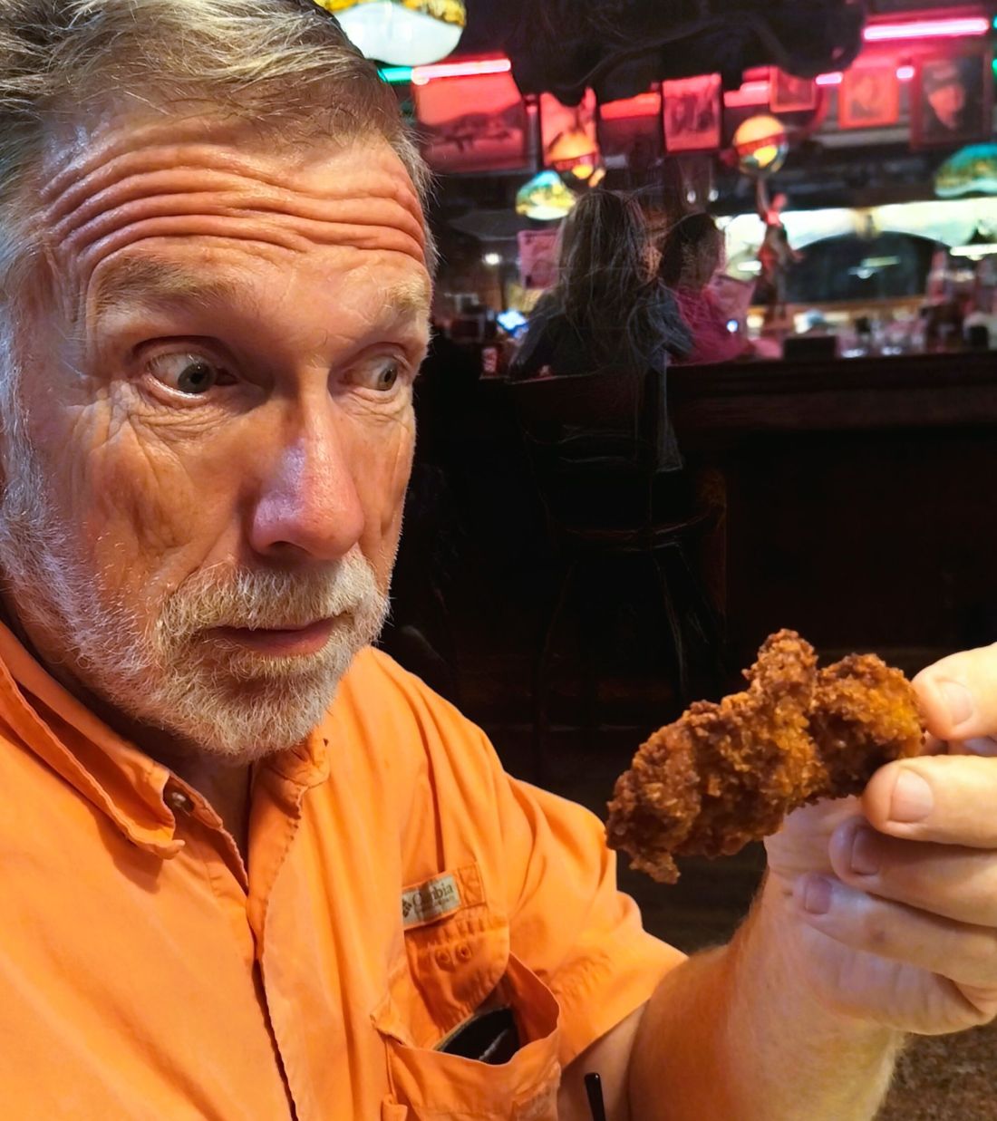
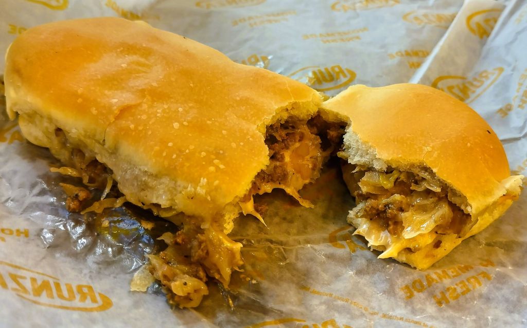
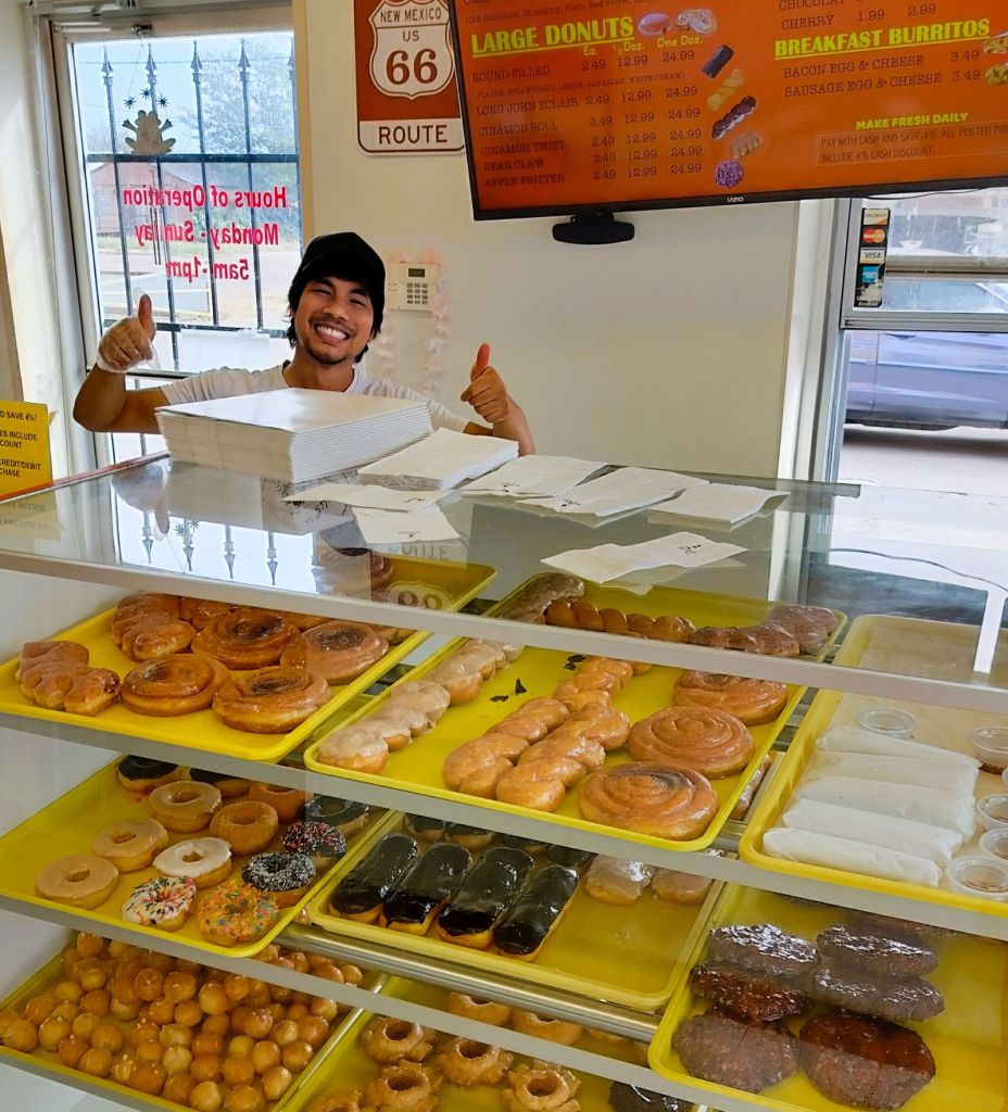
Cambodian Donut Cartel?
At Tucumcari Donuts we learned an interesting piece of the American story.
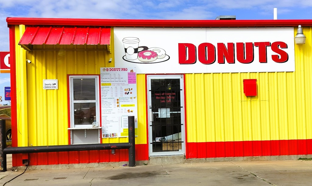
A young Asian man served us donuts and coffee and told us his family was from Cambodia. At similar donut shops in Missouri, Colorado and east Texas we learned the employees were also of Cambodian descent.
Cambodian-owned donut shops are a huge part of the American donut scene, many stemming from refugees finding opportunity in America in the 1980s. The shops were pioneered by Cambodian Ted Ngoy (the Doughnut King), who helped fellow refugees start their own businesses.
Not Up to the Challenge
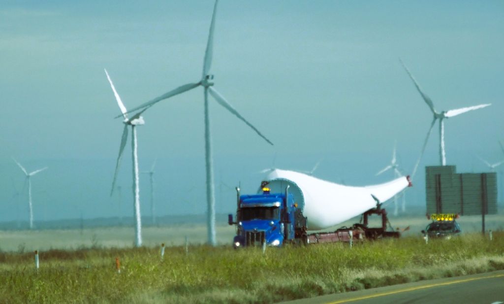
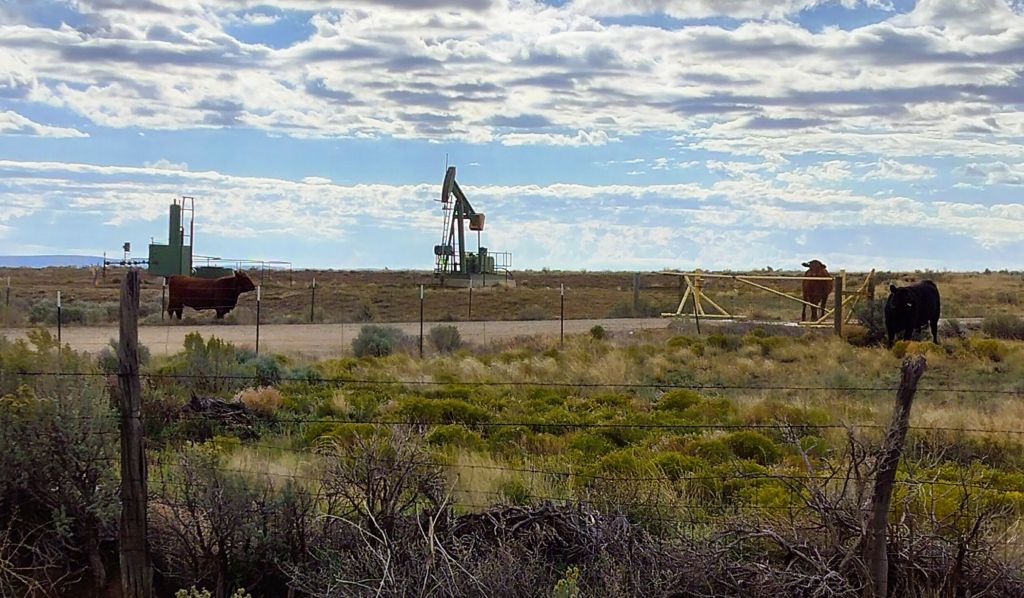
We continued east to the Texas panhandle. The flat terrain was punctuated with THOUSANDS of Texas-sized spinning windmills.
Like the omnipresent Buc-ee’s signs on interstate highways elsewhere, there were frequent signs encouraging a stop at The Big Texan Steak Ranch in Amarillo. The steakhouse is home of the world famous 72-ounce steak challenge: eat a 4½ pound steak and fixings in less than an hour and it’s free. Otherwise, the belly-busting meal will set you back $72!
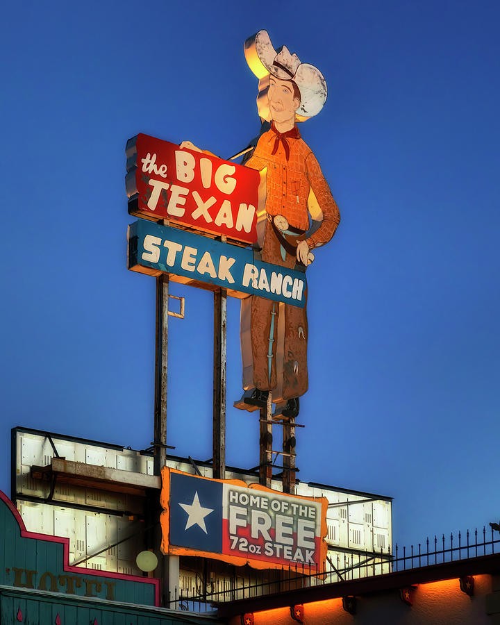
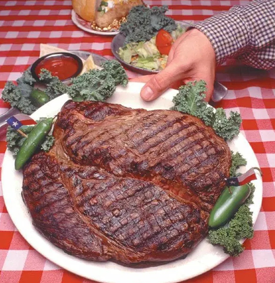
We weren’t up to the challenge. Full of our mid-morning donut snack, we passed by and turned south toward the second largest canyon in the United States.
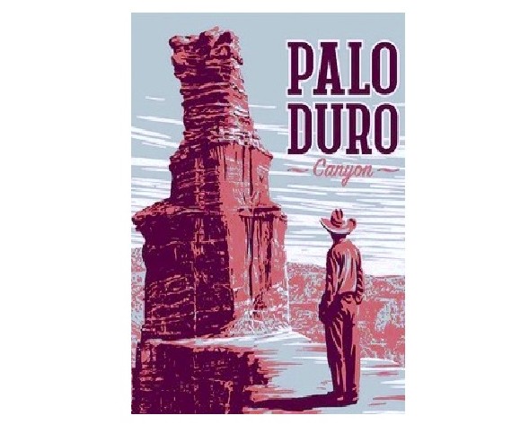
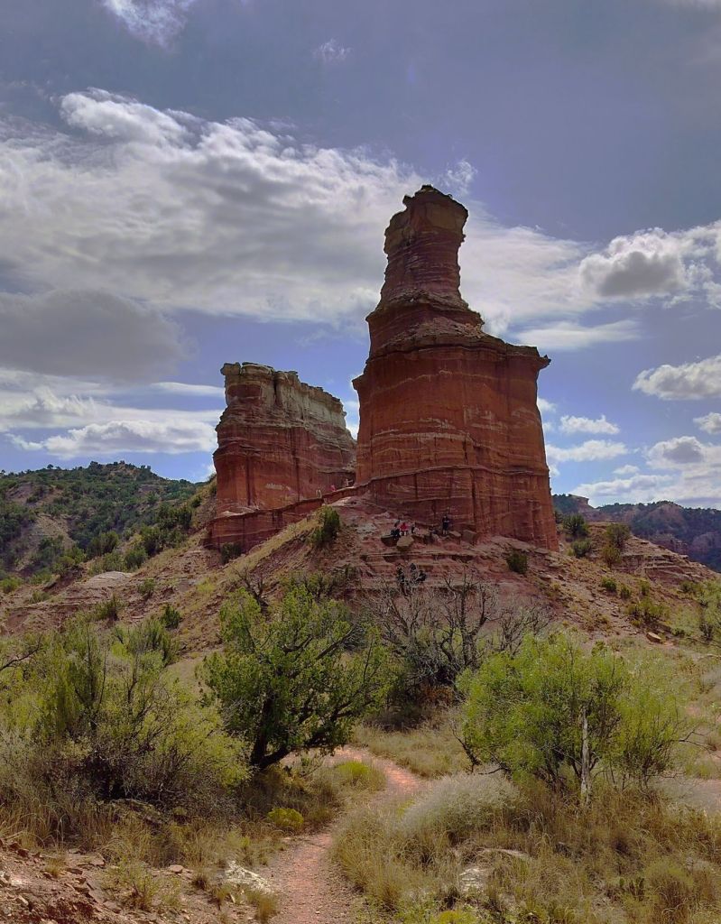
Palo Duro Canyon
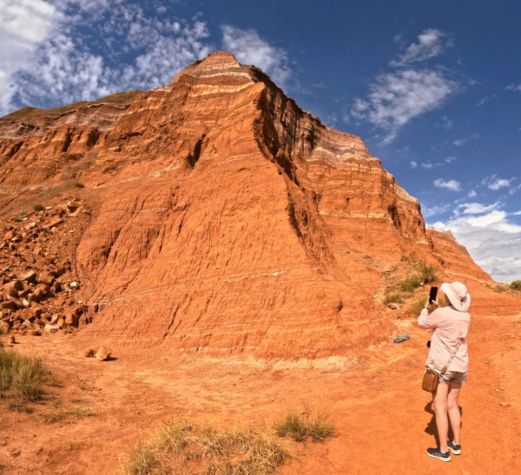
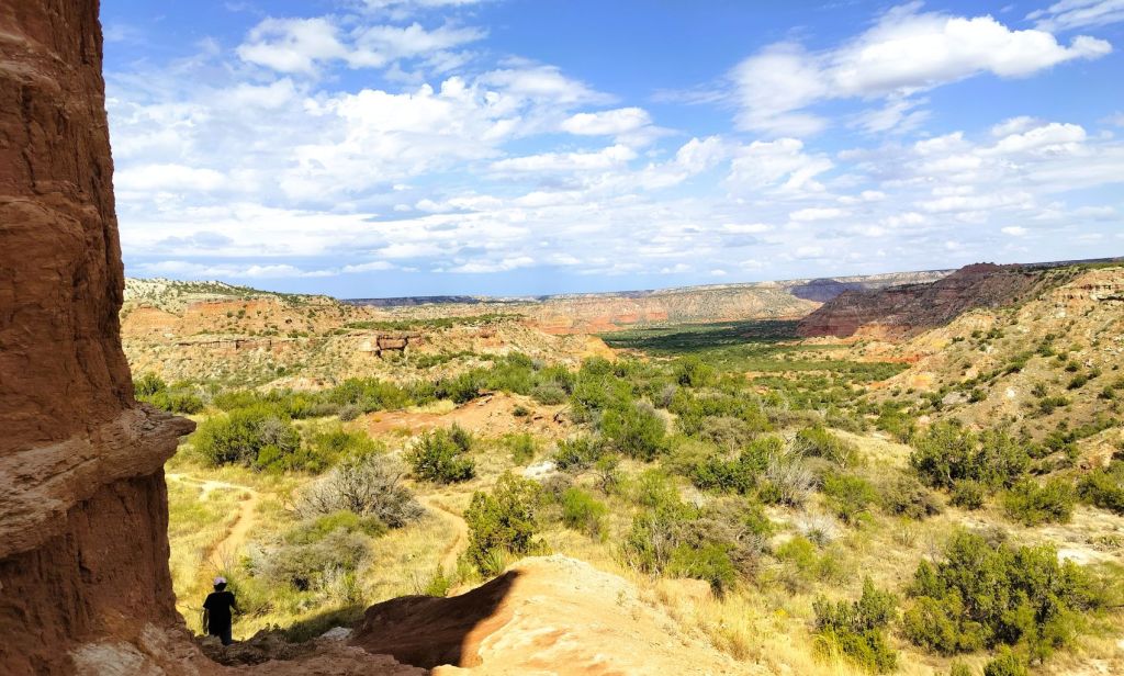
Nicknamed “The Grand Canyon of Texas” both for its size and dramatic multicolored rock layers and steep mesa walls, Palo Duro is about 40 miles long, six miles wide (20 miles wide at places) and 800 feet deep.
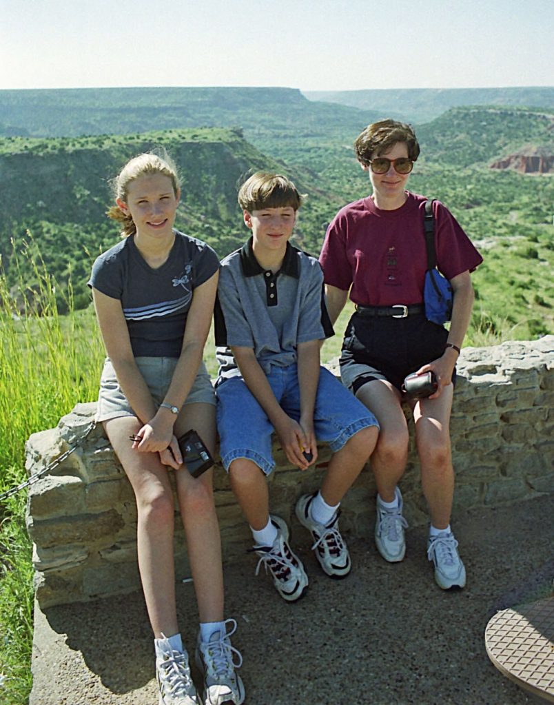
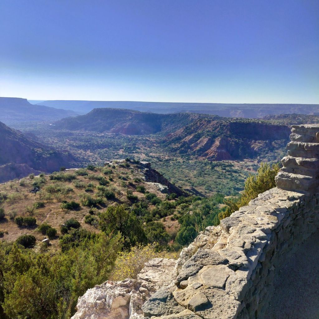
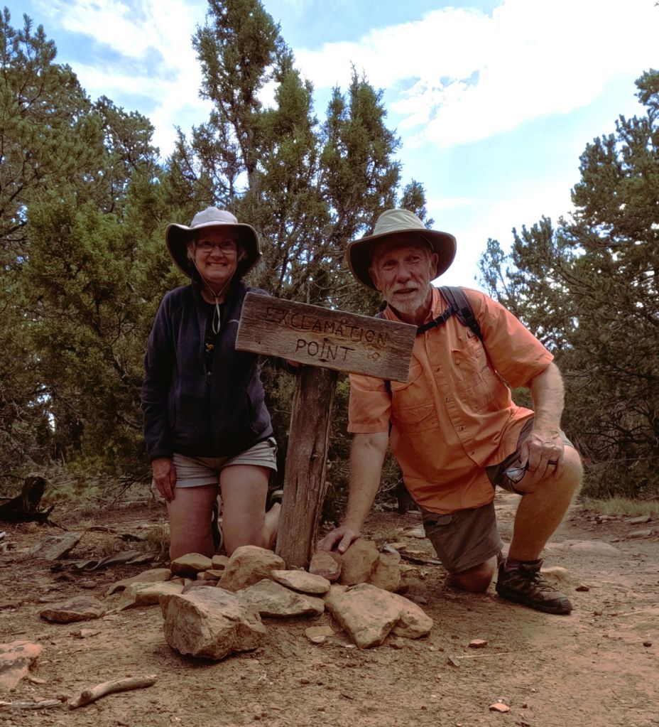
Much of the canyon is contained within a Texas state park. The visitor center at the canyon’s rim has sweeping canyon views and in 1999 I took the family photo above as we enjoyed our first view of the canyon. How time flies!
From the viewpoint, the road quickly descends to the bottom of the canyon. The layered and multicolored canyon framed the road as we drove to the campground where we would stay for the next two nights.
We were greeted by Bullet (his real name), a campground host originally from Amarillo. He was a rodeo cowboy in his teens and later owned an Amarillo copier service business. Now retired, he has been a fulltime volunteer at three different Texas state parks for more than a dozen years.
He helped us set up and provided useful details about the campground and things to do in the park.
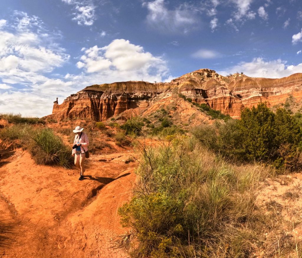
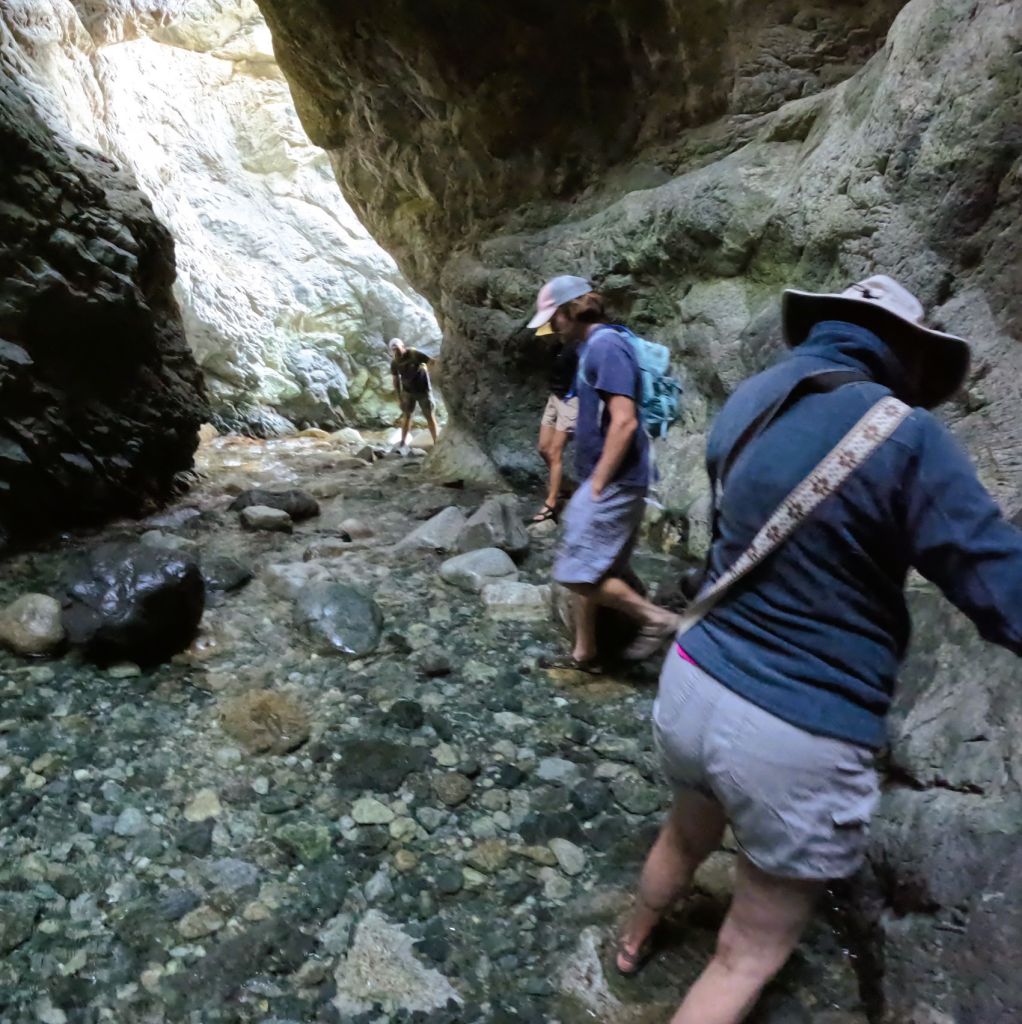
Six miles = Muscle Aches?
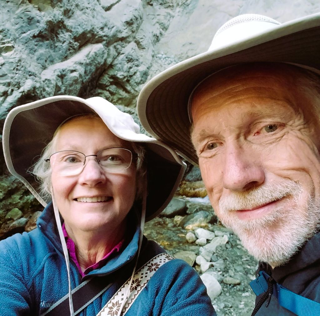
We decided to hike three miles to the iconic Lighthouse formation, prominently displayed in park promotional brochures. The mostly flat trail weaves through several canyons before the steep quarter-mile climb to the Lighthouse. After a precarious scramble to the base of the formation, we had great views of the broad canyon.
The hike was worth a few minor muscle aches!
Balloons and Beyond – Wrap-up
Palo Duro was our first Texas state park during our fall 2025 Balloons and Beyond travels. Next episode we wrap up the series with visits to five more Texas state parks as we cross the state on our way home.
Don’t forget to LIKE our blog posts and to SUBSCRIBE for future updates