Alaska Highway – Segment 6

(2018 Alaska Ep 31)

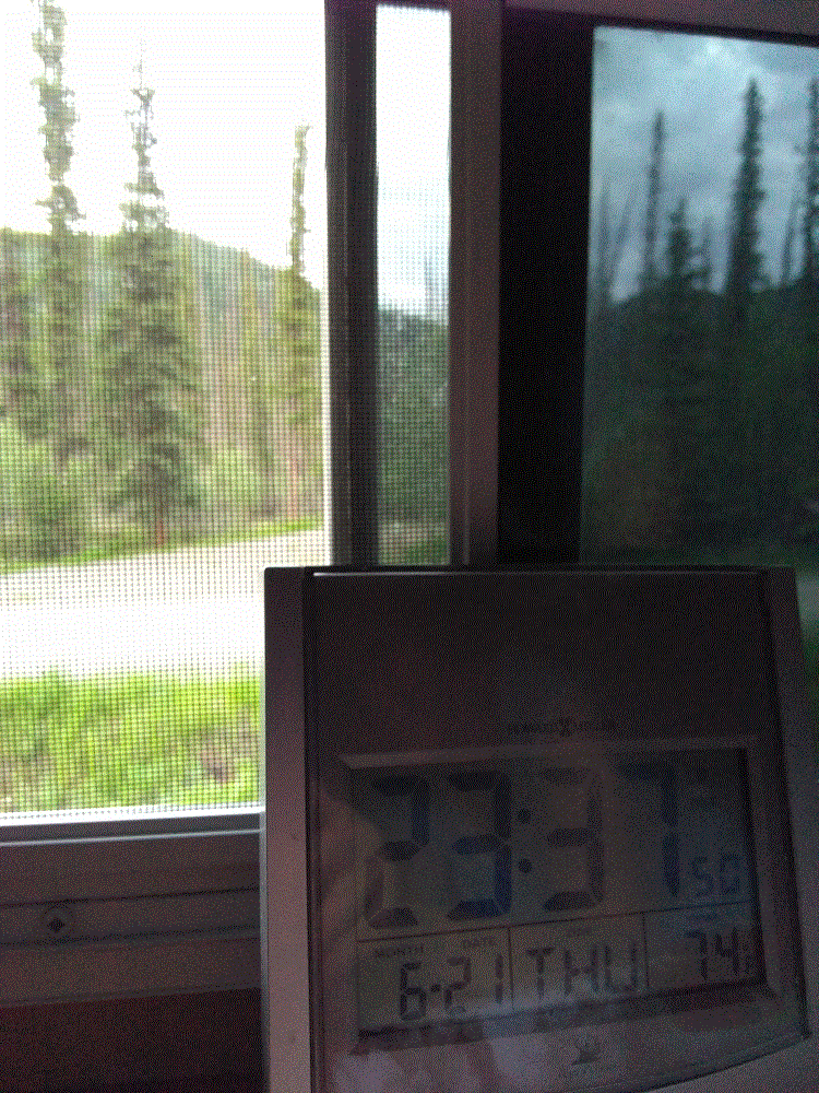
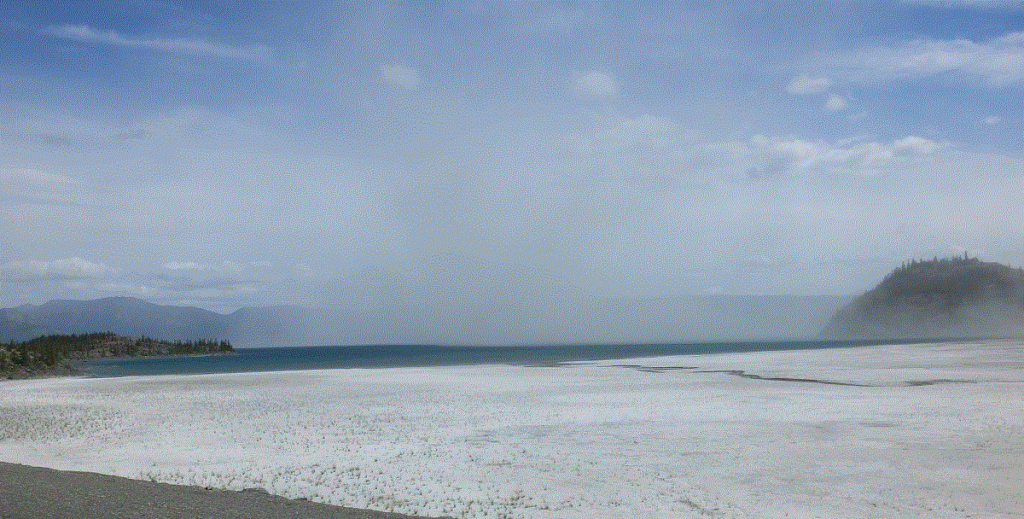
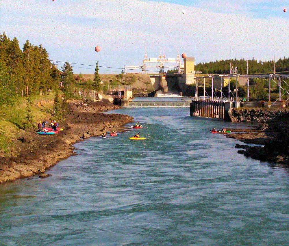
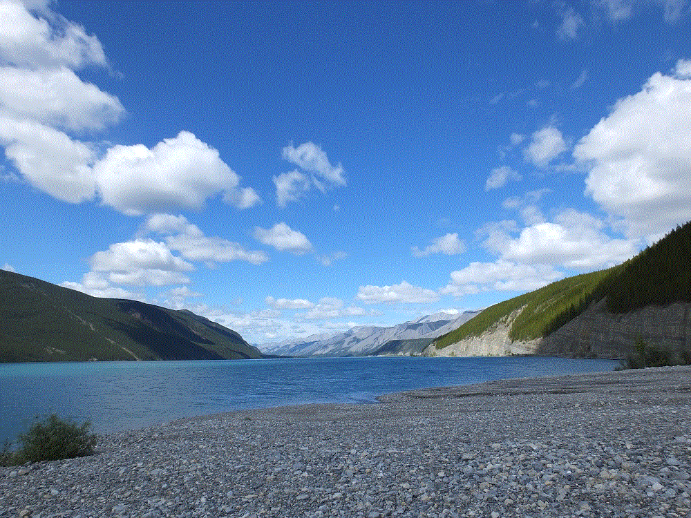
Our stay at Lake Creek Yukon Provincial Park (RabbiTRAILS Alaska Map, pt #34) was on June 21, the summer solstice.  This marked the first day of summer 2018 and the longest day of the year for the northern hemisphere.

There is no night! 

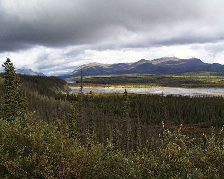
From sunrise to sunset the day was nearly 20 hours long.  It was light when we went to bed at around 10 pm and from the photo below, you can see it was still light at nearly midnight.  The birds announced sunrise before 4 am.  The darkest it got was like twilight after sunset.

2018 Alaska Trip 2009 - 1806212338

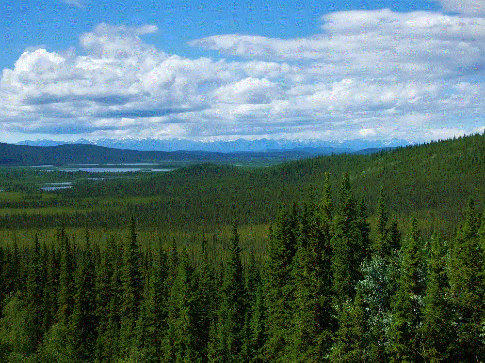
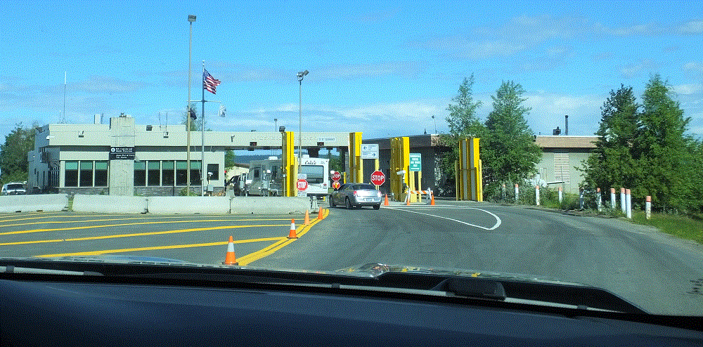
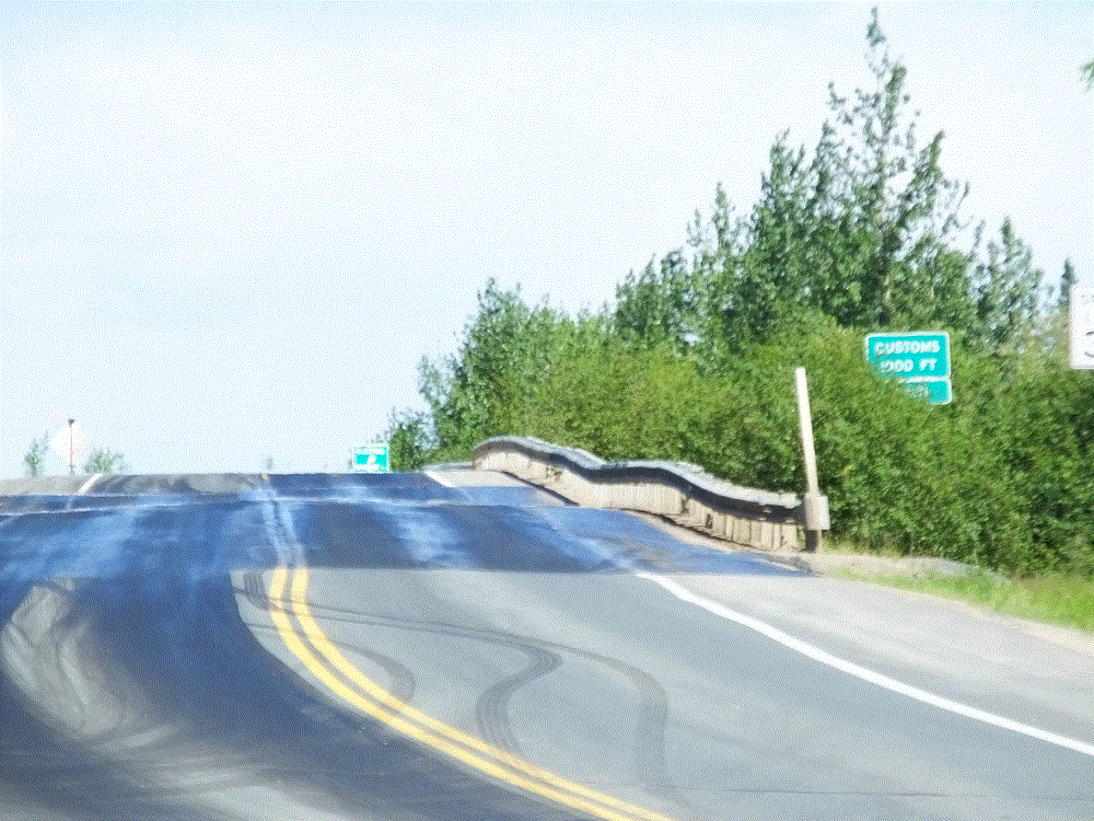
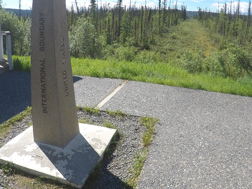
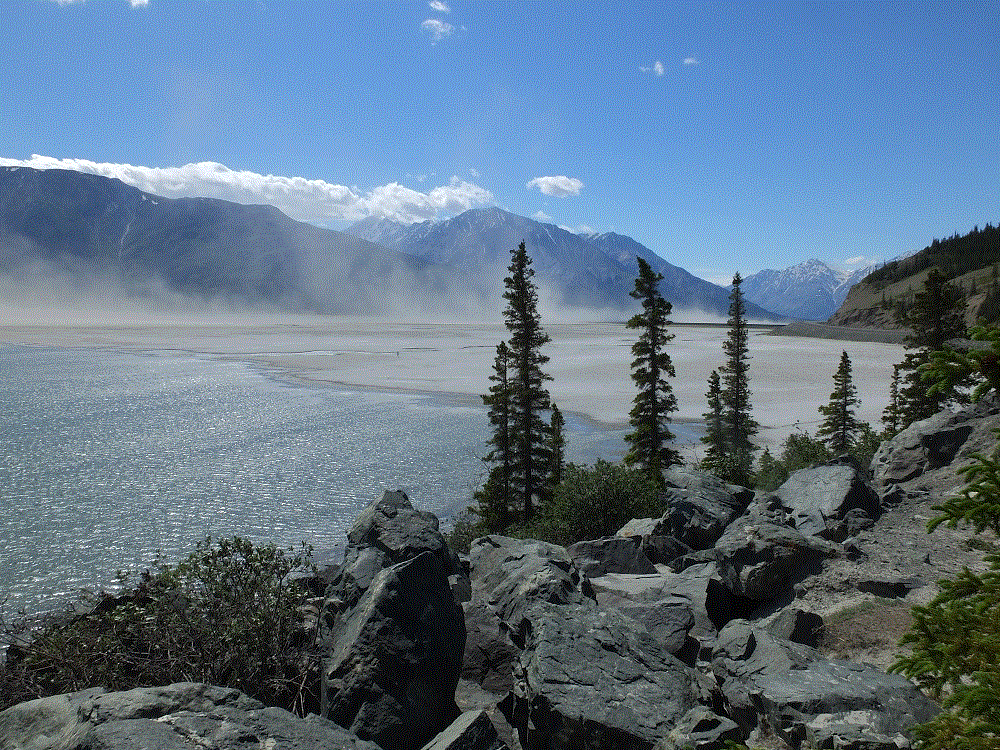
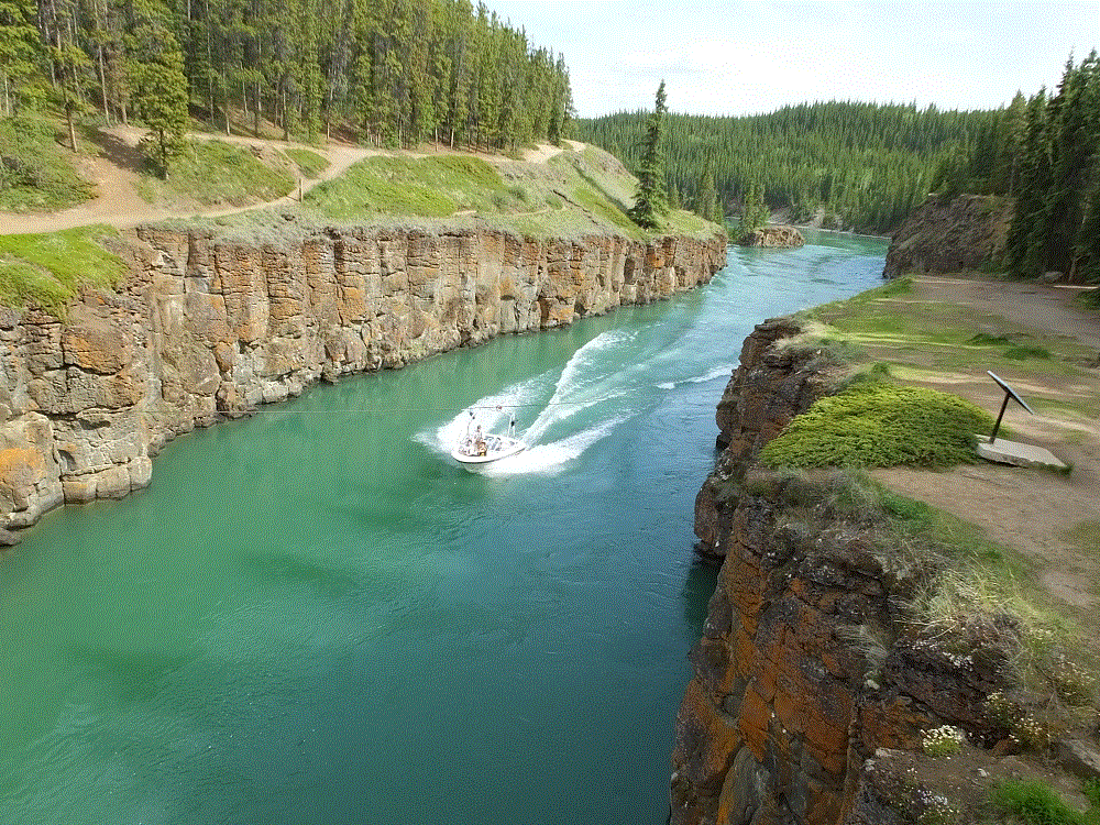
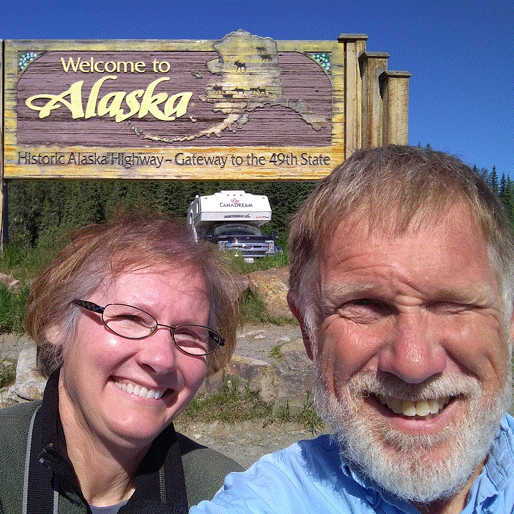
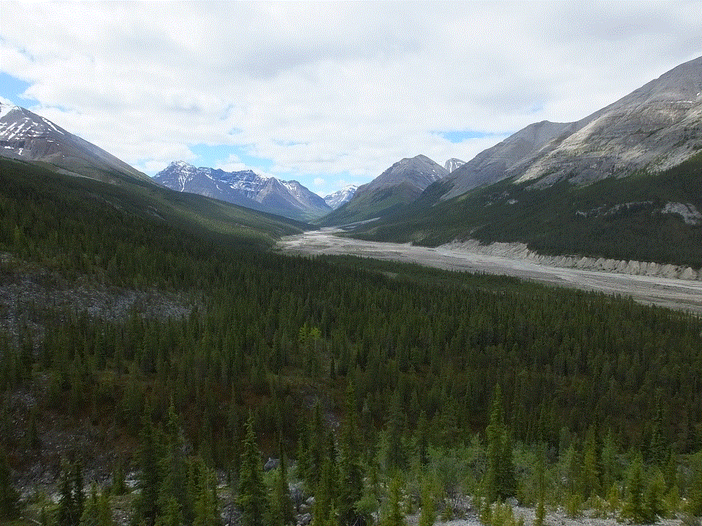
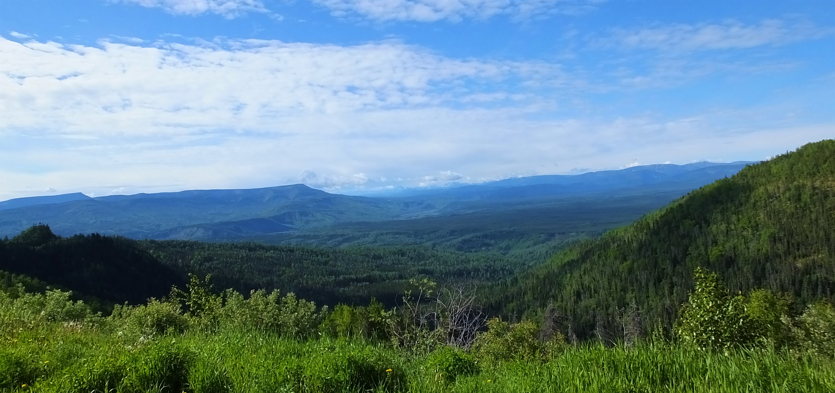
June 22 was our last day in Canada and first day in Alaska!   The mountains to the west were in the US – part of Wrangell-St Elias National Park, the largest US national park that is nearly four times the size of Yellowstone!

2018 Alaska Trip 2038 - 1806221335

Upon crossing the border, we where thankful to be home and for:

  • traveling mercies since we set out 69 days and nearly 9400 miles earlier.
  • good roads, good weather and positive experiences throughout our trip, particularly during three weeks in Canada.  (BTW, the roads on the US side of the border were actually bumpier than those in Canada).
  • our family and friends at home offering encouraging blog posts and praying for us, and for those keeping an eye on our home.
  • the blessings of God’s creation, the many beautiful places we visited and the foresight of others to preserve those places for future generations to enjoy
  • cell phone coverage.  Our Verizon phones did not work in Canada.

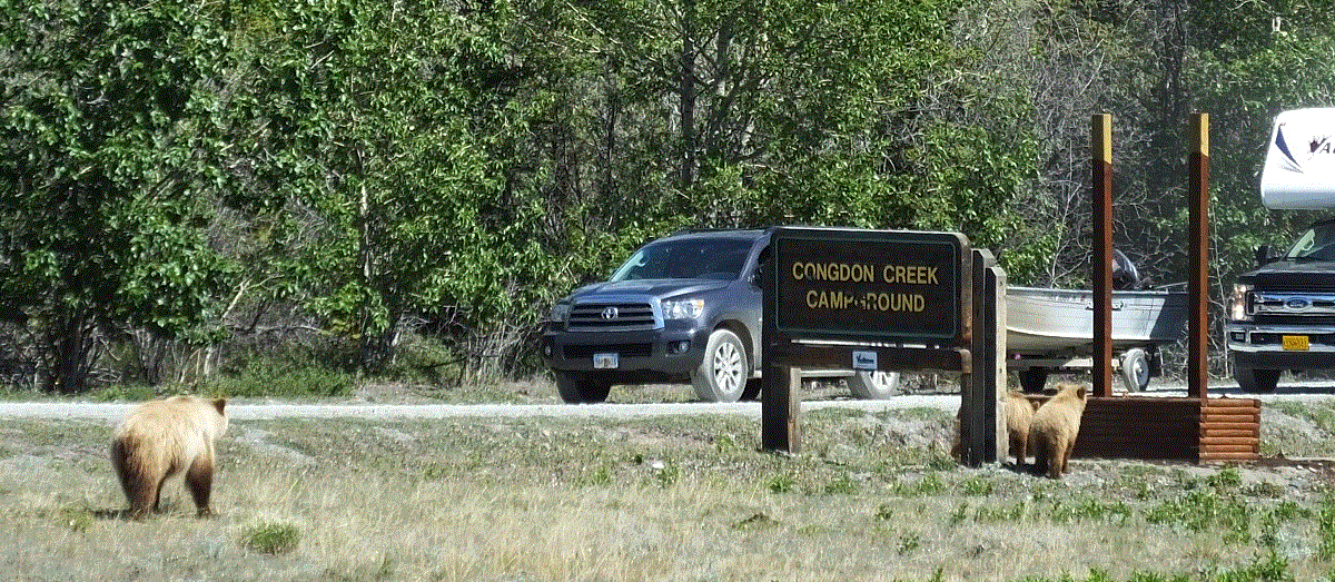
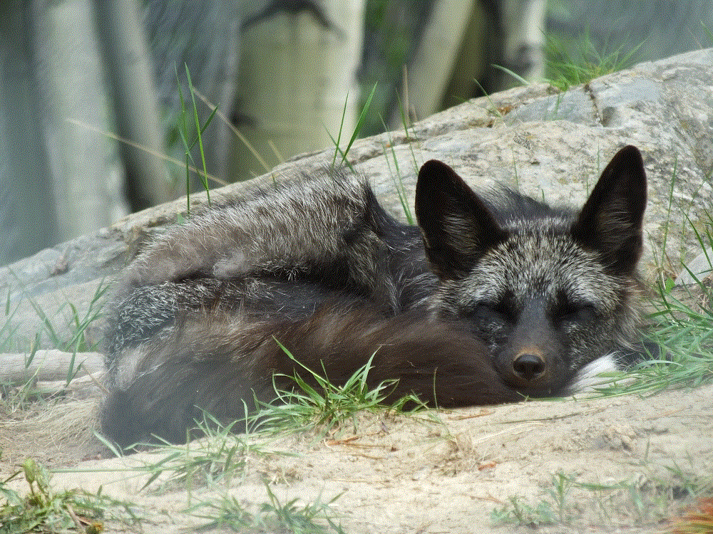
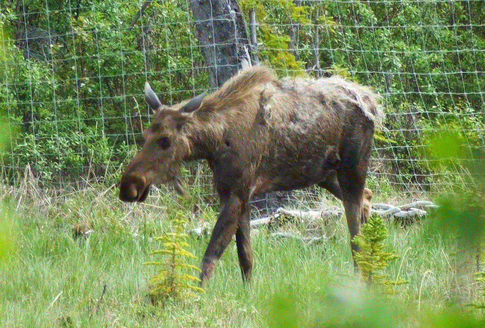
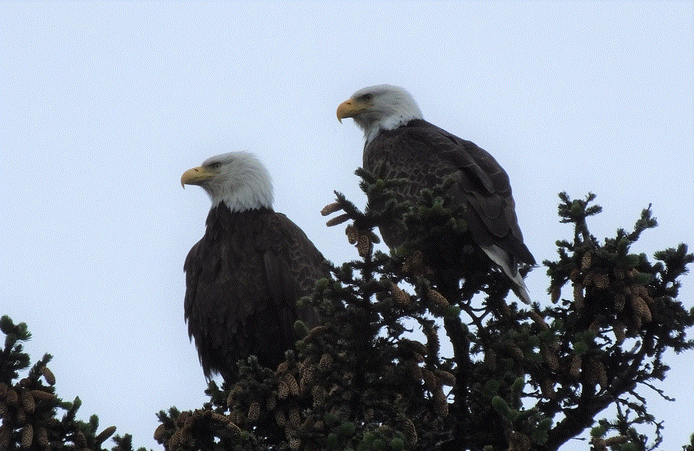
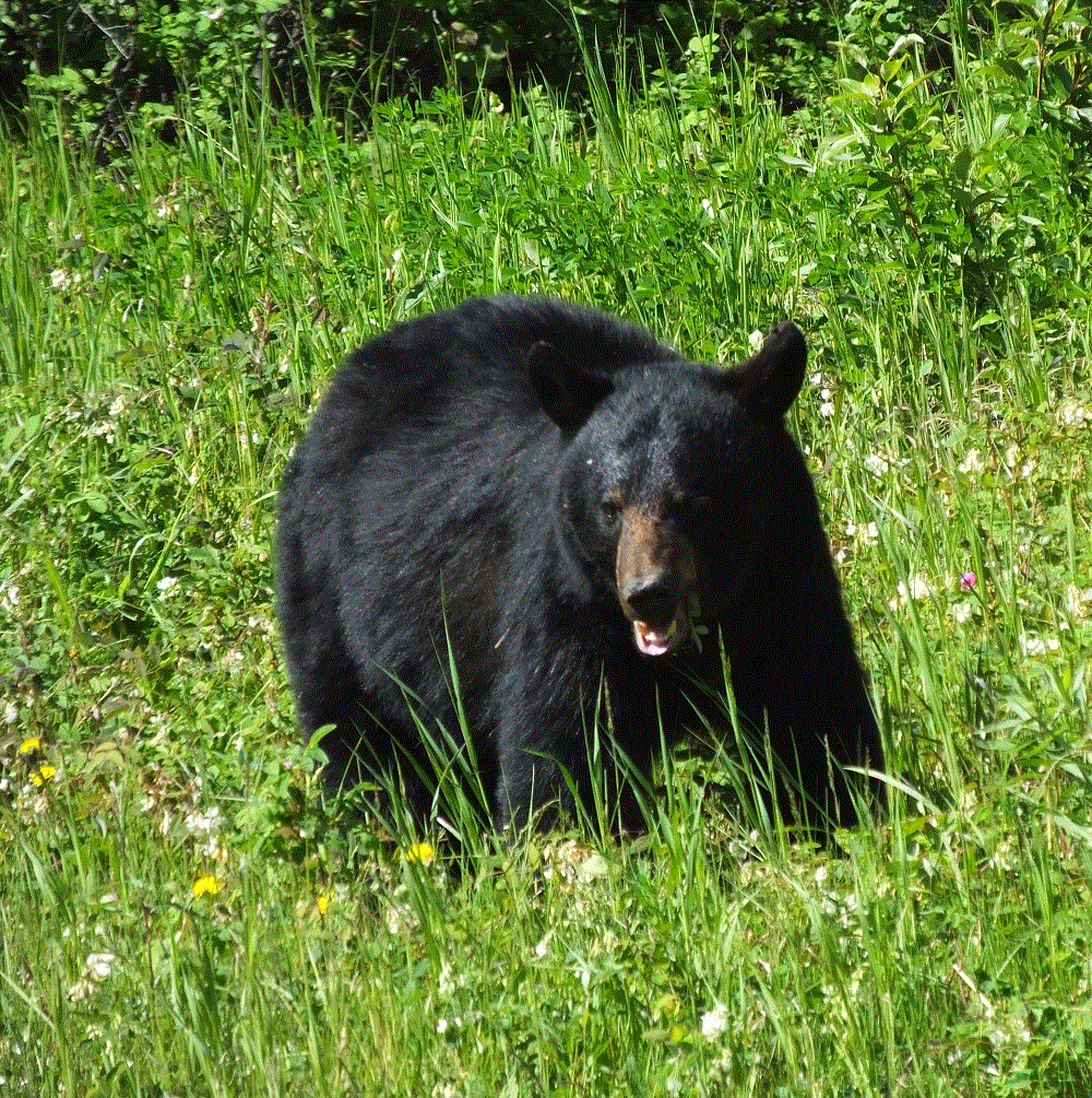
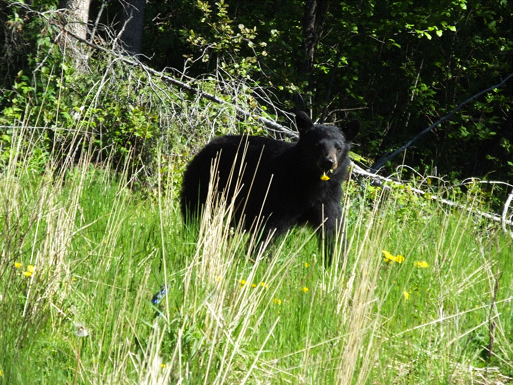
Critter Count Day 6  (Lake Creek to Tok)

NONE.  They must have been sleeping after being up during the summer solstice!

Coming Up – A Week in Beautiful Valdez, Alaska!

Alaska Highway – Segment 5

(2018 Alaska Ep 30)

Restocked and medicine cabinet remounted with four additional screws, we pressed on to Tok, Alaska (RabbiTRAILS Alaska Map, pt #35), with a night at a Yukon Provincial Park (map pt #34) along the way.

Before leaving Whitehorse we visited the world’s largest weathervane at the airport.  A full-sized Douglas DC3, manufactured in 1942 and retired in 1970, is mounted so that it actually turns in the wind!

2018 Alaska Trip 1907 - 1806201046

Later, we skirted snowcapped mountains to the west, part of Kluane National Park and Preserve.

2018 Alaska Trip 1978 - 1806211156

At one point, we noticed the distant mountains were shrouded by haze.  We assumed a forest fire, but discovered the haze was an immense dust cloud raised by winds blowing along a dried portion of Kluane Lake.

That afternoon we watched a mother grizzly bear and her two cubs near Destruction Bay.

2018 Alaska Trip 1992 - 1806211437

We thought the name Destruction Bay referred to poor roads in the area and their effect on RVs.  The name was actually given following a storm that destroyed buildings and such when the Alaska Highway was being built.

Our stop for the night was at Lake Creek Yukon Provincial Park.  We enjoyed the quiet campground.  The hungry Yukon mosquitoes enjoyed us….

Critter Count Day 5 (Whitehorse to Lake Creek)

  • grizzly bears – 3

Alaska Highway – Whitehorse

(2018 Alaska Ep 29)

We arrived in Whitehorse (RabbiTRAILS Alaska Map, pt #33) on June 18 and stayed for three days.

We biked and hiked along the Yukon River, and enjoyed the excellent trails that extend throughout the town.  We rode past the SS Klondike, a sternwheeler that ran freight between Whitehorse and Dawson City from 1929 to 1950.  The ship is now a national historic site.

2018 Alaska Trip 1899 - 1806191954

The Yukon is dammed upriver from Whitehorse.  Besides hydro power and the trails mentioned above, there are various other recreational opportunities, such as kayaking (downriver) and boating (upriver).

We visited the Yukon Wildlife Preserve where a number of animals native to the north can be seen in their natural habitat.   The animals include mule deer, wood bison, elk, musk ox, thin horn sheep, caribou (also known as reindeer), mountain goats, arctic and red fox, lynx and moose.

We also restocked our groceries at a smaller-than-normal Wal-Mart, the first we’d seen since Dawson Creek more than 900 miles back.  We counted more than 50 RVs in the parking lot, who were enjoying a free night stay and convenient shopping.

Finally, we celebrated Pat’s birthday with dinner at the Klondike Rib and Salmon BBQ.  We ended a great meal with birthday-sized bread pudding!

2018 Alaska Trip 1896 - 1806191911

Alaska Highway – Segment 4

(2018 Alaska Ep 28)

We continued from Watson Lake (RabbiTRAILS Alaska Map, pt #32) to Whitehorse (map pt #33) on June 18 – past boreal forests, catching glimpses of snowy mountains in the distance.

kluane-roadside

Alaska Highway and Yukon guides, and numerous information displays along the road reference the term boreal – we wondered about the meaning of the word.

A boreal climate is characterized by long winters and short, cool to mild summers, and is just south of the Arctic.  We have been fortunate that our Alaska Highway trip has been very pleasant with little or no rain.

A boreal forest is characterized by coniferous trees – we have driven by miles and miles of spruce and pine trees.  Sizes vary, with shorter trees in areas of past forest fires or flat areas where permafrost keep tree roots very shallow stunting tree growth.

There are also stands of aspen and other broadleaf trees.  Perhaps we will see leaves changing when we begin the trip home in early September.

Our fears of the condition of the Alaska Highway have generally been unfounded.  The road is in good shape, with few rough areas and occasional road construction.  Road construction is extremely dusty – the dust gets onto and into everything.

Alaska Highway road construction is a short video that shows typical road construction on the Alaska Highway.  Note the dust clouds created by the vehicles ahead!  (this is an experiment – it may take a moment to load.  Please let us know in the comments if the video works for you)

The long road has taken its toll.  When we stopped for lunch we discovered the bathroom medicine cabinet fell off the wall!  There was no damage other than four gaping holes in the wall where the screws that held the cabinet pulled out and various items strewn all over the floor.

At the end of the day we arrived in Whitehorse, the capital and largest city in Yukon with about 25,000 residents.

Critter Count Day 4 (Watson Lake to Whitehorse)

  • black bear – 4
  • grizzly bear – 1
  • bald eagles – 2

2018 Alaska Trip 2071 - 1806261357

Alaska Highway – Segment 3

(2018 Alaska Ep 27)

On June 17 we made our way from Muncho Lake (RabbiTRAILS Alaska Map, pt #31) to the small town of Watson Lake, Yukon (map pt #32).  North of Liard Hot Springs, we saw signs advising of Wood Bison along the highway.  We weren’t disappointed.

We stopped to see several individual and two larger herds of Wood Bison.

Our first take was the wood bison were smaller than the plains bison commonly seen at Yellowstone and elsewhere.  We learned that wood bison are actually larger but their overall numbers are much fewer.  Their behavior and demeanor are very similar, however.

Some even like to take dust baths to remove mites and excess winter coats  It is a sight indeed to see a 1500+ pound, 6-foot tall behemoth roll in the dirt like a hound dog!

Watson Lake

We arrived in Watson Lake, Yukon several hours later, and after getting set up, we visited what everyone who comes to Watson Lake visits – the sign post forest.

During construction of the Alaska Highway in 1942, a homesick soldier from Illinois added his hometown sign to an Army mileage post.  Others did the same and this quickly became a tradition followed by visitors from all over the world.  The single signpost has grown to a forest, with 90,000+ signs added over the years.

Make that 90,001 signs.

2018 Alaska Trip 1859 - 1806171540

Critter Count Day 3 (Munchos Lake to Watson Lake)

  • wood bison – 56
  • black bear – 1 (smiling for the camera below)
  • stone sheep – 1
2018 Alaska Trip 1843 - 1806171145

Alaska – We Made It!

(2018 Alaska Ep 26)

Alaska-Made It

At 11:30 am on Friday, June 22, we crossed into Alaska from Canada.  WE MADE IT!!

Our journey has taken us 9391 miles and 69 days thus far.

Many thanks for your prayers and good wishes as we endured camper slide problems early on, and a medicine cabinet that fell off the bathroom wall a couple days ago.  More on this and several Alaska Highway updates in a couple days.

For now, we are exiting the Alaska Highway in Tok (RabbiTRAILS Alaska Map pt. #35) and are headed to Valdez for a week (map pt. #37).   Then we will move on to Anchorage (map pt. #38) for July 4.

Alaska Highway – Segment 2

(2018 Alaska Ep 24)

On June 15 we continued northwest on the Alaska Highway.  Our destination was Liard Hot Springs Provincial Park, a must see and do for anyone driving the Alaska Highway.

We crossed valleys framed by majestic snow-covered mountains and skirted lakes that were an amazing shade of blue.  These satisfied our beautiful-view expectations of the Alaska Highway!

DSCF0138
Cinnamon Bun and Coffee

The Milepost (a mile-by-mile guide to the Alaska and other area highways) suggested a stop at Tetsa River RV Park to sample their world famous cinnamon buns.  The small campground store was busy as travelers bought buns and coffee.  We ate ours outside as the owners’ dog eyed us wishfully.  Sorry, boy, not this time…

We decided to stop early at a campground on the shore of Muncho Lake (RabbiTRAILS Alaska Map, pt #31), and to make a day trip the following day to the hot springs.  We got one of three remaining sites in the campground and were glad we decided to stop when we learned the Liard Hot Springs Campground was already full.

DSCF0162
Muncho Lake

Critter Count Day 2 (Fort Nelson to Muncho Lake)

  • black bear – 5
  • deer – 2
  • stone sheep – 5

We declared the bears to be the day’s victor – each bear was seen at a different time.  The stone sheep were all in one group.

Alaska Highway – Segment 1

(2018 Alaska Ep 23)

We are on the final leg of our journey to Alaska – it has taken us nine weeks and close to 8000 miles!

DSCF0067

Anyone making the drive from points south or east to Alaska will likely drive some or all of the Alaska (Alcan) Highway.  From Dawson Creek, British Columbia it extends nearly 1500 miles to Fairbanks, Alaska.   The Alaska Highway is renowned as one of the most scenic drives in the world, and although we are not even halfway finished with the drive, it certainly rates up there with the Blue Ridge Parkway in the eastern US.

Following the bombing of Pearl Harbor in December 1941 and the capture of several Aleutian Islands in early 1942, the highway was deemed a military necessity as a supply road to defend North America against the Japanese.  The construction of the highway began officially on March 8, 1942 and it was completed eight months later on October 25, 1942.  It’s been said the engineering accomplishment building the highway is second to that of building the Panama Canal!

Today’s highway bears little resemblance to the original, with the exception of the incredible scenery.  It is a scenic route that is completely paved and open year round.

We began on June 14 from Dawson Creek (RabbiTRAILS Alaska Map, pt #29).   The first day took us 285 miles north though gentle mountains and valleys to Fort Nelson (map pt #30).  To the west we caught view of majestic mountain ranges that we would soon pass through.

DSCF0110
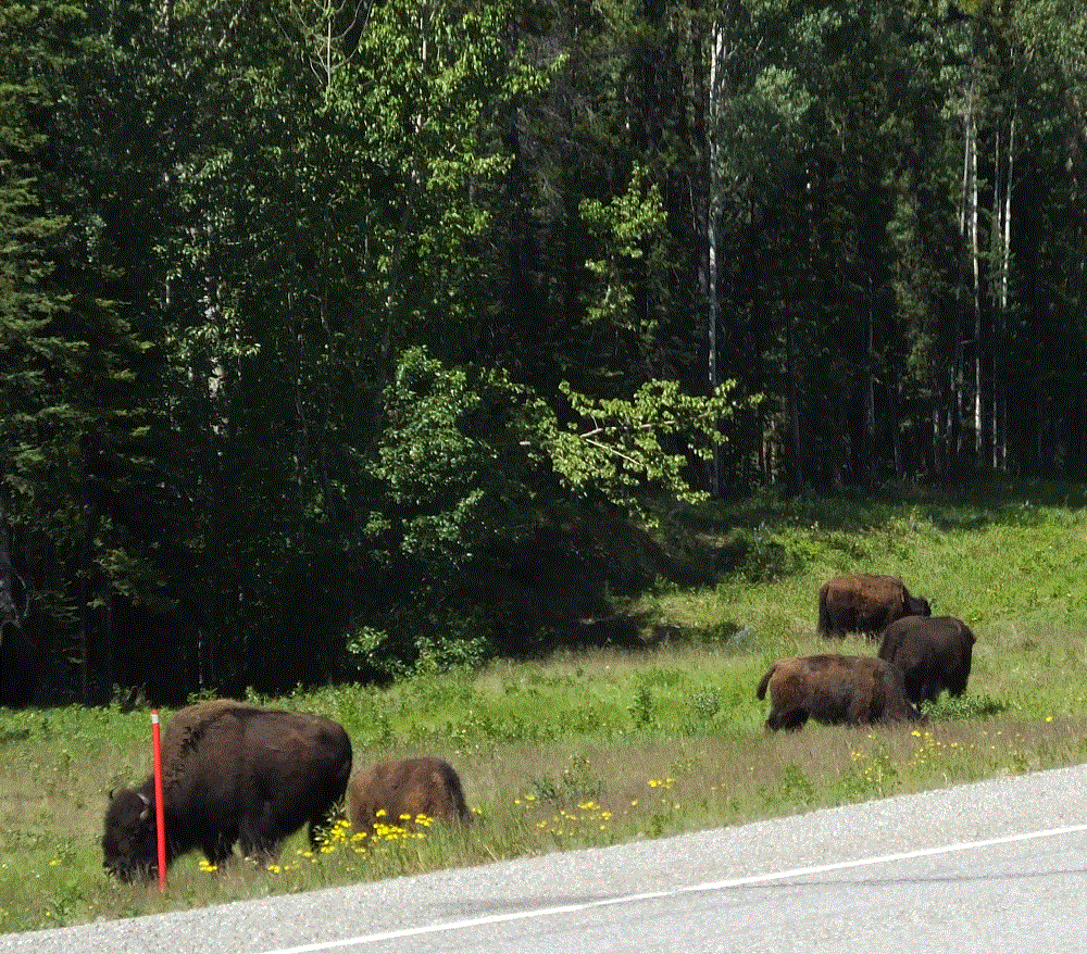
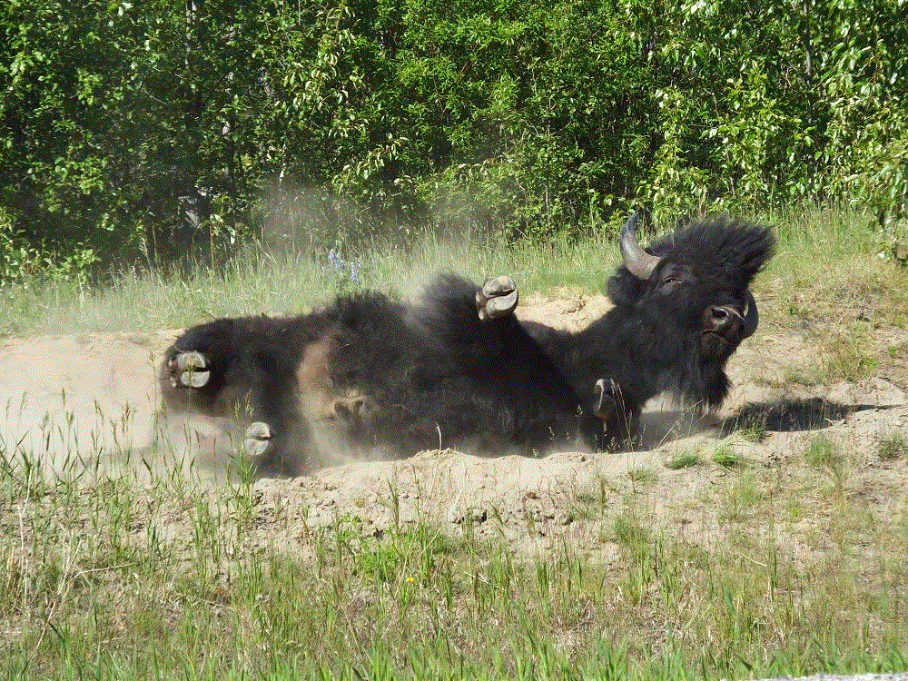
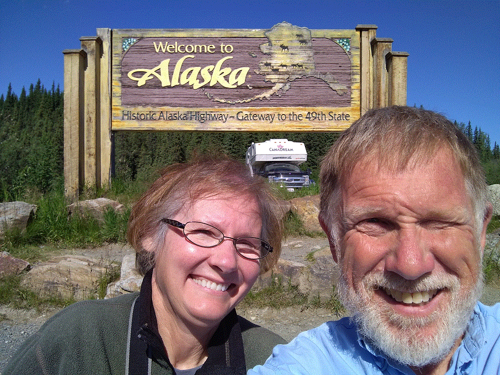
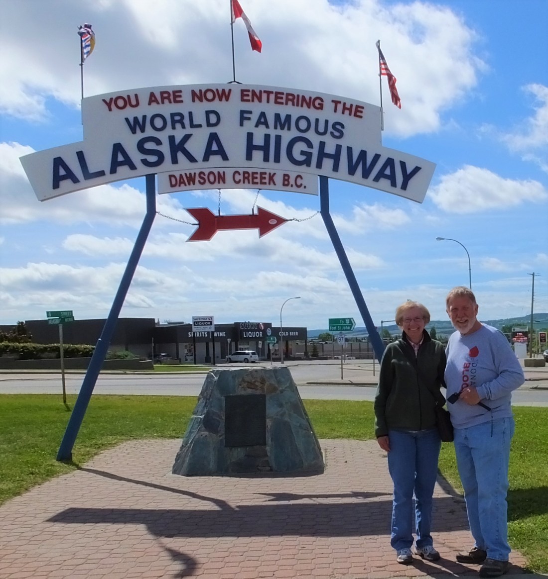
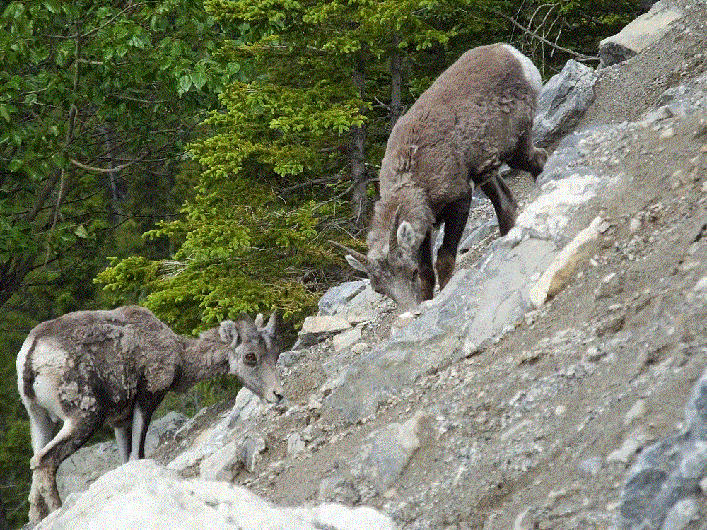
Critter Count Day 1 (Dawson Creek to Fort Nelson)

We’re keeping tabs on the animals we see during our drive.  The first day started slowly:

  • white tailed deer – 2