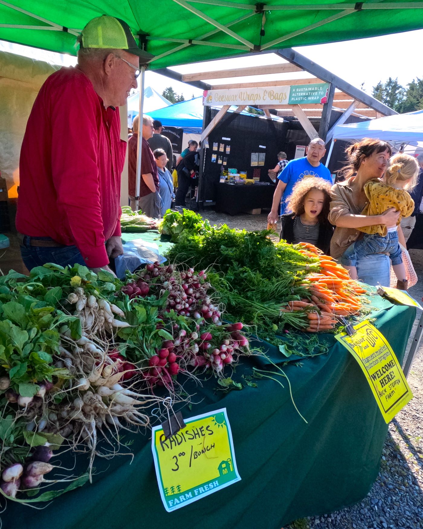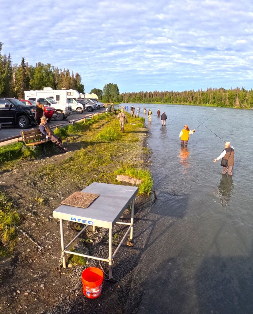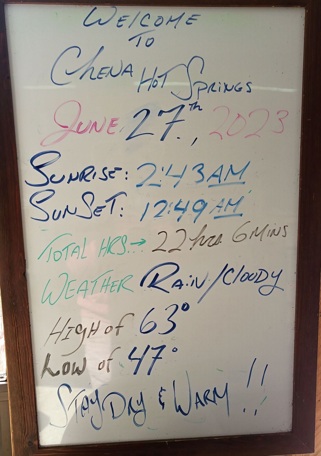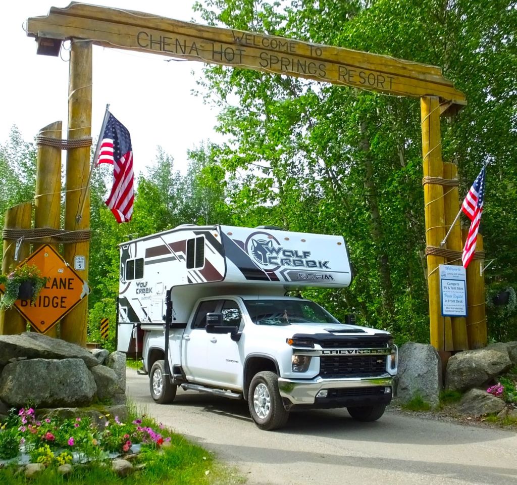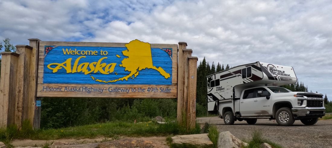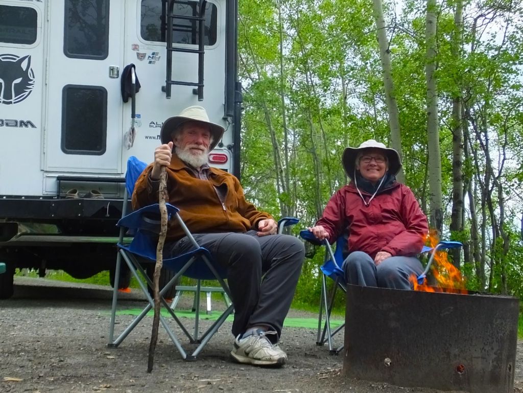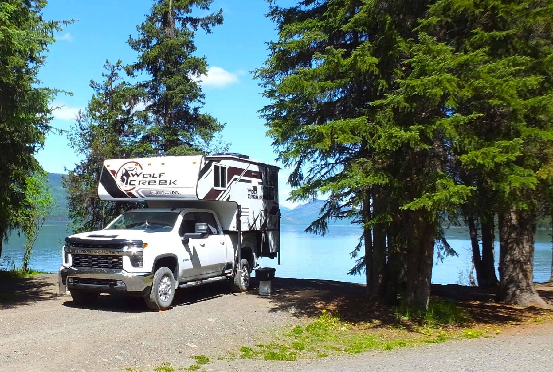
(2023 Alaska Revisited Ep 20)
After nearly four weeks on the Kenai Peninsula, it was time to move on. The summer was more than half over and there’s lots more Alaska to see. On to Valdez!
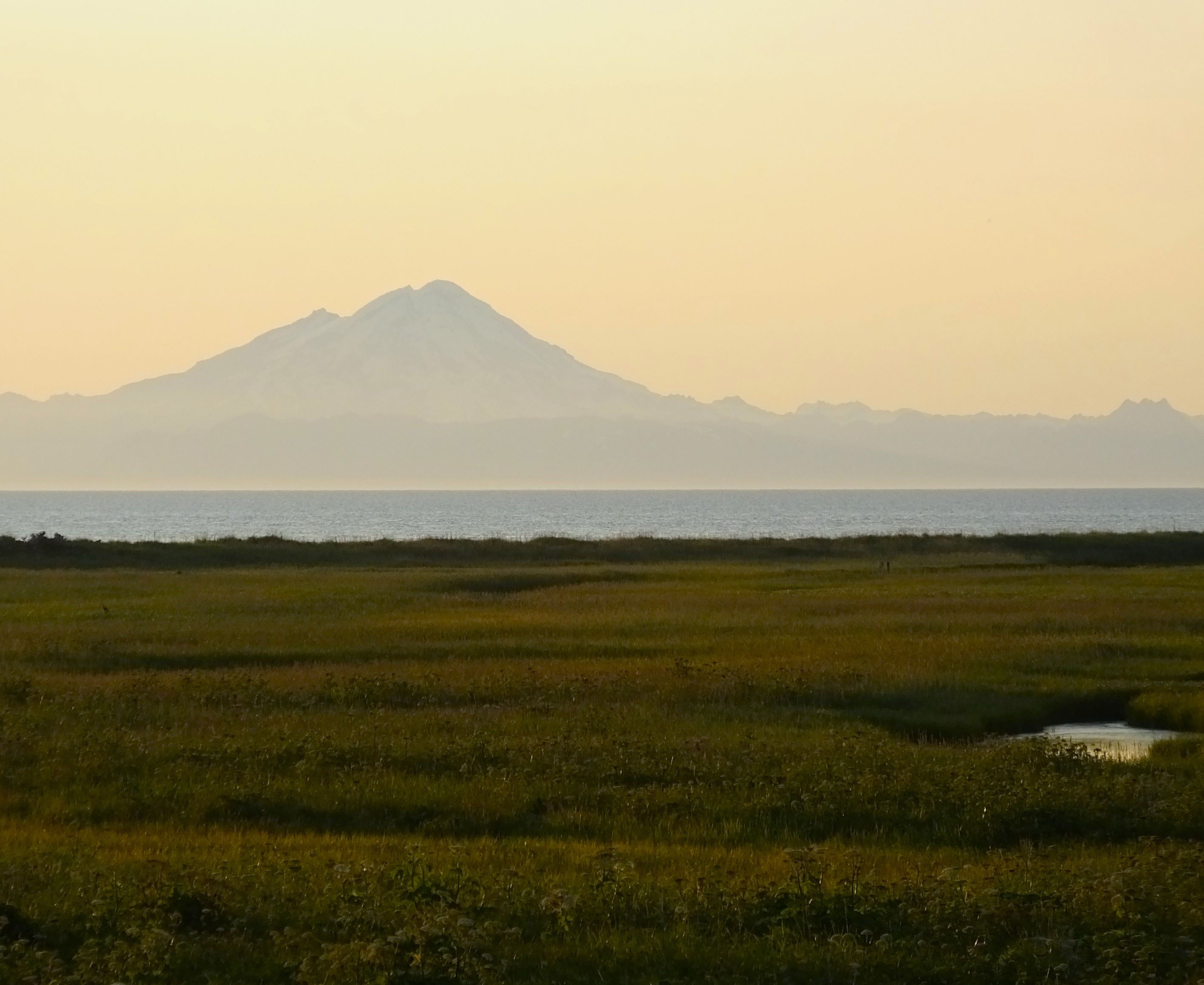
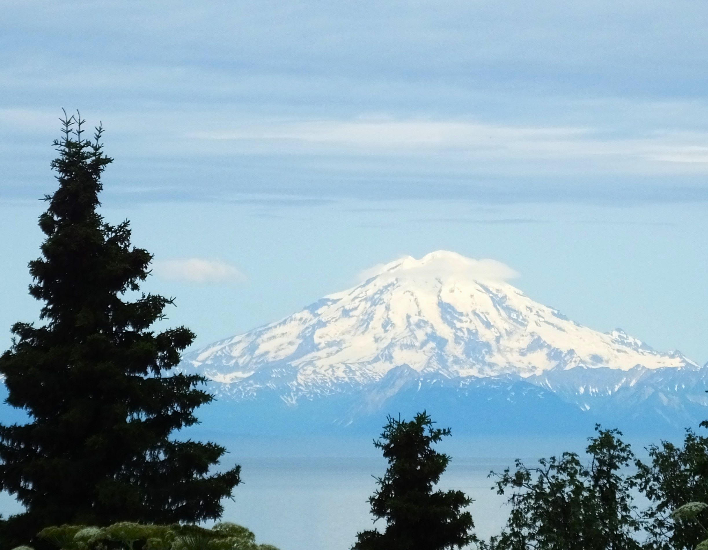
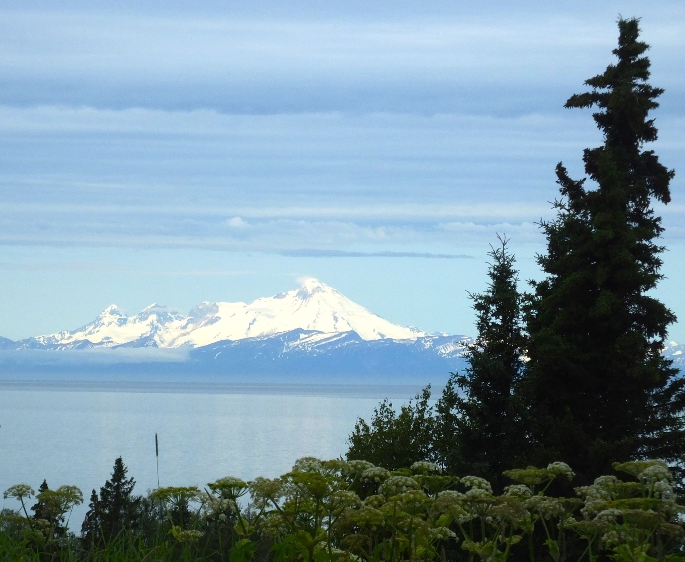
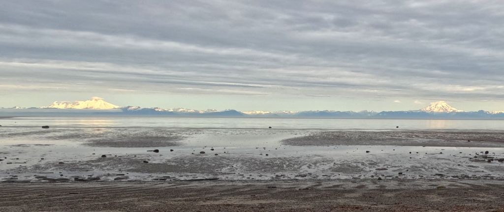
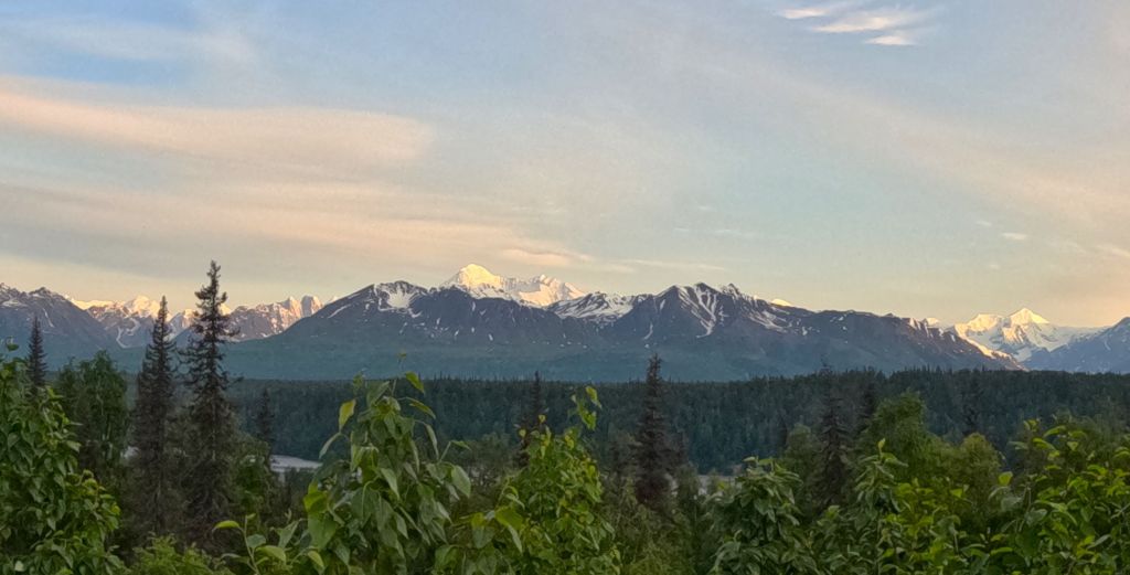
Views at Anchor Point – Mt Redoubt Volcano from our campsite; North America’s most western highway point
Anchor Point
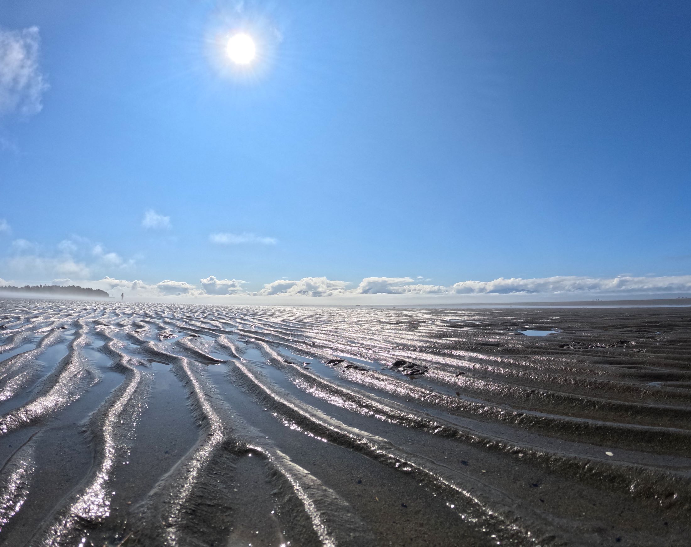
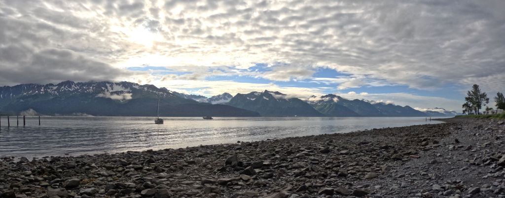
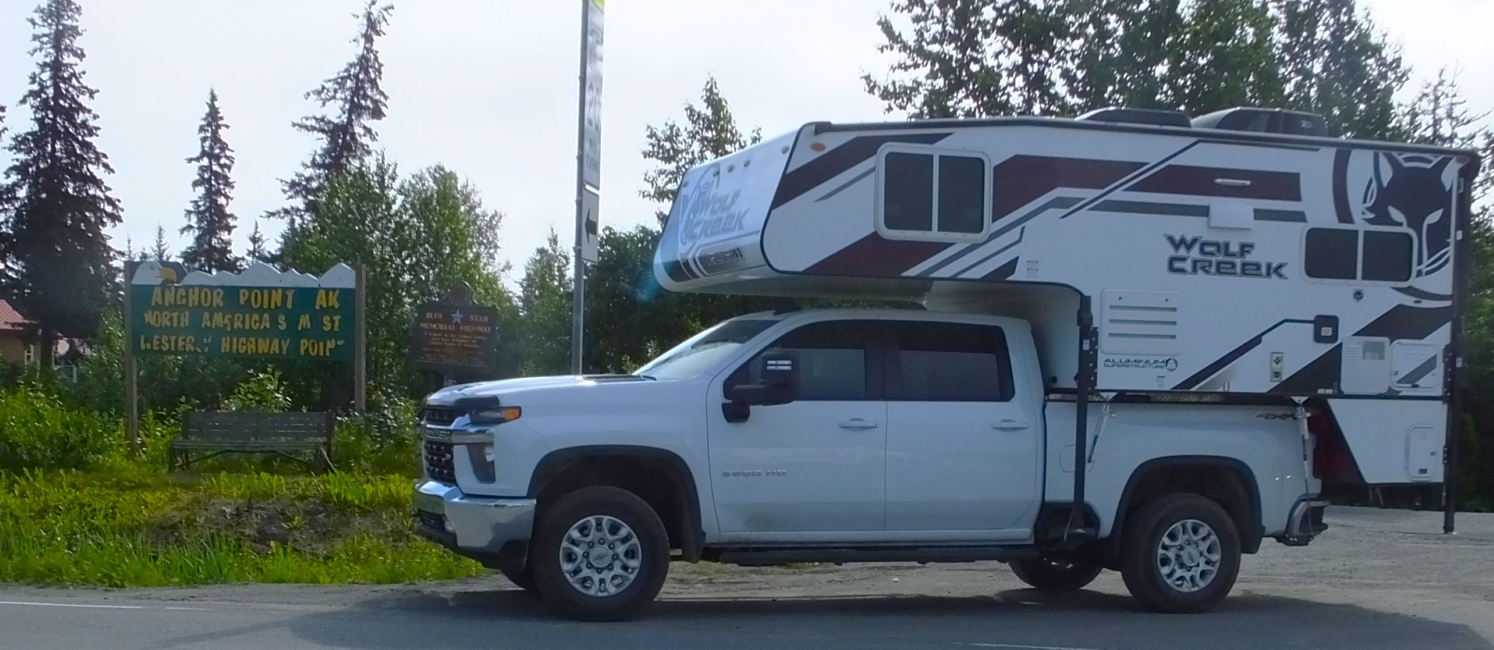
We stopped for the night at Anchor Point, 30 minutes north of Homer. Anchor Point has the distinction of being North America’s most westerly highway point.
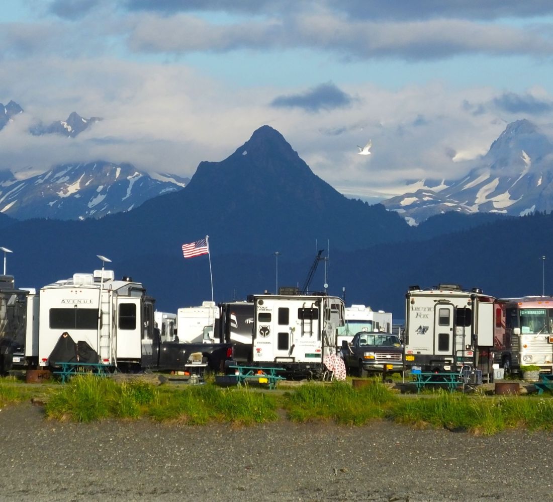
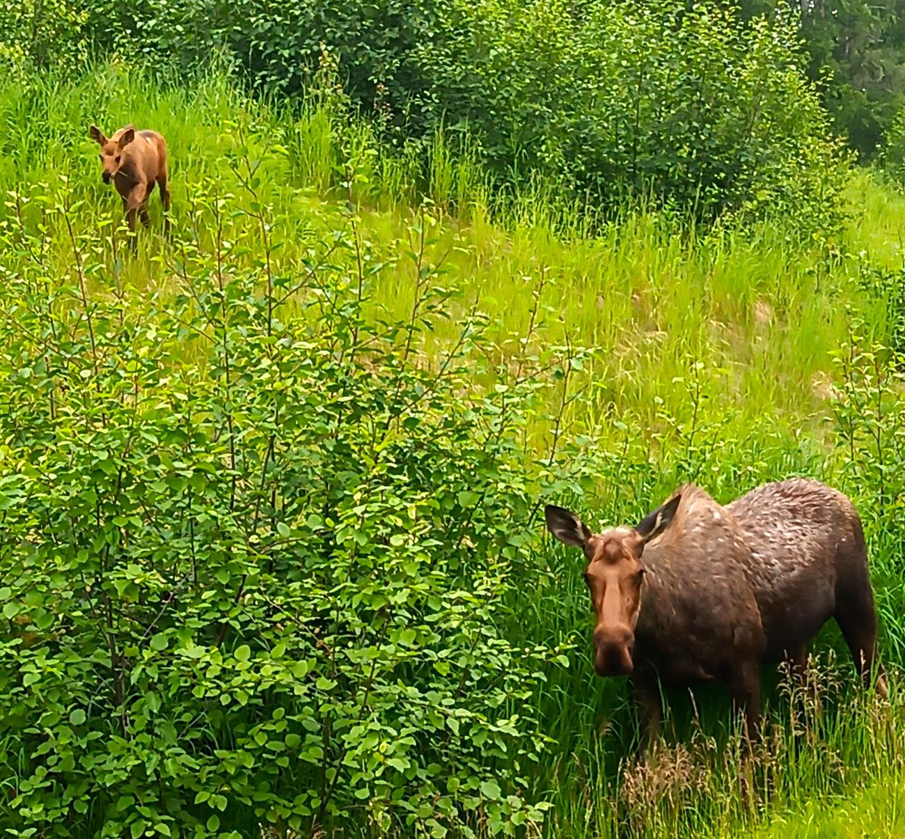
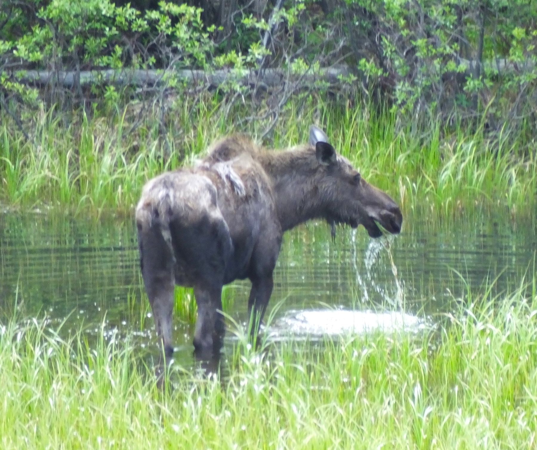
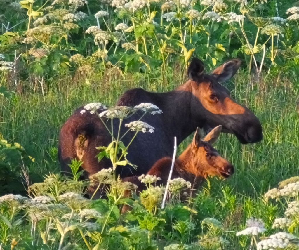
We camped in Kyllonen’s RV Park, the same campground we enjoyed in 2018. Our campsite overlooked a broad expanse of low bushes and small trees bordered by the Anchor River and snowy Mt Redoubt volcano across the Cook Inlet. Imagine my surprise to see a mama moose and her calf grazing their way across the thicket as the sun was setting. It was after 10:30 pm and I watched them for nearly an hour!
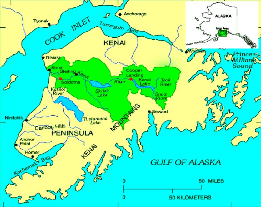
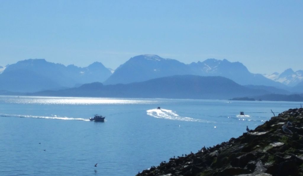
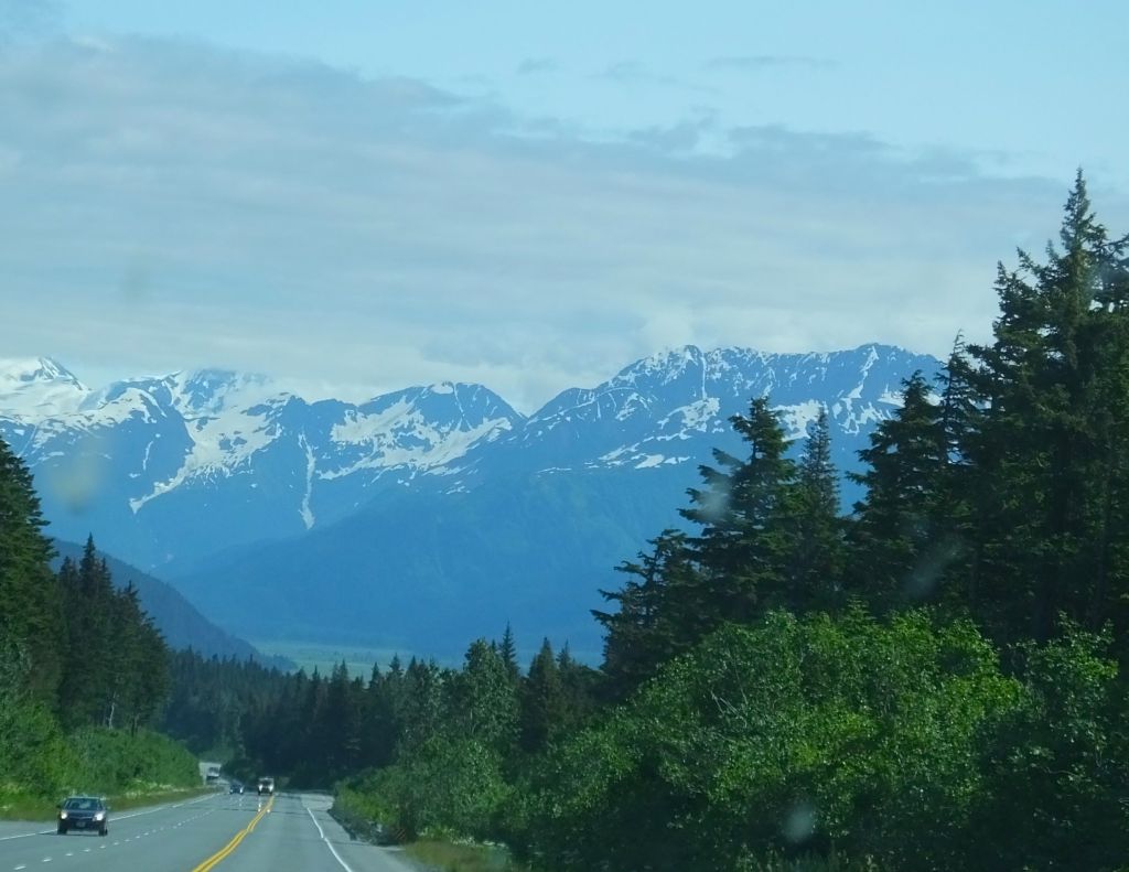
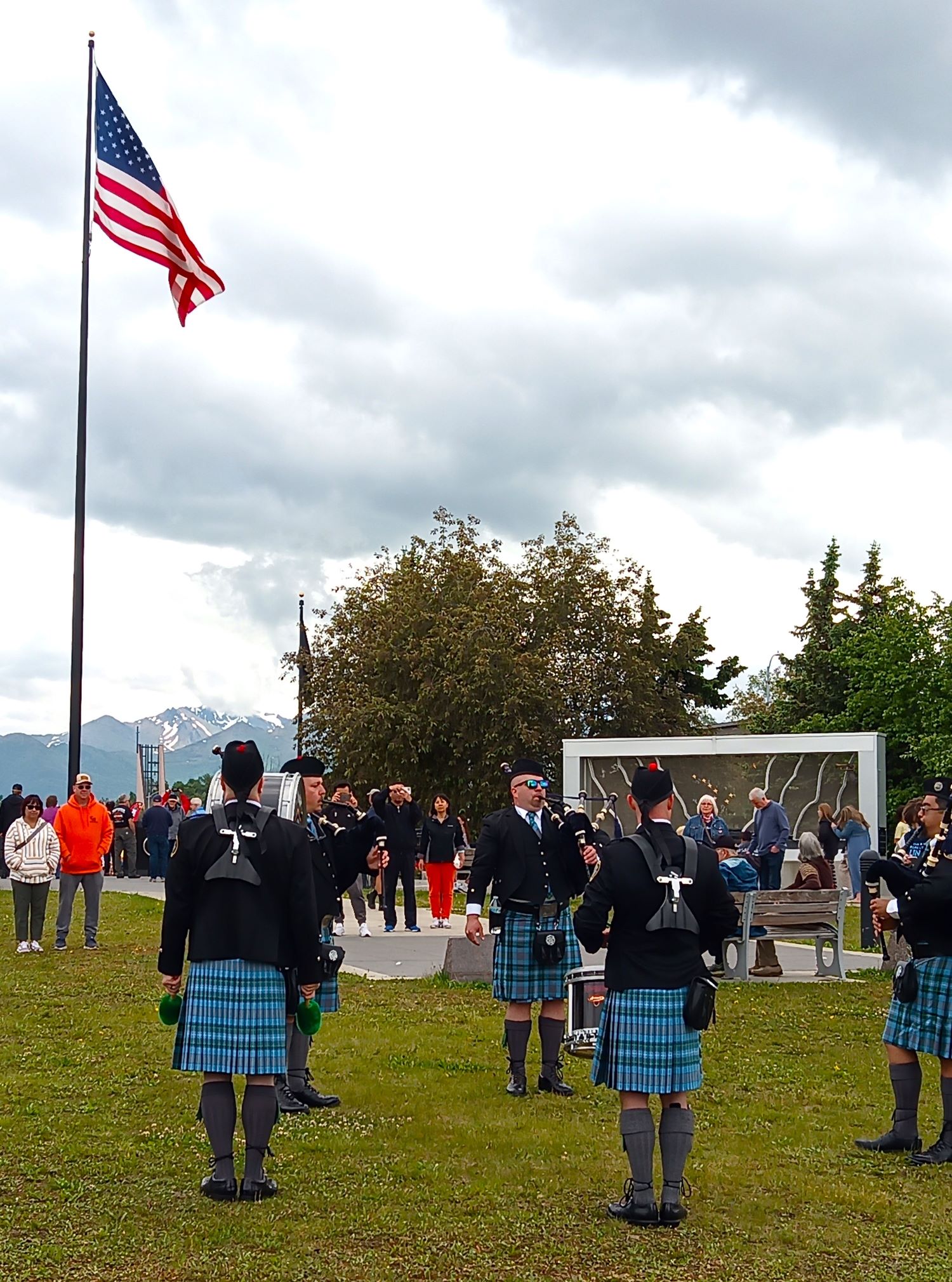
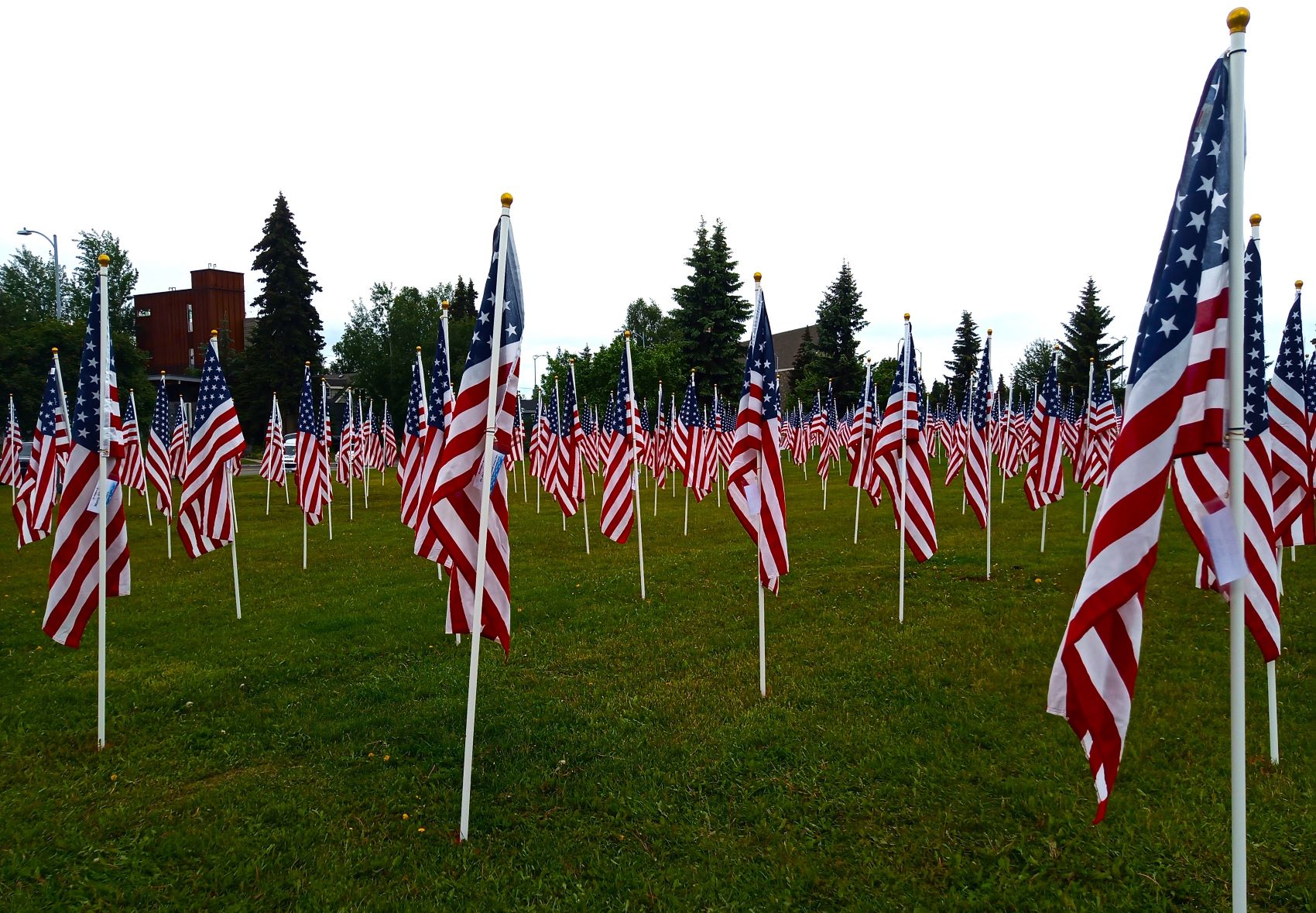
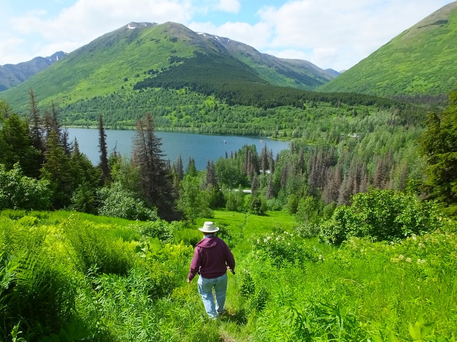
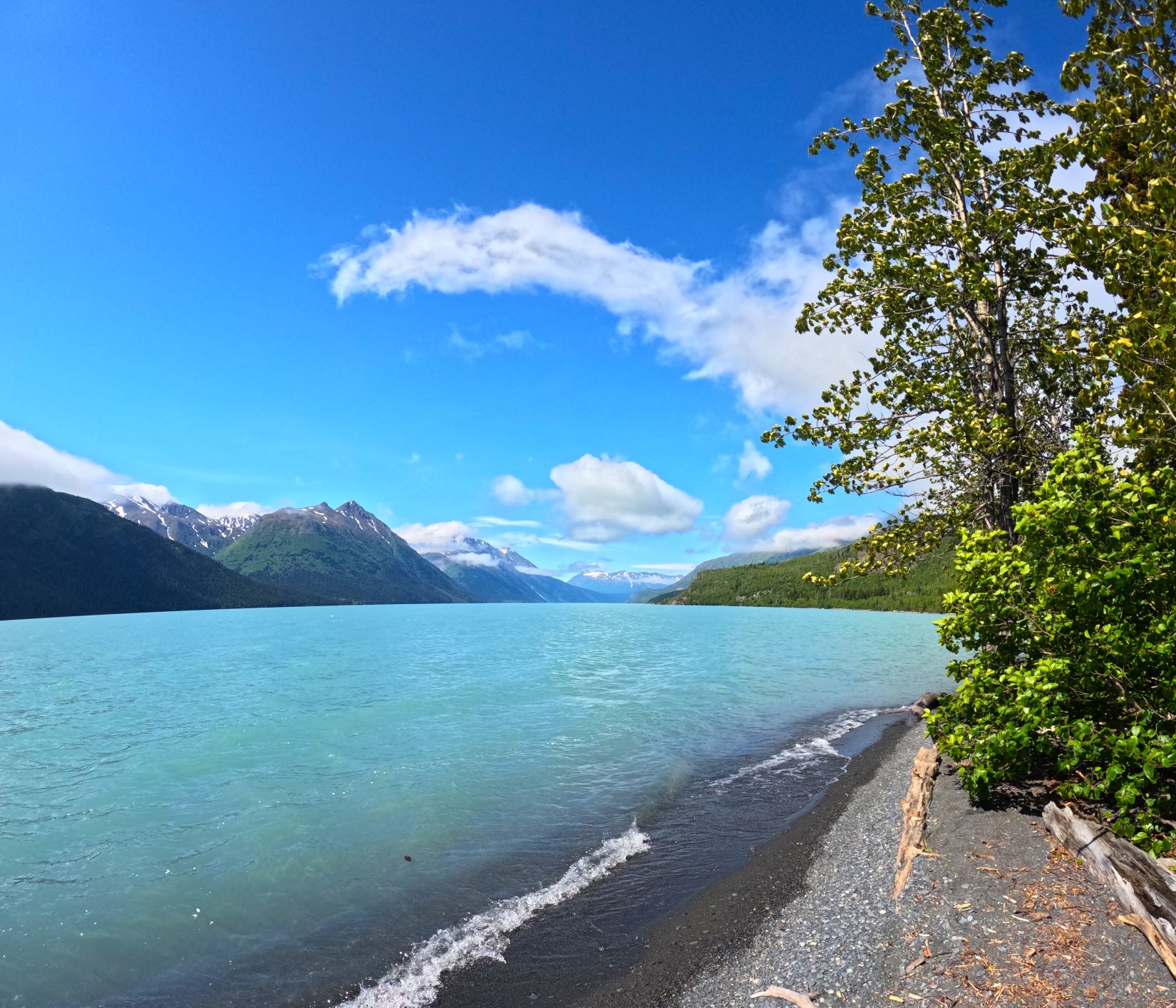
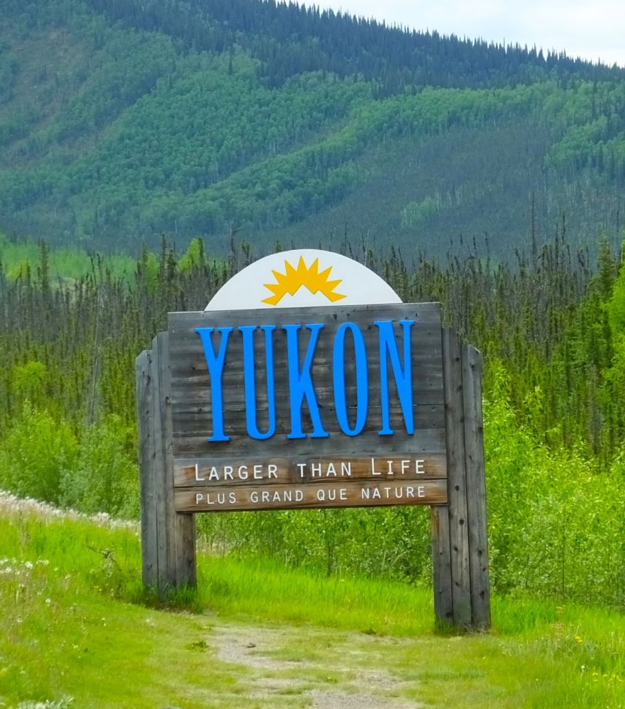
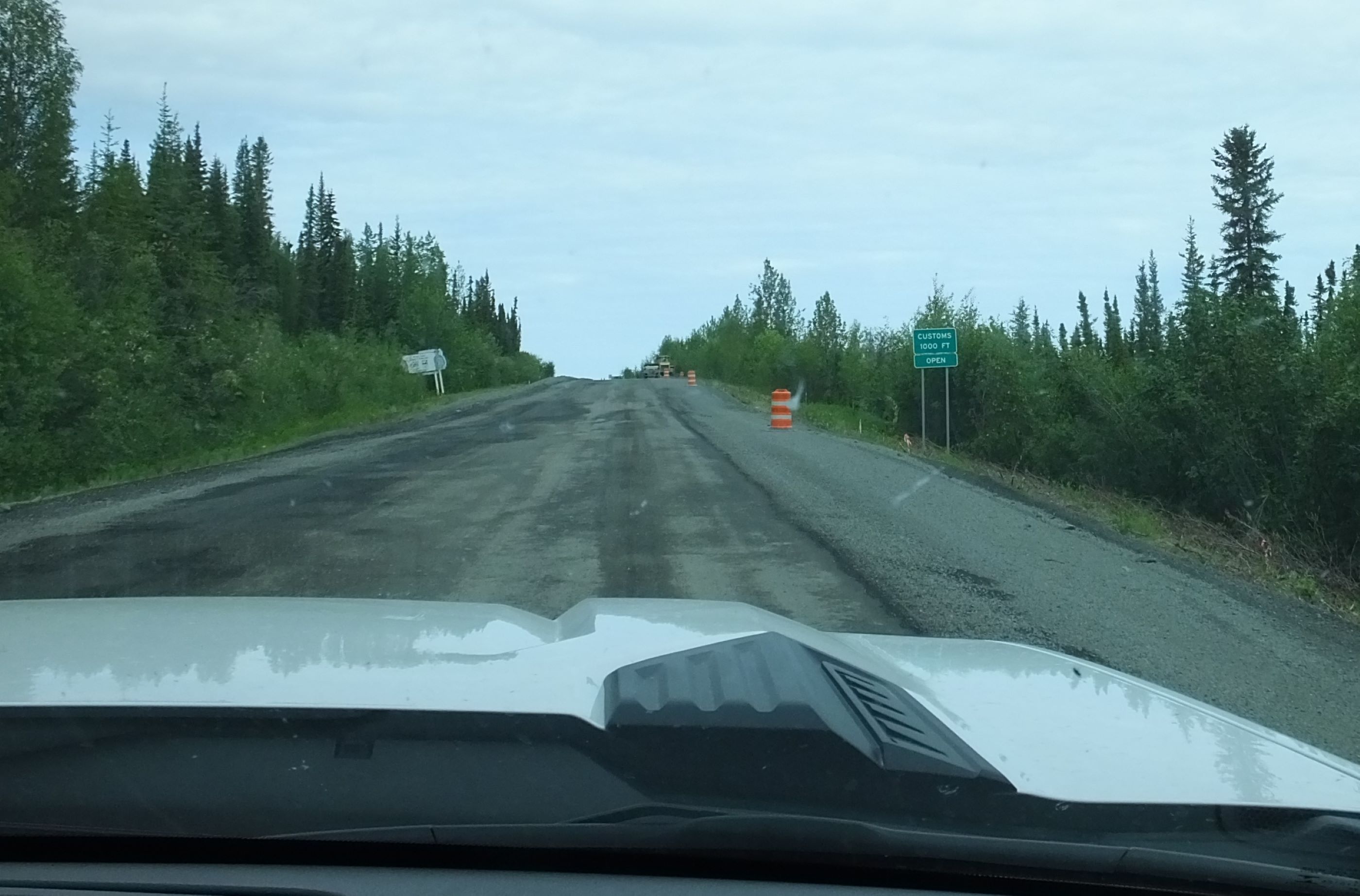
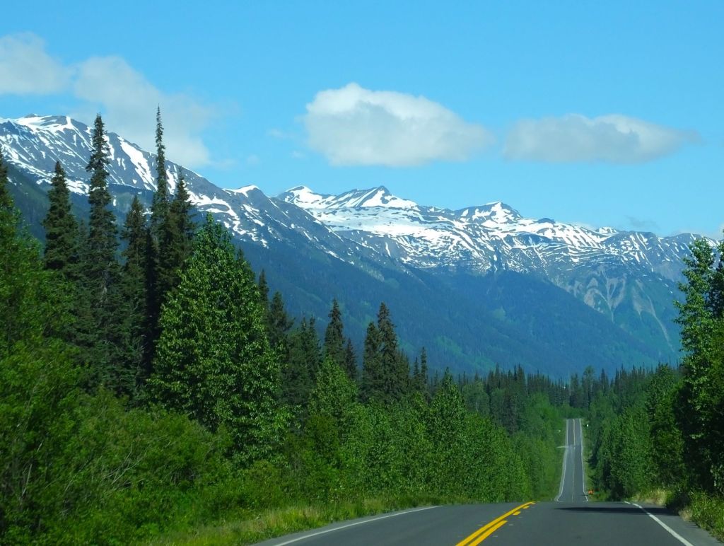
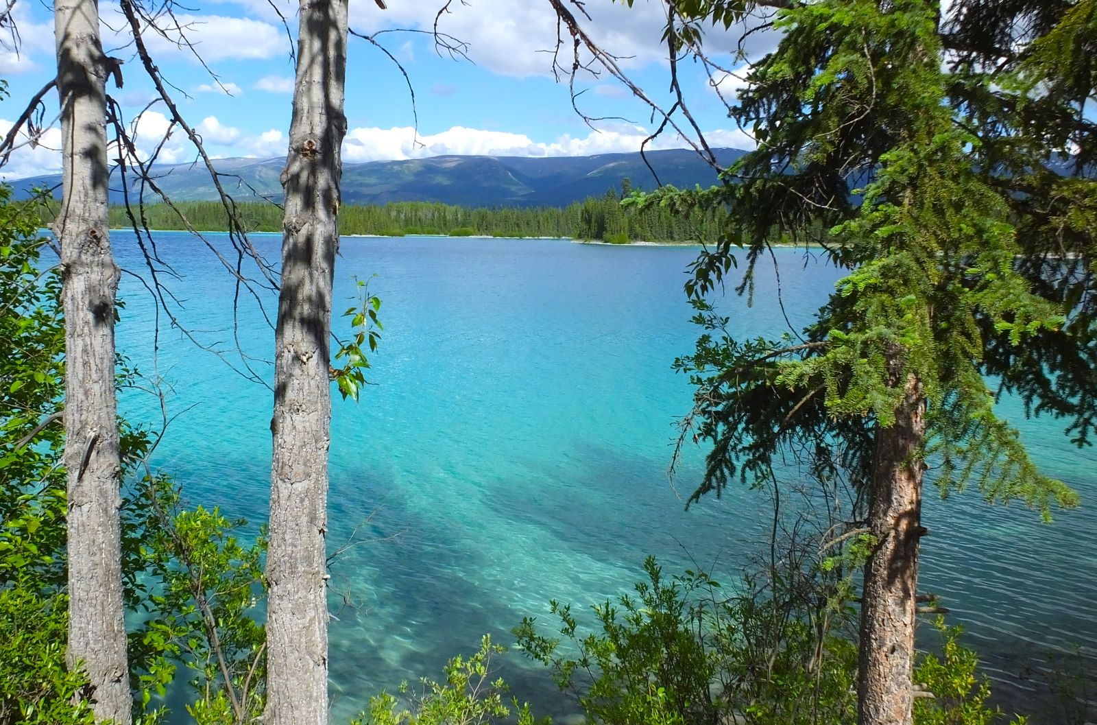
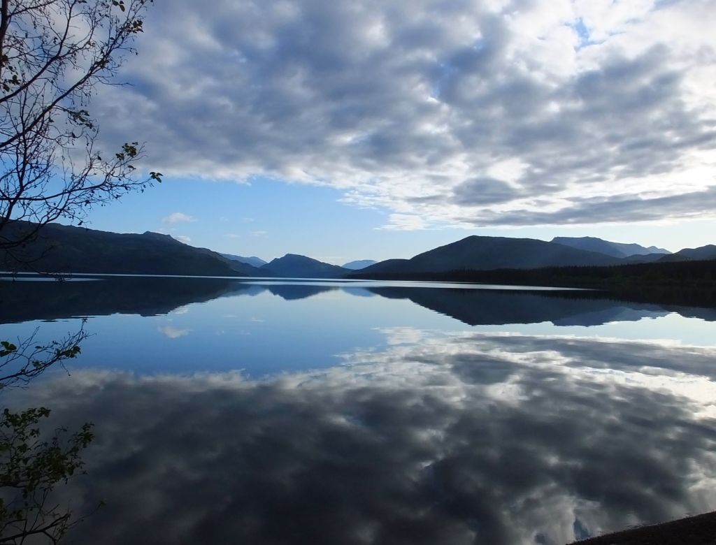
Bound for Valdez, our route took us past Soldotna, Williwaw, Turnagain Arm and Anchorage, earlier stops on our travels. We took our time, camping several nights before we neared our destination.
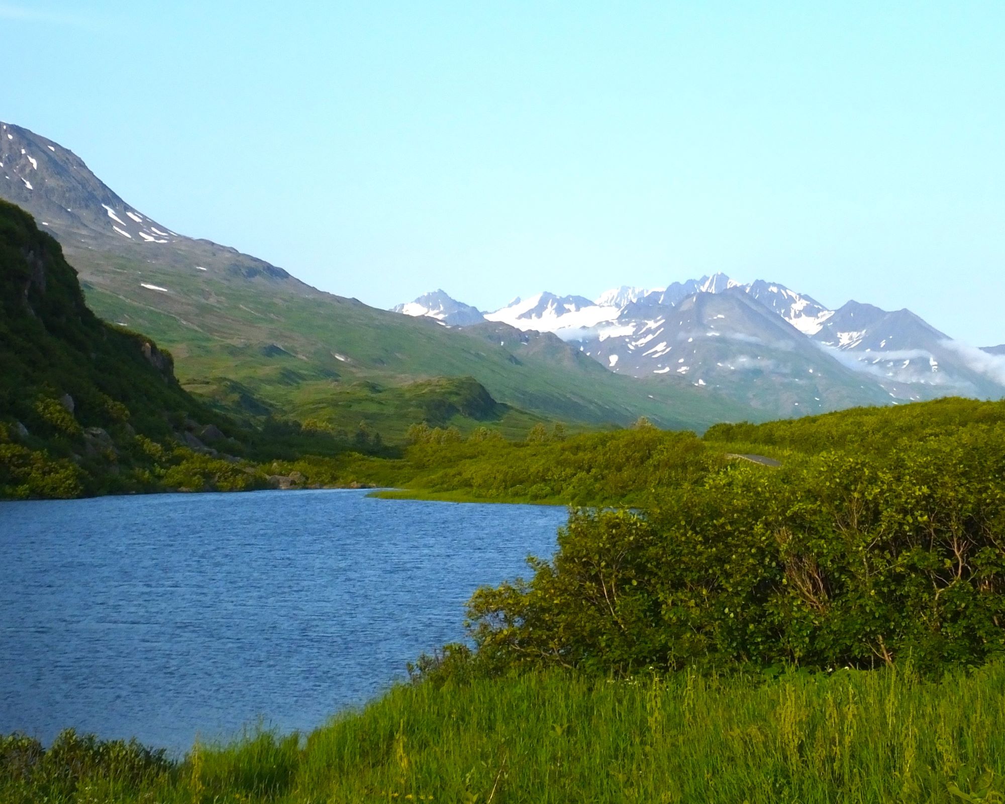
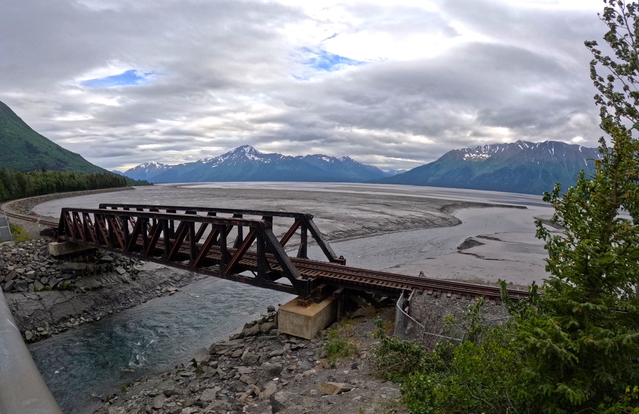
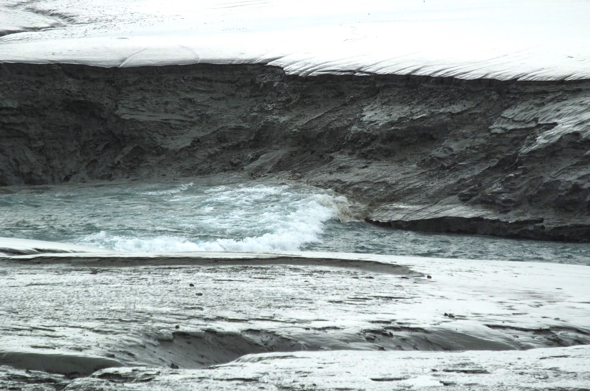
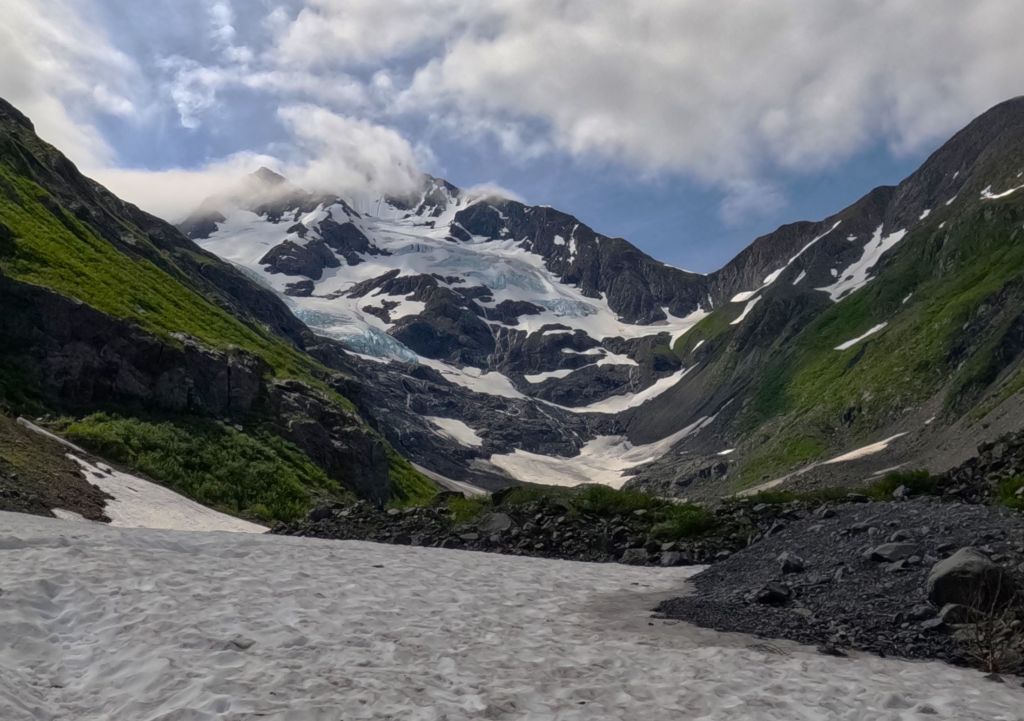
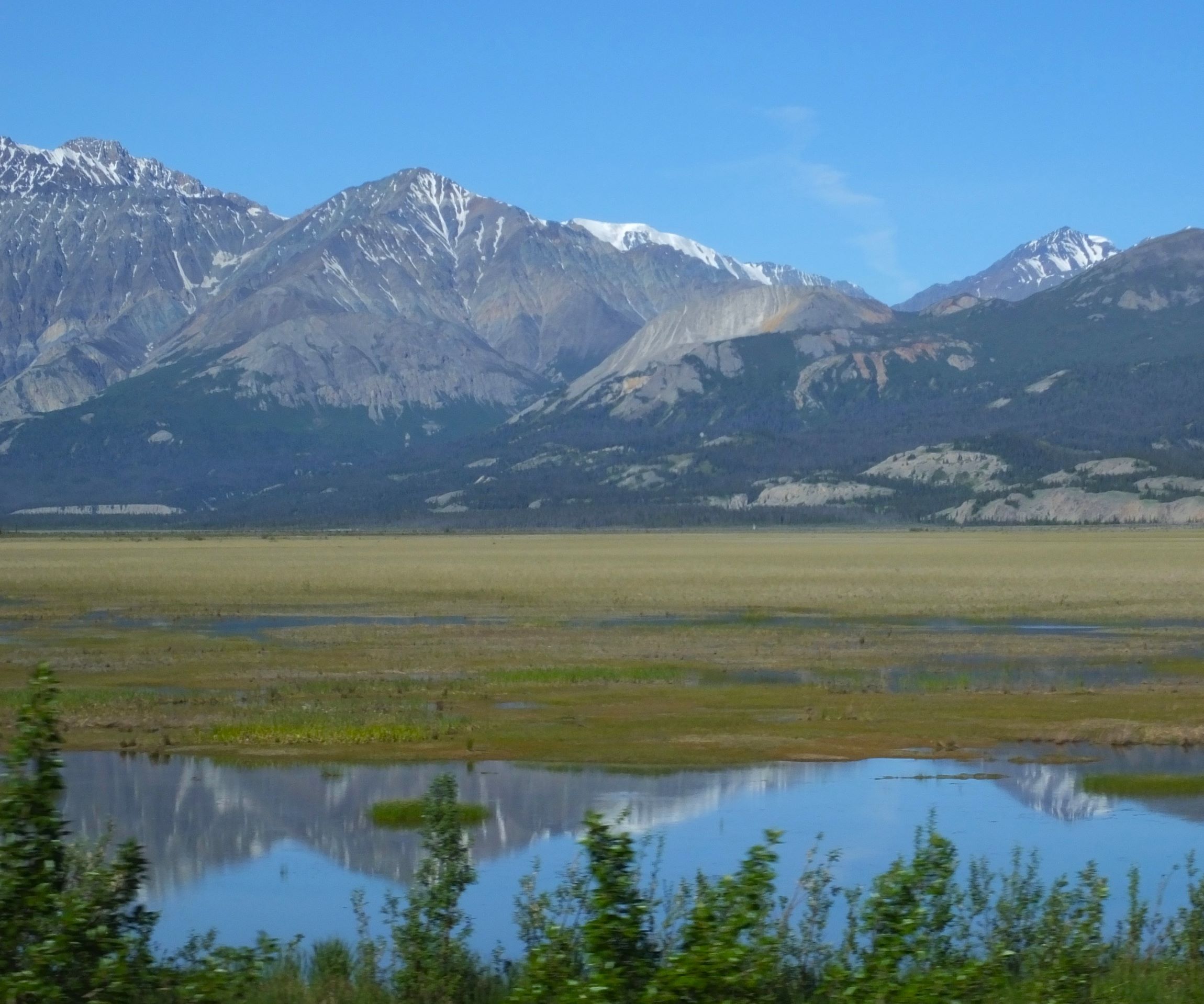
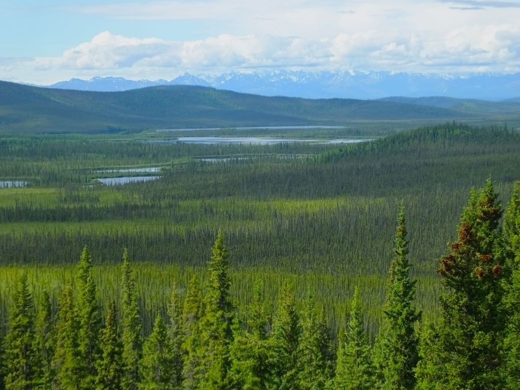
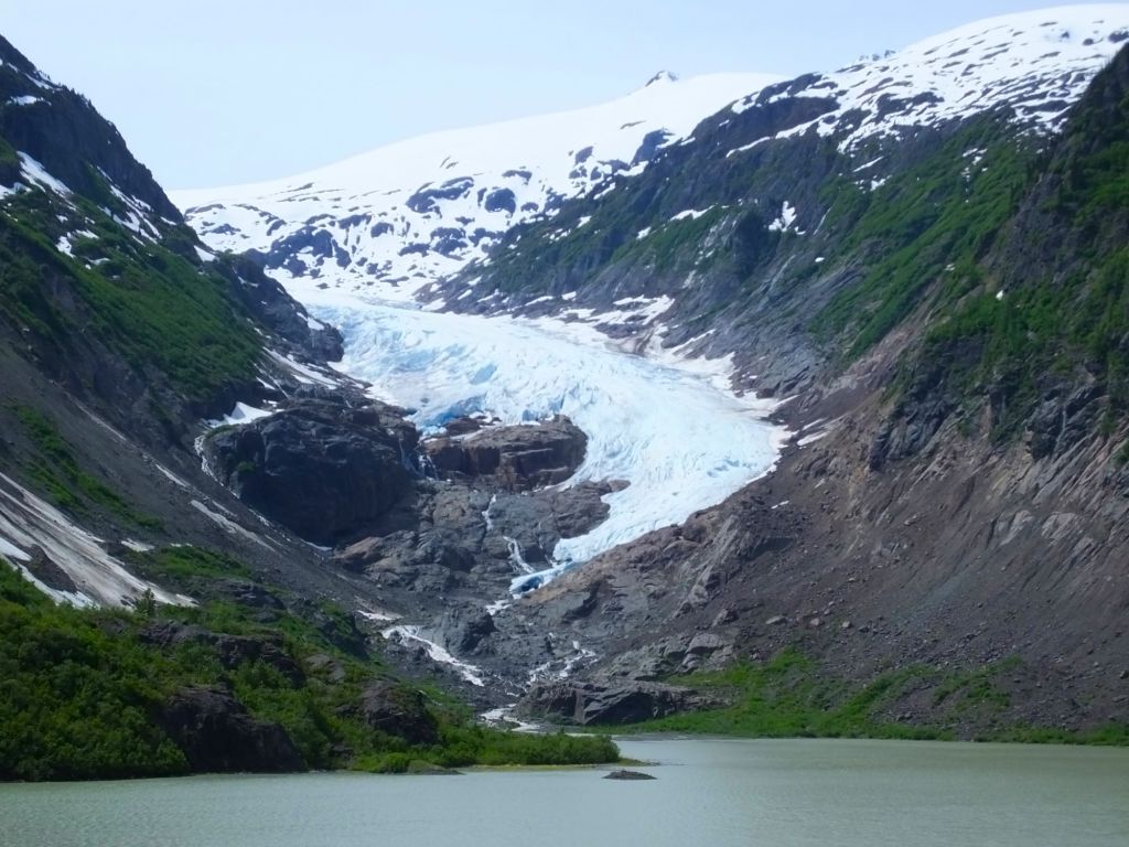
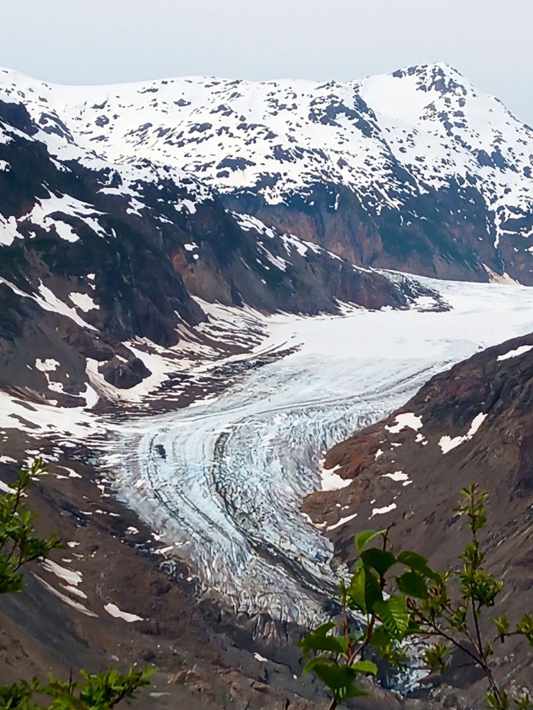
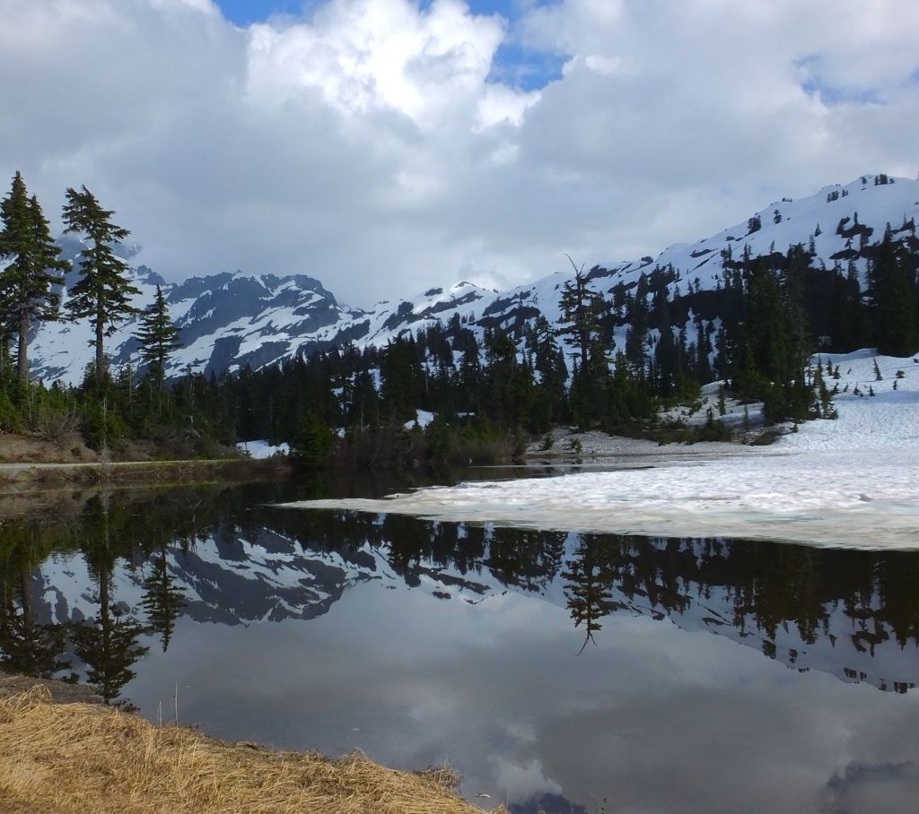
Thompson Pass views near Valdez – Blueberry Lake and Worthington Glacier
Valdez
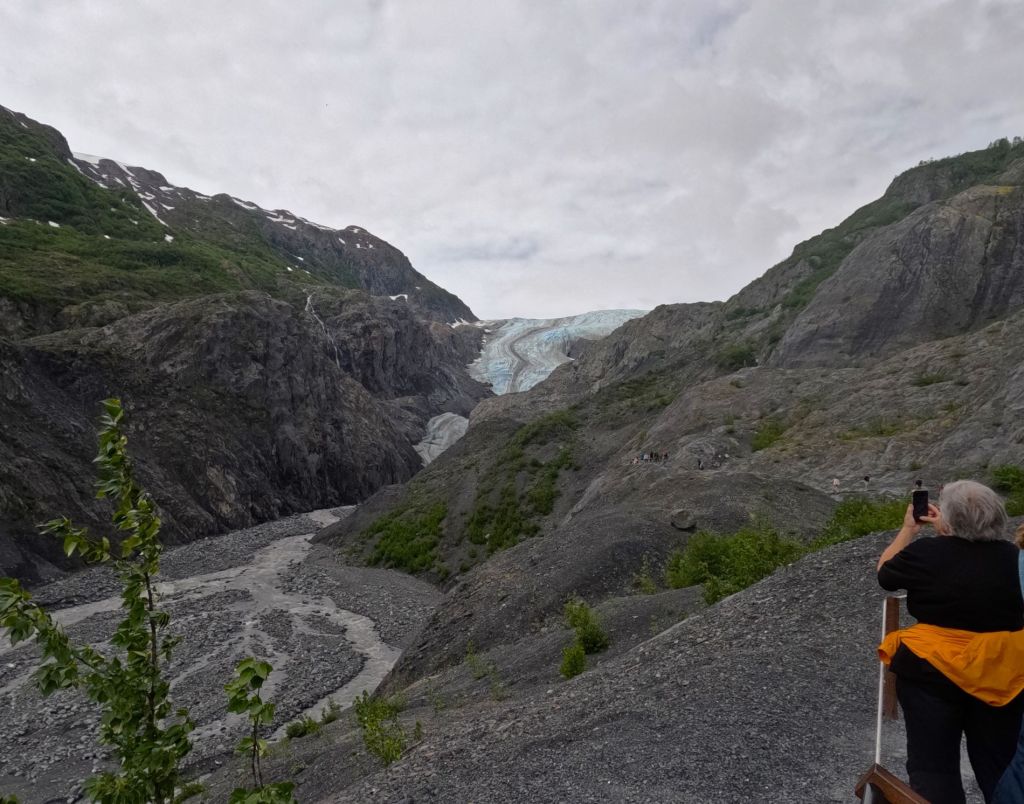
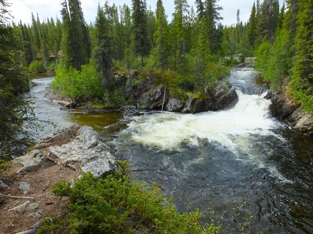
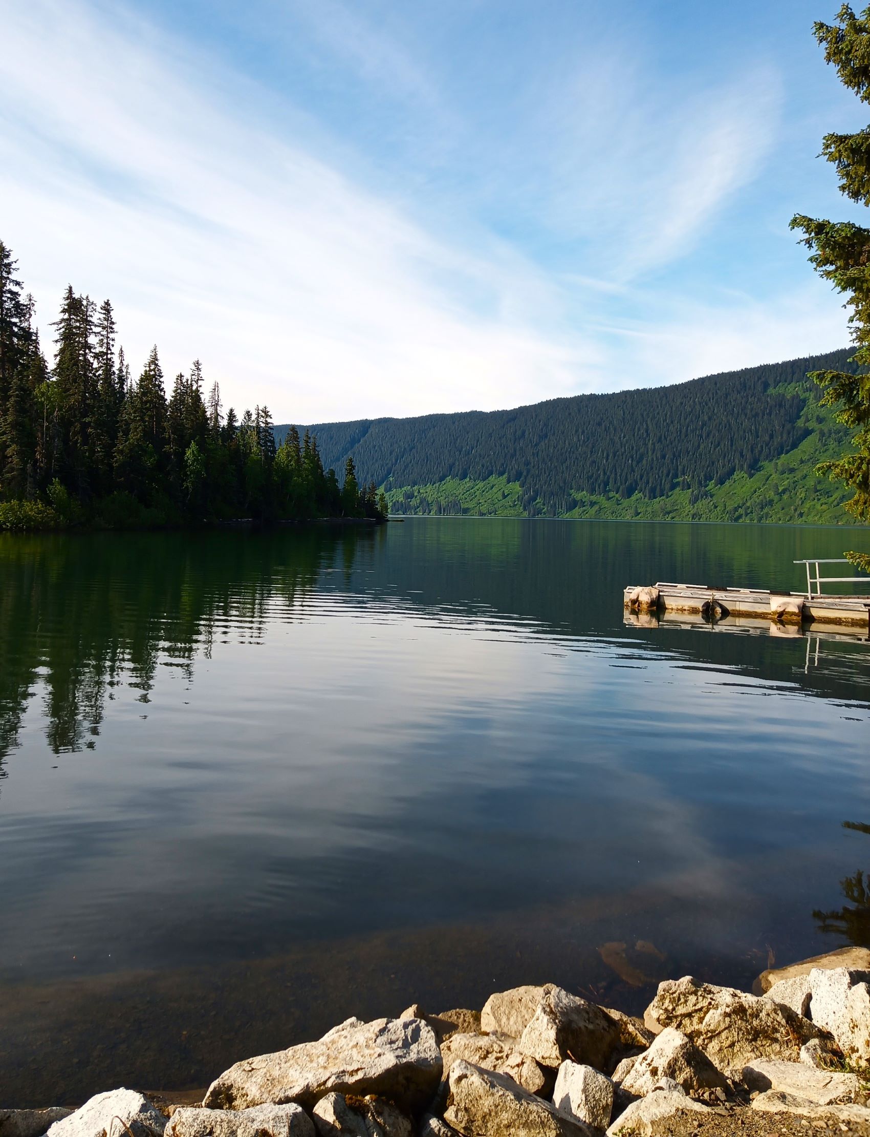
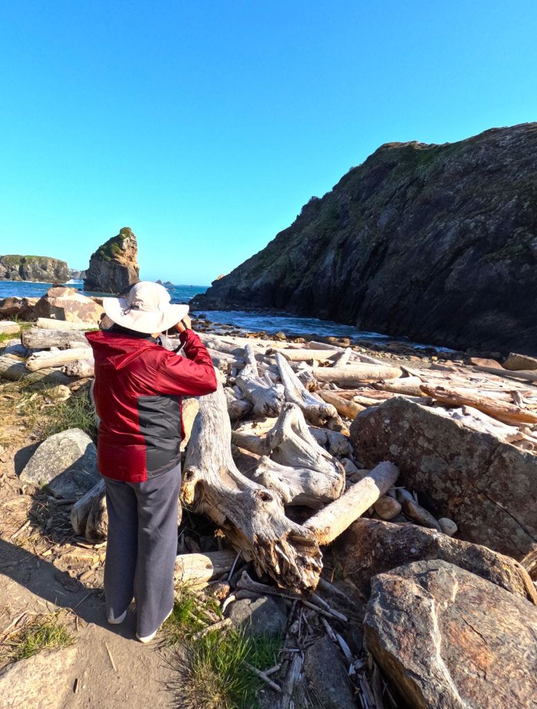
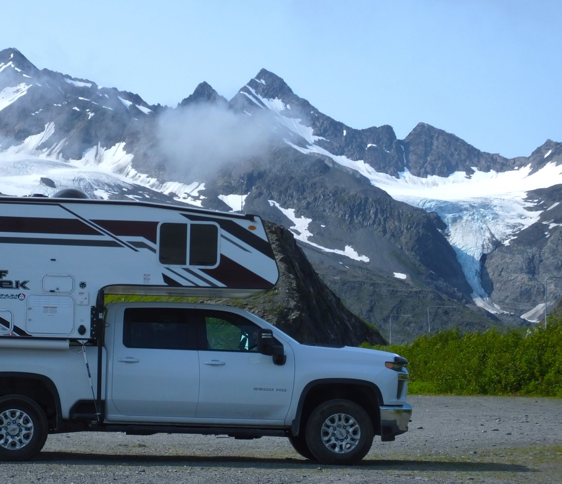
The highway crosses 2678-foot Thompson Pass as it descends to Valdez. We camped at Blueberry Lake, a small campground near the pass surrounded by the rugged Chugach Mountains. Our hikes in the area were fruitless – there were no blueberries to be found!
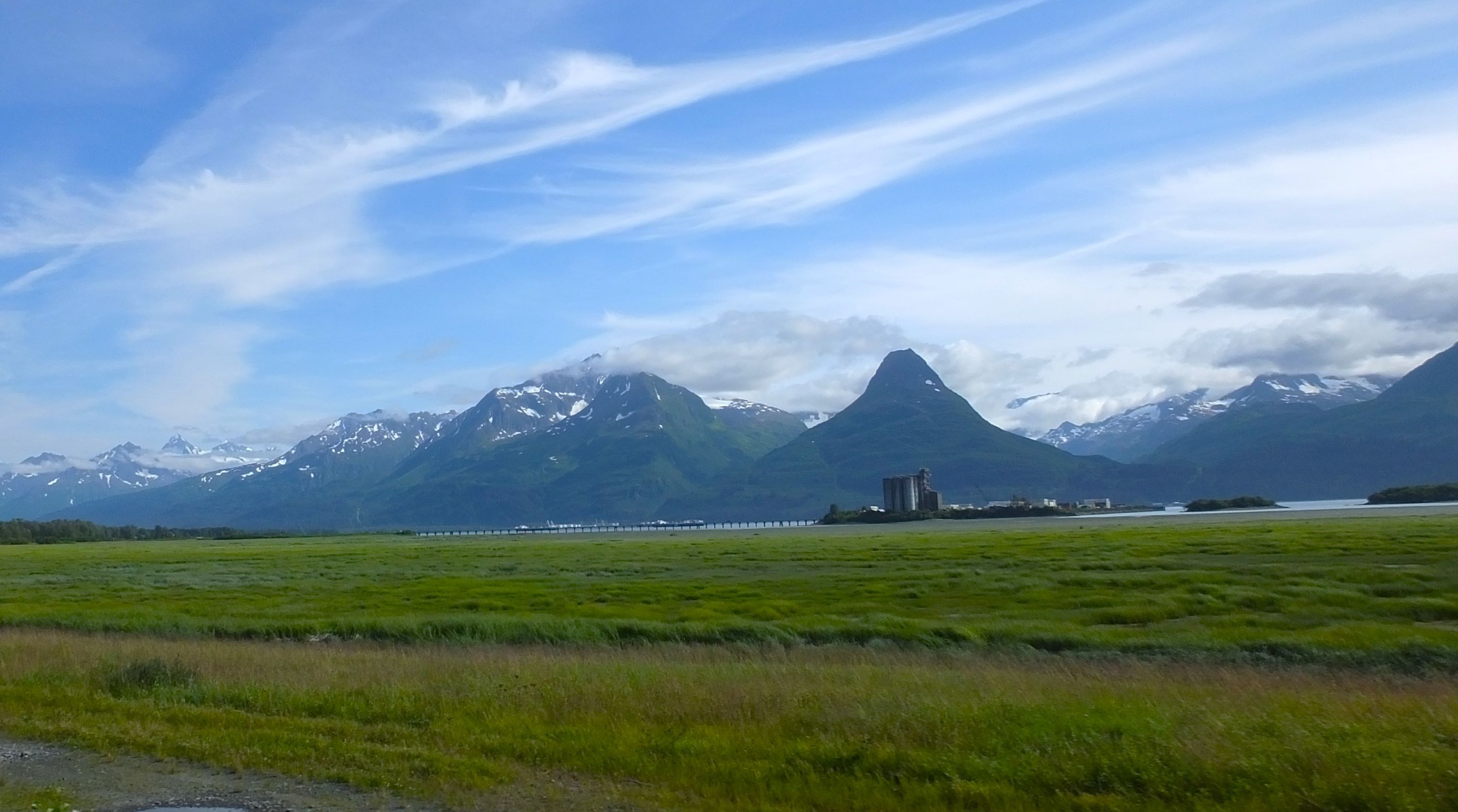
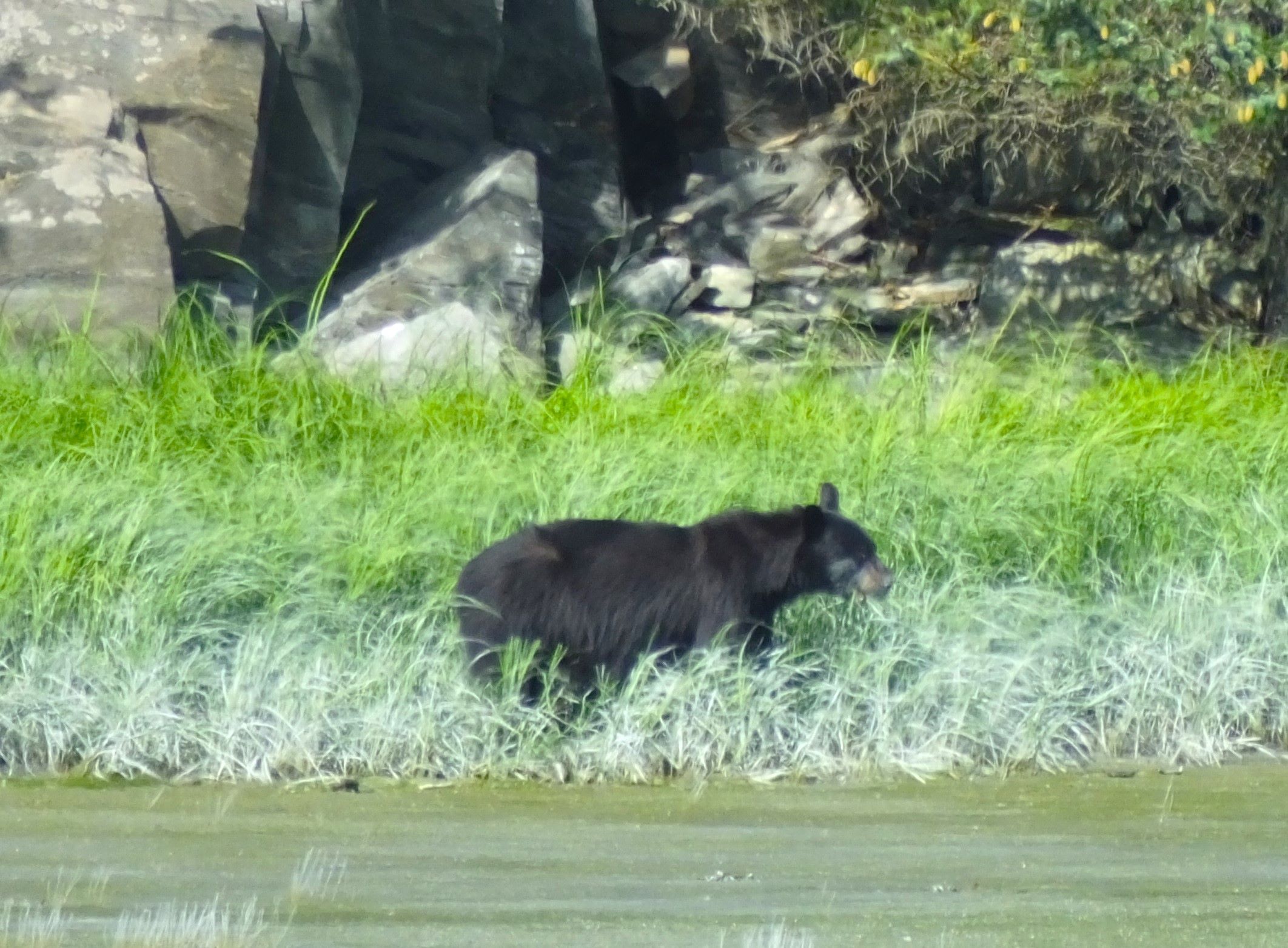
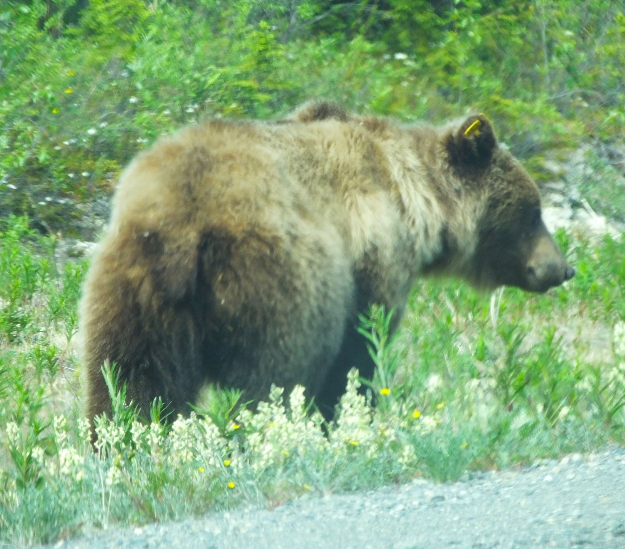
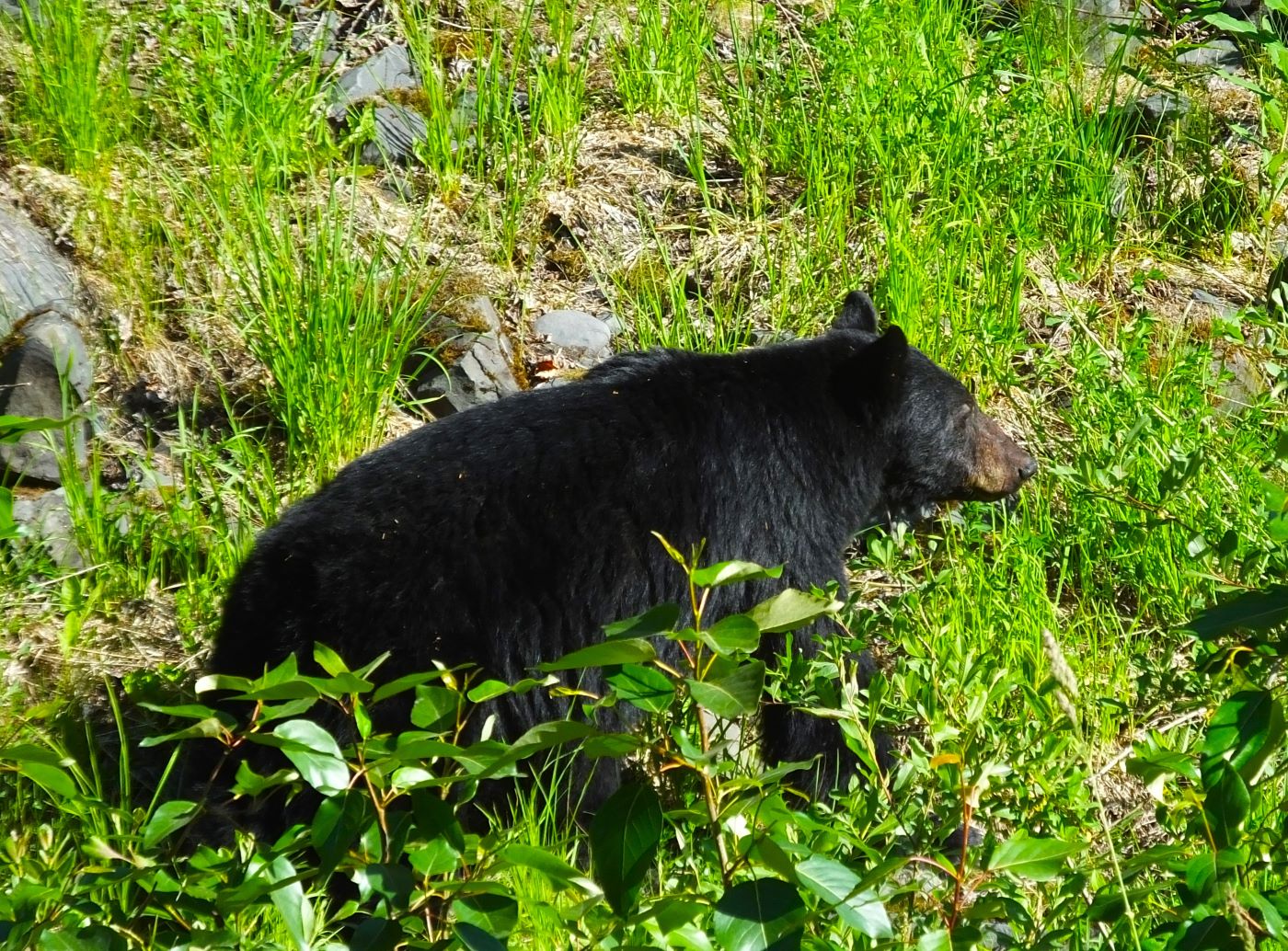
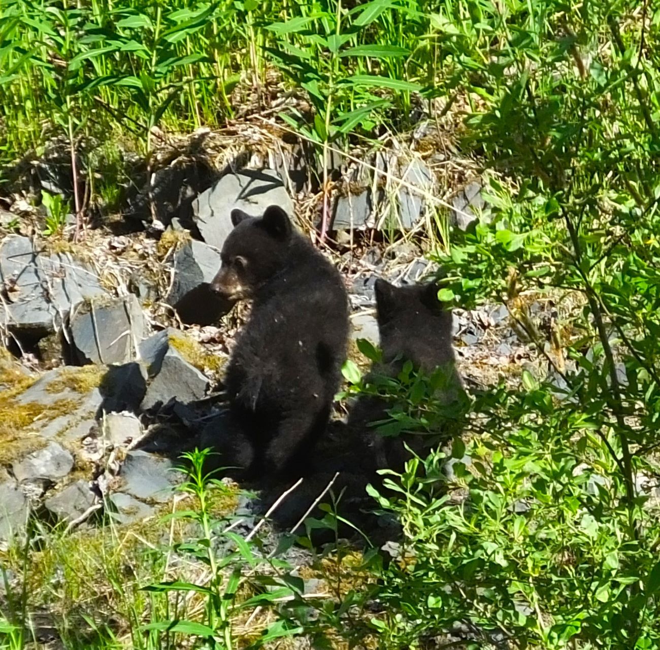
Beautiful mountains frame Valdez; a distant black bear seen during a hike
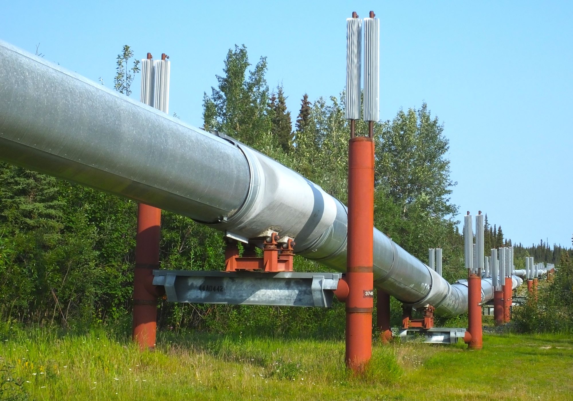
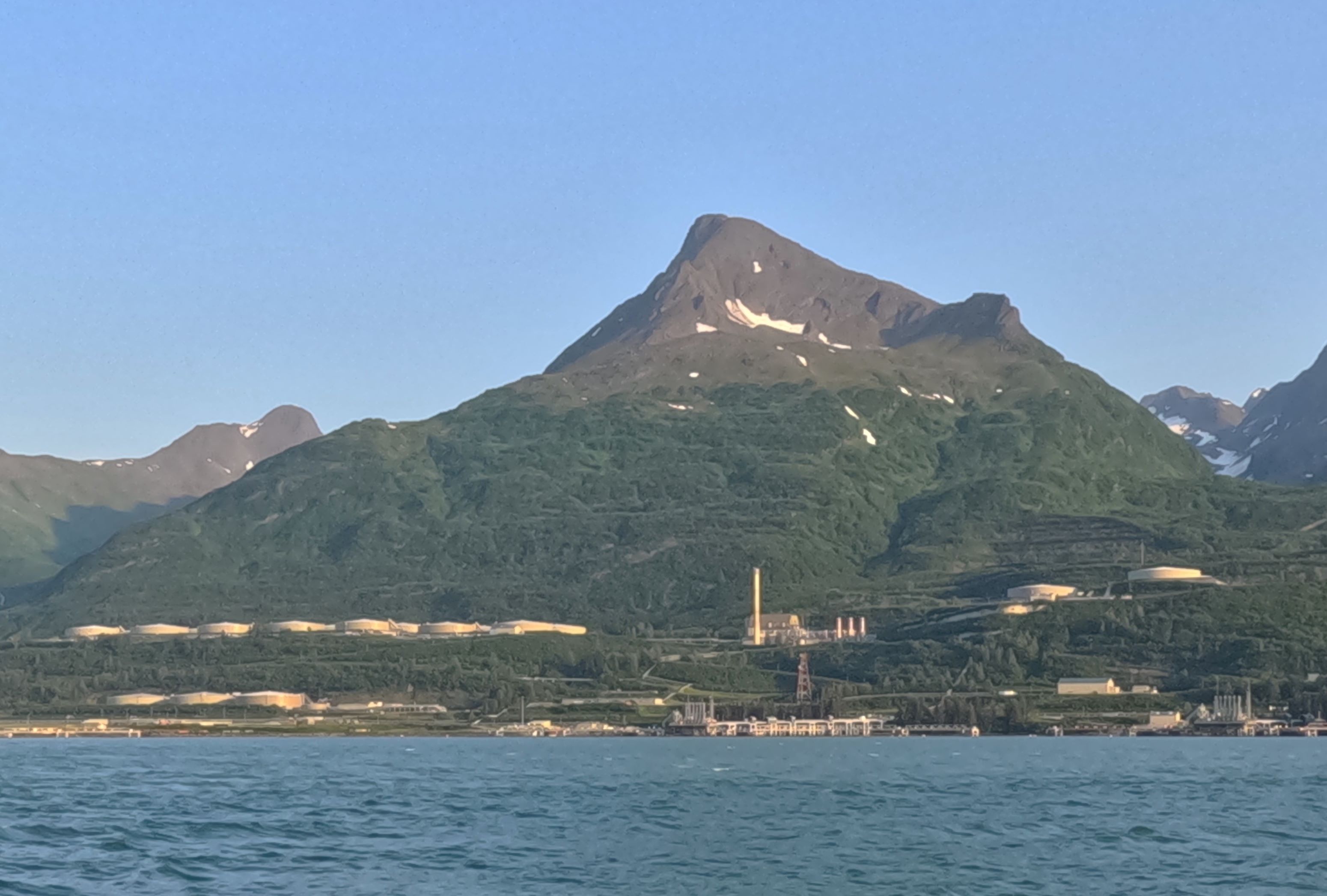
Alaska Oil pipeline and oil terminal across from Valdez
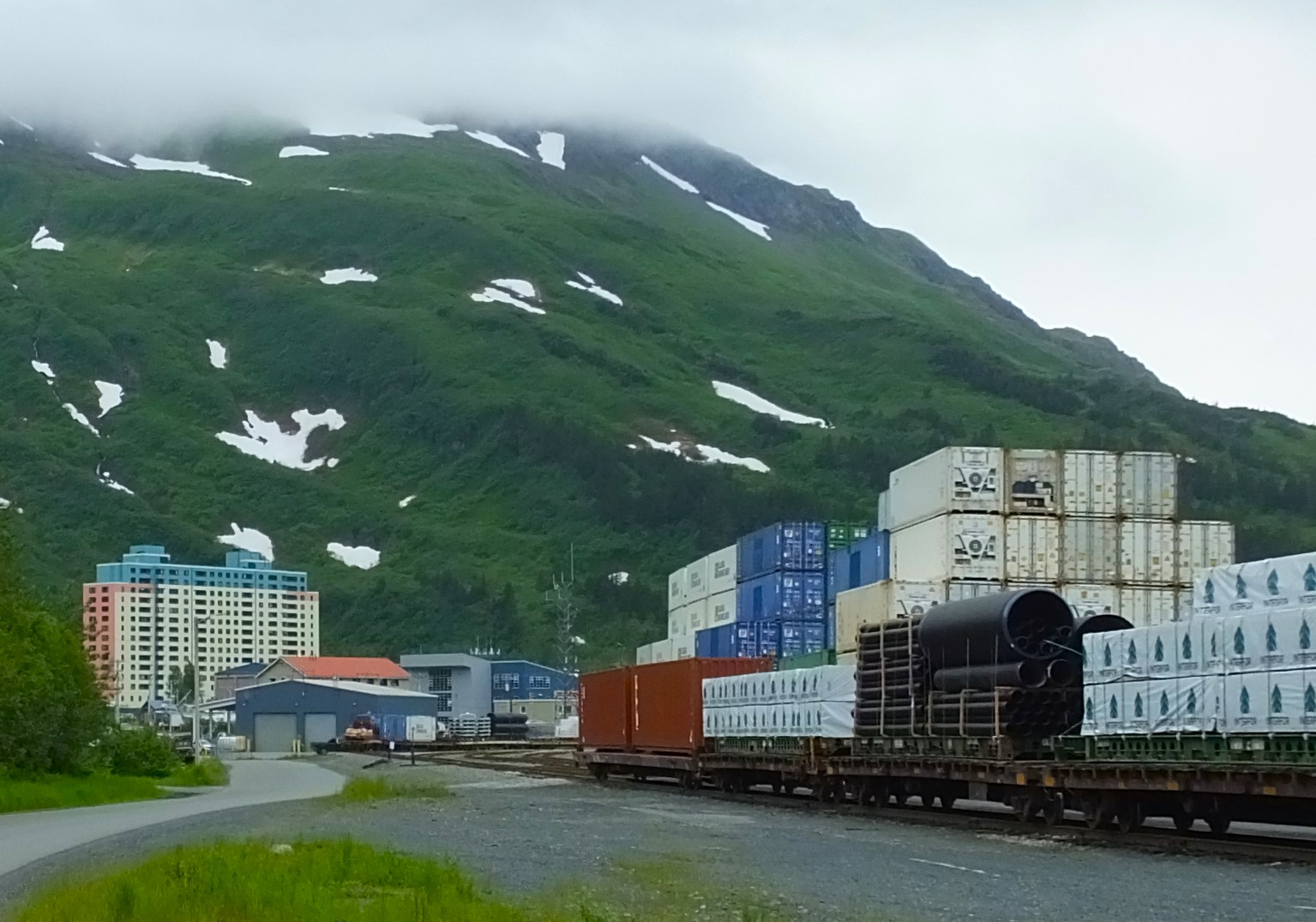
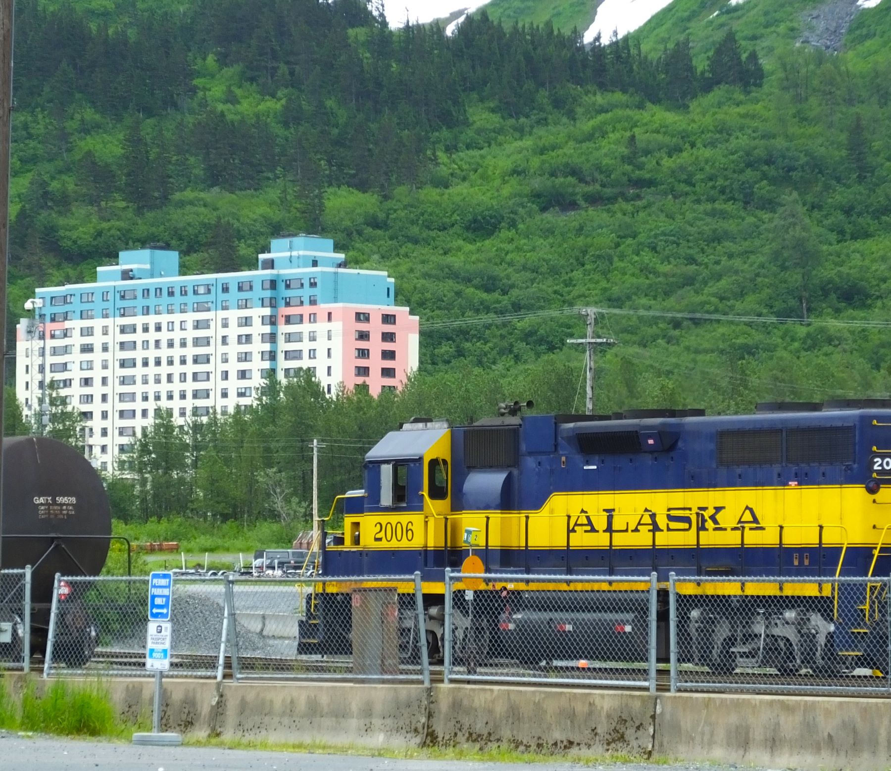
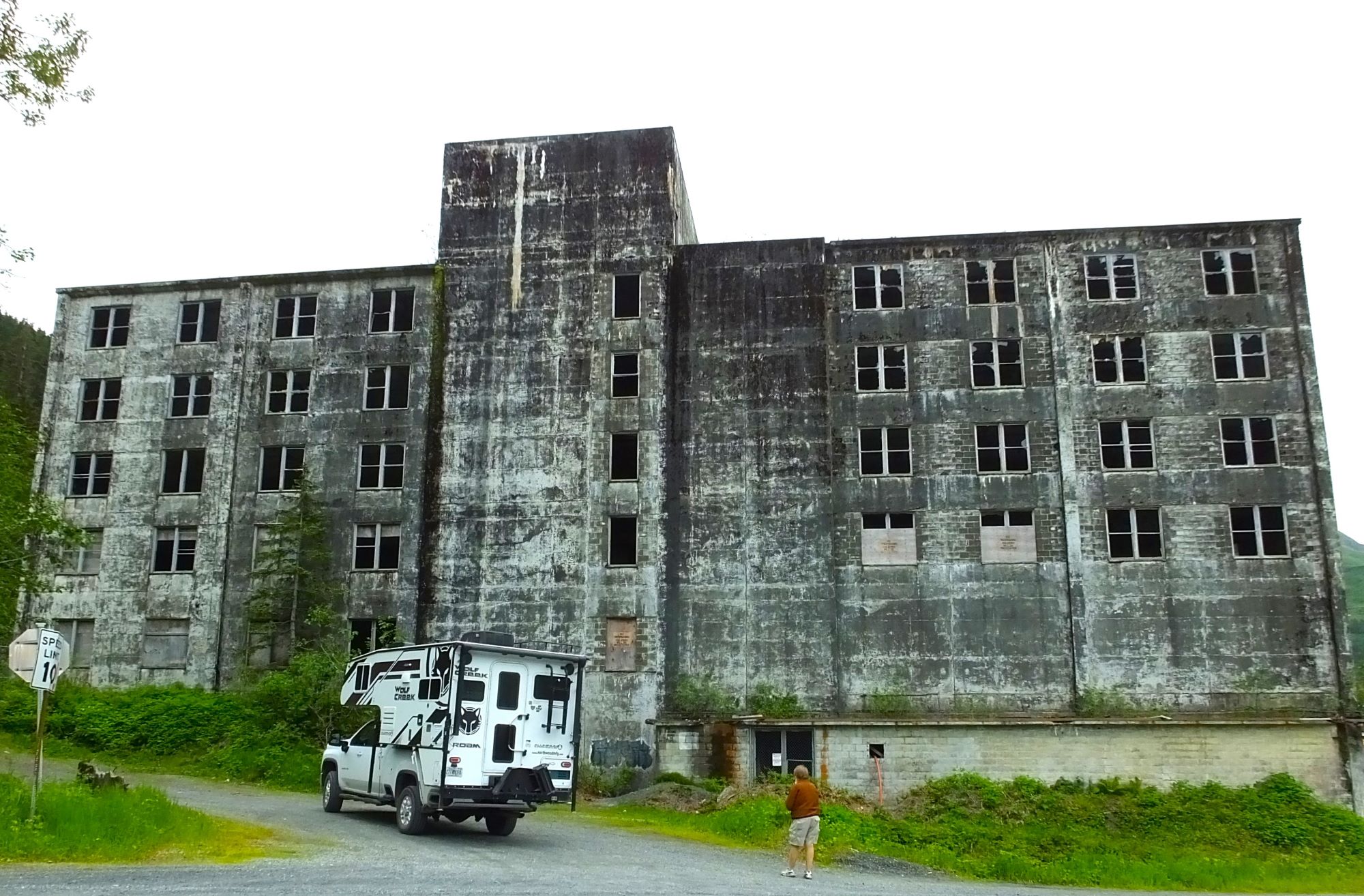
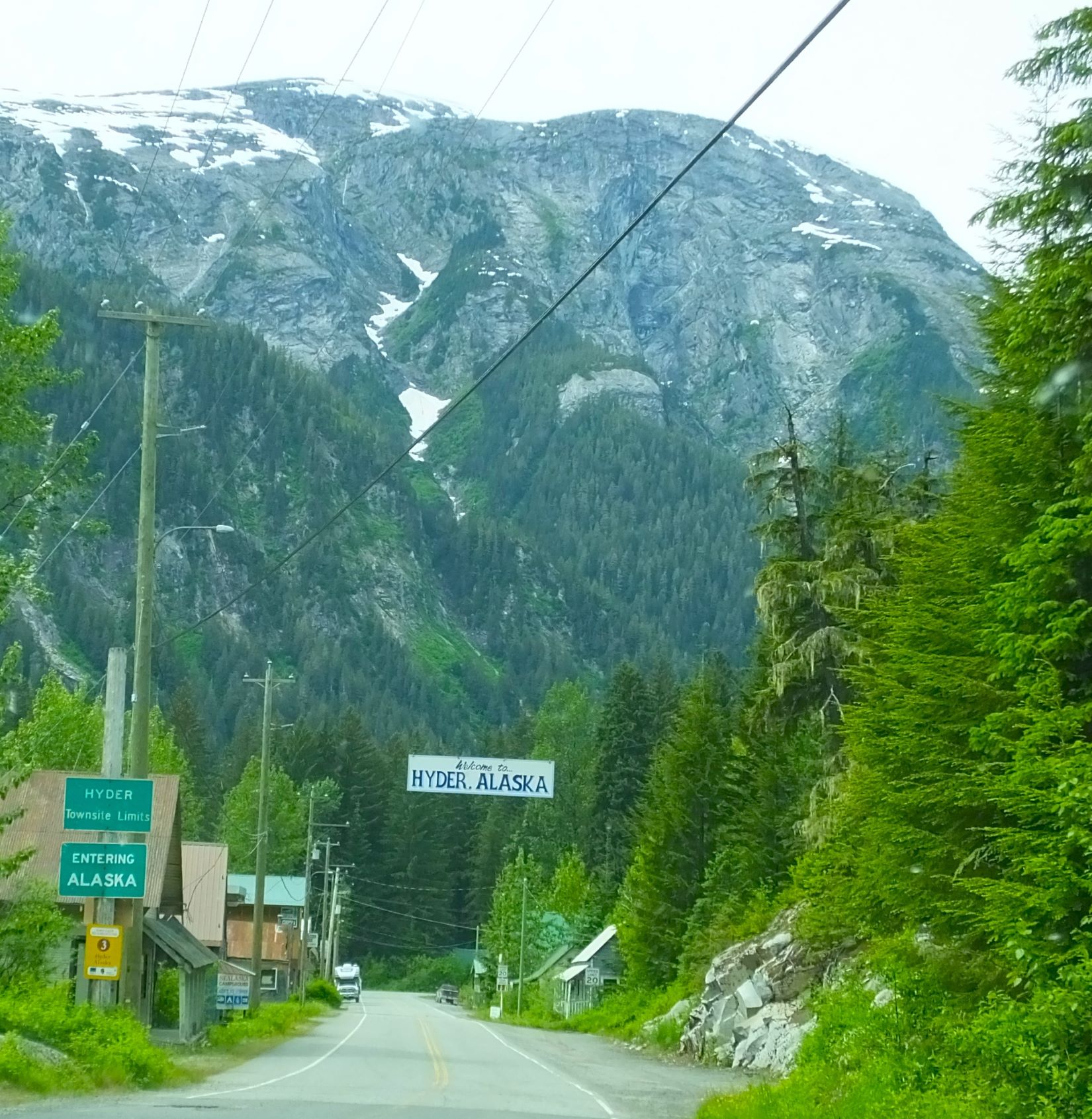
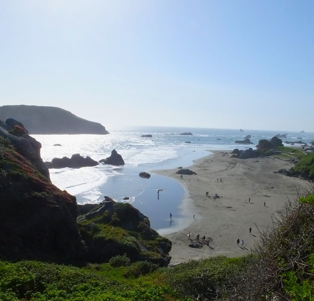
Valdez is a small town of around 2000 persons with a number of interesting distinctives: the town was moved several miles to is current location after being destroyed by the 1964 Alaska earthquake, it is near the end of the 800-mile long Trans-Alaska crude-oil pipeline, and area fishing and wildlife rival those found in Seward and Homer.
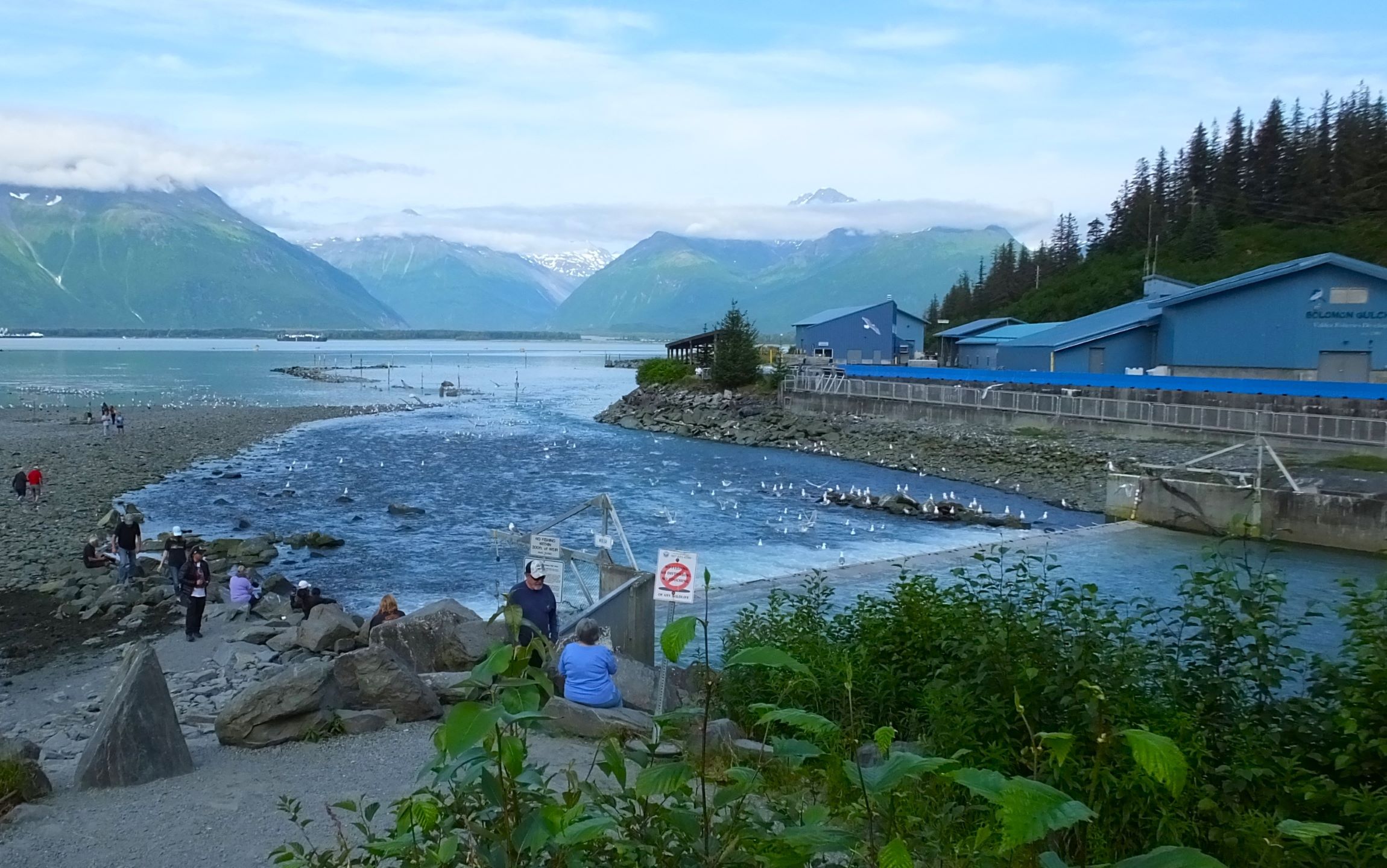

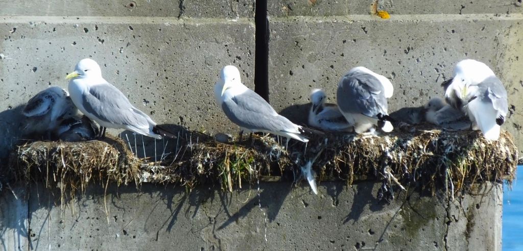
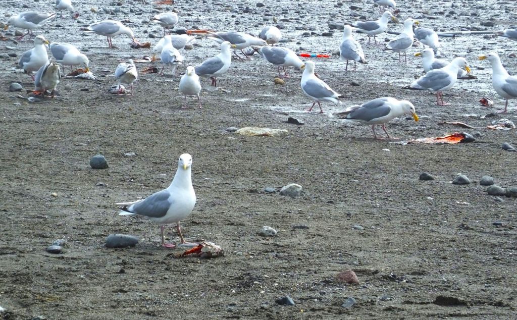
Solomon Gulch Fish Hatchery; a seagull seems to comment on a sea lion’s fresh salmon catch
Solomon Gulch Fish Hatchery
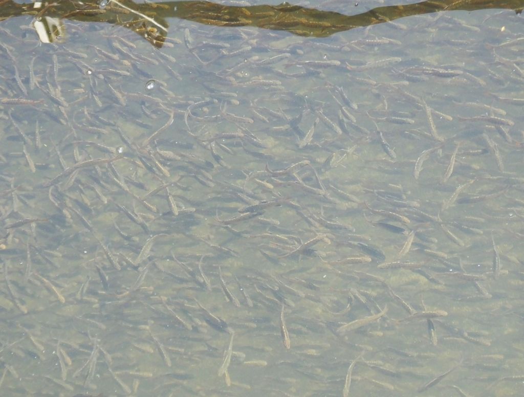
Across the bay from Valdez, we visited Solomon Gulch Fish Hatchery, the largest single-species salmon hatchery in North America, where millions of pink and Coho salmon are incubated and released each year. As the salmon return each July and August, some swim up a fish ladder to renew the incubation cycle. Many more are feasted upon by sea lions, seals and bears.
We watched as several rotund sea lions near the fish ladder dipped their heads underwater and pulled up wriggling salmon. Nearby, seagulls picked up fish pieces from the beach. Only the bears were absent.
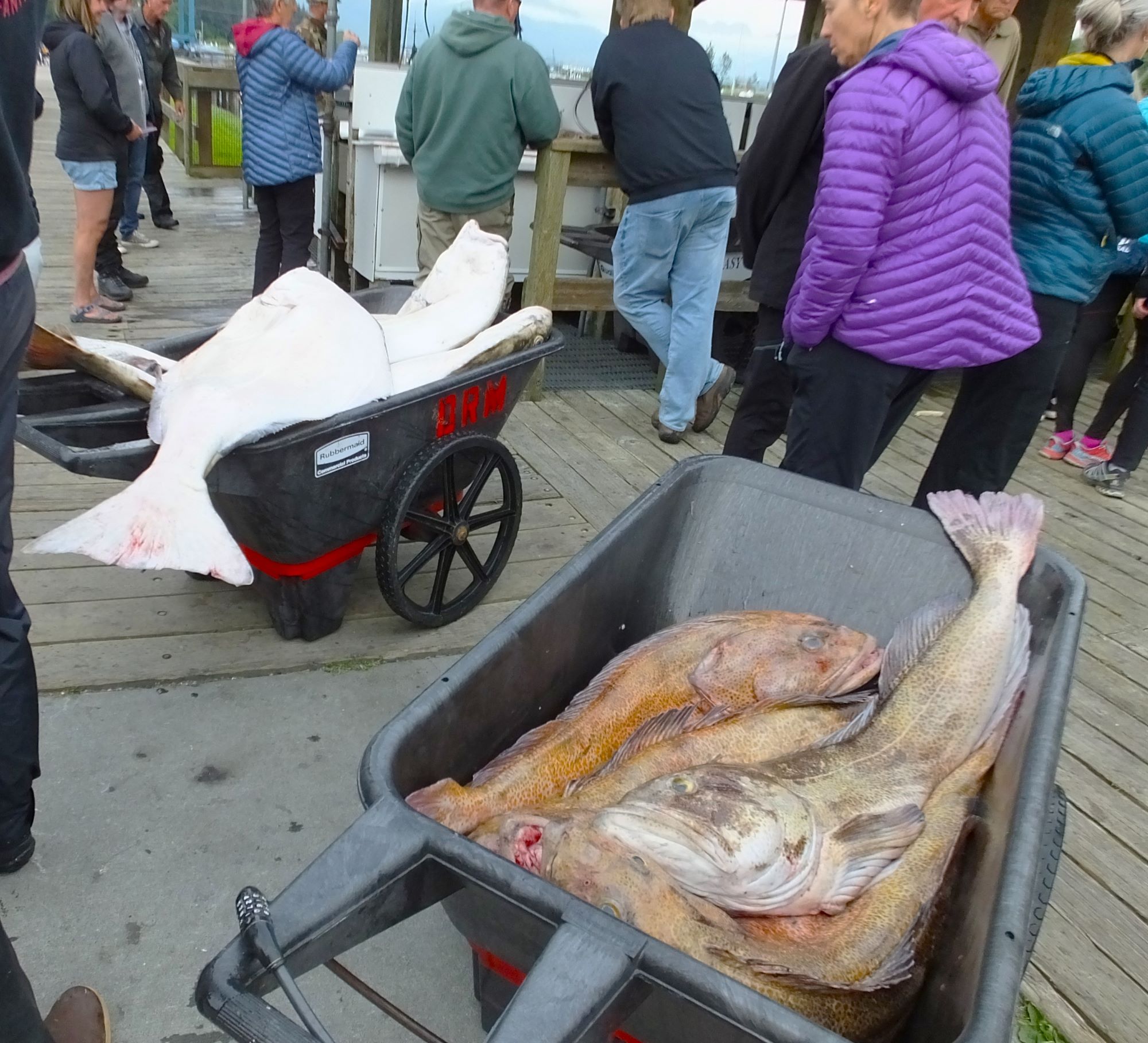
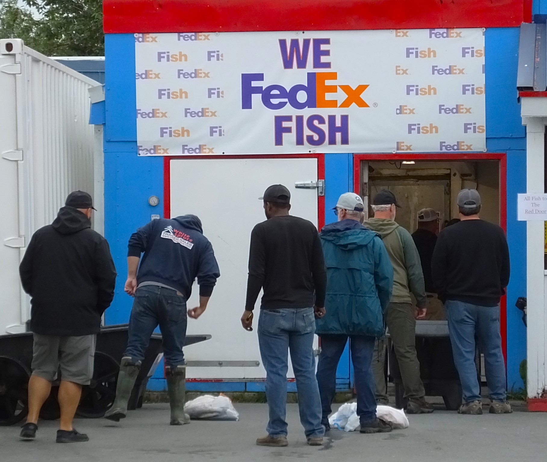
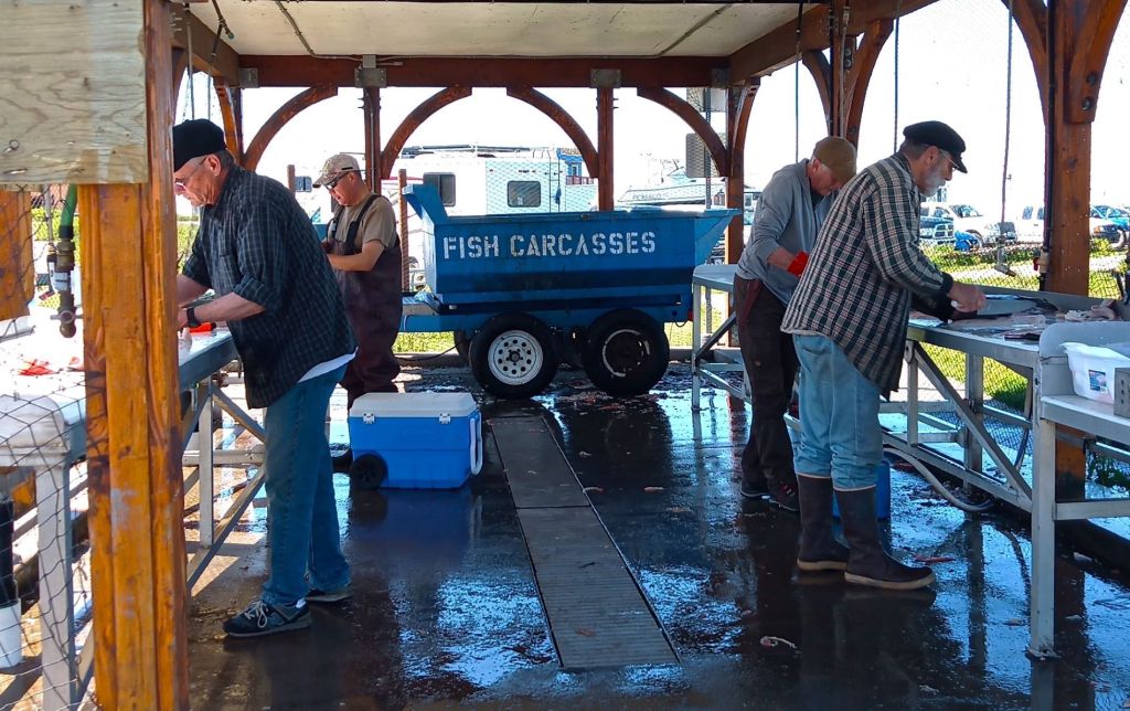
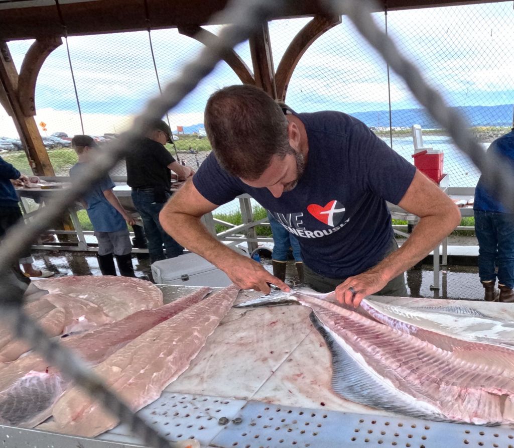
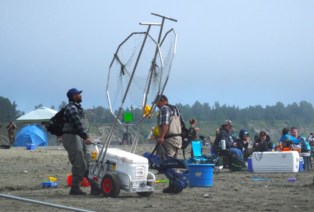
Carts with halibut and rock fish at the Valdez Marina; FedEx will even ship fish (hopefully on time)!
One evening we walked to the Valdez marina where we saw a large crowd watching fisherman wheel carts full of halibut, salmon and other fish to metal tables, where they were cleaned and filleted. It is amazing how many large fish were part of the day’s catch.
A Day on the Lu-Lu Belle
In 2018 we enjoyed a wildlife and glacier cruise in Seward with our son, Phil. Several people told us about a similar, not-to-be-missed cruise in Valdez on the Lu-Lu Belle.
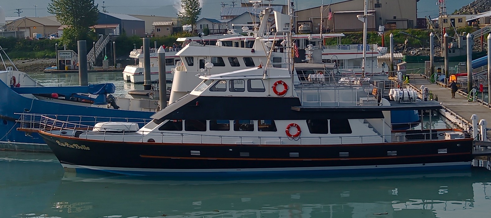
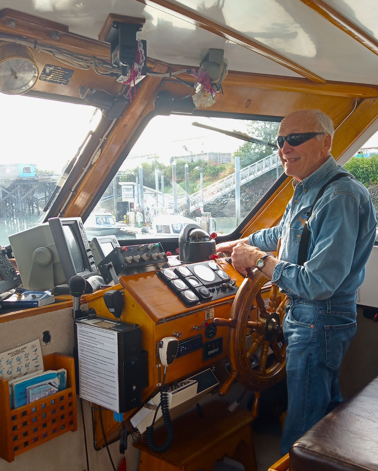
The Lu-Lu Belle; Captain Fred at the helm
Captain Fred Rodolf and his crew greeted us as we boarded the boat on a sunny, pleasant Sunday morning. It was actually our second time on the Lu-Lu Belle – we attended a Chapel of the Sea church service on the boat earlier that day.
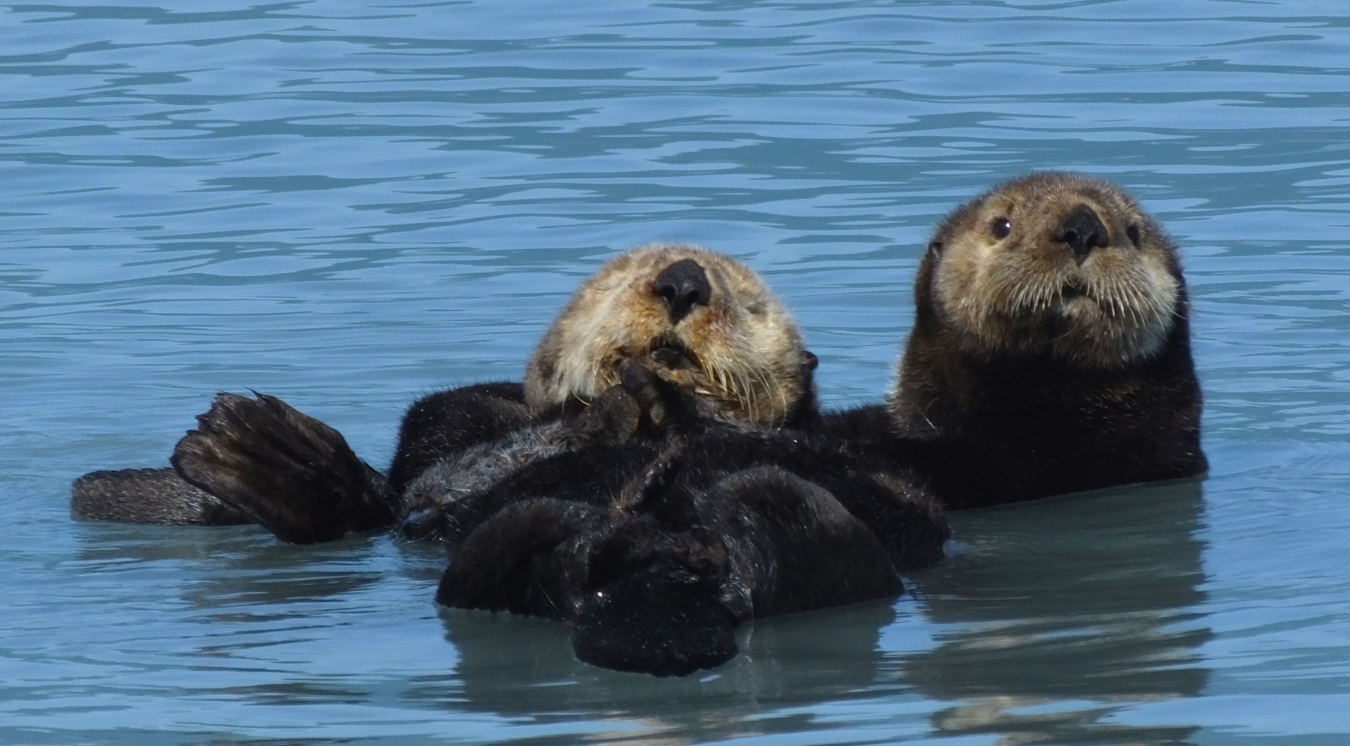
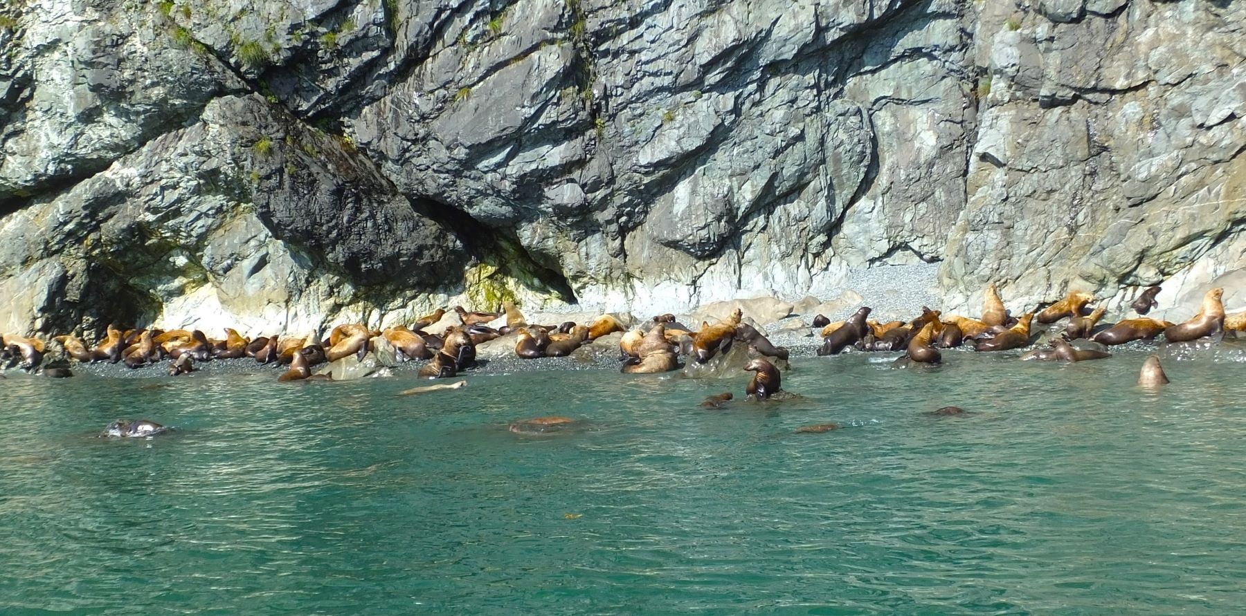
We saw otters in Valdez Bay – a sign of a healthy environment; beached seal lions a few miles away were active and noisy!
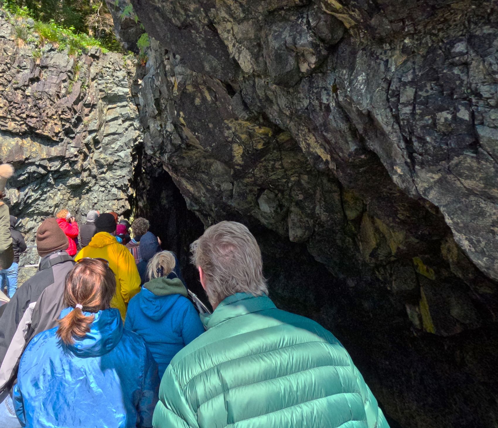
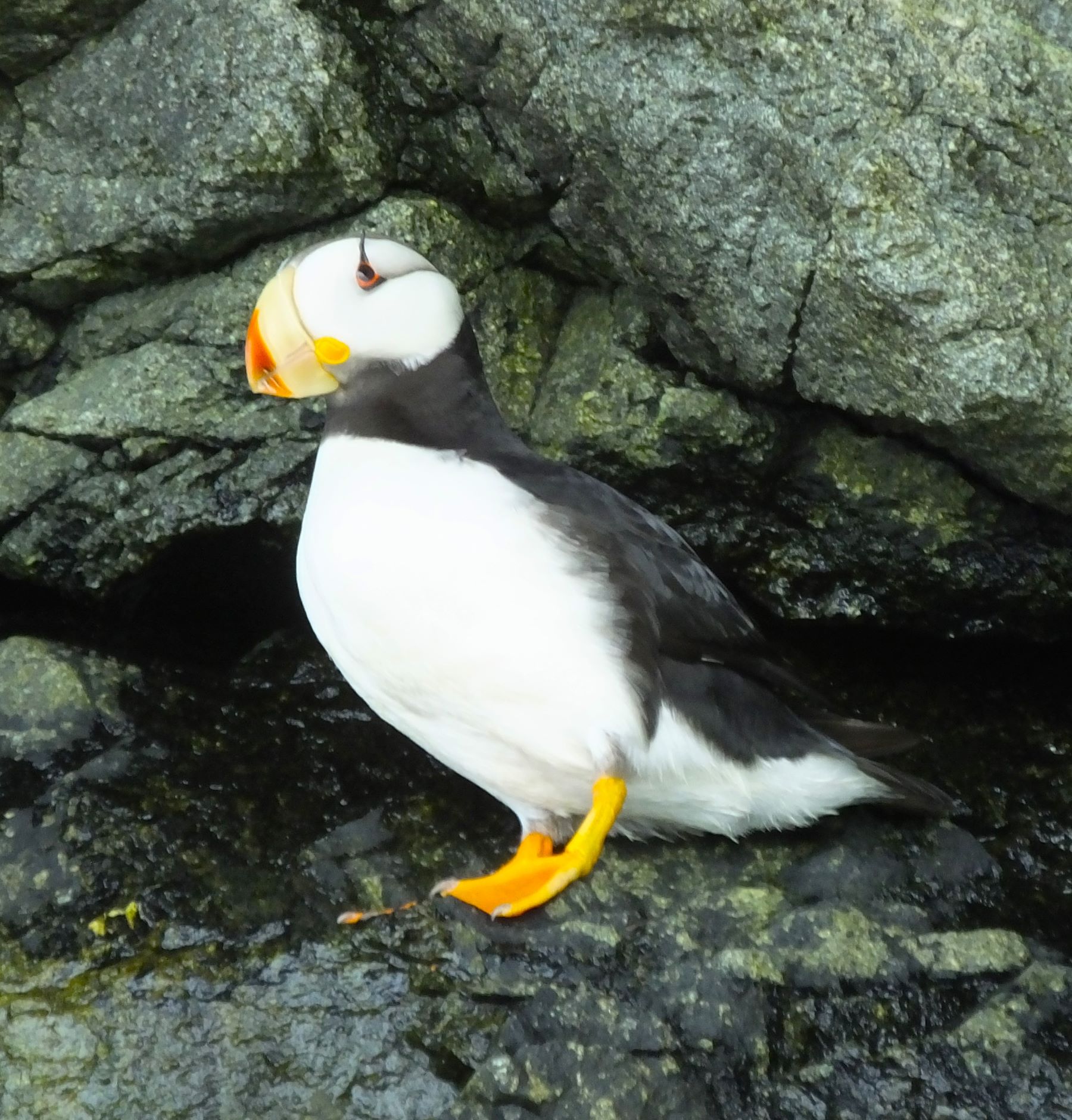
Captain Fred piloted the nose of the Lu-Lu Belle into rocky alcoves in search of nesting puffins
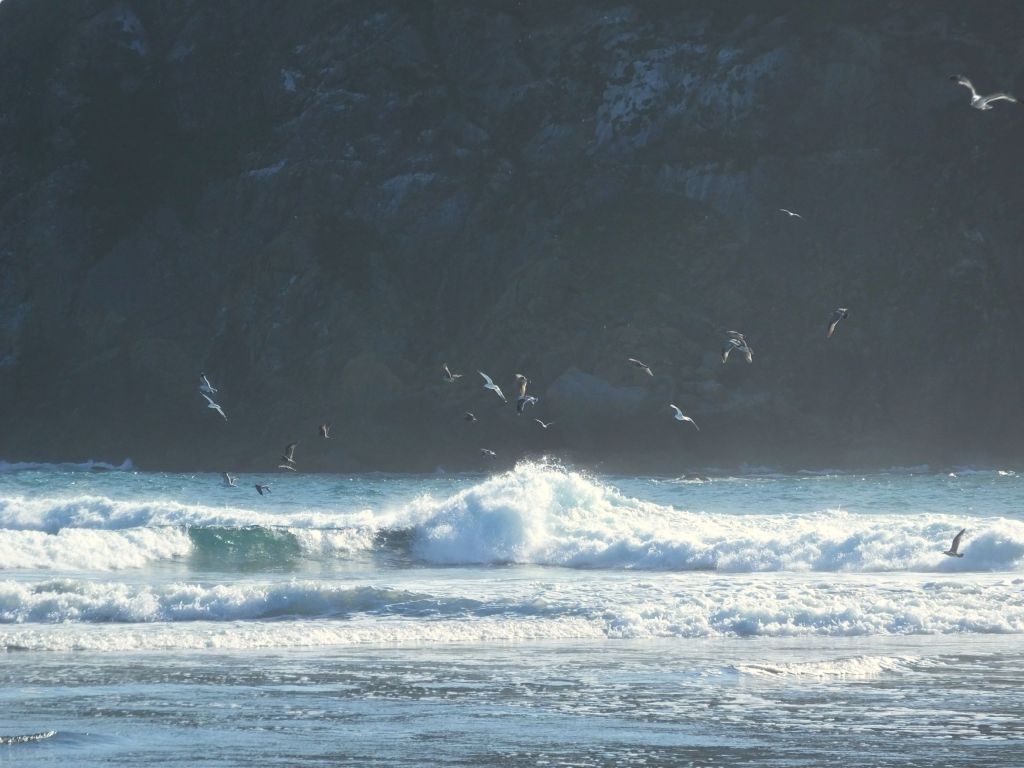
We were soon underway on the nearly 10-hour cruise. Captain Fred provided continuous commentary as he guided the boat past seals, fishing boats pulling in nets full of salmon, a beach crowded with hundreds of barking sea lions, and several narrow cliff alcoves with nesting puffins. We later followed a pair of orcas for nearly an hour as they surfaced, flipped their tails and even dove under the boat.
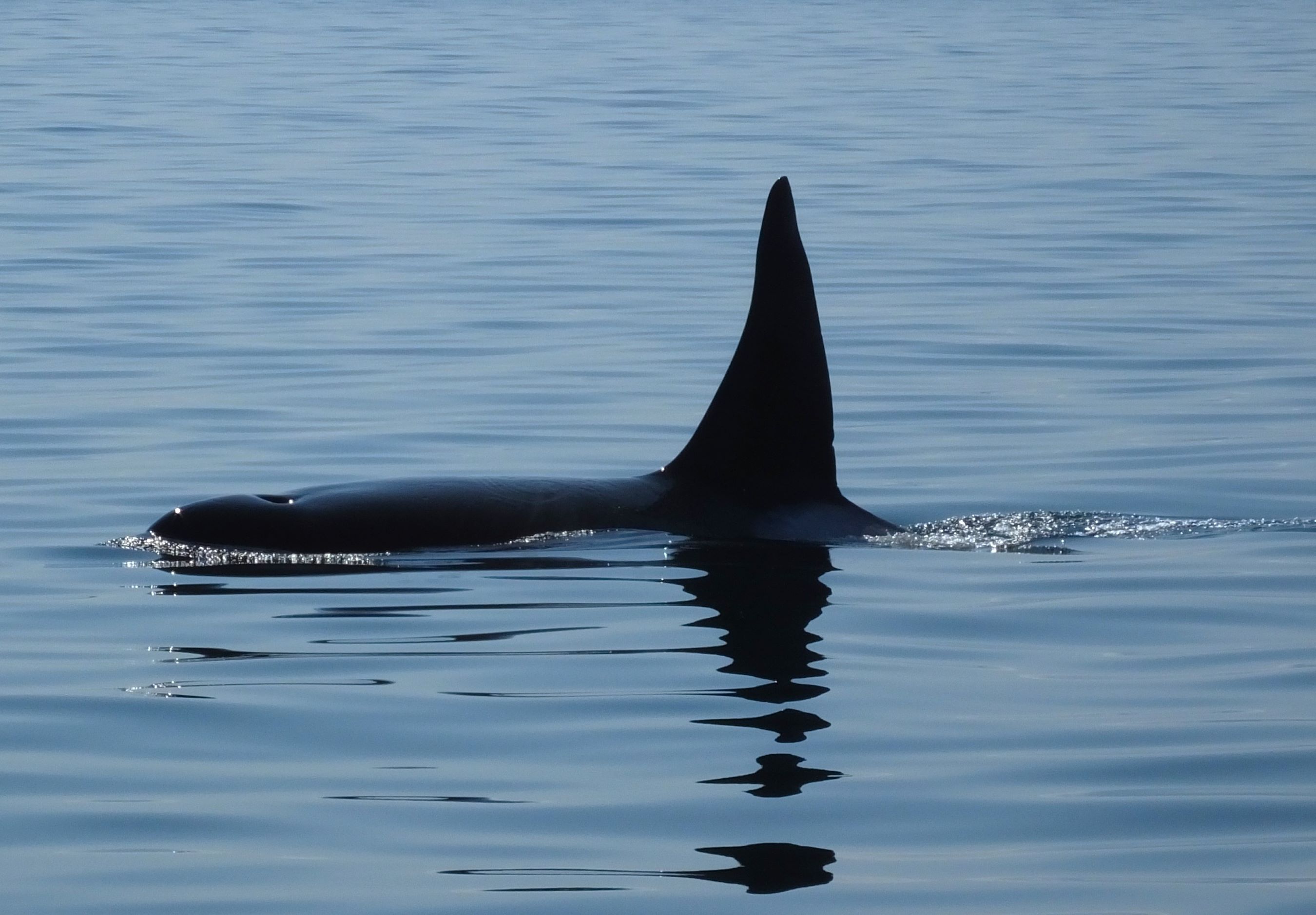
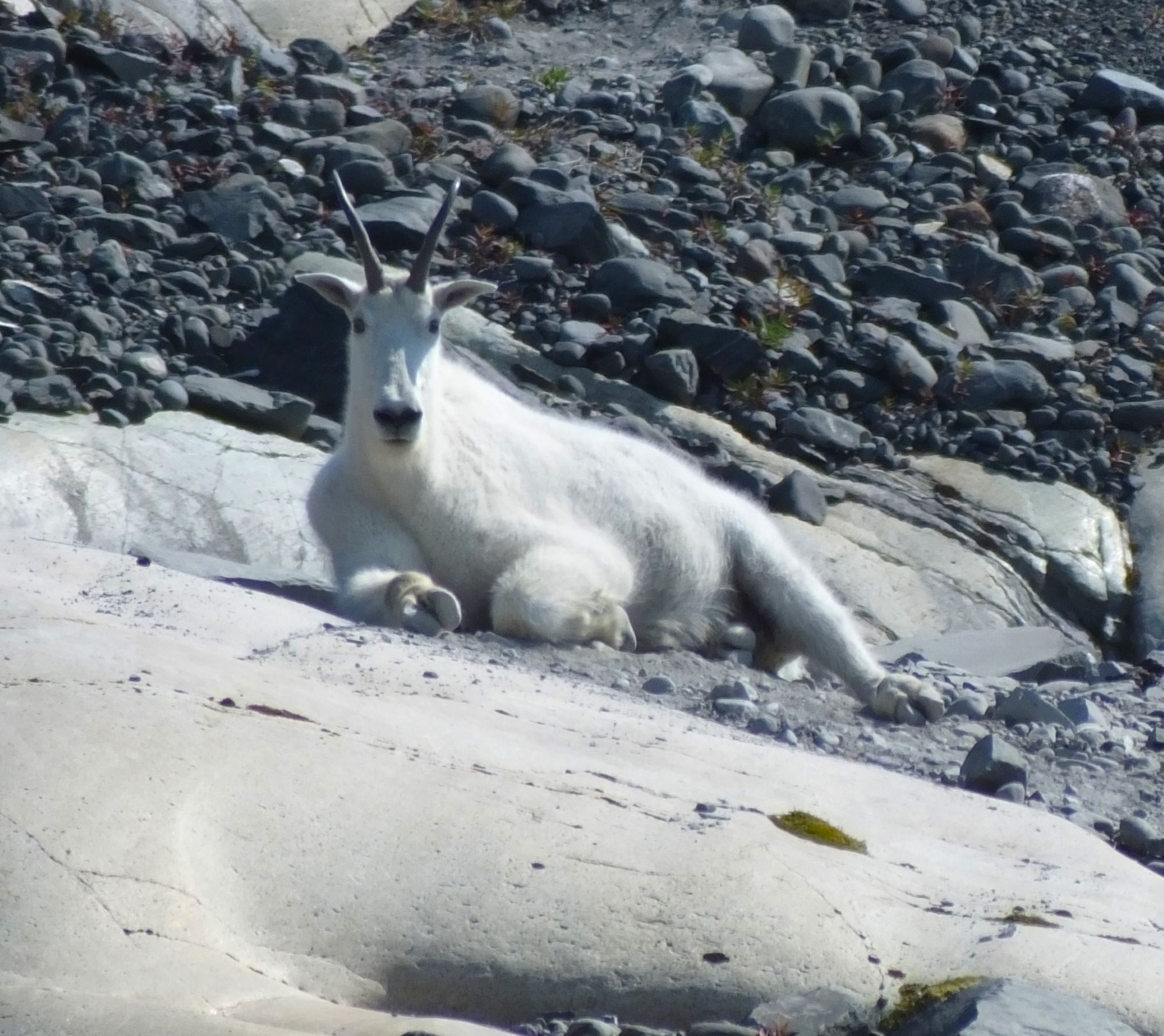
An Orca whale surfaces as we followed for more than an hour; mountain goat seen near Columbia Glacier
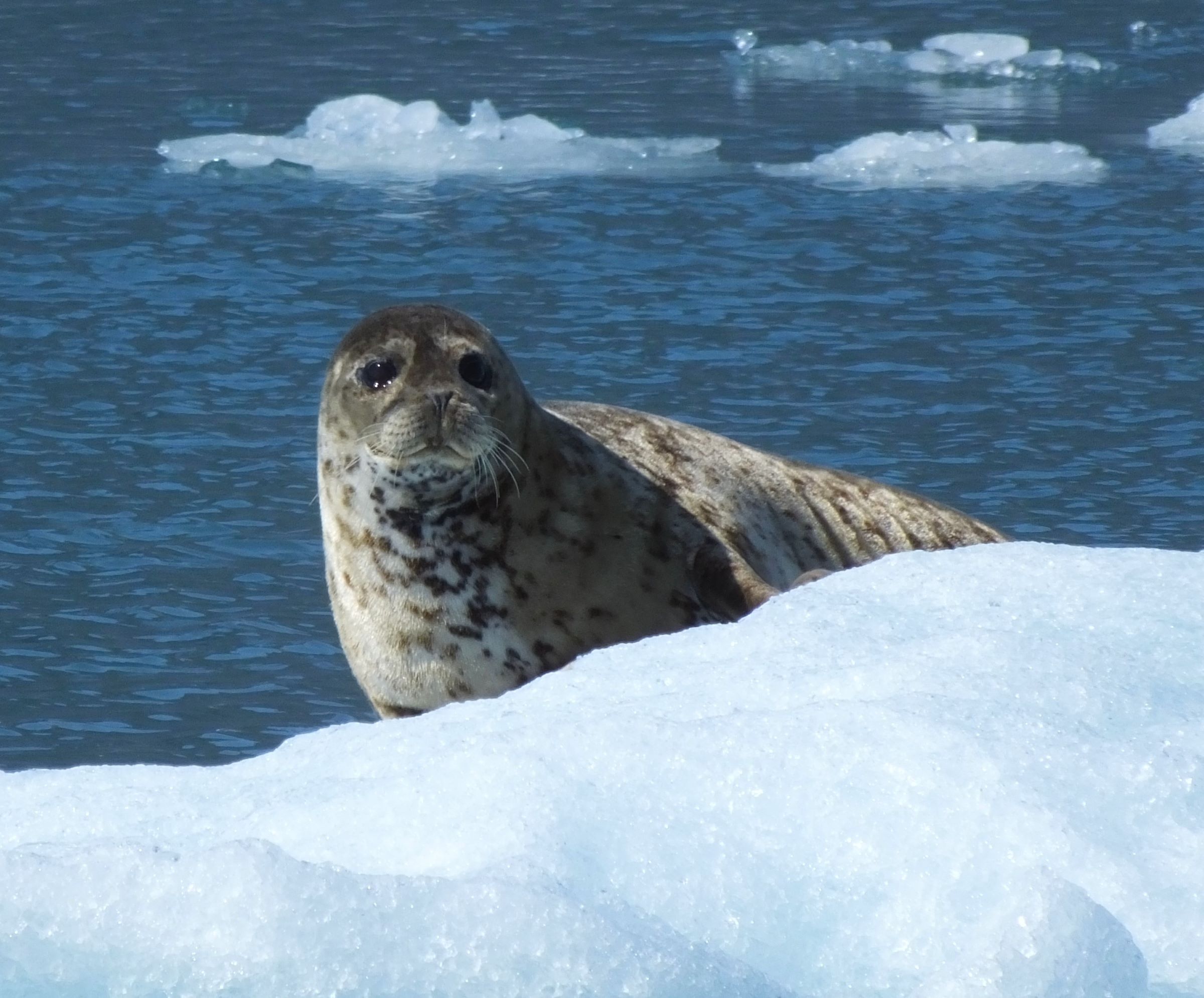
The cold didn’t seem to bother harbor seals that were riding on floating ice chunks near the glacier
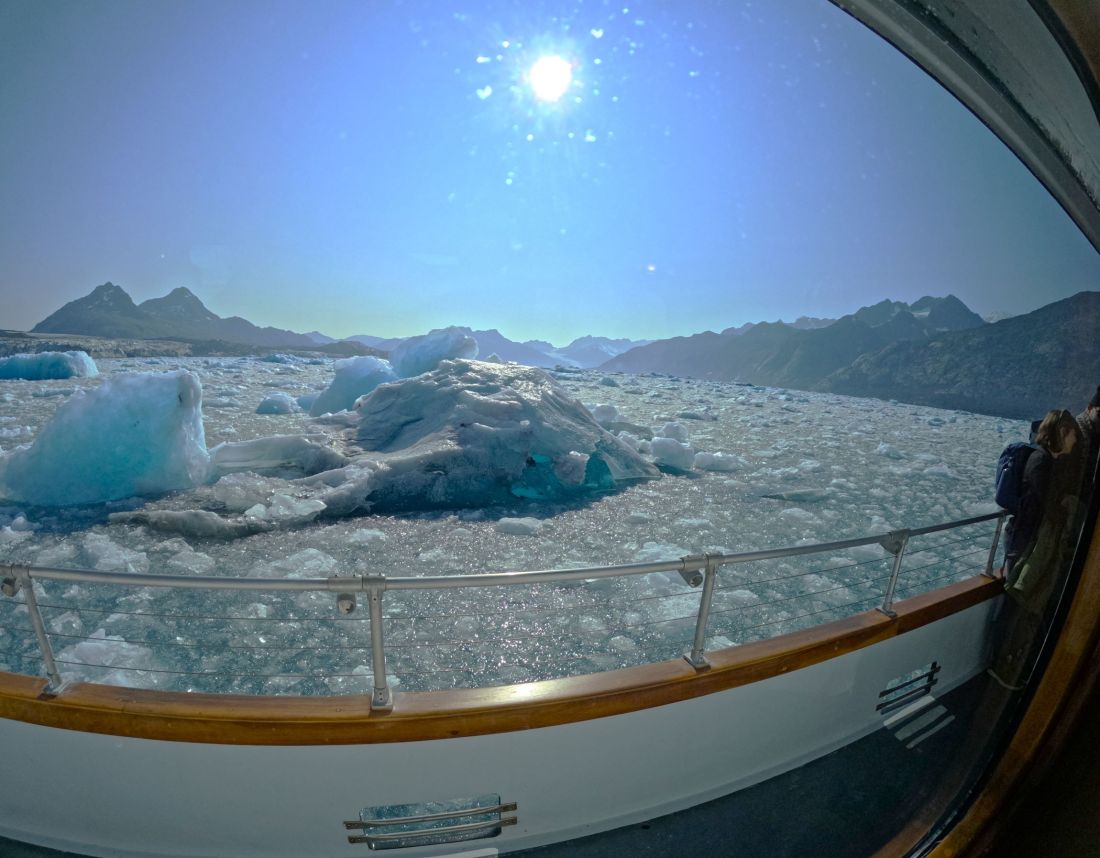
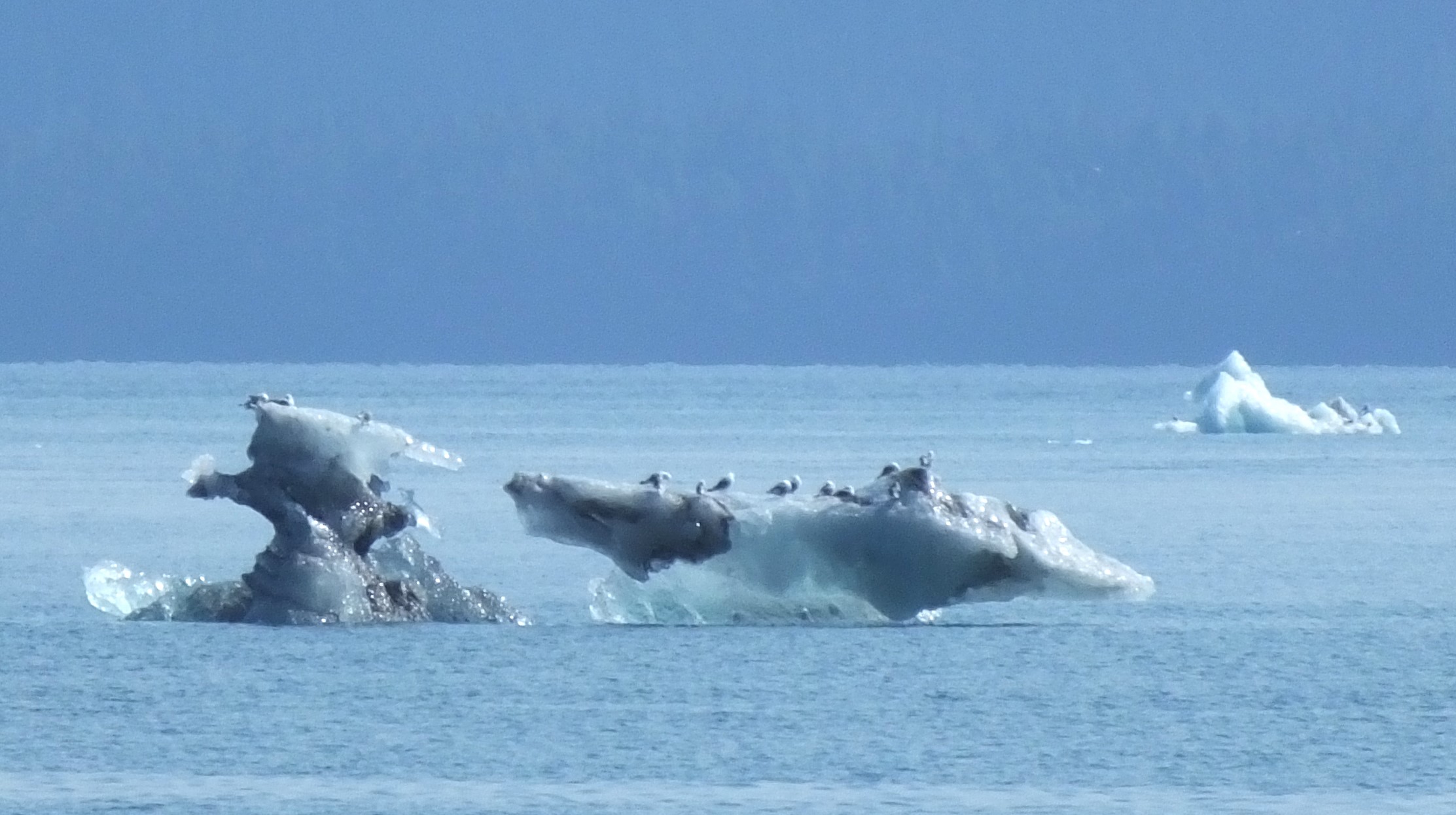
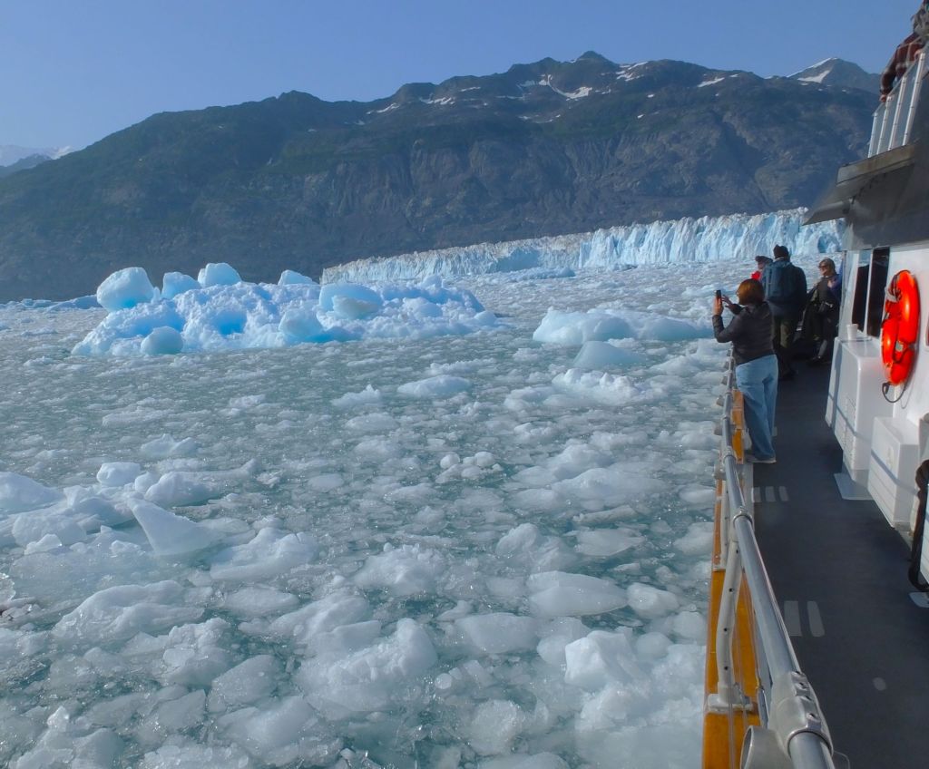
That afternoon Captain Fred piloted the Lu-Lu Belle to Columbia Glacier, the second largest tidewater glacier in America. A few small icebergs gave way to more numerous and much larger icebergs, some bigger than a bus.
As the Lu-Lu Belle zig-zagged between the ice obstacles, the 84-year-old captain pointed out how far the glacier extended when he first started the glacier and wildlife cruises in the late 1970s. The Columbia Glacier has retreated more than ten miles up the bay in the last 45 years.
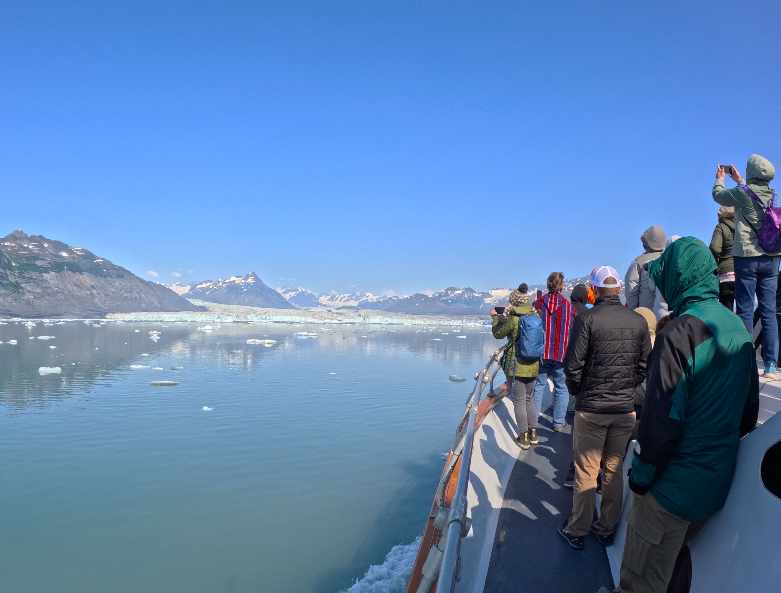
Views as we approached Columbia Glacier
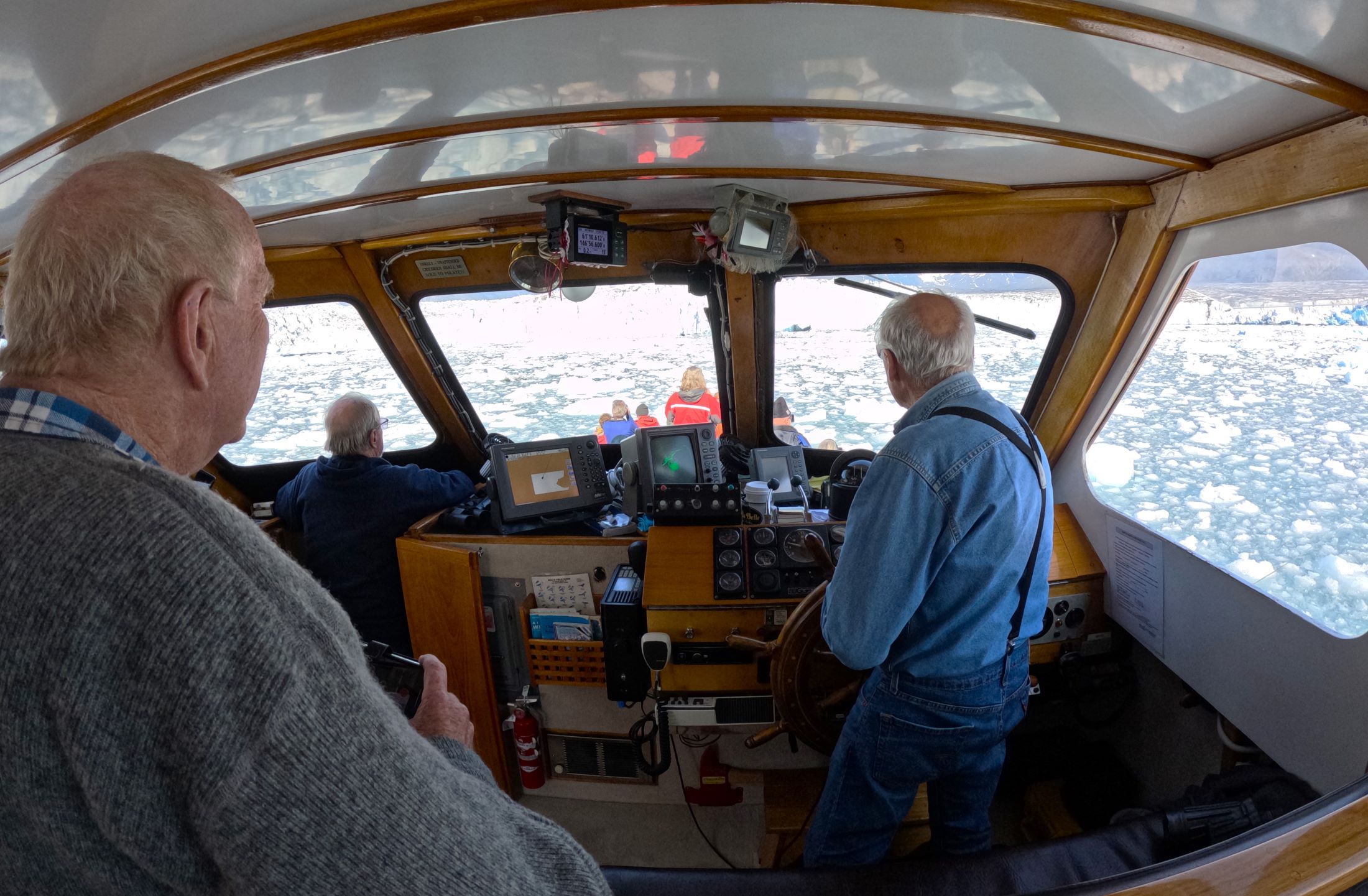
Captain Fred guides the Lu-Lu Belle through ice filled waters as we approached the glacier
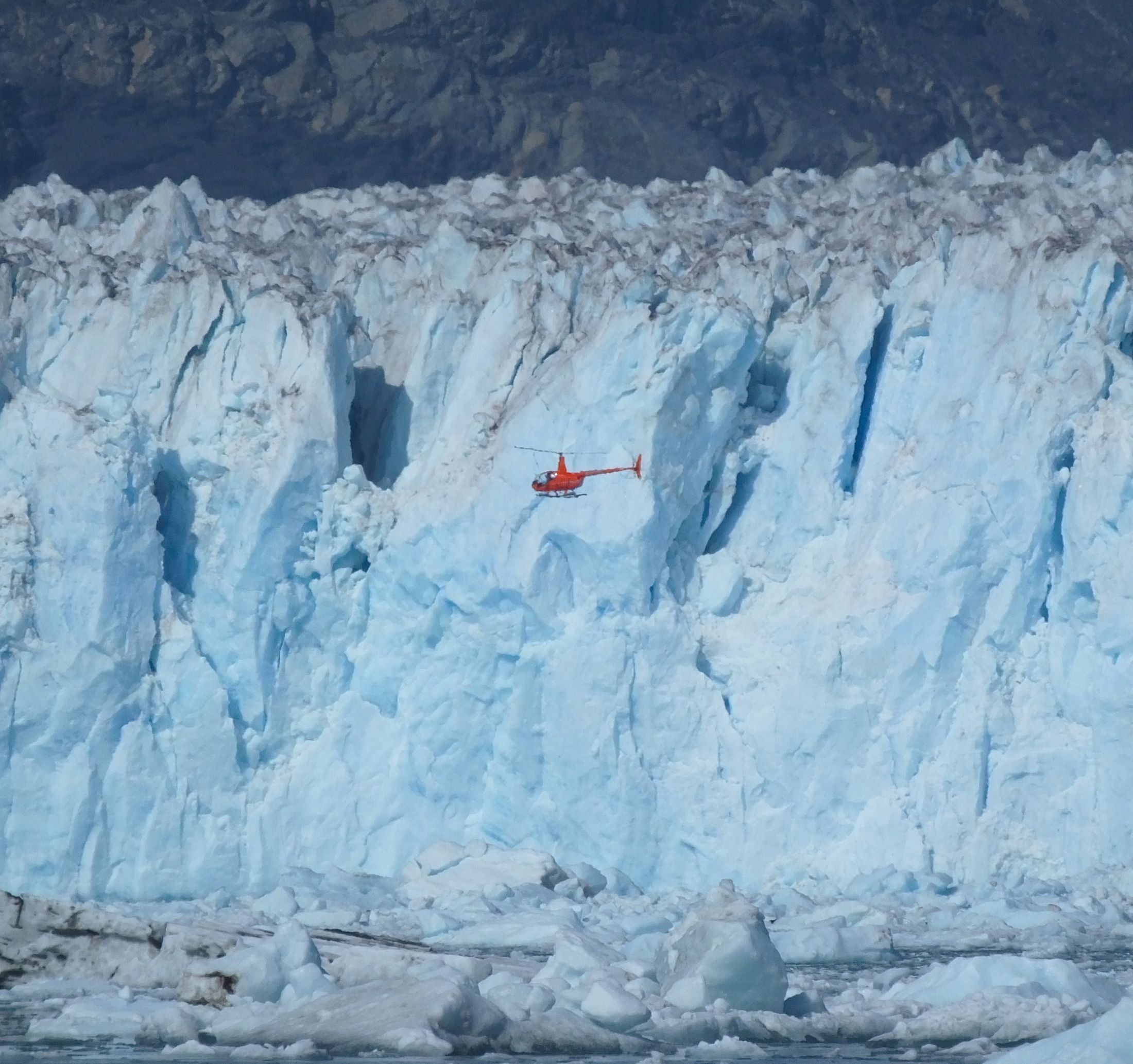
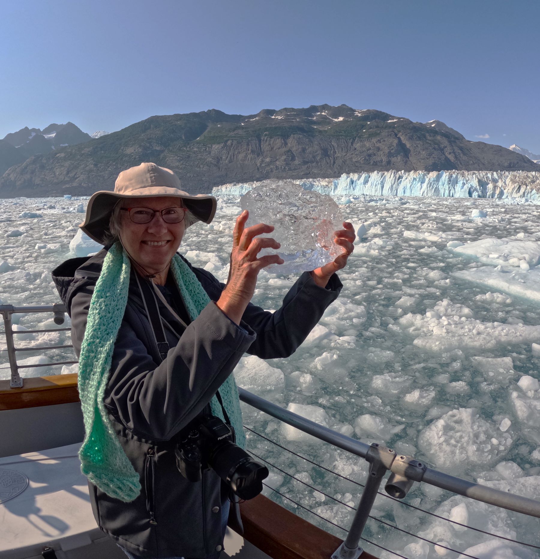
A helicopter gives scale to the glacier face; Pat with a glacier souvenir
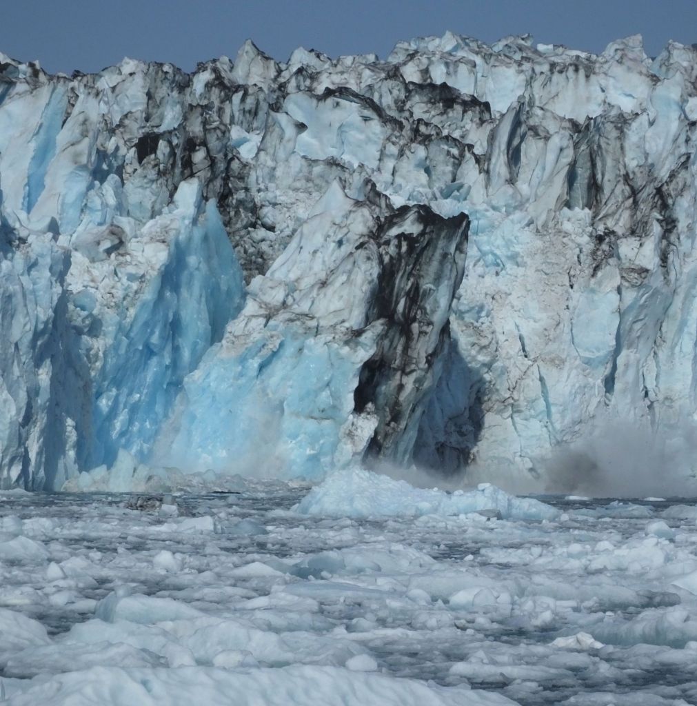
Carefully cruising near the face of the glacier
We stopped about a quarter mile from the glacier, surrounded by large and small chucks of ice. We were a Lu-Lu Belle slushie of sorts. As we watched, a huge chunk of ice calved from the face of the glacier, producing a big splash and mini tsunami.
We dozed a bit during our late evening return to Valdez, tired from the long day seeing amazing wildlife and the immense Columbia Glacier. We were thankful for the knowledge and skills of the captain and his crew.

Cinnamon Bun Review
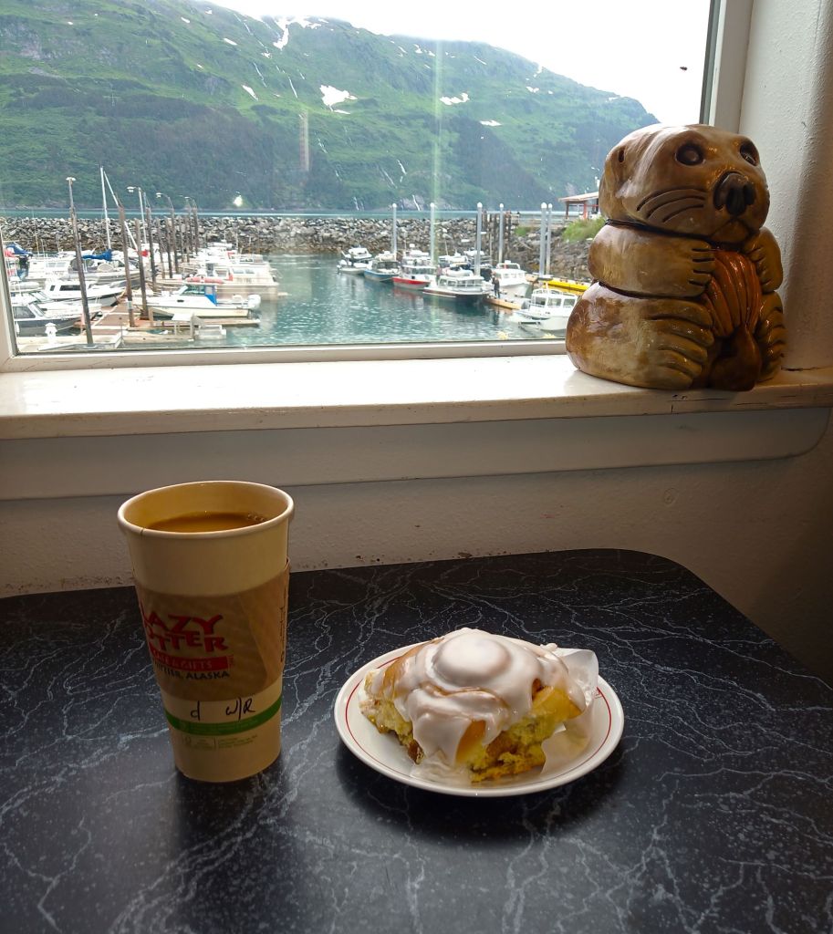
Valdez is a cinnamon bun desert – no suitable buns to review this week!

Critter Count
Salmon – lots (alive and eaten)
Harbor seals and otters – hundreds
Sea lions – 500+ noisy barkers, zero quiet ones
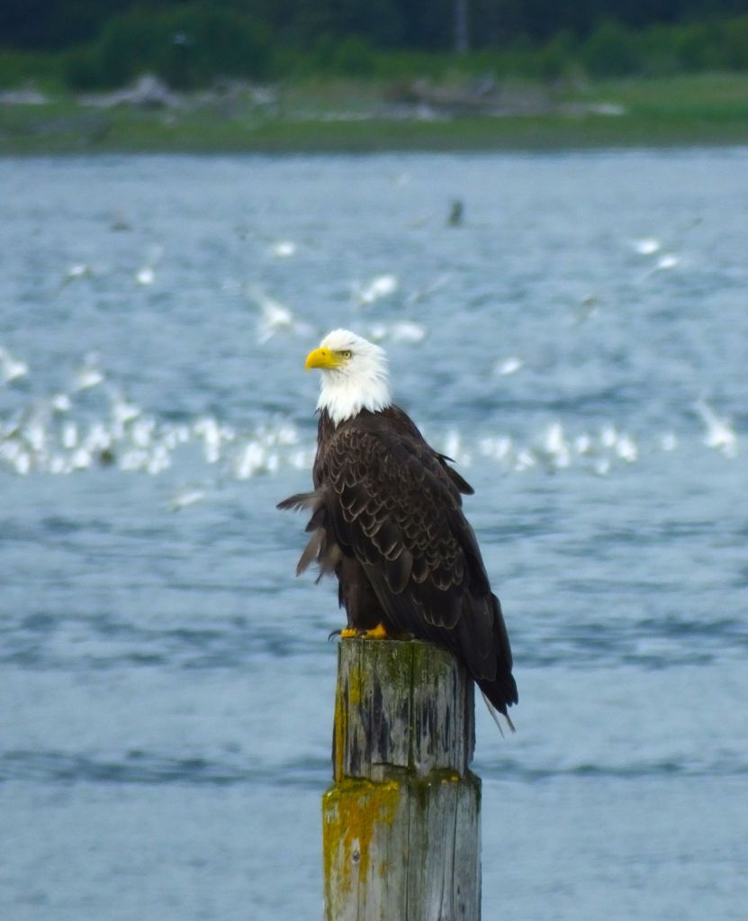
Eagles – 24
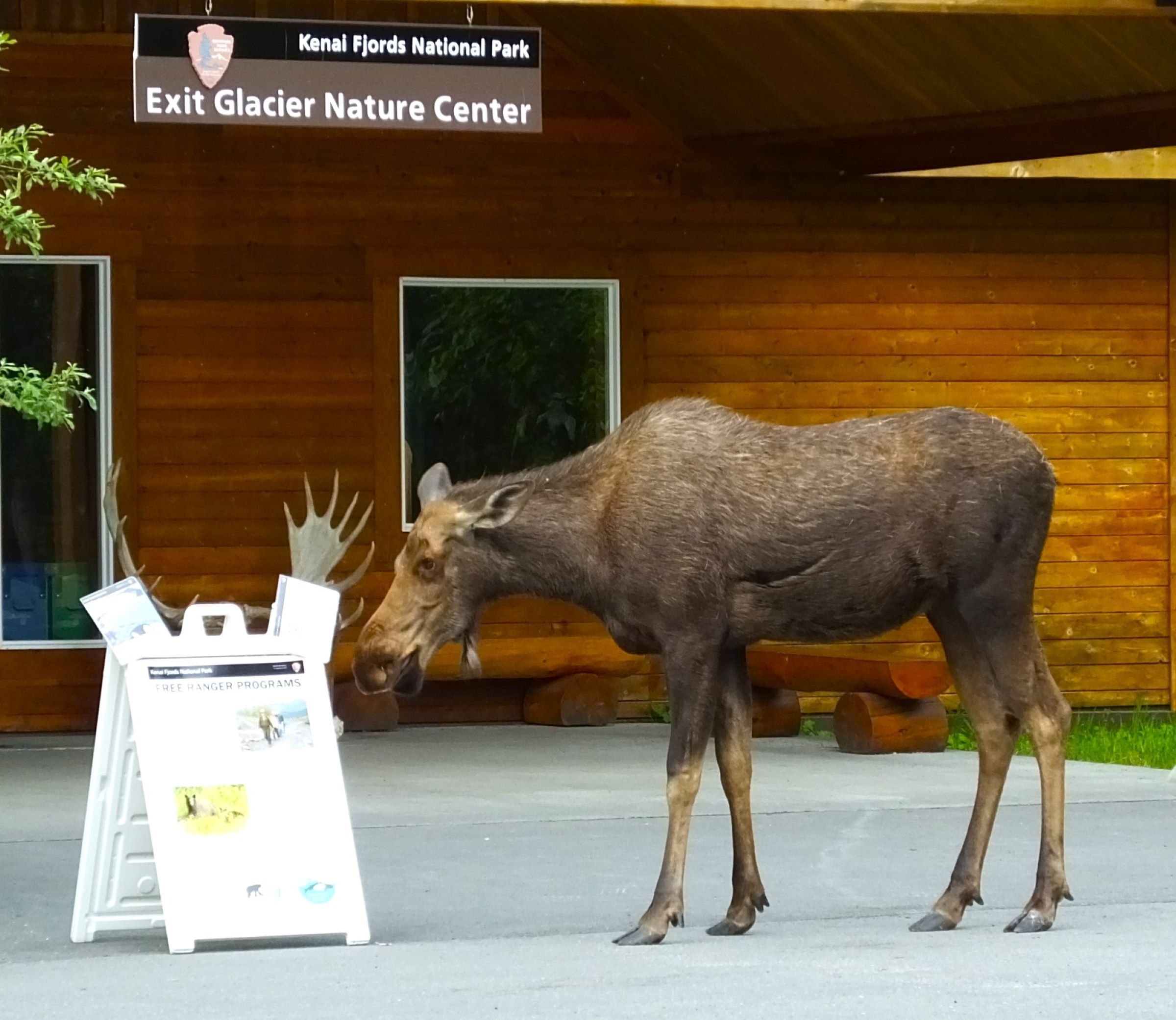
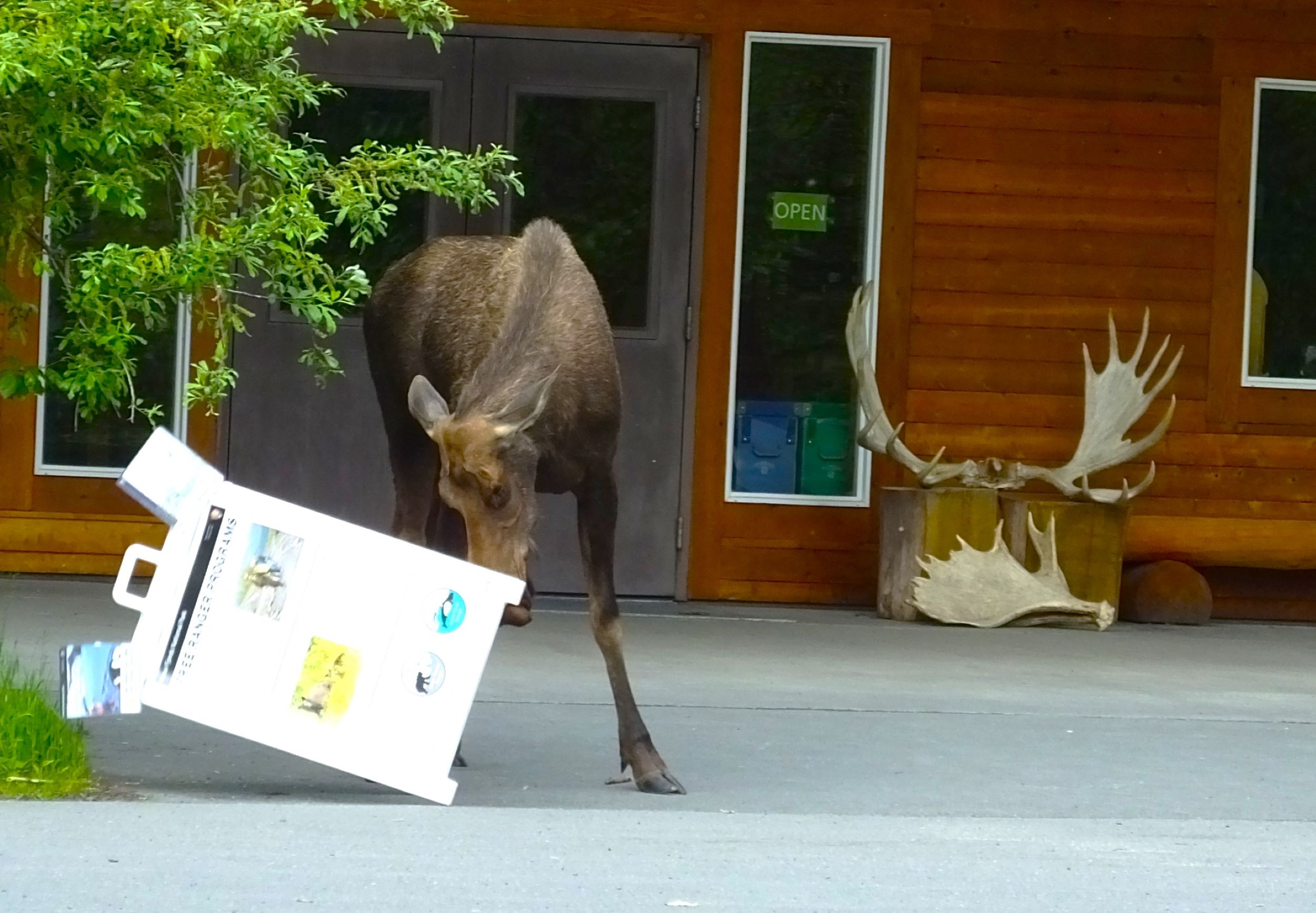
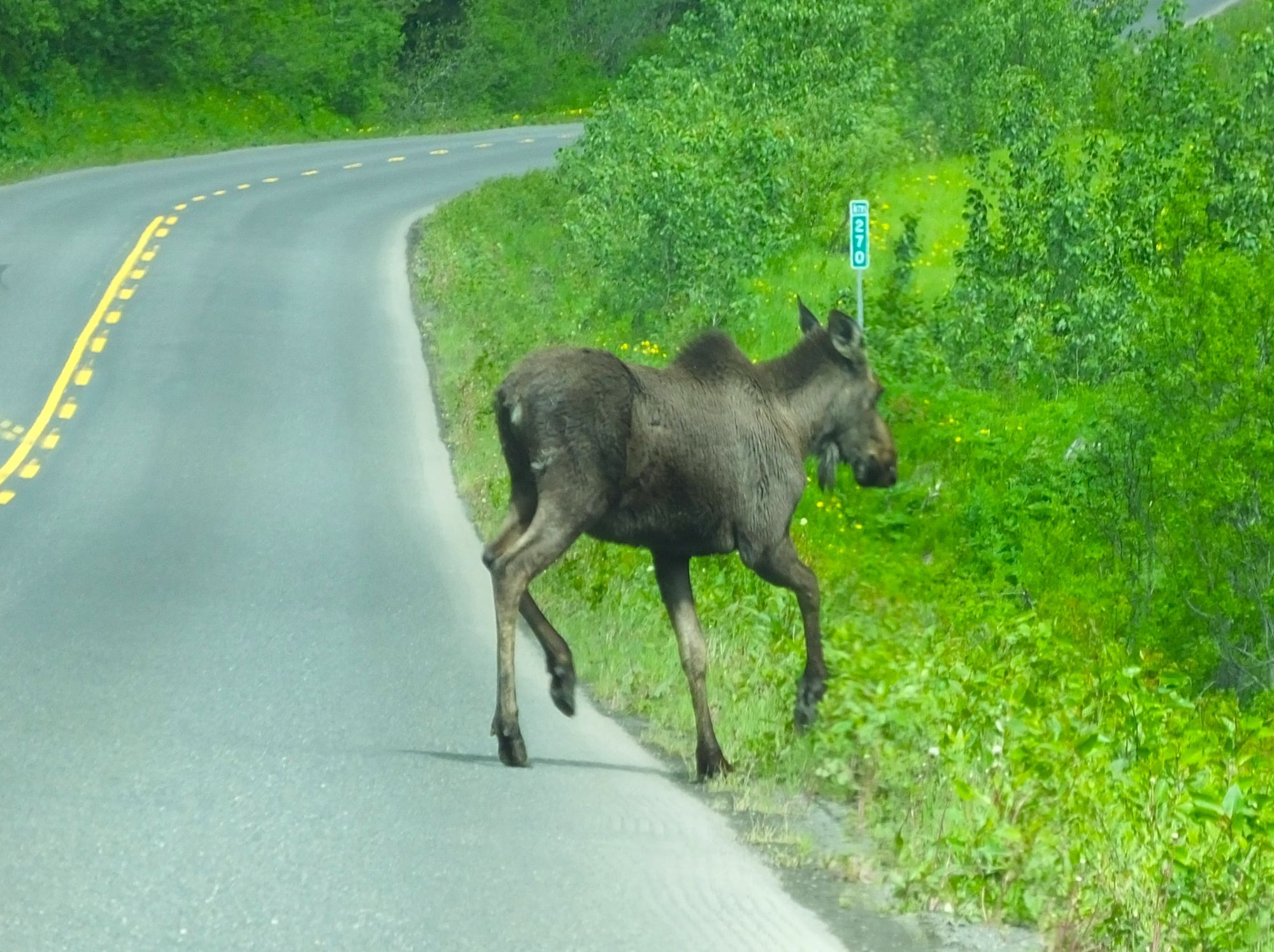
Moose – 2
Weasel – 2
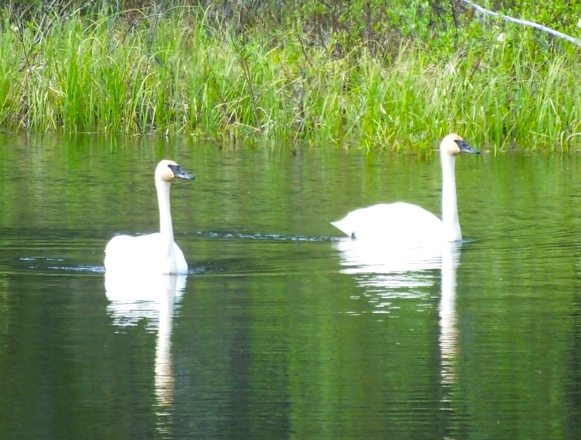
Swans – 10
Black bear – 1
Dall sheep – 2
Puffins – more than a dozen
Mountain goats – 15
Orca whales – 4
Ducks and ducklings, seagulls – many
Next Week:
Our first of four experiences in the Alaska wild: Copper River and the Kennecott Copper Mine