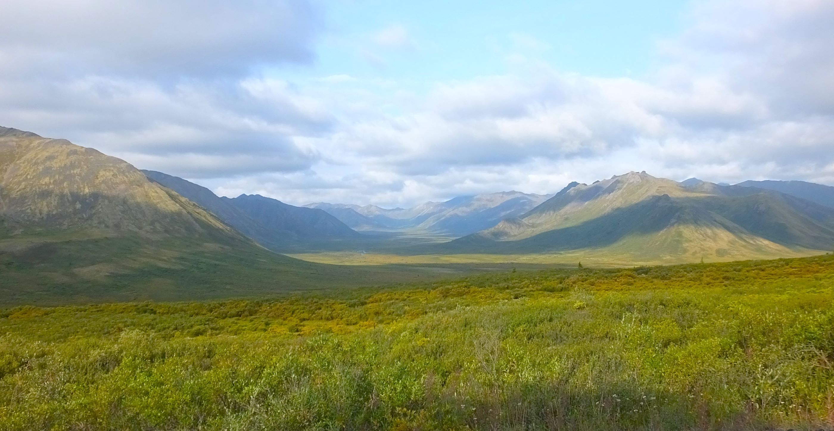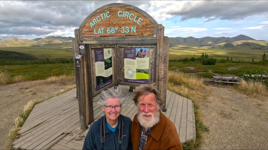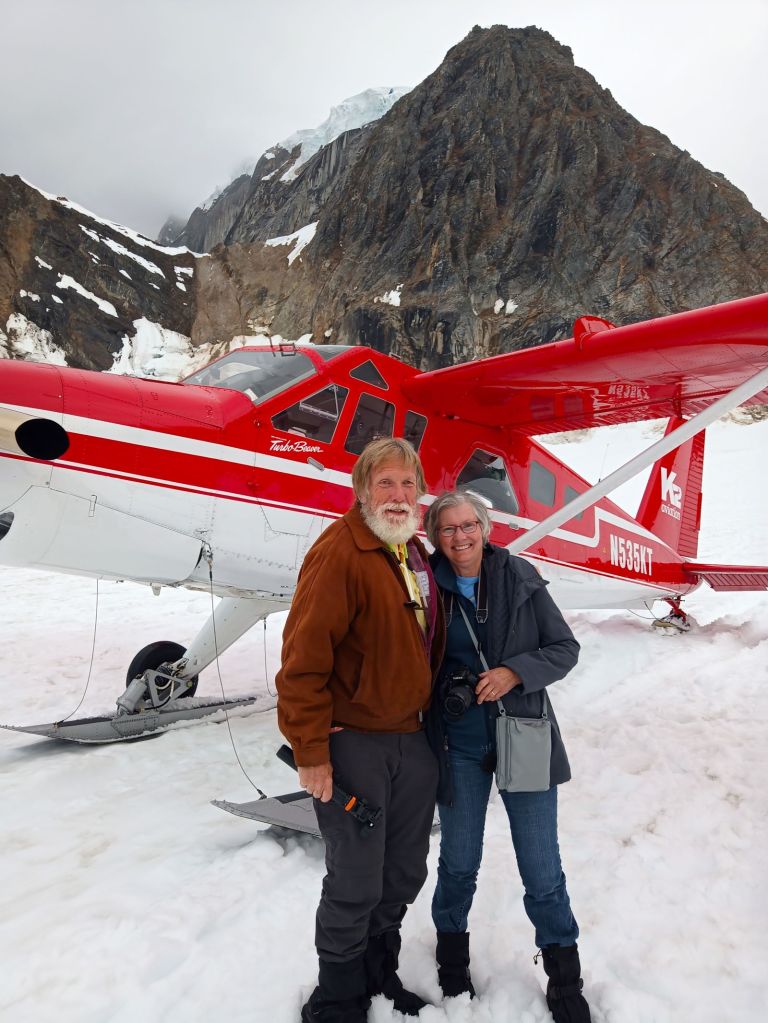
(2023 Alaska Revisited Ep 28)
We hope you are enjoying our roadtrip RabbiTRAILS. They helped make the long trip home fun and interesting. Apart from Matchstick Marvels below, all of the places we visited were free.
A good source of information to plan your own roadtrip to uniquely odd tourist attractions is the Roadside America website.
Matchsticks by the Millions
When I was (much) younger, I shaved the heads off matches and packed them into a copper tube with a flattened end to make a rocket engine of sorts. After a few (very) low orbit flights of my not-quite-SpaceX booster, I was challenged with what to do with the headless matchsticks.
We’re not sure if Iowa artist Patrick Acton got his start shaving matchsticks to fuel homemade rockets, but he definitely found a use for matchsticks.
Millions of them.
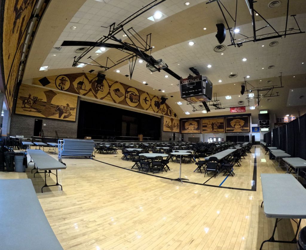
We stopped at Matchstick Marvels, a small museum in Gladbrook, Iowa. There, we were amazed by the detailed scale models Acton has created using millions of two-inch-long matchsticks over the last 44+ years.
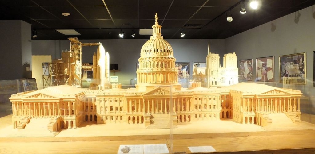
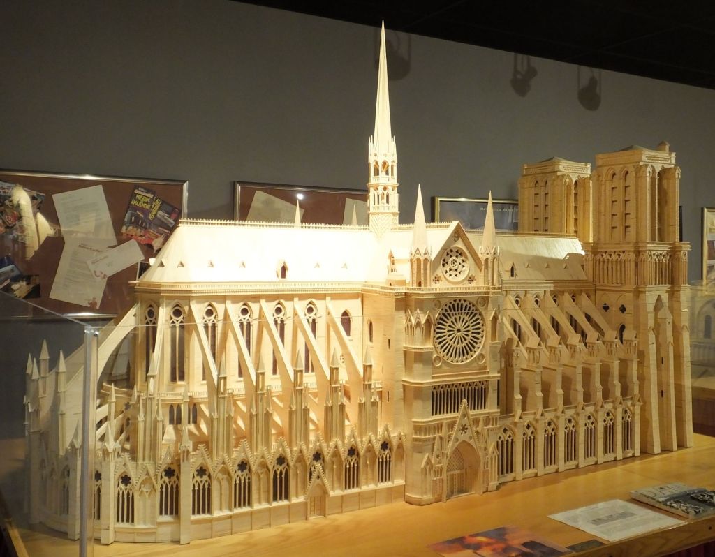
There was an amazing lighted model of the US Capitol and an intricate model of Notre Dame Cathedral. A huge Apollo 11 complete with the Saturn V rocket engine and command module soared above us.
A variety of models are on display in the small museum, from a Space Shuttle poised for takeoff and the USS Forrestal aircraft carrier, along with other ships, several types of planes, dinosaurs and other animals.
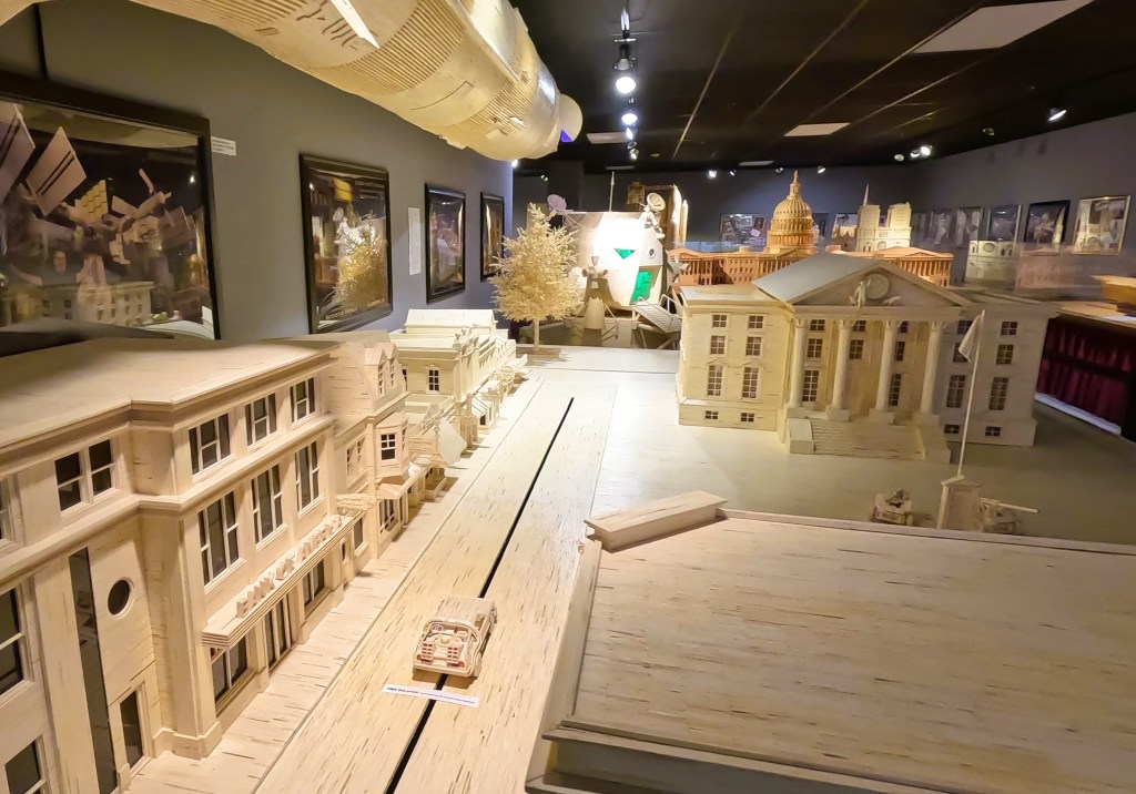
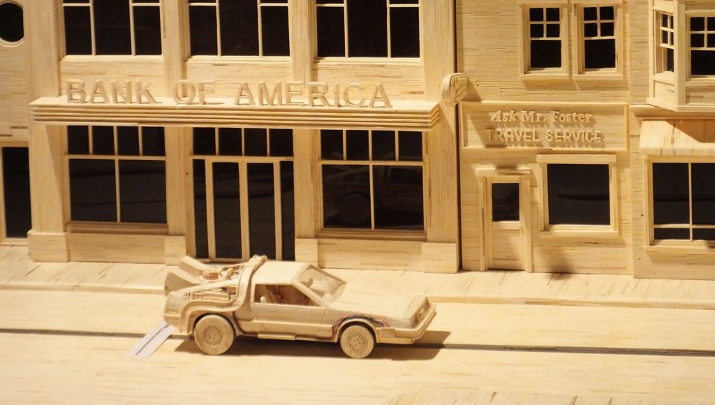
A model of Hill Valley from Back to the Future even included a time traveling DeLorean
A particularly interesting creation was of Hill Valley, the fictional town from the Back to the Future trilogy. The matchstick town was complete with various buildings, courthouse, clock tower and even a DeLorean.
Acton’s creations can be seen in a number of Ripley’s Believe it or Not! Museums throughout North America, Europe and Asia. They have been featured on numerous television programs and in various publications.
Plowing the Prairie and Feeding the World
As we drove along the gently rolling hills of Minnesota and Iowa, Pat and I were fascinated by rugged farm machinery plowing fields and harvesting crops. Quite often the equipment was green and yellow and emblazed with the well-known John Deere logo.
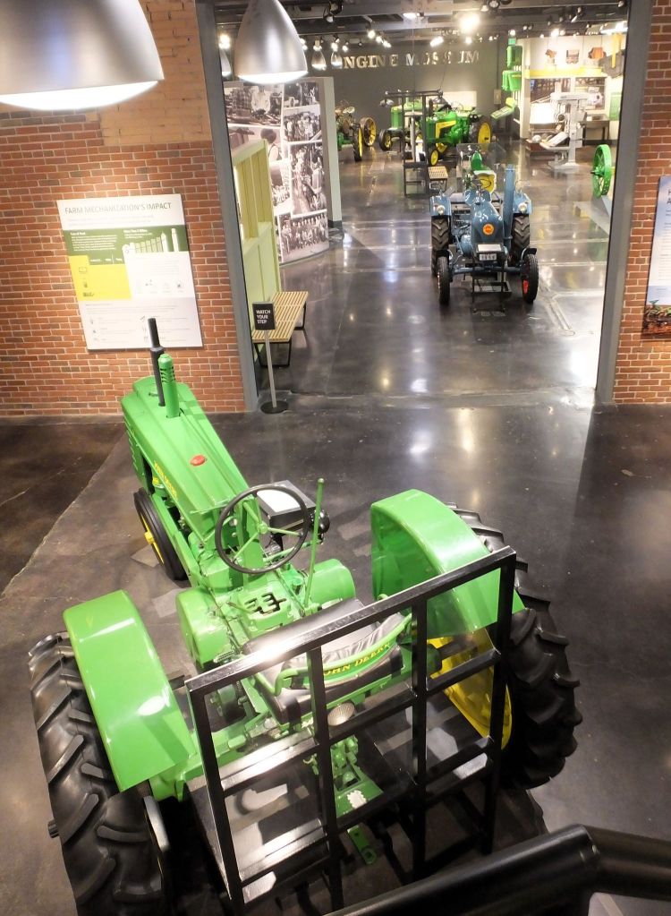
We visited the John Deere Tractor and Engine Museum to learn about the history and products of the John Deere company. The museum includes dozens of restored tractors and other farm machines, various artifacts, and hands-on exhibits.

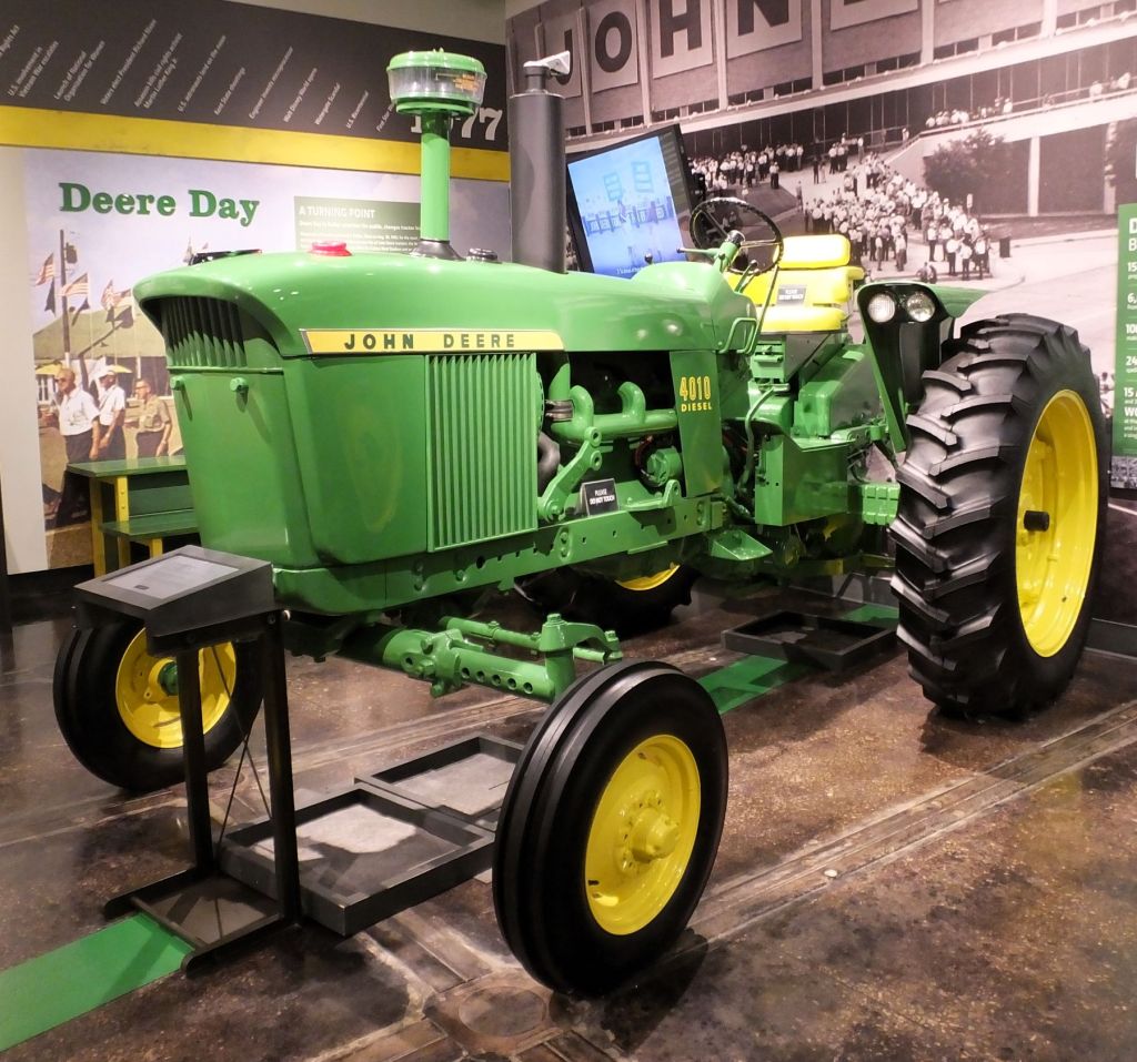
Farming equipment on display ranged from plows and early tractors to an ultramodern air-conditioned tractor with a GPS guidance system.
What an impact John Deere and other farm machinery manufacturers have had on producing food for a hungry world!
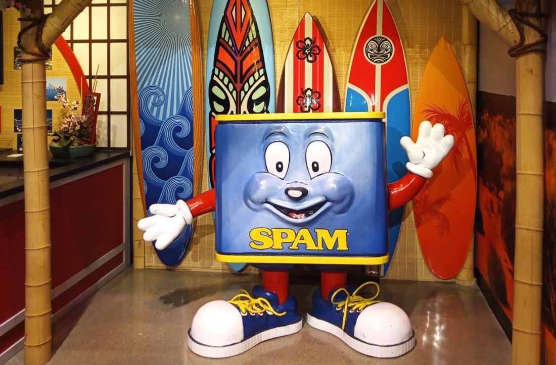
We Get Spammed
As we prepare for RabbiTRAILS journeys we often purchase a can of SPAM in case we are somewhere where groceries aren’t available.
Pat claims SPAM is most palatable when thinly sliced and cooked until crispy. We’ve tried various flavors, including hickory smoke, maple, hot and spicy, and bacon. They pretty much taste the same. Suffice it to say SPAM is not our favorite menu choice.
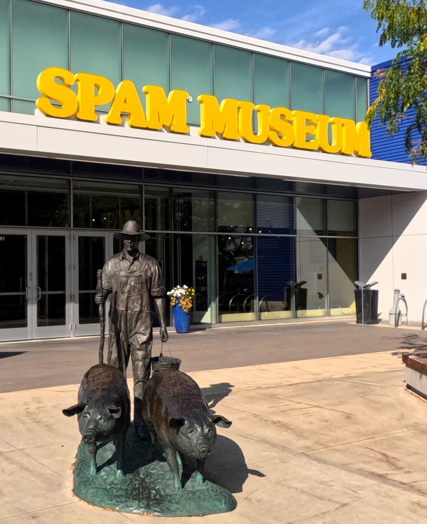
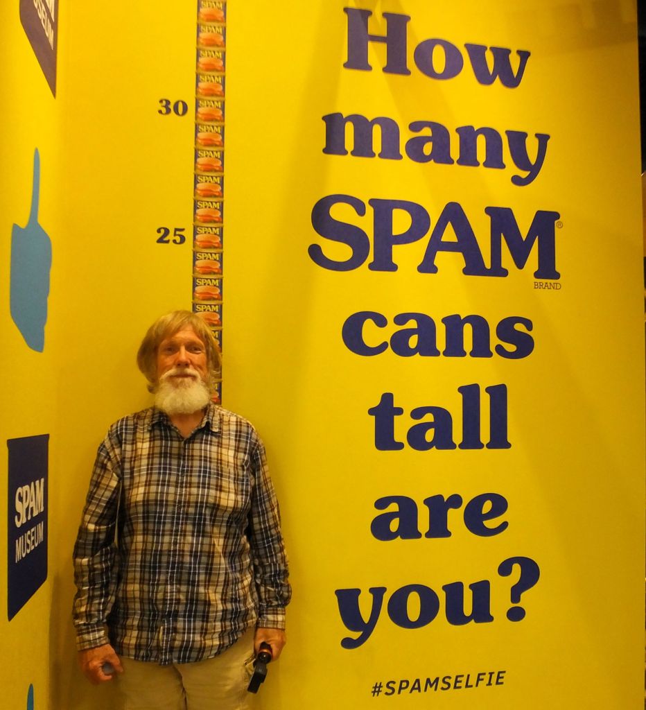
Although we had already satisfied our ‘one can of SPAM per trip’ allotment, we stopped at Hormel’s SPAM Museum in Austin MN, to learn all about SPAM!
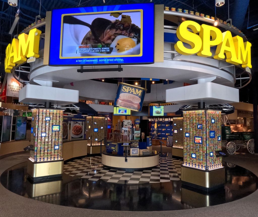
Introduced in 1937 as an affordable source of protein during the Great Depression and way to sell pork shoulder, SPAM was named by the brother of a Hormel Foods executive, allegedly the contraction of ‘spiced ham.’ More than 150 million pounds of the pink stuff were consumed by US soldiers during World War II. They also used SPAM grease to lubricate their guns and waterproof their boots!
SPAM has been celebrated and maligned over the years as ‘specially processed American meat’, ‘spoiled ham’, ‘stuff posing as meat’, and ‘scientifically processed animal matter’. Who can forget the Monty Python skit with Vikings chanting ‘SPAM, SPAM, SPAM… ‘, that eventually became the source of the word ‘spam’ to describe unwanted emails.

Fifteen flavors of SPAM are currently sold in more than 44 countries. There are international SPAM-related cultural displays and recipes, including exhibits from the Philippines, South Korea, Japan and Hong Kong, where the canned meat is particularly popular.

Overall, the US consumes the most SPAM. Hawaiians have the highest per capita consumption in the US, averaging more than five cans a year per person. SPAM is even available in many McDonald’s locations in the Aloha state.
205 Years from Now
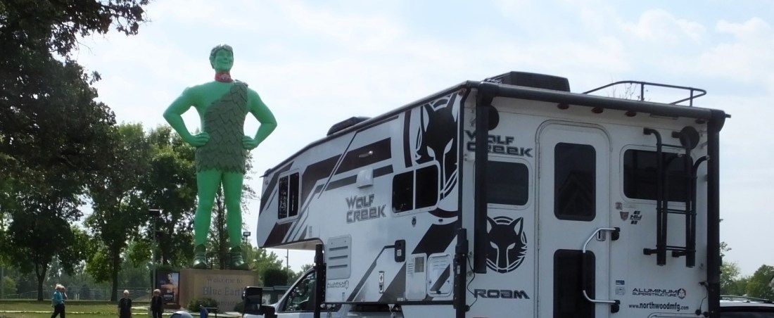
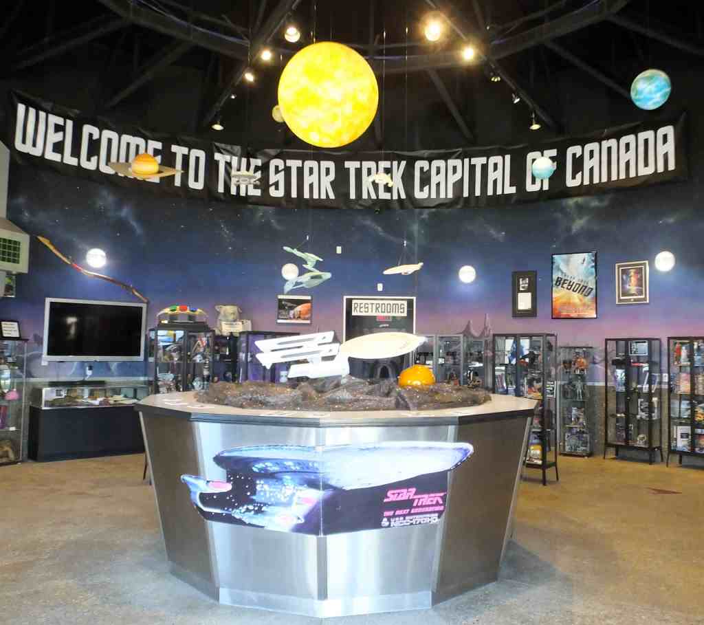
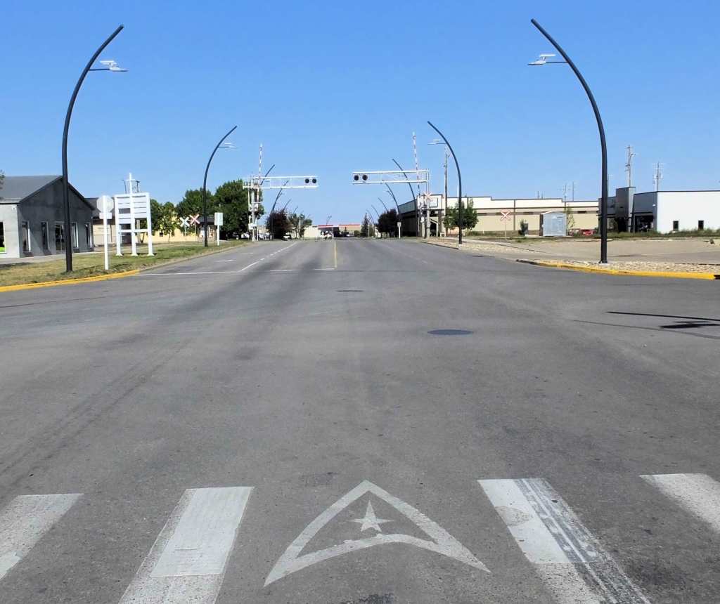
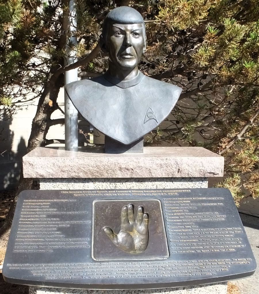
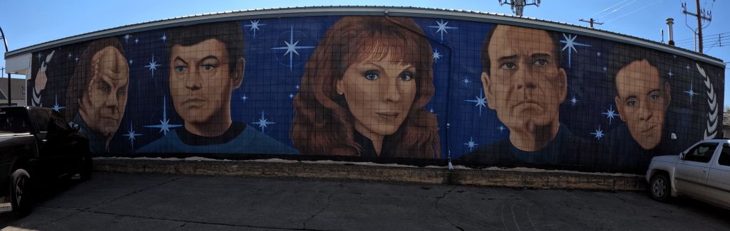
Earlier in our trip we visited Vasquez Rocks Natural Area near Los Angeles (2023 Alaska Revisited Ep 7), where several episodes of Star Trek were filmed. Last week, we blogged (Ep 27) about our visit to Vulcan, Alberta, home of a Star Trek tourist center and numerous Star Trek and Spock-themed displays around the small town.
We thought it fitting to make another with Star Trek-related RabbiTRAIL stop, this time at the future birthplace of Star Trek’s James T. Kirk in Riverside, Iowa. The Enterprise captain will start his life trek on Saturday, March 22, 2228.
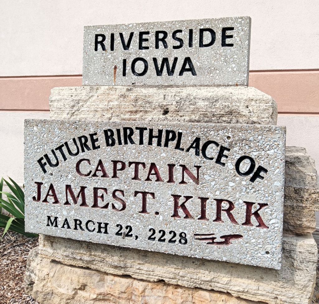
Riverside, a small town in southeast Iowa near the Amana Colonies and Amish community of Kolona, has erected a monument that establishes the town as Kirk’s future birthplace. Banners on light poles throughout the town proclaim the town is “Where the Trek Begins.”
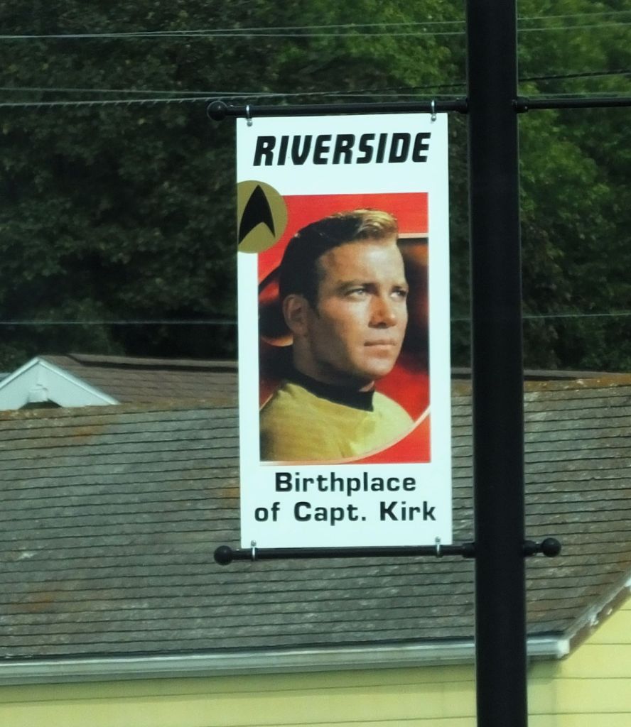
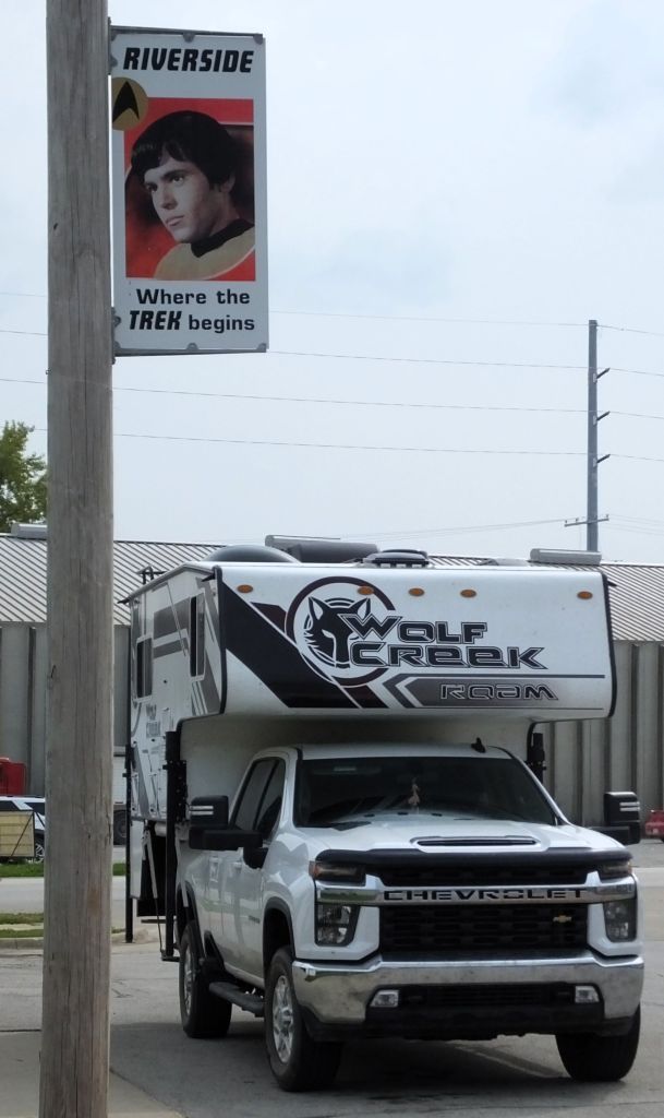

Star Trek-themed banners seen throughout the town; we wondered if the Enterprise obeyed the posted speed limit
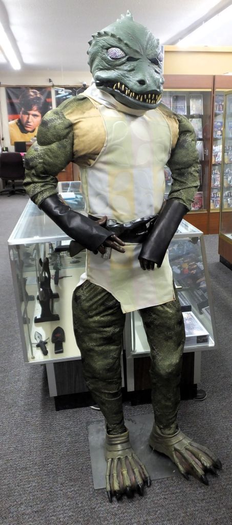
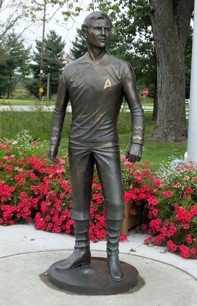
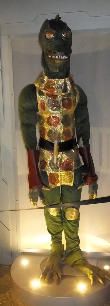
A Star Trek museum wouldn’t be complete without Gorn; the future Captain Kirk even has his own bronze statue
We stepped inside the Voyage Home History Center just around the corner from the plaque to peruse their Star Trek displays and memorabilia. We learned during the last weekend of June next year the town will host their 39th Trekfest, celebrating all things Star Trek with special guest speakers, costume contests, sports events, a large parade, fireworks and more.
One of Riverside’s taverns used to claim to be the location where Captain Kirk was conceived. Guess we won’t know for sure for another 205 years.

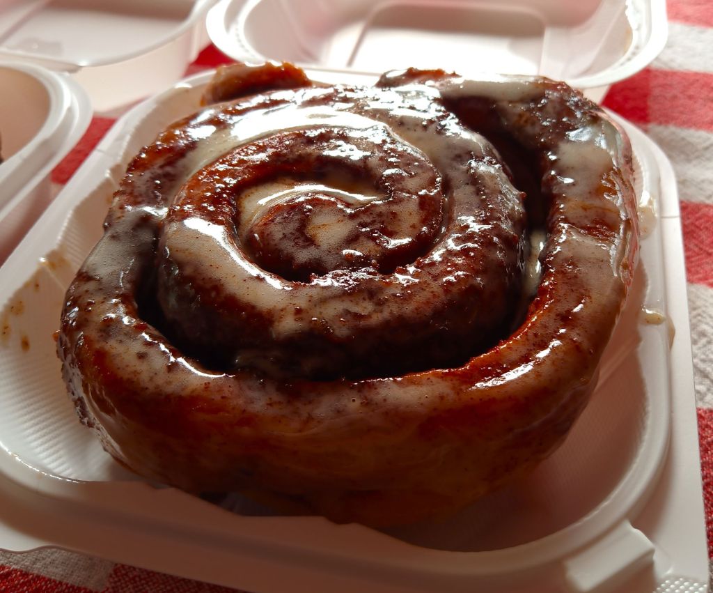
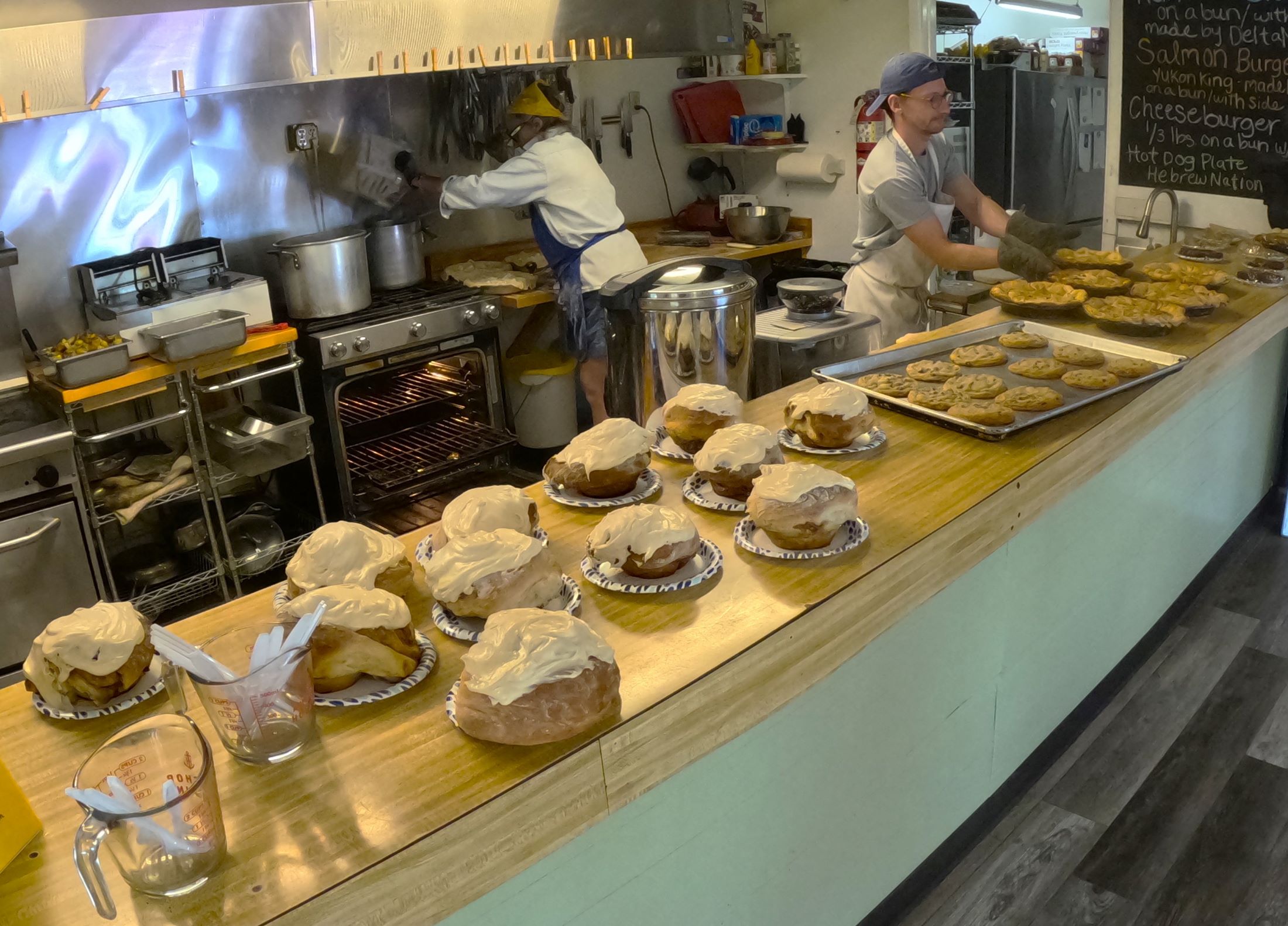
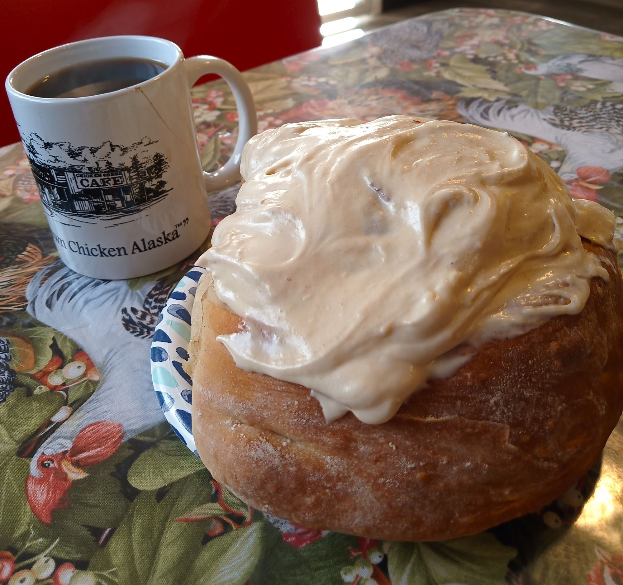
Cinnamon Bun Review/Critter Count
None to report this week. Check back in the next RabbiTRAILS episode!
Next Week
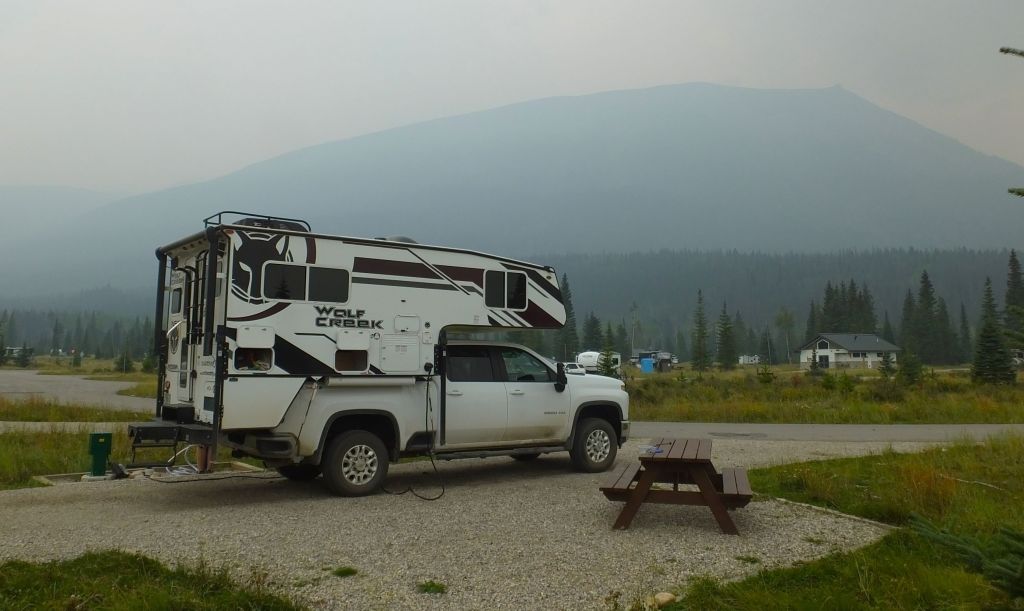
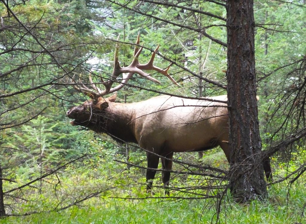
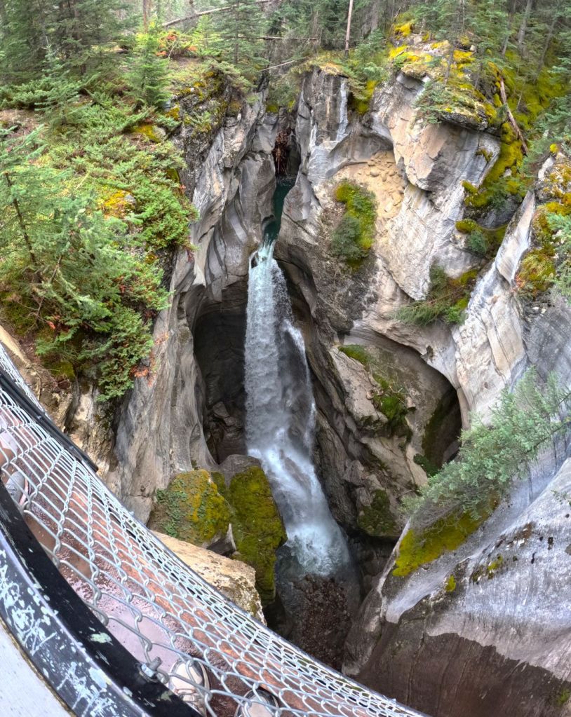
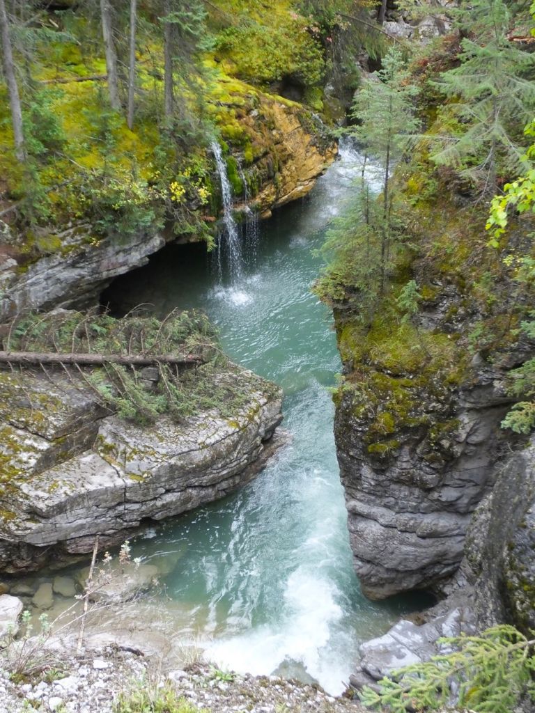
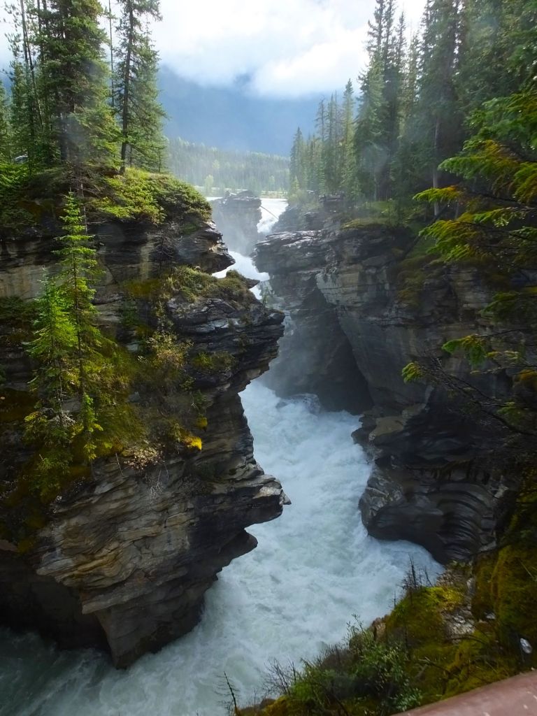
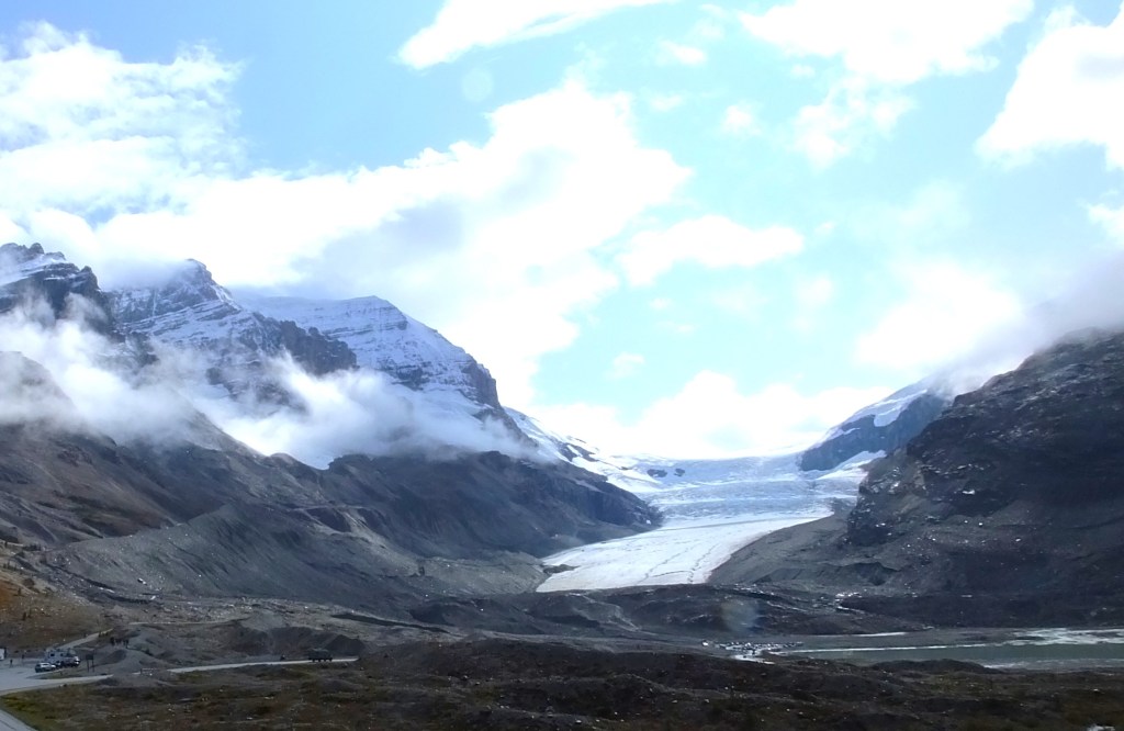
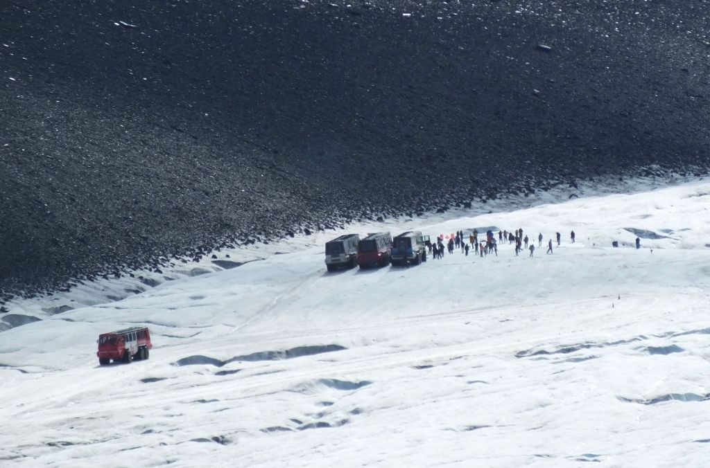
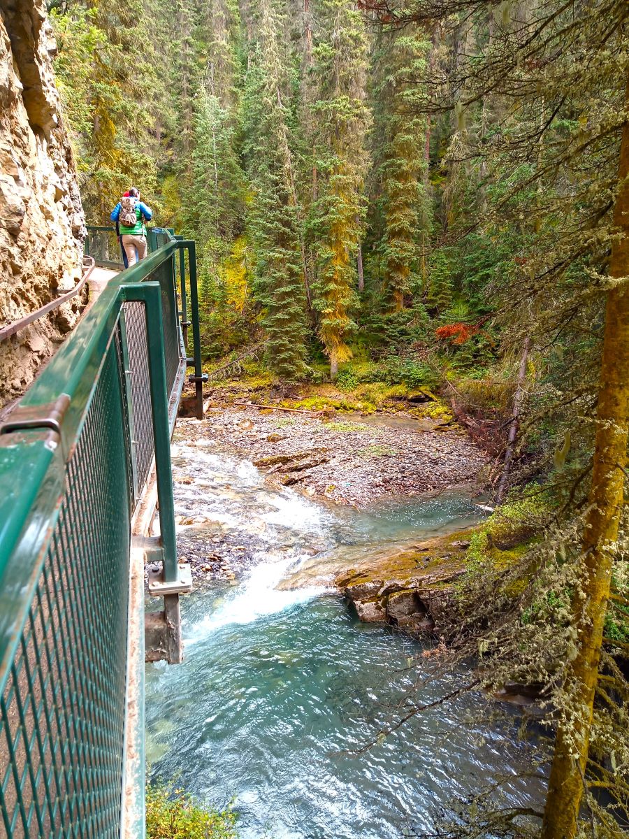
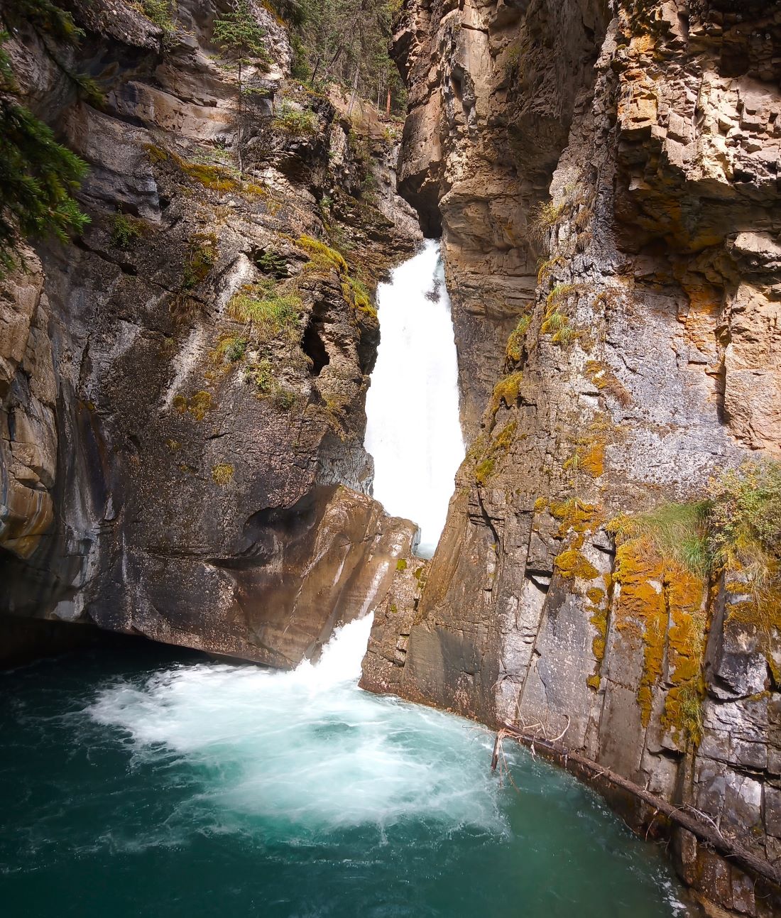
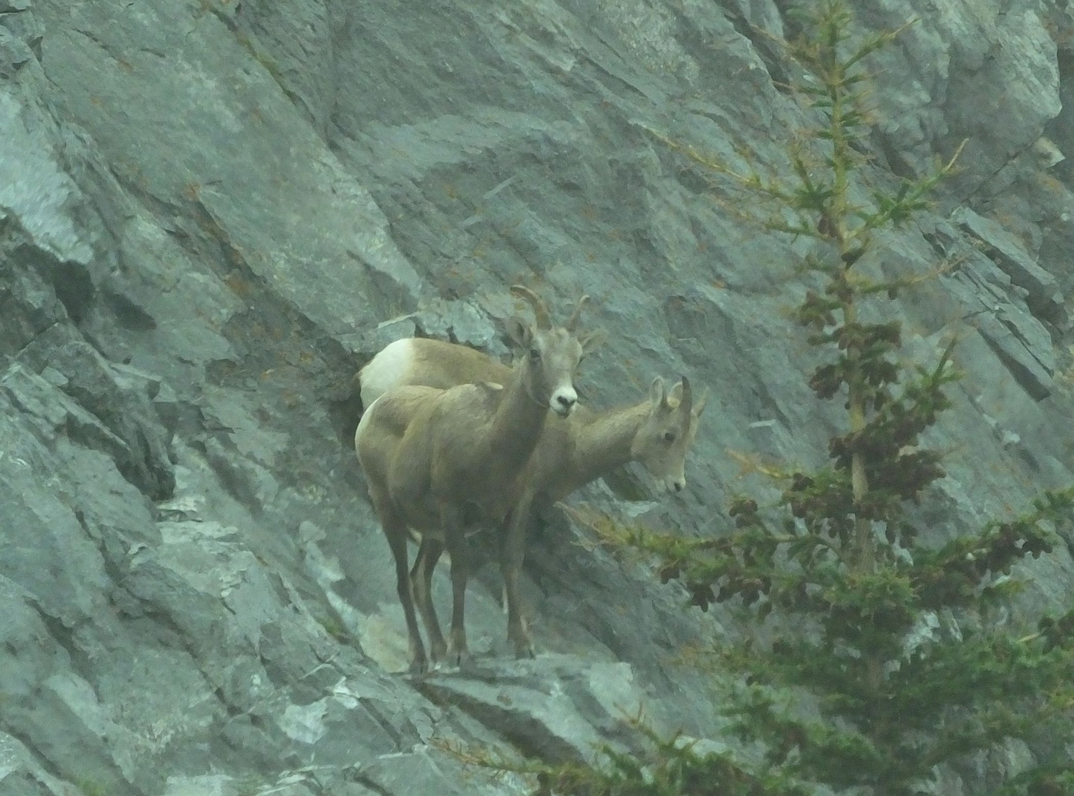
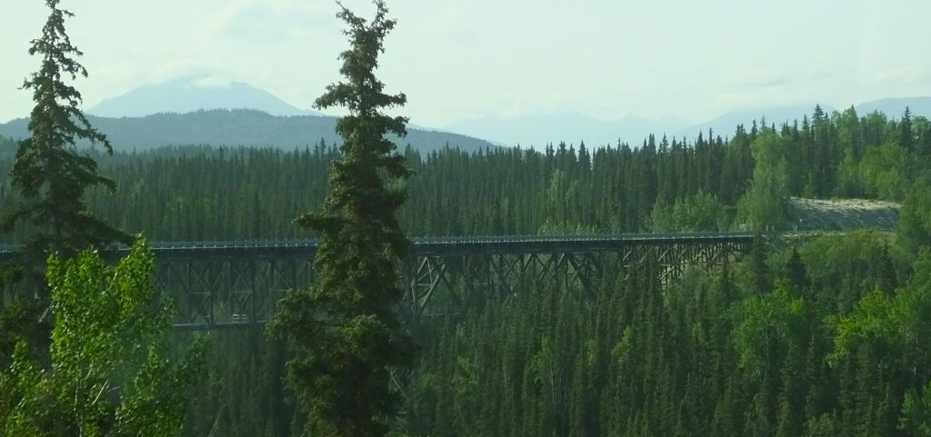
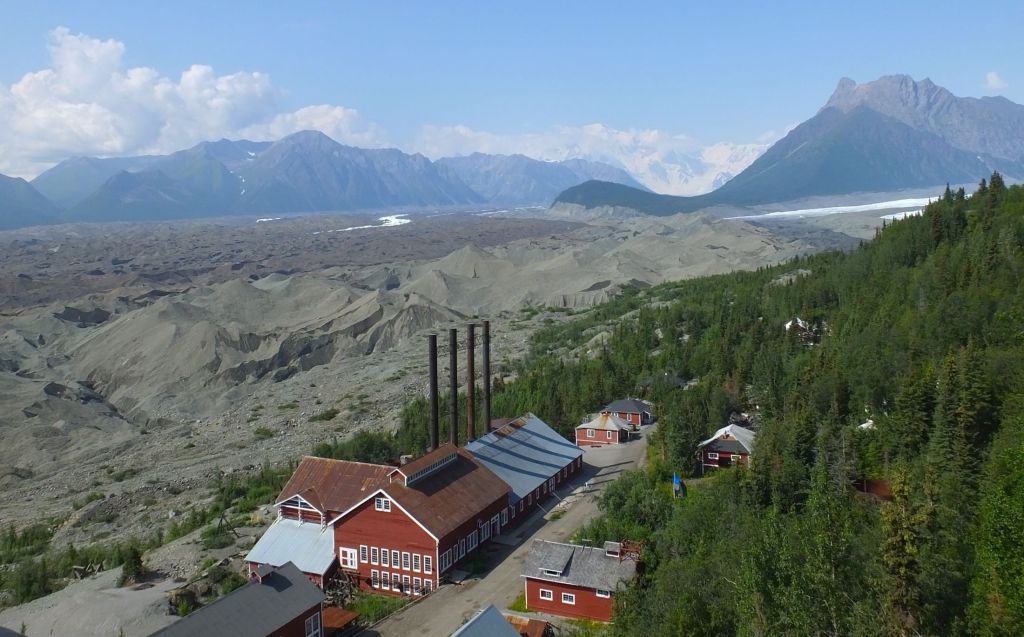
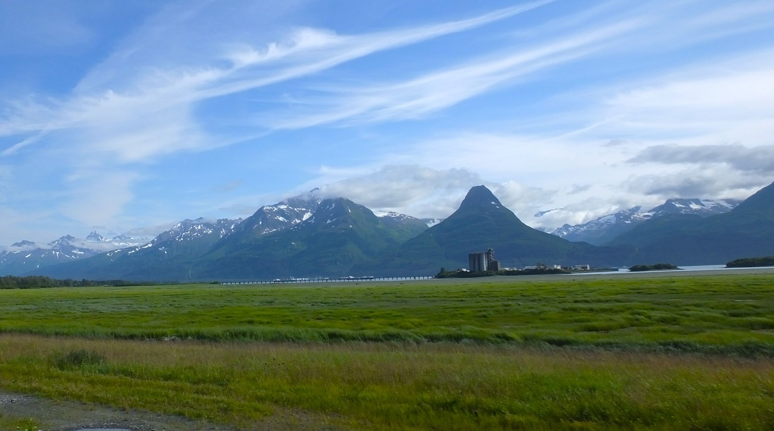
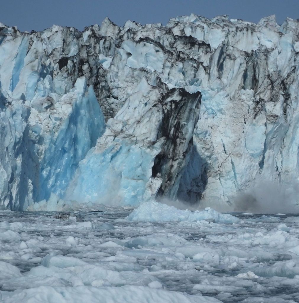
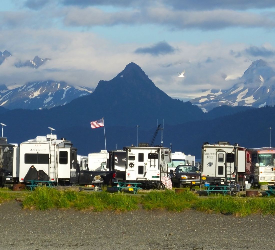
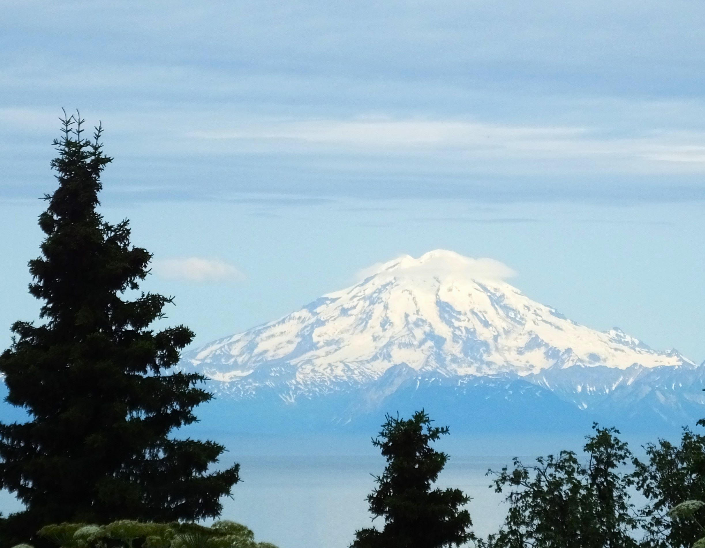
After many miles and several mid-west roadtrip RabbiTRAILS, we visit two National Parks as we near completion of our 2023 Alaska Revisited travels.