
A Month on Kenai

(2018 Alaska Ep 36)

On July 12, we headed to the Kenai Peninsula for nearly a month (RabbiTRAILS Alaska Map, pts 40-44).

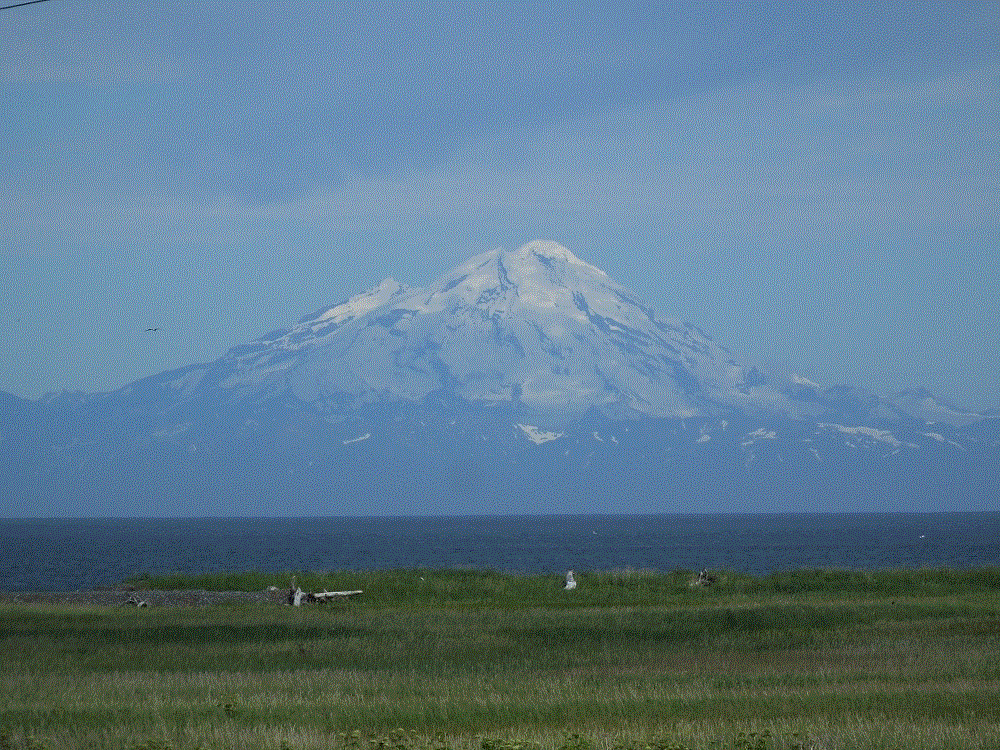
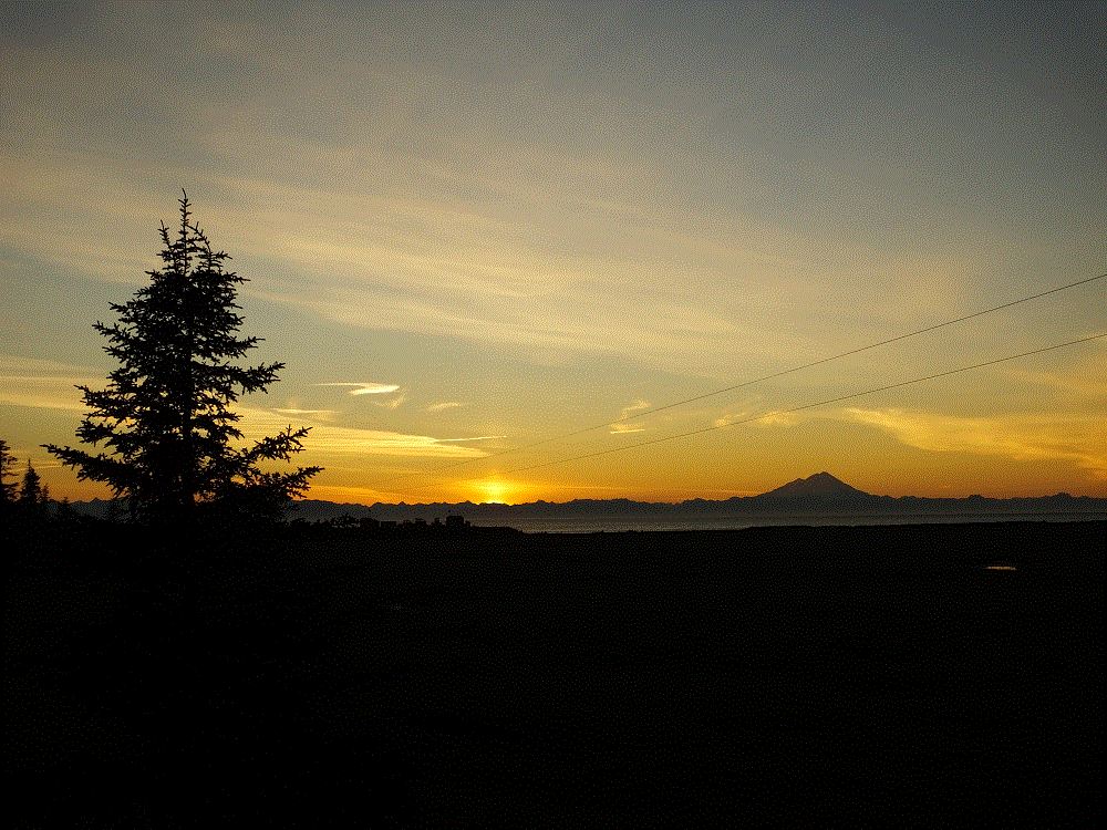
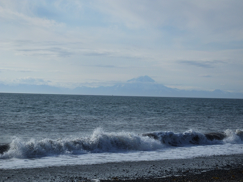
We drove across amazing mountains which run north-south along the east and central portion of the Kenai, and along the famed Kenai River, to the west coast of the Kenai peninsula.  The western portion is flat-to-slightly hilly, and as we headed south toward Homer, we could see across the Cook Inlet to a distant mountains that included Redoubt, Iliamna and St Augustine volcanoes.  Snow-covered Redoubt is the most dramatic at 10197 feet.  It’s quiet now, the last eruption occurring in March 2009.
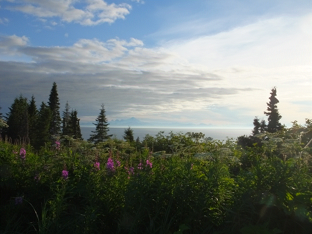
2018 Alaska Trip 2770 - 1807202322
Mt. Redoubt across the Cook Inlet

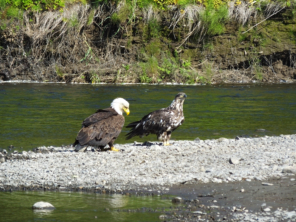
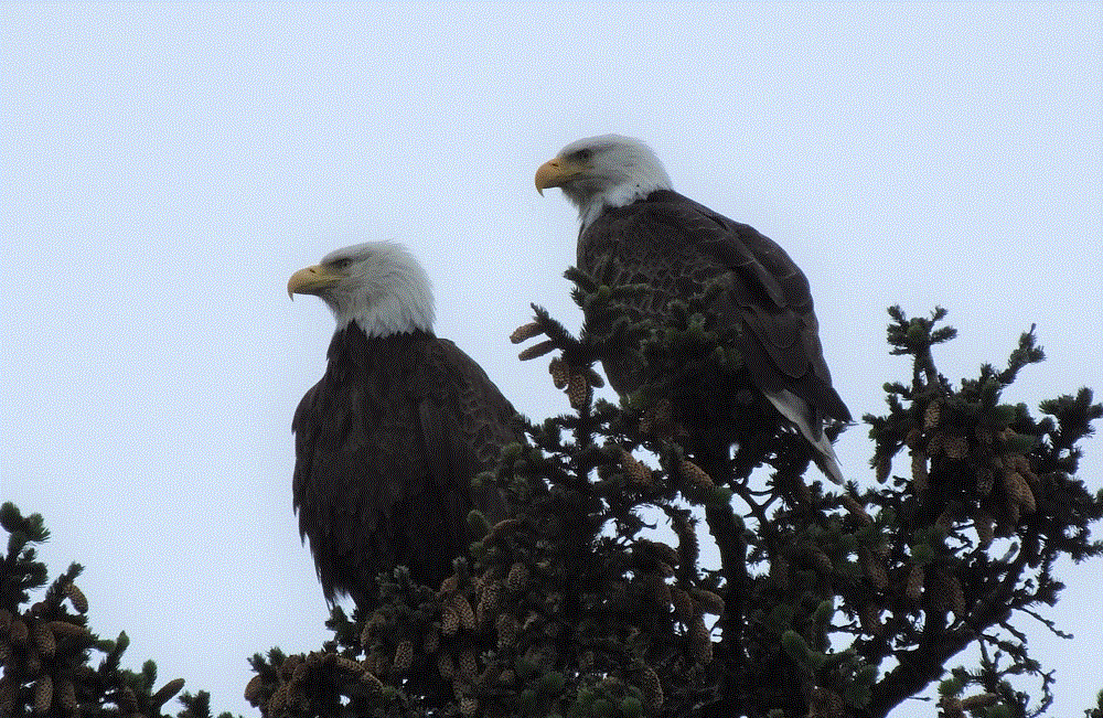
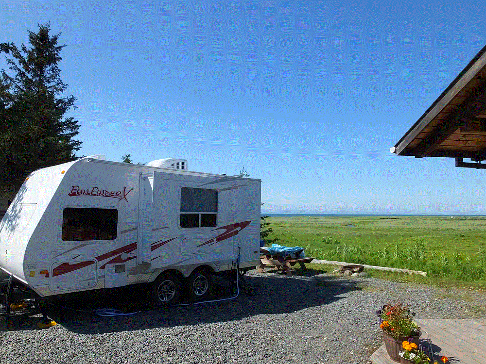
We camped for a week north of Homer at Anchor Point (map pt. #40).  Our campsite was along the Anchor River, with a view of Mt.  Redoubt.  We were told moose frequented the area but didn’t see any.  We did we a number of bald eagles however.
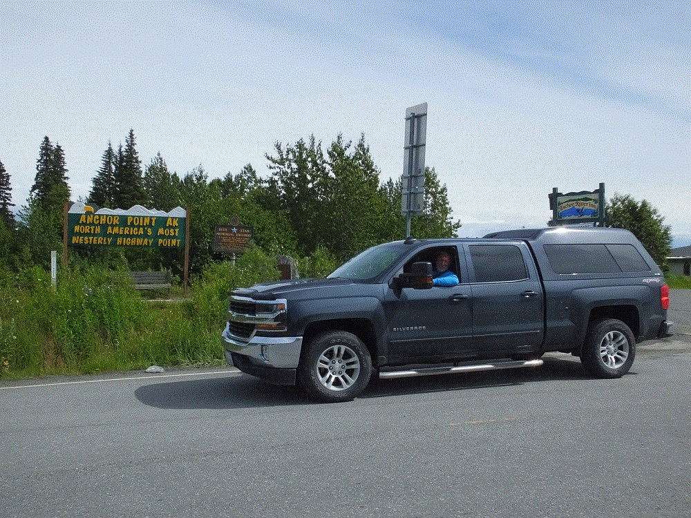
Anchor Point has the distinction of being North America’s most westerly highway point.
2018 Alaska Trip 2500 - 1807151750

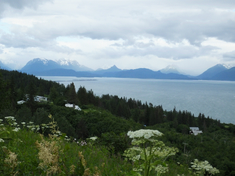
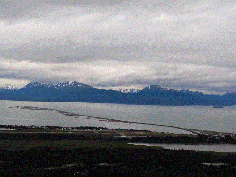
We made several visits to Homer, a 20-minute drive away.  As the road winds down a bluff to the town, there is a pulloff where one can see Kachemak Bay and mountains across the bay, and the Homer Spit.
2018 Alaska Trip 2453 - 1807132027
Kachemak Bay view
2018 Alaska Trip 2466 - 1807141636
Homer Spit

Homer Spit is a finger of land that extends four and a half miles from the Kenai coast into Kachemak Bay.  It is intensely developed with campgrounds, a marina, gift shops, restaurants and the like.  There are LOTS of boats and fishing charter businesses, and Homer claims to be the halibut fishing capital of the world.

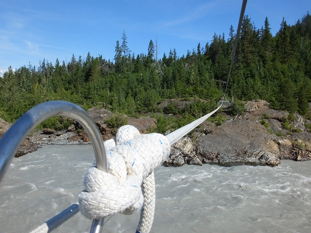
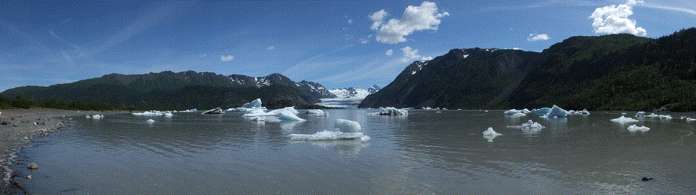
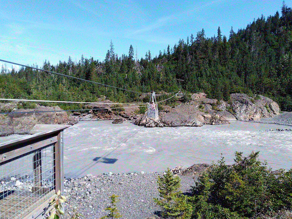
We didn’t go fishing.  Instead we took a water taxi to Kachemak State Park across the bay, where we endured a seven mile hike to an iceberg-filled lake at the base of Grewingk Glacier.  We also crossed the outflow river from the glacier on a cable-suspended-tram manually operated by pull rope.
2018 Alaska Trip 2684 - 1807181615
Grewingk Glacier Lake and iceberg panorama

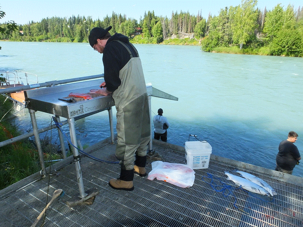
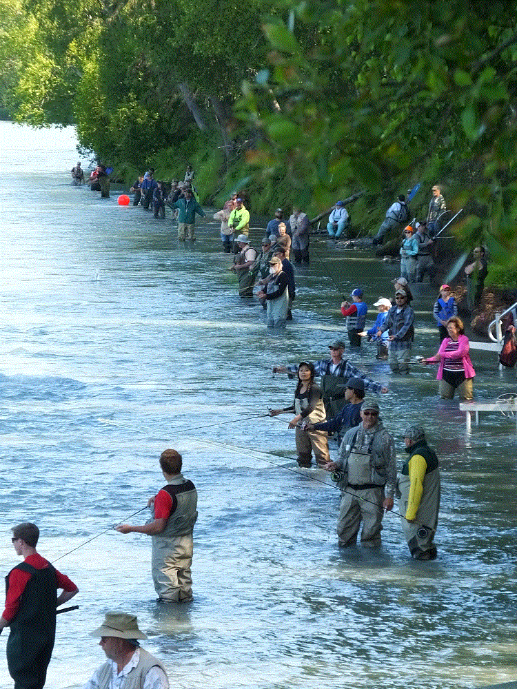
We headed north to Soldotna (map pt. #42), a town on the Kenai River.  July is prime salmon fishing season and banks of the river were lined with fishermen snagging  and dip-netting the fish.
2018 Alaska Trip 2802 - 1807221805
Salmon fishing frenzy on the Kenai
2018 Alaska Trip 2799 - 1807221800
Fish are fileted right by the river not long after being caught

There are five kinds of salmon, each making their spawn run up rivers and streams at different times during the summer.  As non-natives, we find the distinctions between each type of salmon rather confusing.   Fishing regulations are especially rigorous – the booklet with various limit, size and date guidelines is almost 100 pages!

From Soldotna we travelled back across the peninsula to Seward (map pt. #44).  Seward is similar to Valdez, a port circled with beautiful mountains.  Cruise ships dock at Seward and passengers travel to destinations further into Alaska via the Alaska Railroad.

Our Kenai stay will end in a few days as we head back to Anchorage to meet our son Phil, who is joining us from Orlando.  He will spend a week as we visit Denali National Park and take a short glacier-wildlife cruise.

Views on the Kenai are beautiful, particularly across the Cook Inlet.  Some closing photos:
2018 Alaska Trip 2528 - 1807162138
Mt. Redoubt across the Cook Inlet
2018 Alaska Trip 2530 - 1807171252
Mt. Redoubt closeup
2018 Alaska Trip 2585 - 1807180100
Mt. Redoubt sunset (1 am)

Getting Wet in Whittier

(2018 Alaska Ep 35)

We departed on July 9 for Whittier on the Kenai Peninsula (RabbiTRAILS Alaska Map, pt #35).  In August, we will return to Anchorage to pick up our son Phil from the airport.  He’ll spend a week with us as we visit Denali and take a glacier cruise out of Seward.

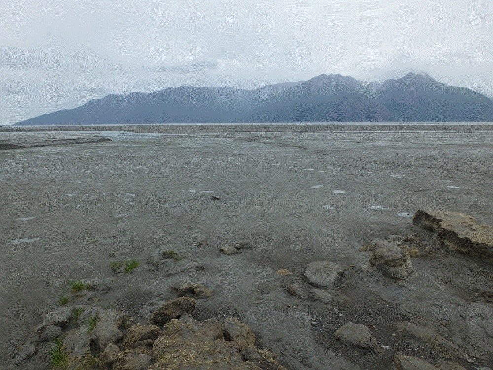
Our route took us southeast along the shore of the Turnagain Arm.  This bay has the highest tides in the US!  The incoming tide, called a tidal bore, can result in a quickly moving wave up to six feet high!

The tide was going out as we arrived.  We could see broad tidal flats but no tidal bore.  We hope to see the bore when we return to Anchorage or with Phil on the way to Seward.

2018 Alaska Trip 2367 - 1807101344
Turnagain Tidal Flats

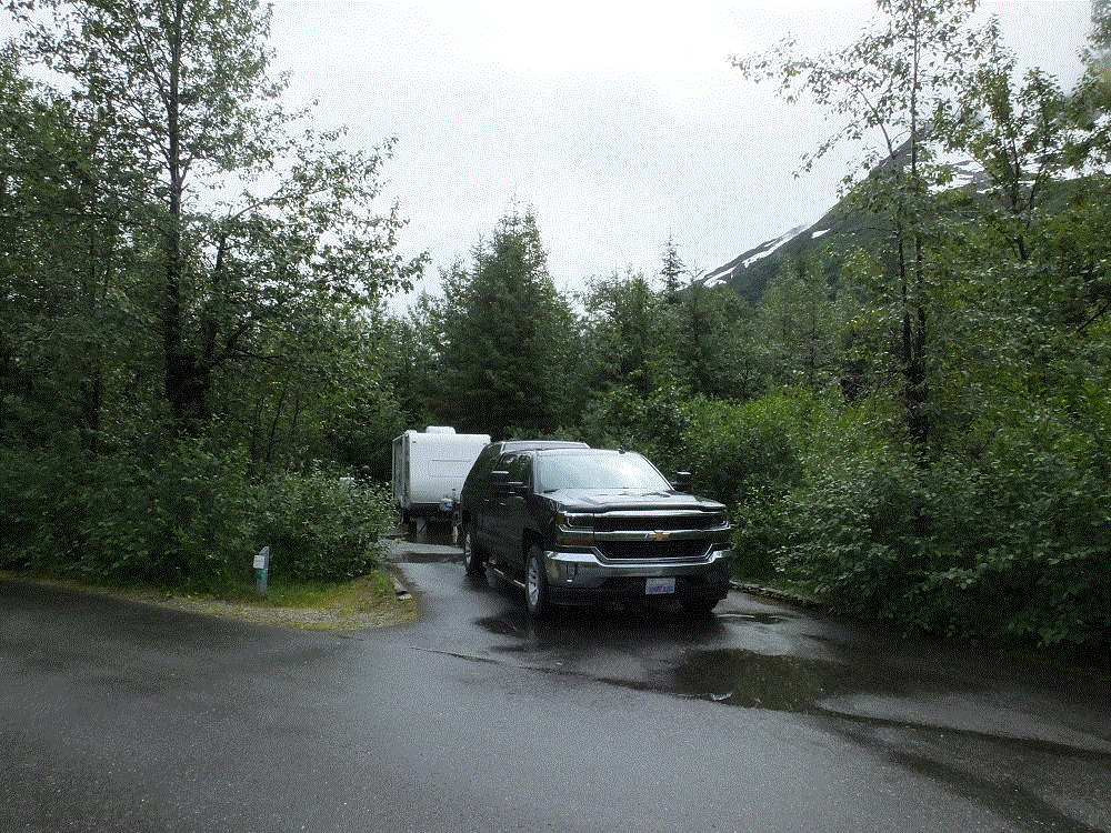
Our first three nights on the Kenai Peninsula were to be spent dry camping – no electric/water/sewer hookups – at the Williwaw Campground.

We didn’t dry camp.  The next two plus days were continuous rain. We learned rainy weather is common in the area due to moist air moving across the mountains from Prince William Sound.

Because of the rain, we couldn’t use the portable solar panel that keeps our RV battery charged.  The battery power got pretty low by the end of the second day and we had to skip showers until our next stop.

2018 Alaska Trip 2387 - 1807111534

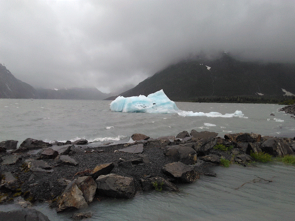
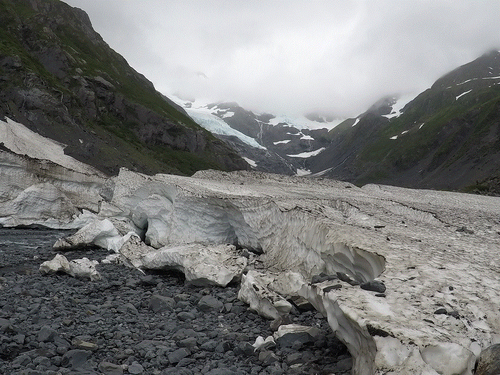
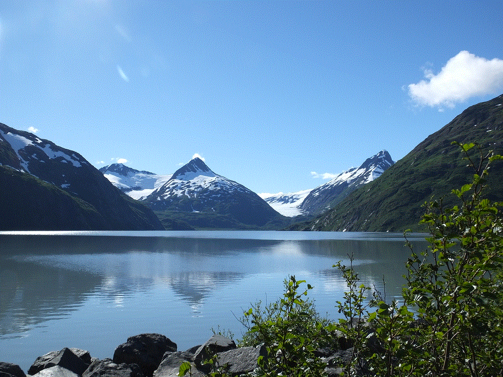
Portage Lake was nearby.  The lake contains runoff from Portage and several other glaciers.  It also contains mini-icebergs that have calved off of Portage Glacier.  When the weather cleared a bit, we hiked to Byron Glacier, one of the nearby glaciers.  Glacial blue ice is remarkable!

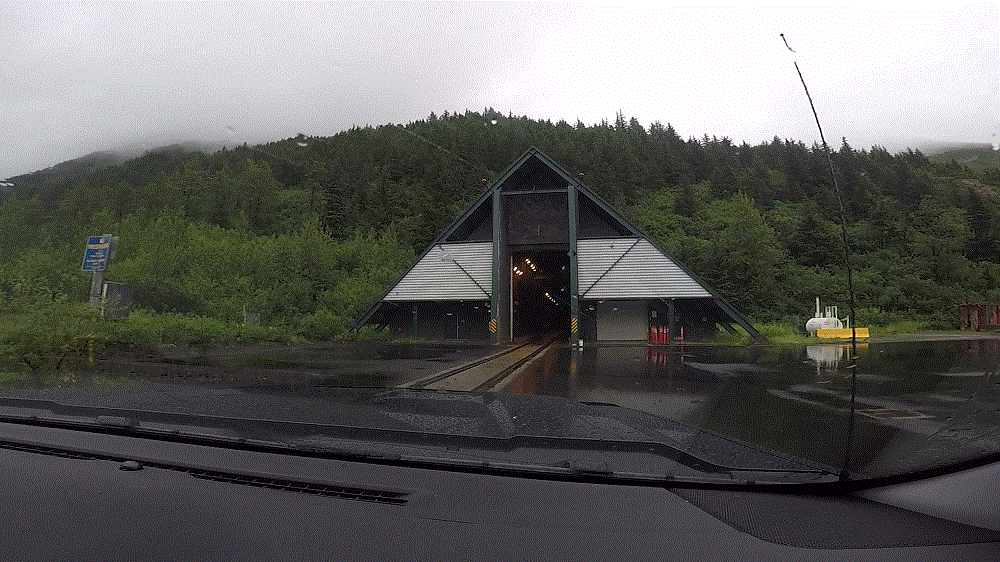
From Portage Lake, the road continues through a 2.5 mile tunnel to Whittier.   Trains and cars use the same single-lane tunnel at different times during the day.

2018 Alaska Trip Video 0309 - 1807111141
Entering the tunnel to Whittier

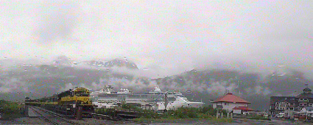
We hoped the weather would be nicer on the Whittier side of the tunnel, but it was worse!  We could see the base of the mountains surrounding the town but not the tops!  As it rained, passengers from a cruise ship boarded an Alaska Railroad train that would take them to Anchorage and Denali/Fairbanks.  This is the same train mentioned in our earlier Anchorage blog post.

2018 Alaska Trip Video 0318 - 1807111241
Alaska Railroad train and cruise ship in Whittier

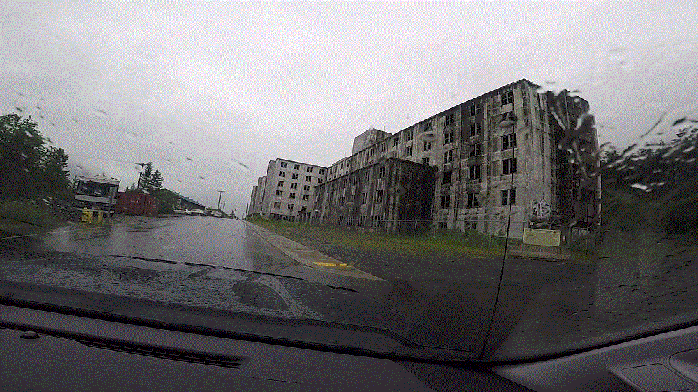
During WWII, the US Army established Whittier in response to the Japanese capture of several Aleutian Islands.  Whittier also played a role in the post-WWII cold war with Russia.   Buckner Barracks was built and was one of the largest buildings in Alaska at the time.  The Army facility closed in 1960 and the abandoned barracks still dominate the skyline.

Today, most of Whittier lives in another large building – the 14-story Begich Tower.

2018 Alaska Trip Video 0315 - 1807111230
Abandoned Buckner Barracks

After two wet days, the sun finally came out and we enjoyed a fantastic view of Portage Lake.2018 Alaska Trip 2425 - 1807121147As we left, we reflected on two wet days in the area.  We now refer to Whittier as wettier and we find the meaning of Williwaw to be rather ironic.  A williwaw is a sudden violent squall blowing offshore from a mountainous coast.
Ahead – we learn what all the spitting is about in Homer…

Anchorage Life

(2018 Alaska Ep 34)

On Monday, July 2 we left Valdez for Anchorage (RabbiTRAILS Alaska Map, pt #38).

With nearly 300,000 people, Anchorage is the first city since Edmonton three weeks earlier.  The city has high rise buildings, four-lane limited access highways, a very busy major airport, just about every chain store and fast food restaurant imaginable including real Super Walmarts and Fred Meyer, the cheapest gas since leaving the lower 48, and homeless people.

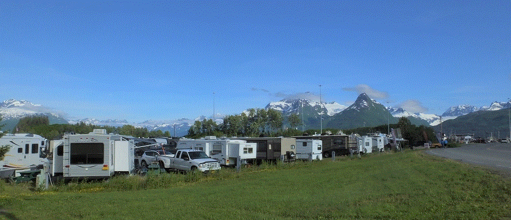
We camped next to an industrial area just north of downtown.  Although the campground didn’t have a lot of fancy amenities, it was very conveniently located about five blocks from the downtown area.

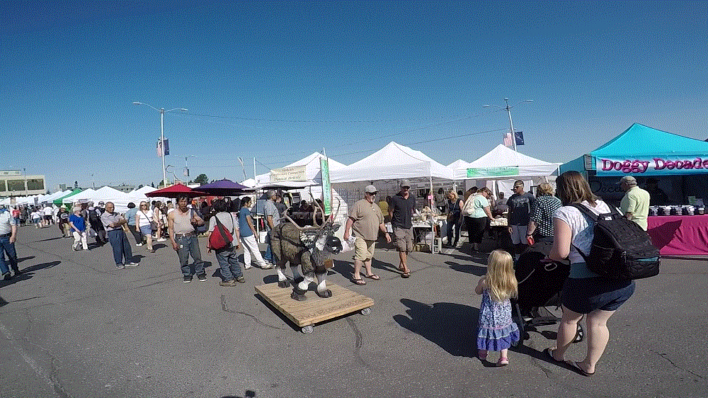
We enjoyed a US Army band during Fourth of July celebrations in a city park and the Anchorage Farmers’ Market and Festival in large parking lot, both less than five minutes away.  We connected with several bike trails crisscrossing the city.   The weather was clear and unusually warm by Alaska standards – about 80 during the day and 60s at night.

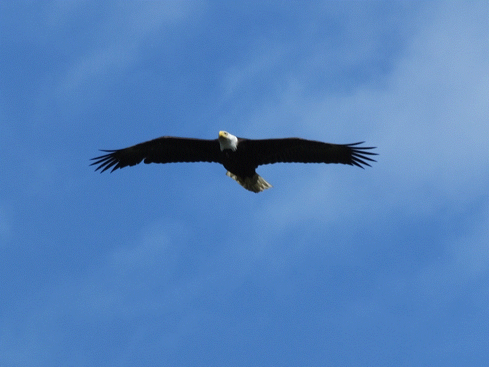
Look west from Anchorage and you’ll see the Cook Inlet and distant mountains. Closer to the east are the mountains of Chugach State Park. We drove 30 miles to hike a state park trail along the Eagle River.  The destination was a waterfall on one of the forks of the river.  We had to settle for a soaring eagle and sunny picnic lunch on the riverbank when we couldn’t cross the river due to swift and deep water.

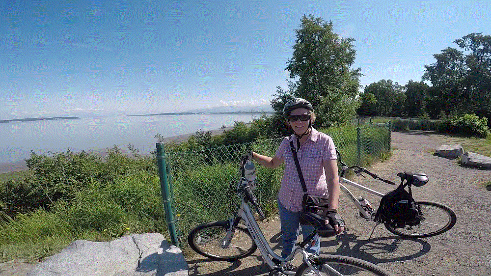
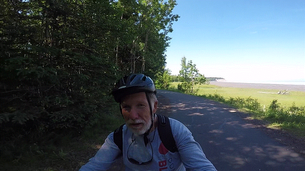
We fared better with Anchorage Bike trails.  Named for a former Alaska governor, the Tony Knowles Coastal Trail extends 11 miles from downtown along the Cook Inlet.   It parallels the Alaska Railroad for a couple miles and then goes through various wooded areas, wetlands and open fields.  We were told Denali could be seen on a clear day from one open area, but haze kept us from seeing the high one on that day.

On another day we rode the Chester Creek trail after connecting via the coastal trail.  Moose had been spotted in the area (we didn’t see any) and salmon spawn in the creek (wrong time of year).  Nonetheless, we enjoyed the shaded trail as it wound several miles across the city.

We saw and heard large jets as they landed and took off throughout the day.  Because of its location, Anchorage is a major air hub for global shipping and Alaska tourism.

2018 Alaska Trip 2281 - 1807031814

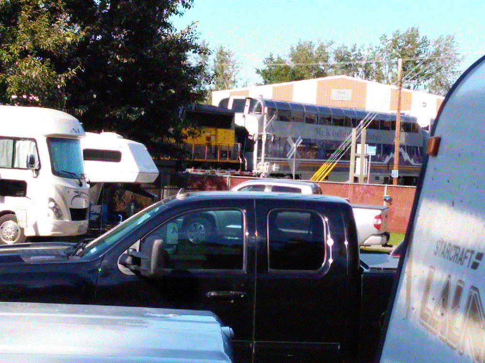
Many tourists take the Alaska Railroad north to Denali and Fairbanks, and then return south to Seward or Whittier to cruise to Seattle or Vancouver.  Three northbound passenger trains in the morning  and three southbound passenger trains in the afternoon passed within 100 yards of our campground.  The train horns – two long, one short and one long – were very loud!

Our time at Anchorage came to a close as we left for Whittier on Monday, July 9.  The weather was about to change.

A Little Valdez History

(2018 Alaska Ep 33)

2018 Alaska Trip 2099 - 1806271743
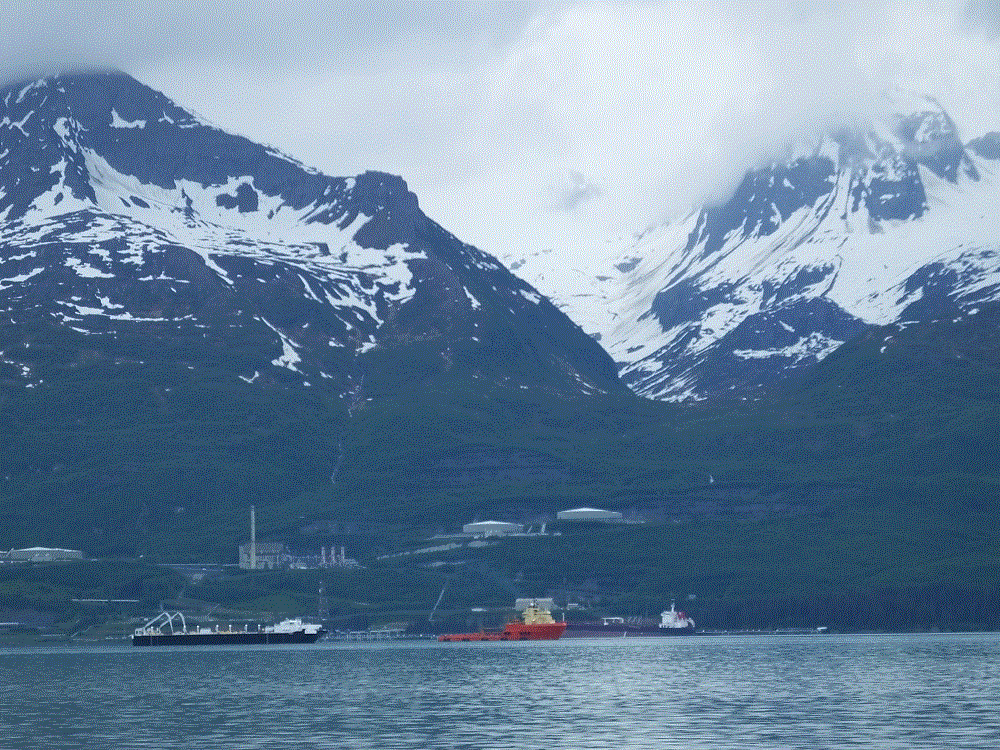
Oil pipeline storage and ships seen from across the sound

Most people know about the Exxon Valdez oil spill.  At 12:04 am on March 24, 1989, the 987 foot long oil tanker Exxon Valdez stuck Bligh Reef on Prince William Sound near Valdez.  Eight of the 11 tanks on the ship were punctured spilling nearly 5.8 million gallons of crude oil in three hours.  Later reports put the total spill at 10.8 million gallons.

Due to the area’s remote location, and a slow and uncoordinated response, the environmental impact was devastating.  There was a massive cleanup effort of hundreds of miles of shoreline by thousands of persons.  29 years later, many of the affected animal species have recovered, but there are still significant lingering effects of the spill.

Valdez was not directly impacted by the spill – it is 27 miles from Bligh Reef.  But the resulting media and environmental attention had a major impact with more than 10,000 persons overwhelming the town of 4100.

Valdez has not fared well in March.

During the afternoon of March 27, 1964 the ground began to shake and continued for nearly five minutes.  The Good Friday Earthquake, as it has come to be known,  measured at 9.2 on the Moment-Magnitude scale, the largest ever recorded earthquake in North America and second largest in the world.

The earthquake significantly impacted Valdez, Anchorage, other towns in Alaska, and coastal areas as far south as California, as well as Hawaii and Japan.  The epicenter was about 45 miles west of Valdez.

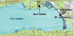
32 persons were killed in Valdez from the waterfront sliding into the sea and a 30-to-40 foot tsunami that followed.

Valdez was badly damaged and was moved to its current location three years later.

Old-New Valdez

The Valdez Museum has engaging exhibits on both the oil spill and earthquake.

Valdez, End of the Pipeline

(2018 Alaska Ep 32)

We left the Alaska Highway after a couple nights in Tok and travelled southwest via the Glenn and Richardson Highways to Valdez (RabbiTRAILS Alaska Map, pt #37).

(as an aside, major highways in Alaska are usually referred to by their names and not by the road number.  The name often has historical significance)

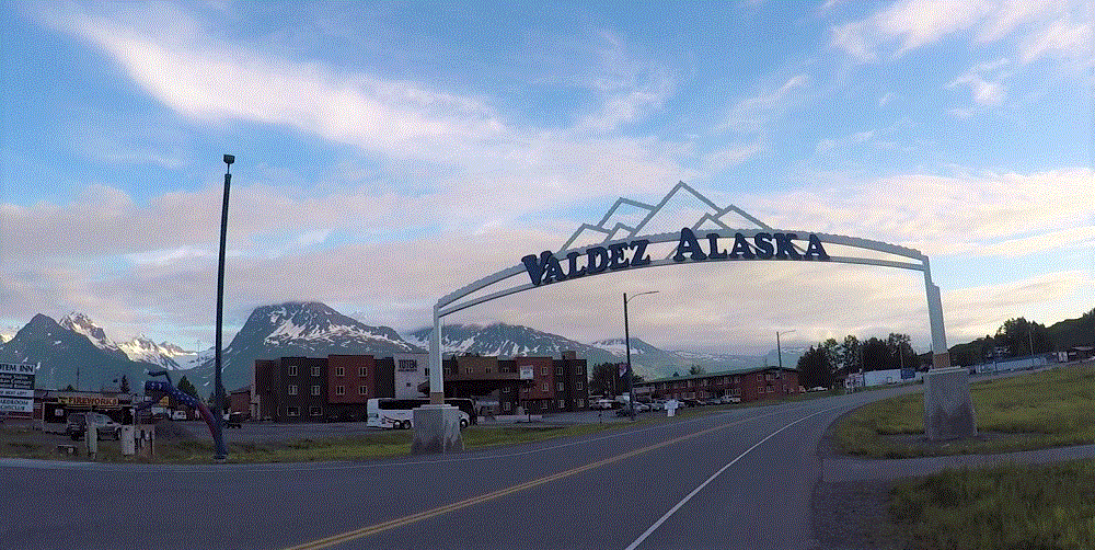
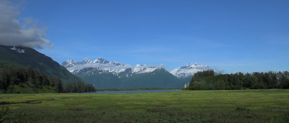
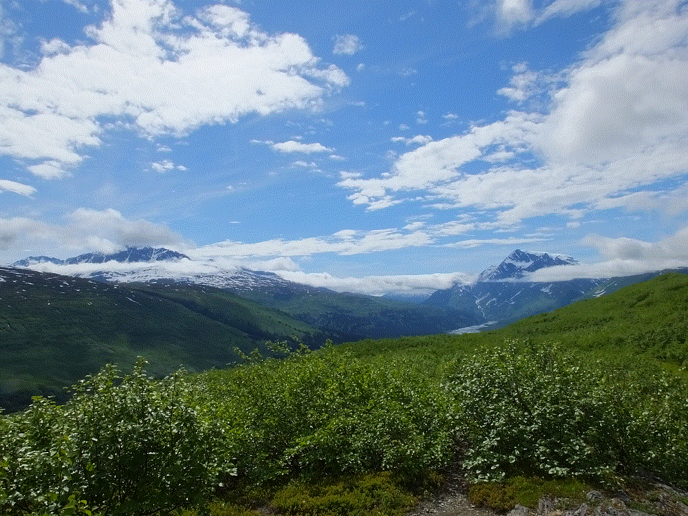
Enroute, we crossed the Thompson Pass in heavy rain and fog, and descended into the Valdez area.  Valdez is located on Prince William Sound and is surrounded by snowtopped mountains.  The lower mountain slopes are covered with bushes and there are numerous waterfalls from snow and occasional glaciers.  It is beautiful!

2018 Alaska Trip Video 0268 - 1807012111_Moment

We hiked various trails during the week.

2018 Alaska Trip 2103 - 1806271748

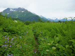
One was along marshy flats close to the sound. The trail was muddy from rain and went through VERY think vegetation – from long growing days!!

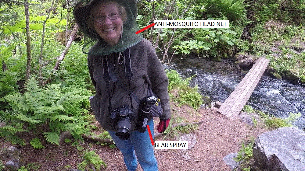
We saw bear droppings and footprints in the mud, and were glad to have bear spray just in case.

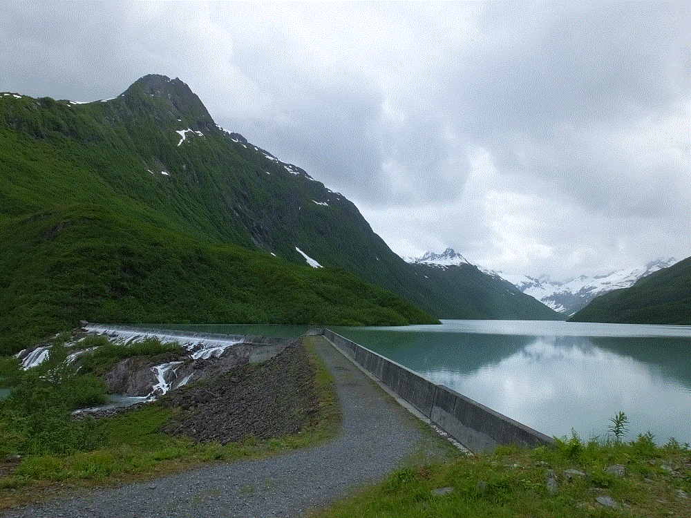
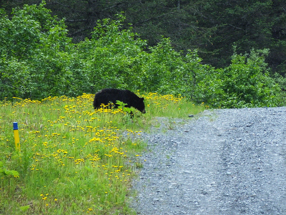
The next day we hiked a steep trail to a reservoir that provides water for a salmon fish hatchery across the bay.  Part of the trail follows the infamous Alaska Oil Pipeline – it is buried in that area however.  On the return hike we saw a black bear on the trail several hundred yards away.  Fortunately our shouts scared him off.

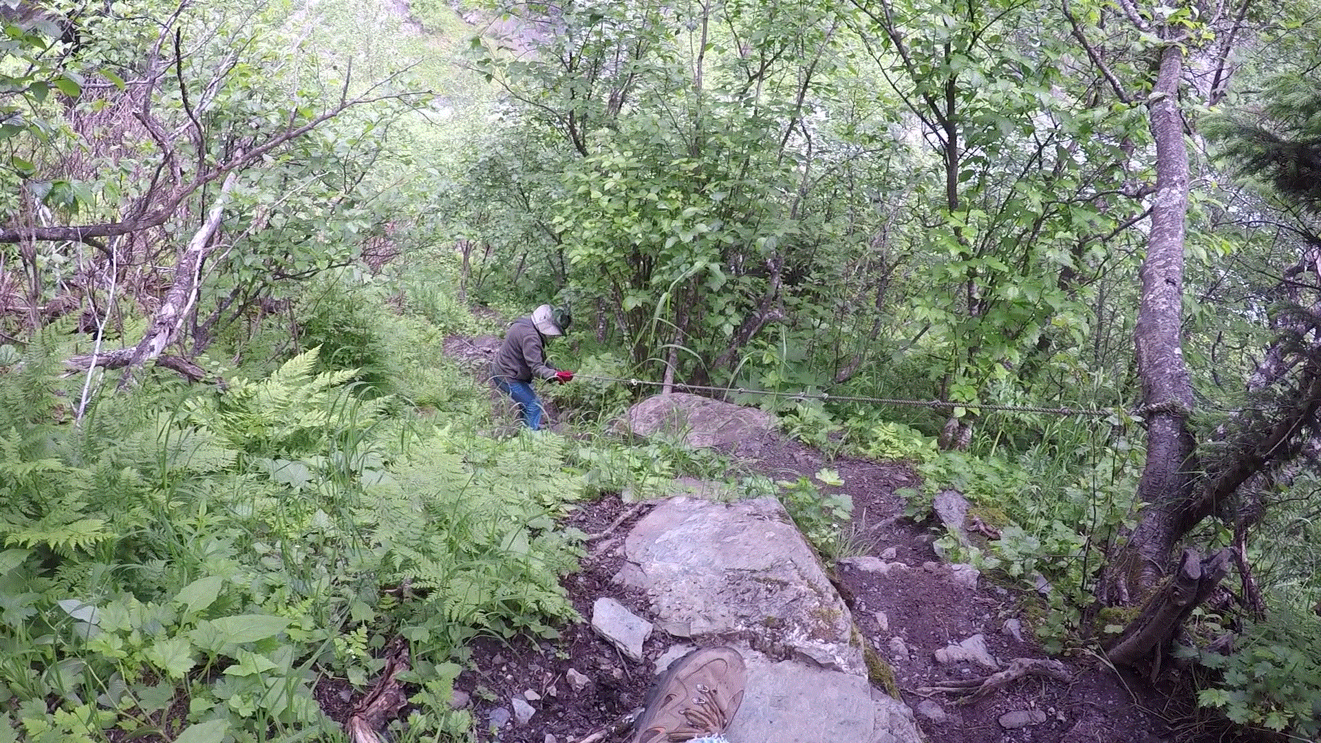
The most challenging hike was along a trail used by prospectors in 1899.  It was rocky and crossed several streams, and we had to use a knotted rope to descend one VERY steep section.  Meanwhile we were being feasted upon by hungry Alaskan mosquitoes.  We used our head nets for the first time during the trip!

2018 Alaska Trip Video 0247 - 1806291537_Moment
Pat’s mountain descent via rope
2018 Alaska Trip Video 0245 - 1806291500_Moment
Essentials for Alaska hikes

Most of the week it was overcast and occasionally drizzly.  The weather cleared on the last day and we were treated with stunning views of the mountains from the campground.  2018 Alaska Trip 2246 - 18070120502018 Alaska Trip 2251 - 1807012054

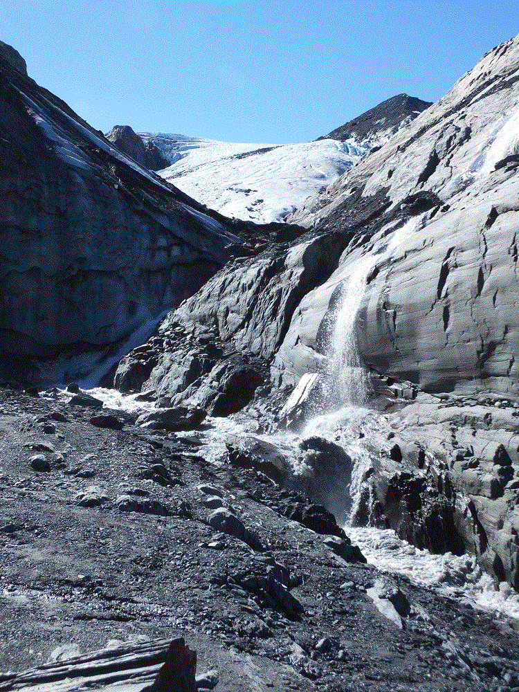
Before leaving for Anchorage the next day, we drove up to Thompson Pass and enjoyed a hike to Worthington Glacier.

2018 Alaska Trip 2215 - 1807011737
Thompson Pass view
2018 Alaska Trip 2232 - 1807011858
Worthington Glacier

Please watch for an upcoming blog post with interesting Valdez history.

Alaska Highway – Segment 6

(2018 Alaska Ep 31)

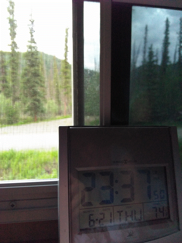
Our stay at Lake Creek Yukon Provincial Park (RabbiTRAILS Alaska Map, pt #34) was on June 21, the summer solstice.  This marked the first day of summer 2018 and the longest day of the year for the northern hemisphere.

There is no night! 

From sunrise to sunset the day was nearly 20 hours long.  It was light when we went to bed at around 10 pm and from the photo below, you can see it was still light at nearly midnight.  The birds announced sunrise before 4 am.  The darkest it got was like twilight after sunset.

2018 Alaska Trip 2009 - 1806212338

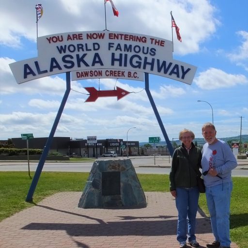
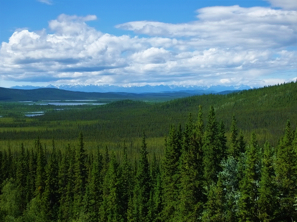
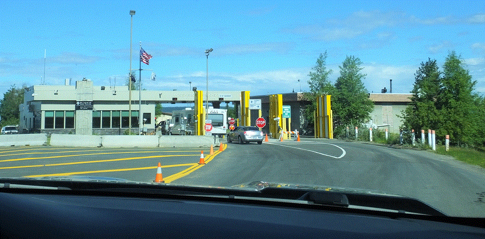
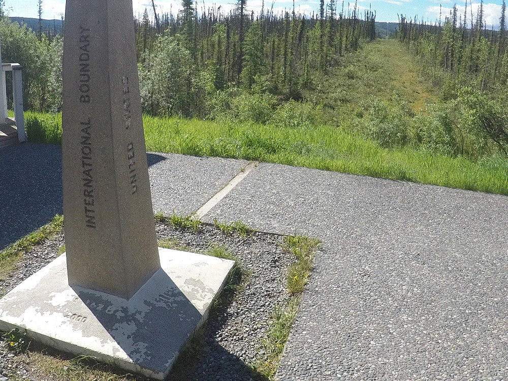
June 22 was our last day in Canada and first day in Alaska!   The mountains to the west were in the US – part of Wrangell-St Elias National Park, the largest US national park that is nearly four times the size of Yellowstone!

2018 Alaska Trip 2038 - 1806221335

Upon crossing the border, we where thankful to be home and for:

  • traveling mercies since we set out 69 days and nearly 9400 miles earlier.
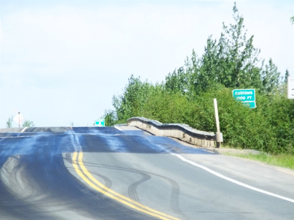
  • good roads, good weather and positive experiences throughout our trip, particularly during three weeks in Canada.  (BTW, the roads on the US side of the border were actually bumpier than those in Canada).
  • our family and friends at home offering encouraging blog posts and praying for us, and for those keeping an eye on our home.
  • the blessings of God’s creation, the many beautiful places we visited and the foresight of others to preserve those places for future generations to enjoy
  • cell phone coverage.  Our Verizon phones did not work in Canada.

Critter Count Day 6  (Lake Creek to Tok)

NONE.  They must have been sleeping after being up during the summer solstice!

Coming Up – A Week in Beautiful Valdez, Alaska!

Alaska Highway – Segment 5

(2018 Alaska Ep 30)

Restocked and medicine cabinet remounted with four additional screws, we pressed on to Tok, Alaska (RabbiTRAILS Alaska Map, pt #35), with a night at a Yukon Provincial Park (map pt #34) along the way.

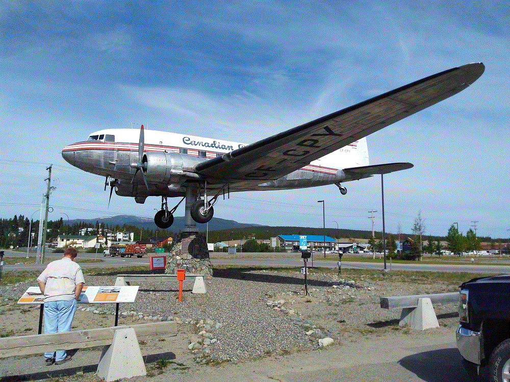
Before leaving Whitehorse we visited the world’s largest weathervane at the airport.  A full-sized Douglas DC3, manufactured in 1942 and retired in 1970, is mounted so that it actually turns in the wind!

2018 Alaska Trip 1907 - 1806201046

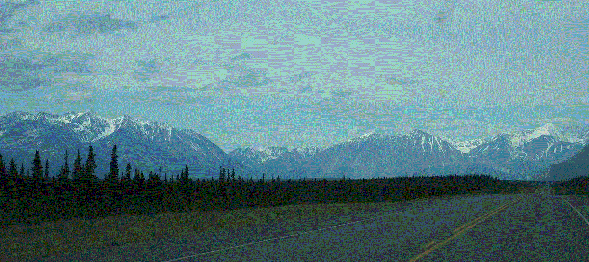
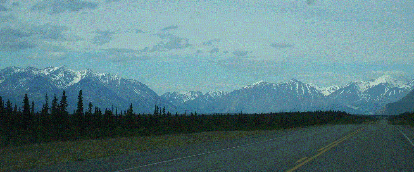
Later, we skirted snowcapped mountains to the west, part of Kluane National Park and Preserve.

2018 Alaska Trip 1978 - 1806211156

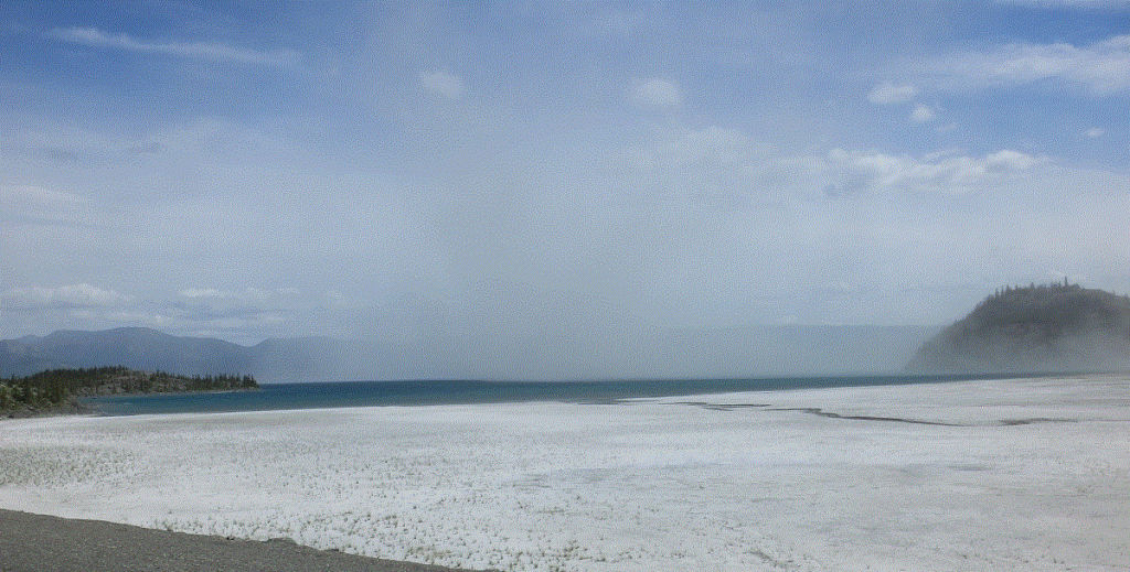
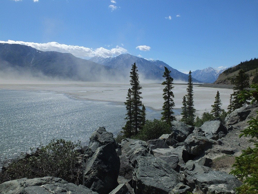
At one point, we noticed the distant mountains were shrouded by haze.  We assumed a forest fire, but discovered the haze was an immense dust cloud raised by winds blowing along a dried portion of Kluane Lake.

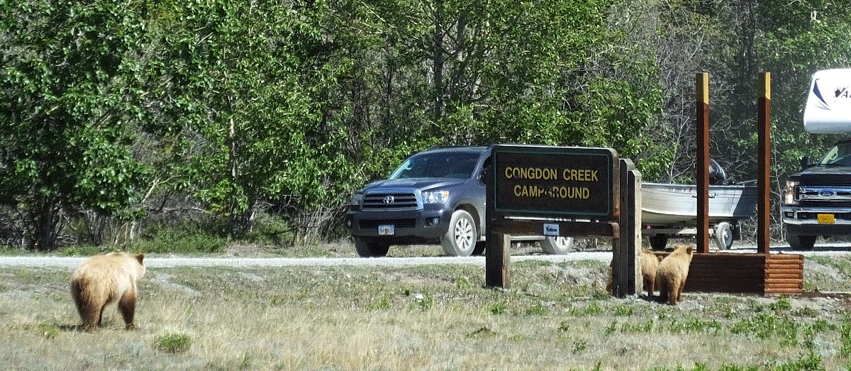
That afternoon we watched a mother grizzly bear and her two cubs near Destruction Bay.

2018 Alaska Trip 1992 - 1806211437

We thought the name Destruction Bay referred to poor roads in the area and their effect on RVs.  The name was actually given following a storm that destroyed buildings and such when the Alaska Highway was being built.

Our stop for the night was at Lake Creek Yukon Provincial Park.  We enjoyed the quiet campground.  The hungry Yukon mosquitoes enjoyed us….

Critter Count Day 5 (Whitehorse to Lake Creek)

  • grizzly bears – 3

Alaska Highway – Whitehorse

(2018 Alaska Ep 29)

We arrived in Whitehorse (RabbiTRAILS Alaska Map, pt #33) on June 18 and stayed for three days.

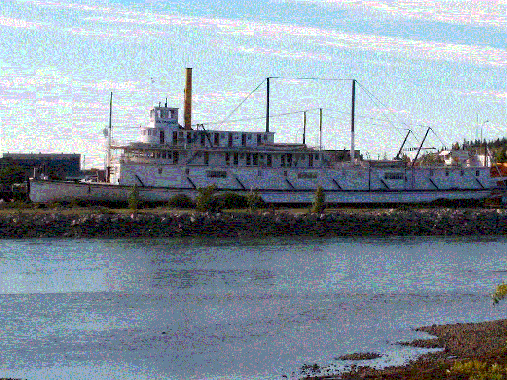
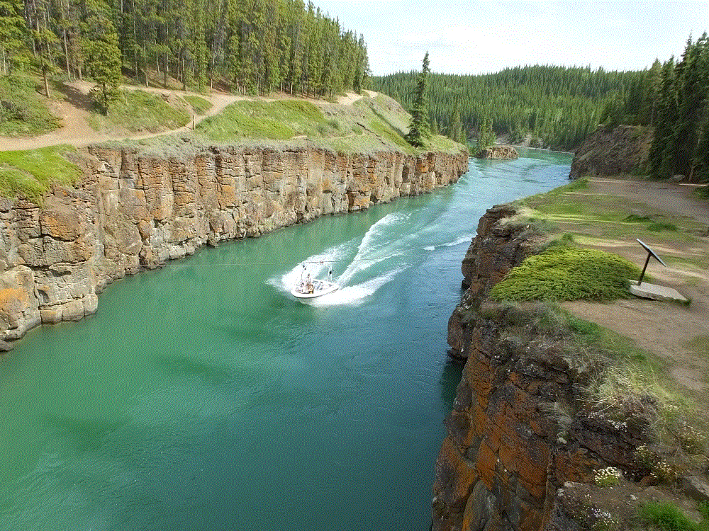
We biked and hiked along the Yukon River, and enjoyed the excellent trails that extend throughout the town.  We rode past the SS Klondike, a sternwheeler that ran freight between Whitehorse and Dawson City from 1929 to 1950.  The ship is now a national historic site.

2018 Alaska Trip 1899 - 1806191954

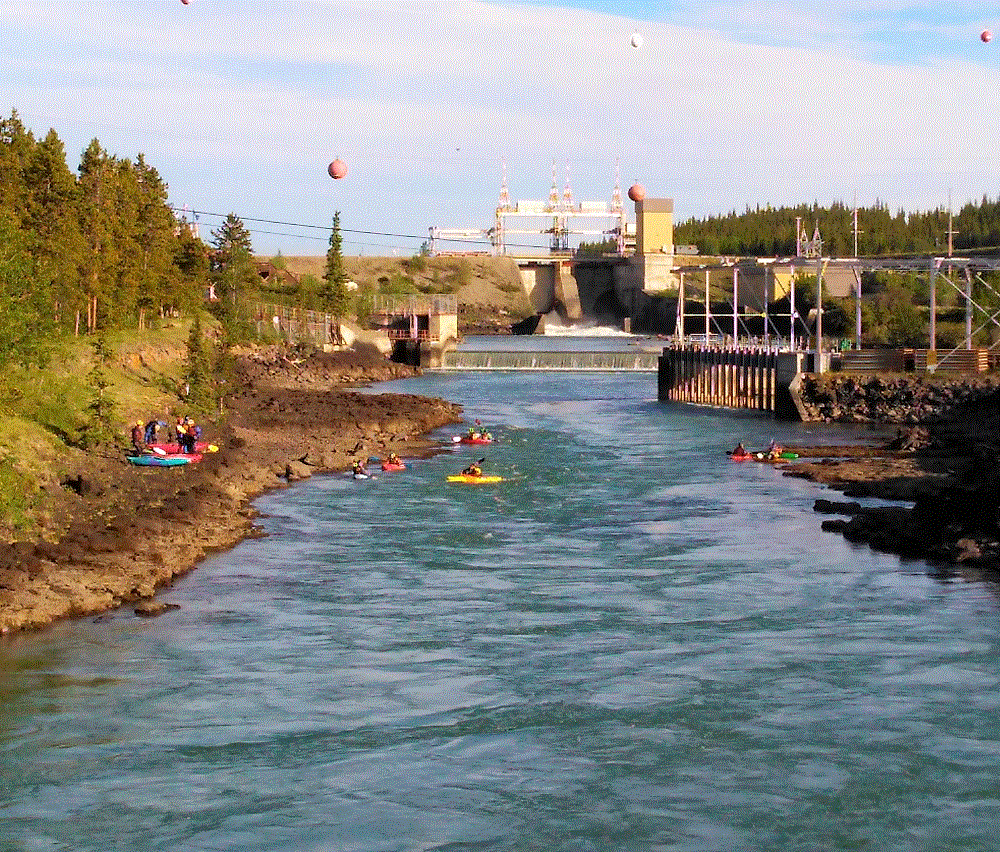
The Yukon is dammed upriver from Whitehorse.  Besides hydro power and the trails mentioned above, there are various other recreational opportunities, such as kayaking (downriver) and boating (upriver).

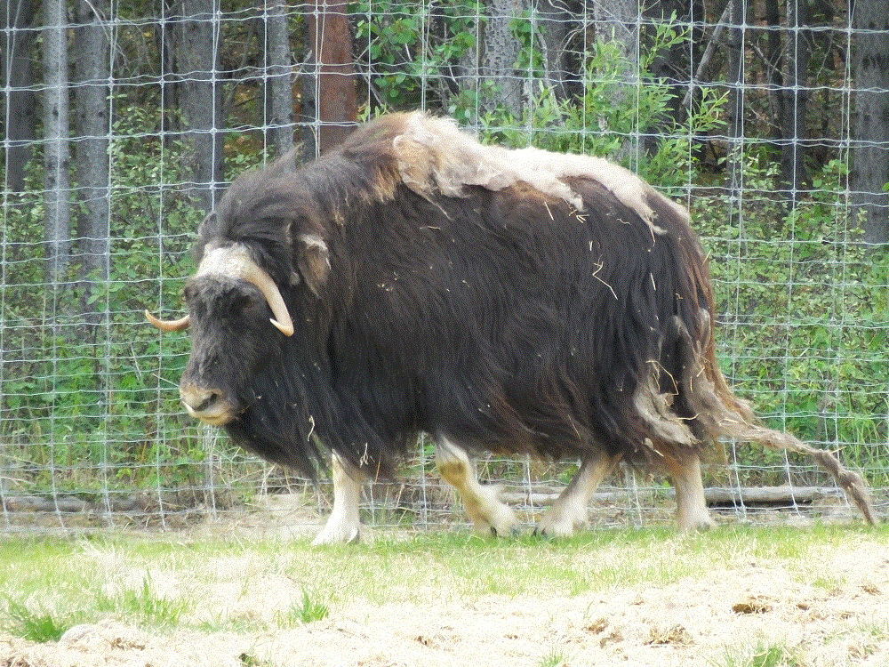
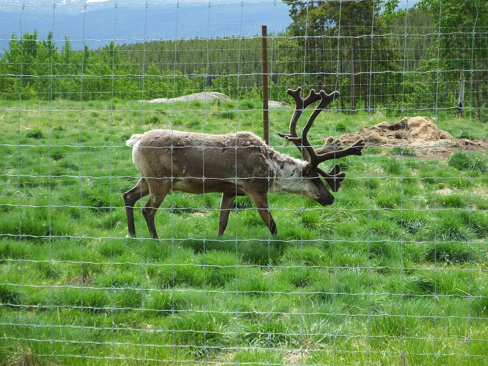
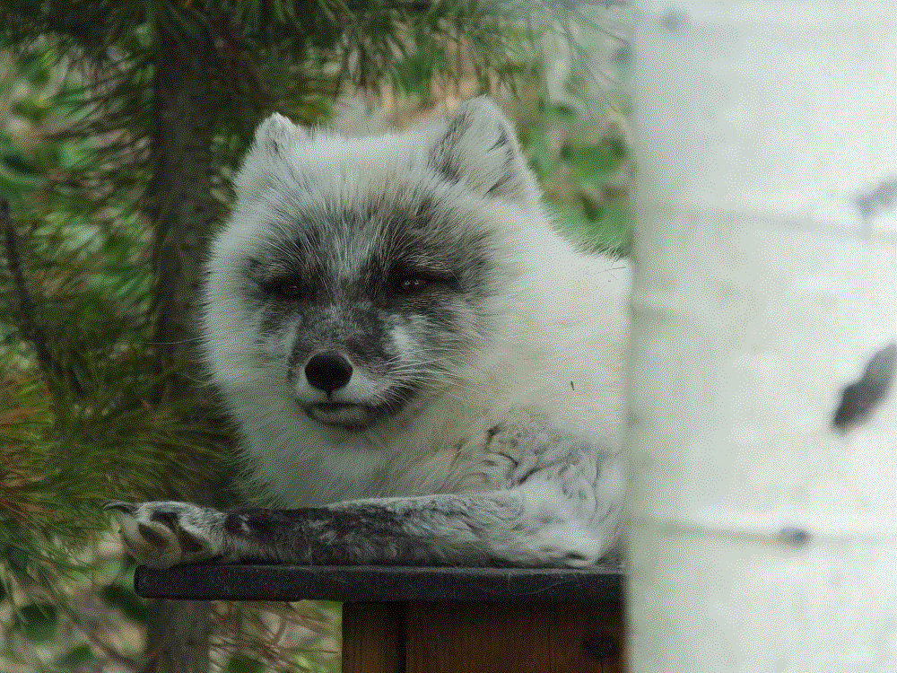
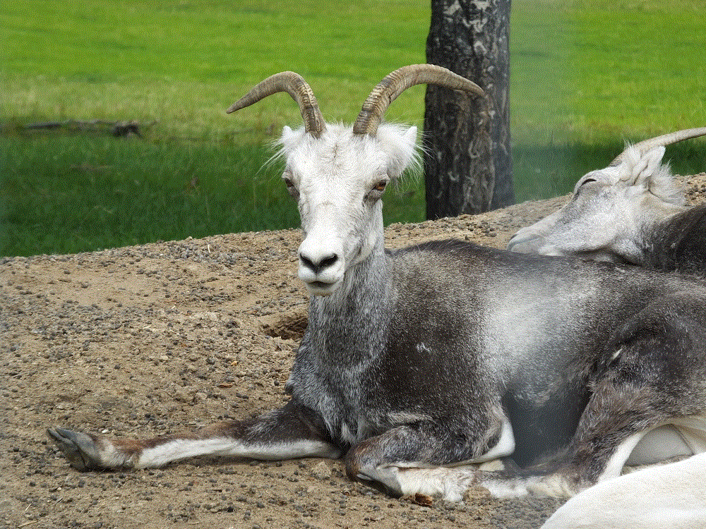
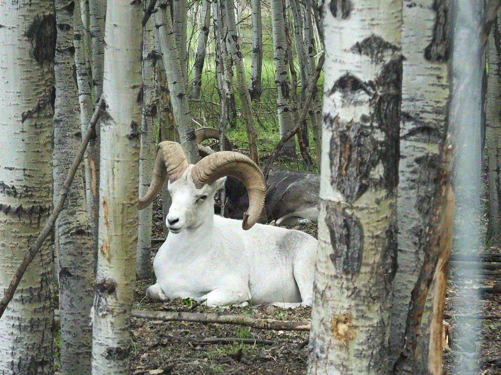
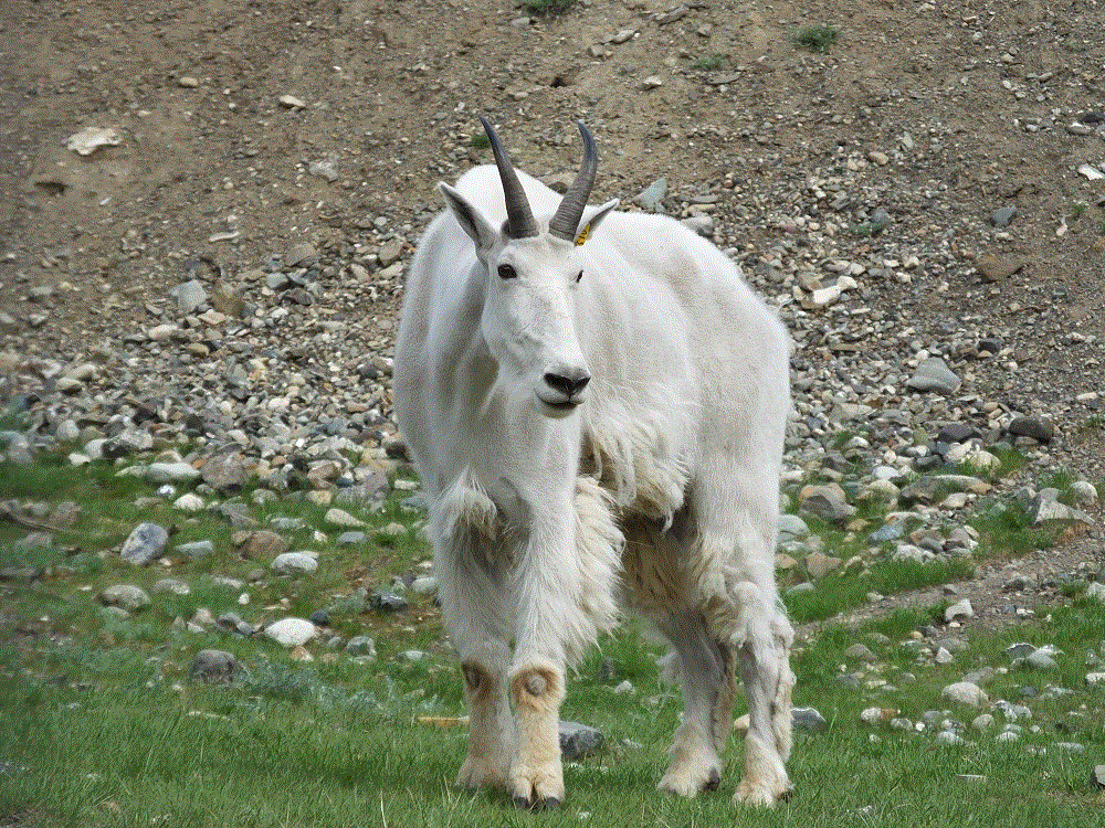
We visited the Yukon Wildlife Preserve where a number of animals native to the north can be seen in their natural habitat.   The animals include mule deer, wood bison, elk, musk ox, thin horn sheep, caribou (also known as reindeer), mountain goats, arctic and red fox, lynx and moose.

We also restocked our groceries at a smaller-than-normal Wal-Mart, the first we’d seen since Dawson Creek more than 900 miles back.  We counted more than 50 RVs in the parking lot, who were enjoying a free night stay and convenient shopping.

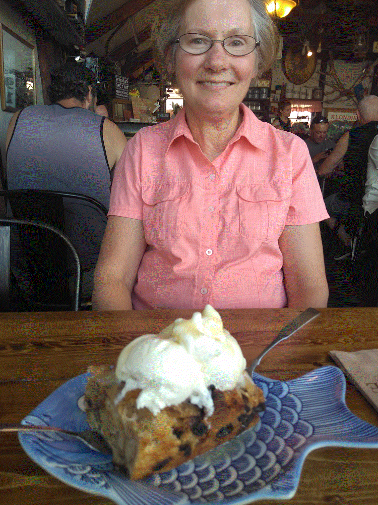
Finally, we celebrated Pat’s birthday with dinner at the Klondike Rib and Salmon BBQ.  We ended a great meal with birthday-sized bread pudding!

2018 Alaska Trip 1896 - 1806191911

Alaska Highway – Segment 4

(2018 Alaska Ep 28)

We continued from Watson Lake (RabbiTRAILS Alaska Map, pt #32) to Whitehorse (map pt #33) on June 18 – past boreal forests, catching glimpses of snowy mountains in the distance.

kluane-roadside

Alaska Highway and Yukon guides, and numerous information displays along the road reference the term boreal – we wondered about the meaning of the word.

A boreal climate is characterized by long winters and short, cool to mild summers, and is just south of the Arctic.  We have been fortunate that our Alaska Highway trip has been very pleasant with little or no rain.

A boreal forest is characterized by coniferous trees – we have driven by miles and miles of spruce and pine trees.  Sizes vary, with shorter trees in areas of past forest fires or flat areas where permafrost keep tree roots very shallow stunting tree growth.

There are also stands of aspen and other broadleaf trees.  Perhaps we will see leaves changing when we begin the trip home in early September.

Our fears of the condition of the Alaska Highway have generally been unfounded.  The road is in good shape, with few rough areas and occasional road construction.  Road construction is extremely dusty – the dust gets onto and into everything.

Alaska Highway road construction is a short video that shows typical road construction on the Alaska Highway.  Note the dust clouds created by the vehicles ahead!  (this is an experiment – it may take a moment to load.  Please let us know in the comments if the video works for you)

The long road has taken its toll.  When we stopped for lunch we discovered the bathroom medicine cabinet fell off the wall!  There was no damage other than four gaping holes in the wall where the screws that held the cabinet pulled out and various items strewn all over the floor.

At the end of the day we arrived in Whitehorse, the capital and largest city in Yukon with about 25,000 residents.

Critter Count Day 4 (Watson Lake to Whitehorse)

  • black bear – 4
  • grizzly bear – 1
  • bald eagles – 2

2018 Alaska Trip 2071 - 1806261357

Alaska Highway – Segment 3

(2018 Alaska Ep 27)

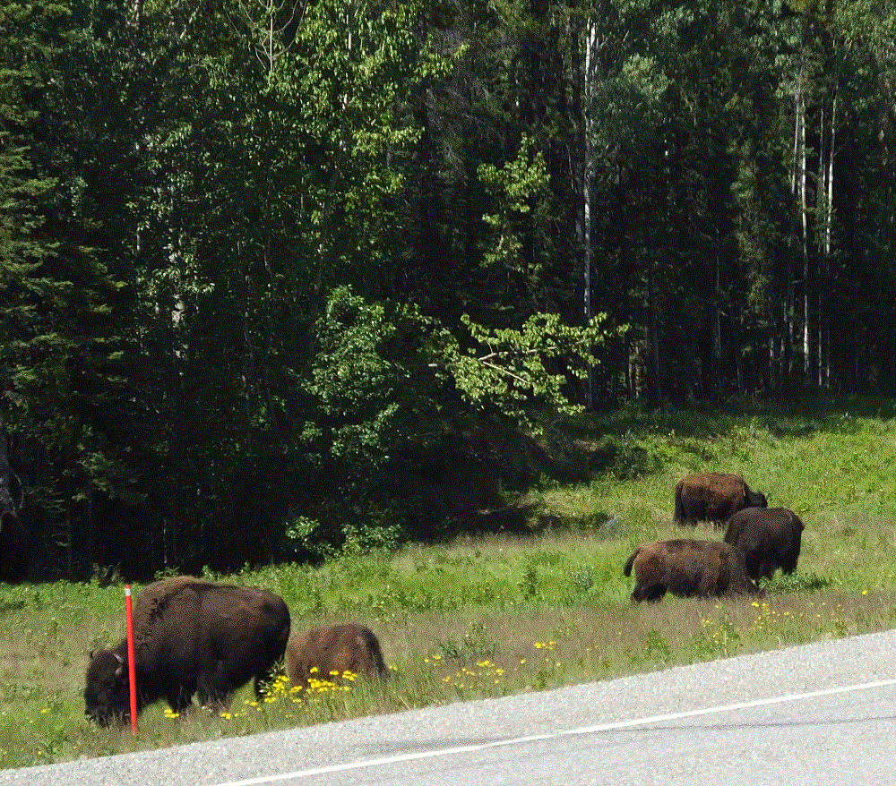
On June 17 we made our way from Muncho Lake (RabbiTRAILS Alaska Map, pt #31) to the small town of Watson Lake, Yukon (map pt #32).  North of Liard Hot Springs, we saw signs advising of Wood Bison along the highway.  We weren’t disappointed.

We stopped to see several individual and two larger herds of Wood Bison.

Our first take was the wood bison were smaller than the plains bison commonly seen at Yellowstone and elsewhere.  We learned that wood bison are actually larger but their overall numbers are much fewer.  Their behavior and demeanor are very similar, however.

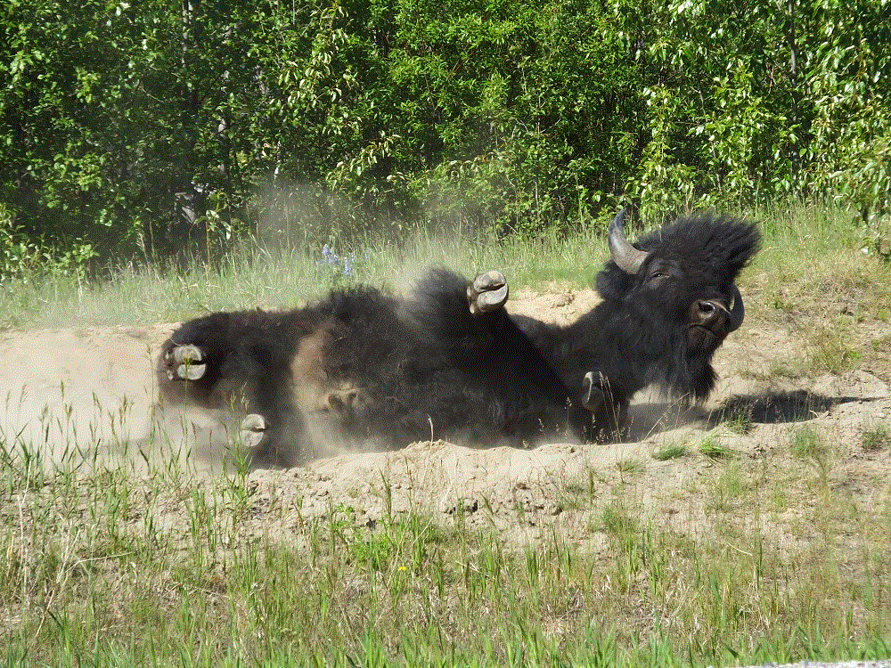
Some even like to take dust baths to remove mites and excess winter coats  It is a sight indeed to see a 1500+ pound, 6-foot tall behemoth roll in the dirt like a hound dog!

Watson Lake

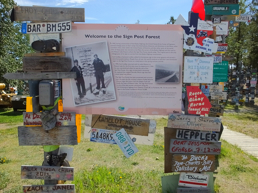
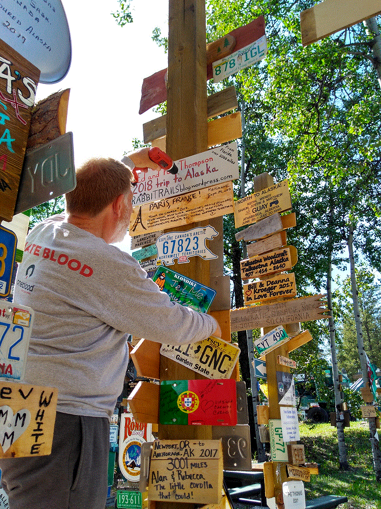
We arrived in Watson Lake, Yukon several hours later, and after getting set up, we visited what everyone who comes to Watson Lake visits – the sign post forest.
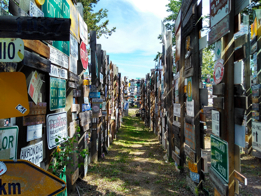
During construction of the Alaska Highway in 1942, a homesick soldier from Illinois added his hometown sign to an Army mileage post.  Others did the same and this quickly became a tradition followed by visitors from all over the world.  The single signpost has grown to a forest, with 90,000+ signs added over the years.
Make that 90,001 signs.

2018 Alaska Trip 1859 - 1806171540

Critter Count Day 3 (Munchos Lake to Watson Lake)

  • wood bison – 56
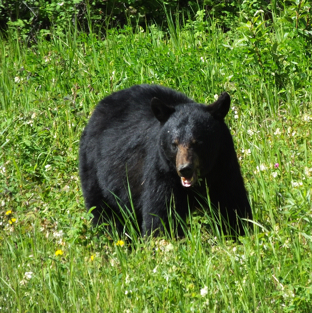
  • black bear – 1 (smiling for the camera below)
  • stone sheep – 1
2018 Alaska Trip 1843 - 1806171145